Plan
Pick the weekend. Rypa picks the hour.
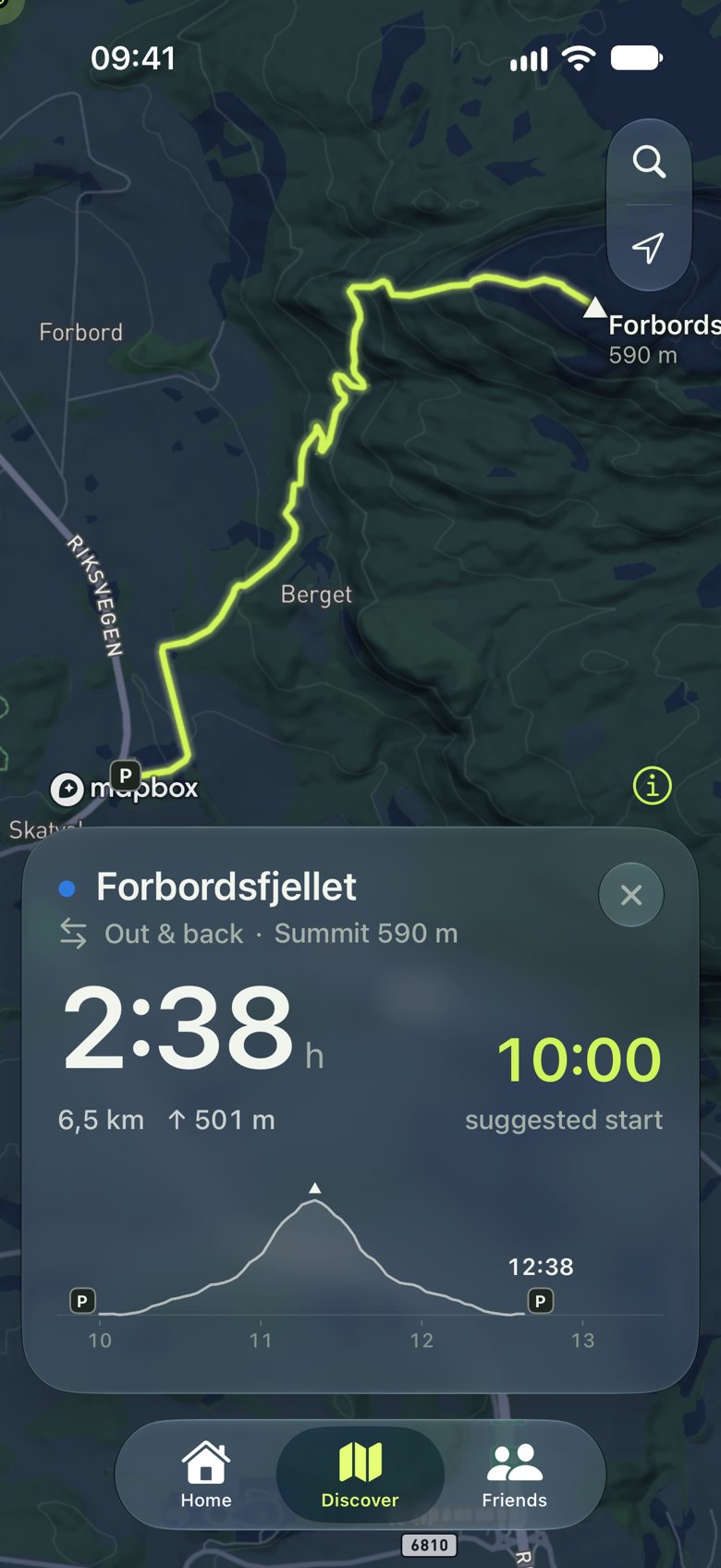
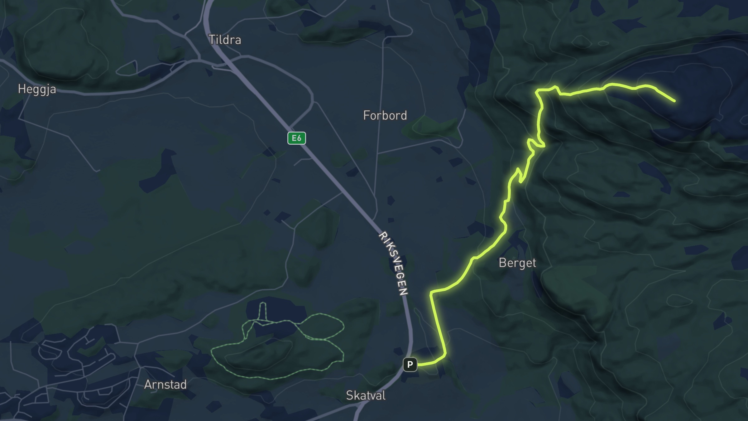
It reads the forecast along the trail and tells you when to start, so you’re down before dark.
Map © Mapbox © OpenStreetMap
Rypa picks the trail and the start time from the forecast and the daylight. Then it guides you there and home, with or without signal.
Plan
It reads the forecast along the trail and tells you when to start, so you’re down before dark.
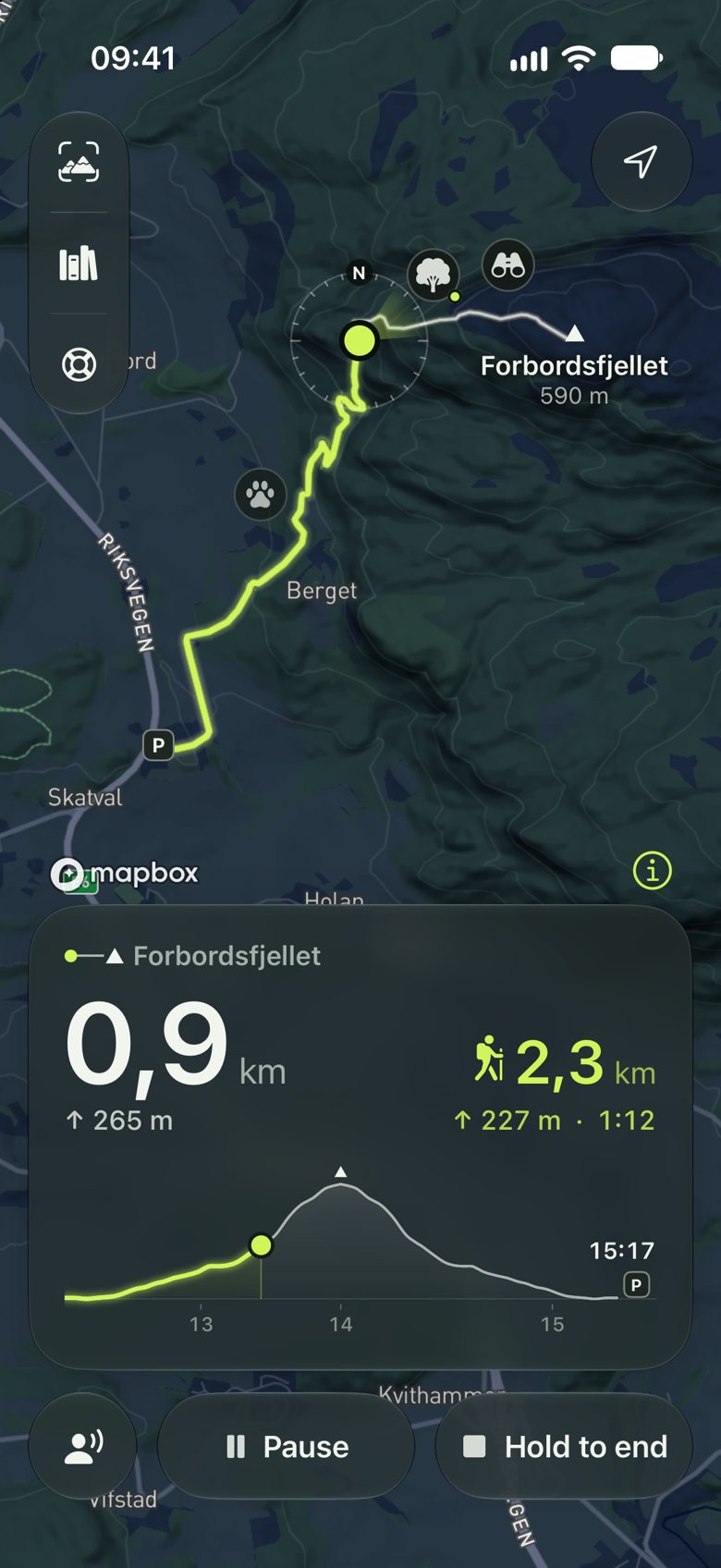
Go
Go works offline. It tells you when to turn back, when rain is coming, and when you’ve left the trail.
Look
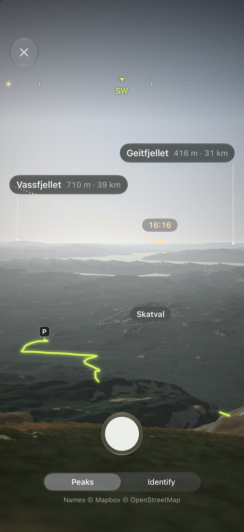
Look names the peaks around you through the camera.
Next Saturday on Forbordsfjellet the sun sets at 15:45. The hike takes 2 h 38 min. Rypa plans around both.
What other hiking apps leave out, because you only miss it when you need it.
Swipe for more
Together
And everyone else only sees what you choose. The social side of hiking, done the way it should be.
Marte is out hiking
Forbordsfjellet · back by 15:30
If she isn’t down by 16:00, Rypa tells you, with her last position and who to call.
Pick who should know. Friends follow you in Rypa, anyone else gets a text with a link to a live map. If you’re late, they hear it first.
Post a hike with the meeting place, pace and spots left, and say if dogs and kids are welcome. Friends, or anyone, ask to come along; you say yes.
Choose how much of the start and end to hide. It’s cut off on our server, so where you live never reaches anyone’s phone.
Say how hard you like it, how fast you walk and which days you’re free, and meet hikers nearby who match.
Sunday summits, small legs with big views: groups that hike together, with the trails they walk and the tops they hold.
Each one checked on the map: the climb, the time it takes and where to park. New trails are added as Rypa grows.
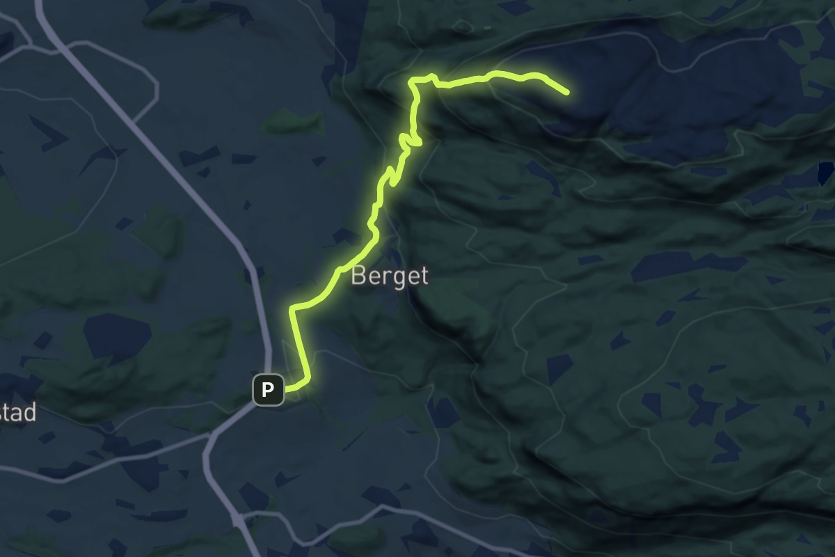
Medium · Summit
6.5 km · ↑ 501 m · 2 h 38 min
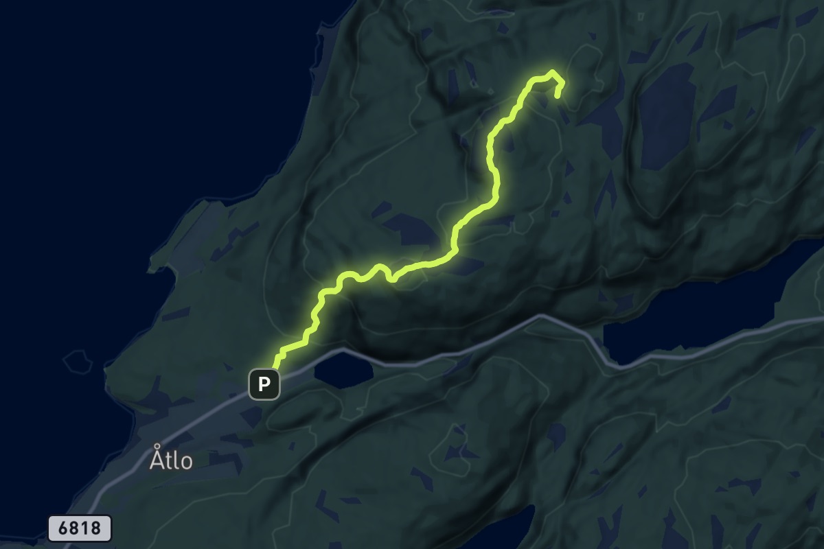
Medium · Cabin
6.6 km · ↑ 360 m · 2 h 20 min
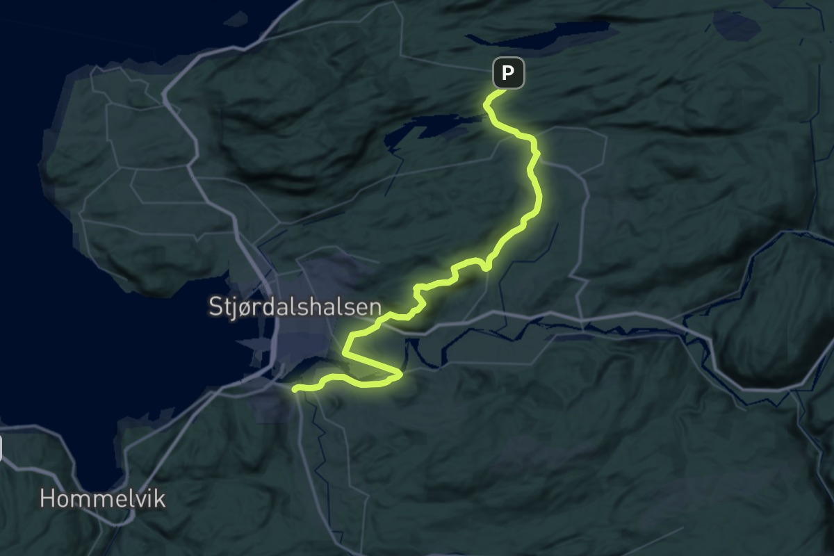
Demanding · Pilgrim path
21.8 km · ↑ 300 m · 6 h 11 min
Free to download. Norway first, then the rest of the world.
Coming soon to the App Store