Trails near les Escaldes
21 hikes starting within 15 km, nearest first.
Nearest first
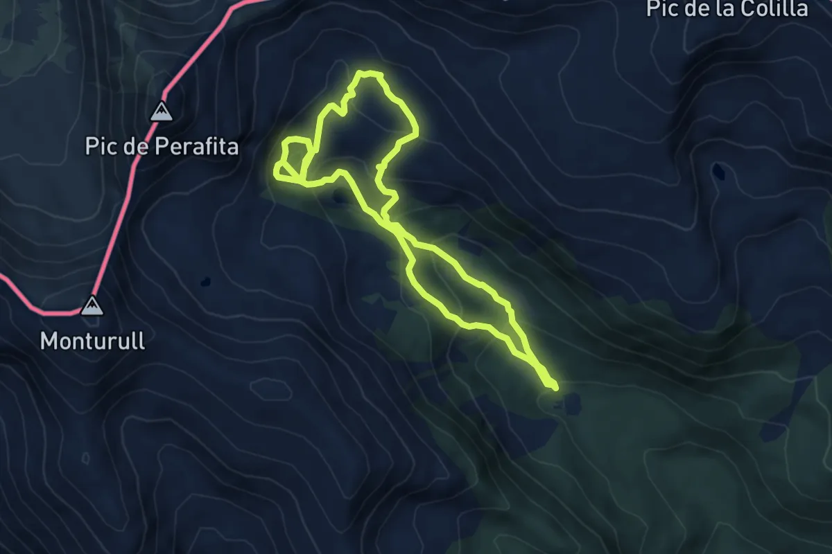
Medium · Trail
Estanys de la Pera
5.9 km · ↑ 330 m · 2 h 11 min · 7 km away
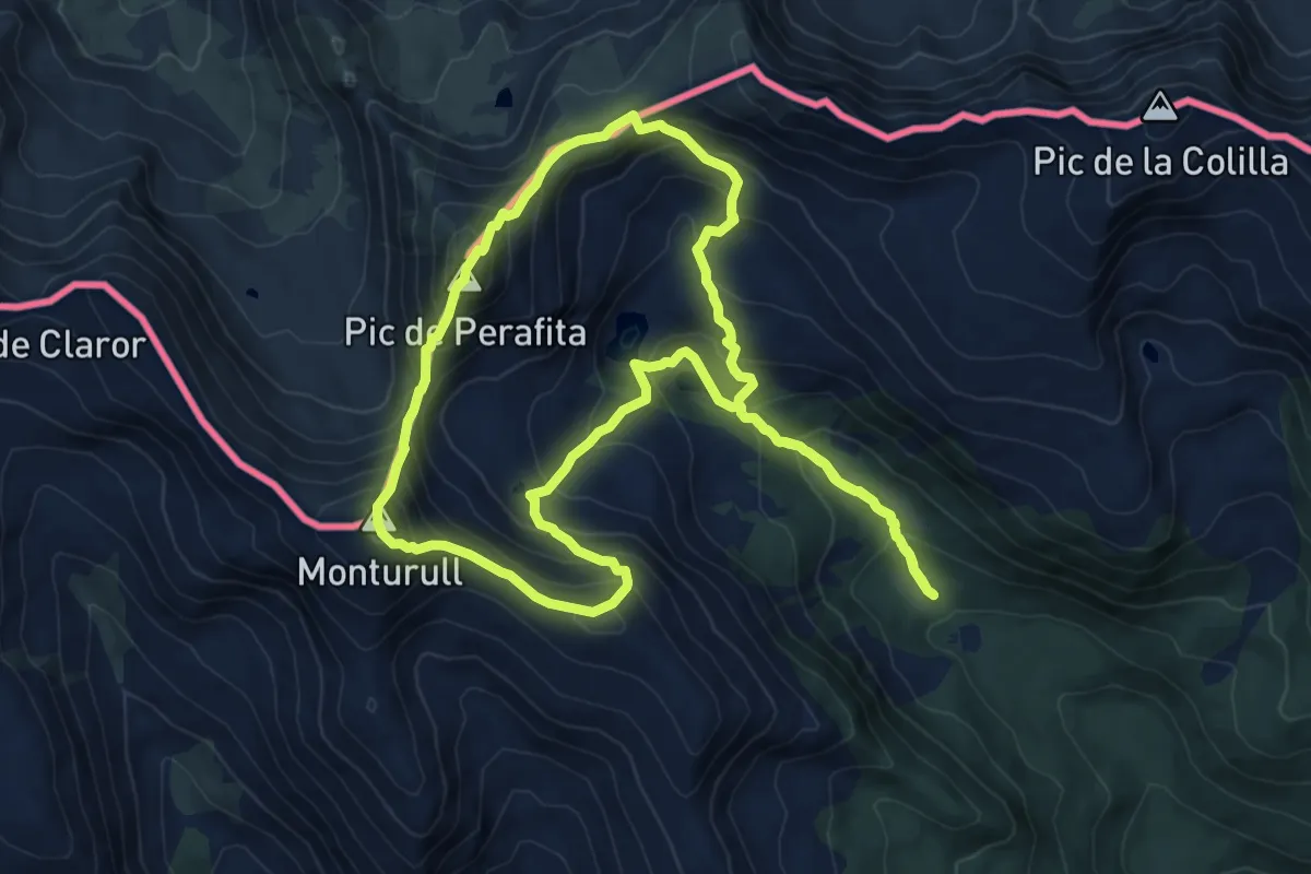
Medium · Summit
TC205 Pollineres Perafita Monturull
9.6 km · ↑ 790 m · 4 h 6 min · 8 km away
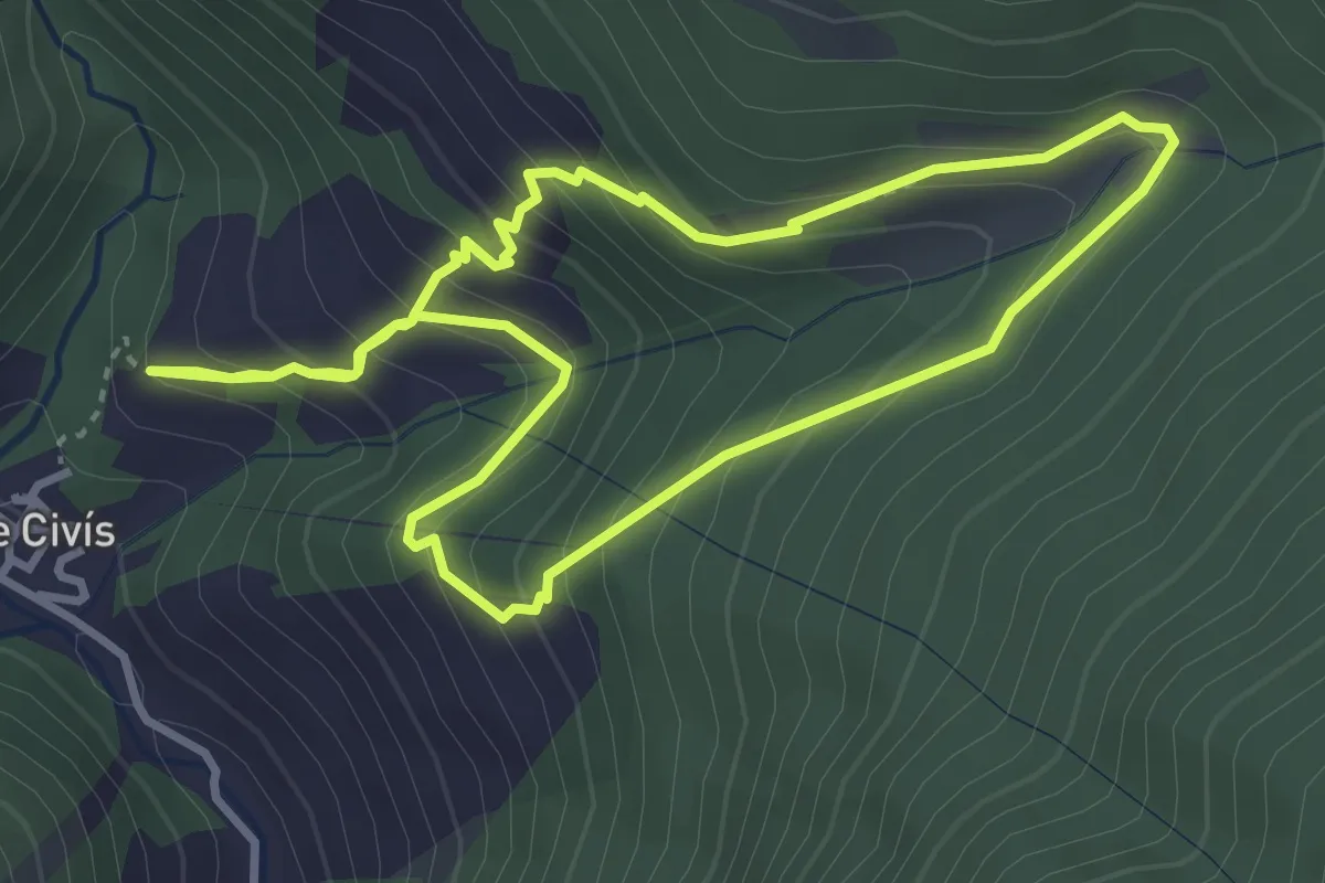
Medium · Trail
Os de Civís-Borda Cremada
3.6 km · ↑ 337 m · 1 h 37 min · 8 km away
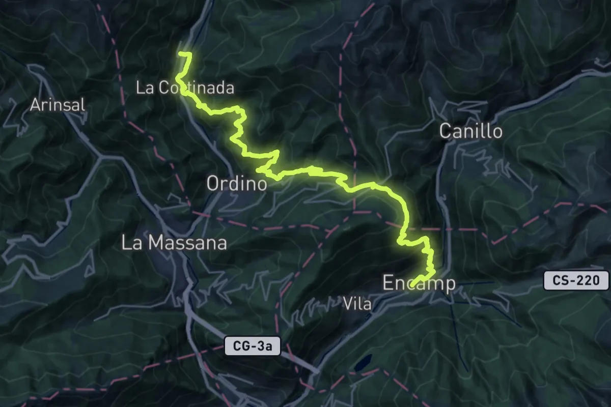
Demanding · Trail
Senda Pirenaica - E14
14.8 km · ↑ 1158 m · 6 h 15 min · 8 km away
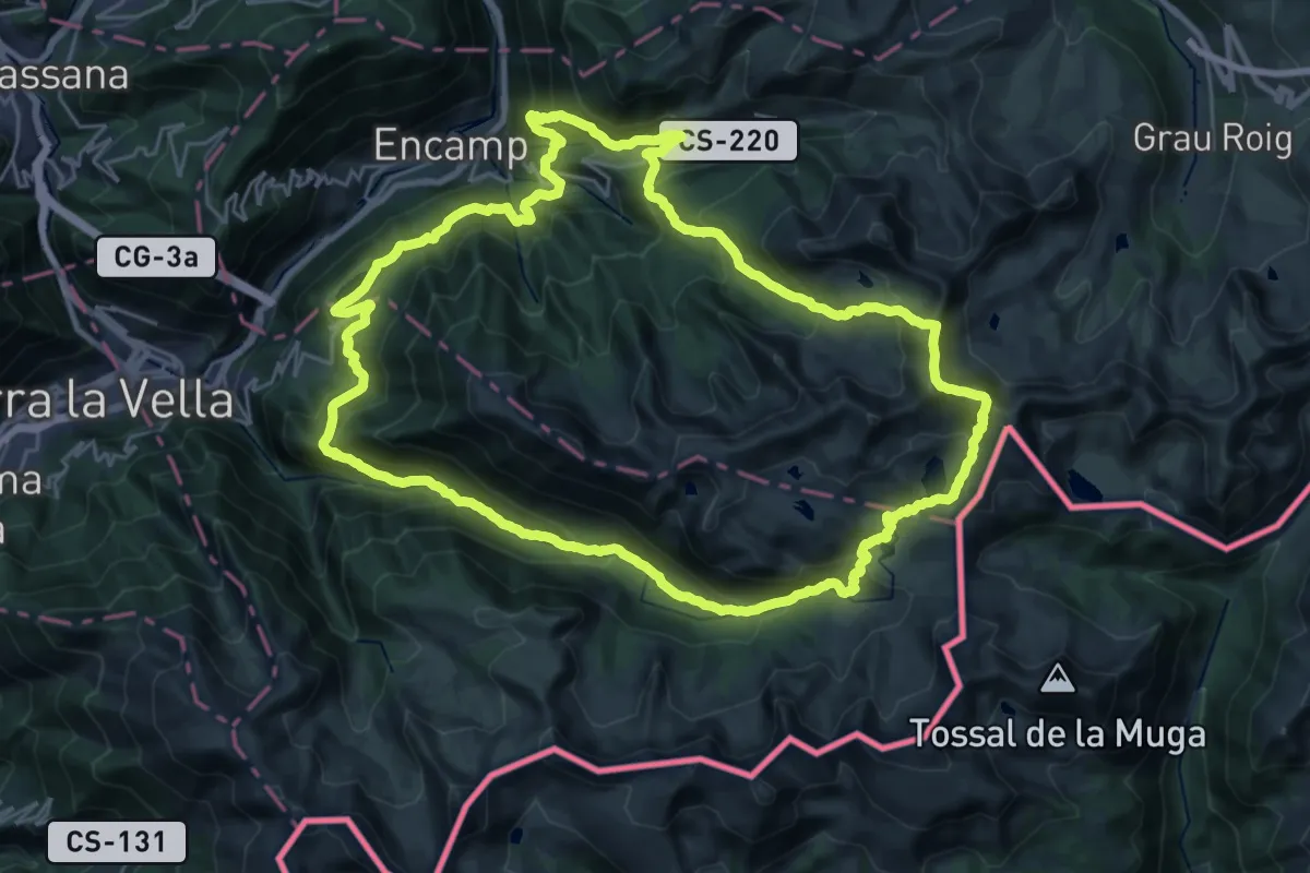
Demanding · Summit
Camí de l'Ossa
28.7 km · ↑ 1871 m · 11 h 13 min · 8 km away
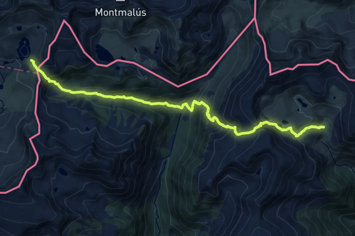
Demanding · Cabin
Senda Pirenaica - E13
18.1 km · ↑ 1423 m · 7 h 21 min · 10 km away
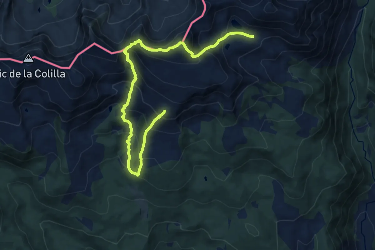
Demanding · Summit
TC231 Refugi del Pradell Tossa Plana de Lles
7.5 km · ↑ 708 m · 3 h 25 min · 11 km away
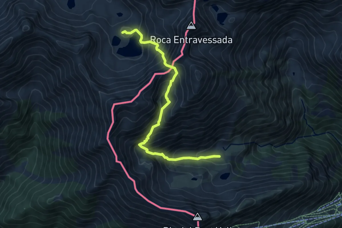
Expert · Cabin
Senda Pirenaica - E15
8.2 km · ↑ 837 m · 3 h 45 min · 11 km away
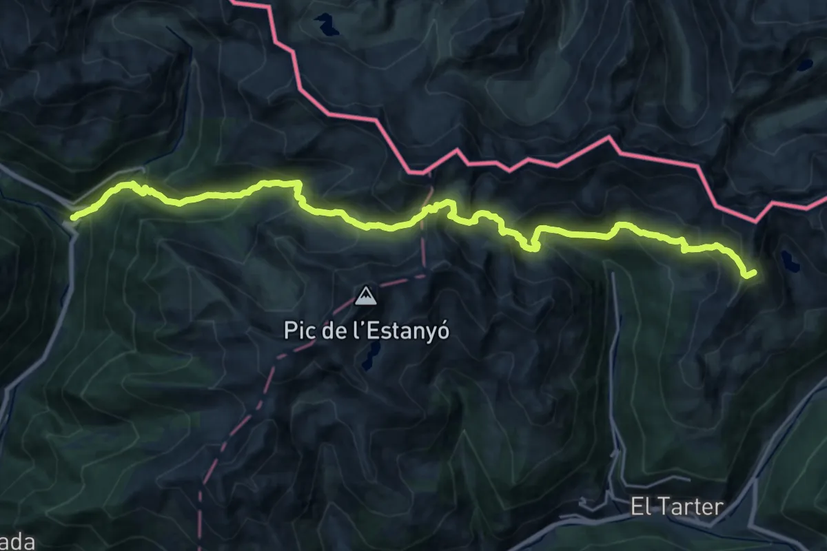
Demanding · Summit
HRP Étape 31
27.1 km · ↑ 2173 m · 11 h 7 min · 12 km away
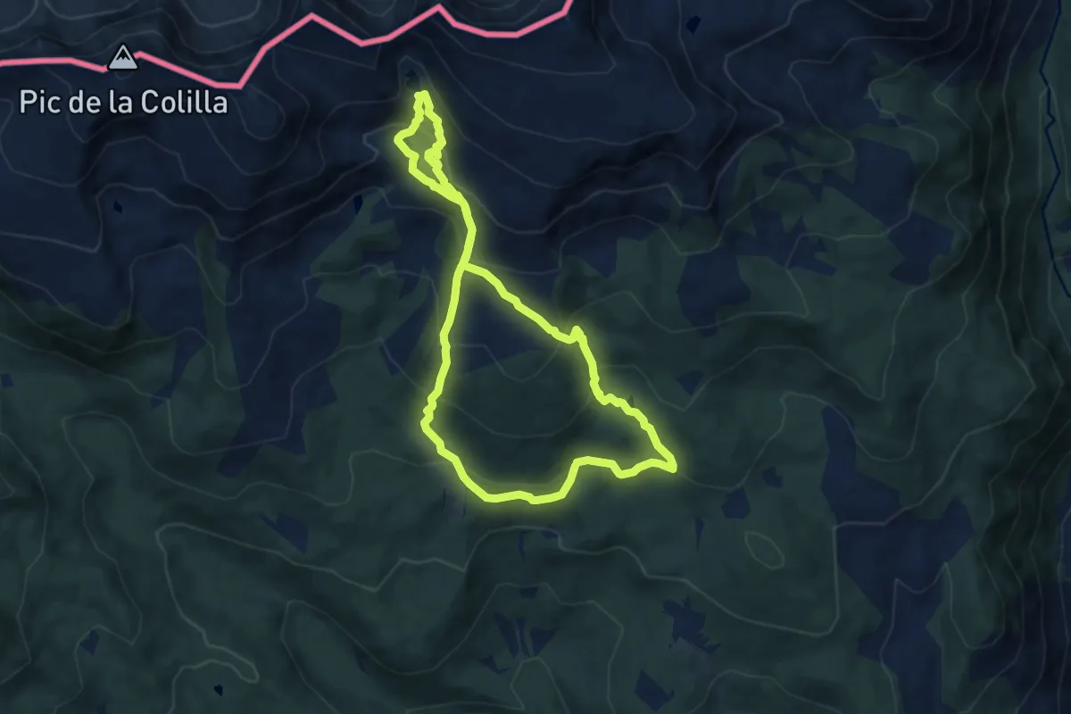
Medium · Trail
TC238 Refugi del Pradell Estanys de Setut Estany de l'Orri
8.7 km · ↑ 551 m · 3 h 22 min · 12 km away
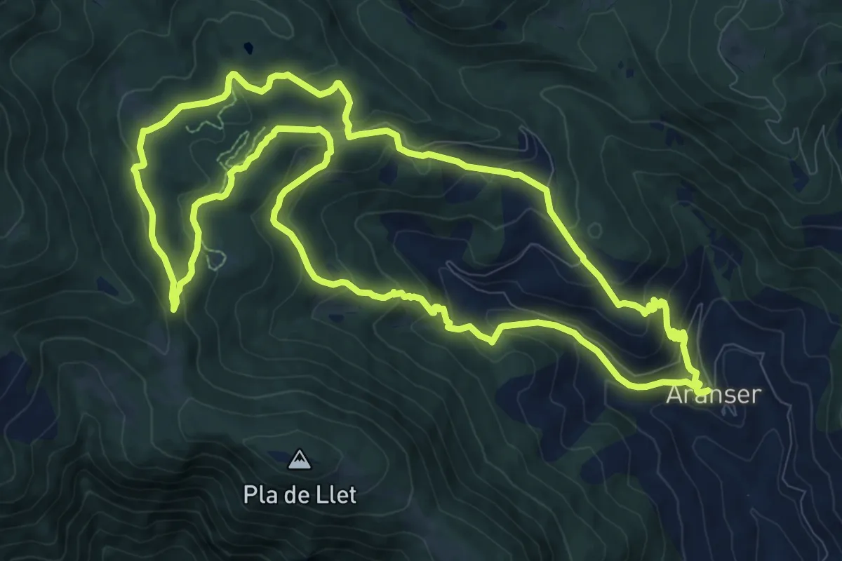
Medium · Trail
TC261 Aransa Mirador del Pla de la Llet
12.2 km · ↑ 579 m · 4 h 18 min · 14 km away
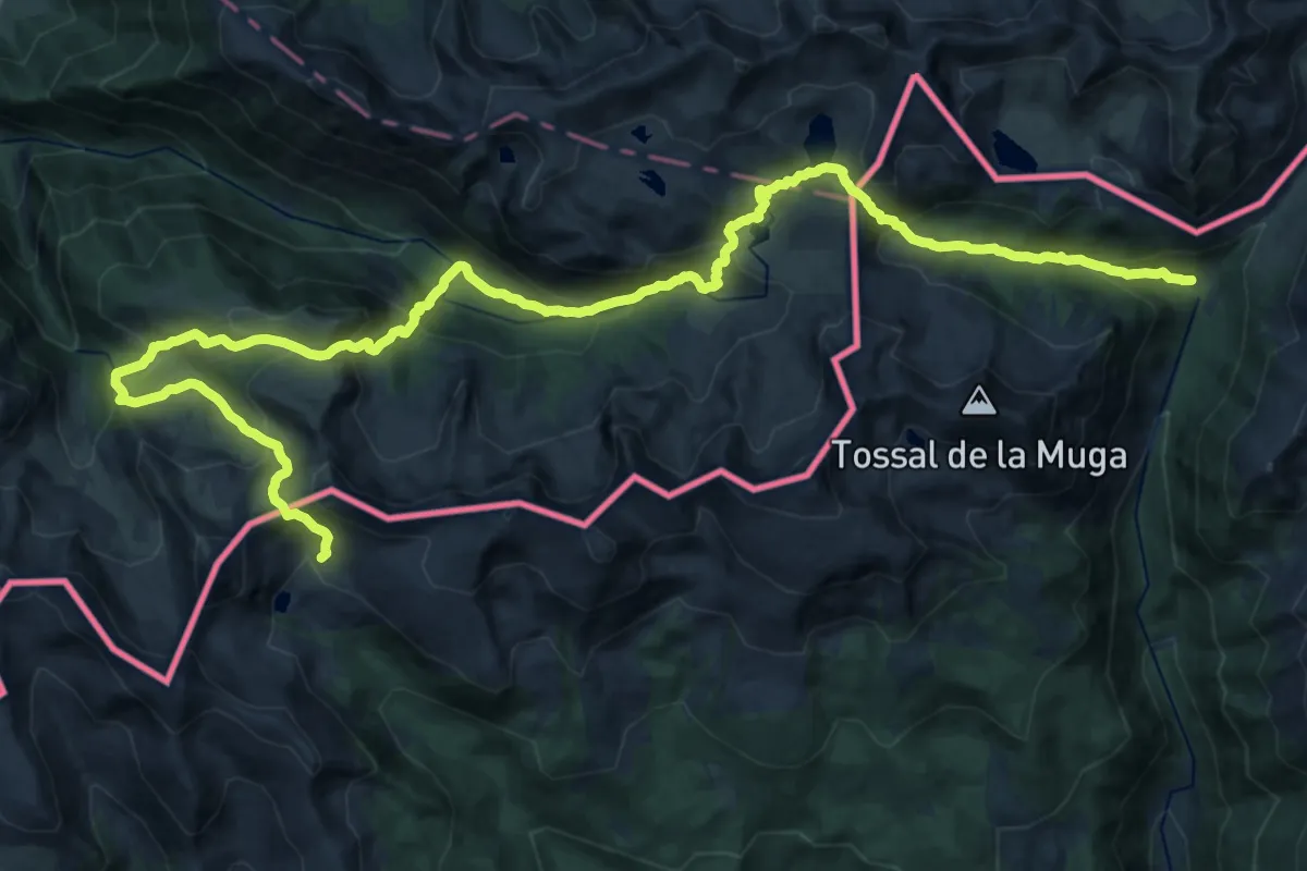
Demanding · Trail
Ruta dels Estanys Amagats
17.1 km · ↑ 1268 m · 6 h 51 min · 14 km away
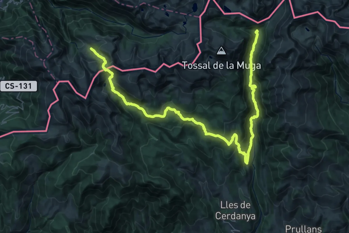
Expert · Trail
Variant Estanys de la Pera
24.9 km · ↑ 1141 m · 8 h 37 min · 14 km away
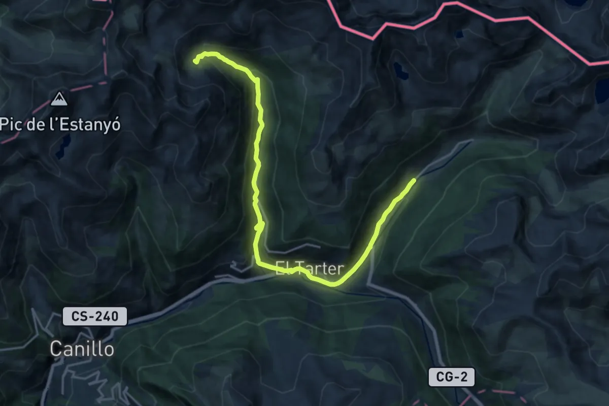
Demanding · Trail
HRP Variante 31.1
18.9 km · ↑ 723 m · 6 h 1 min · 14 km away
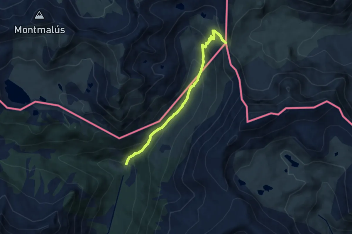
Medium · Trail
Camí dels bons homes - Catalunya
7.0 km · ↑ 414 m · 2 h 32 min · 14 km away
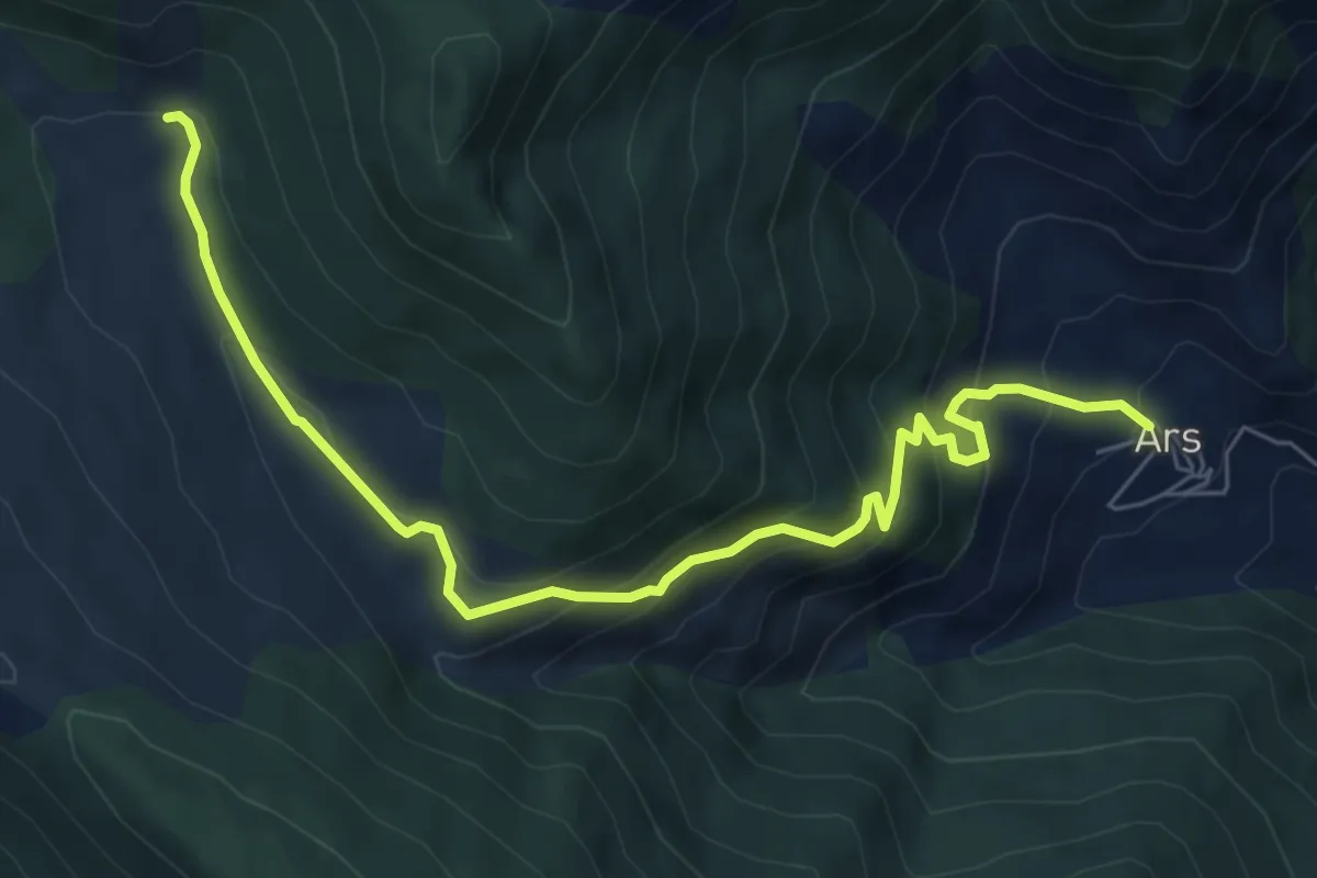
Medium · Cabin
Ars-Refugi Ras de Conques
8.0 km · ↑ 656 m · 3 h 18 min · 14 km away
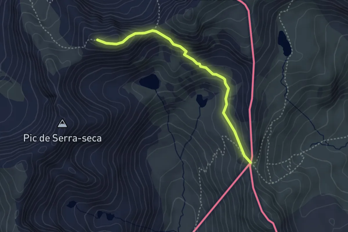
Medium · Trail
GR 7 - Andorra
3.8 km · ↑ 254 m · 1 h 27 min · 14 km away
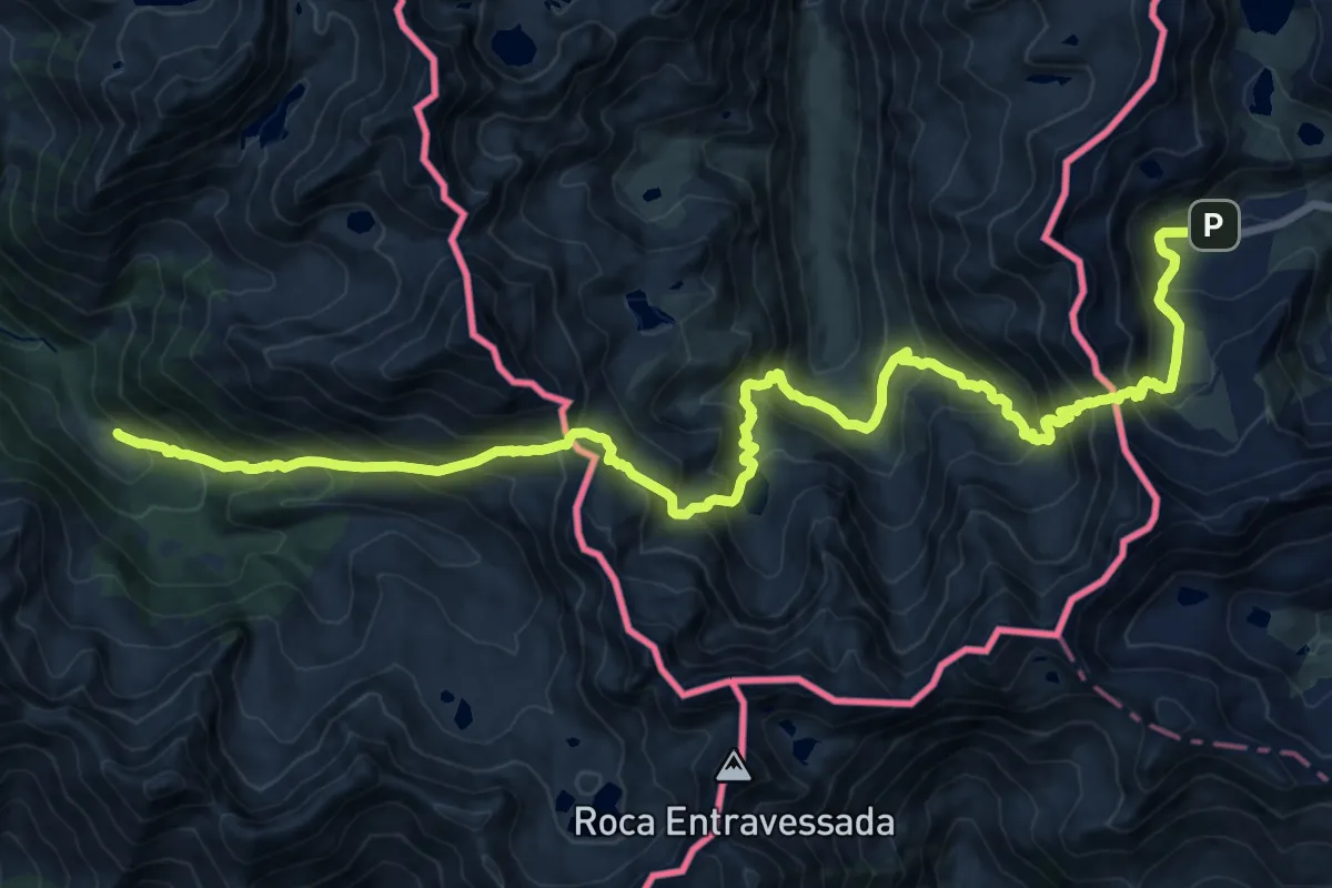
Expert · Trail
HRP Variante 29.1
12.0 km · ↑ 916 m · 5 h 9 min · 14 km away
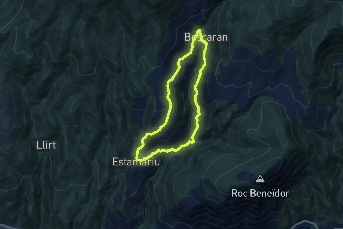
Medium · Trail
D'Estamariu a Bescaran
8.7 km · ↑ 478 m · 3 h 12 min · 15 km away
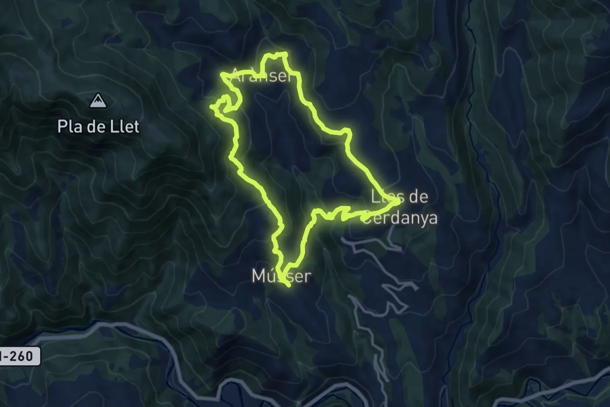
Medium · Trail
TC201 Músser Aransa Lles de Cerdanya
13.1 km · ↑ 598 m · 4 h 34 min · 15 km away
Demanding · Cabin
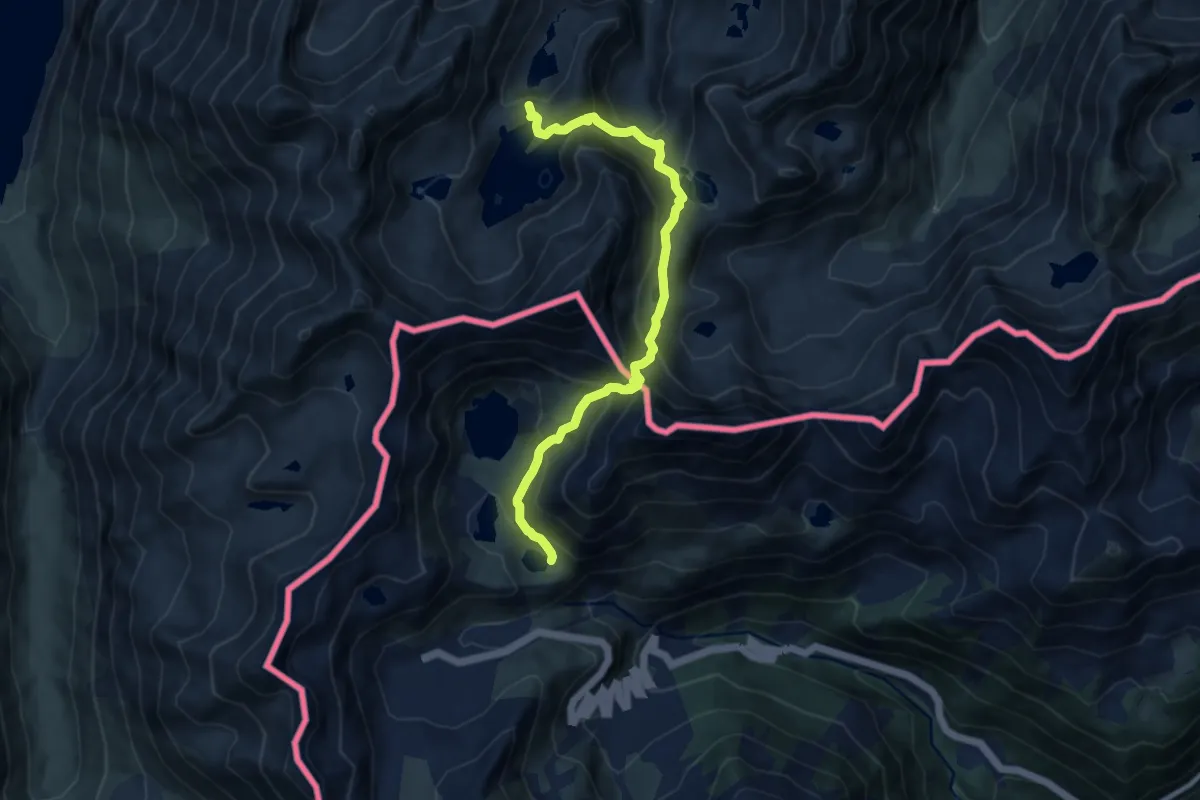
HRP Étape 30
9.8 km · ↑ 857 m · 4 h 11 min · 15 km away