Trails in Argentina
62 hiking trails, each with its route, climb, walking time and grade.
Near a town
All trails, page 1 of 2
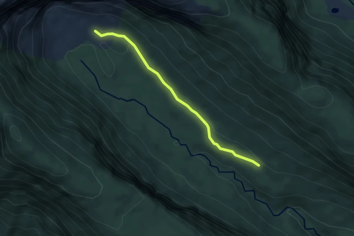
Easy · Trail
Castaño Overa
3.9 km · ↑ 90 m · 1 h 7 min
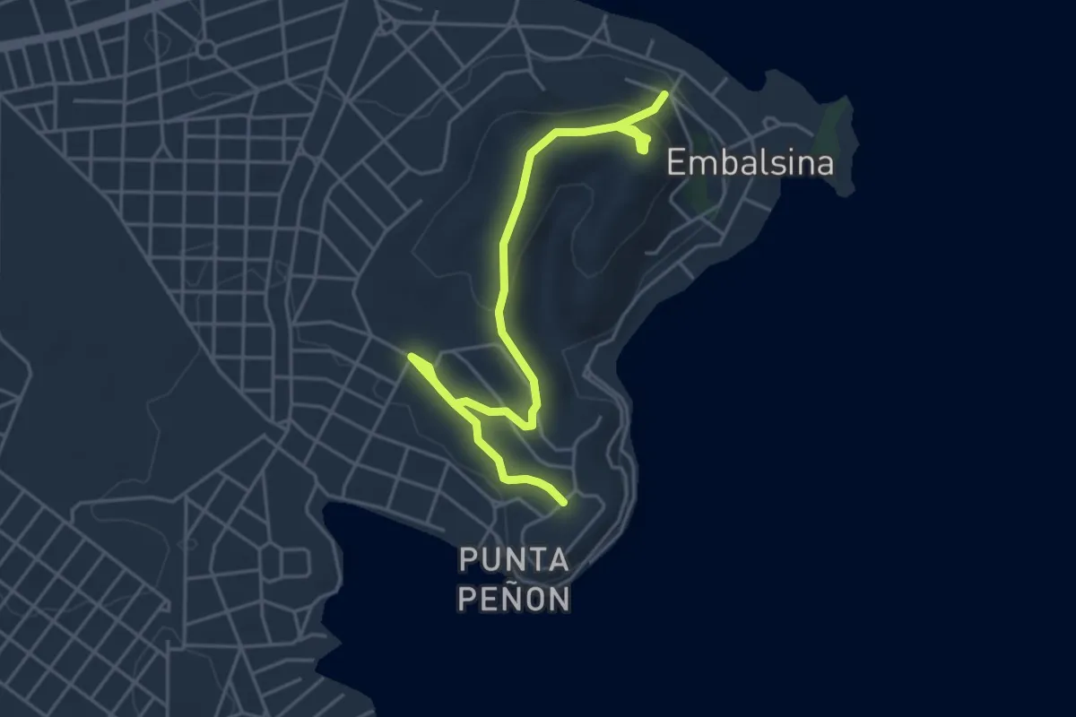
Easy · Trail
Cerro 2011
6.2 km · ↑ 211 m · 1 h 55 min
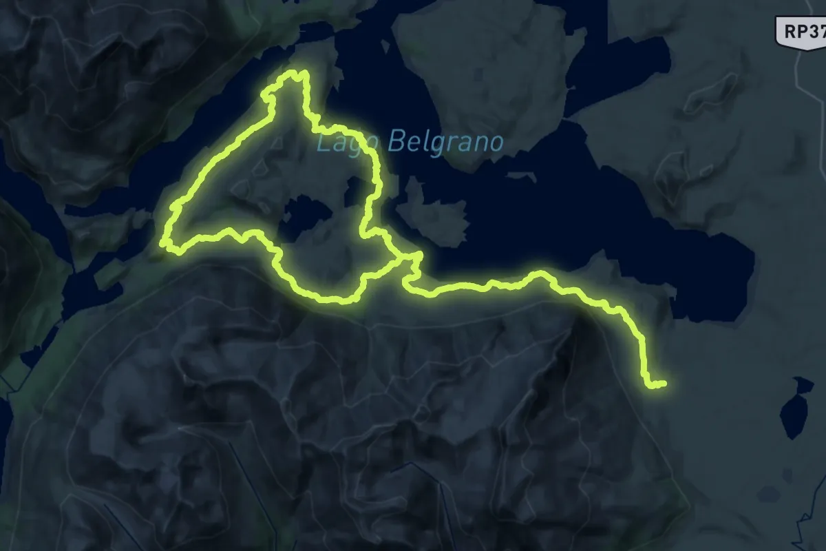
Demanding · Trail
Circuito Azara
38.1 km · ↑ 698 m · 11 h 4 min
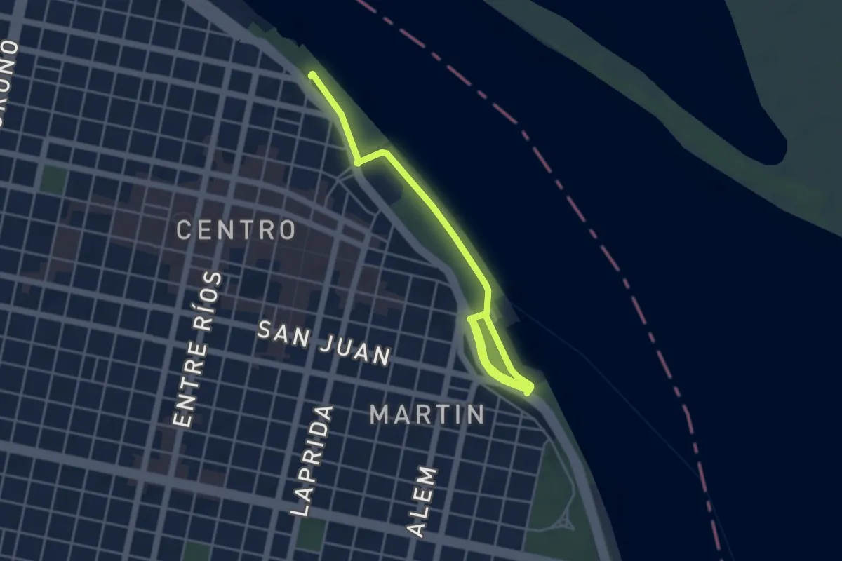
Easy · Trail
Circuito del Puerto
6.4 km · ↑ 62 m · 1 h 39 min
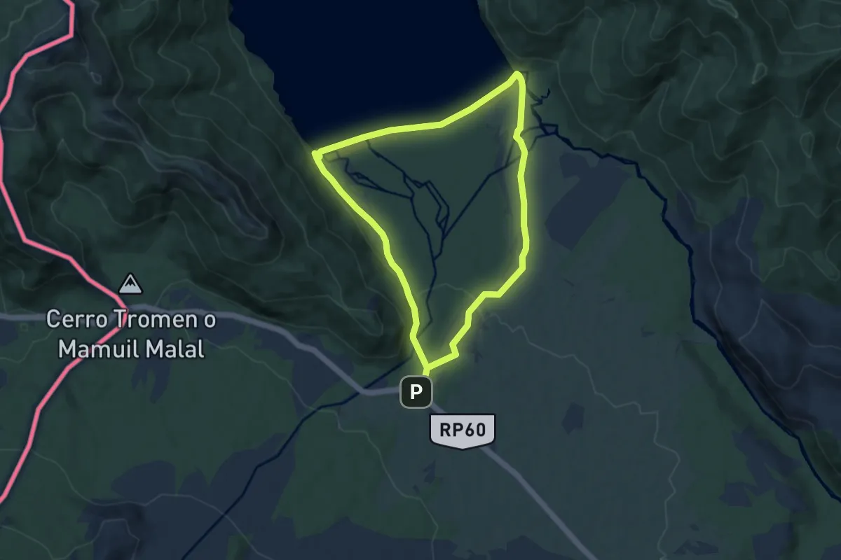
Medium · Trail
Circuito Malleo
15.9 km · ↑ 233 m · 4 h 16 min
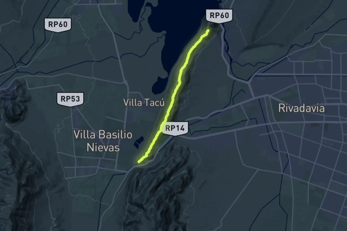
Expert · Summit
Circuito Sierra Chica de Zonda
21.1 km · ↑ 1184 m · 7 h 32 min
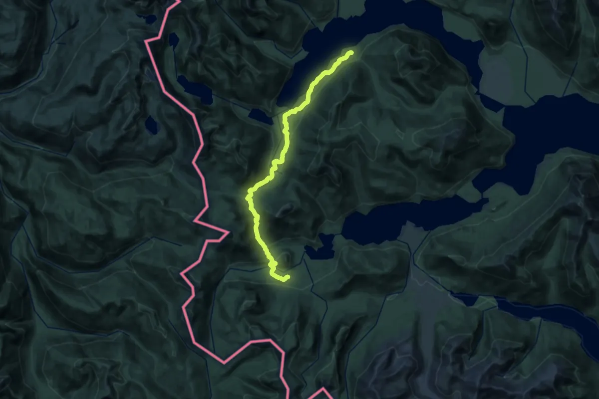
Medium · Trail
Etapa 10: Aila – Termas de Epulafquen
16.2 km · ↑ 535 m · 5 h 13 min
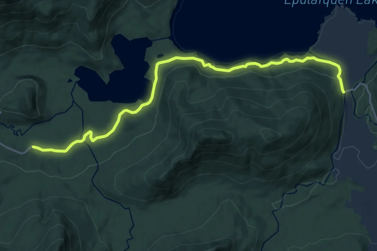
Medium · Trail
Etapa 11: Termas de Epulaufquen – Laguna Verde
15.8 km · ↑ 397 m · 4 h 35 min
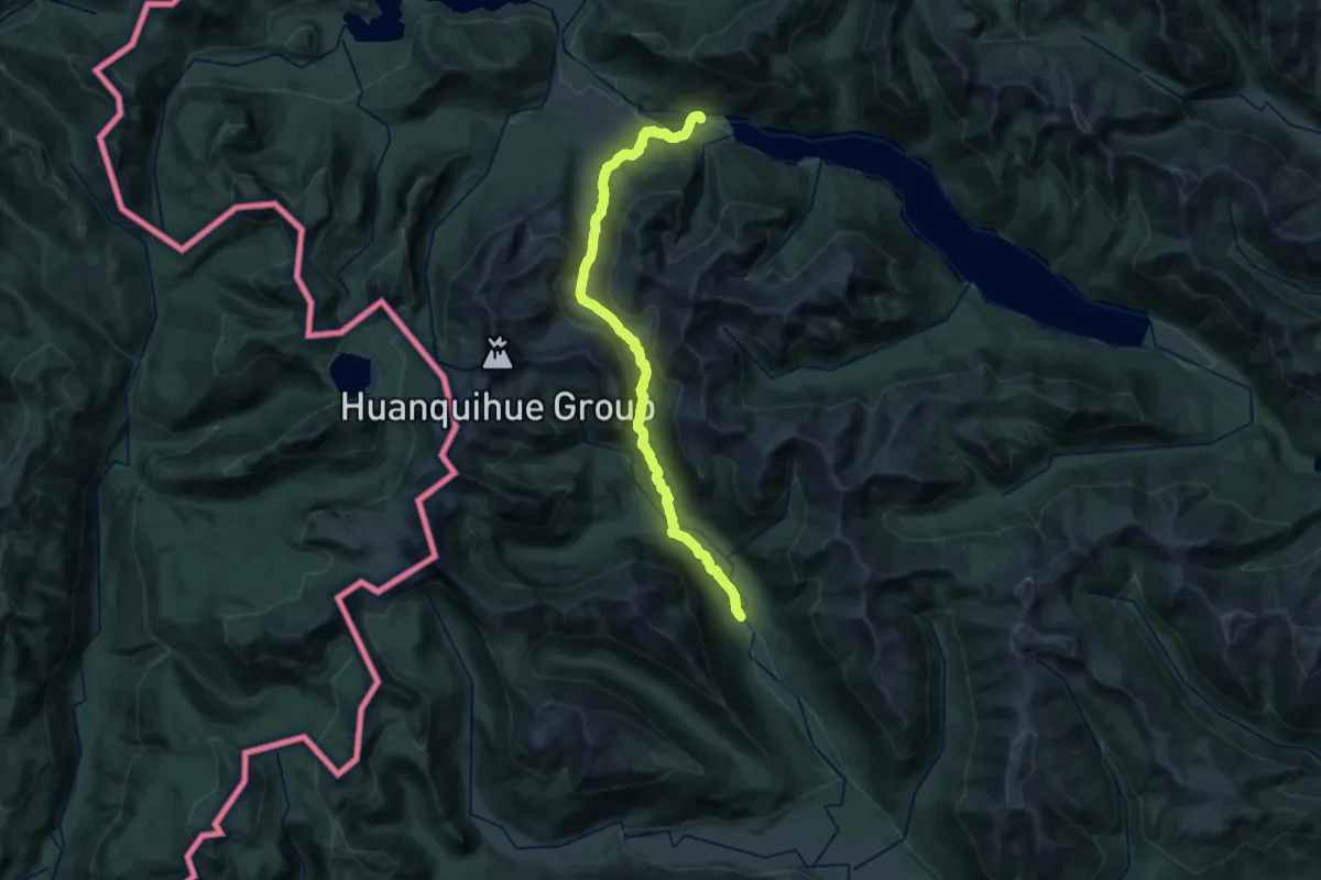
Medium · Trail
Etapa 12: Laguna Verde - Rincón de Los Pinos
16.4 km · ↑ 548 m · 5 h 17 min
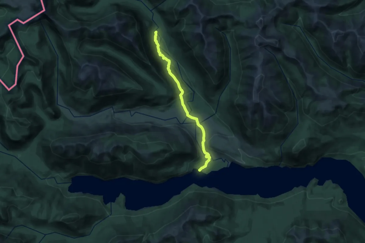
Demanding · Cabin
Etapa 13: Rincón de Los Pinos – Auquinco
23.1 km · ↑ 436 m · 6 h 24 min
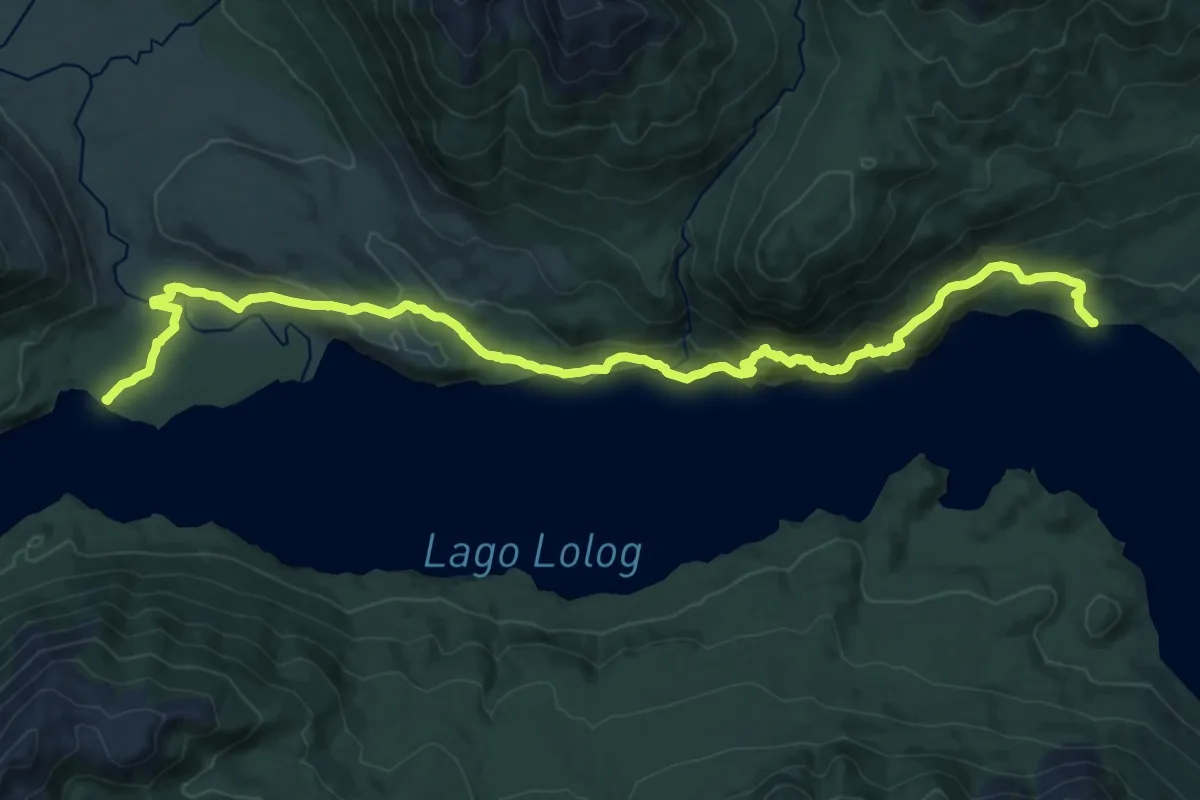
Demanding · Cabin
Etapa 14: Auquinco – Puerto Arturo
24.2 km · ↑ 1018 m · 7 h 55 min
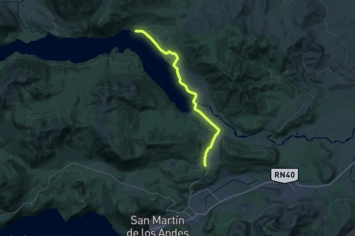
Demanding · Trail
Etapa 15: Puerto Arturo – Laguna Rosales
30.1 km · ↑ 306 m · 7 h 46 min
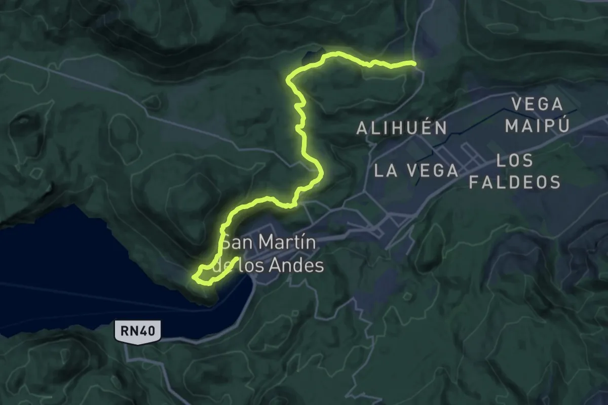
Medium · Trail
Etapa 16: Laguna Rosales - San Martín de Los Andes
13.5 km · ↑ 277 m · 4 h 7 min
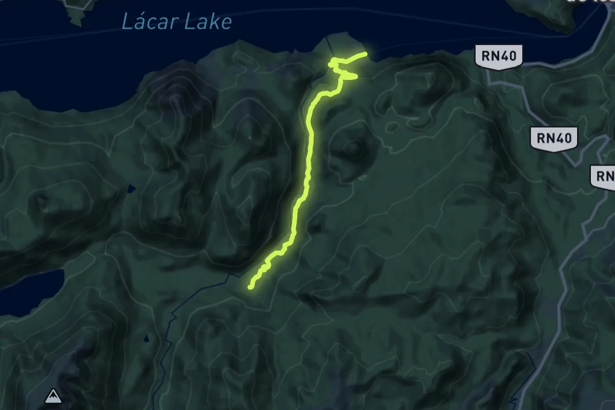
Demanding · Trail
Etapa 17: Quila Quina – Puerto de Casanova
19.5 km · ↑ 583 m · 5 h 53 min
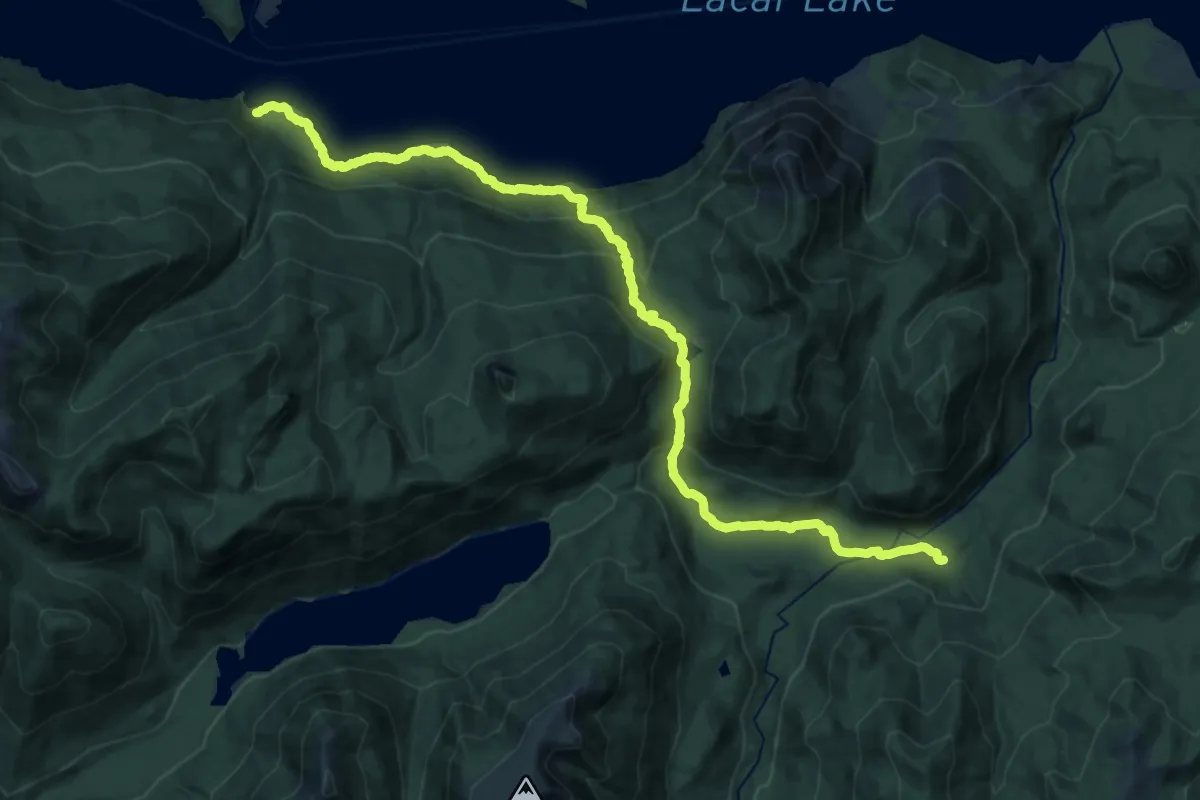
Demanding · Trail
Etapa 18: Puesto de Casanova – Ruca Ñire
14.1 km · ↑ 956 m · 5 h 29 min
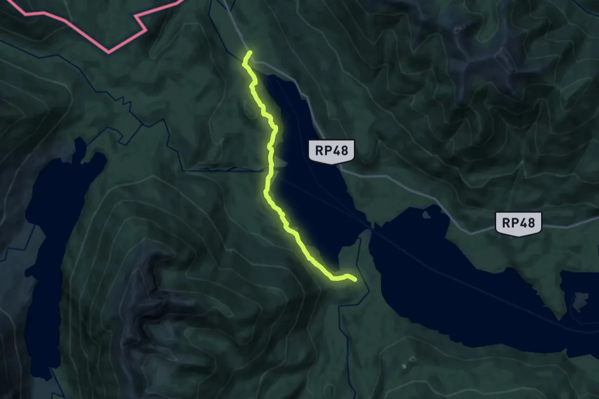
Medium · Trail
Etapa 19: Ruca Ñire – Hua Hum
13.7 km · ↑ 452 m · 4 h 12 min
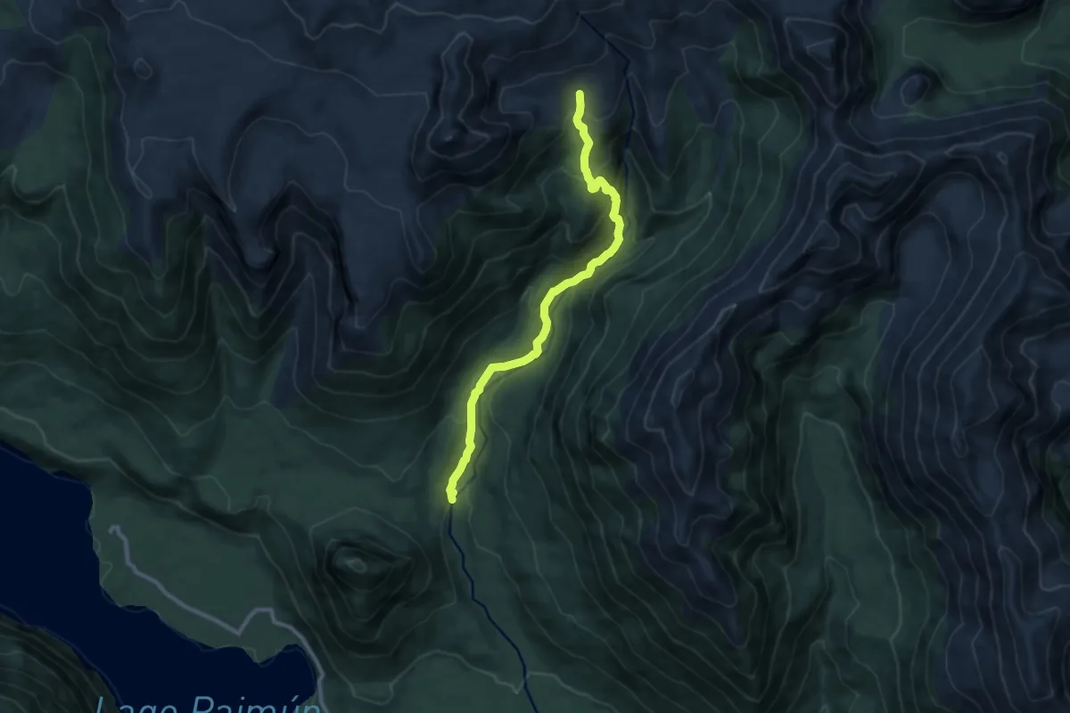
Medium · Trail
Etapa 8: Puerto Canoa – Cara sur volcán Lanín
9.9 km · ↑ 658 m · 3 h 45 min
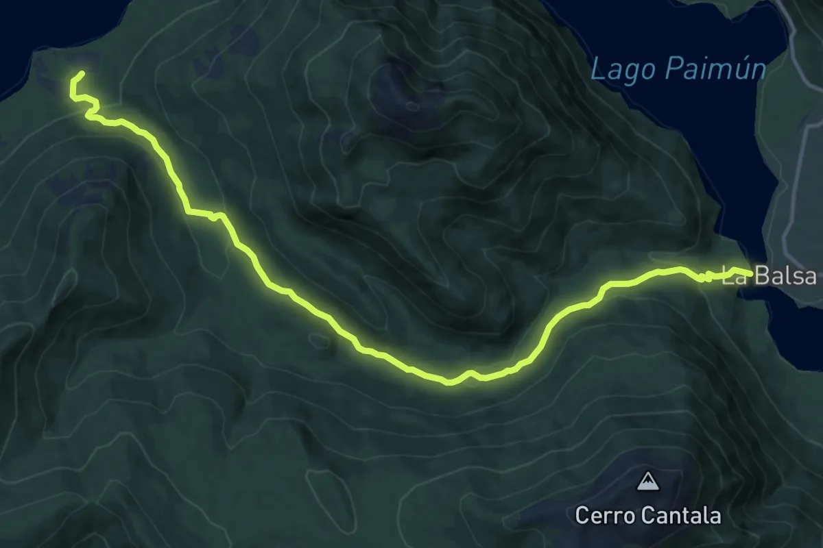
Medium · Trail
Etapa 9: Puerto Canoa – Aila
16.8 km · ↑ 555 m · 5 h 10 min
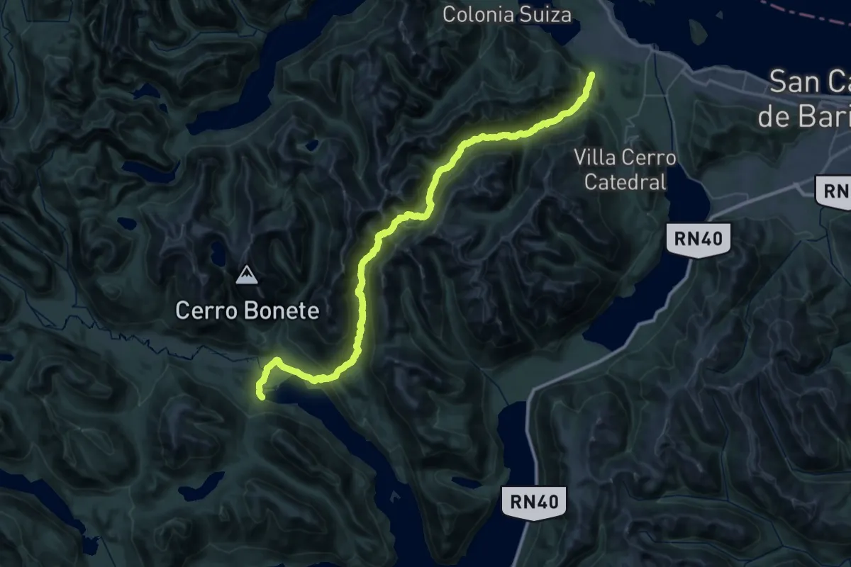
Demanding · Trail
Huella Andina – Rio Negro Norte
30.7 km · ↑ 1205 m · 10 h 17 min
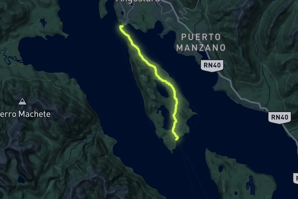
Demanding · Trail
Huella Andina Tramo 7 Etapa 23
21.2 km · ↑ 699 m · 6 h 31 min
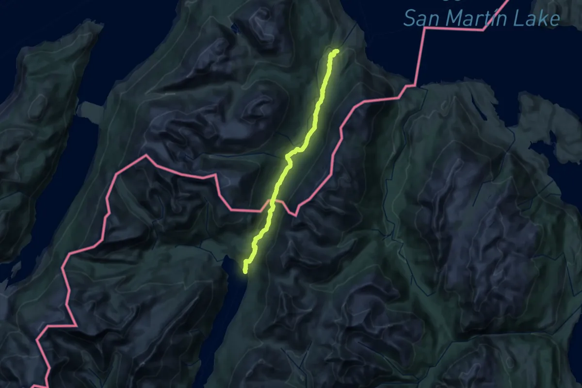
Medium · Trail
Lago del Desierto - Candelario Mancilla
16.6 km · ↑ 358 m · 4 h 56 min
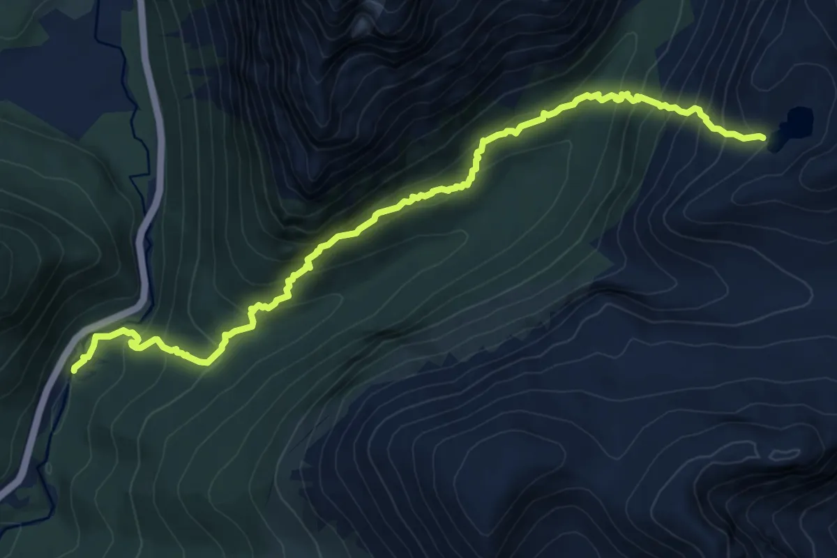
Demanding · Trail
laguna de los 5 hermanos sandero
9.7 km · ↑ 837 m · 4 h 6 min
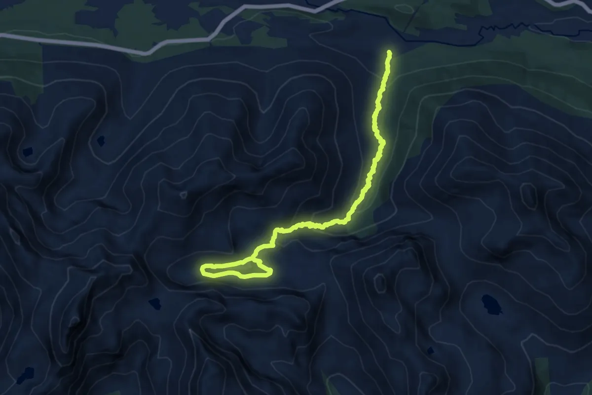
Medium · Trail
Laguna Submarino sandero
13.5 km · ↑ 481 m · 4 h 13 min
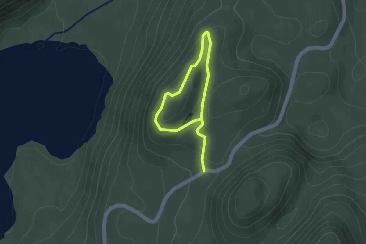
Easy · Trail
Mirador del Lago Verde
1.7 km · ↑ 64 m · 34 min
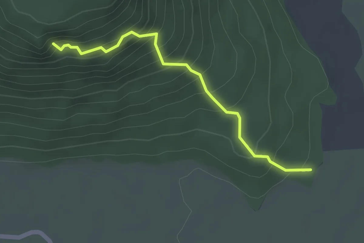
Medium · Trail
Mirador del Valle
3.2 km · ↑ 334 m · 1 h 29 min
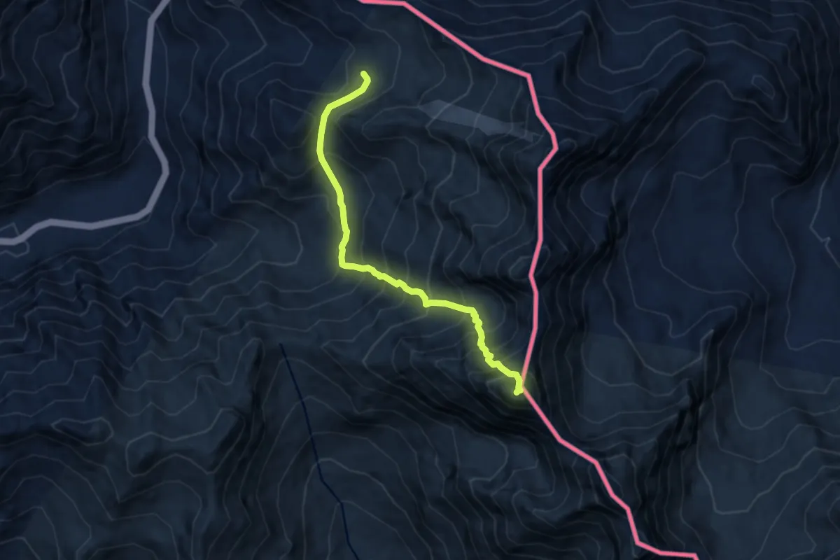
Demanding · Summit
Ruta Cerro Navarro Norte
8.9 km · ↑ 1243 m · 4 h 48 min
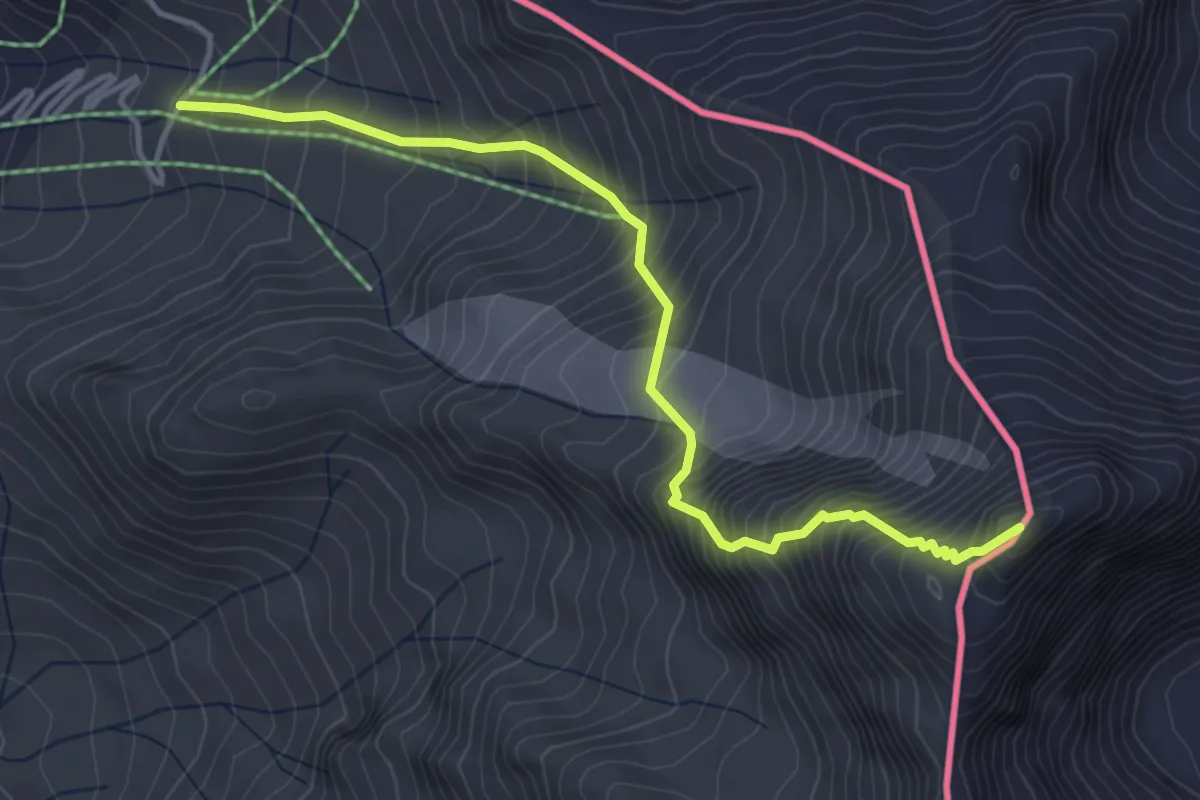
Demanding · Summit
Ruta Cerro Santa Elena
5.0 km · ↑ 809 m · 2 h 56 min
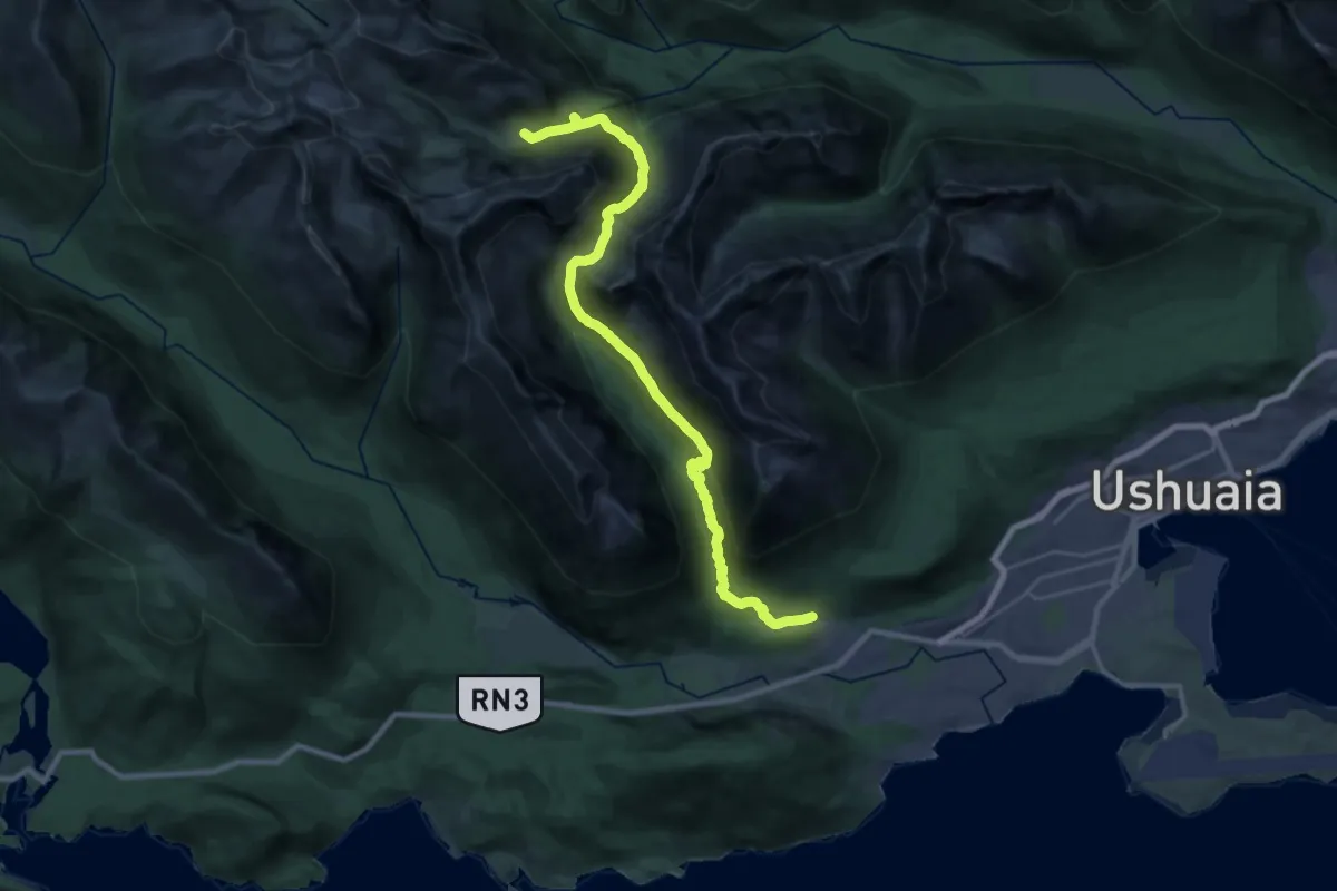
Demanding · Trail
sandero laguna del caminante
12.2 km · ↑ 954 m · 4 h 52 min
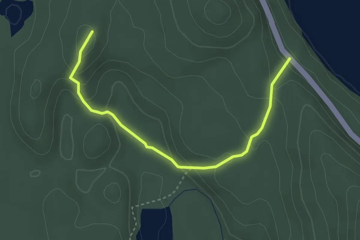
Easy · Trail
Senda Coihue el Abuelo
3.7 km · ↑ 222 m · 1 h 21 min
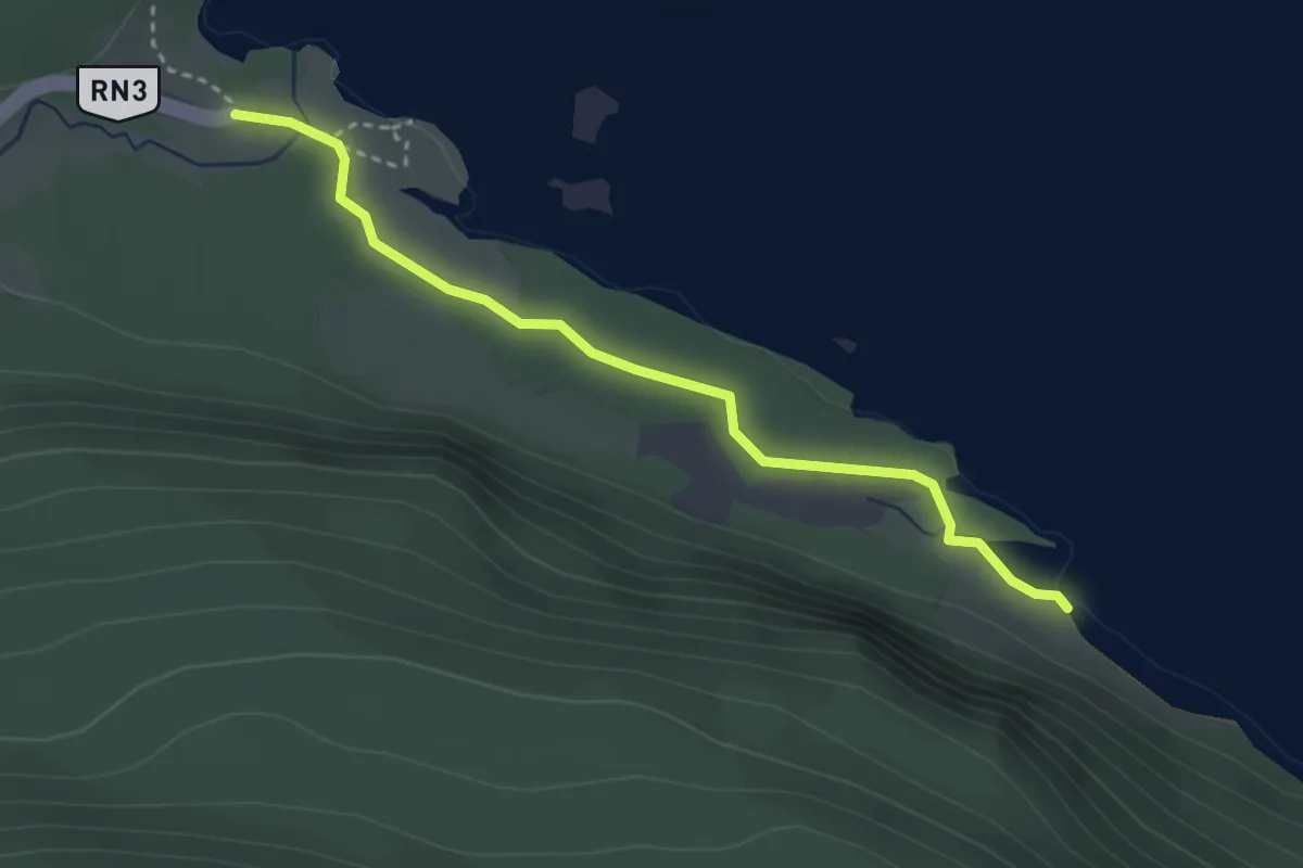
Easy · Trail
Senda de la baliza
2.7 km · ↑ 22 m · 41 min
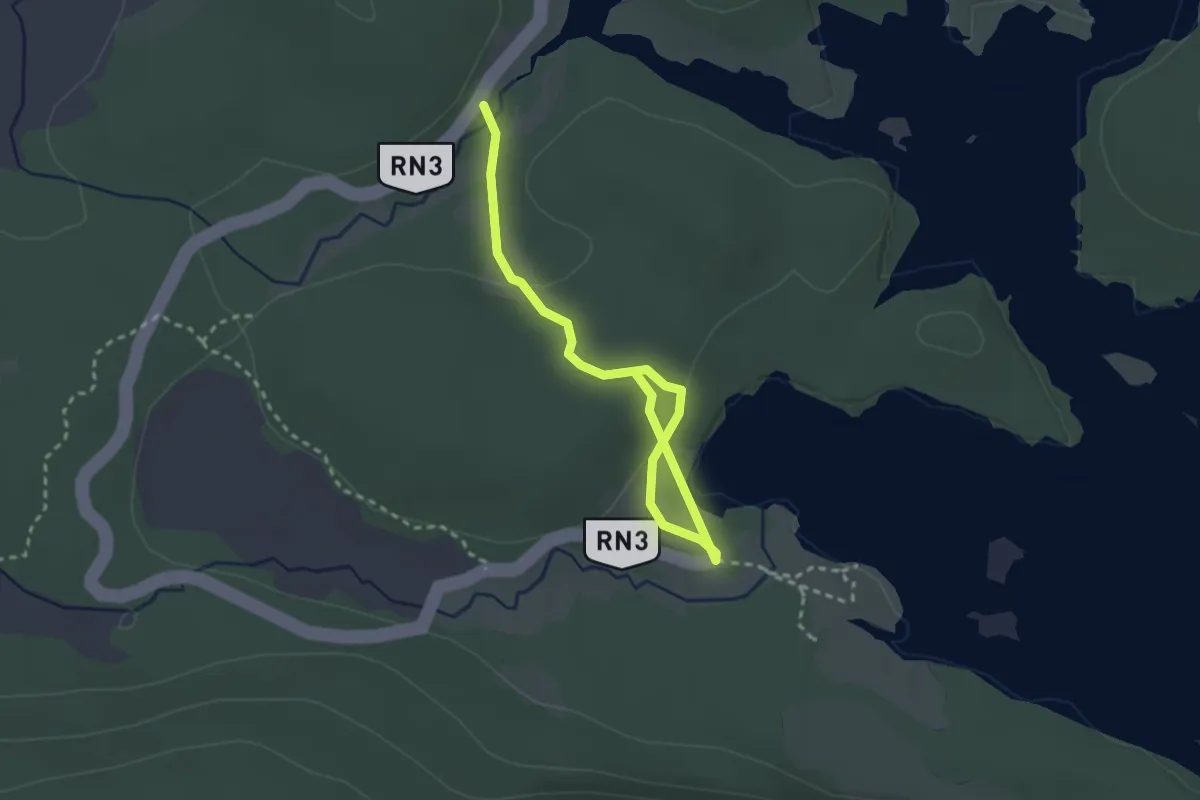
Easy · Trail
Senda del Mirador
2.6 km · ↑ 78 m · 47 min
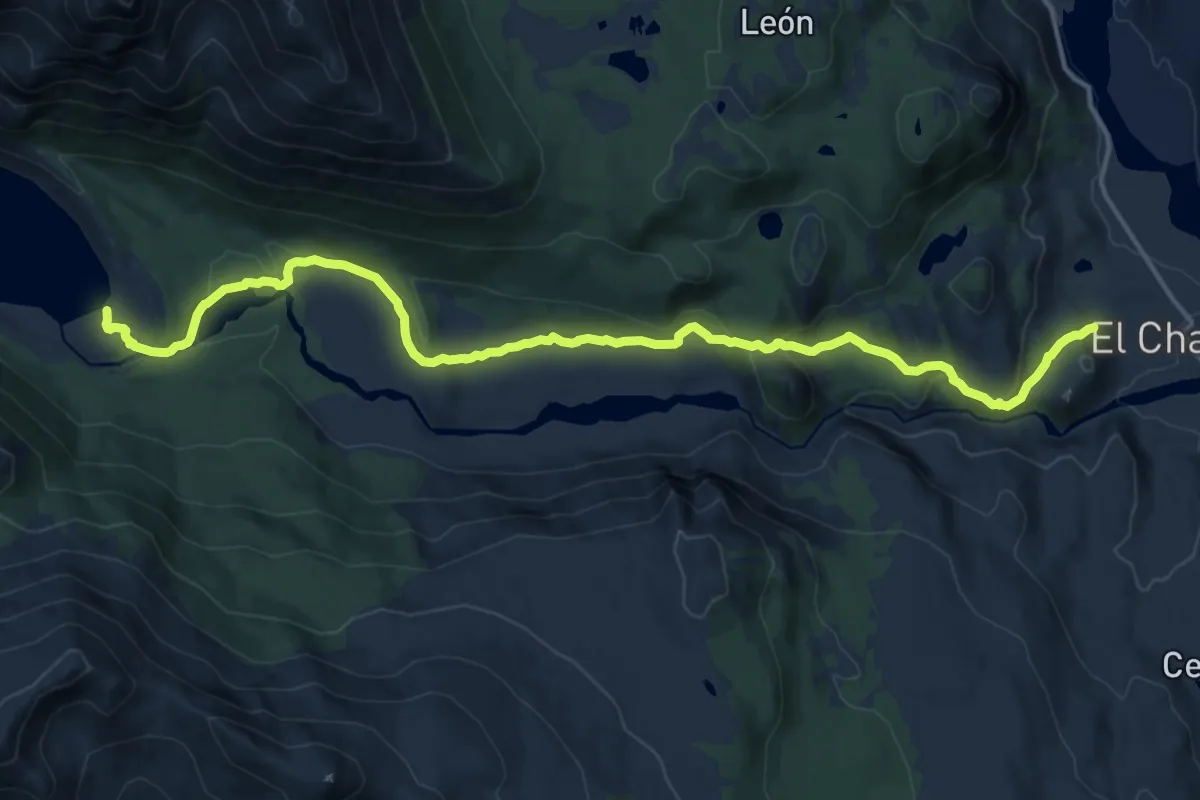
Medium · Trail
Senda Laguna Torre
17.2 km · ↑ 430 m · 4 h 59 min
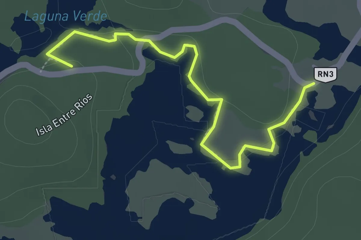
Easy · Trail
Senda Laguna Verde
2.7 km · ↑ 17 m · 40 min
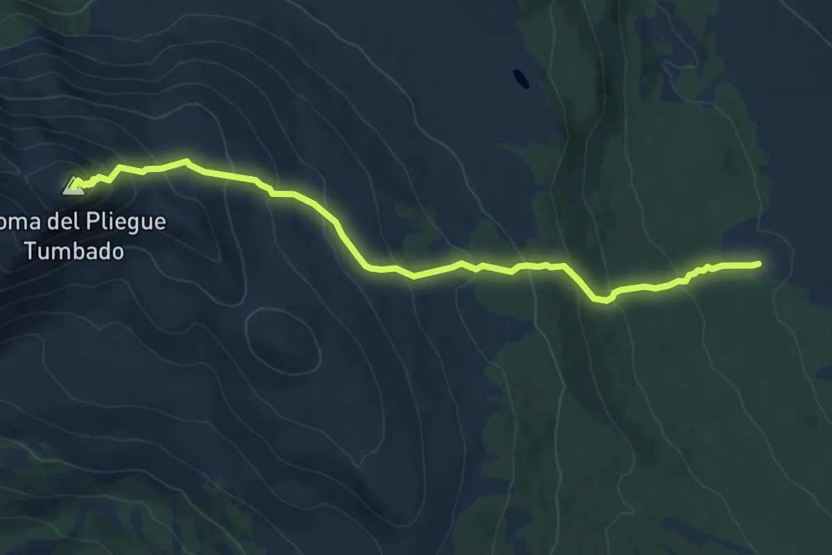
Demanding · Summit
Senda Loma del Pliegue Tumbado
9.2 km · ↑ 689 m · 3 h 40 min
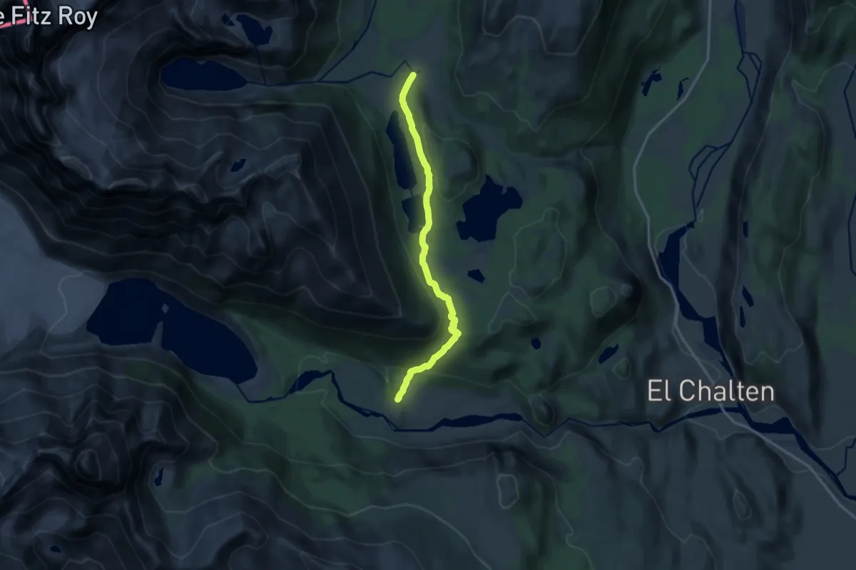
Medium · Trail
Senda Madre e Hija
12.8 km · ↑ 330 m · 3 h 44 min
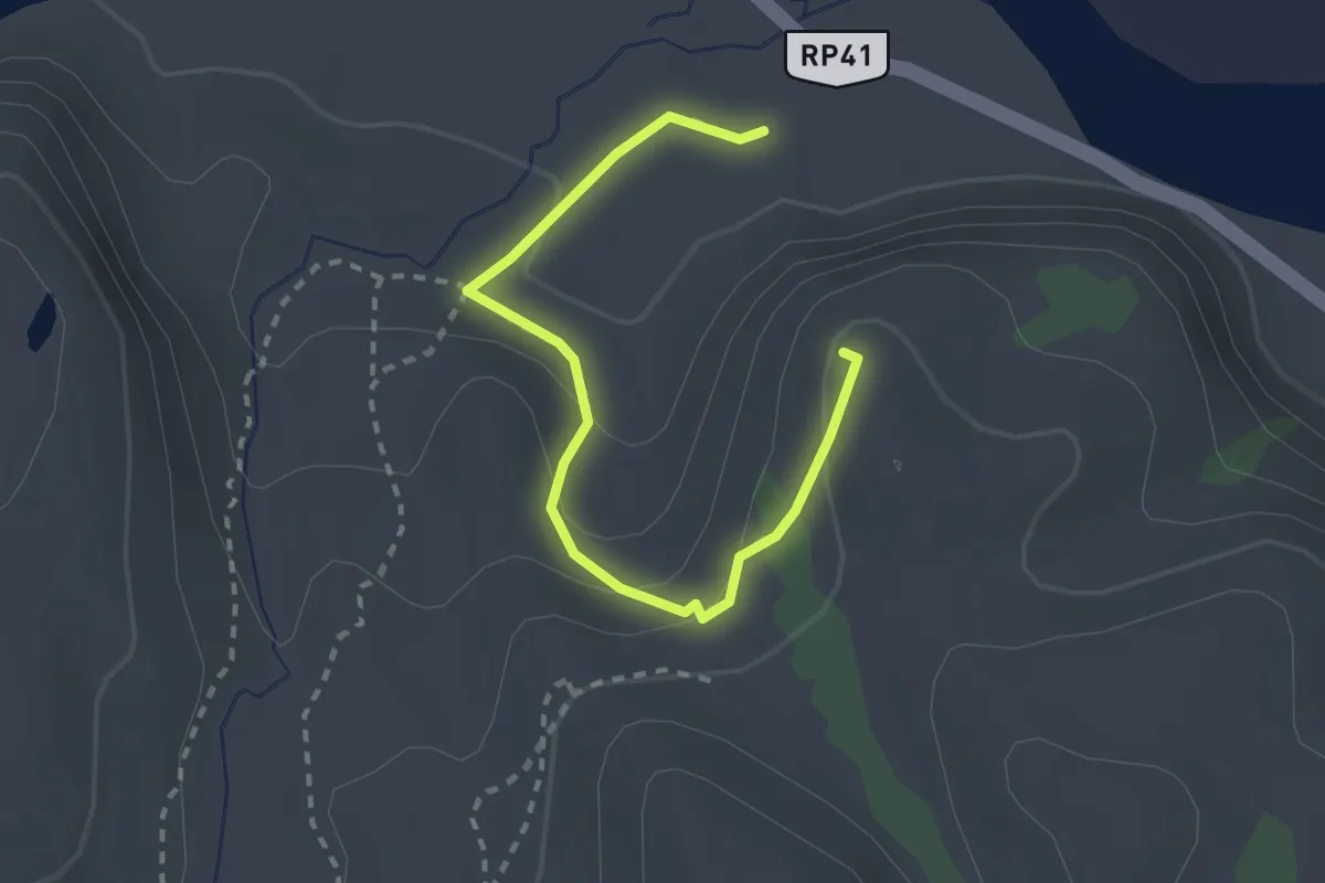
Easy · Trail
Senda Mirador Condores
2.5 km · ↑ 114 m · 51 min
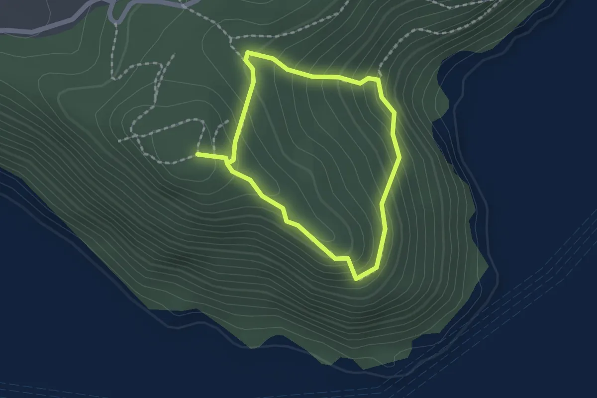
Easy · Trail
Senda Miradores
1.5 km · ↑ 133 m · 40 min
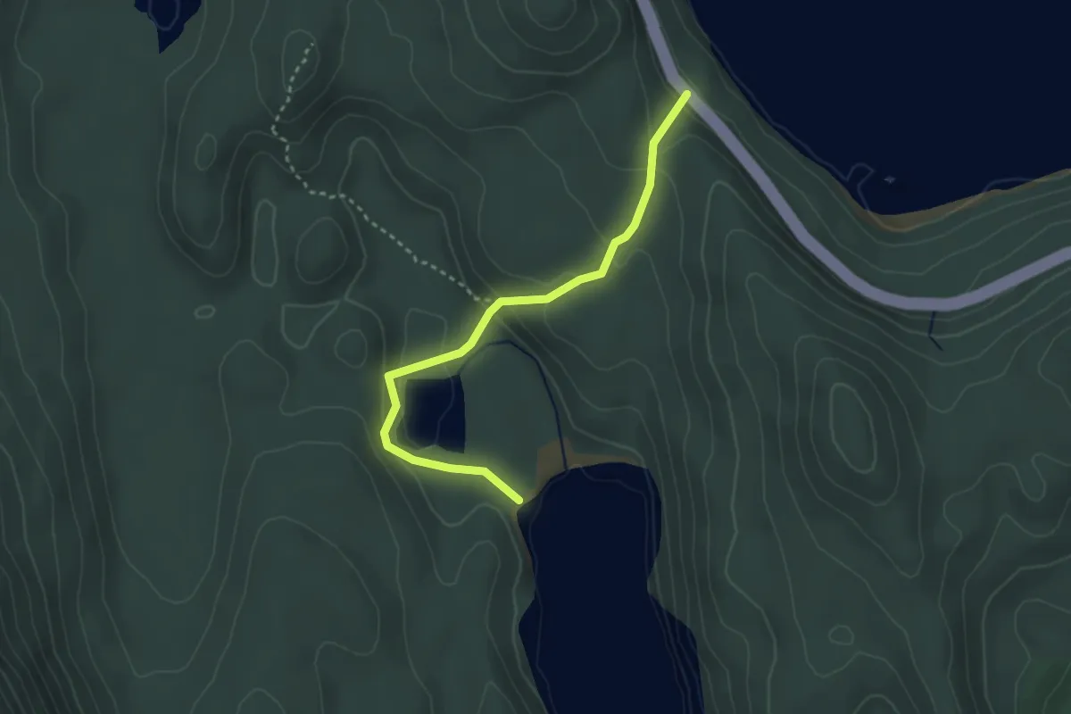
Easy · Trail
Senda Última Esperanza
3.4 km · ↑ 167 m · 1 h 10 min
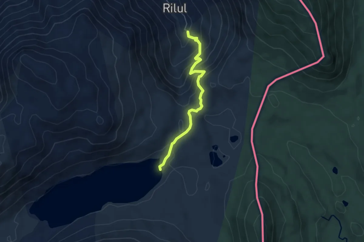
Medium · Trail
Sendero a la Laguna Hualalafquén
5.0 km · ↑ 326 m · 1 h 54 min
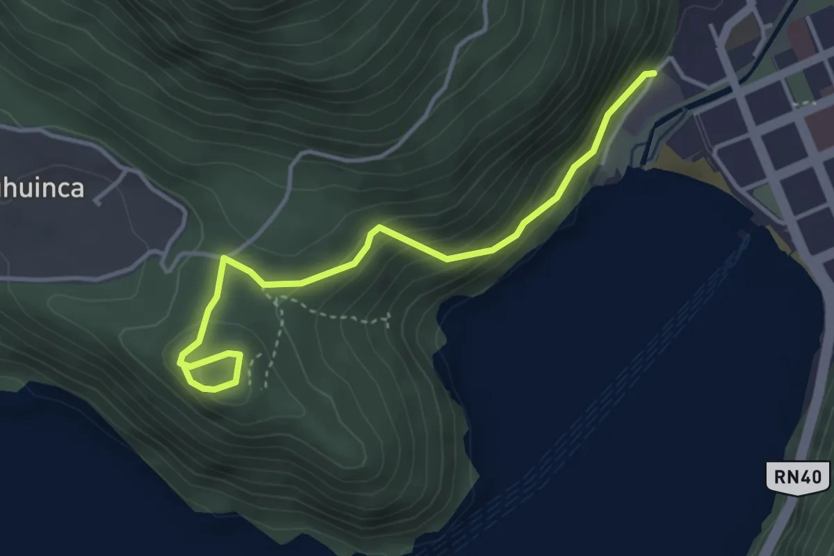
Easy · Trail
Sendero al Mirador Bandurrias
4.3 km · ↑ 229 m · 1 h 30 min
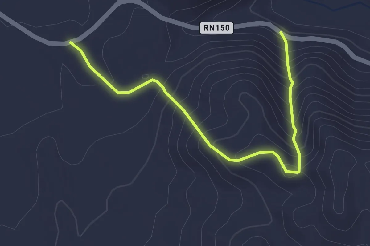
Expert · Trail
Sendero Bisontin
4.1 km · ↑ 449 m · 1 h 57 min
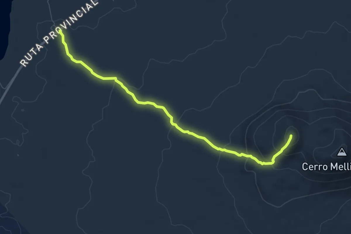
Medium · Summit
Sendero Cerro Mellizo Sur
8.8 km · ↑ 371 m · 2 h 53 min
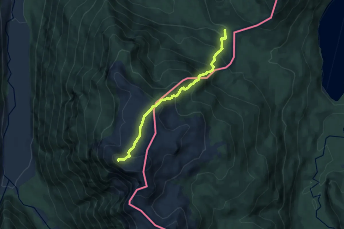
Expert · Trail
Sendero Cerro Riggi
7.7 km · ↑ 759 m · 3 h 27 min
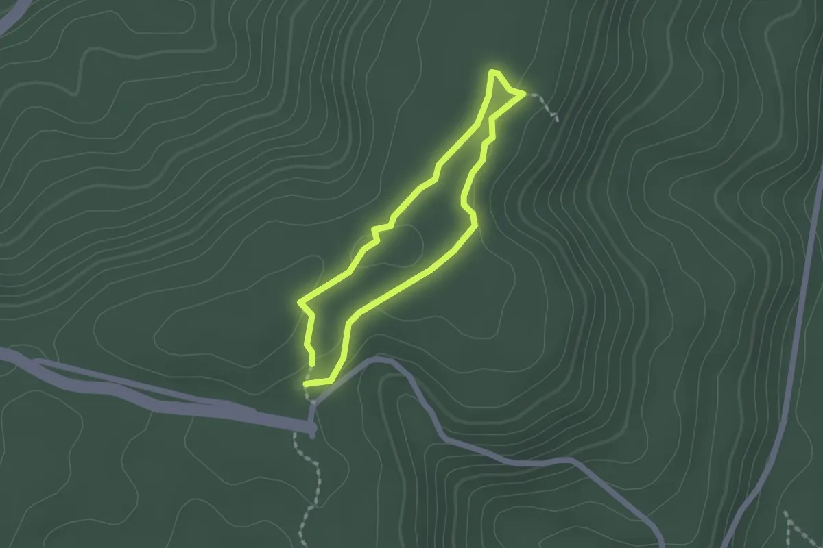
Easy · Trail
Sendero Chachí
1.7 km · ↑ 15 m · 28 min
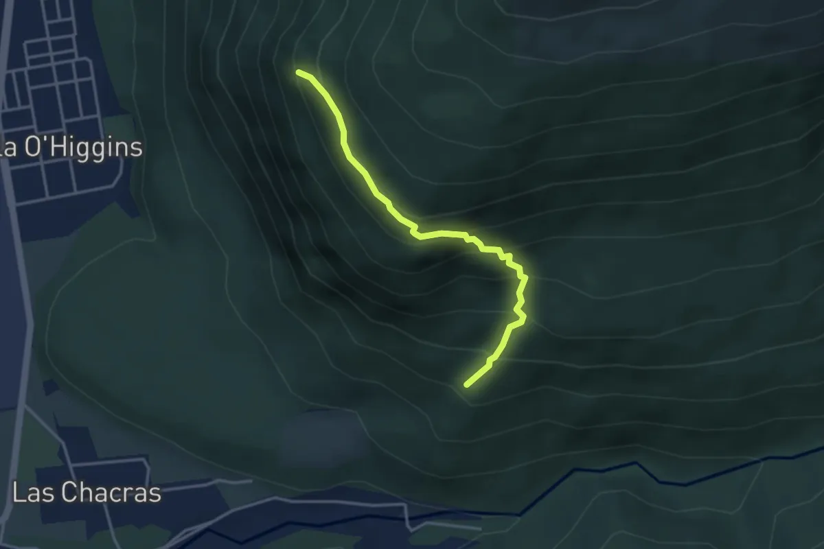
Medium · Trail
Sendero Condores
3.1 km · ↑ 353 m · 1 h 30 min
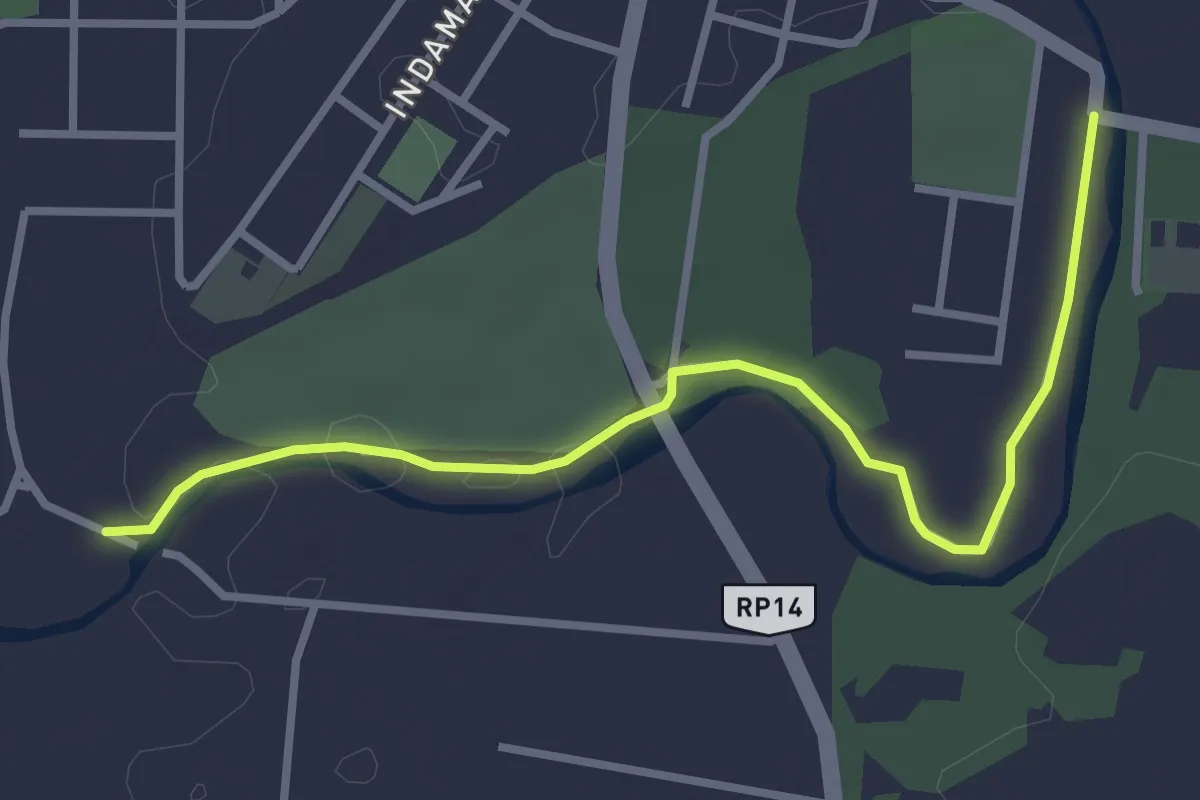
Easy · Trail
Sendero de La Juntura
4.2 km · ↑ 30 m · 1 h 3 min
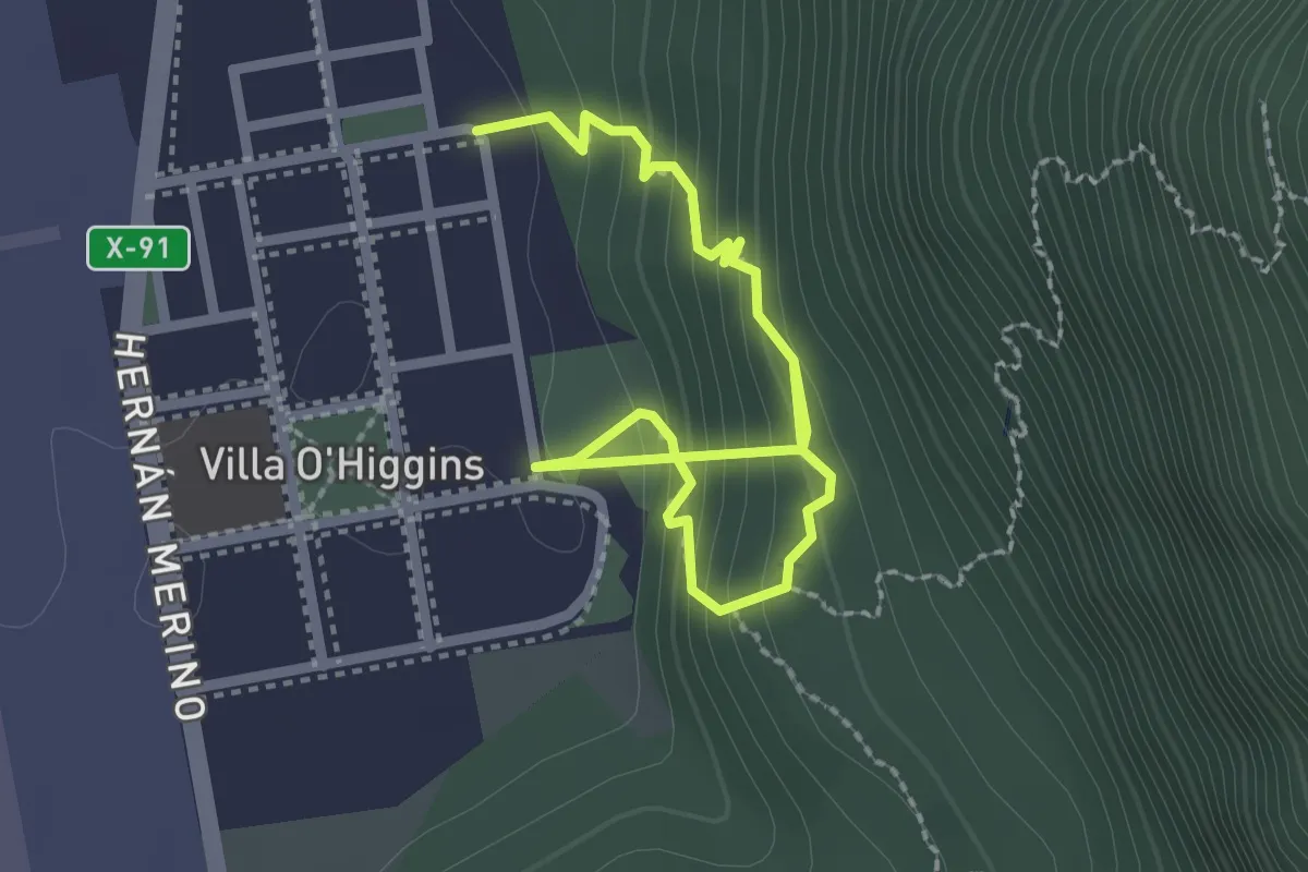
Easy · Trail
Sendero de Miradores
2.9 km · ↑ 269 m · 1 h 16 min
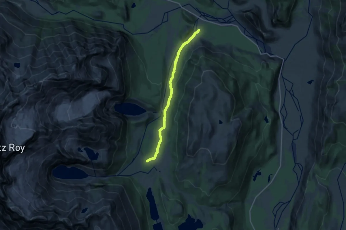
Medium · Trail
Sendero El Pilar - Rio Blanco
12.2 km · ↑ 323 m · 3 h 35 min