Trails in Australia
551 hiking trails, each with its route, climb, walking time and grade.
All trails, page 11 of 12
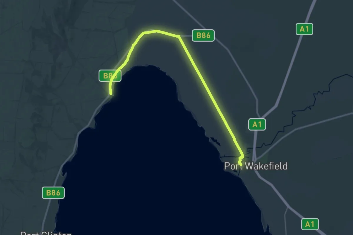
Demanding · Trail
Walk The Yorke
29.8 km · ↑ 14 m · 7 h 4 min
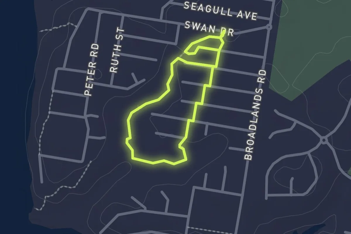
Easy · Trail
Wallaby Creek Walking track
1.9 km · ↑ 14 m · 30 min
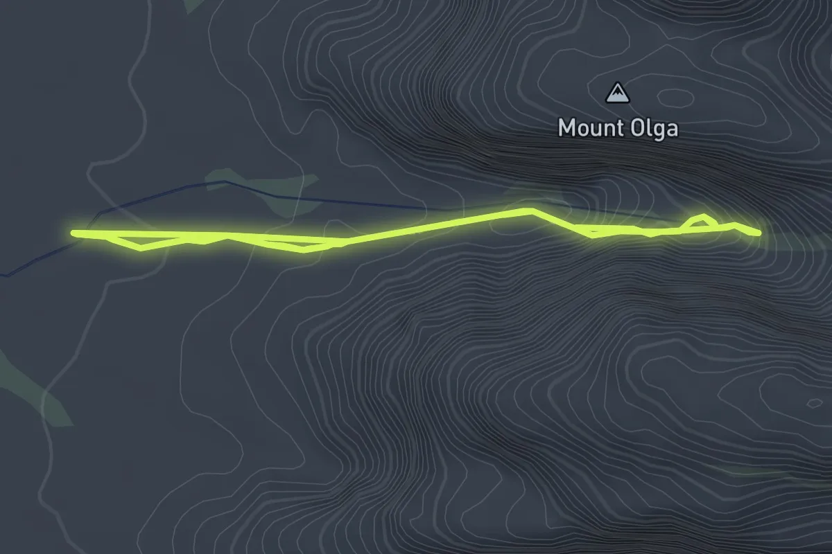
Easy · Trail
Walpa Gorge Walk
3.0 km · ↑ 285 m · 1 h 19 min
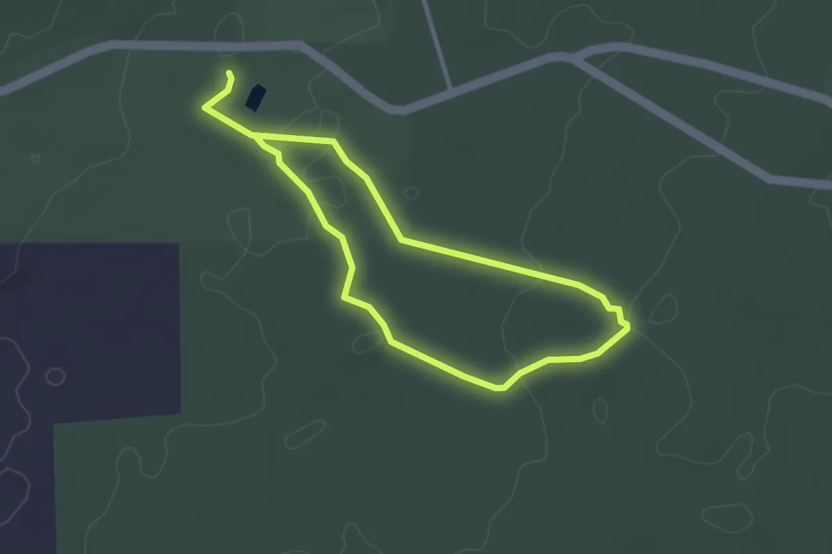
Easy · Trail
Wandoo Walk
2.9 km · ↑ 49 m · 49 min
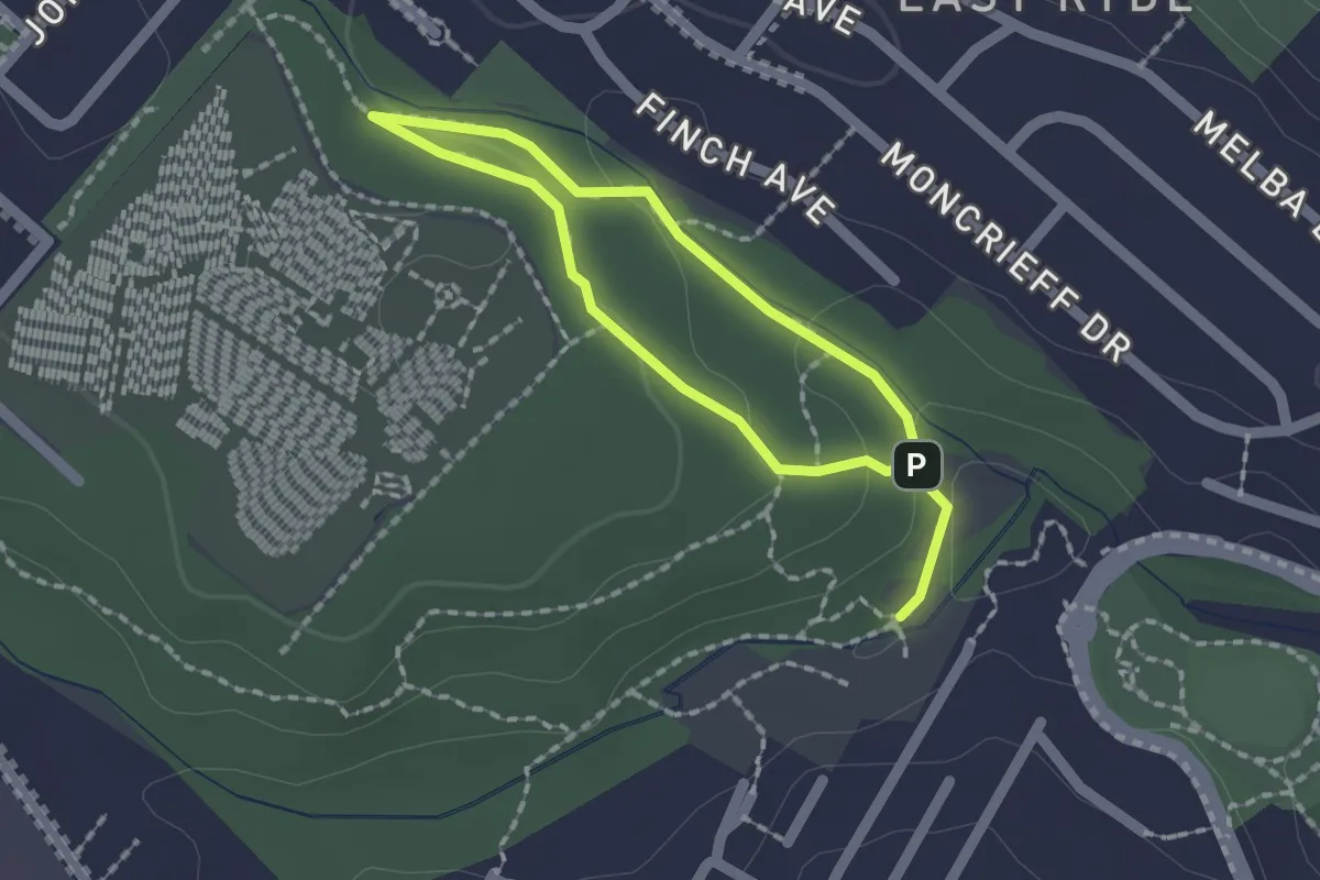
Easy · Trail
Warada Loop
3.2 km · ↑ 78 m · 55 min
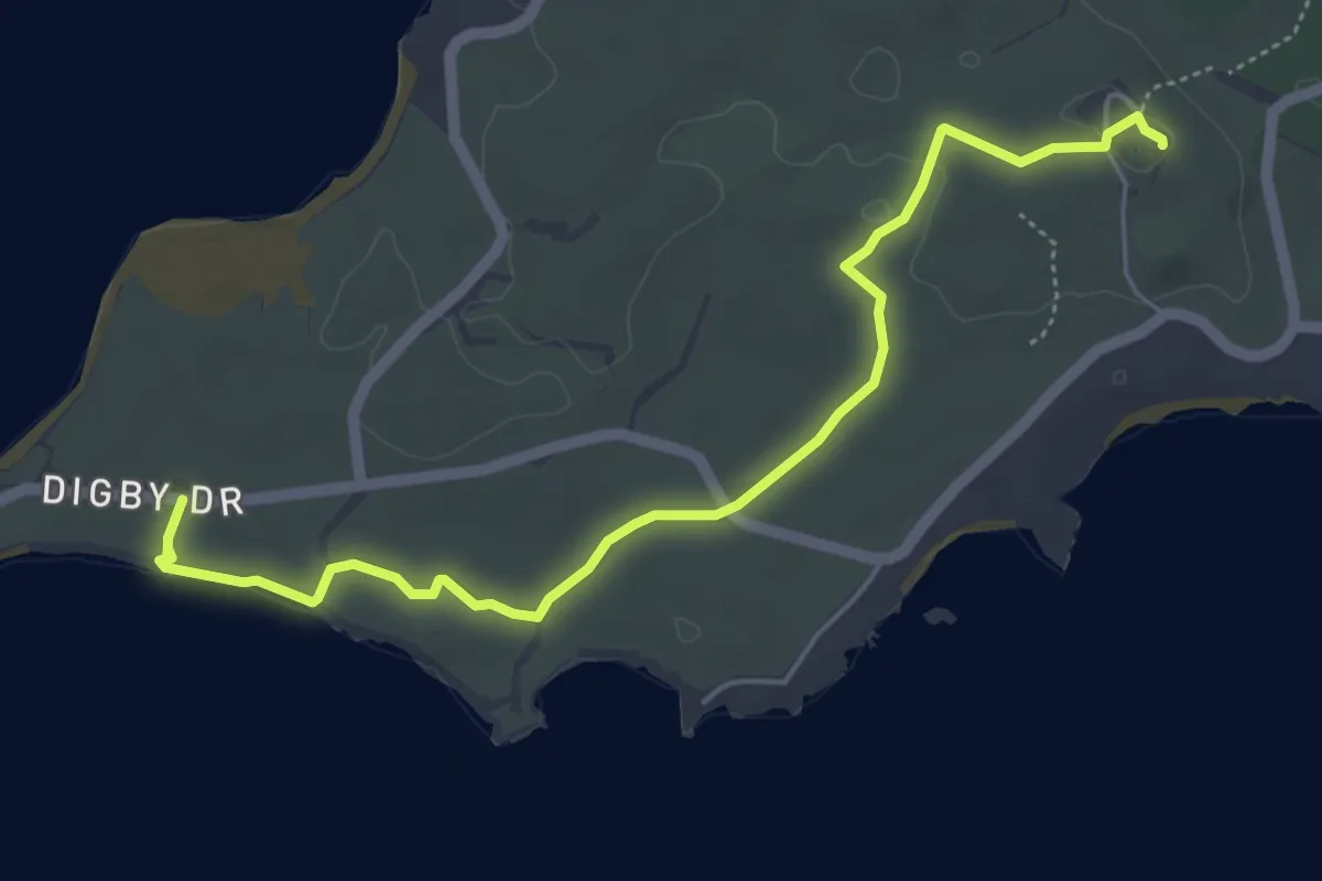
Easy · Summit
Wardan Nara Bidi (Salmon Bay)
6.9 km · ↑ 50 m · 1 h 44 min
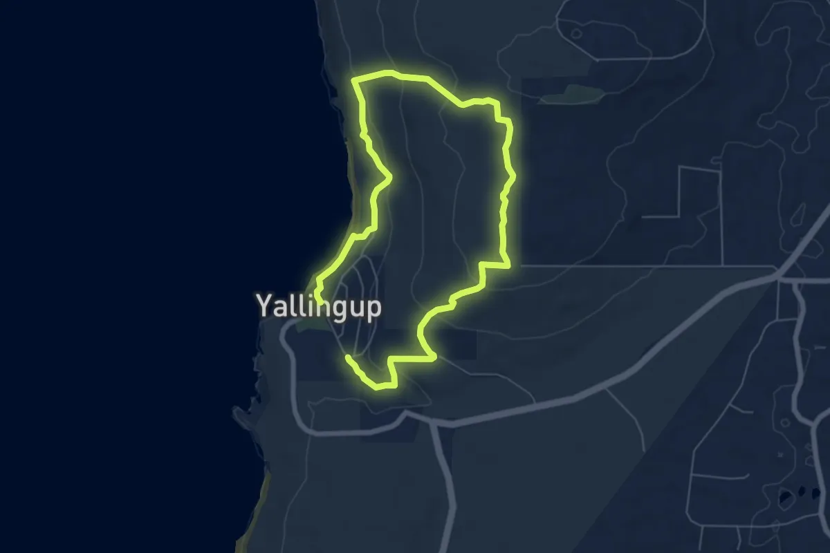
Medium · Trail
Wardanup Trail
11.8 km · ↑ 420 m · 3 h 42 min
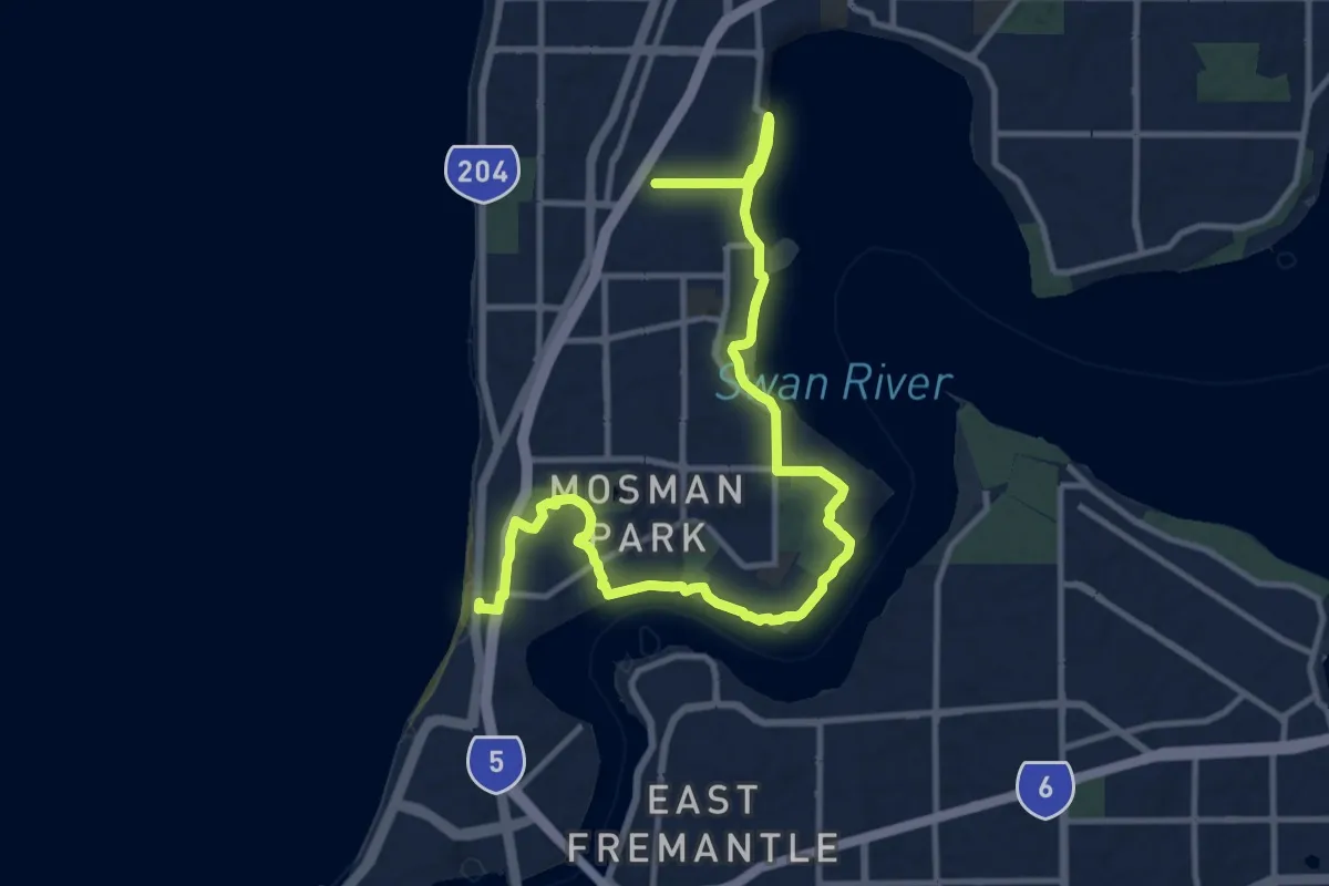
Demanding · Trail
Wardun Beelier Bidi
18.1 km · ↑ 818 m · 6 h 3 min
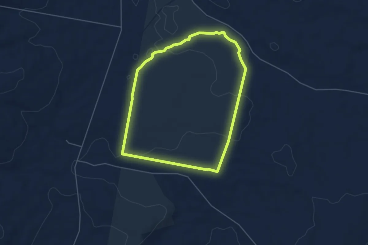
Easy · Trail
Watercourse Hike
5.0 km · ↑ 65 m · 1 h 23 min
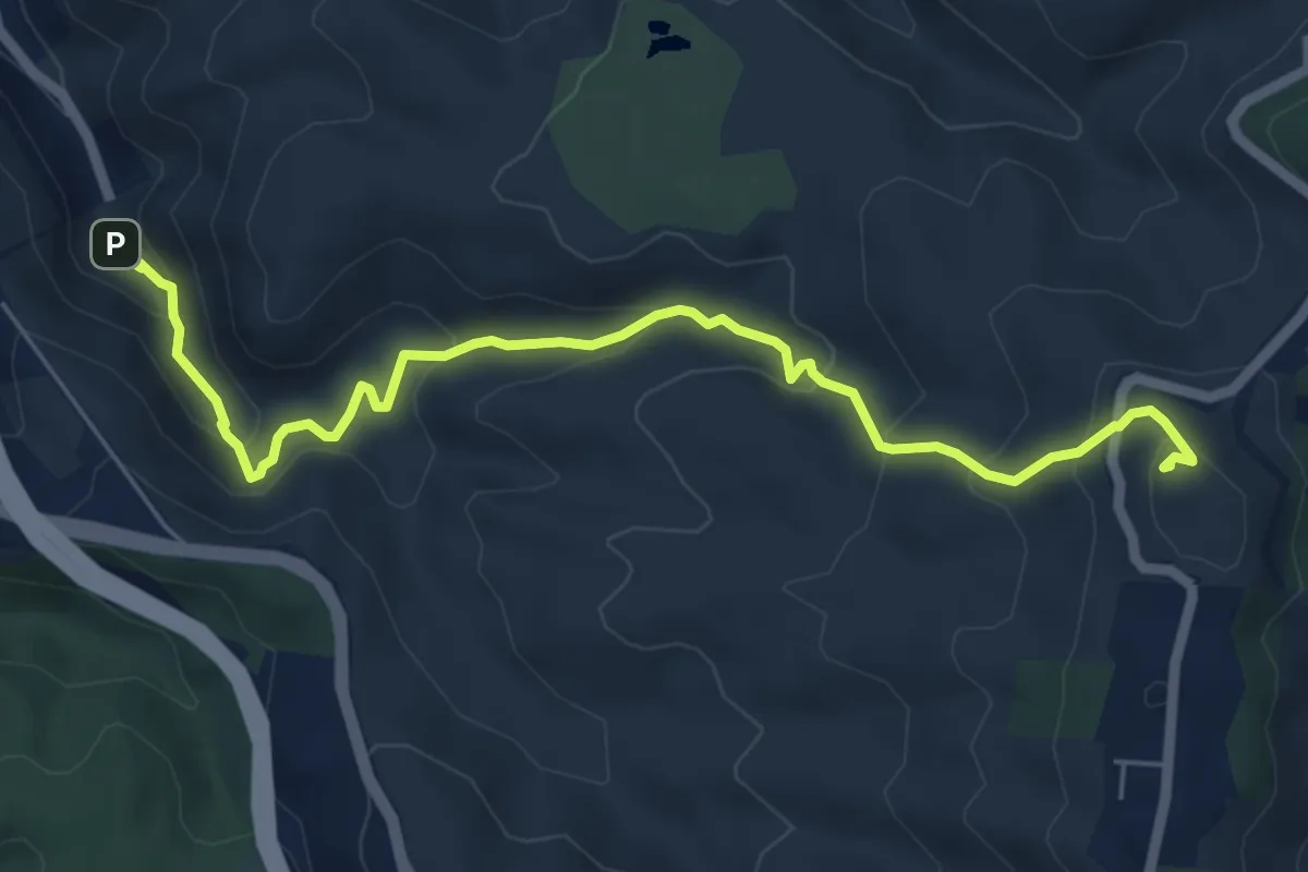
Medium · Summit
Waterfall Gully Trail
7.8 km · ↑ 486 m · 2 h 54 min
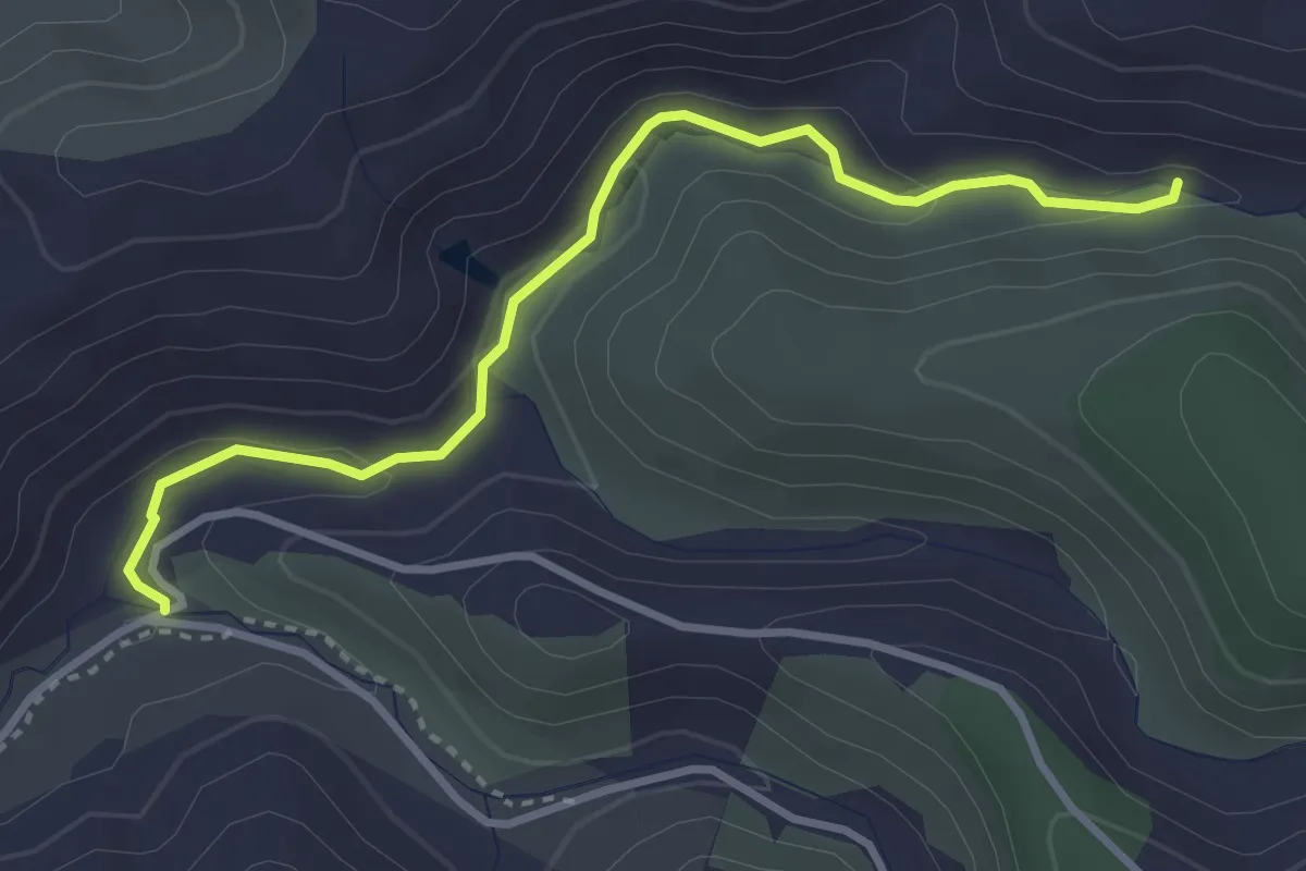
Easy · Trail
Waterworks Walk
4.1 km · ↑ 80 m · 1 h 8 min
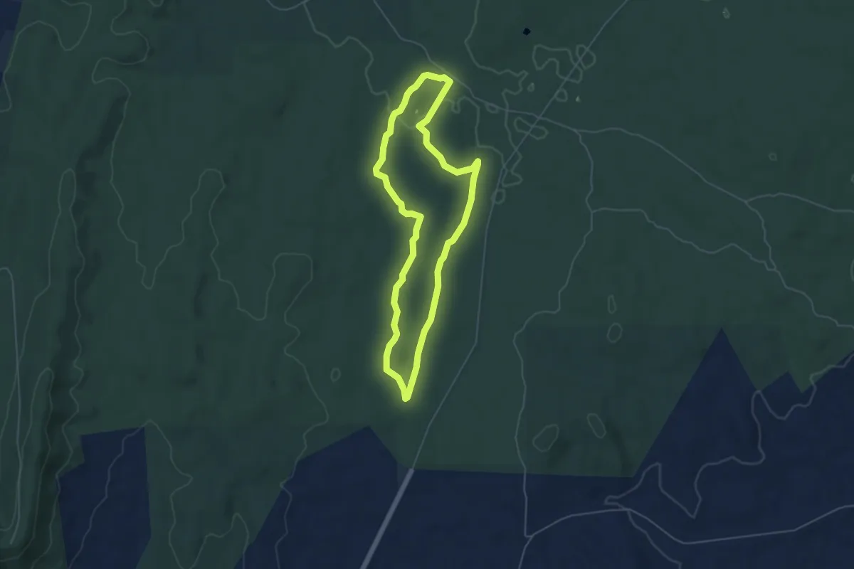
Easy · Trail
Wattle Gully Walk
5.4 km · ↑ 68 m · 1 h 31 min
Easy · Trail
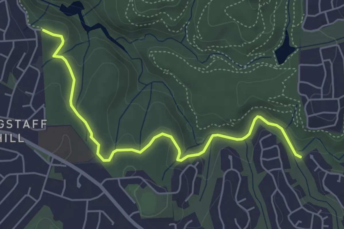
Wattle Trail
6.0 km · ↑ 123 m · 1 h 41 min
Medium · Trail
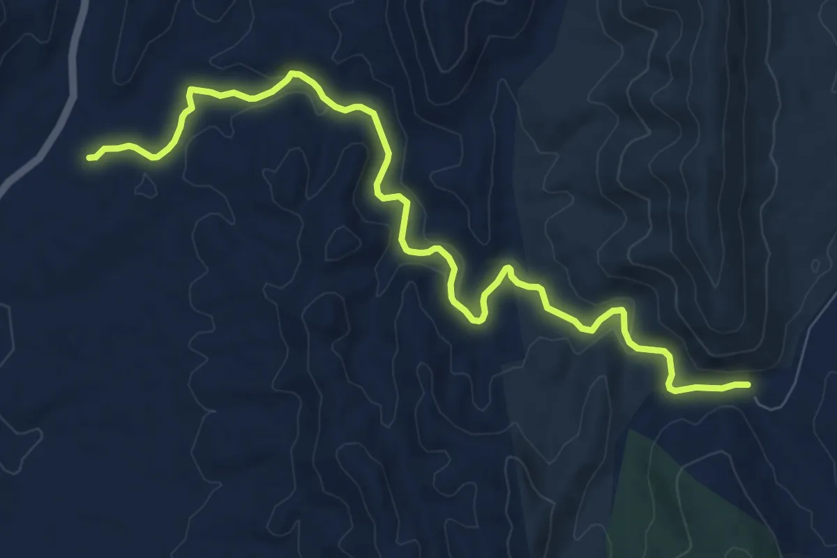
Waukarie Creek Walking Trail
11.6 km · ↑ 181 m · 3 h 8 min
Easy · Summit
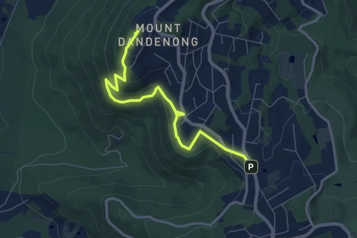
Ways of Seeing (ngurrak barring | RidgeWalk)
7.5 km · ↑ 315 m · 2 h 27 min
Easy · Trail
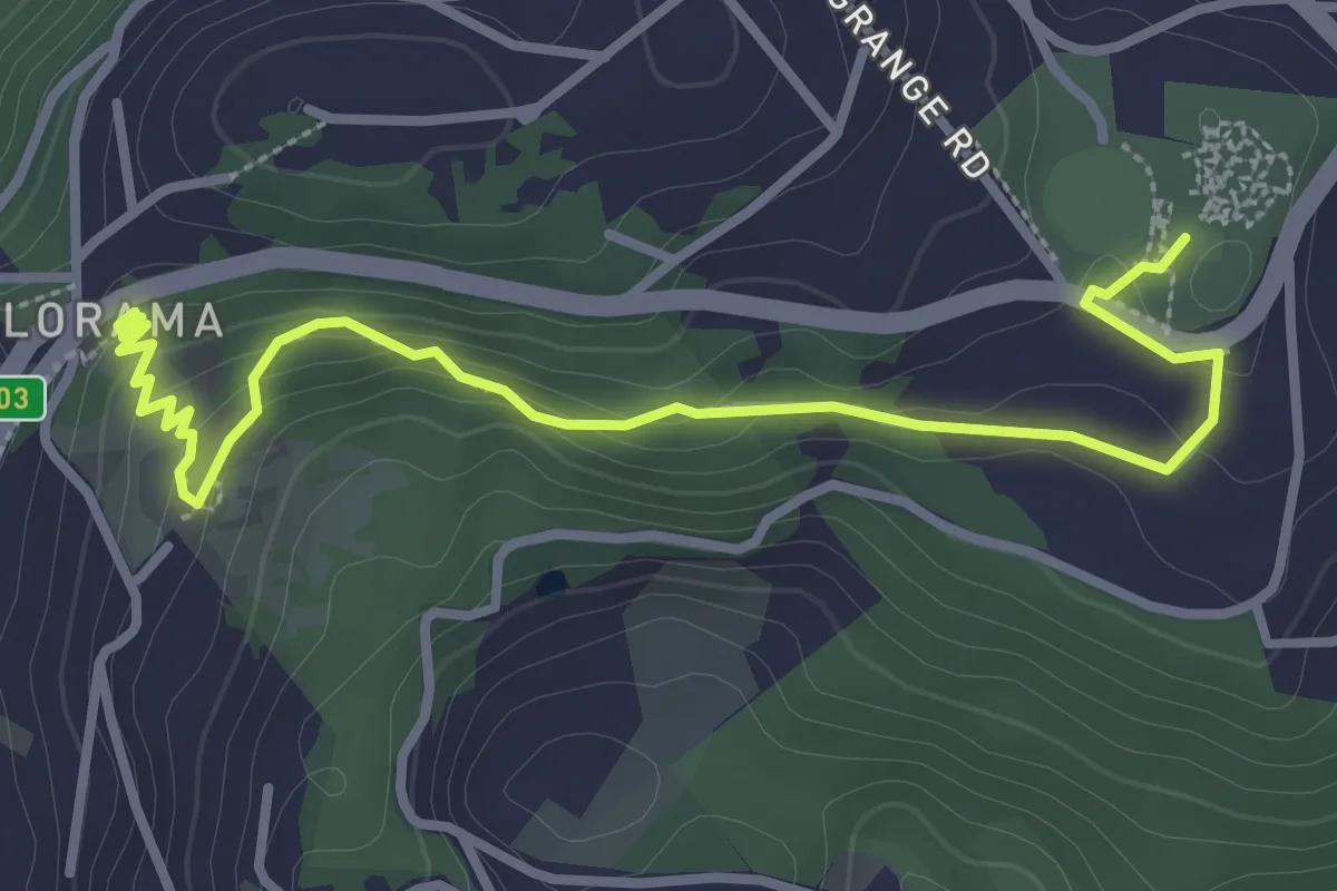
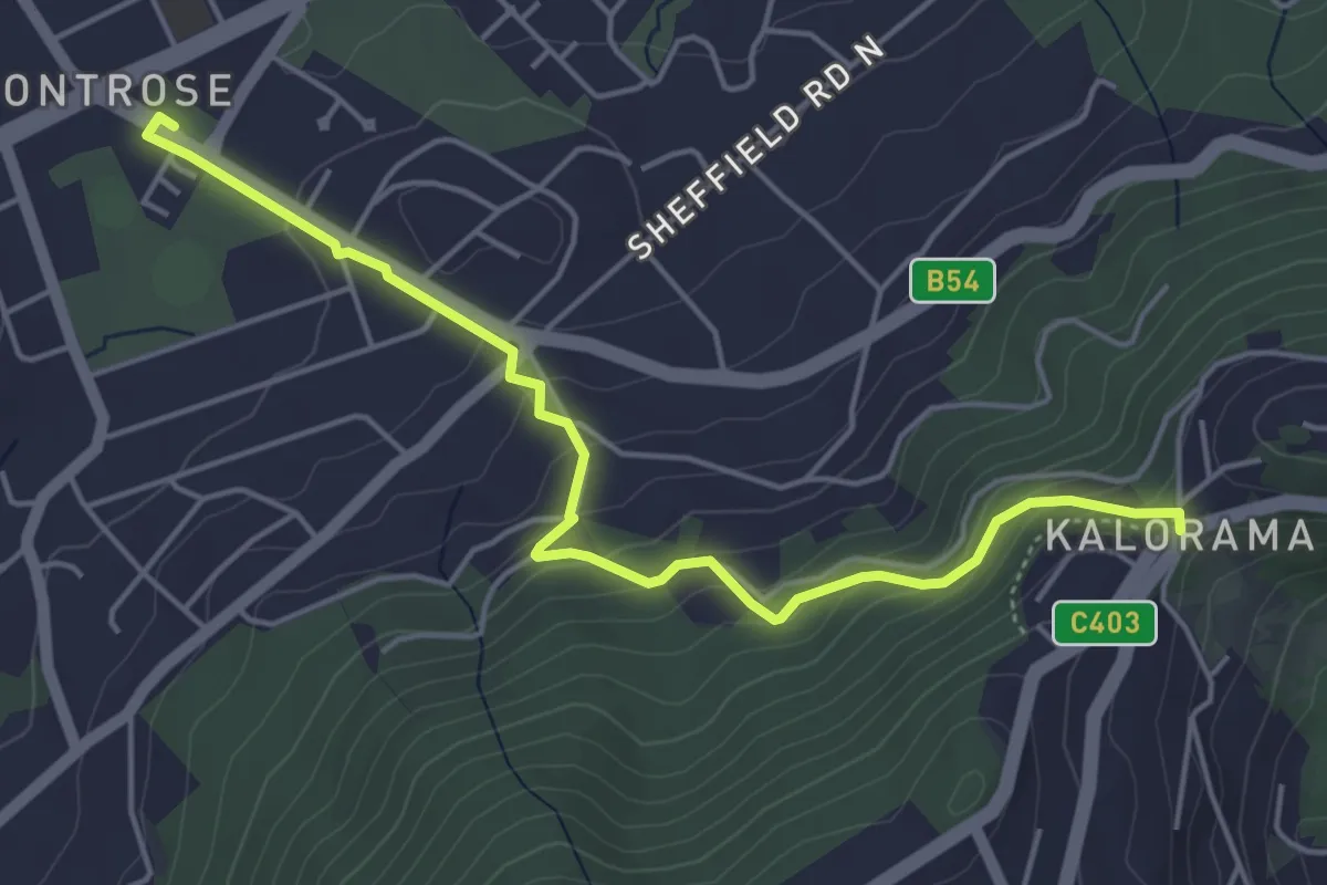
Ways of Seeing (ngurrak barring | RidgeWalk)
4.3 km · ↑ 166 m · 1 h 22 min
Easy · Trail
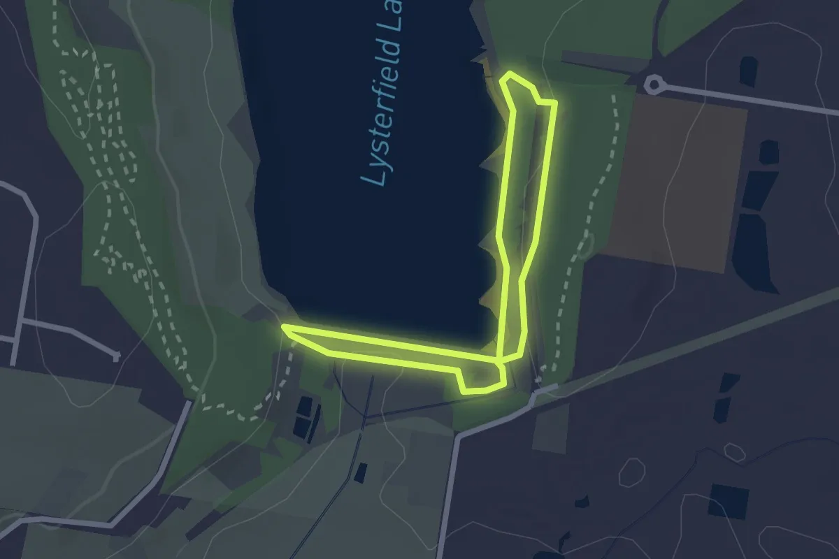
Ways of Seeing (ngurrak barring | RidgeWalk)
5.9 km · ↑ 283 m · 2 h
Easy · Trail
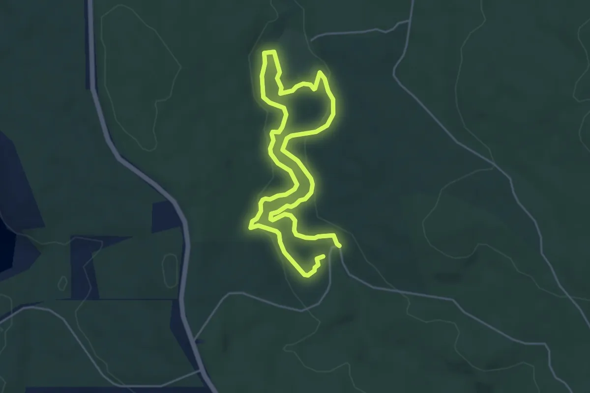
Welcome Walk
2.3 km · ↑ 44 m · 40 min
Easy · Trail
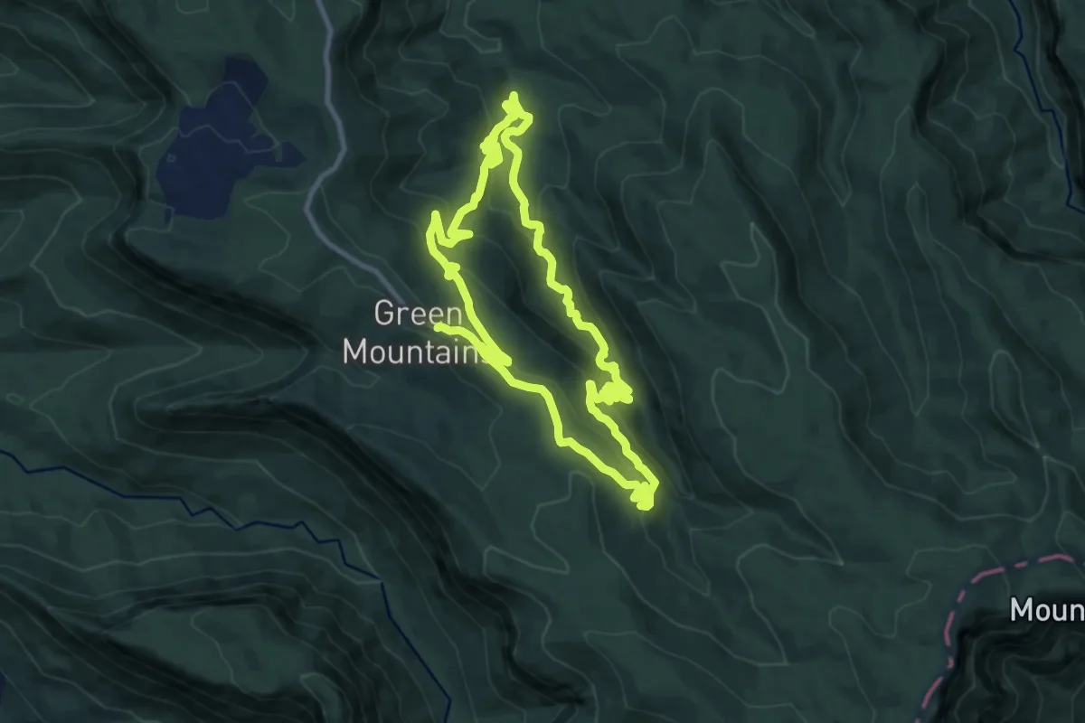
Werribee River Walk
4.5 km · ↑ 79 m · 1 h 17 min
Medium · Trail
West Canungra Creek Circuit
12.3 km · ↑ 597 m · 4 h 22 min
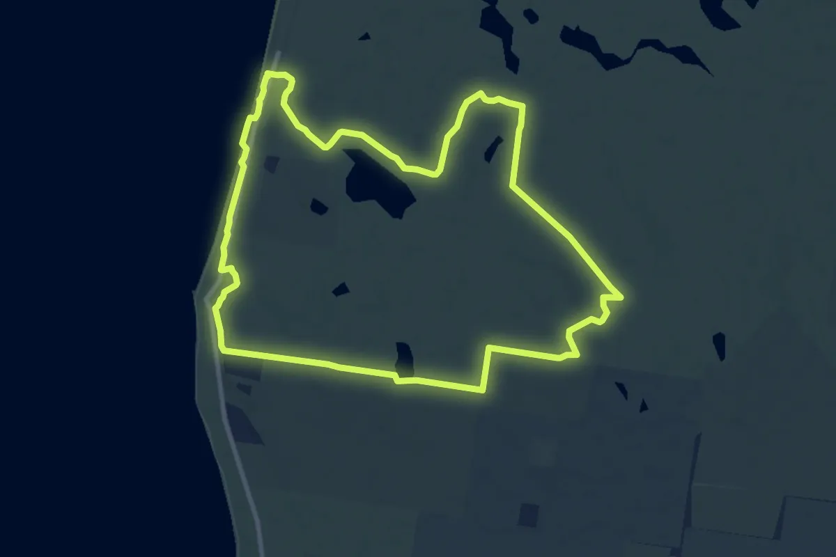
Medium · Summit
West Coast Wetlands Track
10.6 km · ↑ 72 m · 2 h 49 min
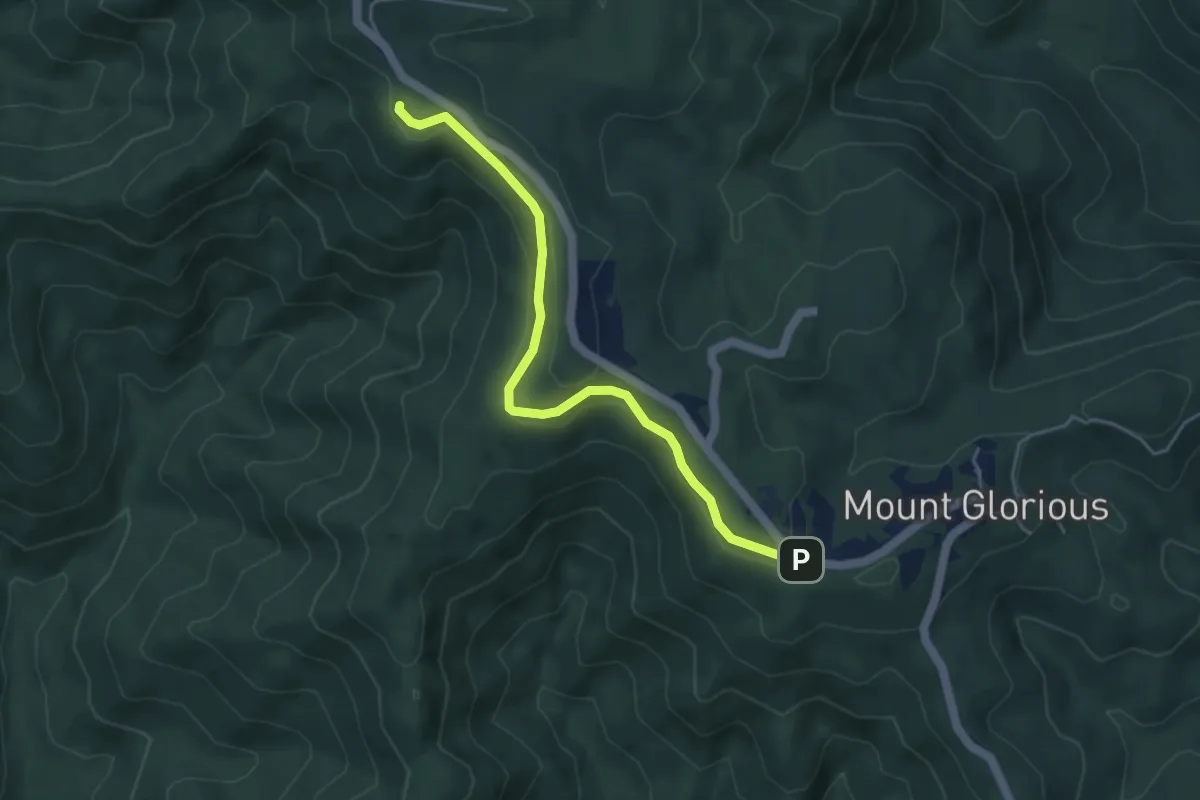
Easy · Trail
Westside Track
5.7 km · ↑ 176 m · 1 h 44 min
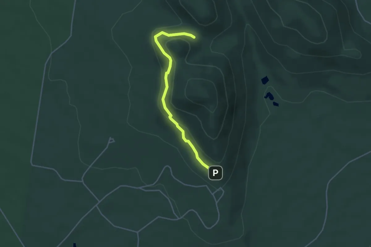
Easy · Trail
West Walk
3.9 km · ↑ 131 m · 1 h 13 min
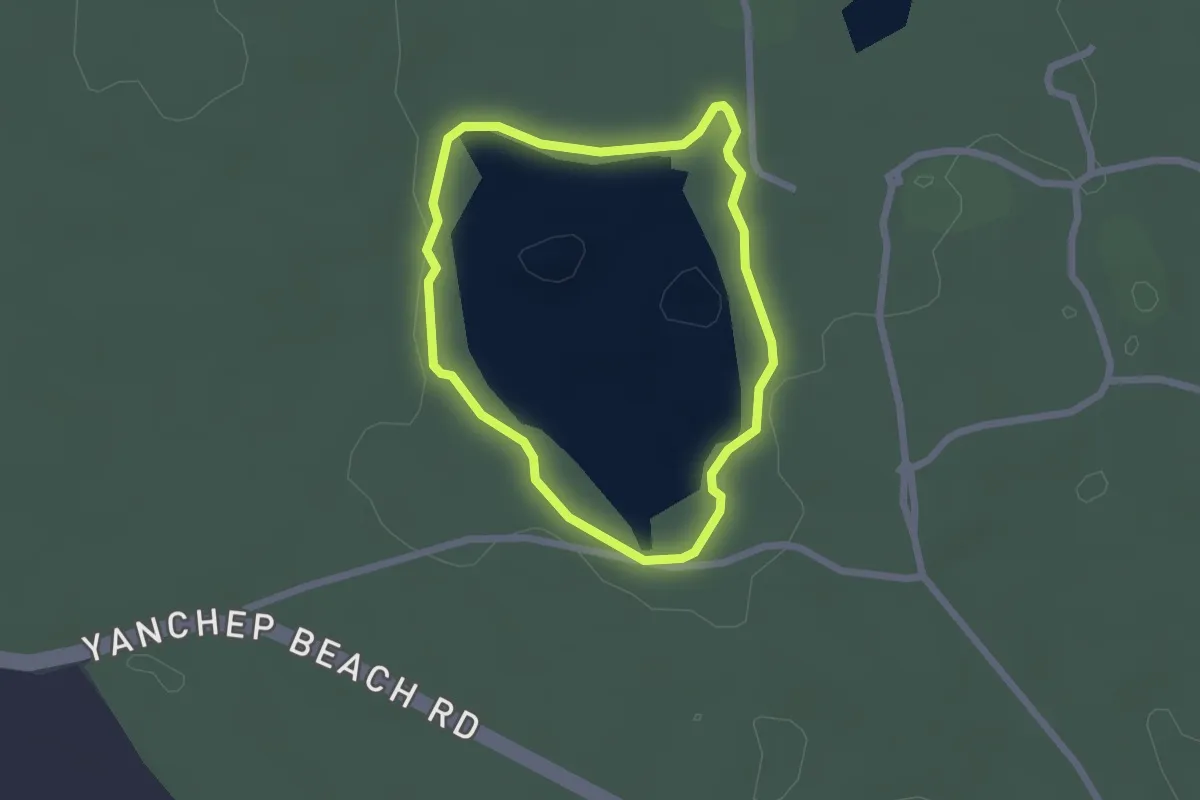
Easy · Trail
Wetlands Trail
2.3 km · ↑ 20 m · 37 min
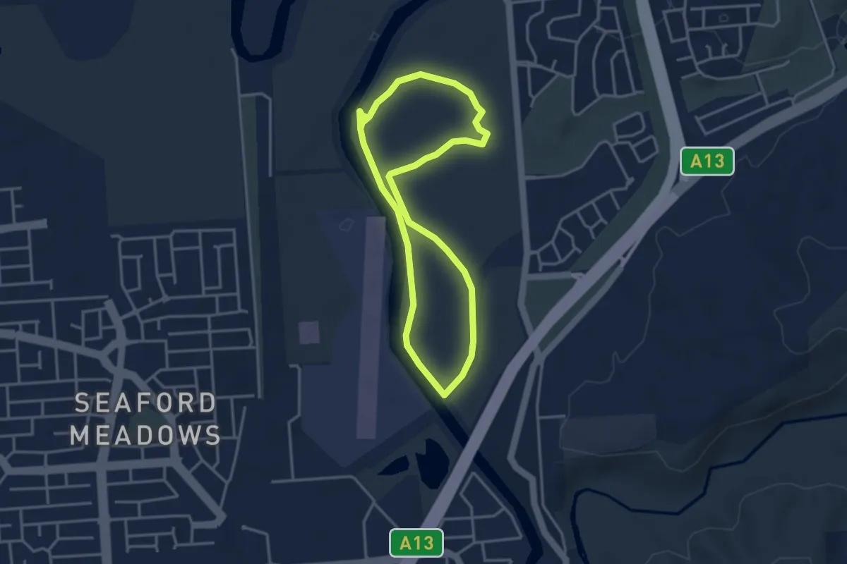
Easy · Trail
Wetlands Walk
3.7 km · ↑ 10 m · 57 min
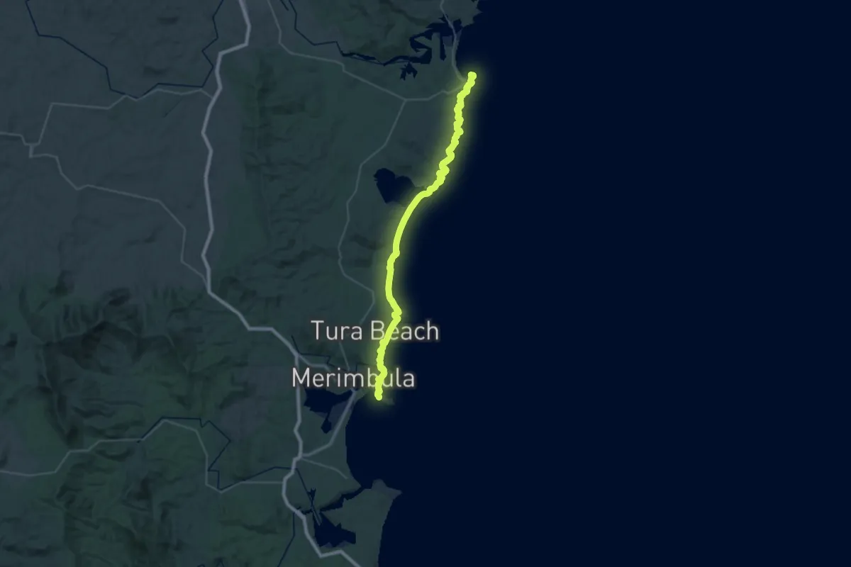
Demanding · Trail
Wharf to Wharf Walk
25.2 km · ↑ 567 m · 7 h 32 min
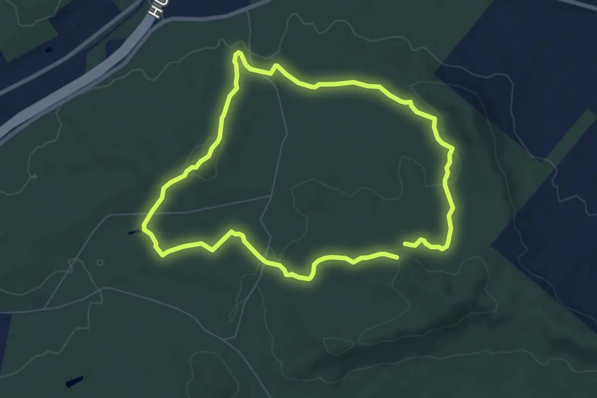
Easy · Trail
White Box Walking Track
7.6 km · ↑ 147 m · 2 h 13 min
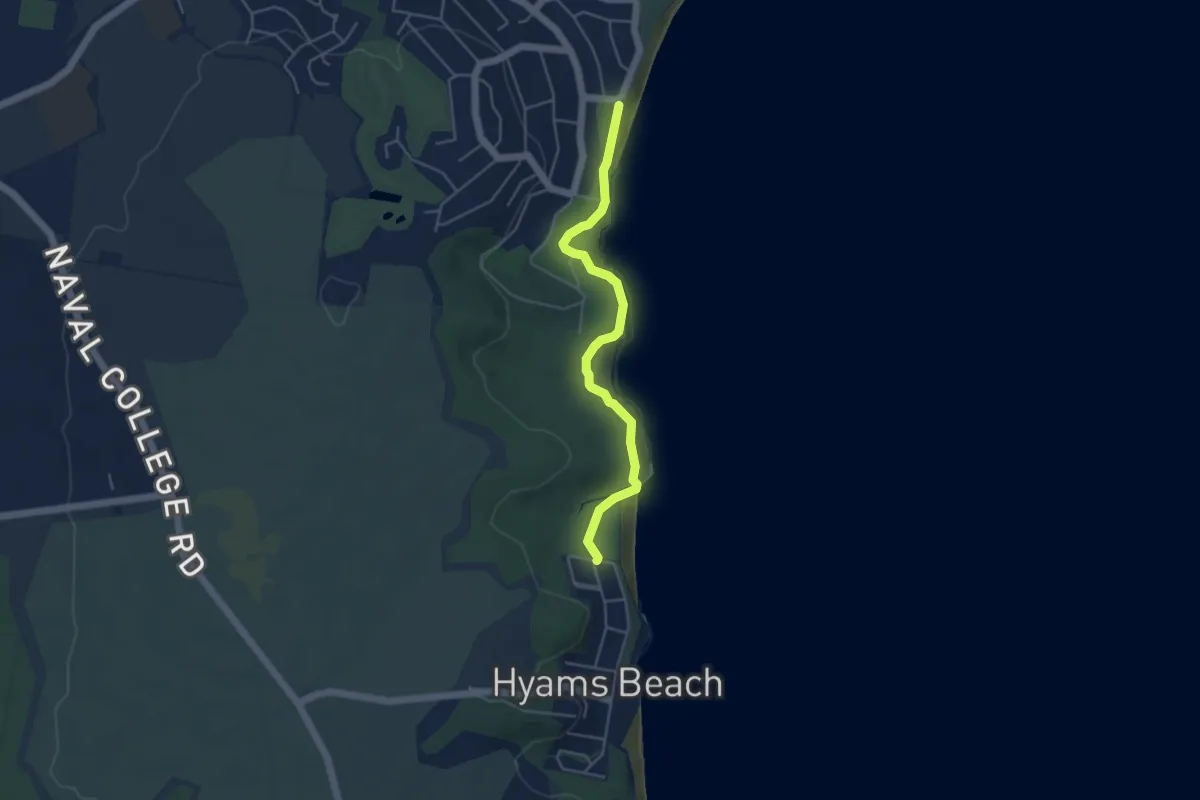
Medium · Trail
White Sands Walk
5.3 km · ↑ 723 m · 2 h 49 min
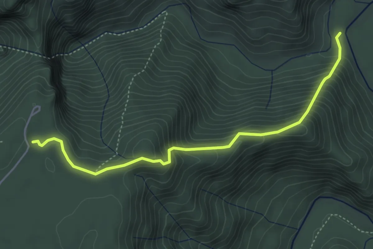
Medium · Trail
White Track
5.5 km · ↑ 456 m · 2 h 17 min
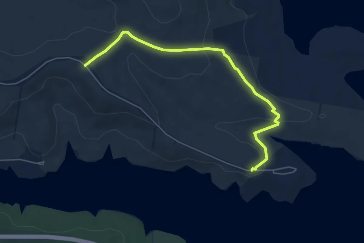
Easy · Trail
White Trail
6.3 km · ↑ 167 m · 1 h 50 min
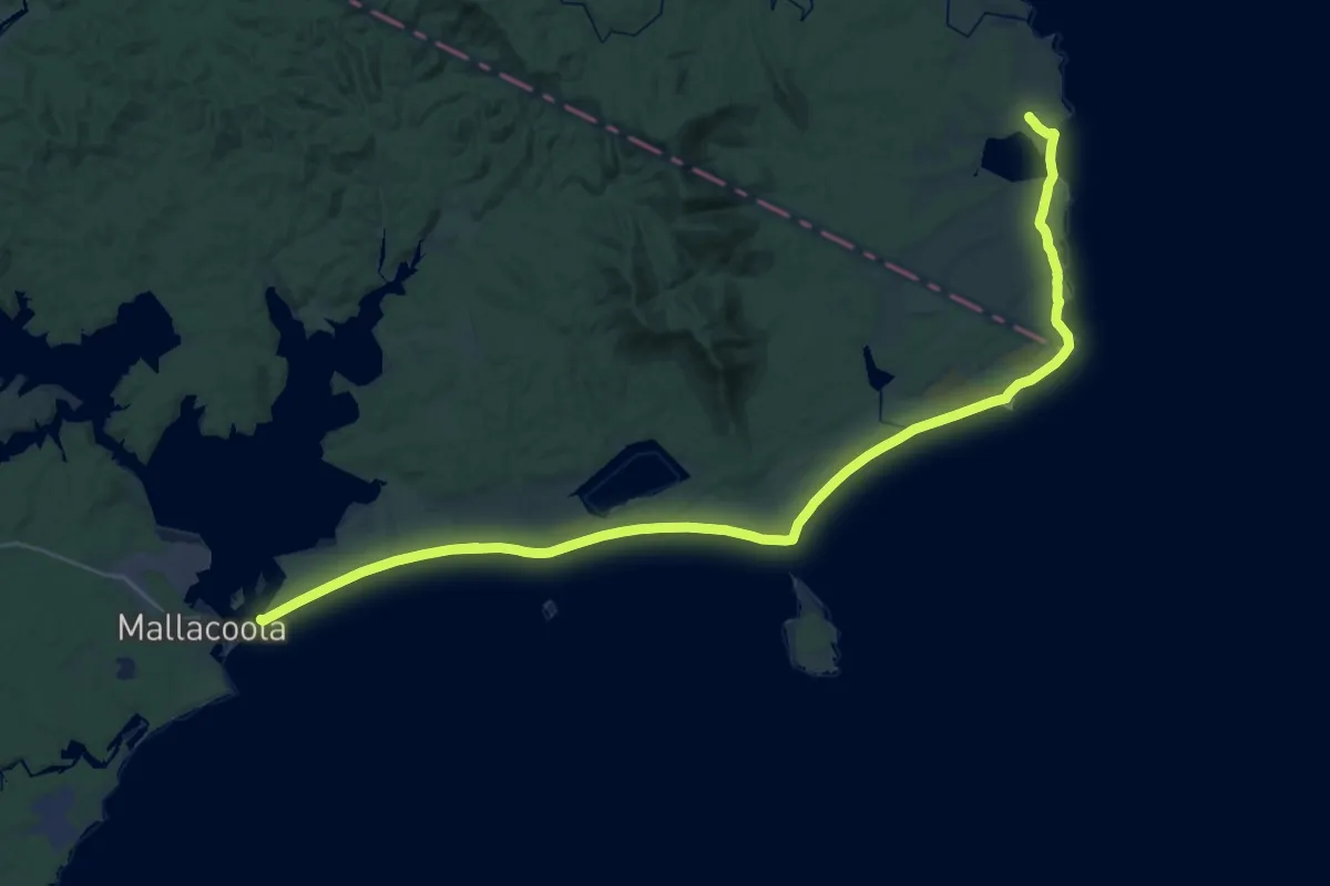
Demanding · Trail
Wilderness Coast Walking Track
27.0 km · ↑ 450 m · 7 h 43 min
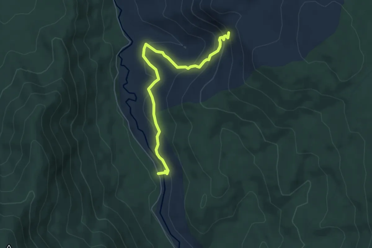
Easy · Trail
Wilhelmina Falls Walk
6.6 km · ↑ 304 m · 2 h 13 min
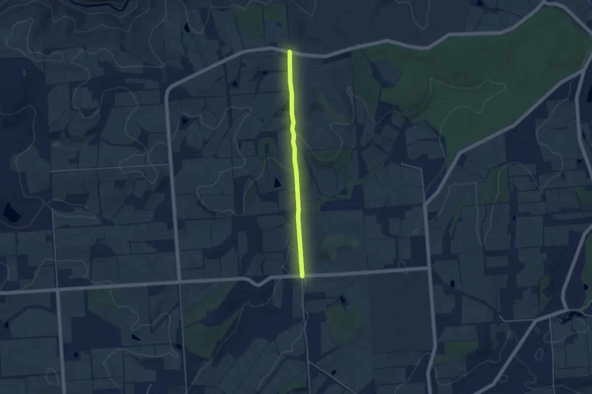
Easy · Trail
Willunga Basin Trail
4.3 km · ↑ 101 m · 1 h 14 min
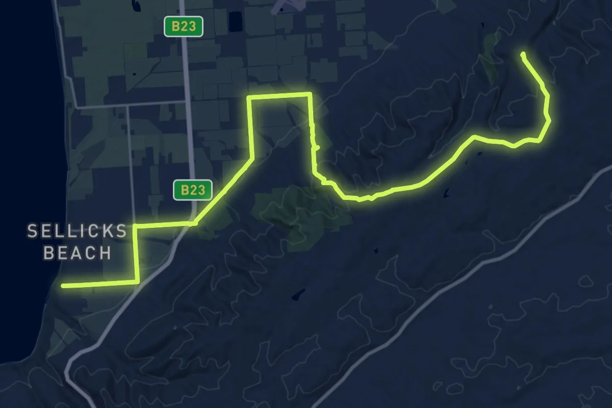
Demanding · Summit
Willunga Basin Trail
32.6 km · ↑ 775 m · 9 h 23 min
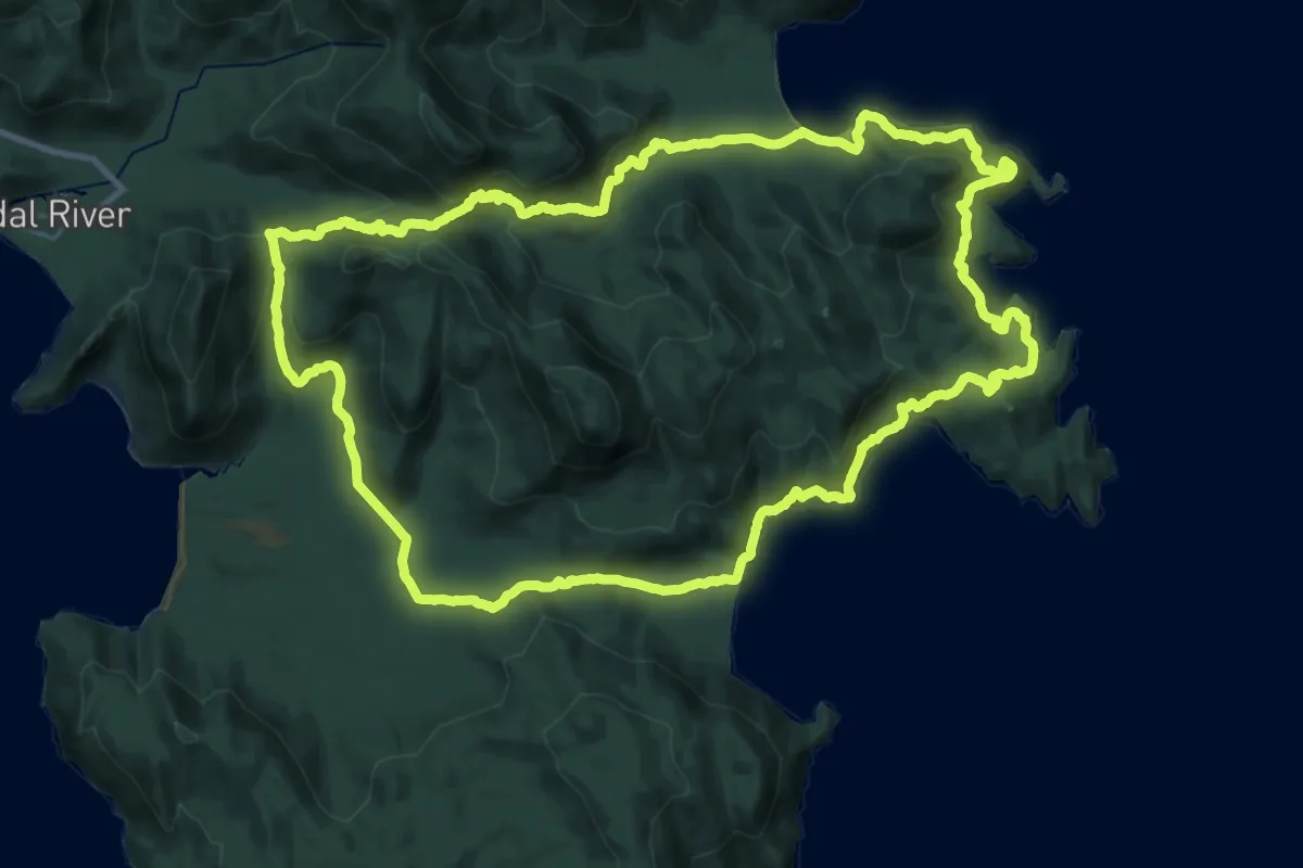
Demanding · Trail
Wilsons Promontory Southern Circuit
33.6 km · ↑ 1231 m · 11 h 4 min
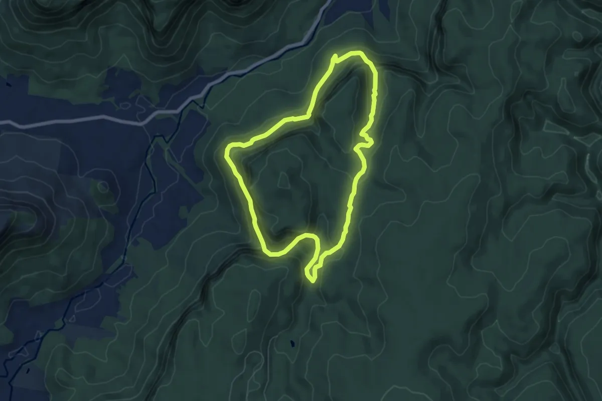
Medium · Trail
Wolgan Valley Loop
7.3 km · ↑ 413 m · 2 h 43 min
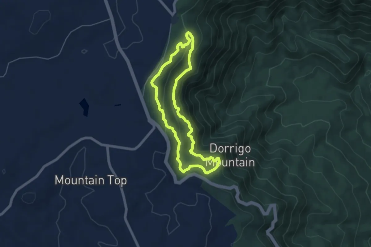
Easy · Trail
Wonga Walk
5.1 km · ↑ 219 m · 1 h 45 min
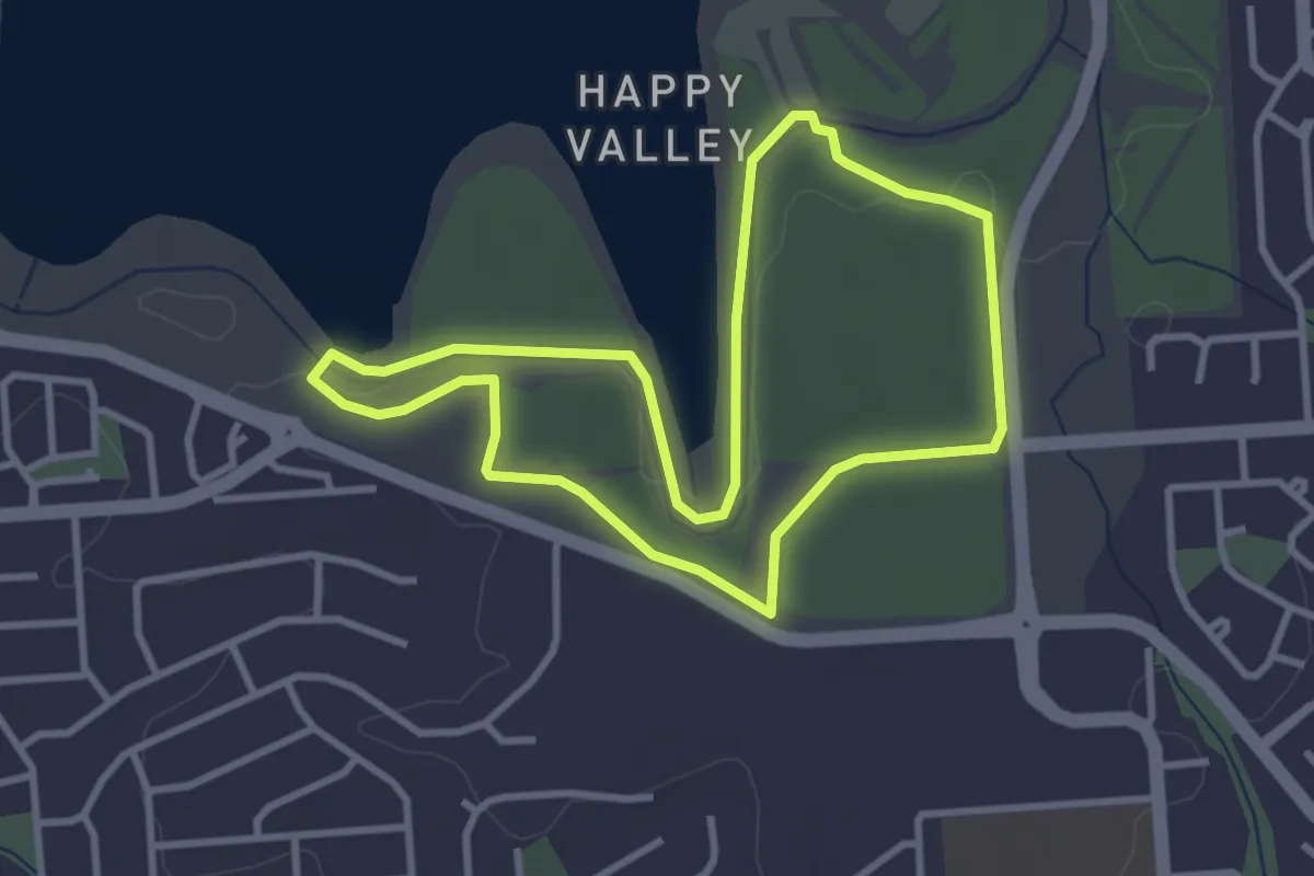
Easy · Trail
Woodland Loop
3.8 km · ↑ 19 m · 59 min
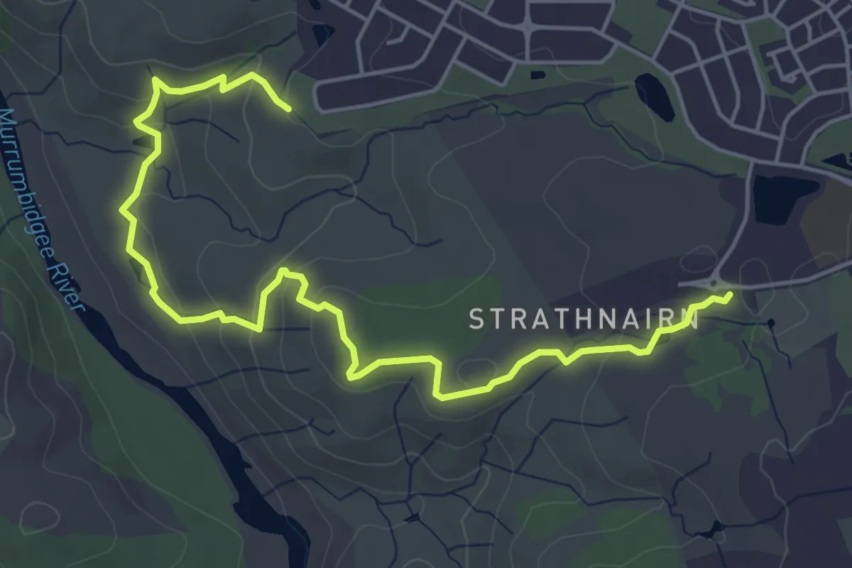
Easy · Trail
Woodland Loop
3.6 km · ↑ 80 m · 1 h 7 min
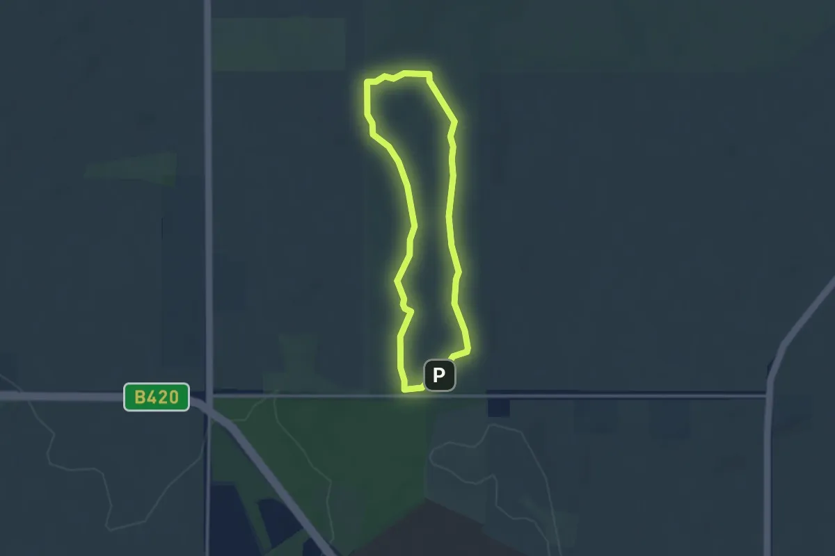
Easy · Trail
Woodland Loop
2.9 km · ↑ 18 m · 45 min
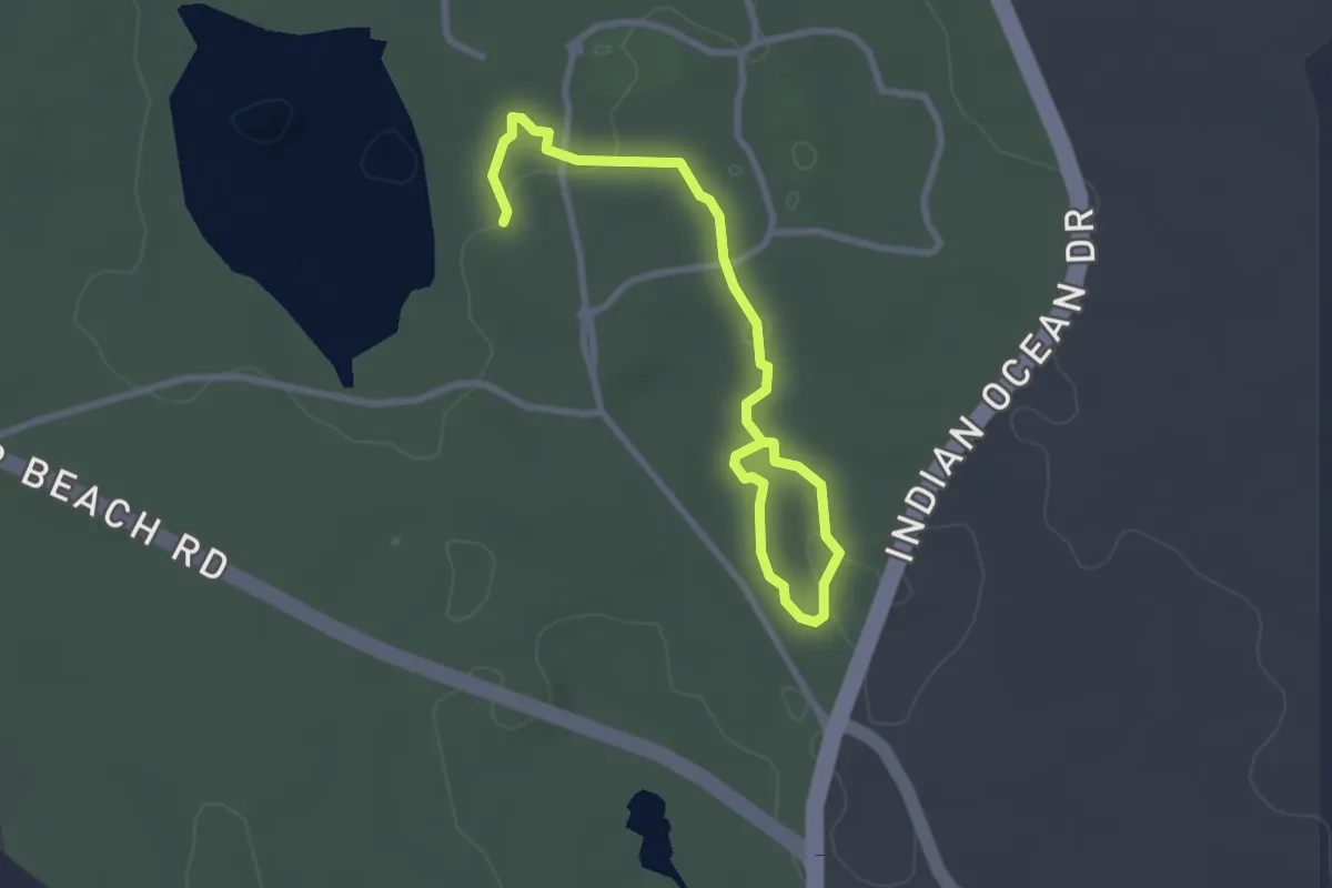
Easy · Trail
Woodlands
4.0 km · ↑ 33 m · 1 h 1 min
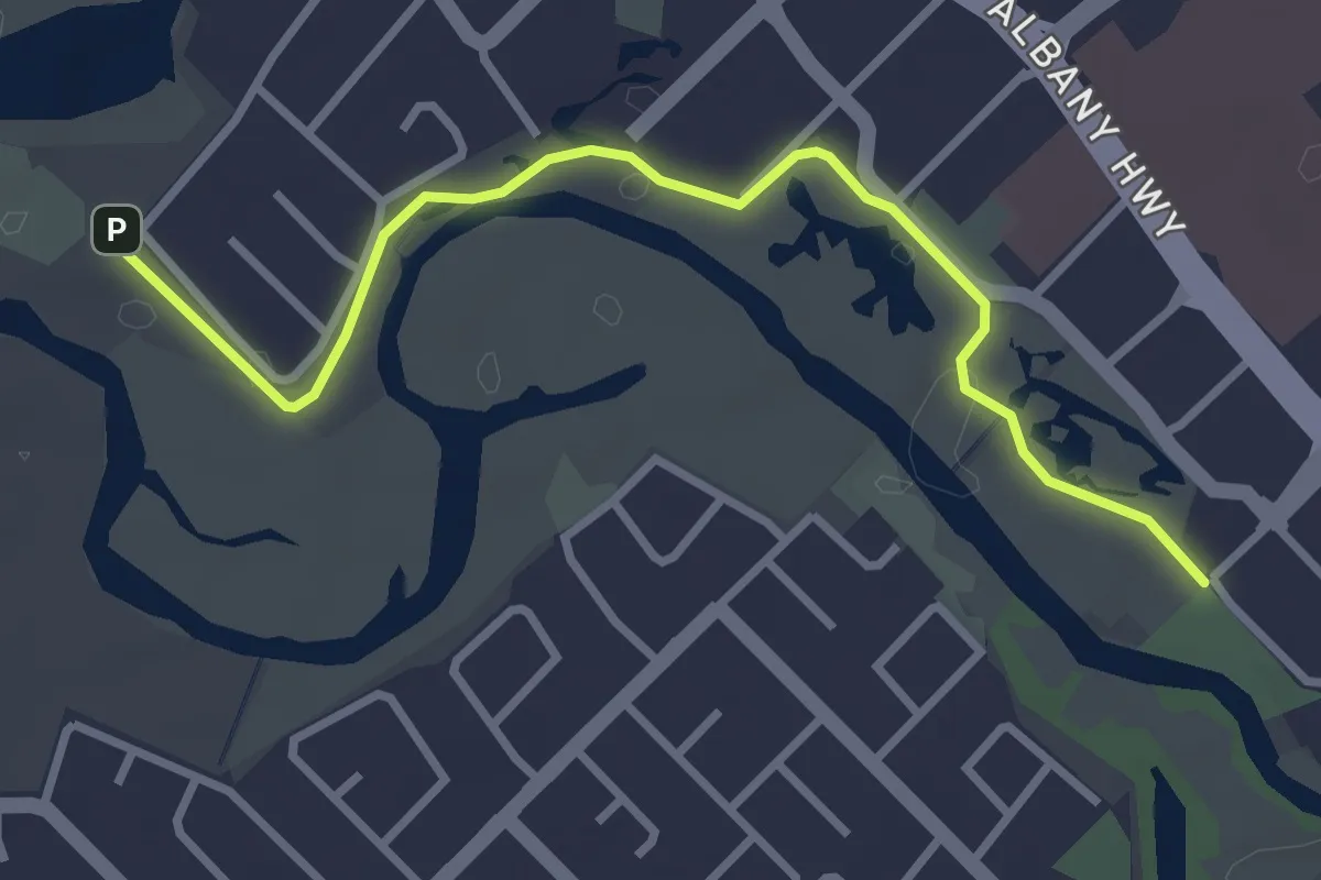
Easy · Trail
Woodloes Walk Trail
4.2 km · ↑ 54 m · 1 h 6 min
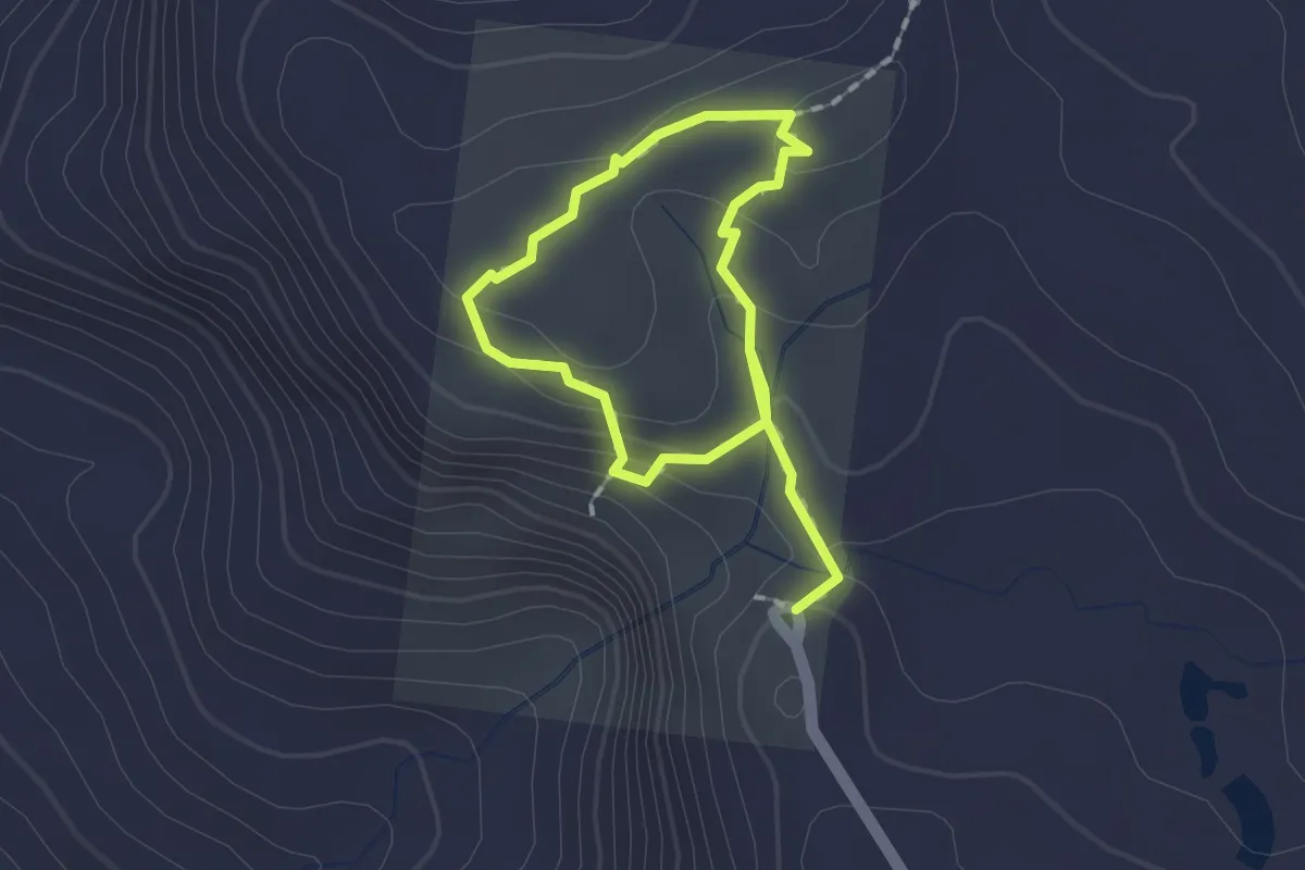
Easy · Trail
Woompoo Circuit
3.0 km · ↑ 138 m · 1 h
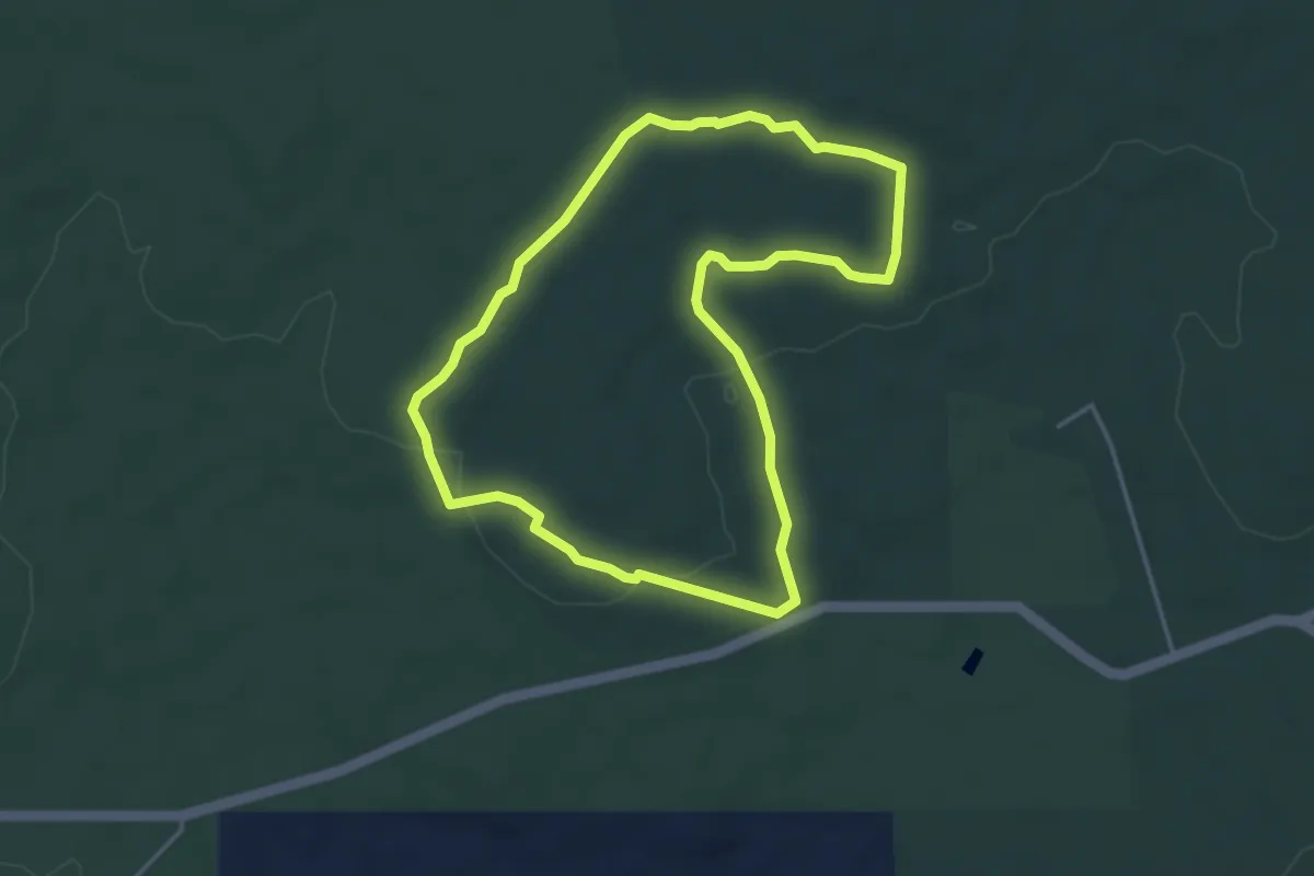
Easy · Trail
Woylie Walk
4.7 km · ↑ 74 m · 1 h 20 min
Easy · Trail
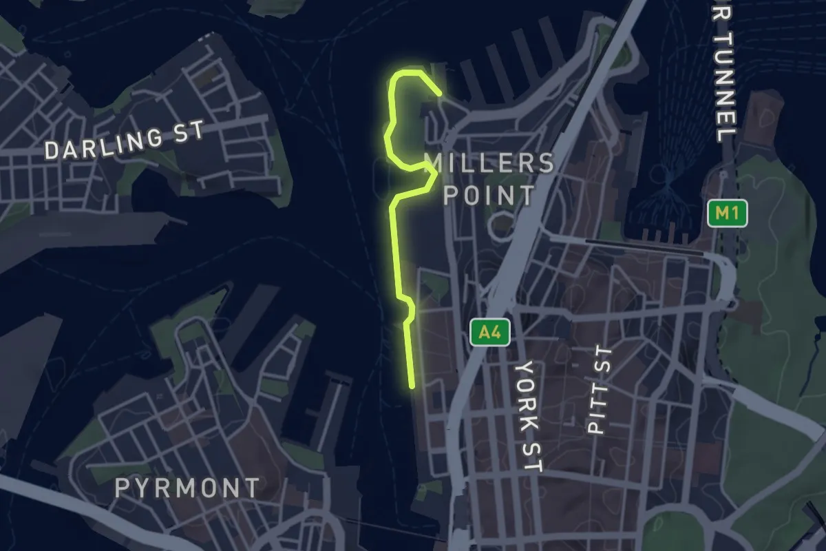
Wulugul Walk
3.2 km · ↑ 0 m · 45 min
Medium · Trail
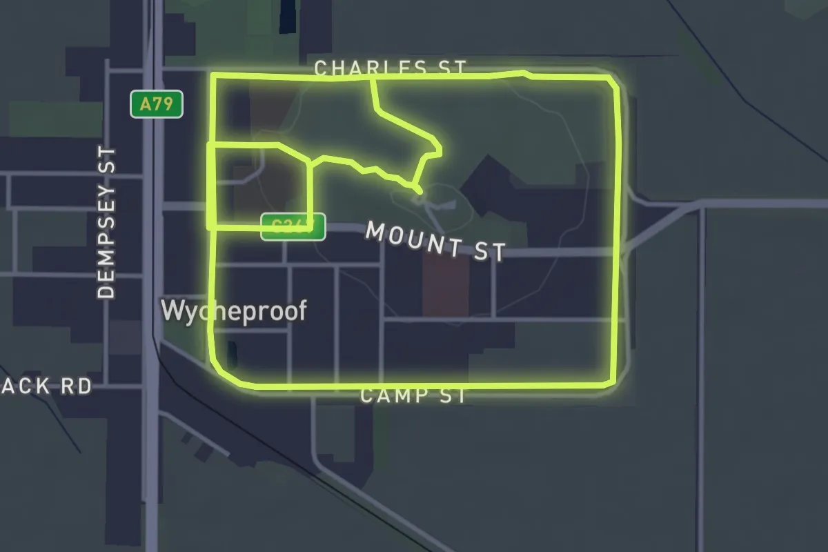
Wycheproof Wetland Walking trail
10.8 km · ↑ 100 m · 2 h 46 min
Demanding · Trail
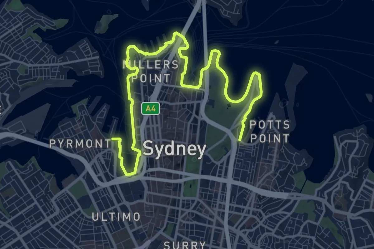
Yananurala
18.2 km · ↑ 422 m · 5 h 13 min
Medium · Trail
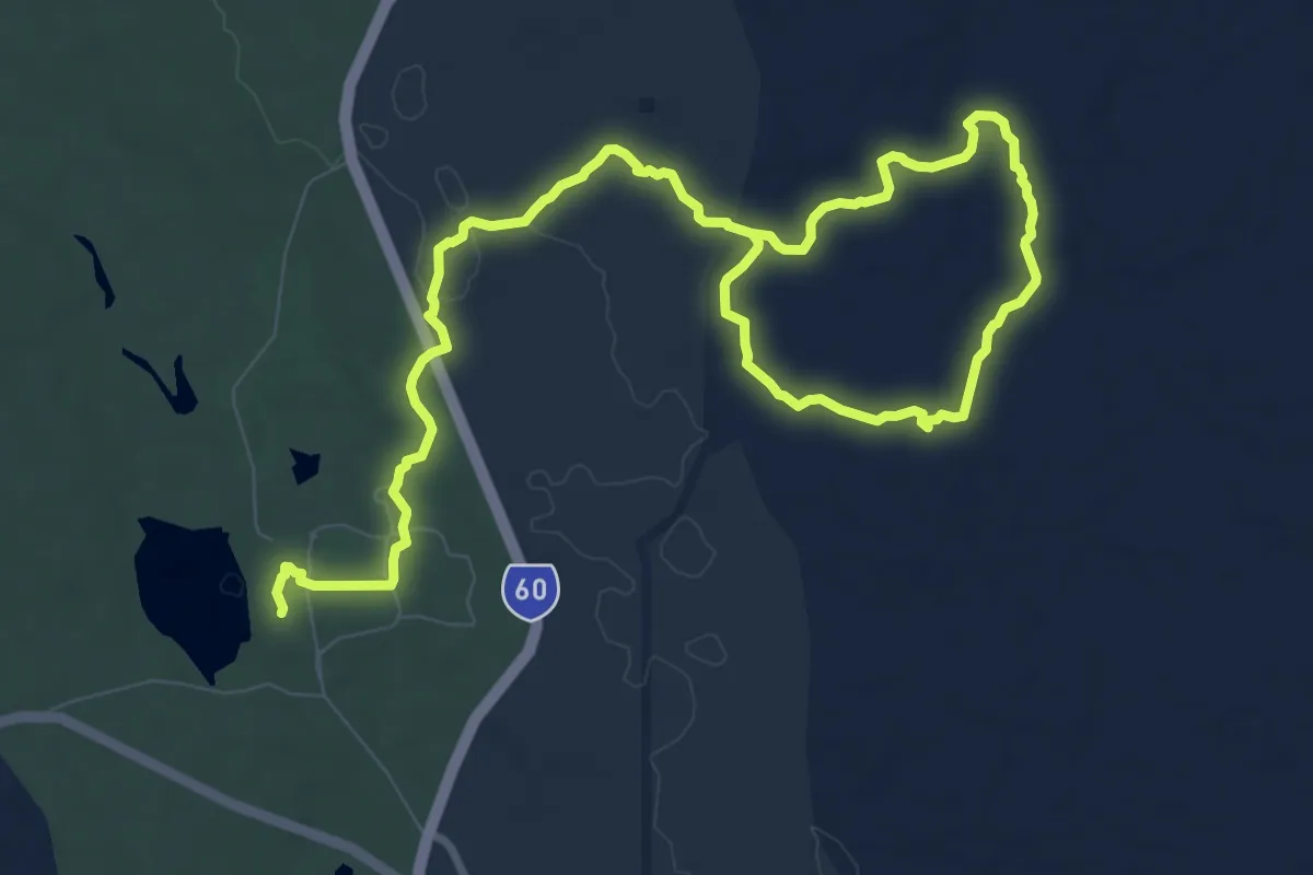
Yanchep Rose
17.2 km · ↑ 155 m · 4 h 24 min