Trails near Bad Eisenkappel/Železna Kapla
121 hikes starting within 15 km, nearest first.
Nearest first, page 3 of 3
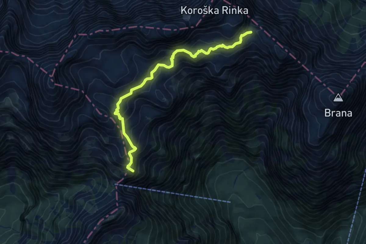
Demanding · Summit
Turski žleb - Cojzova koča (čez Sleme)
7.8 km · ↑ 951 m · 3 h 54 min · 14 km away
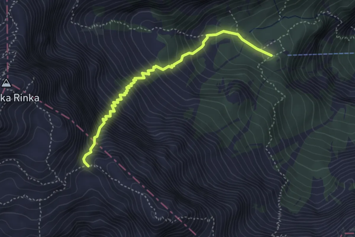
Expert · Cabin
Okrešelj - Turski žleb
4.0 km · ↑ 726 m · 2 h 31 min · 14 km away
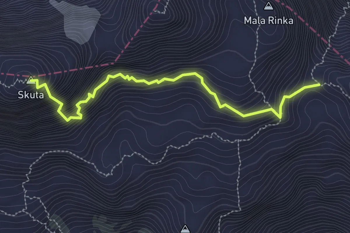
Expert · Summit
Turski žleb - Skuta
3.2 km · ↑ 390 m · 1 h 35 min · 14 km away
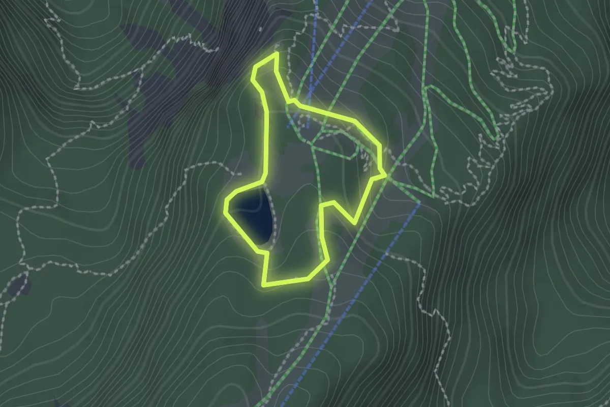
Medium · Trail
Siebenhüttenweg
1.5 km · ↑ 64 m · 31 min · 14 km away
Easy · Trail
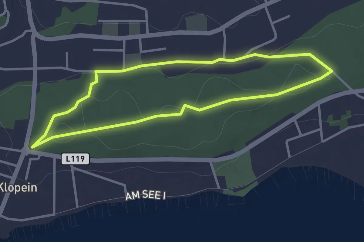
Wildgatter Tour
2.6 km · ↑ 35 m · 44 min · 14 km away
Demanding · Summit
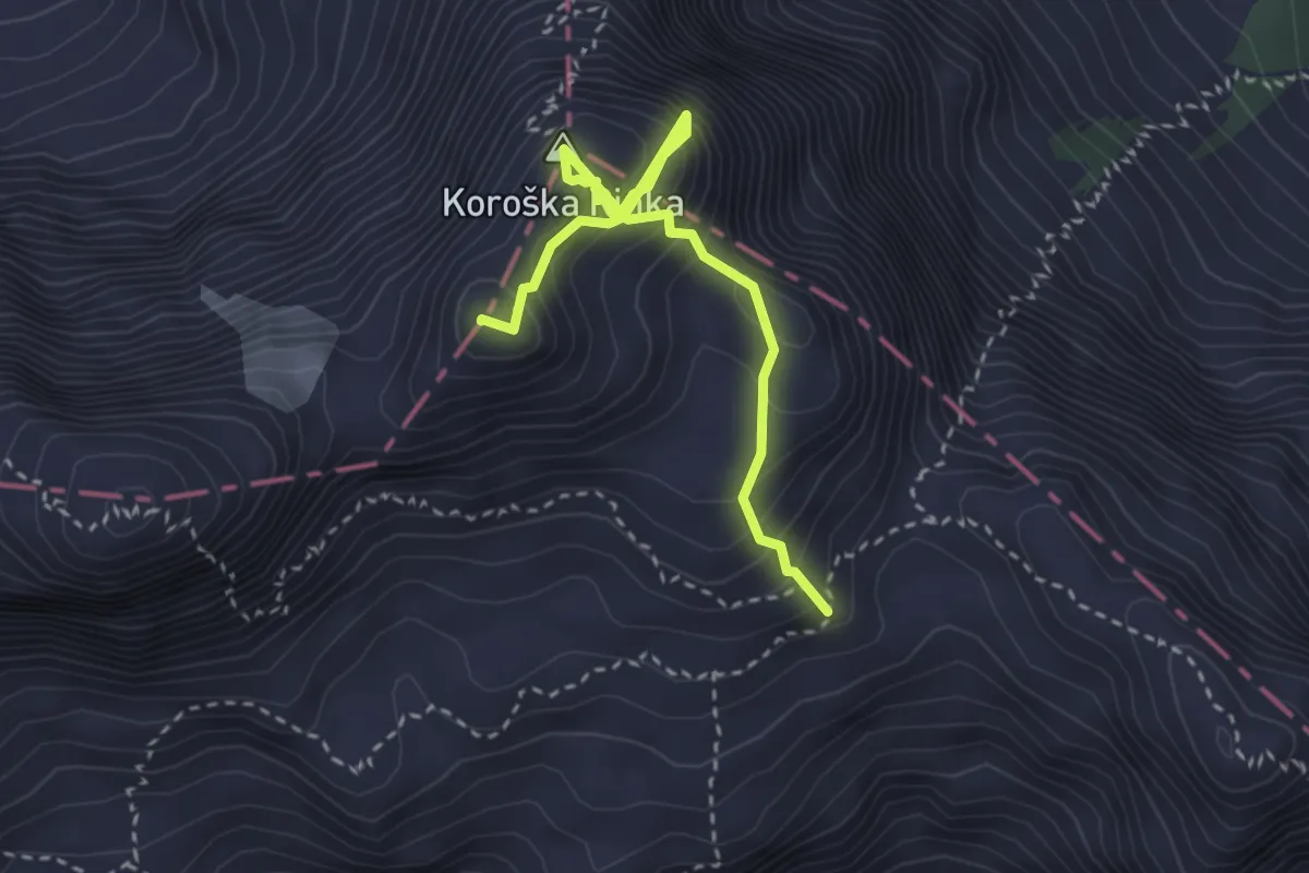
Rinke
3.3 km · ↑ 615 m · 2 h 7 min · 14 km away
Demanding · Trail
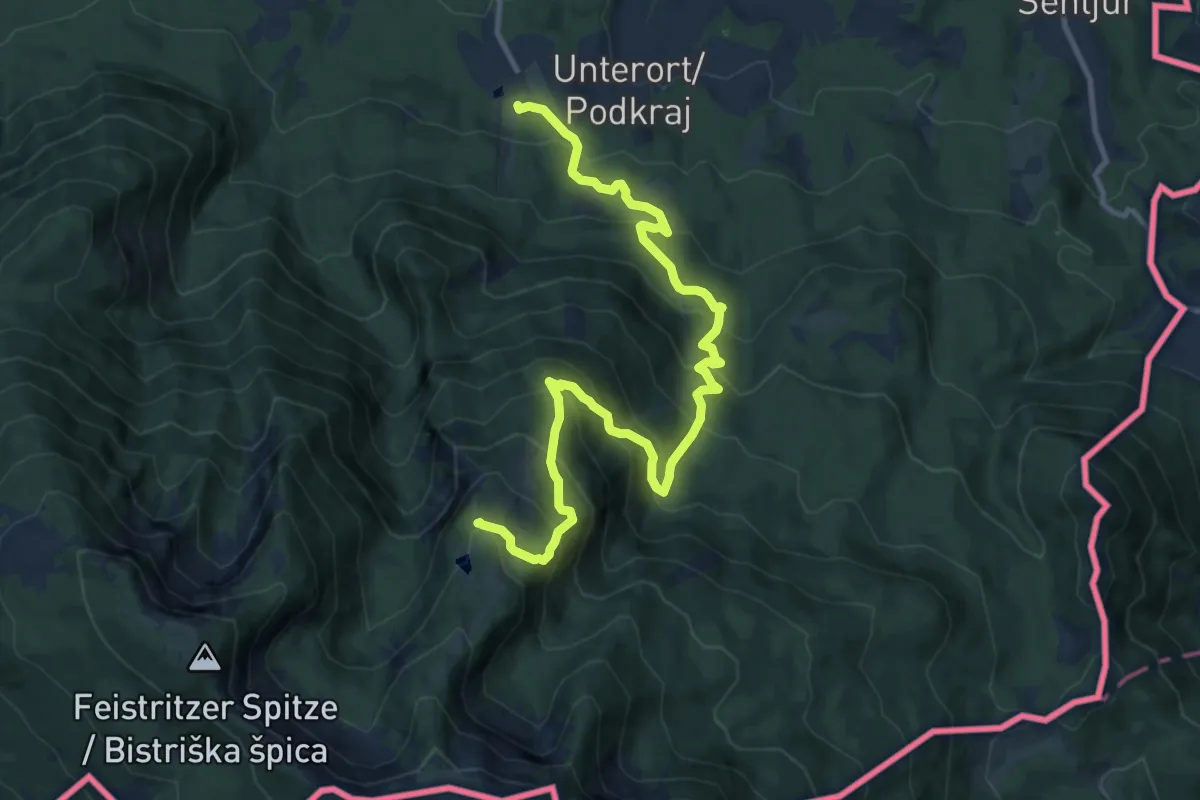
Wandervogel
13.2 km · ↑ 1061 m · 5 h 25 min · 14 km away
Expert · Summit
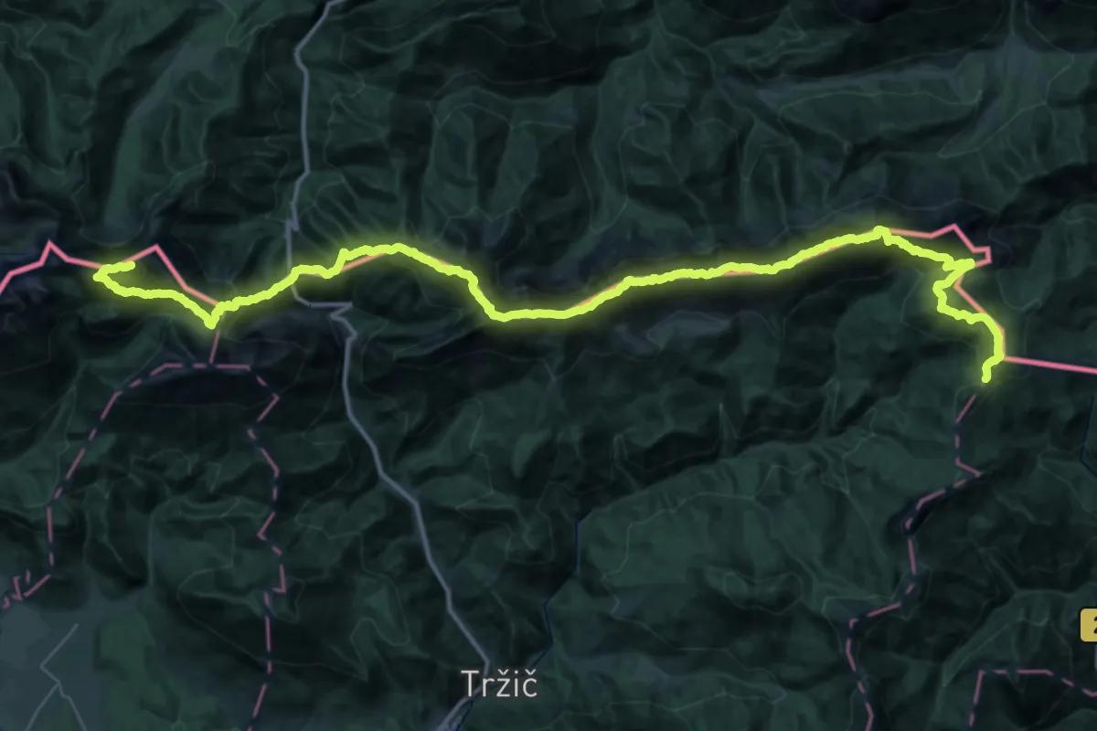
Tržiška planinska pot
54.1 km · ↑ 5676 m · 25 h 4 min · 14 km away
Medium · Summit
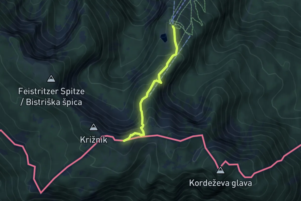
Kniepssteig
4.3 km · ↑ 400 m · 1 h 52 min · 14 km away
Expert · Summit
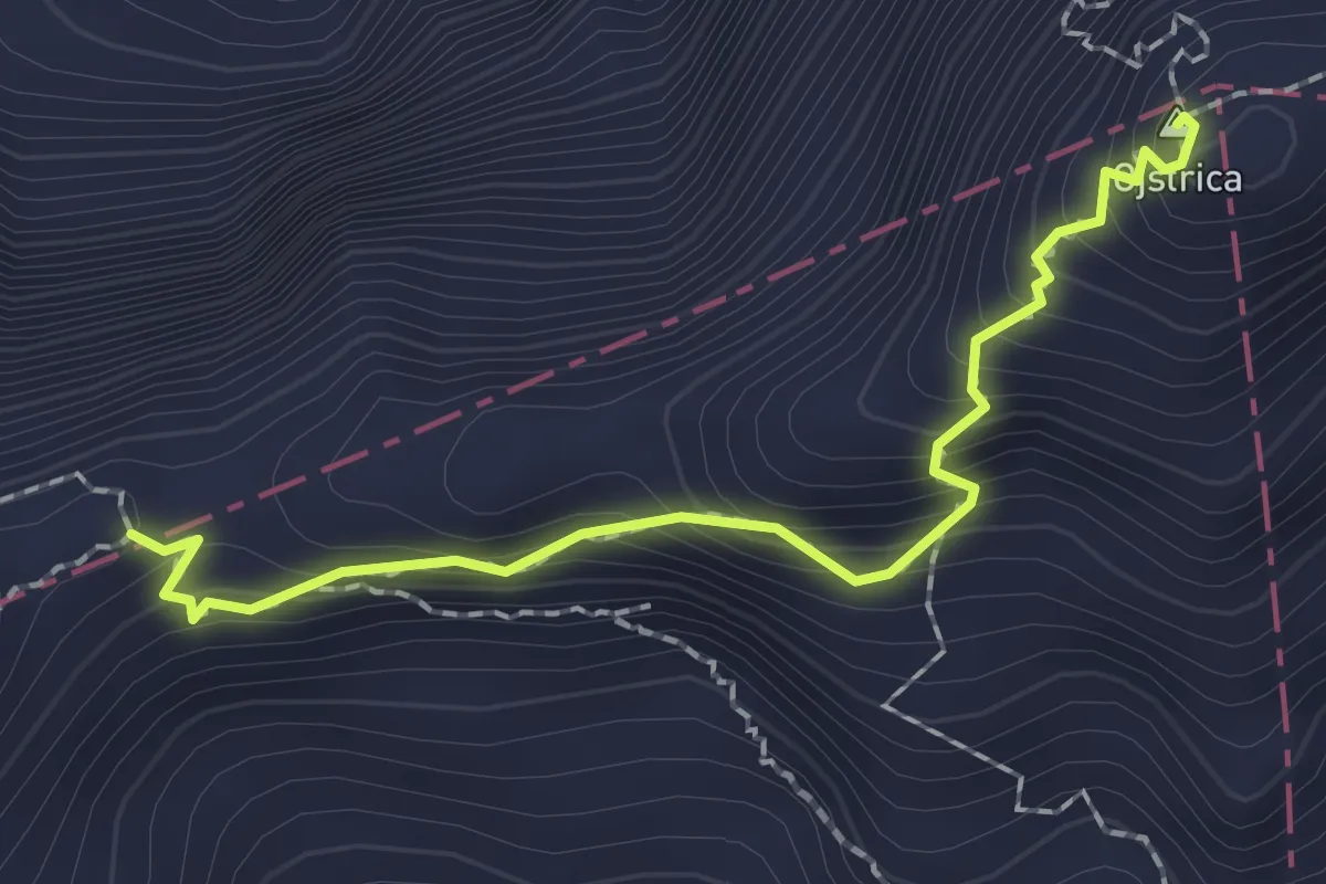
Ojstrica - Škarje
2.0 km · ↑ 278 m · 1 h 4 min · 14 km away
Demanding · Summit
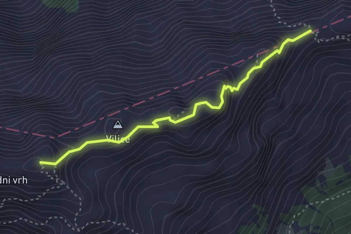
Škarje - Kamniško sedlo
3.2 km · ↑ 373 m · 1 h 34 min · 14 km away
Expert · Summit
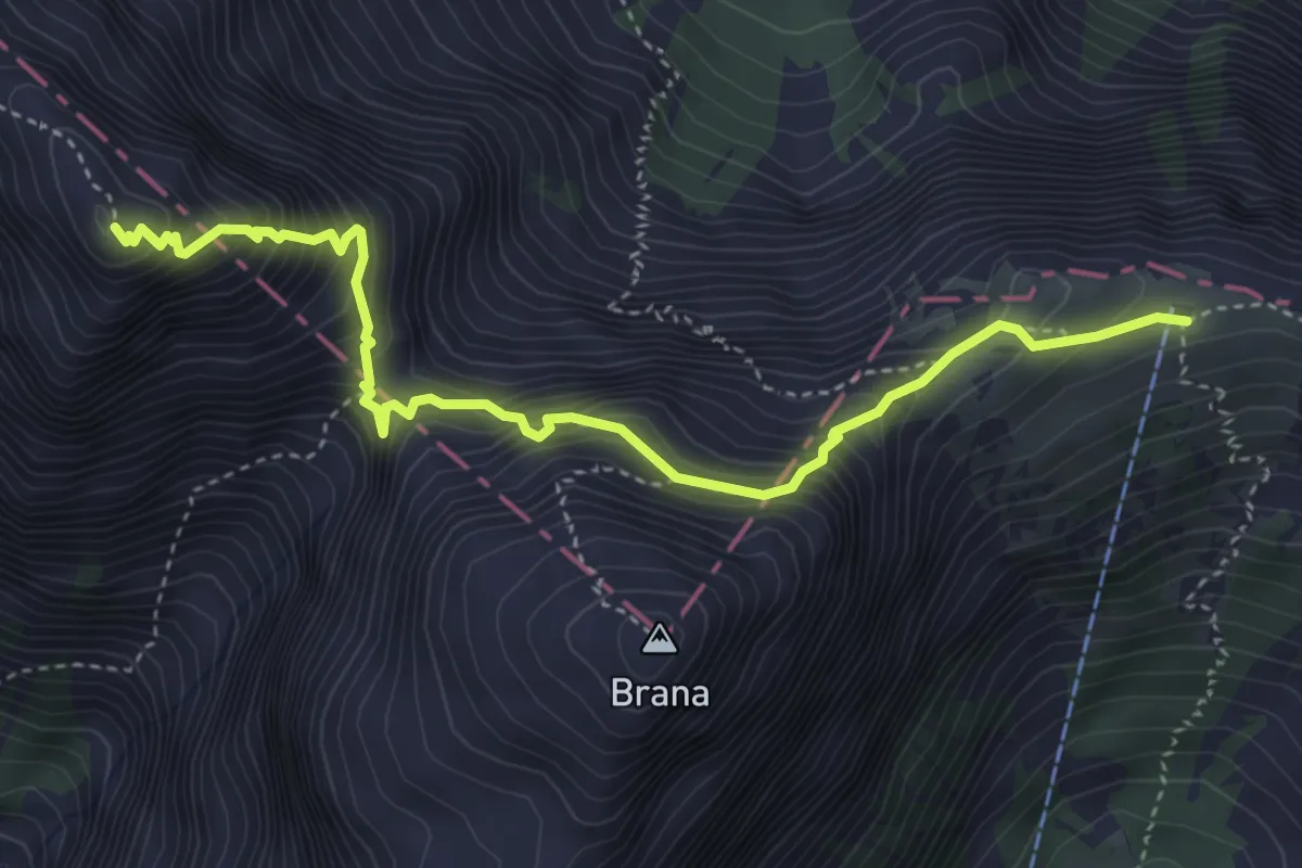
Kamniško sedlo - Turski žleb
4.5 km · ↑ 651 m · 2 h 29 min · 14 km away
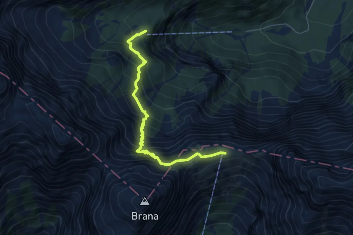
Demanding · Cabin
Okrešelj - Kamniško sedlo
5.4 km · ↑ 644 m · 2 h 41 min · 14 km away
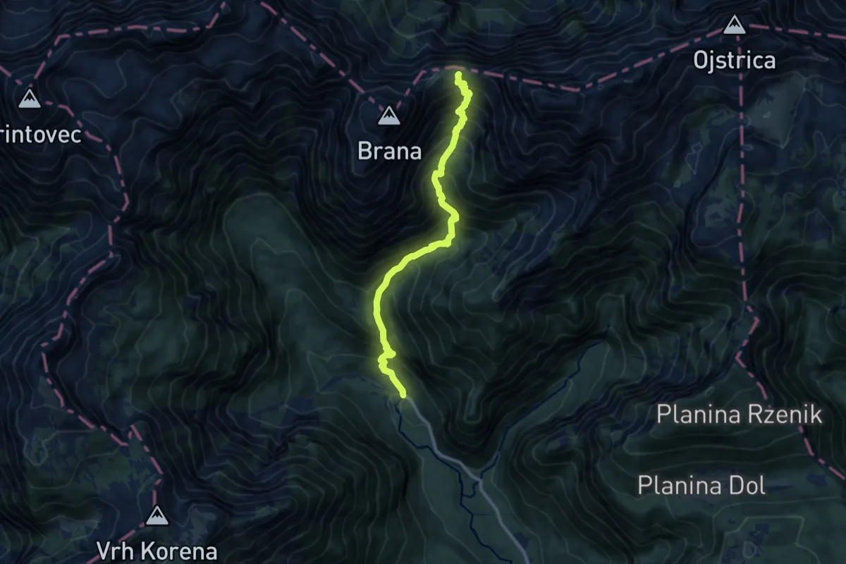
Demanding · Cabin
Kamniška Bistrica - Kamniško sedlo
10.3 km · ↑ 1289 m · 5 h 13 min · 14 km away
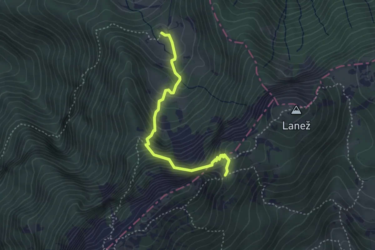
Demanding · Cabin
Koča v Grohotu - Durce
3.5 km · ↑ 458 m · 1 h 50 min · 14 km away
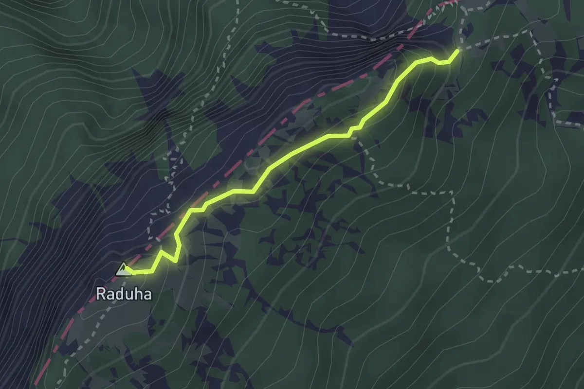
Easy · Summit
Durce - Raduha
2.3 km · ↑ 242 m · 1 h 5 min · 14 km away
Medium · Cabin
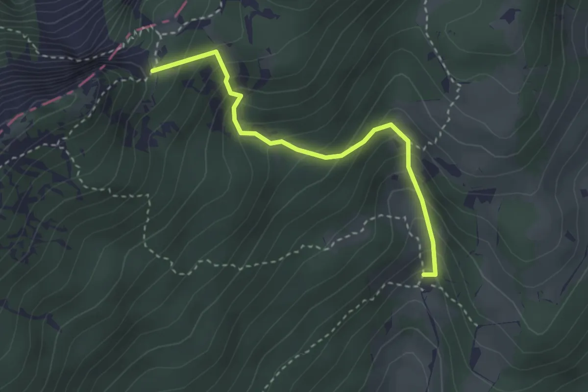
Koča na Loki - Durce
2.9 km · ↑ 338 m · 1 h 25 min · 14 km away
Expert · Cabin
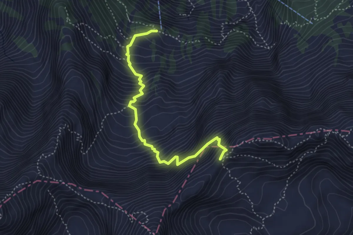
Frischaufova pot
4.1 km · ↑ 816 m · 2 h 43 min · 14 km away
Medium · Trail
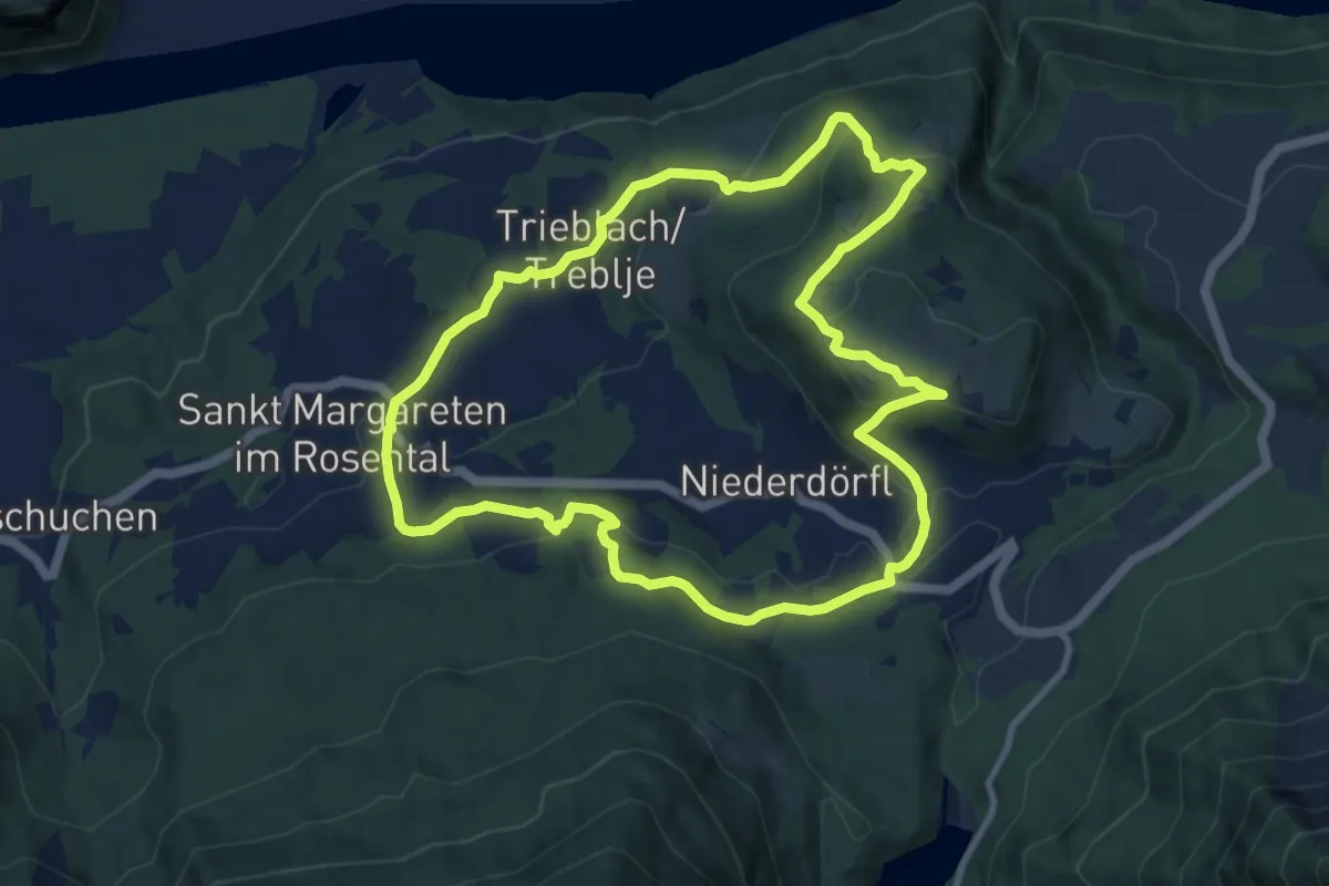
"Tafelberg" Panoramarunde
9.8 km · ↑ 313 m · 3 h 8 min · 14 km away
Medium · Cabin
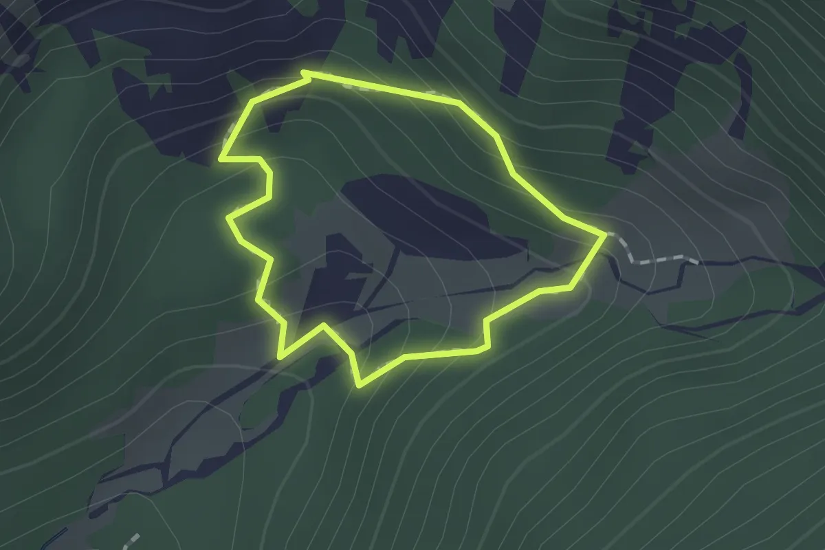
Orlova pot
1.1 km · ↑ 106 m · 31 min · 15 km away
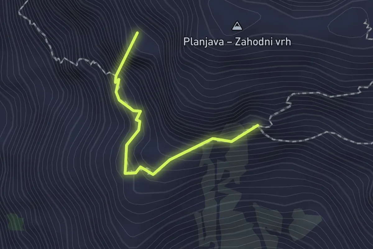
Demanding · Summit
Korošica - Kamniško sedlo
1.4 km · ↑ 325 m · 1 h 3 min · 15 km away
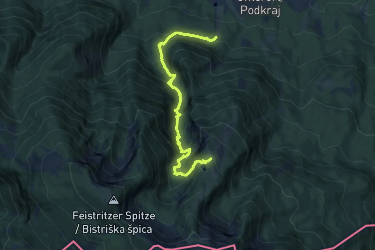
Demanding · Trail
Krischasteig
10.6 km · ↑ 989 m · 4 h 39 min · 15 km away
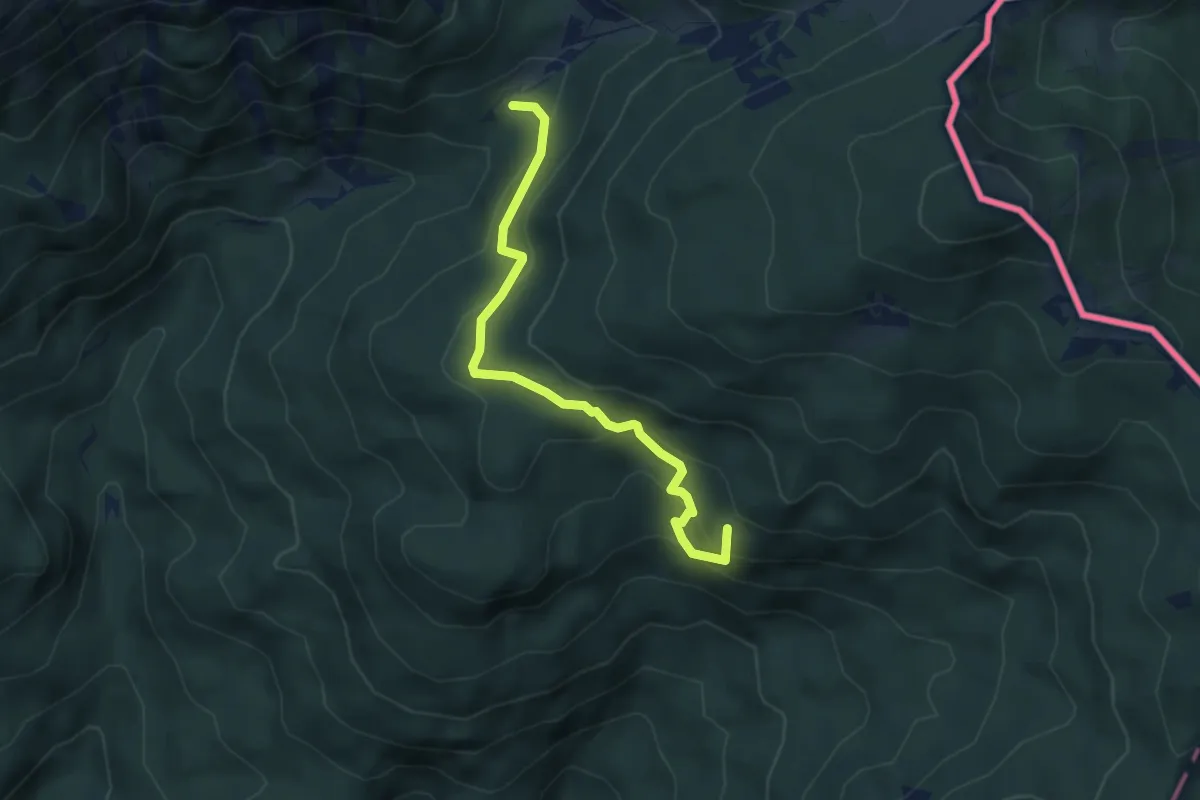
Medium · Summit
Dolga njiva - Pl. Brsnina
4.4 km · ↑ 327 m · 1 h 44 min · 15 km away
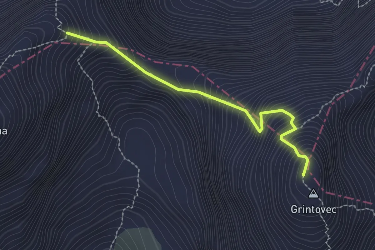
Expert · Summit
Špremova pot
2.2 km · ↑ 444 m · 1 h 29 min · 15 km away
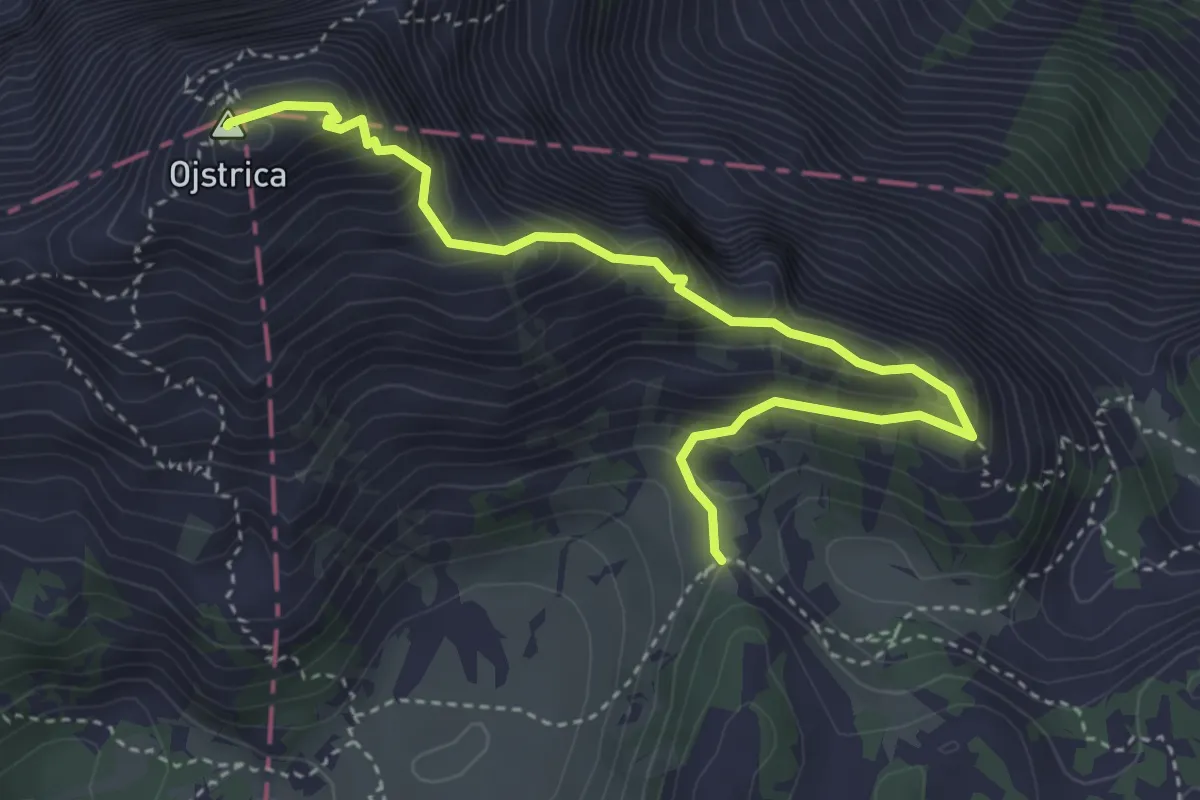
Expert · Summit
Na Ojstrico preko Male Ojstrice
4.3 km · ↑ 486 m · 2 h 5 min · 15 km away