Trails near Bleiburg/Pliberk
66 hikes starting within 15 km, nearest first.
Nearest first, page 1 of 2
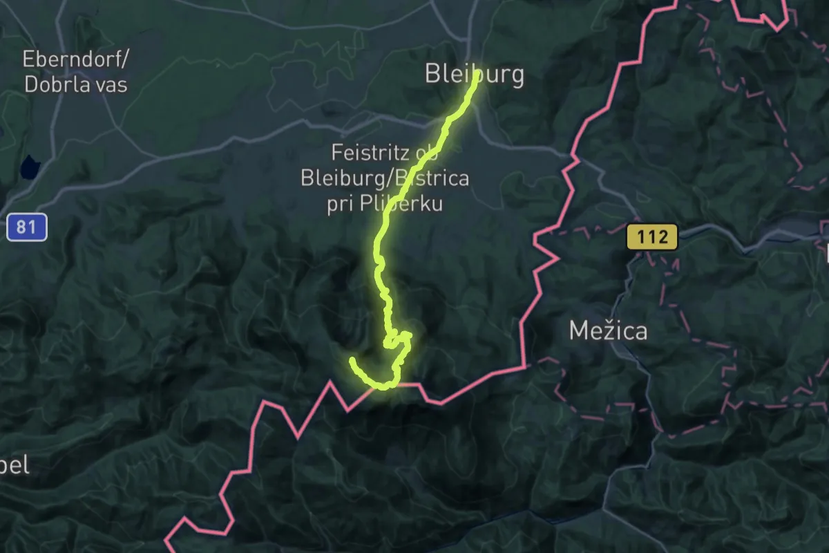
Demanding · Summit
Via Alpina Purple A12
31.6 km · ↑ 1908 m · 11 h 36 min · under 1 km away
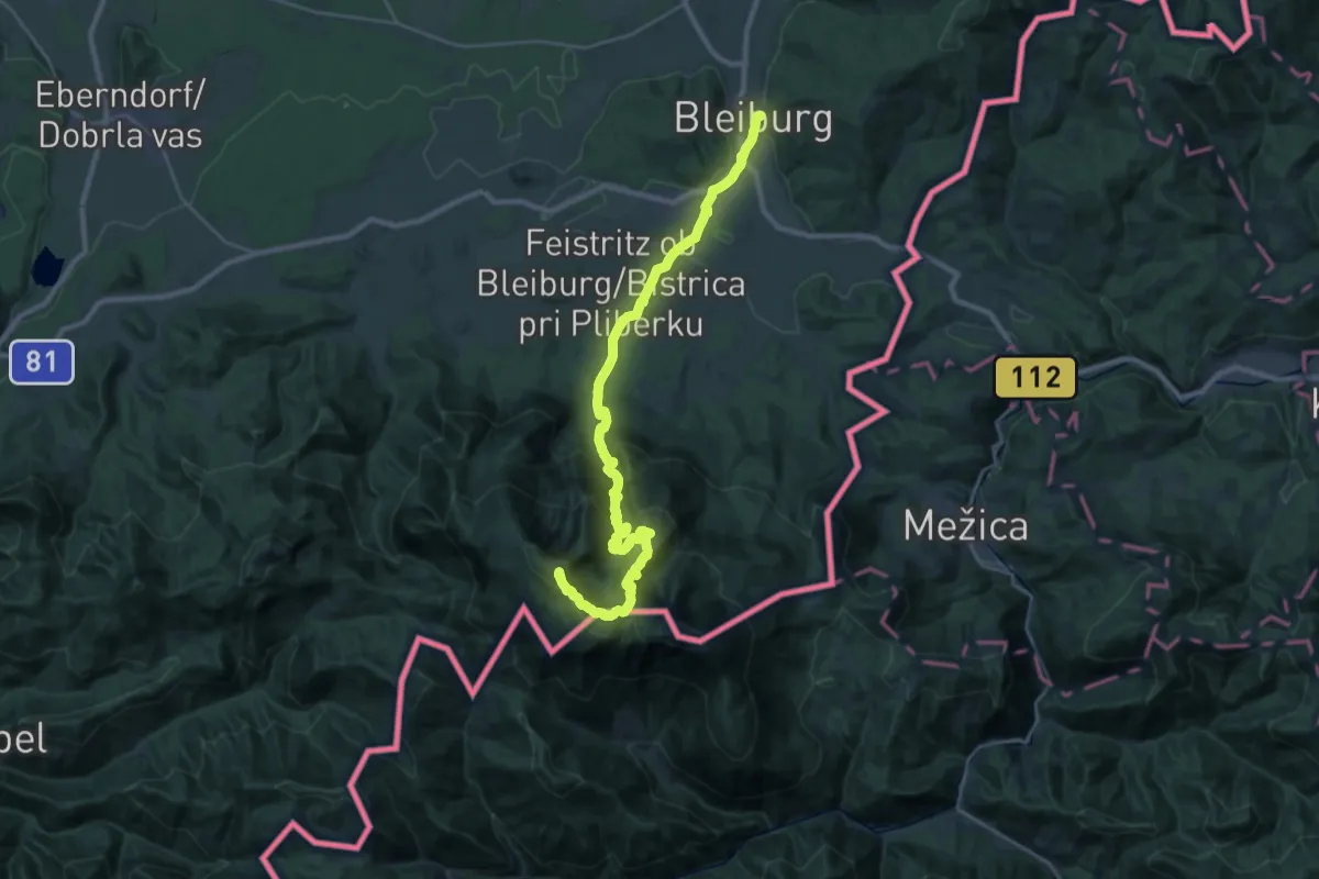
Demanding · Summit
Panoramaweg Südalpen 13
31.7 km · ↑ 1889 m · 11 h 35 min · under 1 km away
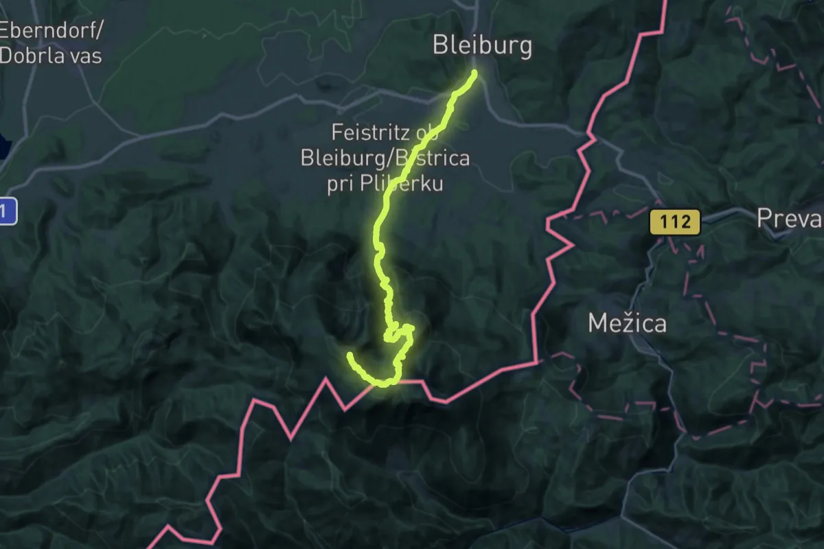
Demanding · Summit
Südalpenweg 03 - Etappe 8
29.8 km · ↑ 1886 m · 11 h 8 min · 1 km away
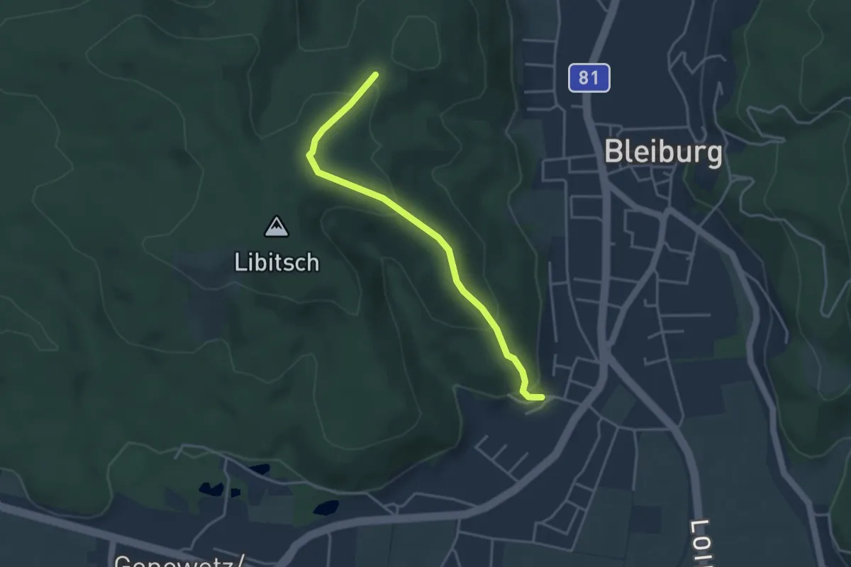
Easy · Trail
Nauerschnigweg
3.6 km · ↑ 162 m · 1 h 12 min · 1 km away
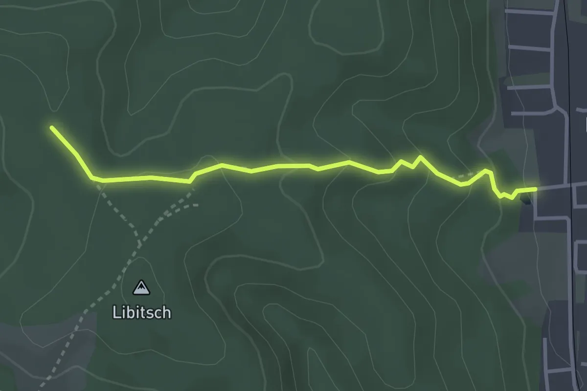
Medium · Trail
Lettenstättenweg
2.9 km · ↑ 138 m · 59 min · 2 km away
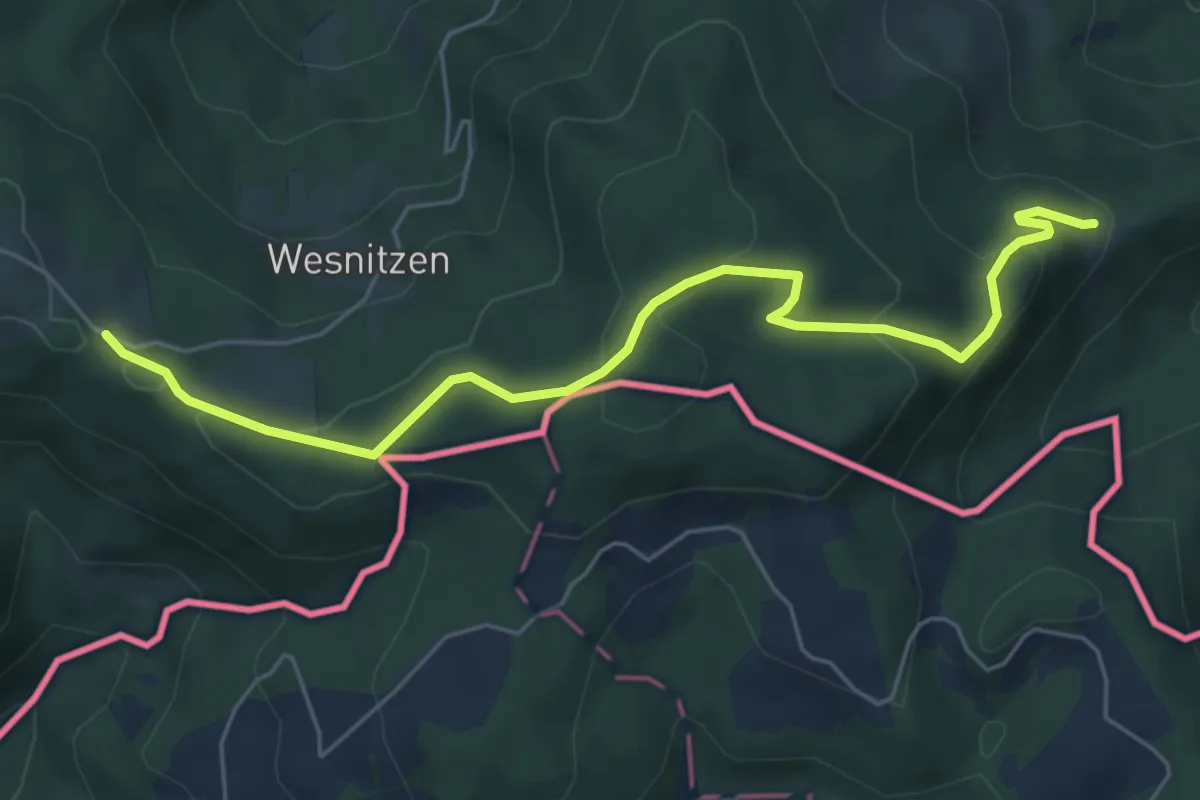
Easy · Trail
Via Alpina Purple A13
6.0 km · ↑ 210 m · 1 h 52 min · 6 km away
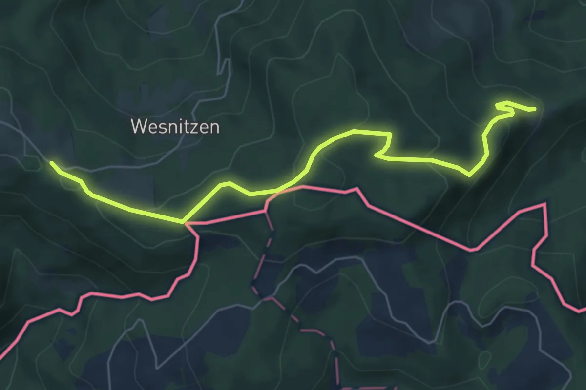
Easy · Trail
Panoramaweg Südalpen 14
6.0 km · ↑ 210 m · 1 h 52 min · 6 km away
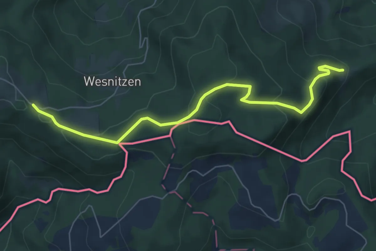
Easy · Trail
Südalpenweg 03 - Etappe 7
6.0 km · ↑ 210 m · 1 h 52 min · 6 km away
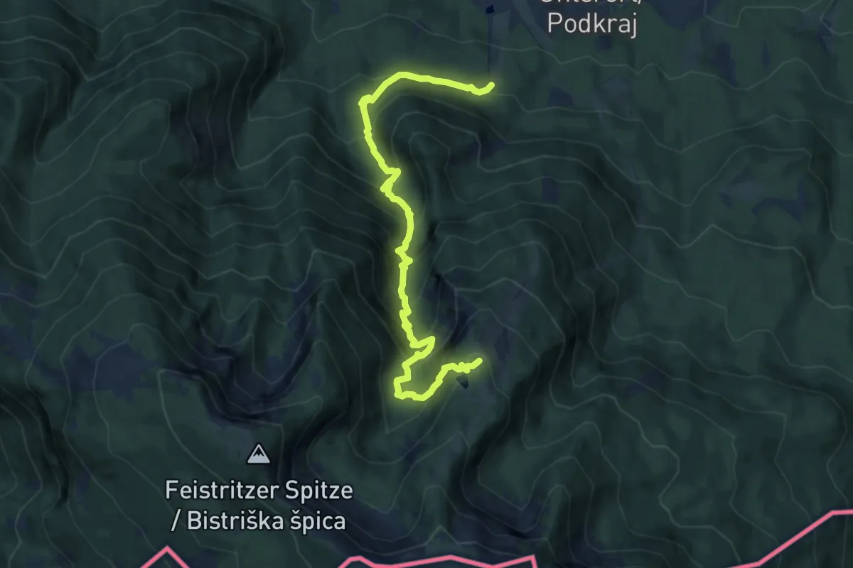
Demanding · Trail
Krischasteig
10.6 km · ↑ 989 m · 4 h 39 min · 6 km away
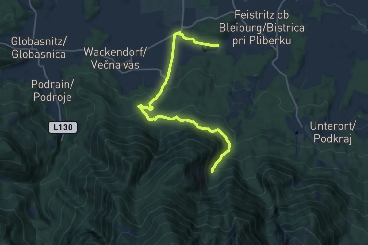
Easy · Trail
Unterbergenweg
6.3 km · ↑ 45 m · 1 h 51 min · 7 km away
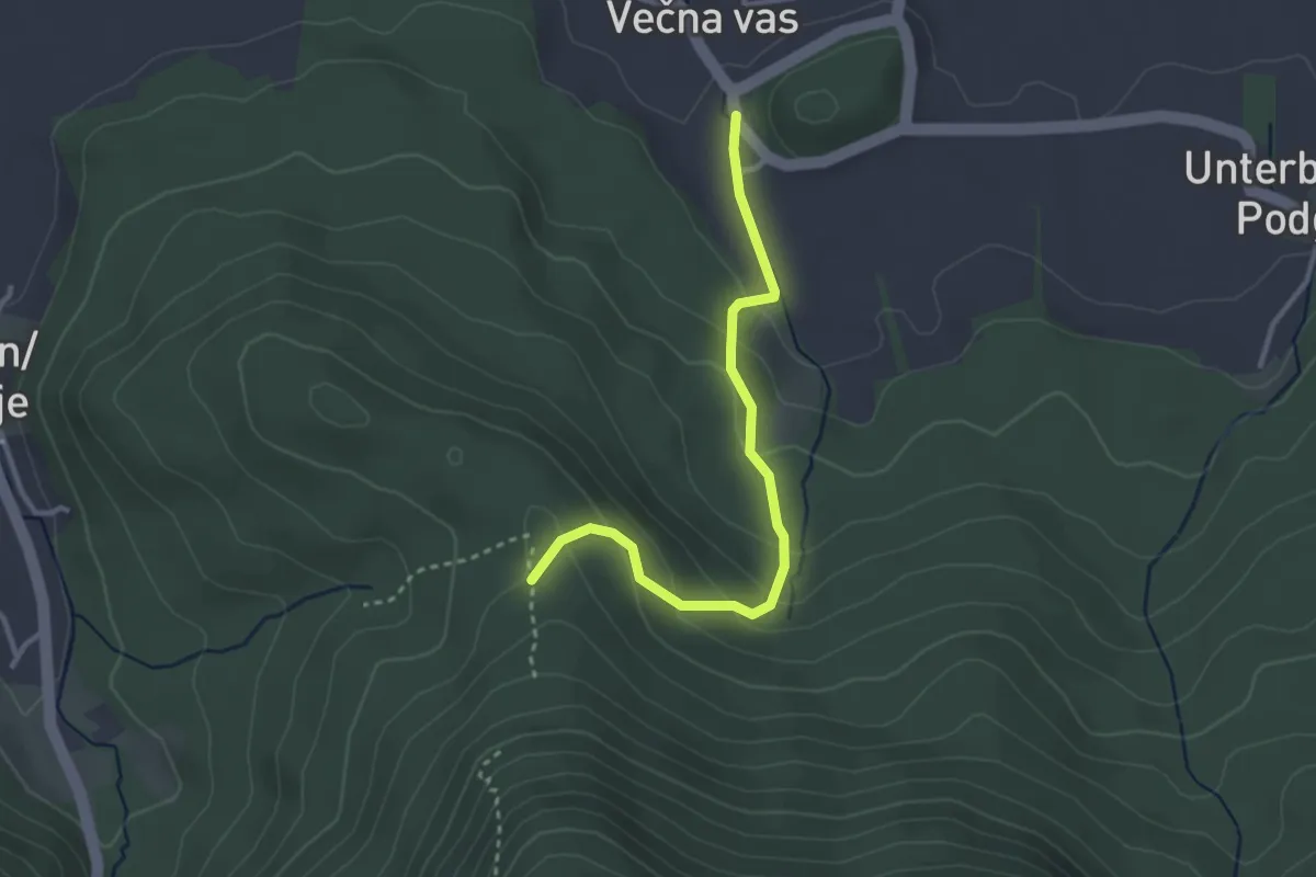
Easy · Trail
Wackendorf – Abz. 640
3.0 km · ↑ 173 m · 1 h 5 min · 8 km away
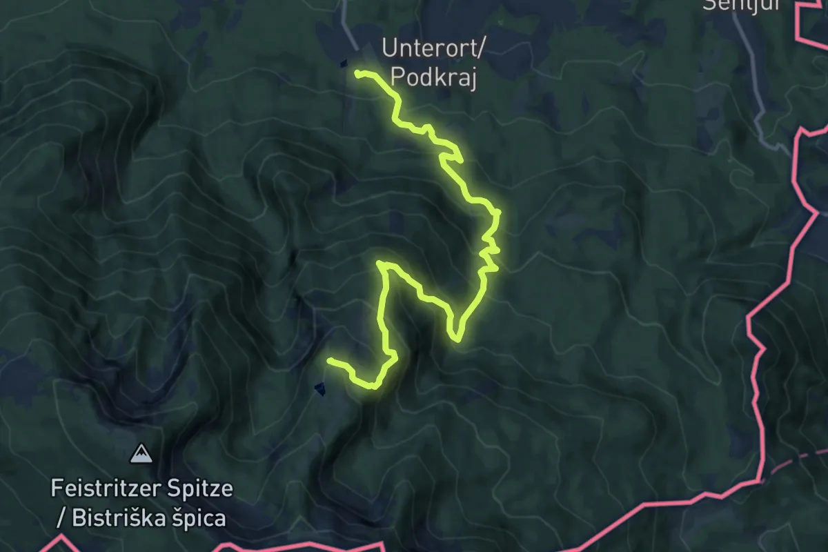
Demanding · Trail
Wandervogel
13.2 km · ↑ 1061 m · 5 h 25 min · 8 km away
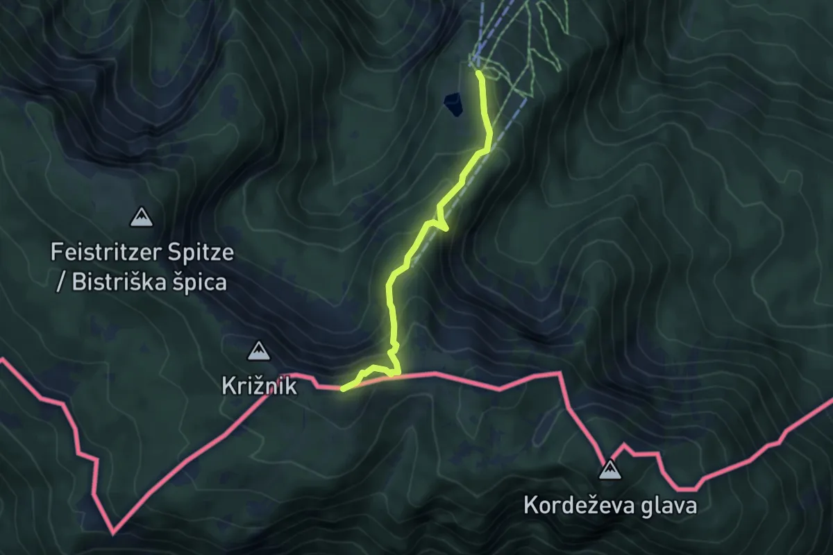
Medium · Summit
Kniepssteig
4.3 km · ↑ 400 m · 1 h 52 min · 8 km away
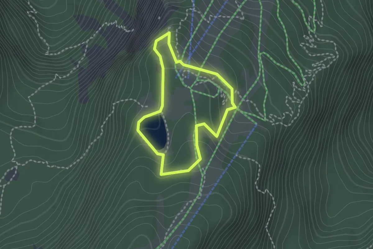
Medium · Trail
Siebenhüttenweg
1.5 km · ↑ 64 m · 31 min · 8 km away
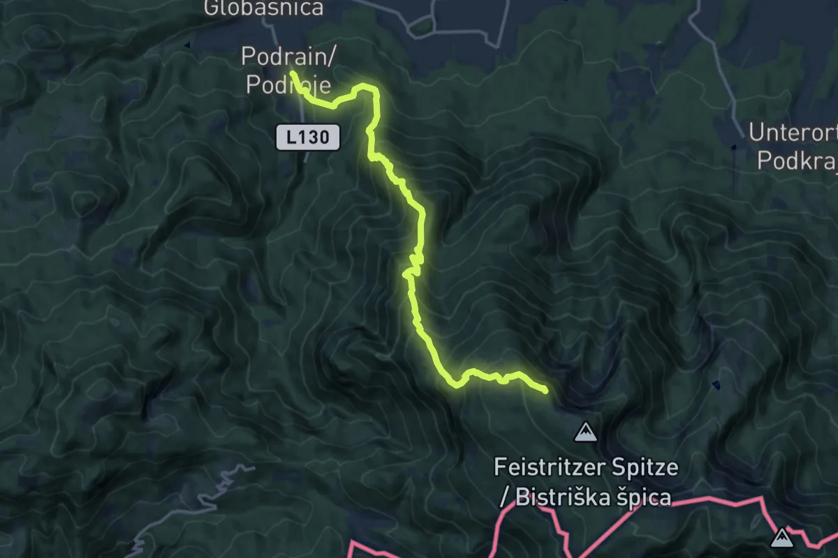
Demanding · Summit
Wanderweg 640
14.4 km · ↑ 1510 m · 6 h 41 min · 8 km away
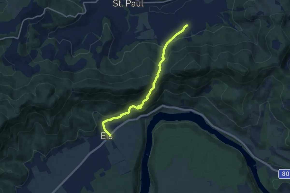
Medium · Trail
Wanderweg 335
7.7 km · ↑ 454 m · 2 h 48 min · 9 km away
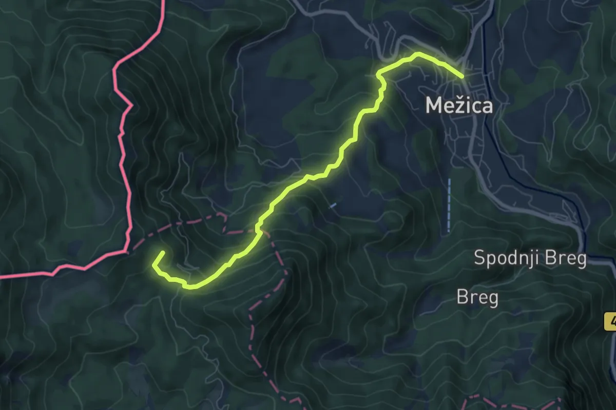
Medium · Summit
031 ~ Pot kurirjev in vezistov NOV Slovenije
7.4 km · ↑ 582 m · 3 h 1 min · 9 km away
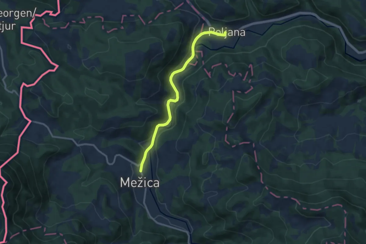
Easy · Trail
030 ~ Pot kurirjev in vezistov NOV Slovenije
7.5 km · ↑ 219 m · 2 h 15 min · 9 km away
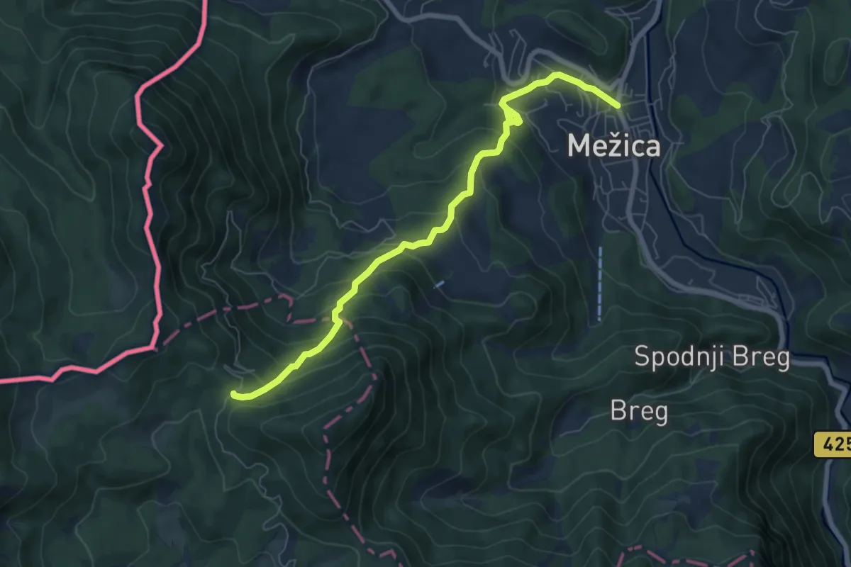
Medium · Trail
Mežica-Štenge
7.1 km · ↑ 579 m · 2 h 56 min · 9 km away
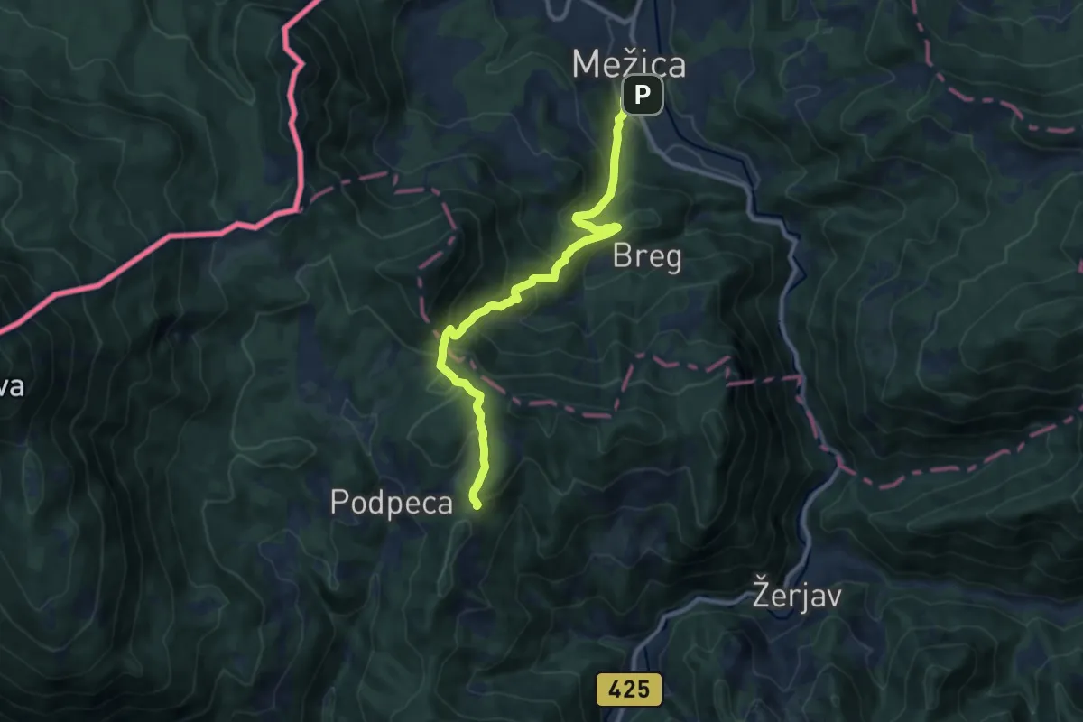
Medium · Cabin
Mežica-Koča na Pikovem
9.9 km · ↑ 631 m · 3 h 43 min · 9 km away
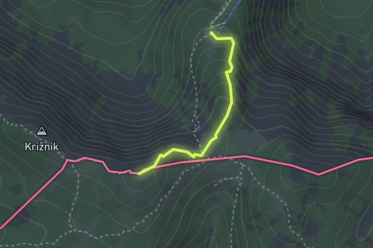
Medium · Summit
Hochpetzensteig
2.0 km · ↑ 201 m · 54 min · 9 km away
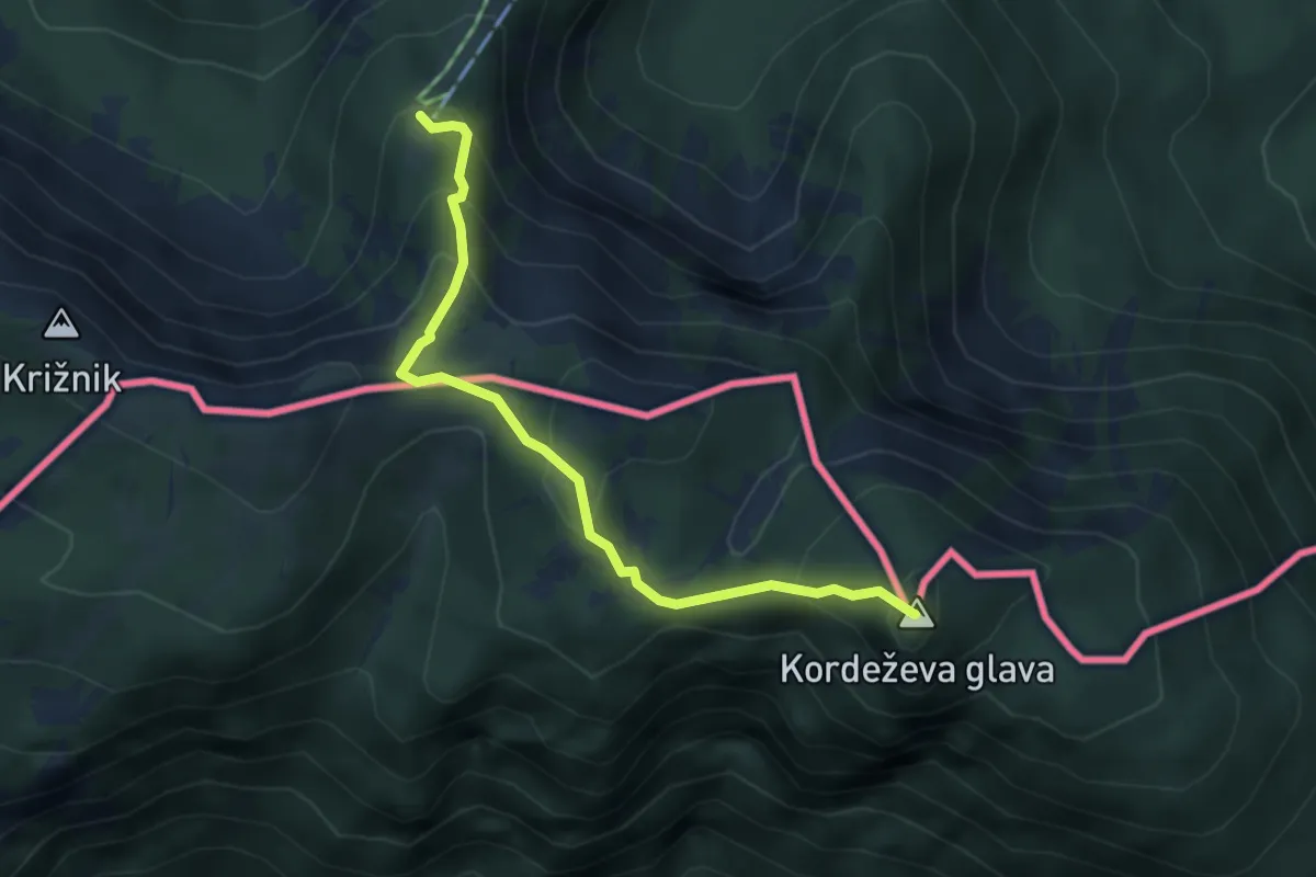
Medium · Summit
Kordeschkopfsteig
3.9 km · ↑ 325 m · 1 h 38 min · 9 km away
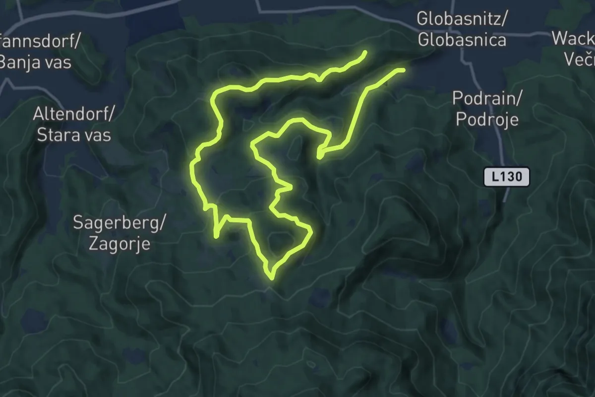
Demanding · Trail
Wanderweg G2
21.1 km · ↑ 875 m · 6 h 52 min · 9 km away
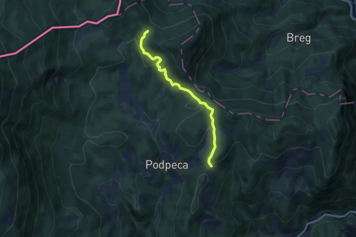
Easy · Cabin
Štenge-Koča na Pikovem
5.8 km · ↑ 204 m · 1 h 48 min · 9 km away
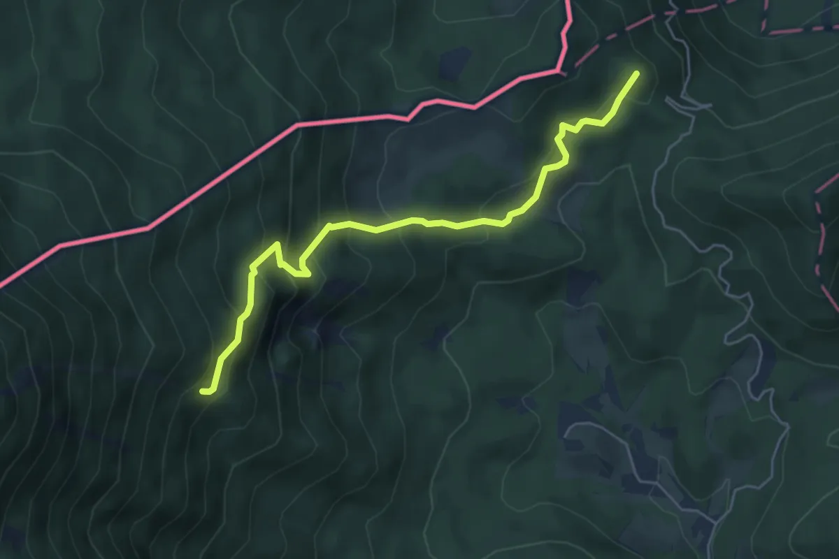
Medium · Summit
Štenge-Ninotova koča
5.3 km · ↑ 439 m · 2 h 12 min · 10 km away
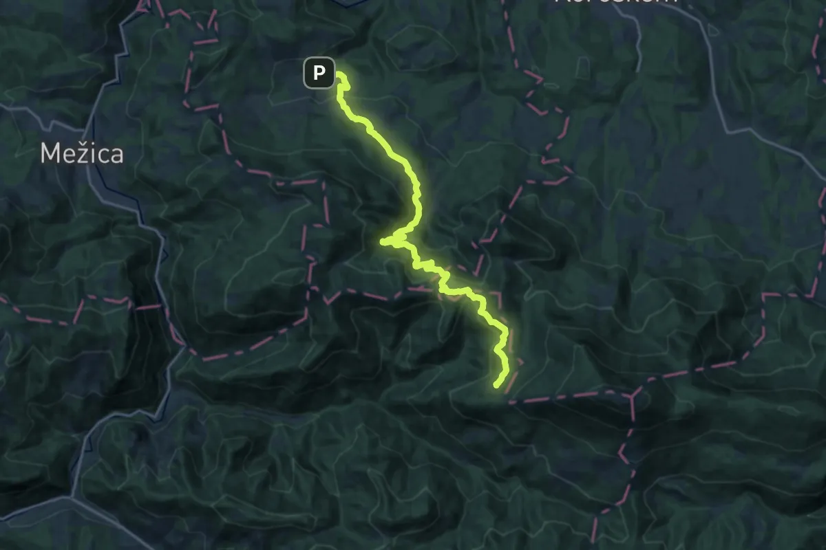
Demanding · Cabin
028 ~ Pot kurirjev in vezistov NOV Slovenije
17.9 km · ↑ 920 m · 6 h 13 min · 10 km away
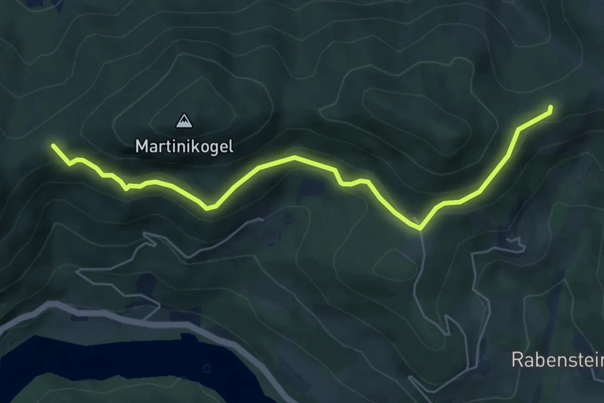
Medium · Trail
Kärntner Mariazellerweg 306A
5.8 km · ↑ 252 m · 1 h 55 min · 10 km away
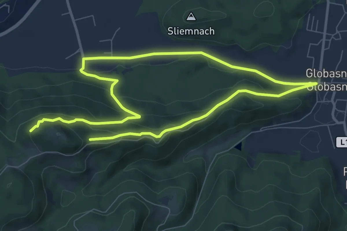
Medium · Summit
Wanderweg G1
6.5 km · ↑ 264 m · 2 h 12 min · 11 km away
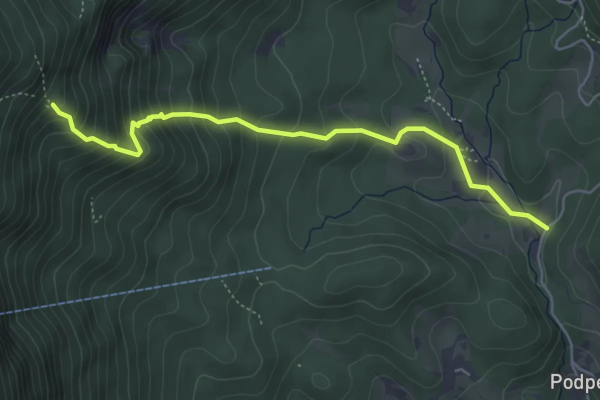
Medium · Trail
Podpeca-Ninotova koča
4.7 km · ↑ 469 m · 2 h 8 min · 11 km away
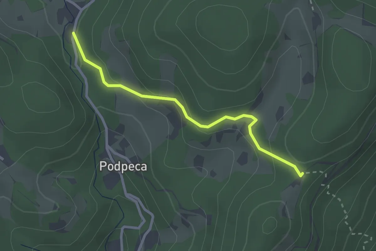
Easy · Cabin
Podpeca-Koča na Pikovem
2.4 km · ↑ 106 m · 47 min · 11 km away
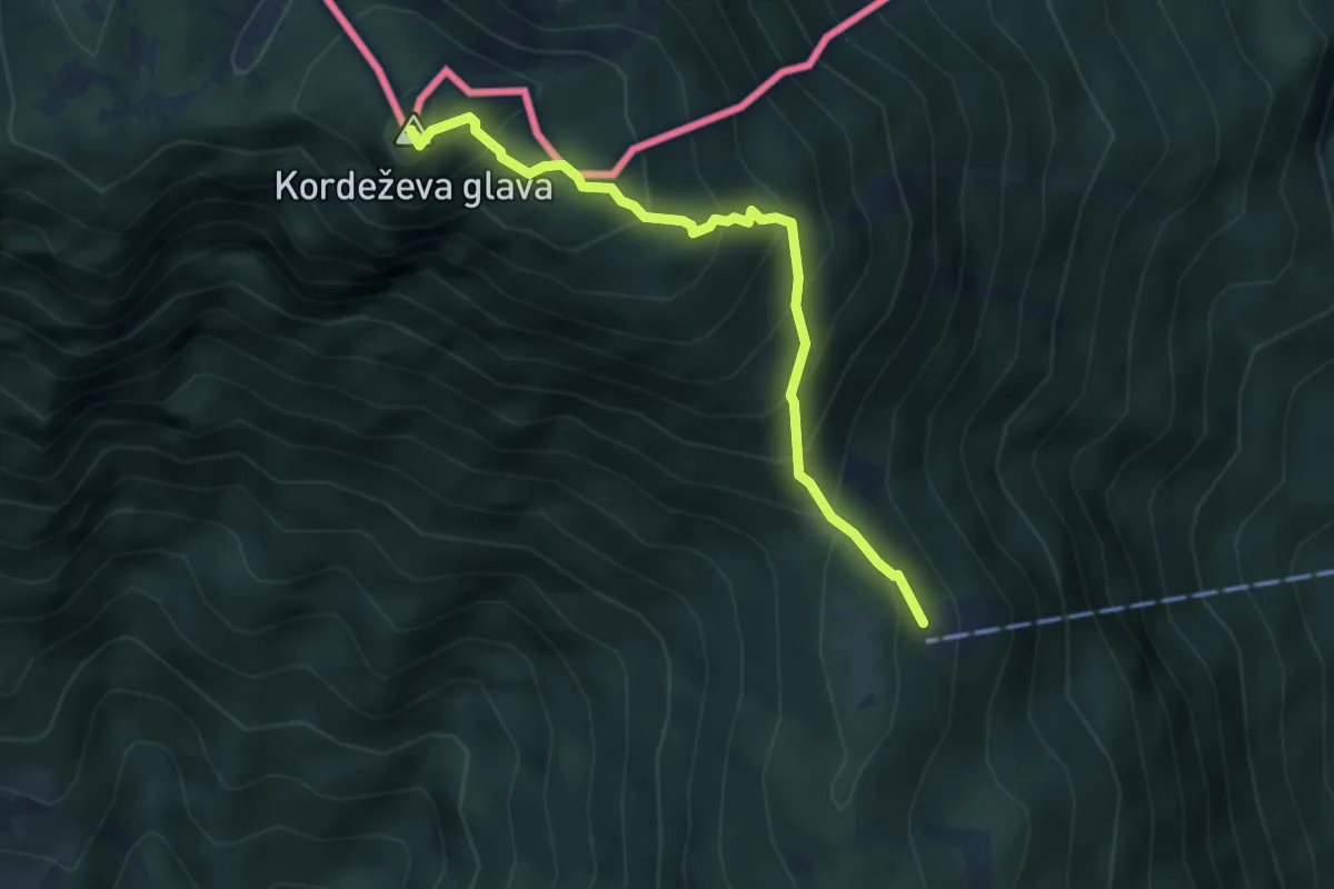
Medium · Summit
Planinski dom na Peci - Knepsovo sedlo
3.9 km · ↑ 469 m · 1 h 56 min · 11 km away
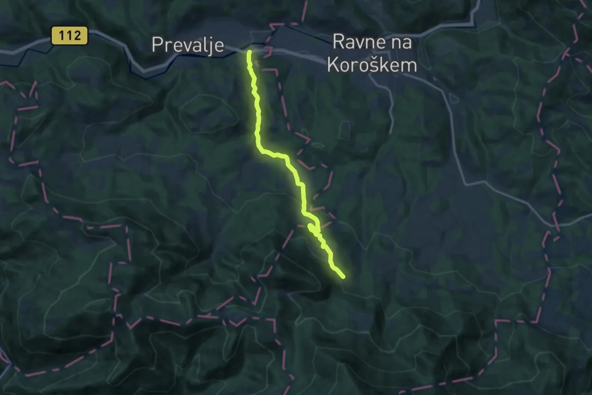
Medium · Cabin
Prevalje - Smučarska koča
11.2 km · ↑ 491 m · 3 h 43 min · 11 km away
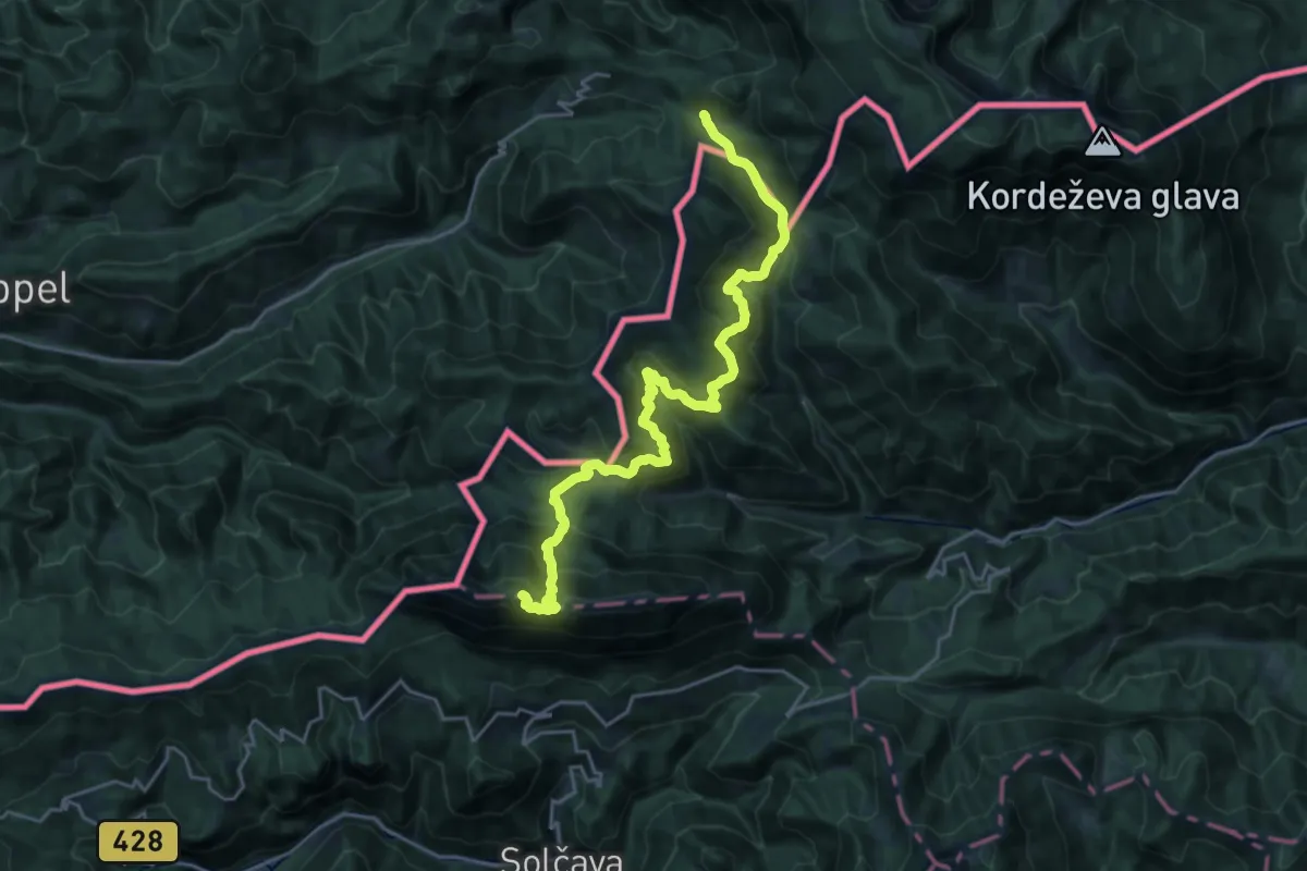
Demanding · Summit
Panoramaweg Südalpen 12
23.5 km · ↑ 1564 m · 8 h 57 min · 12 km away
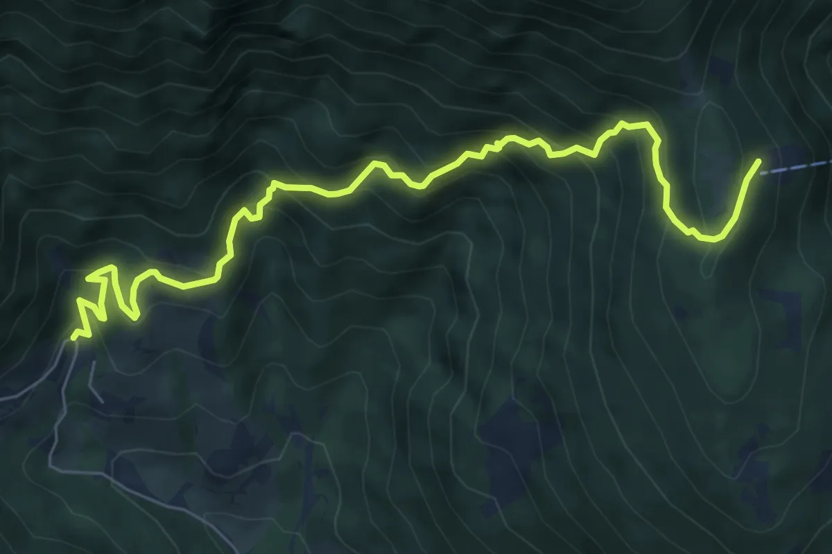
Medium · Cabin
Topla - Dom na Peci
7.9 km · ↑ 783 m · 3 h 33 min · 12 km away
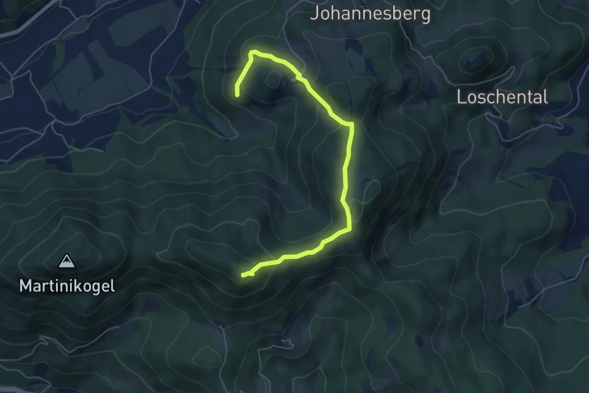
Demanding · Summit
Kulturwanderweg 3A
5.6 km · ↑ 315 m · 2 h 1 min · 12 km away
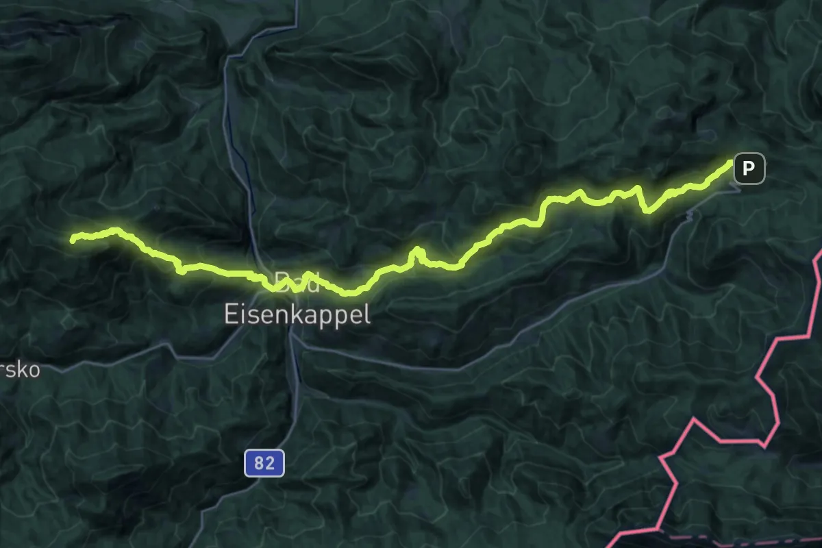
Demanding · Summit
Südalpenweg 03 - Etappe 9
32.5 km · ↑ 1989 m · 11 h 59 min · 12 km away
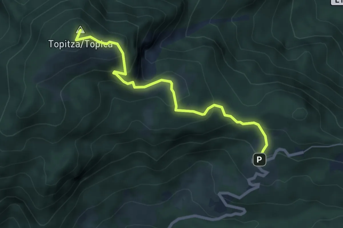
Medium · Summit
Wanderweg 641
5.2 km · ↑ 416 m · 2 h 7 min · 12 km away
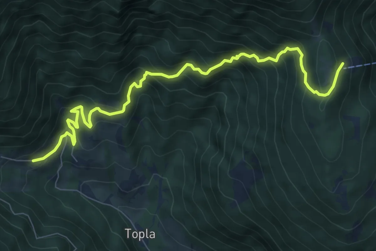
Demanding · Cabin
032 ~ Pot kurirjev in vezistov NOV Slovenije
8.9 km · ↑ 843 m · 3 h 56 min · 12 km away
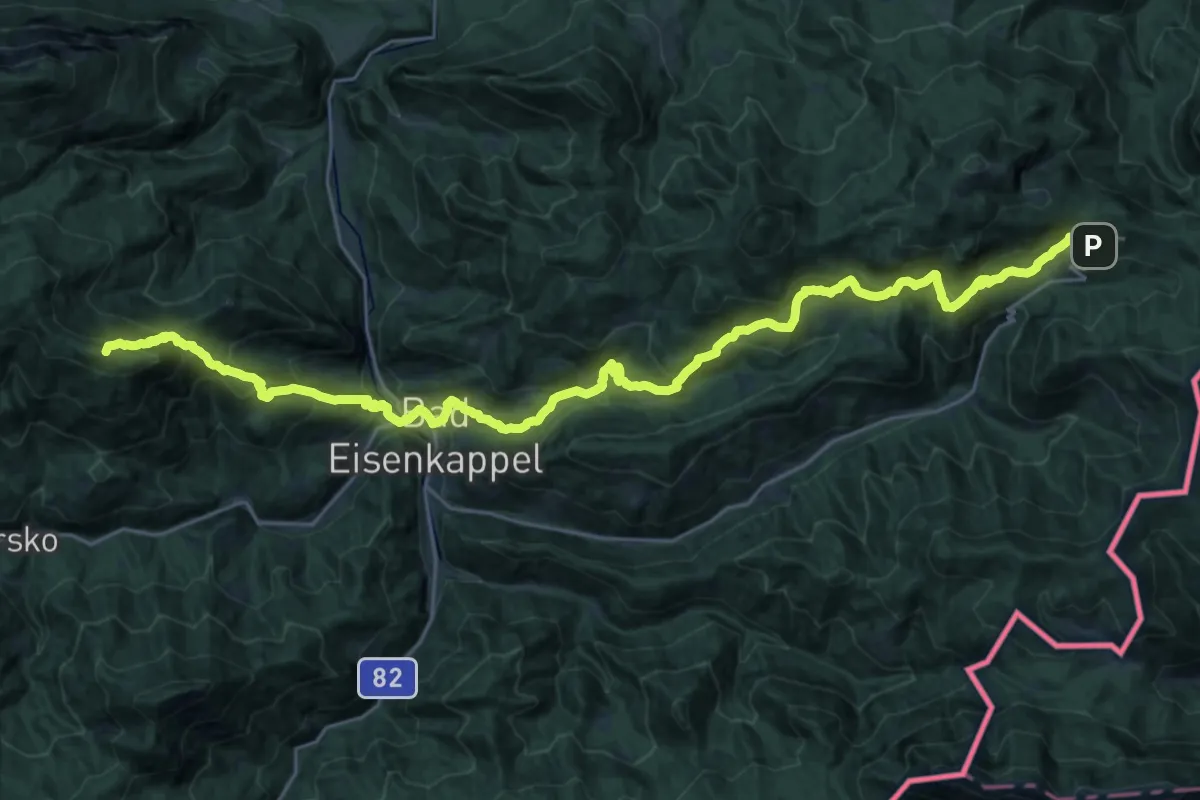
Demanding · Summit
Via Alpina Purple A11
32.2 km · ↑ 1971 m · 11 h 53 min · 12 km away
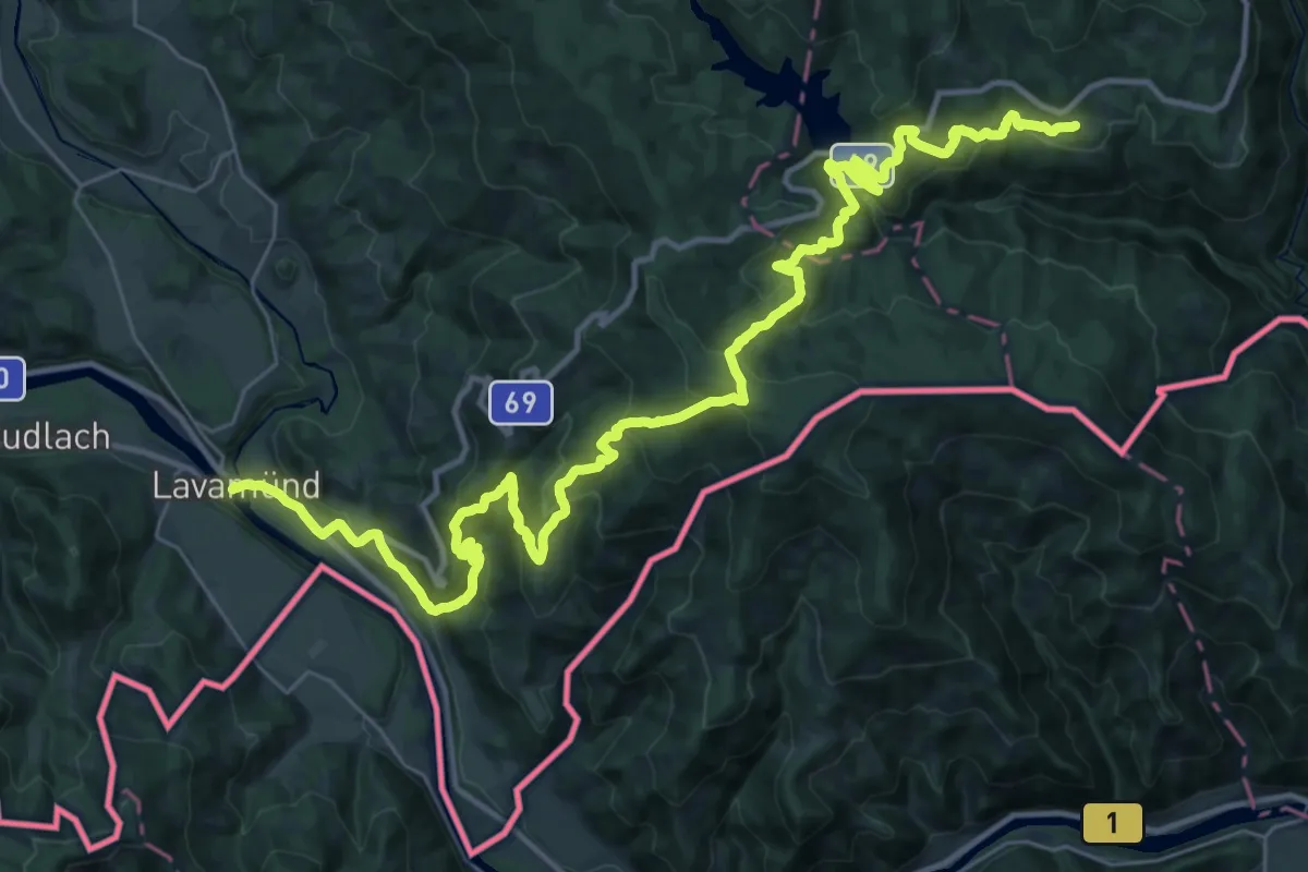
Demanding · Trail
Via Alpina Purple A14
21.5 km · ↑ 1401 m · 8 h 4 min · 12 km away
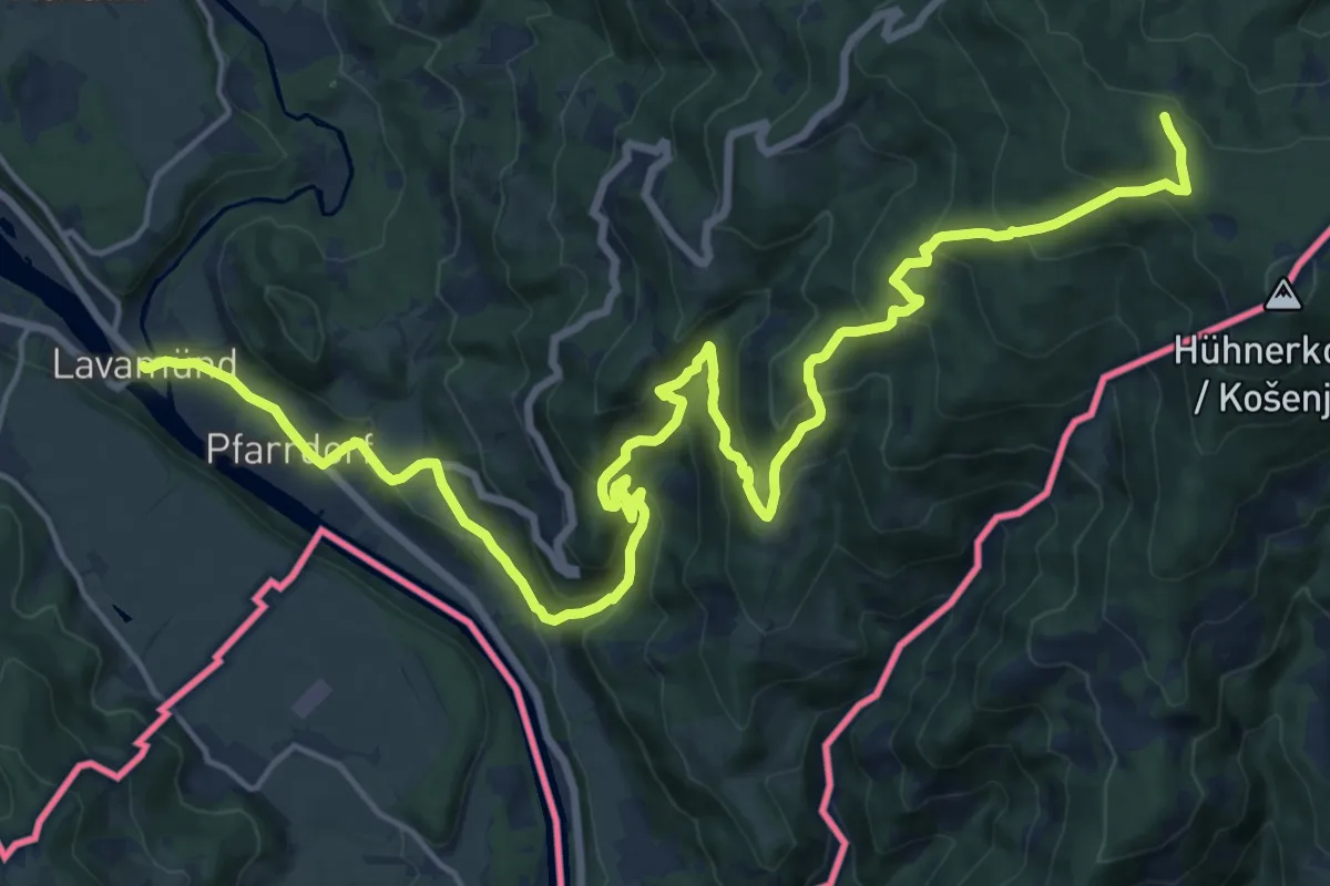
Demanding · Trail
Mariazellerweg 506
12.3 km · ↑ 1139 m · 5 h · 12 km away
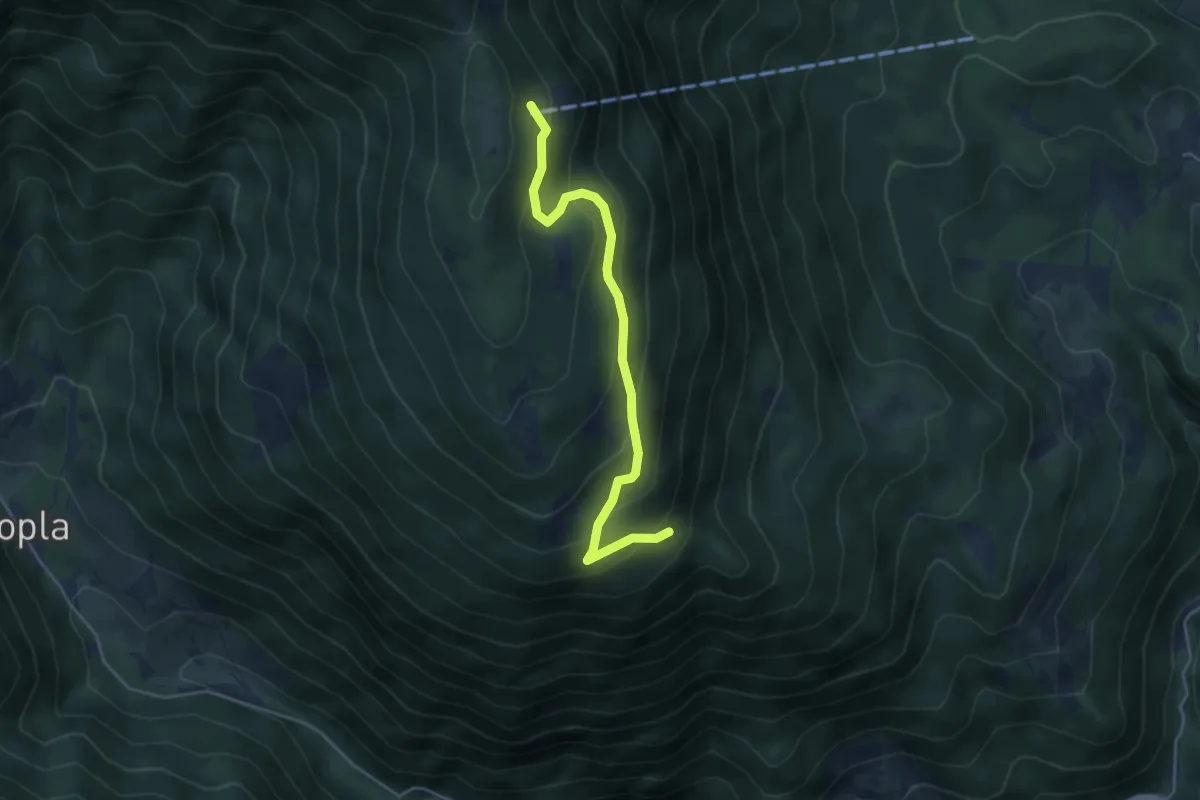
Medium · Cabin
parkirišče-Planinski dom na Peci
4.4 km · ↑ 302 m · 1 h 41 min · 12 km away
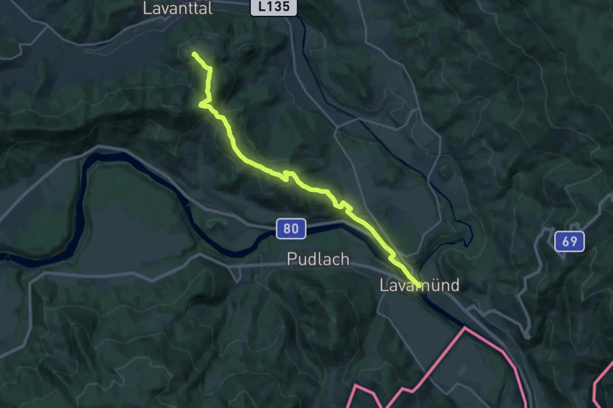
Demanding · Trail
Panoramaweg Südalpen 15
18.2 km · ↑ 575 m · 5 h 33 min · 12 km away
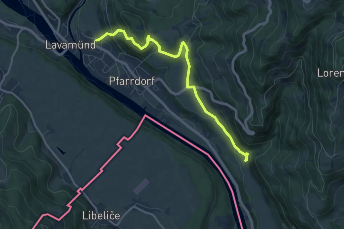
Medium · Trail
Wanderweg 2
7.9 km · ↑ 271 m · 2 h 27 min · 13 km away
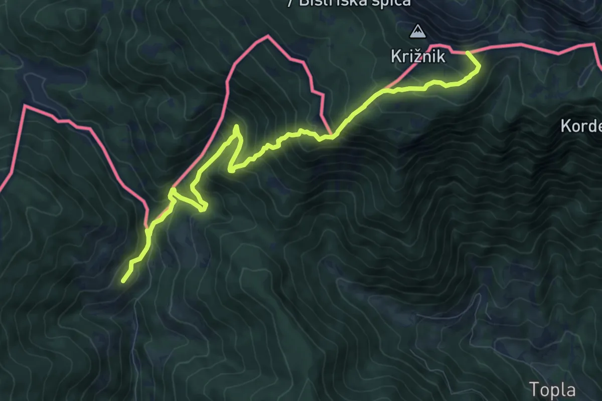
Demanding · Summit
Knepsovo sedlo-Kumer
10.8 km · ↑ 1027 m · 4 h 46 min · 13 km away
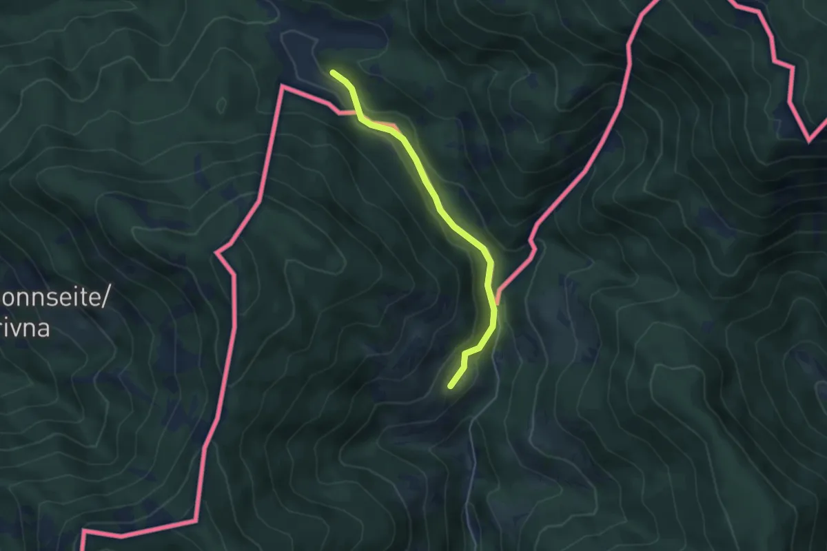
Easy · Trail
03 zu Kumer
3.9 km · ↑ 133 m · 1 h 13 min · 13 km away
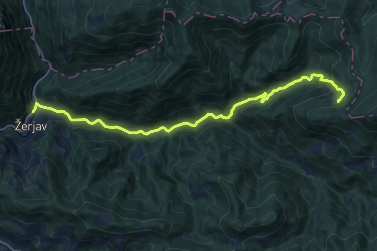
Medium · Cabin
Žerjav - Naravske ledine
13.7 km · ↑ 652 m · 4 h 39 min · 13 km away
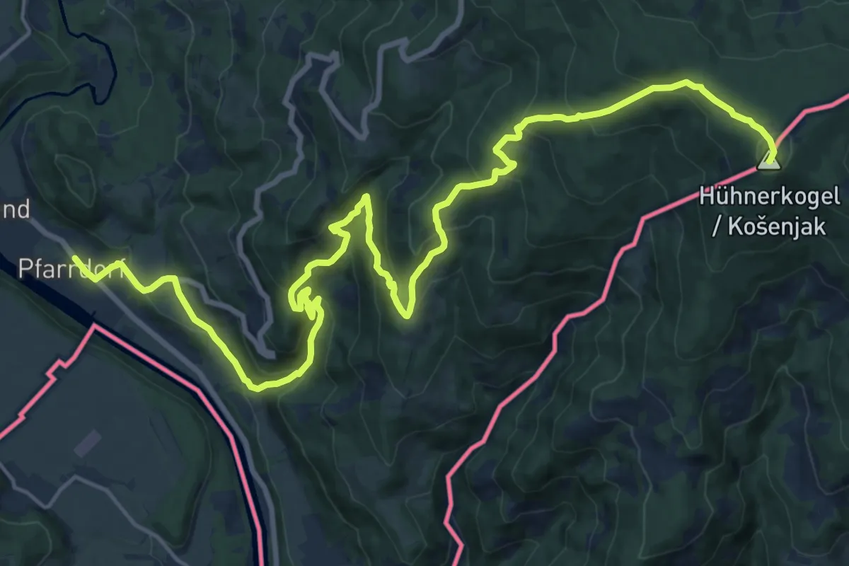
Demanding · Summit
Südalpenweg 03 - Etappe 6 ab Hühnerkogel
23.4 km · ↑ 1278 m · 8 h 18 min · 13 km away