Trails near Deutschlandsberg
162 hikes starting within 15 km, nearest first.
Nearest first, page 1 of 4
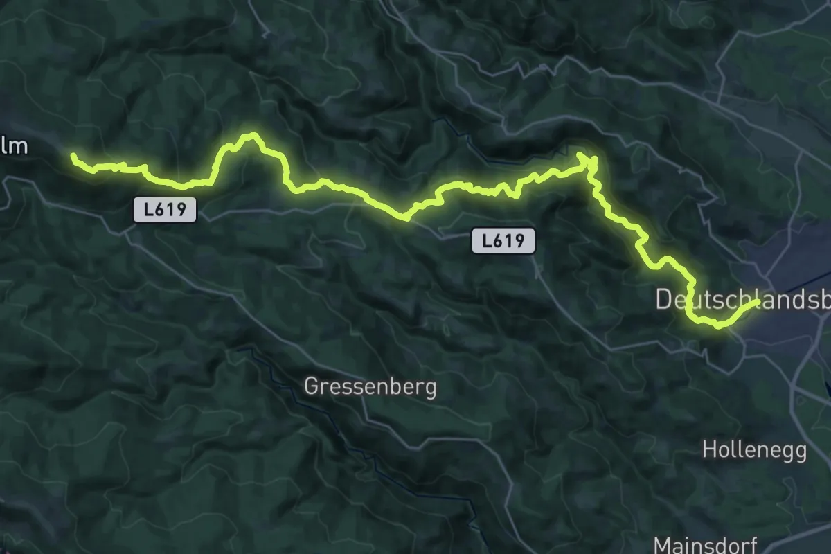
Demanding · Summit
Wanderweg 578
39.9 km · ↑ 1492 m · 12 h 39 min · under 1 km away
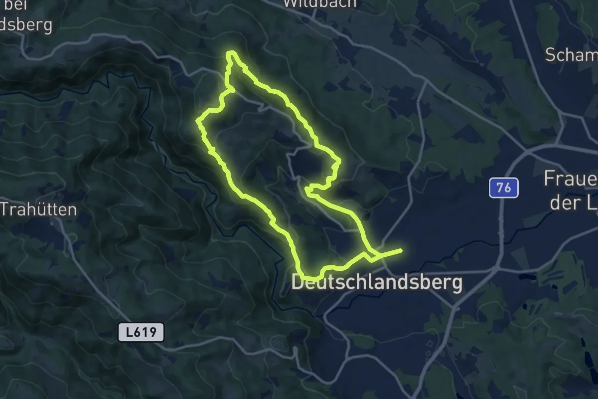
Medium · Trail
Wanderweg S
10.6 km · ↑ 470 m · 3 h 40 min · 1 km away
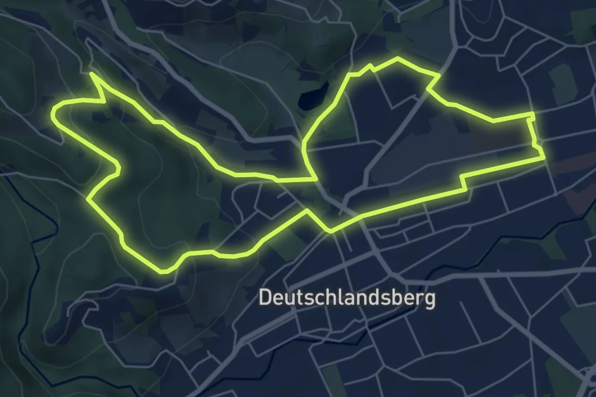
Easy · Trail
Scheidsberg-Rundweg
6.4 km · ↑ 175 m · 1 h 59 min · 1 km away
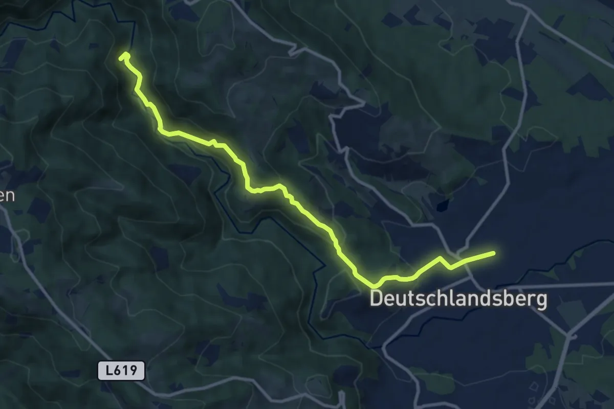
Medium · Trail
Wanderweg 578B
10.4 km · ↑ 340 m · 3 h 12 min · 1 km away
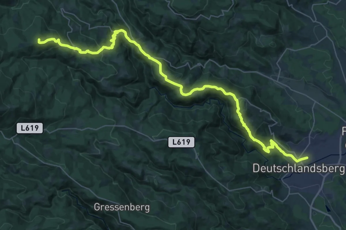
Demanding · Summit
Wanderweg 553
35.5 km · ↑ 1492 m · 11 h 37 min · 1 km away
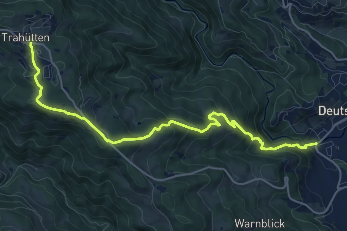
Medium · Trail
Wanderweg 13
12.1 km · ↑ 635 m · 4 h 13 min · 1 km away
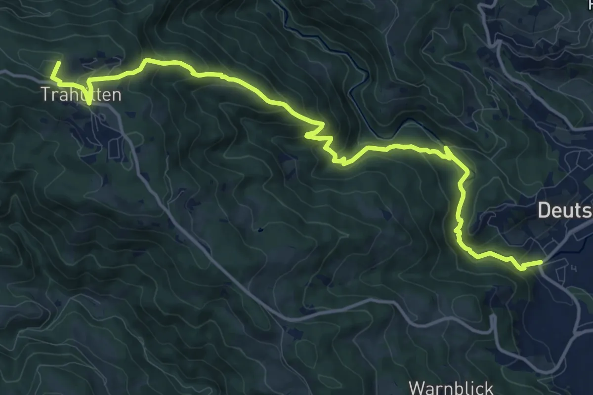
Medium · Summit
Wanderweg 14
13.6 km · ↑ 739 m · 4 h 49 min · 1 km away
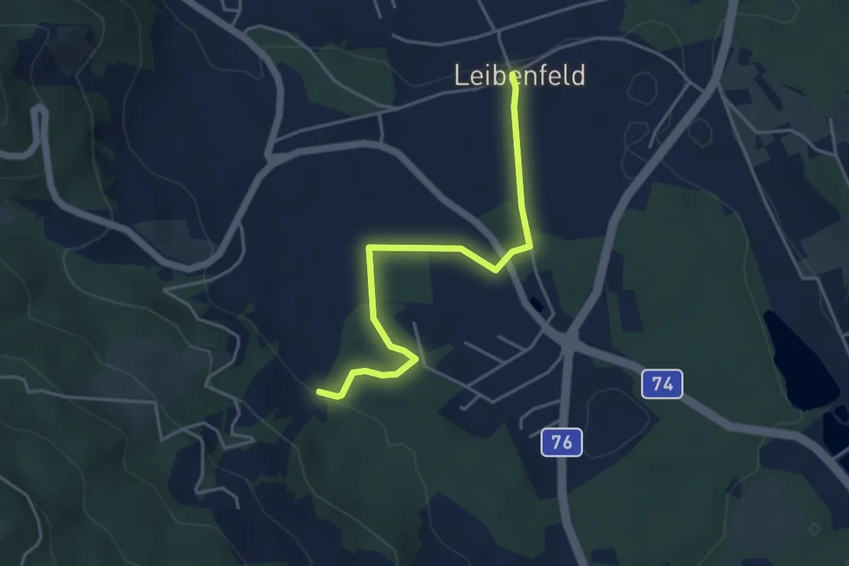
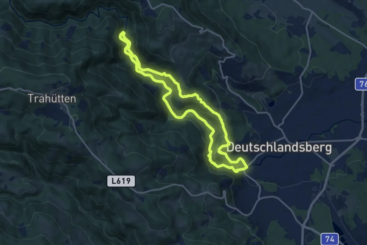
Easy · Trail
Seniorenrundweg
3.7 km · ↑ 43 m · 58 min · 1 km away
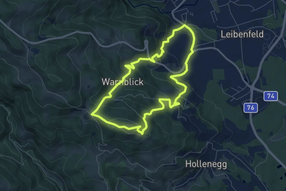
Medium · Trail
Laßnitztalrundweg
10.2 km · ↑ 275 m · 3 h 8 min · 2 km away
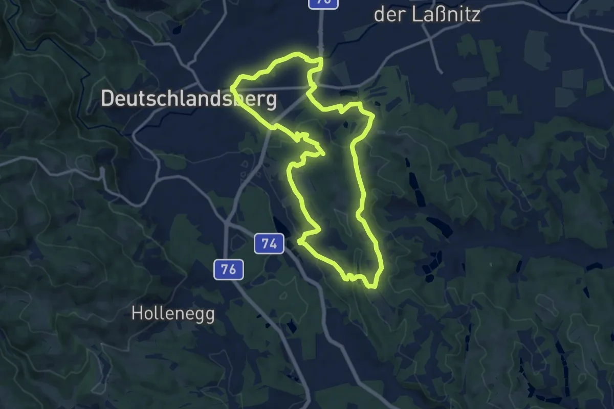
Medium · Trail
Wolfgangiweg RWW 12
6.6 km · ↑ 378 m · 2 h 28 min · 2 km away
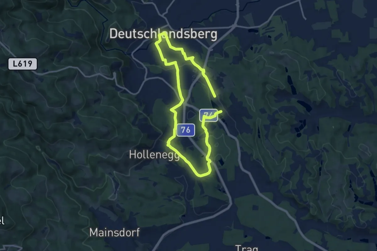
Medium · Trail
Rundweg über Schloss Frauental
10.6 km · ↑ 234 m · 3 h 9 min · 2 km away
Medium · Trail
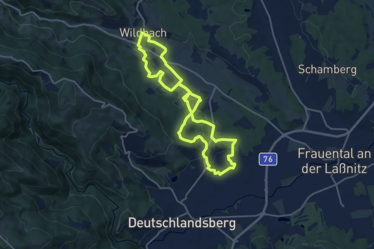
Wanderweg F5
17.7 km · ↑ 195 m · 4 h 37 min · 2 km away
Medium · Summit
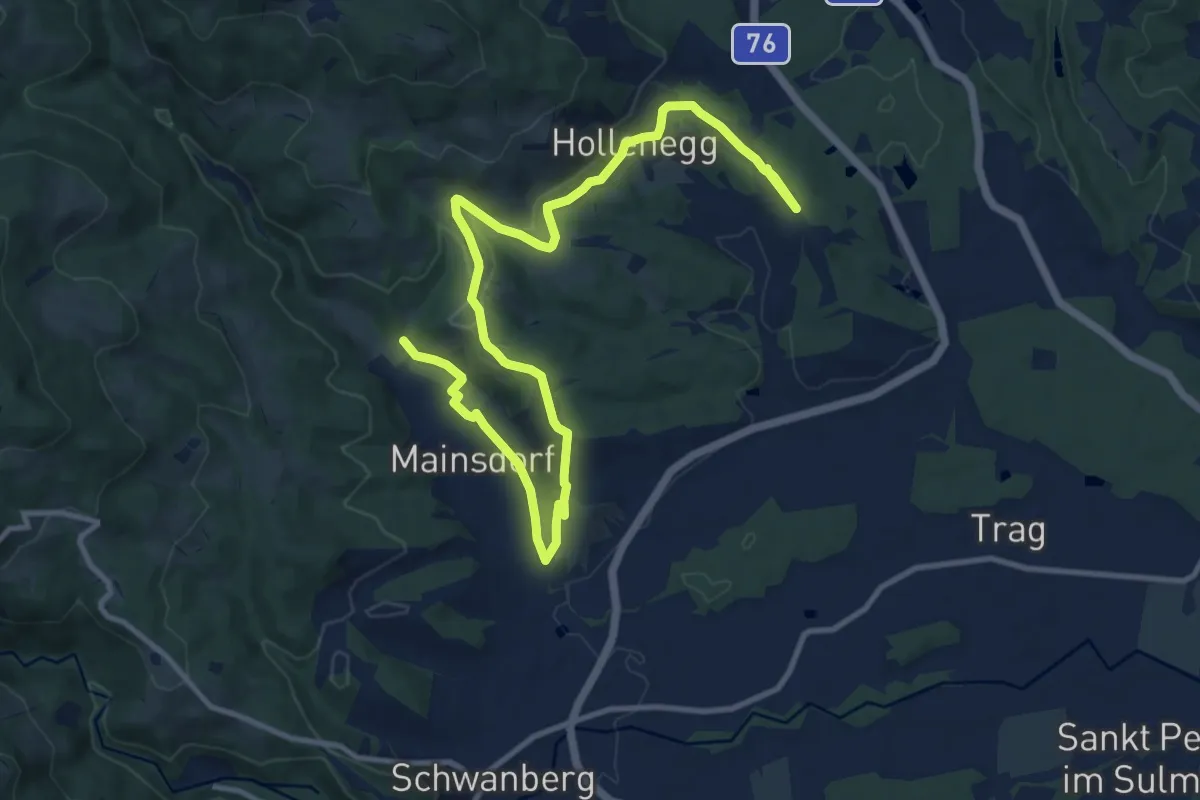
Wanderweg F3
10.3 km · ↑ 218 m · 3 h 3 min · 3 km away
Easy · Trail
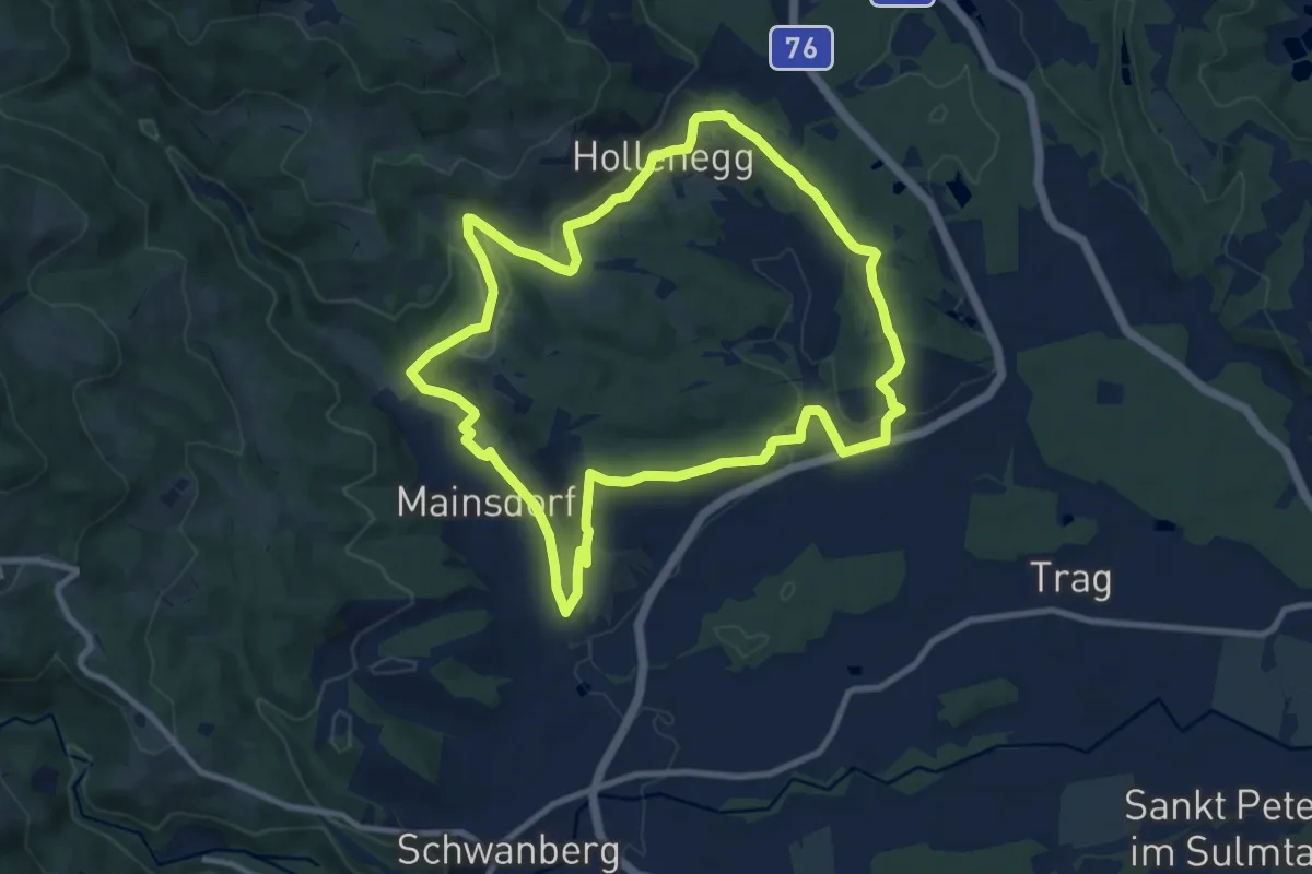
Buschenschank-Weg Große Runde
7.4 km · ↑ 103 m · 2 h 5 min · 3 km away
Medium · Trail
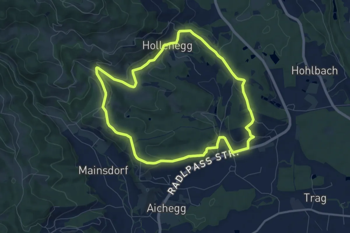
Schloss Hollenegg Rundwanderweg
9.8 km · ↑ 206 m · 2 h 54 min · 4 km away
Easy · Trail
Hollenegger Rundweg
7.8 km · ↑ 148 m · 2 h 16 min · 4 km away
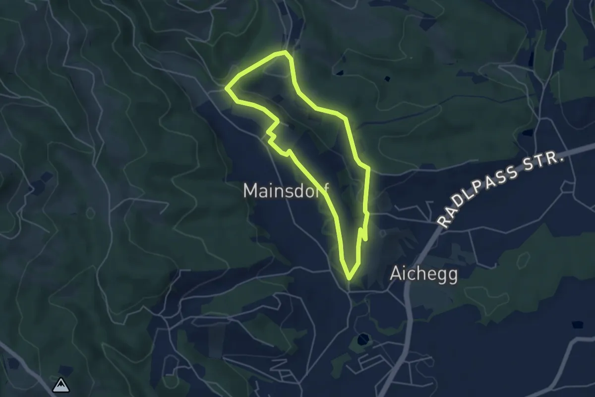
Easy · Trail
Buschenschank-Weg Kleine Runde
4.1 km · ↑ 95 m · 1 h 14 min · 4 km away
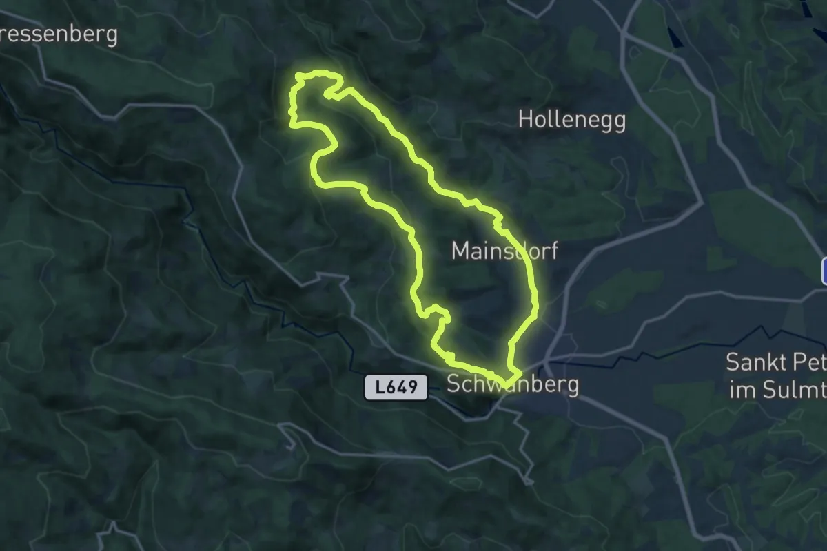
Medium · Trail
Ruine Ahnherrn Rundwanderweg
14.7 km · ↑ 393 m · 4 h 32 min · 4 km away
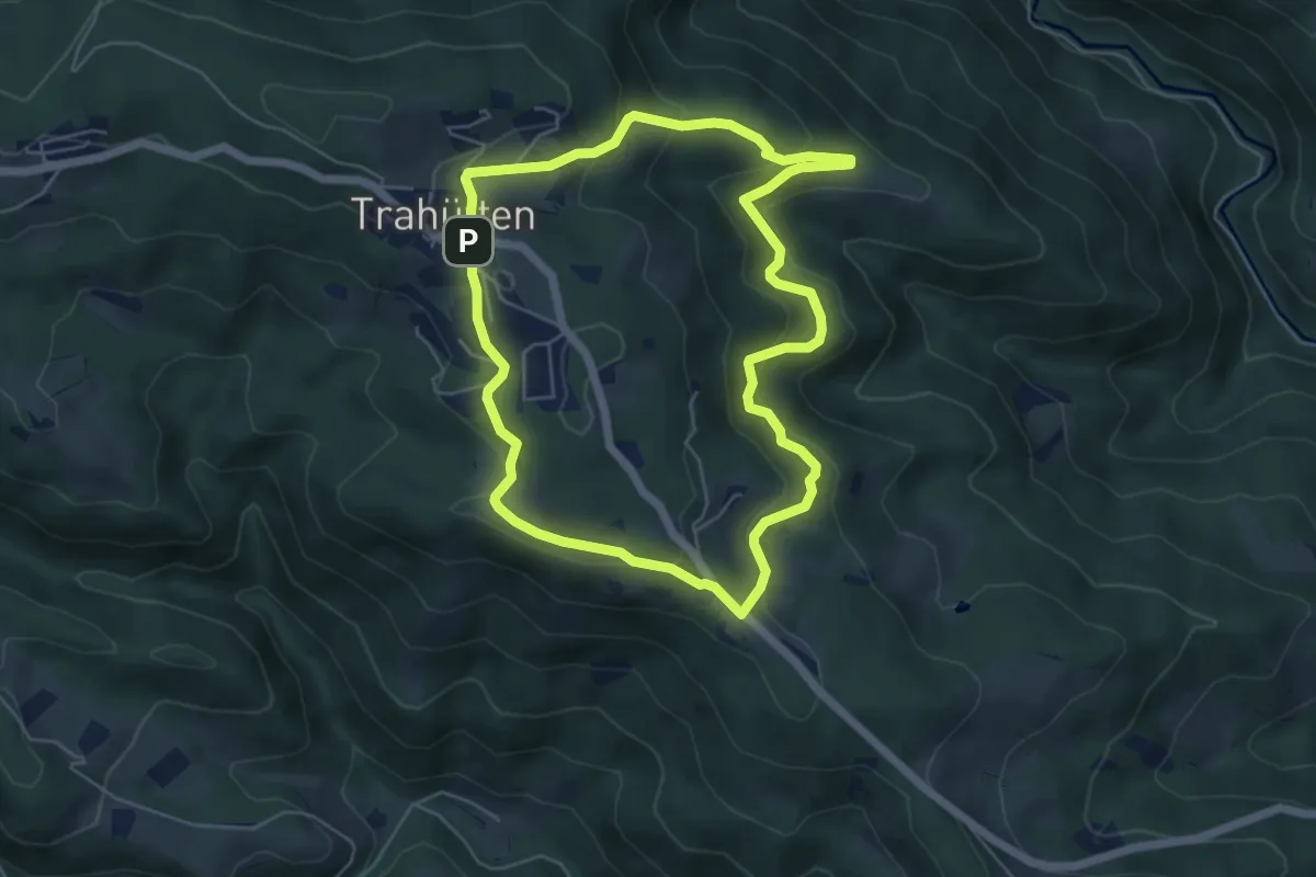
Medium · Trail
Wanderweg 1
5.4 km · ↑ 216 m · 1 h 48 min · 5 km away
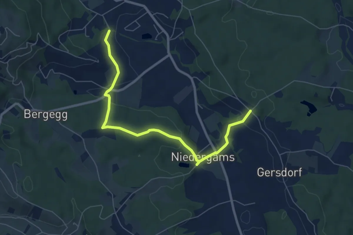
Easy · Trail
Rundweg 29
6.7 km · ↑ 188 m · 1 h 59 min · 5 km away
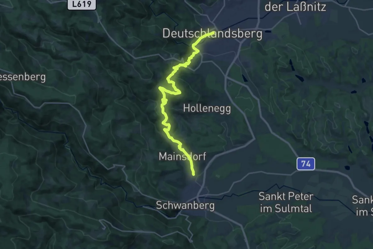
Demanding · Trail
Mariazellerweg 506
19.5 km · ↑ 756 m · 6 h 14 min · 5 km away
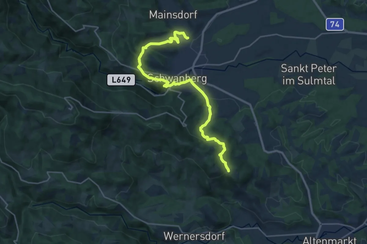
Medium · Trail
Mariazellerweg 506
17.0 km · ↑ 583 m · 5 h 16 min · 5 km away
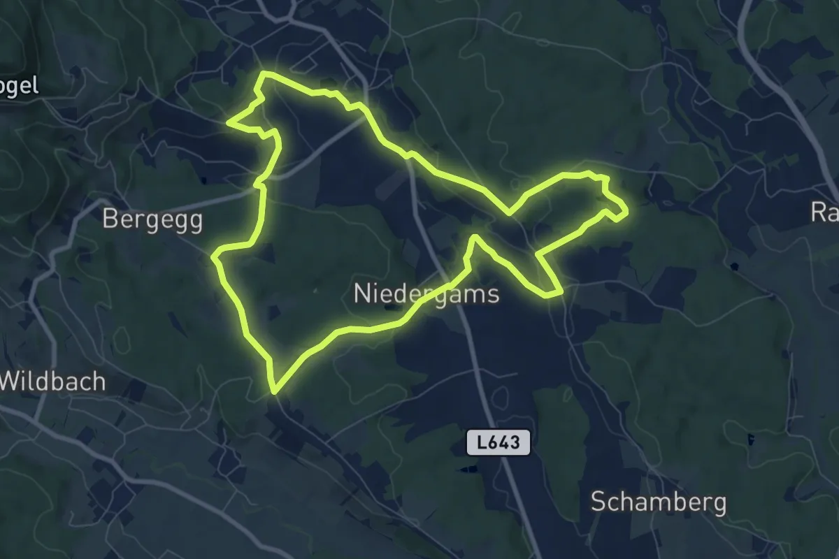
Medium · Trail
Bad Gamser Schilcherkellerweg
8.9 km · ↑ 226 m · 2 h 43 min · 5 km away
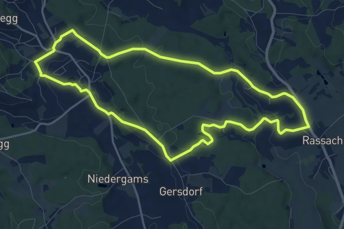
Medium · Trail
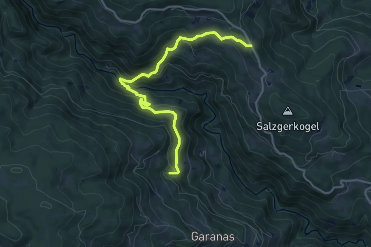
Wanderweg 26
9.4 km · ↑ 180 m · 2 h 45 min · 6 km away
Medium · Trail
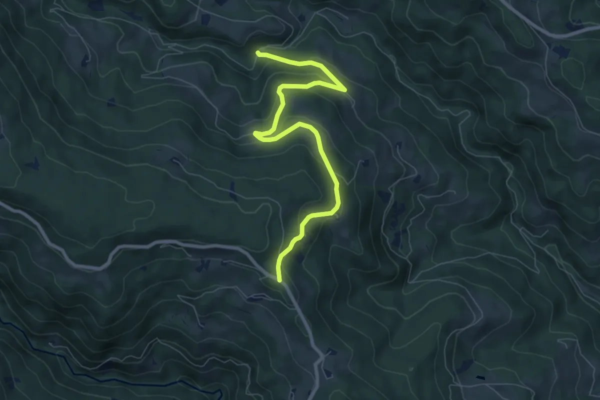
Wanderweg 34
9.2 km · ↑ 475 m · 3 h 12 min · 6 km away
Easy · Trail
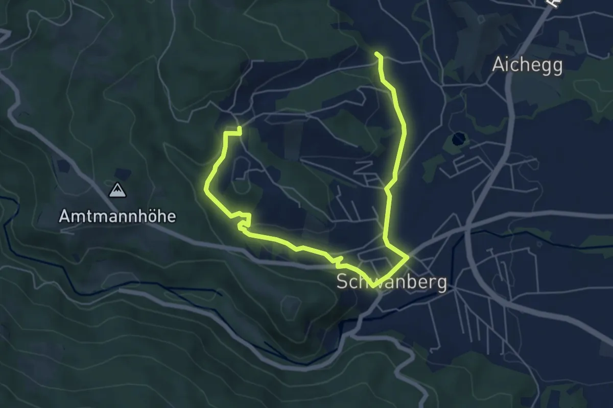
Wanderweg 29
7.7 km · ↑ 311 m · 2 h 30 min · 6 km away
Medium · Trail
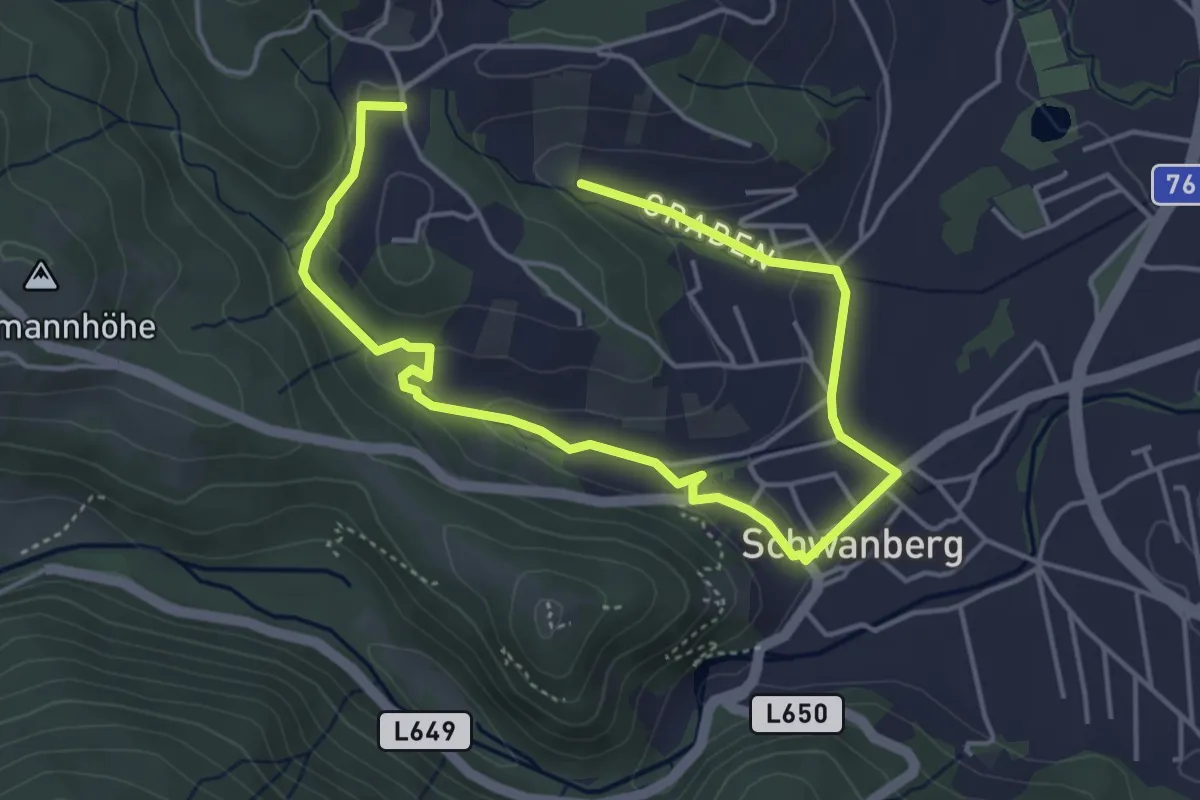
Reschbauerweg
3.5 km · ↑ 27 m · 59 min · 6 km away
Medium · Trail
Rund um Kleingraden
3.2 km · ↑ 44 m · 55 min · 6 km away
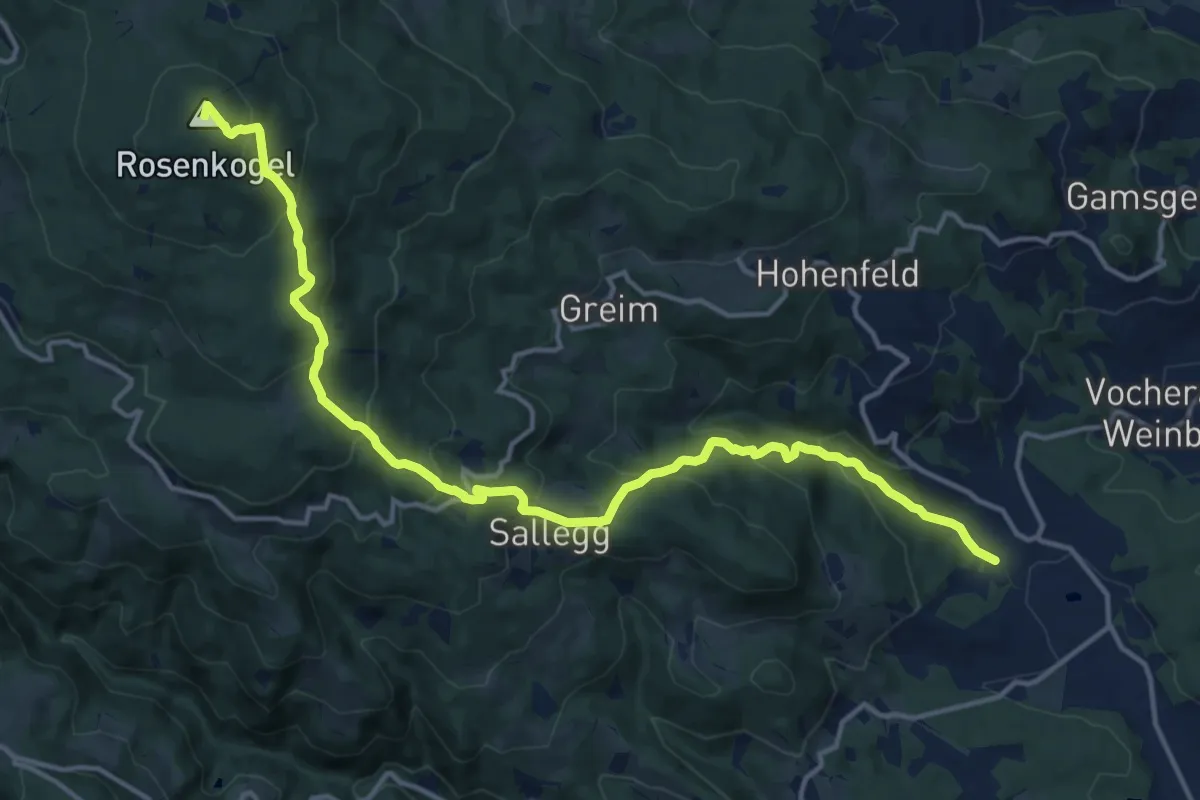
Demanding · Summit
Rosenkogelweg
16.8 km · ↑ 955 m · 6 h 2 min · 6 km away
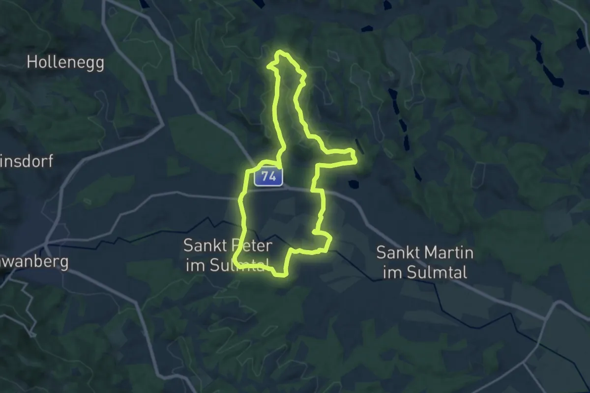
Medium · Trail
Schilcherweg
12.9 km · ↑ 132 m · 3 h 30 min · 6 km away
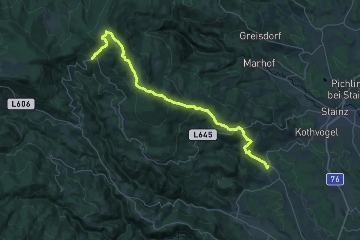
Demanding · Trail
Waldwanderweg
14.3 km · ↑ 1052 m · 5 h 29 min · 6 km away
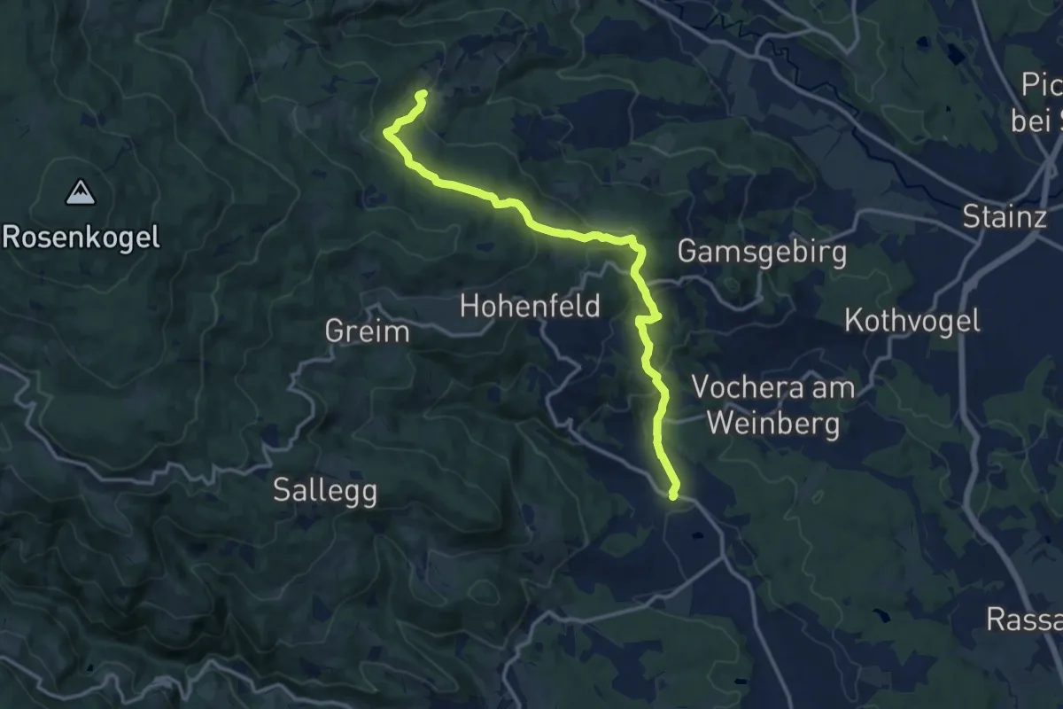
Medium · Trail
Höllerhanslweg
12.6 km · ↑ 551 m · 4 h 11 min · 6 km away
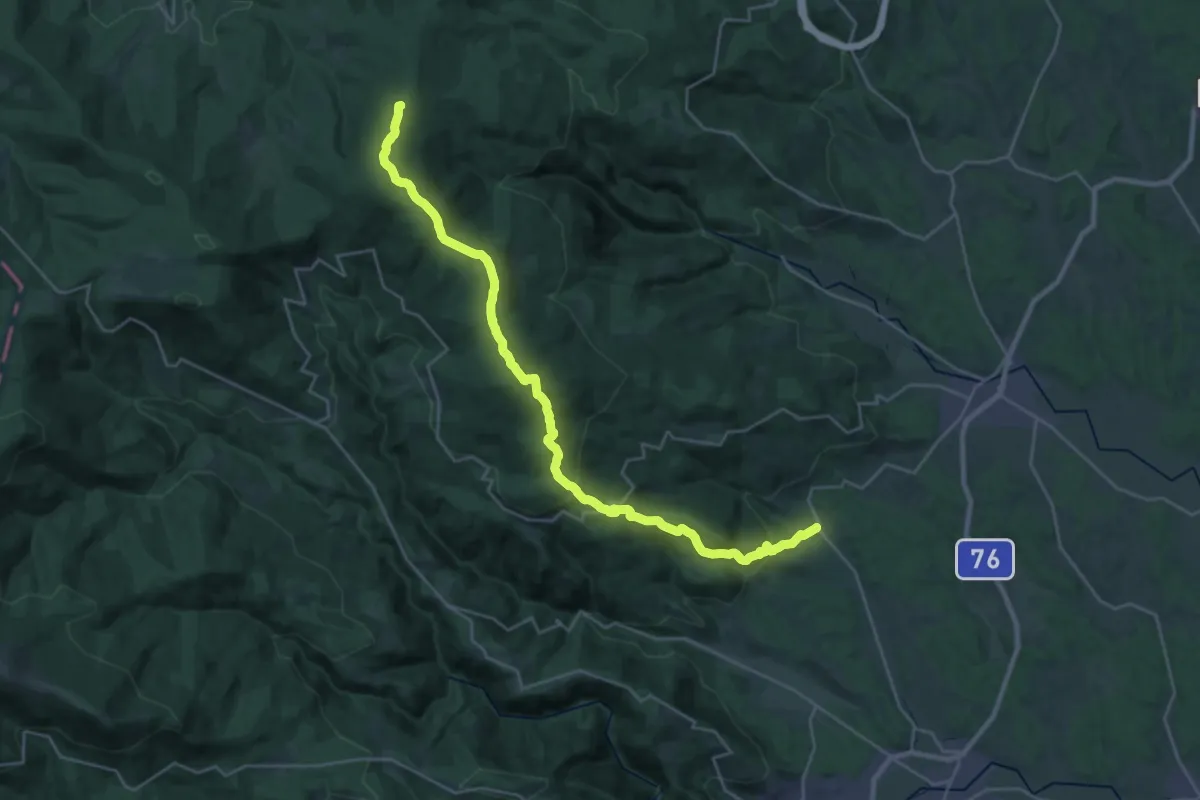
Demanding · Summit
Wanderweg 555
30.0 km · ↑ 1319 m · 9 h 56 min · 6 km away
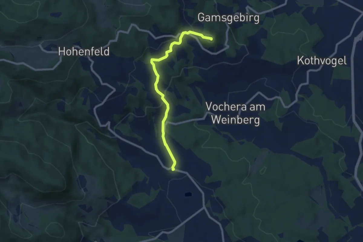
Medium · Summit
Mariazellerweg 506
6.2 km · ↑ 237 m · 1 h 59 min · 6 km away
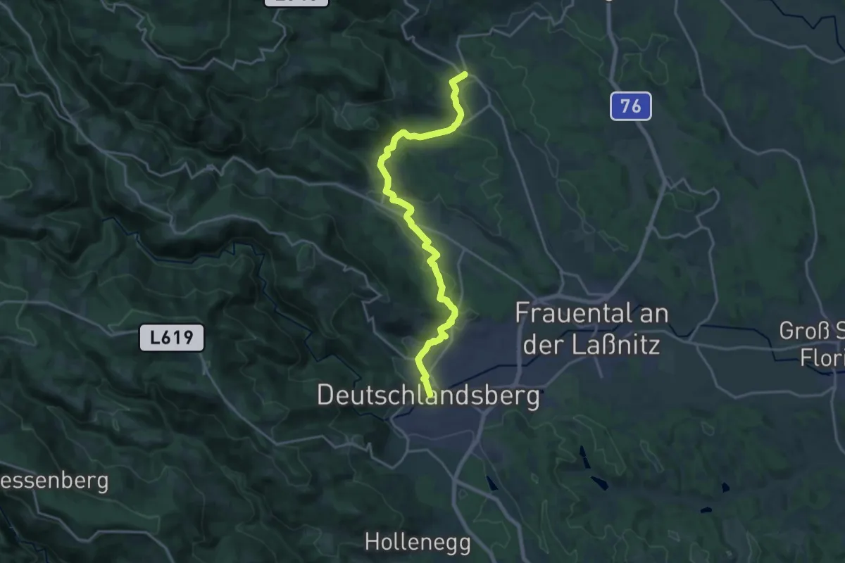
Demanding · Trail
Mariazellerweg 506
18.3 km · ↑ 393 m · 5 h 11 min · 6 km away
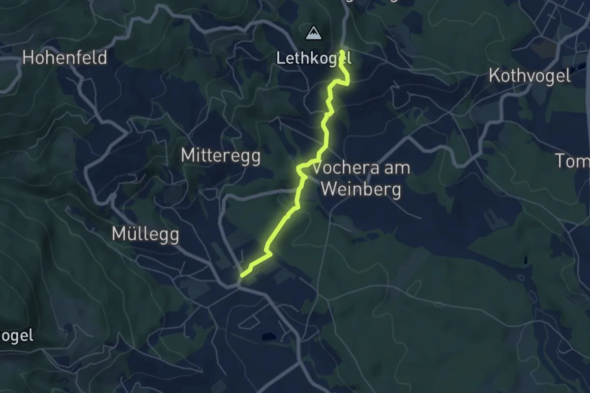
Easy · Trail
Mariazellerweg 506 Variante über Vocheraberg
4.7 km · ↑ 220 m · 1 h 36 min · 6 km away
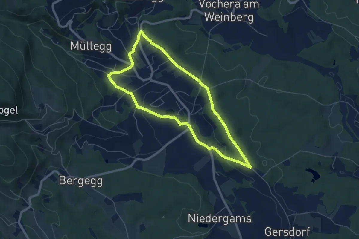
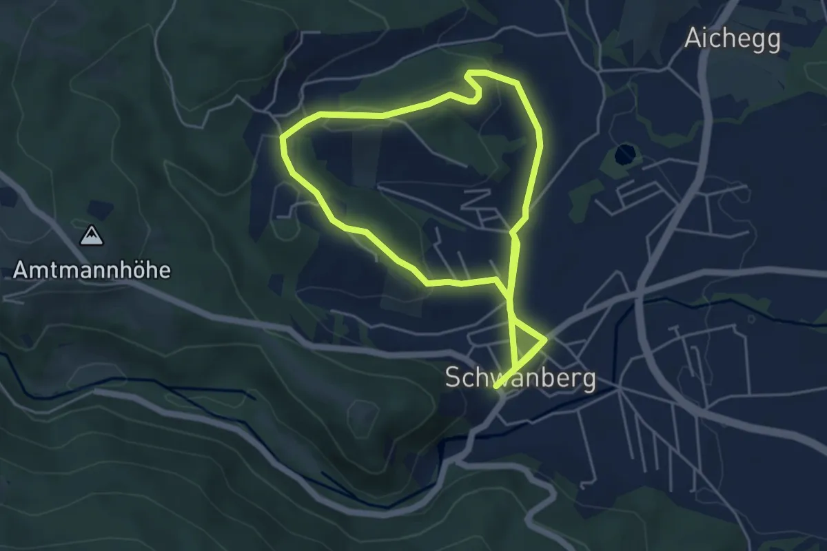
Easy · Trail
Genuss-Spazierrundweg
5.3 km · ↑ 66 m · 1 h 27 min · 7 km away
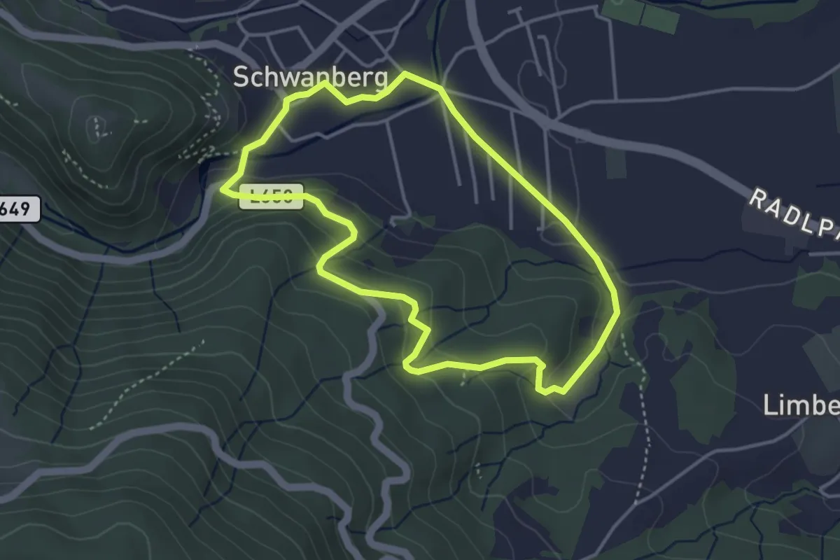
Easy · Trail
Rund um Graden
4.6 km · ↑ 91 m · 1 h 20 min · 7 km away
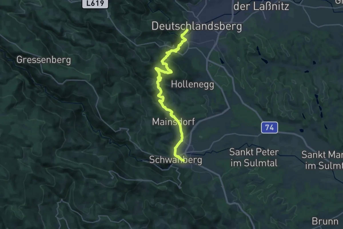
Easy · Trail
Buschenschank-Moser-Weg
3.6 km · ↑ 95 m · 1 h 6 min · 7 km away
Demanding · Trail
Vom Gletscher zum Wein (Südroute) Etappe 19
21.6 km · ↑ 781 m · 6 h 47 min · 7 km away
Medium · Trail
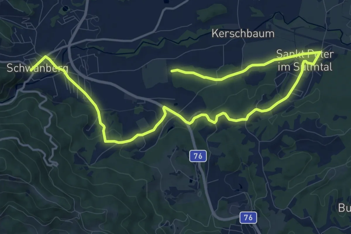
St. Peter Rundweg
8.2 km · ↑ 178 m · 2 h 25 min · 7 km away
Medium · Trail
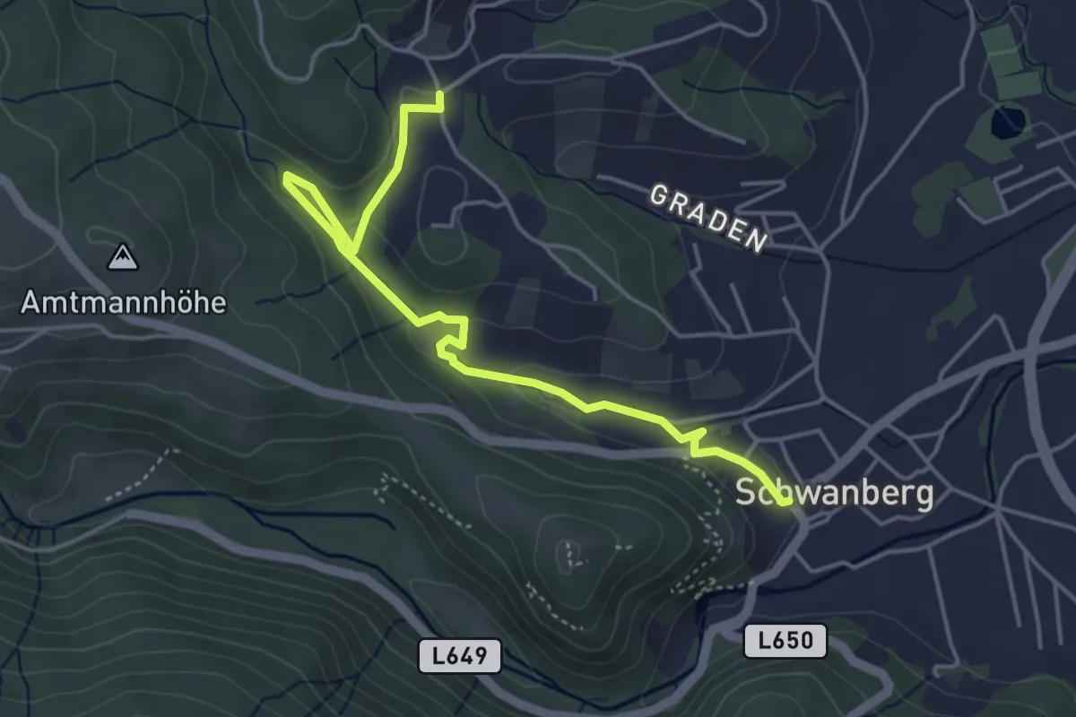
Weiherbach-Weg
2.4 km · ↑ 112 m · 48 min · 7 km away
Easy · Summit
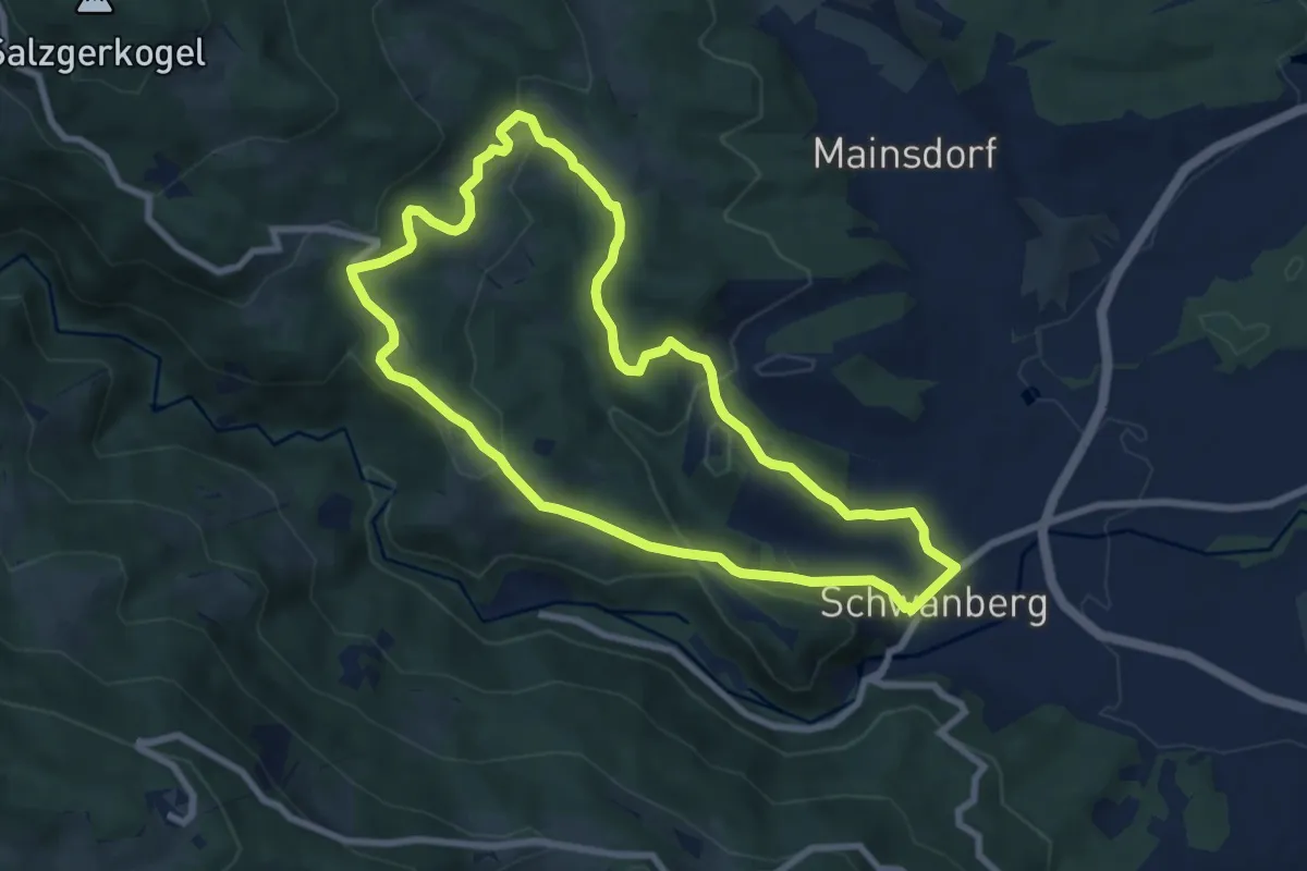
Hubenjörgl-Weg
7.7 km · ↑ 265 m · 2 h 30 min · 7 km away
Medium · Trail
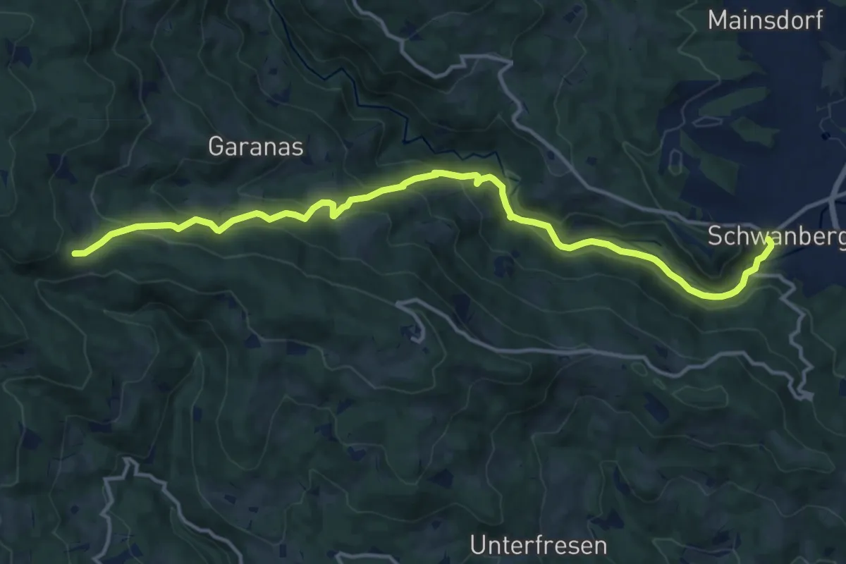
Wanderweg 587
14.6 km · ↑ 656 m · 4 h 52 min · 7 km away
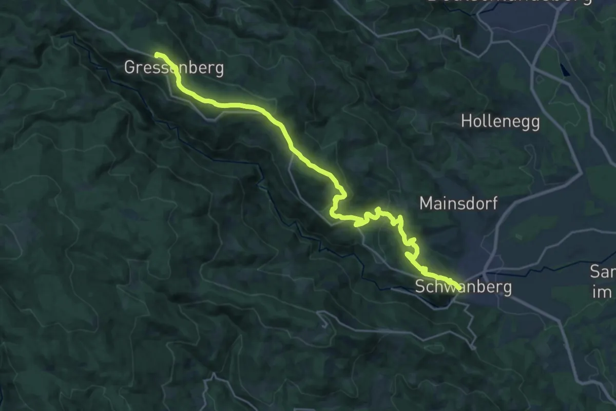
Demanding · Summit
Wanderweg 582
24.2 km · ↑ 786 m · 7 h 25 min · 7 km away
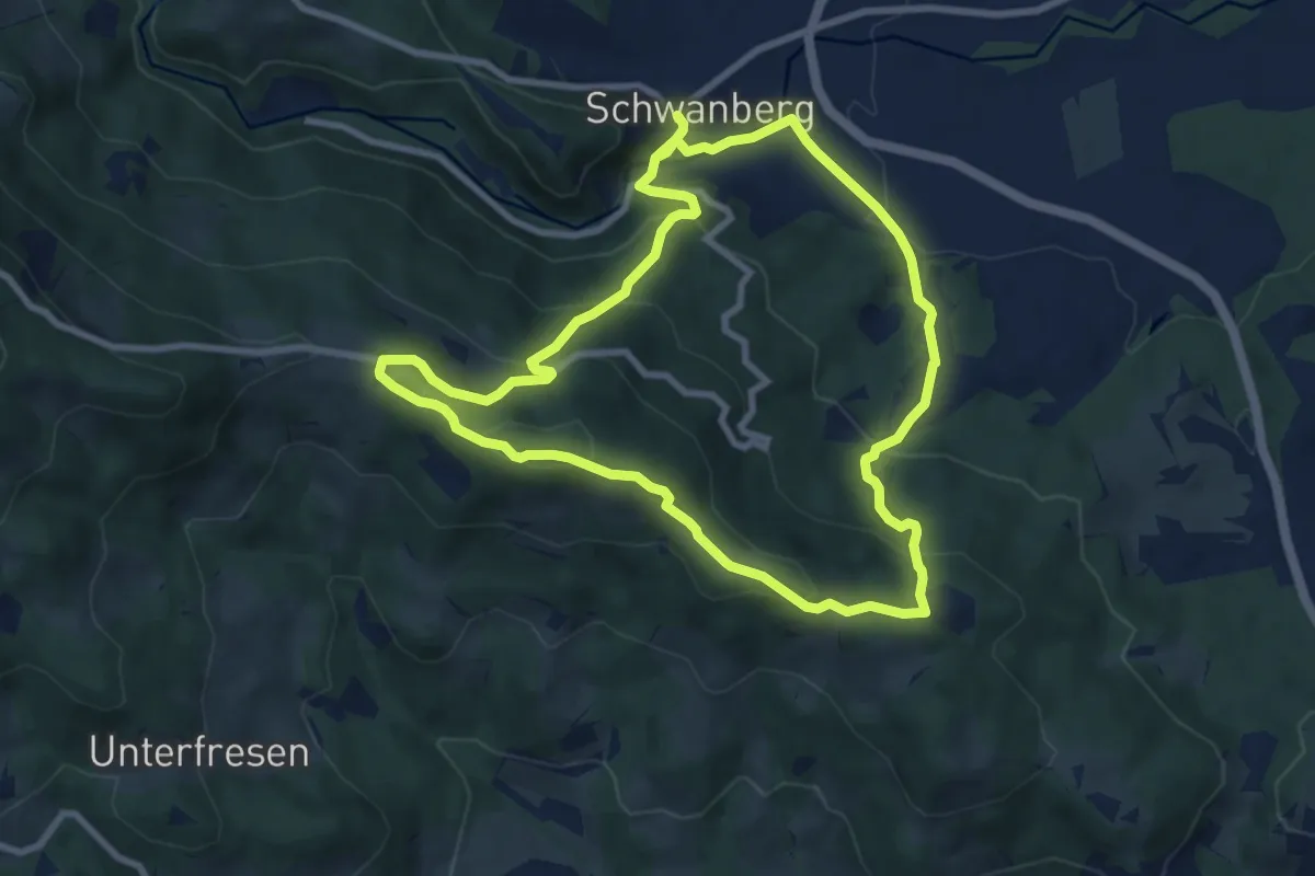
Demanding · Trail
Schloss Limberg Rundwanderweg
16.6 km · ↑ 834 m · 5 h 44 min · 7 km away
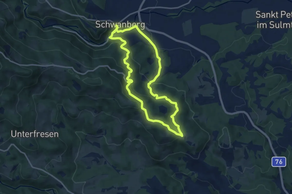
Medium · Trail
Unterfresen - Hochmasser Runde
8.9 km · ↑ 299 m · 2 h 52 min · 7 km away
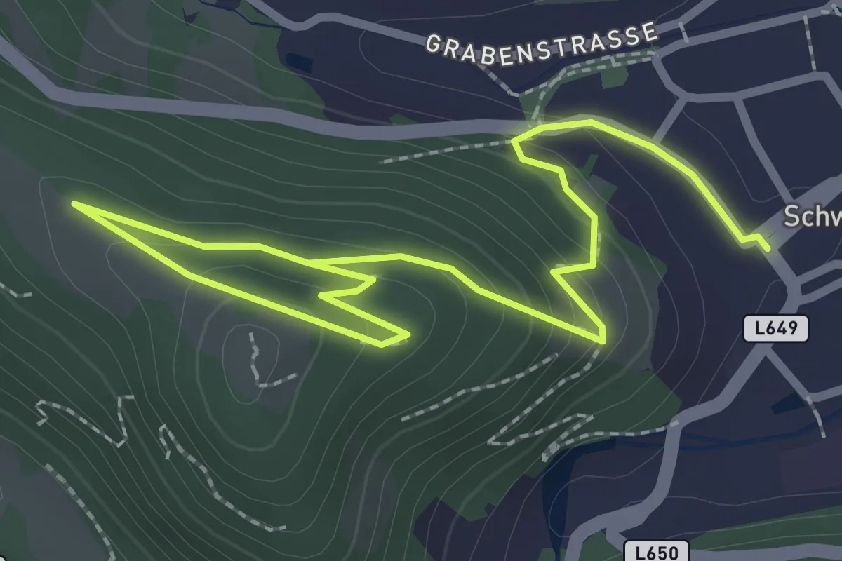
Easy · Trail
Schwanberg Kraftweg
1.7 km · ↑ 24 m · 32 min · 7 km away