Trails near Deutschlandsberg
162 hikes starting within 15 km, nearest first.
Nearest first, page 4 of 4
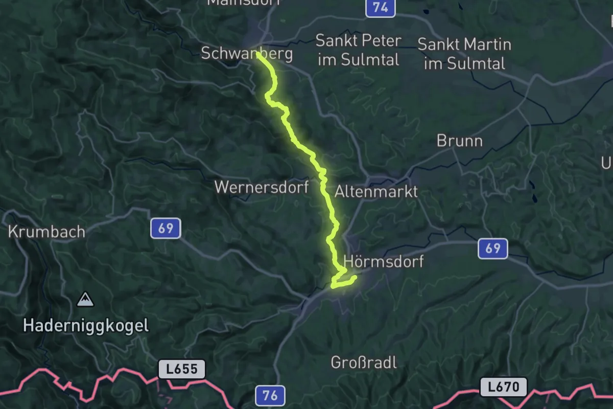
Demanding · Trail
Vom Gletscher zum Wein (Südroute) Etappe 20
23.2 km · ↑ 756 m · 7 h 6 min · 14 km away
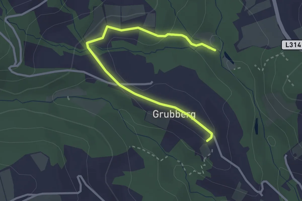
Easy · Trail
Wanderweg S11
2.9 km · ↑ 78 m · 51 min · 14 km away
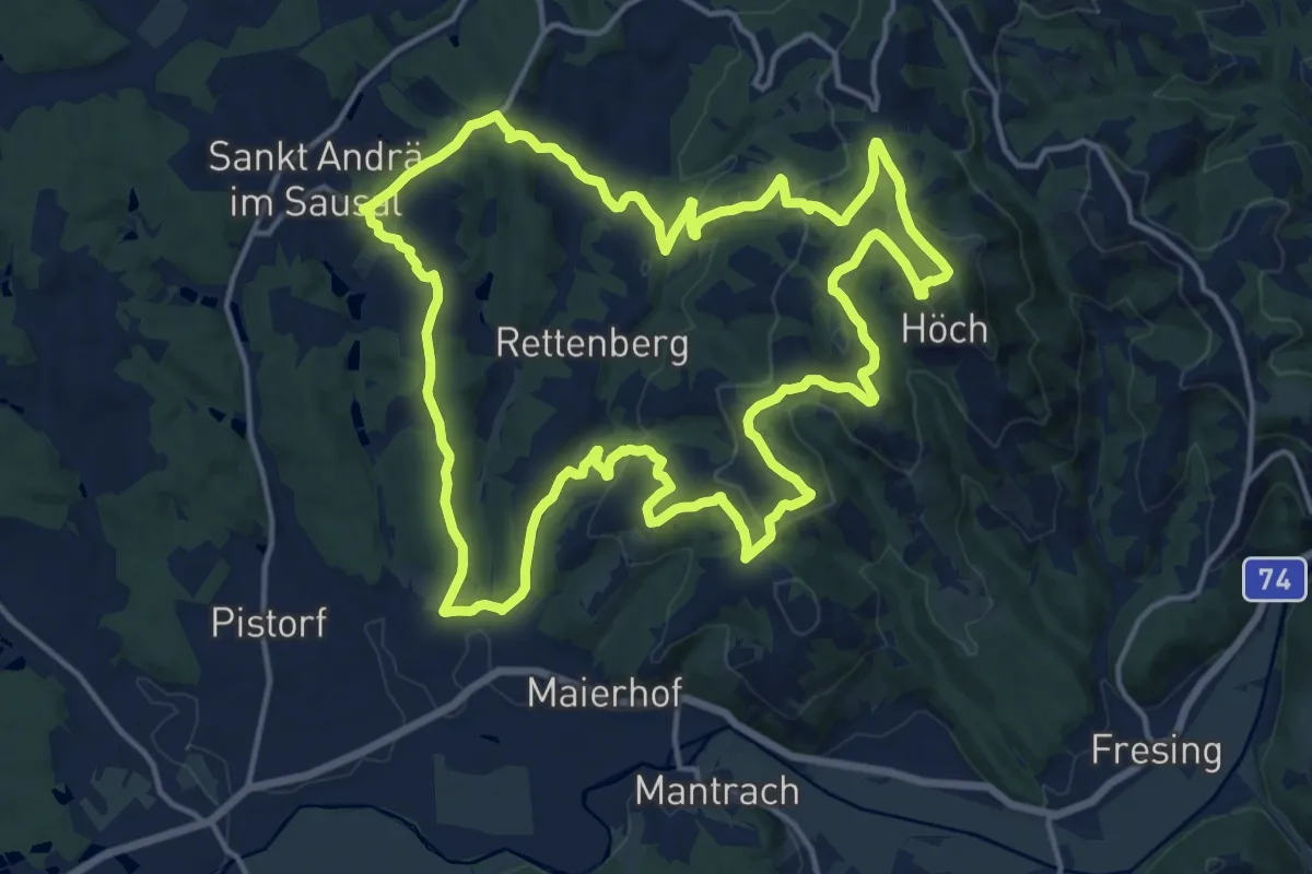
Medium · Summit
St. Andrä - Höcher Runde
17.2 km · ↑ 593 m · 5 h 35 min · 14 km away
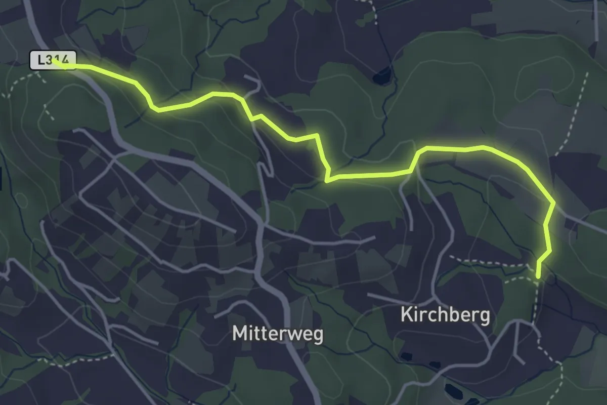
Easy · Trail
Wanderweg S2A
4.4 km · ↑ 131 m · 1 h 20 min · 14 km away
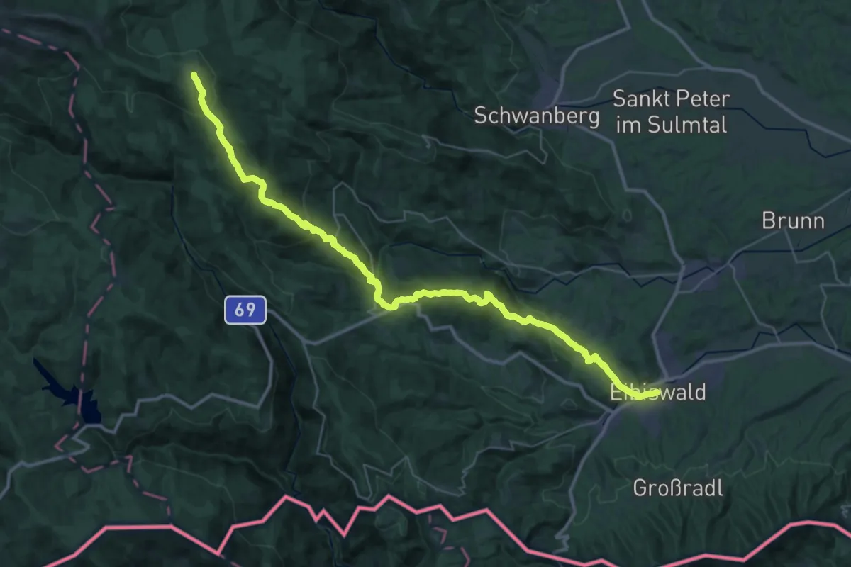
Demanding · Cabin
Via Alpina Purple A16
20.0 km · ↑ 1406 m · 7 h 27 min · 14 km away
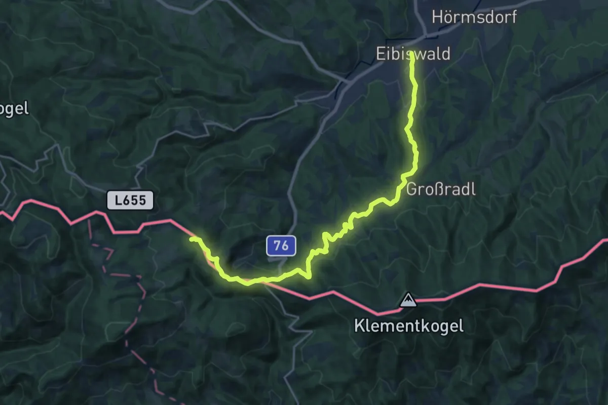
Demanding · Summit
Via Alpina Purple A15
19.5 km · ↑ 684 m · 6 h 6 min · 14 km away
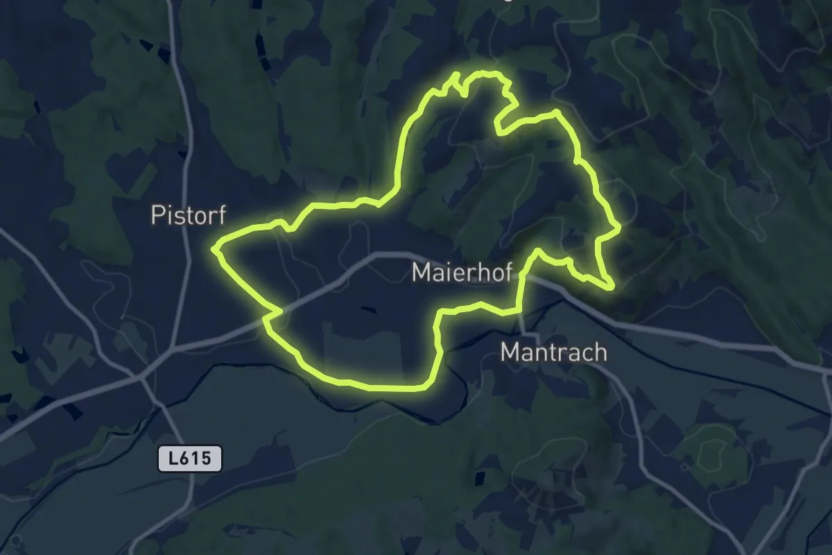
Medium · Summit
Pisdorfer Rundwanderweg
10.9 km · ↑ 283 m · 3 h 20 min · 14 km away
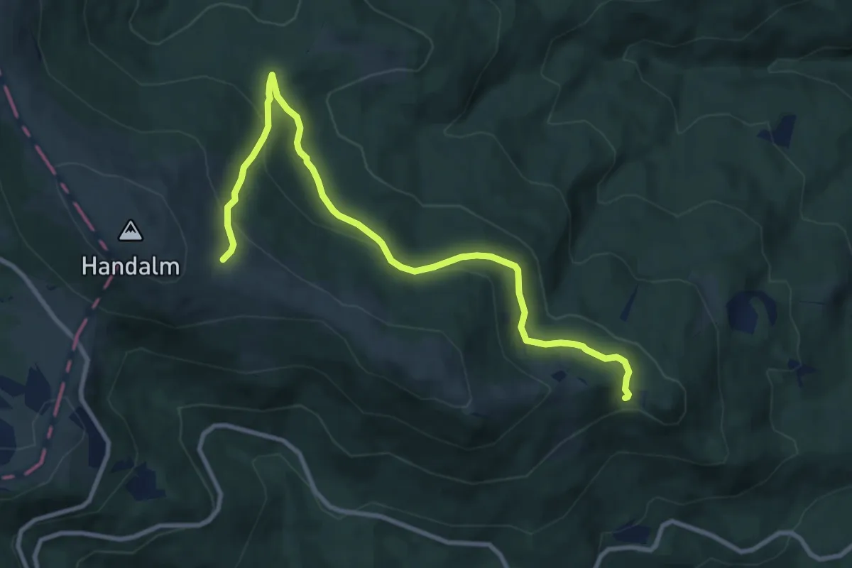
Medium · Trail
Wanderweg 578B
9.8 km · ↑ 386 m · 3 h 10 min · 15 km away
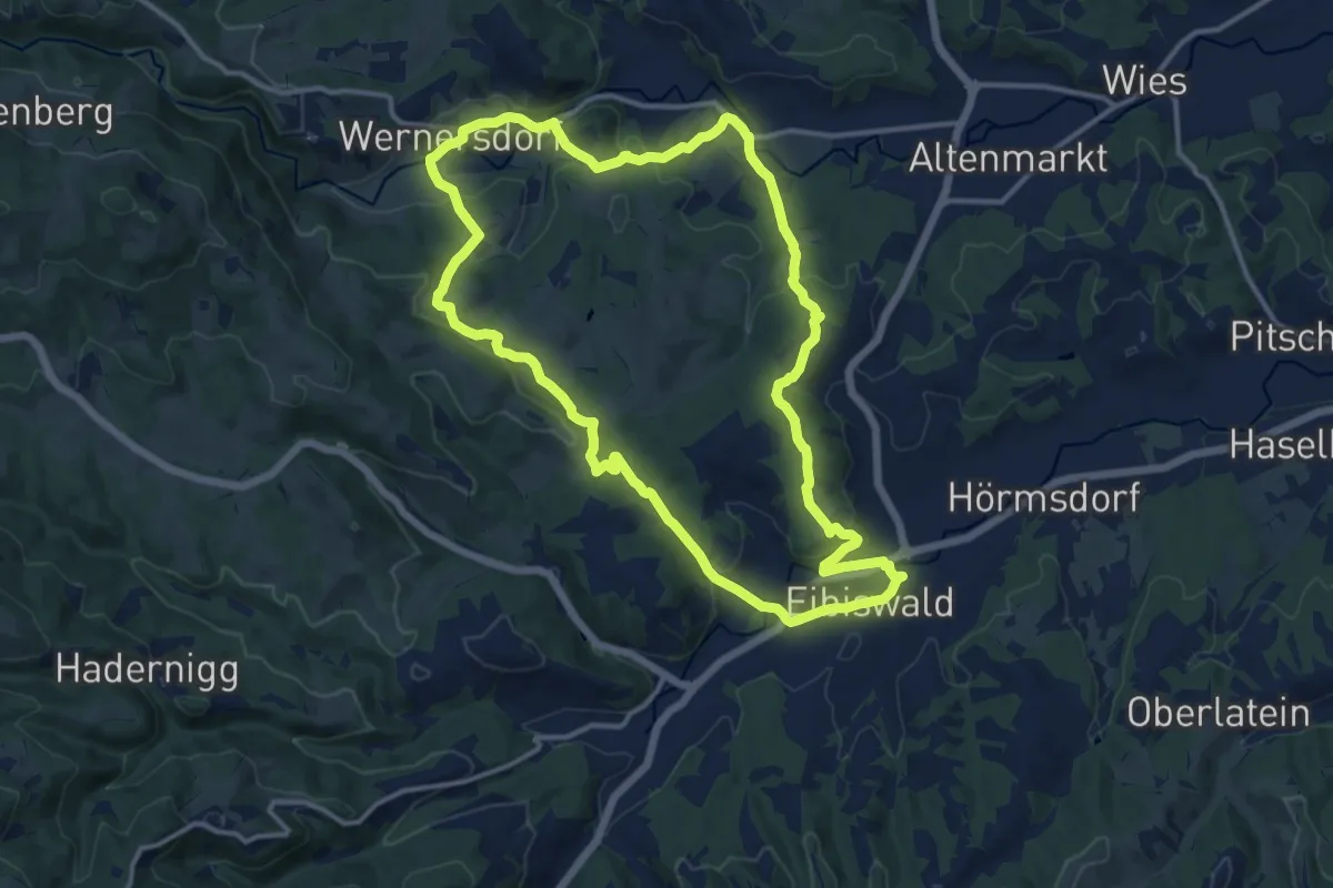
Medium · Trail
Emmaus-Wanderweg
13.2 km · ↑ 332 m · 4 h 1 min · 15 km away
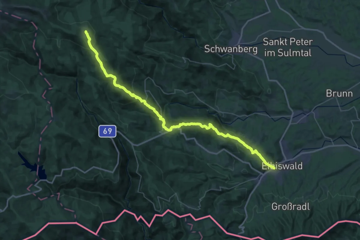
Demanding · Cabin
Nord-Süd Weitwanderweg 505 Etappe 22
19.4 km · ↑ 1411 m · 7 h 19 min · 15 km away
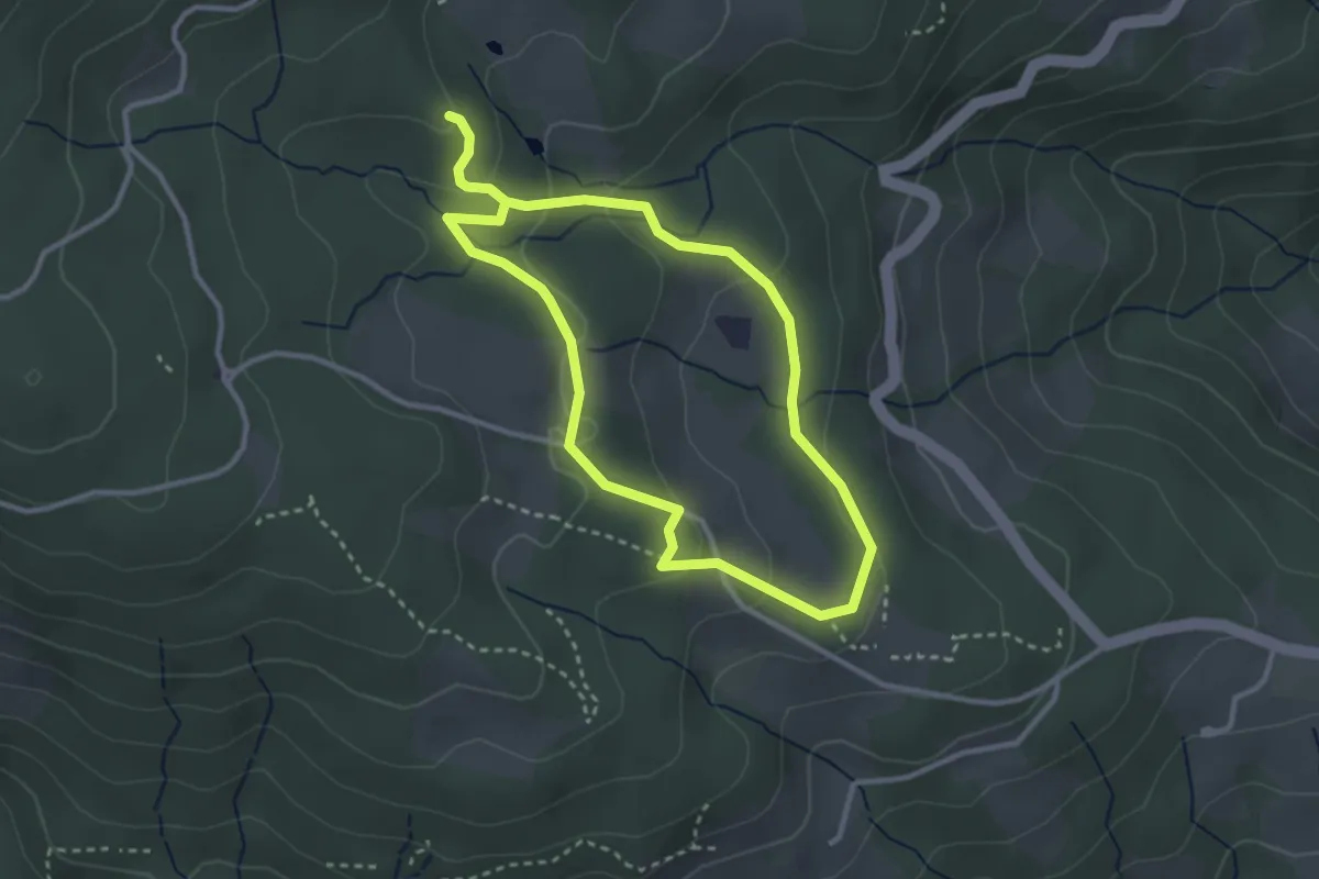
Easy · Trail
Sommereben Rundwanderweg 57
2.7 km · ↑ 75 m · 51 min · 15 km away
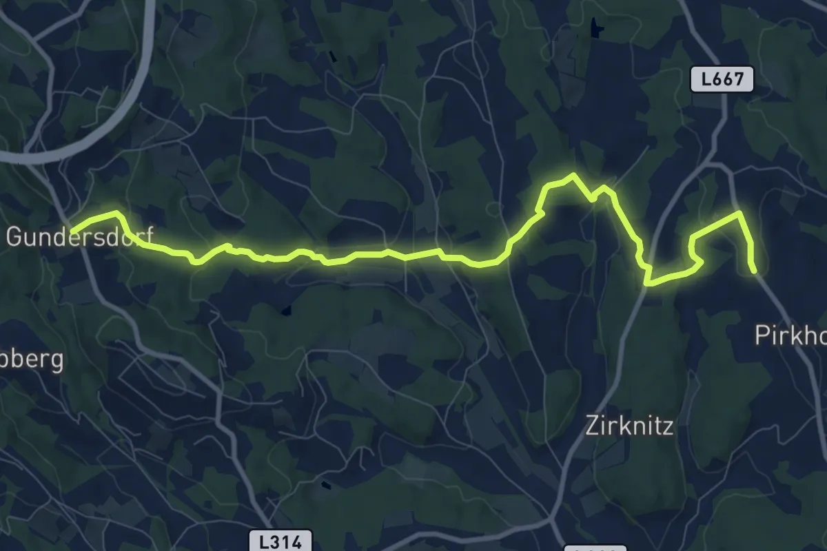
Medium · Trail
Wanderweg S3
11.0 km · ↑ 364 m · 3 h 23 min · 15 km away
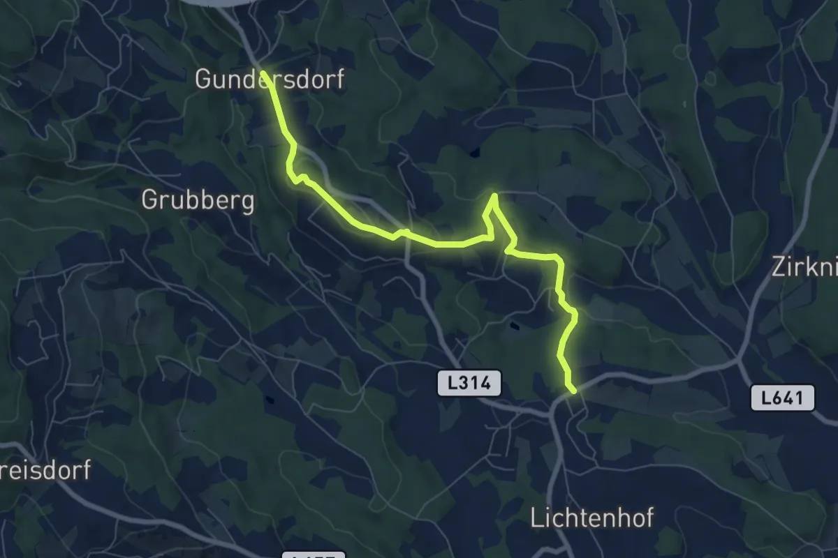
Easy · Trail
Wanderweg S2
7.5 km · ↑ 289 m · 2 h 23 min · 15 km away
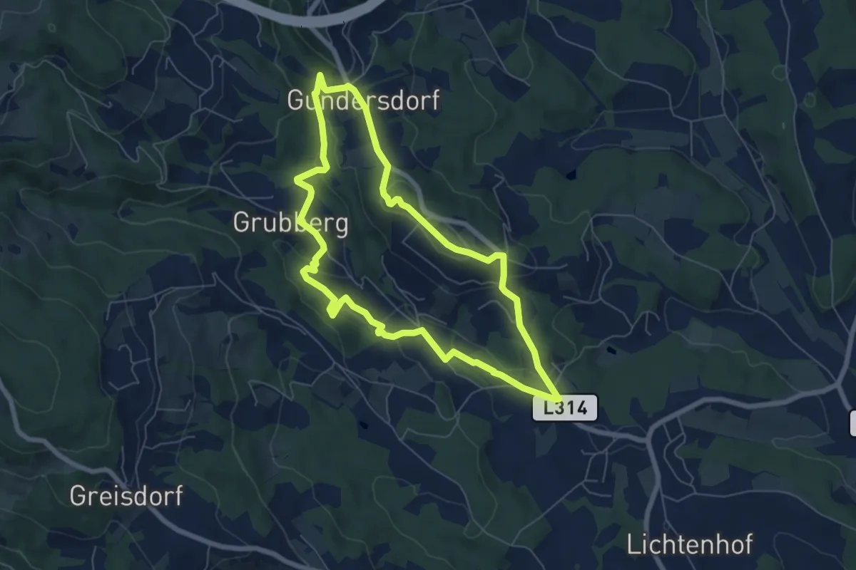
Easy · Trail
GenussSchilchern da Mittlere Runde
6.1 km · ↑ 226 m · 2 h 1 min · 15 km away
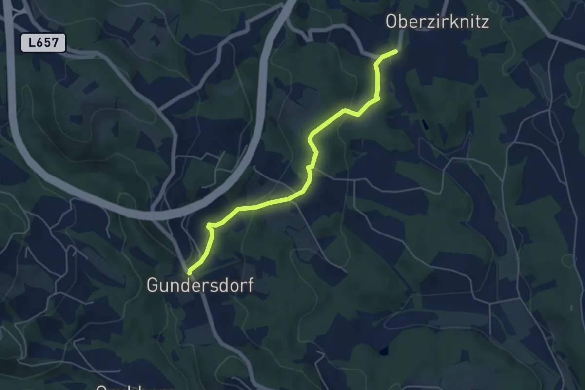
Easy · Trail
Wanderweg S5
4.7 km · ↑ 136 m · 1 h 24 min · 15 km away
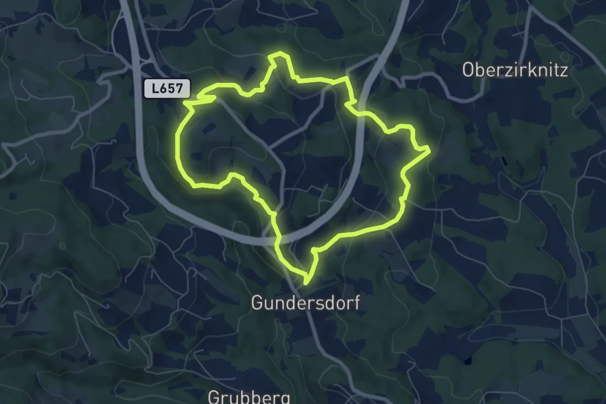
Easy · Trail
Gundersdorfer Rundwanderweg
6.6 km · ↑ 236 m · 2 h 9 min · 15 km away
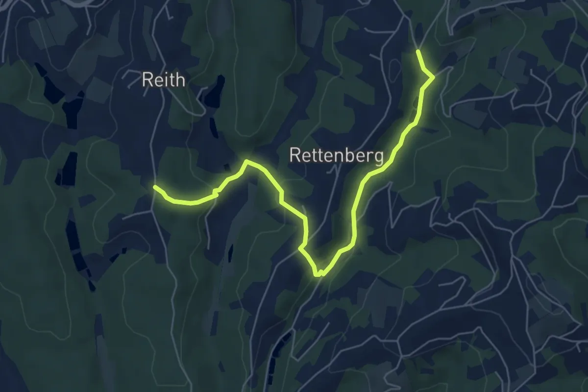
Easy · Trail
Wanderweg 21a
3.1 km · ↑ 98 m · 59 min · 15 km away
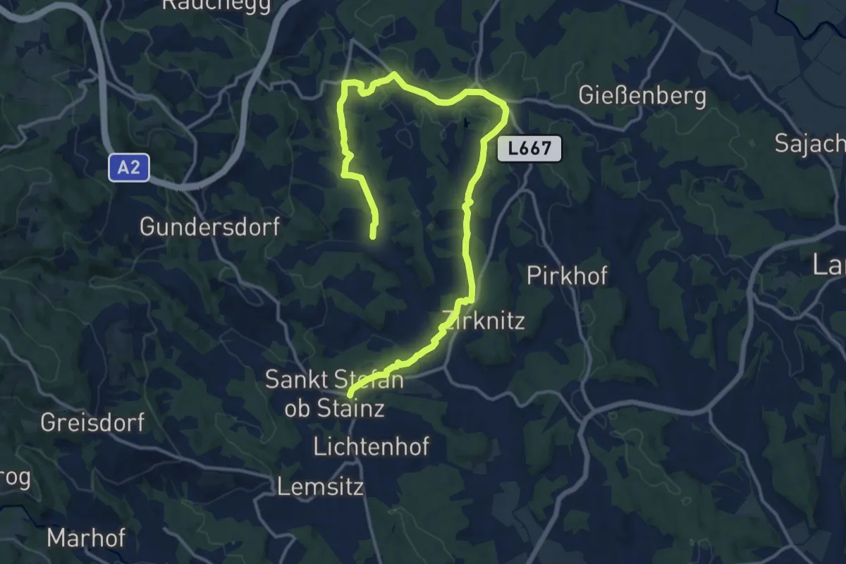
Medium · Trail
Wanderweg S4
8.7 km · ↑ 189 m · 2 h 34 min · 15 km away