Trails near Feistritz an der Drau
81 hikes starting within 15 km, nearest first.
Nearest first, page 2 of 2
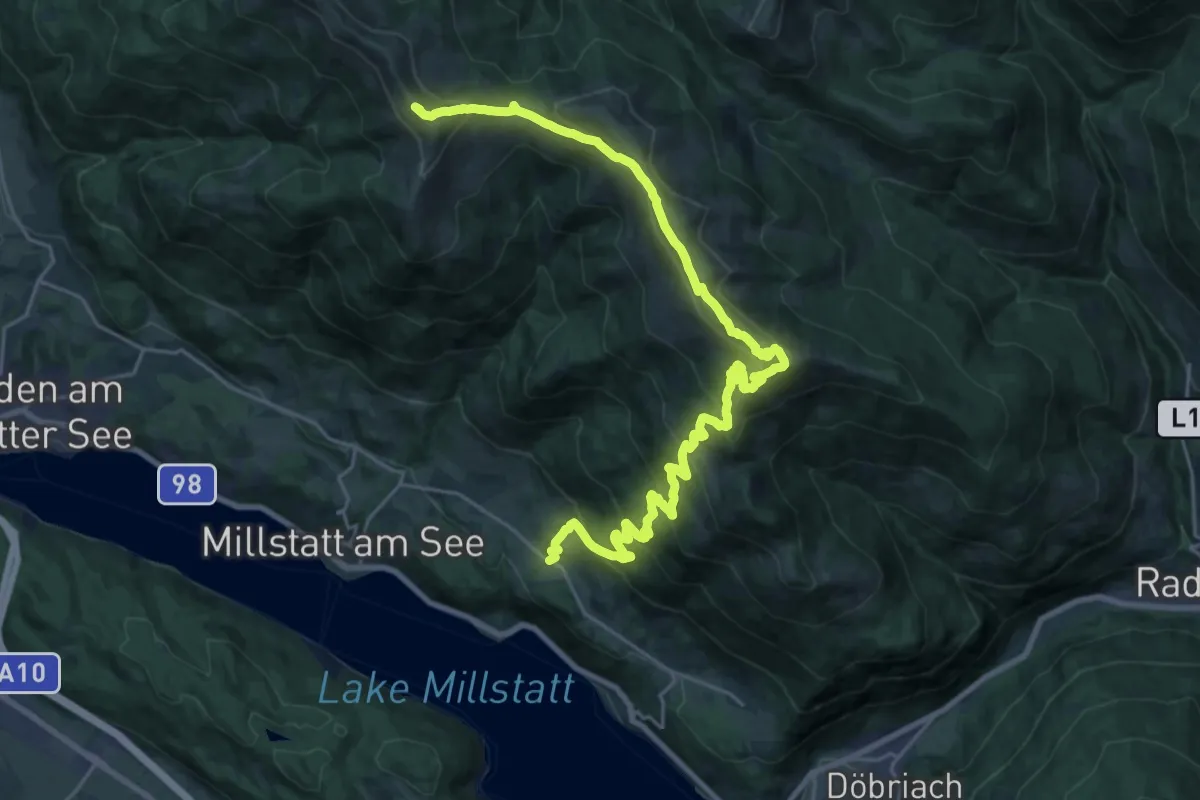
Demanding · Summit
Wanderweg 191 Tschiernock
28.8 km · ↑ 1614 m · 10 h 18 min · 12 km away
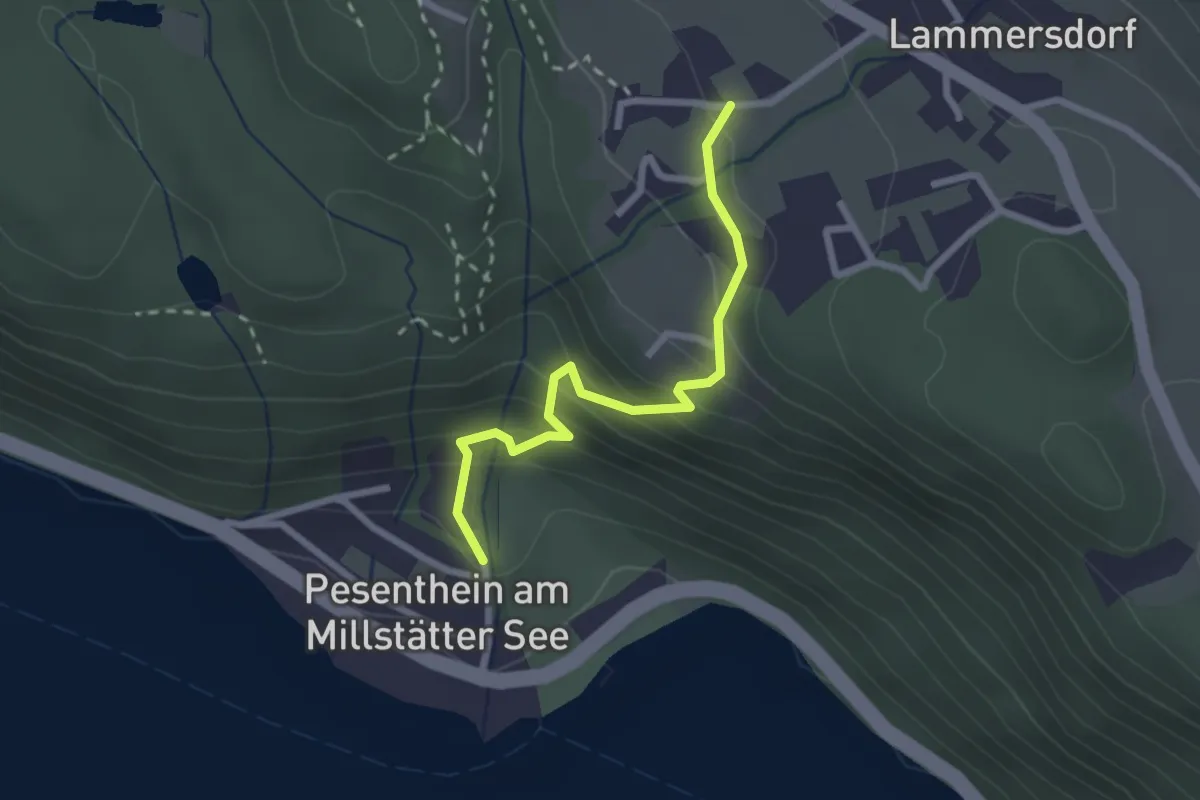
Easy · Trail
62 Pesenthein - Lammersdorf
2.3 km · ↑ 208 m · 1 h · 12 km away
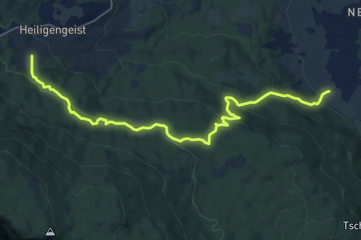
Medium · Trail
Wanderweg 22
13.7 km · ↑ 499 m · 4 h 19 min · 12 km away
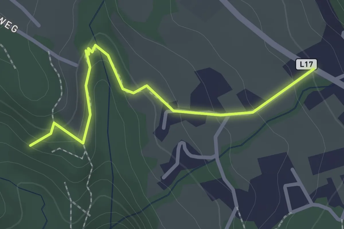
Easy · Trail
Pöllantschlucht - Lammersdorf 33a
2.2 km · ↑ 116 m · 46 min · 12 km away
Medium · Trail
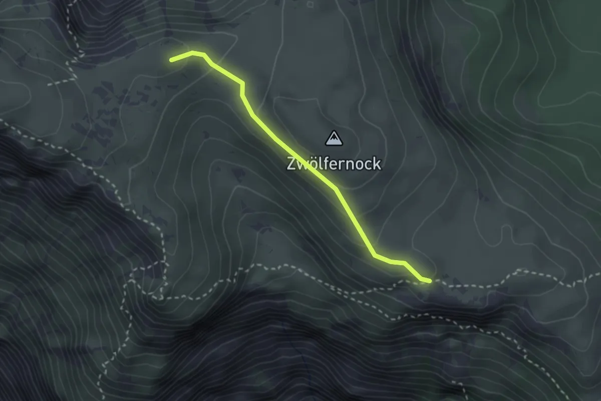
201A
2.4 km · ↑ 139 m · 52 min · 12 km away
Medium · Trail
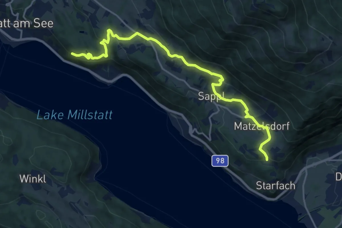
Via Paradiso
13.7 km · ↑ 535 m · 4 h 24 min · 12 km away
Medium · Summit
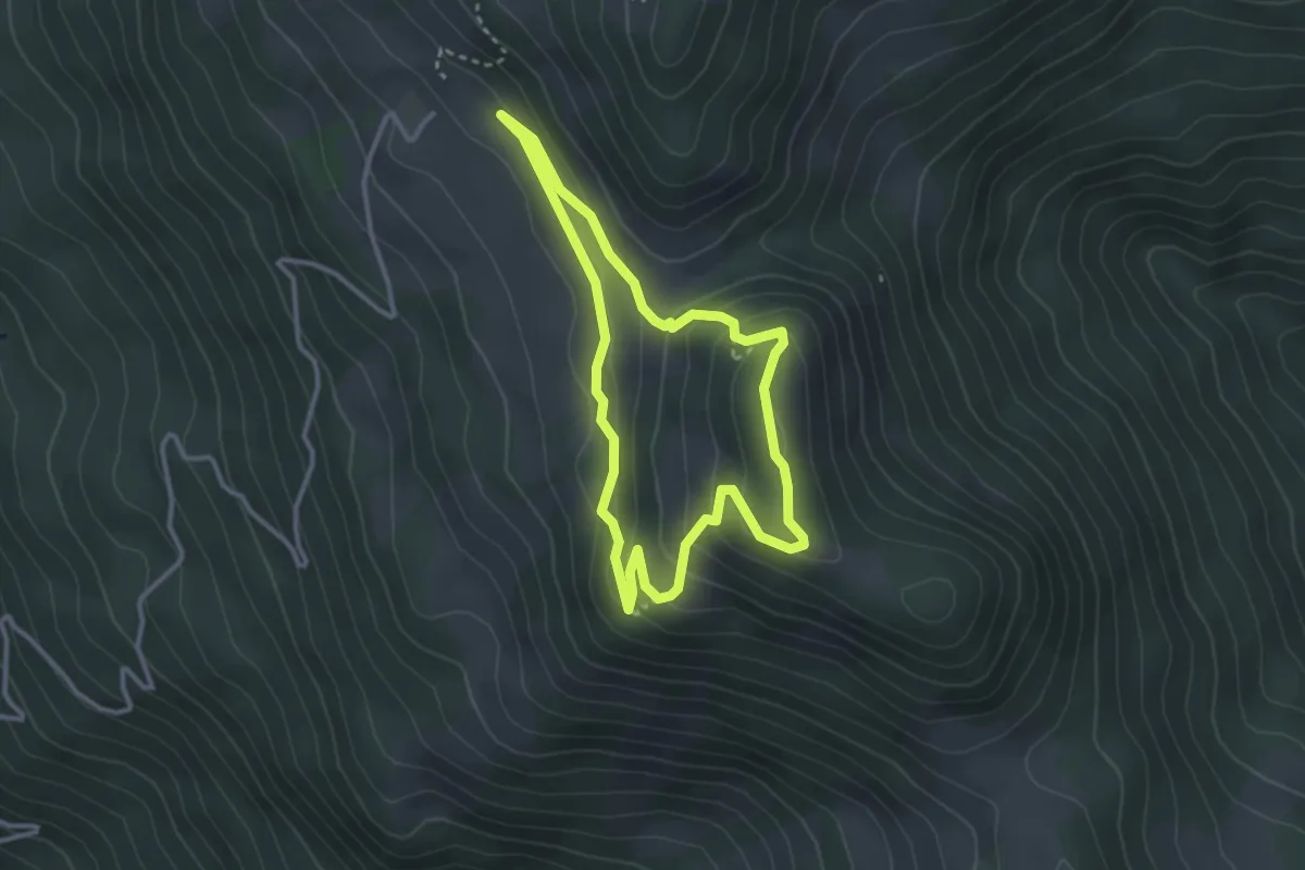
Arnika-Jufen Steig
2.9 km · ↑ 154 m · 1 h 3 min · 12 km away
Easy · Trail
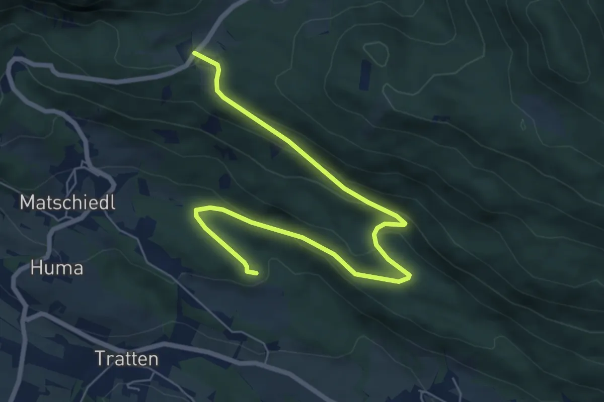
Wanderweg Tratten - Windische Hoehe
7.0 km · ↑ 254 m · 2 h 13 min · 12 km away
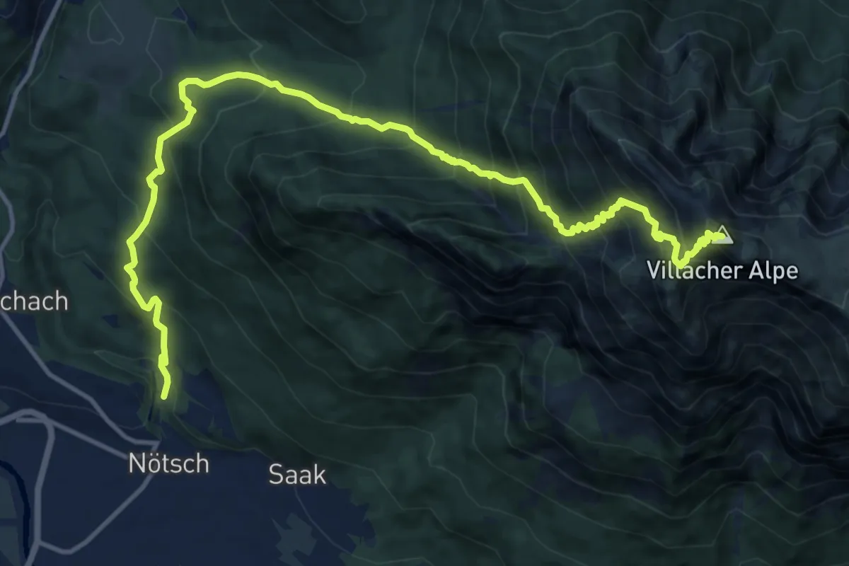
Demanding · Summit
Wanderweg Noetsch - Dobratsch
15.0 km · ↑ 1583 m · 6 h 58 min · 13 km away
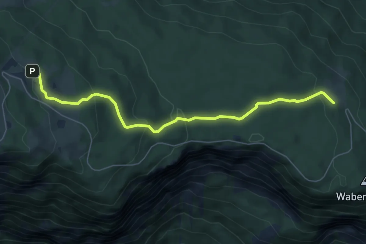
Easy · Trail
Wanderweg 292
5.8 km · ↑ 257 m · 1 h 55 min · 13 km away
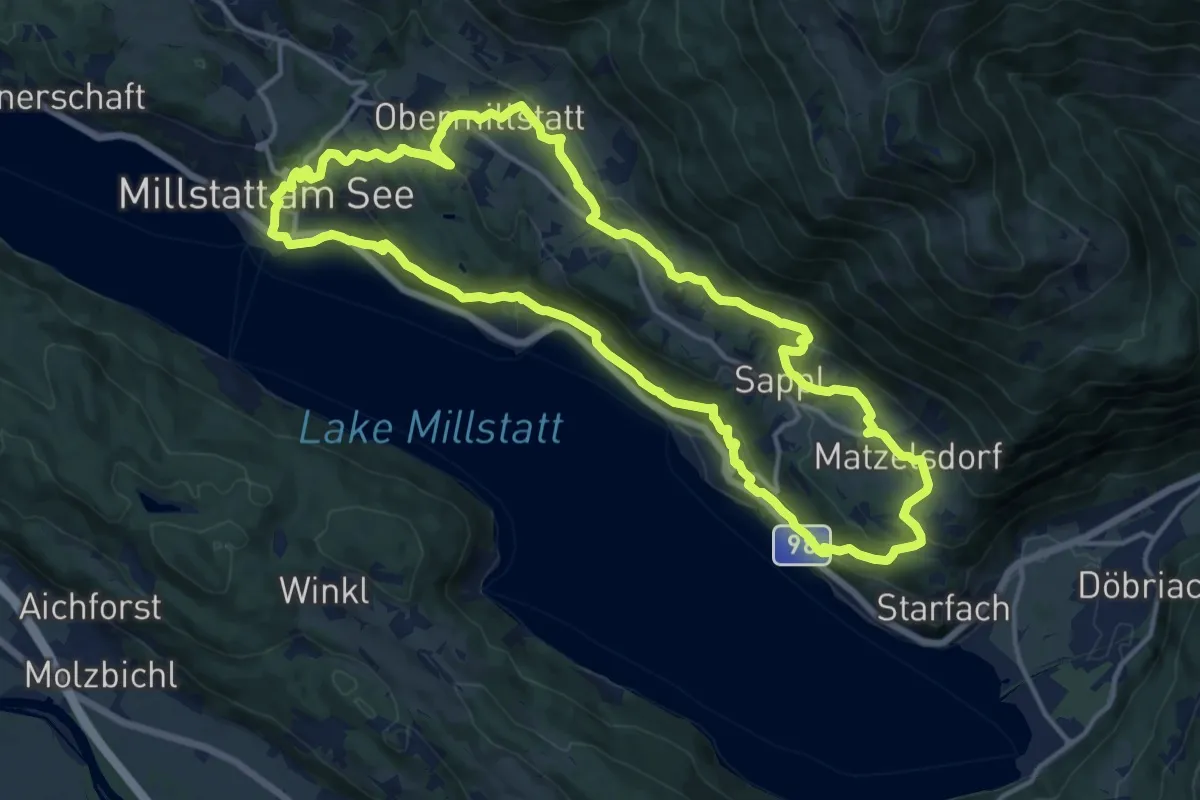
Medium · Pilgrim path
Domitian-Pilgerweg
15.3 km · ↑ 617 m · 5 h 9 min · 13 km away
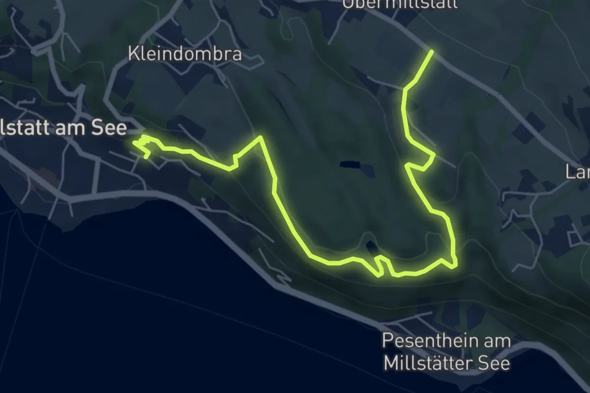
Easy · Trail
33-Millstatt Zwergensee Obermillstatt
7.1 km · ↑ 291 m · 2 h 19 min · 13 km away
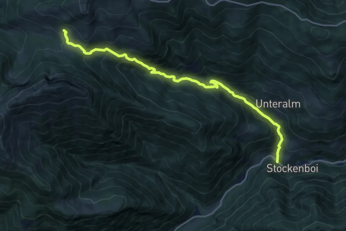
Demanding · Cabin
Wanderweg 283
13.0 km · ↑ 958 m · 5 h 9 min · 13 km away
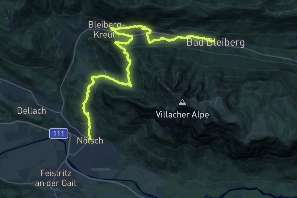
Medium · Trail
Weg des Buches - Etappe 11
13.7 km · ↑ 776 m · 4 h 57 min · 13 km away
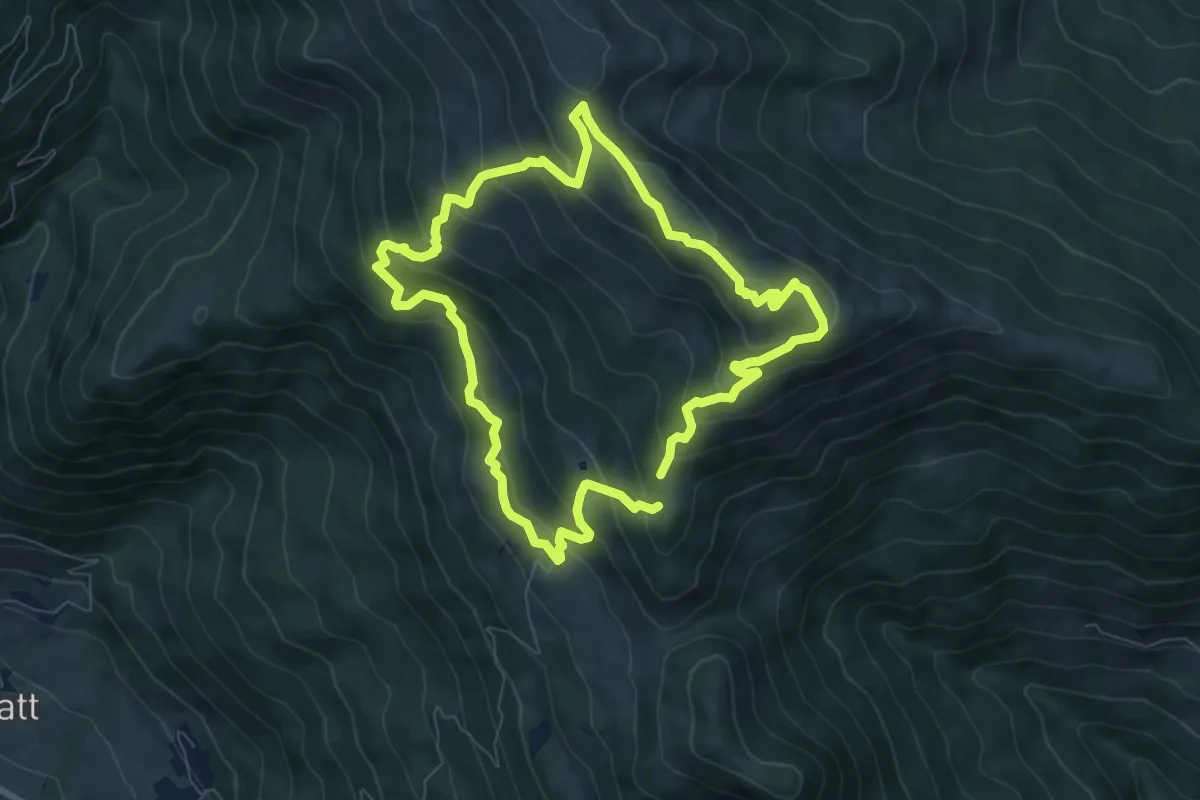
Medium · Summit
Enzian-Granat-Steig
7.1 km · ↑ 479 m · 2 h 48 min · 13 km away
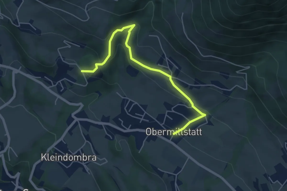
Medium · Trail
66-Obermillstatt-Öttern-Schwaigerschaft
4.7 km · ↑ 271 m · 1 h 42 min · 13 km away
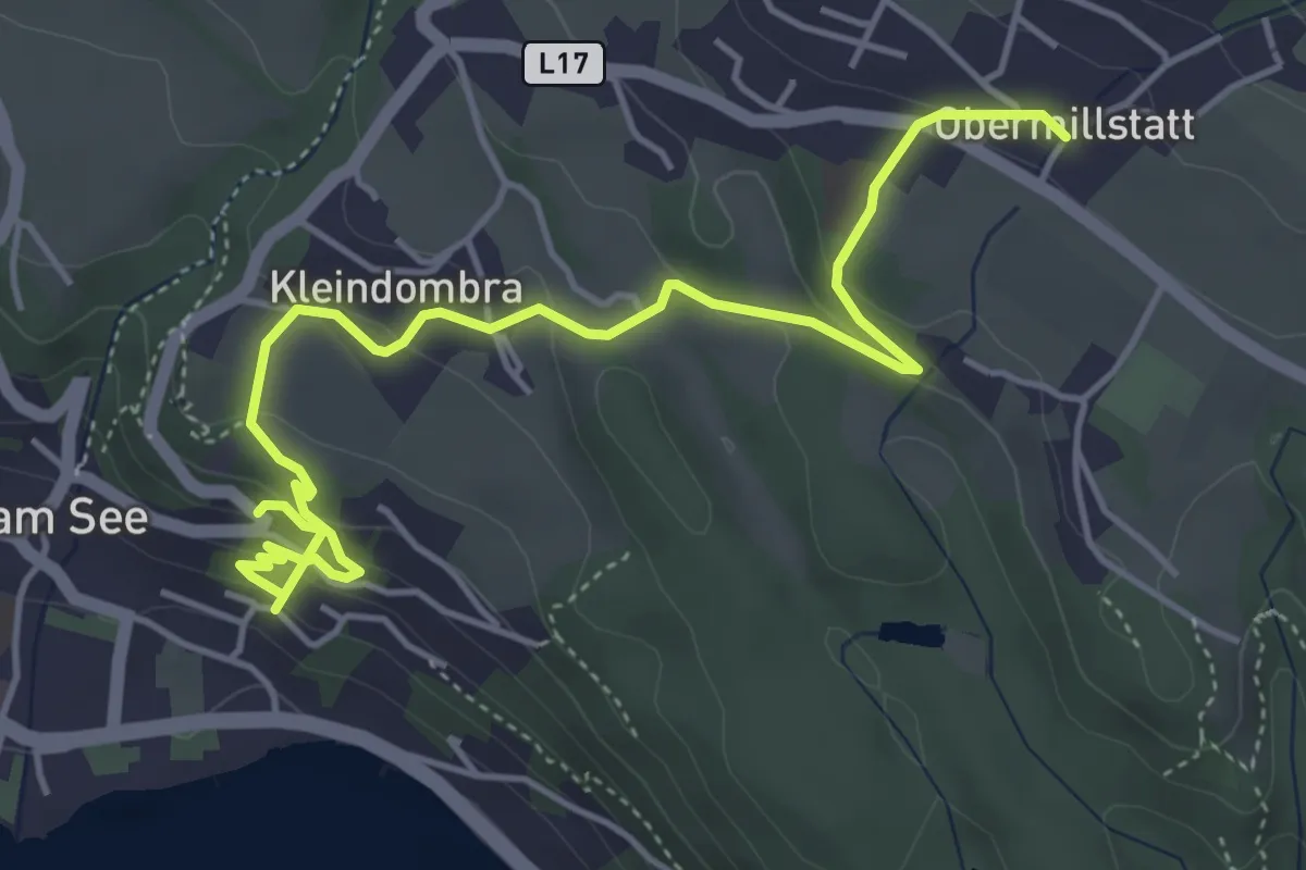
Easy · Trail
35 - Millstatt-Kleindombra-Obermillstatt
5.7 km · ↑ 285 m · 1 h 57 min · 13 km away
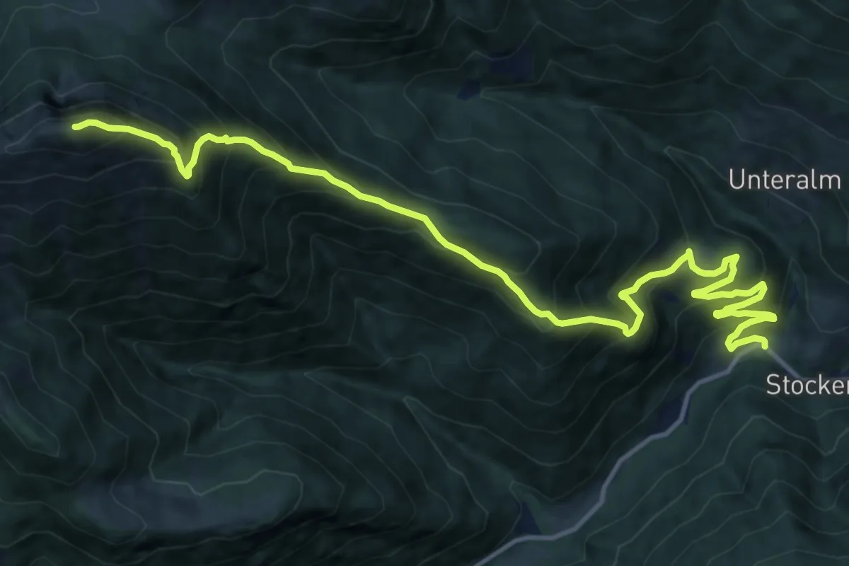
Demanding · Summit
Wanderweg 287
15.5 km · ↑ 1405 m · 6 h 42 min · 13 km away
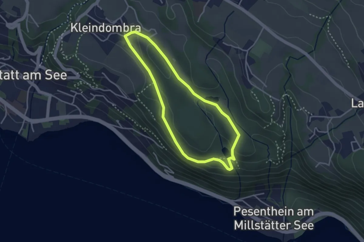
Easy · Trail
Kleindombra-Zwergensee-Klieberteich-Kleindombra
2.8 km · ↑ 59 m · 49 min · 13 km away
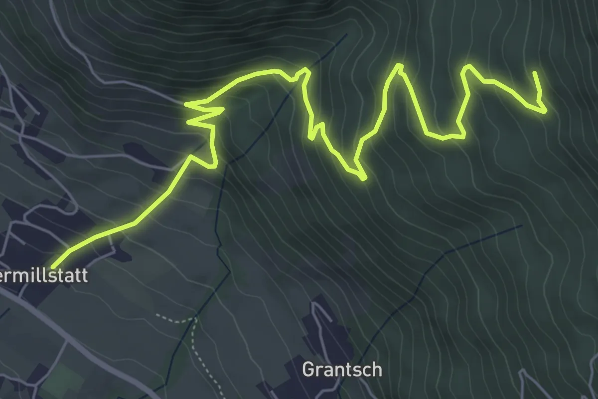
Medium · Trail
Lärchriegelsteig - 192
8.0 km · ↑ 546 m · 3 h 4 min · 13 km away
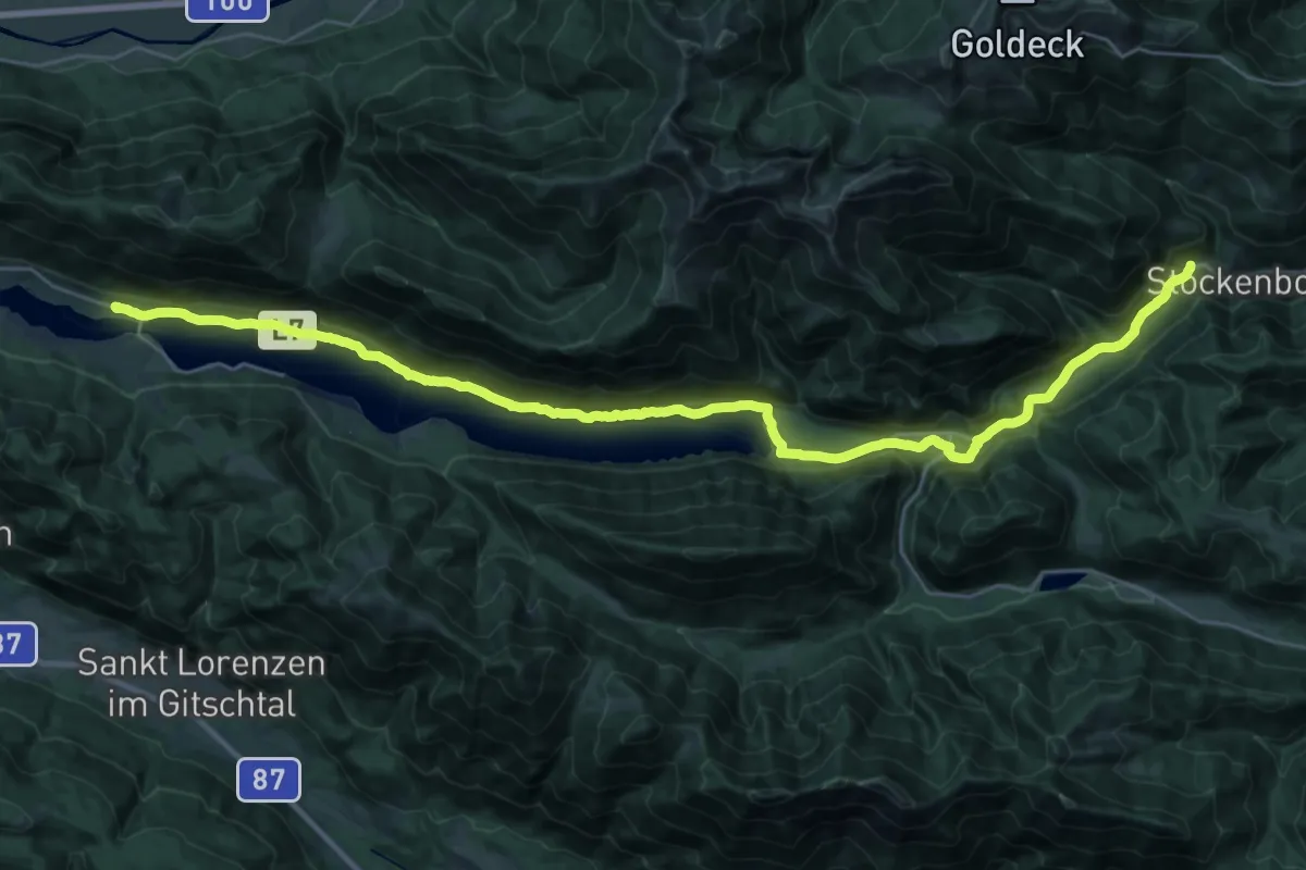
Demanding · Trail
Weg des Buches - Etappe 8
18.2 km · ↑ 289 m · 5 h 7 min · 13 km away
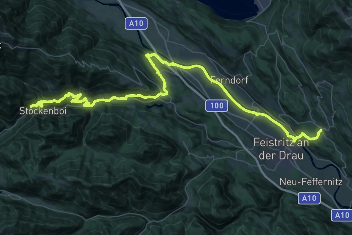
Demanding · Trail
Weg des Buches - Etappe 7
25.0 km · ↑ 564 m · 7 h 34 min · 13 km away
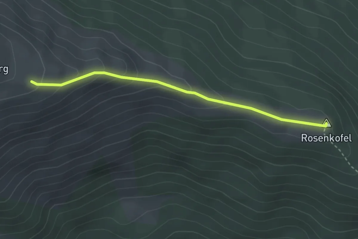
Easy · Summit
153
2.8 km · ↑ 140 m · 58 min · 14 km away
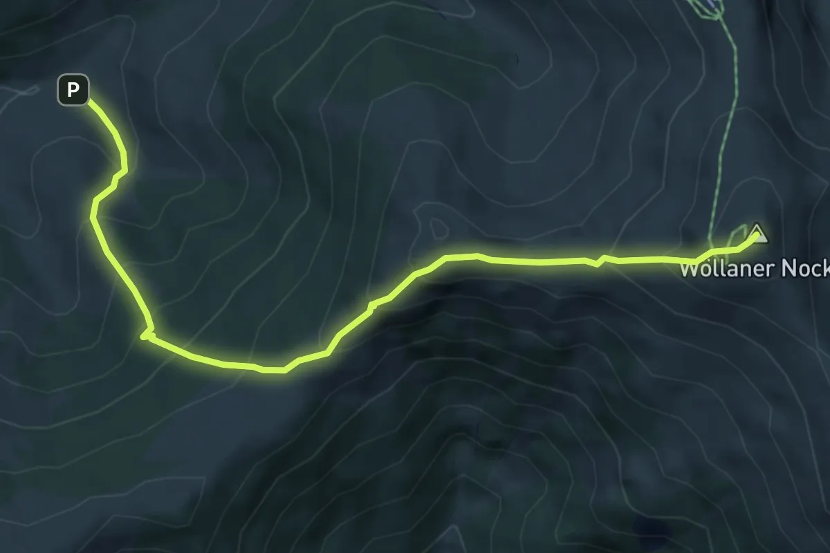
Medium · Summit
Wanderweg 167
6.5 km · ↑ 661 m · 2 h 58 min · 14 km away
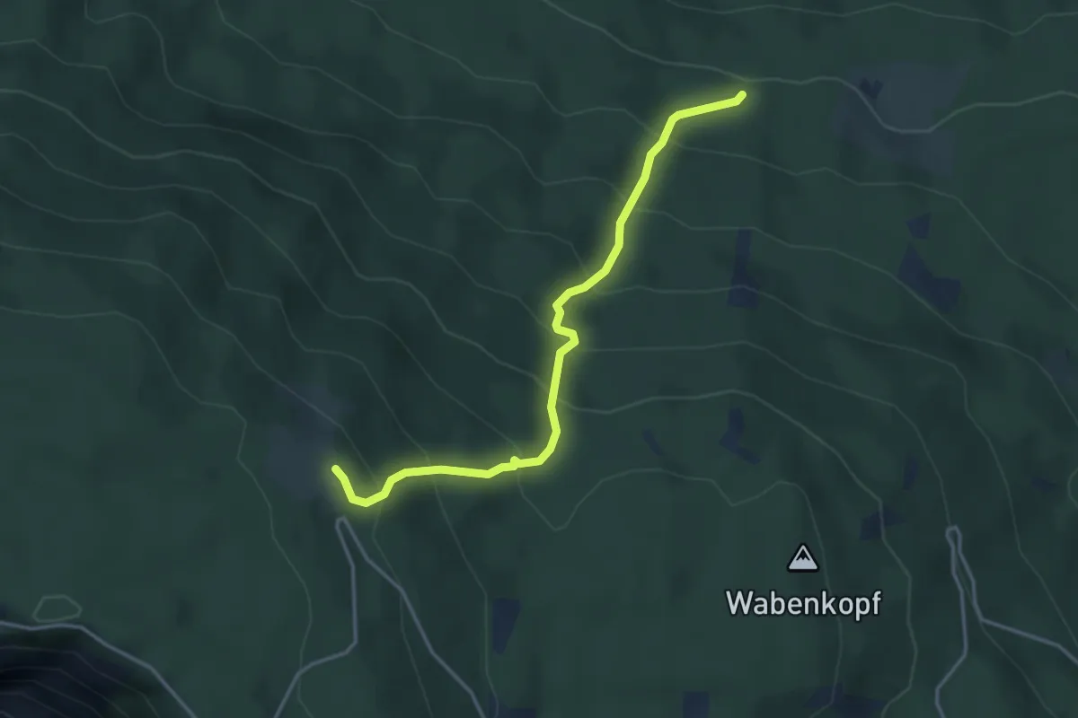
Medium · Trail
Wanderweg 293
3.7 km · ↑ 416 m · 1 h 46 min · 14 km away
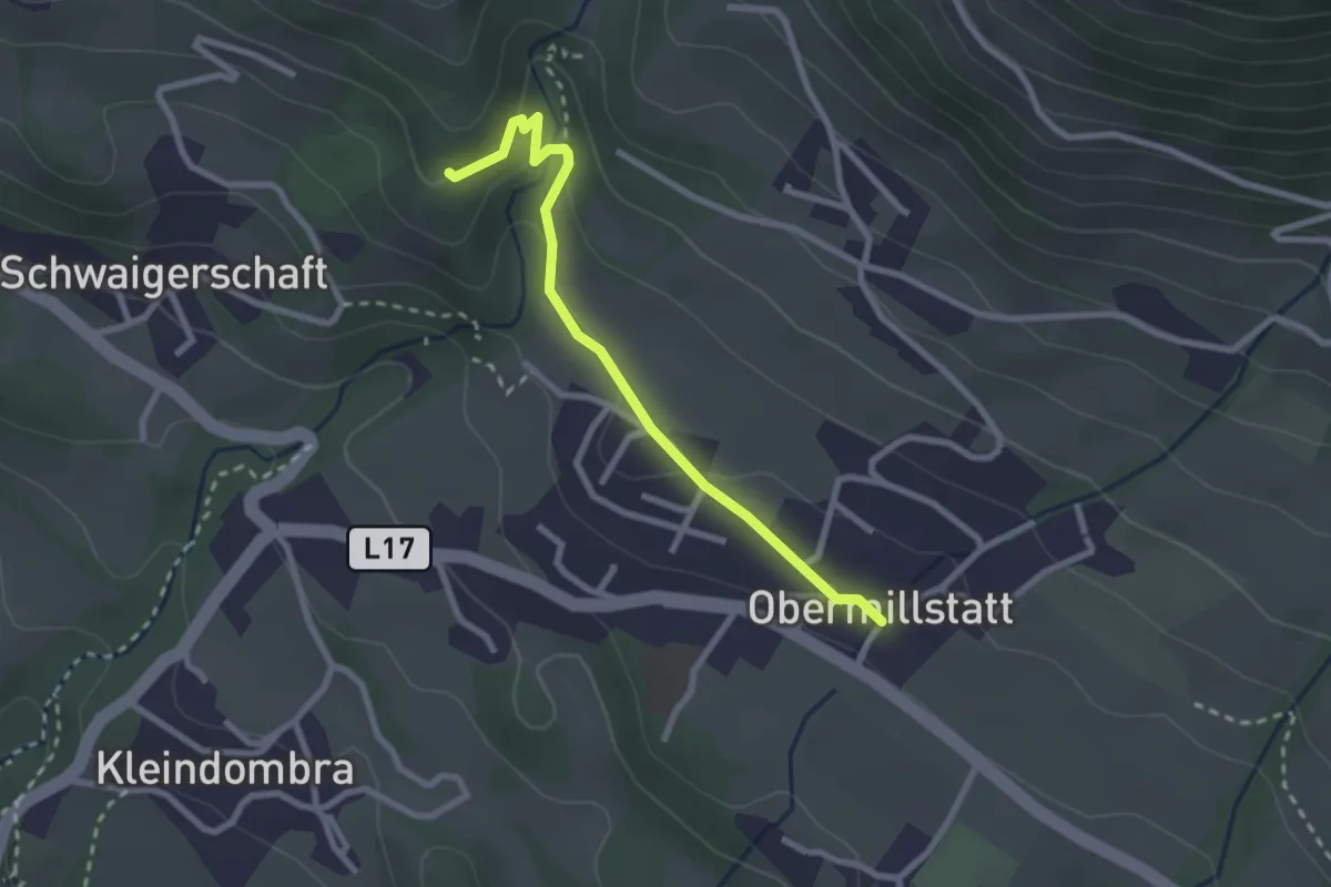
Medium · Trail
36 - Schwaigerschaft-Obermillstatt
2.5 km · ↑ 87 m · 46 min · 14 km away
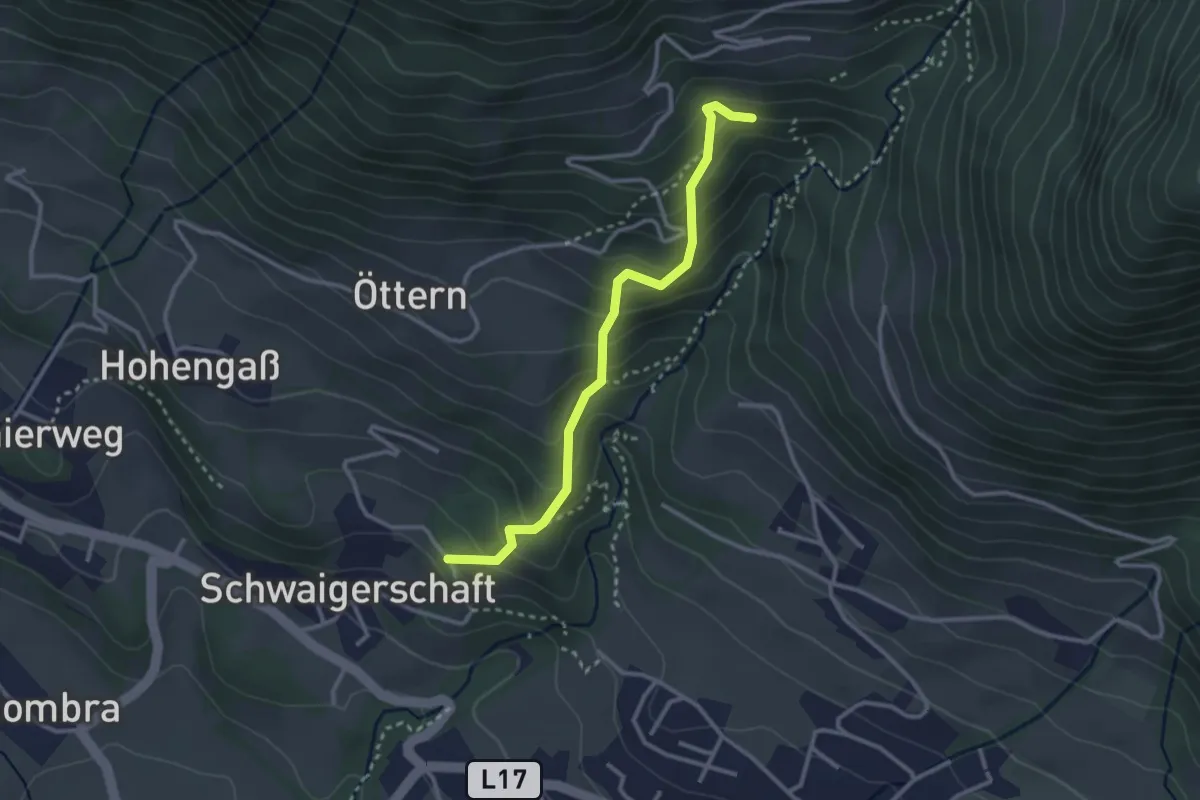
Medium · Trail
36a Schwaigerschaft-Alexanderhütte (alter Bergweg)
2.9 km · ↑ 259 m · 1 h 15 min · 14 km away
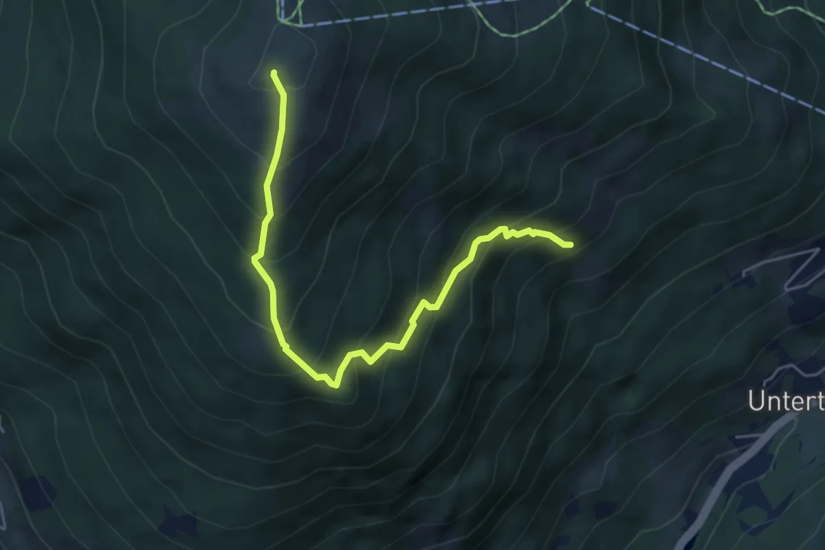
Medium · Summit
1621
4.9 km · ↑ 540 m · 2 h 20 min · 14 km away
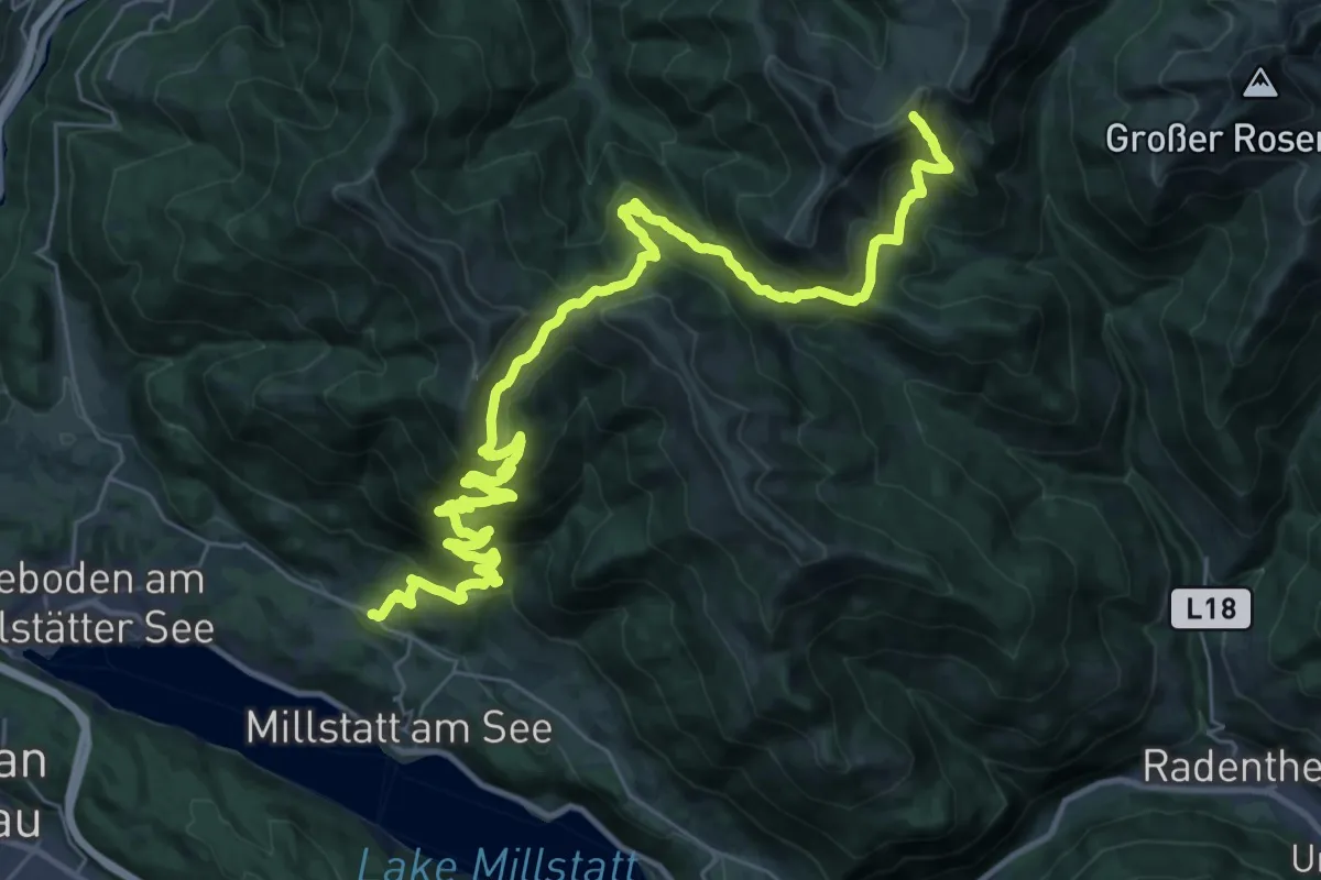
Demanding · Summit
Wanderweg 194
41.8 km · ↑ 2009 m · 14 h 14 min · 15 km away
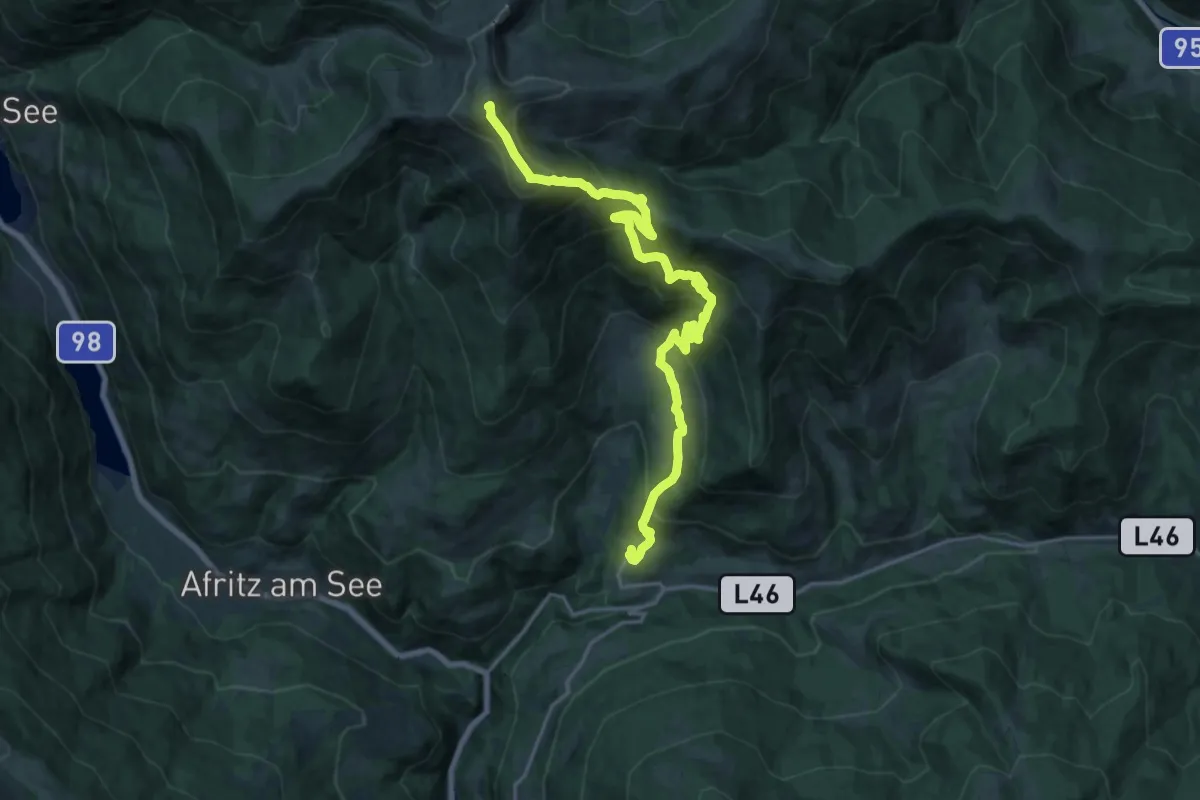
Demanding · Summit
Weg des Buches - Etappe 4
21.3 km · ↑ 1329 m · 7 h 55 min · 15 km away
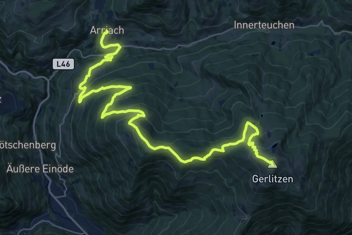
Demanding · Summit
Alpe Adria Trail E18
31.8 km · ↑ 1464 m · 10 h 41 min · 15 km away
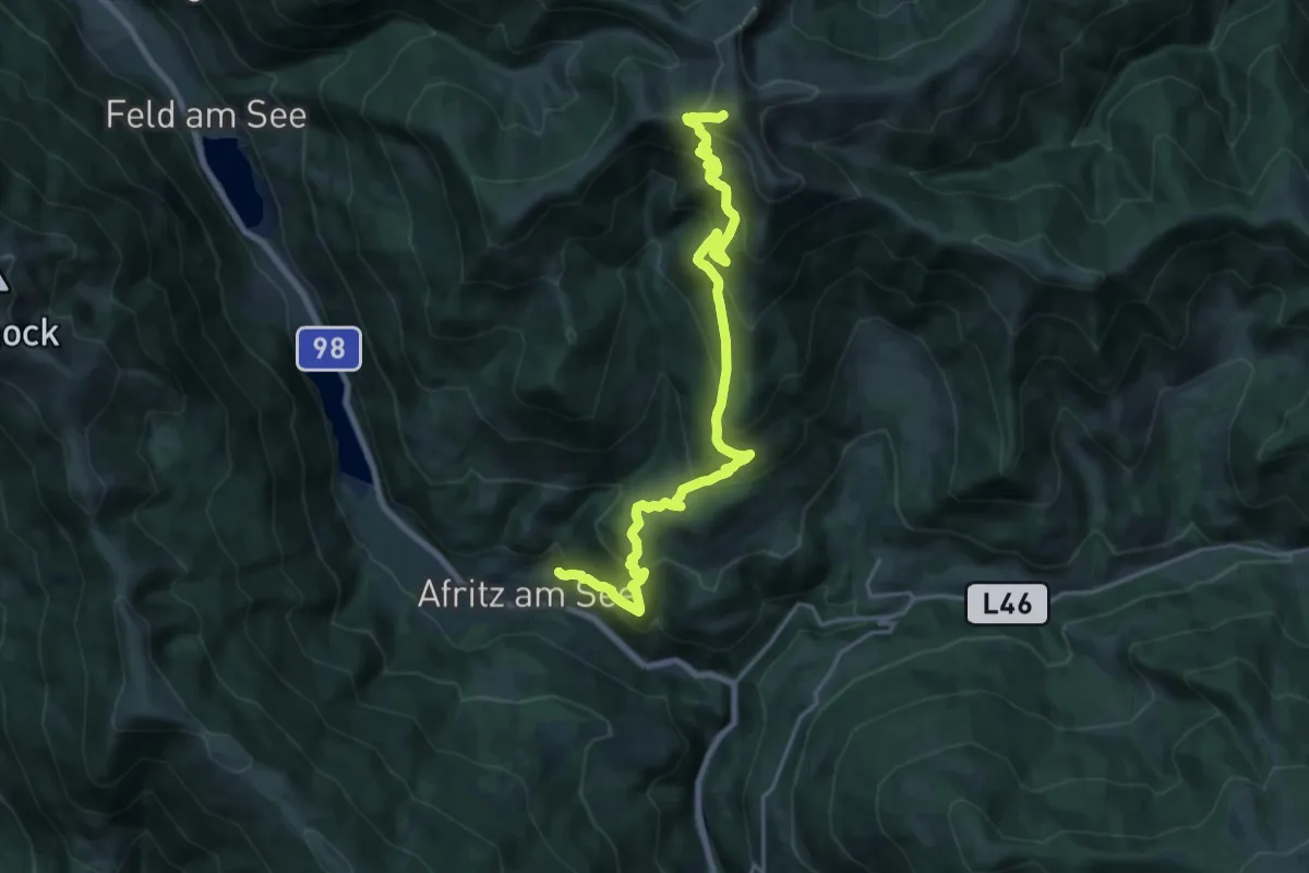
Medium · Trail
Wanderweg 166
10.9 km · ↑ 0 m · 3 h 25 min · 15 km away
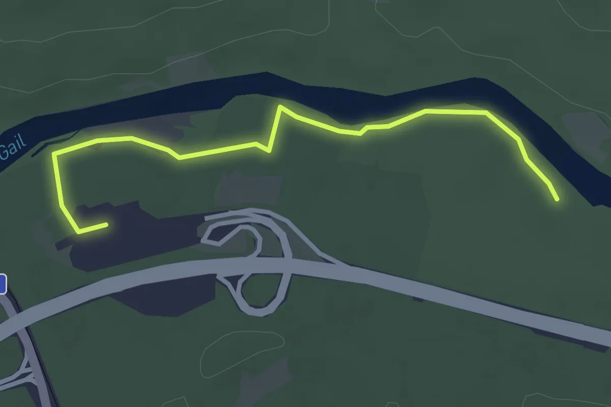
Easy · Trail
Waldweg zur Südrast
3.3 km · ↑ 9 m · 48 min · 15 km away