Trails near Kötschach
66 hikes starting within 15 km, nearest first.
Nearest first, page 2 of 2
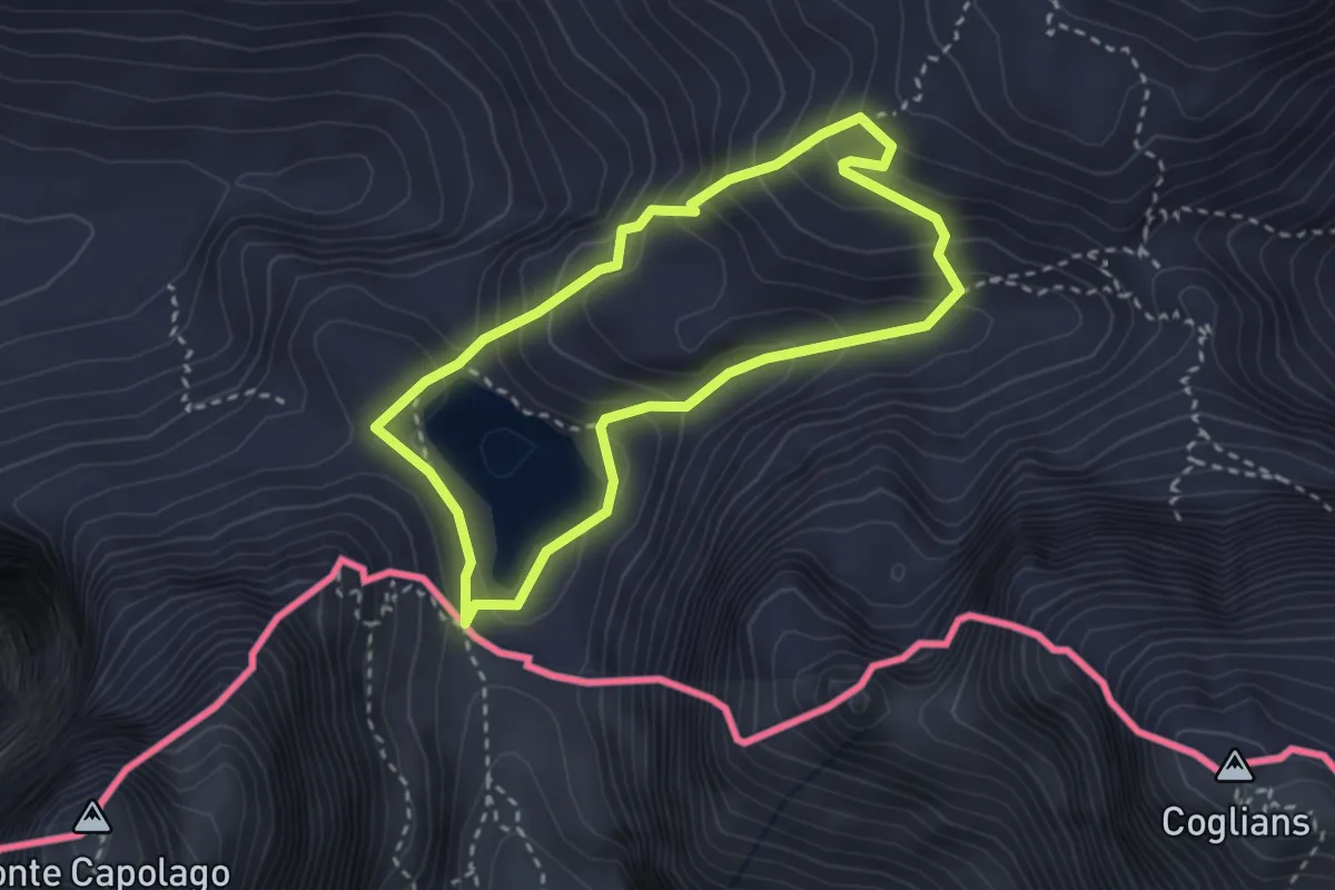
Medium · Summit
Geotrail Wolayasee
2.7 km · ↑ 238 m · 1 h 11 min · 13 km away
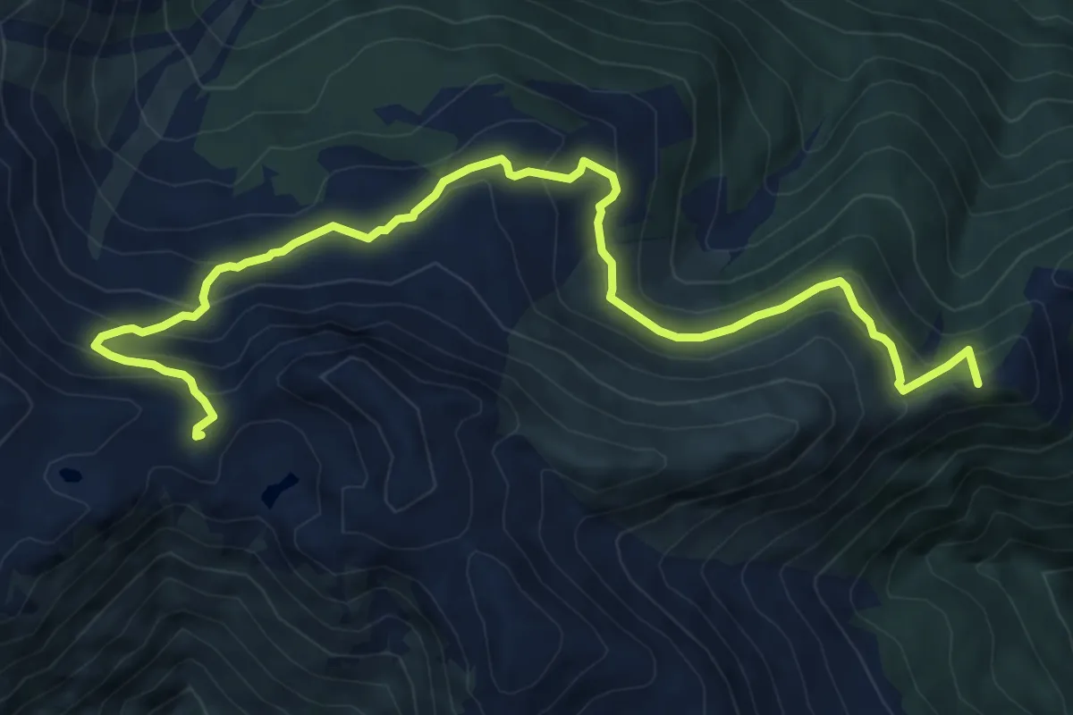
Medium · Summit
Castel Valdajer – Ligosullo (quota 1340 m) – Casera Montelago (quota 1920 m)
9.4 km · ↑ 642 m · 3 h 37 min · 13 km away
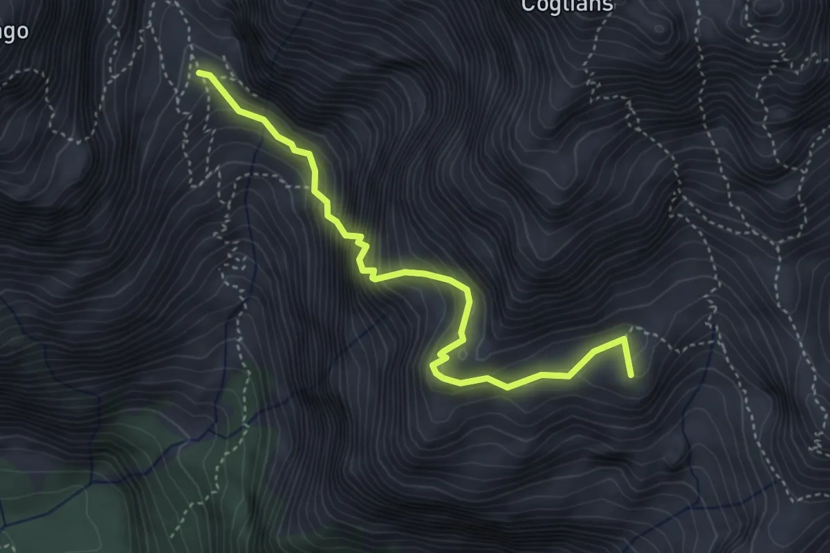
Expert · Summit
Sentiero attrezzato "Riccardo Spinotti"
4.1 km · ↑ 603 m · 2 h 16 min · 13 km away
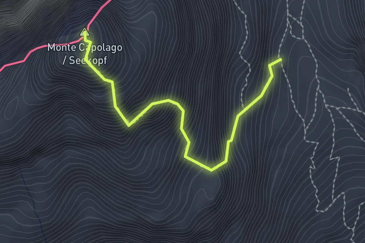
Expert · Summit
Via normale Monte Capolago
2.3 km · ↑ 644 m · 1 h 56 min · 13 km away
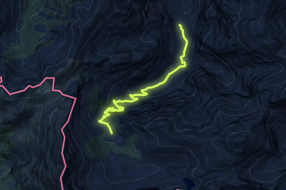
Medium · Trail
Wanderweg 438
10.8 km · ↑ 565 m · 3 h 46 min · 14 km away
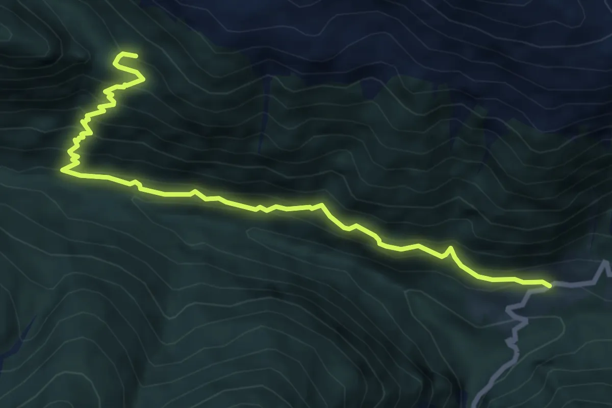
Medium · Trail
Casera Ramaz (quota 1050 m) – Casera Lodin, bivio sentiero 454 (quota 1450 m)
7.3 km · ↑ 628 m · 3 h 5 min · 14 km away
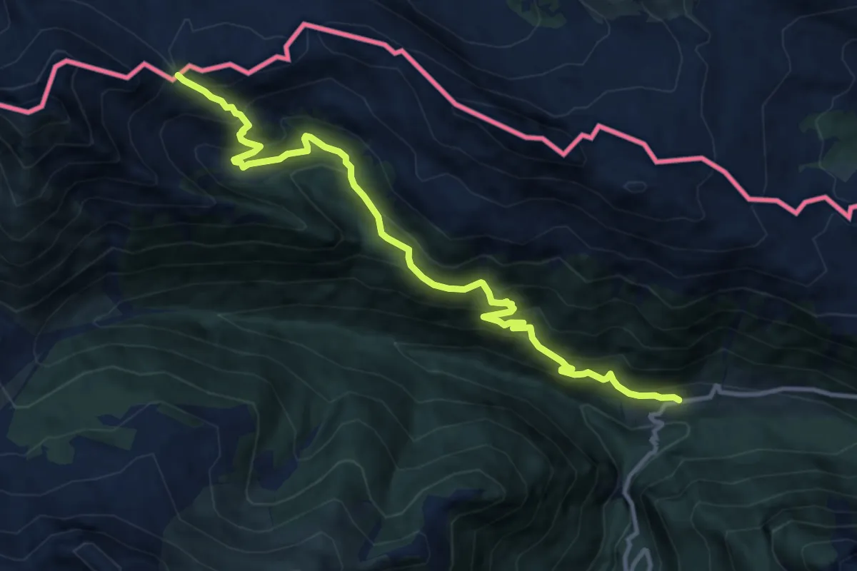
Demanding · Trail
Casera Ramaz (quota 1050 m) – Passo Pecol di Chiaula (quota 1873 m)
11.5 km · ↑ 883 m · 4 h 38 min · 14 km away
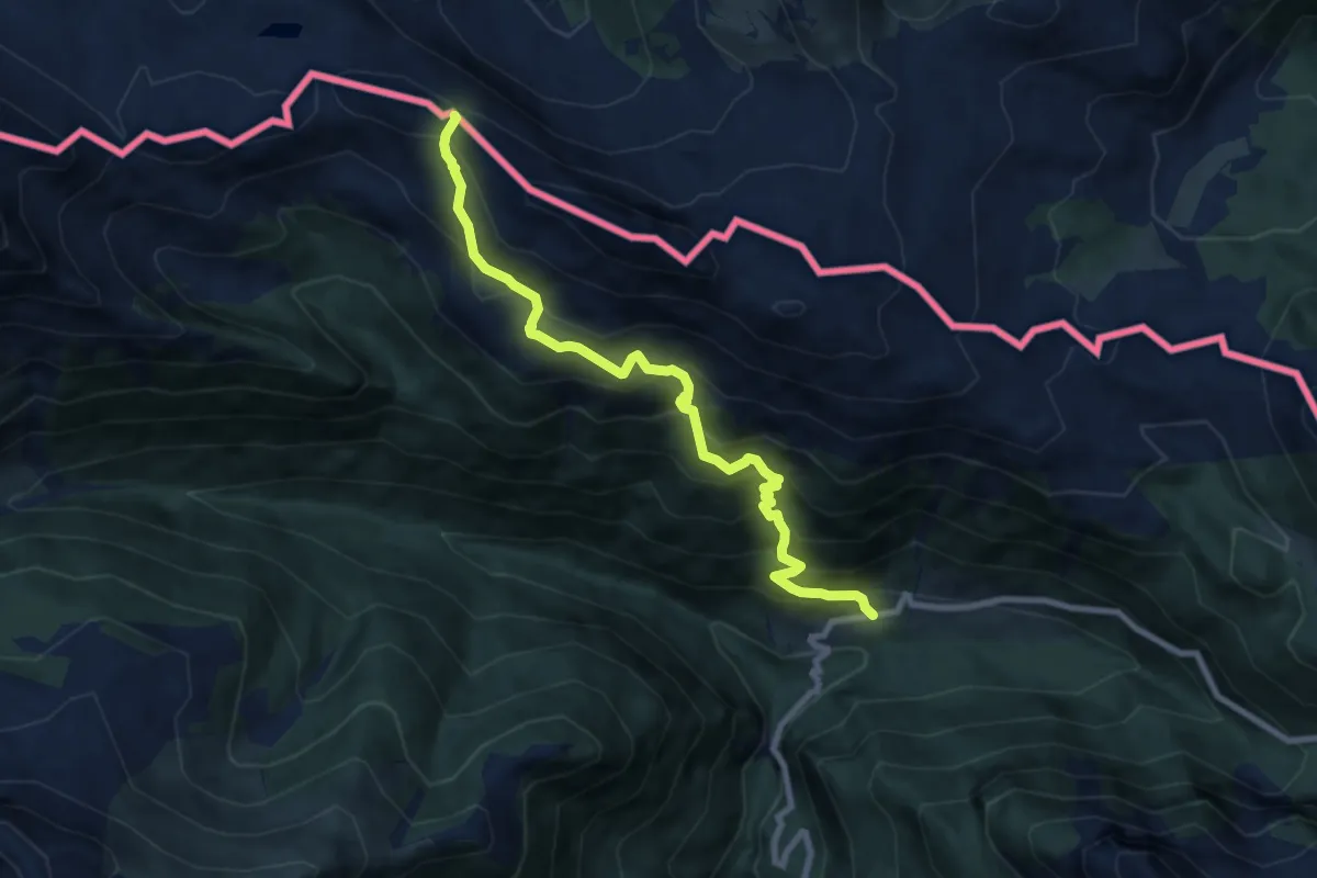
Demanding · Trail
Casera Ramaz (quota 1050 m) – Casera Lodin Alta (quota 1680 m)
8.4 km · ↑ 864 m · 3 h 51 min · 14 km away
Demanding · Trail
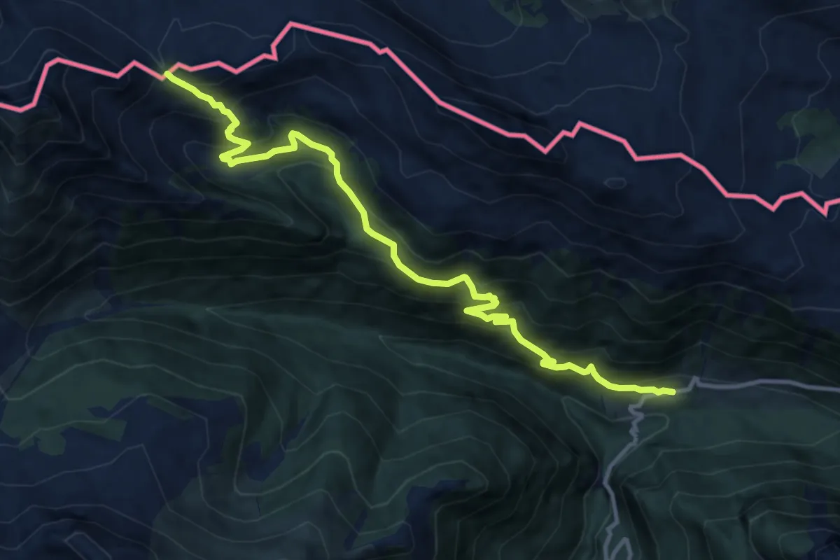
Sentiero dei Silenzi
11.7 km · ↑ 893 m · 4 h 42 min · 14 km away
Demanding · Trail
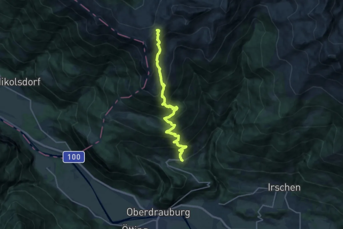
AV Weg 316
14.2 km · ↑ 1270 m · 6 h 6 min · 14 km away
Medium · Summit
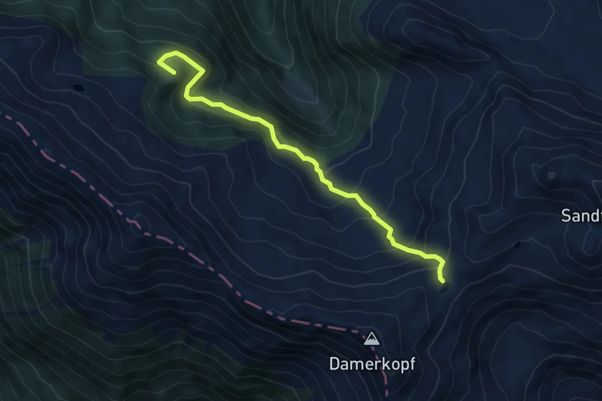
AV Weg 318A
5.8 km · ↑ 467 m · 2 h 23 min · 14 km away
Medium · Trail
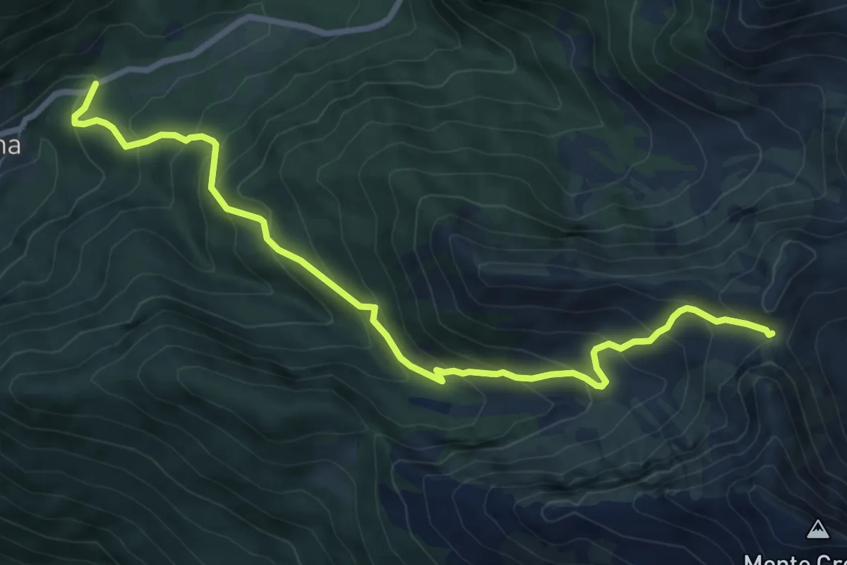
Località Edelweiss (quota 1224 m) – Forcella Plumbs (bivio sentiero n. 174 quota 1976 m)
8.6 km · ↑ 749 m · 3 h 38 min · 14 km away
Medium · Summit
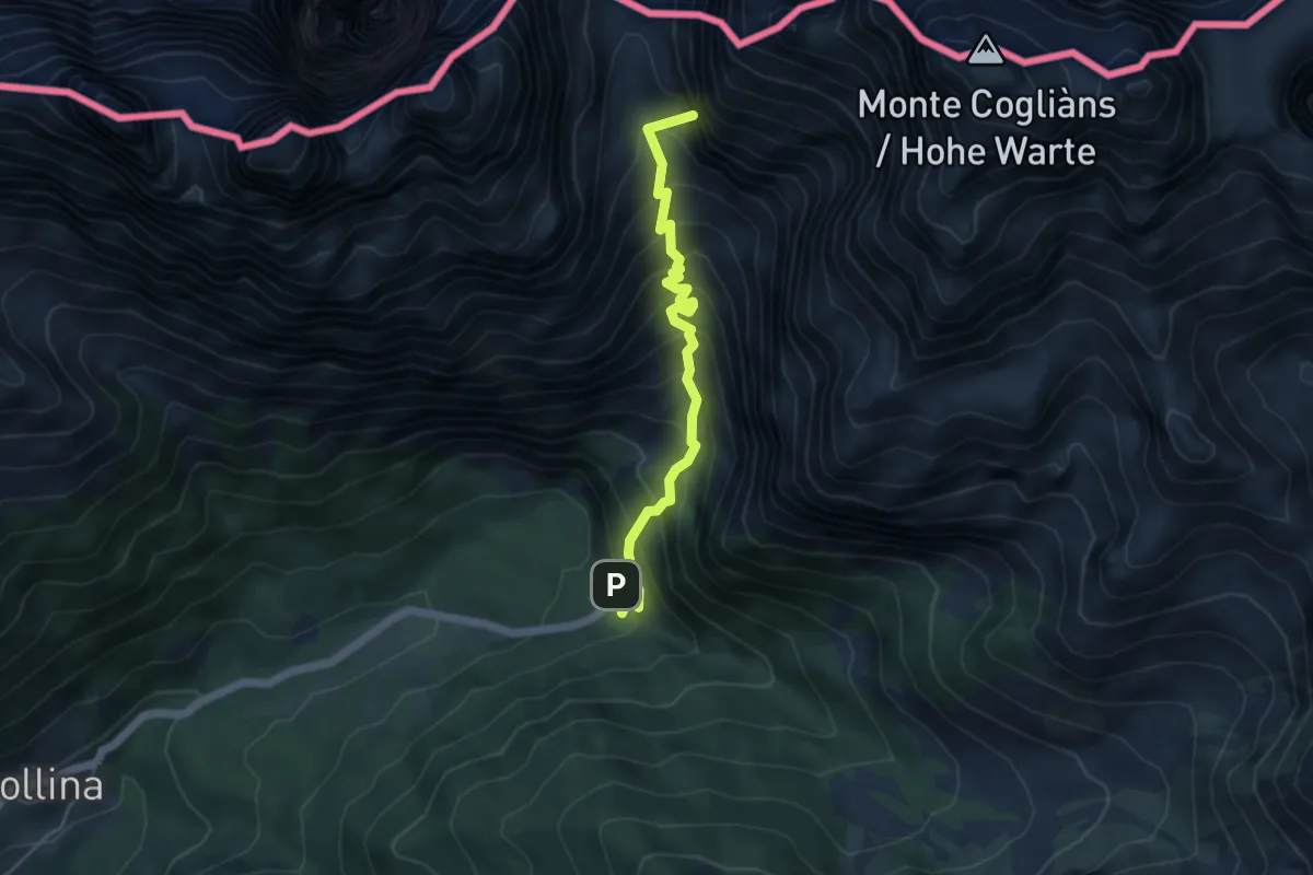
Rifugio Tolazzi (quota 1350 m) – Passo Volaia (quota 1955 m)
4.8 km · ↑ 608 m · 2 h 26 min · 14 km away
Demanding · Summit
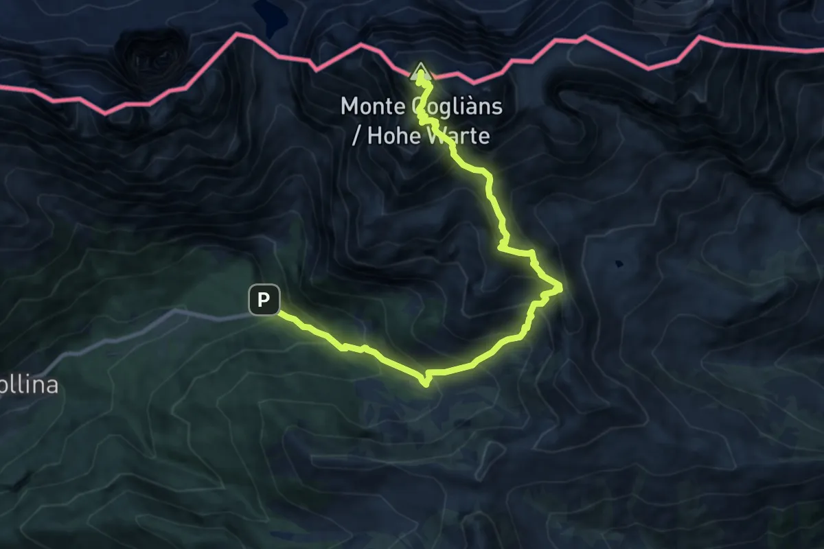
Rifugio Tolazzi (quota 1350 m) – Monte Cogliàns (quota 2780 m)
11.4 km · ↑ 1570 m · 6 h 5 min · 14 km away
Demanding · Summit
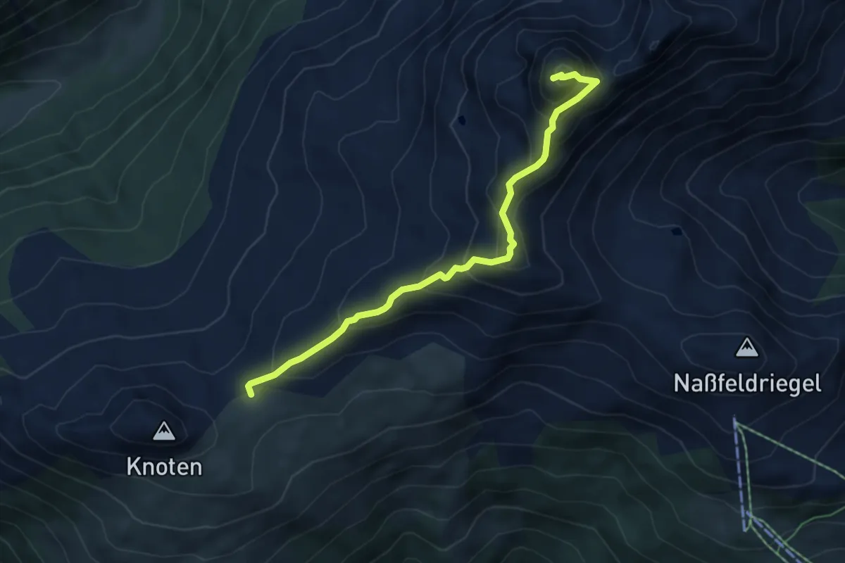
AV Weg 330
5.3 km · ↑ 508 m · 2 h 21 min · 14 km away
Medium · Trail
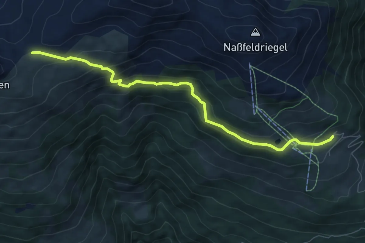
AV Weg 331 (Oberdrautal weg)
7.3 km · ↑ 368 m · 2 h 31 min · 14 km away
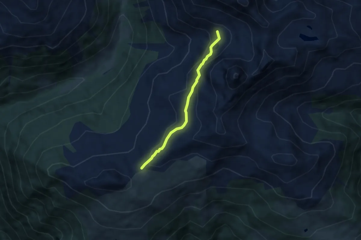
Medium · Summit
AV Weg 333
5.0 km · ↑ 300 m · 1 h 50 min · 14 km away
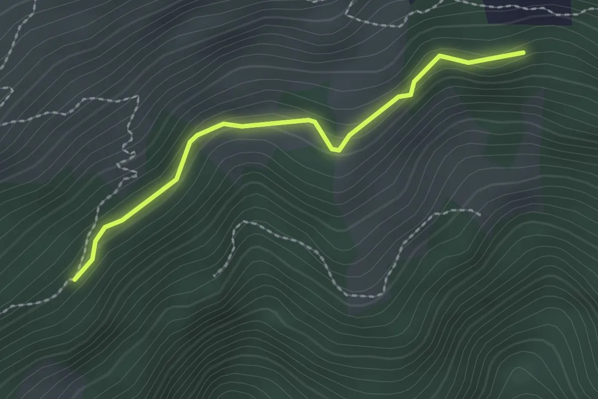
Easy · Trail
AV Weg 334
2.1 km · ↑ 47 m · 35 min · 15 km away