Trails near Leibnitz
115 hikes starting within 15 km, nearest first.
Nearest first, page 2 of 3
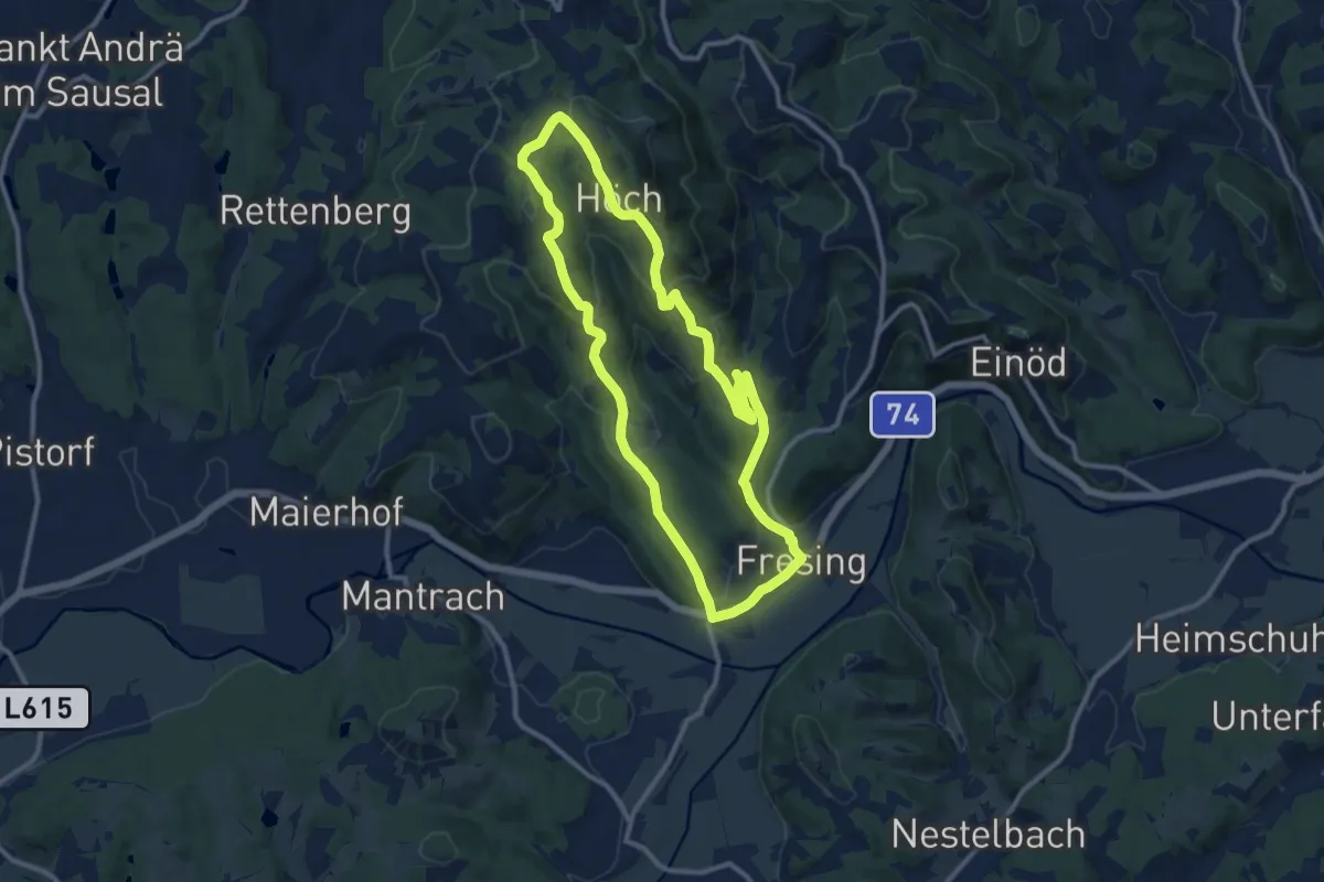
Medium · Trail
Fresing - Demmerkogel Runde
10.4 km · ↑ 340 m · 3 h 20 min · 8 km away
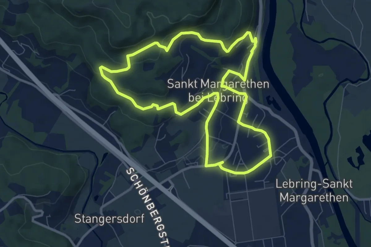
Easy · Trail
Rundwanderweg Lebring
8.0 km · ↑ 173 m · 2 h 22 min · 8 km away
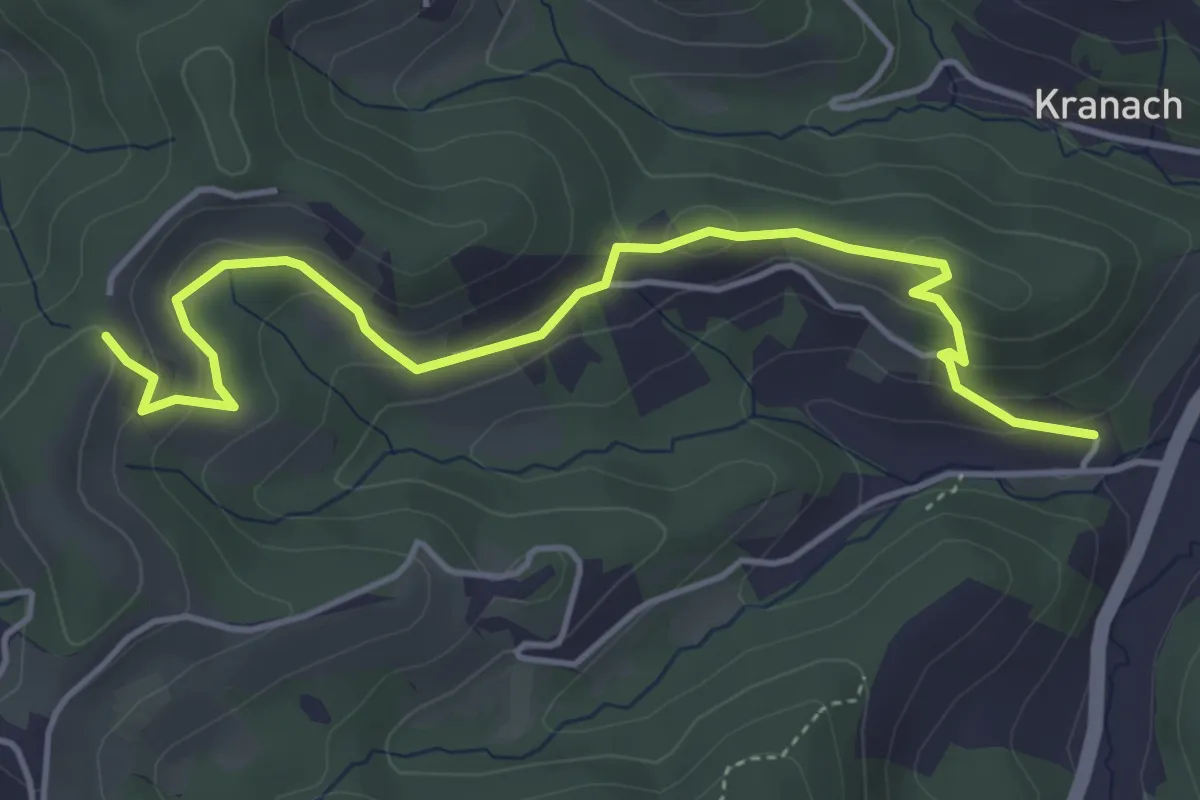
Easy · Trail
Über Stock und Wein - Variante
5.0 km · ↑ 215 m · 1 h 38 min · 8 km away
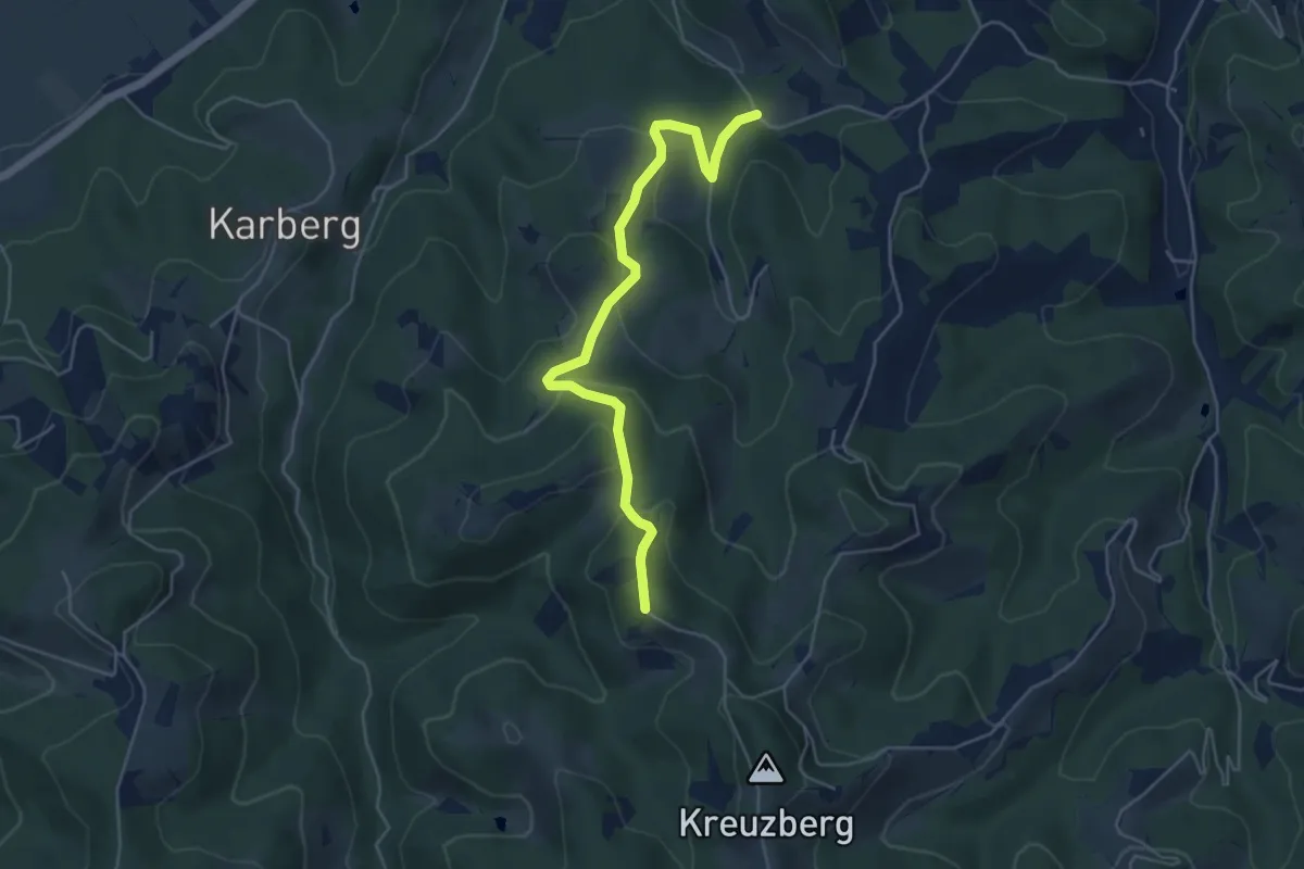
Easy · Trail
Großkleiner Harmonieweg - Variante
5.1 km · ↑ 247 m · 1 h 45 min · 8 km away
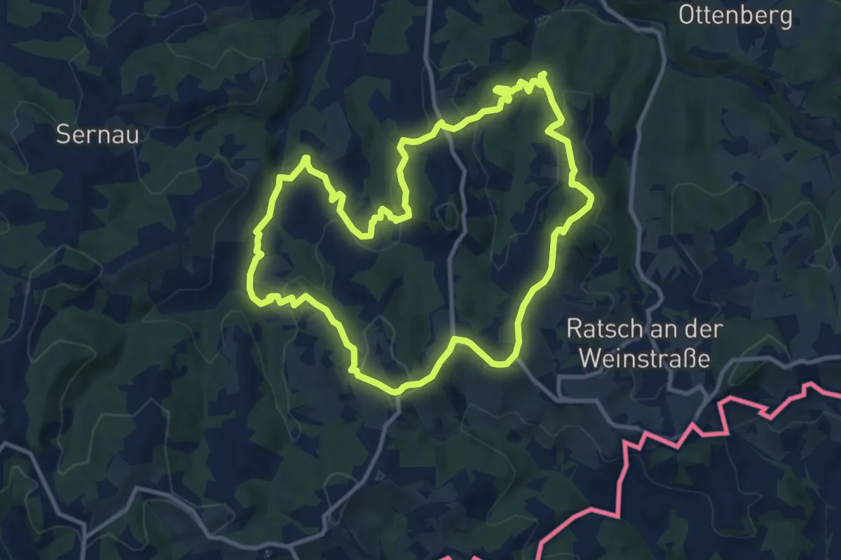
Medium · Trail
Eckberg - Steinbach - Ratsch
10.5 km · ↑ 420 m · 3 h 32 min · 9 km away
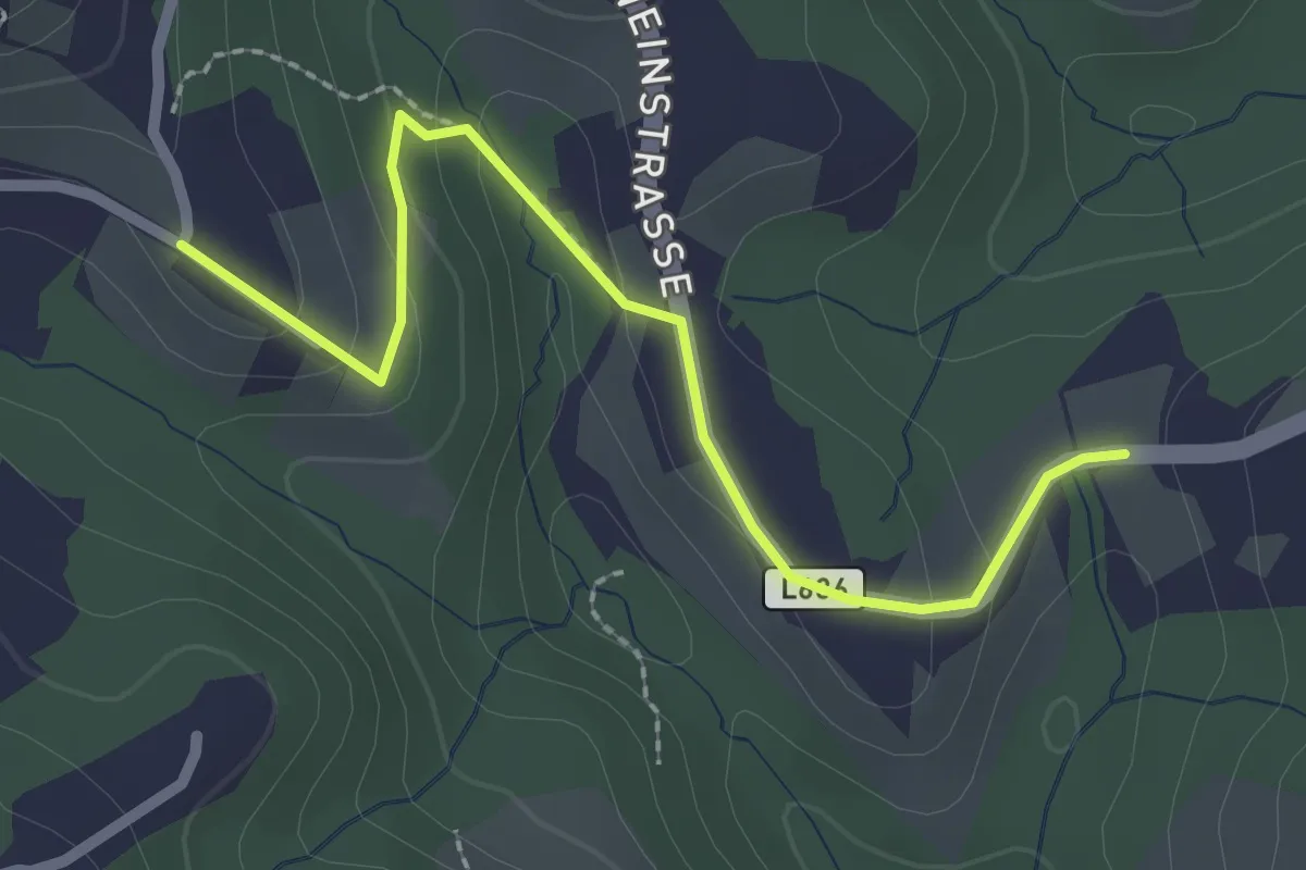
Easy · Trail
Wanderweg 8a
2.5 km · ↑ 132 m · 52 min · 9 km away
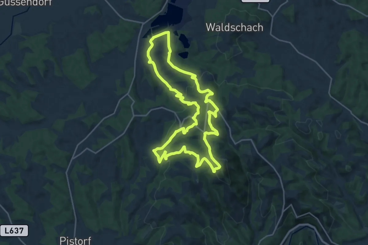
Medium · Summit
Neudorf-Demmerkogel Runde Nr. 22
16.7 km · ↑ 668 m · 5 h 37 min · 9 km away
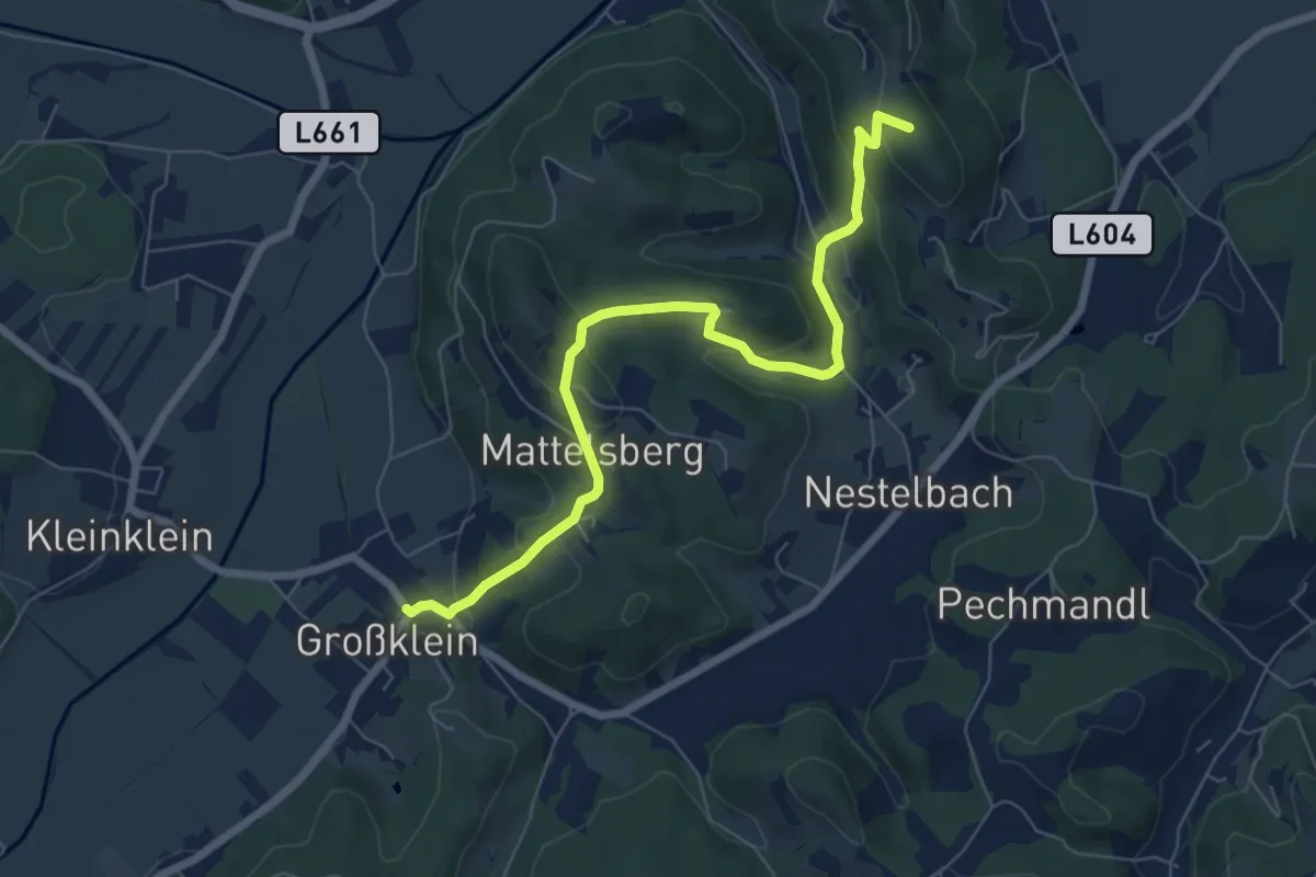
Medium · Trail
Mattelsberger Rundwanderweg Abschneider
7.3 km · ↑ 346 m · 2 h 29 min · 9 km away
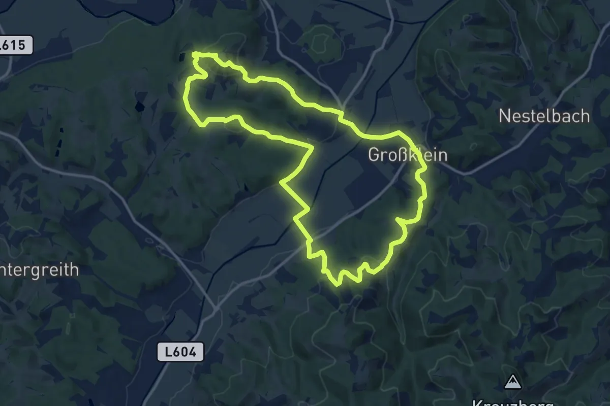
Medium · Summit
Fürstengräberweg
12.2 km · ↑ 359 m · 3 h 50 min · 9 km away
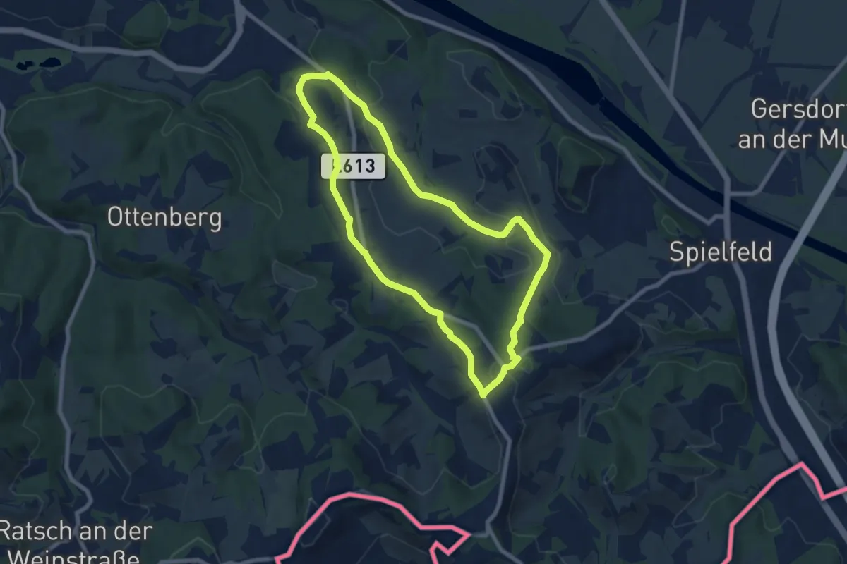
Easy · Trail
Berghausen 2
6.9 km · ↑ 164 m · 2 h 4 min · 9 km away
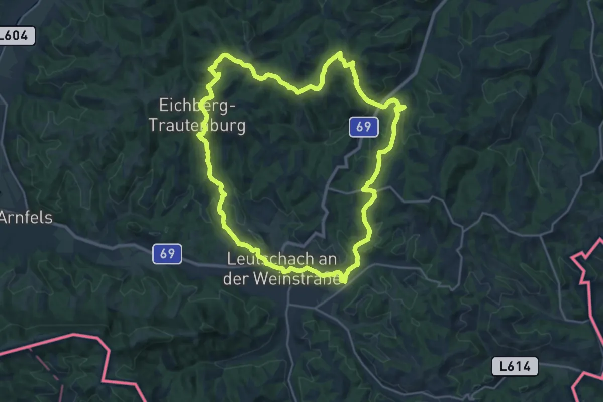
Medium · Trail
Kleeblattwanderweg Nr. 4
17.5 km · ↑ 627 m · 5 h 43 min · 9 km away
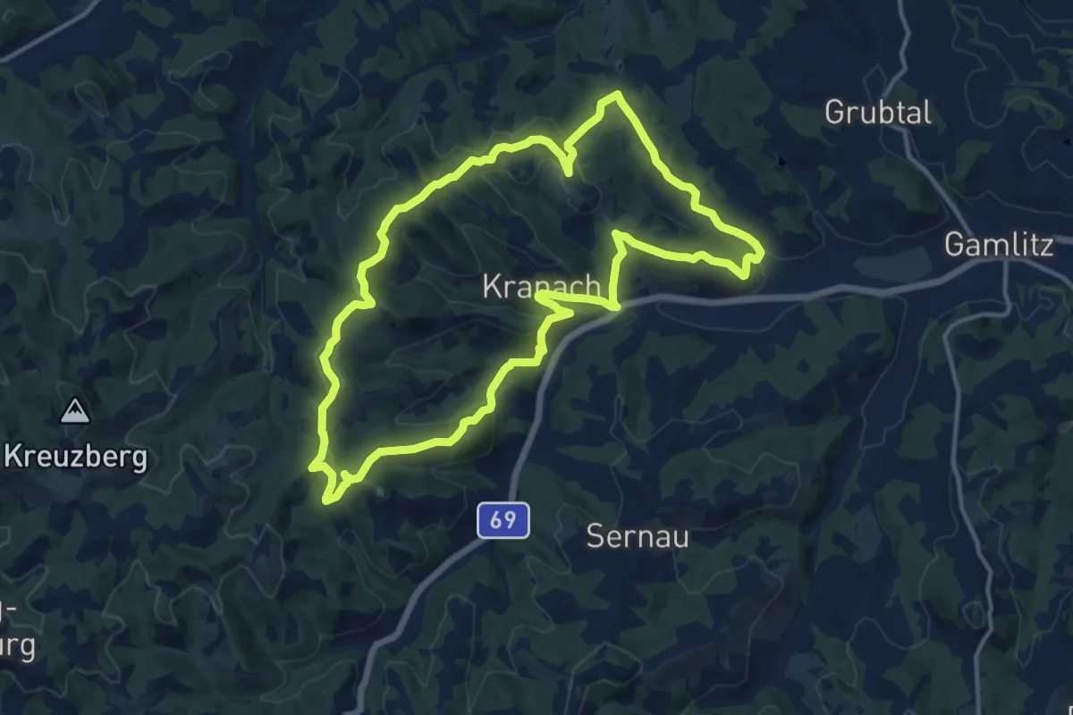
Medium · Summit
Über Stock und Wein
12.9 km · ↑ 484 m · 4 h 17 min · 9 km away
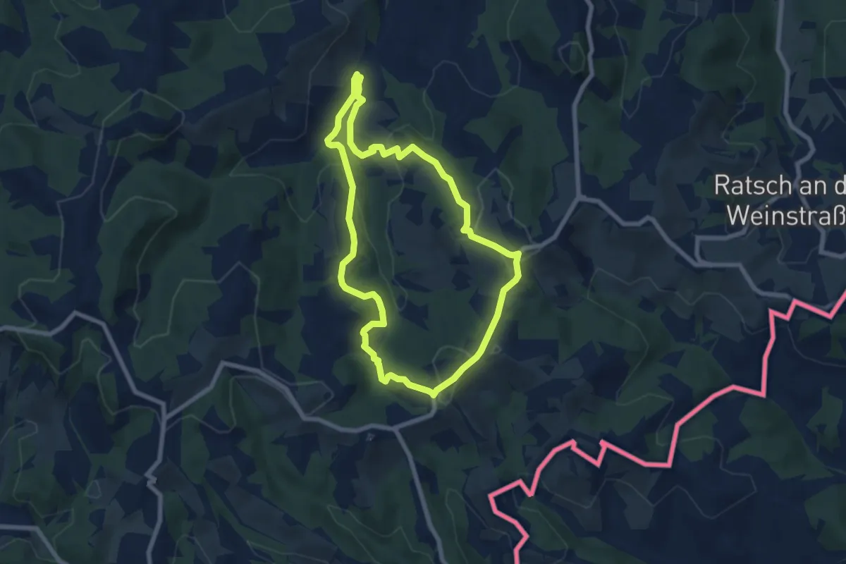
Easy · Trail
Steinbach - Südsteir. Weinstraße - Eckberg
6.5 km · ↑ 277 m · 2 h 14 min · 10 km away
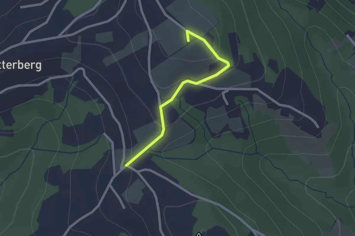
Easy · Summit
Pisdorfer Rundwanderweg Alternative 19b
1.7 km · ↑ 83 m · 35 min · 10 km away
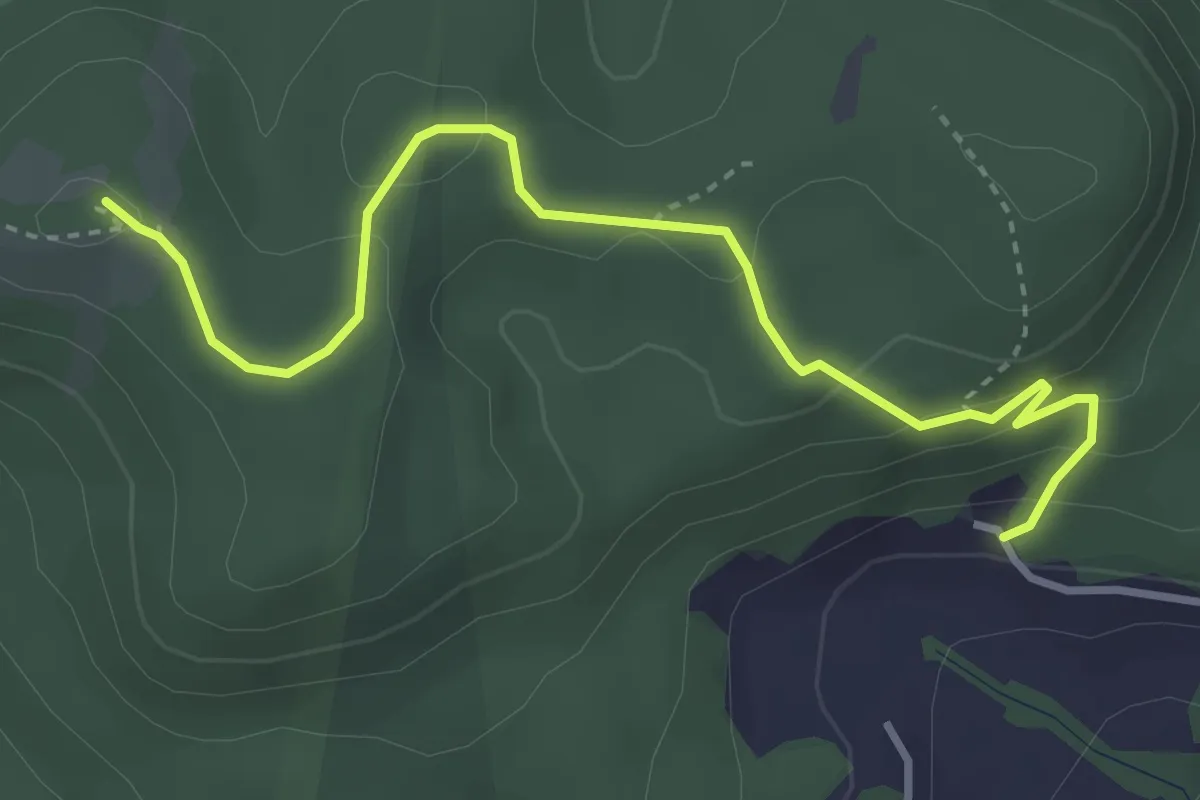
Easy · Summit
Wanderweg Bockmoar - Buchkogel - Lebring
3.9 km · ↑ 144 m · 1 h 14 min · 10 km away
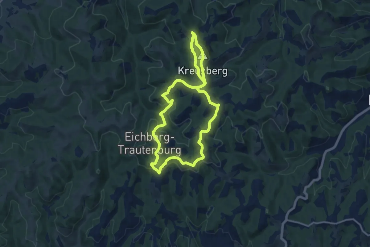
Medium · Summit
Kreuzbergwarte Rundwanderweg
8.3 km · ↑ 304 m · 2 h 44 min · 10 km away
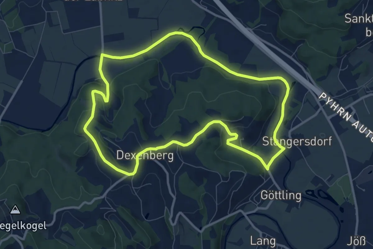
Medium · Trail
Hengist Kulturwanderweg Lang Lechenbergrunde
8.5 km · ↑ 116 m · 2 h 23 min · 10 km away
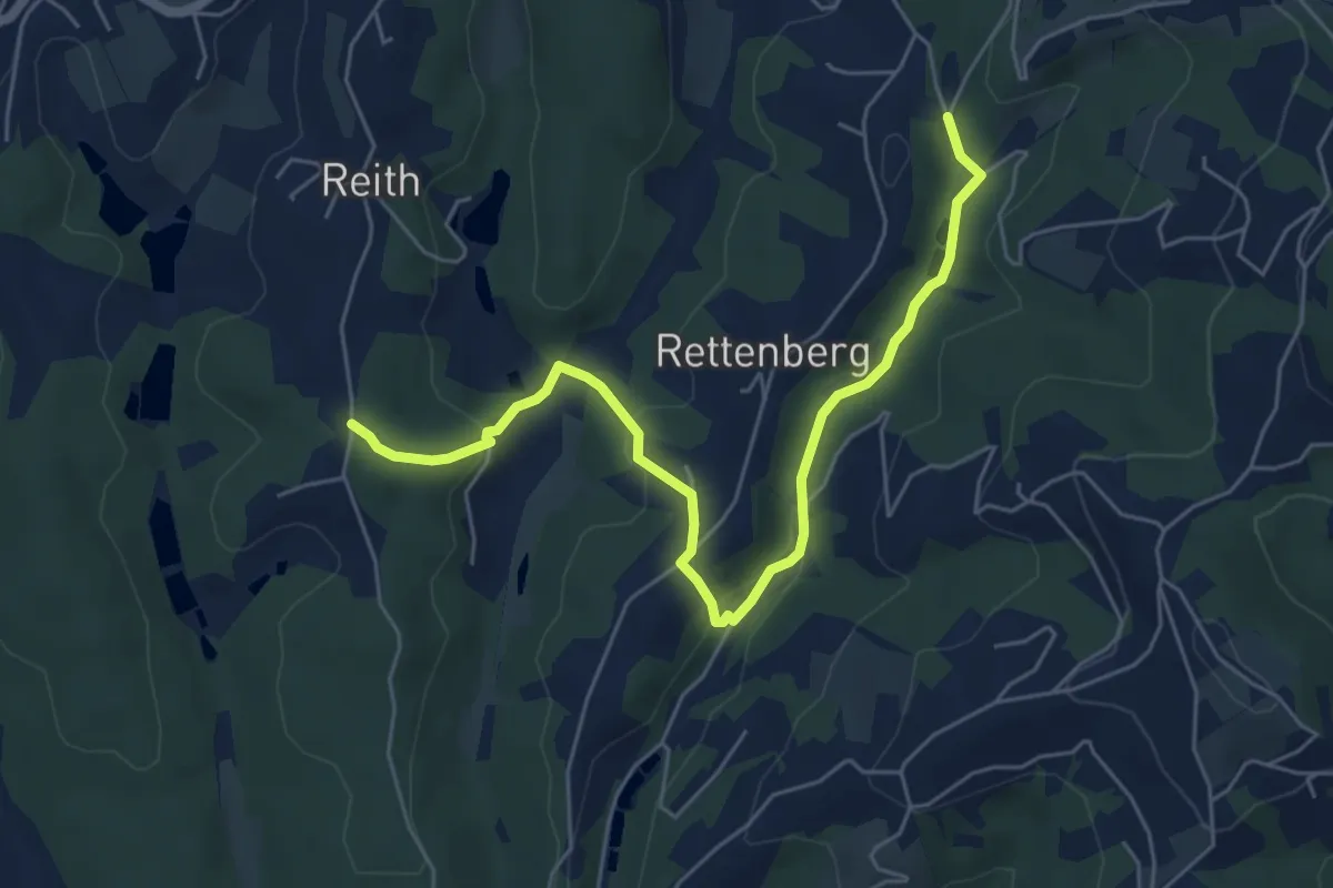
Easy · Trail
Wanderweg 21a
3.1 km · ↑ 98 m · 59 min · 10 km away
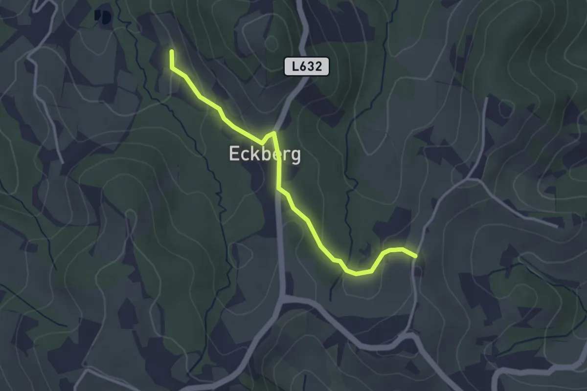
Easy · Trail
Eckberg - Steinbach - Ratsch - Variante
2.9 km · ↑ 118 m · 57 min · 10 km away
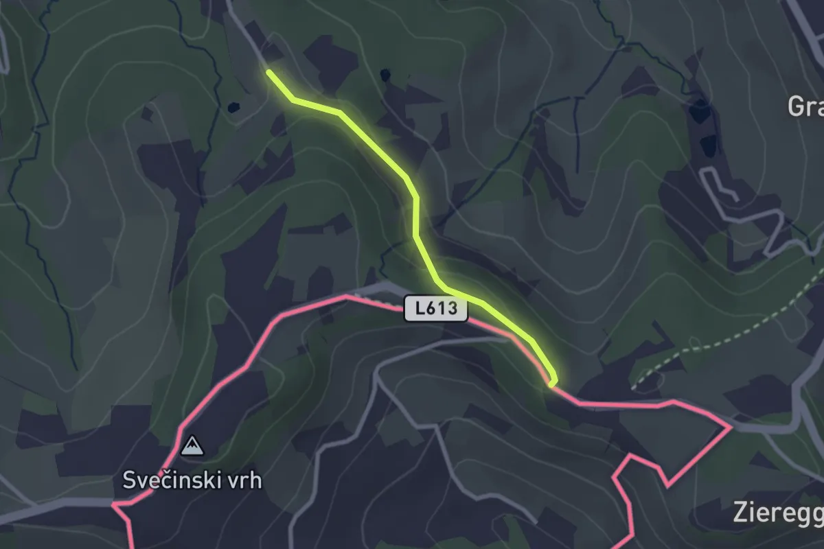
Easy · Trail
Berghausen 1a
2.1 km · ↑ 55 m · 37 min · 10 km away
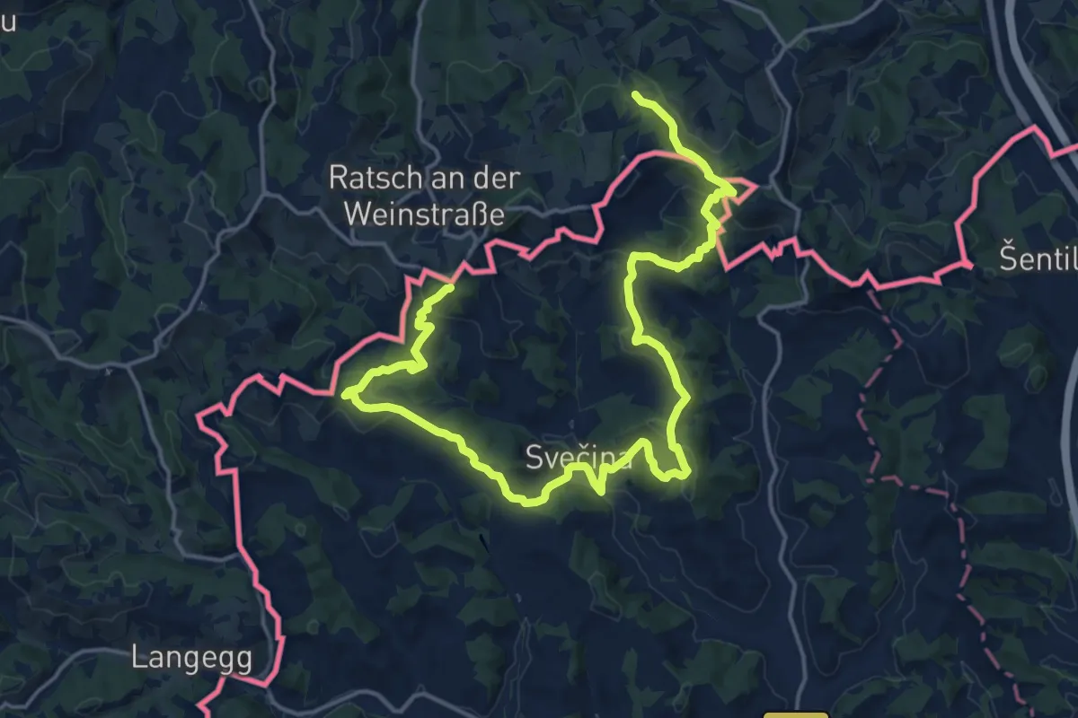
Demanding · Summit
NW Vino TOUR - Blaue Strecke - modra pot
23.1 km · ↑ 945 m · 7 h 30 min · 10 km away
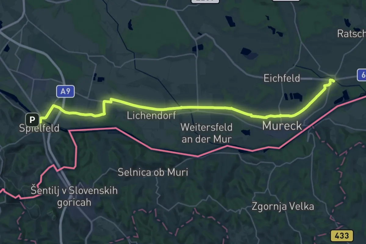
Demanding · Trail
Grenzland Bahnweg
30.5 km · ↑ 35 m · 7 h 17 min · 10 km away
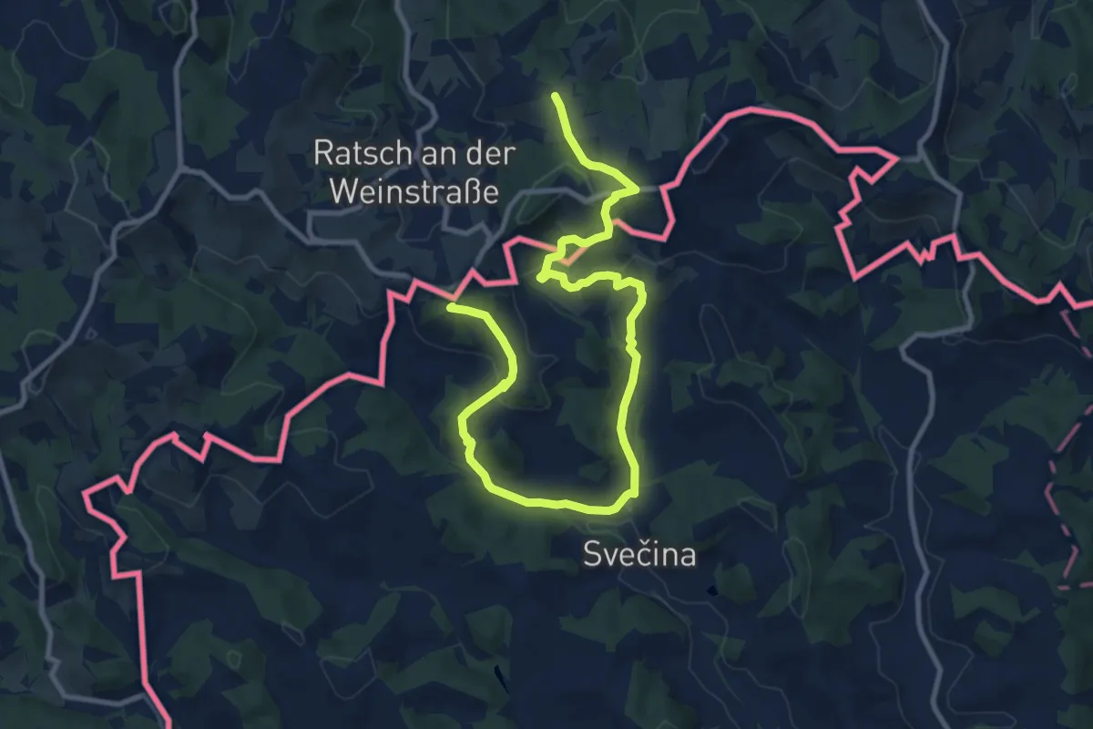
Medium · Summit
NW Vino TOUR - Rote Strecke - redeča pot
13.0 km · ↑ 434 m · 4 h · 10 km away
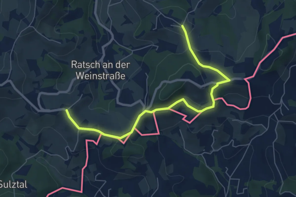
Easy · Summit
Weinwanderweg Ratsch-Ottenberg
3.1 km · ↑ 72 m · 56 min · 10 km away
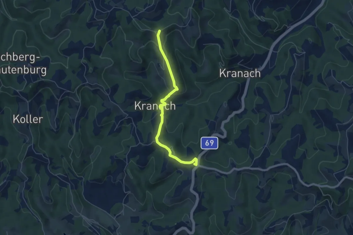
Easy · Summit
Kleeblattwanderung Nr. 4b
5.4 km · ↑ 312 m · 1 h 57 min · 10 km away
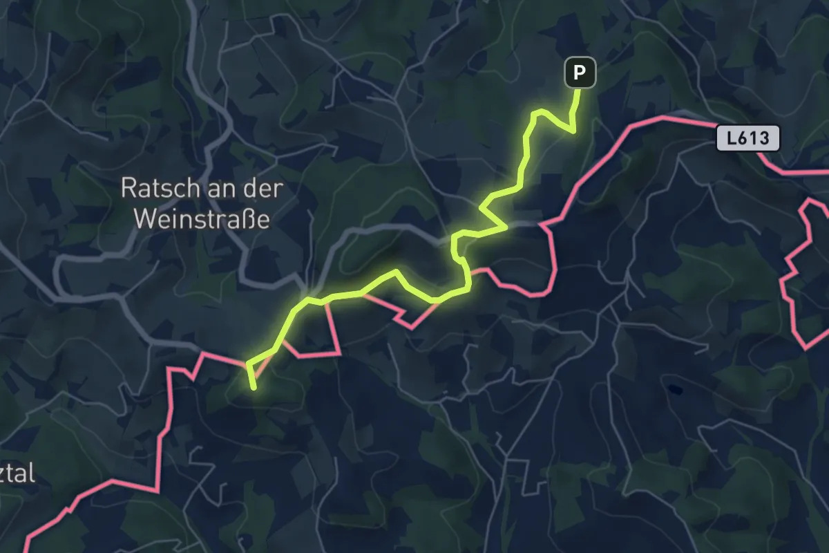
Easy · Summit
NW Vino TOUR - Gelbe Strecke - umena pot
5.9 km · ↑ 234 m · 1 h 54 min · 11 km away
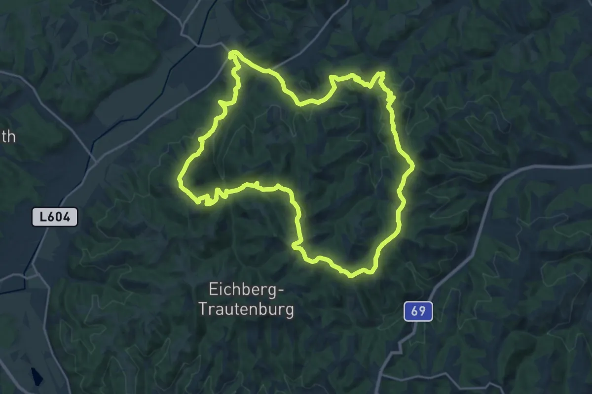
Demanding · Summit
Großkleiner Harmonieweg
18.7 km · ↑ 768 m · 6 h 20 min · 11 km away
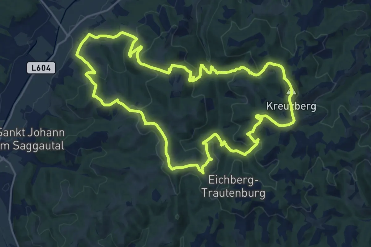
Medium · Summit
Blumenreichweg
14.3 km · ↑ 705 m · 5 h 6 min · 11 km away
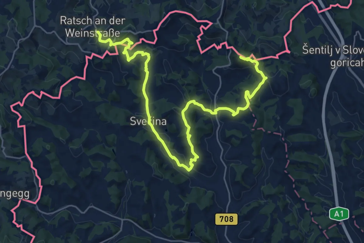
Demanding · Summit
NW Vino TOUR - Orange Strecke - ranžna pot
24.7 km · ↑ 920 m · 7 h 50 min · 11 km away
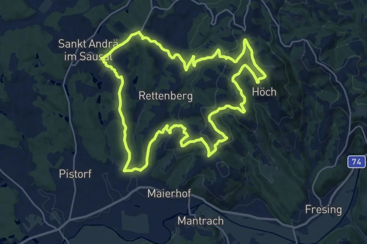
Medium · Summit
St. Andrä - Höcher Runde
17.2 km · ↑ 593 m · 5 h 35 min · 11 km away
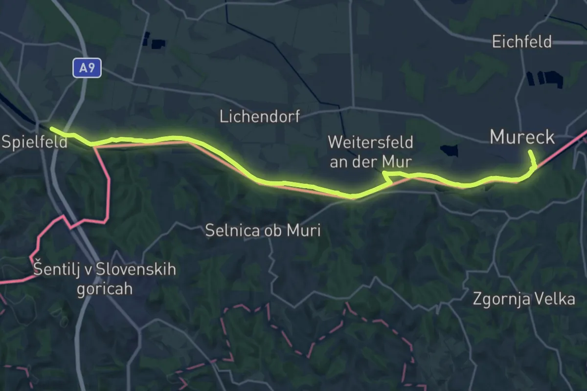
Demanding · Trail
Südalpenweg 03 - Etappe 2
23.5 km · ↑ 16 m · 5 h 35 min · 11 km away
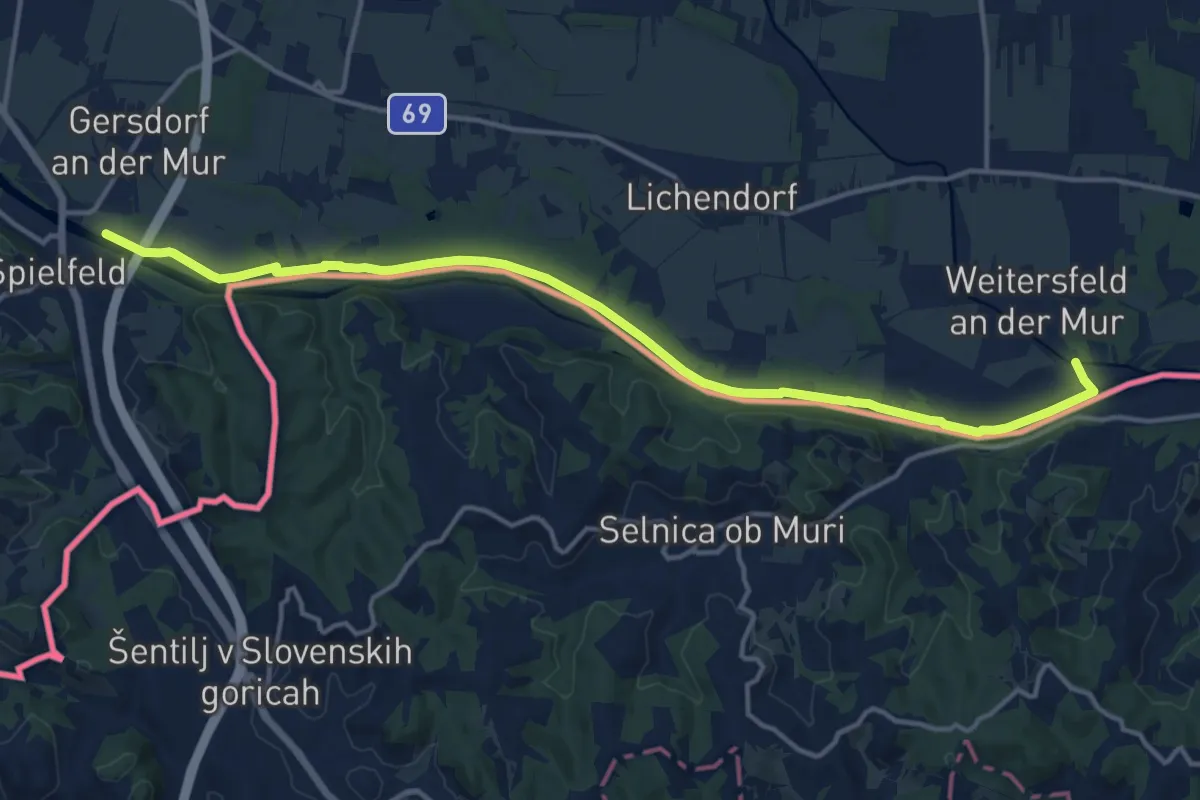
Medium · Trail
Mur-Grenzweg
16.0 km · ↑ 12 m · 3 h 48 min · 11 km away
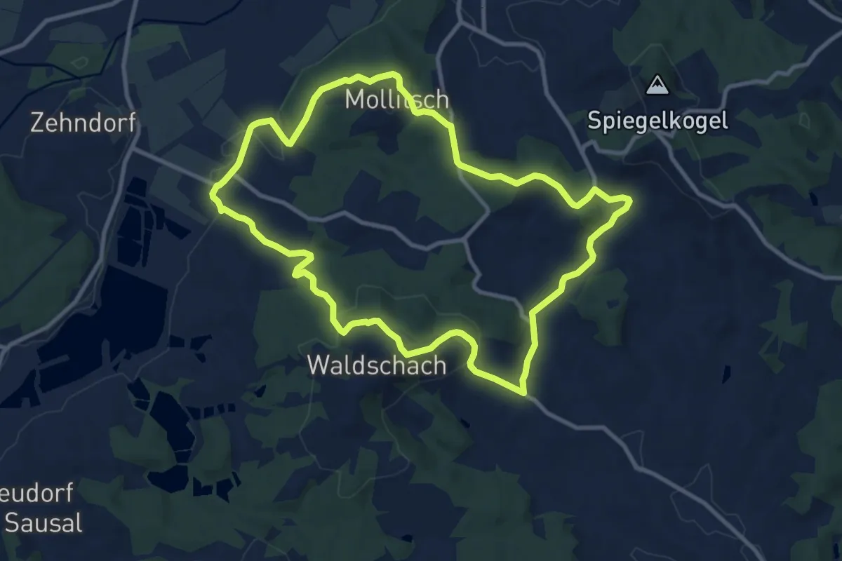
Medium · Trail
Lamperstätter Tour
9.7 km · ↑ 292 m · 3 h 3 min · 11 km away
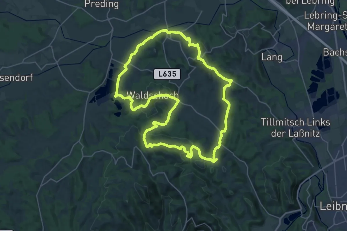
Demanding · Summit
Sankt Nikolaier Rundwanderweg
23.7 km · ↑ 690 m · 7 h 25 min · 11 km away
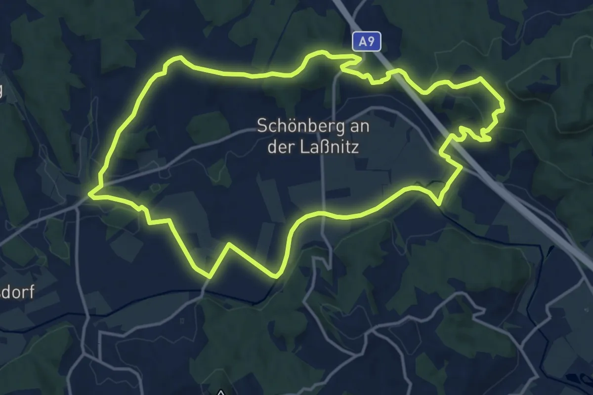
Medium · Trail
Hengist Kulturwanderweg Hengsberg Laßnitztal-Runde
13.3 km · ↑ 245 m · 3 h 52 min · 11 km away
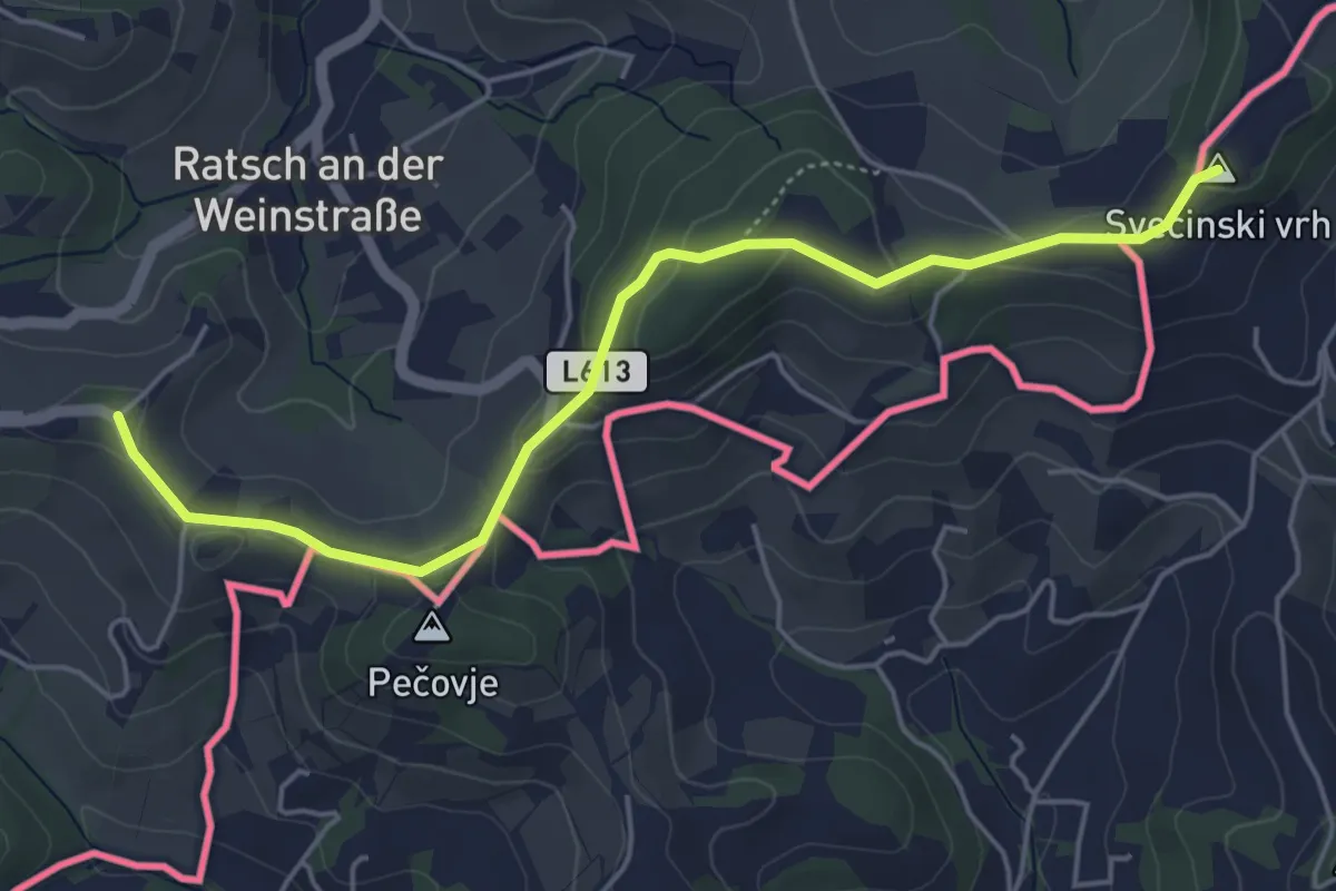
Easy · Summit
Welschlauf Südsteiermark
5.2 km · ↑ 164 m · 1 h 35 min · 11 km away
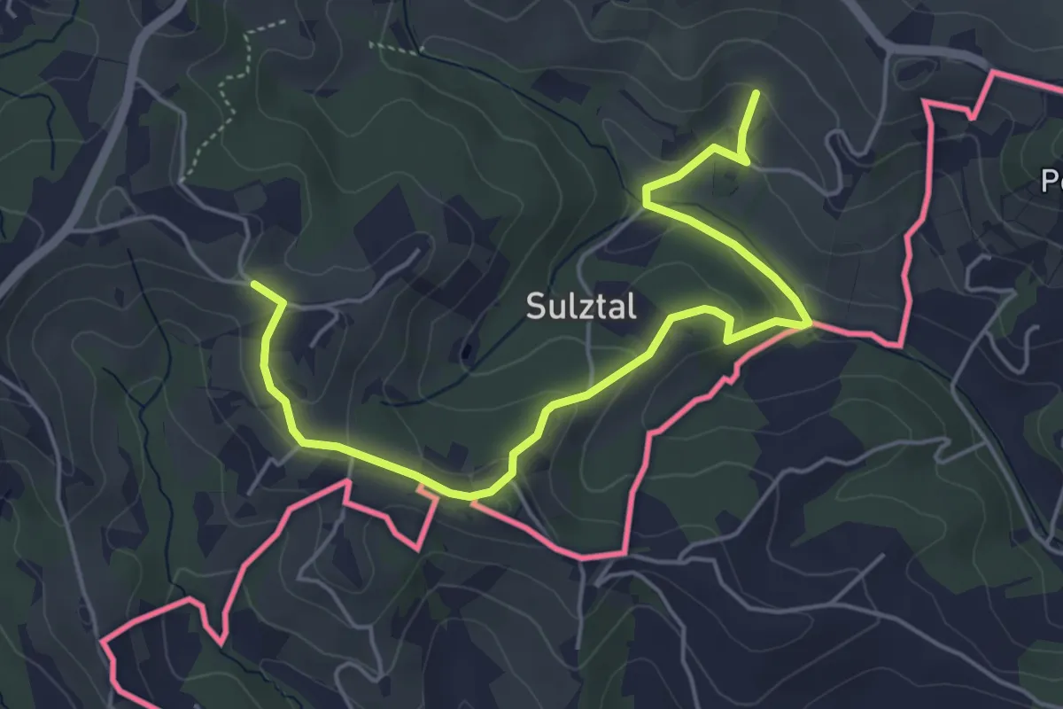
Easy · Trail
Sulztaler Rundweg
2.8 km · ↑ 147 m · 58 min · 11 km away
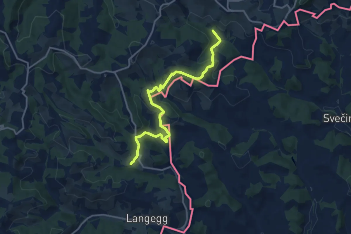
Medium · Trail
Vom Gletscher zum Wein (Südroute) Etappe 23
9.5 km · ↑ 492 m · 3 h 18 min · 11 km away
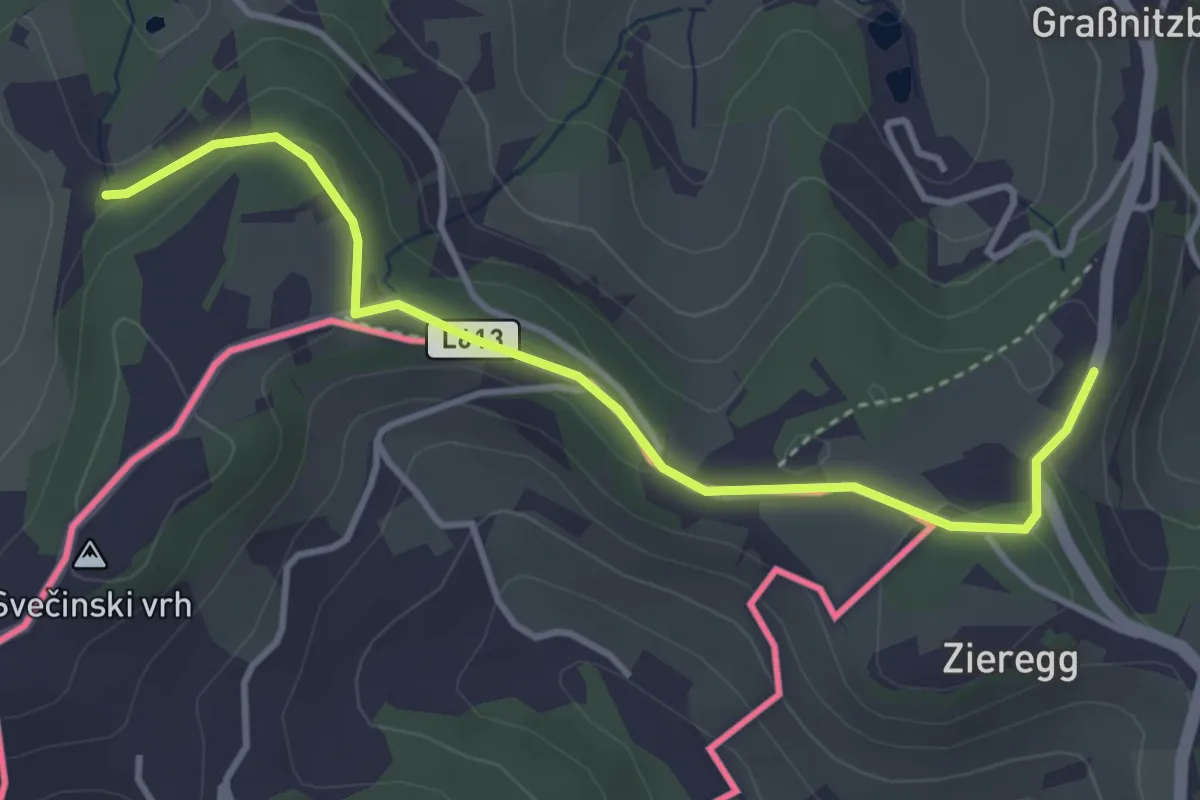
Easy · Trail
Berghausen 1
3.9 km · ↑ 67 m · 1 h 3 min · 11 km away
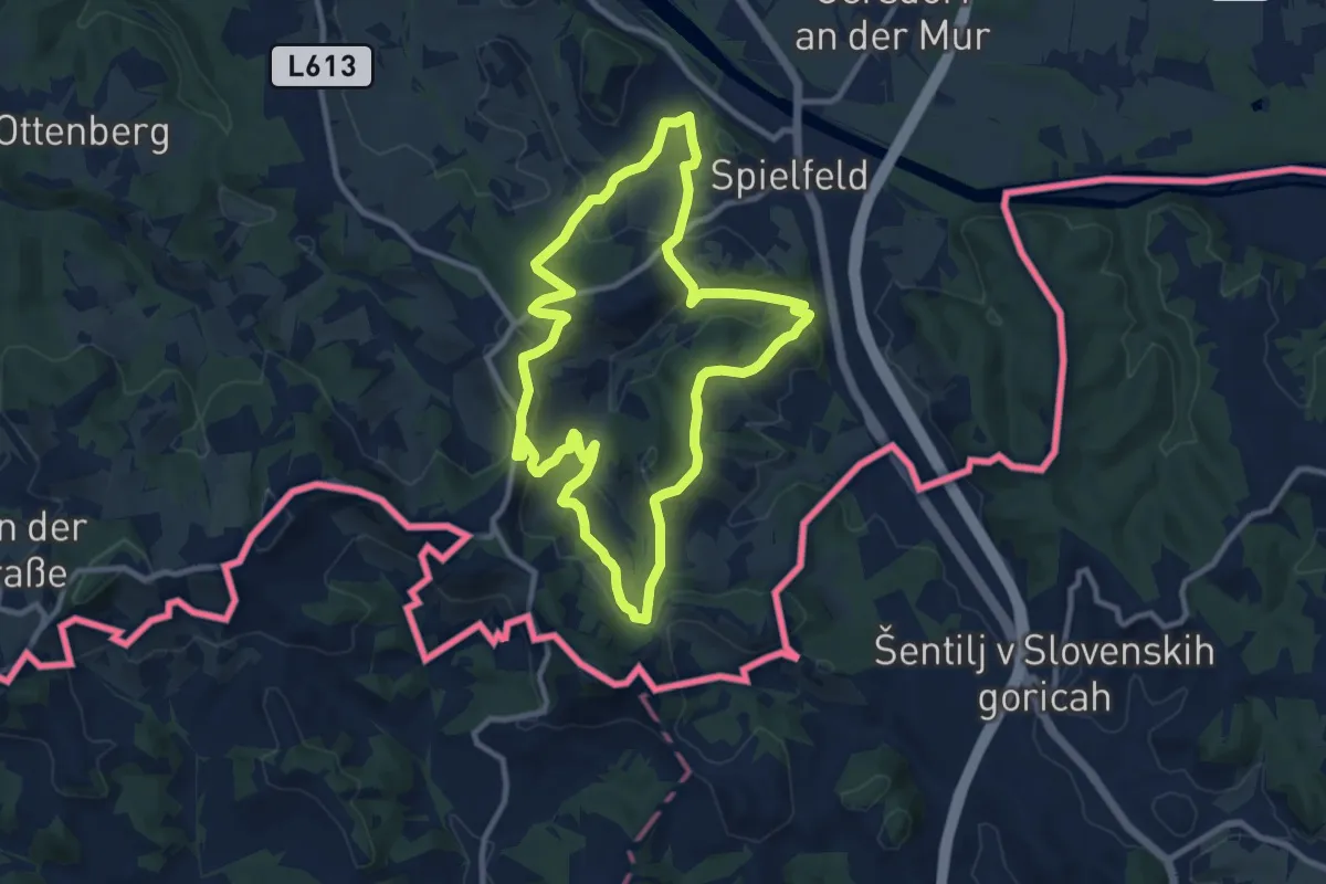
Medium · Trail
Rebenwanderweg Spielfeld
9.8 km · ↑ 359 m · 3 h 13 min · 11 km away
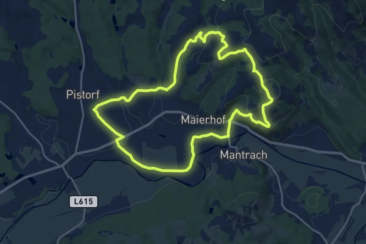
Medium · Summit
Pisdorfer Rundwanderweg
10.9 km · ↑ 283 m · 3 h 20 min · 11 km away
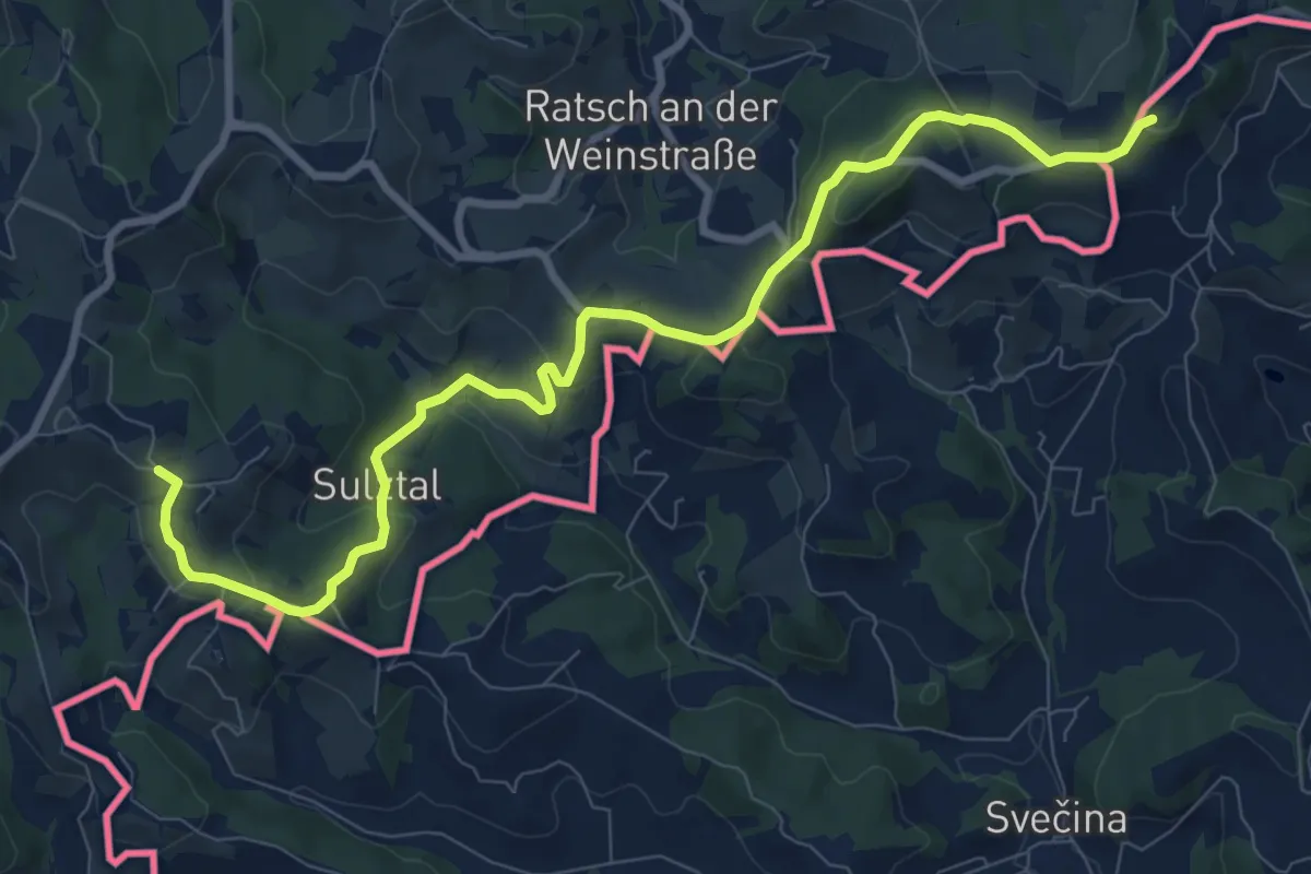
Medium · Summit
Südalpenweg 03A
10.4 km · ↑ 379 m · 3 h 17 min · 12 km away
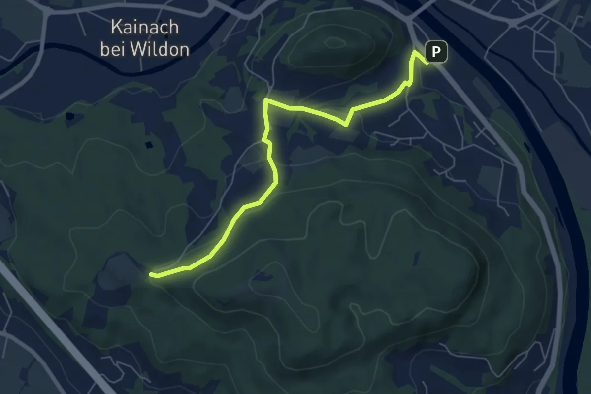
Medium · Trail
Wanderweg Wildon - Bockmoar
6.0 km · ↑ 195 m · 1 h 51 min · 12 km away
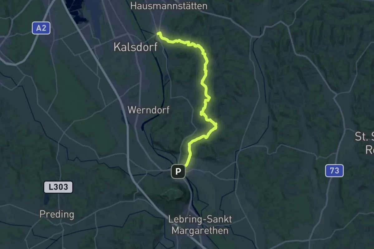
Medium · Trail
Josef Krainer Wanderweg
16.8 km · ↑ 439 m · 5 h 9 min · 12 km away
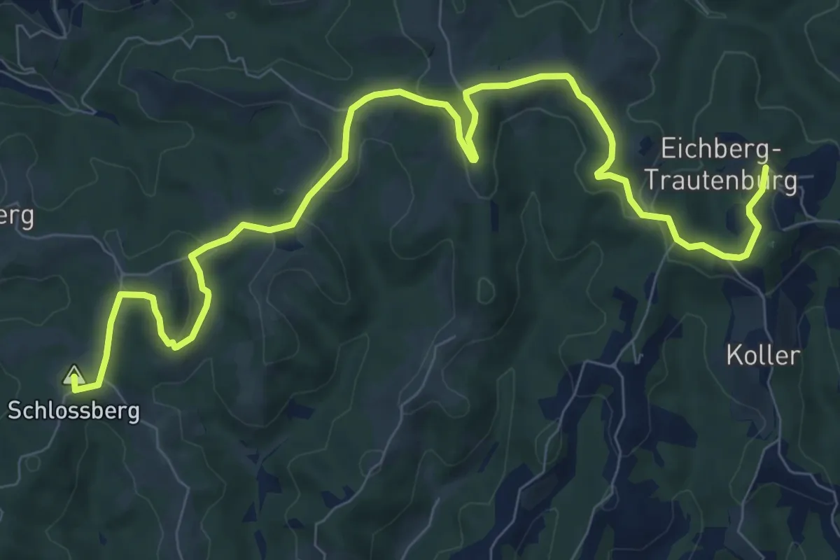
Medium · Summit
Arnfelser Wege - Pilgerweg
11.1 km · ↑ 321 m · 3 h 19 min · 12 km away
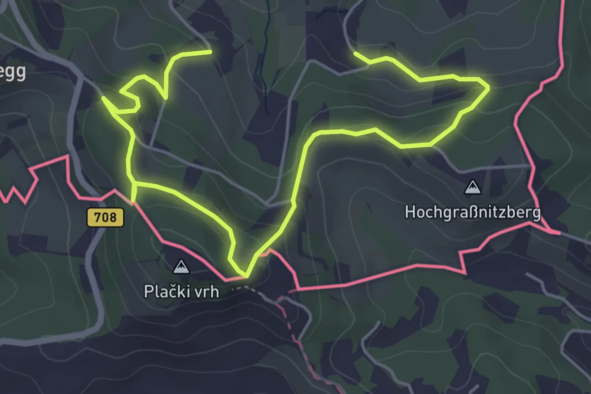
Easy · Trail
Natur-Kultur-Archäologie-Weg
6.5 km · ↑ 262 m · 2 h 6 min · 12 km away
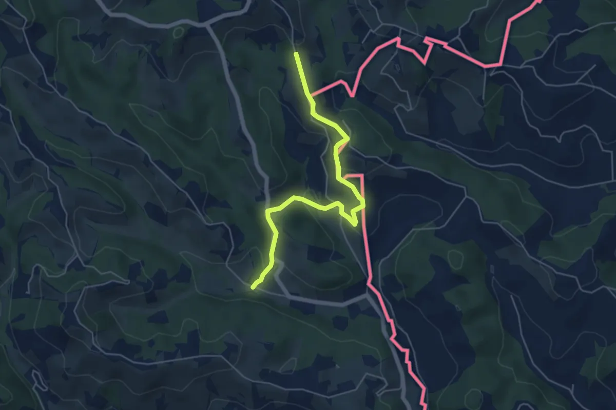
Easy · Trail
Kulinarische Weinberg-Wanderung
2.5 km · ↑ 56 m · 49 min · 12 km away
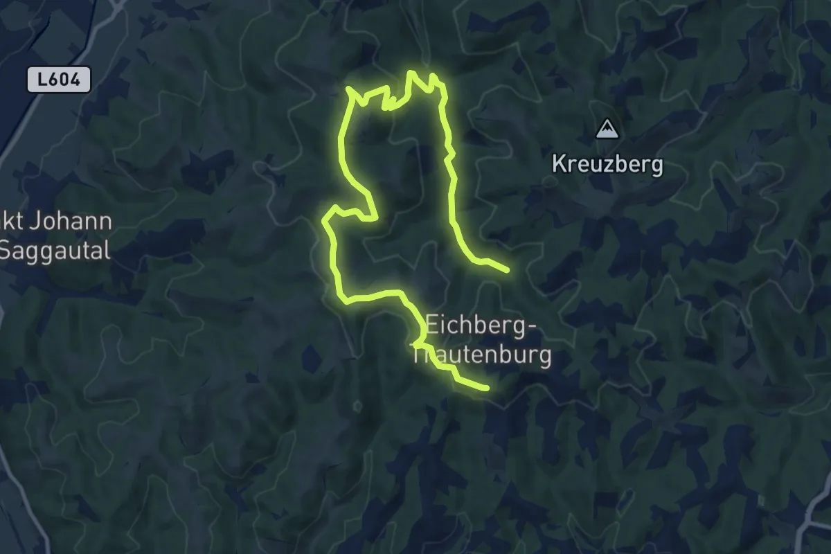
Medium · Trail
Kleeblattwanderweg Nr. 4a
14.5 km · ↑ 444 m · 4 h 23 min · 12 km away