Trails near Radenthein
88 hikes starting within 15 km, nearest first.
Nearest first, page 2 of 2
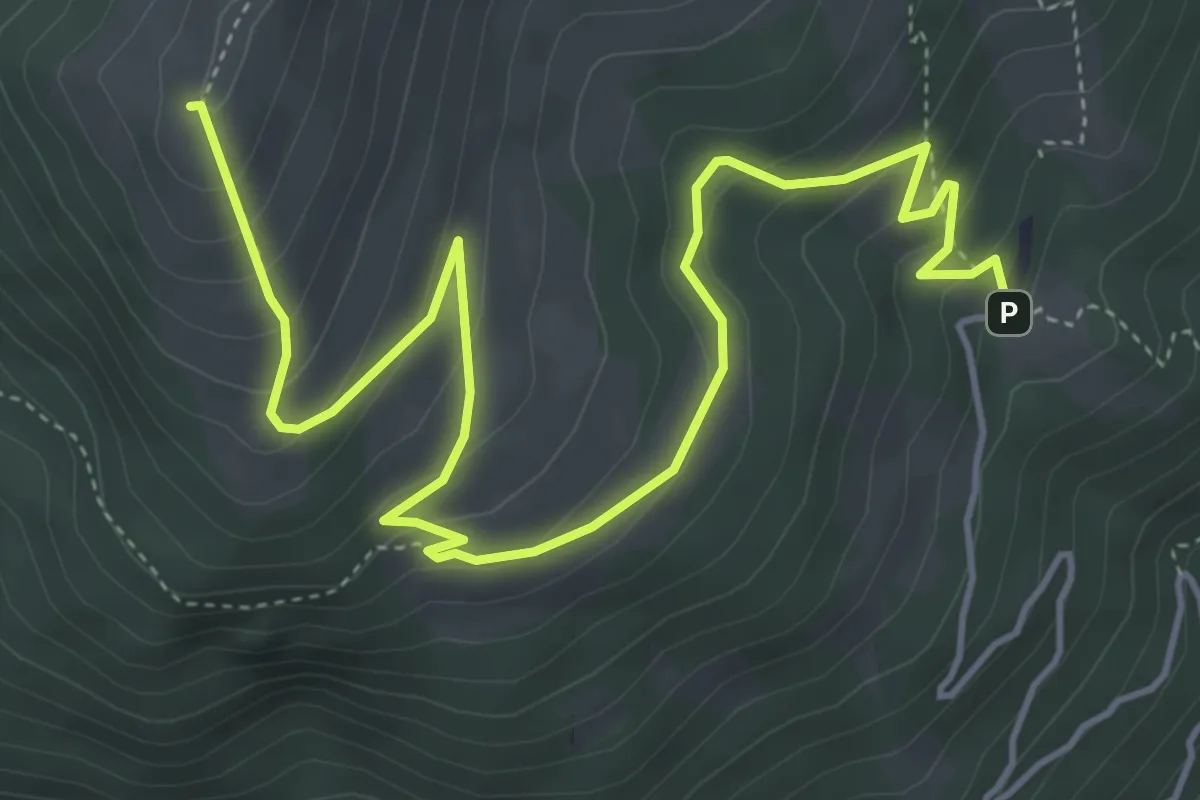
Medium · Summit
Nockhöhensteig-Rundweg
6.4 km · ↑ 383 m · 2 h 20 min · 10 km away
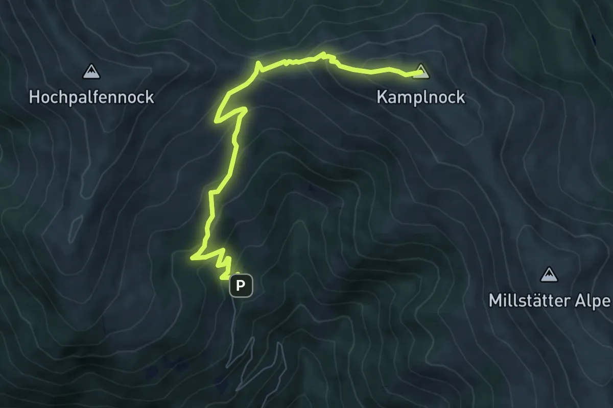
Medium · Summit
Kaisersteig
7.6 km · ↑ 480 m · 2 h 50 min · 10 km away
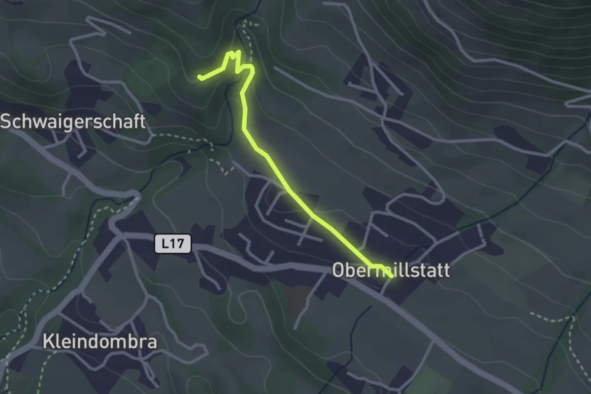
Medium · Trail
36 - Schwaigerschaft-Obermillstatt
2.5 km · ↑ 87 m · 46 min · 10 km away
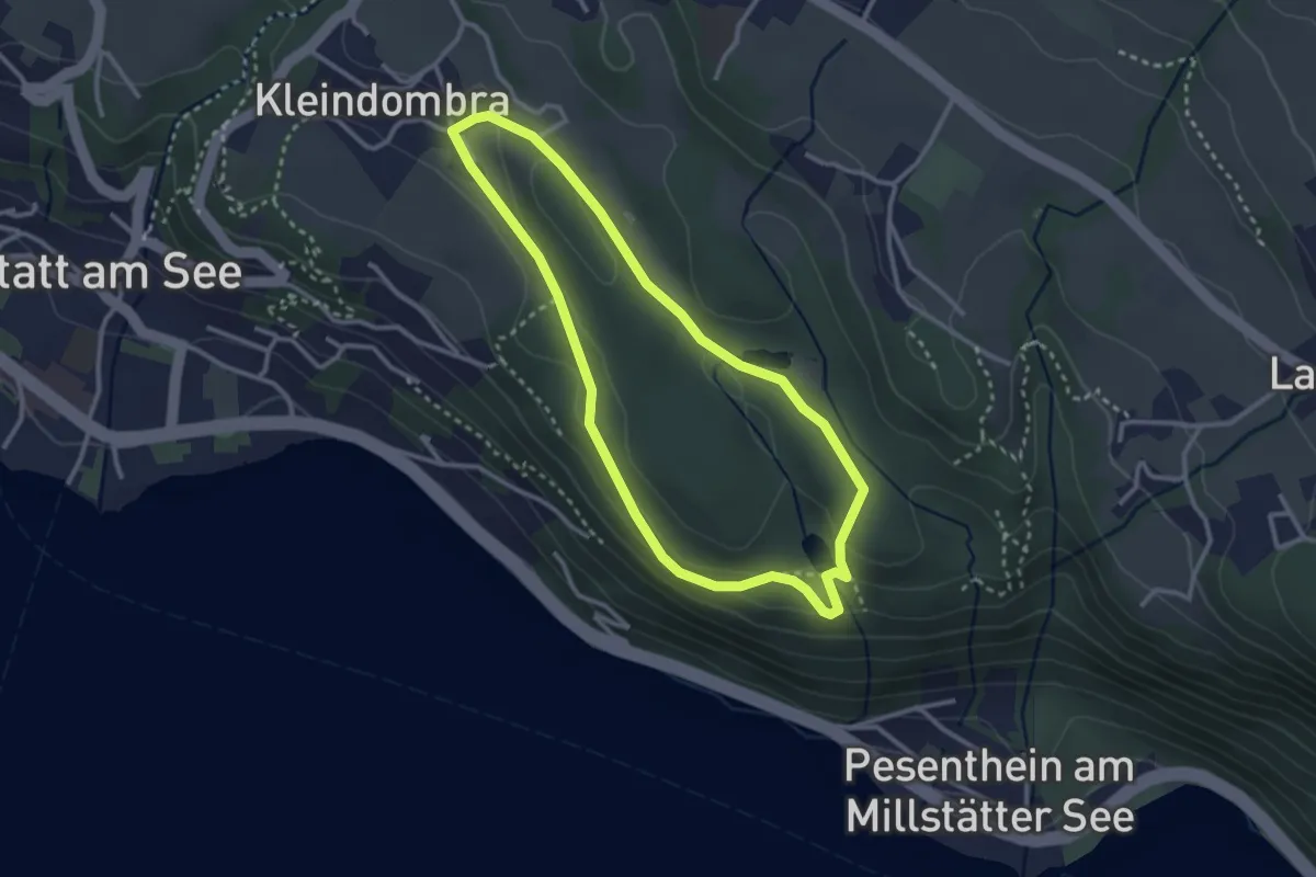
Easy · Trail
Kleindombra-Zwergensee-Klieberteich-Kleindombra
2.8 km · ↑ 59 m · 49 min · 10 km away
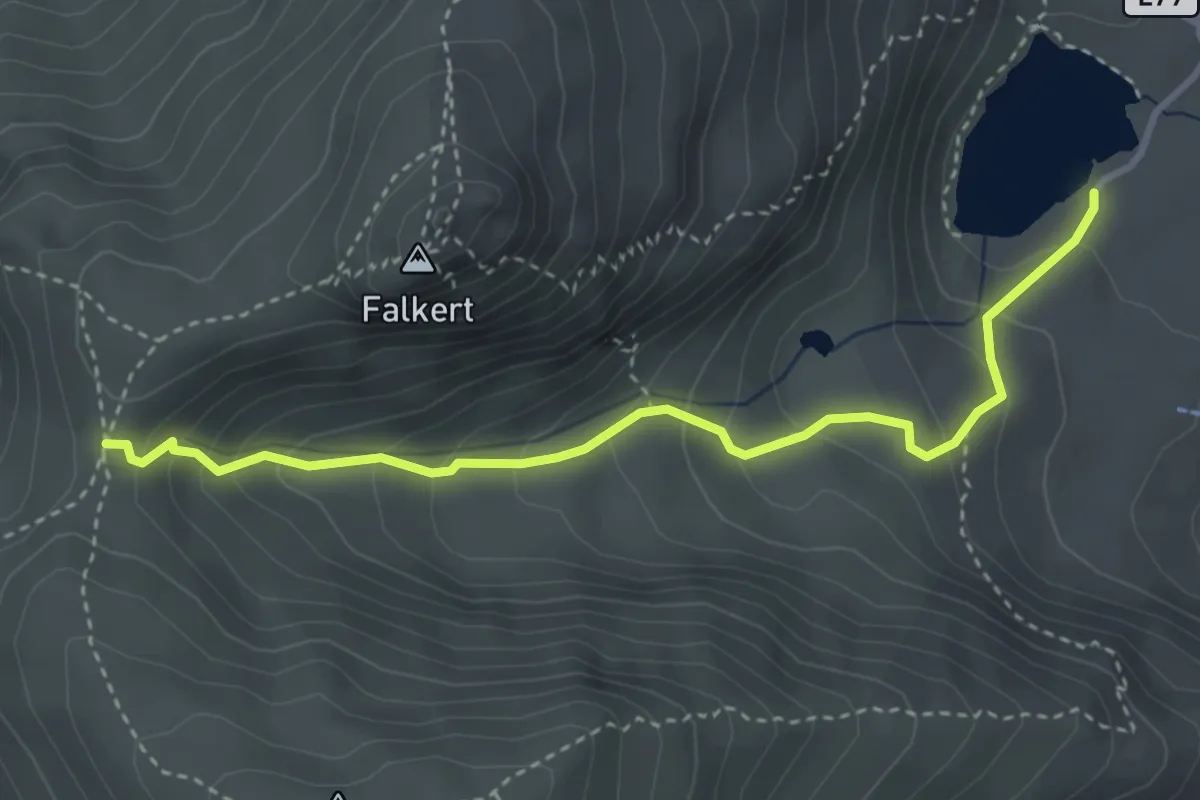
Medium · Cabin
Wanderweg 1591
3.7 km · ↑ 318 m · 1 h 33 min · 10 km away
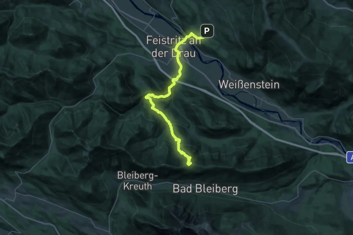
Demanding · Summit
Weg des Buches - Etappe 7A
29.3 km · ↑ 1390 m · 9 h 56 min · 10 km away
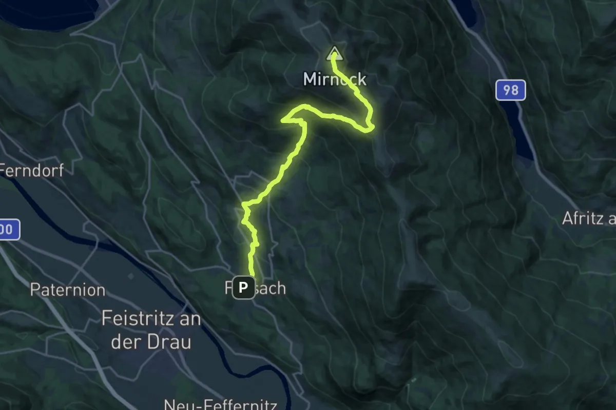
Demanding · Summit
Weg des Buches - Etappe 6
19.9 km · ↑ 1457 m · 7 h 51 min · 10 km away
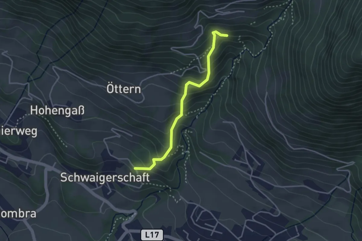
Medium · Trail
36a Schwaigerschaft-Alexanderhütte (alter Bergweg)
2.9 km · ↑ 259 m · 1 h 15 min · 10 km away
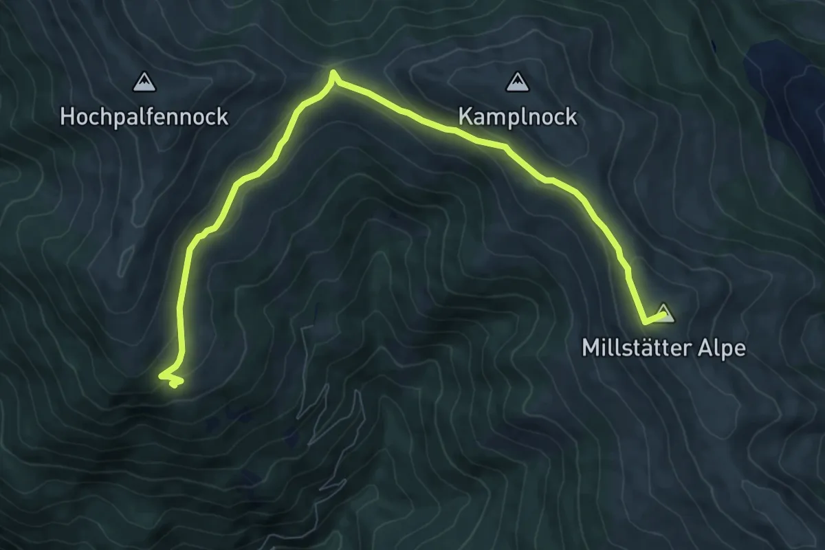
Medium · Summit
Weg der Liebe. Sentiero dell' Amore.
9.8 km · ↑ 306 m · 2 h 59 min · 10 km away
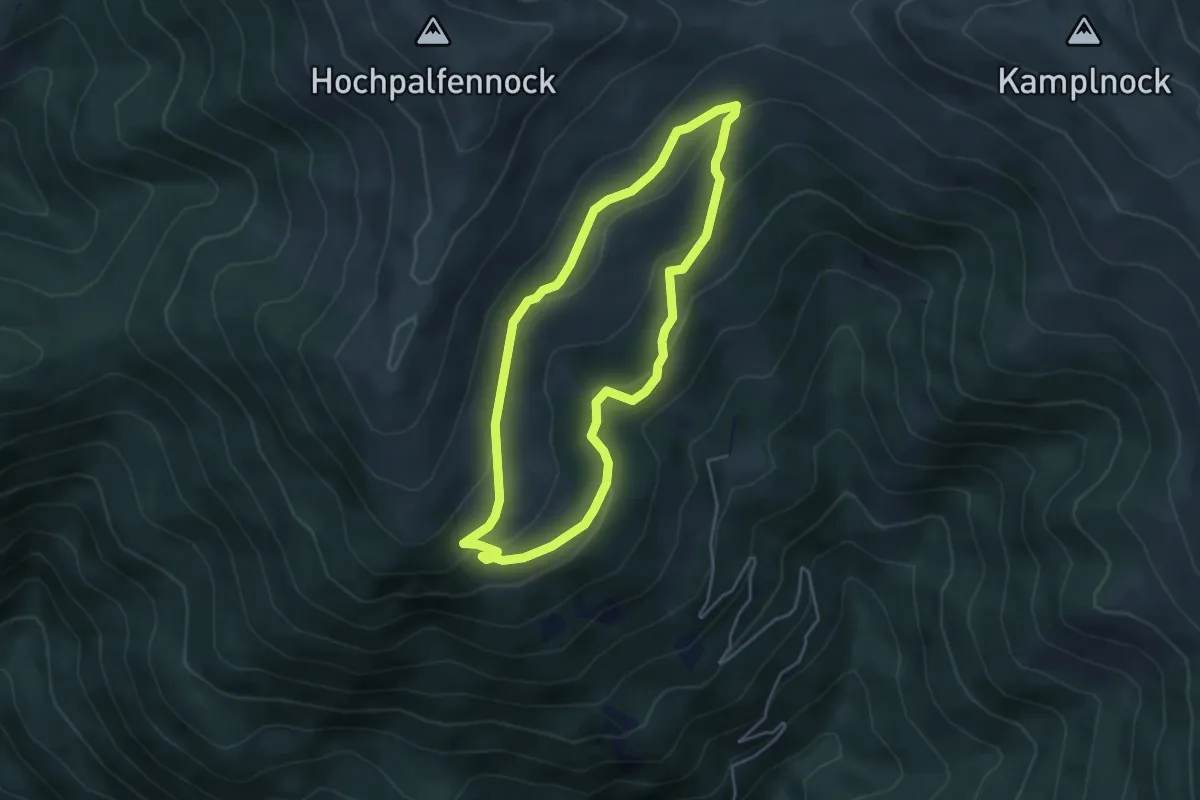
Easy · Cabin
Sonnwiesen-Rundweg
4.1 km · ↑ 151 m · 1 h 21 min · 10 km away
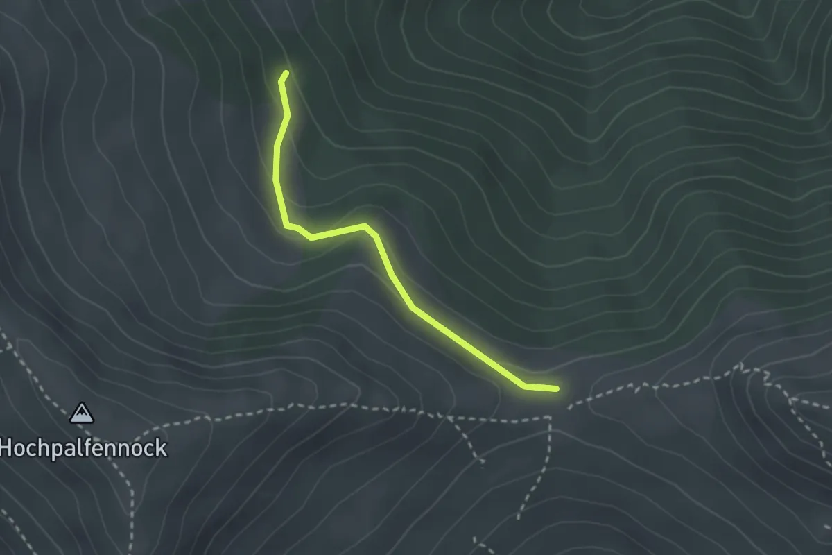
Easy · Trail
197
2.3 km · ↑ 107 m · 47 min · 10 km away
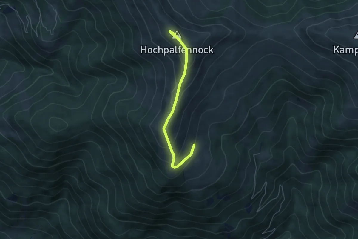
Medium · Summit
1931
4.4 km · ↑ 265 m · 1 h 37 min · 10 km away
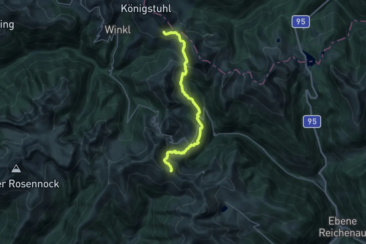
Demanding · Trail
Wanderweg 123
17.9 km · ↑ 917 m · 6 h 13 min · 11 km away
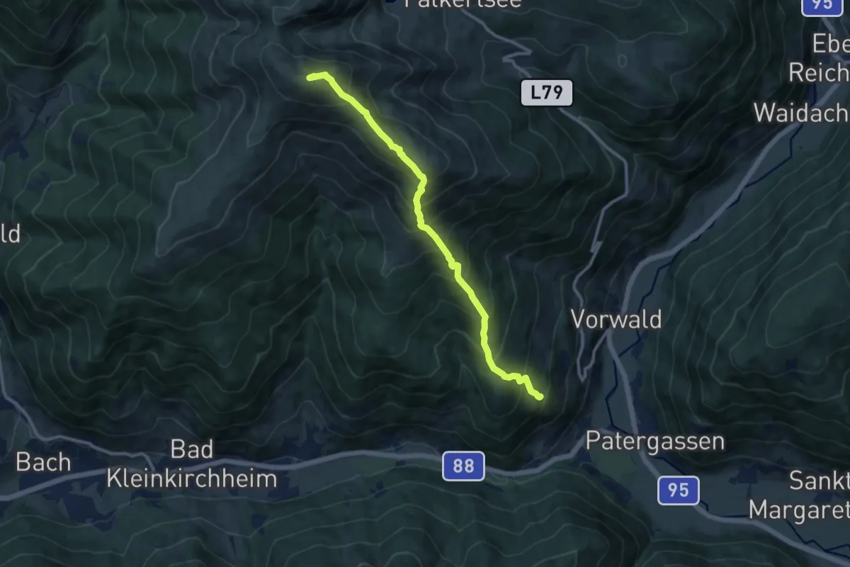
Demanding · Summit
Wanderweg 160
10.3 km · ↑ 1046 m · 4 h 41 min · 11 km away
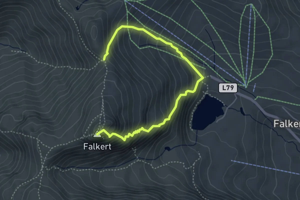
Demanding · Summit
Weg des Buches - Etappe 2
4.9 km · ↑ 664 m · 2 h 36 min · 11 km away
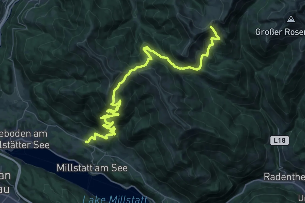
Demanding · Summit
Wanderweg 194
41.8 km · ↑ 2009 m · 14 h 14 min · 11 km away
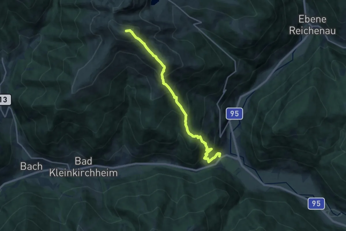
Demanding · Summit
Weg des Buches - Etappe 3
13.3 km · ↑ 1311 m · 5 h 58 min · 11 km away
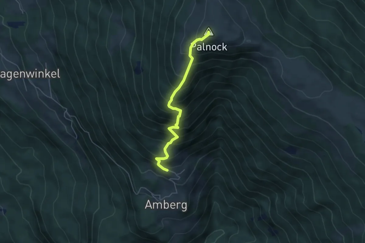
Medium · Summit
Wanderweg 178-1 Amberg - Palnock
4.4 km · ↑ 601 m · 2 h 20 min · 11 km away
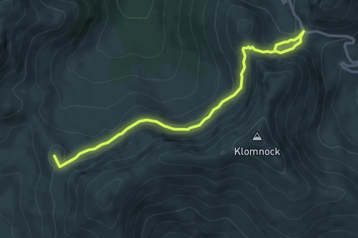
Medium · Summit
15 - Hoher Steig
6.9 km · ↑ 383 m · 2 h 27 min · 11 km away
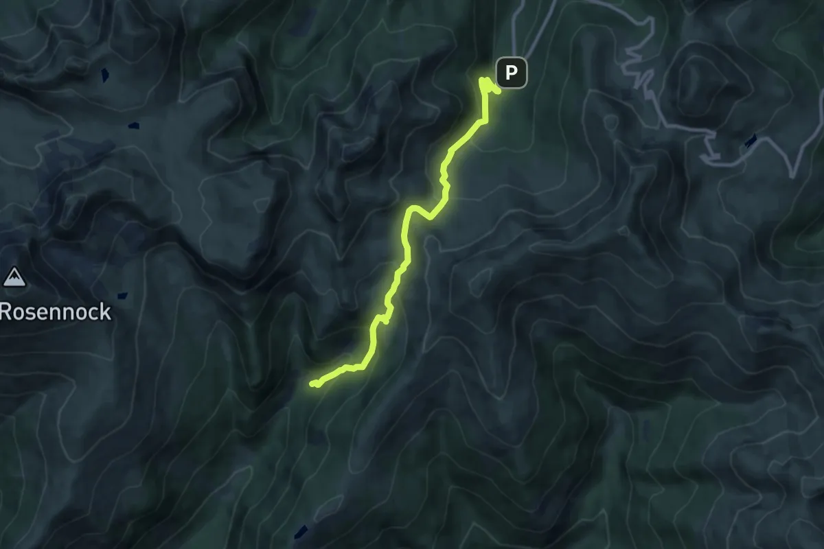
Medium · Cabin
Wanderweg 122
9.5 km · ↑ 587 m · 3 h 30 min · 12 km away
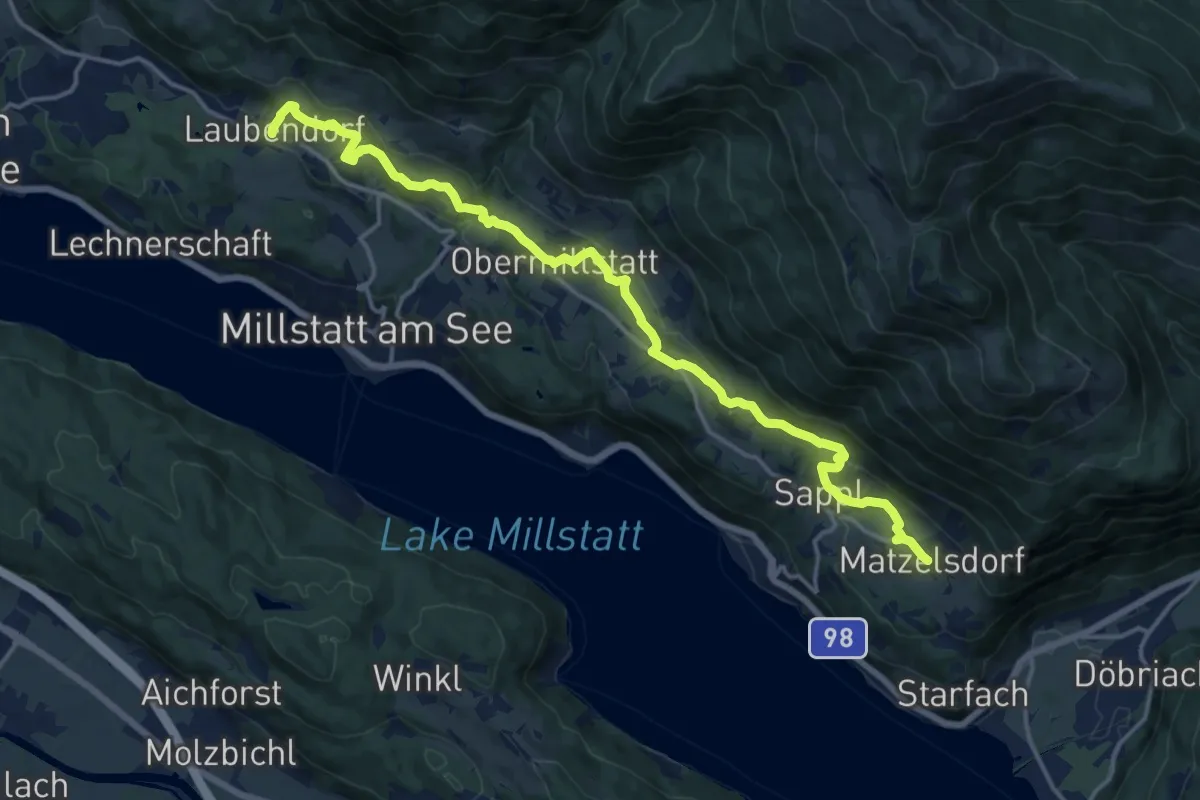
Medium · Trail
61 - Laubendorf-Tschierweg-Schwaigerschaft-Obermillstatt - Lammersdorf
17.6 km · ↑ 584 m · 5 h 26 min · 12 km away
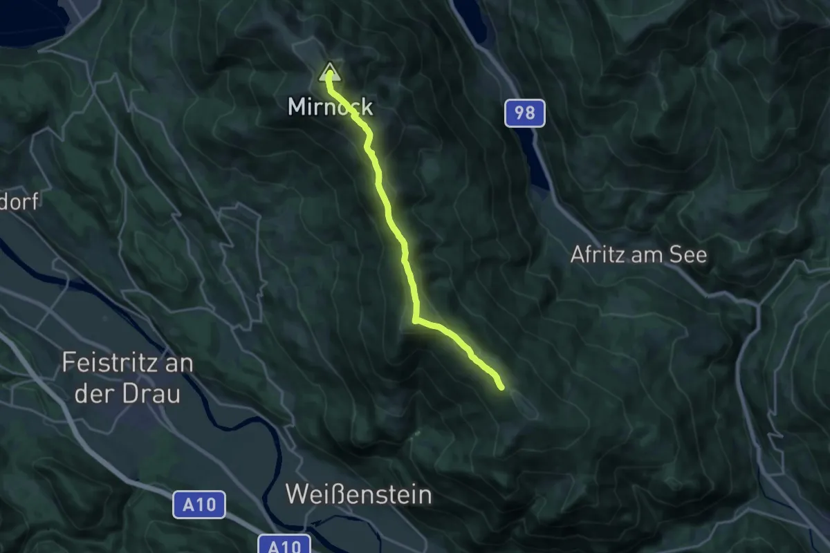
Demanding · Summit
Wanderweg 180 Mirnock - Schwarzsee
16.0 km · ↑ 820 m · 5 h 33 min · 12 km away
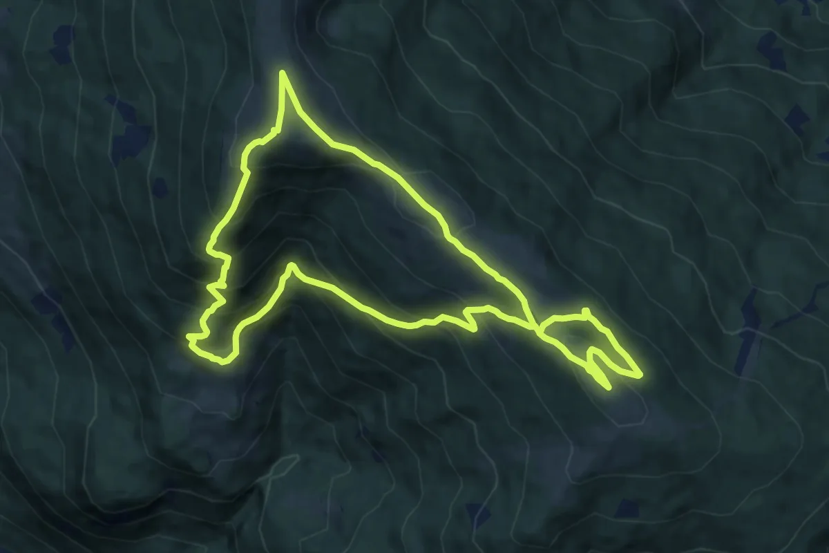
Medium · Summit
Palnock-Almenwanderung-Runde
10.4 km · ↑ 762 m · 4 h 15 min · 12 km away
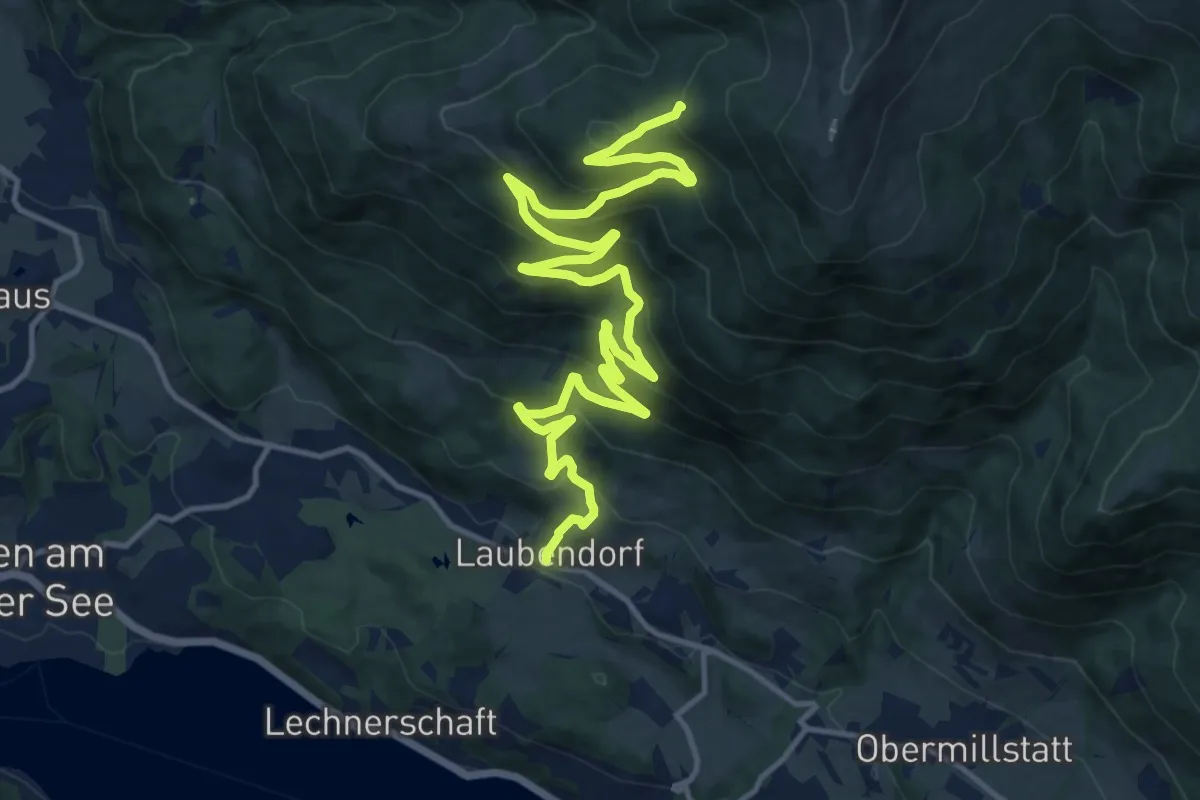
Demanding · Trail
1941
18.4 km · ↑ 910 m · 6 h 20 min · 12 km away
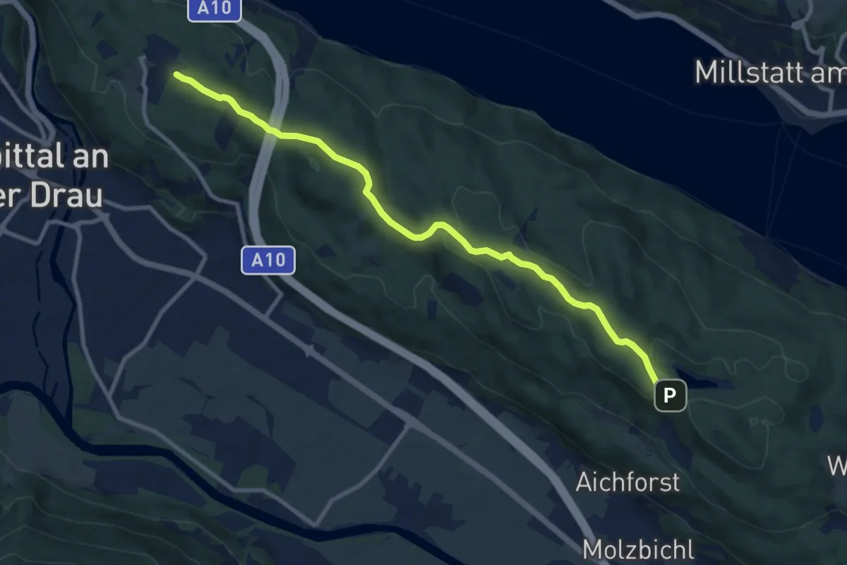
Medium · Trail
23: Samkt Wolfgang - Egelsee
9.7 km · ↑ 178 m · 2 h 40 min · 12 km away
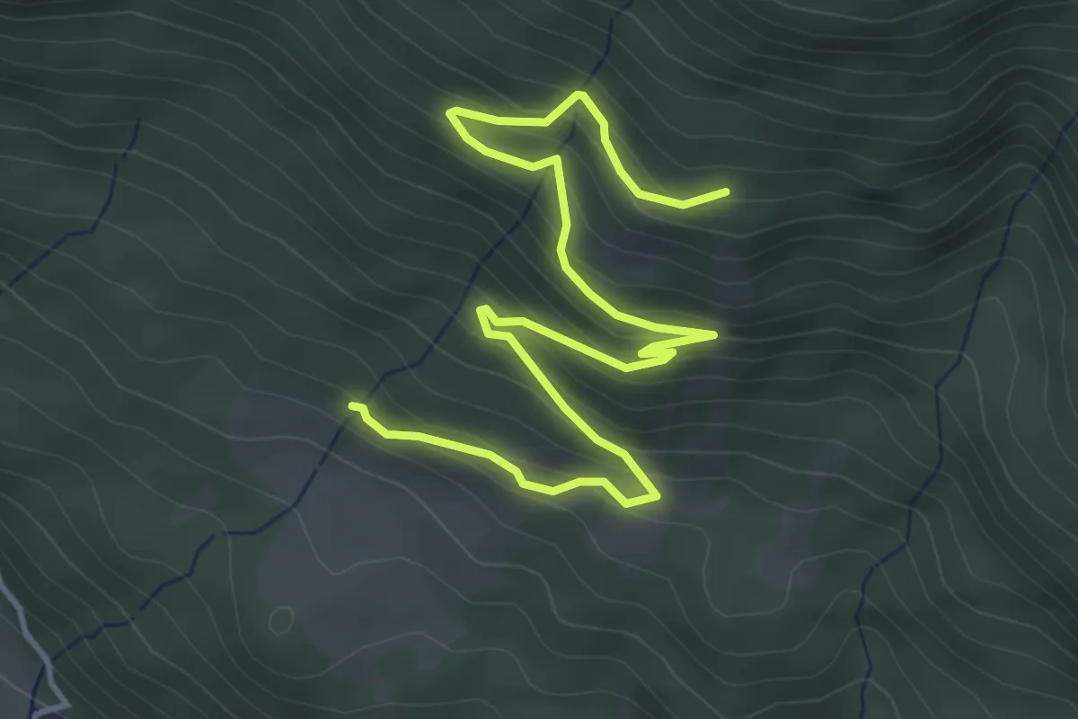
Easy · Trail
1942
5.5 km · ↑ 305 m · 1 h 57 min · 12 km away
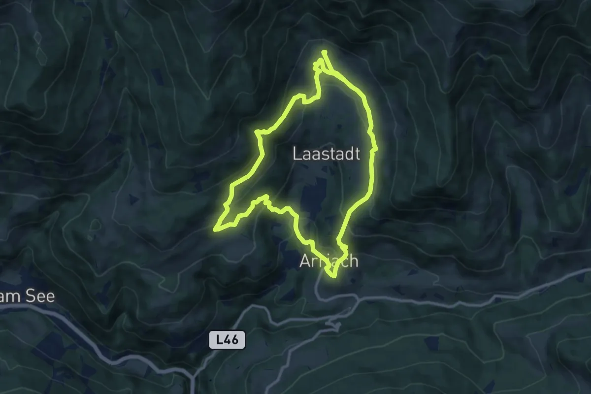
Demanding · Trail
Arriacher Hofwanderweg
19.3 km · ↑ 840 m · 6 h 23 min · 12 km away
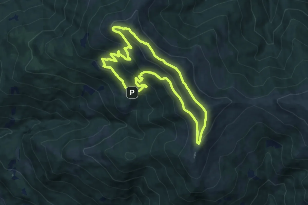
Medium · Summit
Höhenrundwanderweg
9.5 km · ↑ 478 m · 3 h 25 min · 12 km away
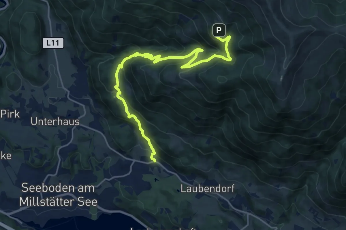
Demanding · Trail
17
16.8 km · ↑ 955 m · 6 h 2 min · 12 km away
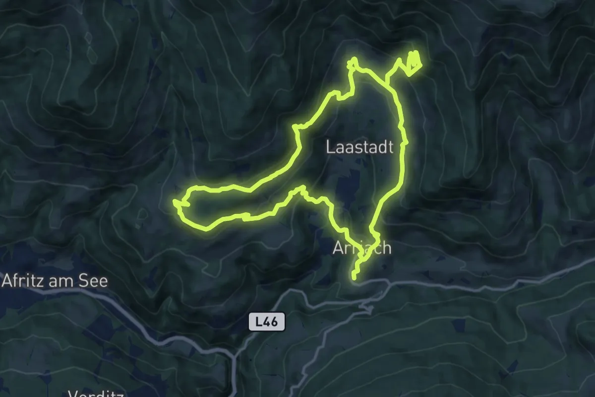
Medium · Trail
Arriacher Hofwanderweg-Variante
15.3 km · ↑ 719 m · 5 h 26 min · 13 km away
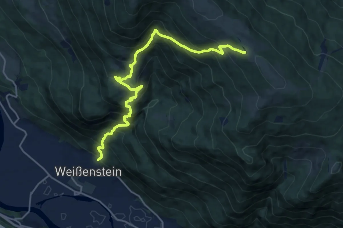
Demanding · Trail
Wanderweg 178 Weißenstein - Amberg - Schwarzsee
12.7 km · ↑ 1197 m · 5 h 35 min · 13 km away
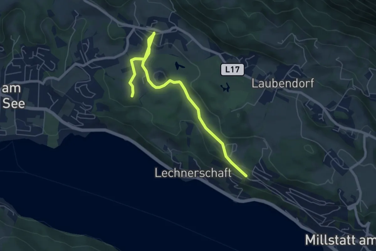
Easy · Trail
18
6.2 km · ↑ 137 m · 1 h 45 min · 13 km away
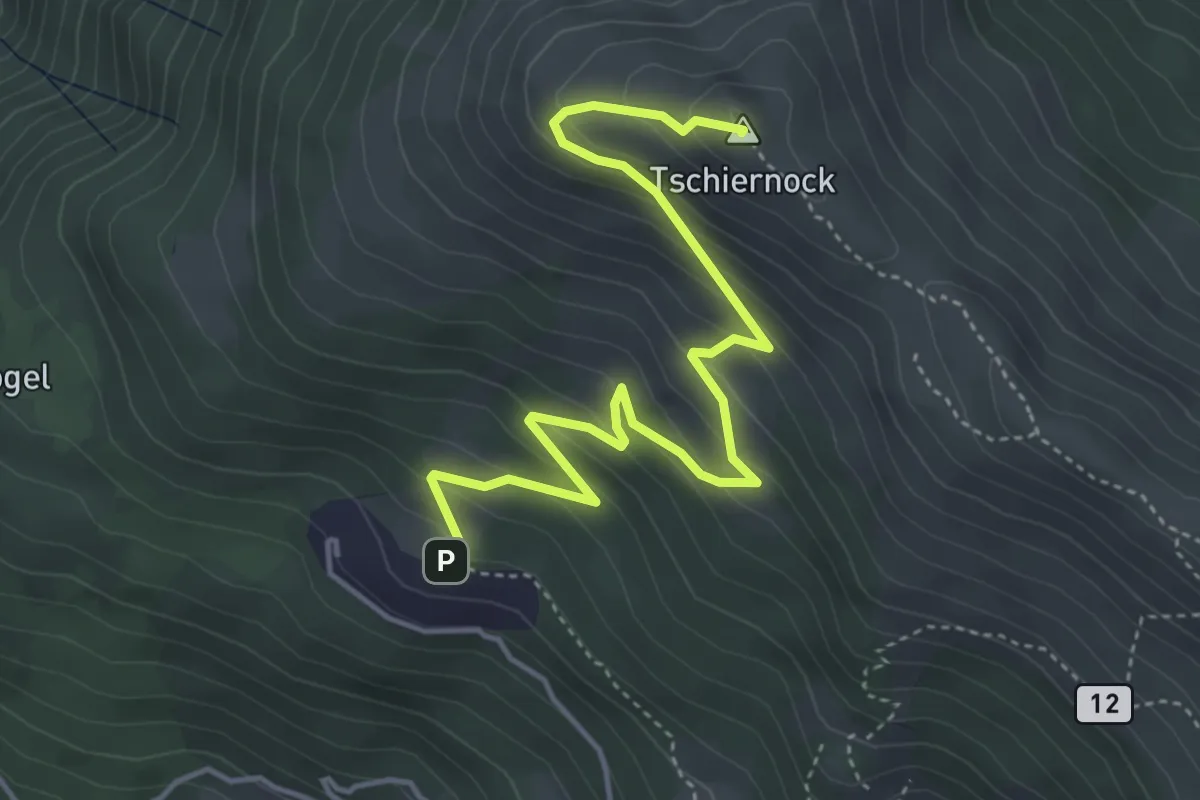
Medium · Summit
Gamsbrünndlweg
5.1 km · ↑ 368 m · 2 h · 13 km away
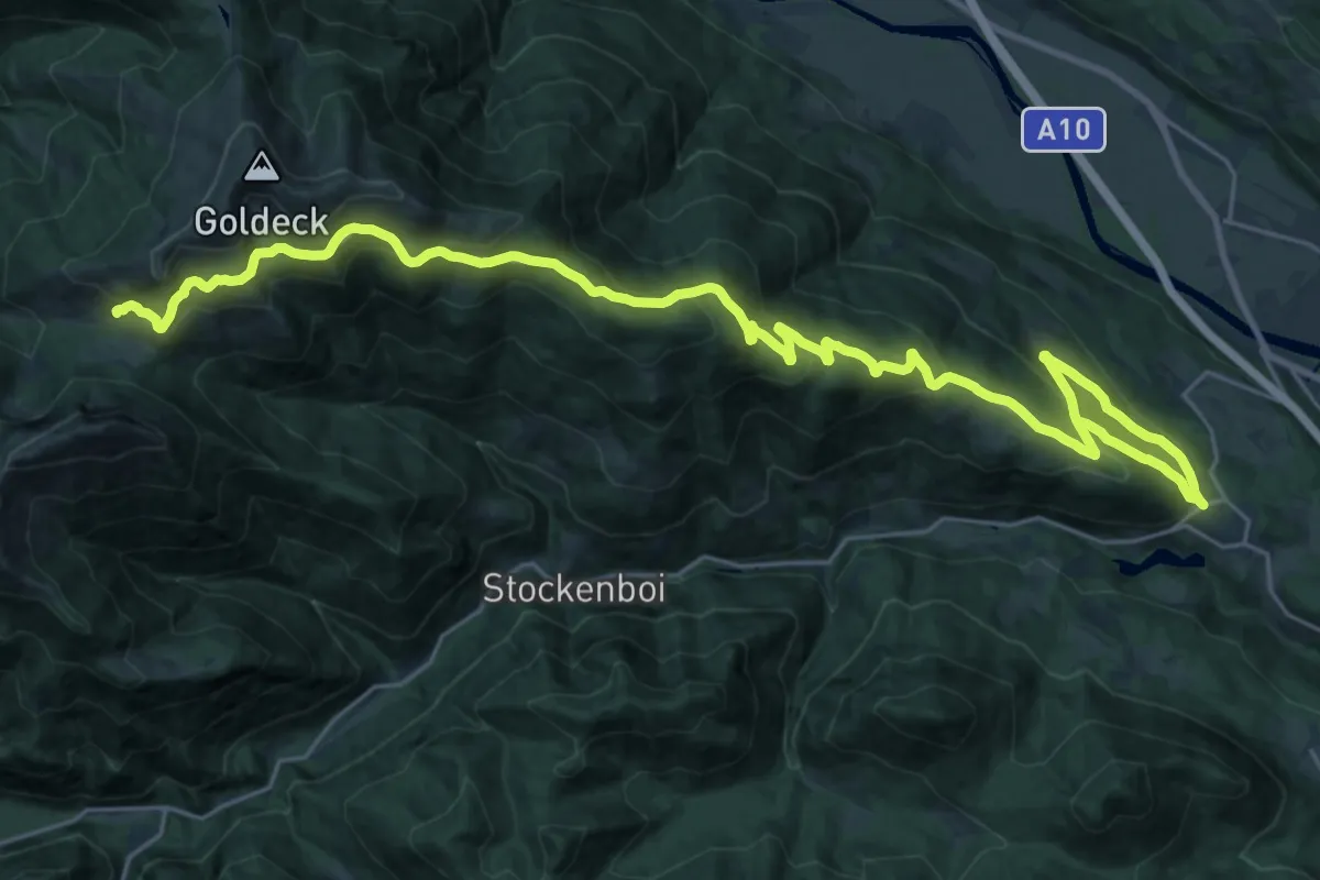
Demanding · Cabin
Wanderweg 286
17.9 km · ↑ 1163 m · 6 h 37 min · 13 km away
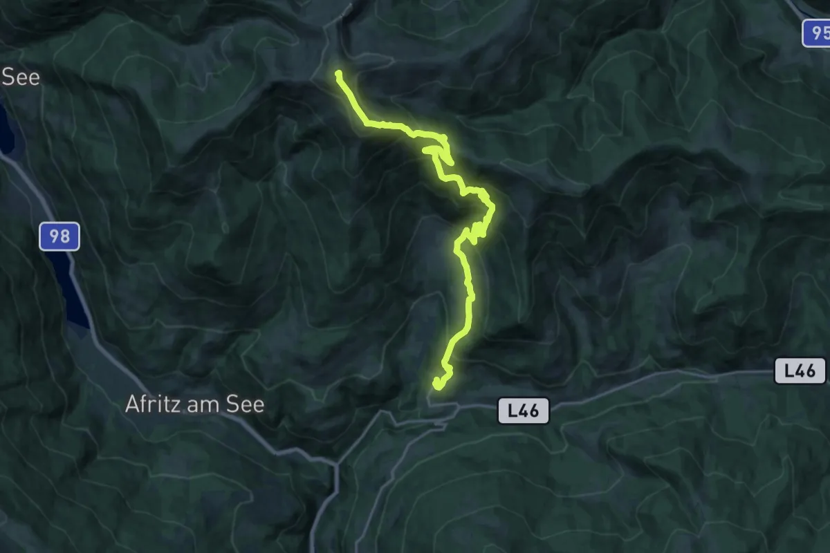
Demanding · Summit
Weg des Buches - Etappe 4
21.3 km · ↑ 1329 m · 7 h 55 min · 13 km away
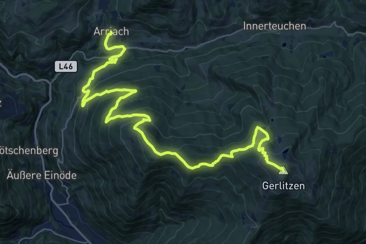
Demanding · Summit
Alpe Adria Trail E18
31.8 km · ↑ 1464 m · 10 h 41 min · 13 km away
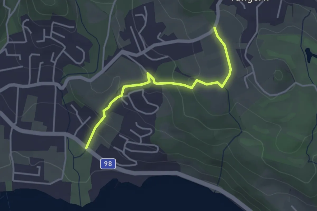
Easy · Trail
8
3.1 km · ↑ 125 m · 1 h · 13 km away
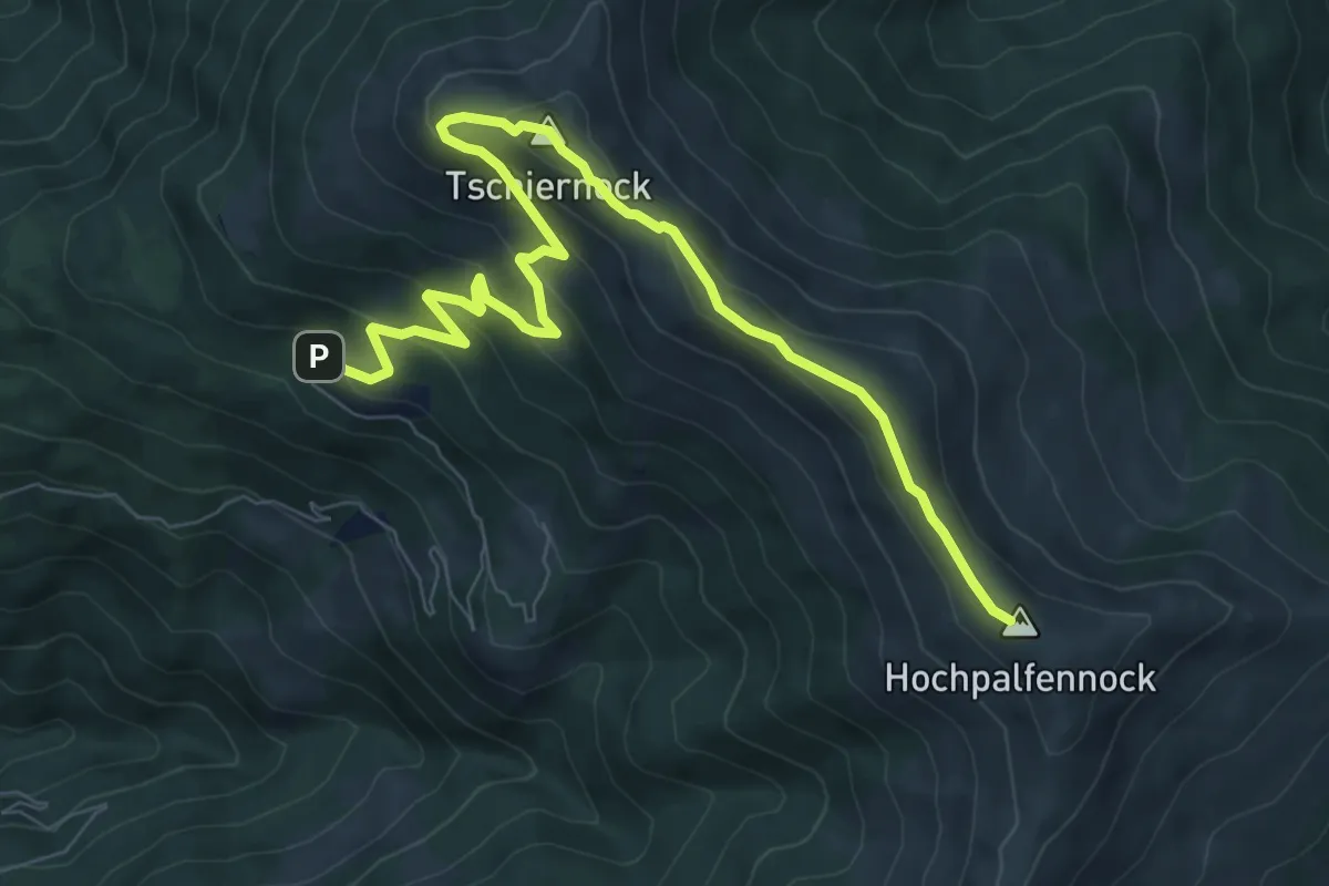
Medium · Summit
11
9.9 km · ↑ 540 m · 3 h 30 min · 13 km away
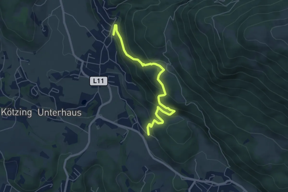
Medium · Trail
12
5.5 km · ↑ 370 m · 2 h 6 min · 14 km away
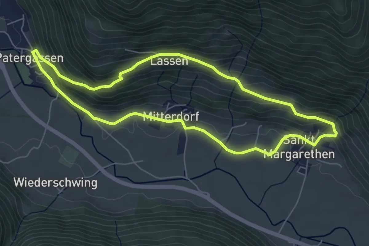
Easy · Trail
5
5.0 km · ↑ 196 m · 1 h 40 min · 14 km away