Trails near Sillian
73 hikes starting within 15 km, nearest first.
Nearest first, page 2 of 2
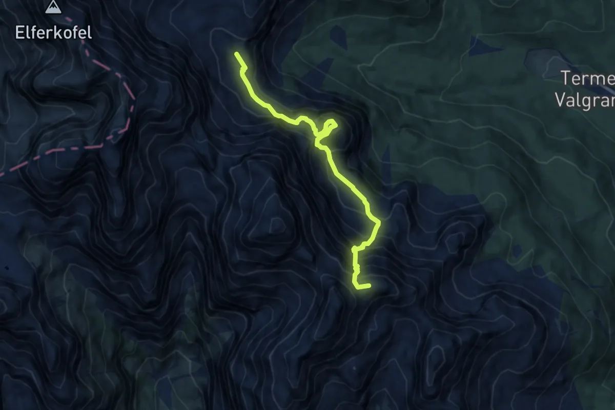
Demanding · Summit
Rif. A. Berti – Bivacco Gera
8.7 km · ↑ 1257 m · 4 h 46 min · 13 km away
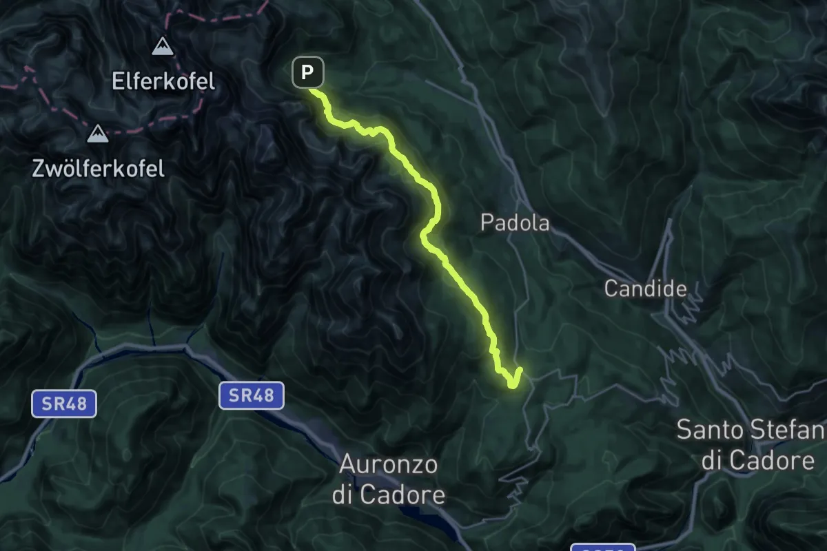
Demanding · Trail
Nei pressi del Passo S.Antonio – Rifugio Lunelli a Selvapiana
20.8 km · ↑ 926 m · 6 h 55 min · 13 km away
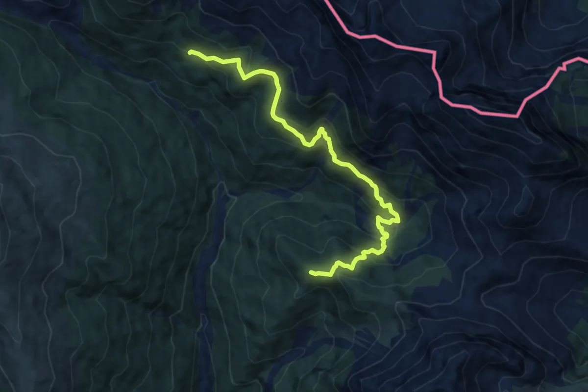
Demanding · Summit
Rio Saletta - da sent. 142 – Casera Pian Formaggio
10.5 km · ↑ 801 m · 4 h 13 min · 13 km away
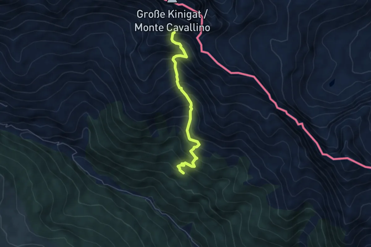
Medium · Trail
Casera Pian Formaggio – Testata della Val Granda (sotto M. Cavallino) - innesto sentiero 146
4.9 km · ↑ 610 m · 2 h 29 min · 13 km away
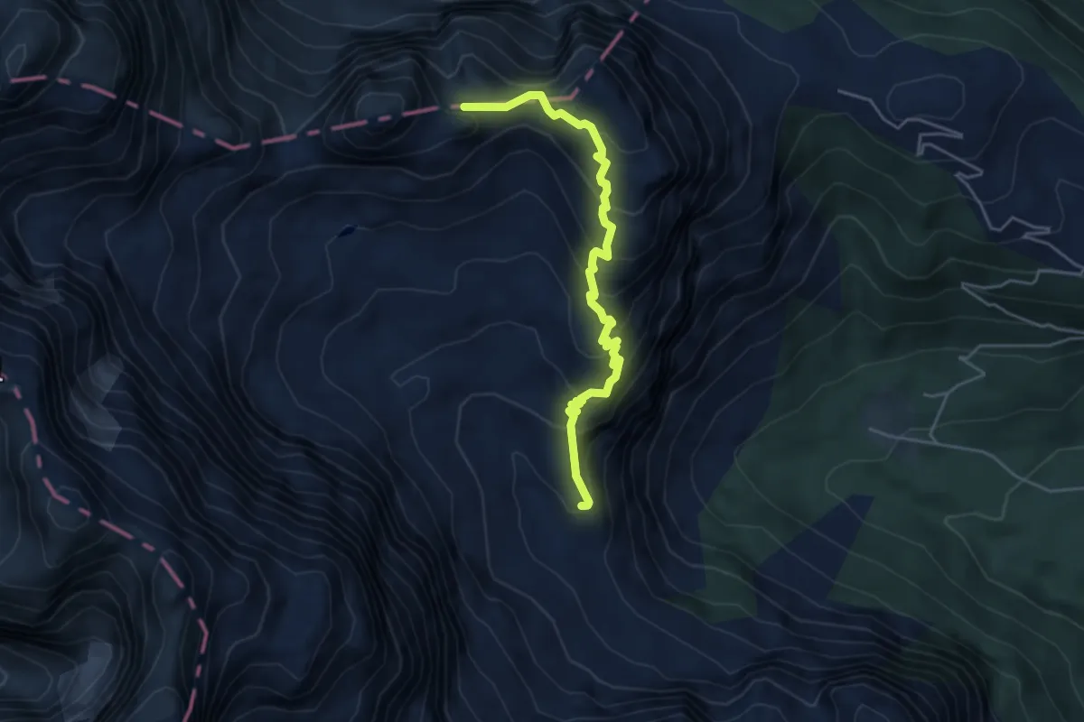
Demanding · Summit
Rifugio Berti – Forcella Popera
4.6 km · ↑ 437 m · 2 h 1 min · 13 km away
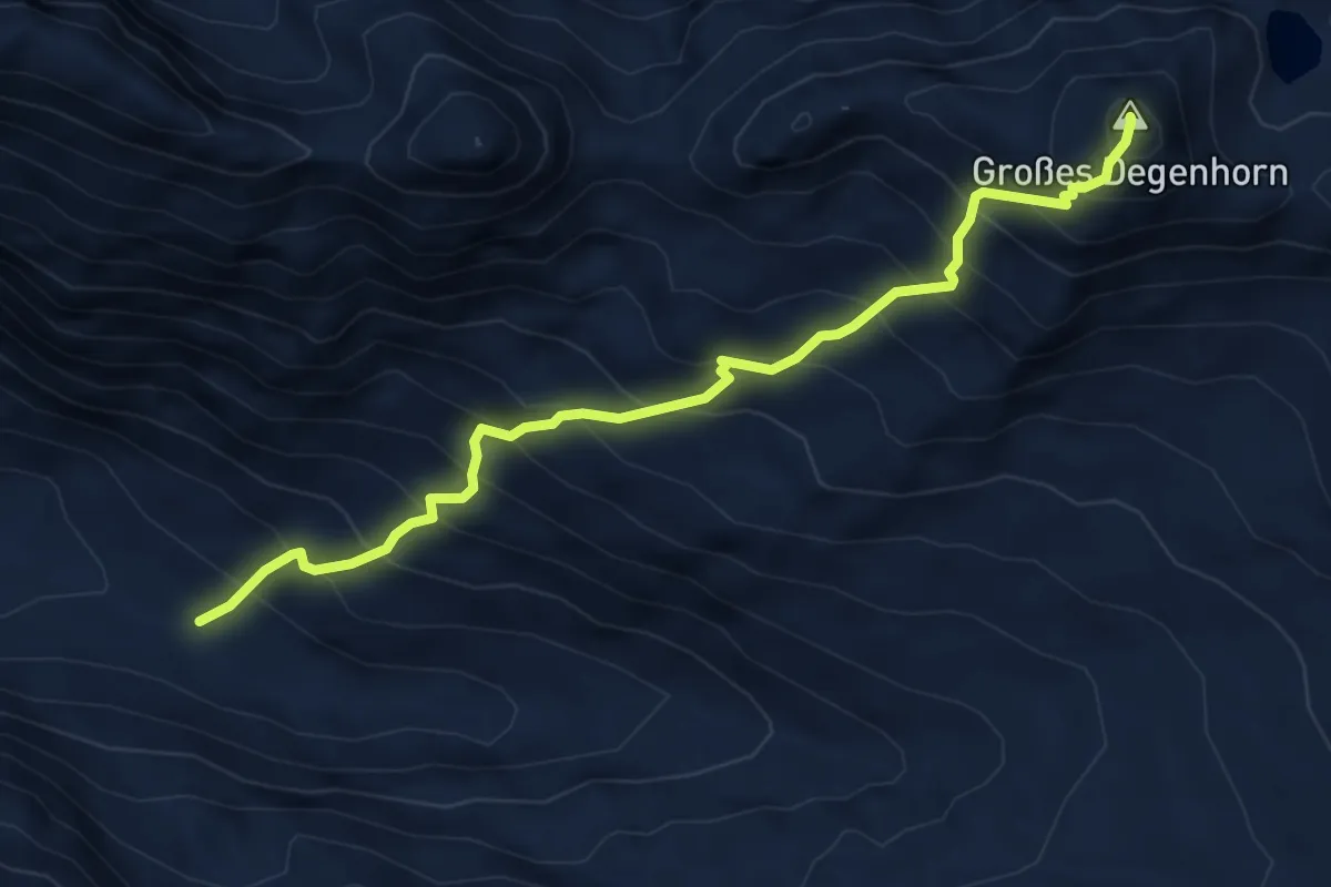
Expert · Summit
Herzass Trumpfvariante Deggenhorn
5.4 km · ↑ 815 m · 3 h 3 min · 13 km away
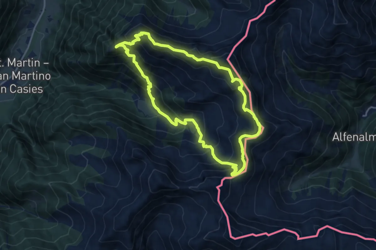
Demanding · Summit
Verseller Steig
11.0 km · ↑ 886 m · 4 h 41 min · 13 km away
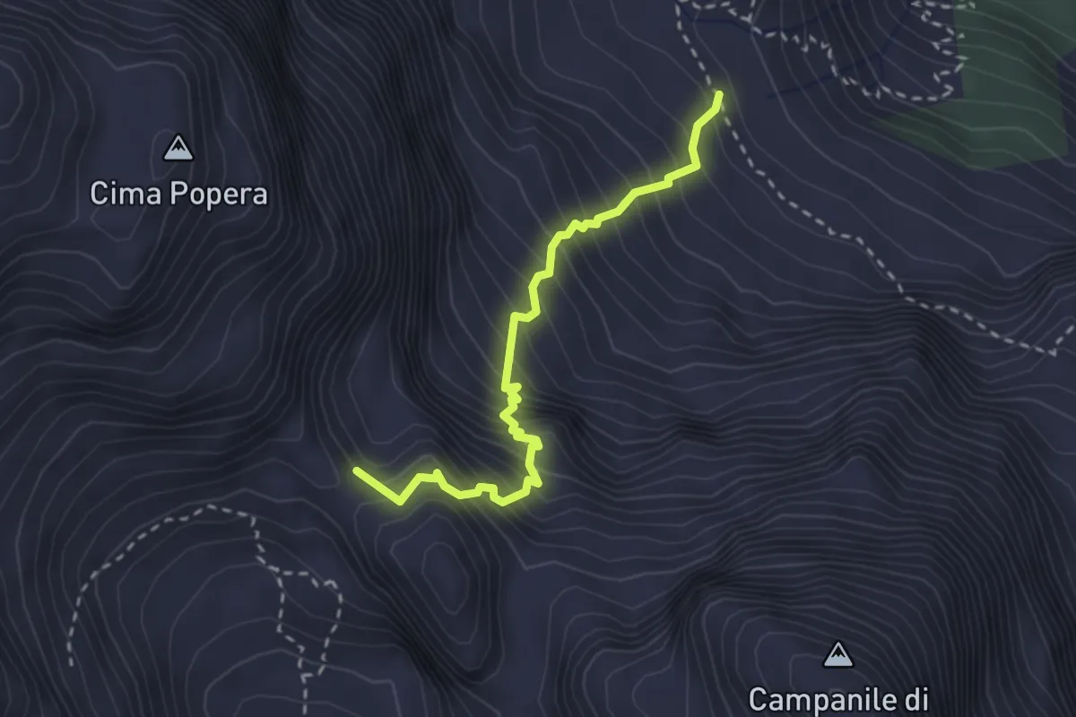
Expert · Summit
Ferrata Roghel
2.7 km · ↑ 596 m · 1 h 56 min · 13 km away
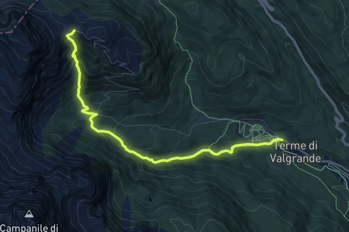
Medium · Trail
Bagni di Valgrande – Forcella Pian della Biscia - inn. sent. 124
9.5 km · ↑ 640 m · 3 h 37 min · 13 km away
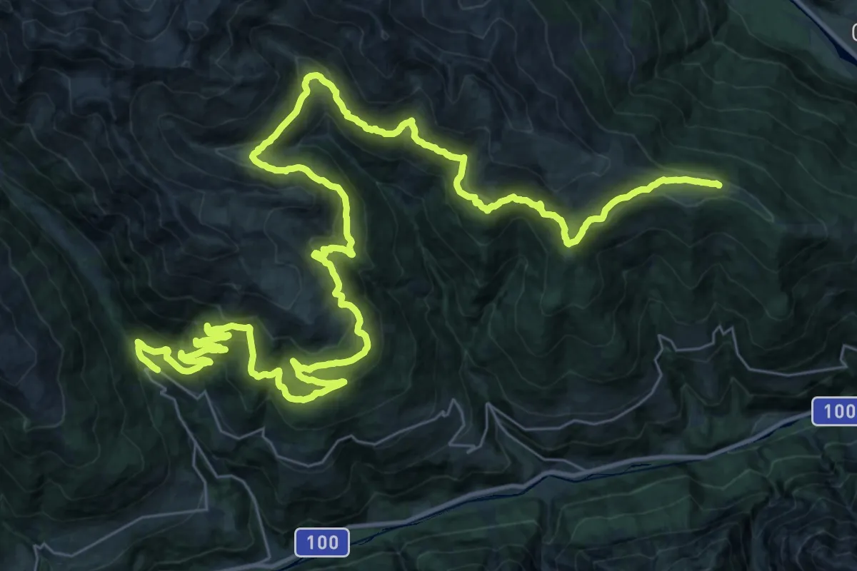
Demanding · Summit
Pustertaler Almweg
54.0 km · ↑ 2507 m · 18 h 10 min · 13 km away
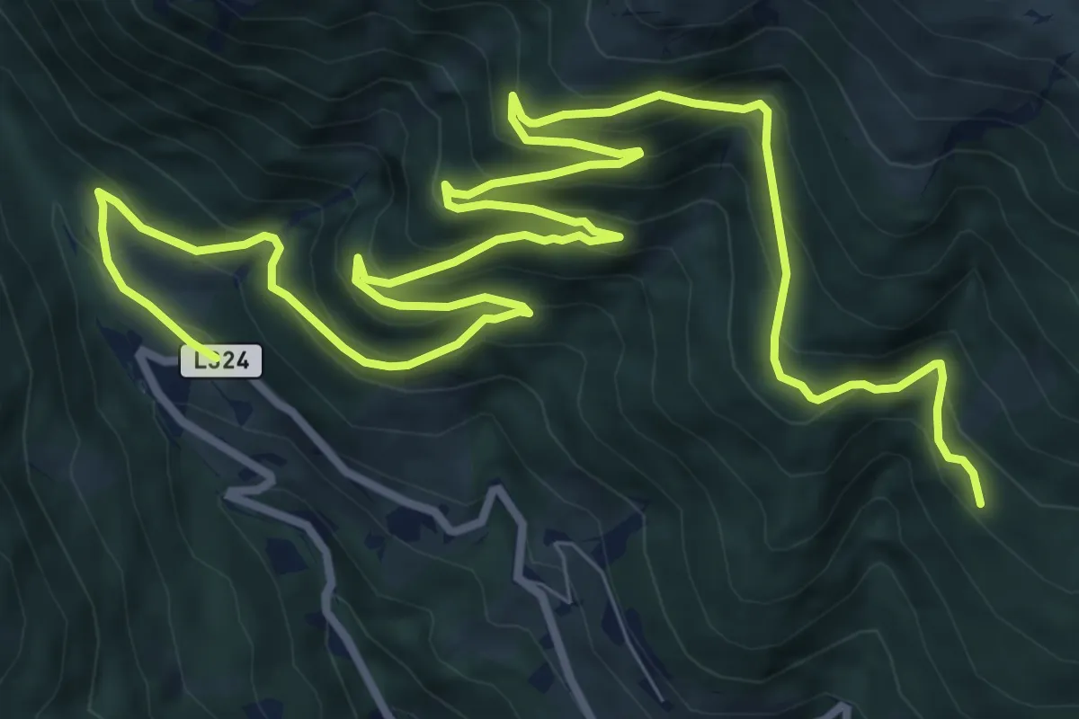
Demanding · Trail
[17] Vergeinerwaldweg
14.3 km · ↑ 802 m · 5 h 7 min · 13 km away
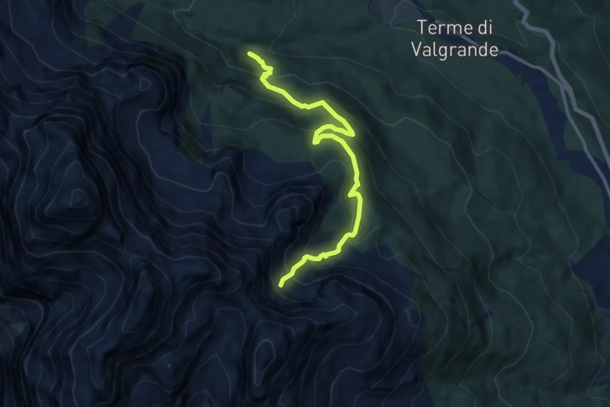
Medium · Trail
Valgrande - Rio del Sasso - da sentiero 171 – Valon de la Sapada - innesto sentieri 123 e 153
8.5 km · ↑ 620 m · 3 h 22 min · 13 km away
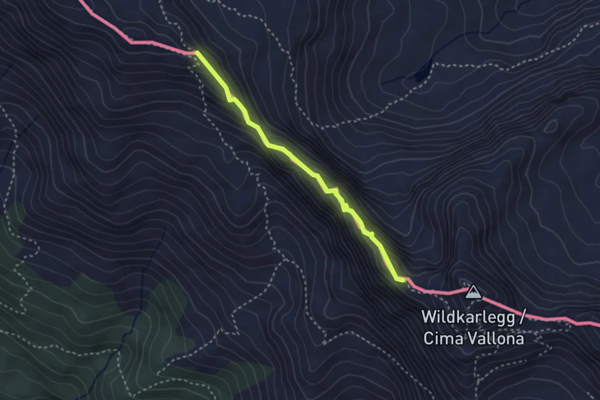
Expert · Trail
Sentiero attrezzato Corrado D'Ambros
2.7 km · ↑ 240 m · 1 h 10 min · 14 km away
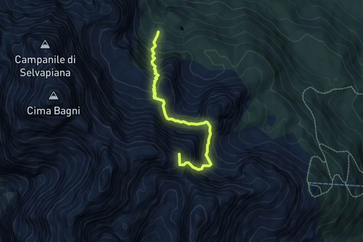
Expert · Summit
Auronzo - Reane – sopra Lago Ciadin, innesto su sentiero 164
6.1 km · ↑ 984 m · 3 h 34 min · 14 km away
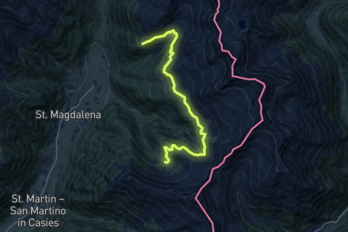
Demanding · Trail
Almweg 2000
13.9 km · ↑ 803 m · 5 h 1 min · 14 km away
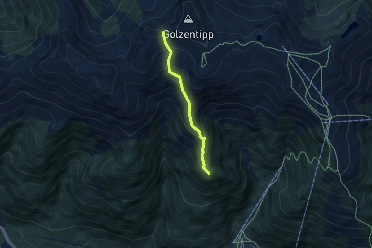
Easy · Summit
Wanderweg 47
3.5 km · ↑ 288 m · 1 h 27 min · 14 km away
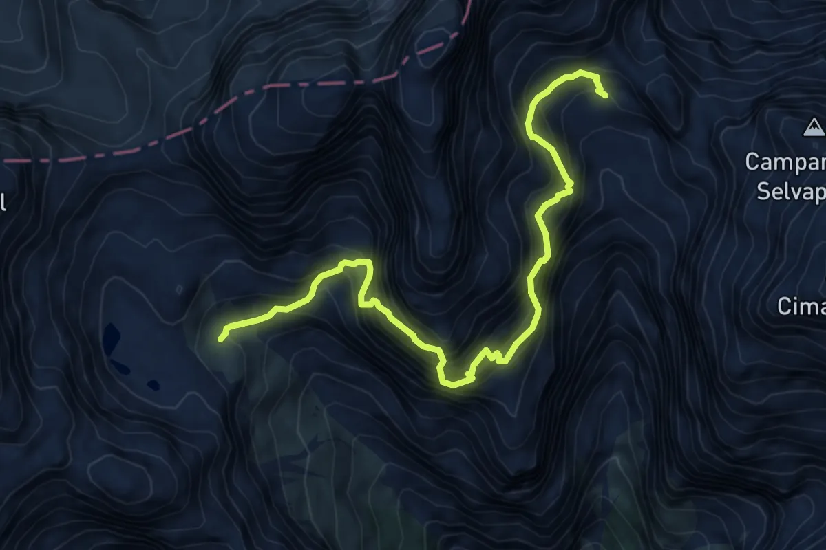
Expert · Trail
Ferrata Cengia Gabriella
7.5 km · ↑ 1486 m · 5 h · 14 km away
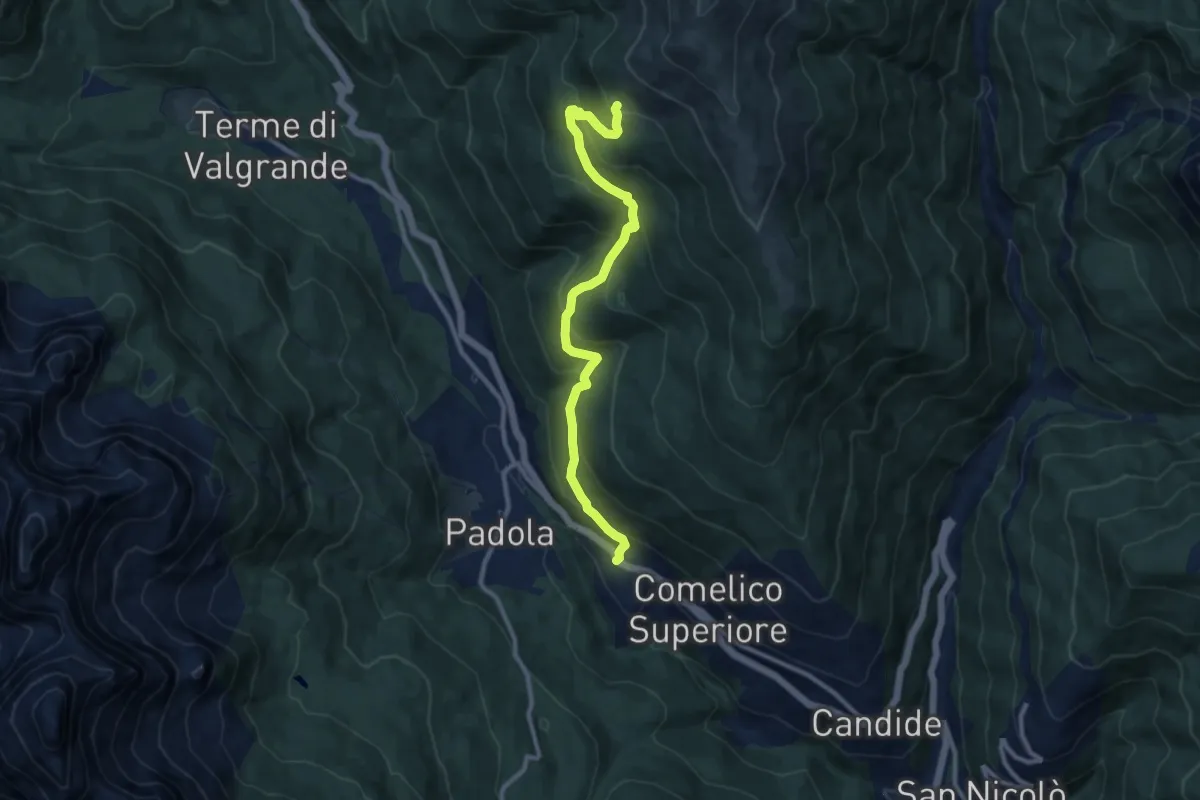
Medium · Trail
Dosoledo - Nellere – Casera Ciampobon - inn. sent. 149
10.2 km · ↑ 689 m · 3 h 53 min · 14 km away
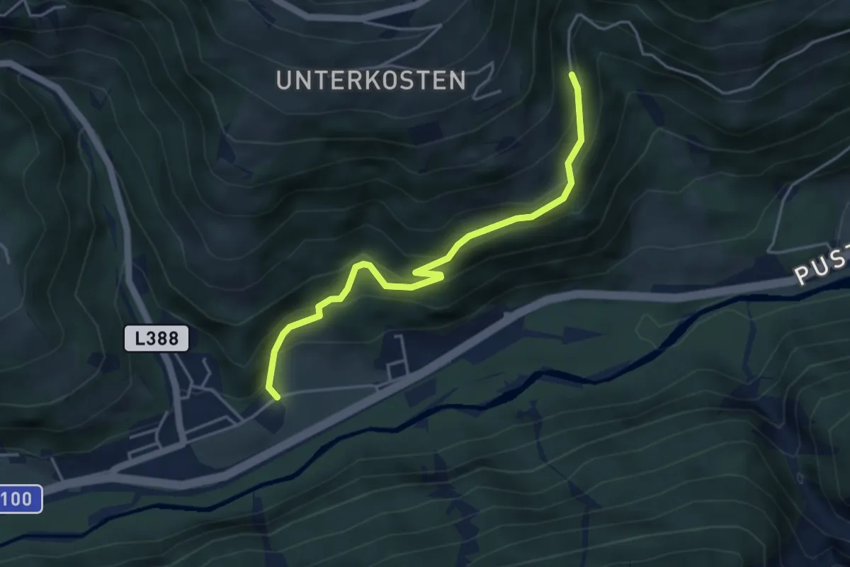
Easy · Trail
[20] Herolerweg
4.1 km · ↑ 261 m · 1 h 32 min · 14 km away
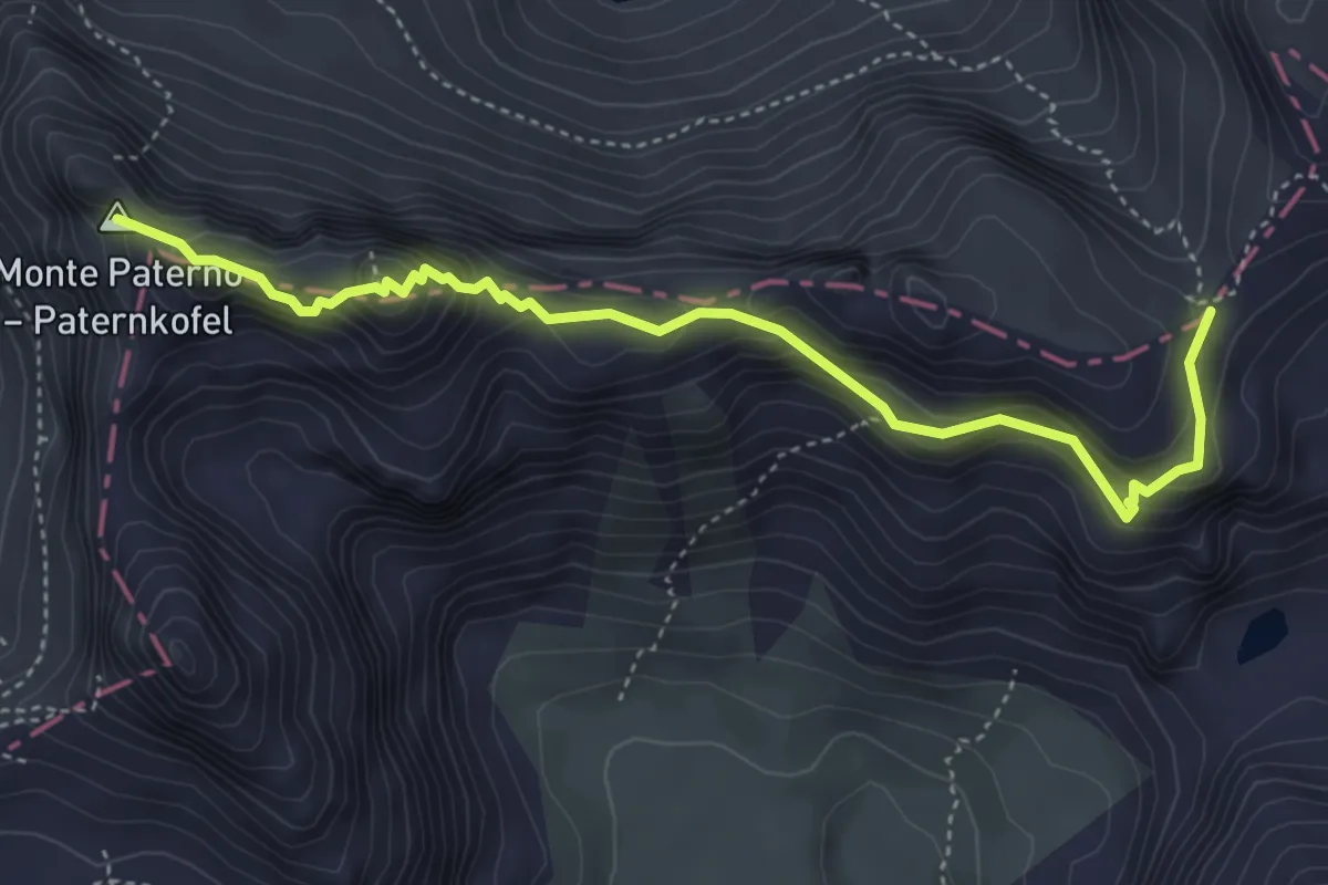
Expert · Summit
Sentiero attrezzato "delle Forcelle" al Paterno - Gamsschartensteig
4.6 km · ↑ 607 m · 2 h 24 min · 15 km away
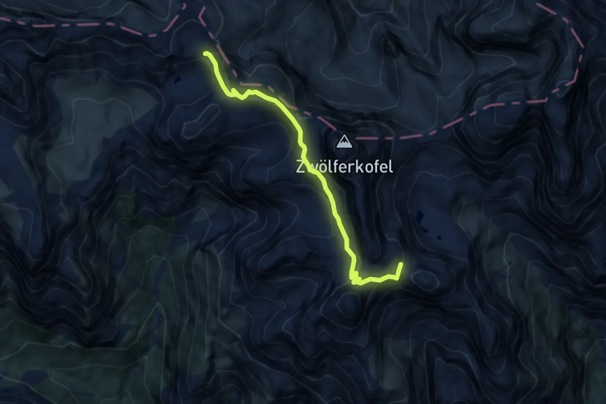
Expert · Summit
Sopra Lago di Cengia inn. sent. 104 – Rifugio Carducci inn. sent. 103
7.7 km · ↑ 1058 m · 4 h 6 min · 15 km away
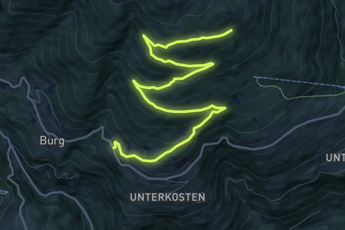
Medium · Trail
[16] Kosterwaldweg
12.1 km · ↑ 587 m · 4 h 8 min · 15 km away
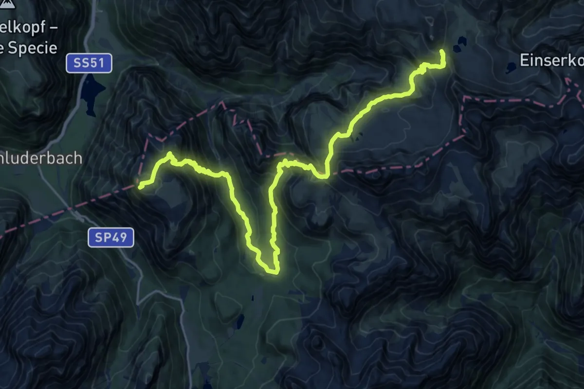
Demanding · Summit
Misurina – Rifugio Locatelli alle Tre Cime di Lavaredo (Dreizinnenhutte)
24.4 km · ↑ 1727 m · 9 h 30 min · 15 km away
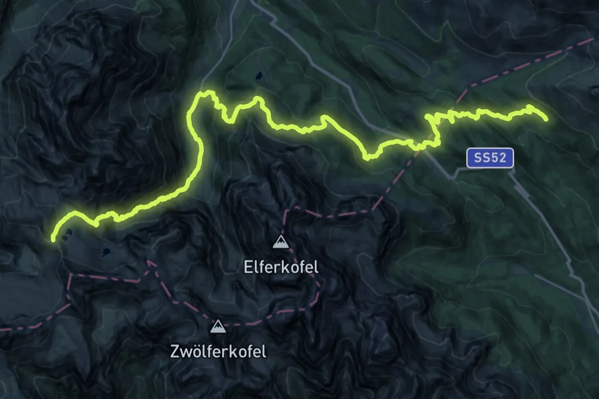
Demanding · Cabin
Rifugio Locatelli alle Tre Cime di Lavaredo (Dreizinnenhutte) – Rifugio Casera Rinfredo
20.0 km · ↑ 890 m · 7 h 11 min · 15 km away
Demanding · Cabin
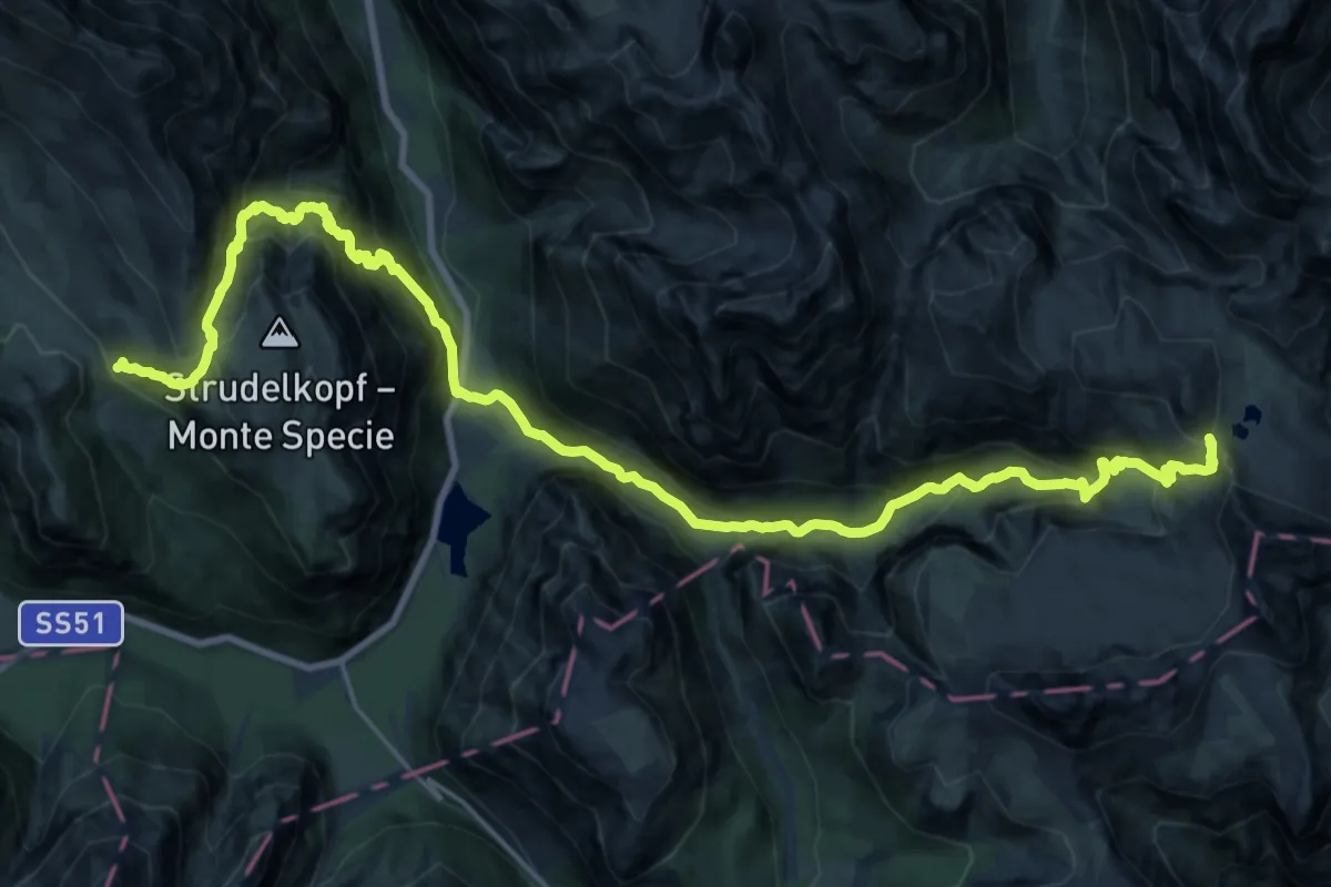
Via Alpina Red R27
14.0 km · ↑ 1000 m · 5 h 51 min · 15 km away