Trails in Austria
9,777 hiking trails, each with its route, climb, walking time and grade.
All trails, page 134 of 204
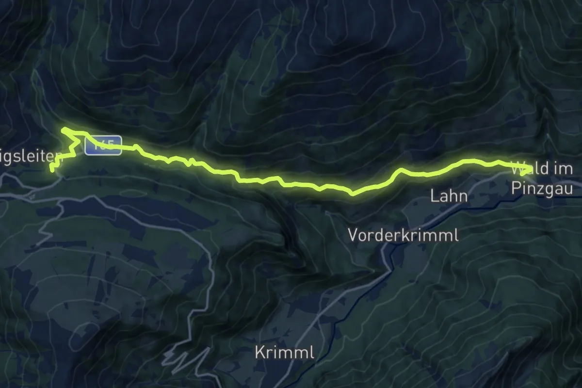
Demanding · Trail
Wanderweg 165 - Wald/Königsleiten
18.6 km · ↑ 671 m · 5 h 50 min
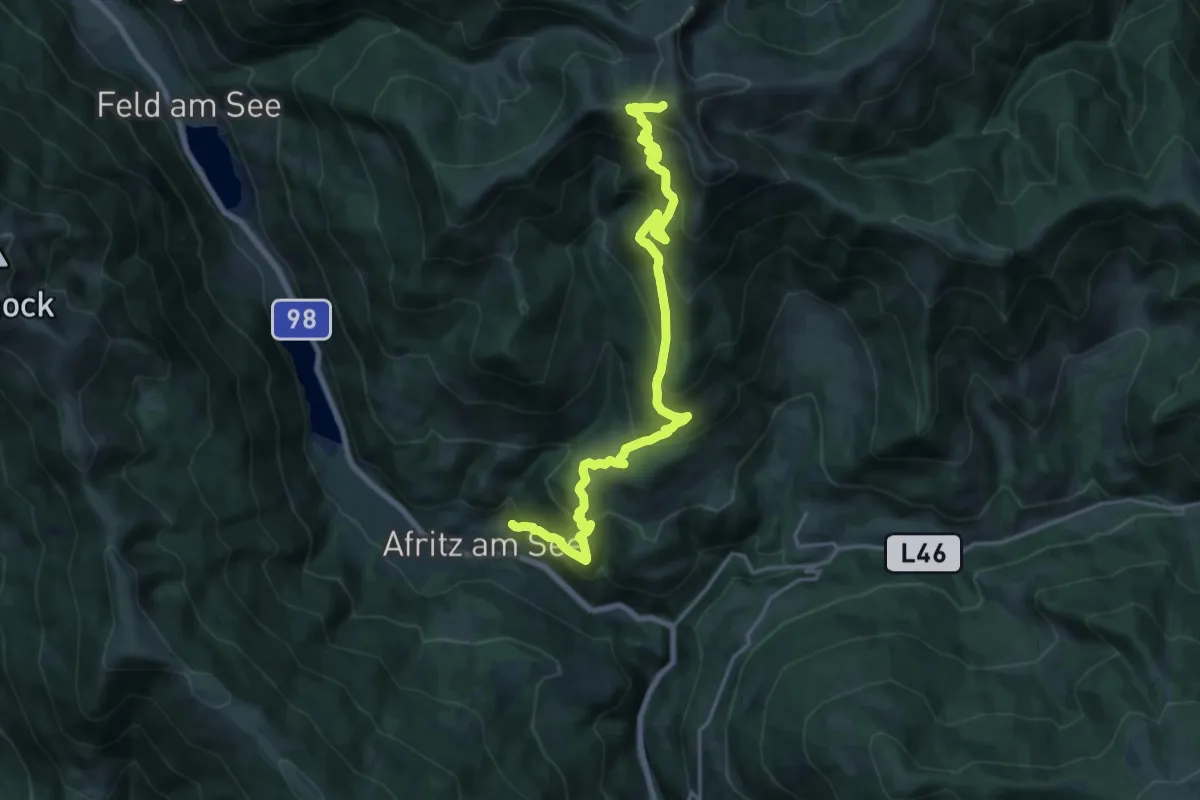
Medium · Trail
Wanderweg 166
10.9 km · ↑ 0 m · 3 h 25 min
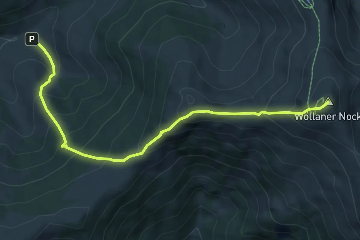
Medium · Summit
Wanderweg 167
6.5 km · ↑ 661 m · 2 h 58 min
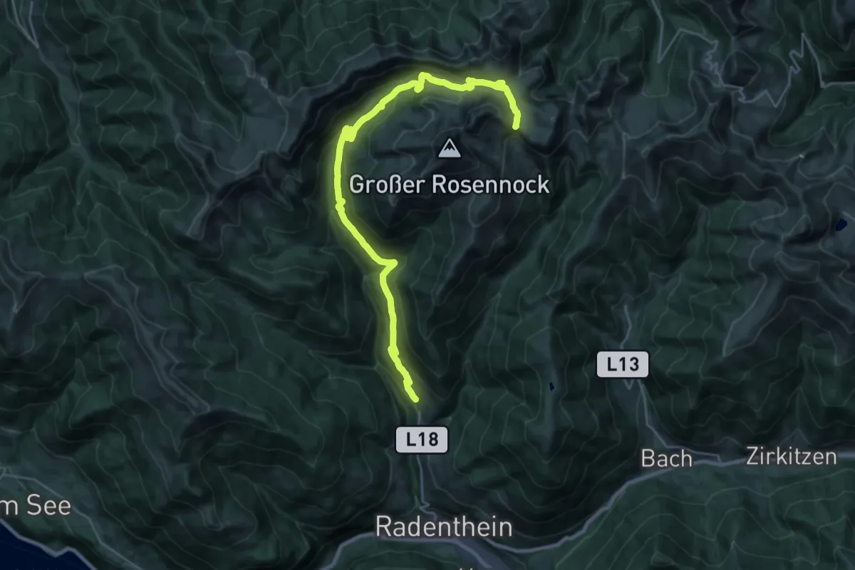
Medium · Trail
Wanderweg 169
14.4 km · ↑ 15 m · 4 h 10 min
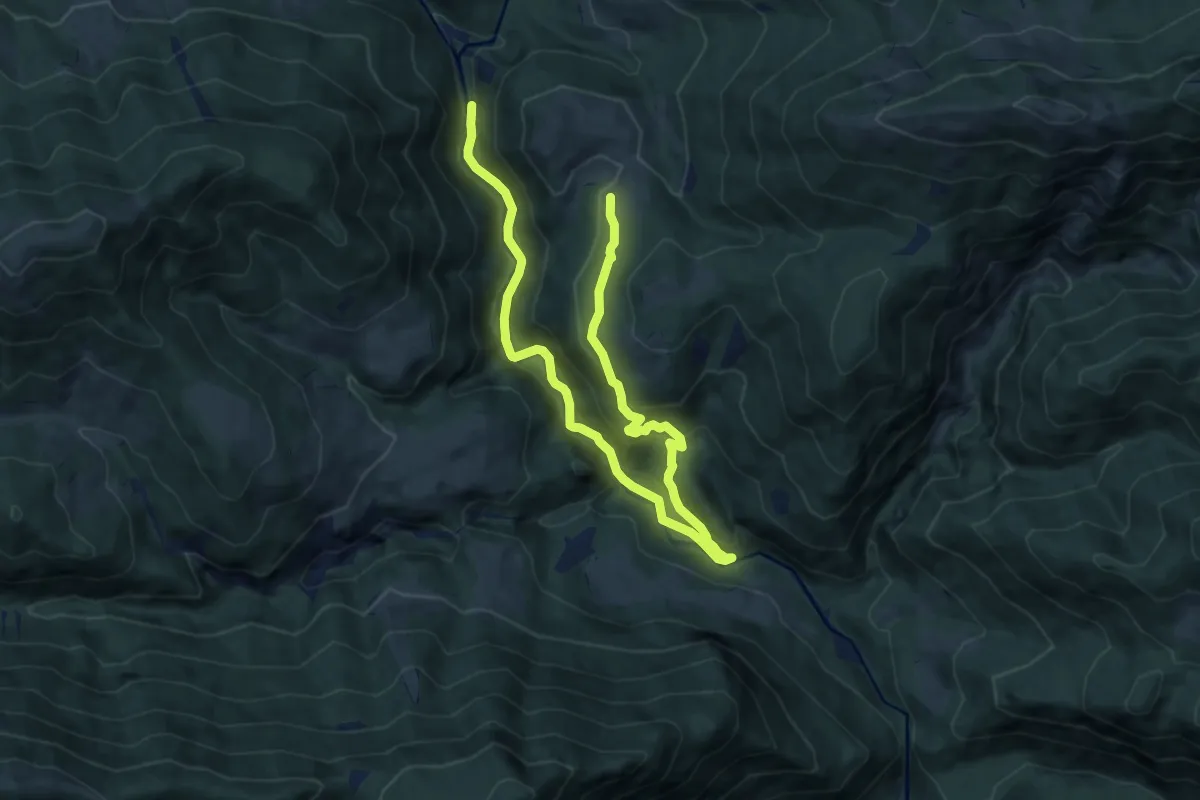
Medium · Trail
Wanderweg 16a
13.2 km · ↑ 512 m · 4 h 14 min
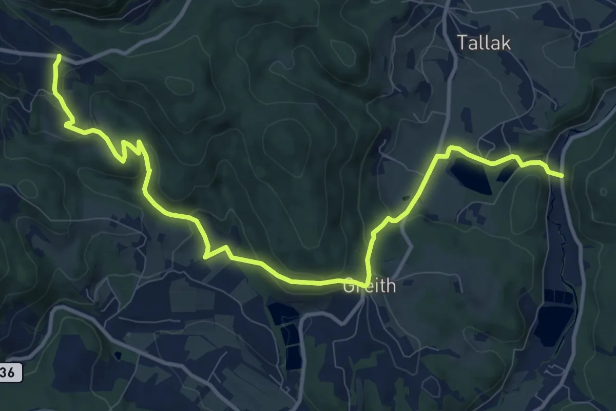
Medium · Trail
Wanderweg 16, Greitherweg
11.8 km · ↑ 390 m · 3 h 37 min
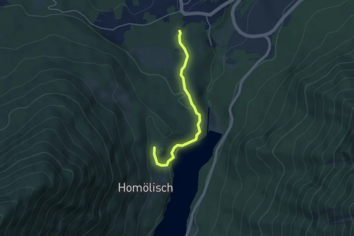
Easy · Trail
Wanderweg 16H
3.6 km · ↑ 86 m · 1 h 2 min
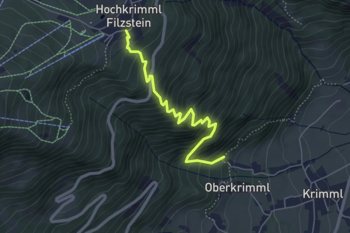
Medium · Trail
Wanderweg 16 - Krimml
4.4 km · ↑ 482 m · 2 h 5 min
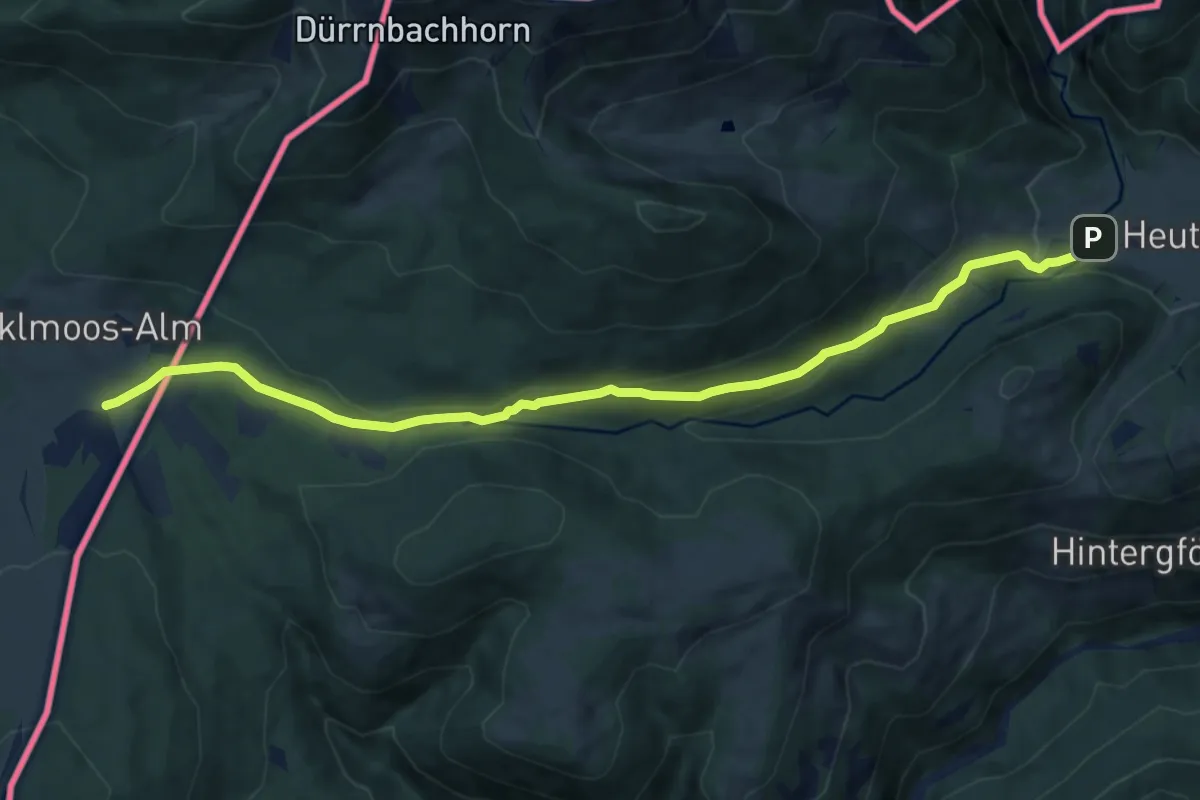
Medium · Trail
Wanderweg 16 - Winklmoosalm - Hemmersuppenalm
10.8 km · ↑ 269 m · 3 h 8 min
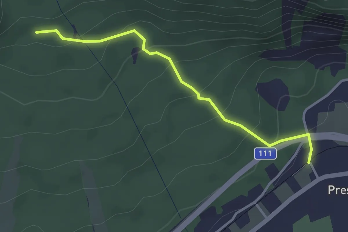
Easy · Trail
Wanderweg 17
2.8 km · ↑ 167 m · 1 h 1 min
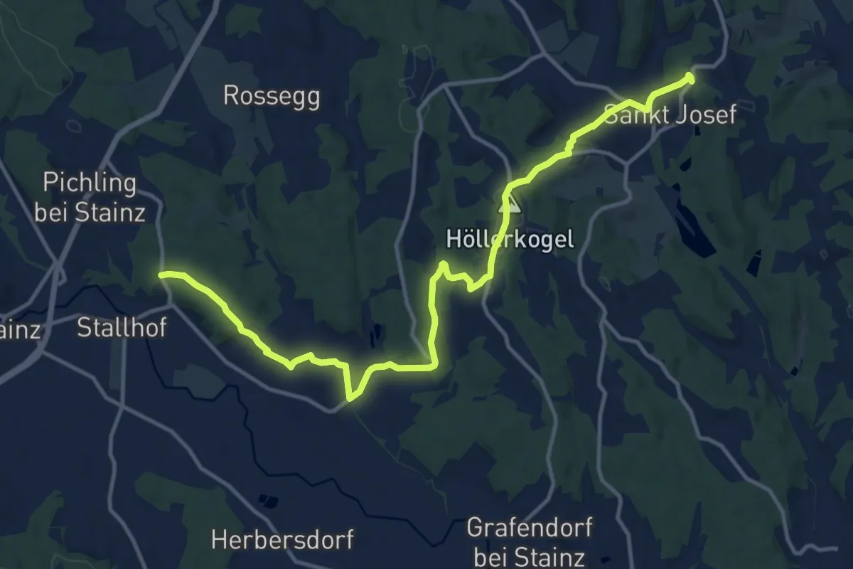
Easy · Summit
Wanderweg 17
7.2 km · ↑ 154 m · 2 h 8 min
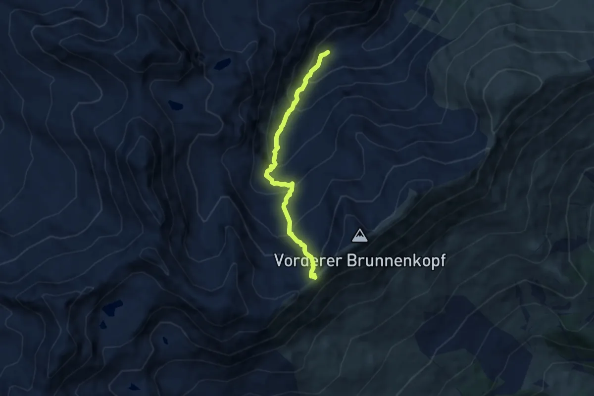
Demanding · Trail
Wanderweg 17
6.2 km · ↑ 633 m · 2 h 50 min
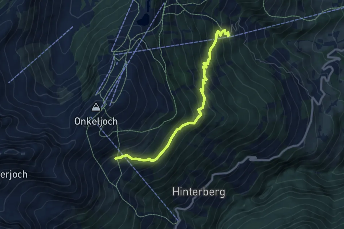
Medium · Trail
Wanderweg 17
6.7 km · ↑ 526 m · 2 h 43 min
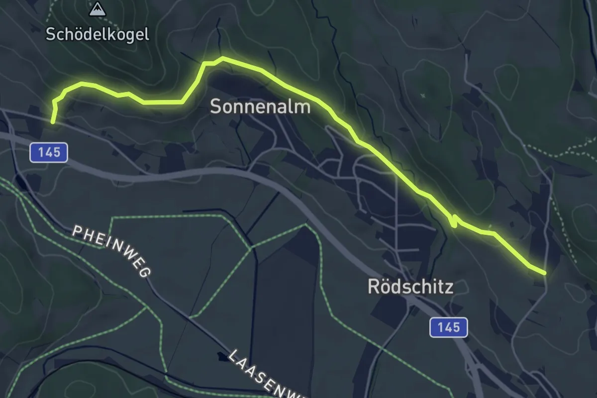
Easy · Trail
Wanderweg 17
5.4 km · ↑ 140 m · 1 h 35 min
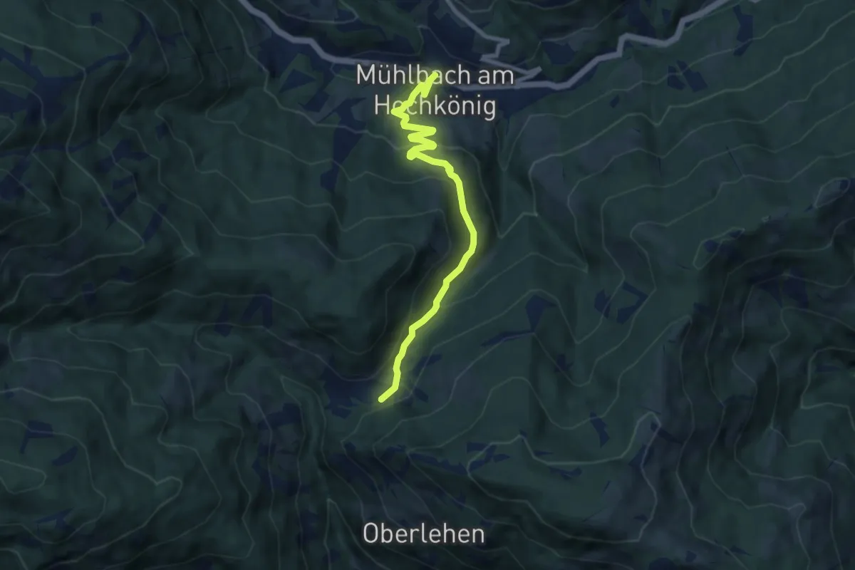
Medium · Trail
Wanderweg 17
7.8 km · ↑ 346 m · 2 h 35 min
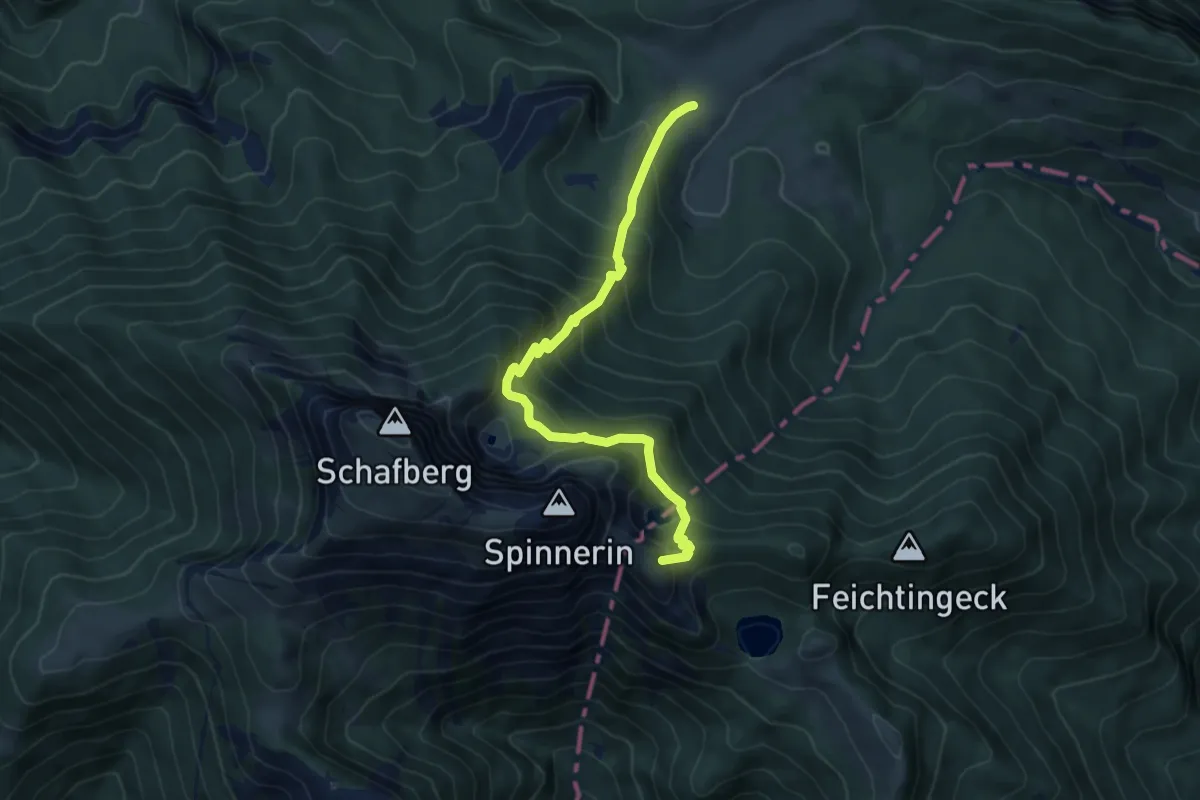
Expert · Summit
Wanderweg 17
6.2 km · ↑ 667 m · 2 h 55 min
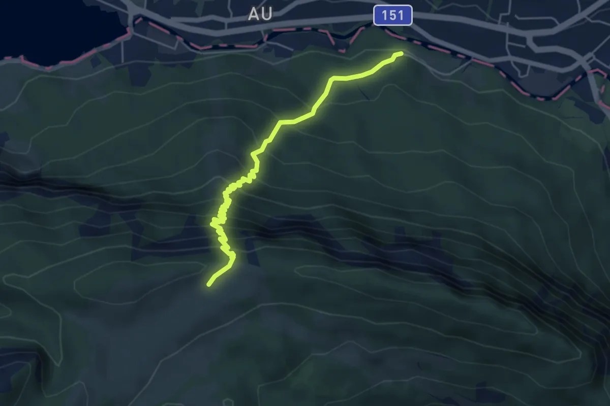
Medium · Trail
Wanderweg 17
4.9 km · ↑ 547 m · 2 h 20 min
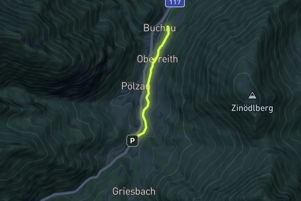
Easy · Trail
Wanderweg 17
3.9 km · ↑ 44 m · 1 h 1 min
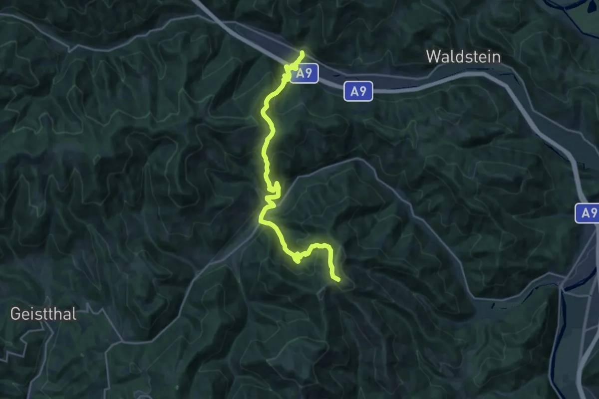
Demanding · Summit
Wanderweg 17
18.8 km · ↑ 1243 m · 7 h 8 min
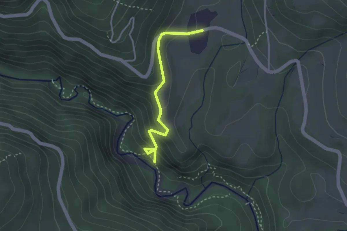
Easy · Trail
Wanderweg 17
2.6 km · ↑ 191 m · 1 h 1 min
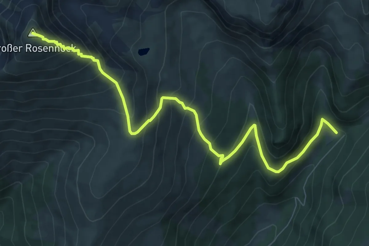
Demanding · Summit
Wanderweg 170
9.6 km · ↑ 807 m · 4 h 1 min
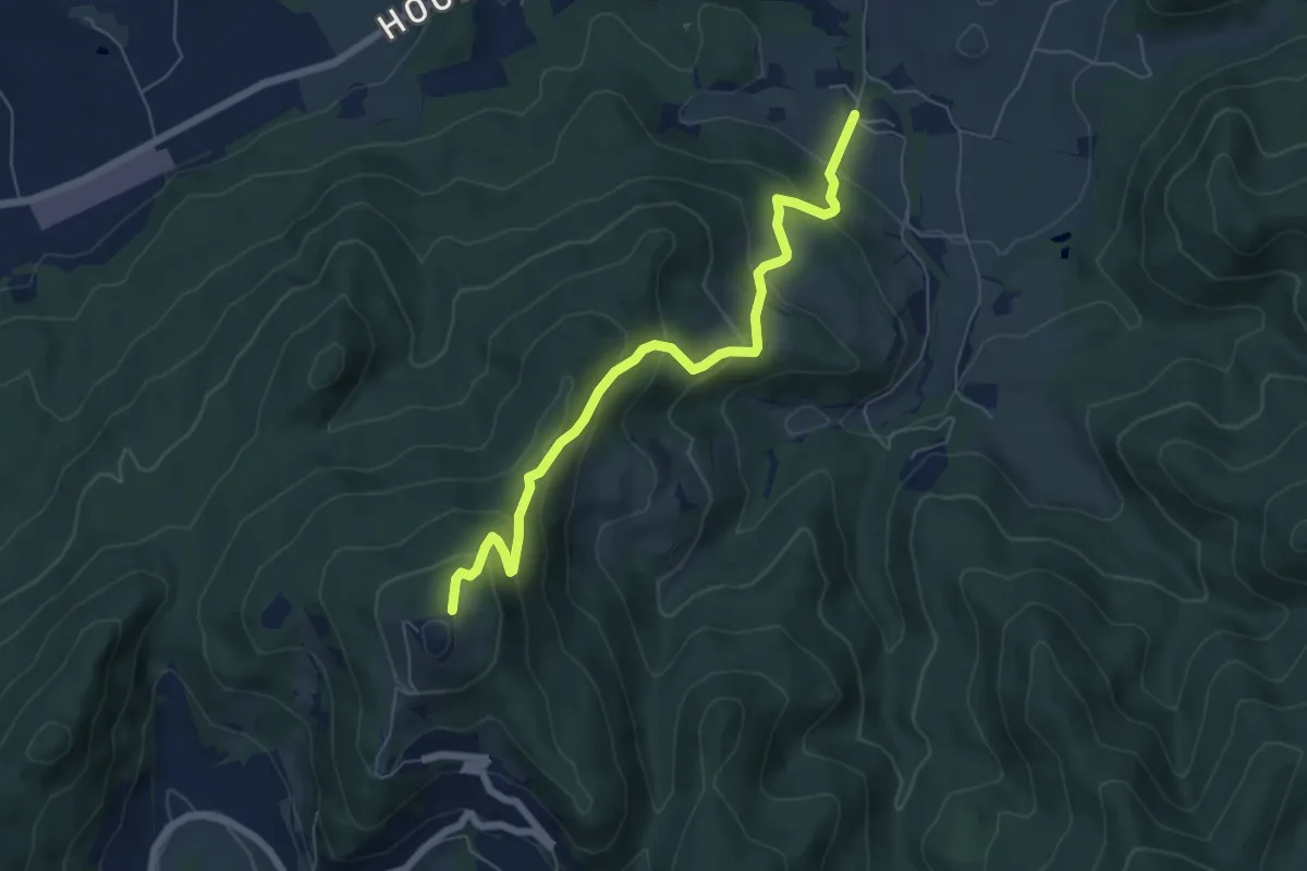
Medium · Trail
Wanderweg 171
6.4 km · ↑ 445 m · 2 h 29 min
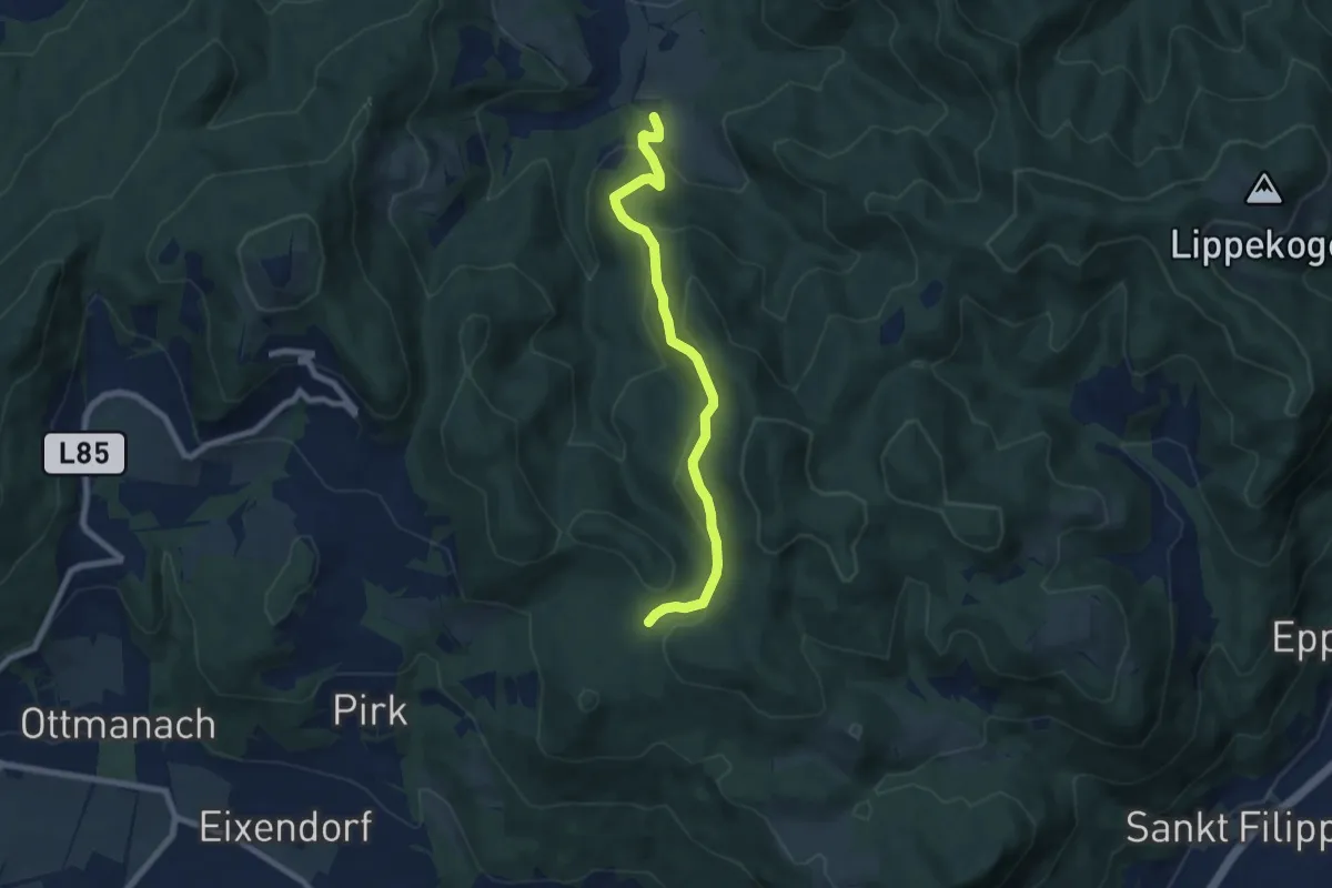
Medium · Trail
Wanderweg 172
7.1 km · ↑ 326 m · 2 h 23 min
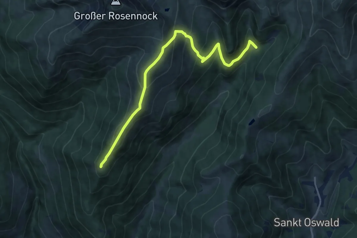
Medium · Summit
Wanderweg 173
12.0 km · ↑ 719 m · 4 h 23 min
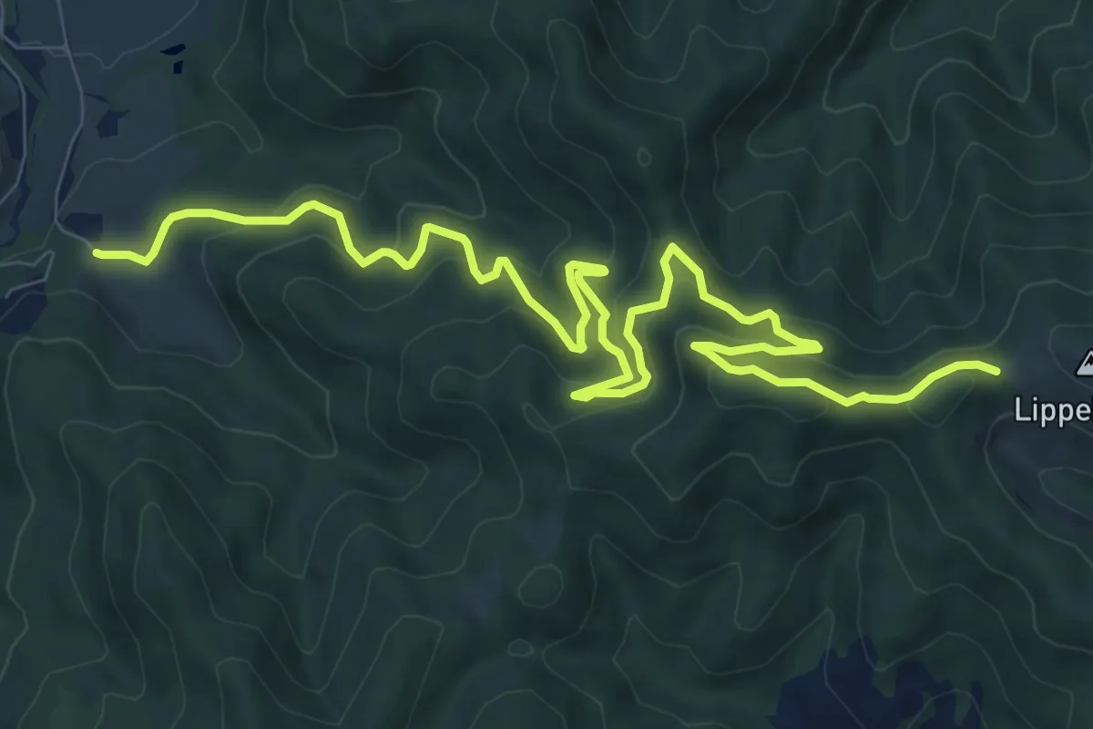
Medium · Trail
Wanderweg 173
12.5 km · ↑ 438 m · 3 h 54 min
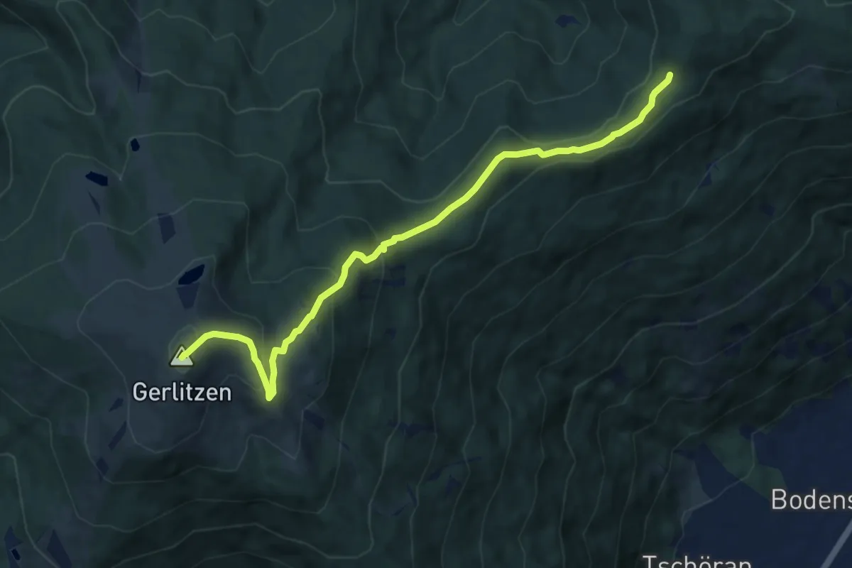
Medium · Summit
Wanderweg 175
9.8 km · ↑ 478 m · 3 h 20 min
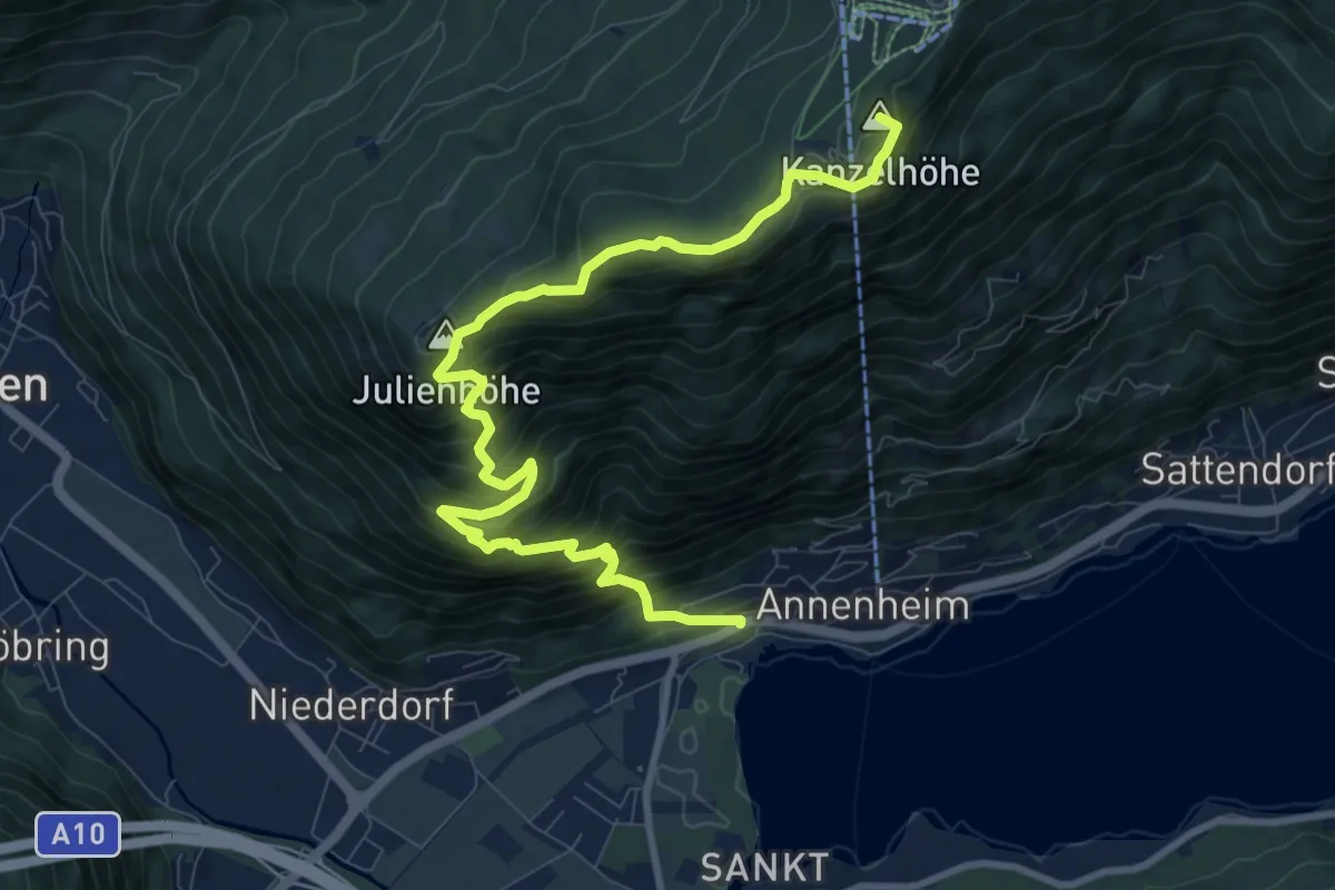
Demanding · Summit
Wanderweg 176
11.1 km · ↑ 1061 m · 4 h 55 min
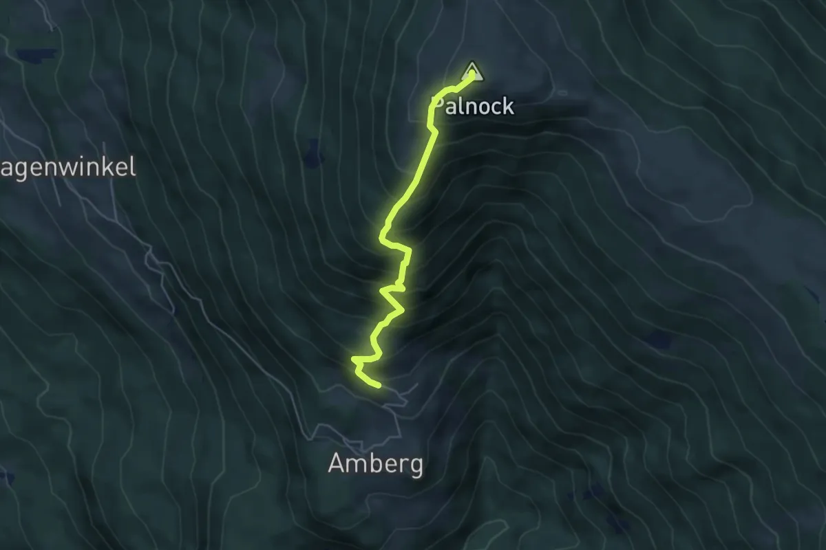
Medium · Summit
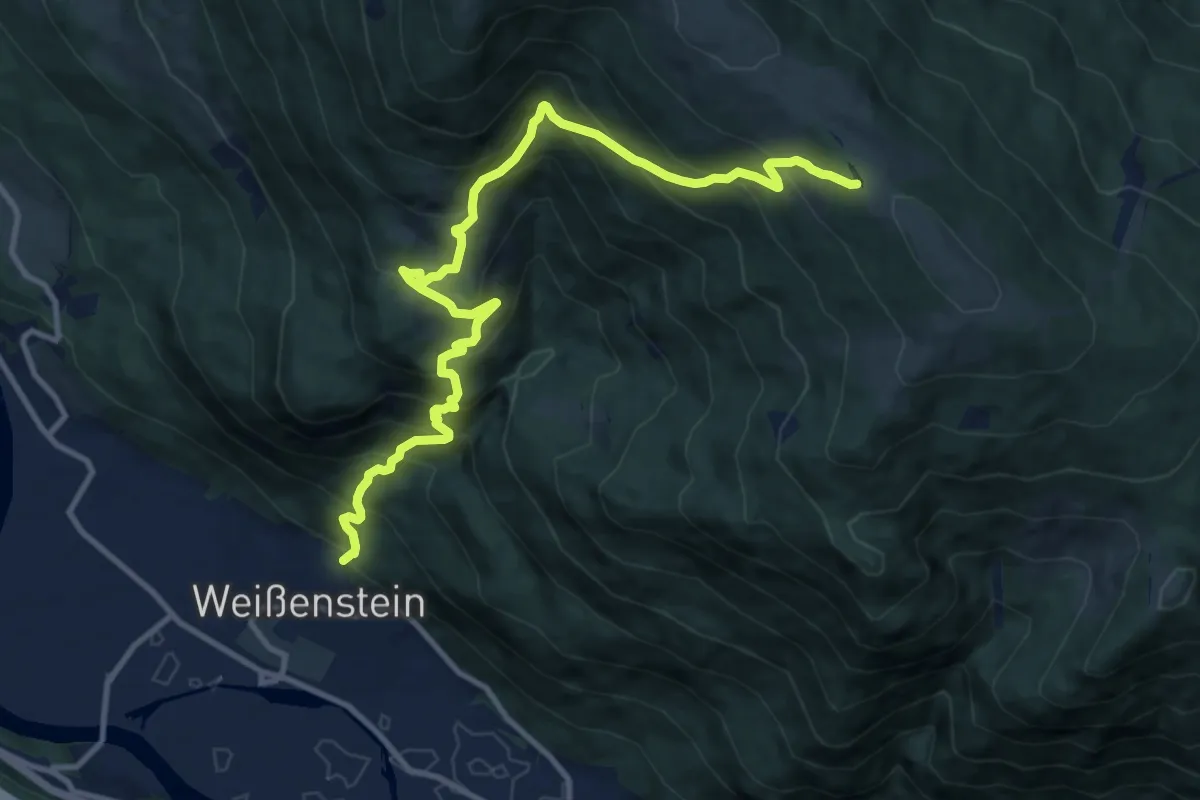
Wanderweg 178-1 Amberg - Palnock
4.4 km · ↑ 601 m · 2 h 20 min
Demanding · Trail
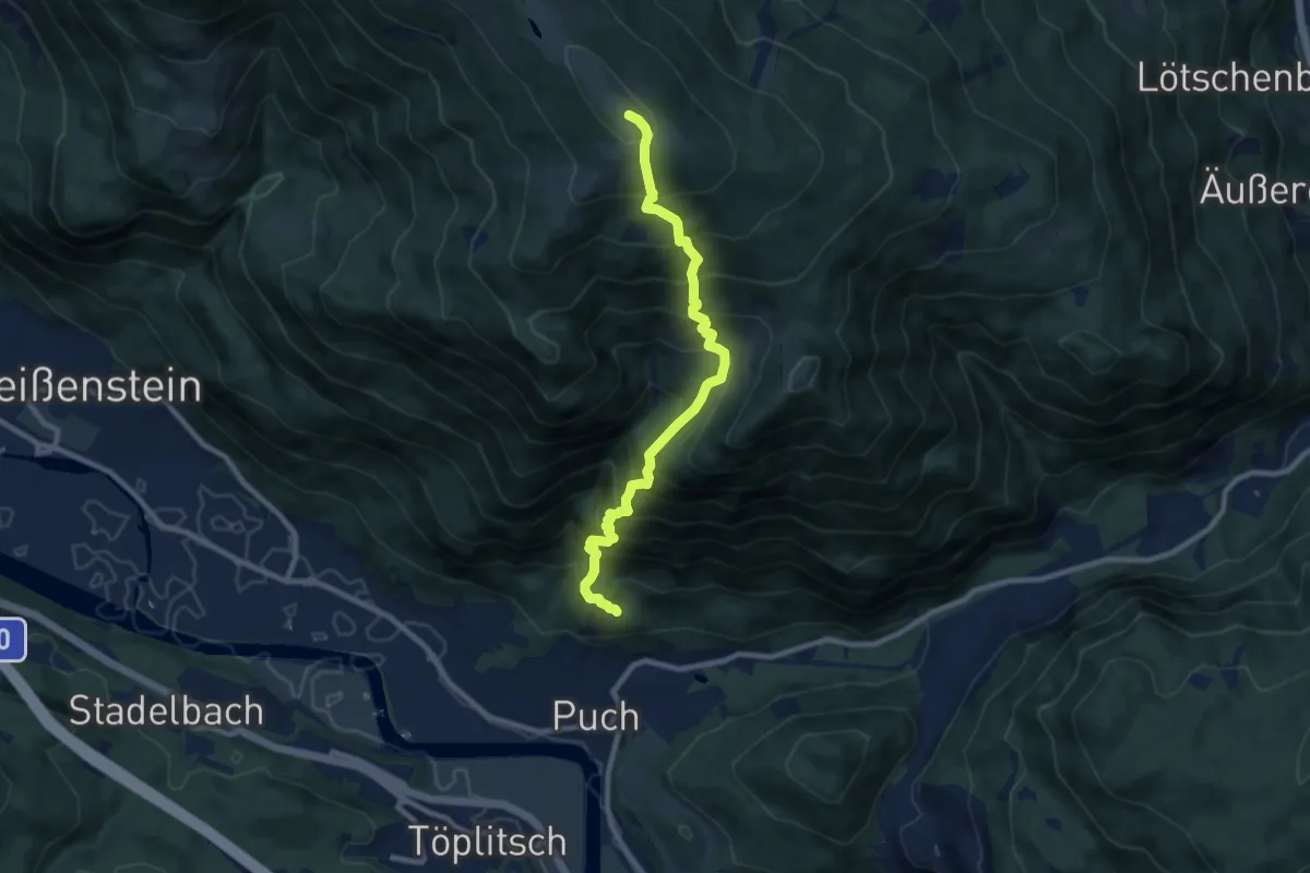
Wanderweg 178 Weißenstein - Amberg - Schwarzsee
12.7 km · ↑ 1197 m · 5 h 35 min
Demanding · Summit
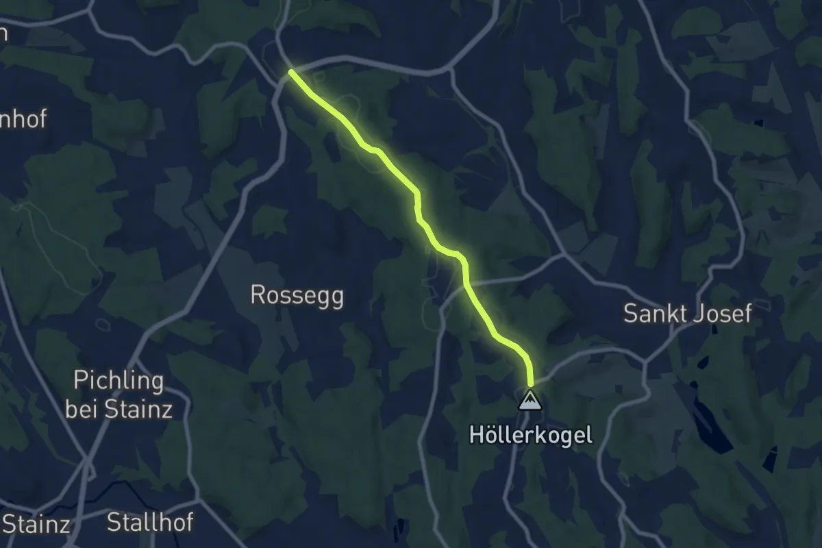
Wanderweg 179 Puch - Schwarzsee
8.8 km · ↑ 1193 m · 4 h 40 min
Easy · Summit
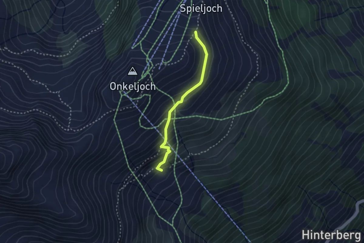
Wanderweg 17A
3.5 km · ↑ 22 m · 55 min
Easy · Trail
Wanderweg 17A
2.4 km · ↑ 202 m · 1 h 1 min
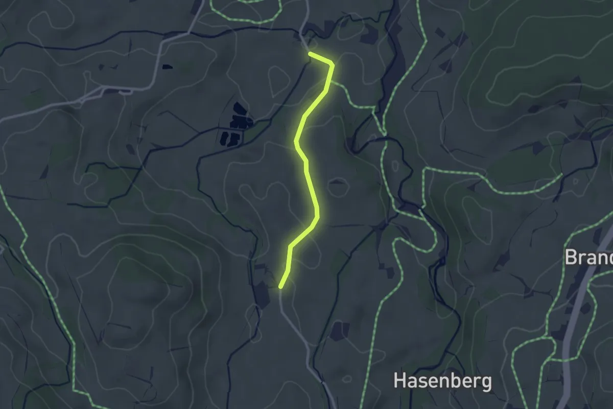
Easy · Trail
Wanderweg 17 - Kössen
2.1 km · ↑ 42 m · 36 min
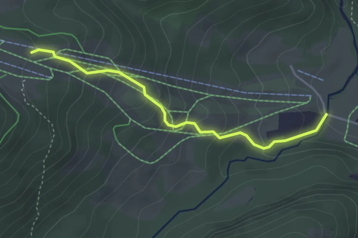
Medium · Trail
Wanderweg 17 - Reit im Winkl
3.2 km · ↑ 306 m · 1 h 25 min
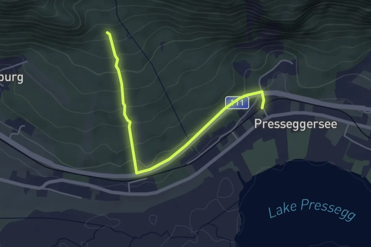
Easy · Trail
Wanderweg 18
4.2 km · ↑ 175 m · 1 h 22 min
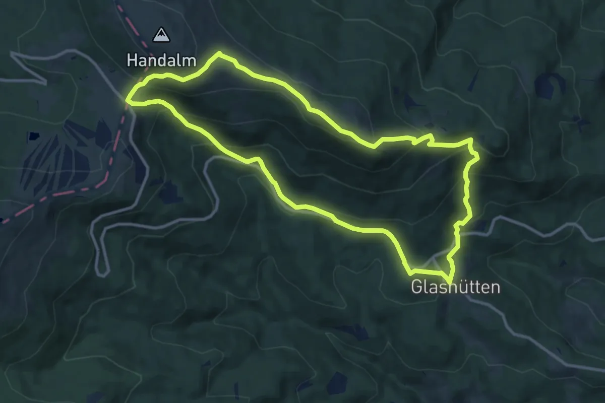
Medium · Summit
Wanderweg 18
9.9 km · ↑ 541 m · 3 h 39 min
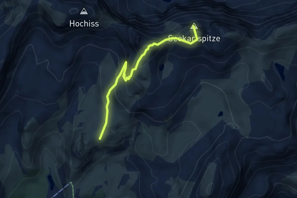
Demanding · Summit
Wanderweg 18
4.0 km · ↑ 460 m · 1 h 56 min
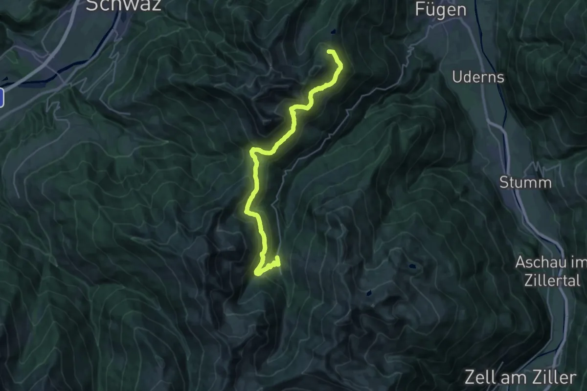
Demanding · Summit
Wanderweg 18
23.8 km · ↑ 1030 m · 7 h 51 min
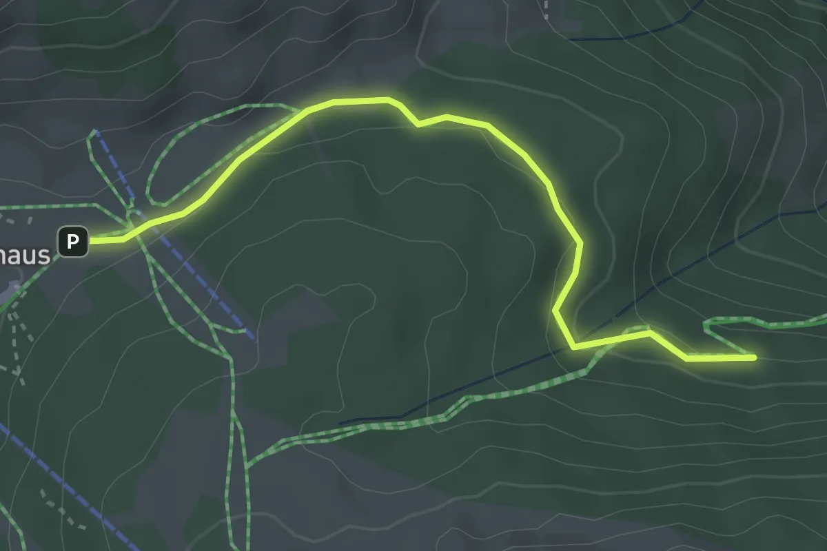
Easy · Trail
Wanderweg 18
3.4 km · ↑ 51 m · 54 min
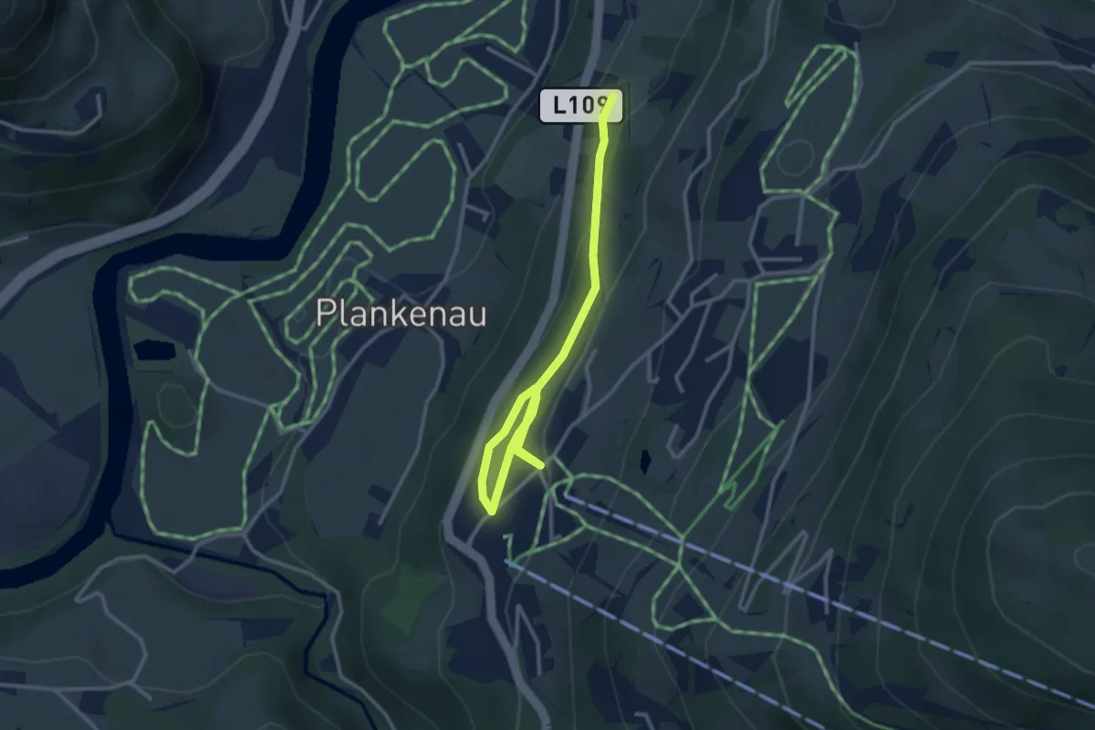
Easy · Trail
Wanderweg 18
3.5 km · ↑ 128 m · 1 h 7 min
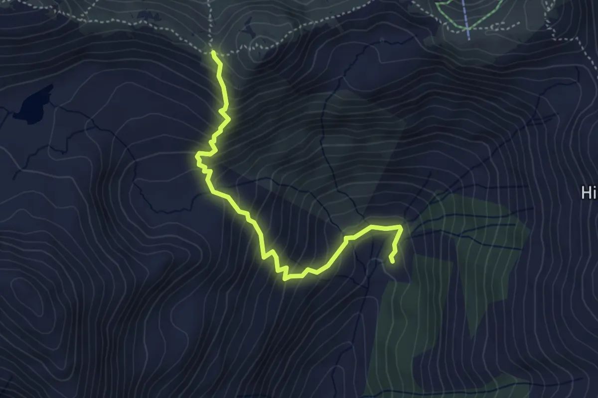
Medium · Trail
Wanderweg 18
4.3 km · ↑ 448 m · 1 h 59 min
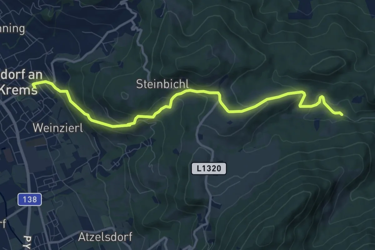
Medium · Trail
Wanderweg 18
10.1 km · ↑ 465 m · 3 h 24 min
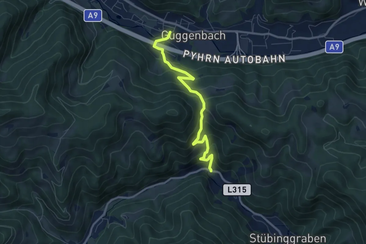
Medium · Trail
Wanderweg 18
6.9 km · ↑ 456 m · 2 h 37 min
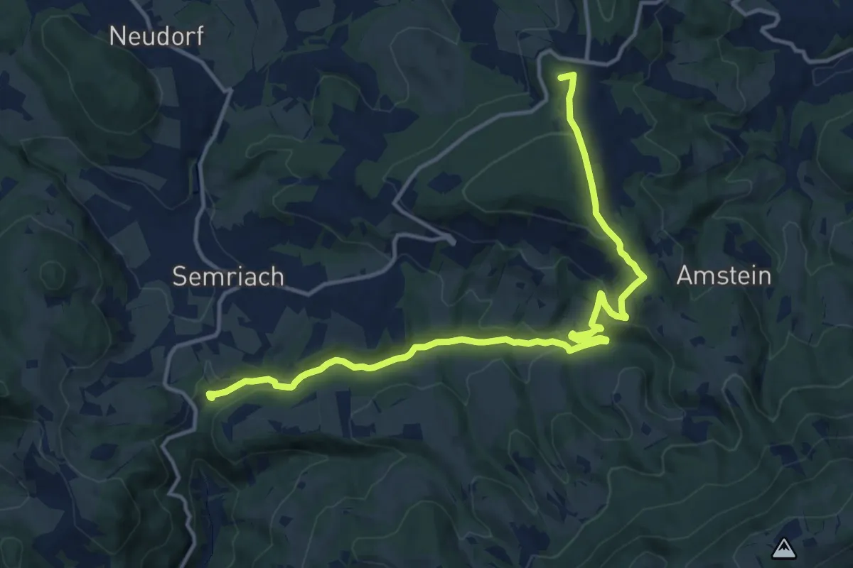
Medium · Summit
Wanderweg 18
14.4 km · ↑ 384 m · 4 h 14 min
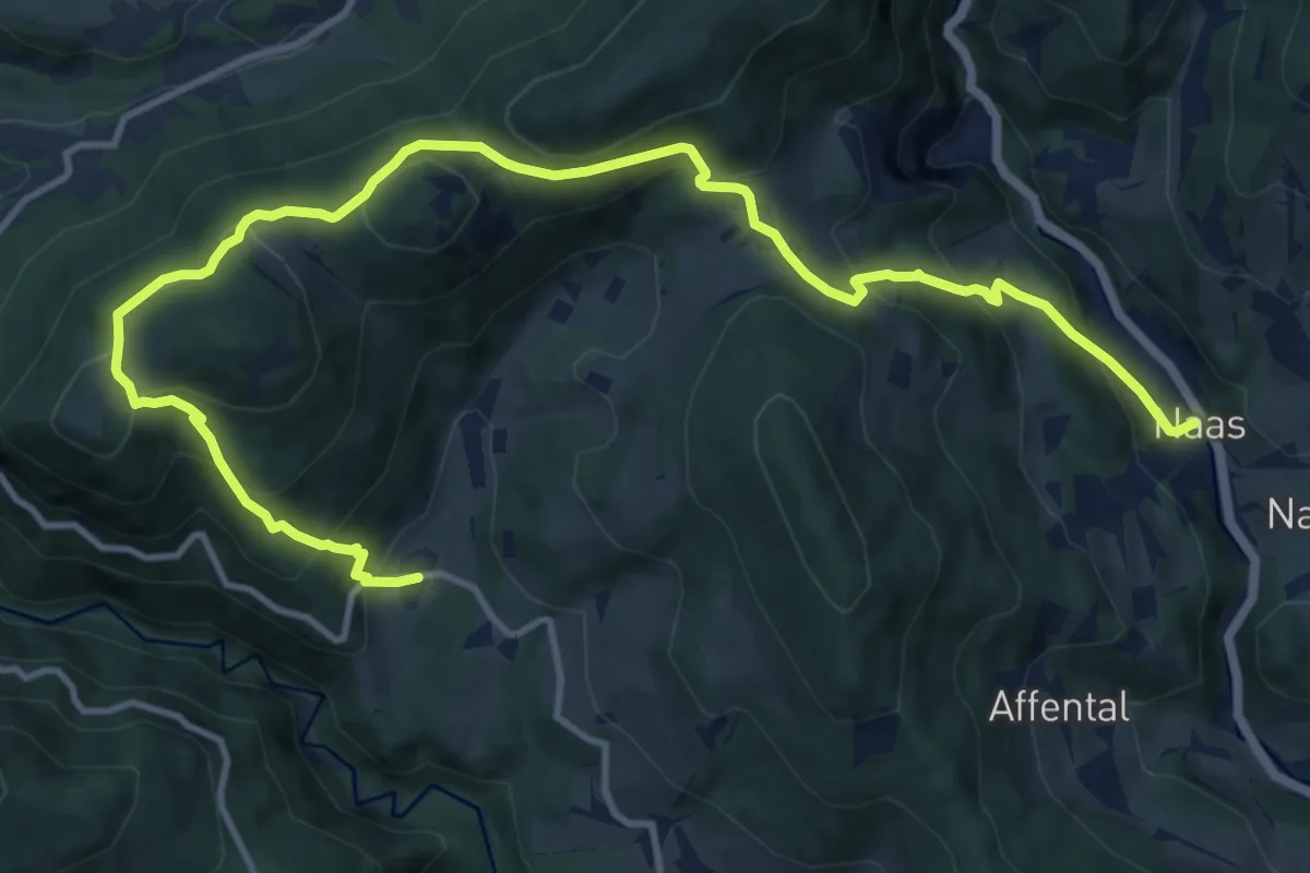
Demanding · Trail
Wanderweg 18
15.5 km · ↑ 884 m · 5 h 34 min
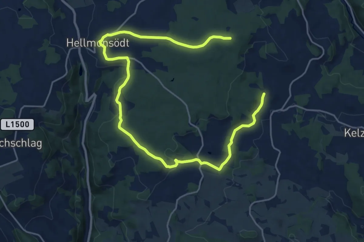
Demanding · Trail
Wanderweg 18
19.9 km · ↑ 296 m · 5 h 20 min
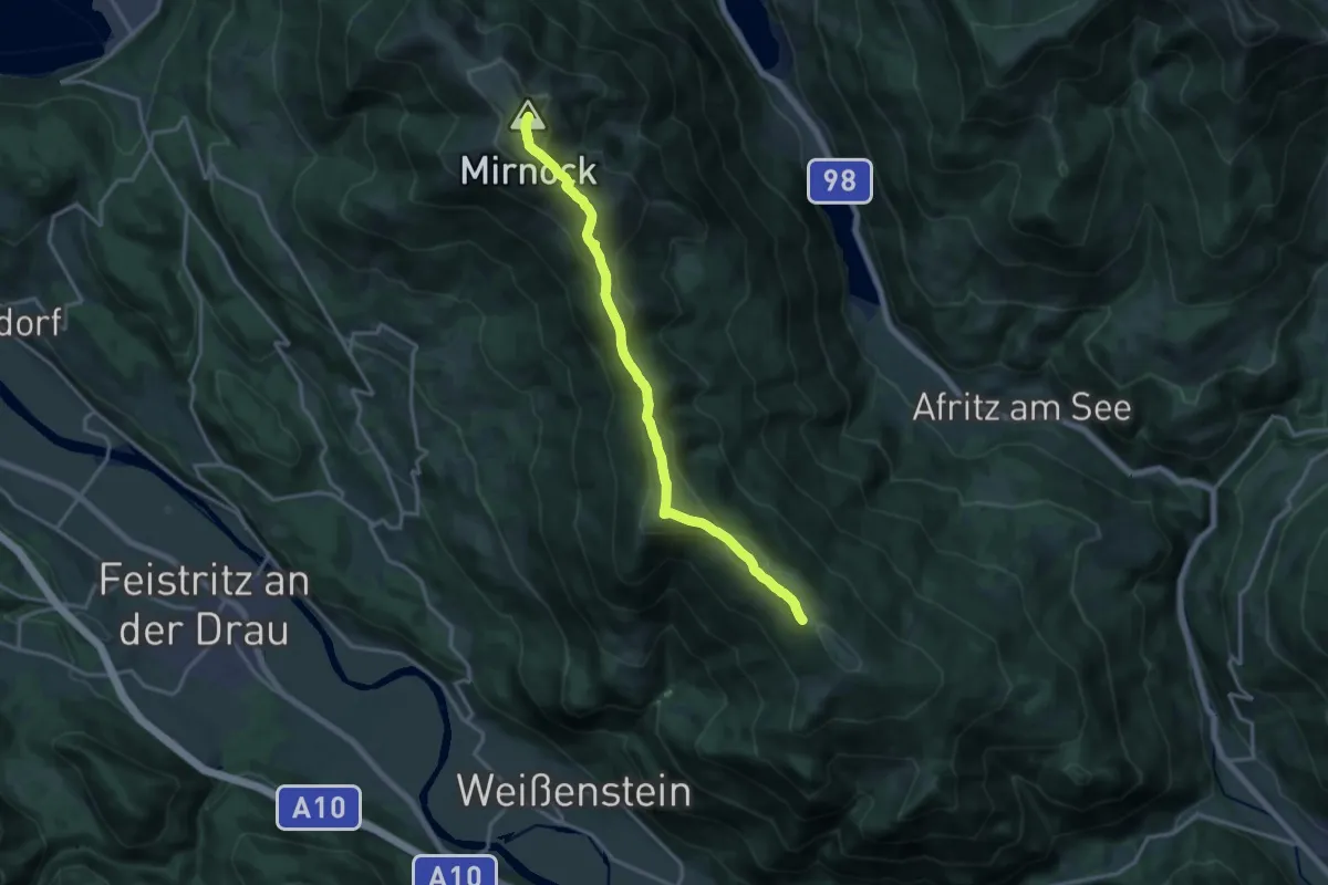
Demanding · Summit
Wanderweg 180 Mirnock - Schwarzsee
16.0 km · ↑ 820 m · 5 h 33 min
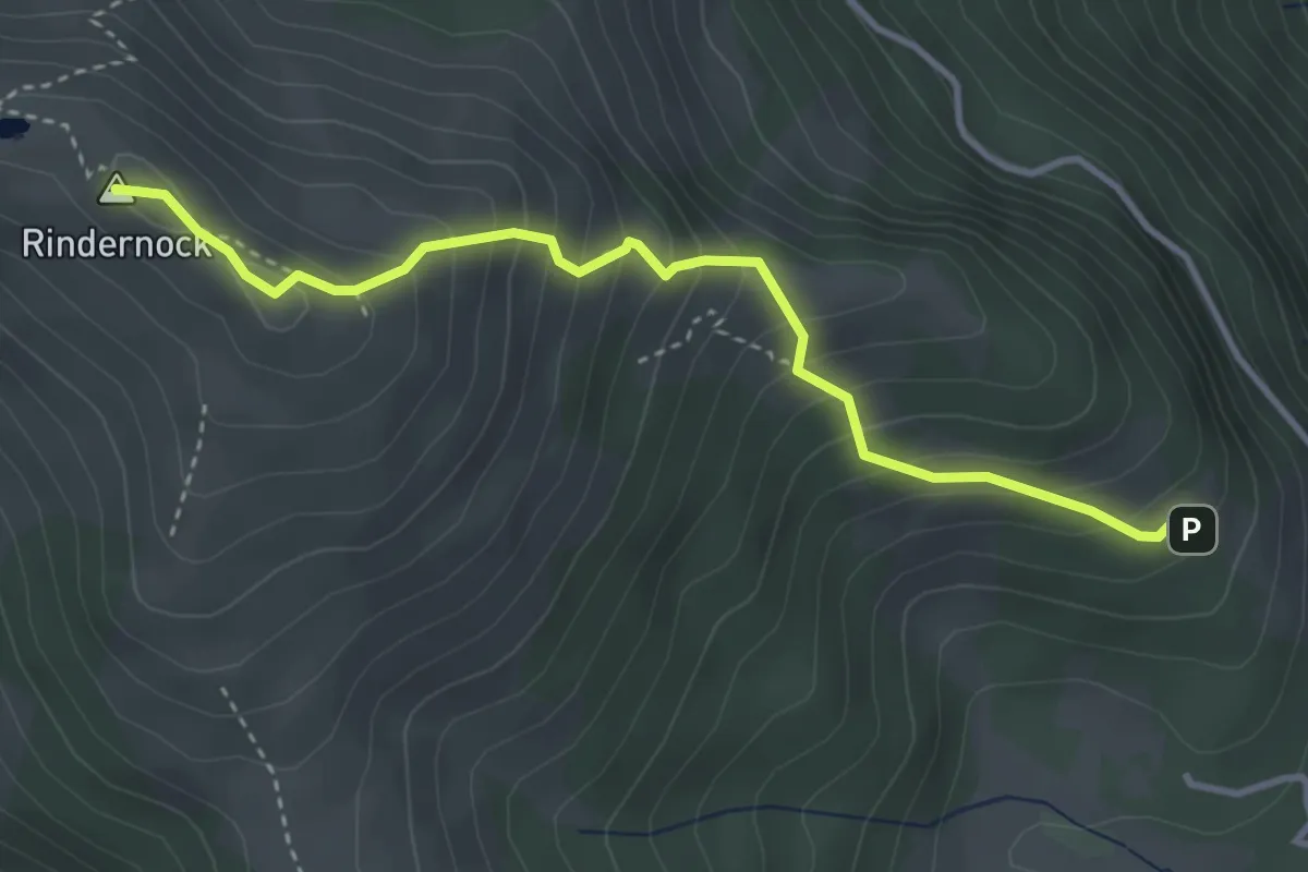
Medium · Summit
Wanderweg 182
3.7 km · ↑ 407 m · 1 h 46 min