Trails in Austria
9,777 hiking trails, each with its route, climb, walking time and grade.
All trails, page 143 of 204
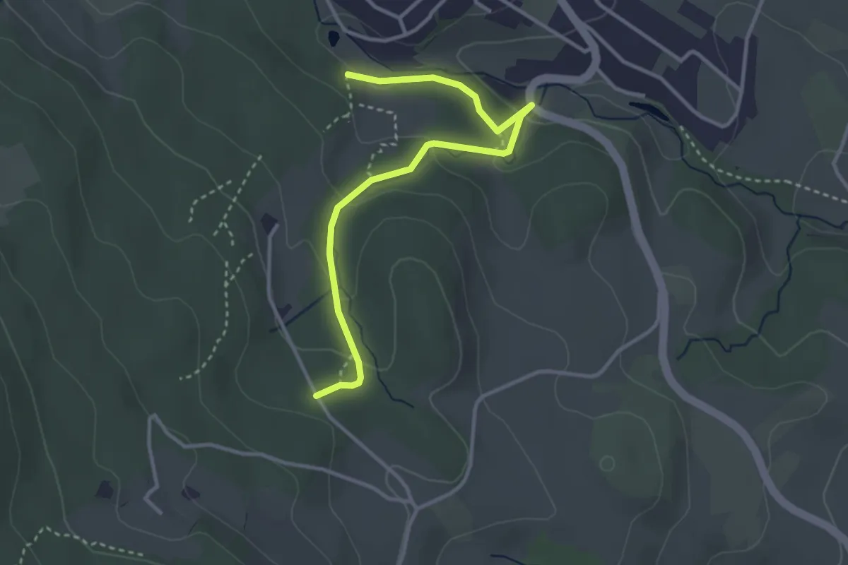
Easy · Trail
Wanderweg 2a
3.5 km · ↑ 143 m · 1 h 8 min
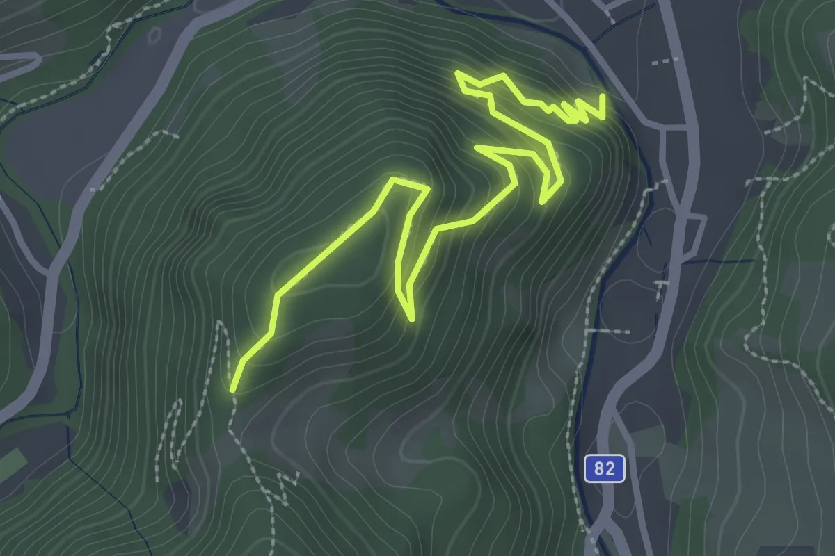
Medium · Trail
Wanderweg 2A
3.5 km · ↑ 238 m · 1 h 21 min
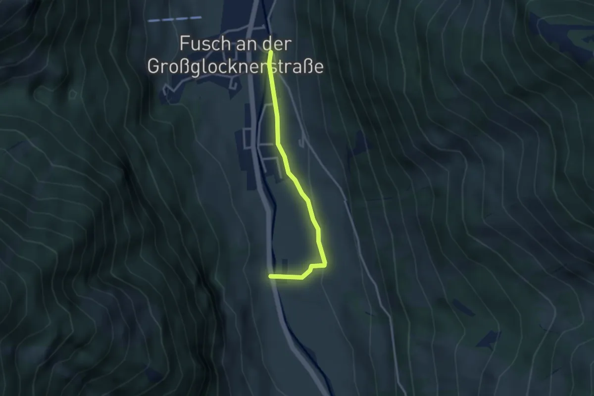
Easy · Trail
Wanderweg 2A
2.6 km · ↑ 48 m · 43 min
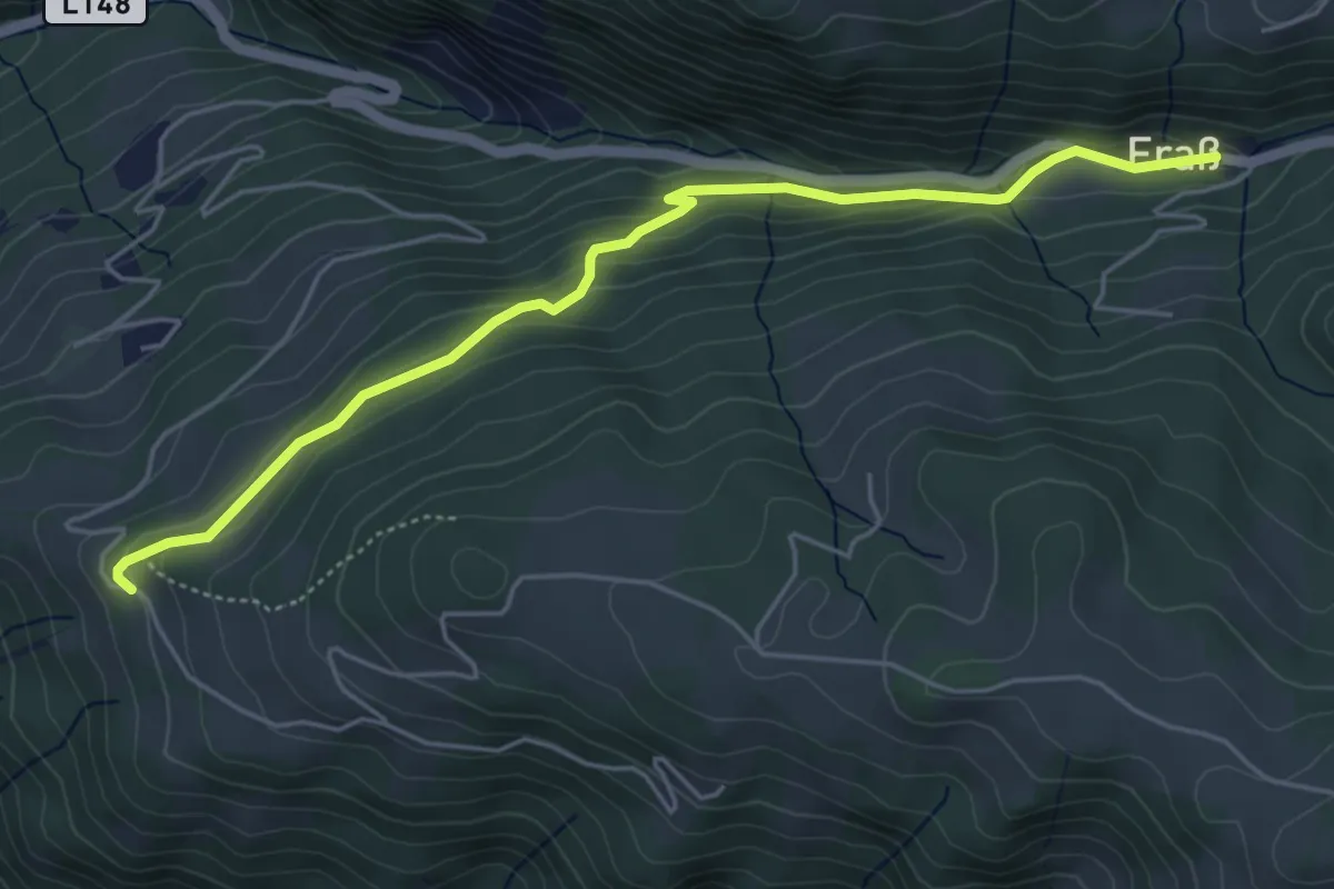
Easy · Trail
Wanderweg 2b
5.2 km · ↑ 167 m · 1 h 35 min
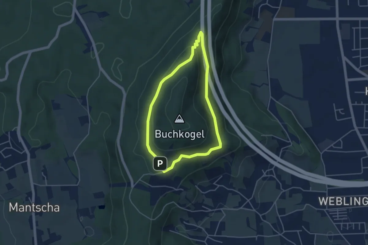
Medium · Trail
Wanderweg 2b
3.4 km · ↑ 103 m · 1 h 5 min
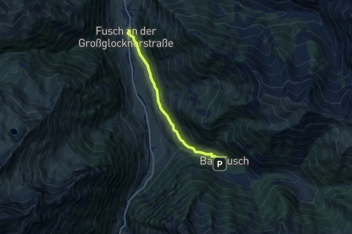
Medium · Trail
Wanderweg 2B
8.5 km · ↑ 376 m · 2 h 49 min
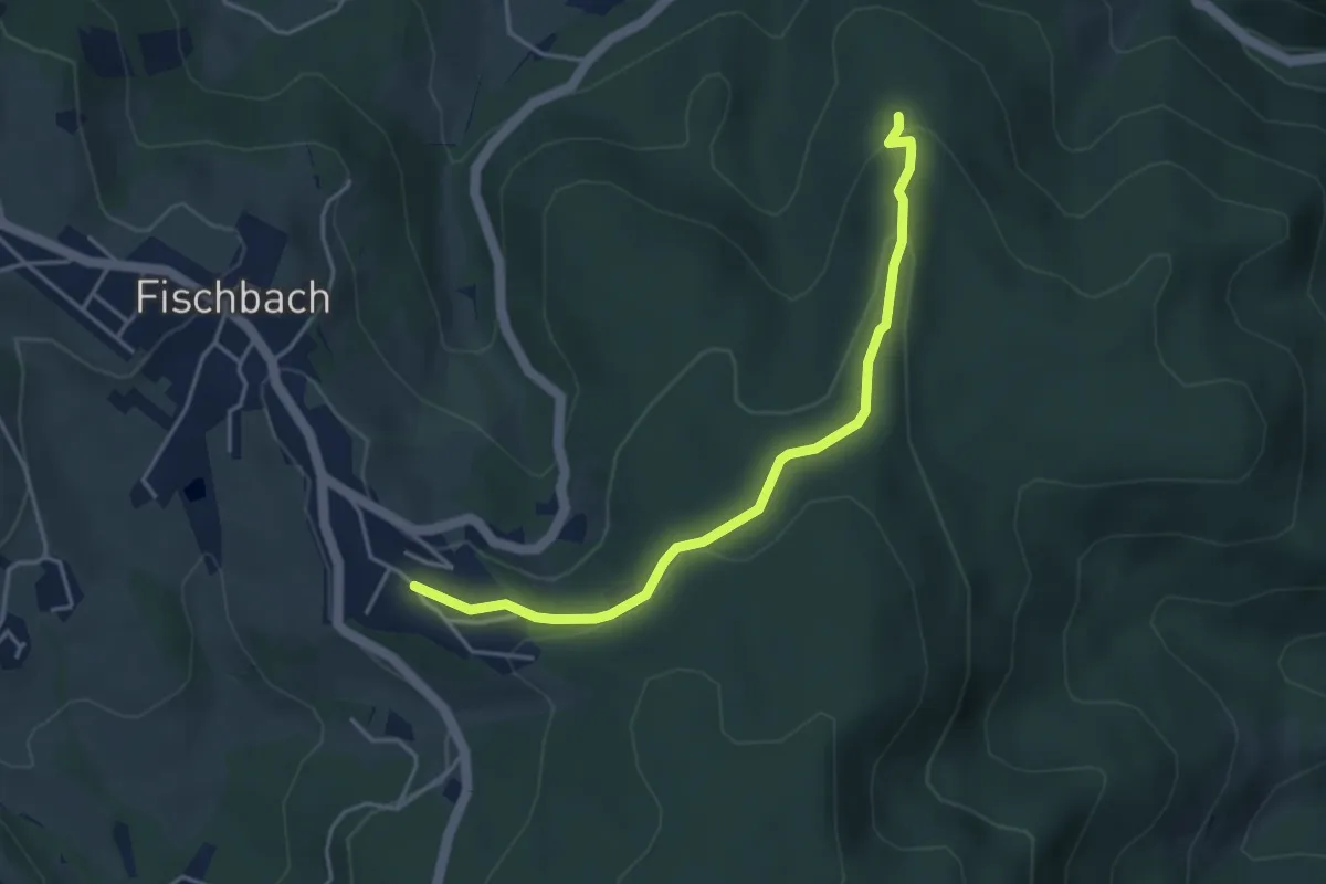
Medium · Trail
Wanderweg 2 - Bildstockpromenade
4.0 km · ↑ 116 m · 1 h 12 min
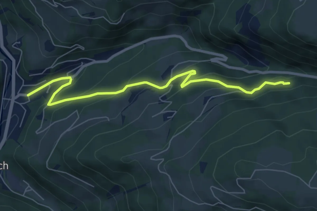
Easy · Trail
Wanderweg 2c
6.4 km · ↑ 317 m · 2 h 12 min
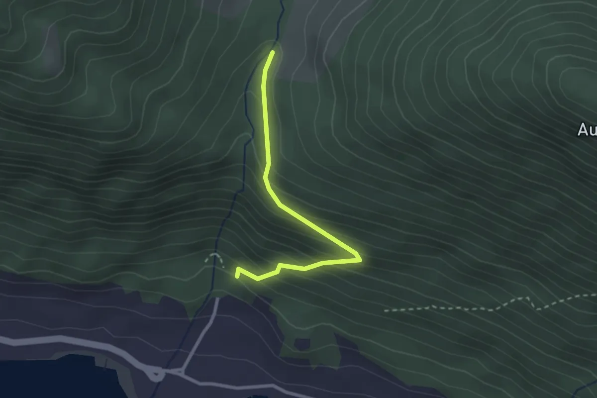
Easy · Trail
Wanderweg 2d
2.4 km · ↑ 230 m · 1 h 4 min
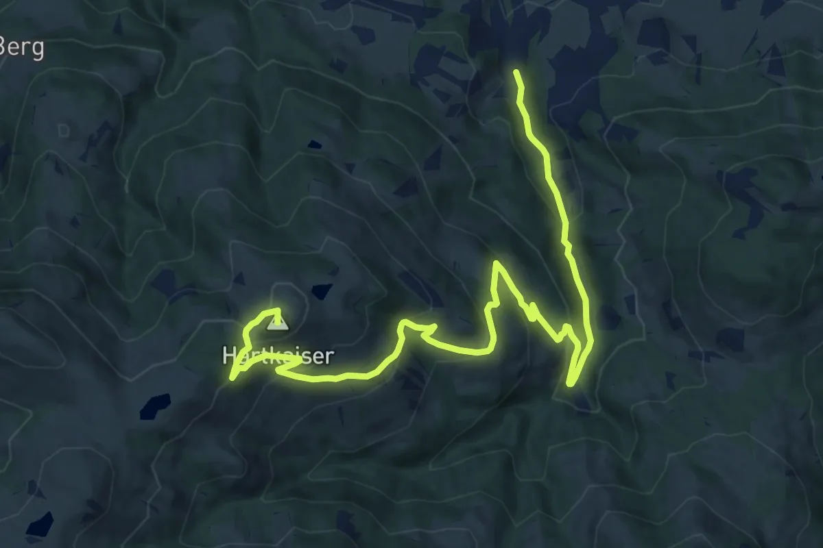
Medium · Summit
Wanderweg 2 - Ellmau
16.0 km · ↑ 732 m · 5 h 21 min
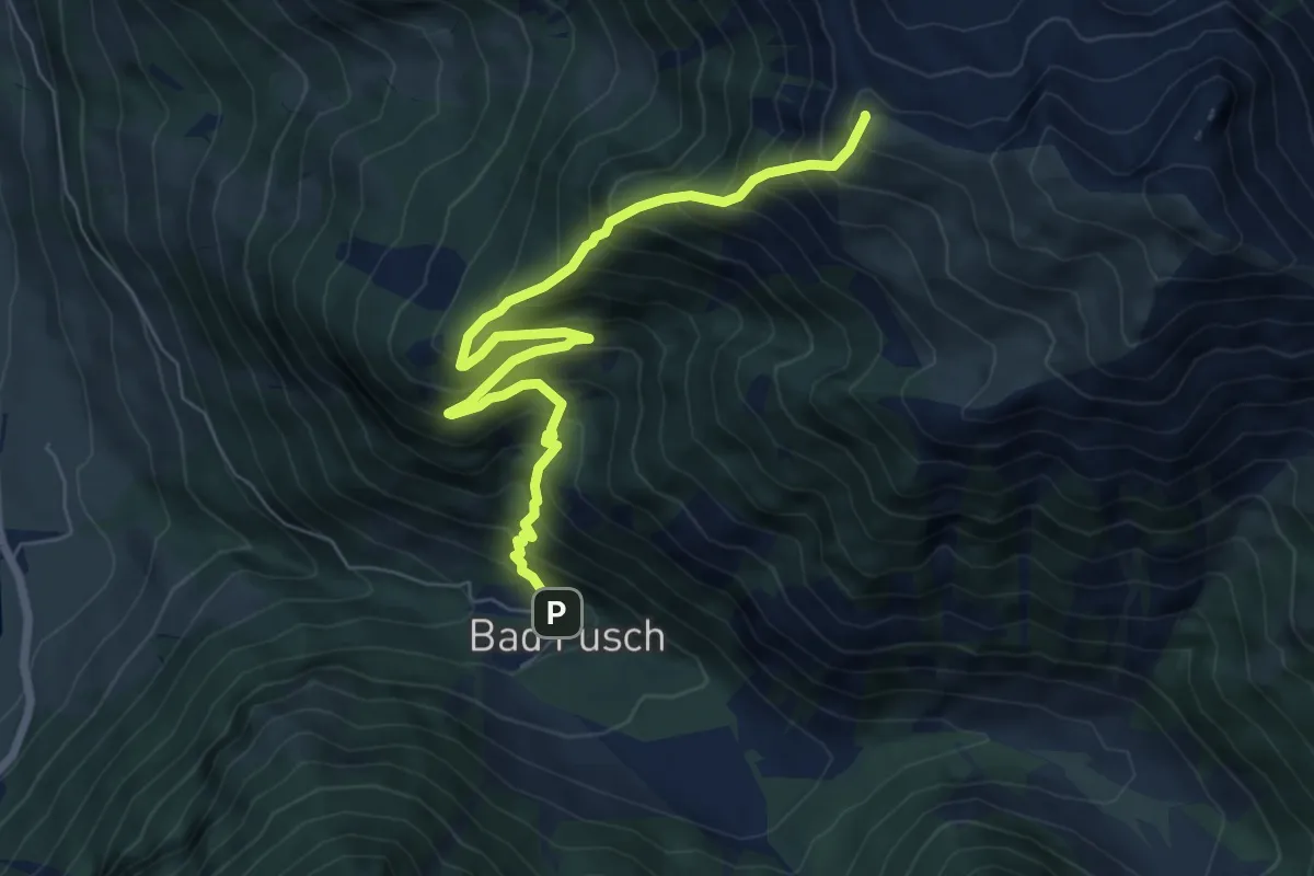
Demanding · Summit
Wanderweg 2F
7.5 km · ↑ 906 m · 3 h 43 min
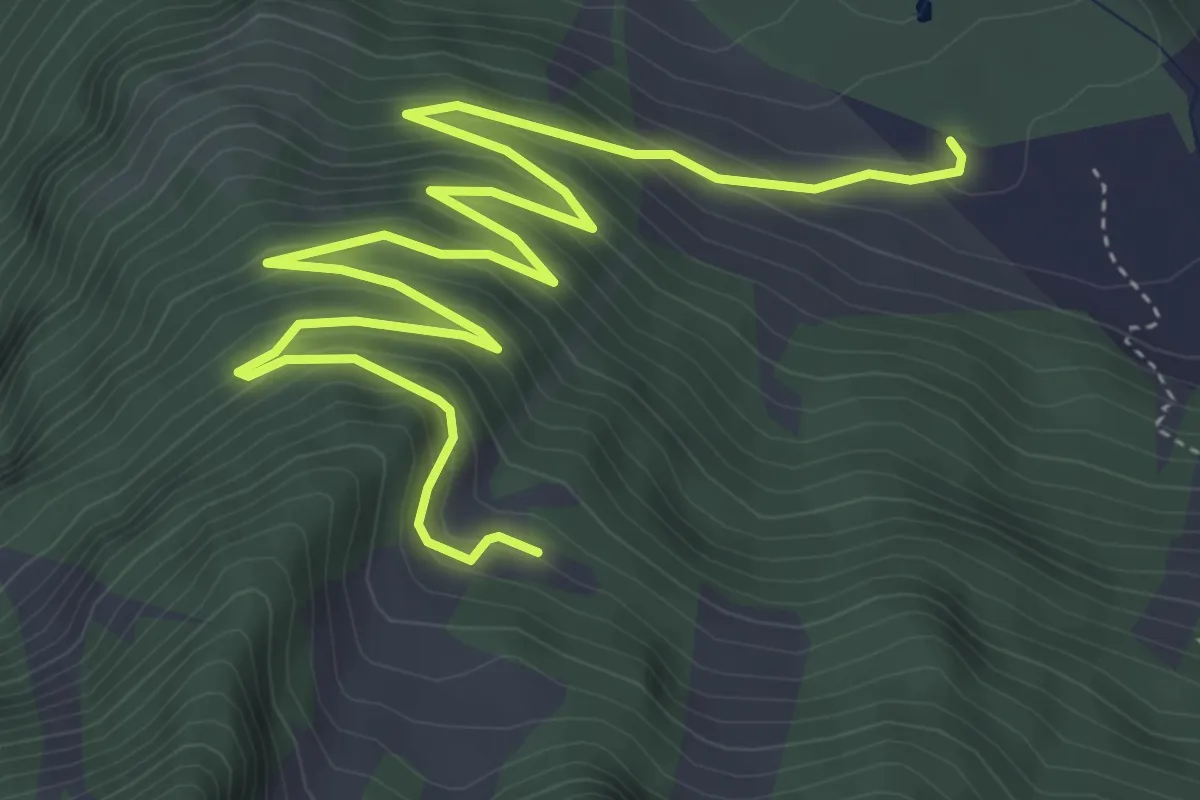
Medium · Trail
Wanderweg 2G
6.9 km · ↑ 397 m · 2 h 29 min
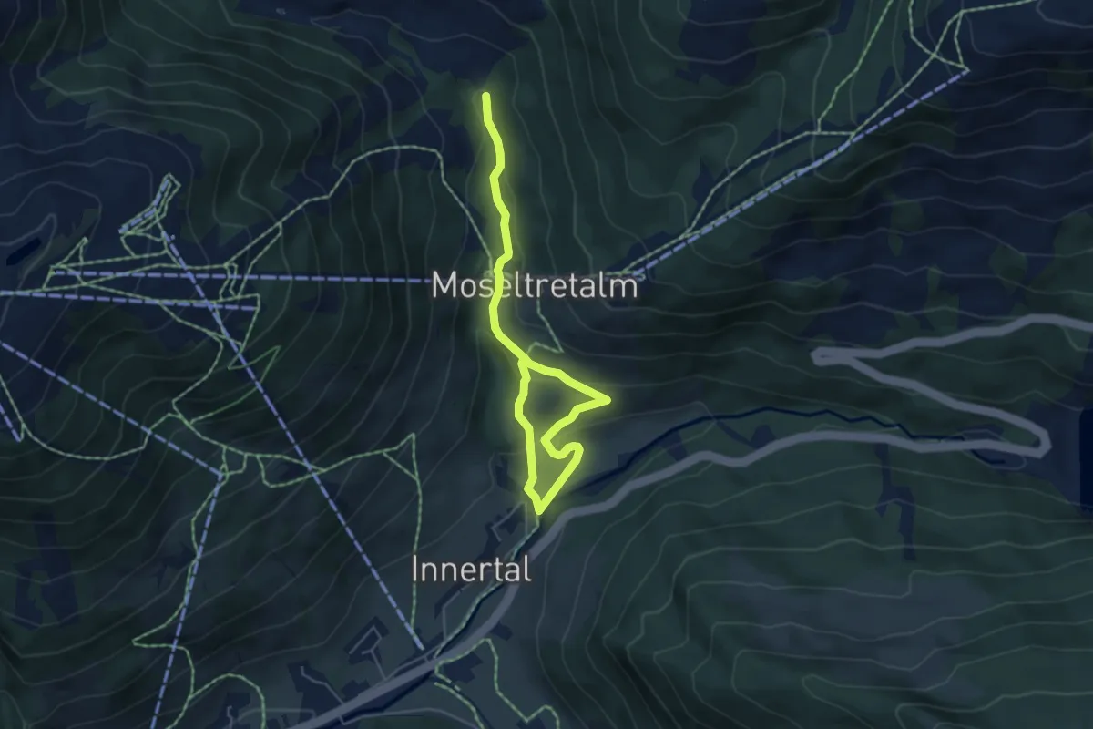
Easy · Trail
Wanderweg 2 - Gerlos
6.0 km · ↑ 239 m · 1 h 56 min
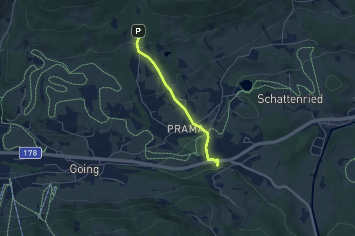
Easy · Trail
Wanderweg 2 - Going
3.5 km · ↑ 126 m · 1 h 5 min
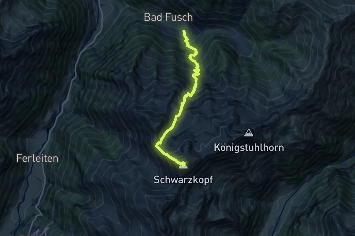
Demanding · Summit
Wanderweg 2H
10.9 km · ↑ 1492 m · 5 h 48 min
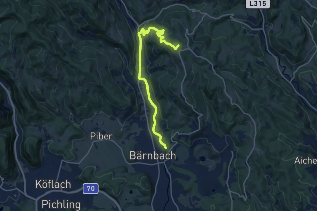
Medium · Summit
Wanderweg 2 "Hochtregist Rundweg"
11.8 km · ↑ 342 m · 3 h 42 min
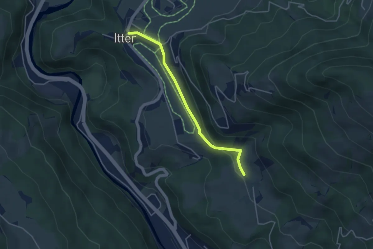
Easy · Trail
Wanderweg 2 - Itter
3.2 km · ↑ 51 m · 51 min
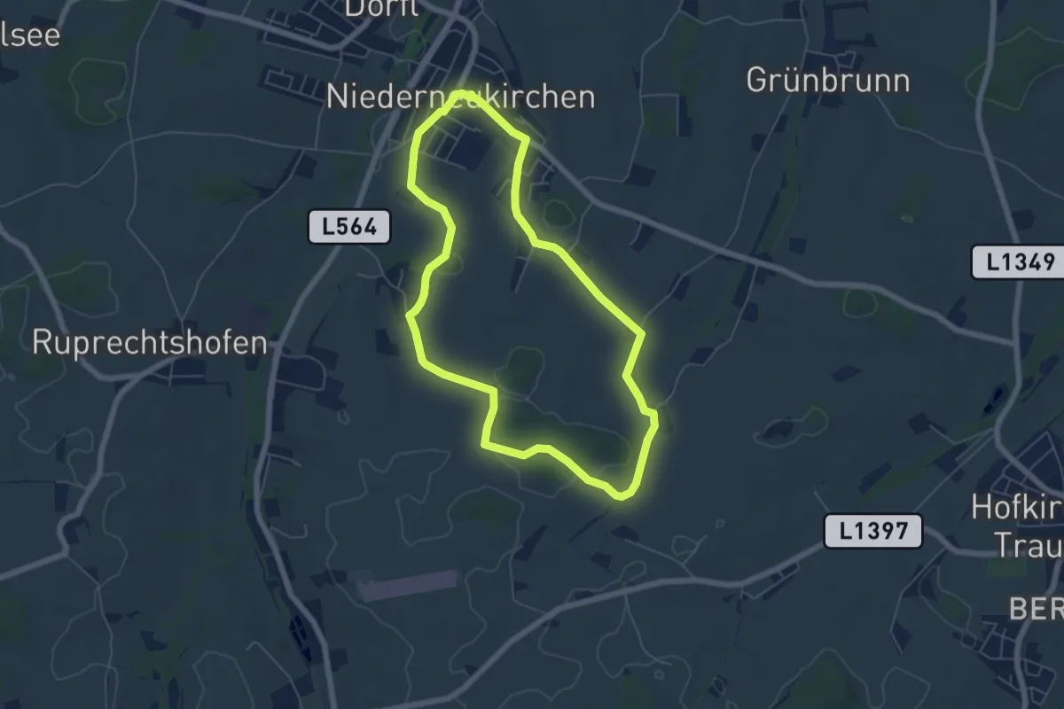
Easy · Trail
Wanderweg 2 Kühholz
5.4 km · ↑ 55 m · 1 h 29 min
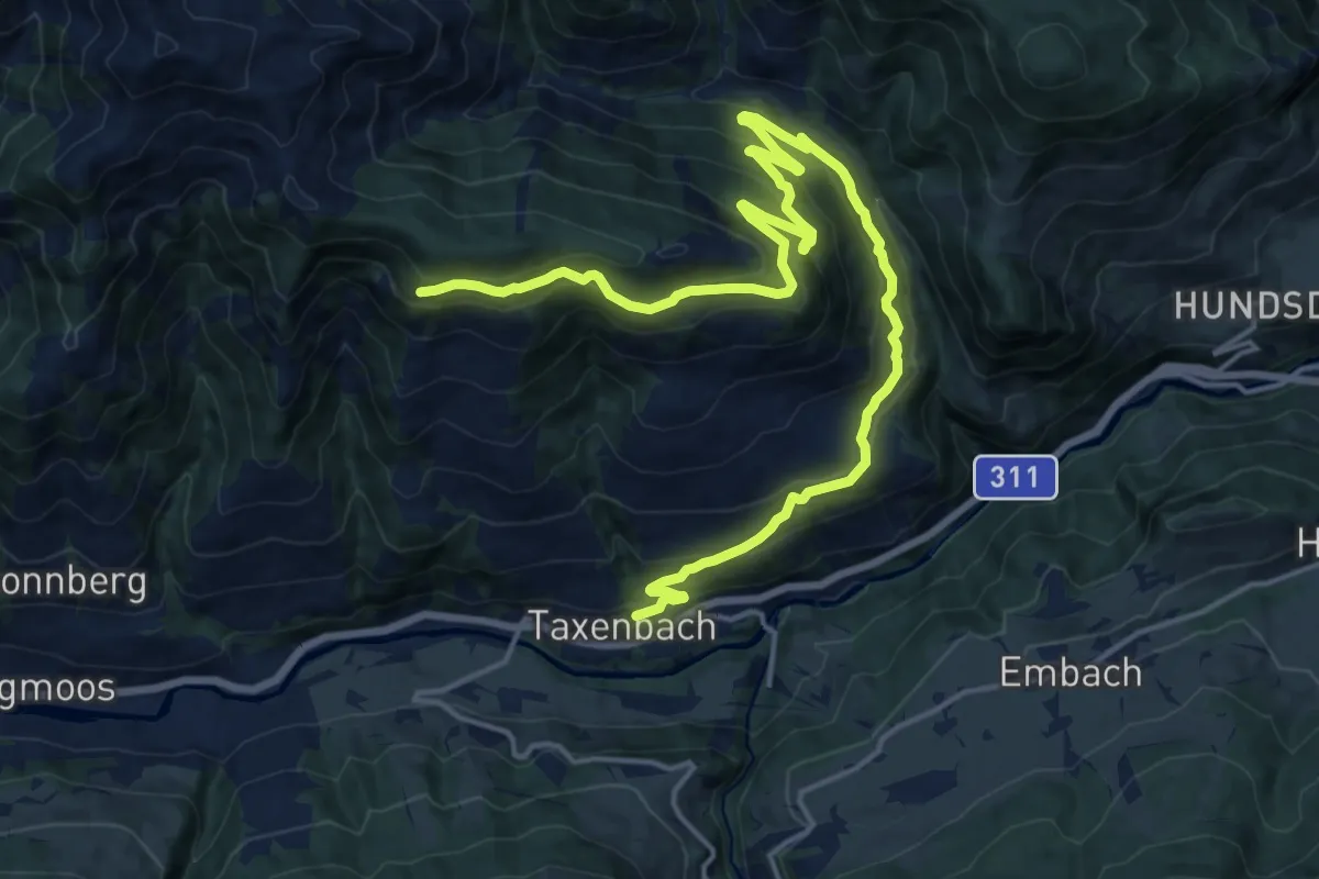
Demanding · Trail
Wanderweg 2 (Obere Gschwandtnerberg Runde)
21.4 km · ↑ 842 m · 6 h 53 min
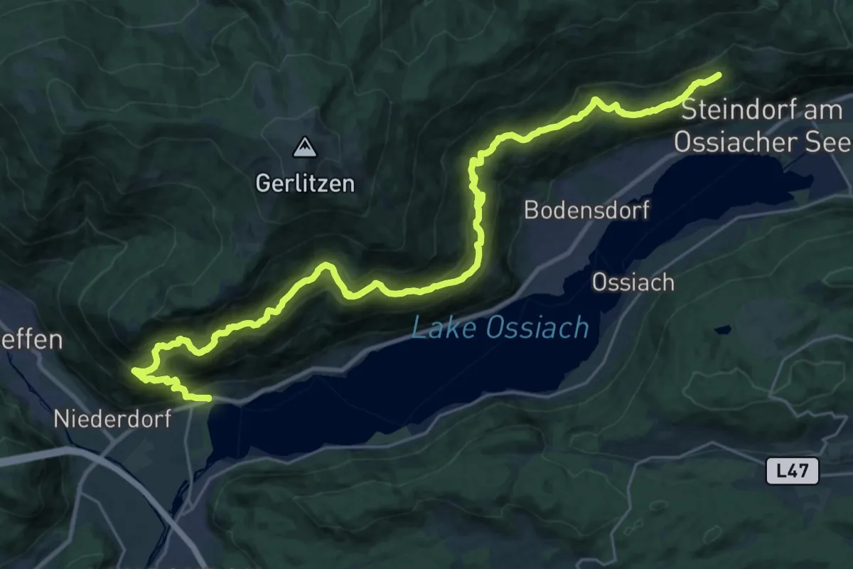
Demanding · Trail
Wanderweg 3
16.0 km · ↑ 1014 m · 6 h 1 min
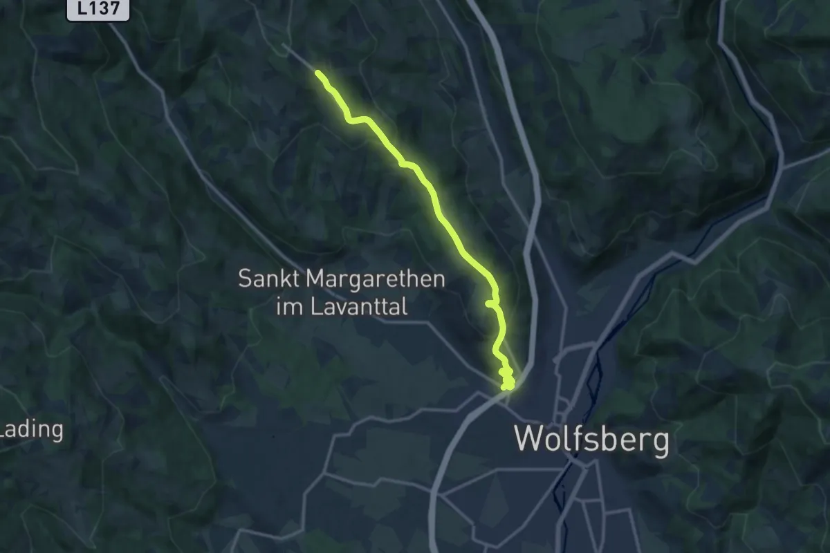
Demanding · Trail
Wanderweg 3
20.6 km · ↑ 855 m · 6 h 43 min
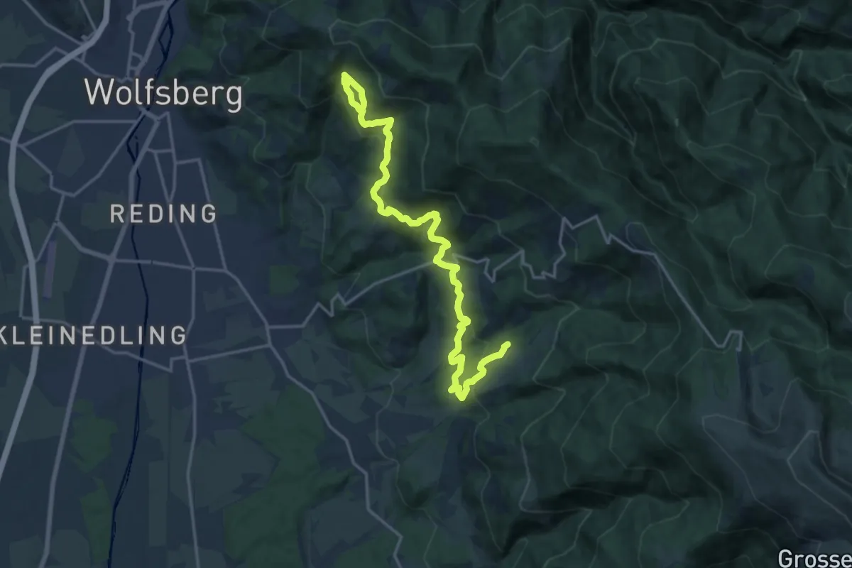
Medium · Trail
Wanderweg 3
17.8 km · ↑ 696 m · 5 h 42 min
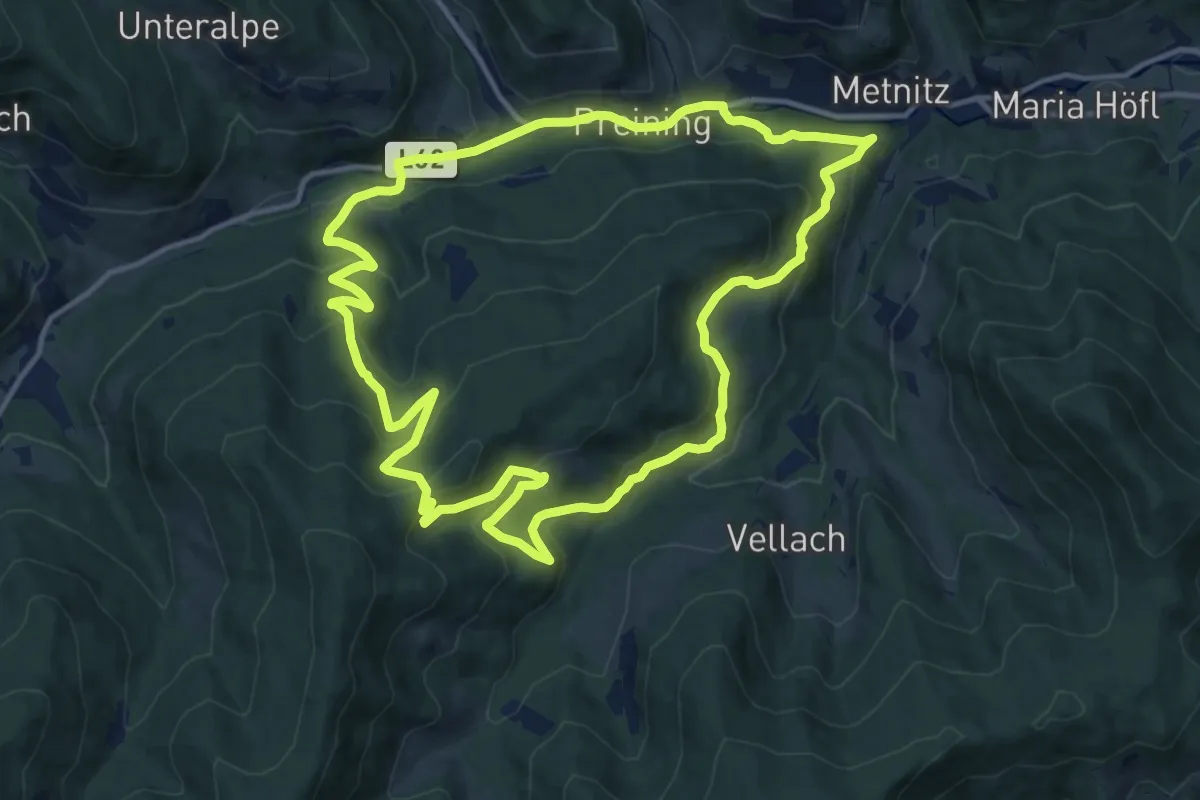
Medium · Summit
Wanderweg 3
13.2 km · ↑ 538 m · 4 h 29 min
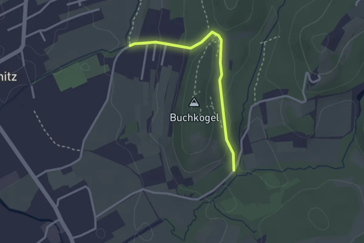
Easy · Trail
Wanderweg 3
2.2 km · ↑ 82 m · 42 min
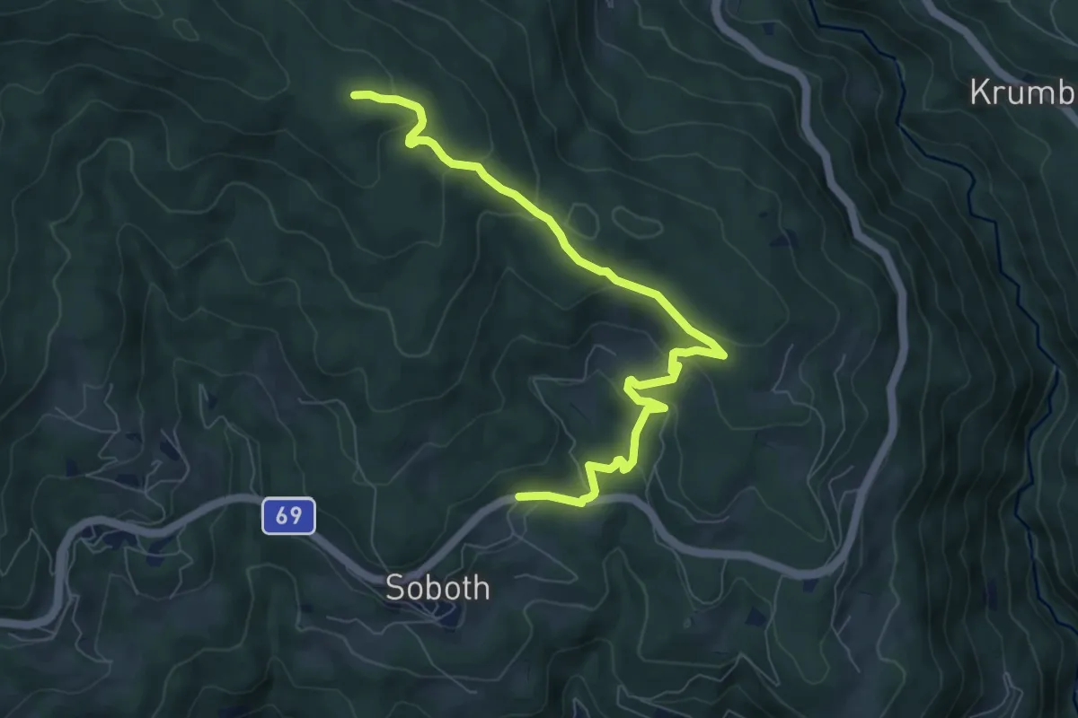
Medium · Trail
Wanderweg 3
8.4 km · ↑ 374 m · 2 h 48 min
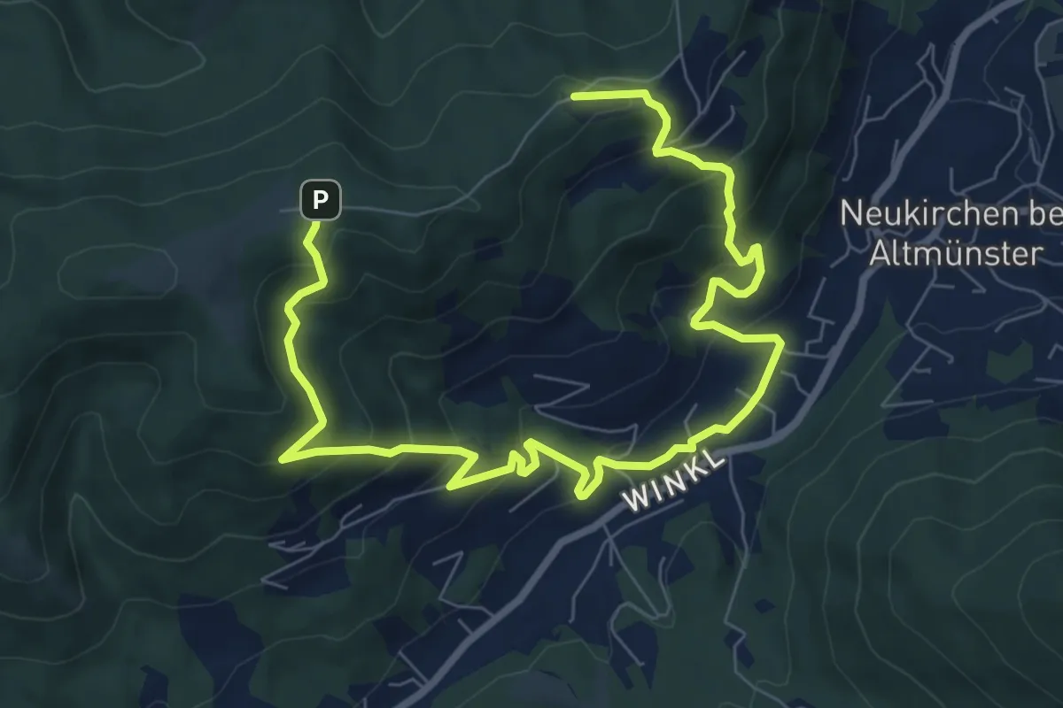
Medium · Trail
Wanderweg 3
10.5 km · ↑ 634 m · 3 h 51 min
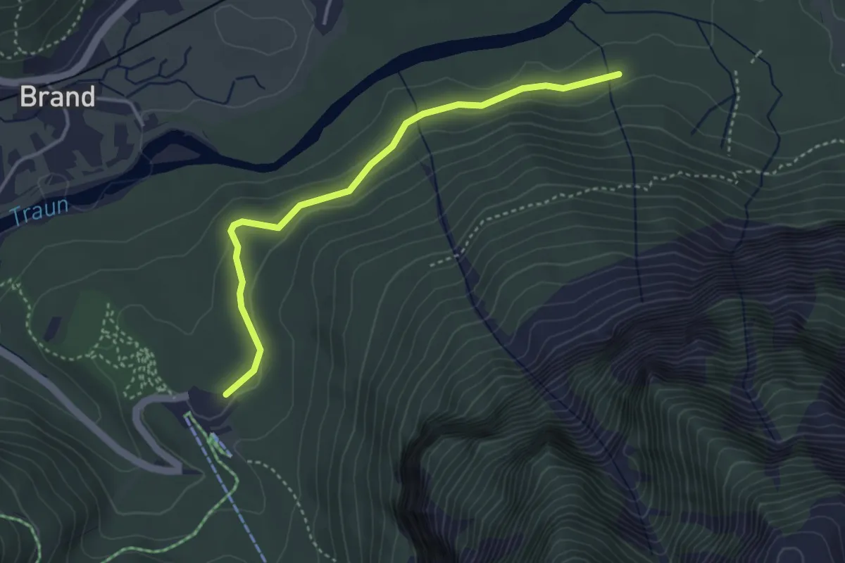
Easy · Trail
Wanderweg 3
3.6 km · ↑ 51 m · 57 min
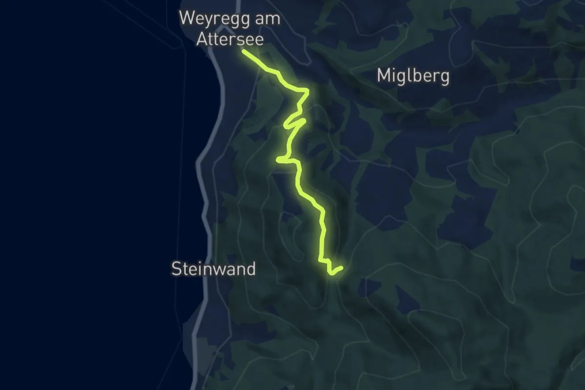
Easy · Trail
Wanderweg 3
7.0 km · ↑ 315 m · 2 h 20 min
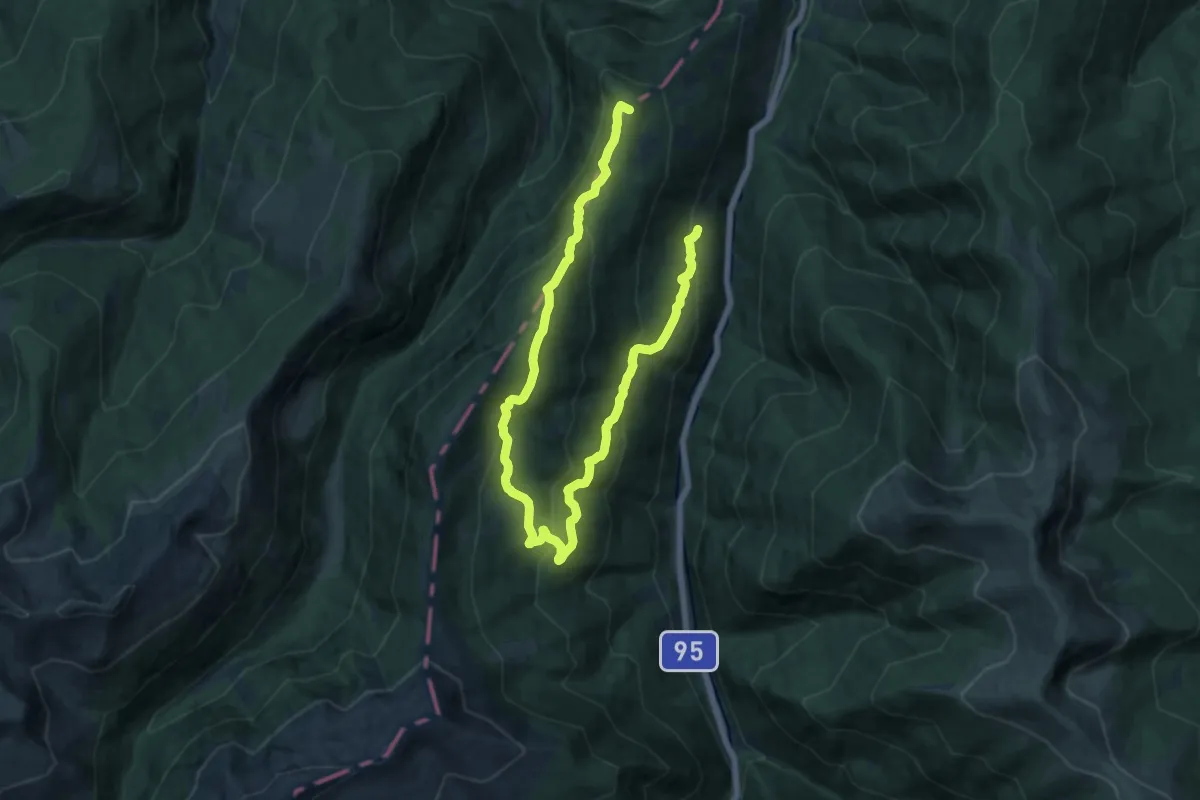
Demanding · Summit
Wanderweg 3
21.1 km · ↑ 966 m · 7 h 4 min
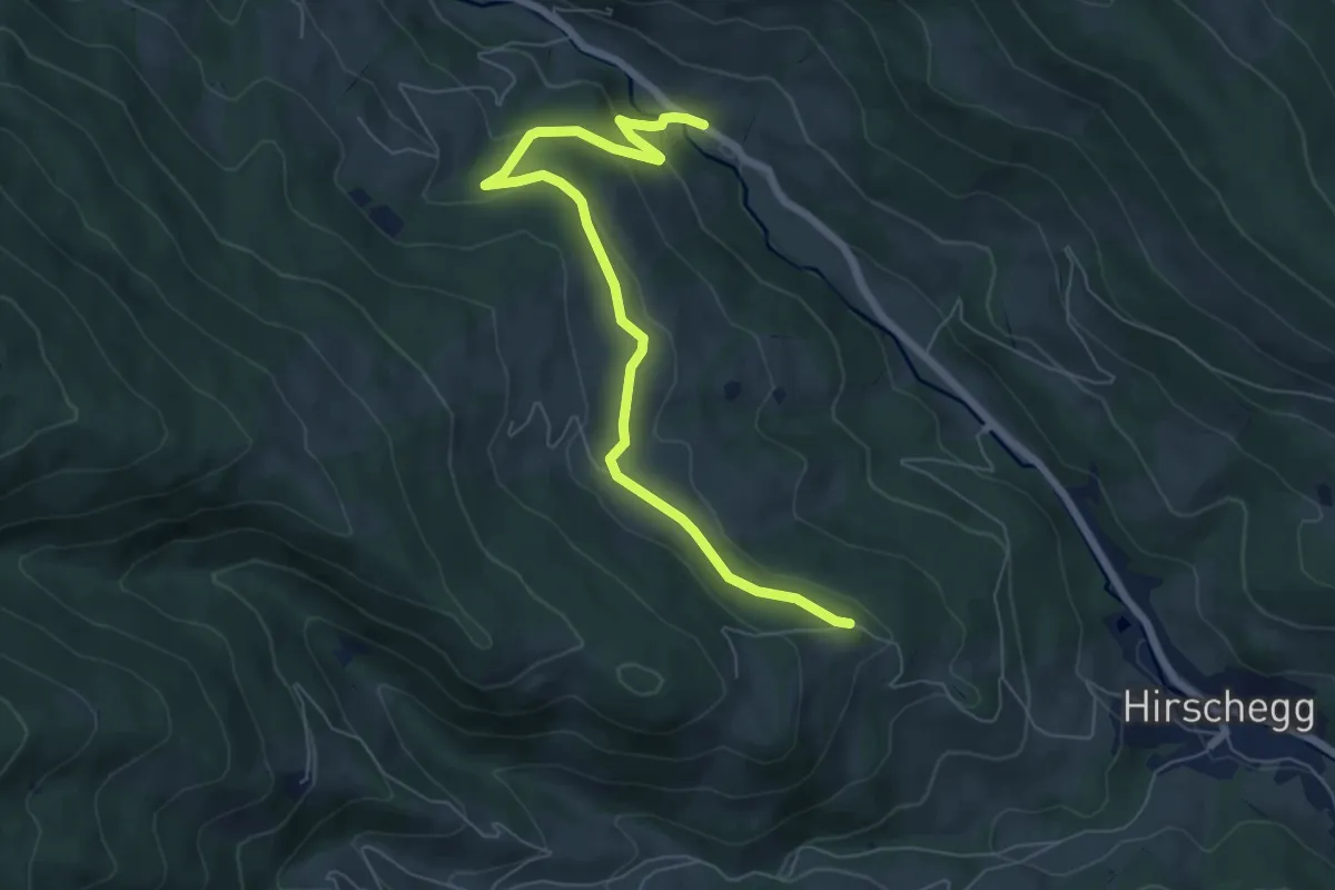
Easy · Trail
Wanderweg 3
7.2 km · ↑ 203 m · 2 h 8 min
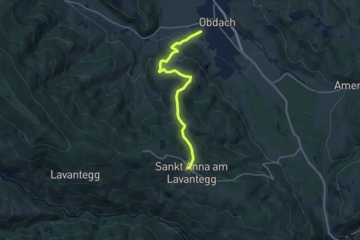
Medium · Trail
Wanderweg 3
9.2 km · ↑ 423 m · 3 h 5 min
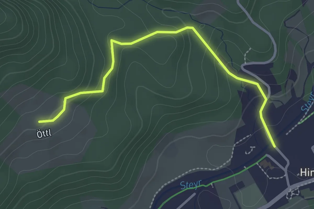
Easy · Trail
Wanderweg 3
2.8 km · ↑ 112 m · 54 min
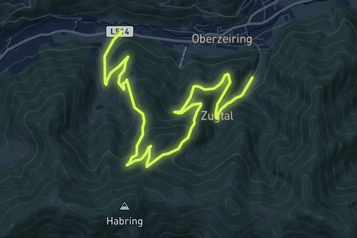
Medium · Trail
Wanderweg 3
13.7 km · ↑ 729 m · 4 h 49 min
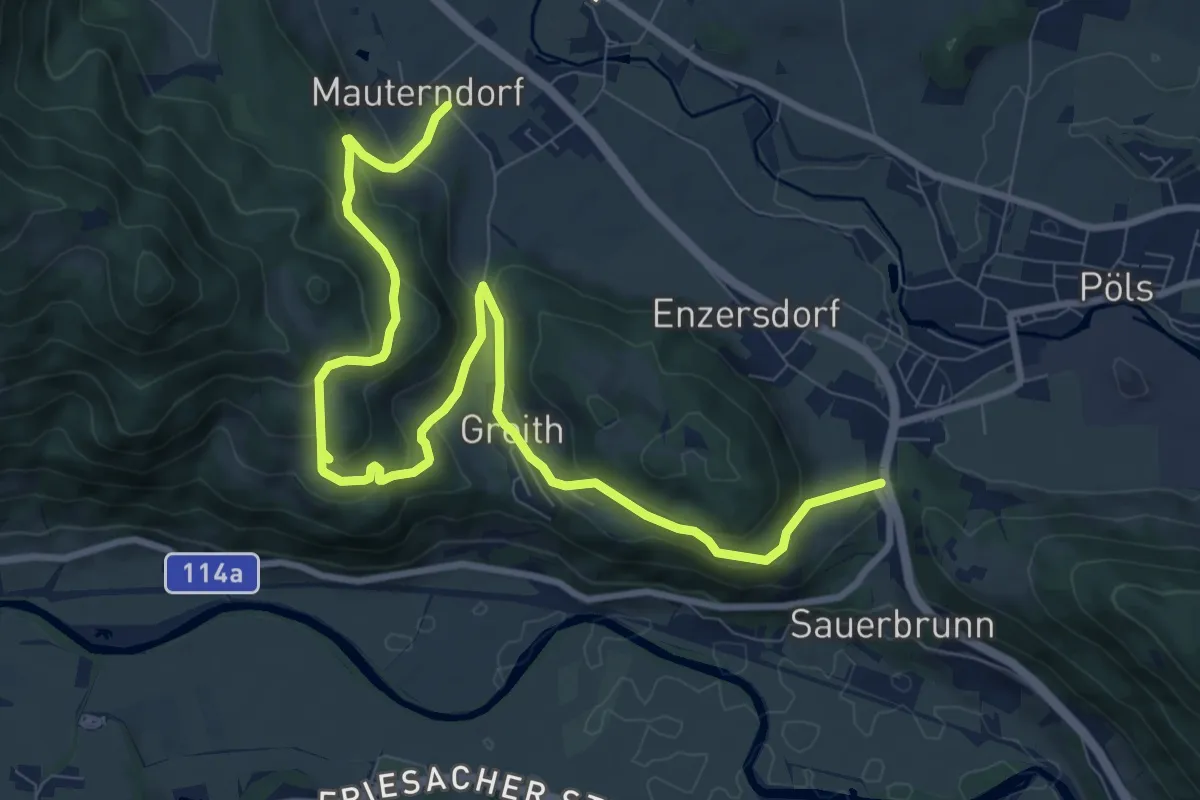
Medium · Trail
Wanderweg 3
11.7 km · ↑ 425 m · 3 h 41 min
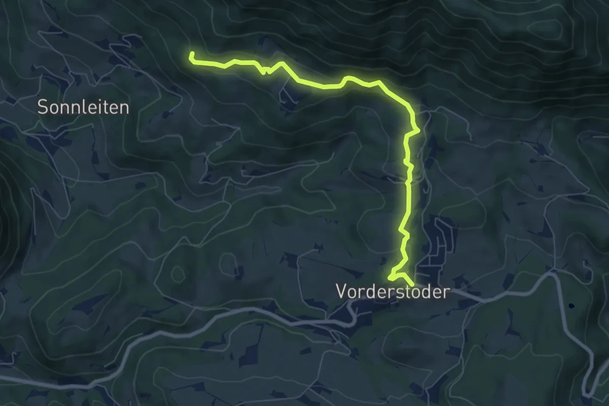
Easy · Trail
Wanderweg 3
7.2 km · ↑ 238 m · 2 h 13 min
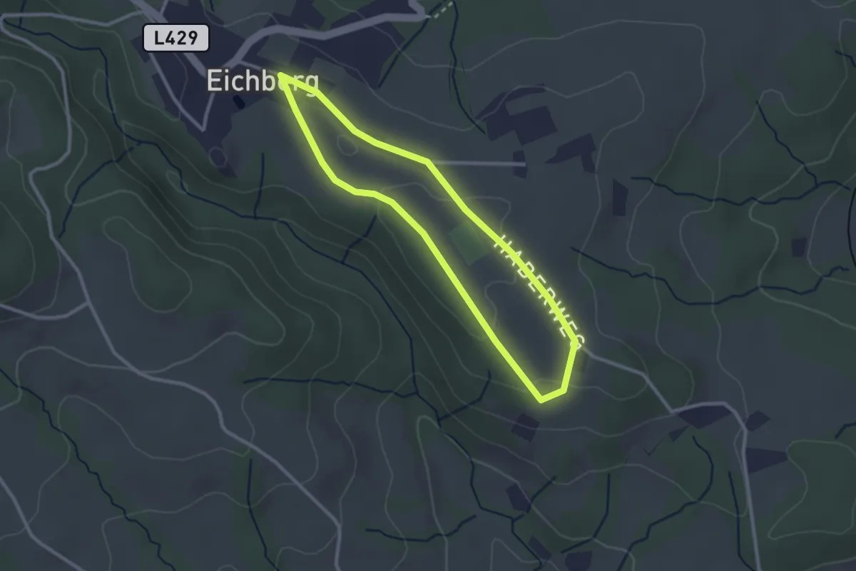
Easy · Trail
Wanderweg 3
2.4 km · ↑ 35 m · 41 min
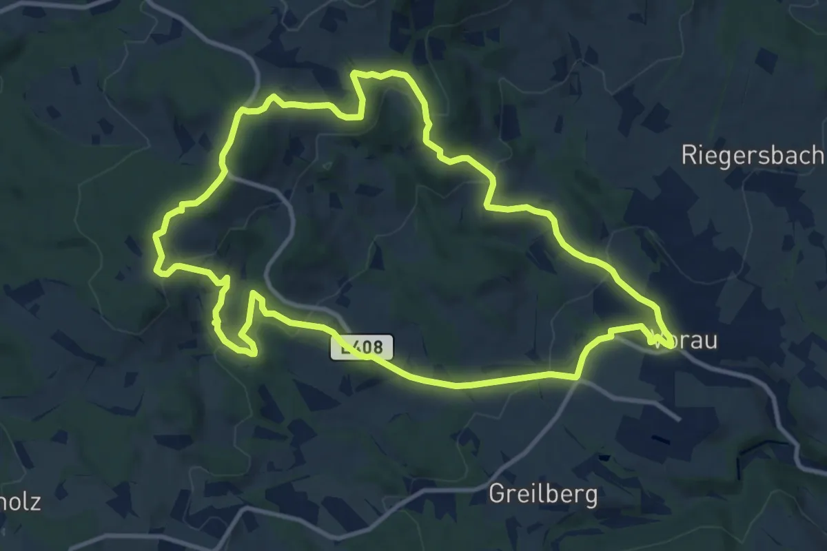
Medium · Trail
Wanderweg 3
10.9 km · ↑ 372 m · 3 h 31 min
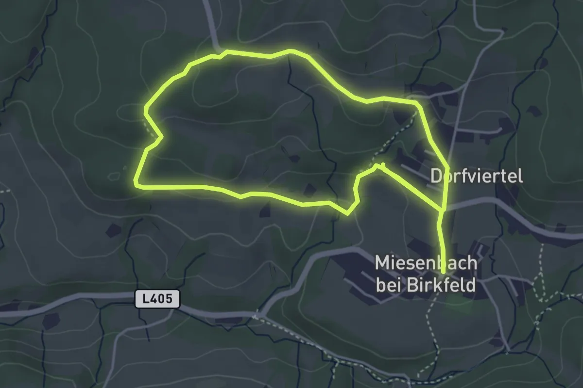
Easy · Trail
Wanderweg 3
7.8 km · ↑ 196 m · 2 h 15 min
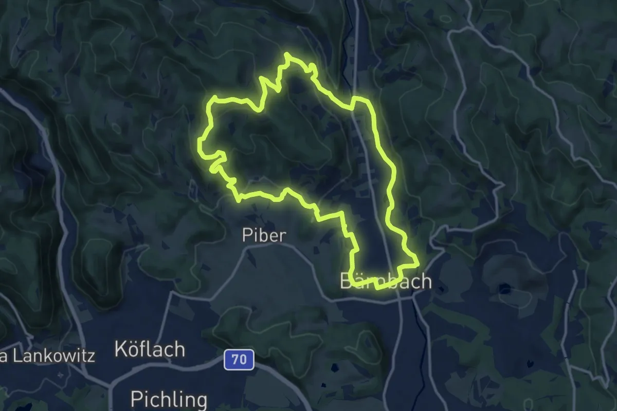
Medium · Trail
Wanderweg 3
12.5 km · ↑ 346 m · 3 h 53 min
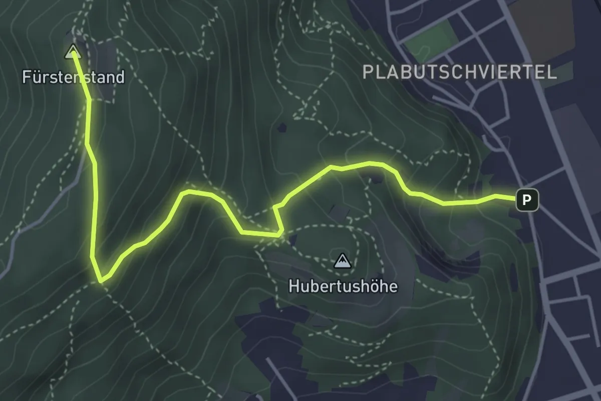
Medium · Summit
Wanderweg 3
4.6 km · ↑ 374 m · 1 h 54 min
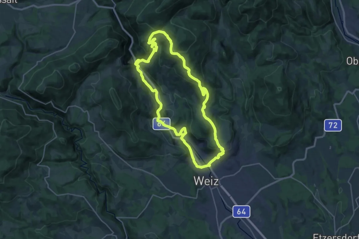
Demanding · Trail
Wanderweg 3
18.1 km · ↑ 647 m · 5 h 55 min
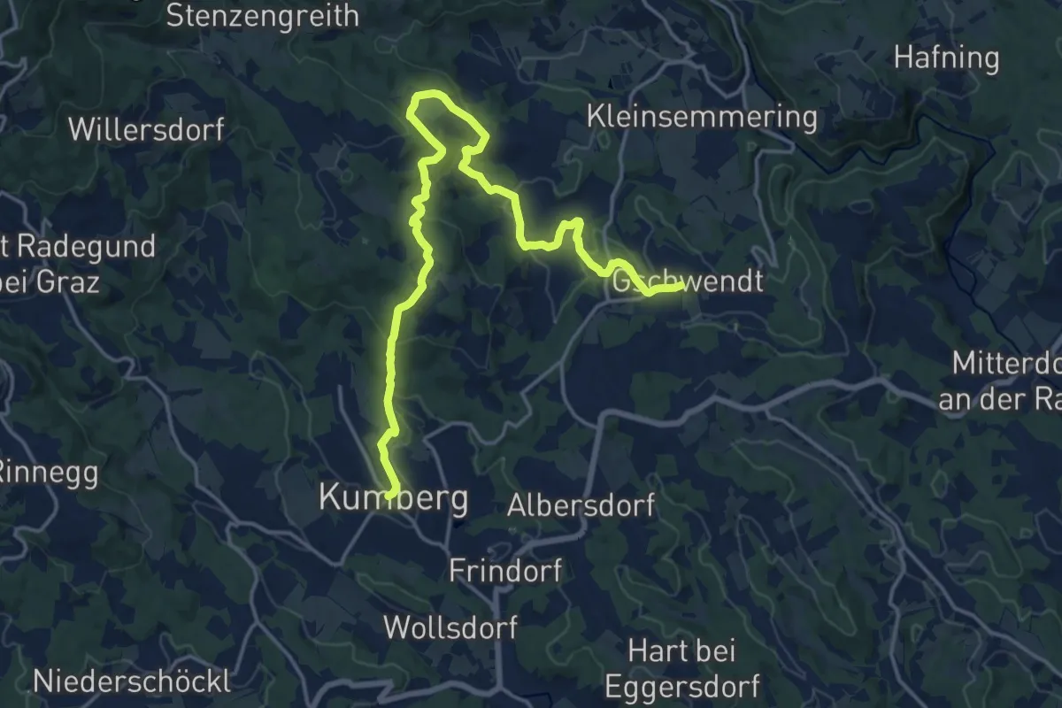
Demanding · Trail
Wanderweg 3
18.9 km · ↑ 655 m · 5 h 53 min
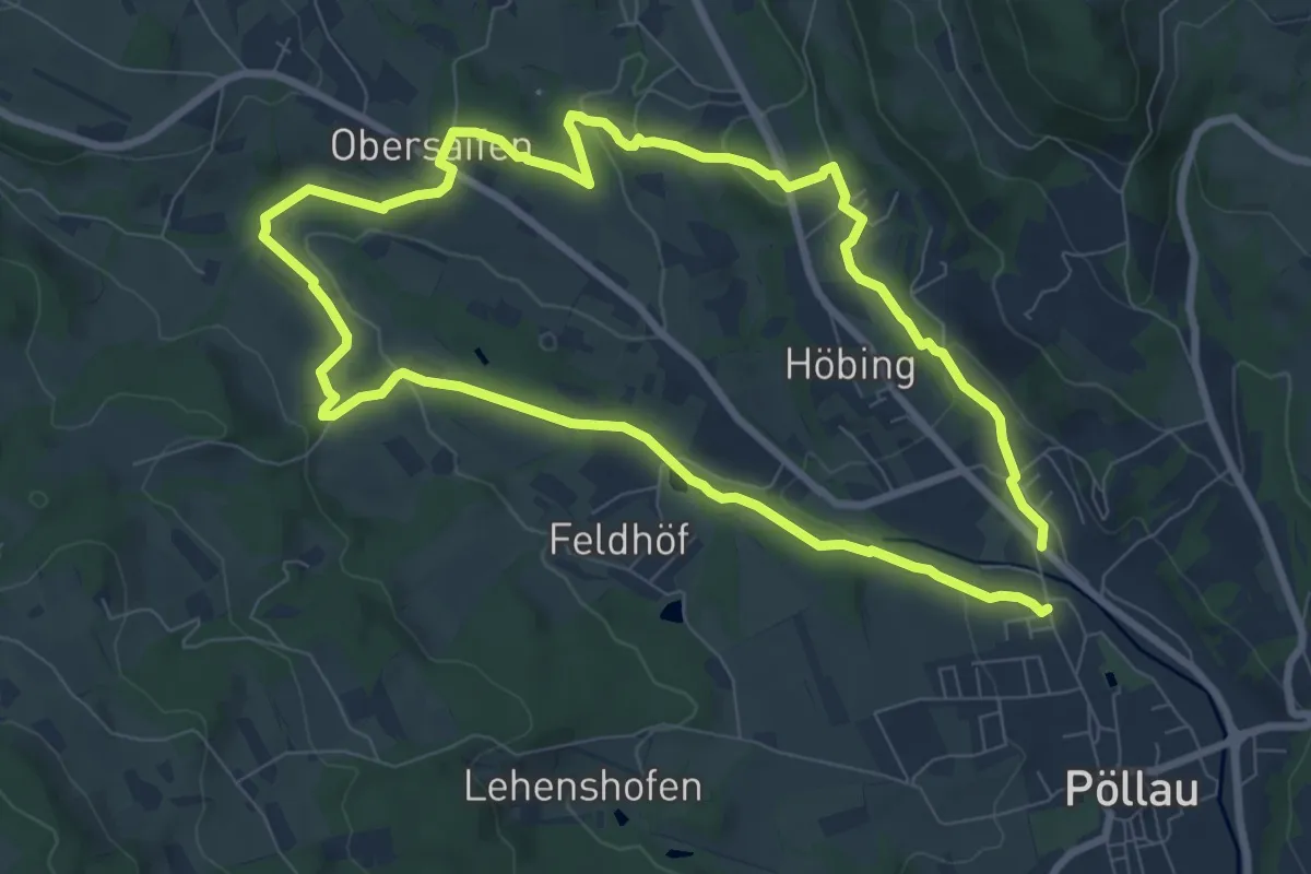
Easy · Trail
Wanderweg 3
7.7 km · ↑ 139 m · 2 h 14 min
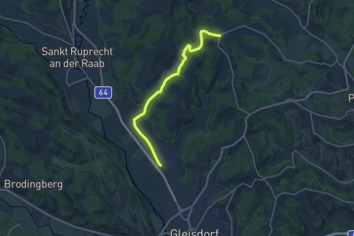
Medium · Trail
Wanderweg 3
12.5 km · ↑ 156 m · 3 h 17 min
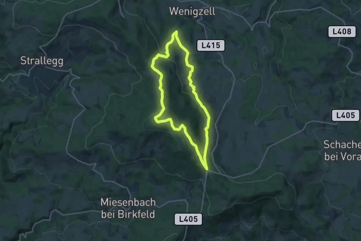
Medium · Trail
Wanderweg 3
11.4 km · ↑ 403 m · 3 h 44 min
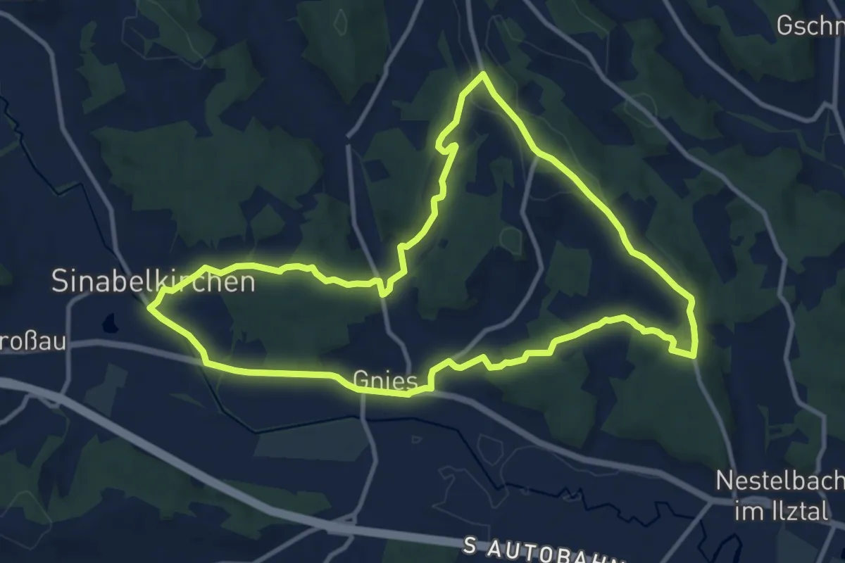
Medium · Trail
Wanderweg 3
10.3 km · ↑ 224 m · 3 h 4 min
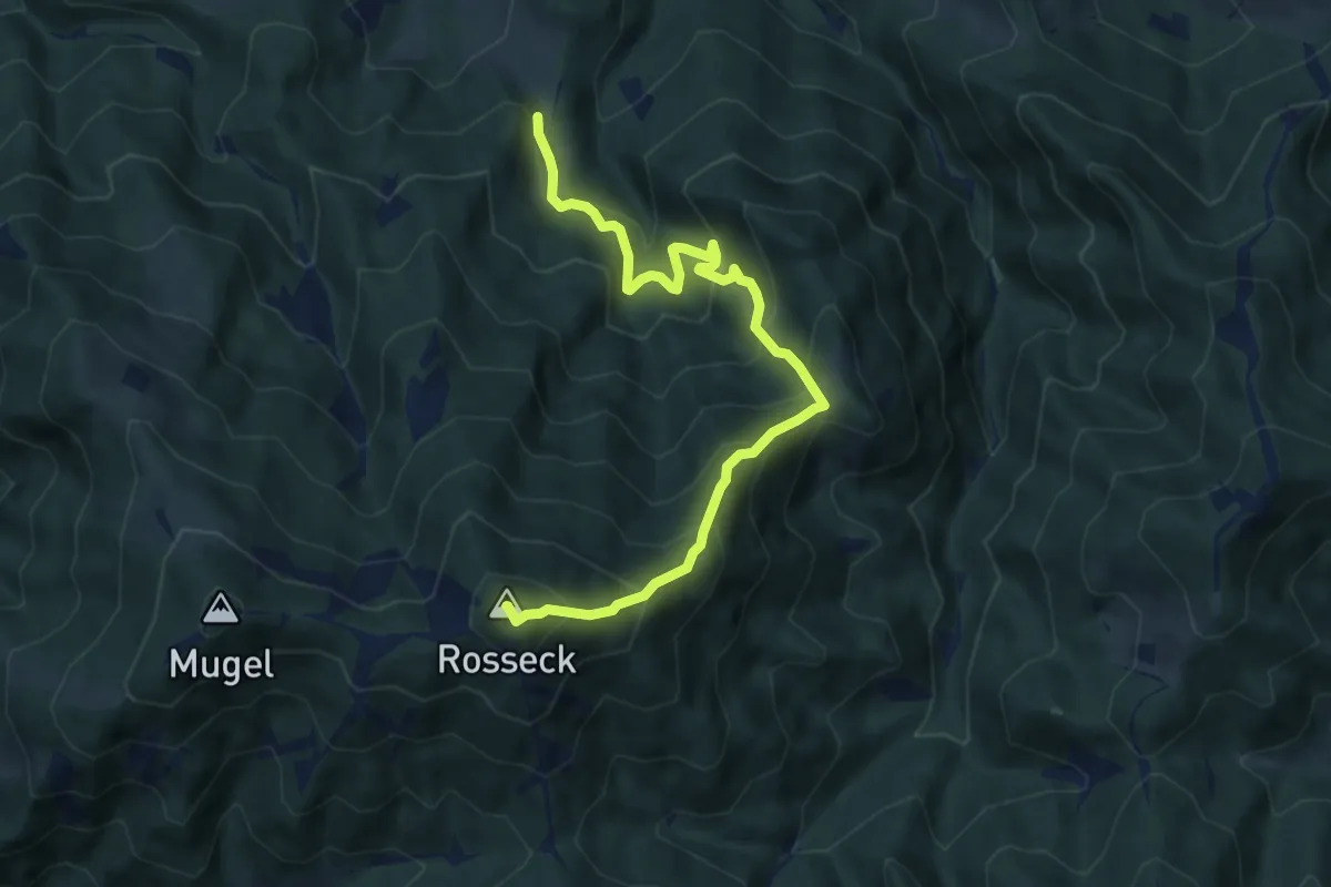
Medium · Summit
Wanderweg 3
9.5 km · ↑ 785 m · 3 h 57 min
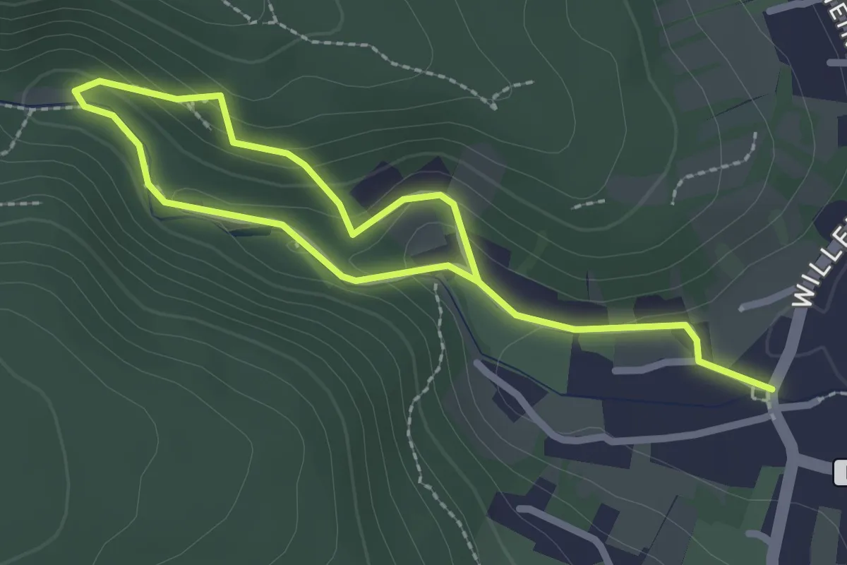
Easy · Trail
Wanderweg 3
1.7 km · ↑ 75 m · 35 min