Trails in Austria
9,777 hiking trails, each with its route, climb, walking time and grade.
All trails, page 150 of 204
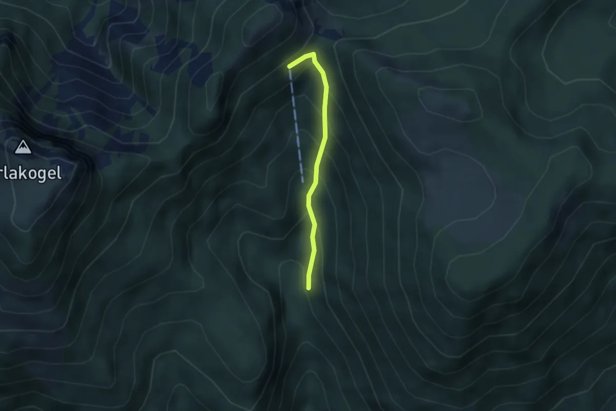
Easy · Cabin
Wanderweg 424
2.6 km · ↑ 269 m · 1 h 11 min
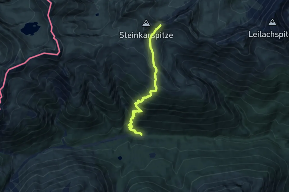
Demanding · Trail
Wanderweg 425
8.9 km · ↑ 875 m · 4 h
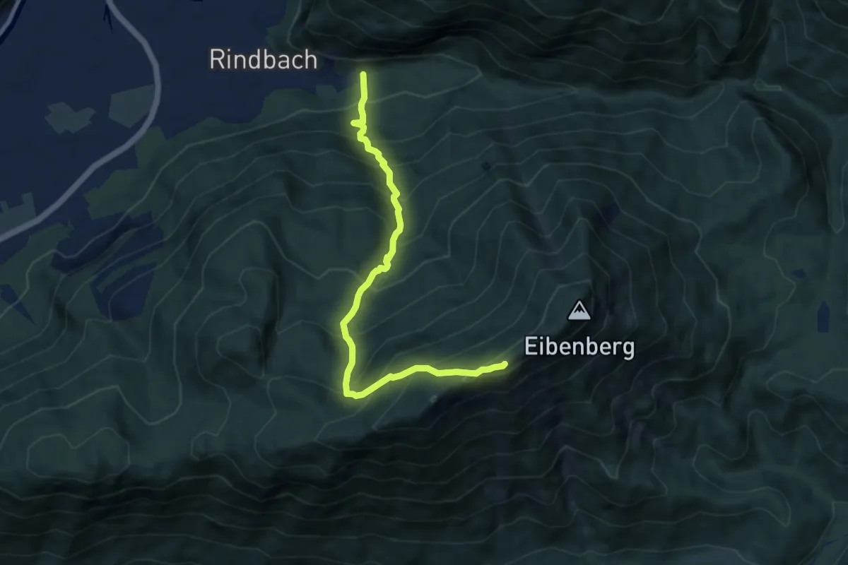
Demanding · Trail
Wanderweg 427
8.4 km · ↑ 1098 m · 4 h 22 min
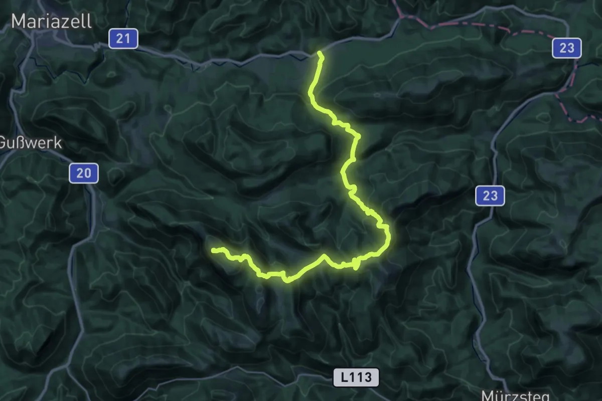
Demanding · Summit
Wanderweg 428
29.6 km · ↑ 1583 m · 10 h 25 min
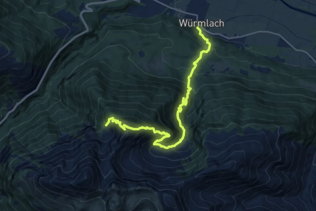
Demanding · Trail
Wanderweg 429
13.4 km · ↑ 1491 m · 6 h 24 min
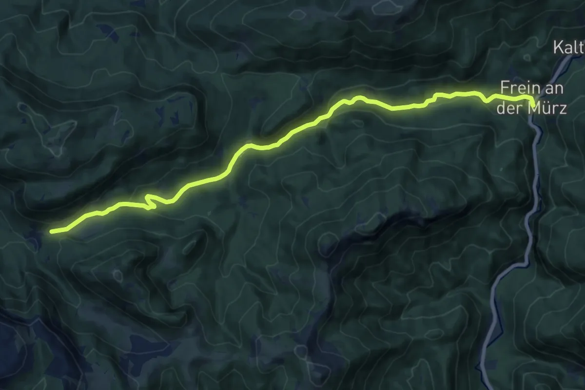
Medium · Trail
Wanderweg 429
16.1 km · ↑ 316 m · 4 h 29 min
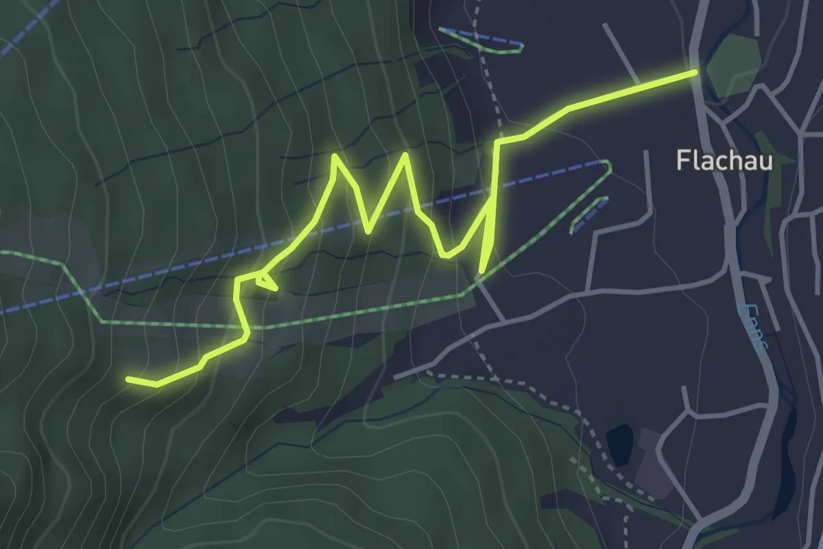
Easy · Trail
Wanderweg 42a
4.5 km · ↑ 275 m · 1 h 39 min
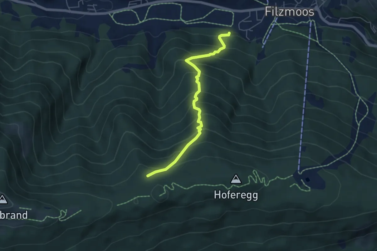
Medium · Trail
Wanderweg 42a
4.8 km · ↑ 538 m · 2 h 17 min
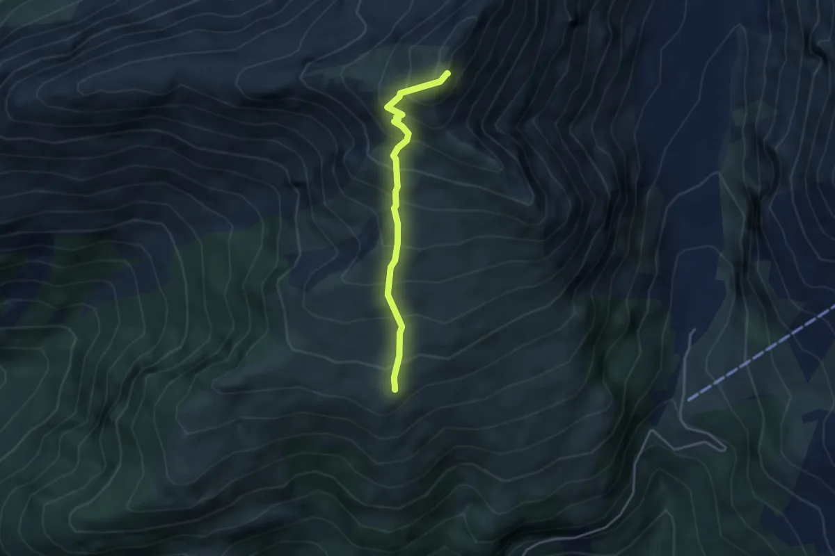
Demanding · Summit
Wanderweg 42A
3.3 km · ↑ 503 m · 1 h 52 min
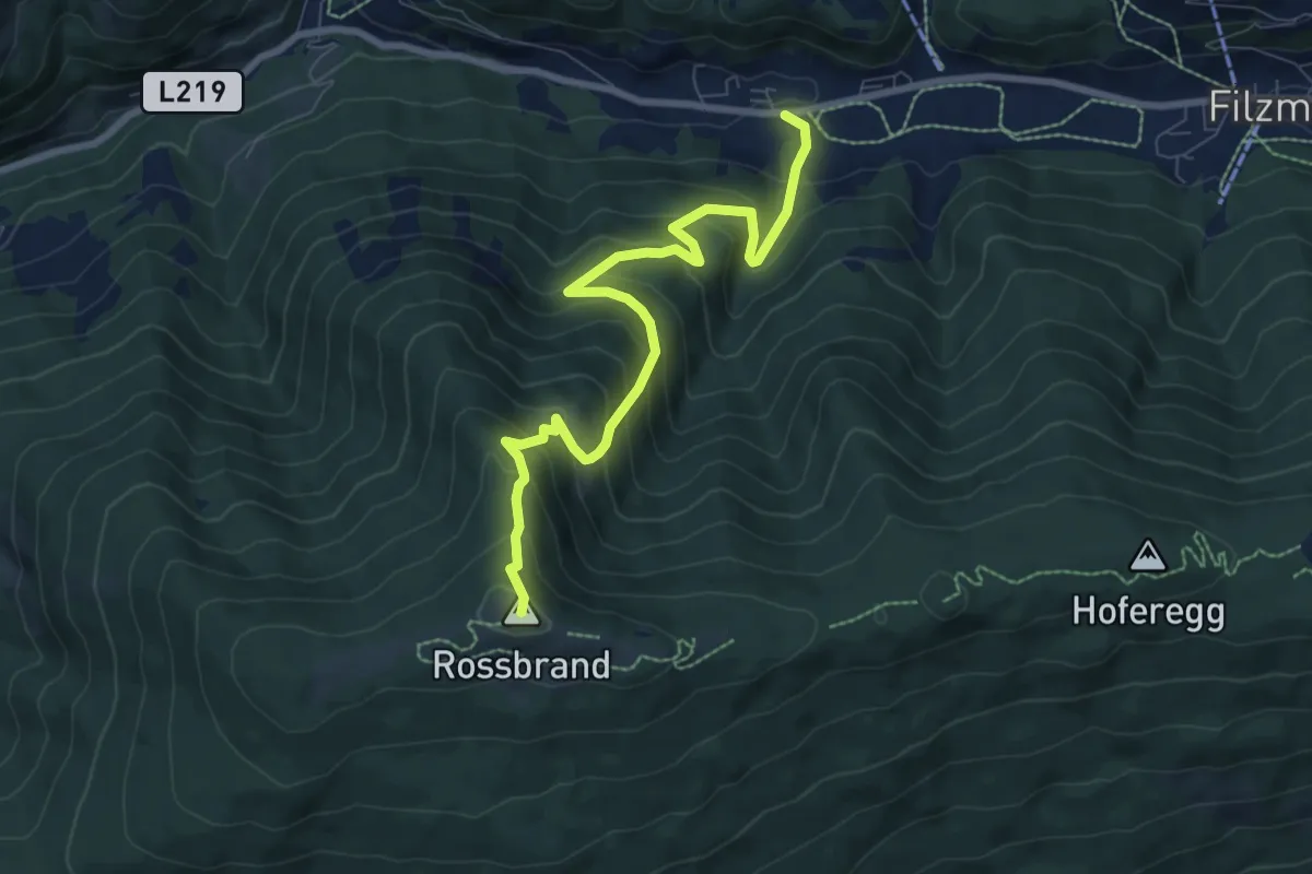
Medium · Summit
Wanderweg 42c
8.2 km · ↑ 707 m · 3 h 28 min
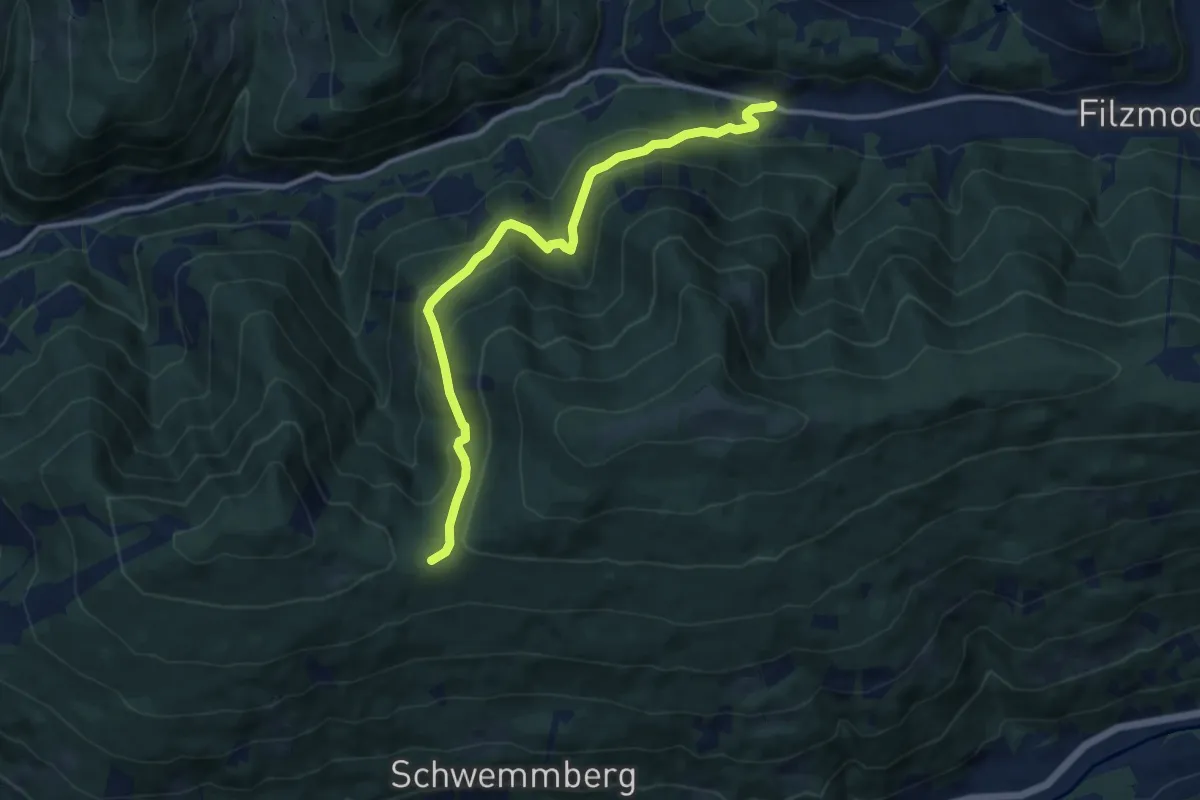
Medium · Trail
Wanderweg 42d
10.5 km · ↑ 475 m · 3 h 31 min
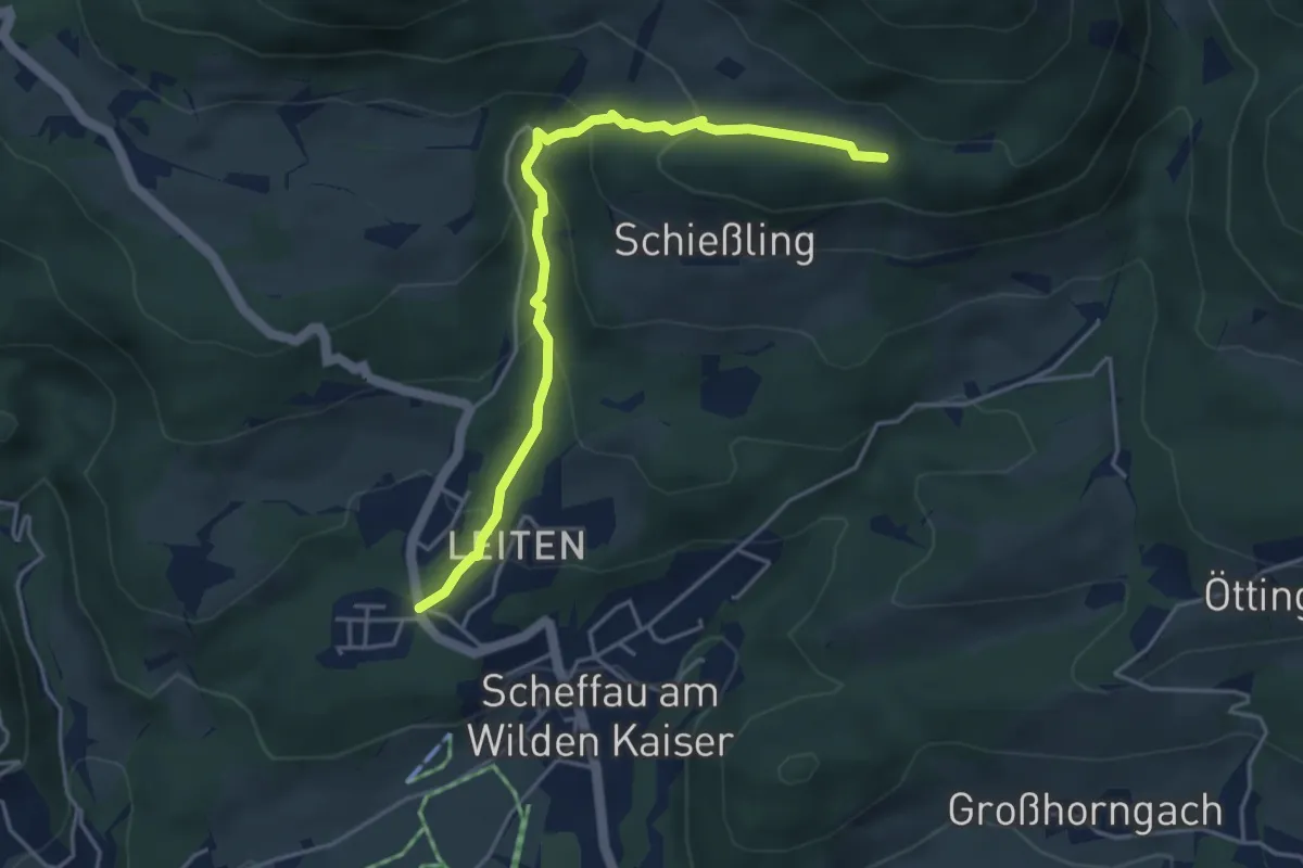
Medium · Trail
Wanderweg 42 - Wilder Kaiser
4.3 km · ↑ 244 m · 1 h 32 min
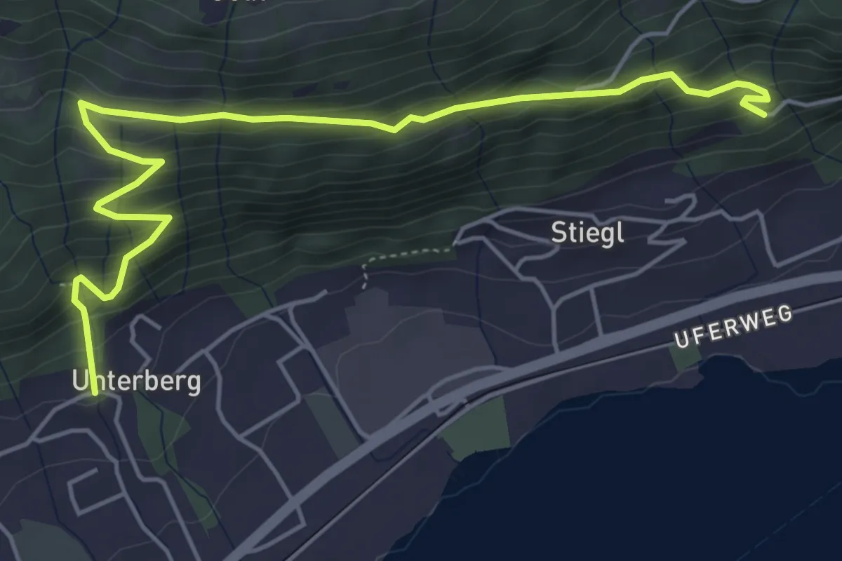
Medium · Trail
Wanderweg 43
5.9 km · ↑ 426 m · 2 h 19 min
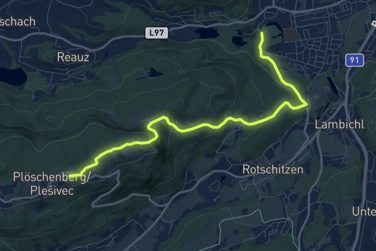
Medium · Summit
Wanderweg 43
10.4 km · ↑ 348 m · 3 h 13 min
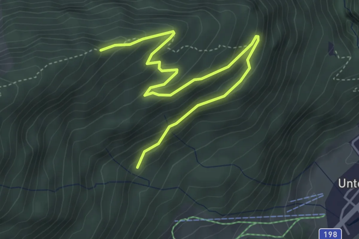
Easy · Trail
Wanderweg 43
4.9 km · ↑ 276 m · 1 h 45 min
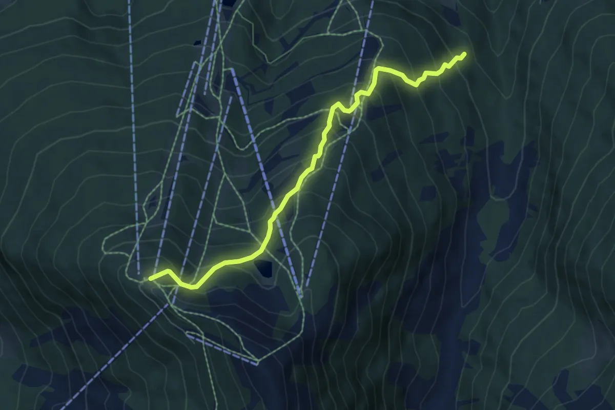
Medium · Cabin
Wanderweg 43
6.4 km · ↑ 628 m · 2 h 52 min
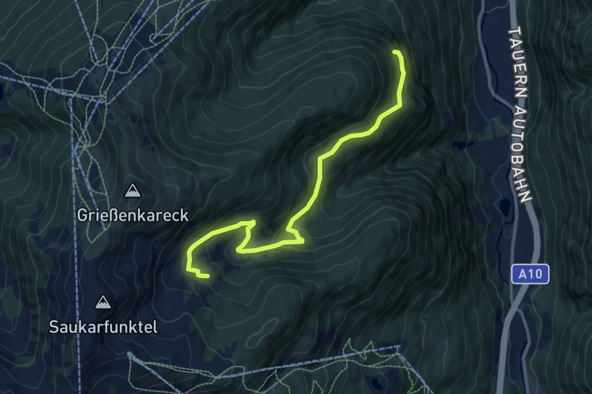
Medium · Summit
Wanderweg 43
8.1 km · ↑ 402 m · 2 h 48 min
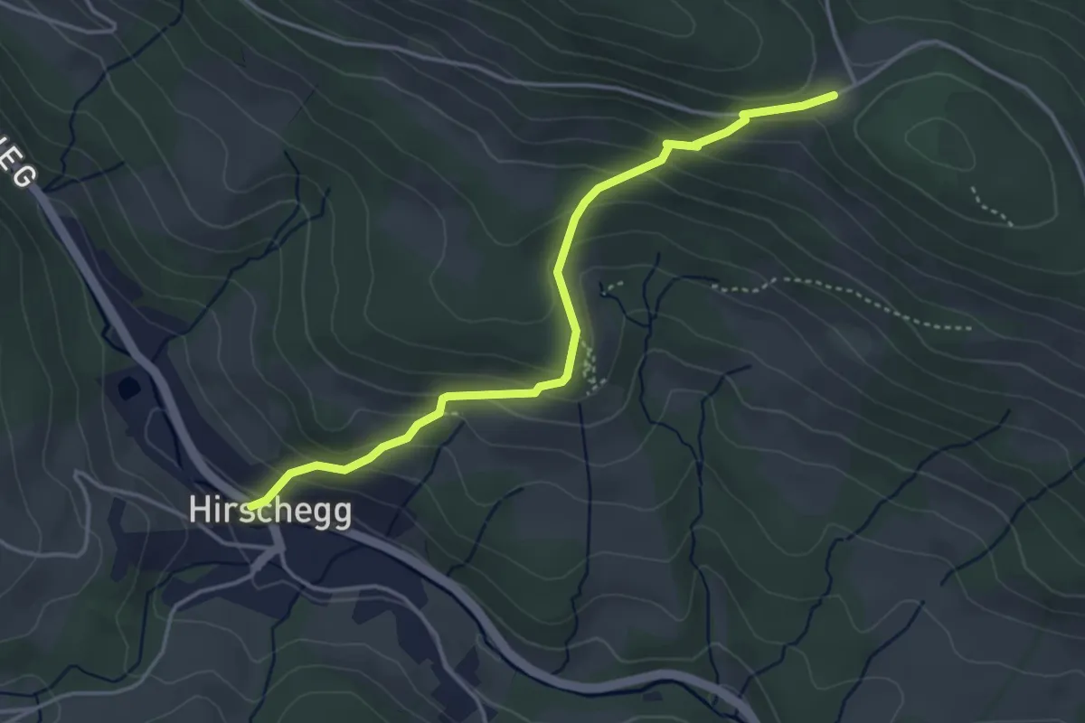
Medium · Trail
Wanderweg 43
3.9 km · ↑ 296 m · 1 h 34 min
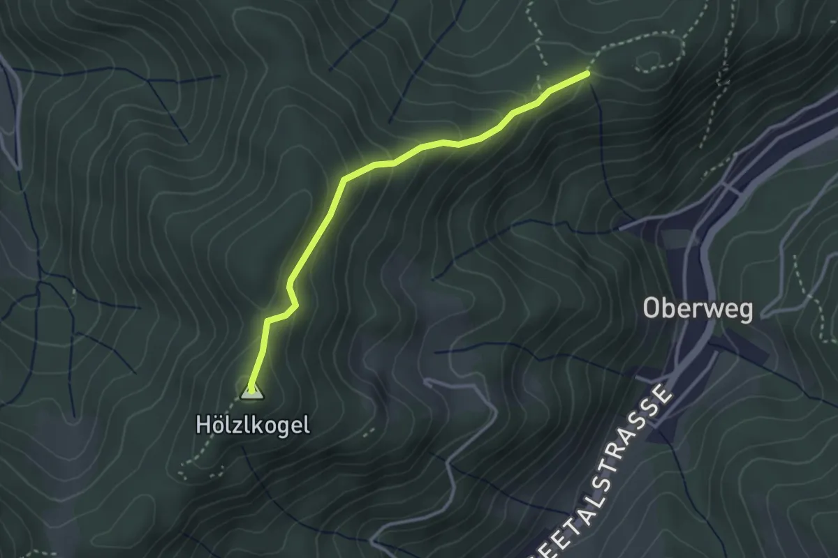
Easy · Summit
Wanderweg 43
2.9 km · ↑ 205 m · 1 h 7 min
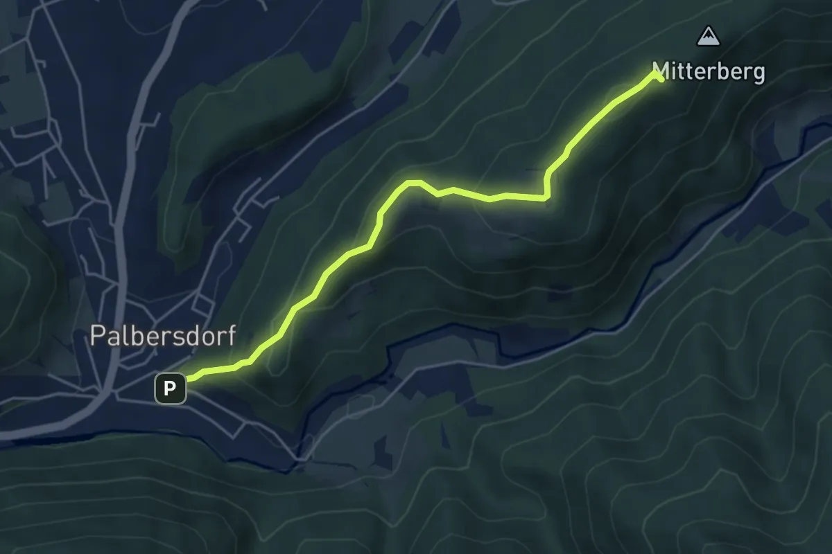
Easy · Summit
Wanderweg 43
4.5 km · ↑ 259 m · 1 h 38 min
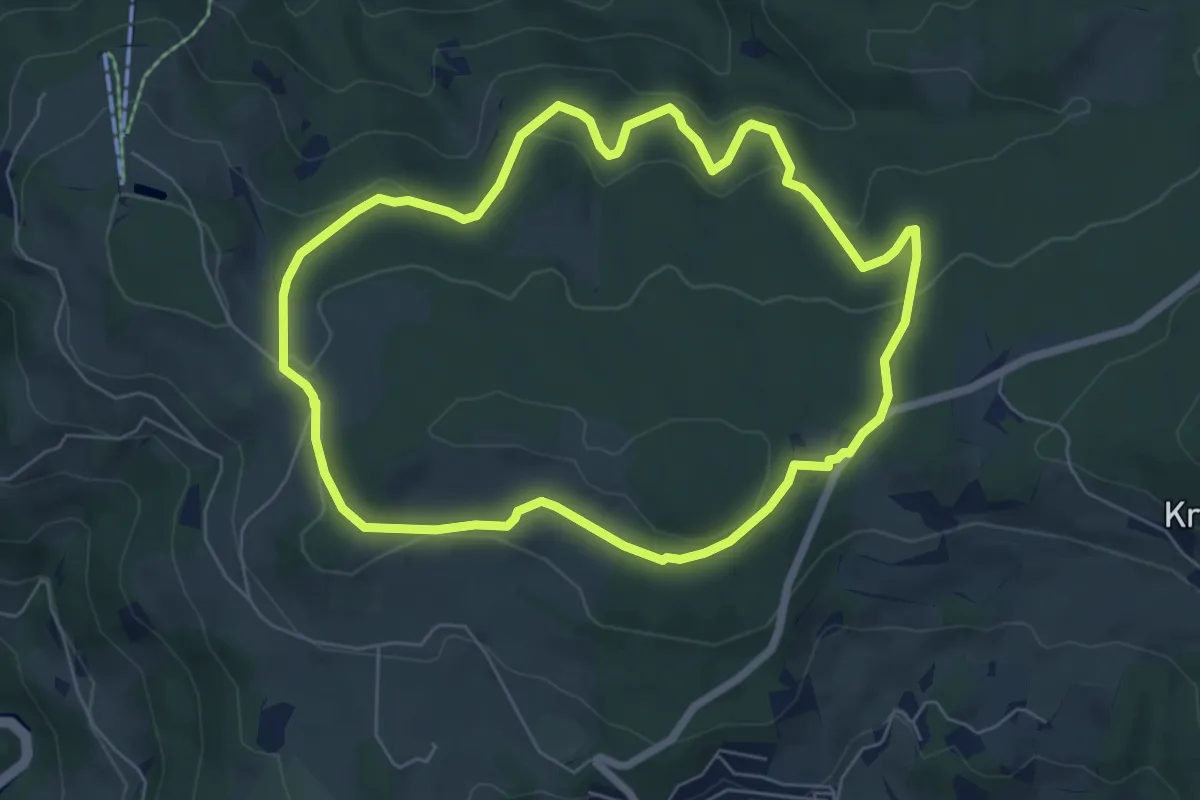
Medium · Trail
Wanderweg 43
6.1 km · ↑ 156 m · 1 h 52 min
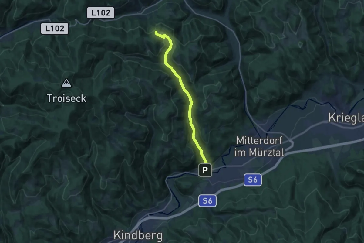
Medium · Trail
Wanderweg 43
13.0 km · ↑ 446 m · 4 h 2 min
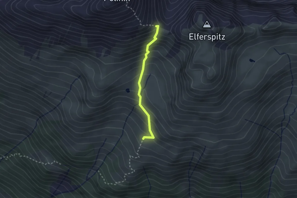
Demanding · Trail
Wanderweg 430
2.0 km · ↑ 270 m · 1 h 4 min
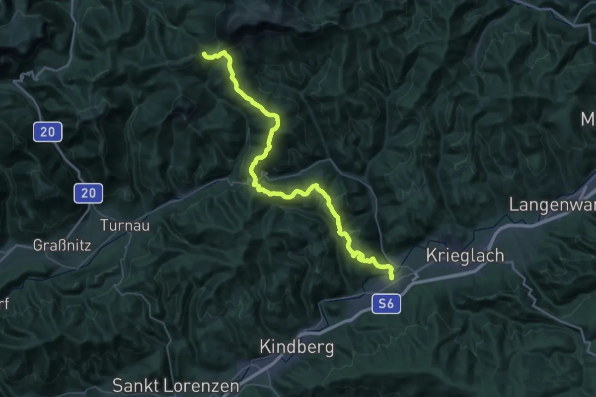
Demanding · Trail
Wanderweg 430
21.6 km · ↑ 1297 m · 7 h 47 min
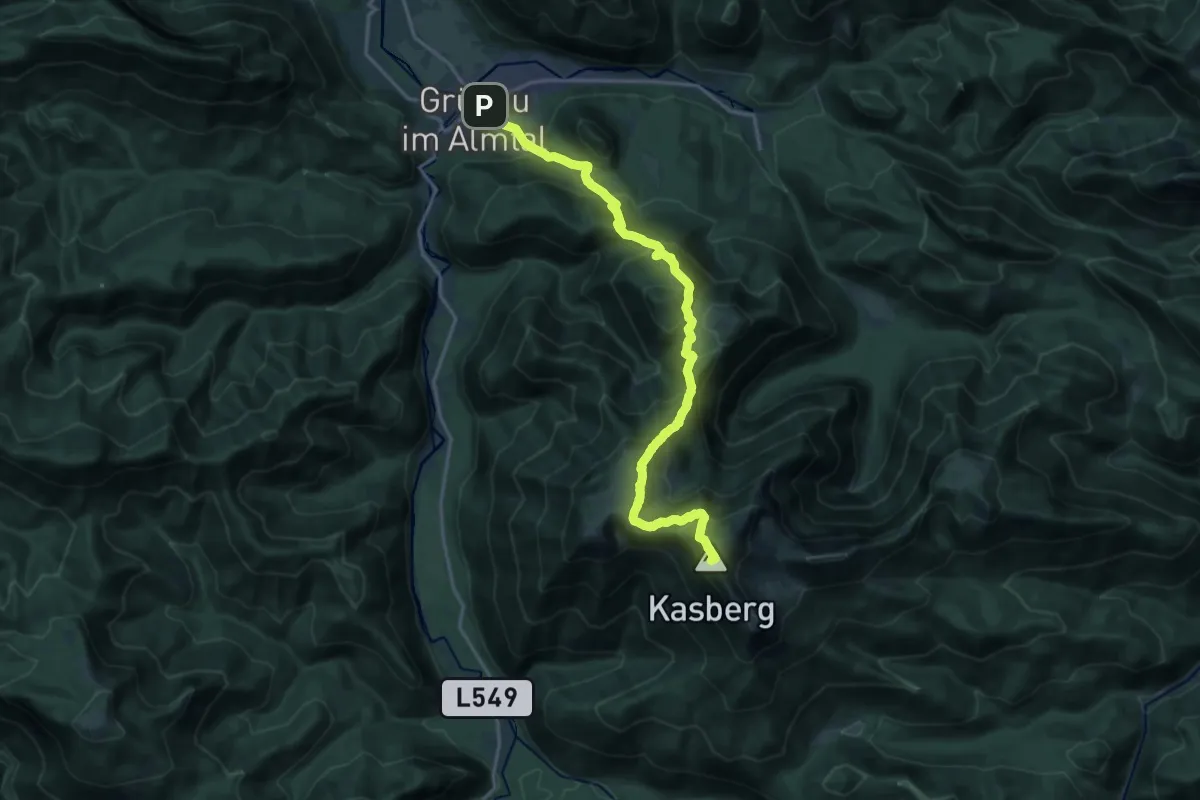
Demanding · Summit
Wanderweg 431
19.0 km · ↑ 1345 m · 7 h 23 min
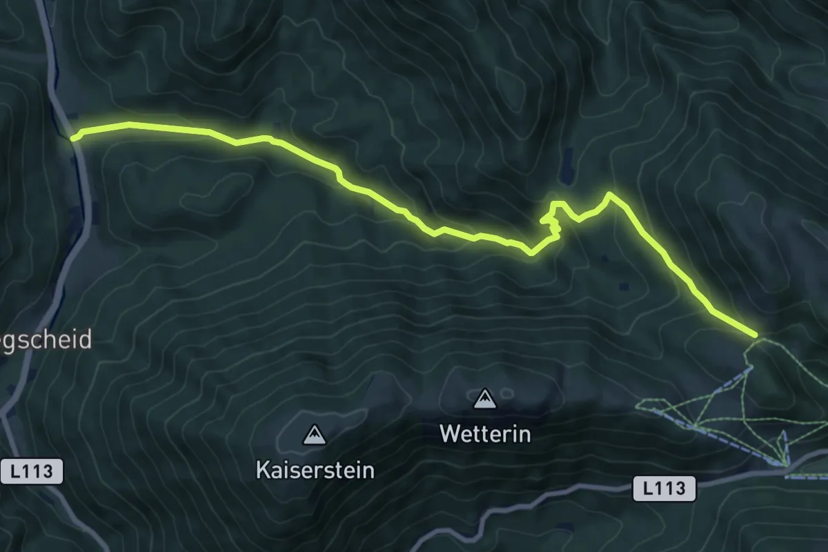
Medium · Trail
Wanderweg 431
9.5 km · ↑ 541 m · 3 h 25 min
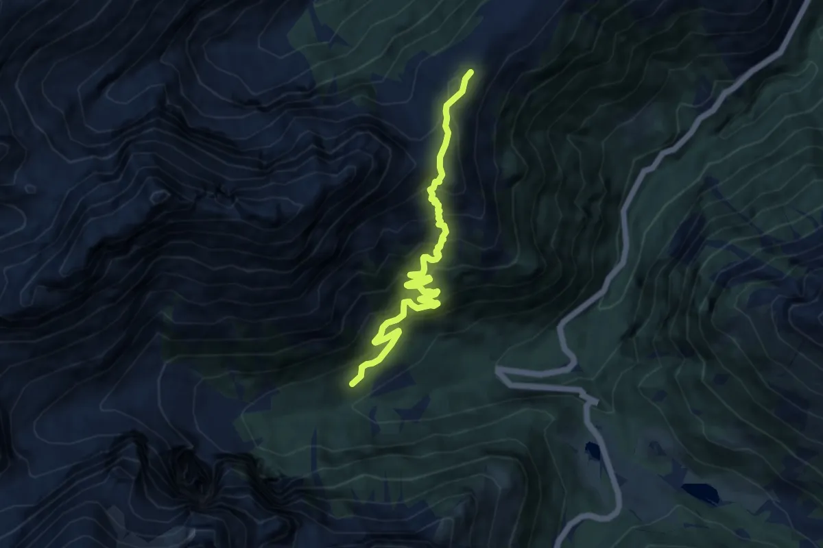
Medium · Trail
Wanderweg 432
8.8 km · ↑ 776 m · 3 h 45 min
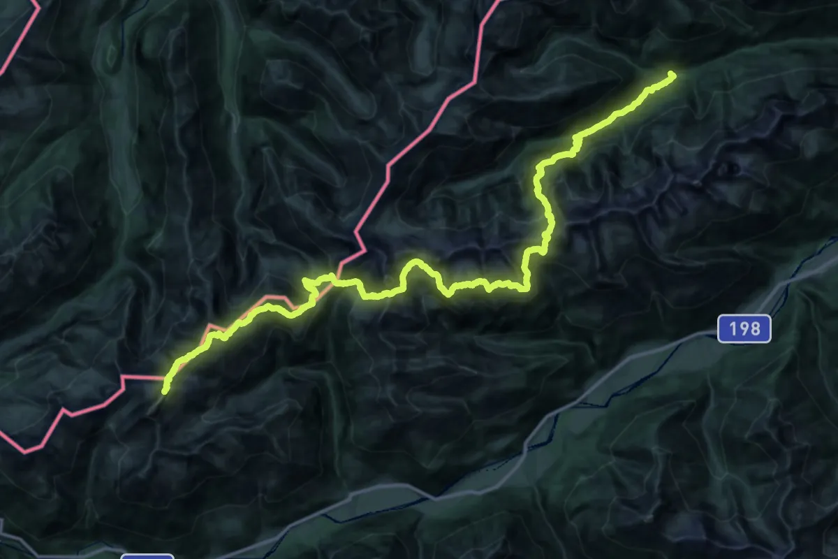
Expert · Summit
Wanderweg 432
49.1 km · ↑ 3916 m · 20 h 4 min
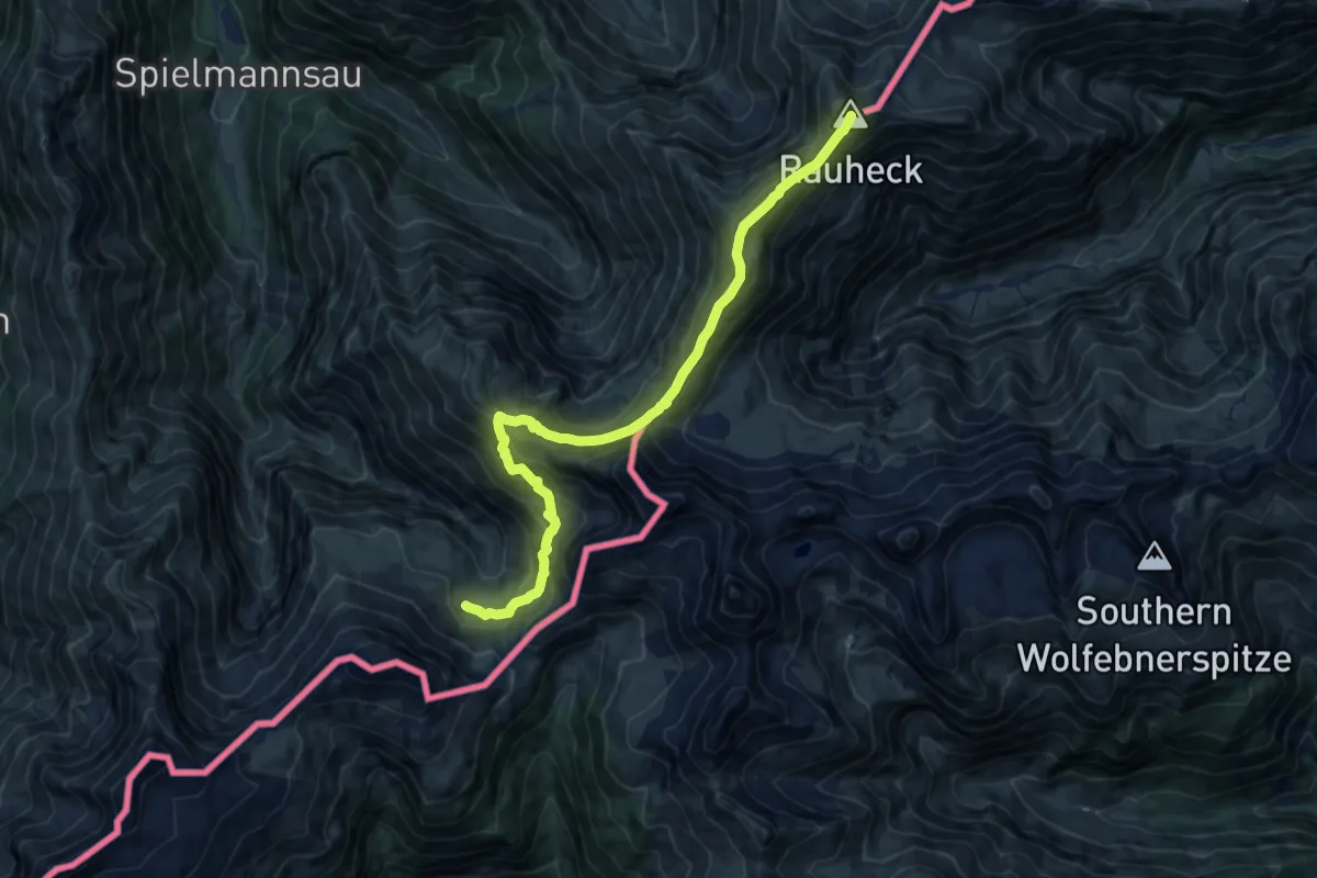
Demanding · Summit
Wanderweg 433
13.3 km · ↑ 1196 m · 5 h 44 min
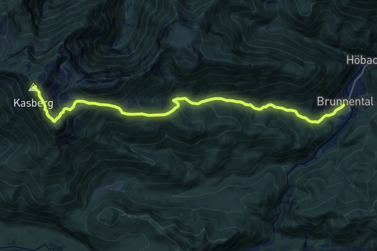
Demanding · Summit
Wanderweg 433
17.0 km · ↑ 1185 m · 6 h 34 min
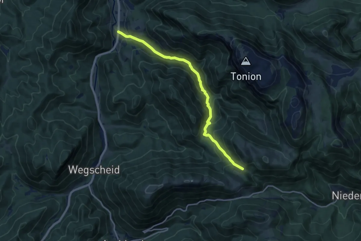
Medium · Trail
Wanderweg 433
11.5 km · ↑ 563 m · 3 h 57 min
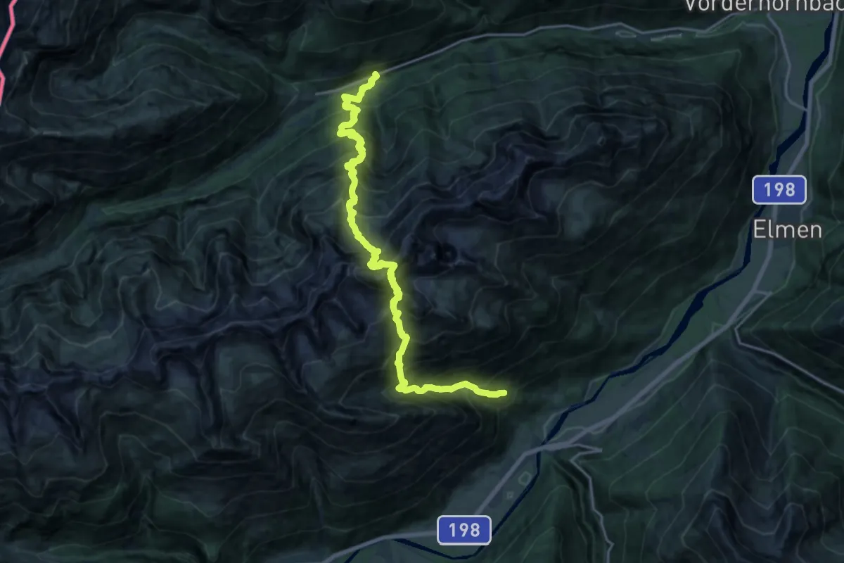
Demanding · Trail
Wanderweg 434
10.0 km · ↑ 1310 m · 5 h 26 min
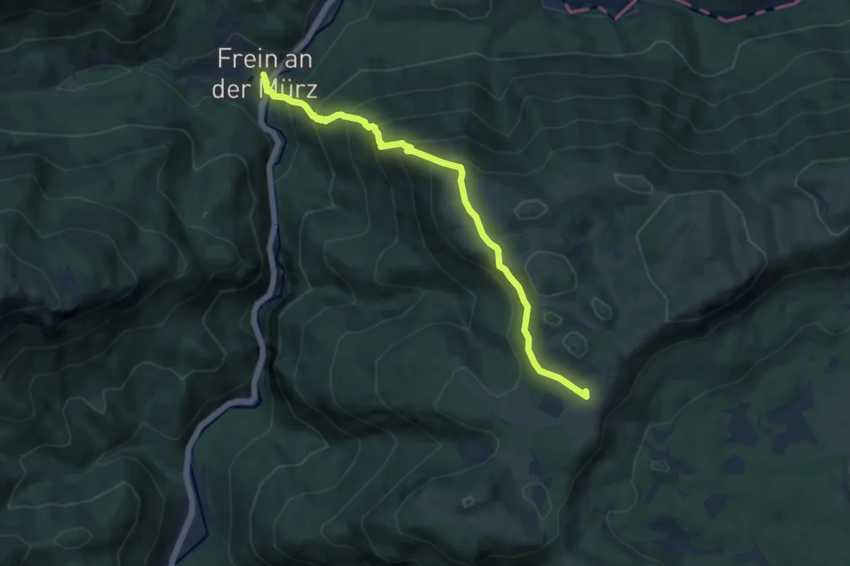
Medium · Cabin
Wanderweg 435 Frein - Hinteralm
7.9 km · ↑ 630 m · 3 h 14 min
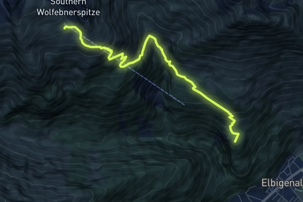
Demanding · Summit
Wanderweg 436
8.5 km · ↑ 789 m · 3 h 43 min
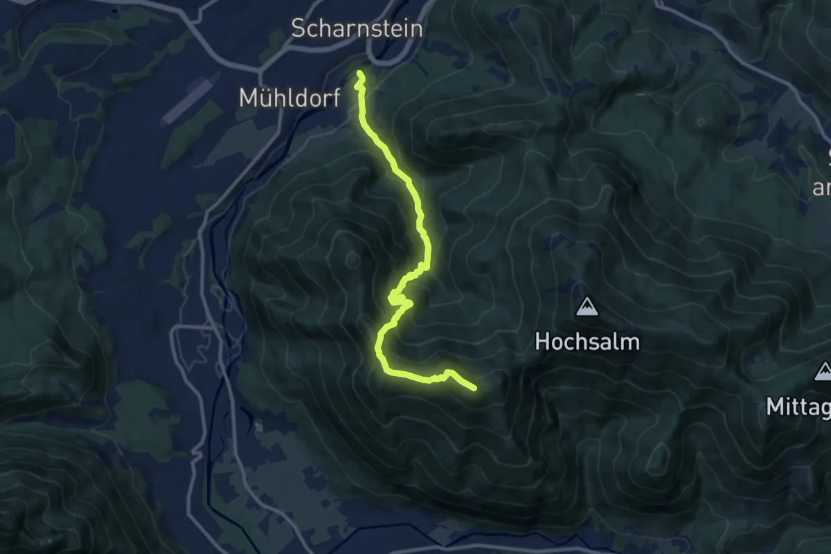
Demanding · Summit
Wanderweg 436a
10.4 km · ↑ 906 m · 4 h 24 min
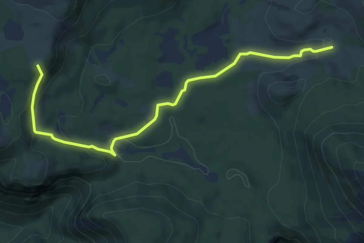
Easy · Summit
Wanderweg 436 Bodner Alm - Haselboden - Hinteralm - Scheiterboden
7.6 km · ↑ 286 m · 2 h 25 min
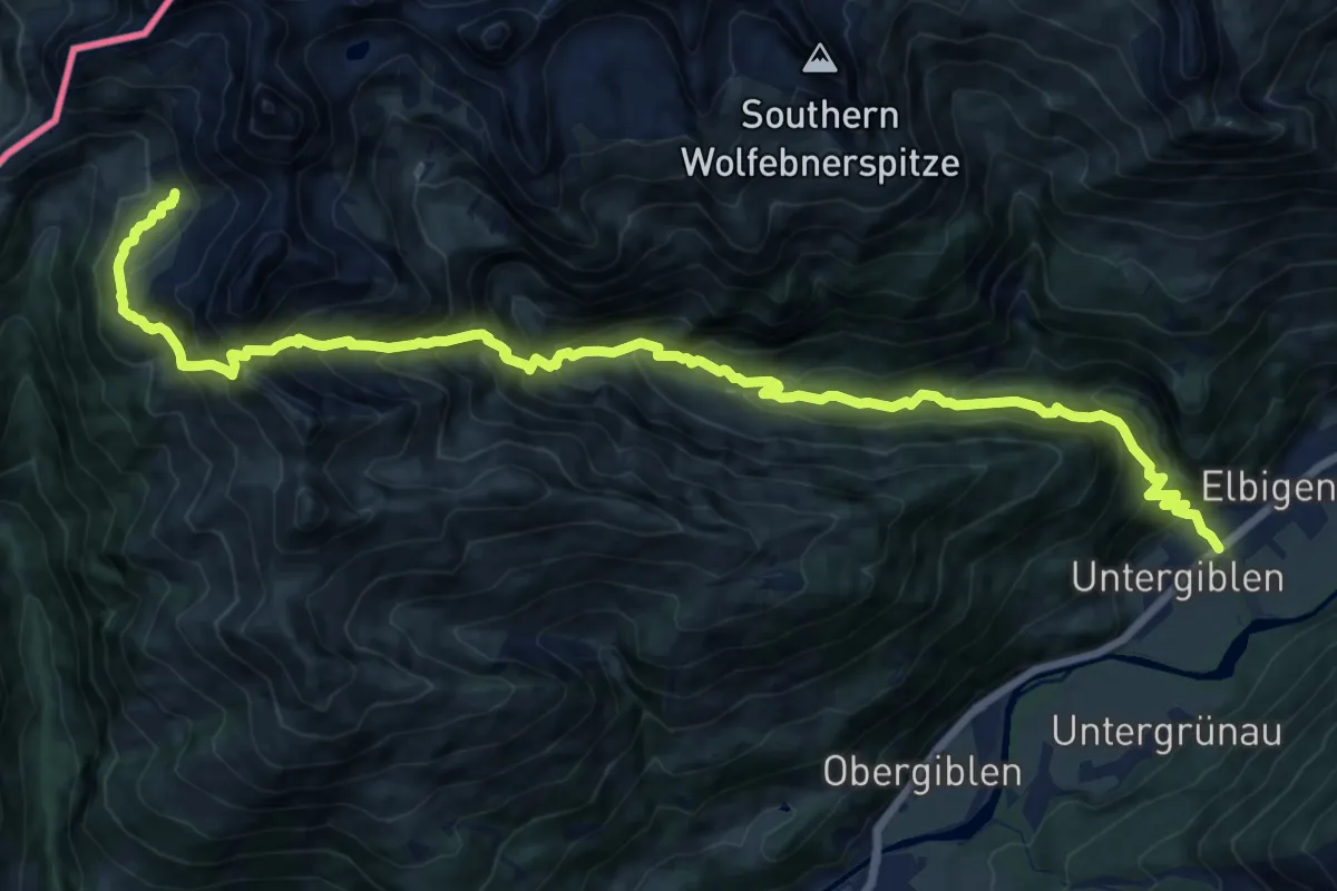
Demanding · Trail
Wanderweg 437
18.9 km · ↑ 1585 m · 7 h 53 min
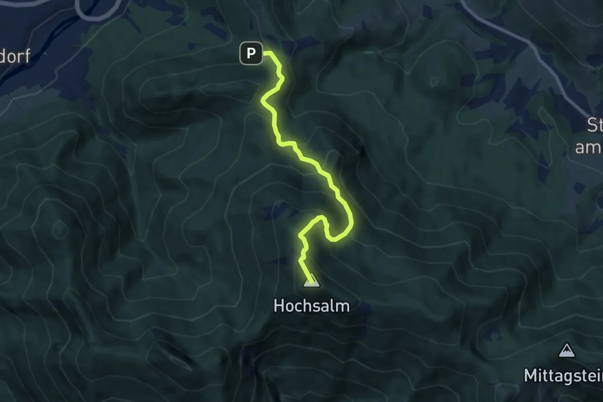
Medium · Summit
Wanderweg 437
7.2 km · ↑ 657 m · 3 h 8 min
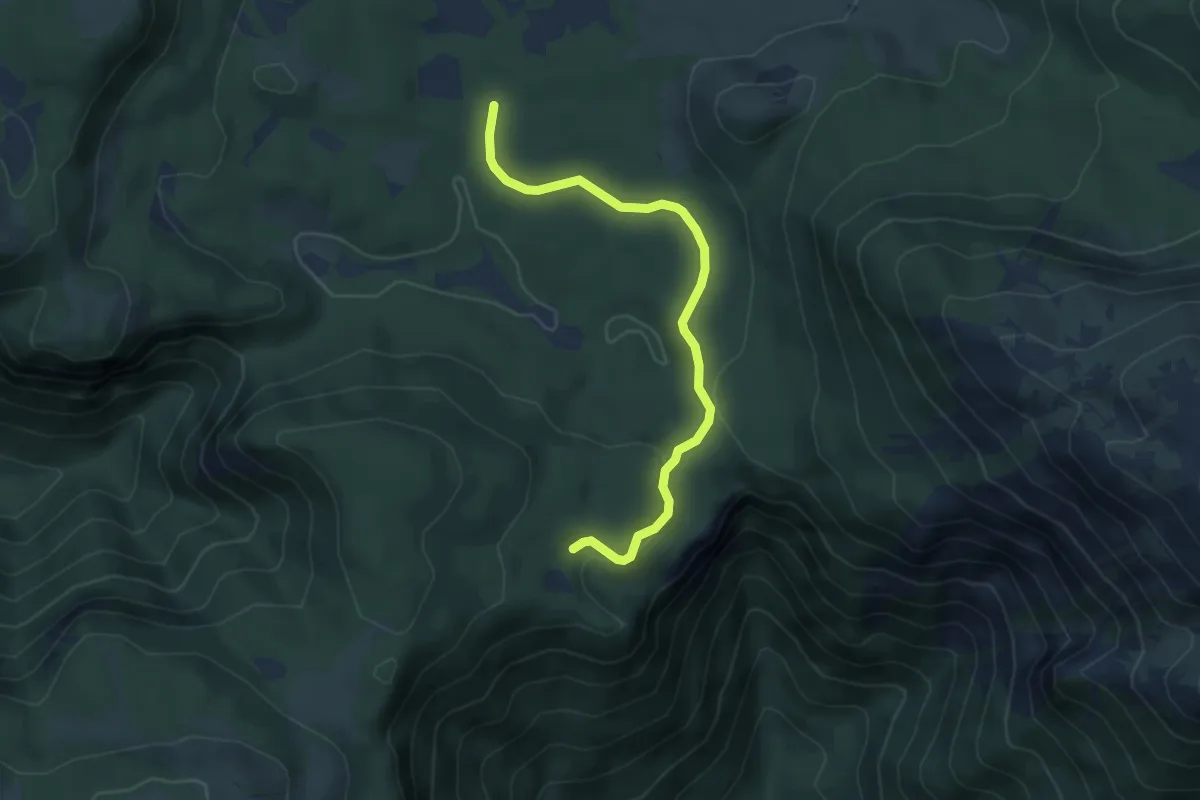
Easy · Trail
Wanderweg 437
4.8 km · ↑ 61 m · 1 h 16 min
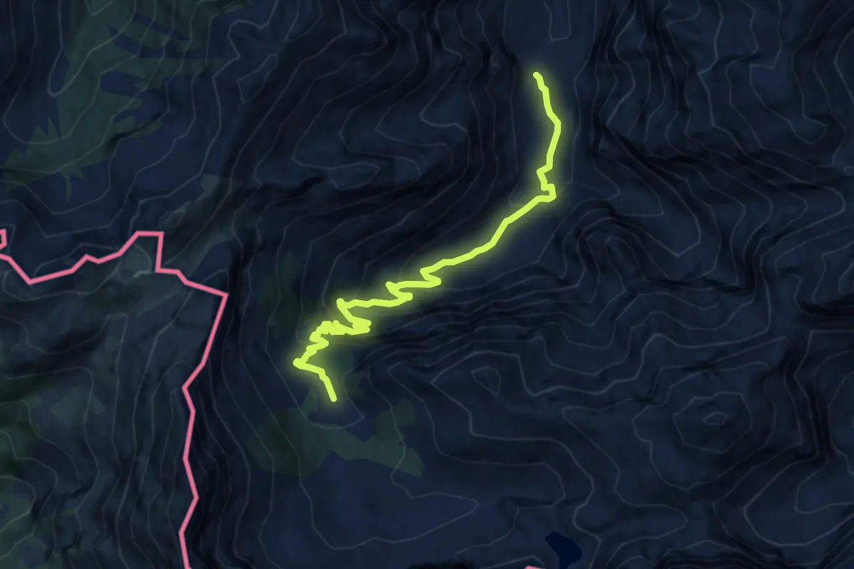
Medium · Trail
Wanderweg 438
10.8 km · ↑ 565 m · 3 h 46 min
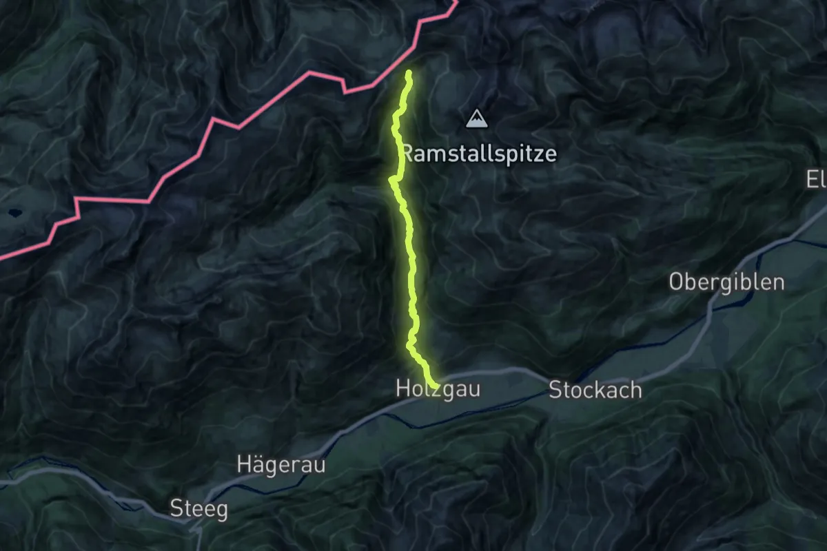
Demanding · Trail
Wanderweg 438
12.1 km · ↑ 825 m · 4 h 39 min
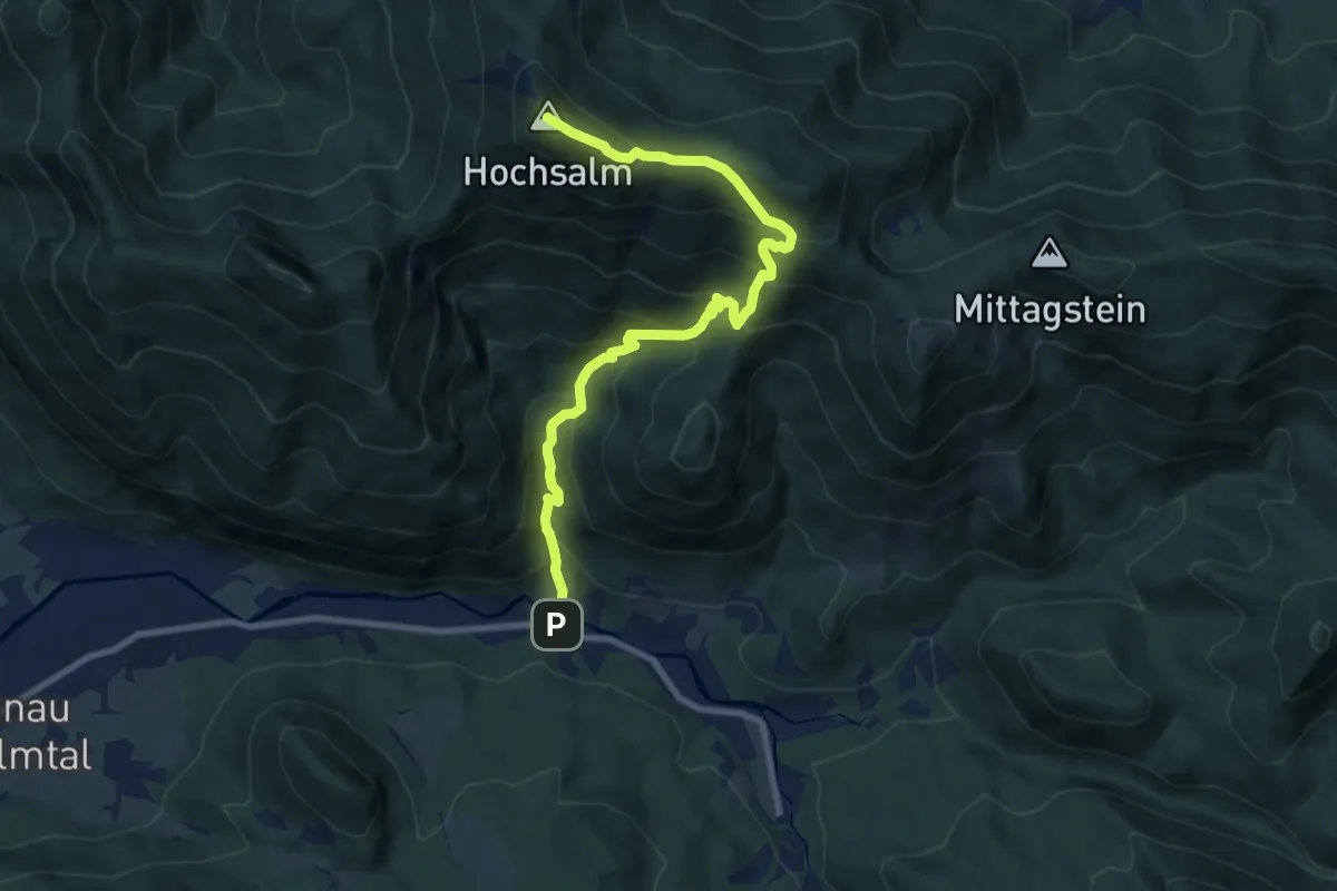
Demanding · Summit
Wanderweg 438
9.2 km · ↑ 845 m · 4 h
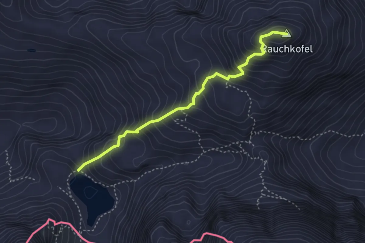
Demanding · Summit
Wanderweg 438 Rauchkofel
3.5 km · ↑ 501 m · 1 h 54 min
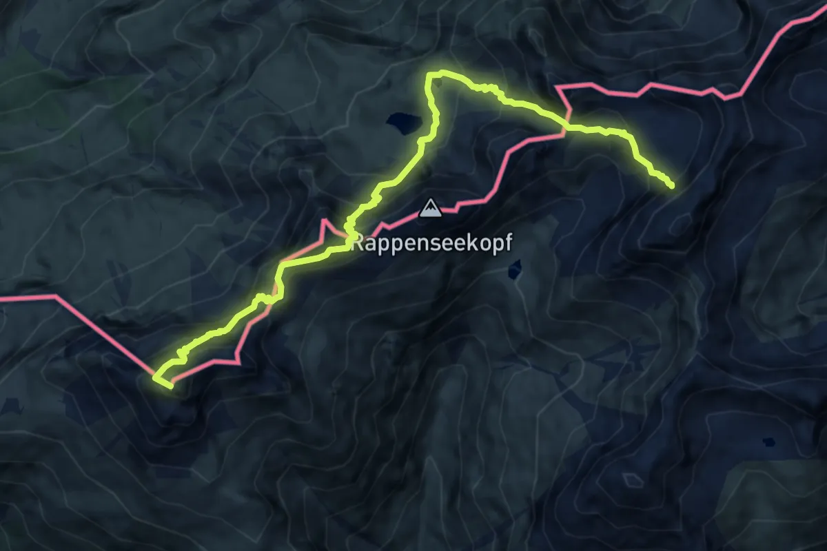
Expert · Summit
Wanderweg 439
11.3 km · ↑ 1253 m · 5 h 23 min
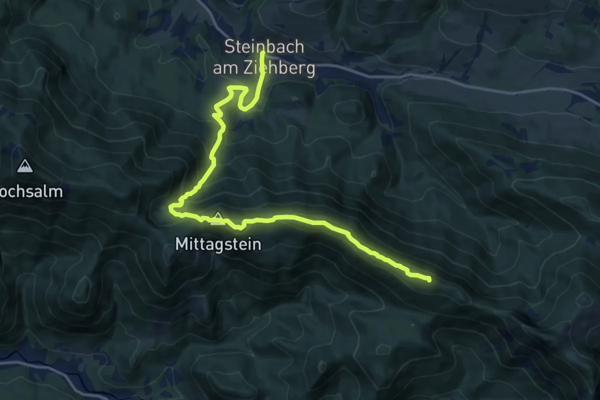
Demanding · Summit
Wanderweg 439
14.2 km · ↑ 989 m · 5 h 30 min
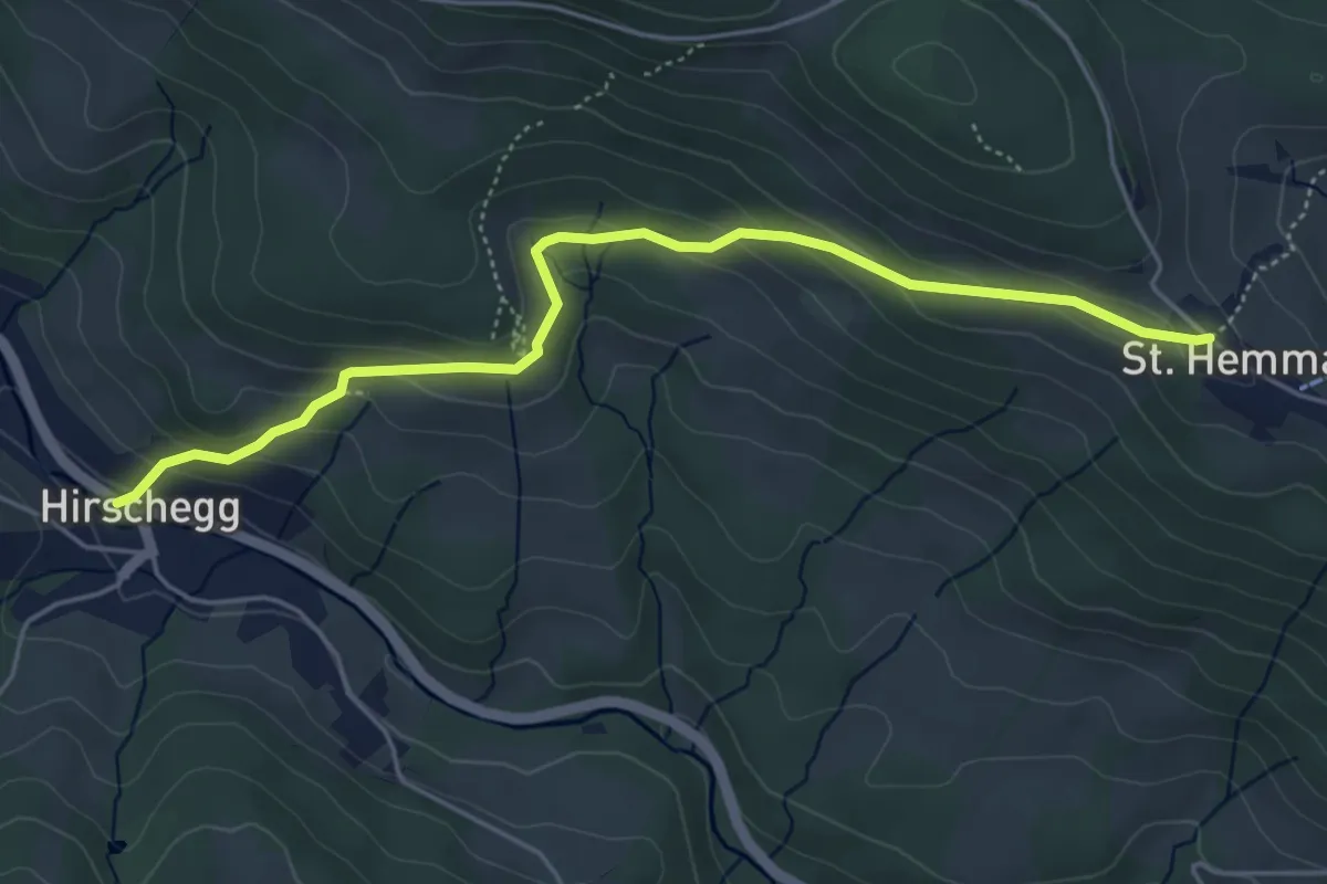
Medium · Trail
Wanderweg 43a
5.1 km · ↑ 248 m · 1 h 44 min
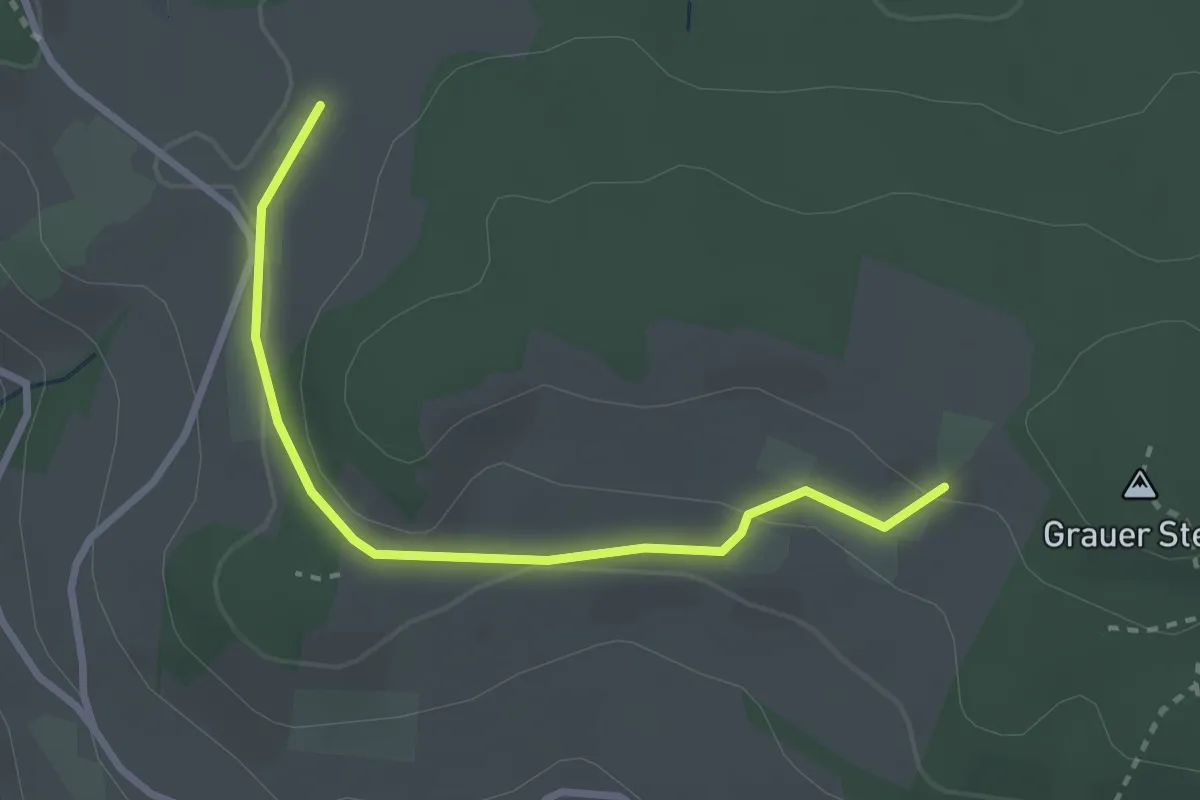
Easy · Trail
Wanderweg 43a
1.4 km · ↑ 46 m · 26 min
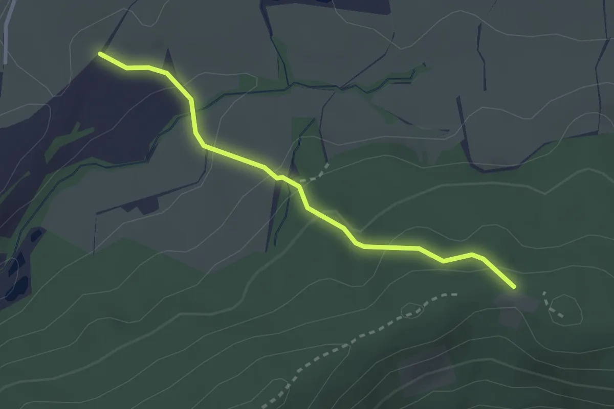
Easy · Trail
Wanderweg 43b
2.5 km · ↑ 125 m · 51 min