Trails in Austria
9,777 hiking trails, each with its route, climb, walking time and grade.
All trails, page 162 of 204
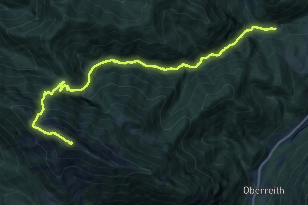
Demanding · Summit
Wanderweg 637
14.0 km · ↑ 1273 m · 6 h 4 min
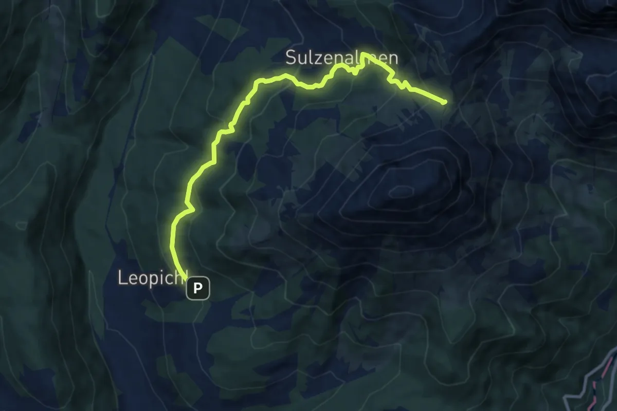
Demanding · Summit
Wanderweg 638
9.6 km · ↑ 513 m · 3 h 23 min
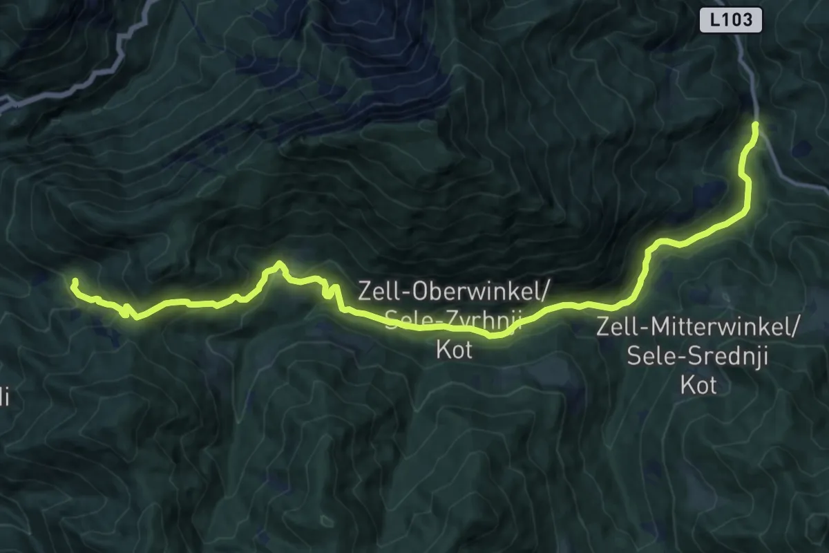
Demanding · Trail
Wanderweg 639
16.2 km · ↑ 833 m · 5 h 38 min
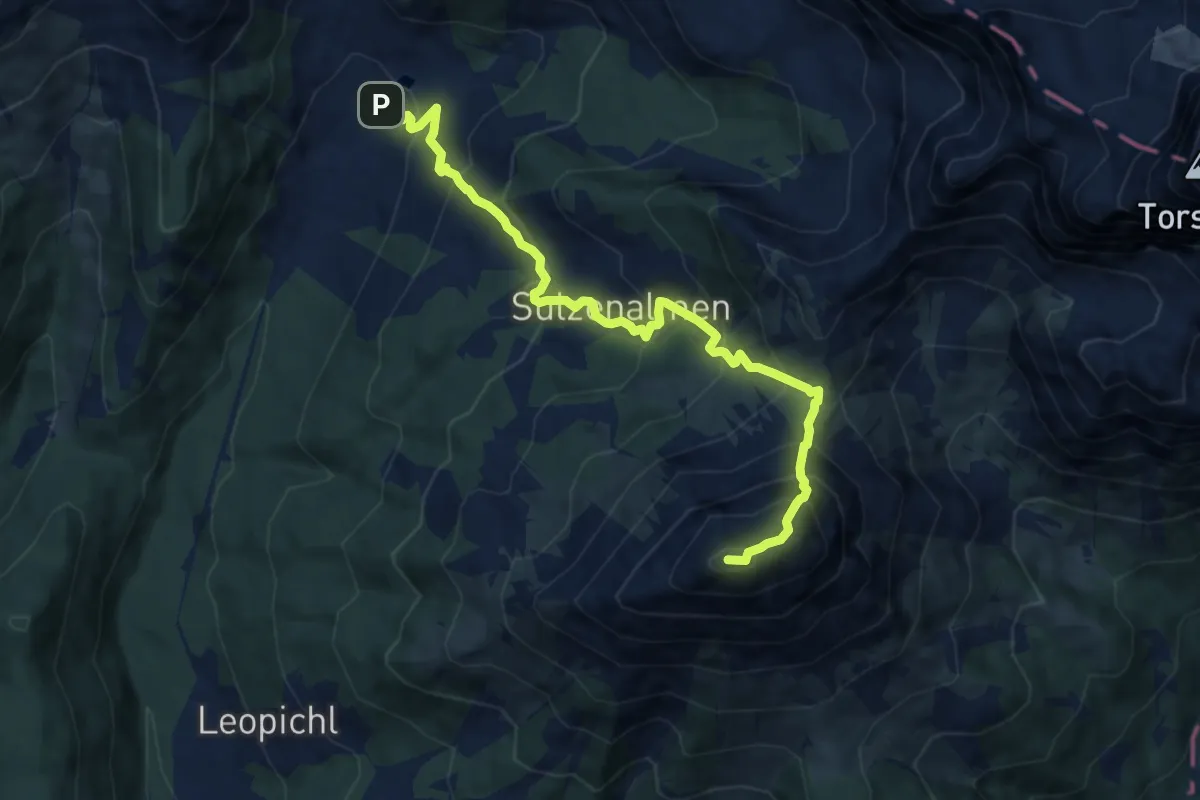
Demanding · Summit
Wanderweg 639
9.5 km · ↑ 978 m · 4 h 22 min
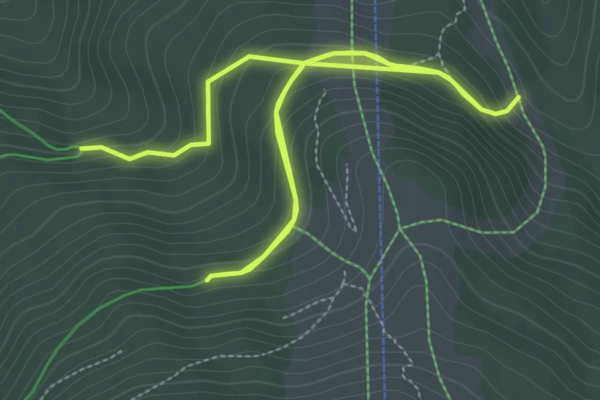
Easy · Trail
Wanderweg 63a
5.3 km · ↑ 249 m · 1 h 47 min
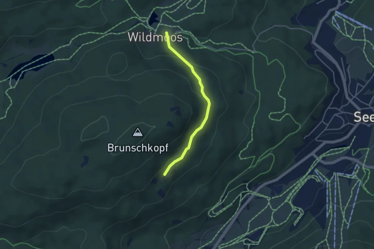
Easy · Trail
Wanderweg 63 (gelb)
3.0 km · ↑ 113 m · 57 min
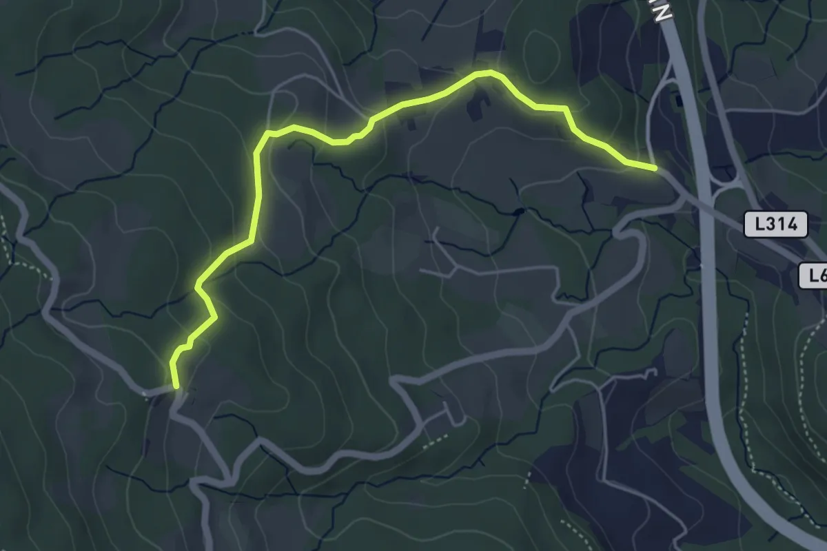
Medium · Trail
Wanderweg 64
4.7 km · ↑ 191 m · 1 h 31 min
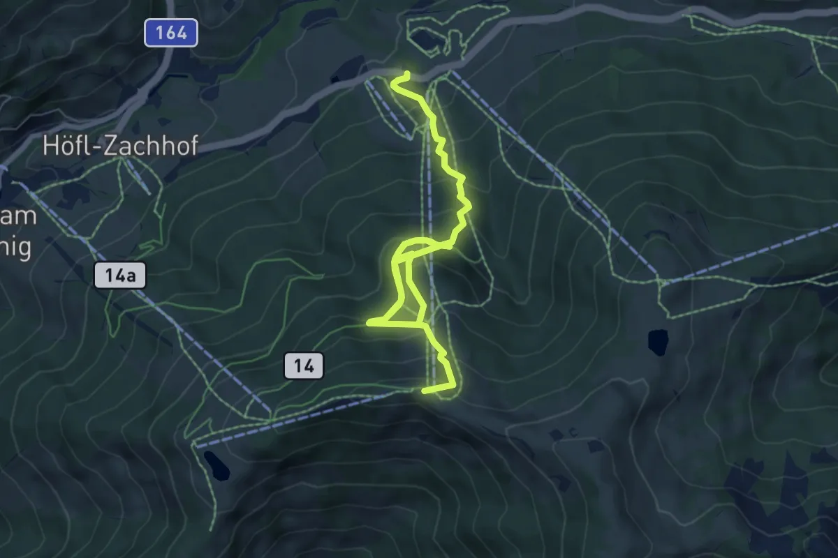
Medium · Summit
Wanderweg 64
8.8 km · ↑ 665 m · 3 h 31 min
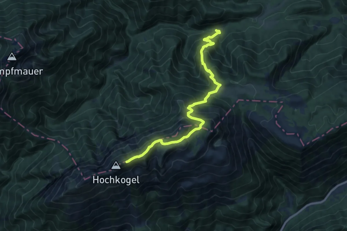
Demanding · Trail
Wanderweg 64
13.3 km · ↑ 1081 m · 5 h 29 min
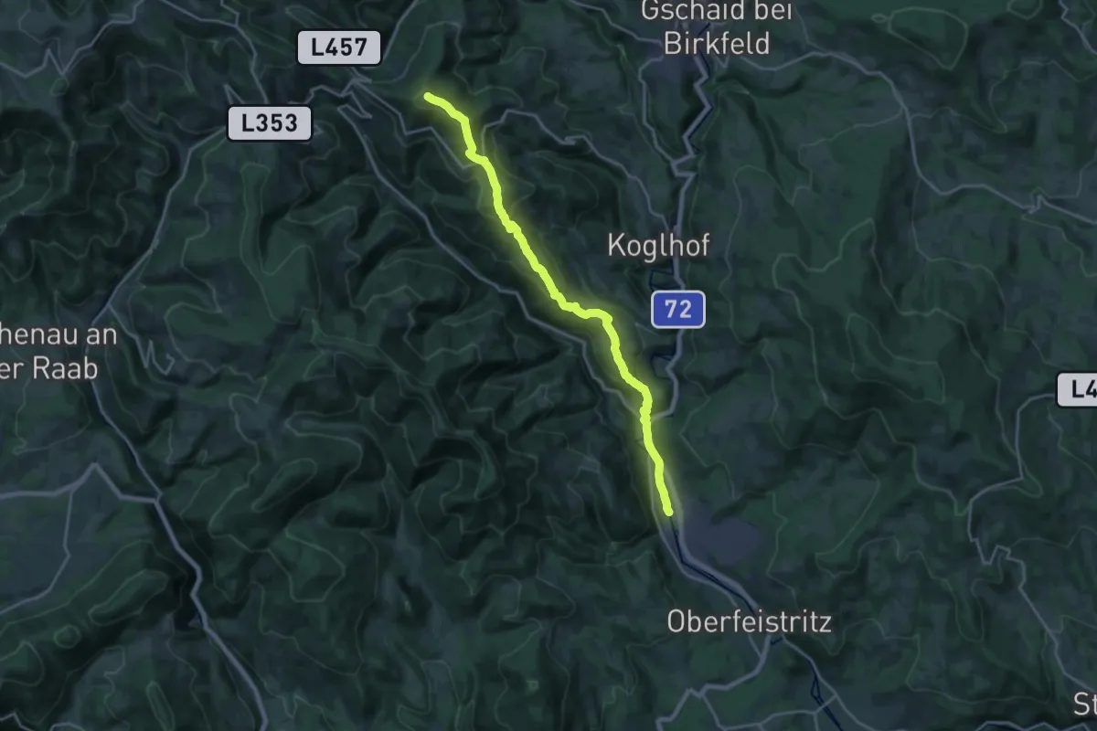
Demanding · Summit
Wanderweg 64
19.4 km · ↑ 809 m · 6 h 20 min
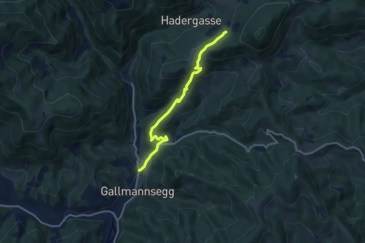
Medium · Trail
Wanderweg 64
7.0 km · ↑ 388 m · 2 h 30 min
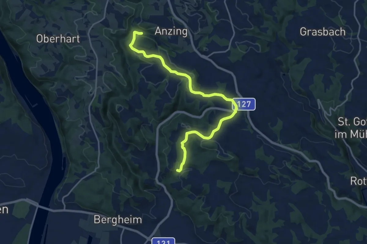
Medium · Trail
Wanderweg 64
13.4 km · ↑ 398 m · 4 h 2 min
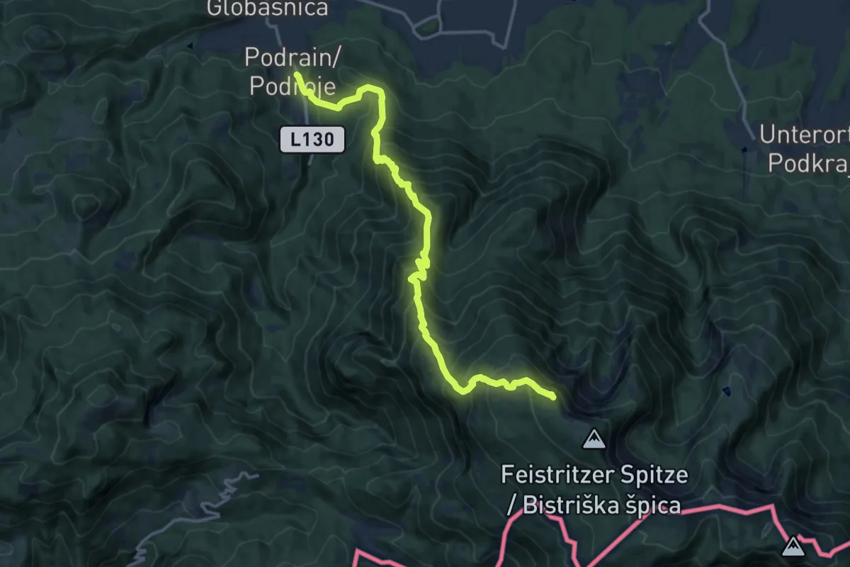
Demanding · Summit
Wanderweg 640
14.4 km · ↑ 1510 m · 6 h 41 min
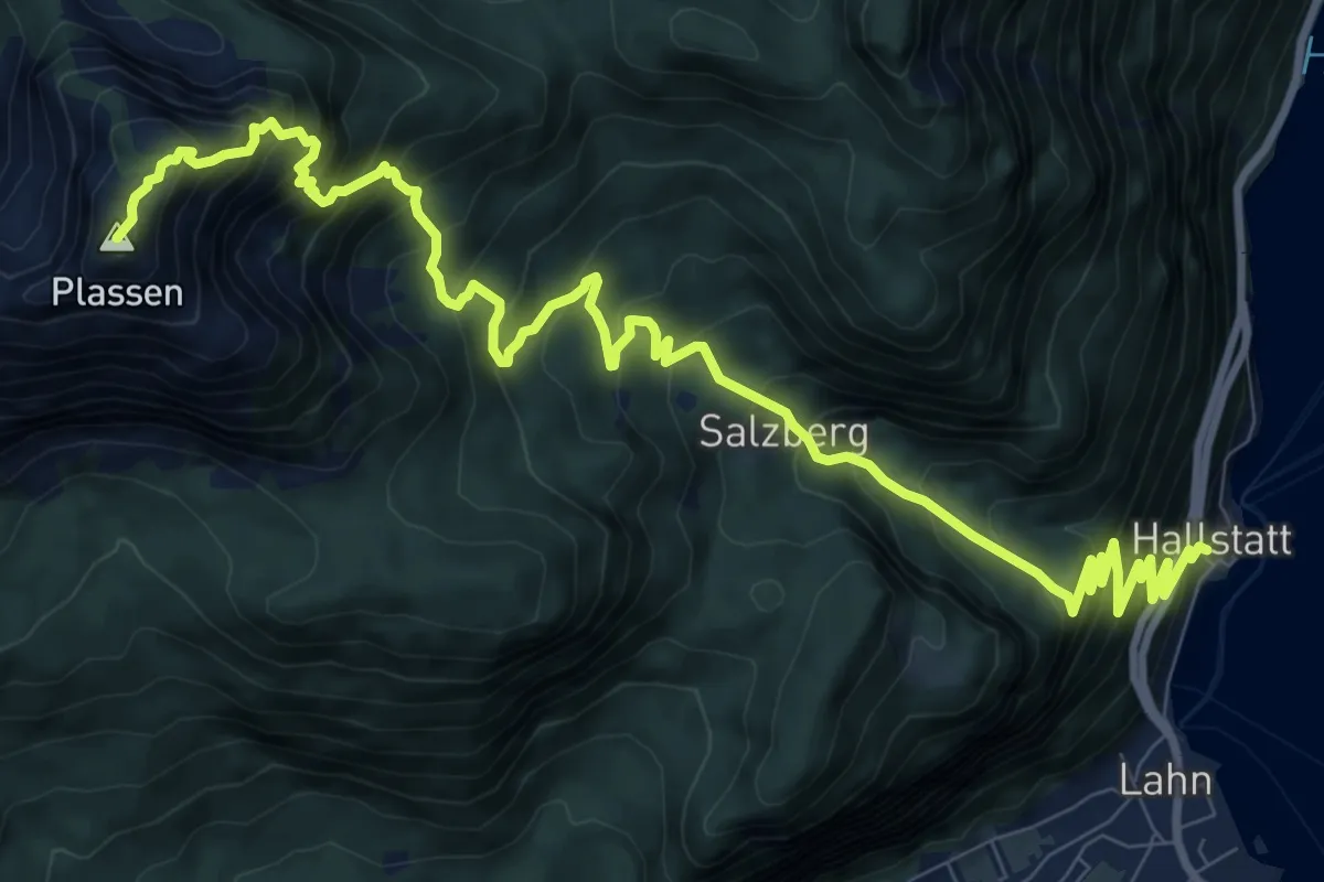
Demanding · Summit
Wanderweg 640
13.2 km · ↑ 1429 m · 6 h 13 min
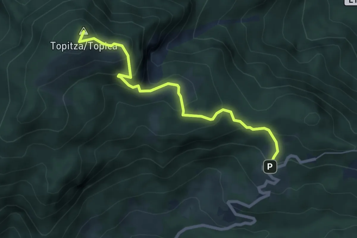
Medium · Summit
Wanderweg 641
5.2 km · ↑ 416 m · 2 h 7 min
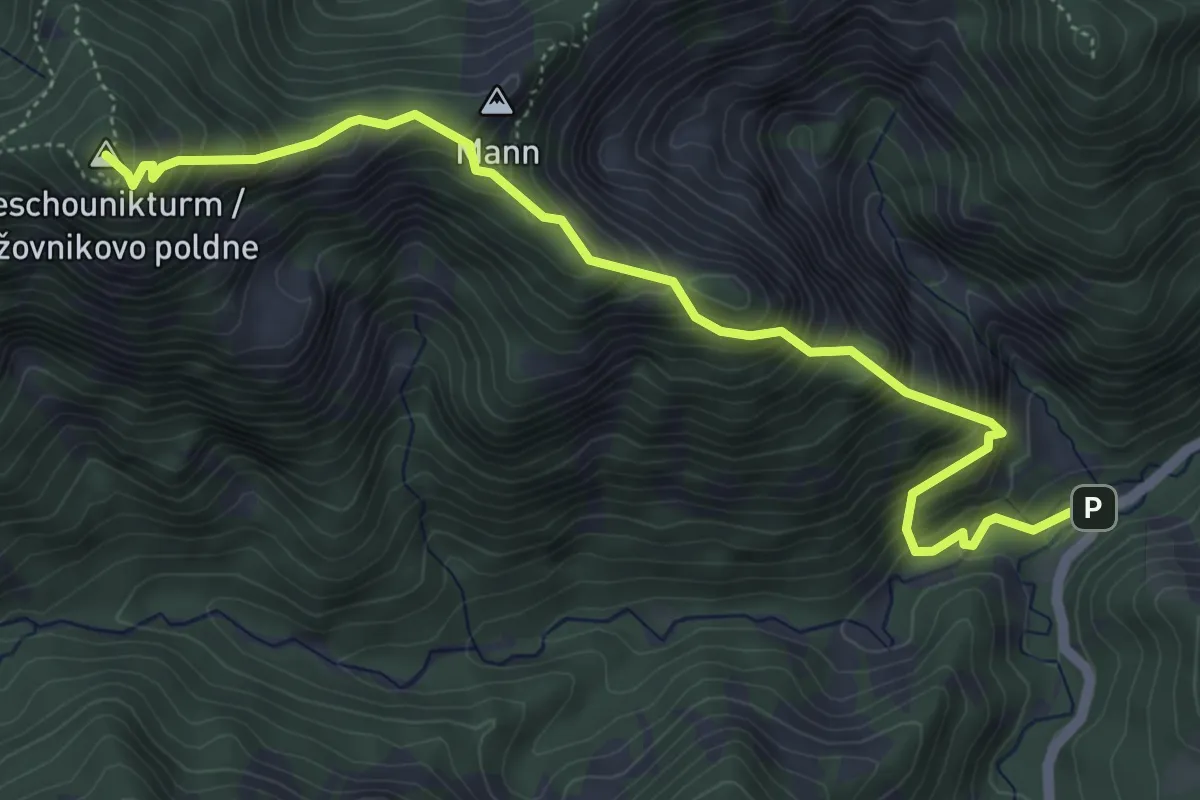
Demanding · Summit
Wanderweg 641
5.8 km · ↑ 814 m · 3 h 8 min
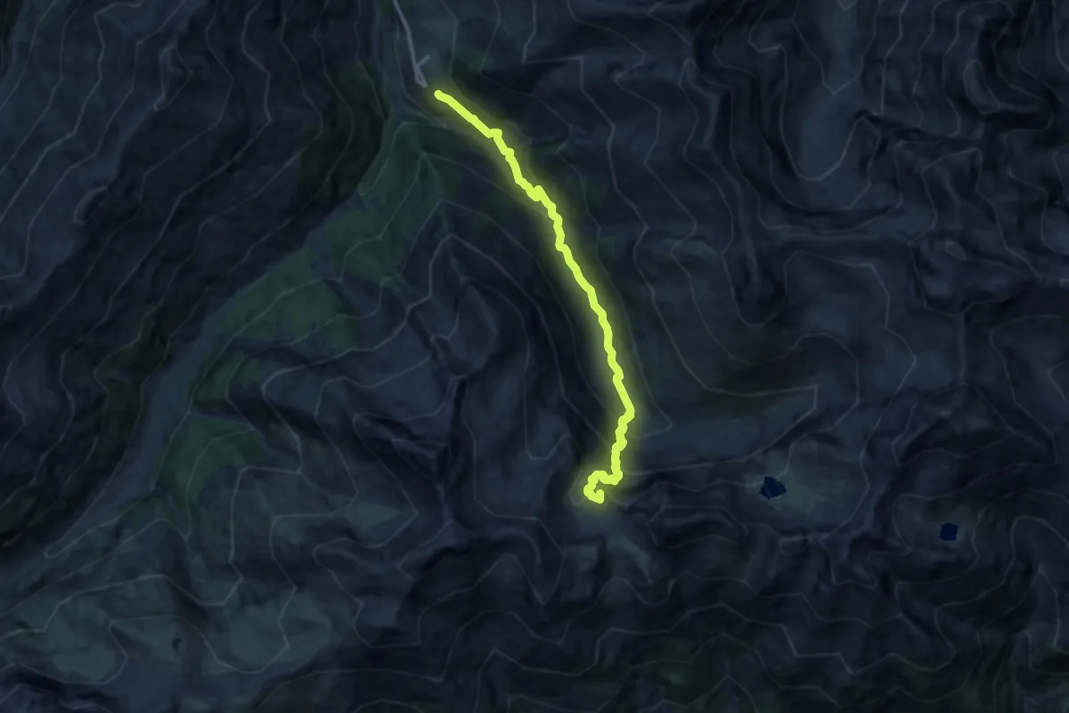
Demanding · Summit
Wanderweg 641
11.9 km · ↑ 841 m · 4 h 38 min
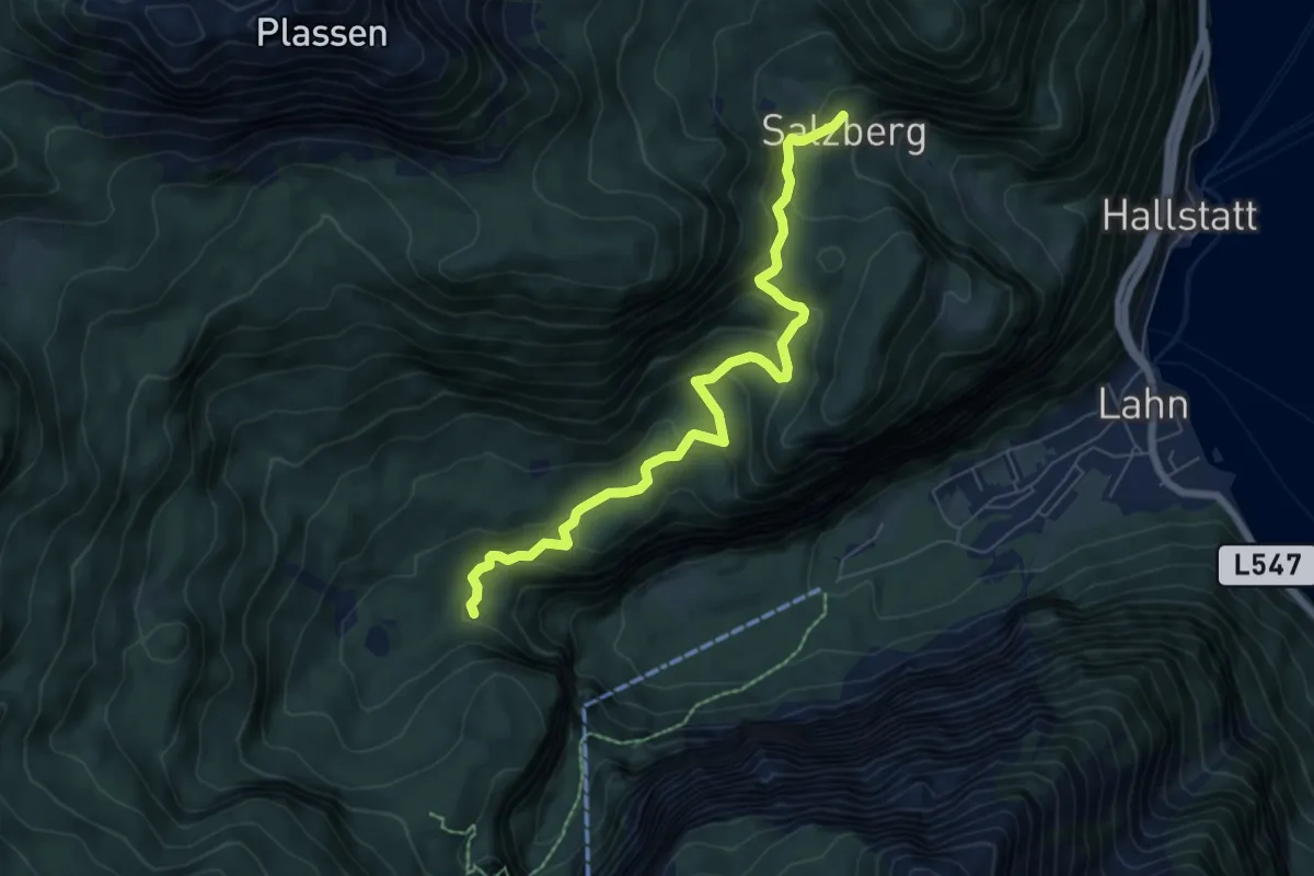
Medium · Trail
Wanderweg 641
6.8 km · ↑ 362 m · 2 h 24 min
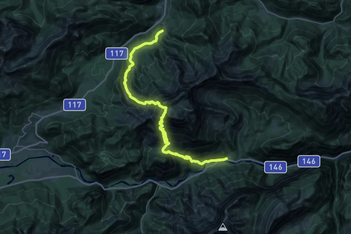
Expert · Trail
Wanderweg 641
15.7 km · ↑ 1431 m · 7 h
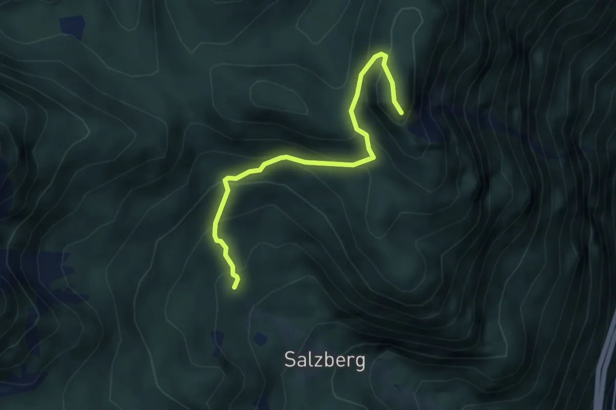
Medium · Summit
Wanderweg 642
4.1 km · ↑ 437 m · 1 h 55 min
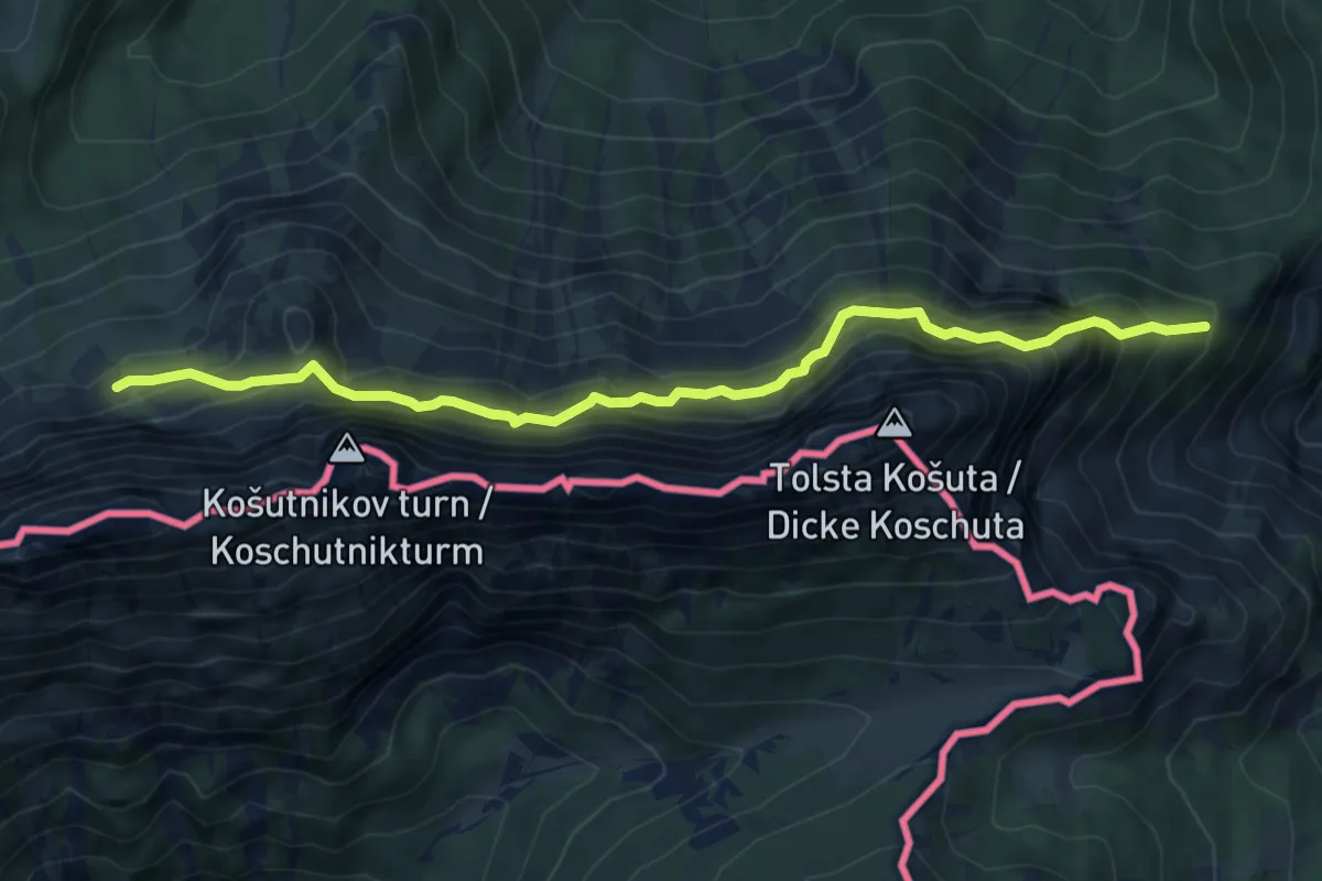
Demanding · Trail
Wanderweg 642 - Potoksattel
6.7 km · ↑ 673 m · 3 h 2 min
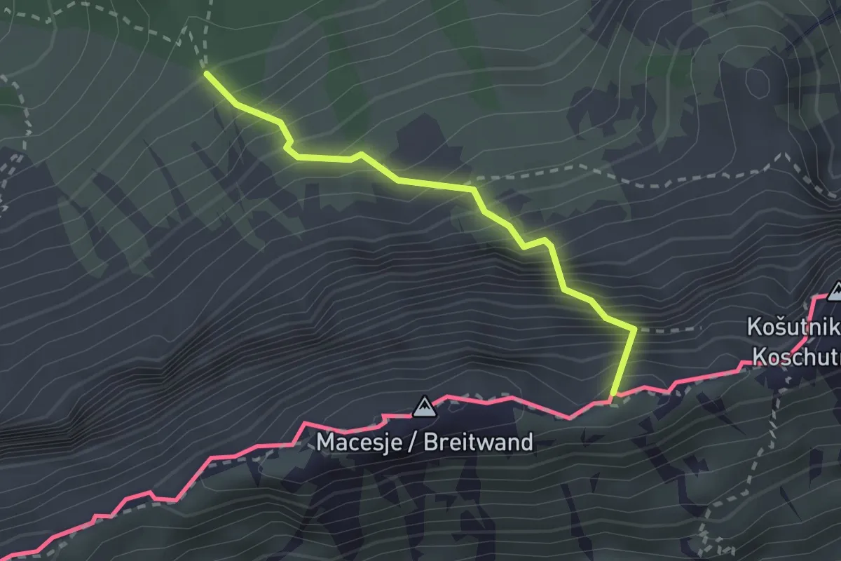
Medium · Summit
Wanderweg 643
2.1 km · ↑ 594 m · 1 h 47 min
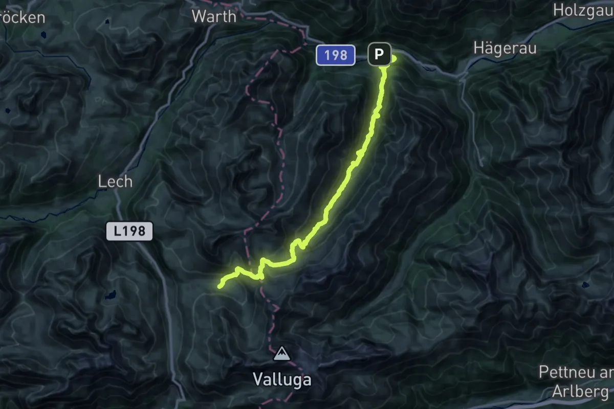
Demanding · Trail
Wanderweg 643
14.0 km · ↑ 1184 m · 5 h 42 min
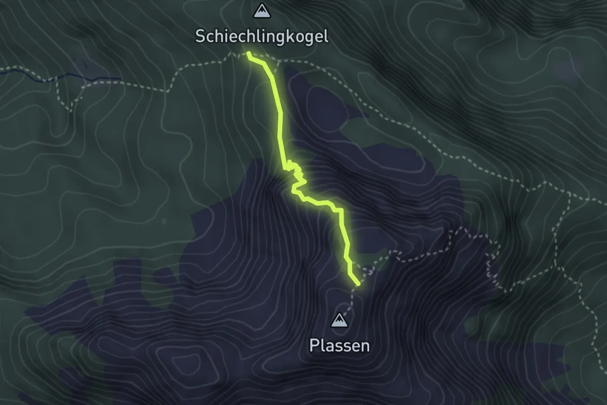
Medium · Trail
Wanderweg 643
2.5 km · ↑ 303 m · 1 h 15 min
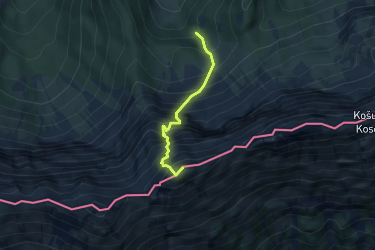
Expert · Summit
Wanderweg 643A
3.2 km · ↑ 841 m · 2 h 35 min
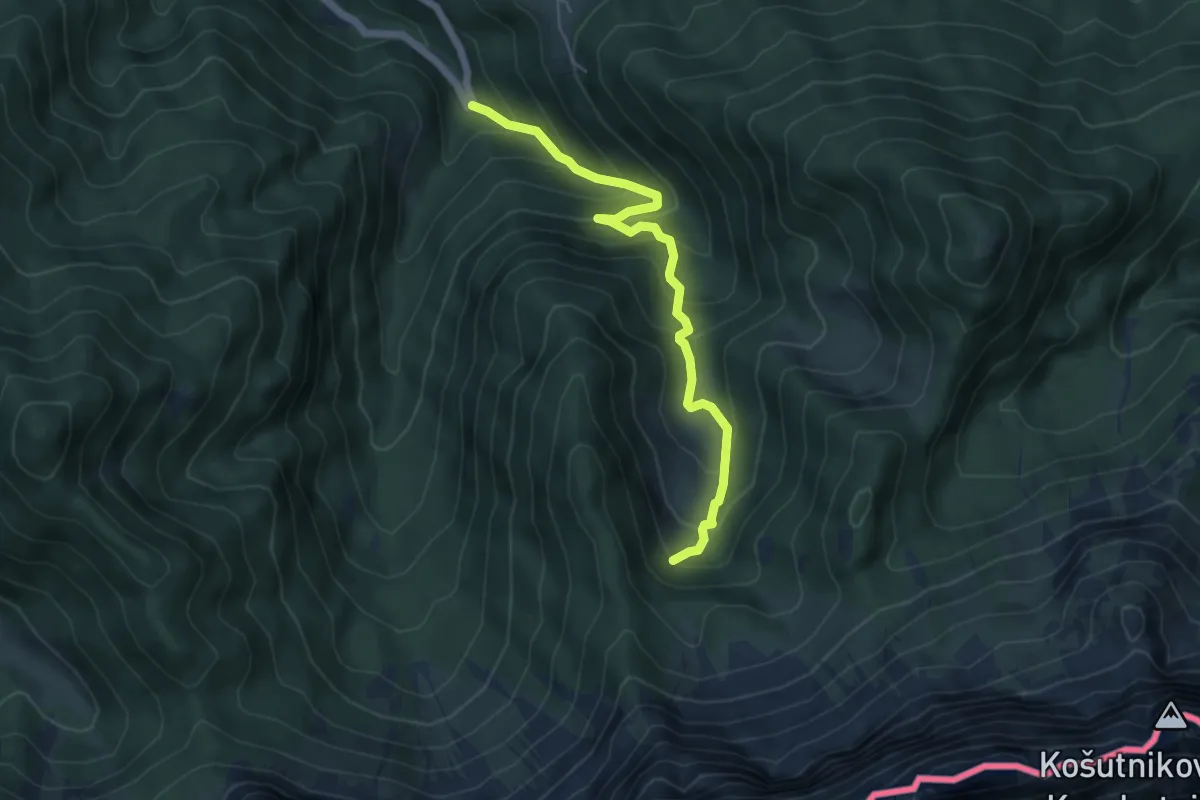
Medium · Cabin
Wanderweg 644
5.4 km · ↑ 472 m · 2 h 18 min
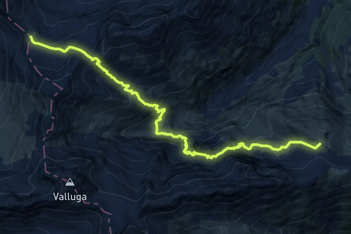
Expert · Summit
Wanderweg 644
14.8 km · ↑ 1409 m · 6 h 33 min
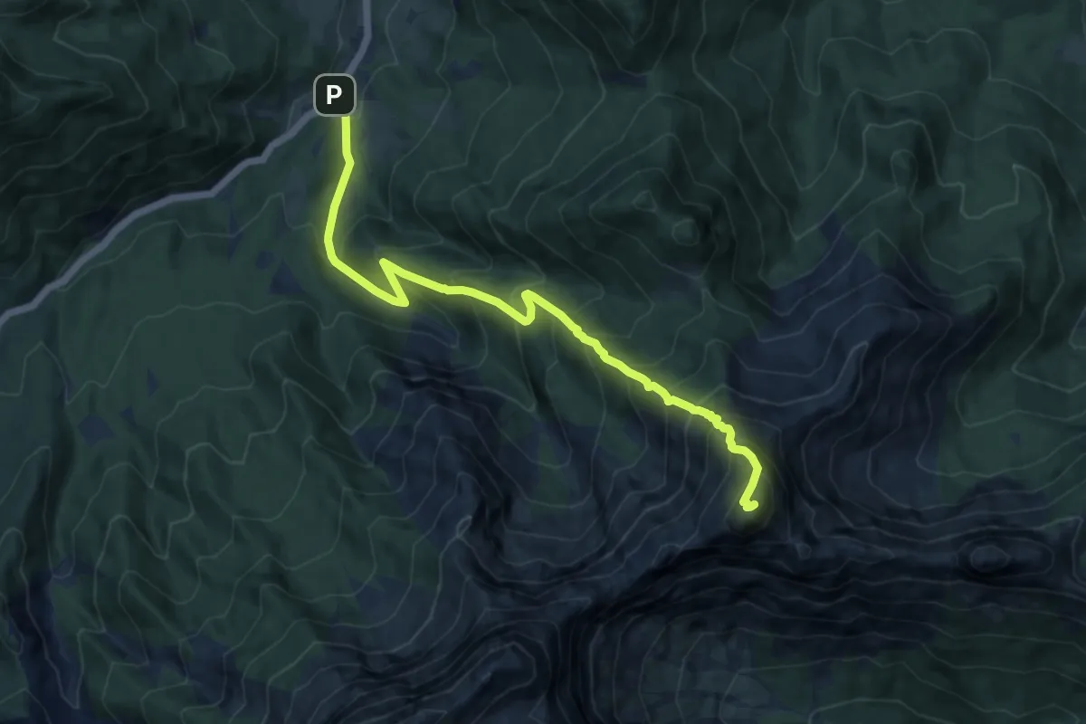
Expert · Summit
Wanderweg 644
10.9 km · ↑ 1364 m · 5 h 32 min
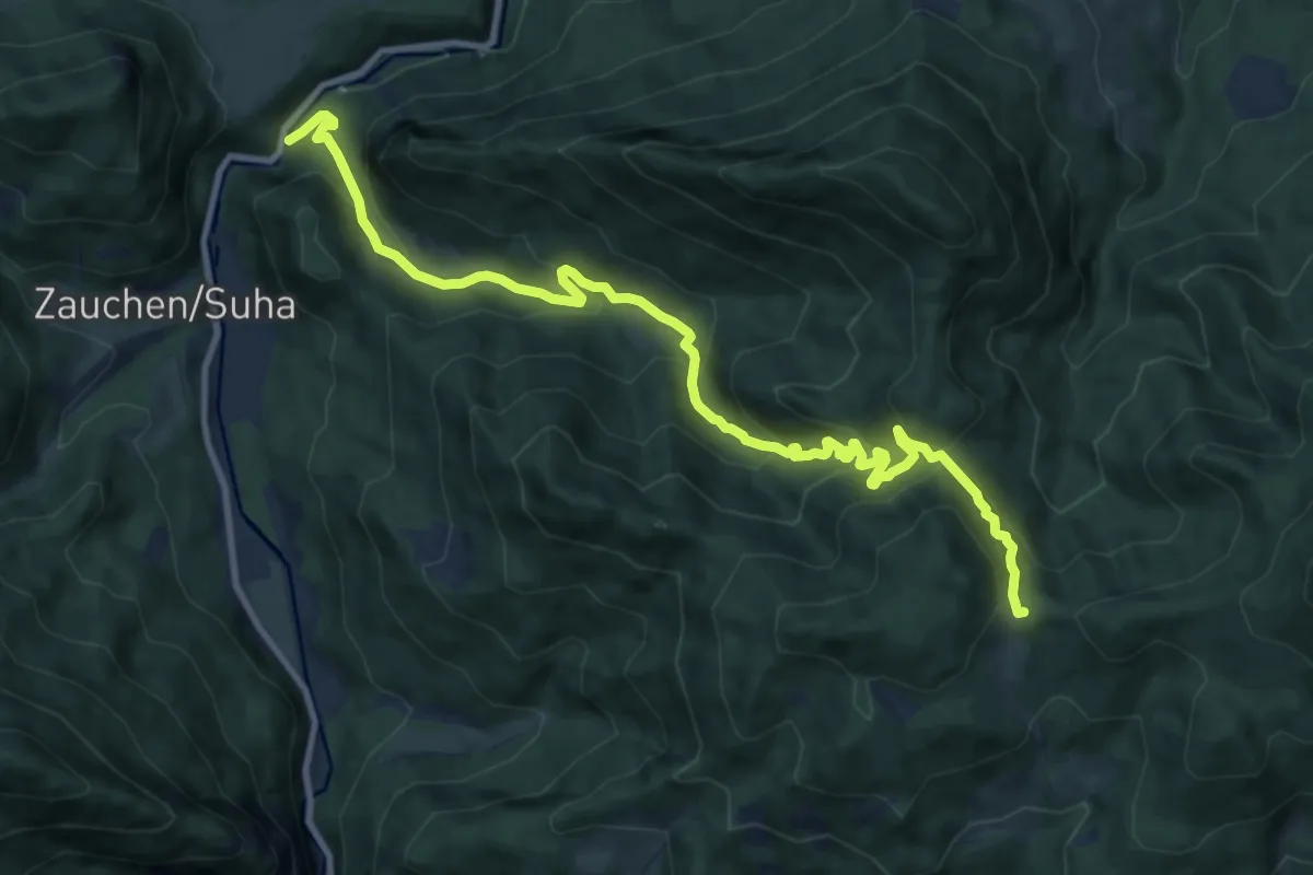
Medium · Trail
Wanderweg 645
12.0 km · ↑ 686 m · 4 h 20 min
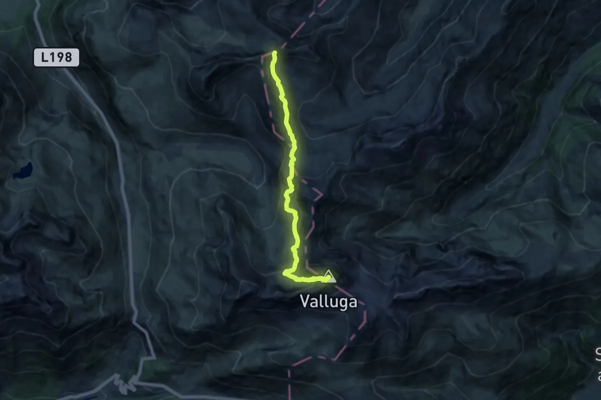
Expert · Summit
Wanderweg 645
11.6 km · ↑ 770 m · 4 h 24 min
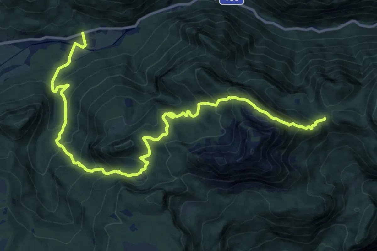
Medium · Trail
Wanderweg 645
10.5 km · ↑ 384 m · 3 h 46 min
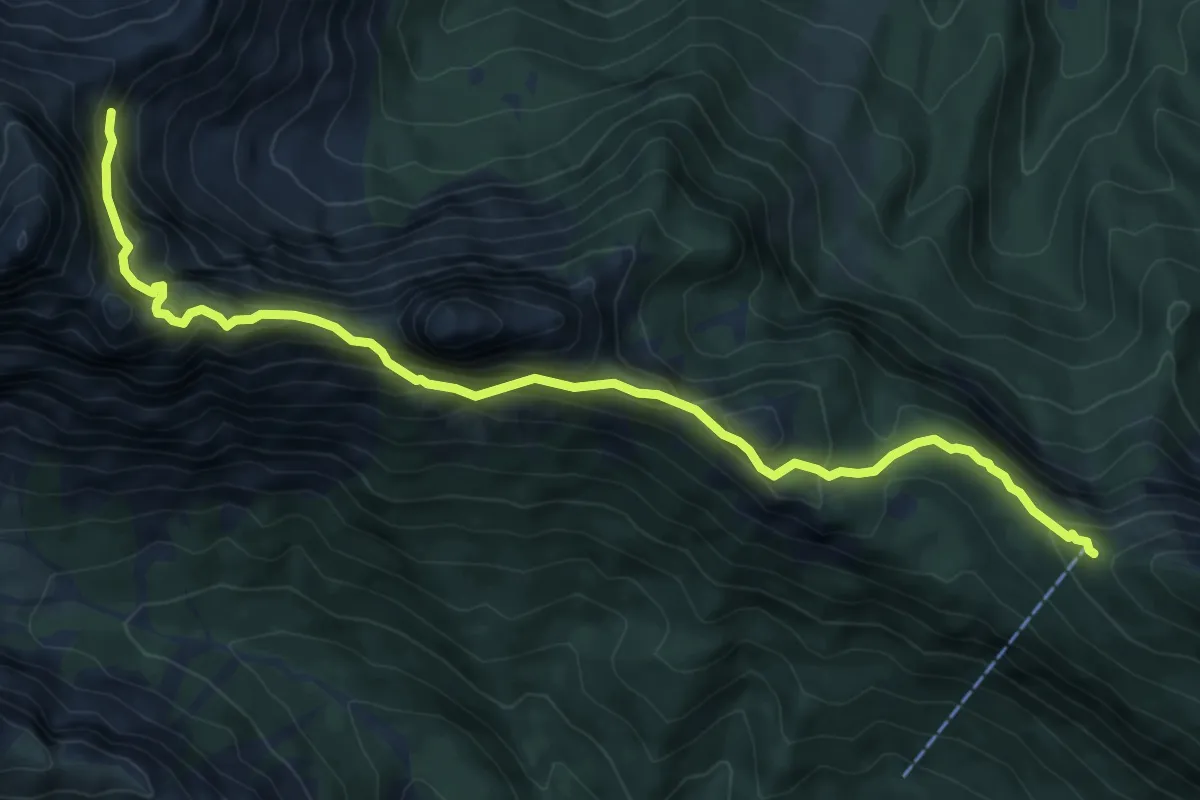
Expert · Cabin
Wanderweg 645
9.0 km · ↑ 811 m · 3 h 54 min
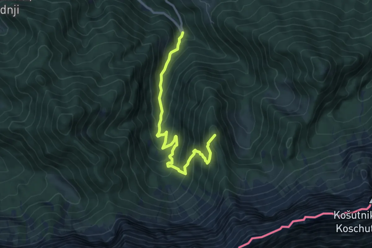
Medium · Summit
Wanderweg 646
7.7 km · ↑ 622 m · 3 h 10 min
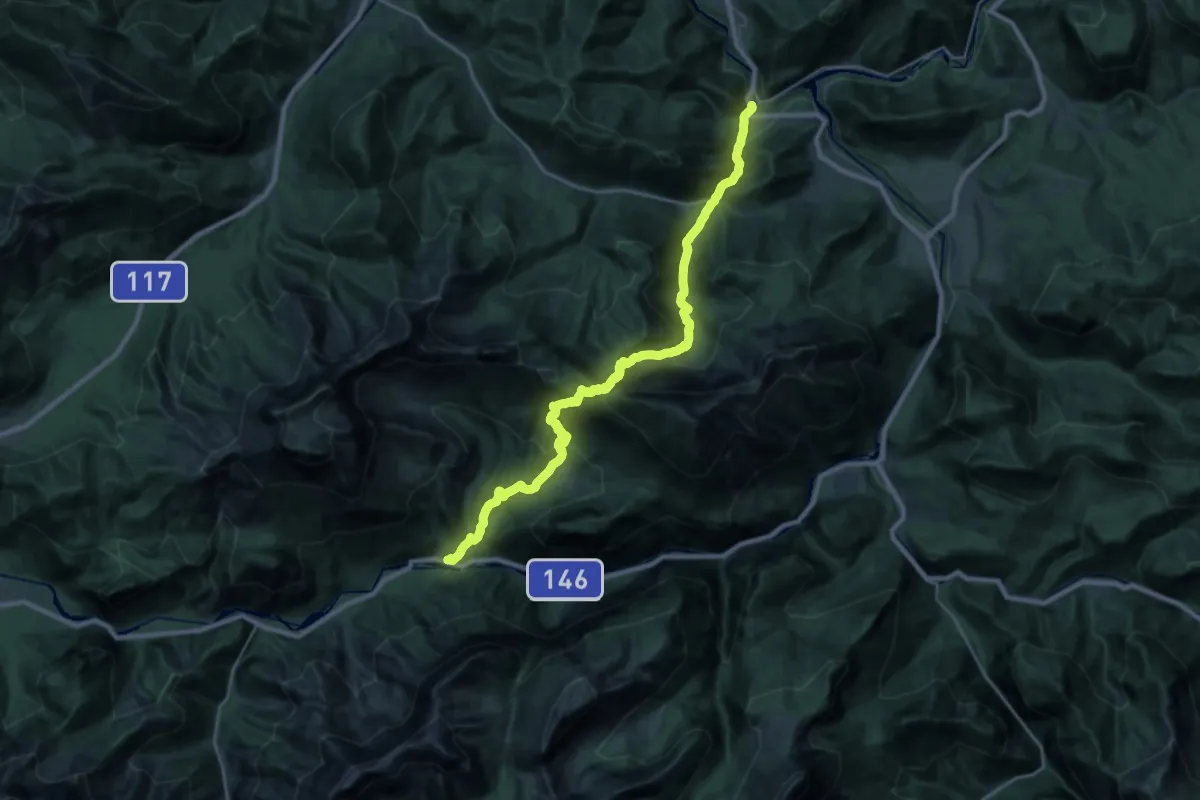
Demanding · Trail
Wanderweg 646
13.7 km · ↑ 1068 m · 5 h 40 min
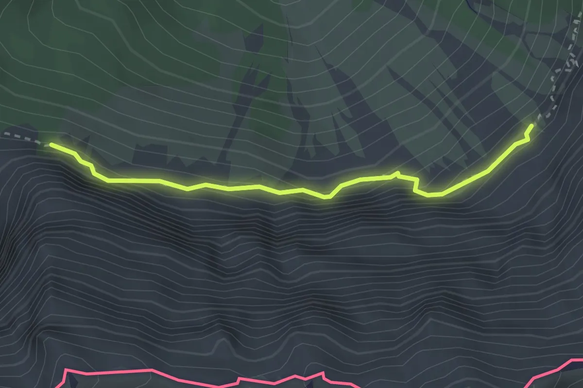
Expert · Trail
Wanderweg 647
2.6 km · ↑ 233 m · 1 h 7 min
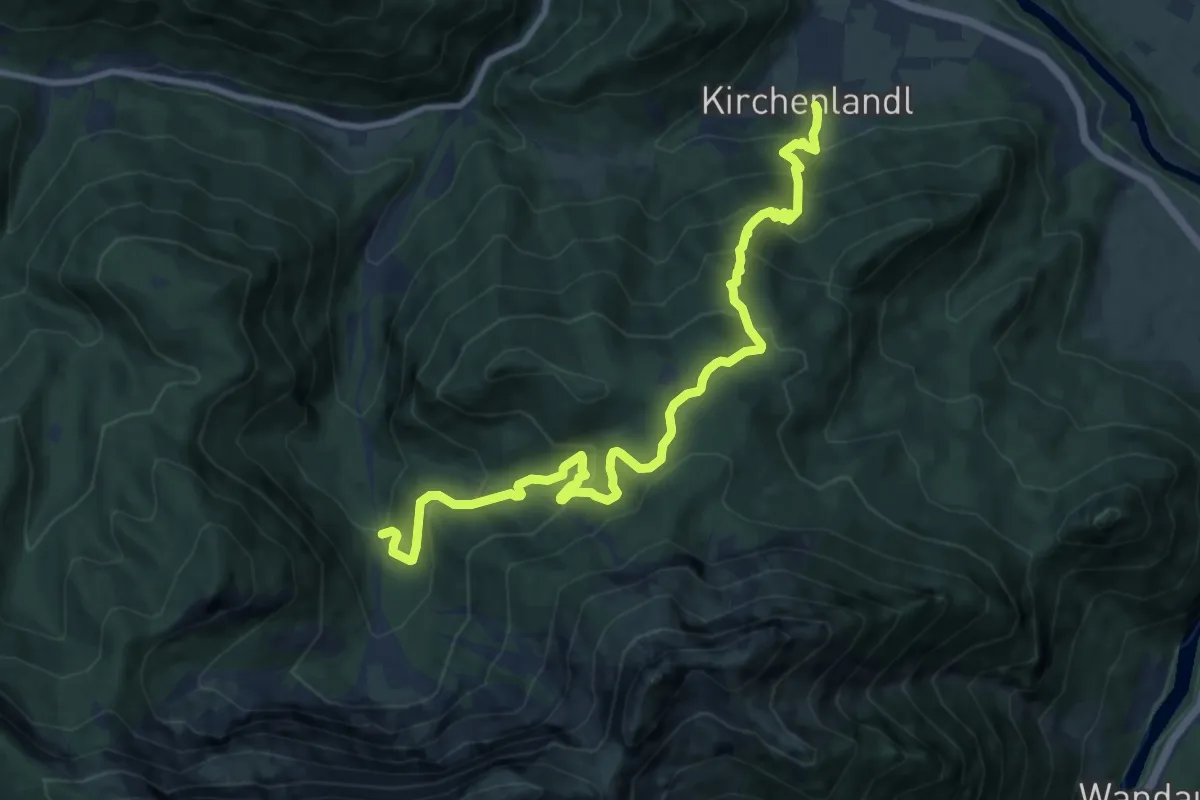
Demanding · Trail
Wanderweg 647
11.8 km · ↑ 830 m · 4 h 35 min
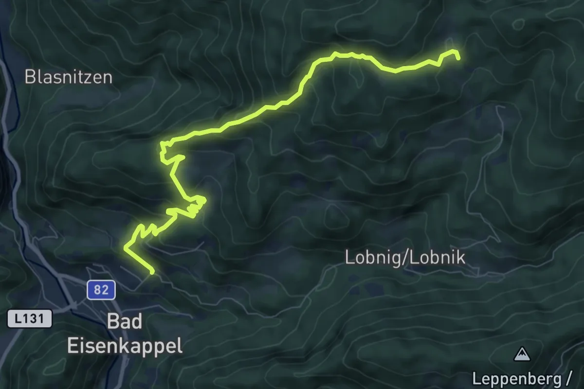
Medium · Trail
Wanderweg 648
9.4 km · ↑ 593 m · 3 h 30 min
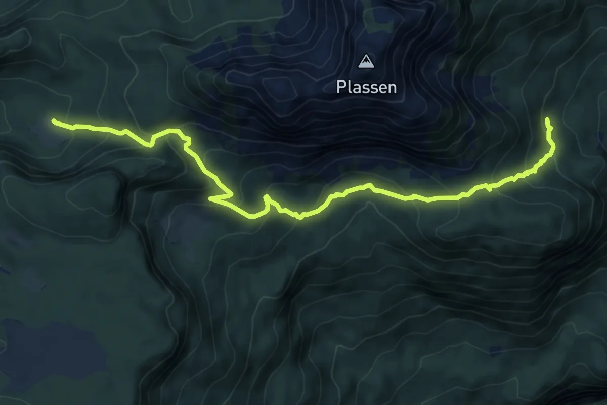
Medium · Cabin
Wanderweg 648
9.0 km · ↑ 571 m · 3 h 21 min
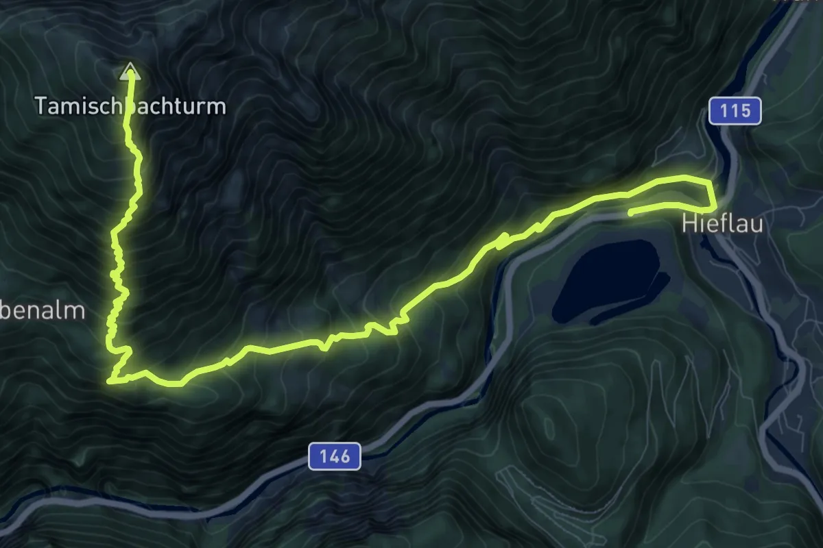
Demanding · Summit
Wanderweg 648
14.6 km · ↑ 1586 m · 6 h 53 min
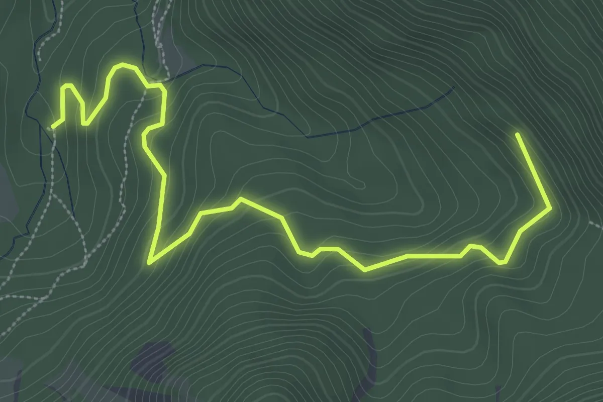
Easy · Trail
Wanderweg 649
4.3 km · ↑ 230 m · 1 h 31 min
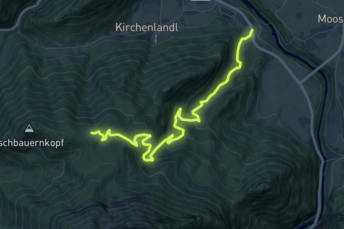
Medium · Trail
Wanderweg 649
10.6 km · ↑ 549 m · 3 h 42 min
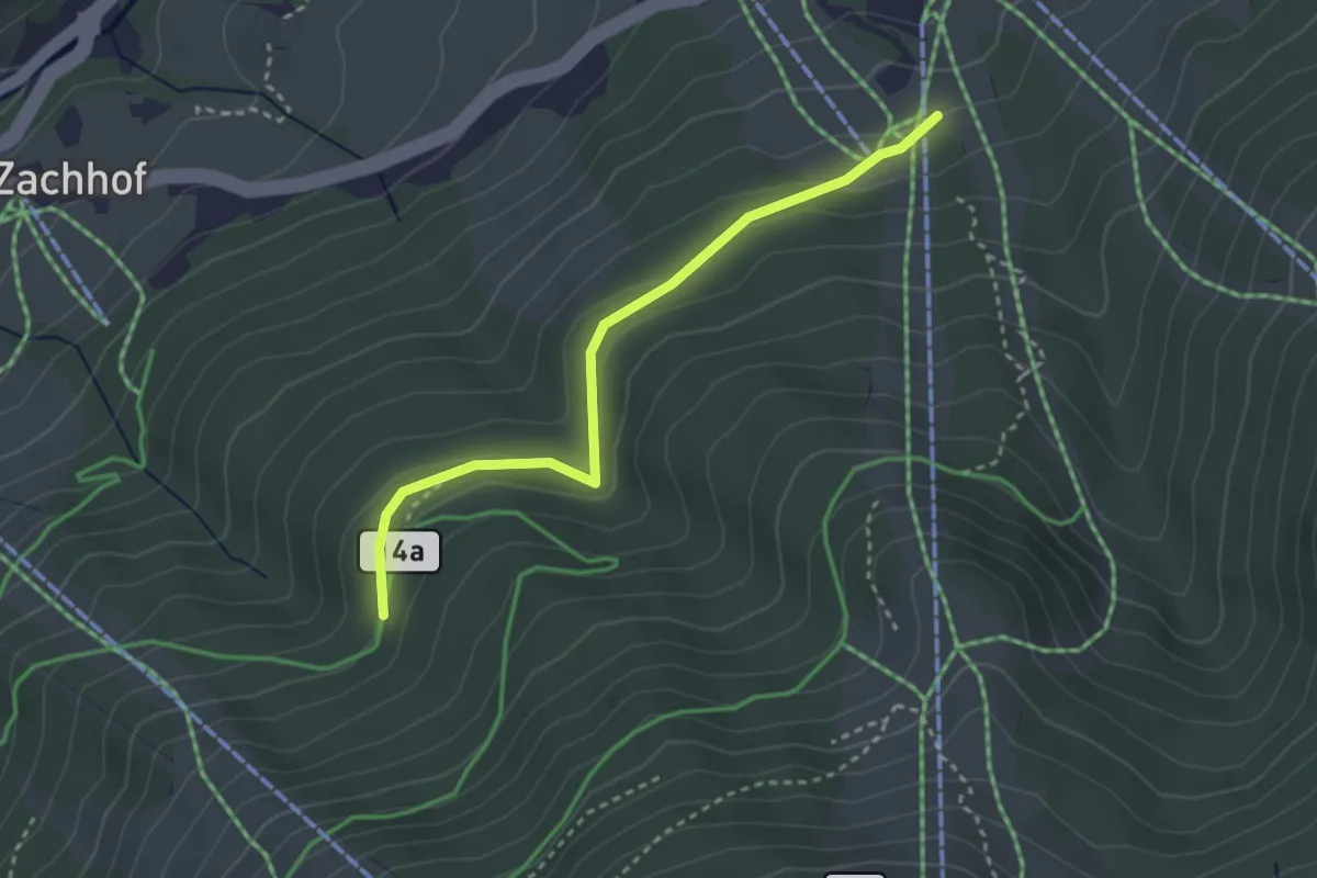
Easy · Trail
Wanderweg 64a
3.0 km · ↑ 74 m · 52 min
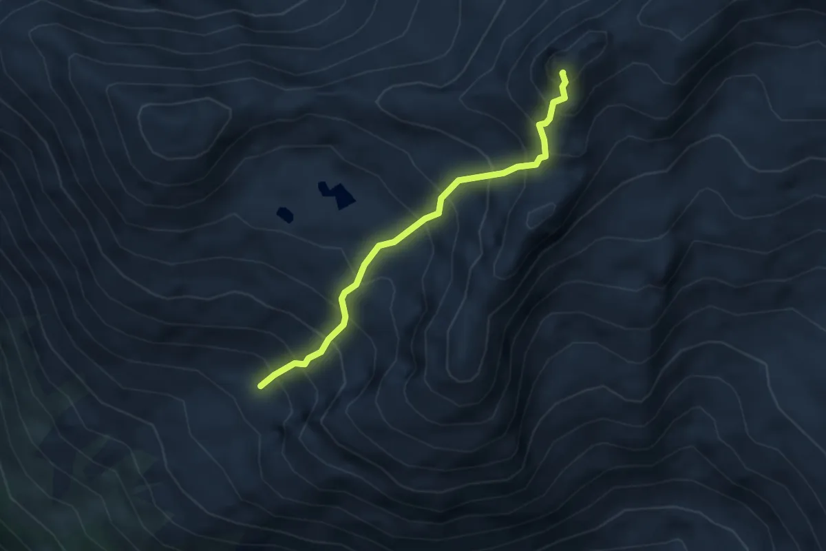
Medium · Summit
Wanderweg 64A
3.6 km · ↑ 618 m · 2 h 11 min
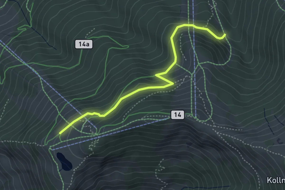
Medium · Cabin
Wanderweg 64b
4.3 km · ↑ 189 m · 1 h 25 min
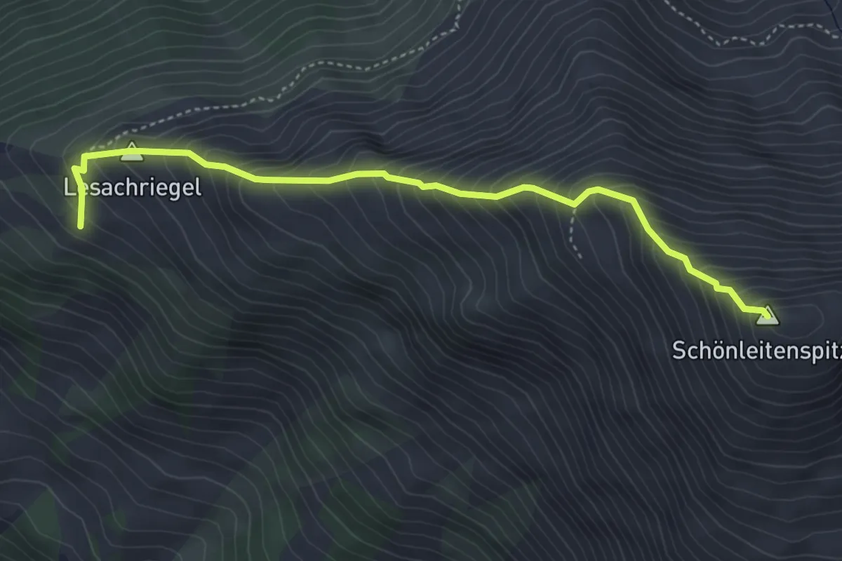
Medium · Summit
Wanderweg 65
4.4 km · ↑ 664 m · 2 h 29 min
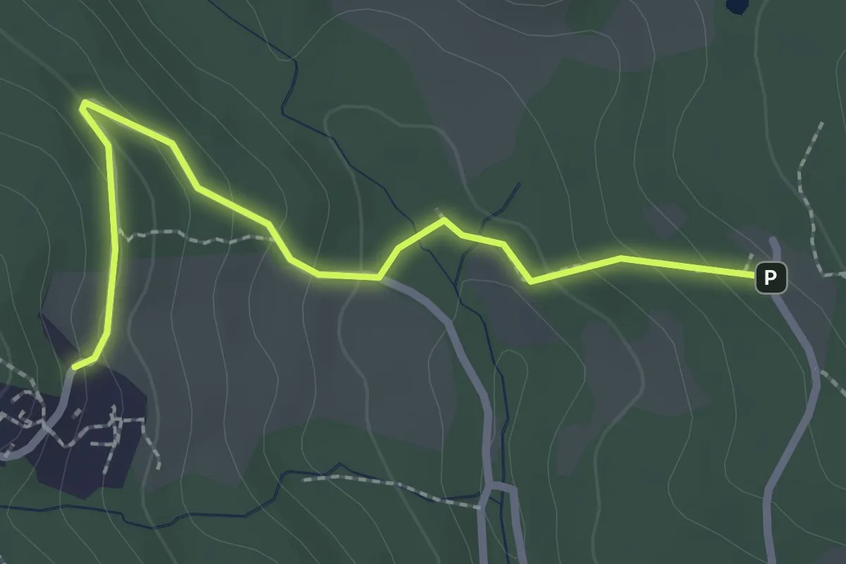
Easy · Trail
Wanderweg 65
2.4 km · ↑ 130 m · 51 min
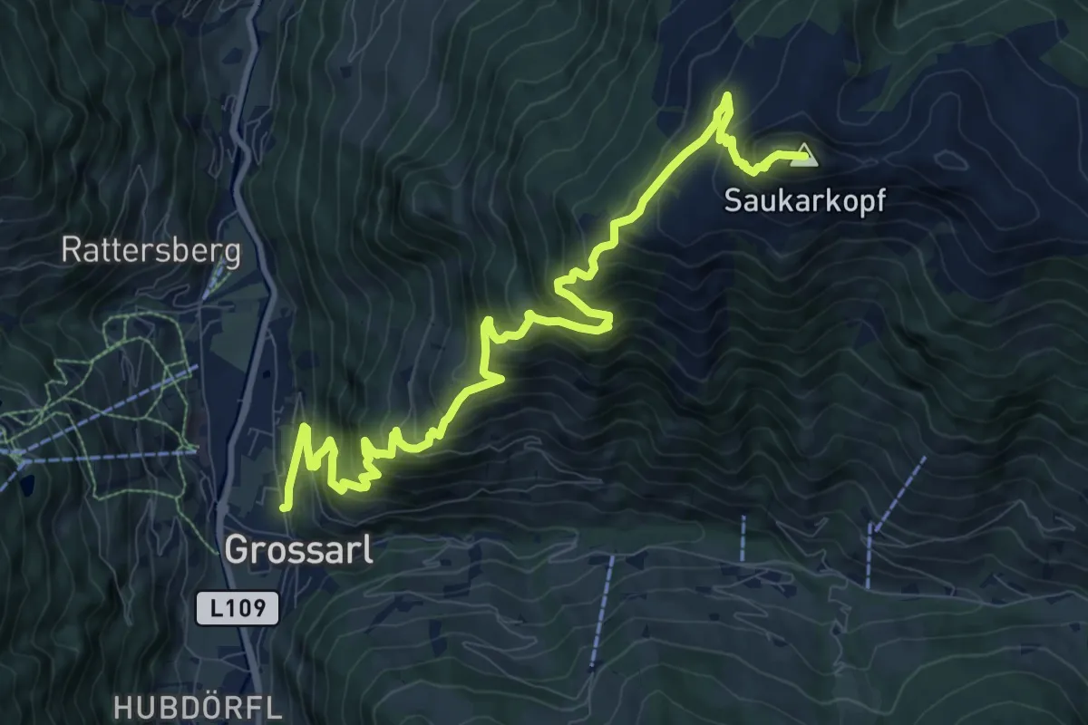
Demanding · Summit
Wanderweg 65
12.4 km · ↑ 1152 m · 5 h 25 min
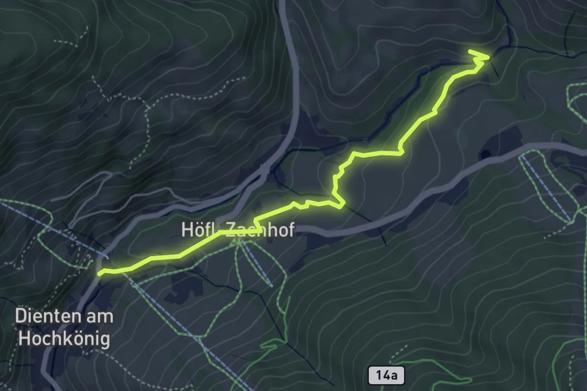
Easy · Trail
Wanderweg 65
4.9 km · ↑ 207 m · 1 h 36 min