Trails in Austria
9,777 hiking trails, each with its route, climb, walking time and grade.
All trails, page 173 of 204
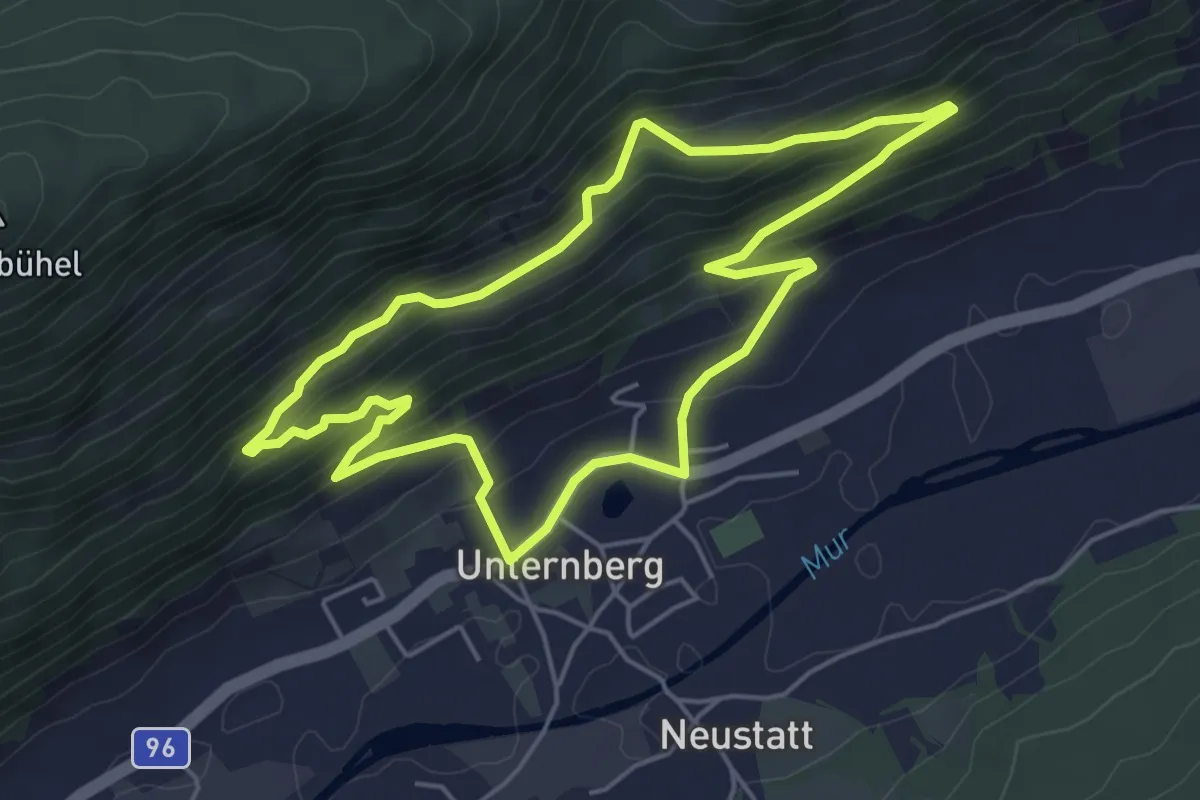
Easy · Trail
Wanderweg 85, Kühbarnrundweg, Unternberg
4.8 km · ↑ 220 m · 1 h 41 min
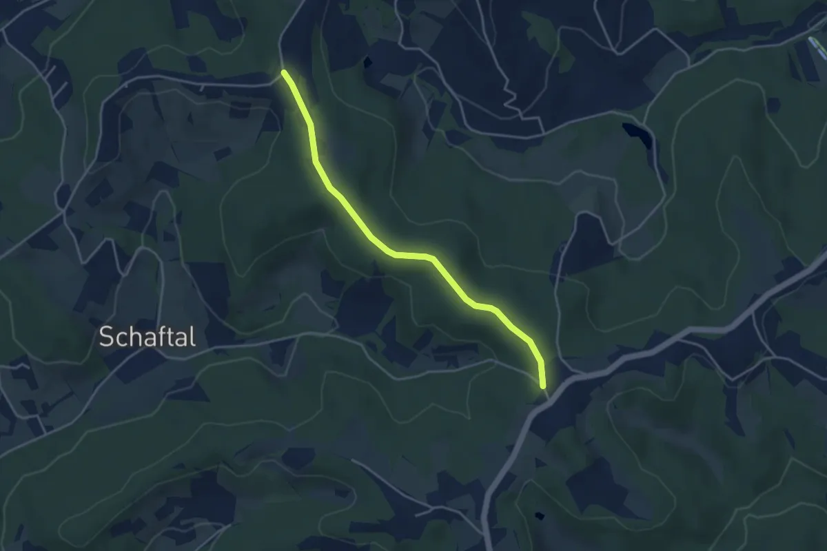
Easy · Trail
Wanderweg 86
3.7 km · ↑ 54 m · 59 min
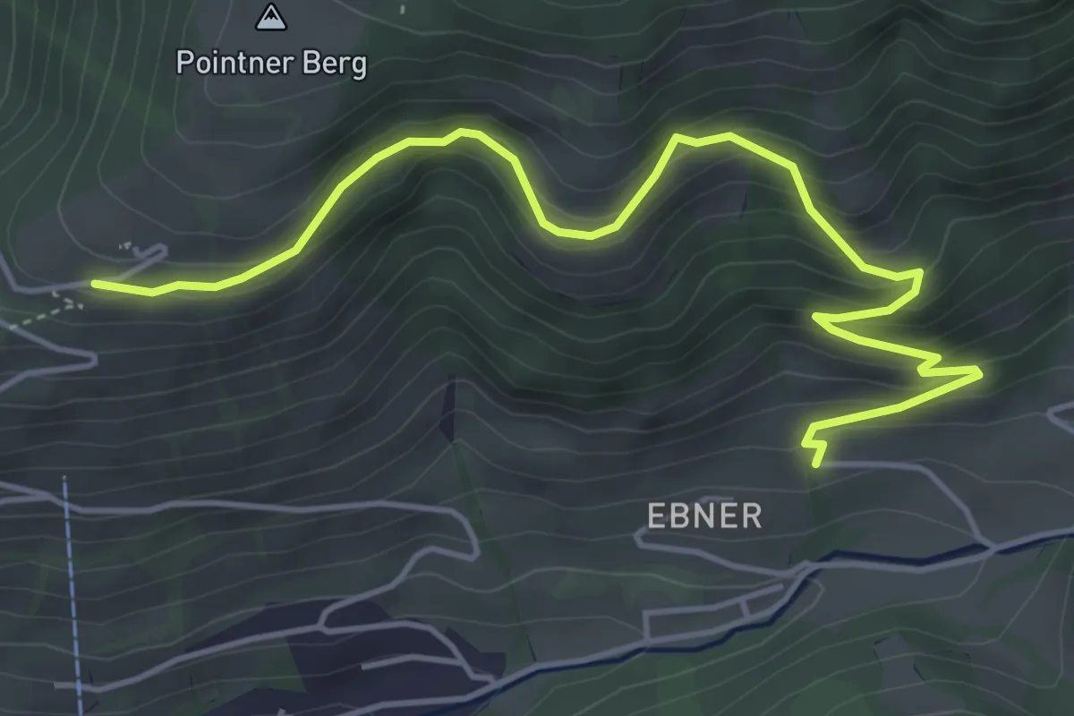
Easy · Trail
Wanderweg 86
5.3 km · ↑ 303 m · 1 h 55 min
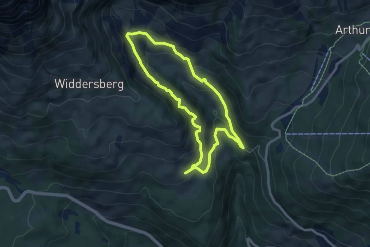
Medium · Trail
Wanderweg 86
4.9 km · ↑ 193 m · 1 h 38 min
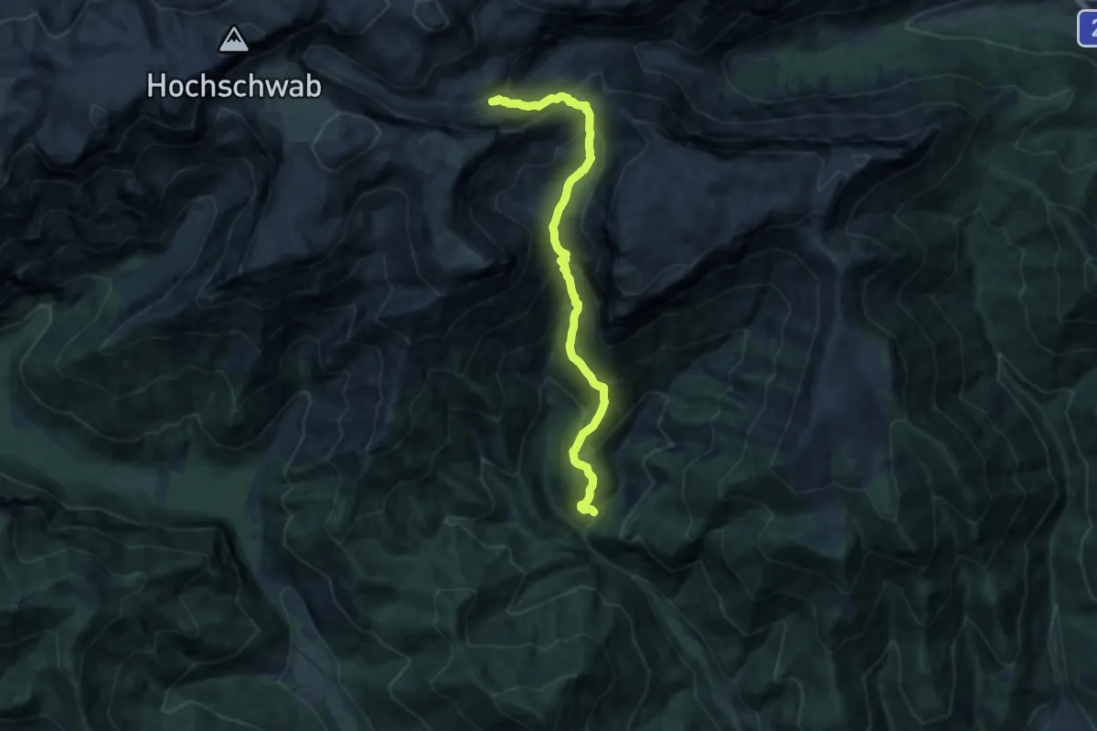
Demanding · Cabin
Wanderweg 860
13.0 km · ↑ 1012 m · 5 h 16 min
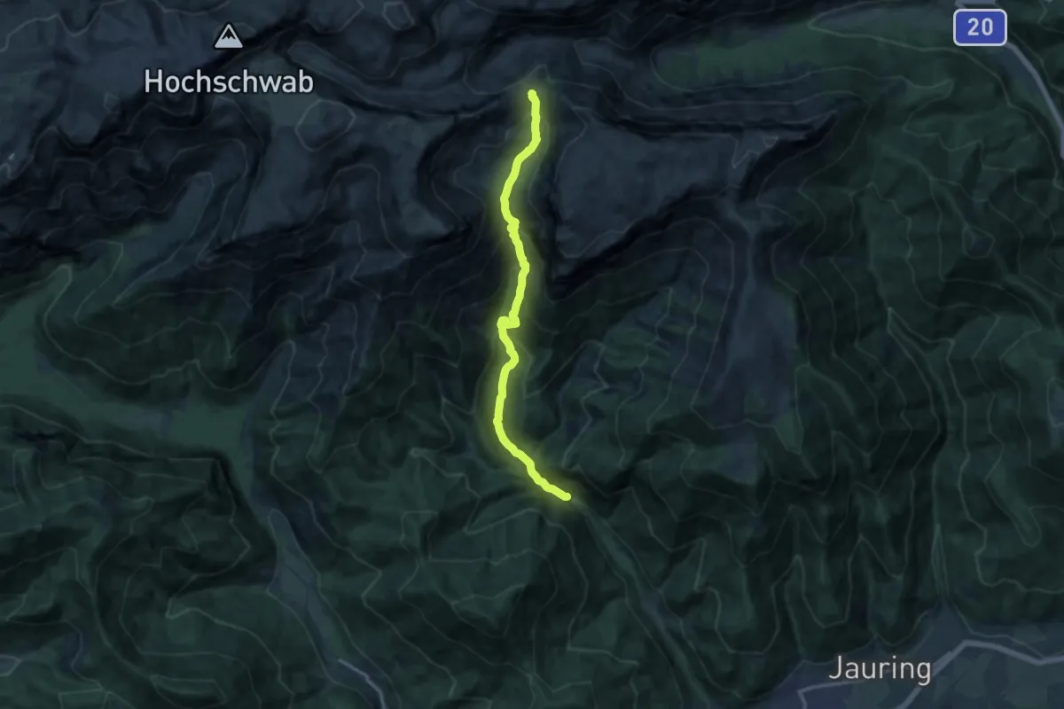
Demanding · Trail
Wanderweg 861
12.6 km · ↑ 907 m · 4 h 56 min
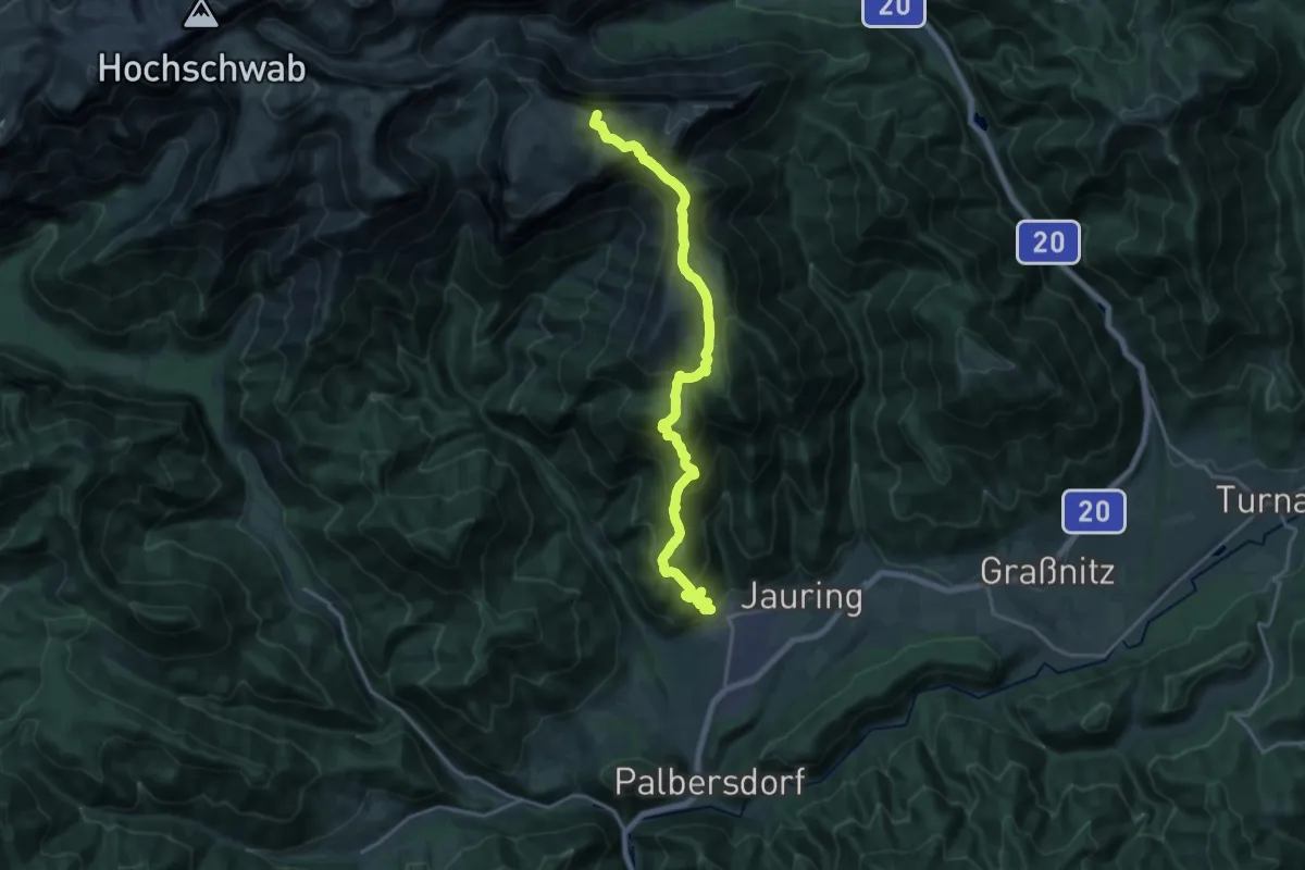
Demanding · Summit
Wanderweg 862
19.2 km · ↑ 1263 m · 7 h 17 min
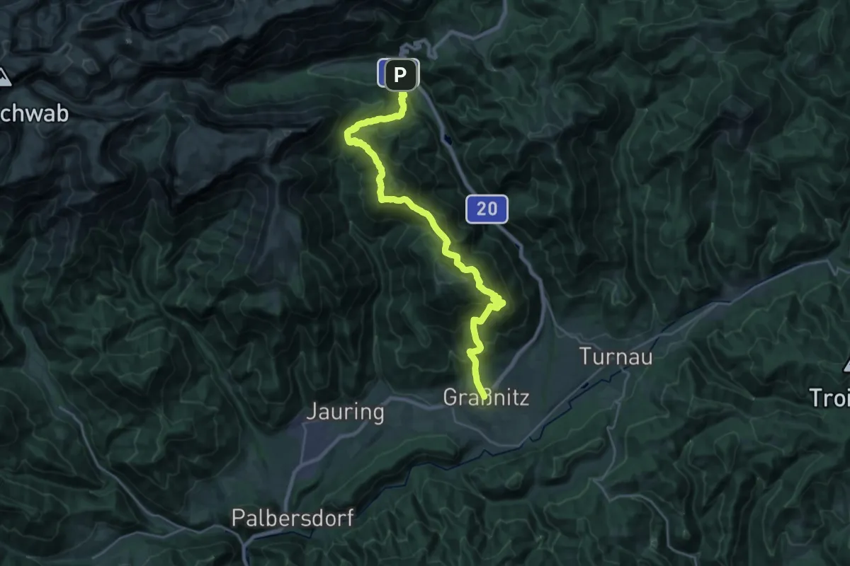
Medium · Trail
Wanderweg 863
12.7 km · ↑ 670 m · 4 h 41 min
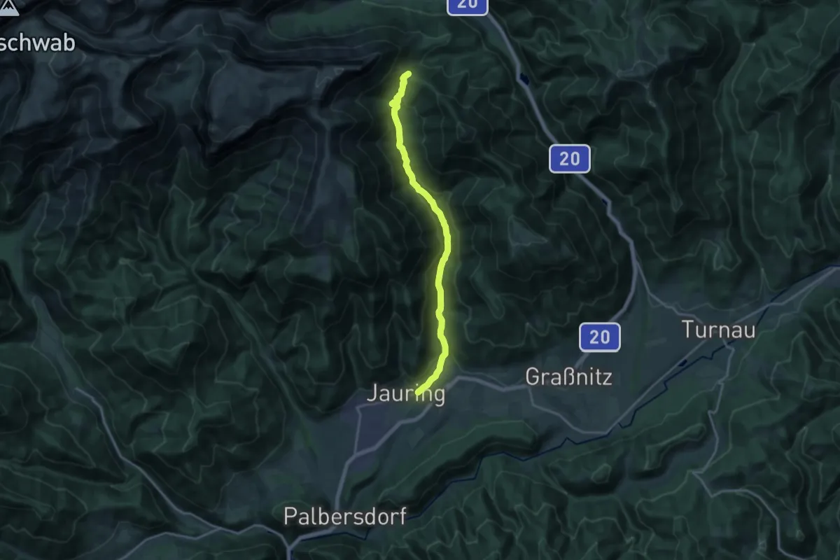
Medium · Trail
Wanderweg 864
15.2 km · ↑ 593 m · 4 h 53 min
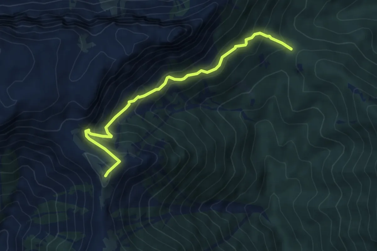
Medium · Trail
Wanderweg 865
6.0 km · ↑ 485 m · 2 h 29 min
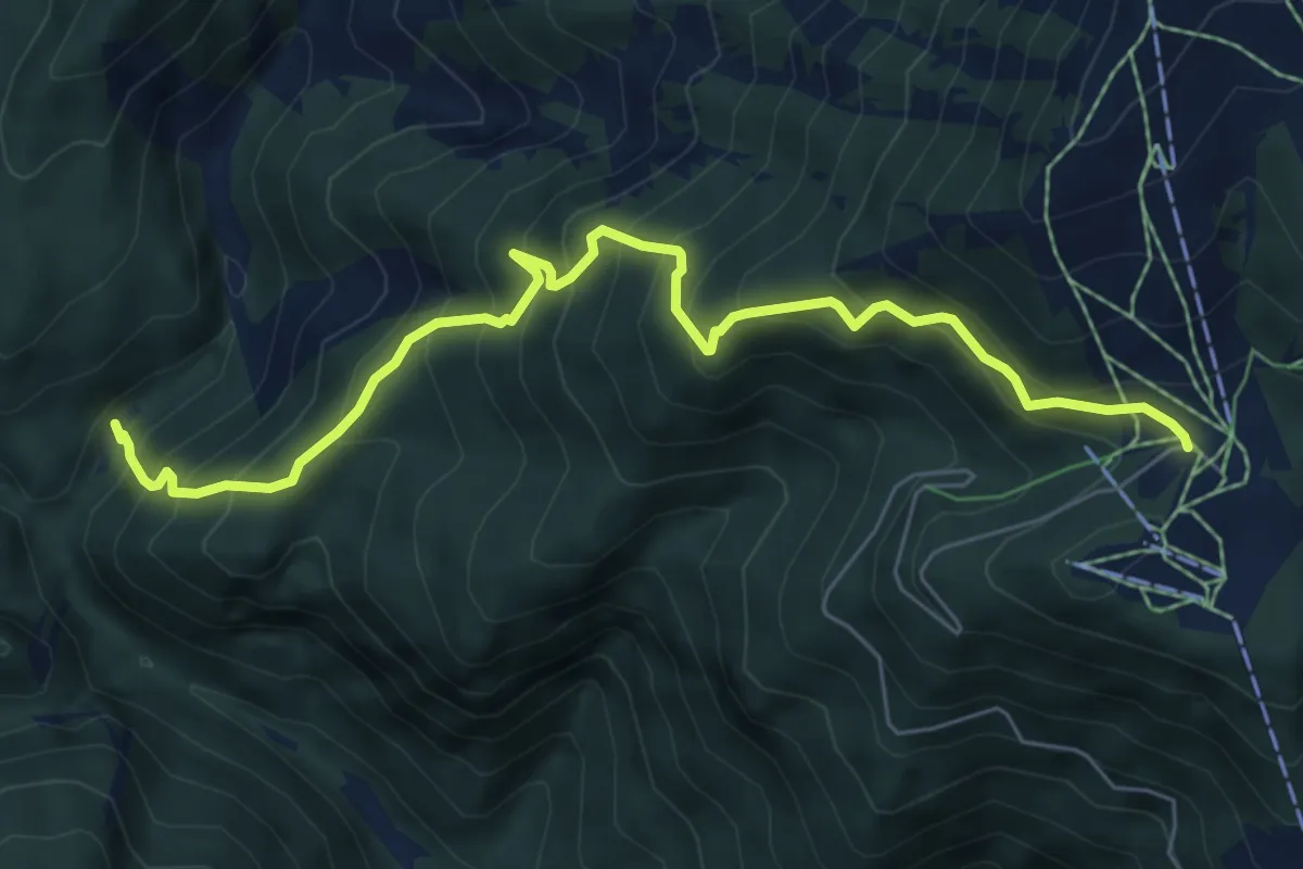
Medium · Trail
Wanderweg 866
7.1 km · ↑ 751 m · 3 h 18 min
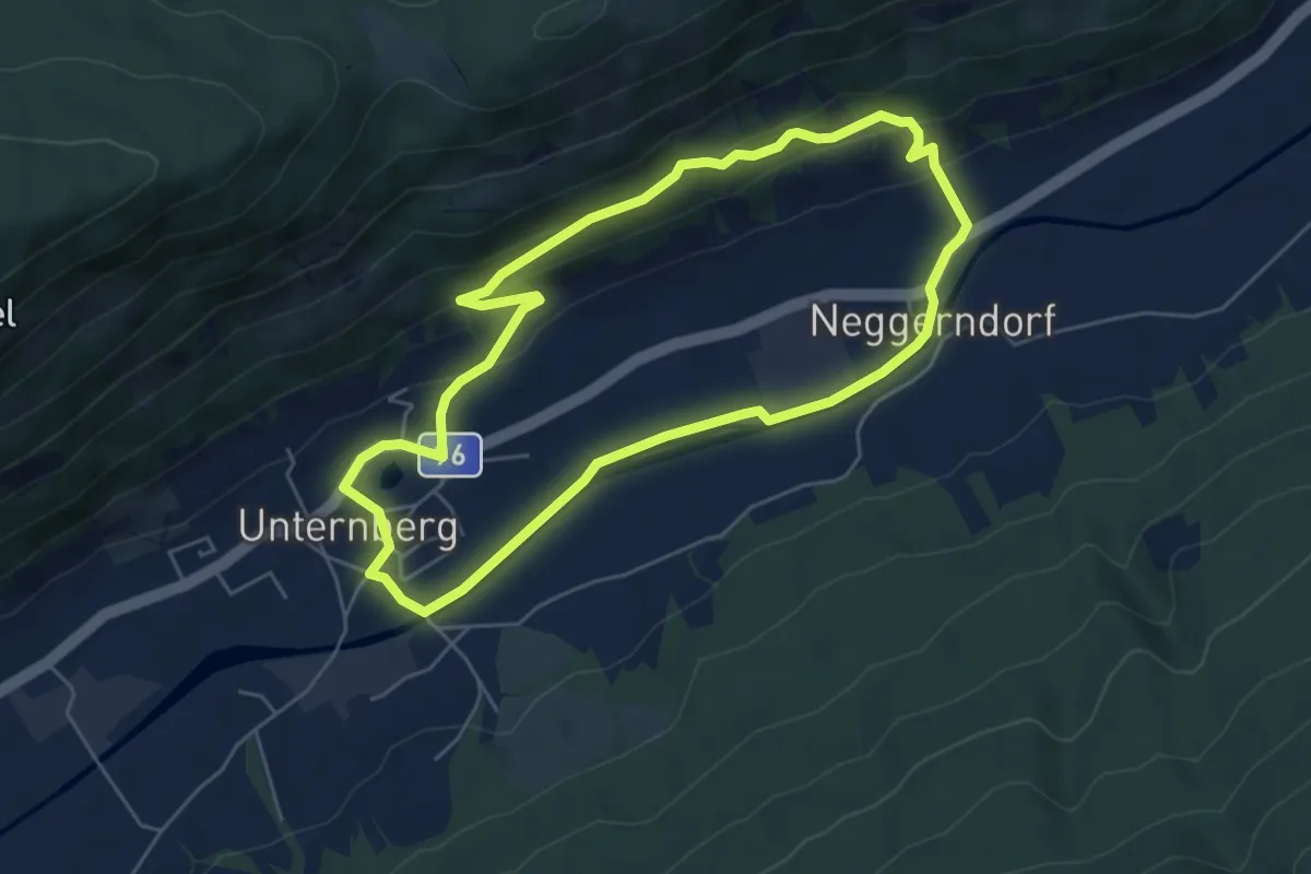
Easy · Trail
Wanderweg 86, Lärchensteigsteigrundweg, Unternberg
5.3 km · ↑ 131 m · 1 h 36 min
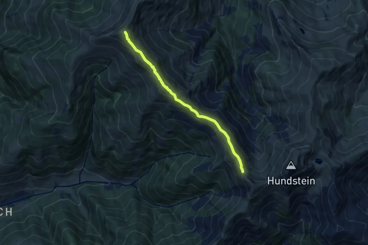
Medium · Summit
Wanderweg 87
8.5 km · ↑ 606 m · 3 h 19 min
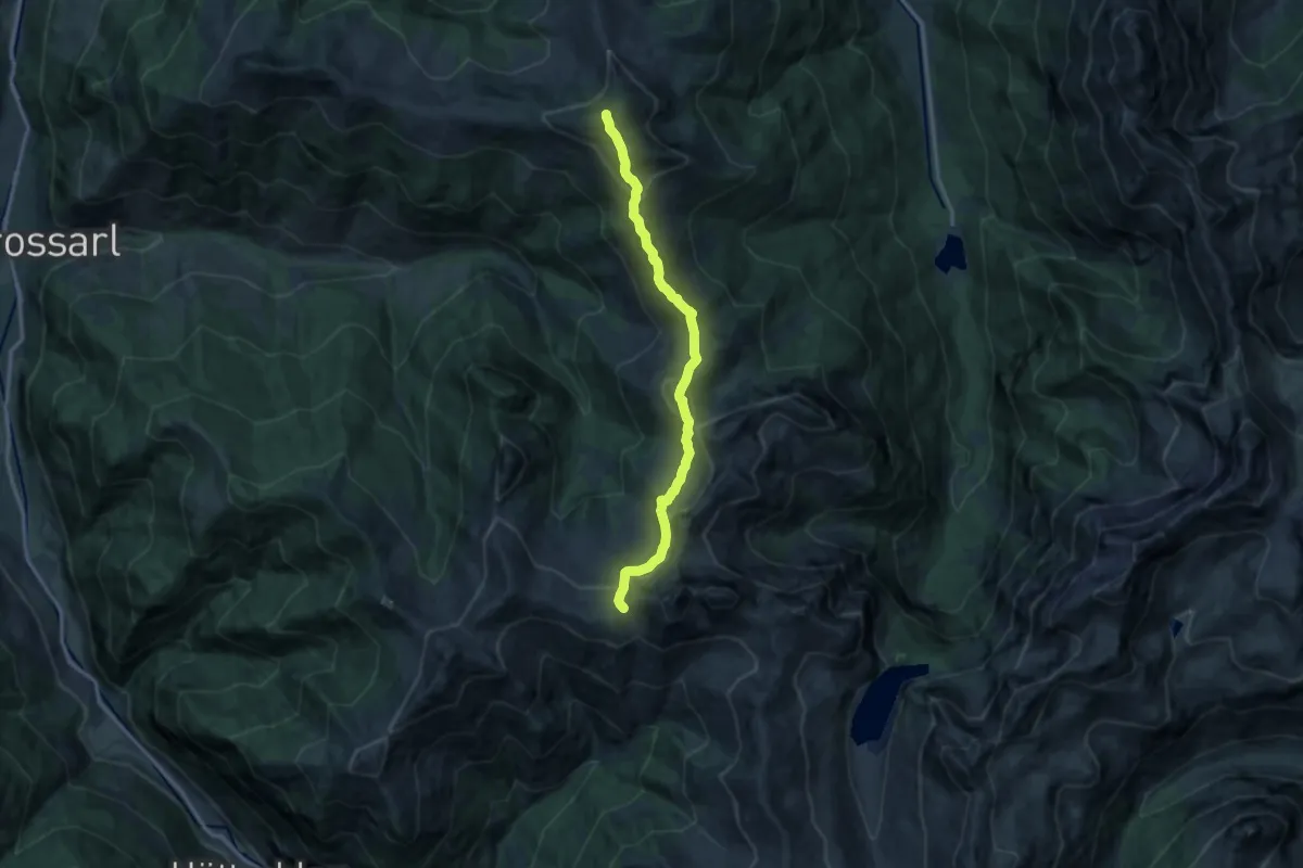
Medium · Summit
Wanderweg 87
12.5 km · ↑ 778 m · 4 h 38 min
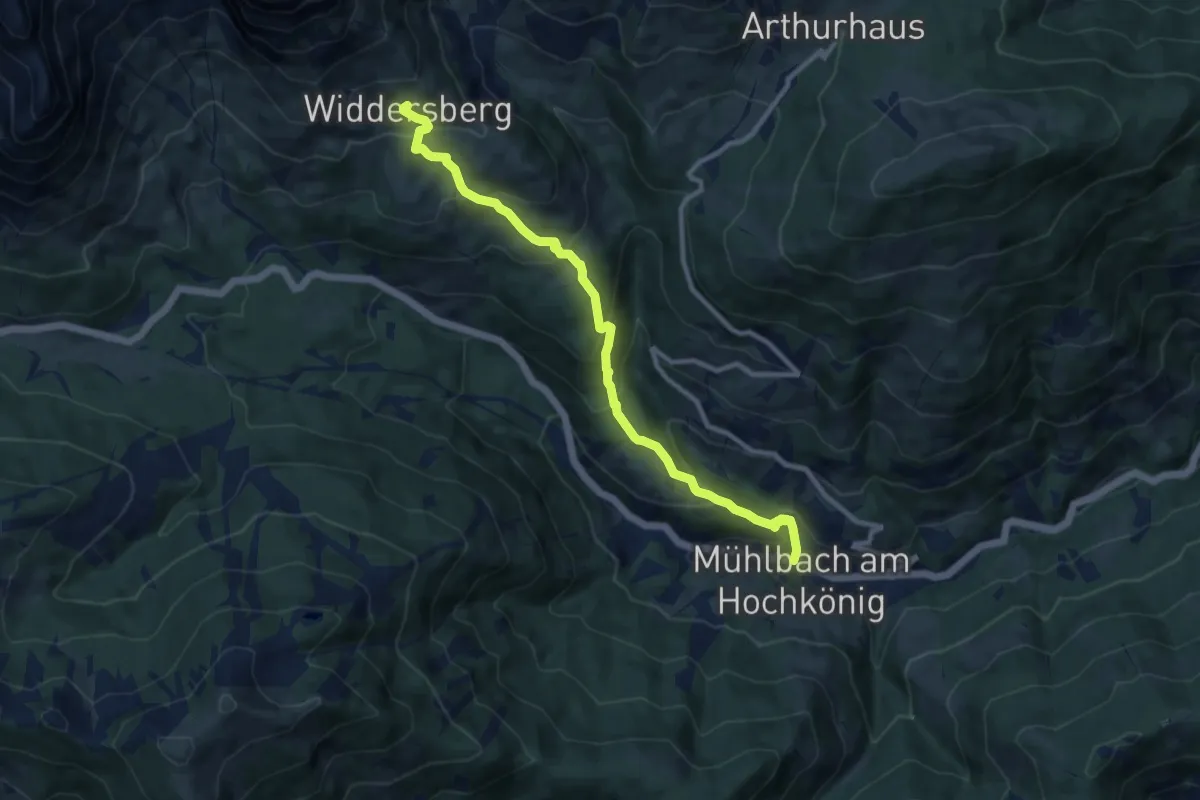
Medium · Cabin
Wanderweg 87
9.9 km · ↑ 679 m · 3 h 49 min
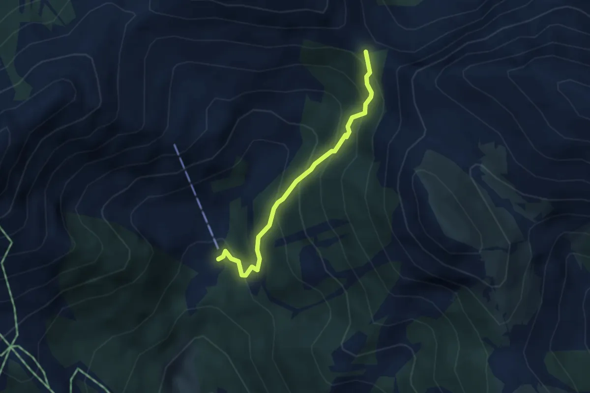
Medium · Trail
Wanderweg 870
3.0 km · ↑ 347 m · 1 h 27 min
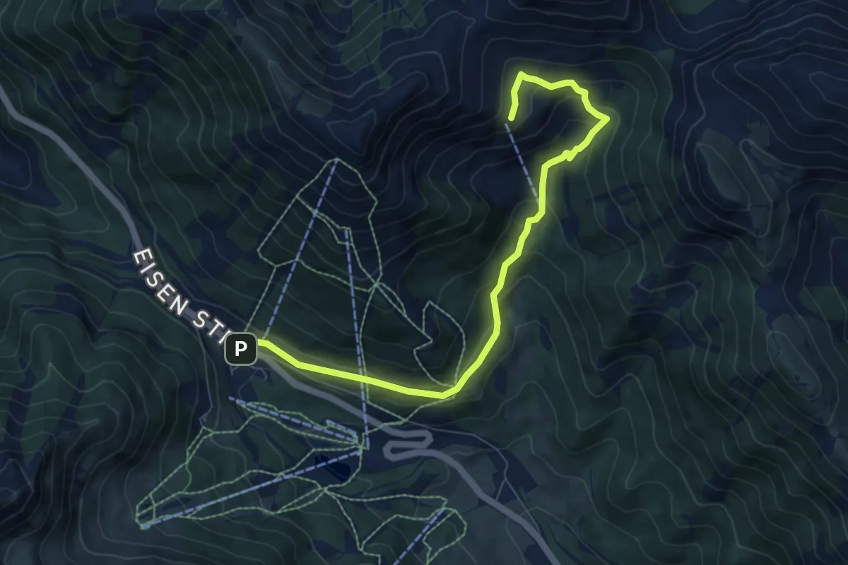
Medium · Cabin
Wanderweg 871
8.1 km · ↑ 382 m · 2 h 44 min
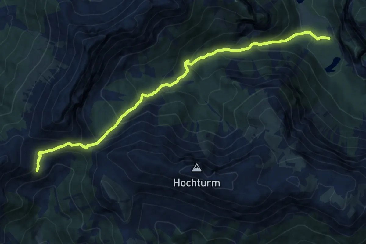
Demanding · Cabin
Wanderweg 872
12.2 km · ↑ 920 m · 4 h 53 min
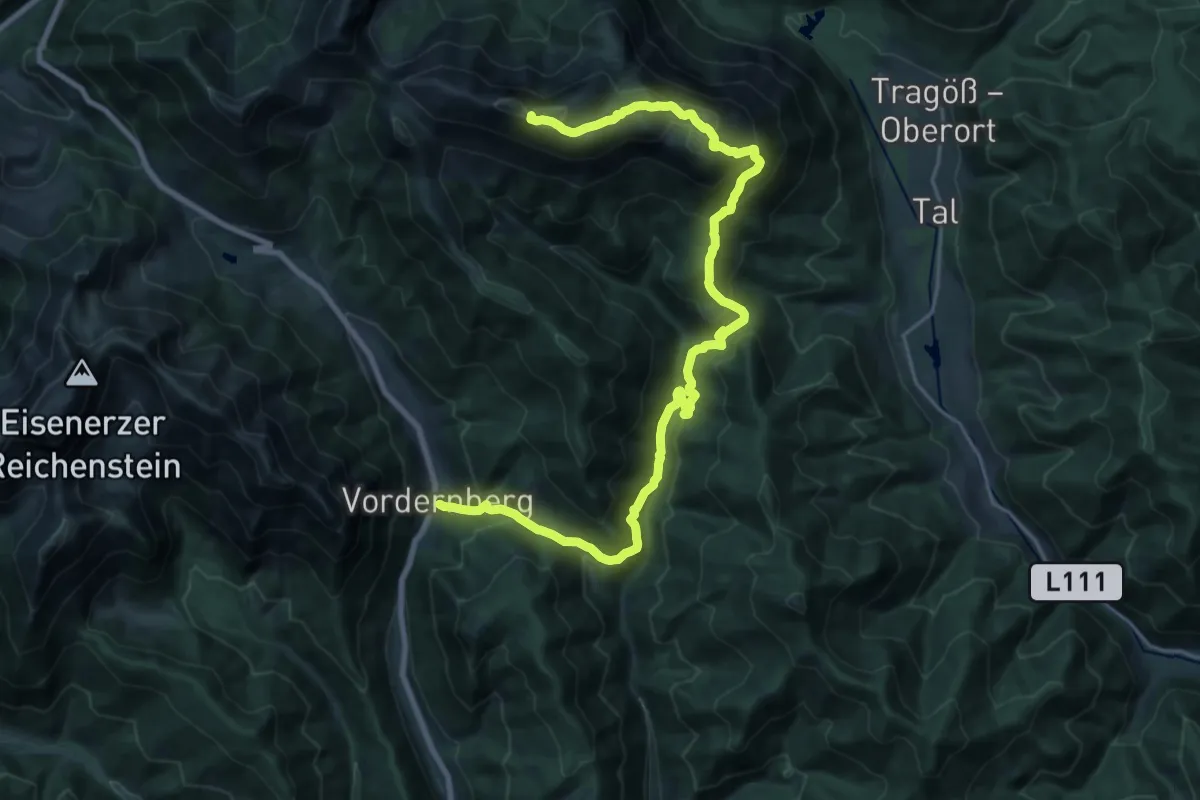
Demanding · Summit
Wanderweg 873
26.9 km · ↑ 1591 m · 9 h 47 min
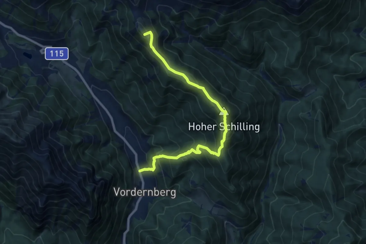
Demanding · Summit
Wanderweg 874
12.6 km · ↑ 1011 m · 5 h 10 min
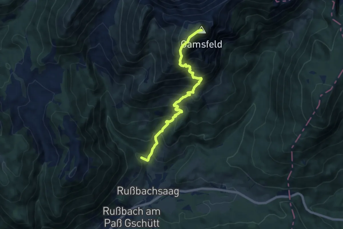
Demanding · Summit
Wanderweg 875
9.3 km · ↑ 1173 m · 4 h 44 min
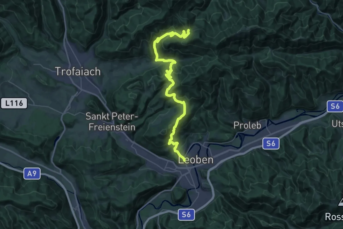
Demanding · Trail
Wanderweg 876
15.3 km · ↑ 1099 m · 5 h 52 min
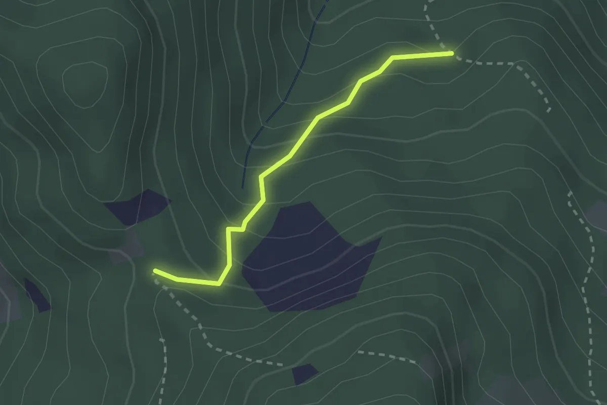
Easy · Trail
Wanderweg 876
2.0 km · ↑ 176 m · 52 min
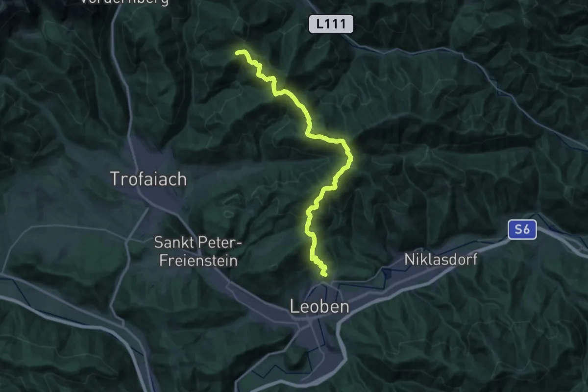
Demanding · Summit
Wanderweg 877
28.4 km · ↑ 1335 m · 9 h 37 min
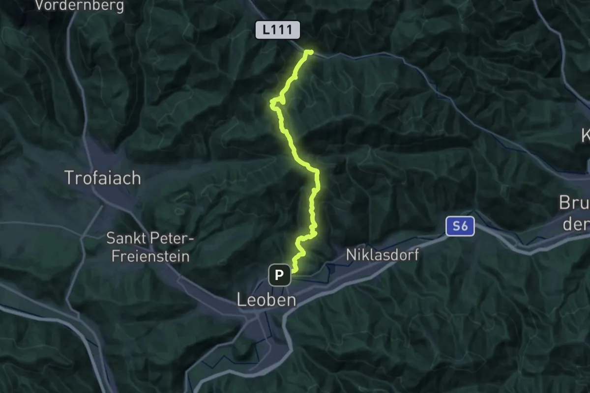
Demanding · Trail
Wanderweg 878
13.5 km · ↑ 841 m · 5 h 9 min
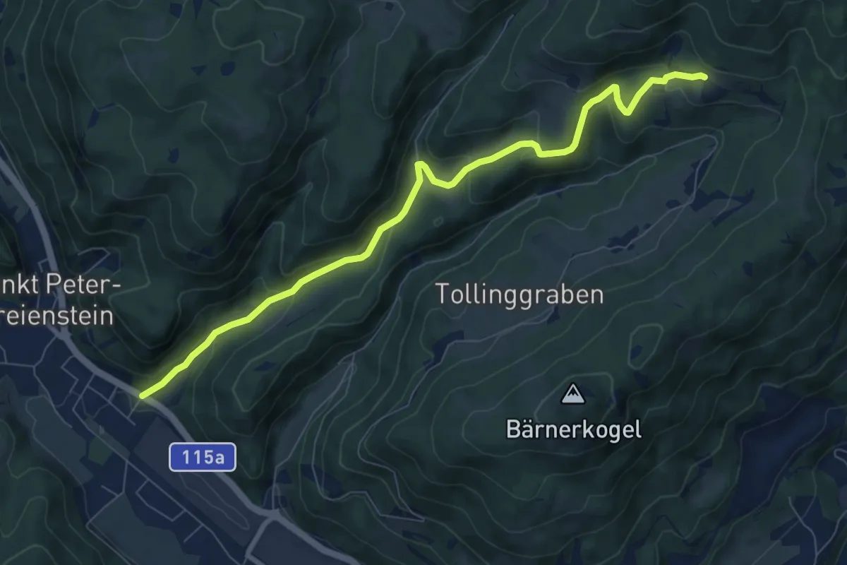
Medium · Trail
Wanderweg 879
8.4 km · ↑ 348 m · 2 h 44 min
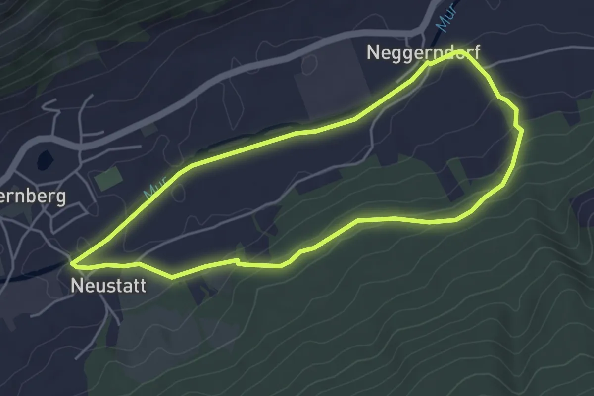
Easy · Trail
Wanderweg 87, Ötzsteigsteigrundweg, Unternberg
4.2 km · ↑ 79 m · 1 h 13 min
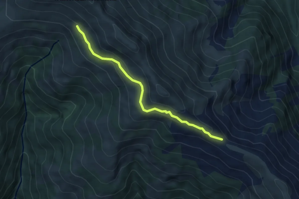
Medium · Trail
Wanderweg 88
4.7 km · ↑ 134 m · 1 h 24 min
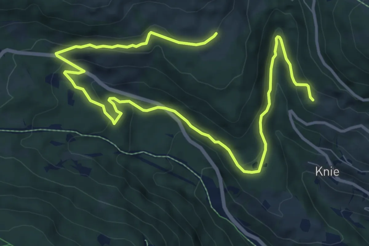
Medium · Trail
Wanderweg 88
11.9 km · ↑ 369 m · 3 h 36 min
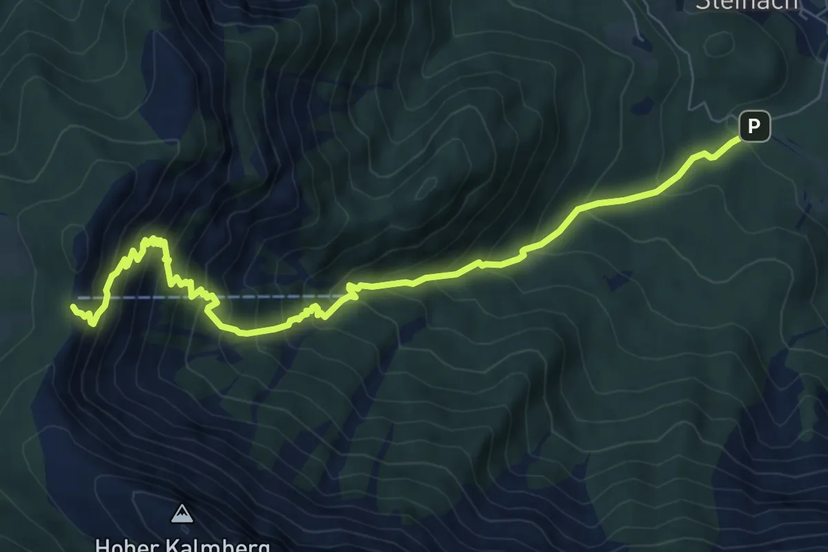
Demanding · Cabin
Wanderweg 880
8.7 km · ↑ 942 m · 4 h 6 min
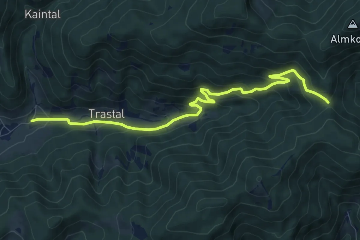
Medium · Trail
Wanderweg 880
9.9 km · ↑ 447 m · 3 h 19 min
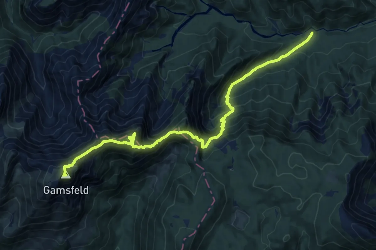
Expert · Summit
Wanderweg 881
17.5 km · ↑ 1821 m · 8 h 5 min
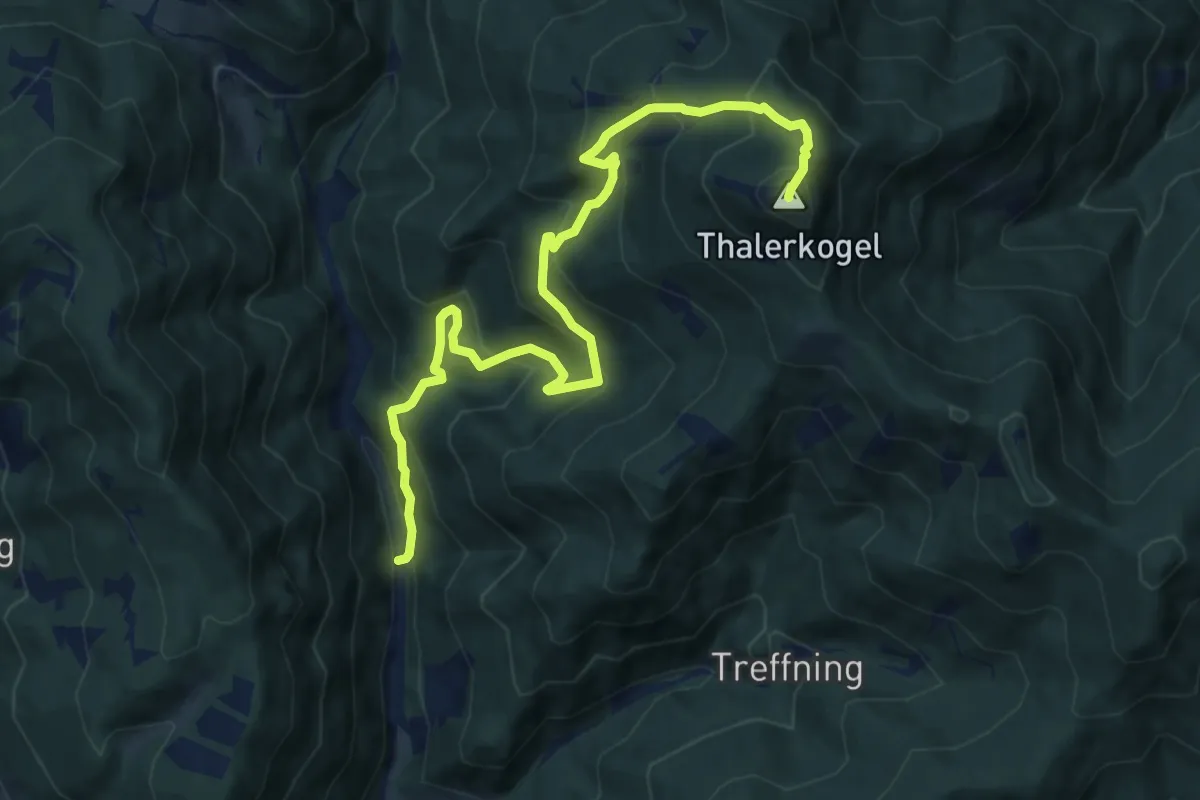
Demanding · Summit
Wanderweg 881
11.6 km · ↑ 902 m · 4 h 42 min
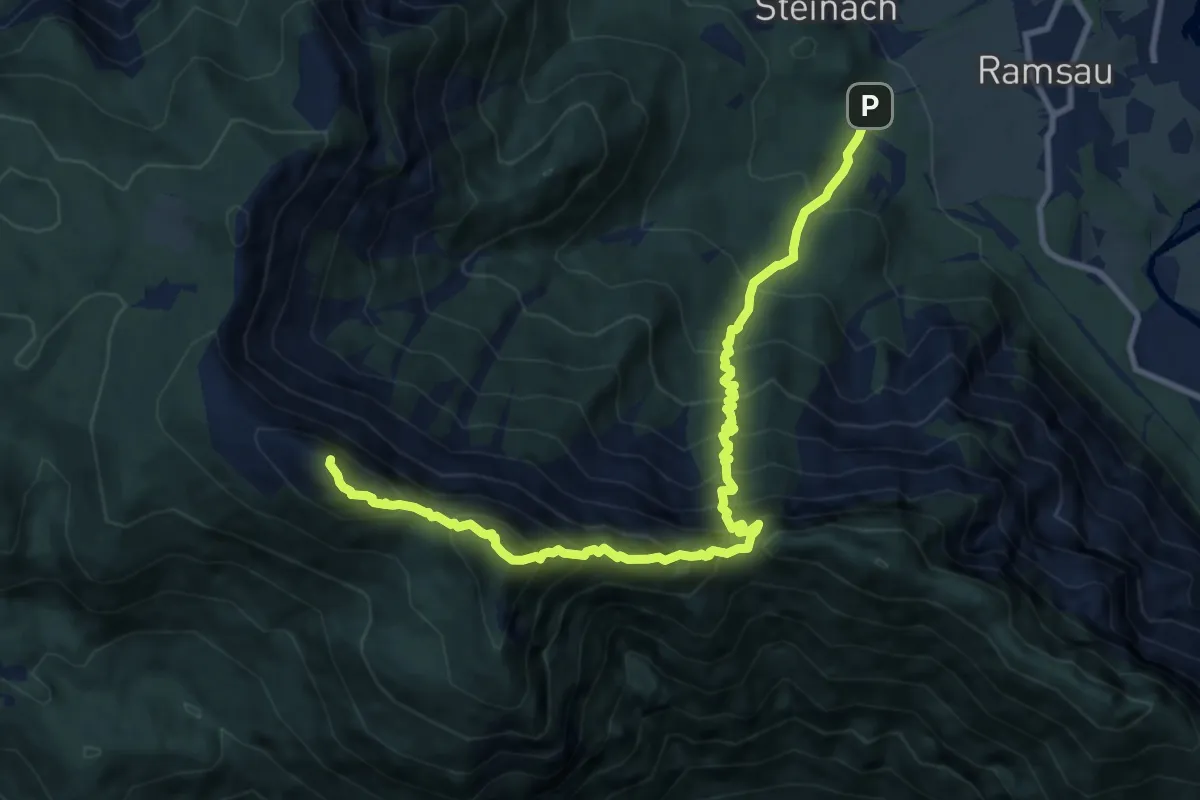
Expert · Summit
Wanderweg 888
11.1 km · ↑ 1557 m · 6 h
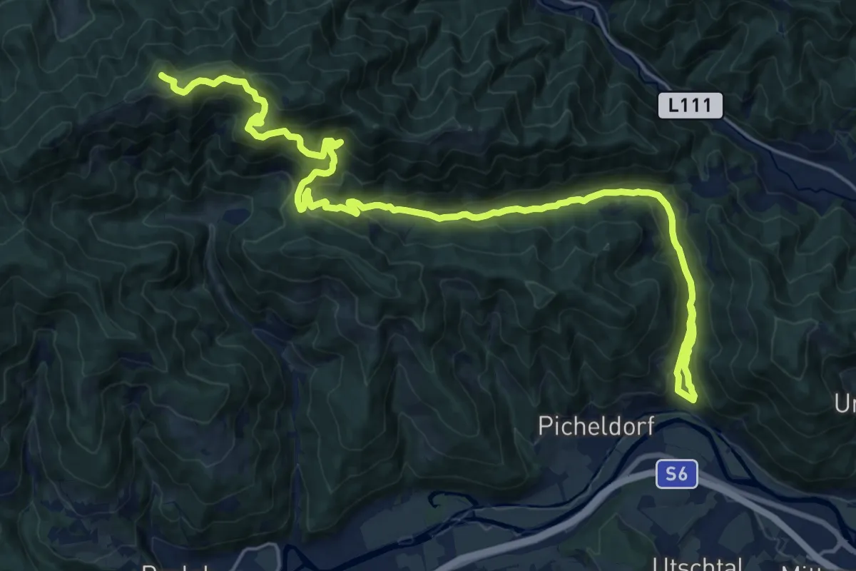
Demanding · Summit
Wanderweg 889
25.5 km · ↑ 1014 m · 8 h 13 min
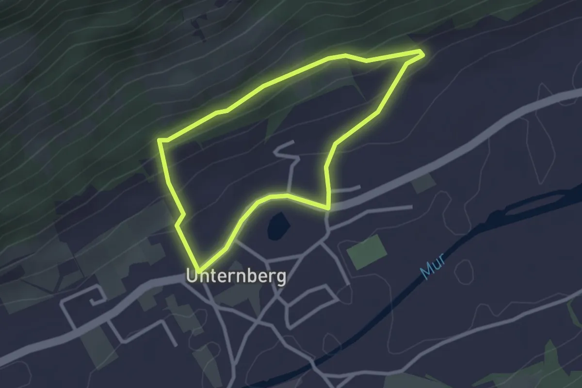
Easy · Trail
Wanderweg 88, Himmelsteigrundweg, Unternberg
2.2 km · ↑ 88 m · 44 min
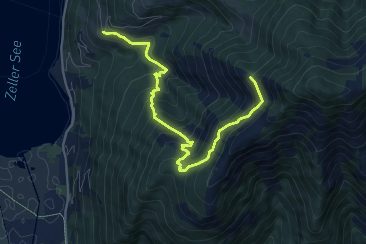
Medium · Trail
Wanderweg 89
9.1 km · ↑ 587 m · 3 h 26 min
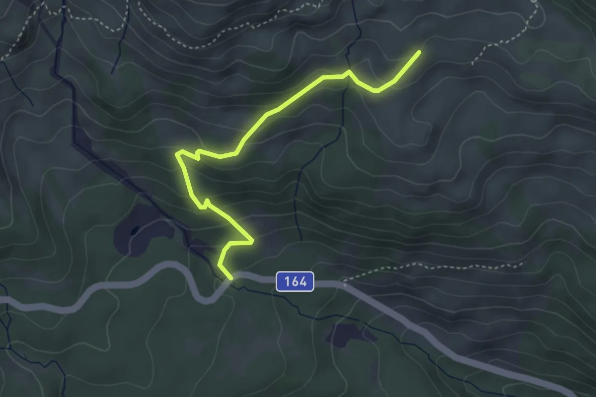
Easy · Trail
Wanderweg 89
3.8 km · ↑ 233 m · 1 h 24 min
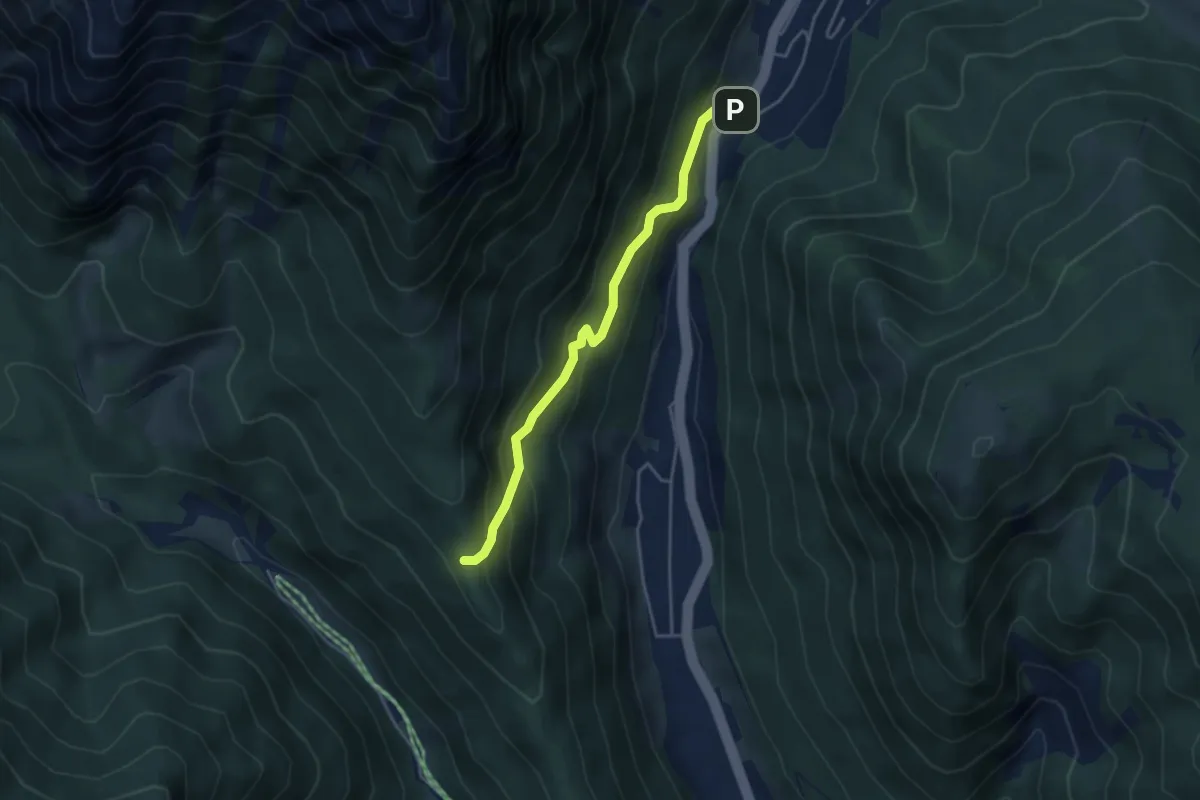
Medium · Trail
Wanderweg 89
3.9 km · ↑ 260 m · 1 h 28 min
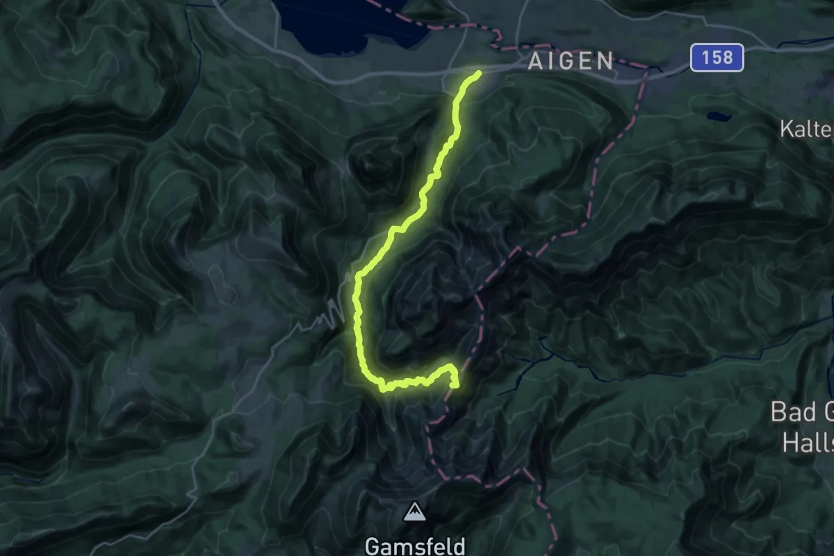
Demanding · Summit
Wanderweg 890
23.4 km · ↑ 1000 m · 7 h 42 min
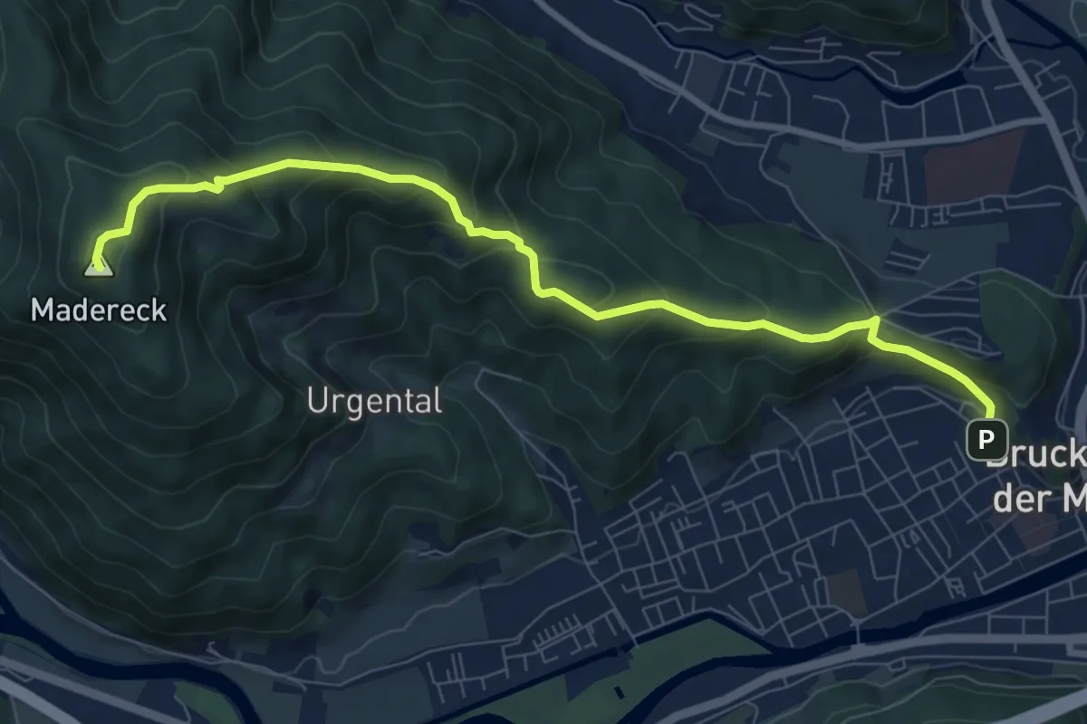
Medium · Summit
Wanderweg 890
8.9 km · ↑ 552 m · 3 h 17 min
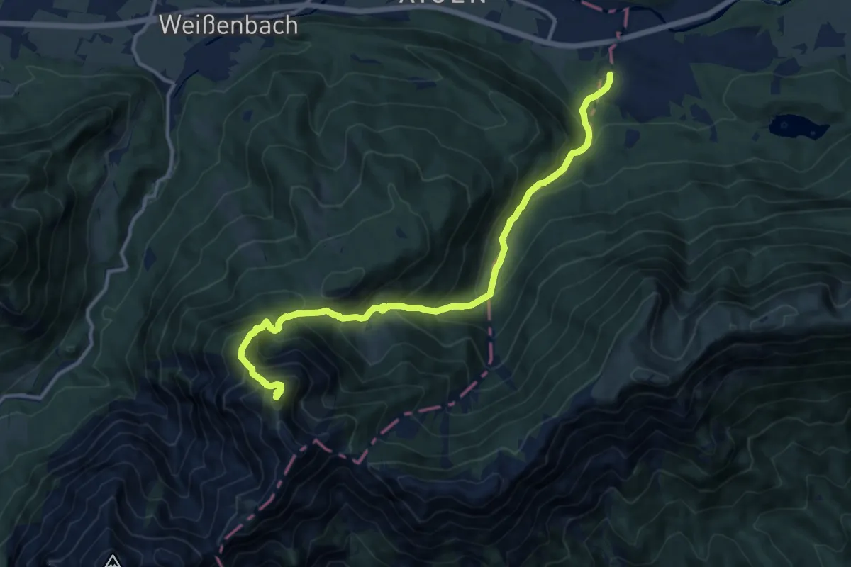
Demanding · Summit
Wanderweg 891 Rettenkogel über Sonntagskaralm
12.4 km · ↑ 1233 m · 5 h 36 min
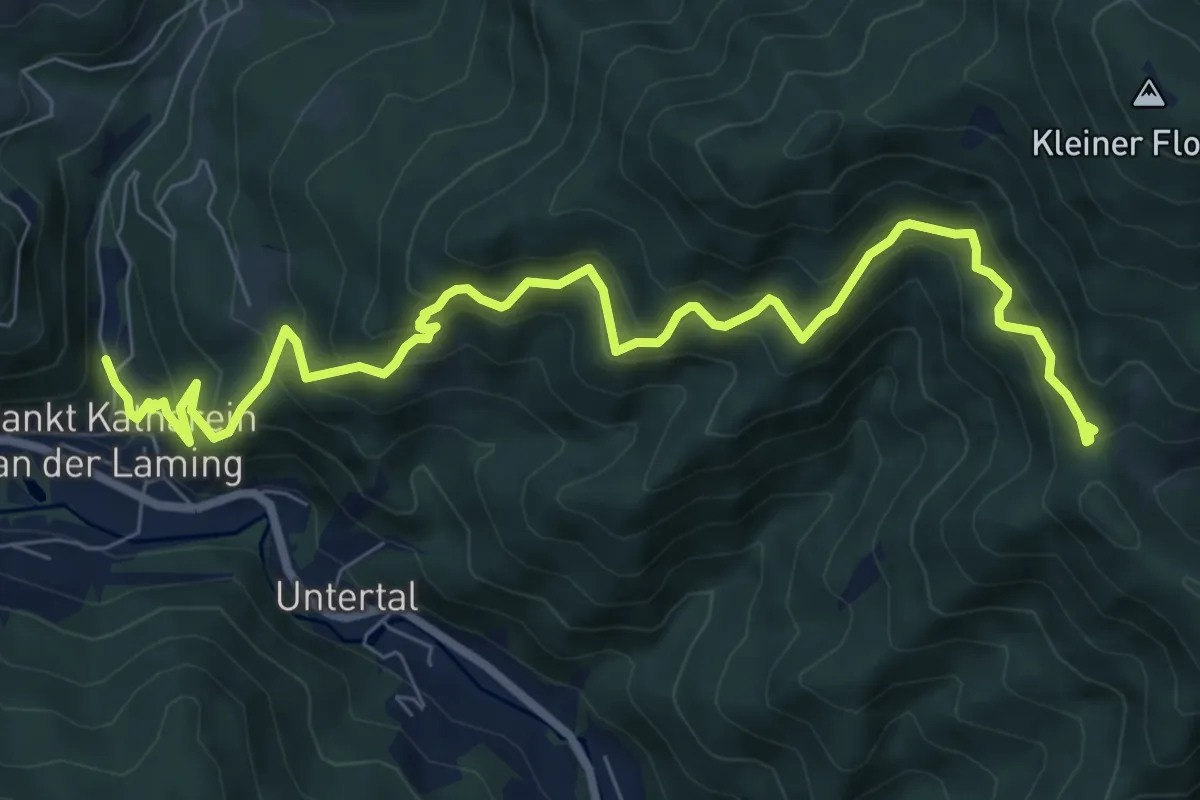
Medium · Trail
Wanderweg 892A
9.5 km · ↑ 577 m · 3 h 30 min
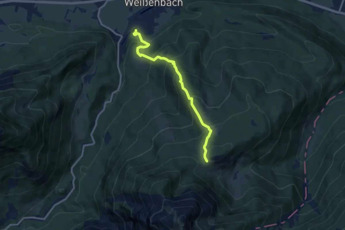
Medium · Trail
Wanderweg 892 Sonntagskaralm über Moosgassneralm
6.6 km · ↑ 639 m · 2 h 56 min
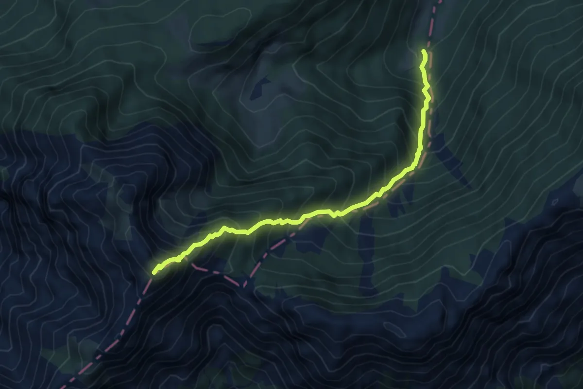
Expert · Summit
Wanderweg 893 Laufenbergalm
5.9 km · ↑ 978 m · 3 h 31 min
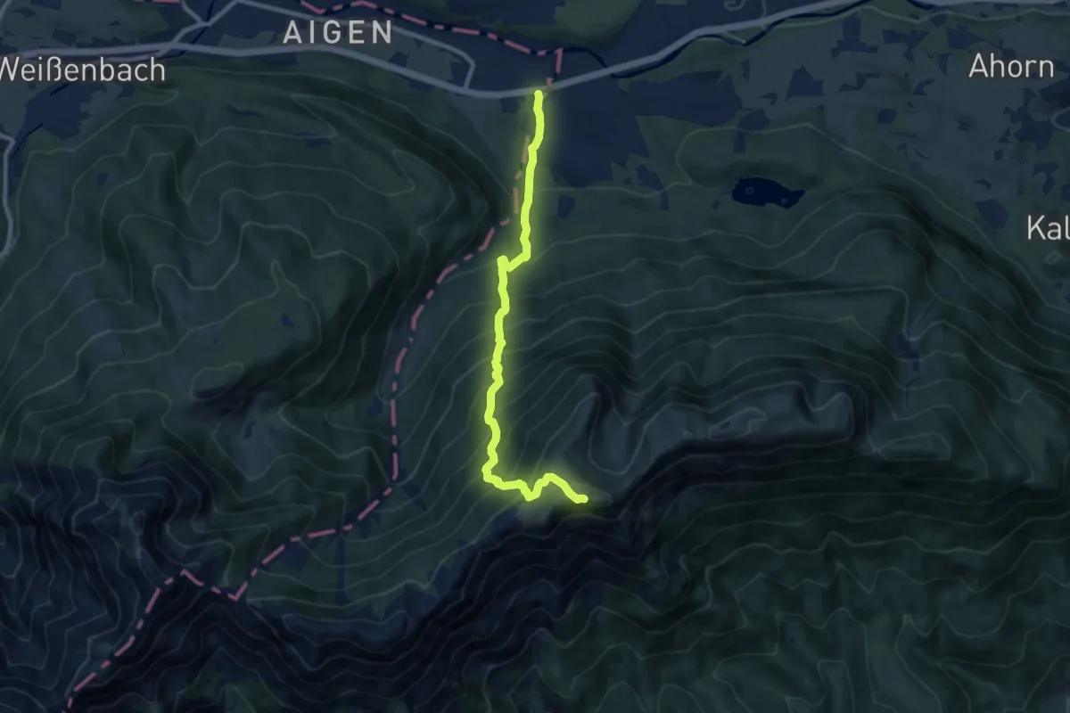
Demanding · Summit
Wanderweg 894
9.0 km · ↑ 1127 m · 4 h 34 min
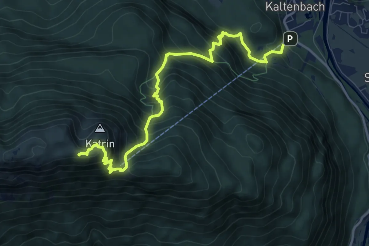
Demanding · Summit
Wanderweg 895
9.7 km · ↑ 1154 m · 4 h 47 min
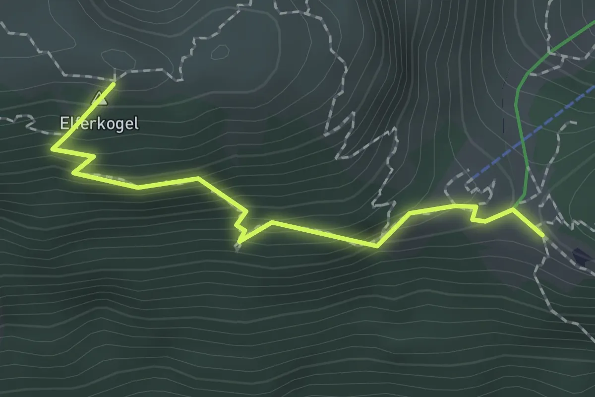
Demanding · Summit
Wanderweg 898
1.8 km · ↑ 209 m · 53 min