Trails in Austria
9,777 hiking trails, each with its route, climb, walking time and grade.
All trails, page 177 of 204
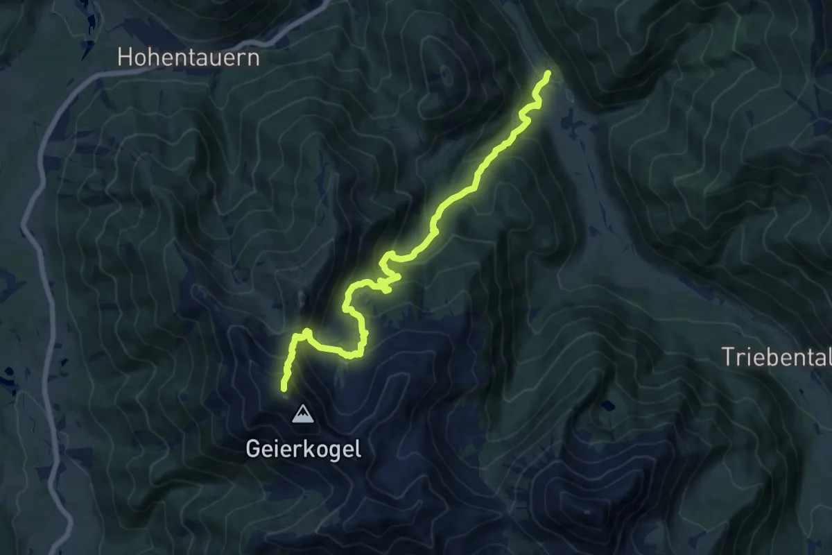
Demanding · Trail
Wanderweg 948
13.4 km · ↑ 1122 m · 5 h 35 min
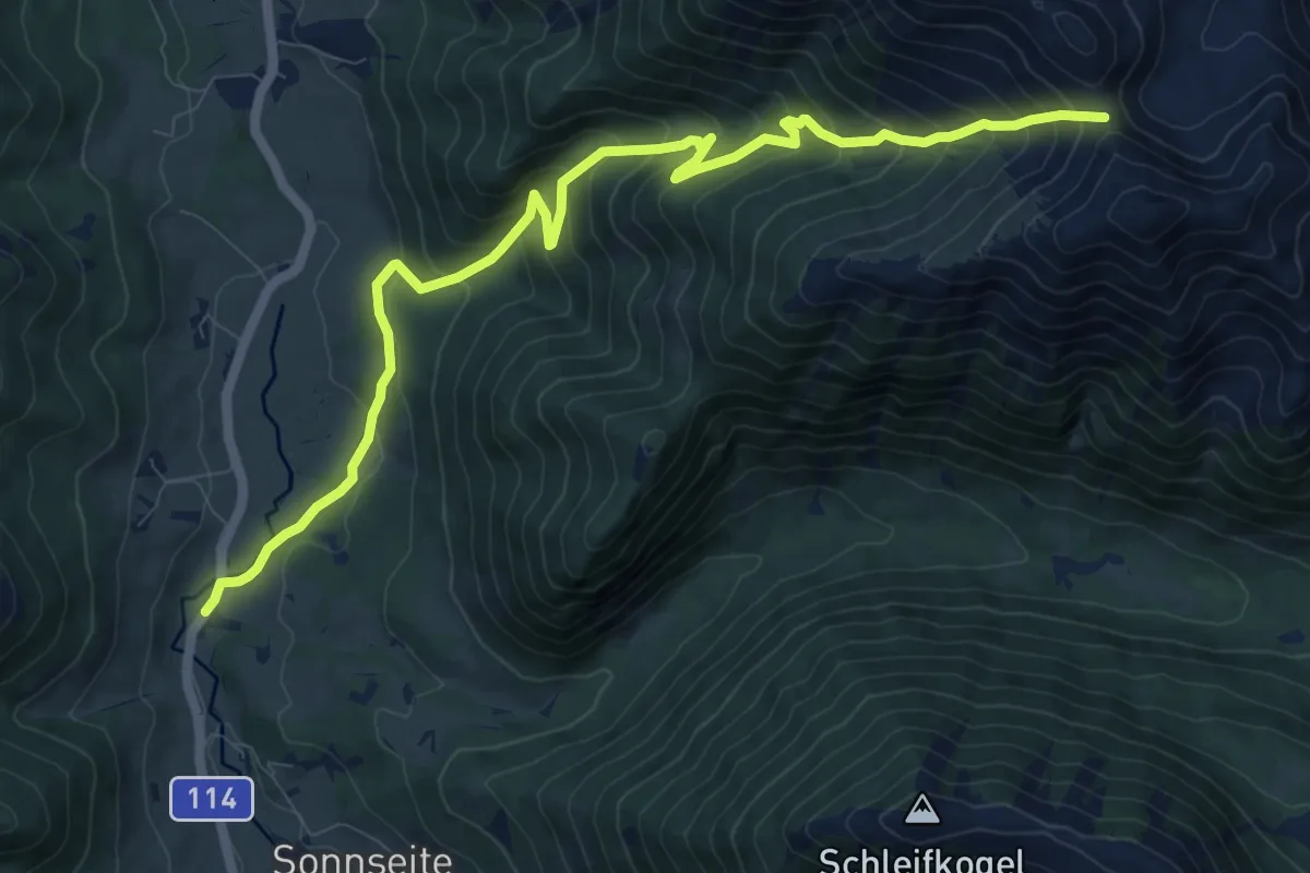
Demanding · Trail
Wanderweg 949
11.4 km · ↑ 934 m · 4 h 42 min
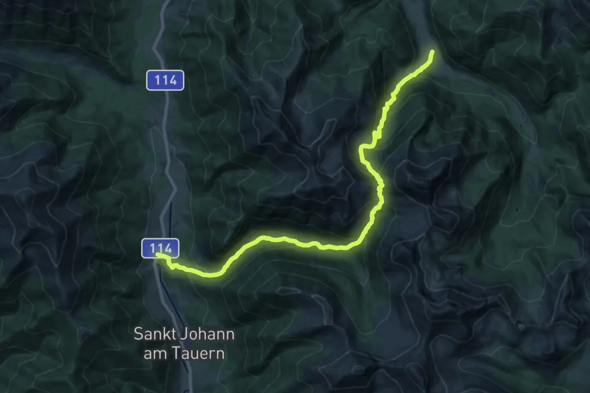
Medium · Trail
Wanderweg 949
11.2 km · ↑ 790 m · 4 h 31 min
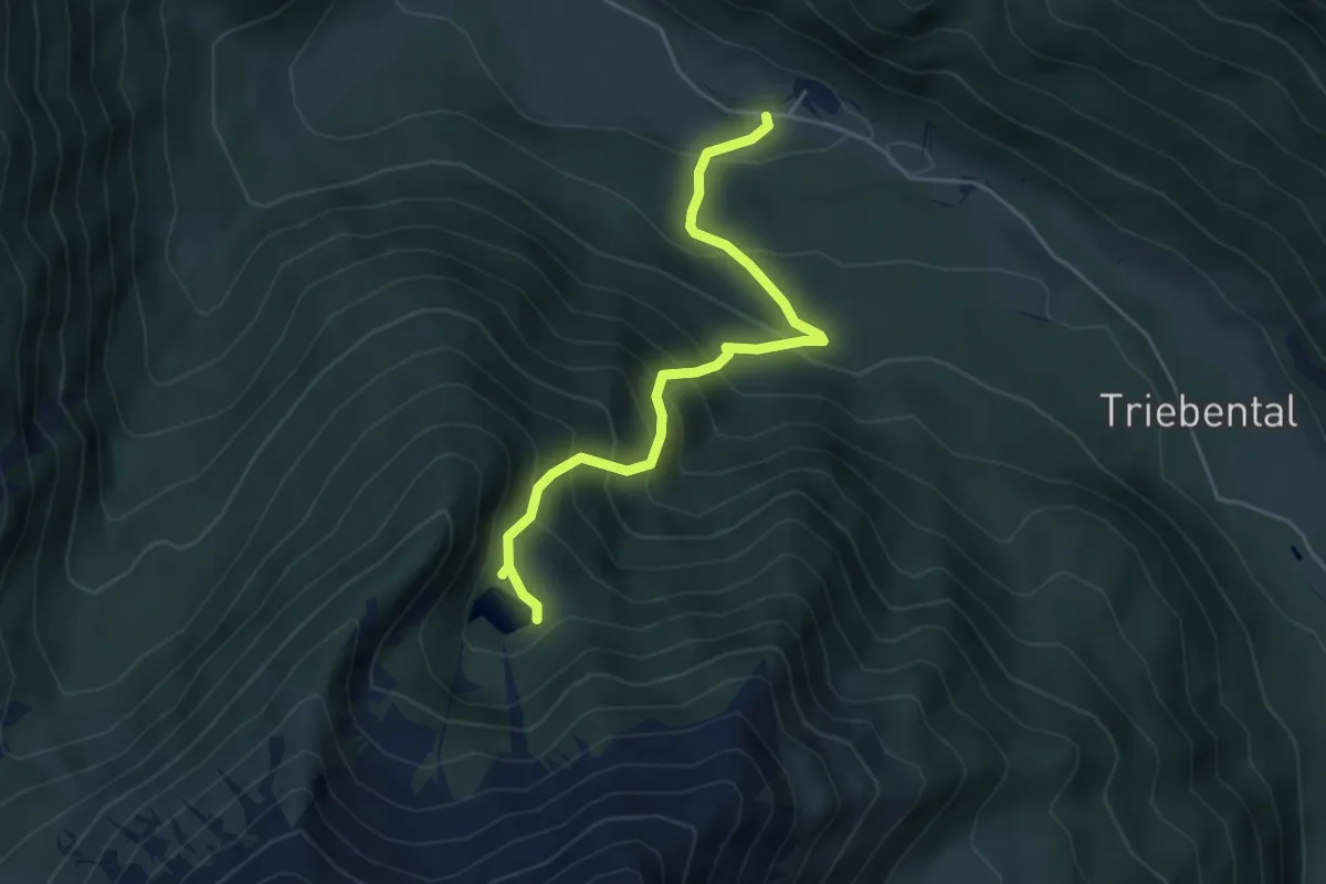
Medium · Trail
Wanderweg 949a
4.6 km · ↑ 503 m · 2 h 11 min
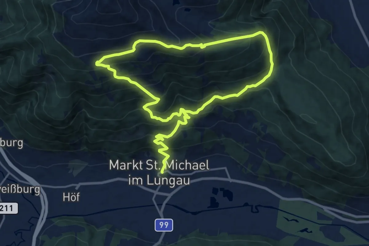
Demanding · Trail
Wanderweg 94, Speiereck - Bergwanderung
11.5 km · ↑ 953 m · 4 h 47 min
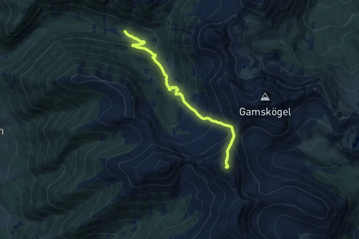
Demanding · Summit
Wanderweg 950
9.5 km · ↑ 875 m · 4 h 9 min
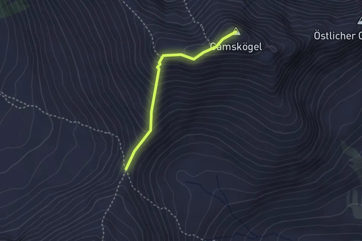
Medium · Summit
Wanderweg 950b
2.4 km · ↑ 311 m · 1 h 14 min
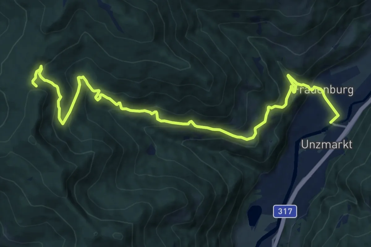
Demanding · Trail
Wanderweg 959
18.0 km · ↑ 840 m · 6 h 4 min
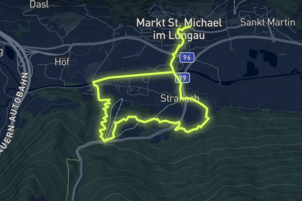
Medium · Trail
Wanderweg 95, Glashüttenrundweg
13.0 km · ↑ 500 m · 4 h 9 min
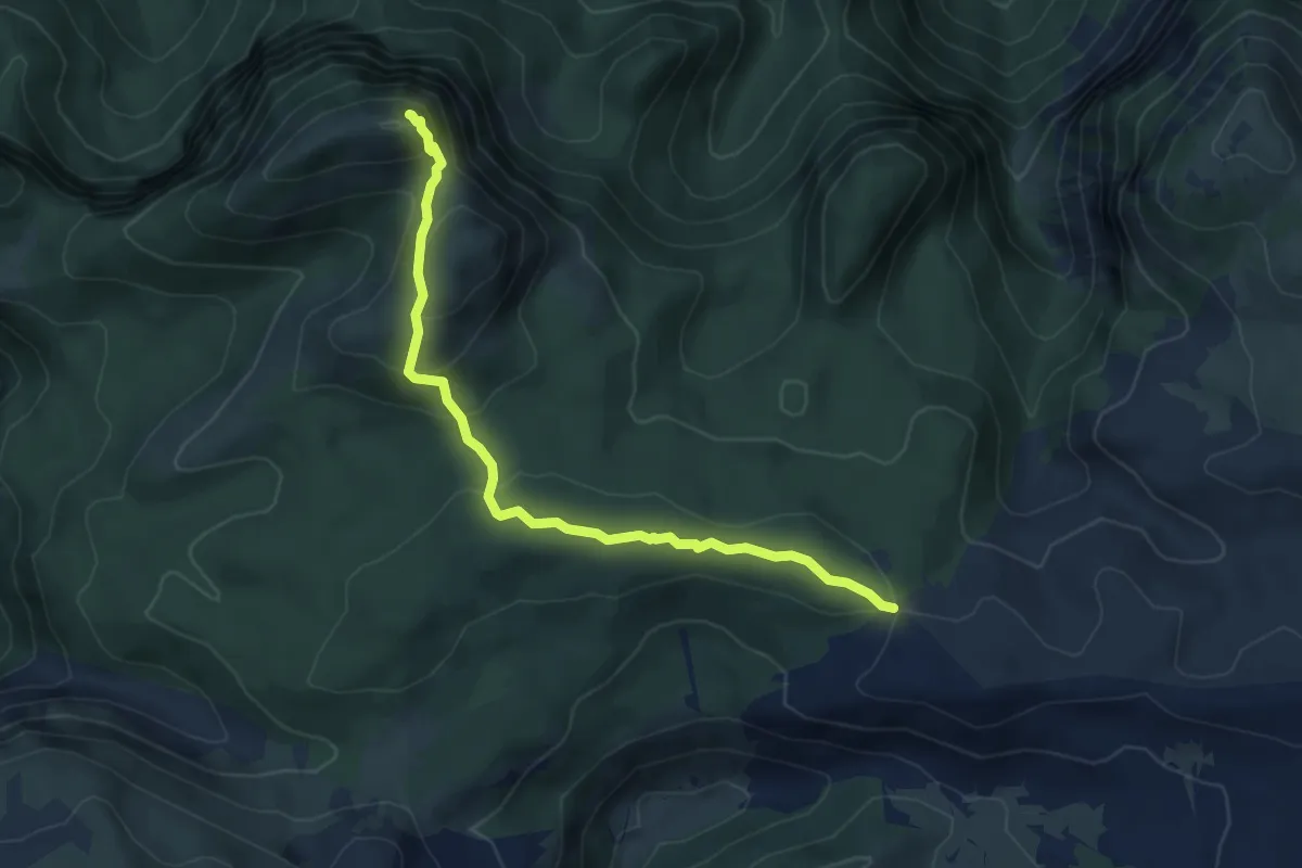
Demanding · Summit
Wanderweg 96
5.9 km · ↑ 340 m · 2 h 7 min
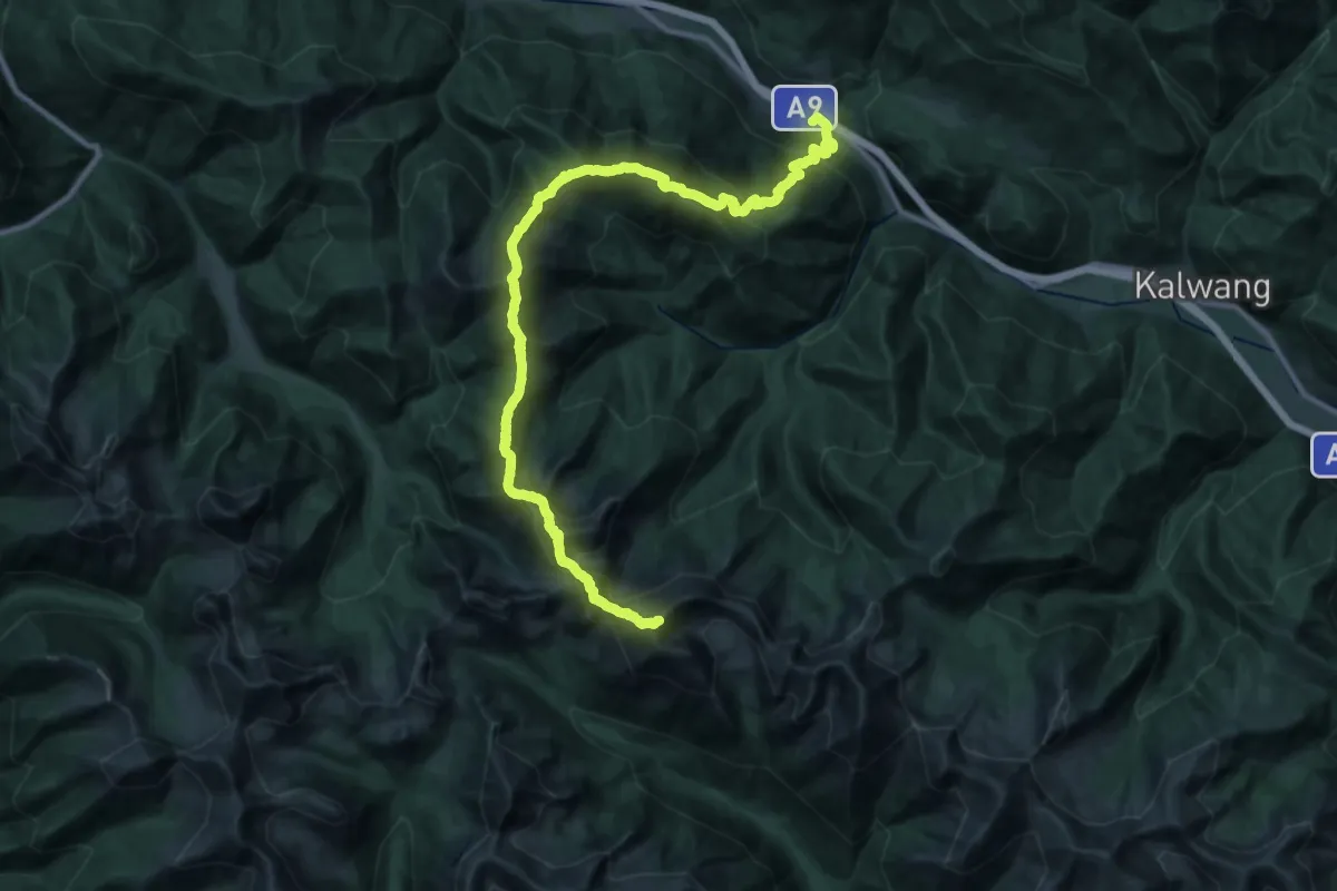
Expert · Summit
Wanderweg 968
35.3 km · ↑ 3736 m · 16 h 25 min
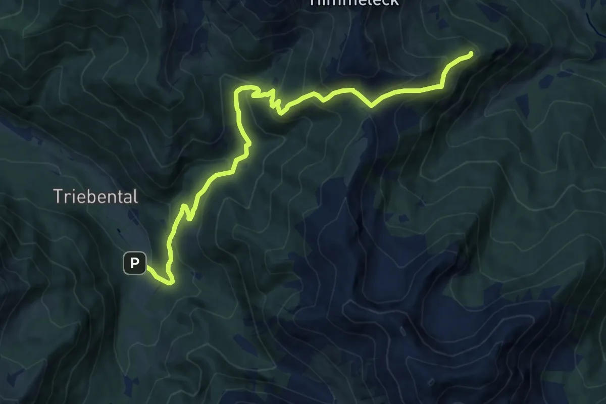
Medium · Cabin
Wanderweg 969
13.3 km · ↑ 772 m · 4 h 49 min
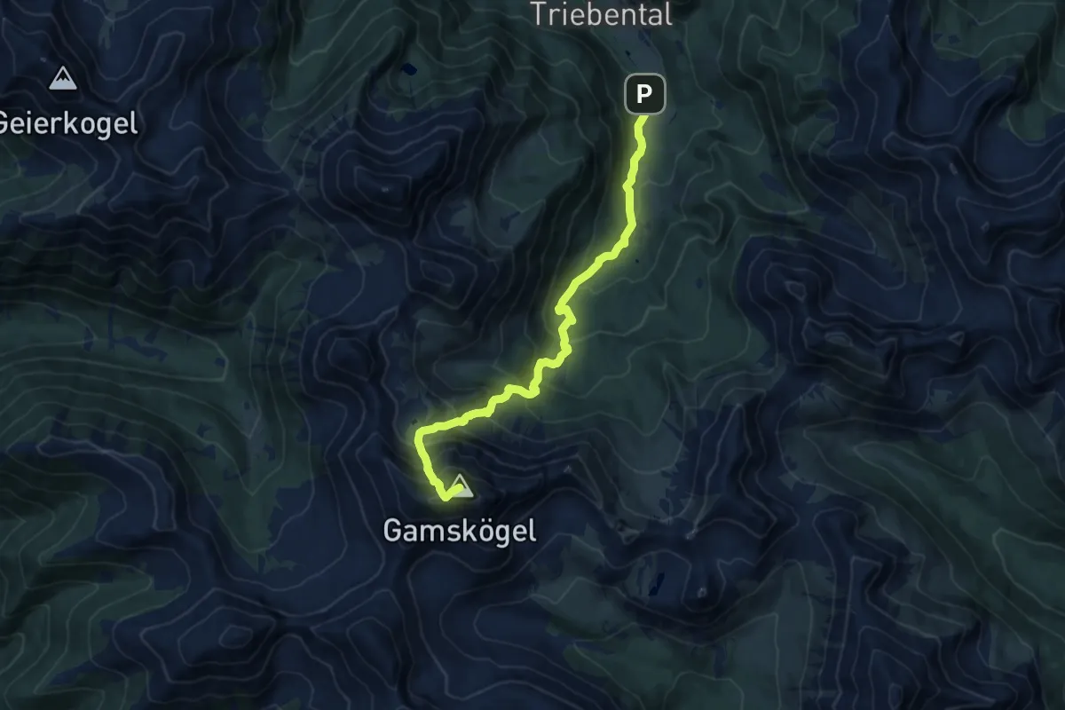
Demanding · Summit
Wanderweg 969
11.7 km · ↑ 1181 m · 5 h 19 min
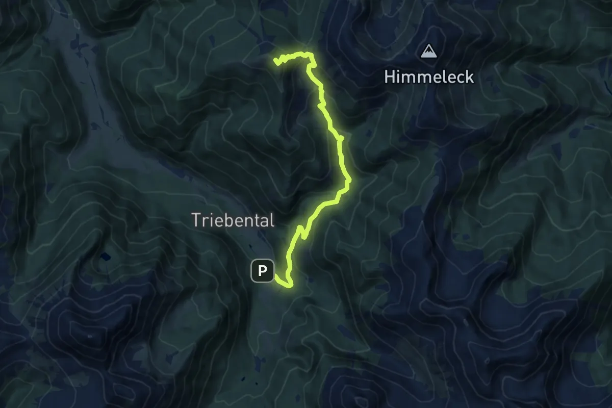
Medium · Summit
Wanderweg 969a
11.0 km · ↑ 696 m · 4 h 7 min
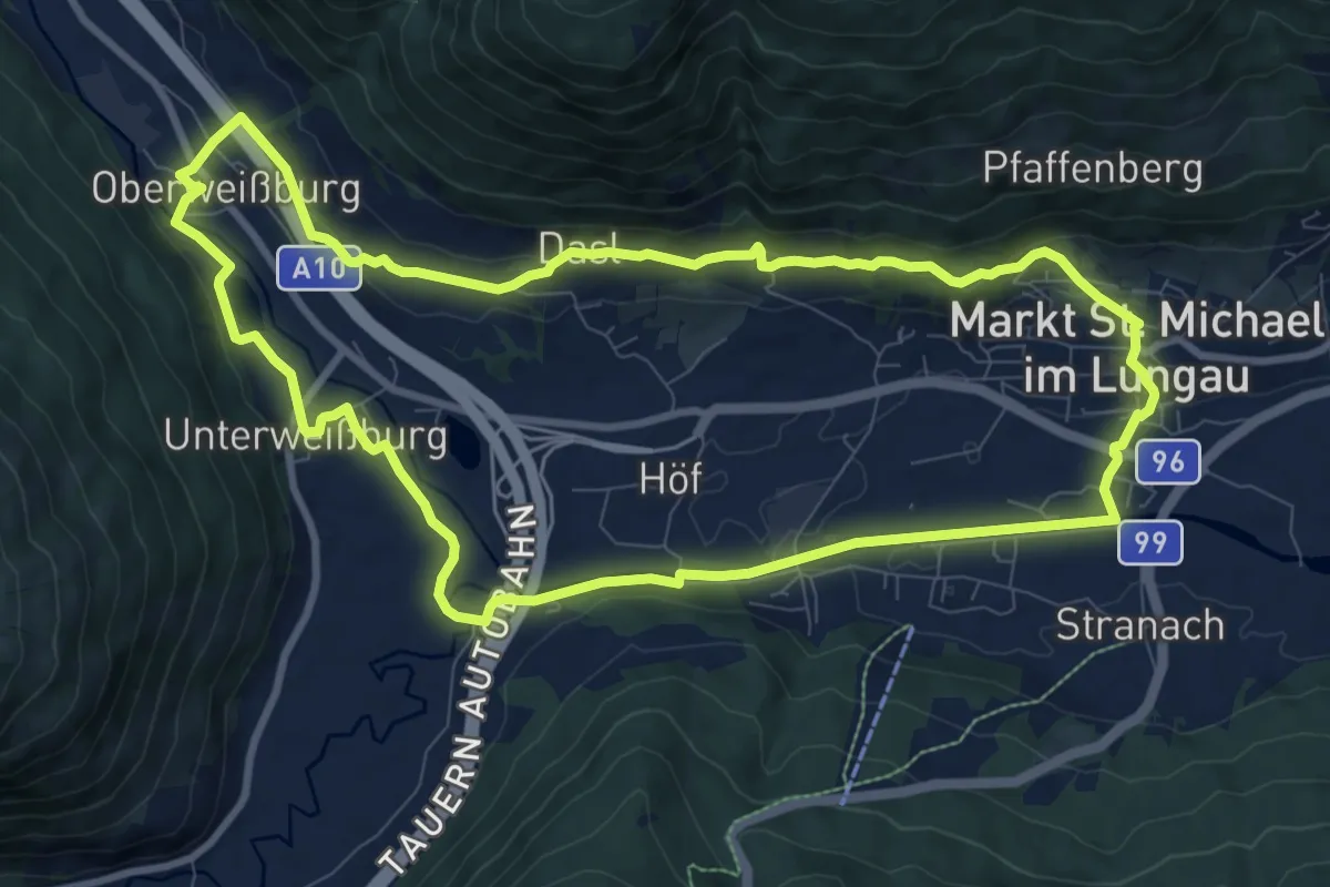
Medium · Trail
Wanderweg 96, Oberweißburger Rundweg
9.7 km · ↑ 187 m · 2 h 50 min
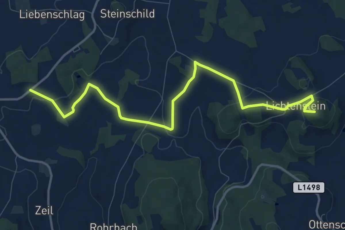
Medium · Summit
Wanderweg 97
10.2 km · ↑ 221 m · 2 h 54 min
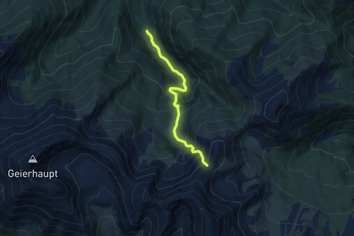
Expert · Trail
Wanderweg 972
7.8 km · ↑ 802 m · 3 h 35 min
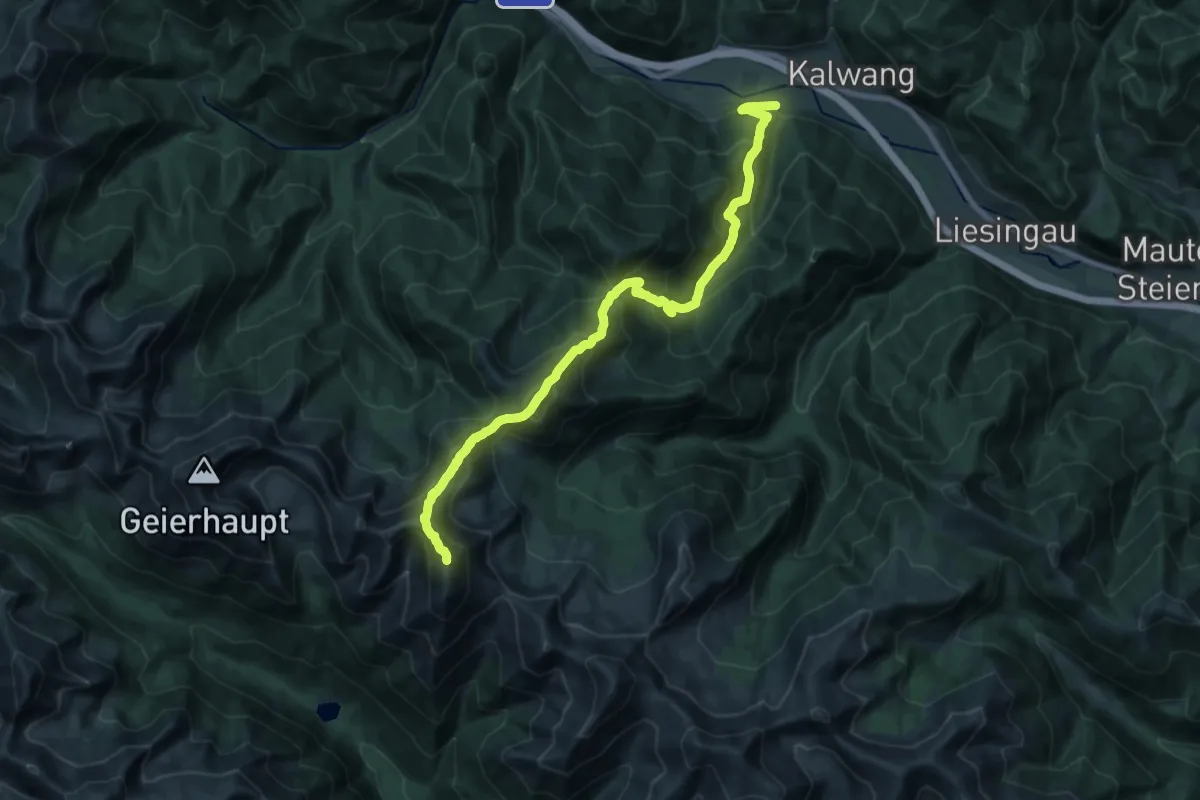
Demanding · Summit
Wanderweg 973
22.2 km · ↑ 2189 m · 9 h 59 min
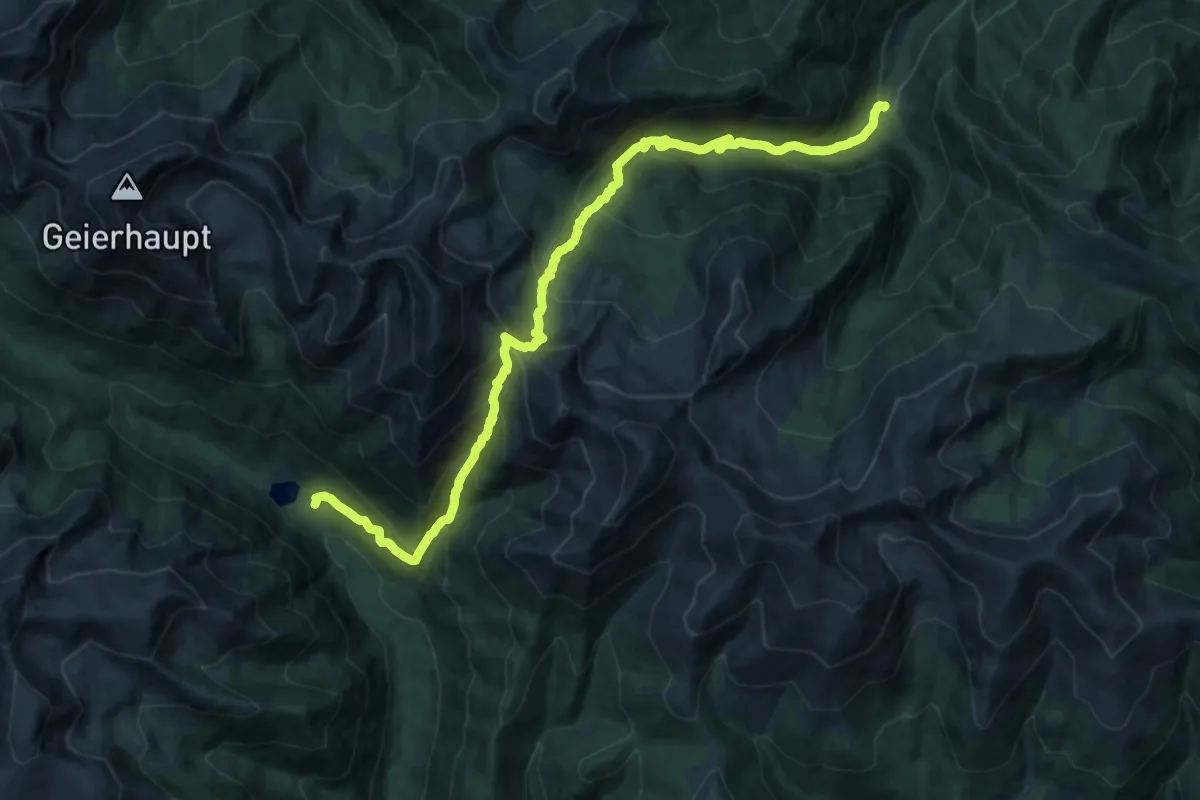
Demanding · Trail
Wanderweg 974
11.6 km · ↑ 1034 m · 5 h 1 min
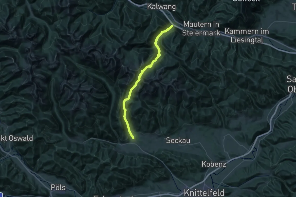
Demanding · Trail
Wanderweg 975
18.9 km · ↑ 1189 m · 7 h 22 min
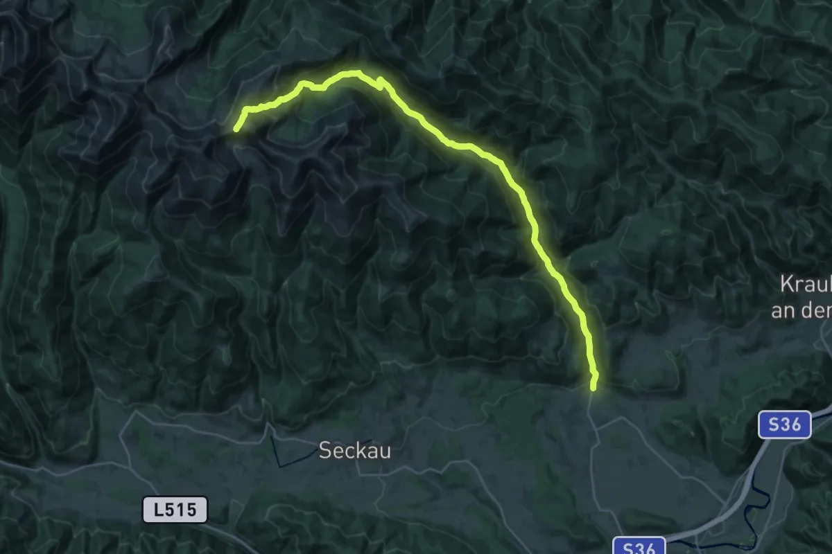
Demanding · Trail
Wanderweg 978
14.3 km · ↑ 1408 m · 5 h 55 min
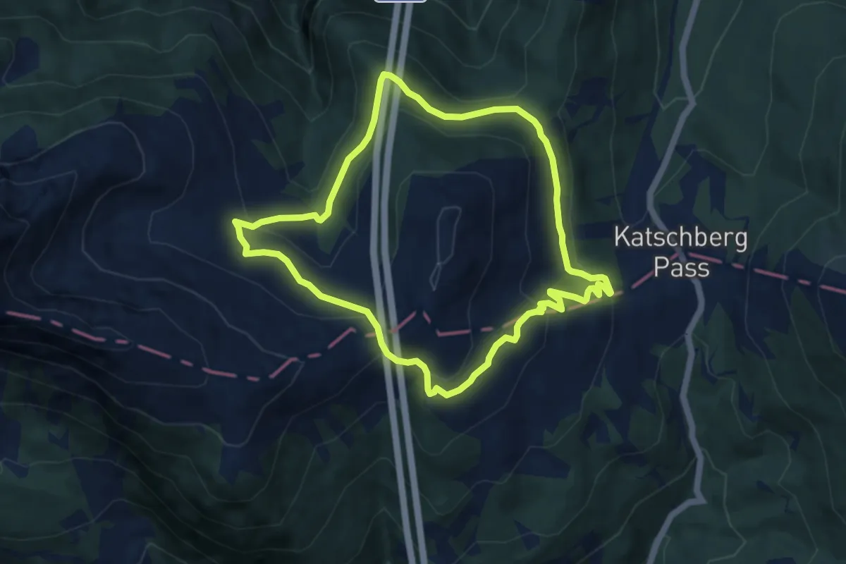
Easy · Trail
Wanderweg 97, Gontal Rundwanderweg
7.7 km · ↑ 301 m · 2 h 35 min
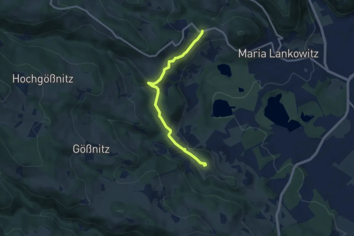
Easy · Trail
Wanderweg 98
3.1 km · ↑ 97 m · 59 min
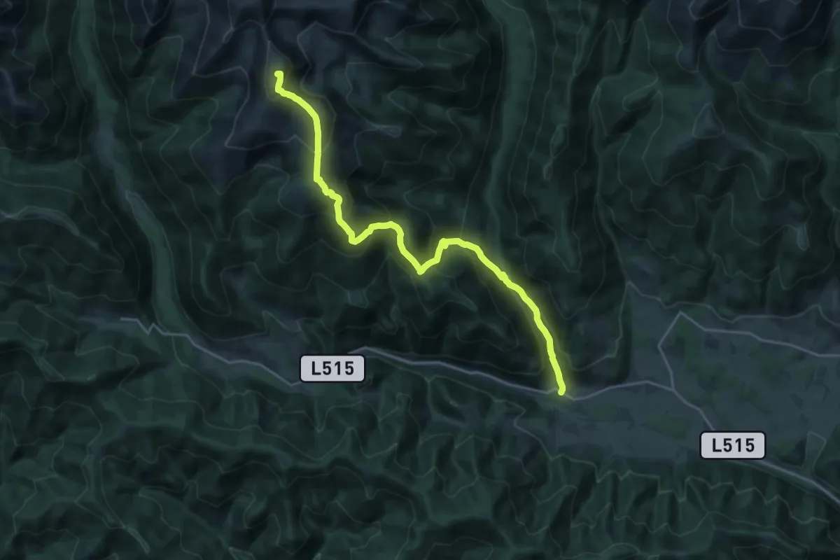
Demanding · Summit
Wanderweg 980
20.7 km · ↑ 1414 m · 7 h 56 min
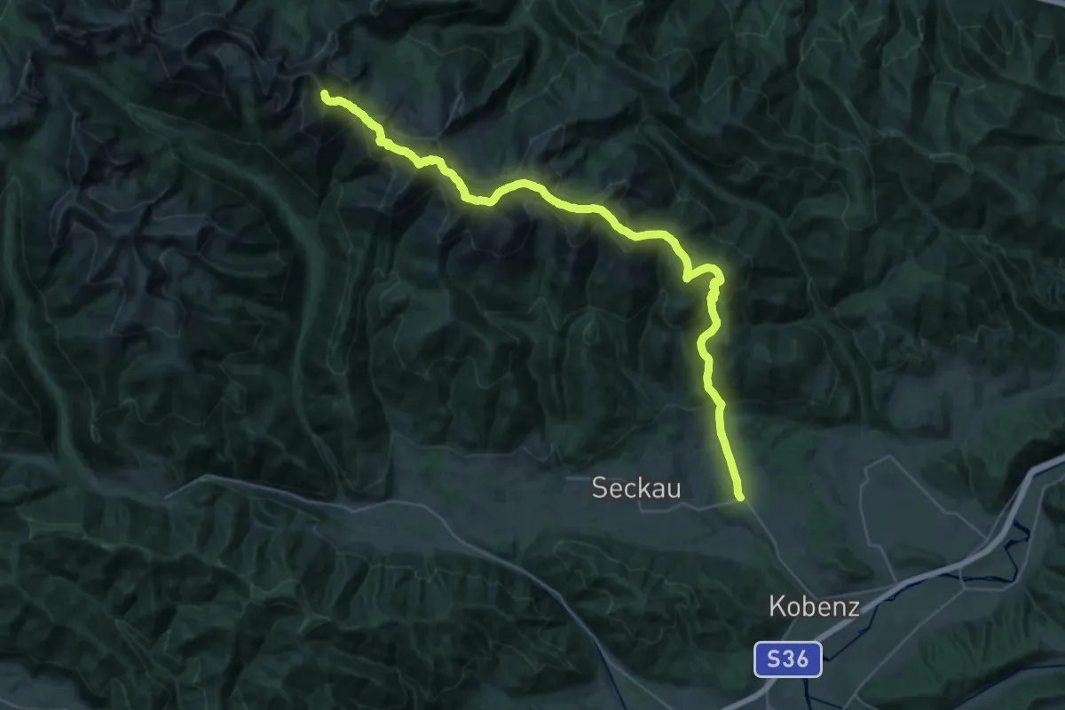
Demanding · Summit
Wanderweg 983
40.3 km · ↑ 3342 m · 16 h 45 min
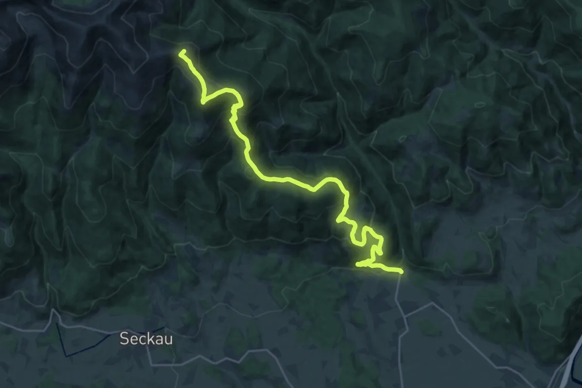
Demanding · Summit
Wanderweg 984
23.7 km · ↑ 1200 m · 8 h 11 min
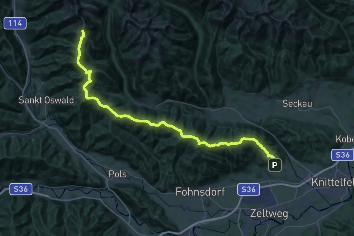
Demanding · Summit
Wanderweg 988
54.4 km · ↑ 2900 m · 19 h 7 min
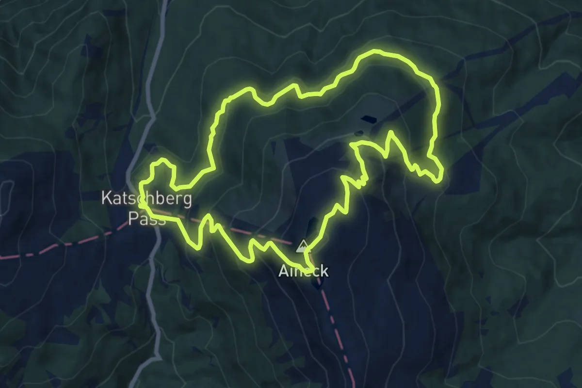
Medium · Summit
Wanderweg 98, Aineck Rundwanderweg
12.9 km · ↑ 614 m · 4 h 33 min
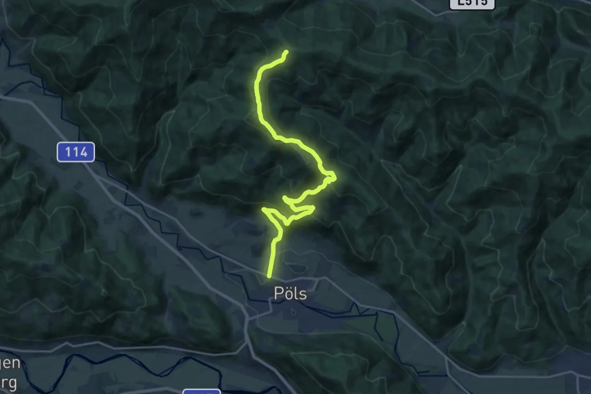
Demanding · Summit
Wanderweg 991
17.2 km · ↑ 845 m · 5 h 53 min
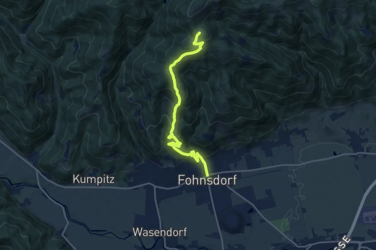
Medium · Summit
Wanderweg 993
11.5 km · ↑ 710 m · 4 h 15 min
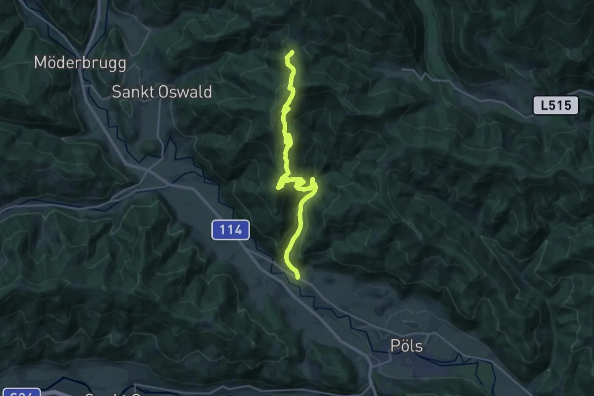
Demanding · Trail
Wanderweg 994
18.2 km · ↑ 887 m · 6 h 13 min
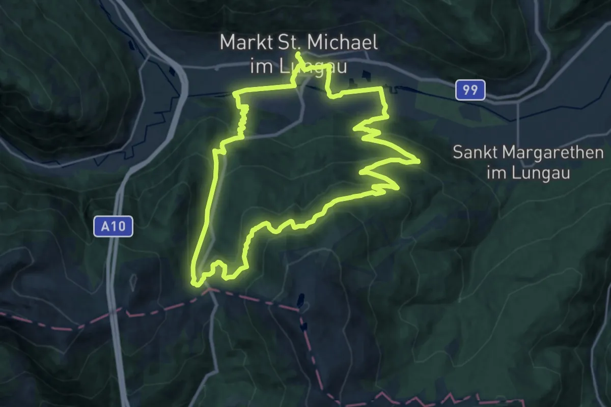
Demanding · Trail
Wanderweg 99, St. Michael-Katschberg Rundwanderweg
20.2 km · ↑ 760 m · 6 h 41 min
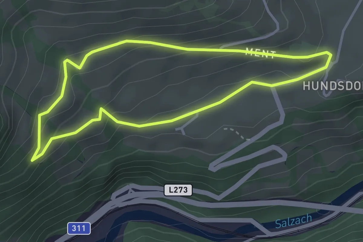
Medium · Trail
Wanderweg 9a (Eschenauer Rundweg)
2.8 km · ↑ 117 m · 57 min
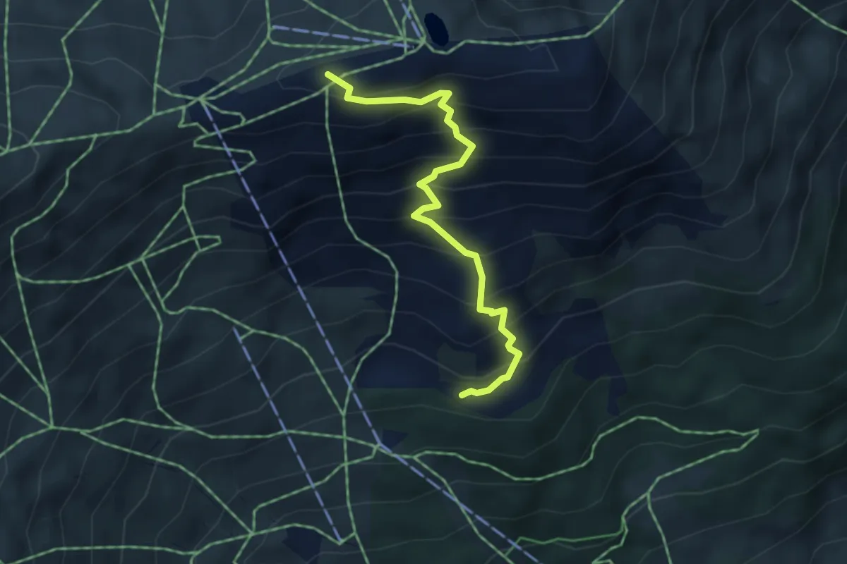
Medium · Trail
Wanderweg 9B
4.0 km · ↑ 493 m · 2 h 1 min
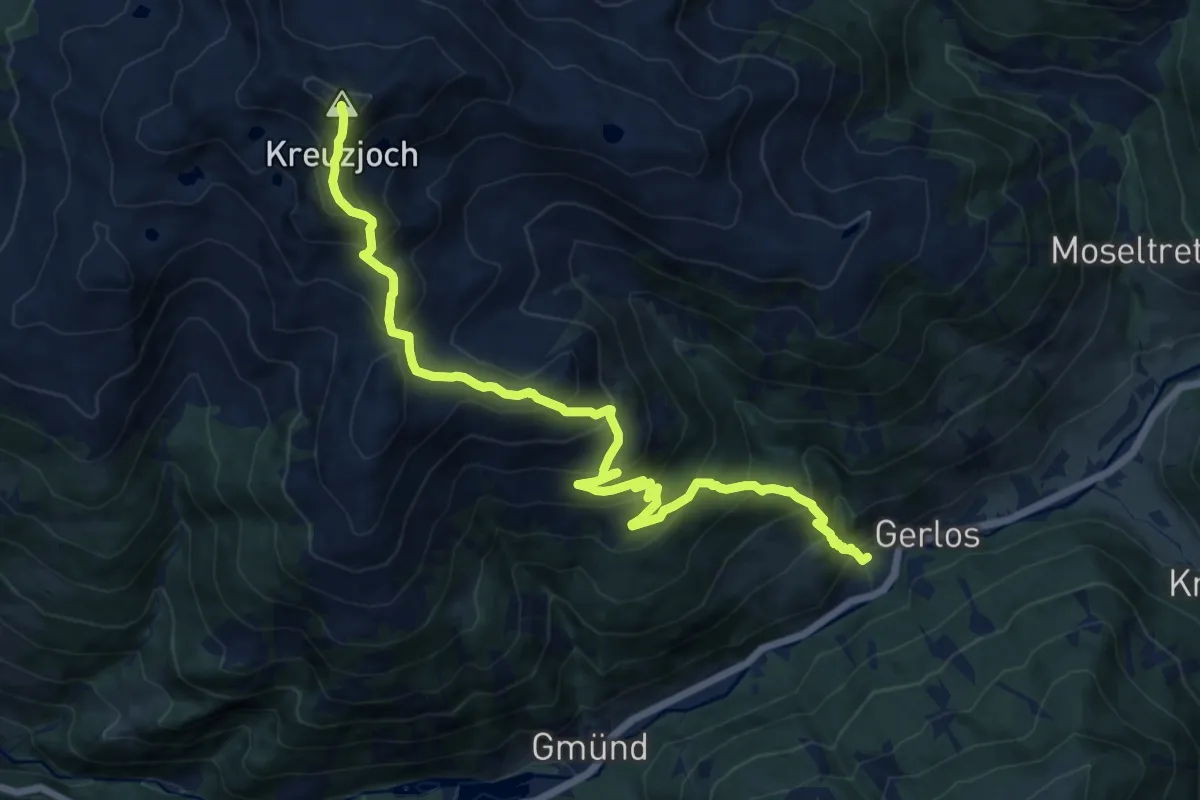
Demanding · Summit
Wanderweg 9 - Gerlos
15.5 km · ↑ 1402 m · 6 h 41 min
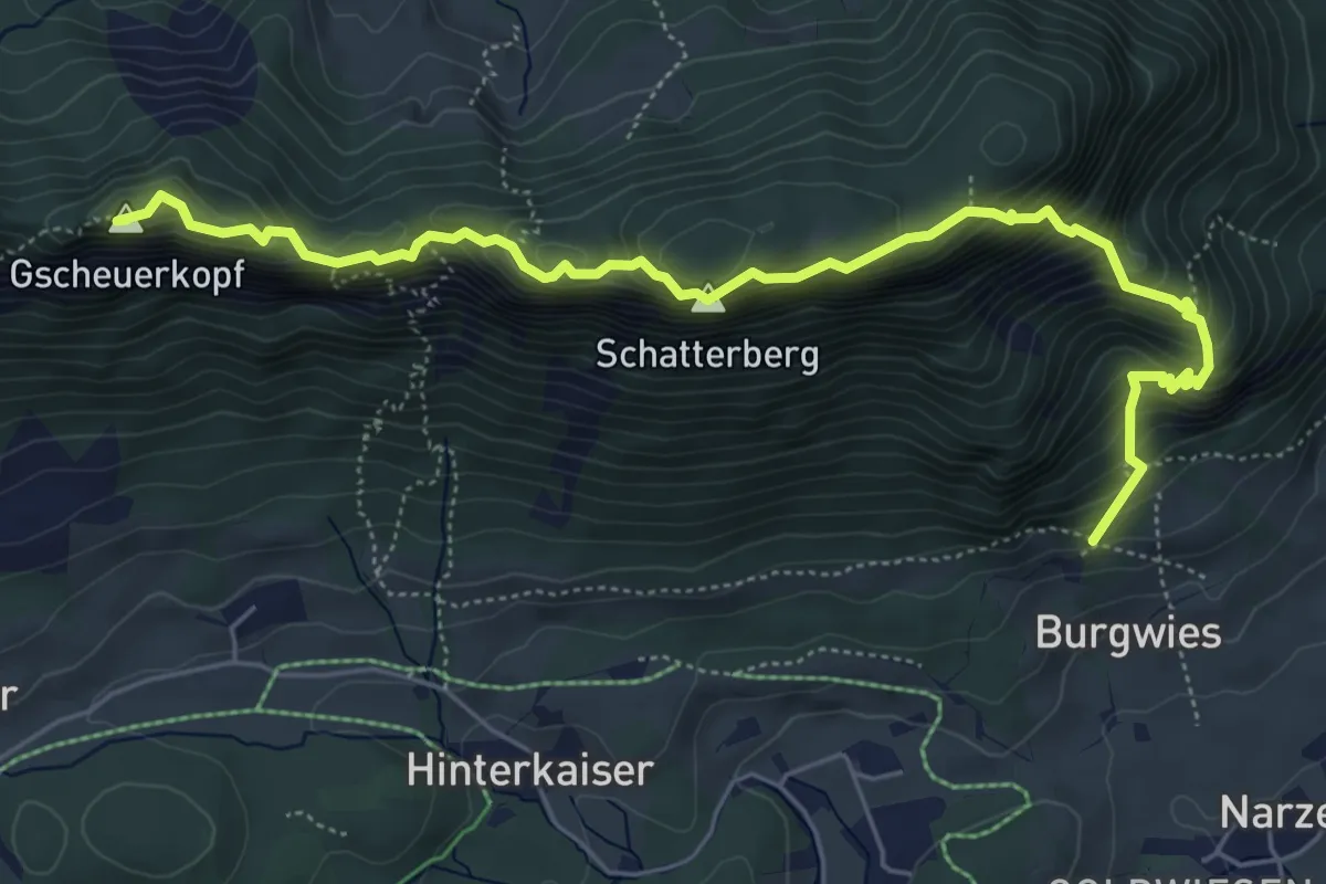
Demanding · Summit
Wanderweg 9 - Niederkaiser
6.5 km · ↑ 981 m · 3 h 40 min
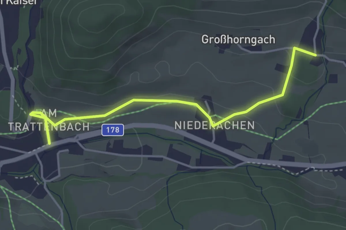
Easy · Trail
Wanderweg 9 - Scheffau
3.8 km · ↑ 73 m · 1 h 3 min
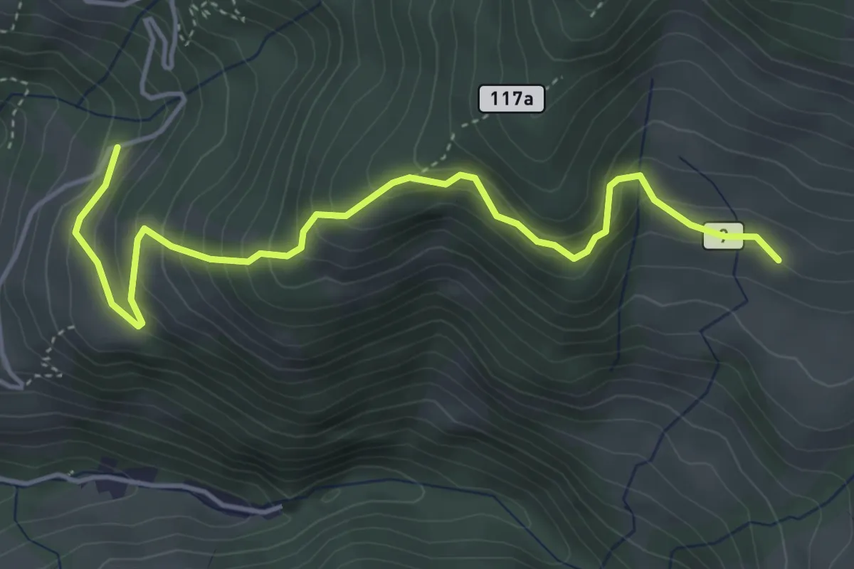
Medium · Trail
Wanderweg 9 (Verbindungsweg Karalm)
4.8 km · ↑ 346 m · 1 h 53 min
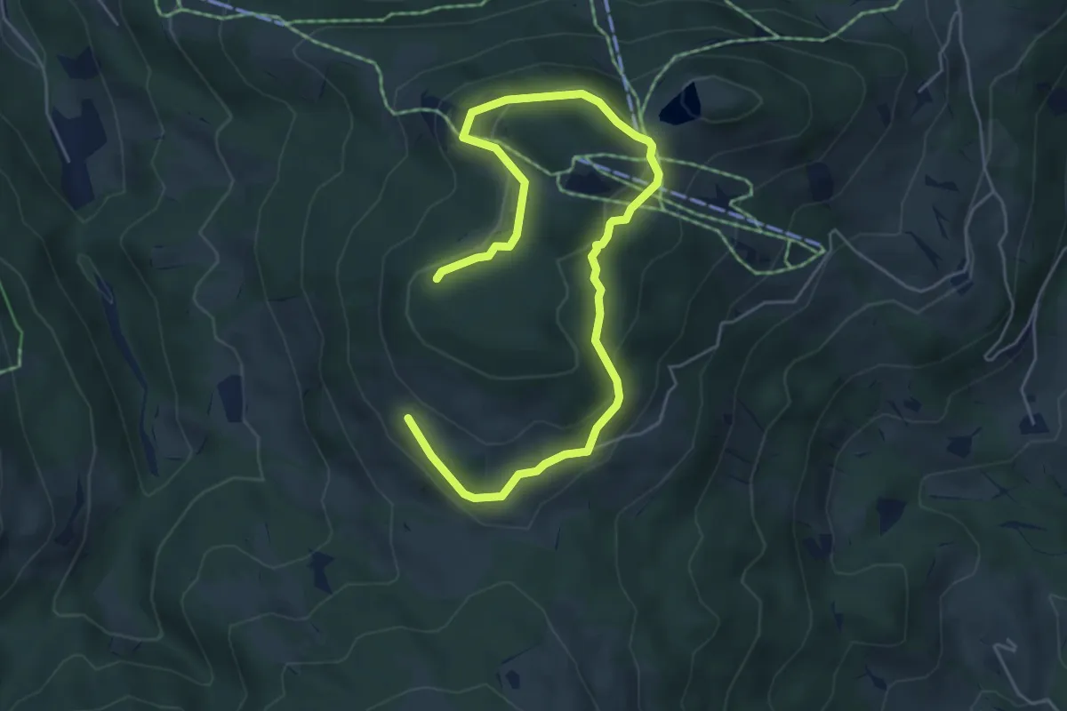
Easy · Trail
Wanderweg 9 - Wilder Kaiser
6.7 km · ↑ 222 m · 2 h 4 min
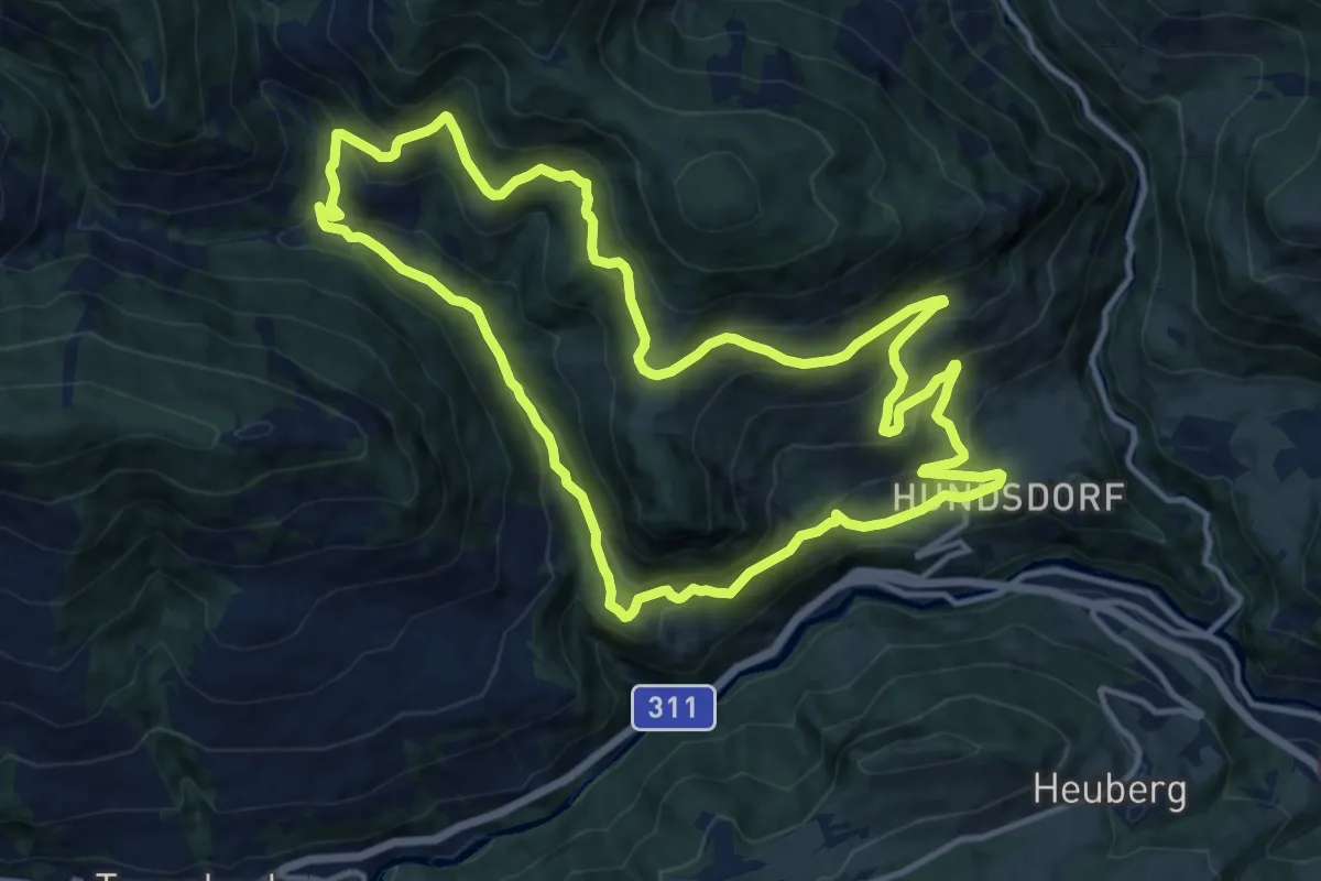
Medium · Trail
Wanderweg 9 (Ziegelhüttenrundweg)
13.3 km · ↑ 592 m · 4 h 35 min
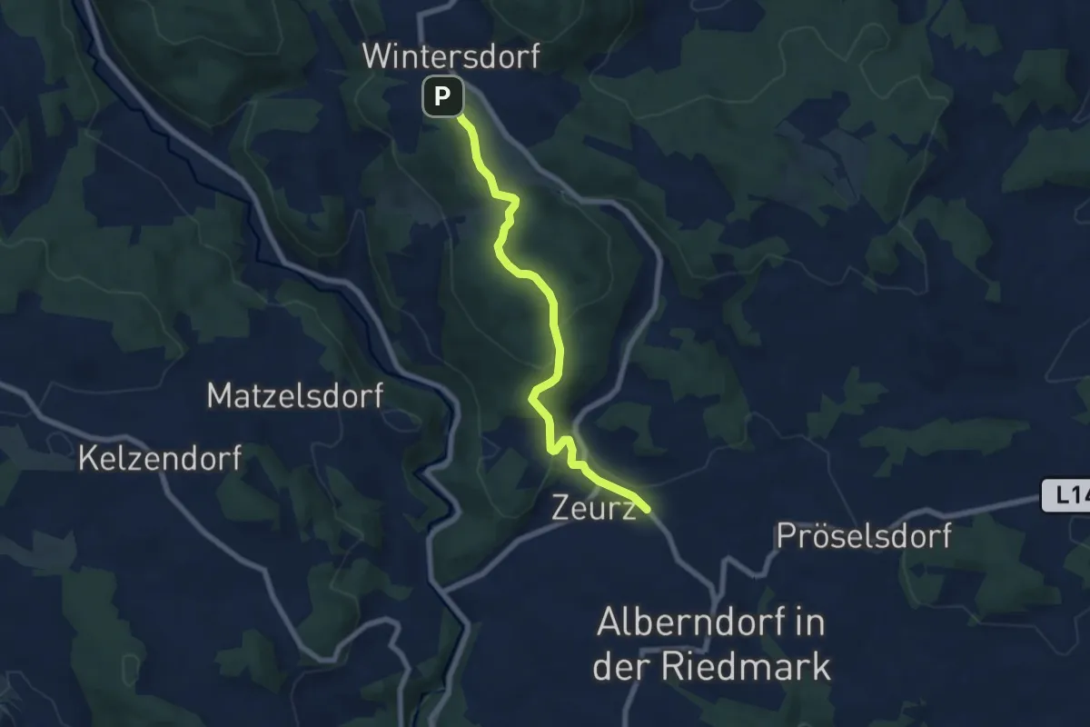
Easy · Trail
Wanderweg A10 Landschaftsschutzgebiet "Roadlberg"
6.5 km · ↑ 171 m · 1 h 54 min
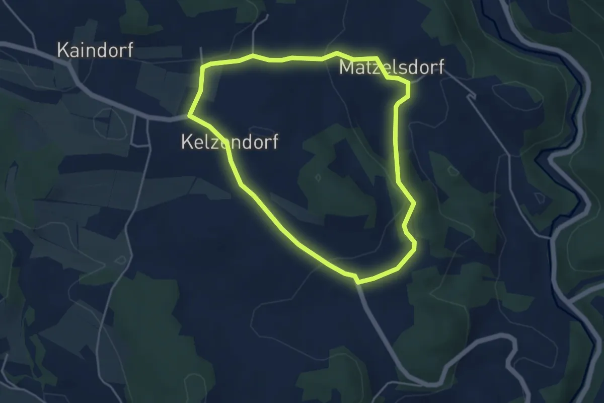
Easy · Trail
Wanderweg A11 Rundweg Weikersdorf - Matzelsdorf - Kelzendorf
3.6 km · ↑ 91 m · 1 h 6 min
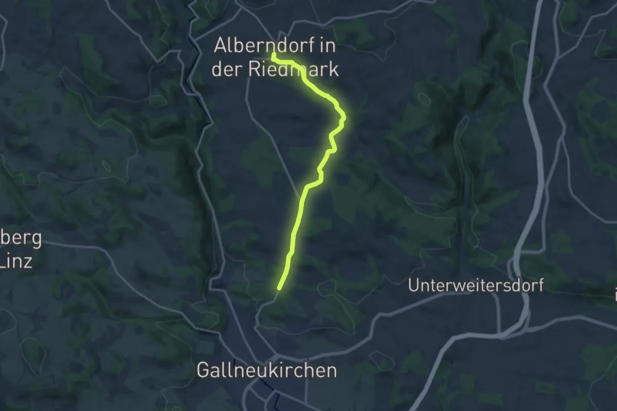
Medium · Trail
Wanderweg A12 über Spattendorf nach Gallneukirchen
11.2 km · ↑ 211 m · 3 h 6 min
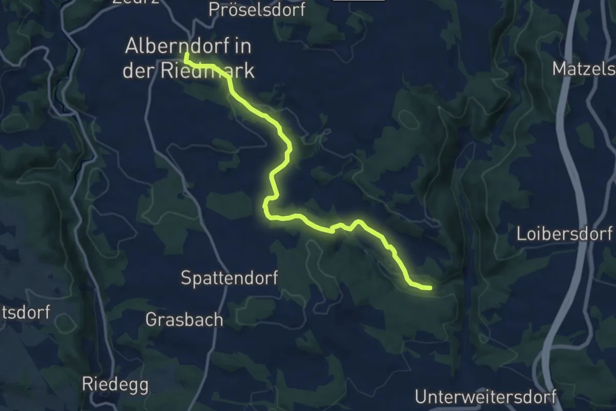
Medium · Trail
Wanderweg A13 von Alberndorf zur Pferdeeisenbahn
11.3 km · ↑ 270 m · 3 h 15 min
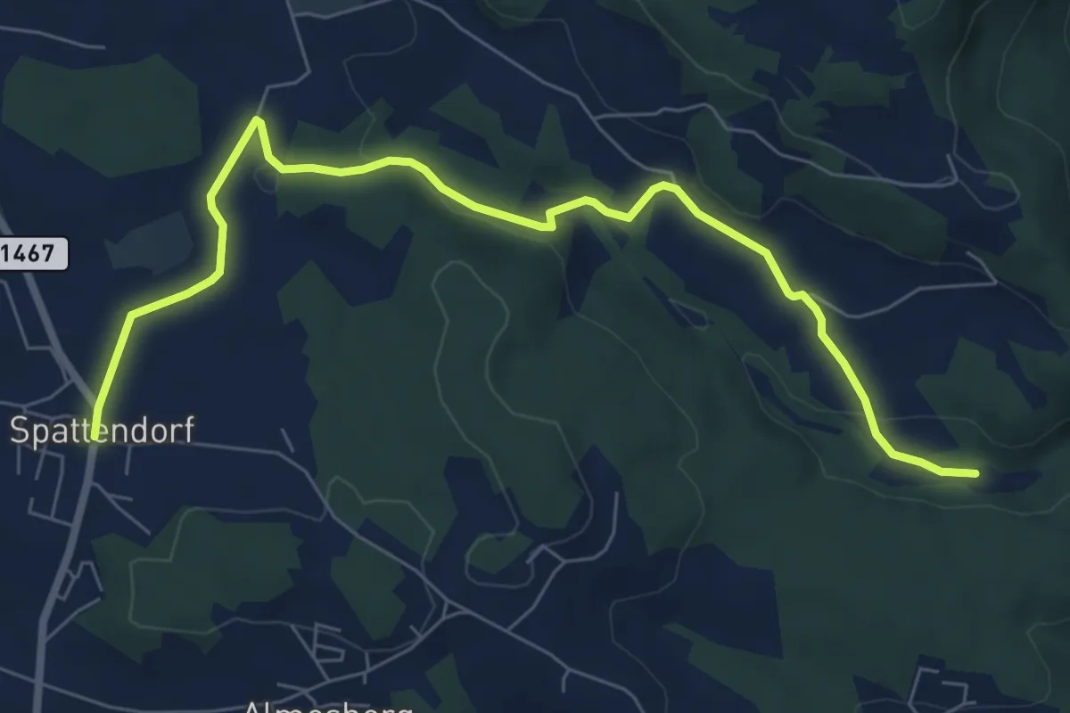
Easy · Trail
Wanderweg A14 von Spattendorf zur Pferdeeisenbahn
7.8 km · ↑ 175 m · 2 h 13 min
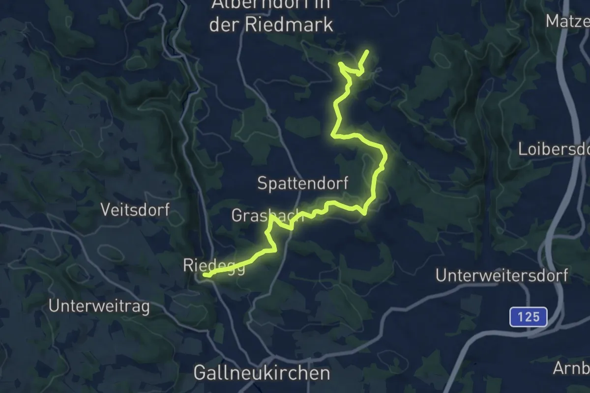
Medium · Trail
Wanderweg A15 Whisky-Tour
16.0 km · ↑ 395 m · 4 h 38 min
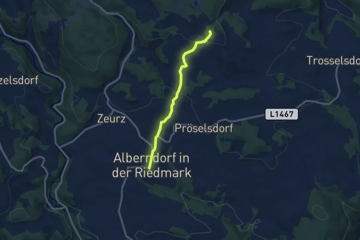
Easy · Summit
Wanderweg A1 Alberndorf - Aschlberg
5.5 km · ↑ 203 m · 1 h 45 min
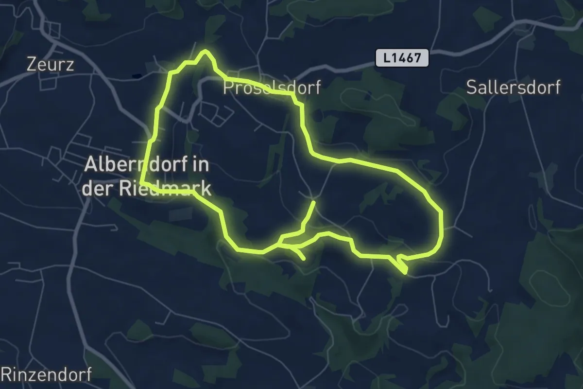
Easy · Trail
Wanderweg A2 Rundweg über Oberweitersdorf und Loitzendorf
6.8 km · ↑ 198 m · 2 h 6 min