Trails in Austria
9,777 hiking trails, each with its route, climb, walking time and grade.
All trails, page 184 of 204
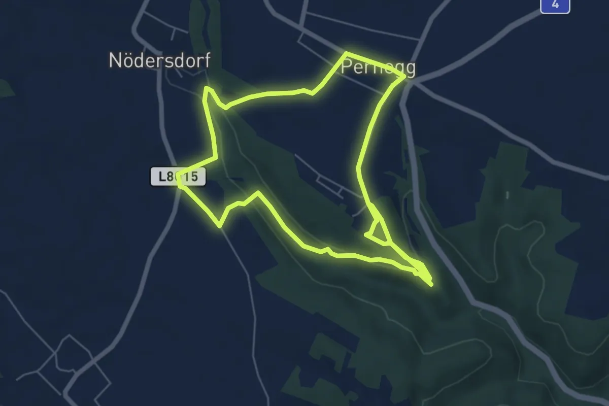
Medium · Trail
Weg zur Stille
10.7 km · ↑ 248 m · 3 h 5 min
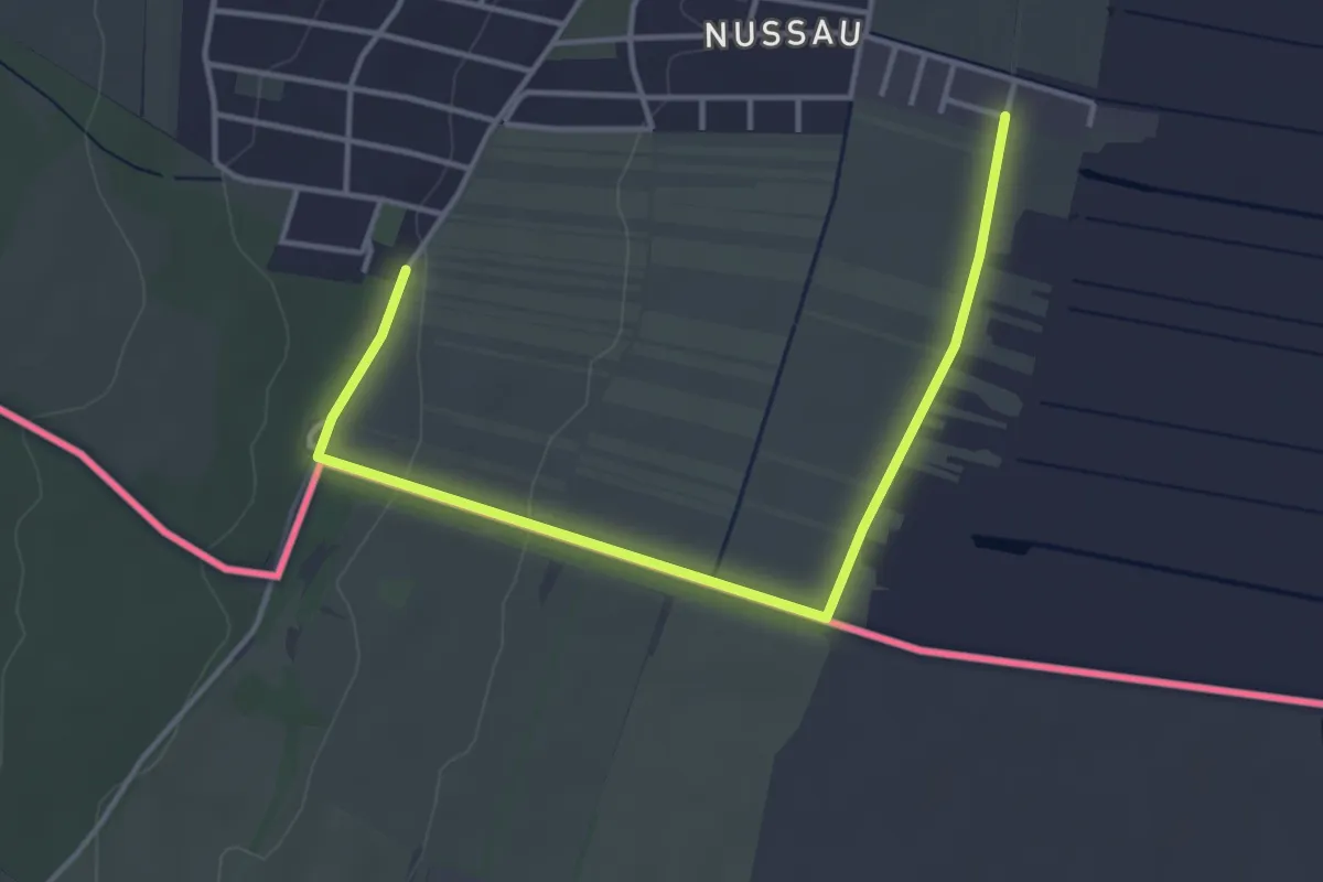
Easy · Trail
Weichselweg
2.1 km · ↑ 5 m · 33 min
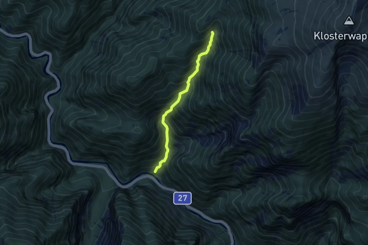
Demanding · Cabin
Weichtalklamm
4.7 km · ↑ 638 m · 2 h 30 min
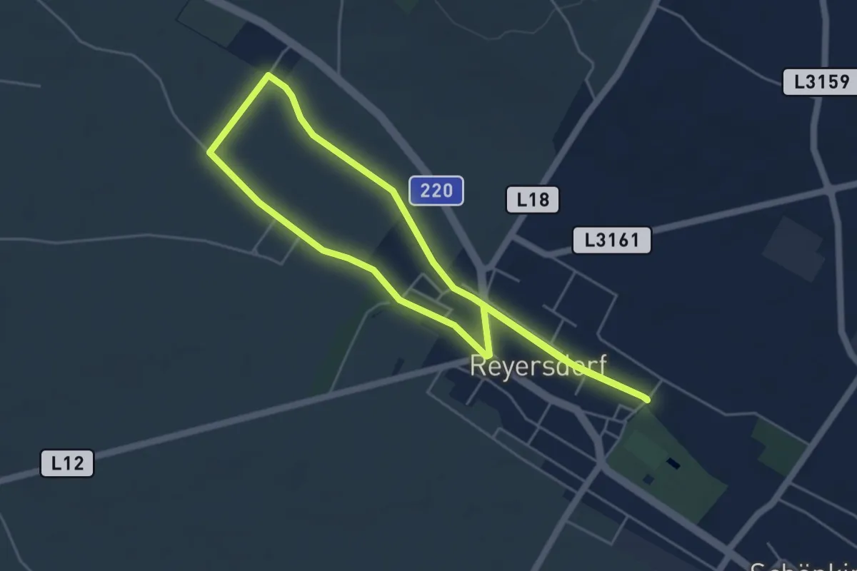
Easy · Trail
Weidenbachrunde
4.4 km · ↑ 4 m · 1 h 7 min
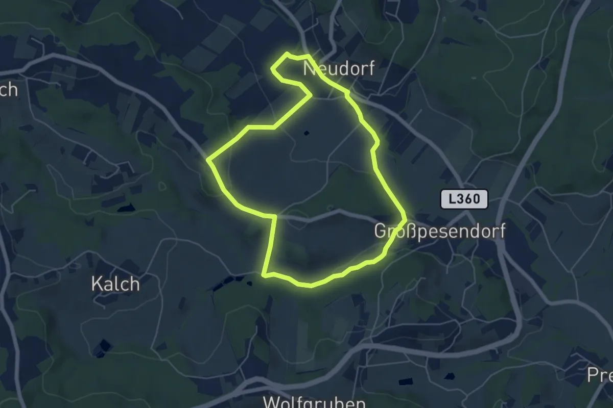
Easy · Trail
Weidendorf Rundweg
5.1 km · ↑ 79 m · 1 h 26 min
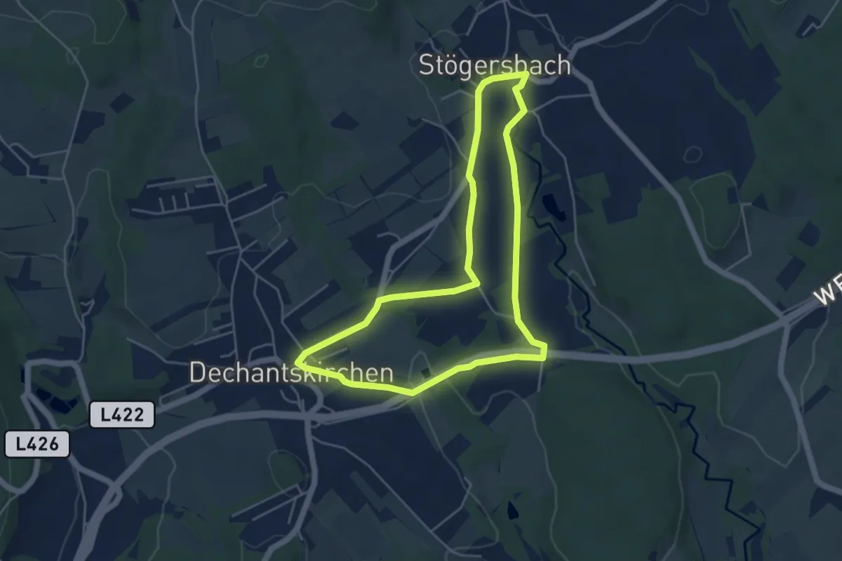
Easy · Trail
Weidenweg (Weg C, 5,0 km)
4.5 km · ↑ 53 m · 1 h 14 min
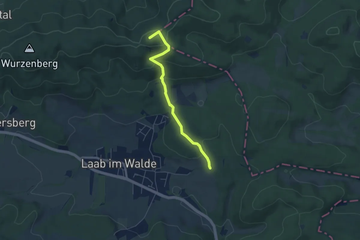
Easy · Summit
Weidlingau - Laab im Walde
4.9 km · ↑ 176 m · 1 h 33 min
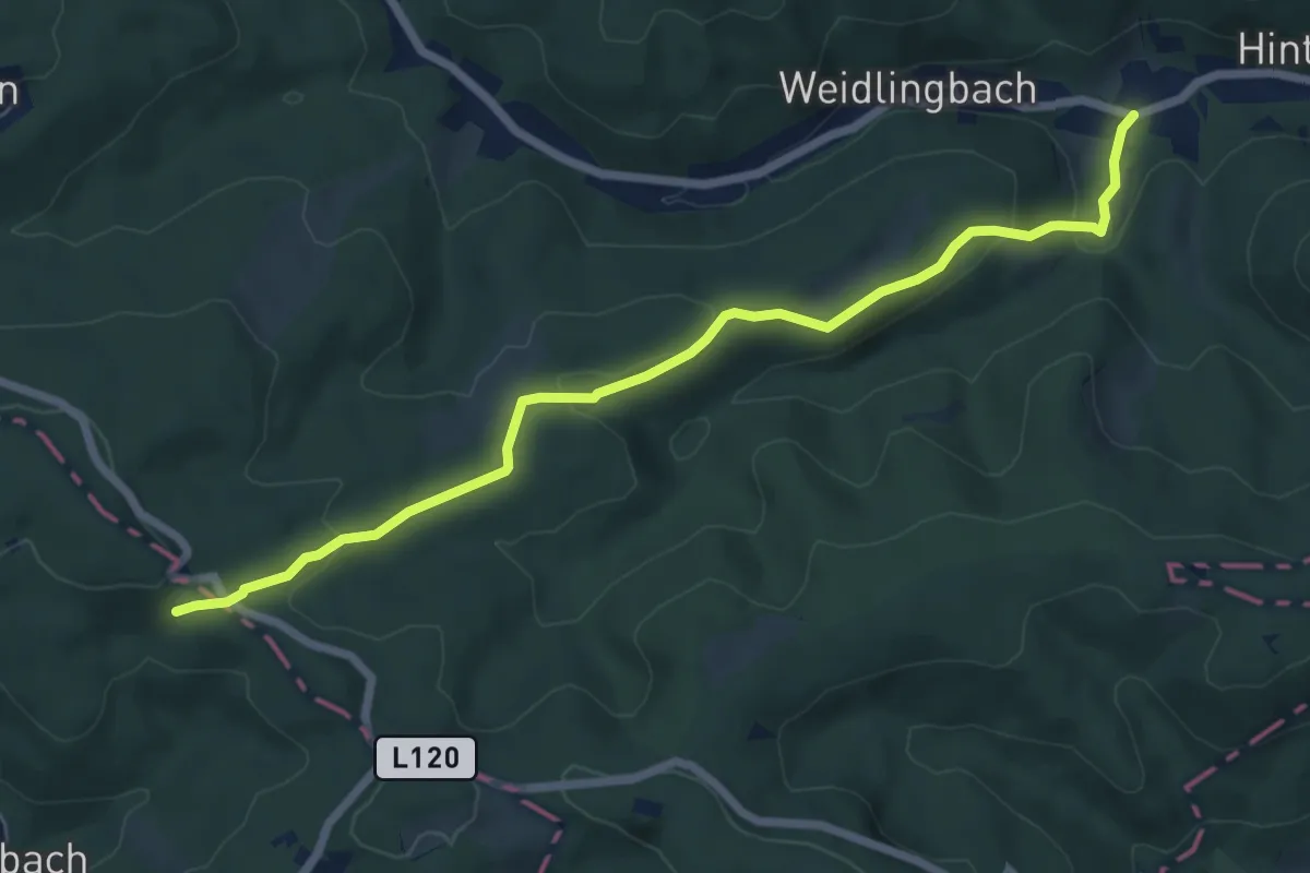
Easy · Trail
Weidlingbach/Dombachgraben - Moosbrunner Boden
6.8 km · ↑ 198 m · 2 h 2 min
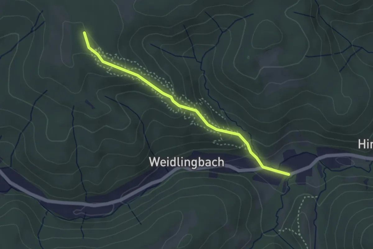
Easy · Summit
Weidlingbach/Dombachgraben - Taferlberg
3.2 km · ↑ 193 m · 1 h 11 min
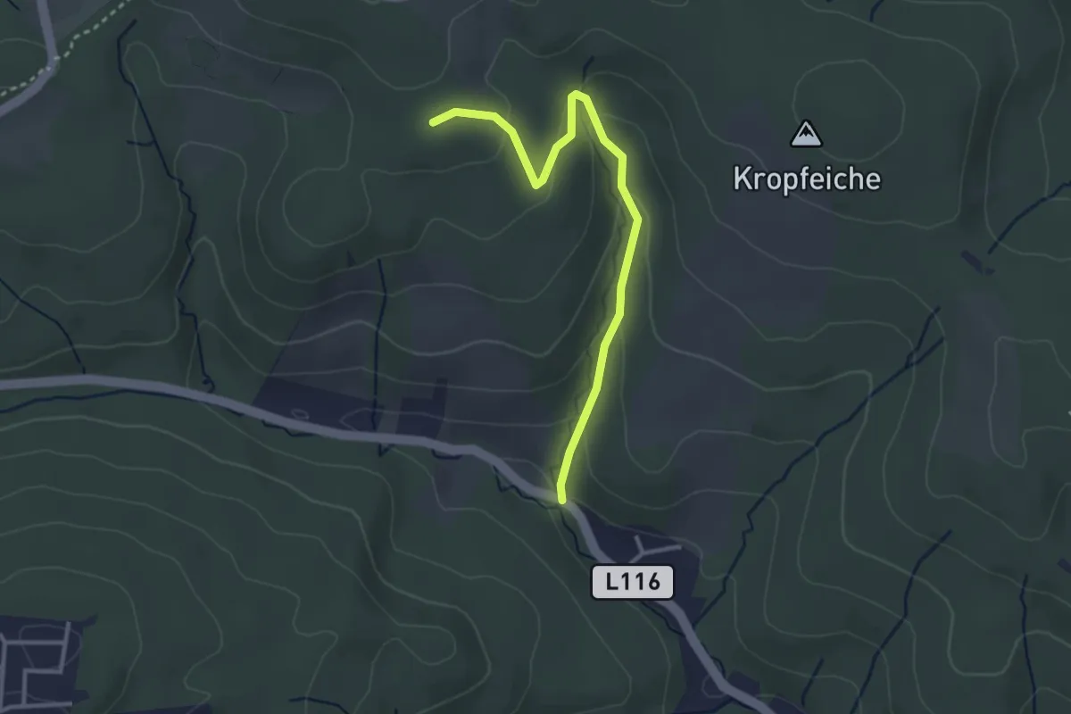
Easy · Summit
Weidlingbach/Fuchsgraben - Windischhütte
3.1 km · ↑ 133 m · 1 h 1 min
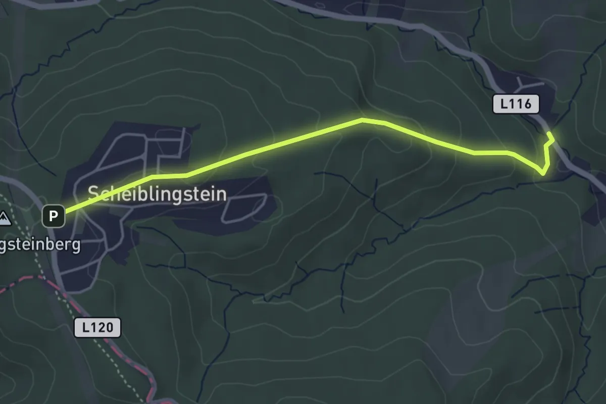
Easy · Trail
Weidlingbach/Hinterer Kellergraben - Scheiblingstein
4.2 km · ↑ 174 m · 1 h 22 min
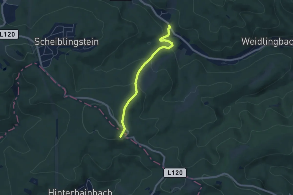
Easy · Trail
Weidlingbach/Hinterer Kellergraben - Schutzengelberg
4.4 km · ↑ 179 m · 1 h 25 min
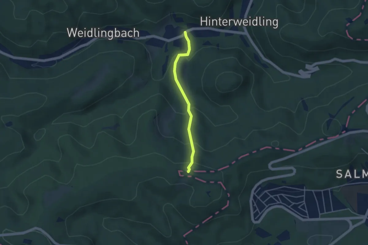
Medium · Summit
Weidlingbach/Reitergassl - Hameau
3.0 km · ↑ 216 m · 1 h 11 min
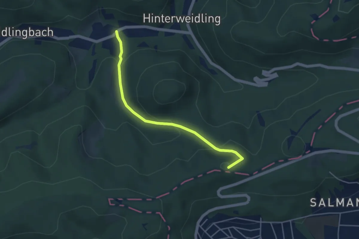
Easy · Summit
Weidlingbach/Reitergassl - Höhenstraße/Zwei Gehängte
3.6 km · ↑ 179 m · 1 h 14 min
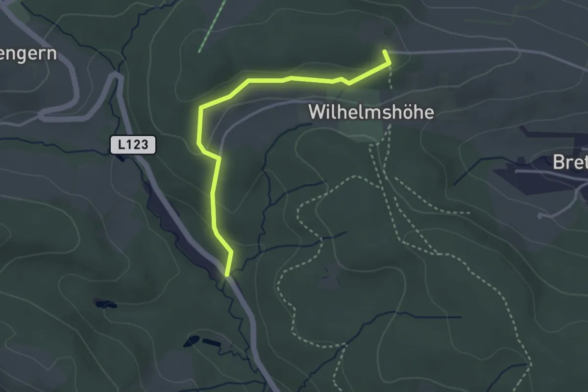
Easy · Trail
Weidlingbachstraße - Buchberg/Wilhelmshöhe
2.9 km · ↑ 86 m · 52 min
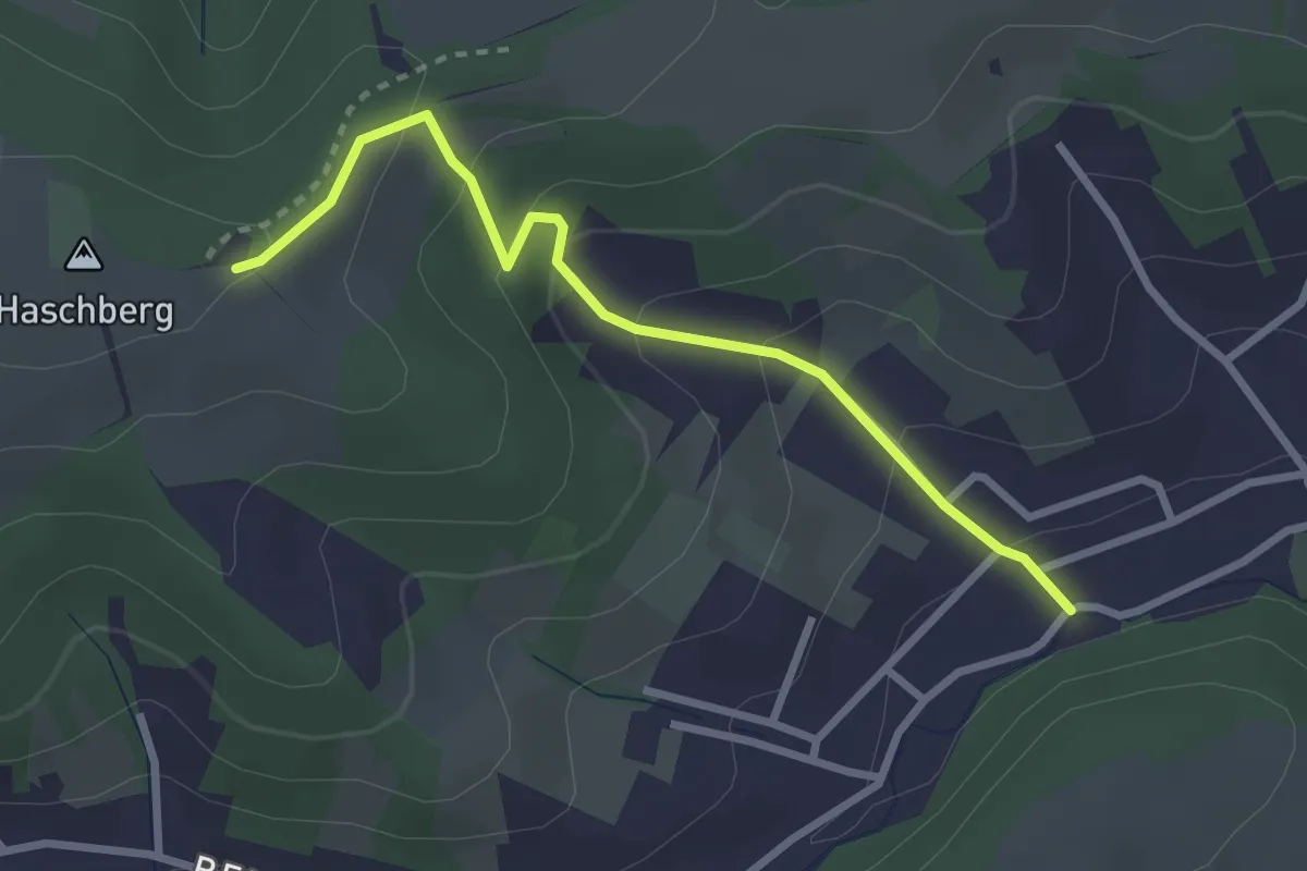
Easy · Trail
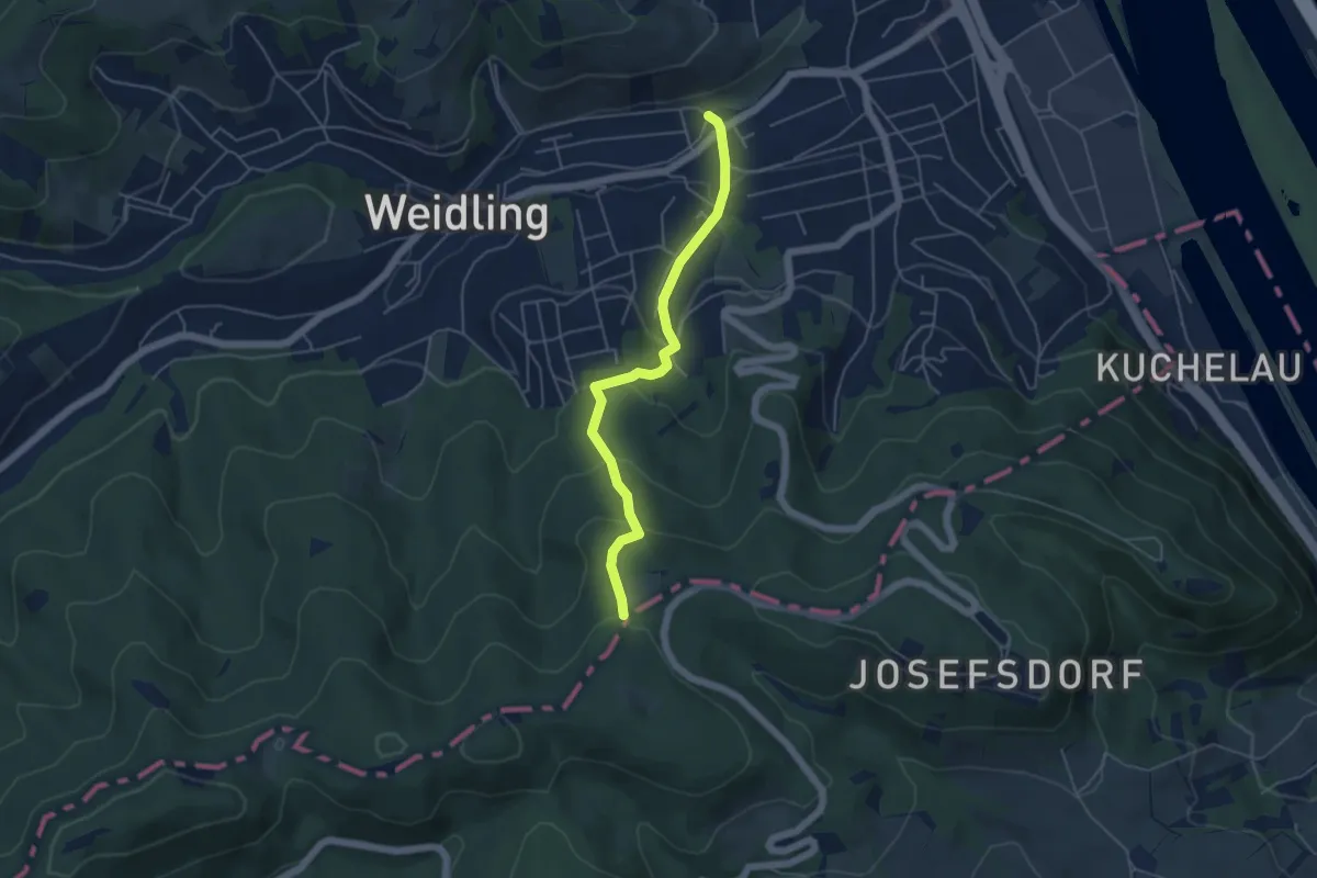
Weidling/Elisabethgasse – Haschhof (Dr. Walter Brandstetter Weg)
2.7 km · ↑ 173 m · 1 h 1 min
Easy · Trail
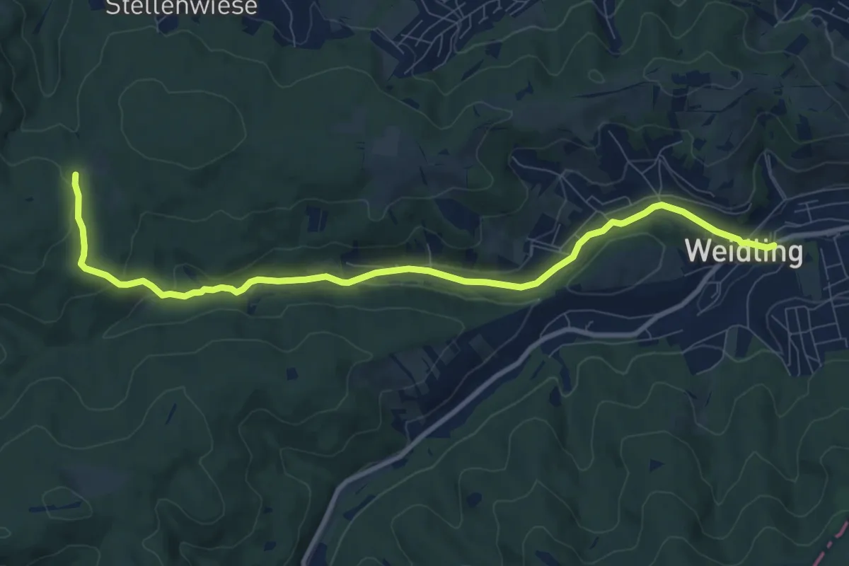
Weidling/Gasthaus Trat - Sulzwiese (Ing. Erich Bauer Weg)
4.6 km · ↑ 264 m · 1 h 39 min
Medium · Trail
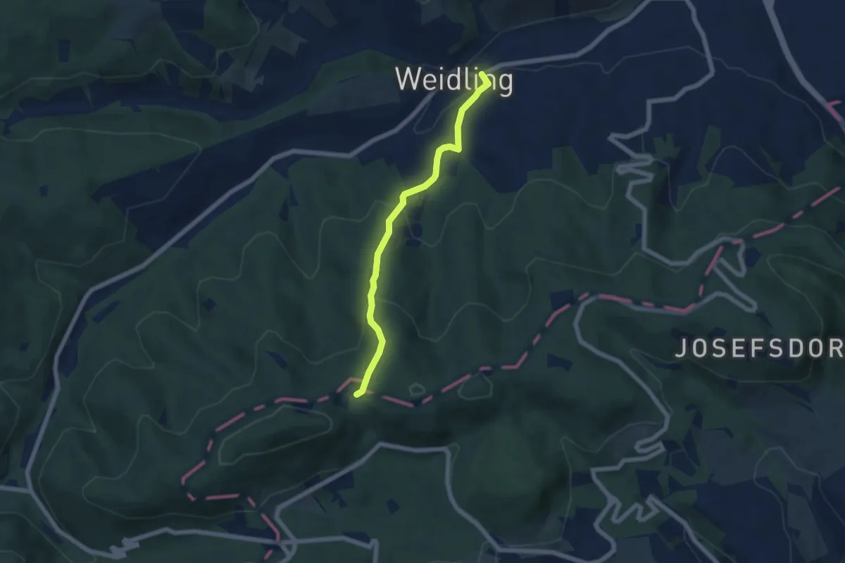
Weidling - Hohenauer Wiese
9.8 km · ↑ 195 m · 2 h 44 min
Easy · Trail
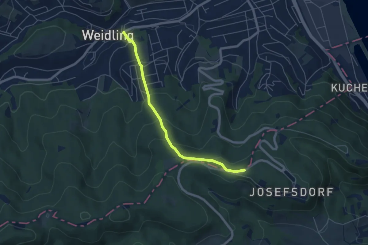
Weidling - Jägerwiese (Karl Johann Grünberger Weg)
5.0 km · ↑ 263 m · 1 h 45 min
Easy · Trail
Weidling - Kahlenberg/Brücke
4.5 km · ↑ 273 m · 1 h 40 min
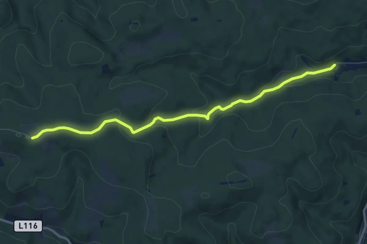
Easy · Trail
Weidling/Rotgraben – Windischhütte
7.5 km · ↑ 239 m · 2 h 17 min
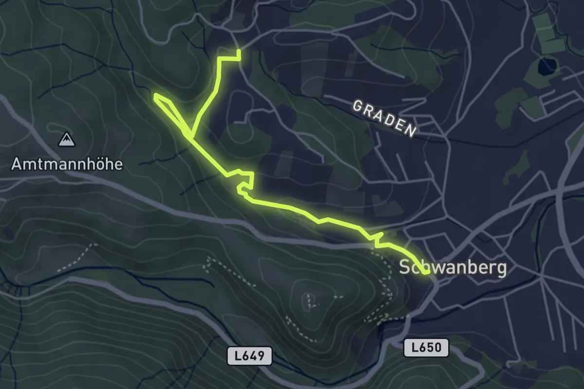
Medium · Trail
Weiherbach-Weg
2.4 km · ↑ 112 m · 48 min
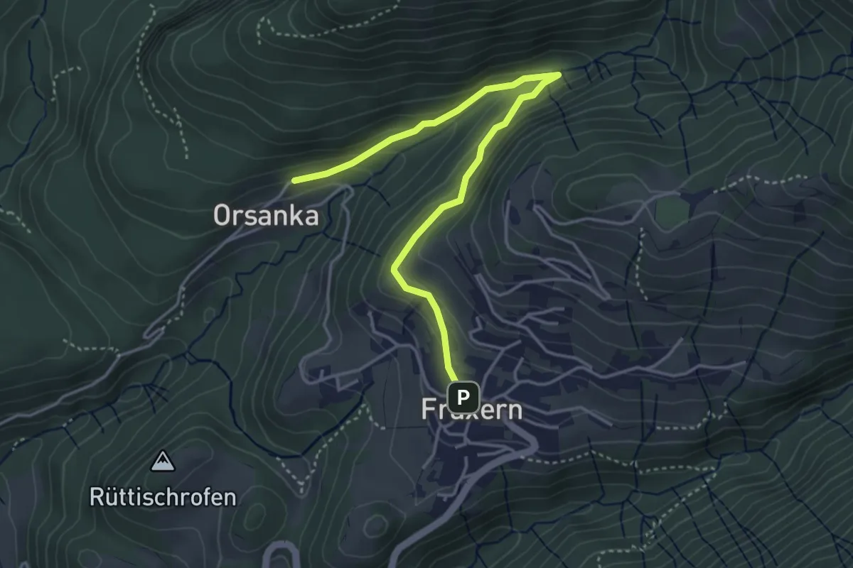
Easy · Trail
Weiherweg
4.2 km · ↑ 161 m · 1 h 21 min
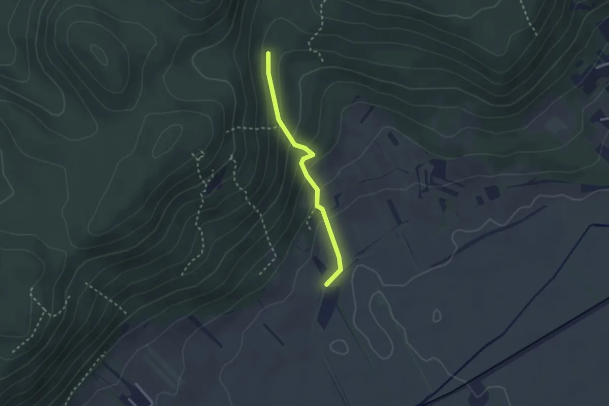
Easy · Trail
Weikersdorf - Engelsberg
2.2 km · ↑ 114 m · 45 min
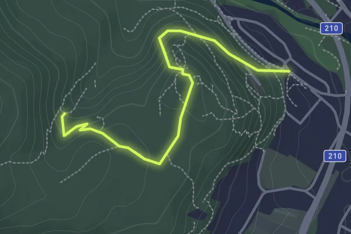
Medium · Trail
Weilburgwappen -Rauheneck - Königshöhle
3.0 km · ↑ 185 m · 1 h 7 min
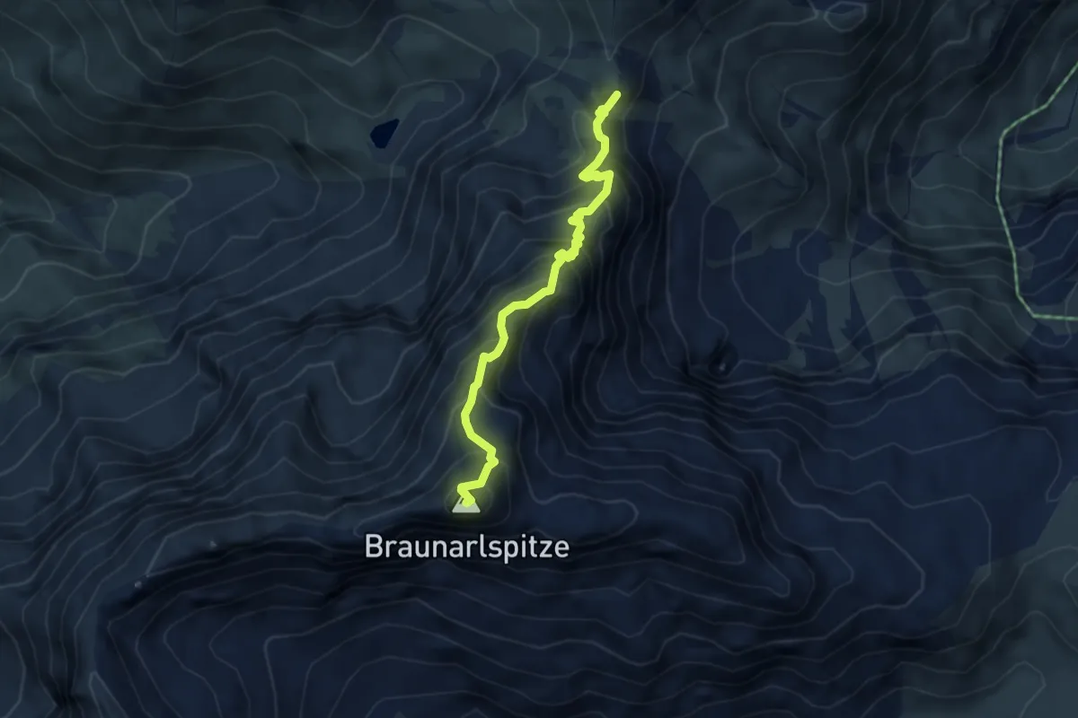
Expert · Summit
Weimarer Steig
4.1 km · ↑ 551 m · 2 h 10 min
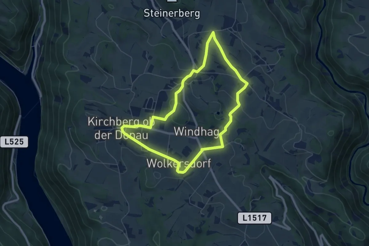
Easy · Trail
Weinbergrunde
5.7 km · ↑ 141 m · 1 h 43 min
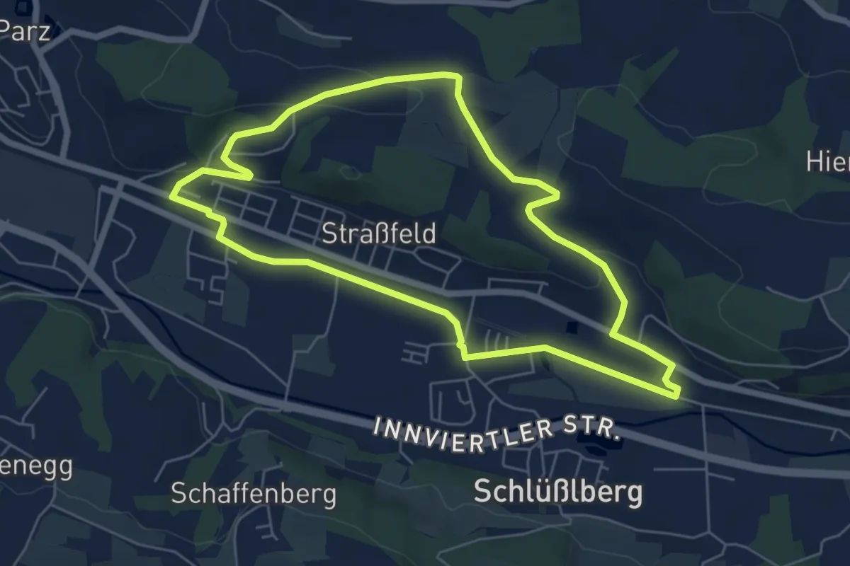
Easy · Trail
Weinberg-Runde
5.5 km · ↑ 94 m · 1 h 34 min
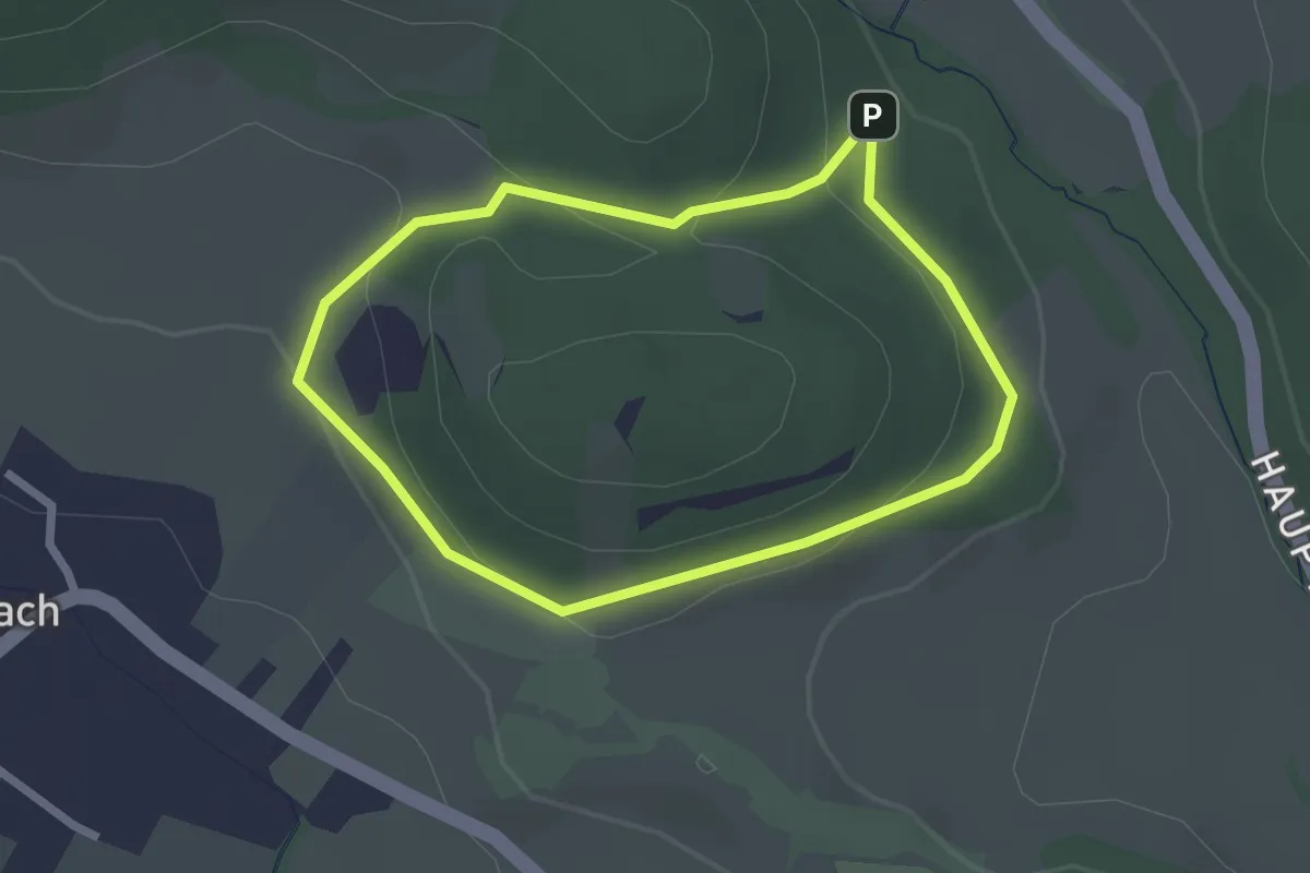
Easy · Trail
Weinberg Rundwanderweg 7
2.0 km · ↑ 42 m · 36 min
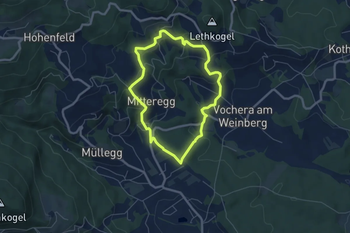
Easy · Trail
Weinberg-Rundweg
4.8 km · ↑ 242 m · 1 h 44 min
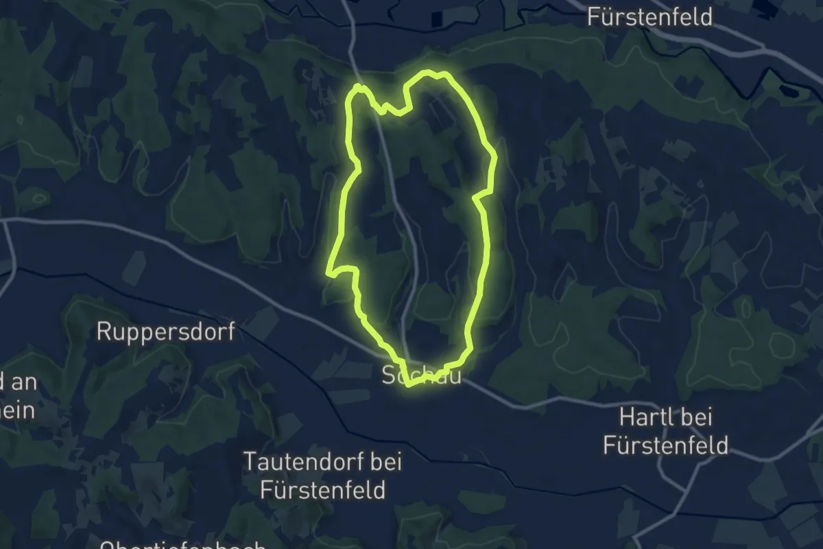
Medium · Trail
Weinbergtour
9.0 km · ↑ 161 m · 2 h 36 min
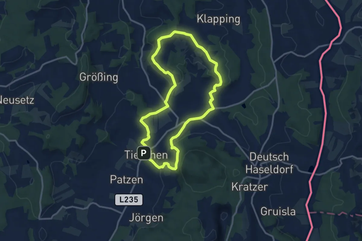
Medium · Trail
Weinbergweg
8.8 km · ↑ 239 m · 2 h 44 min
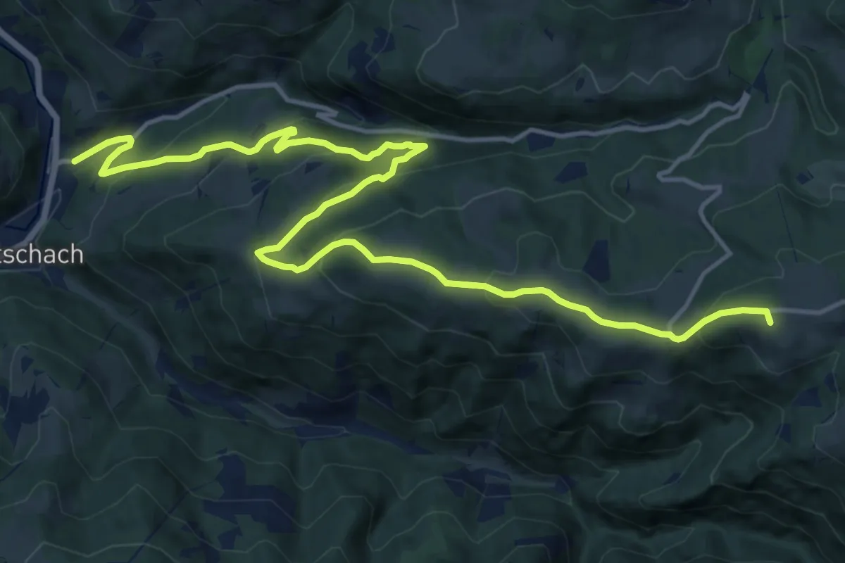
Medium · Summit
Weinebene - Weberwirt - Frantschach St. Gertraud
16.5 km · ↑ 783 m · 5 h 36 min
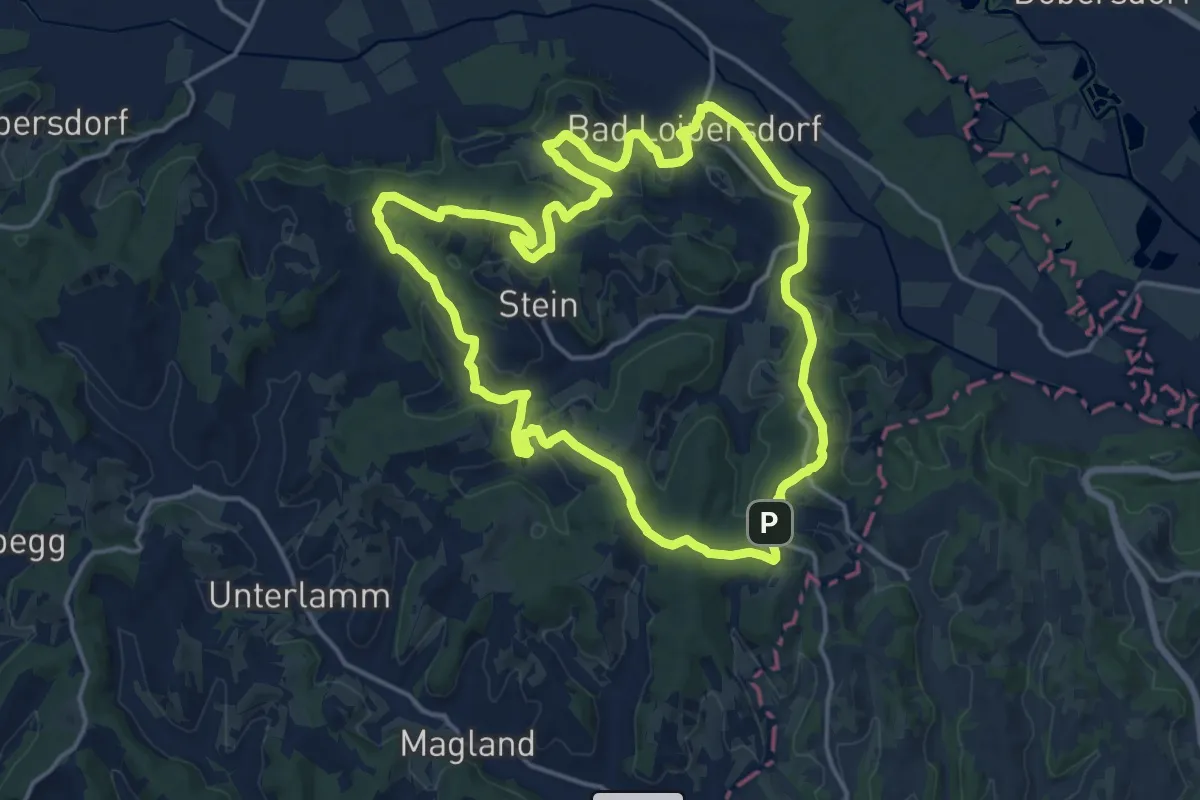
Medium · Trail
Wein-Erlebnis-Weg
16.5 km · ↑ 365 m · 4 h 55 min
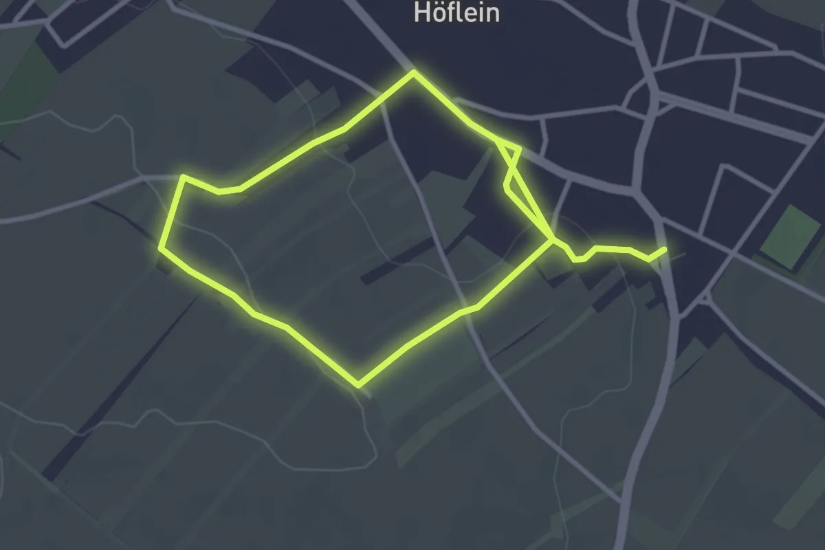
Easy · Trail
Weinerlebnisweg Höflein
2.6 km · ↑ 52 m · 45 min
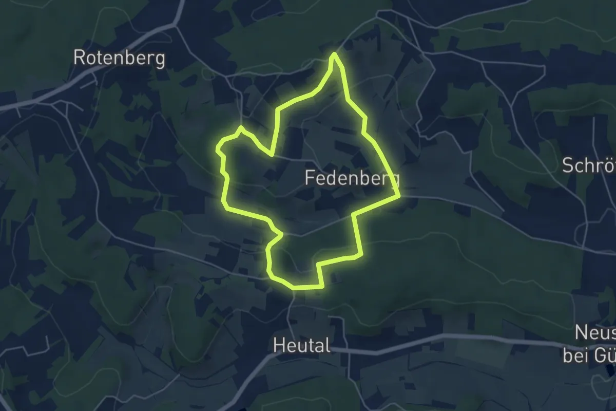
Easy · Trail
Weingartenrunde (Neusiedl bei Güssing)
4.6 km · ↑ 128 m · 1 h 25 min
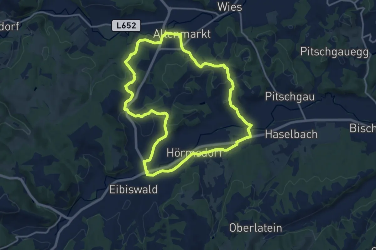
Medium · Trail
Weingarten-Tour
10.6 km · ↑ 207 m · 3 h 5 min
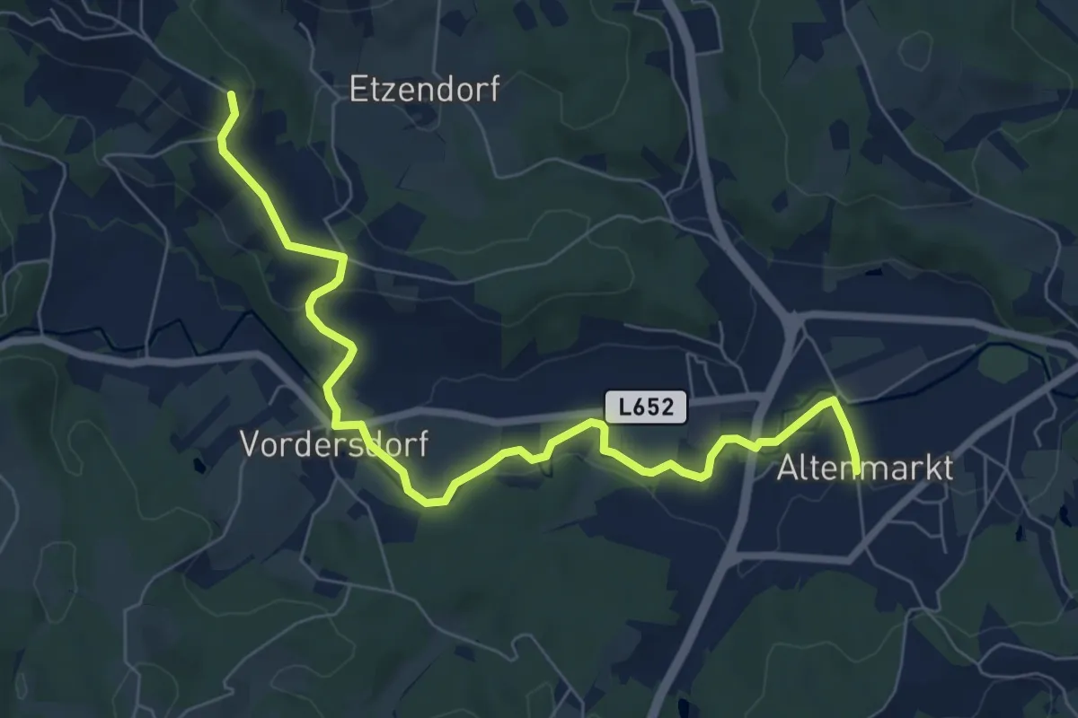
Easy · Trail
Weingartenweg
8.0 km · ↑ 135 m · 2 h 10 min
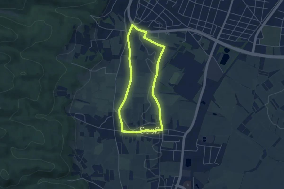
Easy · Trail
Weingartenweg
4.0 km · ↑ 17 m · 1 h 3 min
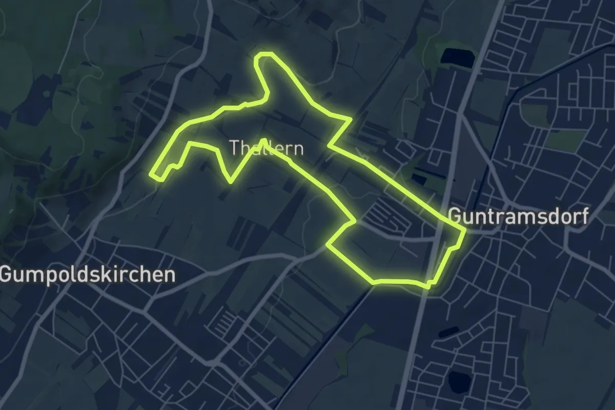
Easy · Trail
Weingartenweg
6.3 km · ↑ 65 m · 1 h 43 min
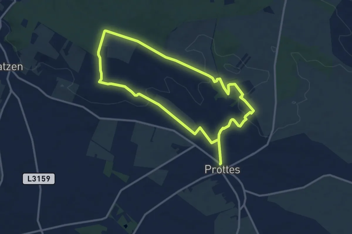
Easy · Trail
wein.hügel.weg
7.8 km · ↑ 127 m · 2 h 13 min
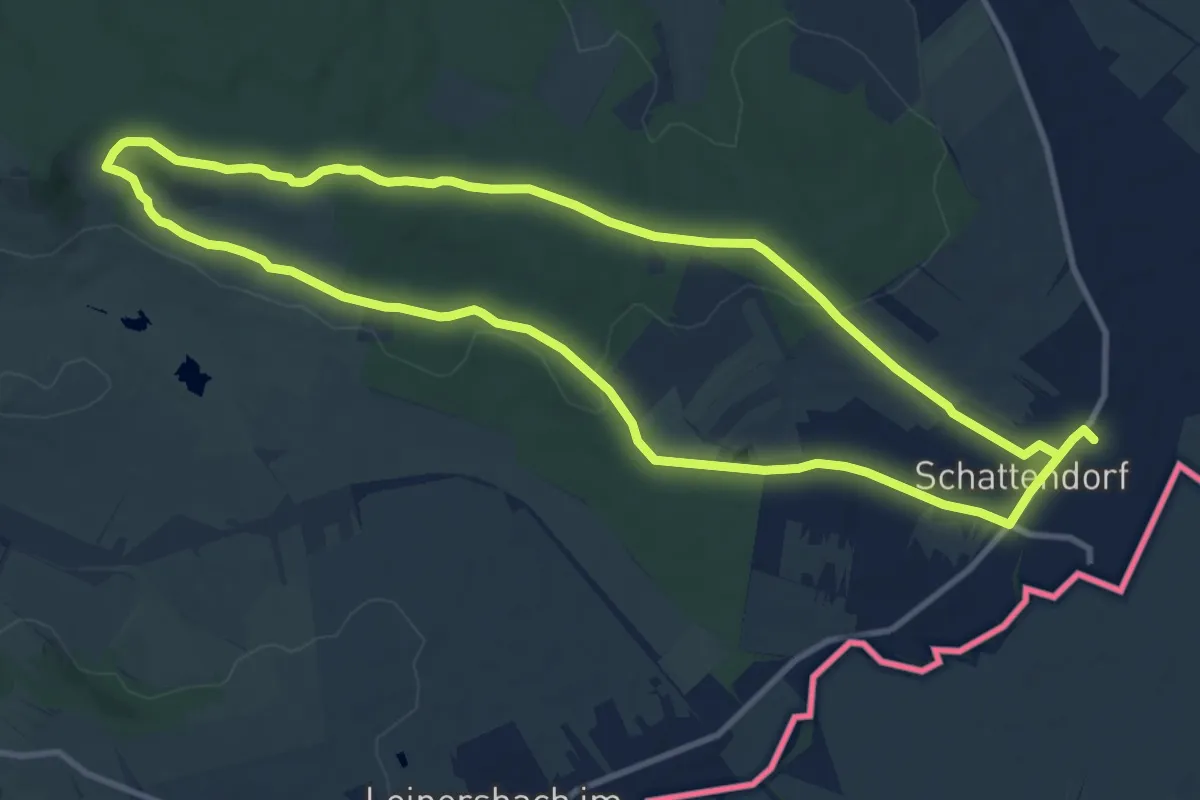
Medium · Trail
Wein.Kräuter.Weg
10.6 km · ↑ 129 m · 2 h 55 min
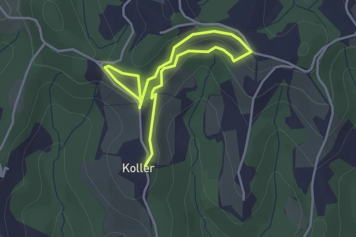
Easy · Trail
Weinkulturweg
3.9 km · ↑ 178 m · 1 h 18 min
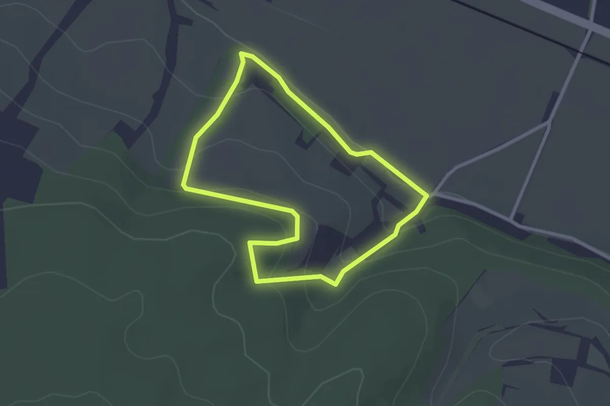
Easy · Trail
Weinlehrpfad
2.2 km · ↑ 82 m · 44 min
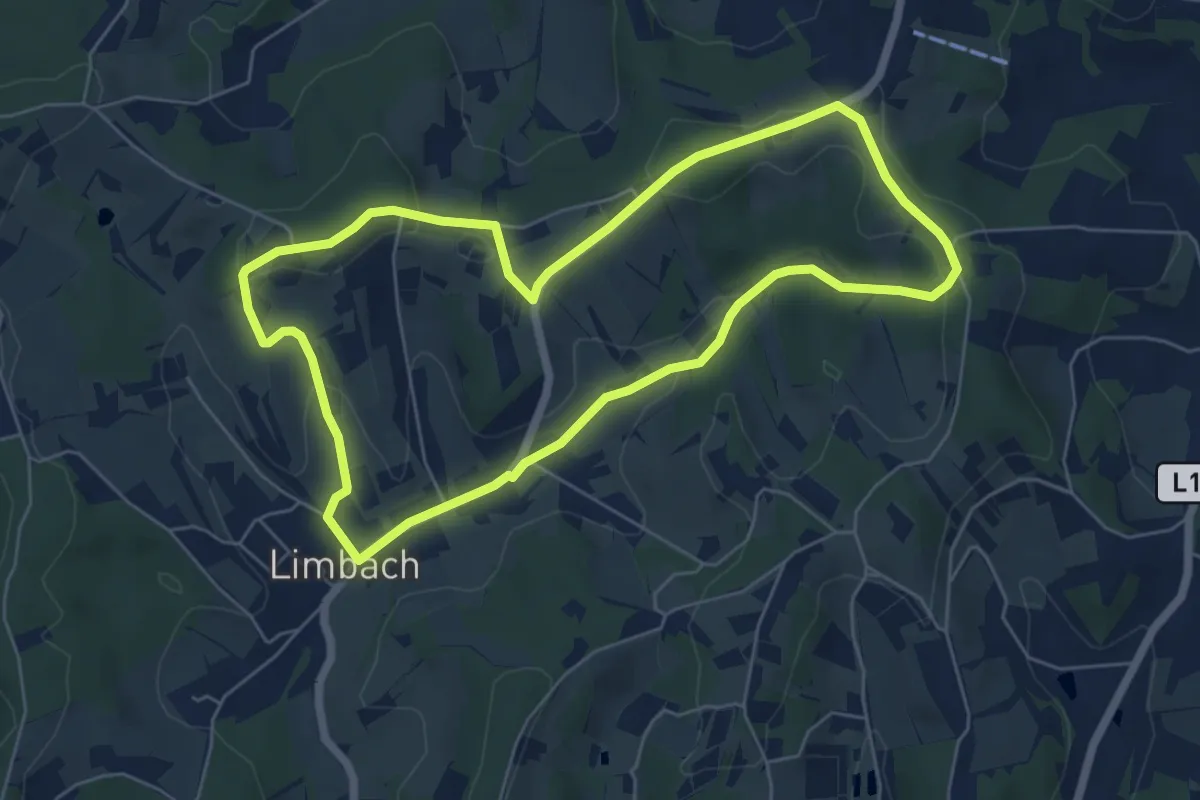
Easy · Trail
Weinpfad (Limbach)
6.0 km · ↑ 123 m · 1 h 46 min
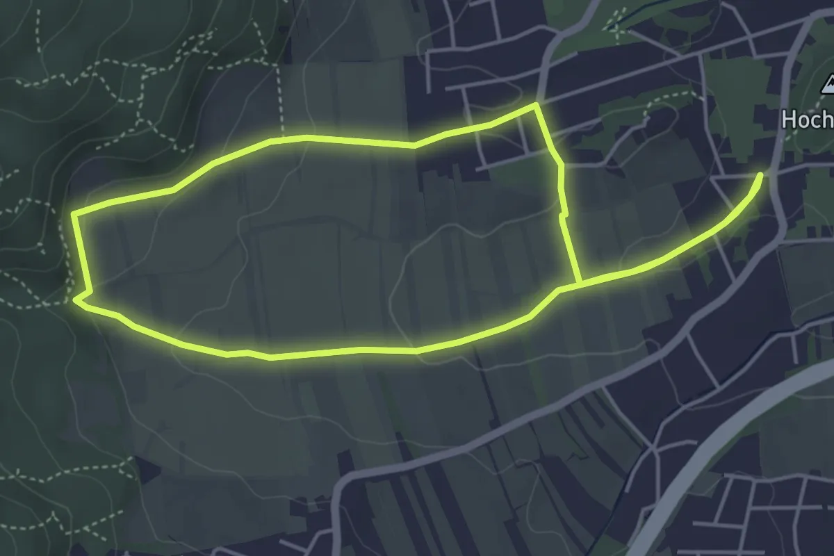
Easy · Summit
Weinrunde
4.4 km · ↑ 96 m · 1 h 19 min
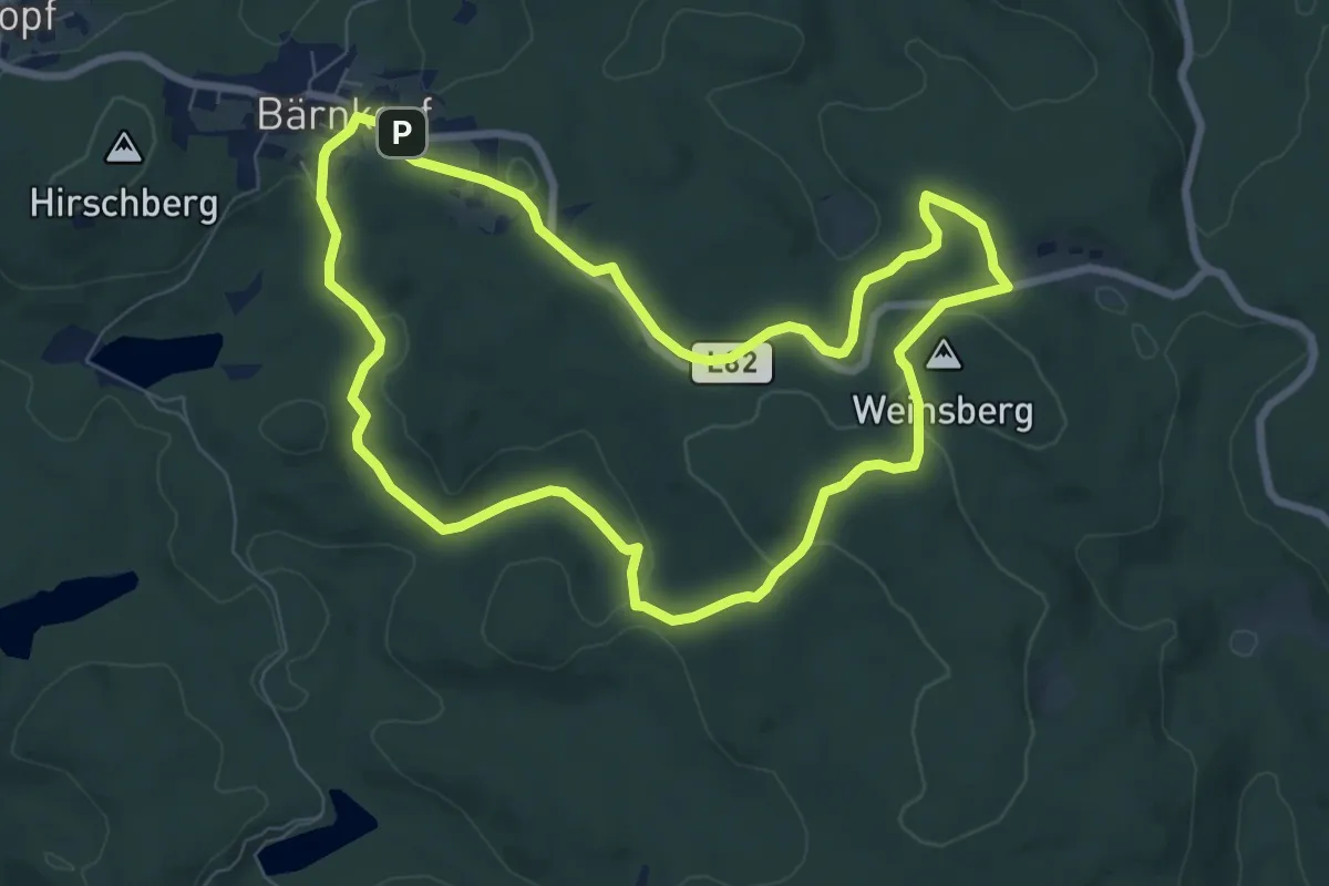
Easy · Summit
Weinsbergweg
7.6 km · ↑ 124 m · 2 h 10 min
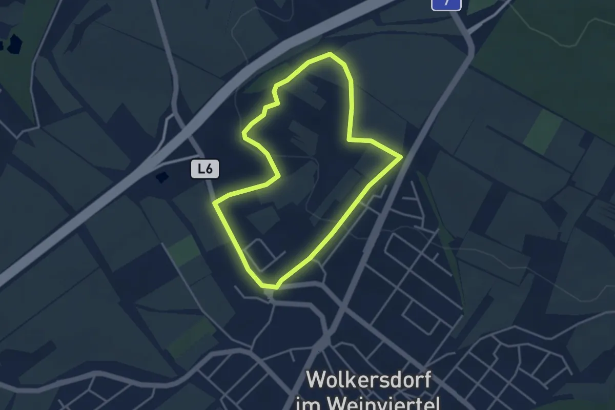
Easy · Trail
Wein- und Kulturwanderweg
3.1 km · ↑ 64 m · 55 min