Trails in Austria
9,779 hiking trails, each with its route, climb, walking time and grade.
All trails, page 67 of 204
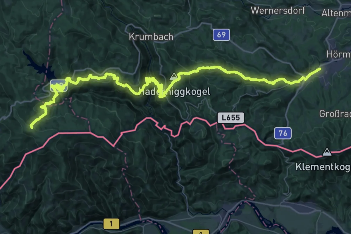
Demanding · Trail
Mariazellerweg 506
28.5 km · ↑ 804 m · 9 h 23 min
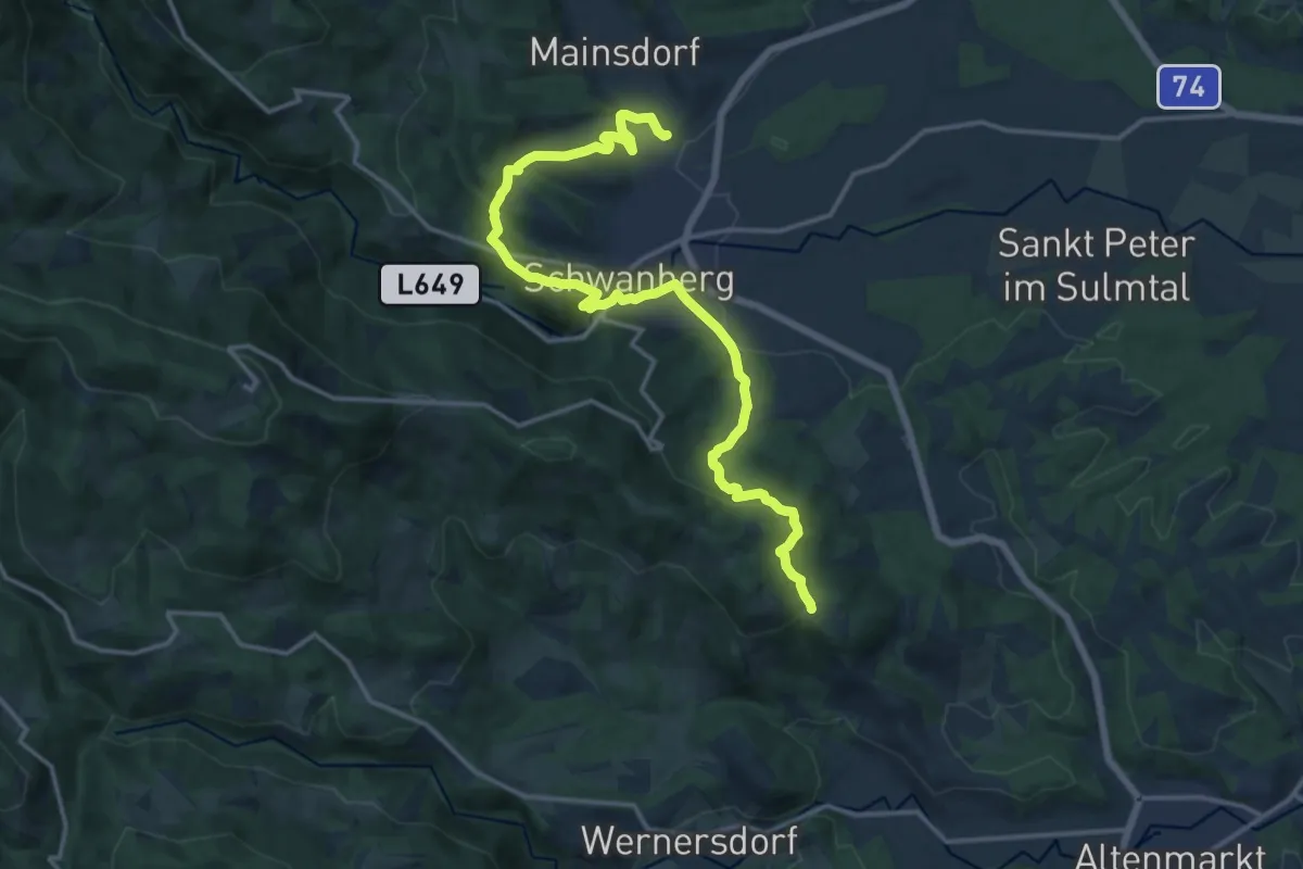
Medium · Trail
Mariazellerweg 506
17.0 km · ↑ 583 m · 5 h 16 min
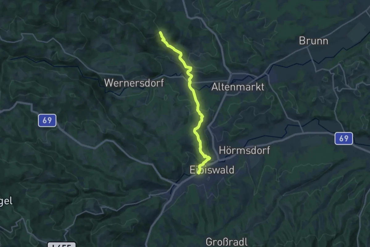
Medium · Trail
Mariazellerweg 506
14.1 km · ↑ 484 m · 4 h 22 min
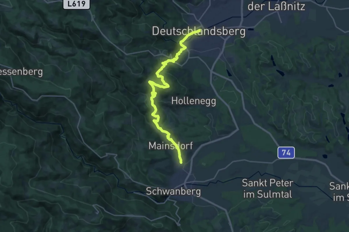
Demanding · Trail
Mariazellerweg 506
19.5 km · ↑ 756 m · 6 h 14 min
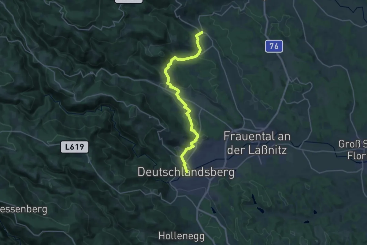
Demanding · Trail
Mariazellerweg 506
18.3 km · ↑ 393 m · 5 h 11 min
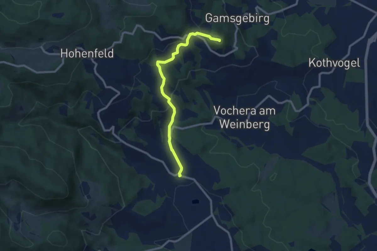
Medium · Summit
Mariazellerweg 506
6.2 km · ↑ 237 m · 1 h 59 min
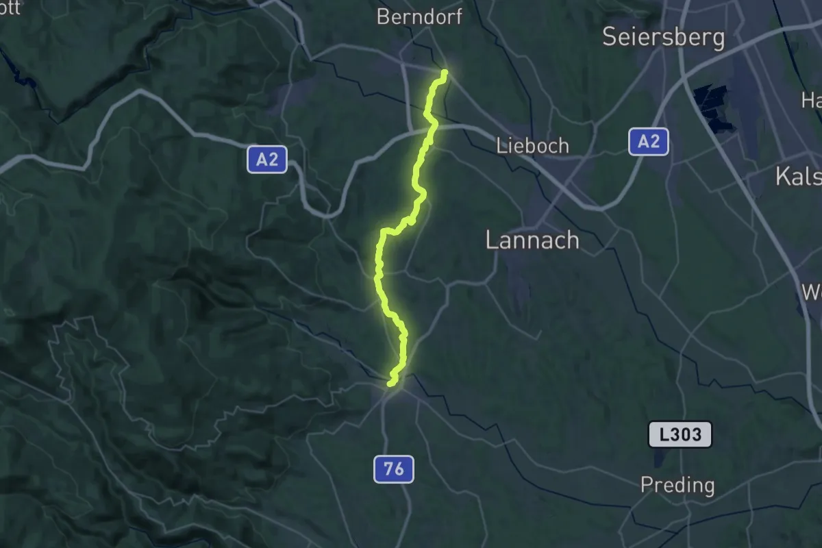
Medium · Trail
Mariazellerweg 506
15.5 km · ↑ 265 m · 4 h 26 min
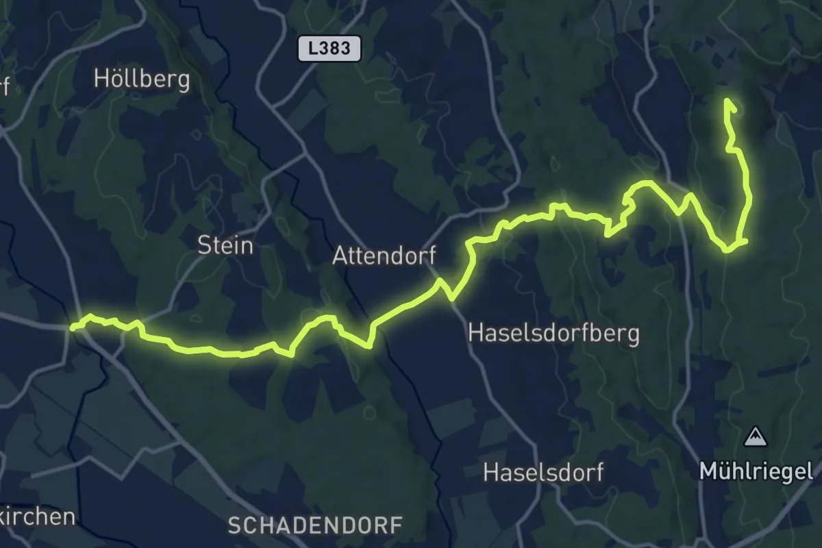
Demanding · Summit
Mariazellerweg 506
20.3 km · ↑ 526 m · 5 h 56 min
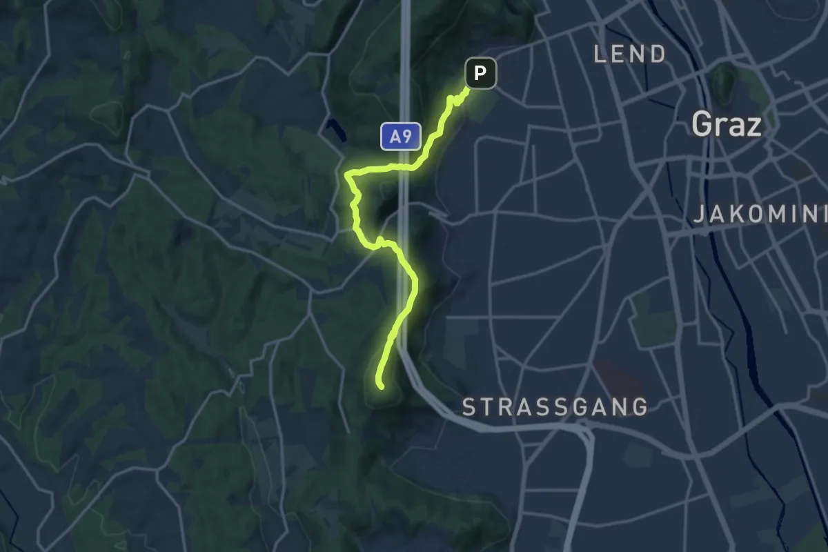
Medium · Summit
Mariazellerweg 506
13.6 km · ↑ 422 m · 4 h 7 min
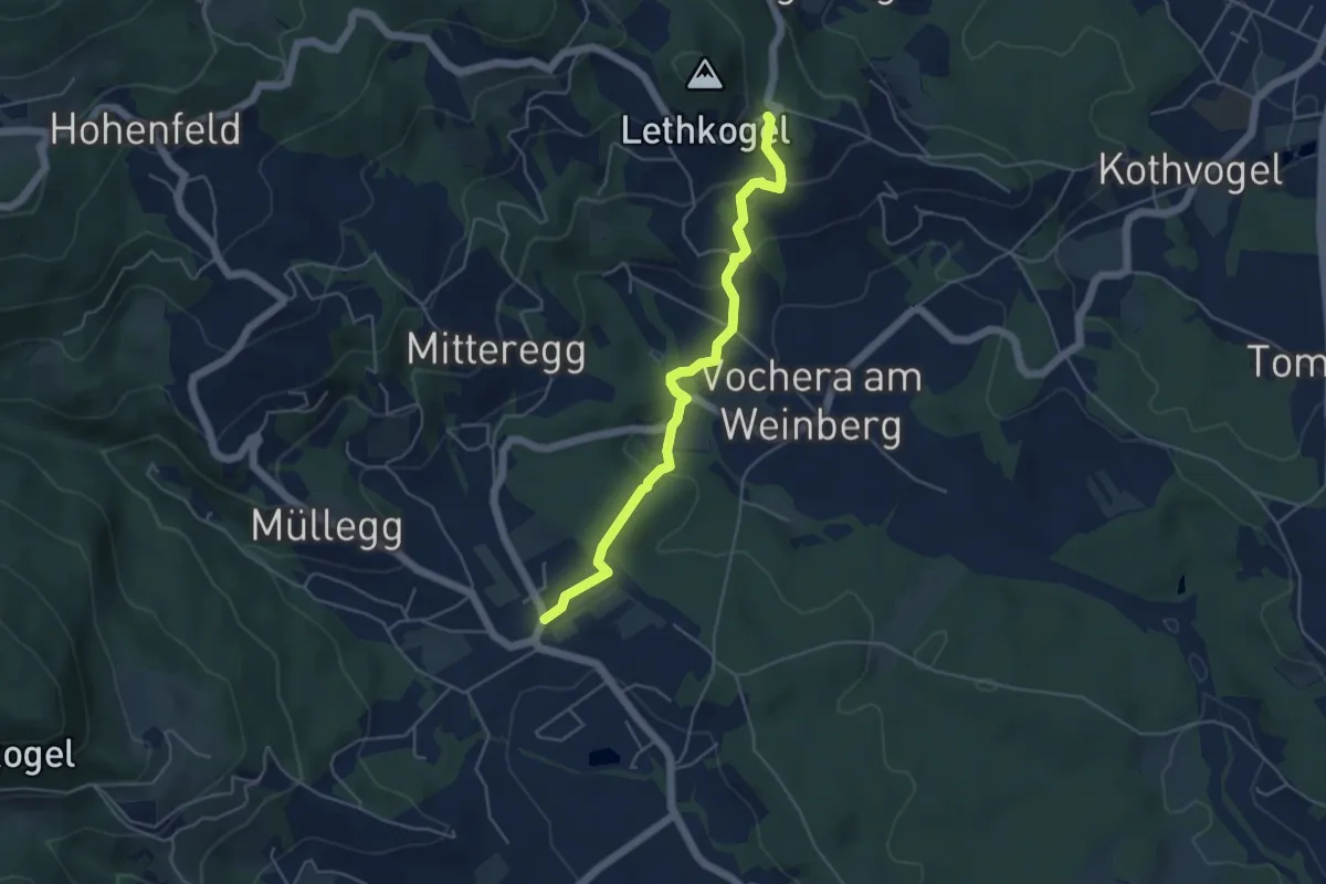
Easy · Trail
Mariazellerweg 506 Variante über Vocheraberg
4.7 km · ↑ 220 m · 1 h 36 min
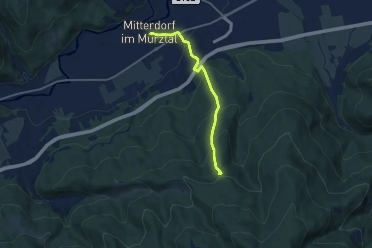
Medium · Summit
Mariazellerweg 706A
6.4 km · ↑ 395 m · 2 h 21 min
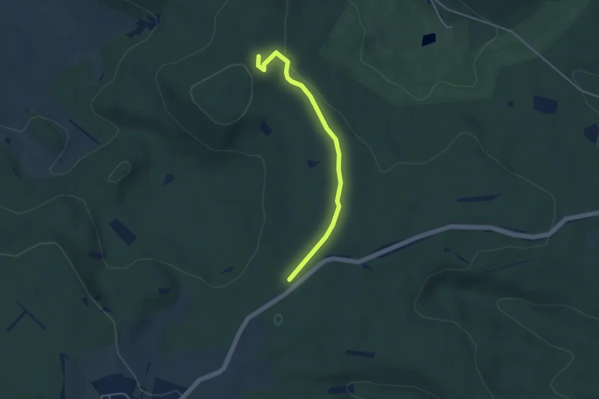
Easy · Trail
Mariensäule am Größenberg - St. Veiter Blindenkreuz
3.2 km · ↑ 81 m · 56 min
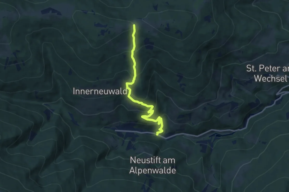
Medium · Cabin
Mariensee - Kampsteiner Schwaig
8.6 km · ↑ 584 m · 3 h 18 min
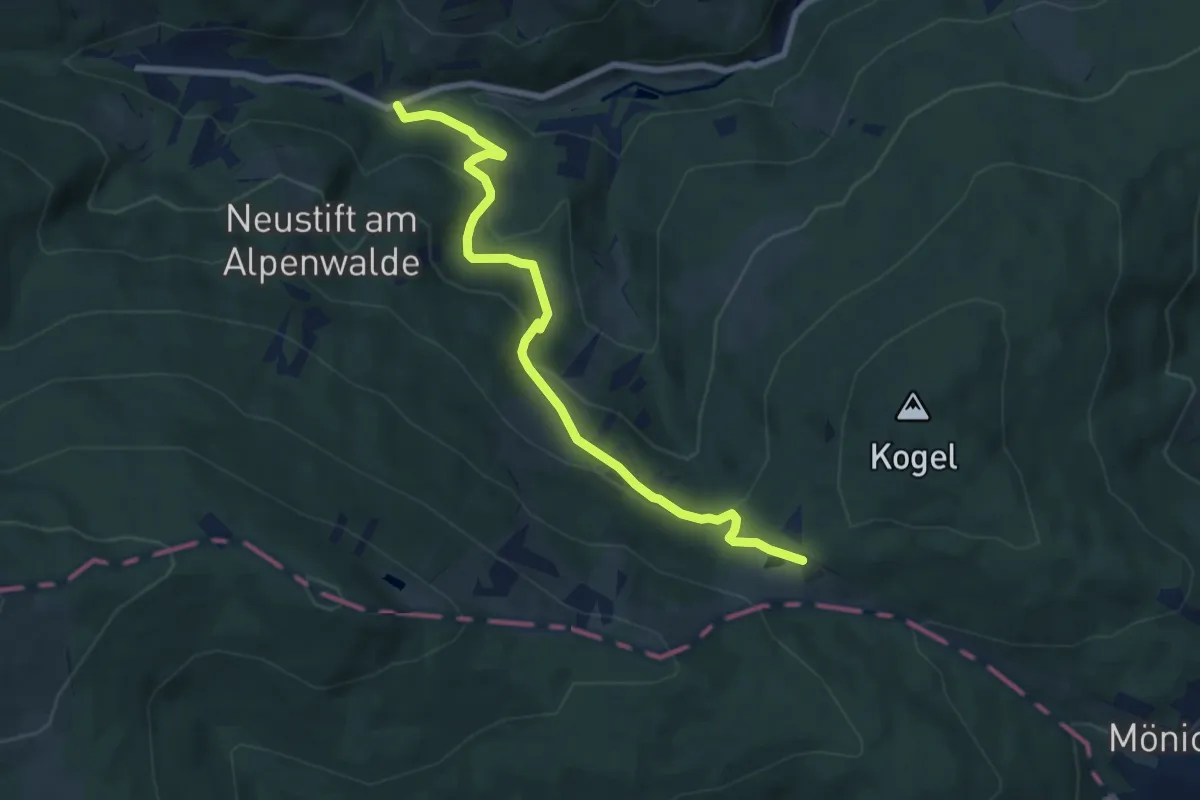
Medium · Trail
Mariensee - Mönichkirchener Schwaig
7.6 km · ↑ 386 m · 2 h 38 min
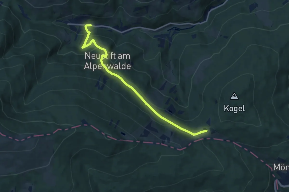
Medium · Trail
Mariensee - Mönichkirchener Schwaig
9.0 km · ↑ 360 m · 2 h 55 min
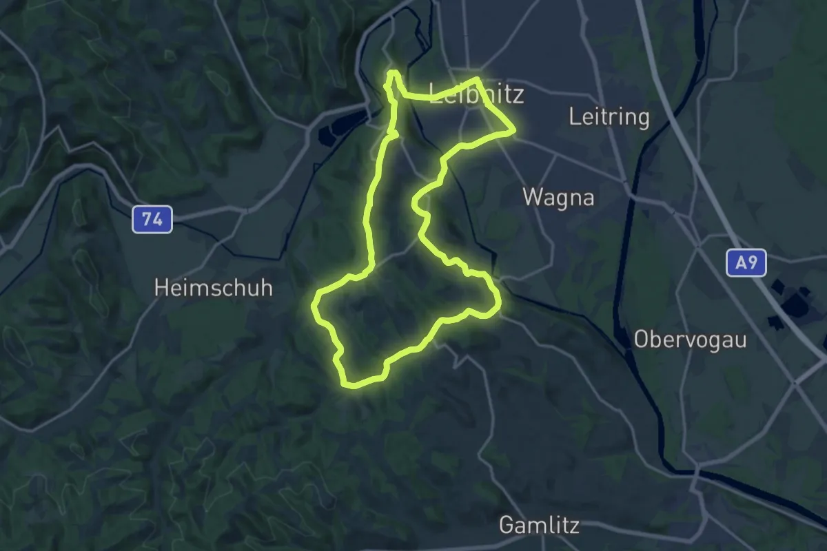
Medium · Summit
Marienweg
16.0 km · ↑ 332 m · 4 h 44 min
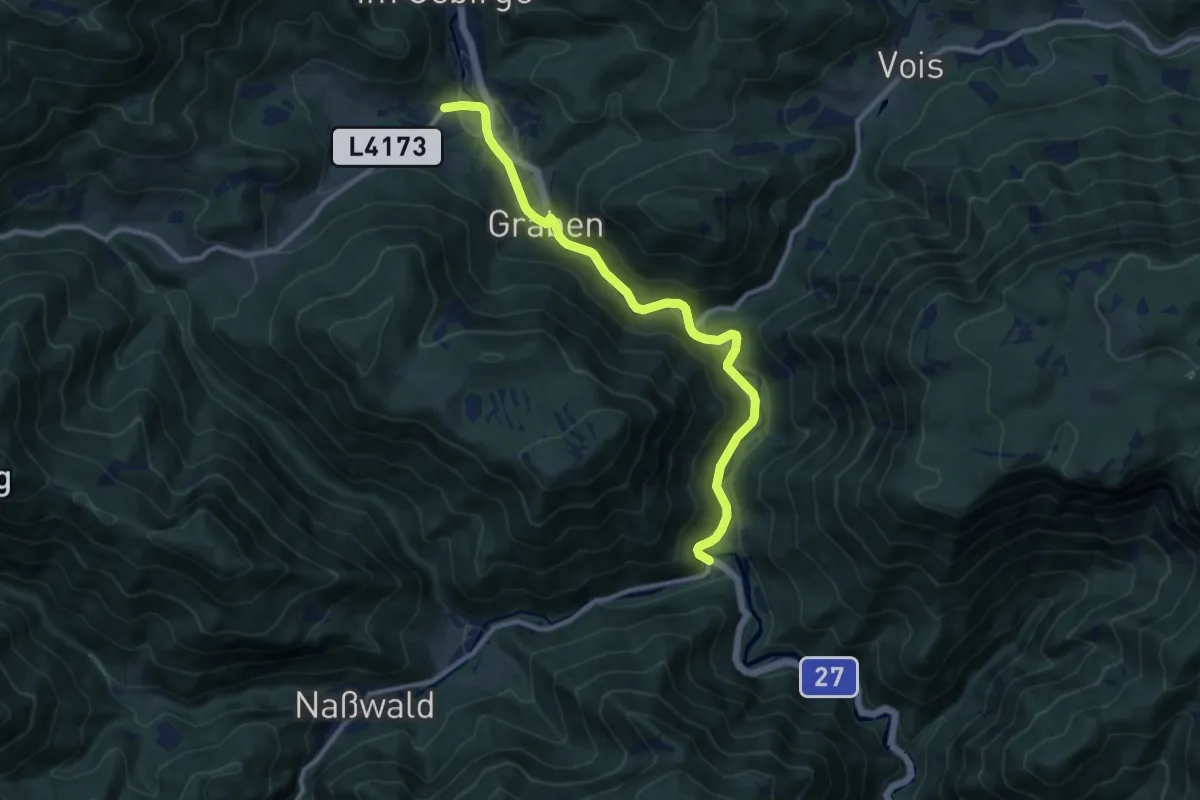
Easy · Pilgrim path
Marienweg
5.2 km · ↑ 54 m · 1 h 24 min
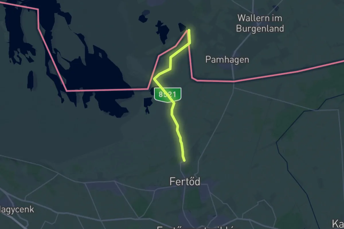
Medium · Pilgrim path
Marienweg
11.6 km · ↑ 8 m · 2 h 56 min
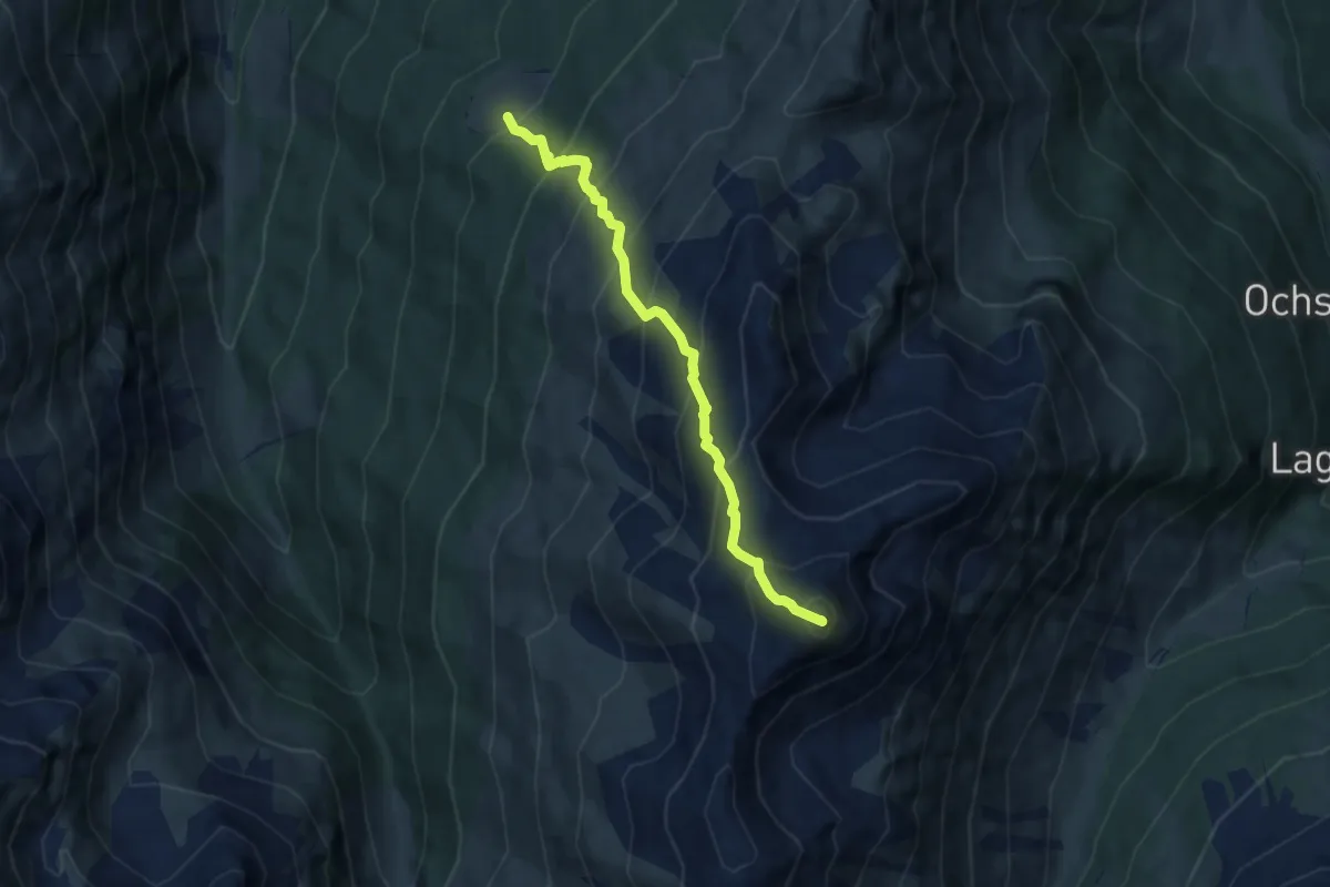
Demanding · Summit
Markisalm - Malgrübler
6.8 km · ↑ 857 m · 3 h 28 min
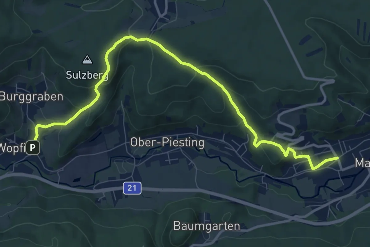
Medium · Trail
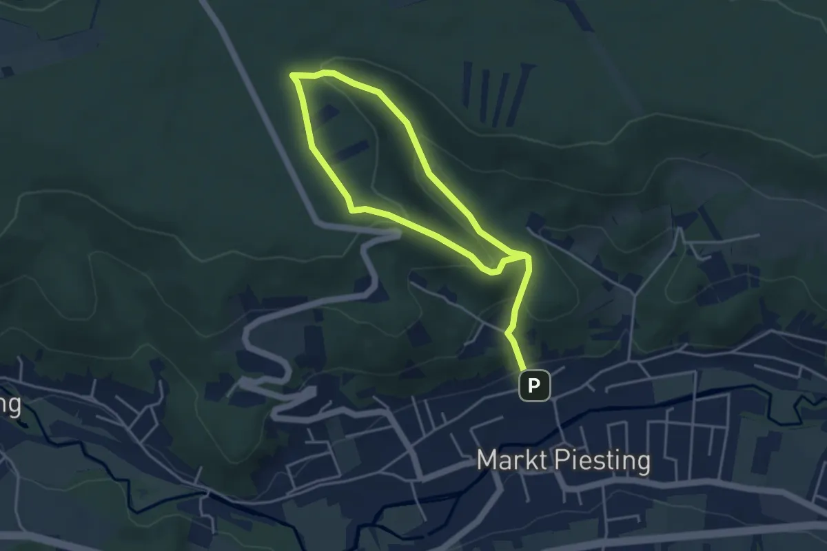
Markt Piesting - Alkersdorf - Mühltal - Oberpiesting
9.6 km · ↑ 403 m · 3 h 9 min
Easy · Trail
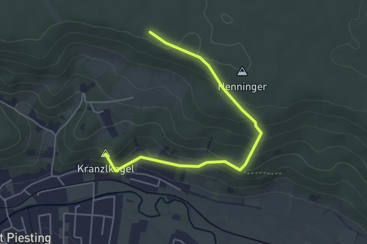
Markt Piesting - Aufs Hart
6.1 km · ↑ 257 m · 1 h 59 min
Easy · Summit
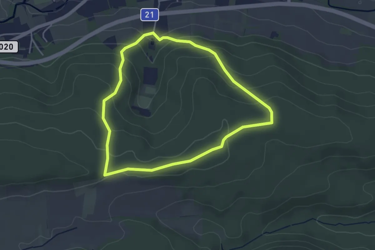
Markt Piesting (Parkplatz) - Auf dem Hart - Henninger - Hubertuskapelle
4.2 km · ↑ 216 m · 1 h 28 min
Easy · Trail
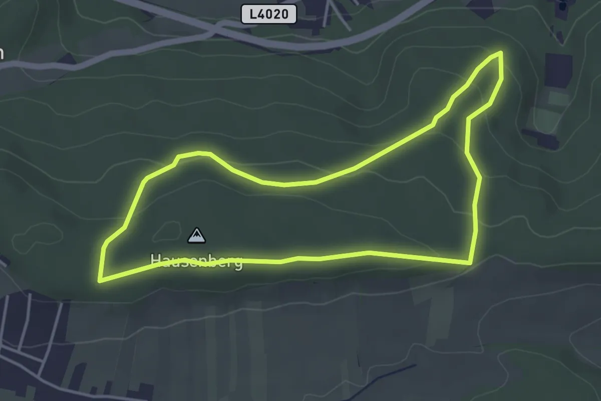
Markt Piesting: Route 1
3.3 km · ↑ 132 m · 1 h 7 min
Easy · Summit
Markt Piesting: Route 2
3.8 km · ↑ 116 m · 1 h 12 min
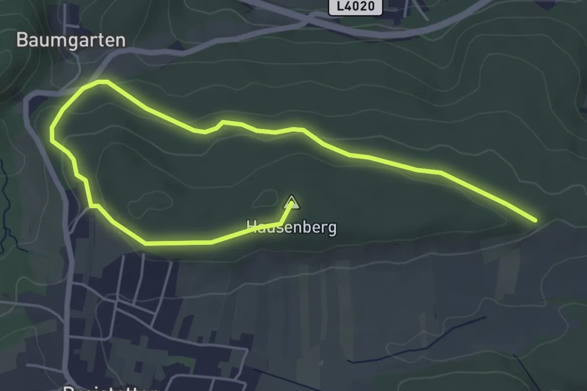
Easy · Summit
Markt Piesting: Route 3
6.5 km · ↑ 133 m · 1 h 50 min
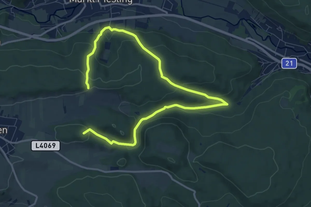
Medium · Summit
Markt Piesting Waldbad - Rotes Kreuz - Dreistetten - Marchgraben Rundwanderweg
12.1 km · ↑ 519 m · 3 h 59 min
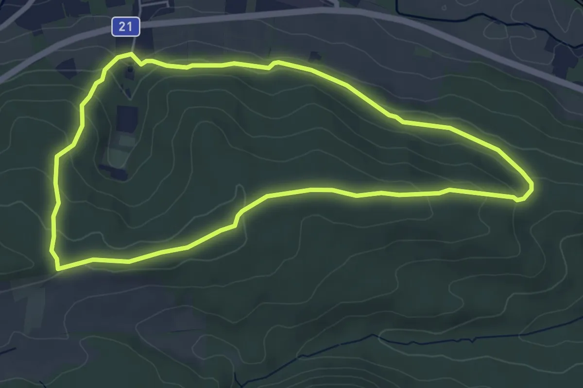
Easy · Trail
Markt Piesting Waldbad - Rotes Kreuz - Prangelnwald Rundwanderweg
5.2 km · ↑ 150 m · 1 h 37 min
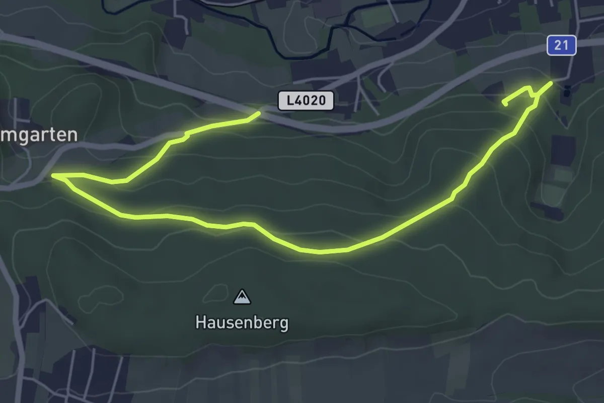
Easy · Trail
Markt Piesting Waldbad - Zitterwirt - Piesting B21
6.7 km · ↑ 242 m · 2 h 6 min
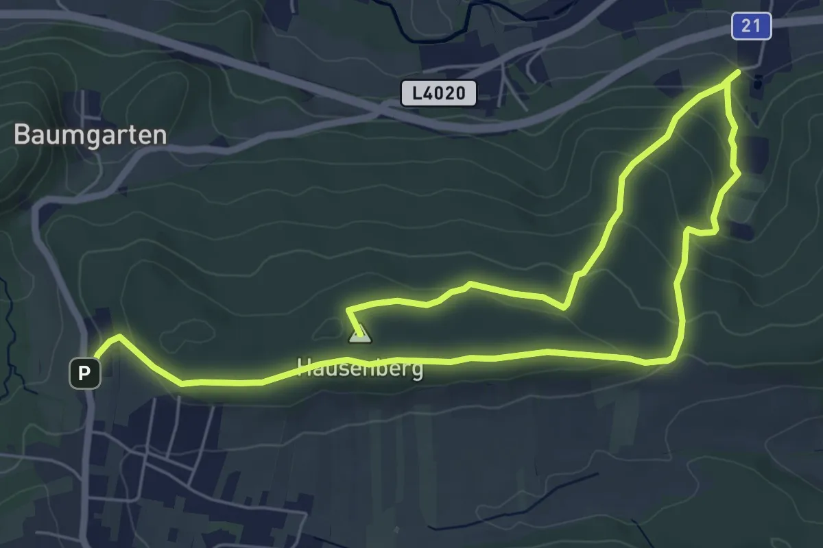
Medium · Summit
Markt Piesting Waldbad - Zitterwirt - Rotes Kreuz Rundwanderweg
9.4 km · ↑ 340 m · 2 h 58 min
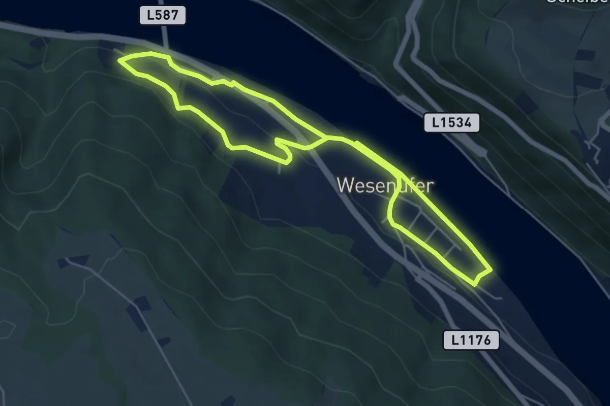
Easy · Trail
Marktrunde
4.3 km · ↑ 47 m · 1 h 10 min
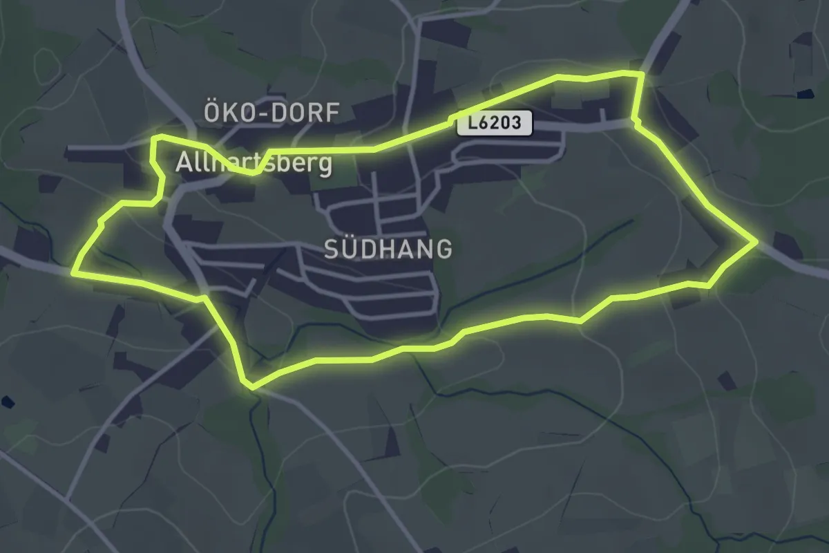
Easy · Trail
Marktrundweg
3.7 km · ↑ 90 m · 1 h 7 min
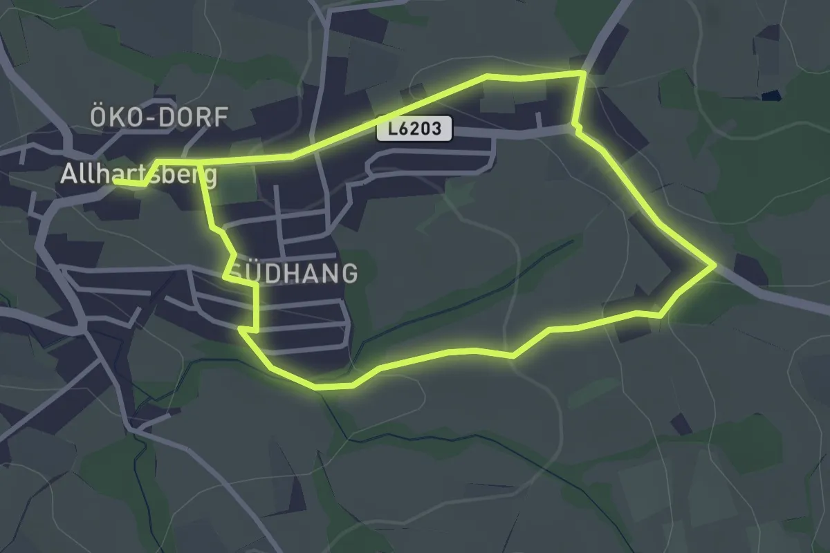
Easy · Trail
Marktrundweg
2.8 km · ↑ 65 m · 51 min
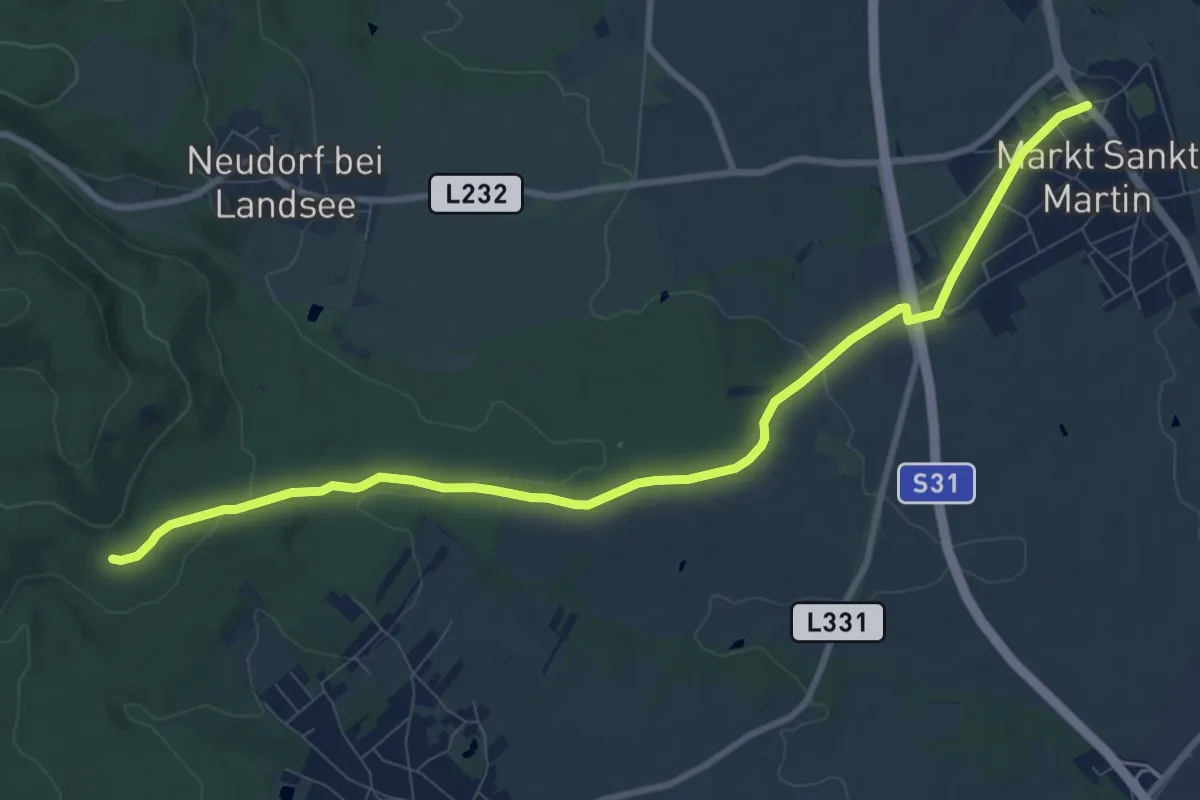
Medium · Trail
Markt St. Martin - Steinernes Stückel
10.3 km · ↑ 162 m · 2 h 47 min
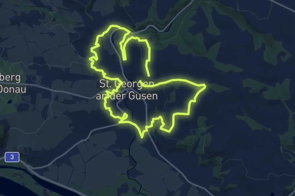
Demanding · Trail
Marktweg
21.6 km · ↑ 536 m · 6 h 15 min
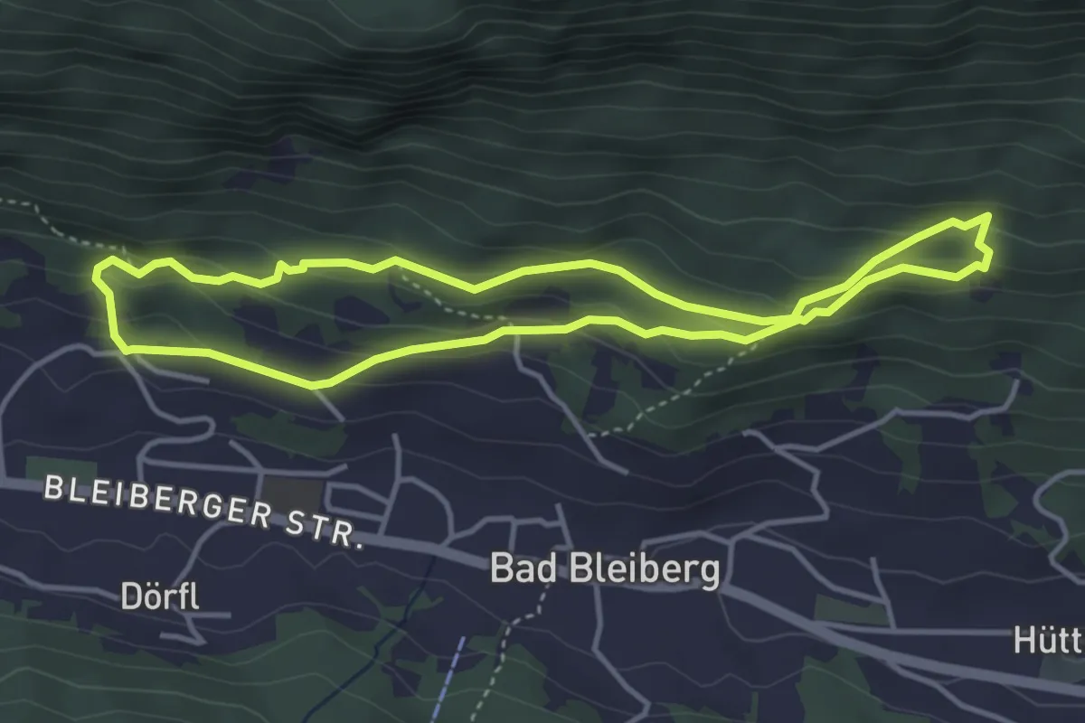
Easy · Trail
Markus Stollen Weg
3.7 km · ↑ 165 m · 1 h 17 min
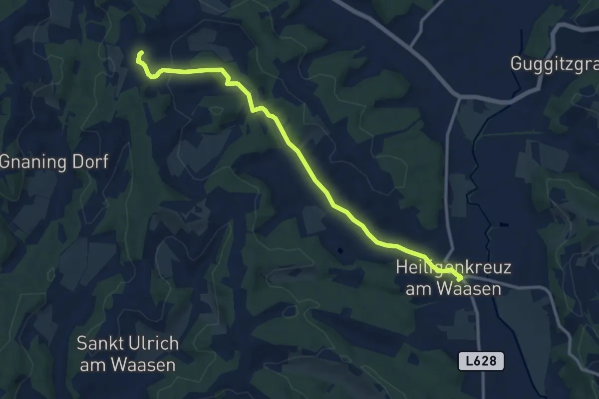
Medium · Trail
Markusweg
8.8 km · ↑ 106 m · 2 h 18 min
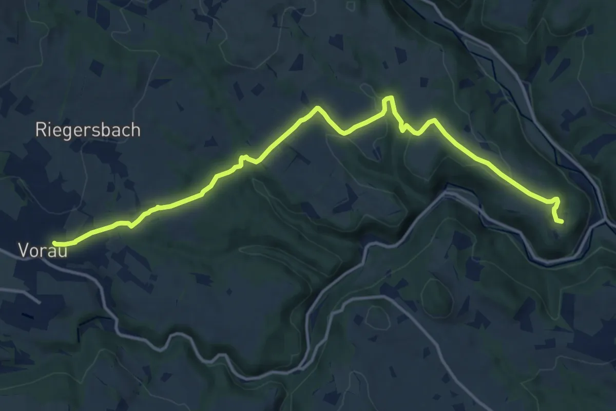
Medium · Trail
Markusweg
13.8 km · ↑ 422 m · 4 h 11 min
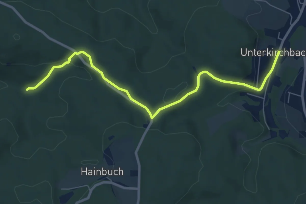
Easy · Trail
Marleitengraben - Unterkirchbach/Ort
6.0 km · ↑ 169 m · 1 h 48 min
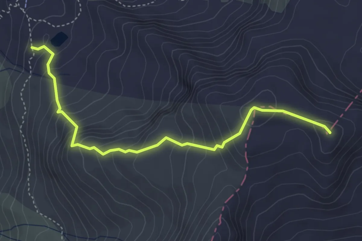
Medium · Summit
Maroiköpfe
4.2 km · ↑ 449 m · 1 h 58 min
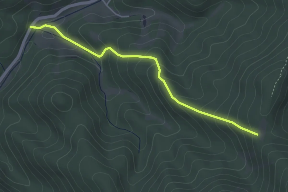
Easy · Trail
Martahof - Fotzeben
3.6 km · ↑ 287 m · 1 h 29 min
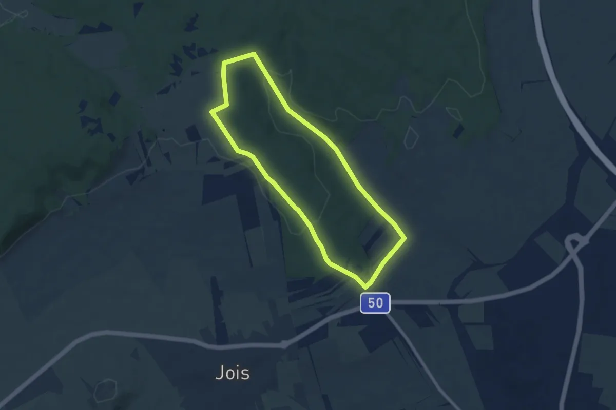
Easy · Trail
Martalwaldweg
5.8 km · ↑ 75 m · 1 h 37 min
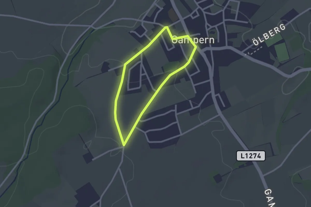
Easy · Trail
Marterlrunde
1.9 km · ↑ 27 m · 32 min
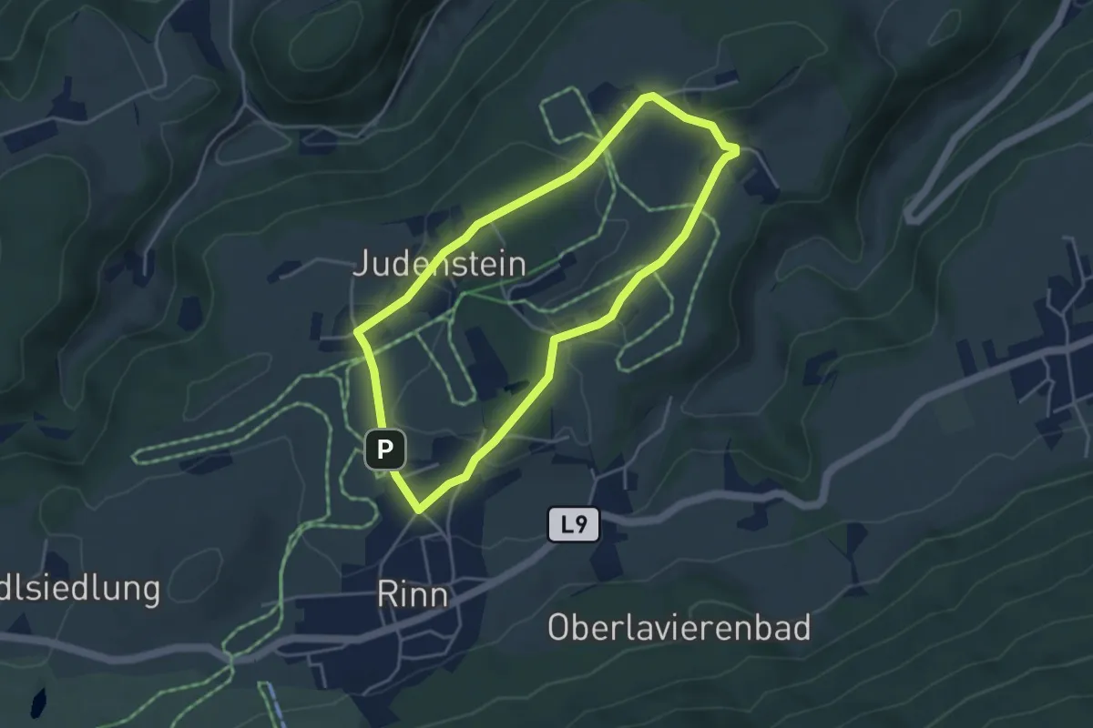
Easy · Trail
Marterl-Runde
3.7 km · ↑ 65 m · 1 h 4 min
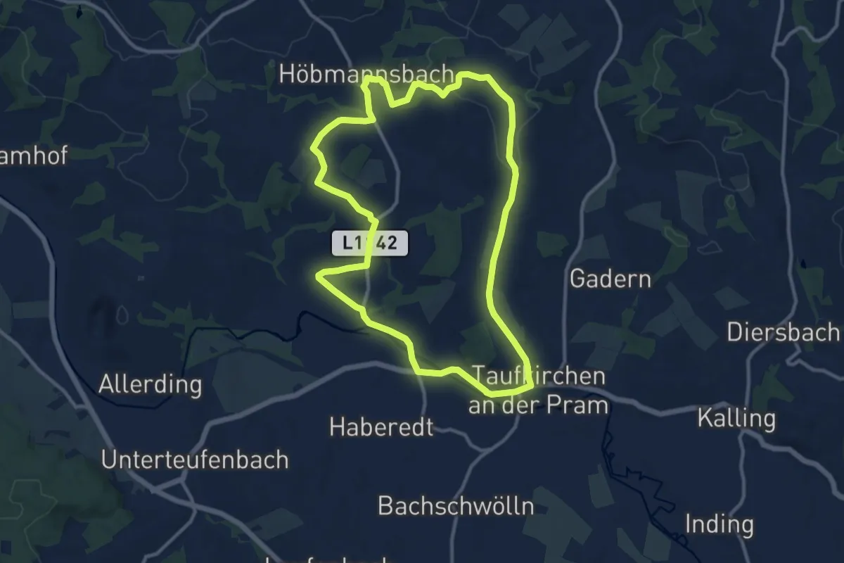
Medium · Trail
Marterl- und Kapellenweg
10.6 km · ↑ 145 m · 2 h 58 min
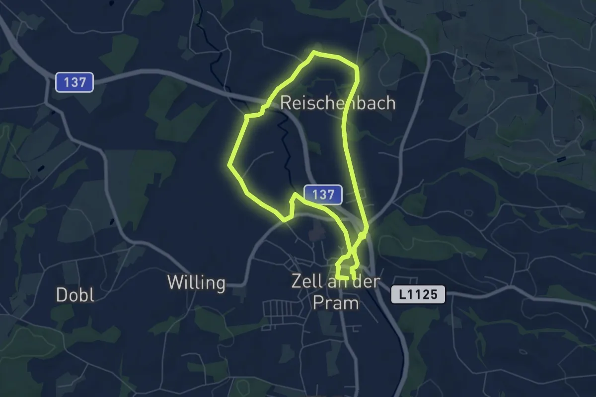
Easy · Trail
Marterlweg 1 Jebling
5.6 km · ↑ 47 m · 1 h 30 min
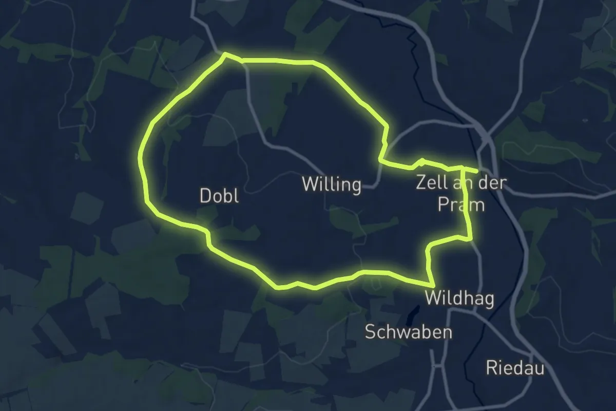
Medium · Trail
Marterlweg 2 Tischling
8.9 km · ↑ 85 m · 2 h 25 min
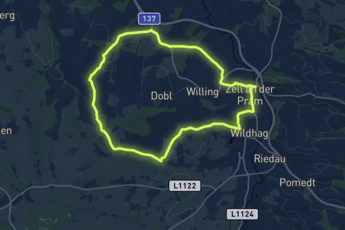
Medium · Trail
Marterlweg 3 Blümling
12.6 km · ↑ 139 m · 3 h 27 min
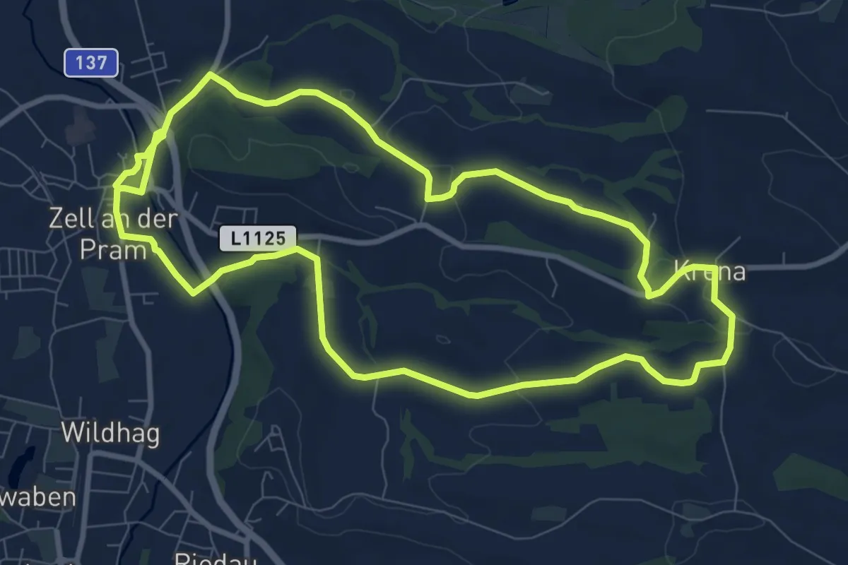
Medium · Trail
Marterlweg 4 Krena
17.5 km · ↑ 221 m · 4 h 37 min