Trails in Austria
9,779 hiking trails, each with its route, climb, walking time and grade.
All trails, page 69 of 204
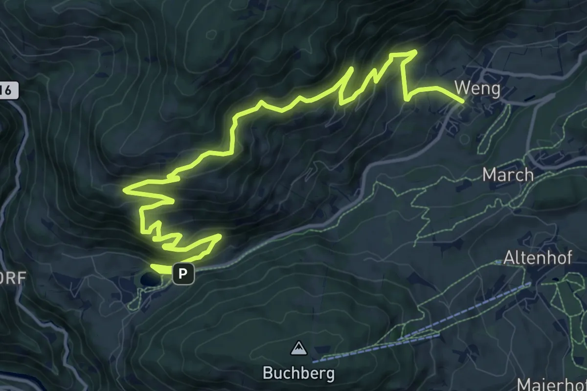
Demanding · Trail
Meiselsteinalm
15.9 km · ↑ 879 m · 5 h 40 min
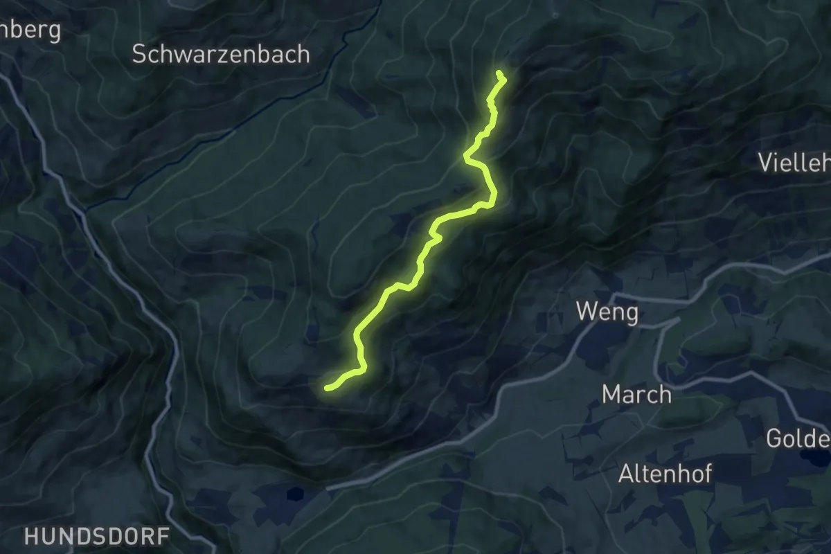
Medium · Summit
Meiselsteinalm-Gamskögerl
8.2 km · ↑ 522 m · 3 h 4 min
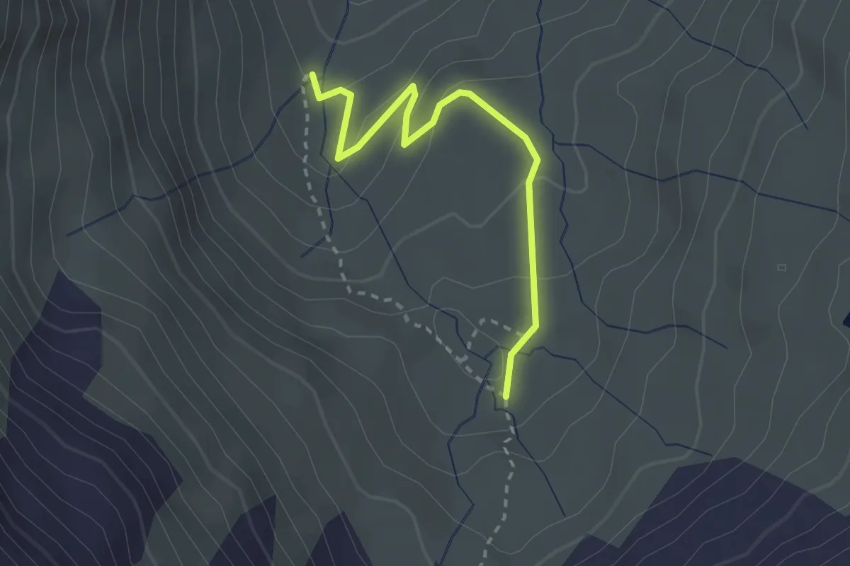
Medium · Trail
Melkboden
2.5 km · ↑ 112 m · 50 min
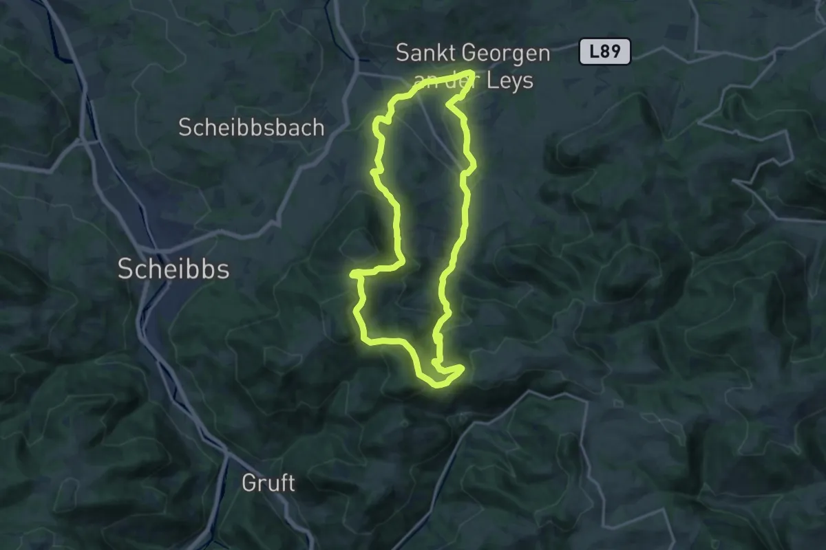
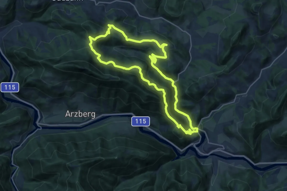
Medium · Trail
Melkursprung (St. Georgen an der Leys)
13.7 km · ↑ 516 m · 4 h 32 min
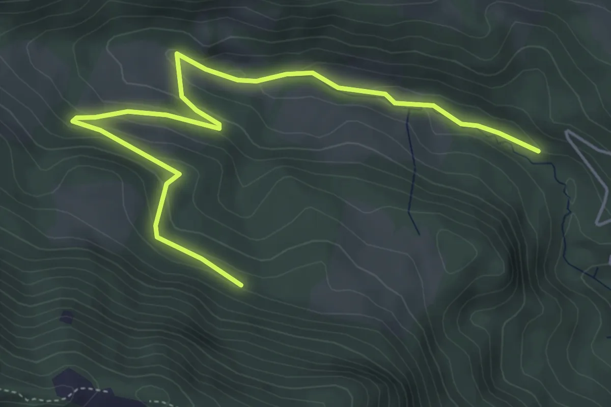
Medium · Trail
Menweg
16.2 km · ↑ 529 m · 5 h 12 min
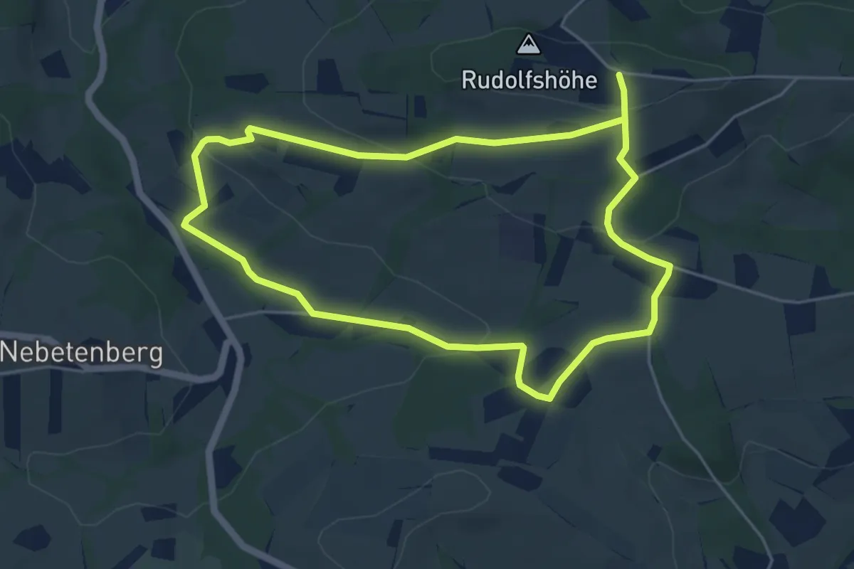
Easy · Trail
Menweg Abkürzung
2.9 km · ↑ 0 m · 50 min
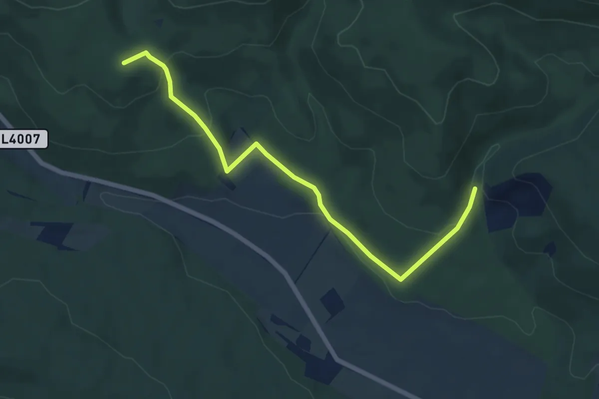
Easy · Trail
Meridianwanderweg
4.5 km · ↑ 145 m · 1 h 25 min
Easy · Summit
Merkenstein - Manhartstal
5.2 km · ↑ 200 m · 1 h 39 min
Medium · Trail
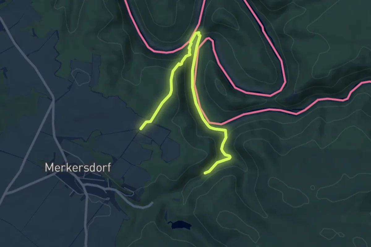
Merkersdorfer Rundwanderweg
3.5 km · ↑ 73 m · 1 h 5 min
Easy · Trail
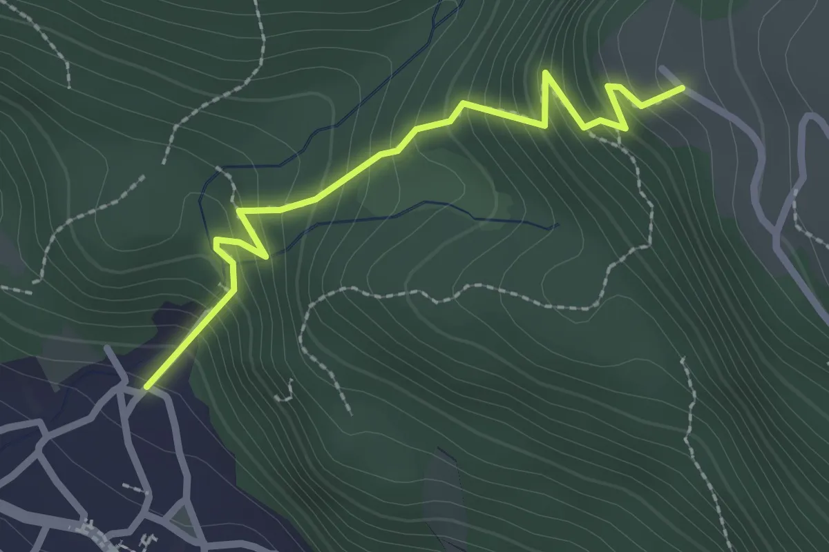
Messweg
2.3 km · ↑ 295 m · 1 h 11 min
Medium · Summit
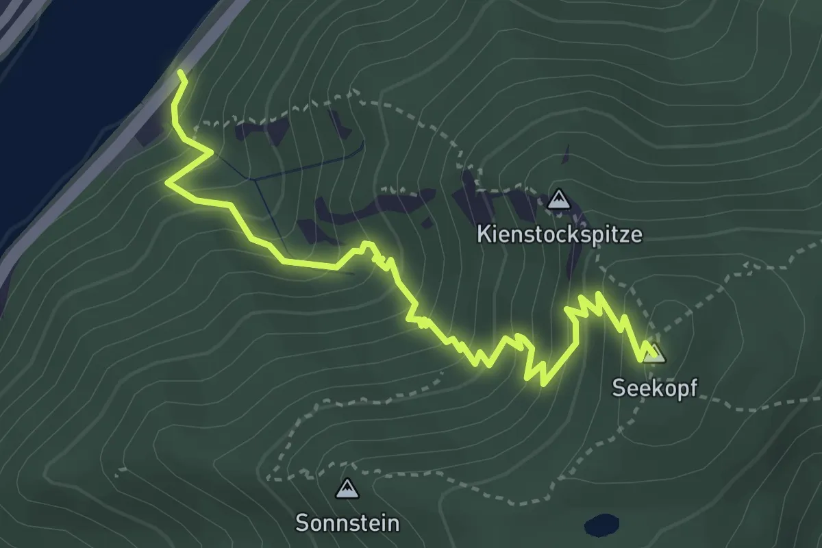
Meurersteig
4.1 km · ↑ 460 m · 1 h 58 min
Expert · Summit
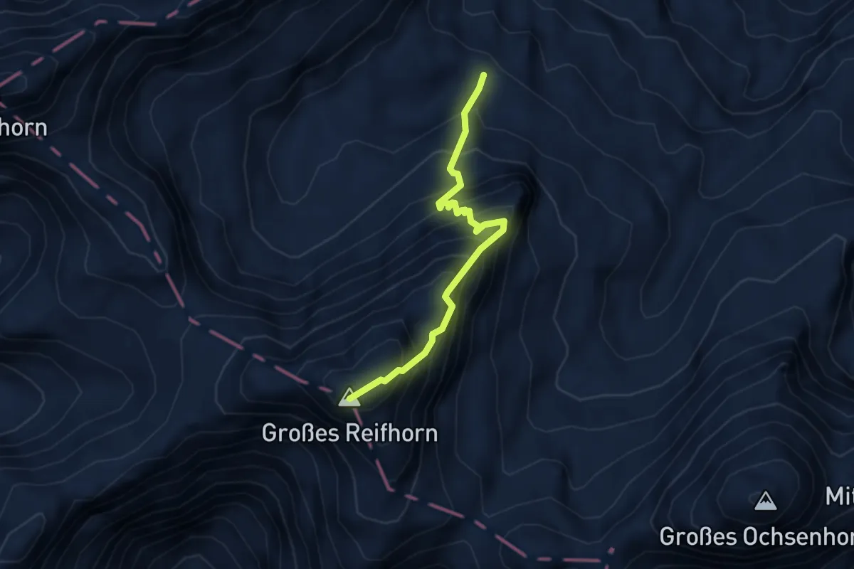
Michael-Steiner-Weg
3.3 km · ↑ 601 m · 2 h 4 min
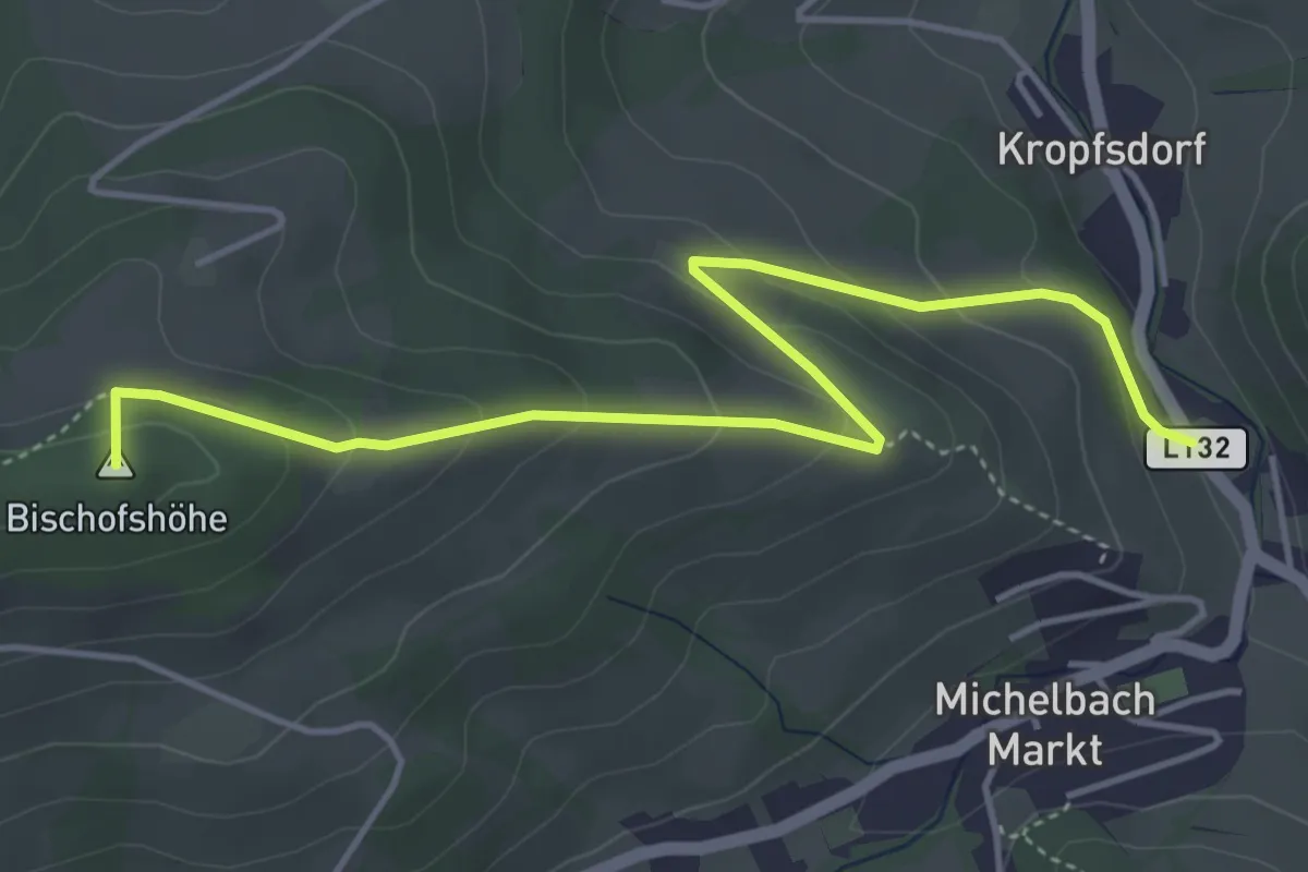
Easy · Summit
Michelbach - Bischofshöhe
5.0 km · ↑ 251 m · 1 h 43 min
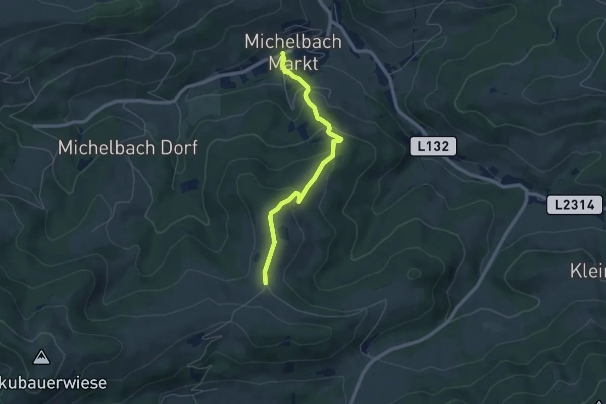
Easy · Trail
Michelbach - Brennhof
5.0 km · ↑ 261 m · 1 h 45 min
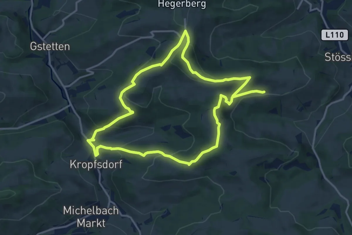
Medium · Trail
Michelbacher Elsbeerweg
9.3 km · ↑ 386 m · 3 h 10 min
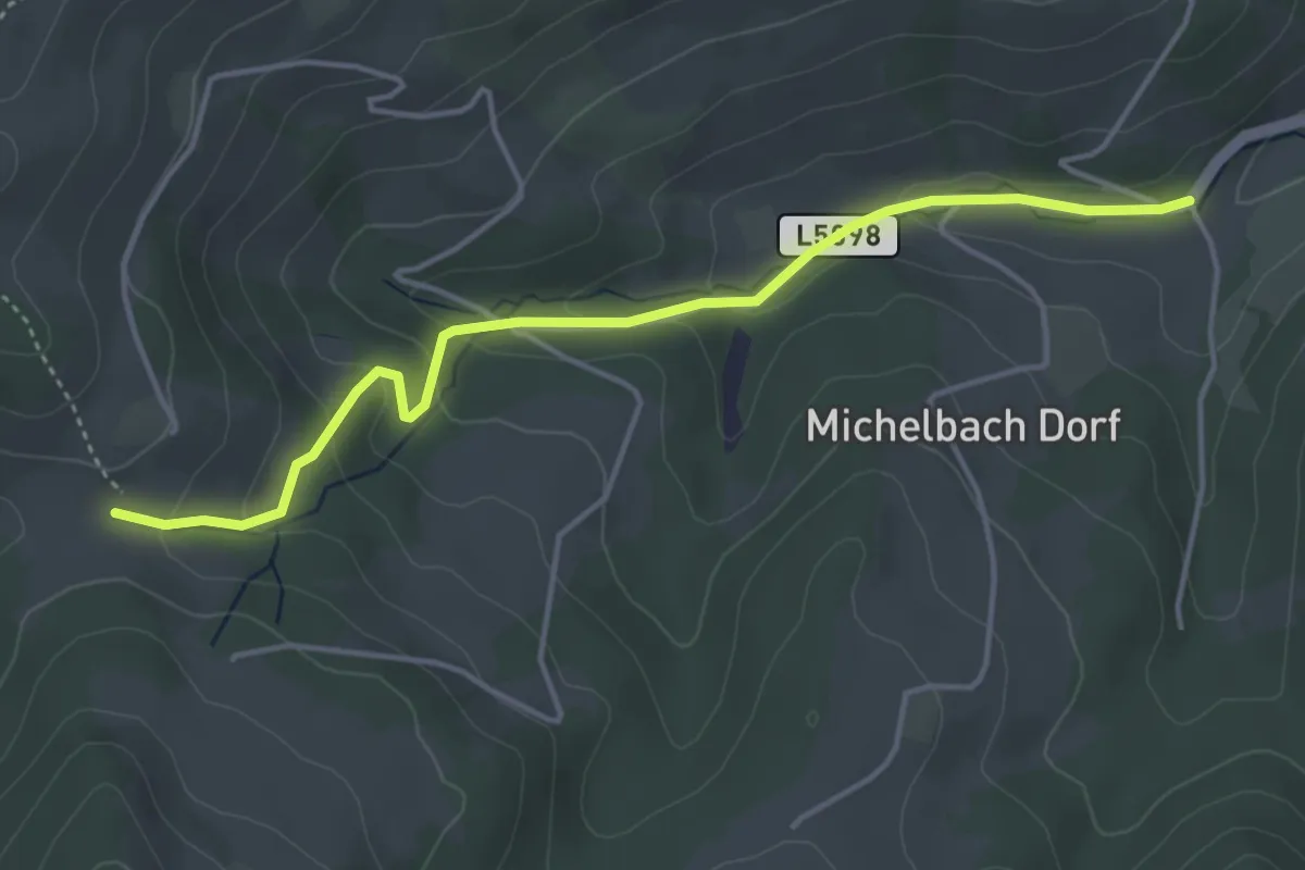
Easy · Trail
Michelbach - Gaishof
4.3 km · ↑ 184 m · 1 h 24 min
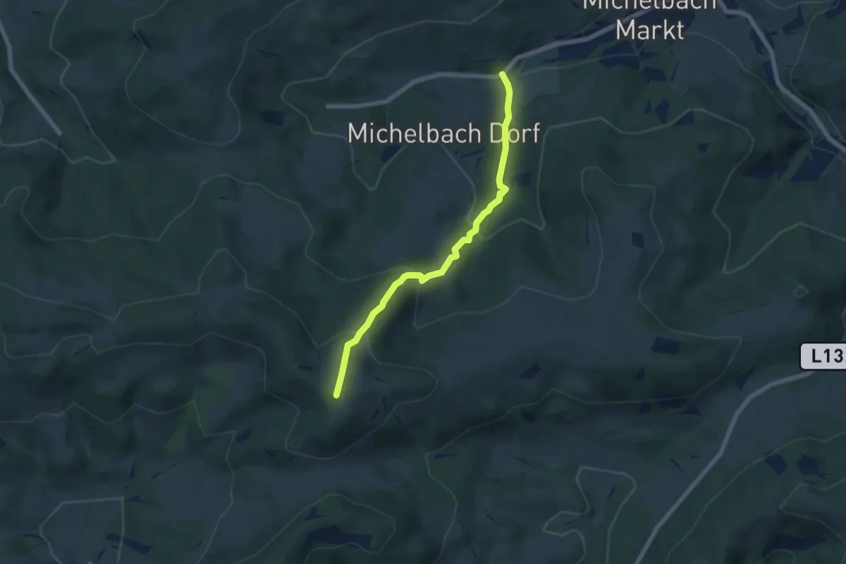
Medium · Summit
Michelbach - Kukubauerhütte
5.4 km · ↑ 373 m · 2 h 5 min
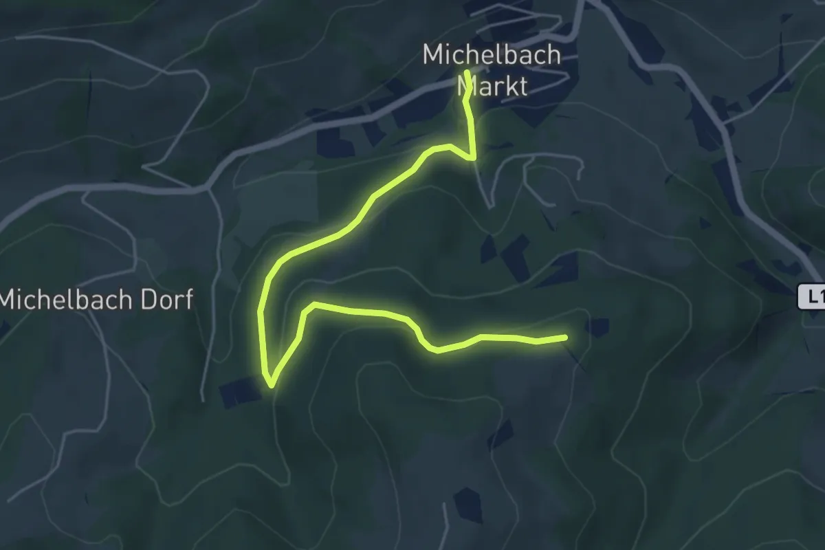
Easy · Trail
Michelbach - Tarnhof
5.4 km · ↑ 187 m · 1 h 41 min
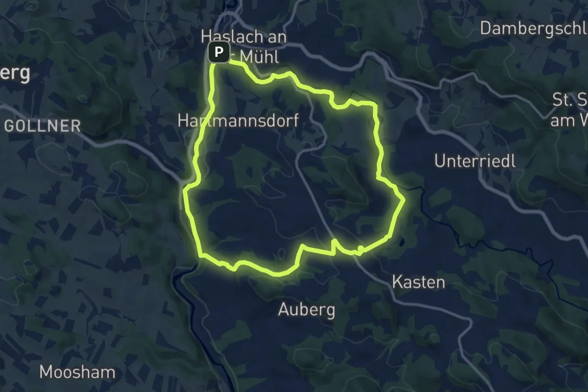
Medium · Trail
Michlweg
10.6 km · ↑ 162 m · 3 h
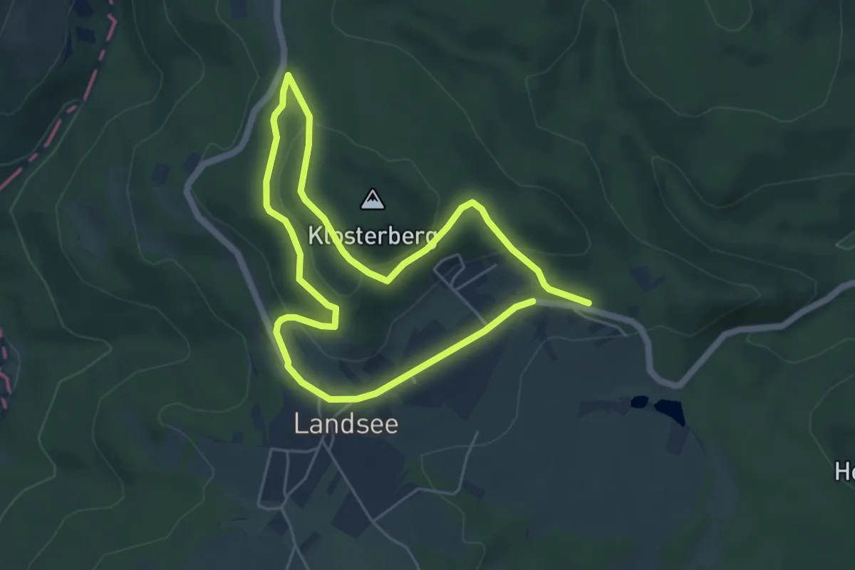
Medium · Trail
Mida Huber Wanderweg (Landsee)
8.9 km · ↑ 256 m · 2 h 39 min
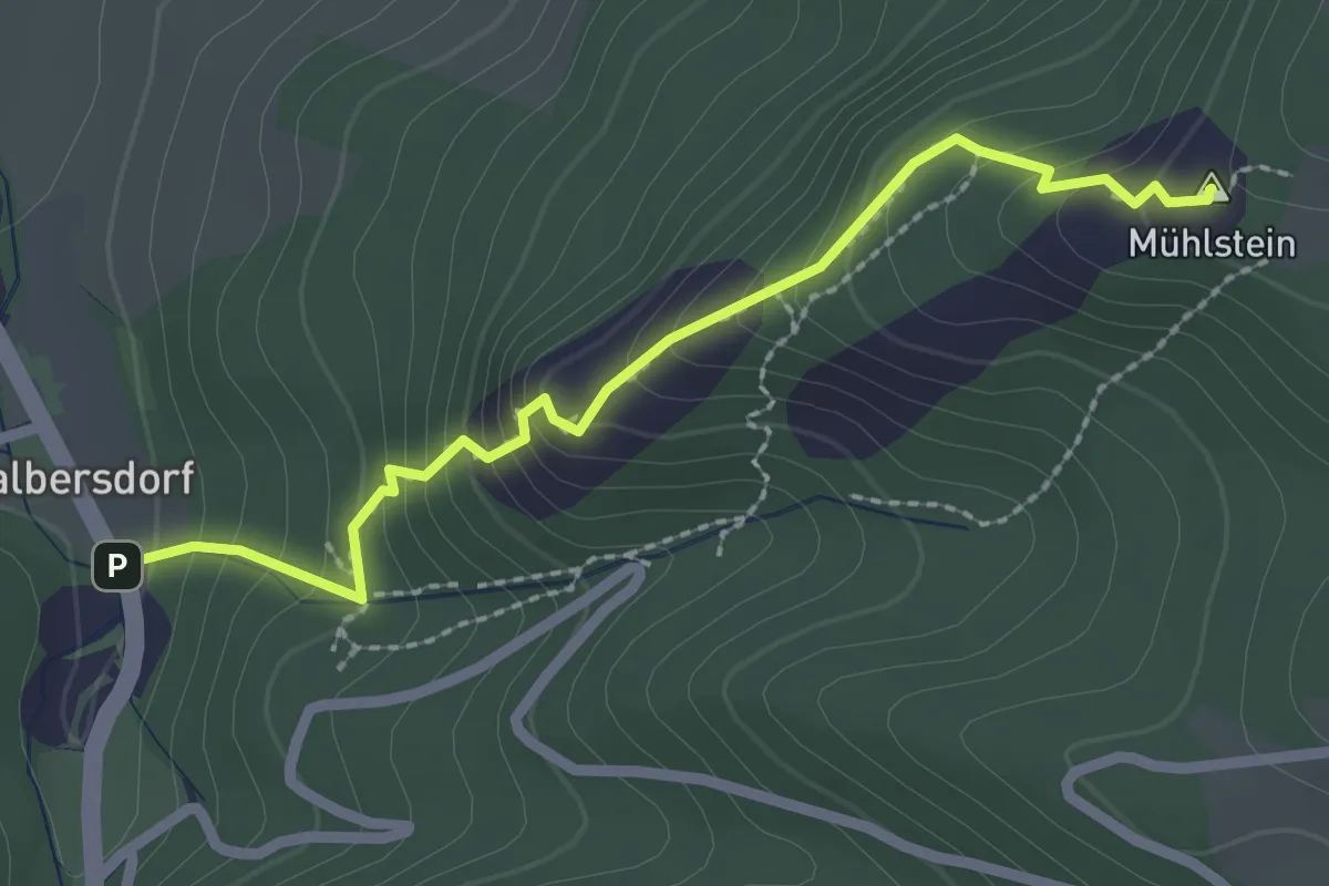
Easy · Summit
Miesenbach - Balbersteine - Mühlstein
2.4 km · ↑ 310 m · 1 h 14 min
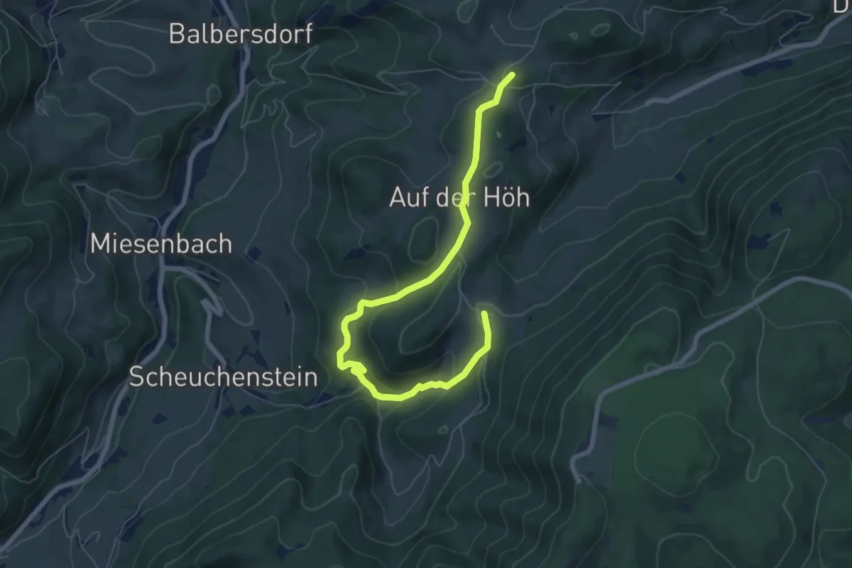
Medium · Summit
Miesenbach (Panoramaweg)
7.2 km · ↑ 360 m · 2 h 29 min
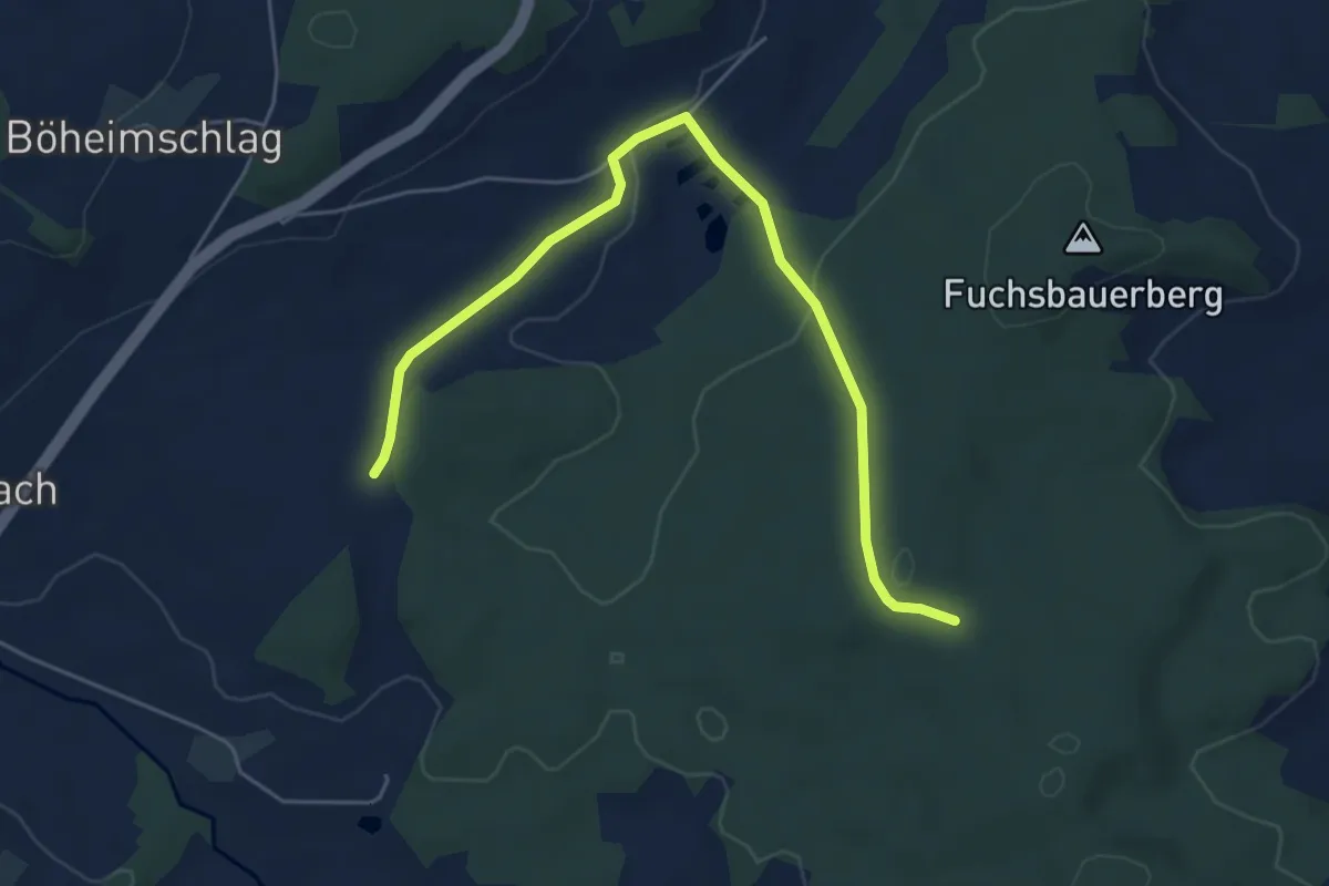
Easy · Trail
Miesenwald-Runde
5.7 km · ↑ 105 m · 1 h 34 min
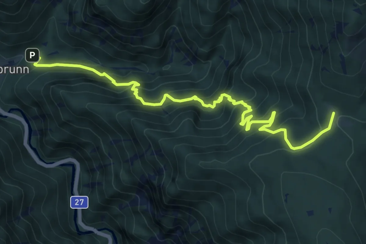
Medium · Cabin
Miesleitensteig
8.9 km · ↑ 772 m · 3 h 46 min
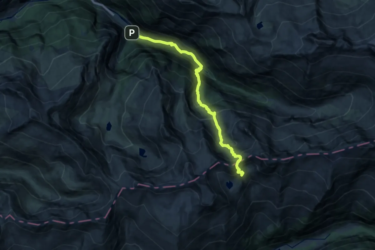
Demanding · Trail
Mindener Weg
15.6 km · ↑ 1406 m · 6 h 43 min
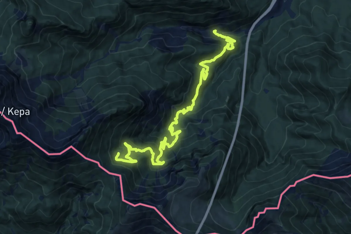
Demanding · Trail
Minzasattel
17.8 km · ↑ 966 m · 6 h 18 min
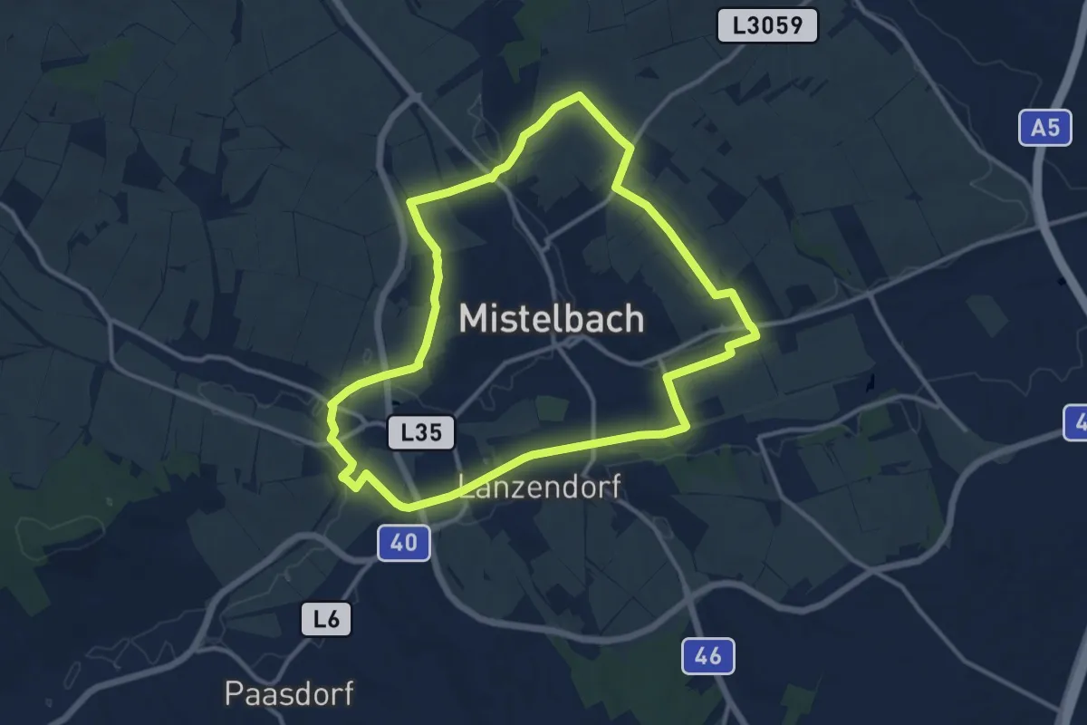
Medium · Trail
MistelbachAktivRing
11.4 km · ↑ 100 m · 3 h 4 min
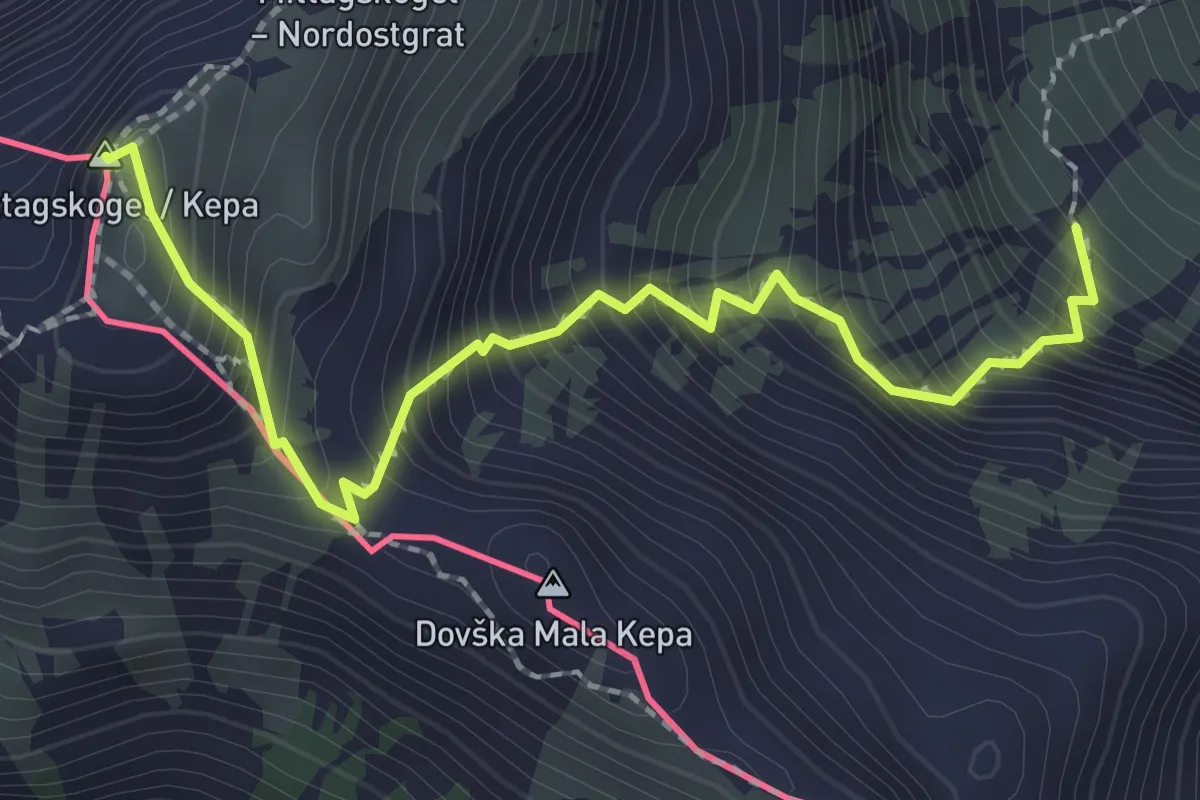
Demanding · Summit
Mittagskogel-Normalweg
2.4 km · ↑ 439 m · 1 h 31 min
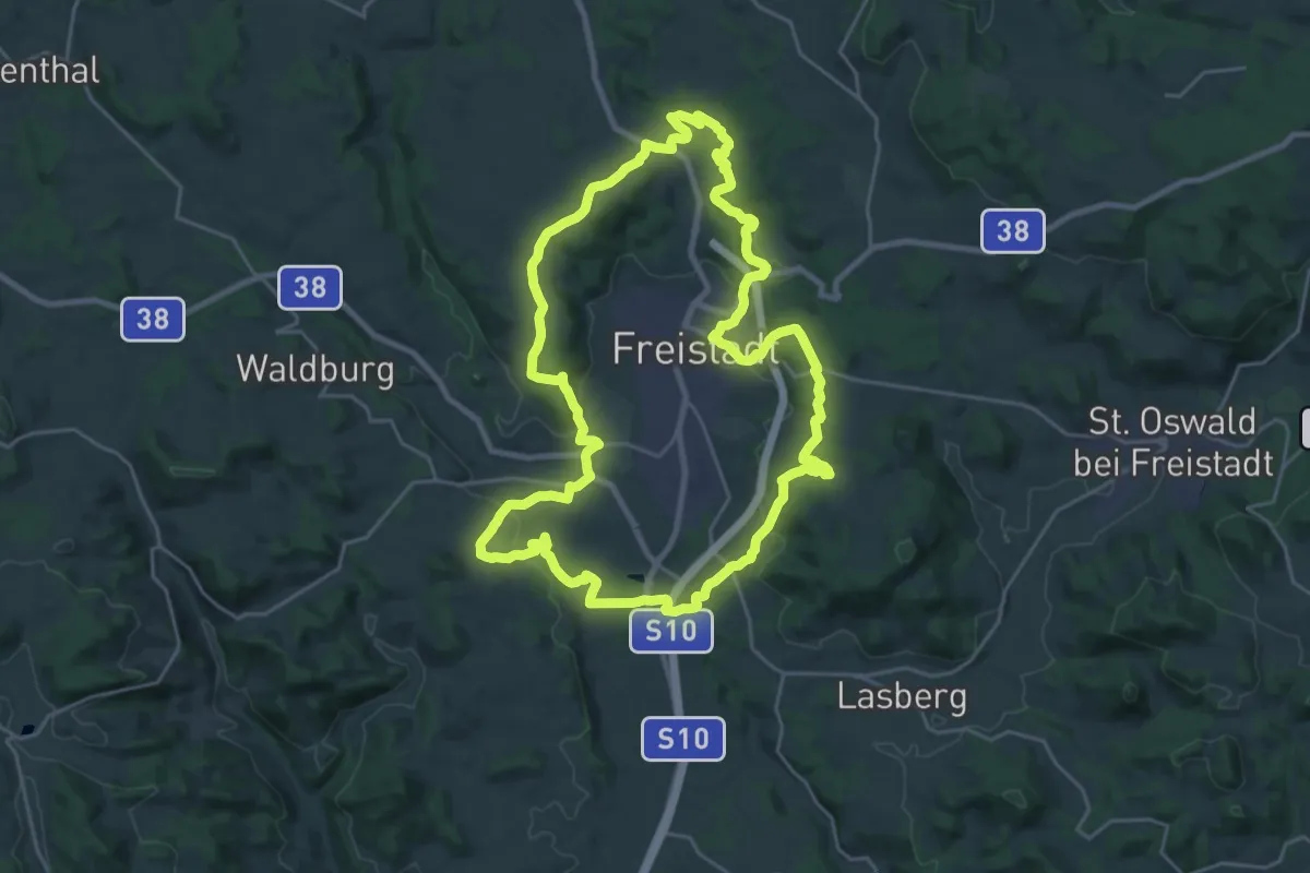
Demanding · Trail
Mittelalterlicher Erlebnispfad
24.4 km · ↑ 558 m · 7 h 18 min
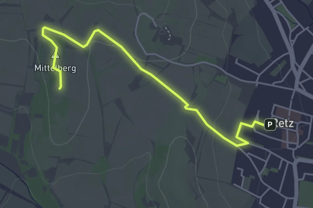
Easy · Summit
Mittelbergweg
4.4 km · ↑ 80 m · 1 h 13 min
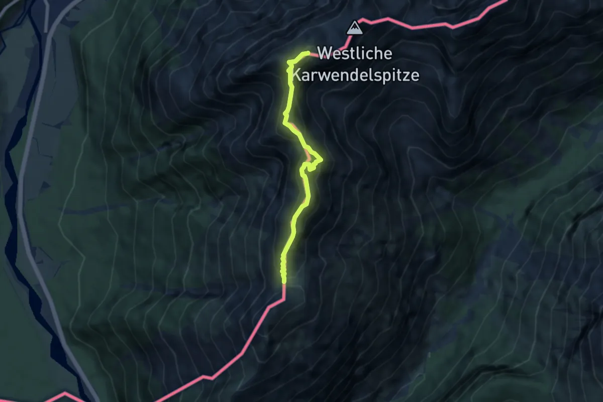
Expert · Summit
Mittenwalder Höhenweg
5.6 km · ↑ 777 m · 3 h 1 min
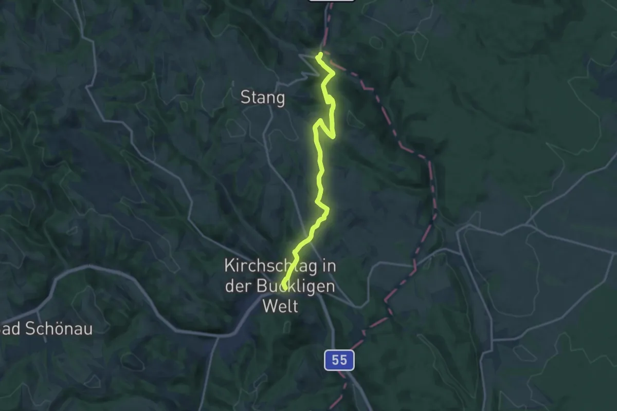
Medium · Trail
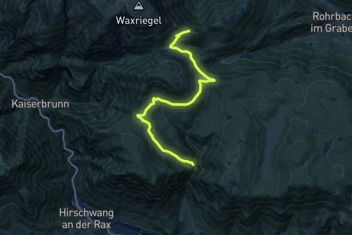
Mitterbacherweg (Kirchschlag - Blumau)
13.1 km · ↑ 450 m · 4 h 4 min
Medium · Trail
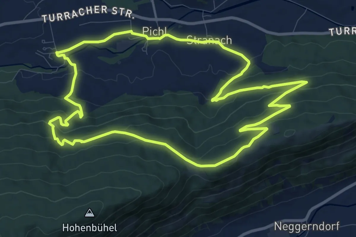
Mitterberggraben - Knofeleben - Alpleck - Baumgartner
16.0 km · ↑ 612 m · 5 h 6 min
Medium · Trail
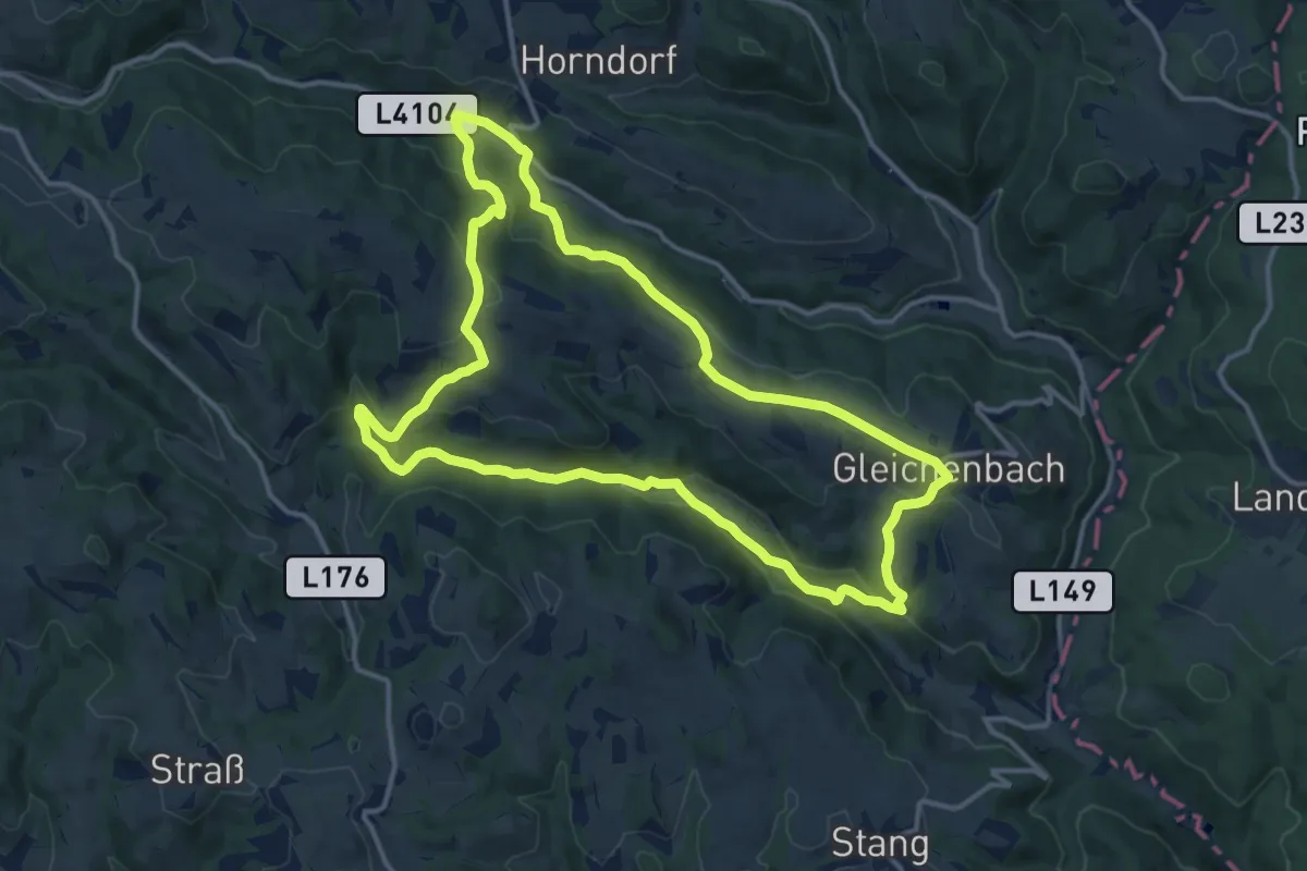
Mitterbergrundweg
11.6 km · ↑ 355 m · 3 h 40 min
Medium · Trail
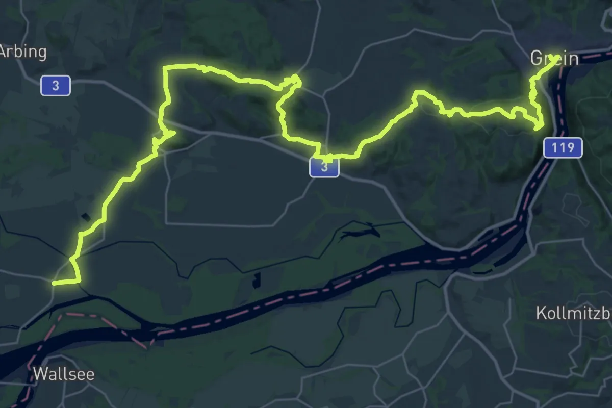
Mittereck - Gleichenbach - Filzmühle - Obereck - Karnermühle Rundwanderweg
13.6 km · ↑ 402 m · 4 h 17 min
Demanding · Trail
Mitterkirchen - Grein Donausteig Etappe
22.0 km · ↑ 499 m · 6 h 35 min
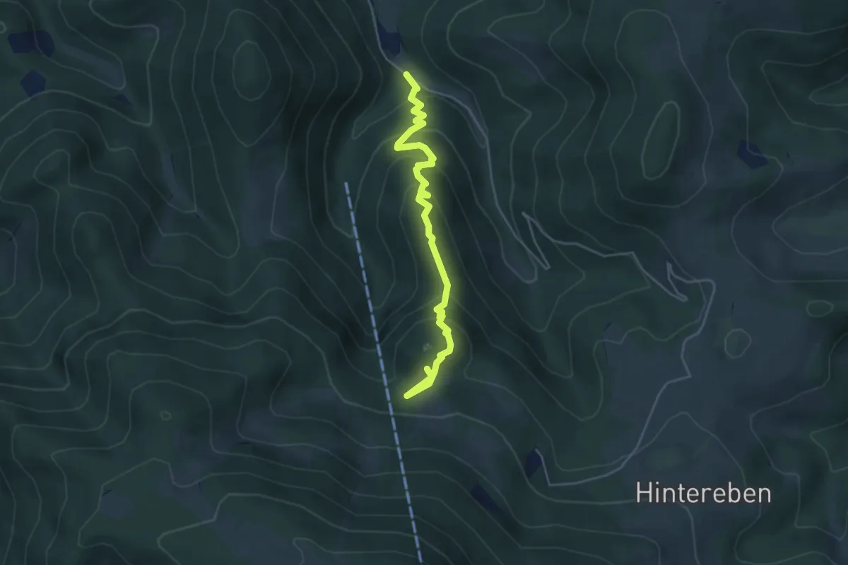
Medium · Trail
Mitterriegelsteig
4.5 km · ↑ 336 m · 1 h 47 min
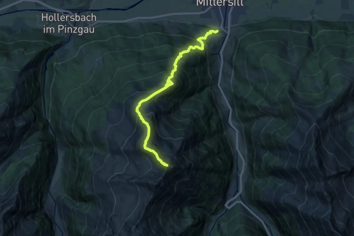
Demanding · Summit
Mittersill - Auf der Platte - Pihapper Spitze
15.4 km · ↑ 1969 m · 7 h 55 min
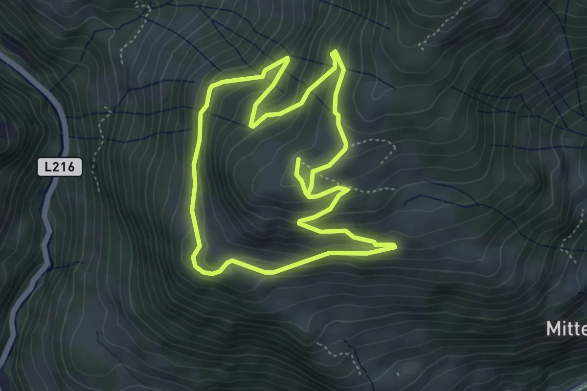
Easy · Trail
Mittersteinrundweg
4.3 km · ↑ 198 m · 1 h 30 min
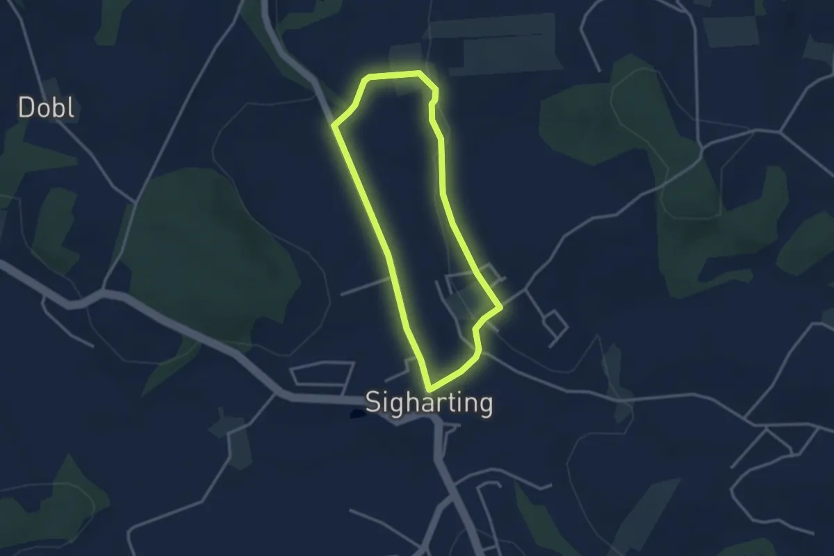
Easy · Trail
Mitterwegrunde
2.5 km · ↑ 20 m · 41 min
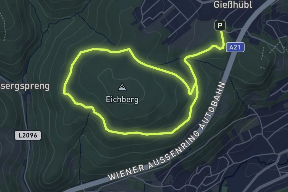
Medium · Trail
Mittlere Gießhübler Runde
8.1 km · ↑ 147 m · 2 h 13 min
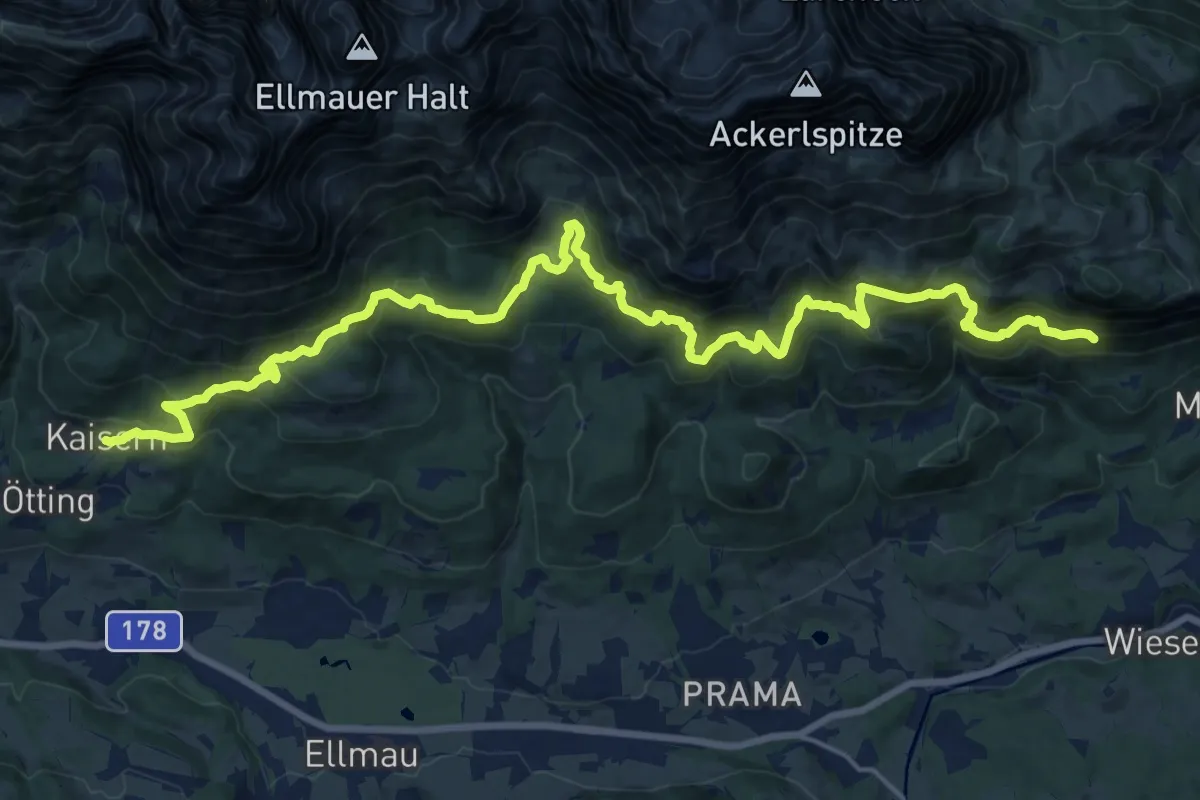
Medium · Trail
Mittlerer Höhenweg
11.7 km · ↑ 782 m · 4 h 35 min
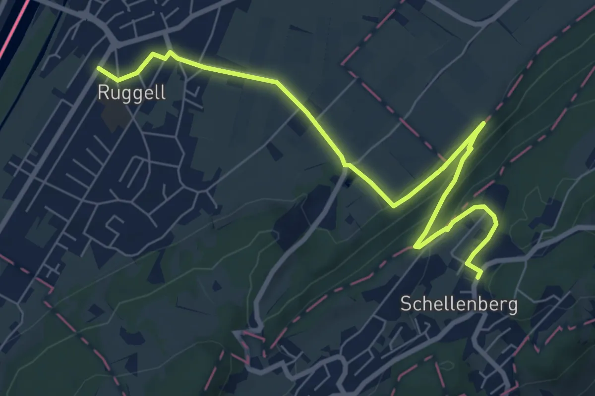
Easy · Trail
Mittlerer Schellenberg - Limsenegg - Ruggell
7.4 km · ↑ 226 m · 2 h 14 min
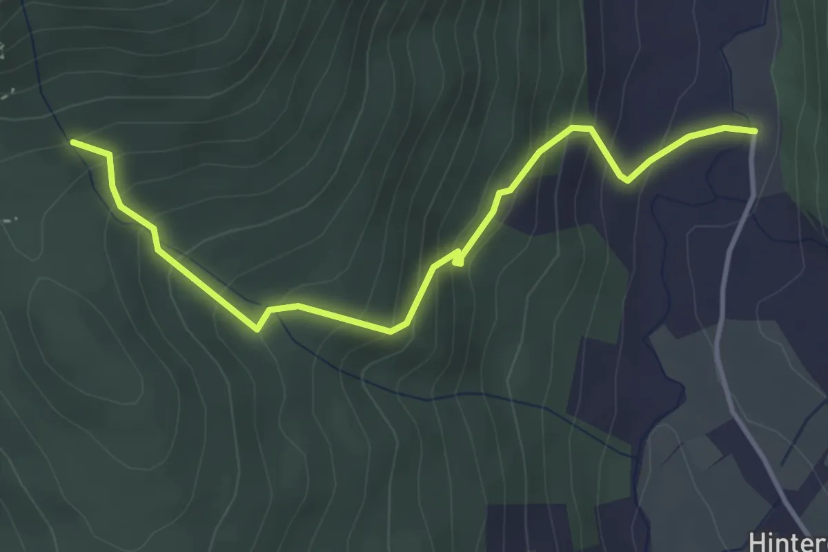
Medium · Trail
Moabergsteig
3.8 km · ↑ 334 m · 1 h 38 min
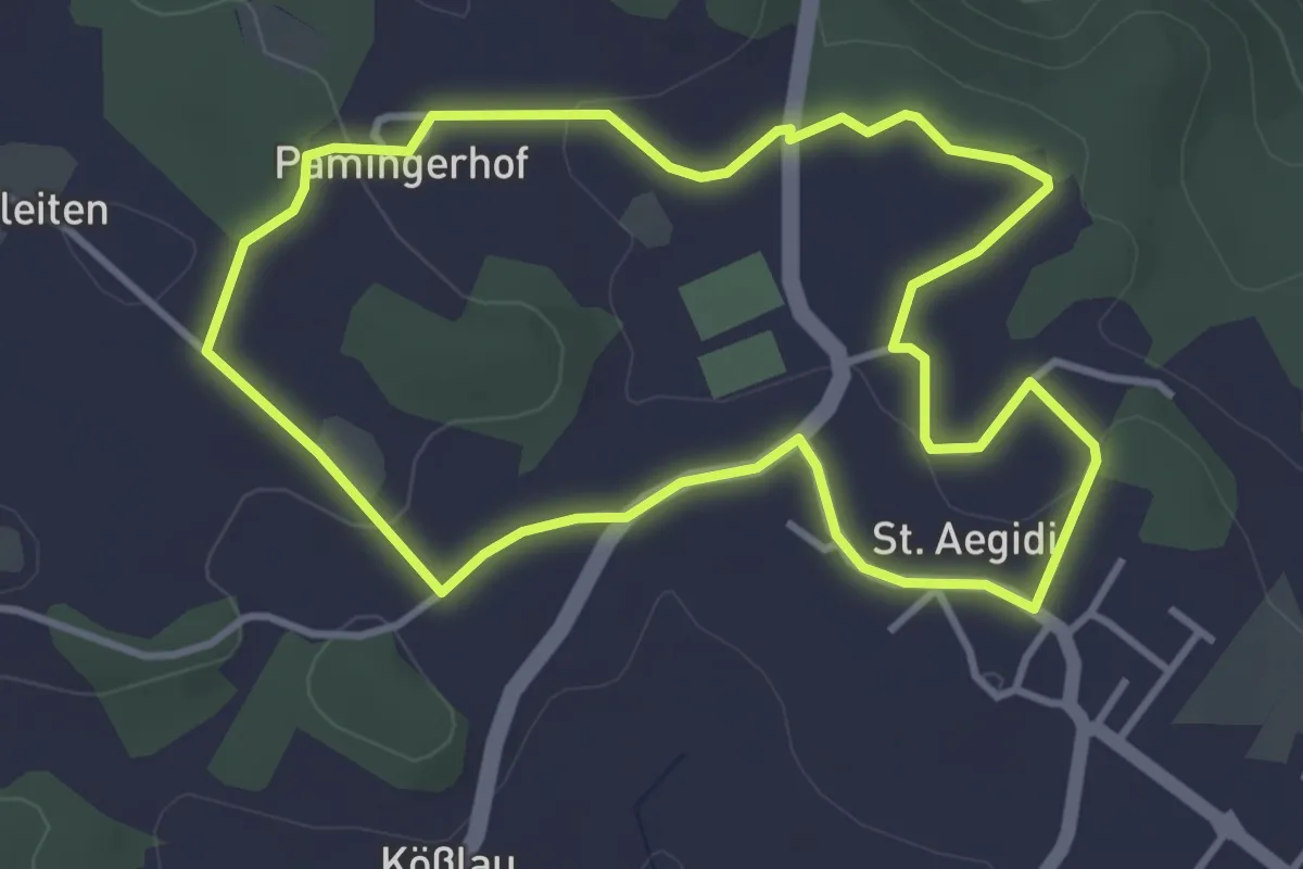
Easy · Trail
Moarfelsen-Wanderung
3.6 km · ↑ 67 m · 1 h 3 min
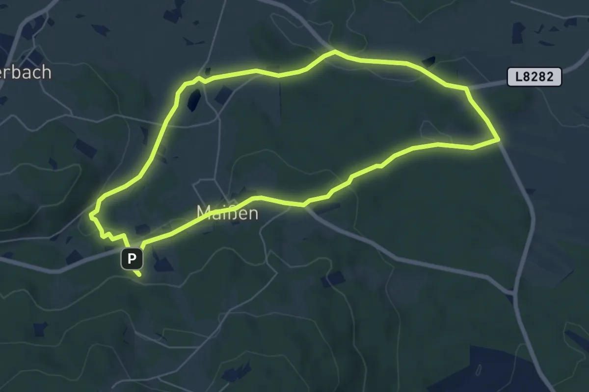
Easy · Trail
Moaßlawag
5.9 km · ↑ 102 m · 1 h 42 min
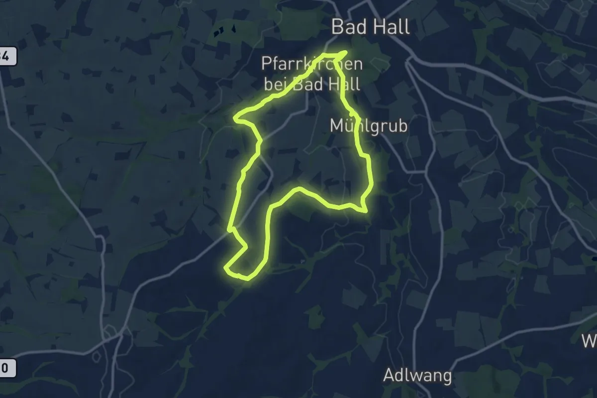
Medium · Trail
Möderndorfer Rundwanderweg
9.9 km · ↑ 170 m · 2 h 50 min
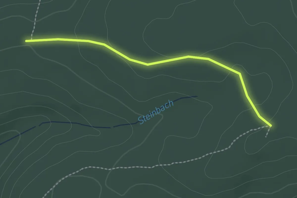
Easy · Trail
Modertörl - Rotes Kreuz
2.2 km · ↑ 44 m · 36 min