Trails in Belgium
3,383 hiking trails, each with its route, climb, walking time and grade.
All trails, page 40 of 71
Easy · Trail
Oudsberg Groene rechthoek
2.1 km · ↑ 8 m · 33 min
Easy · Trail
Oudsberg Groene rechthoek
2.9 km · ↑ 26 m · 47 min
Medium · Trail
Oudsberg Oranje bol
11.8 km · ↑ 81 m · 3 h 8 min
Medium · Trail
Oudsberg Rode driehoek
8.7 km · ↑ 26 m · 2 h 14 min
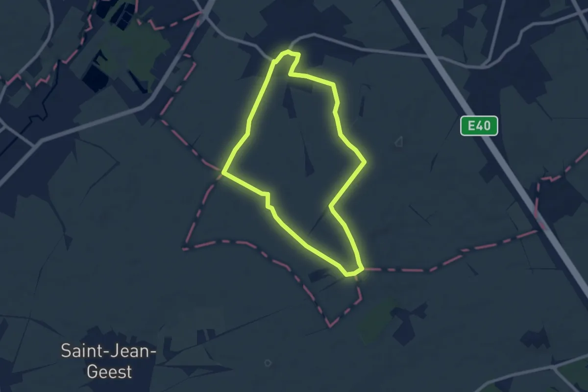
Easy · Trail
Outgaardenwandeling
5.8 km · ↑ 40 m · 1 h 33 min
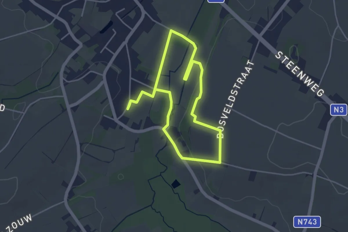
Easy · Trail
Overbroek-Egoven Groene rechthoek
3.2 km · ↑ 35 m · 53 min
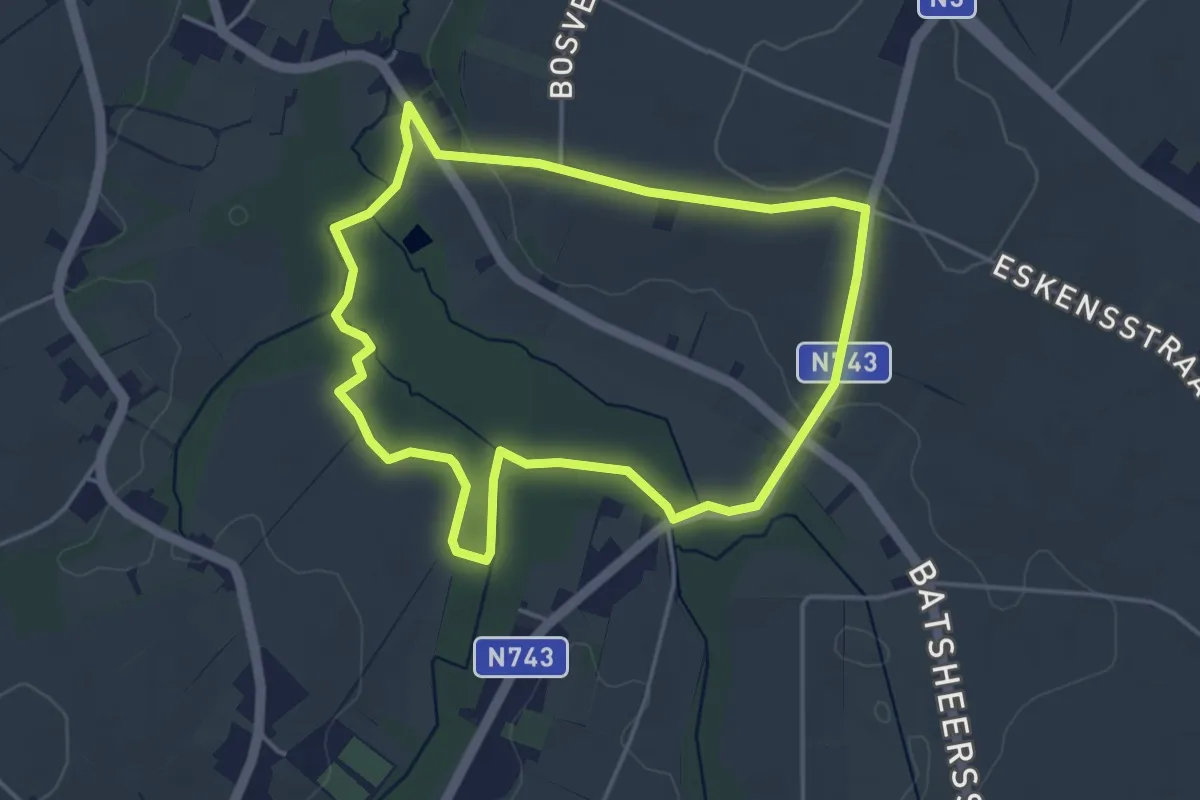
Easy · Trail
Overbroek-Egoven Oranje bol
3.7 km · ↑ 30 m · 1 h
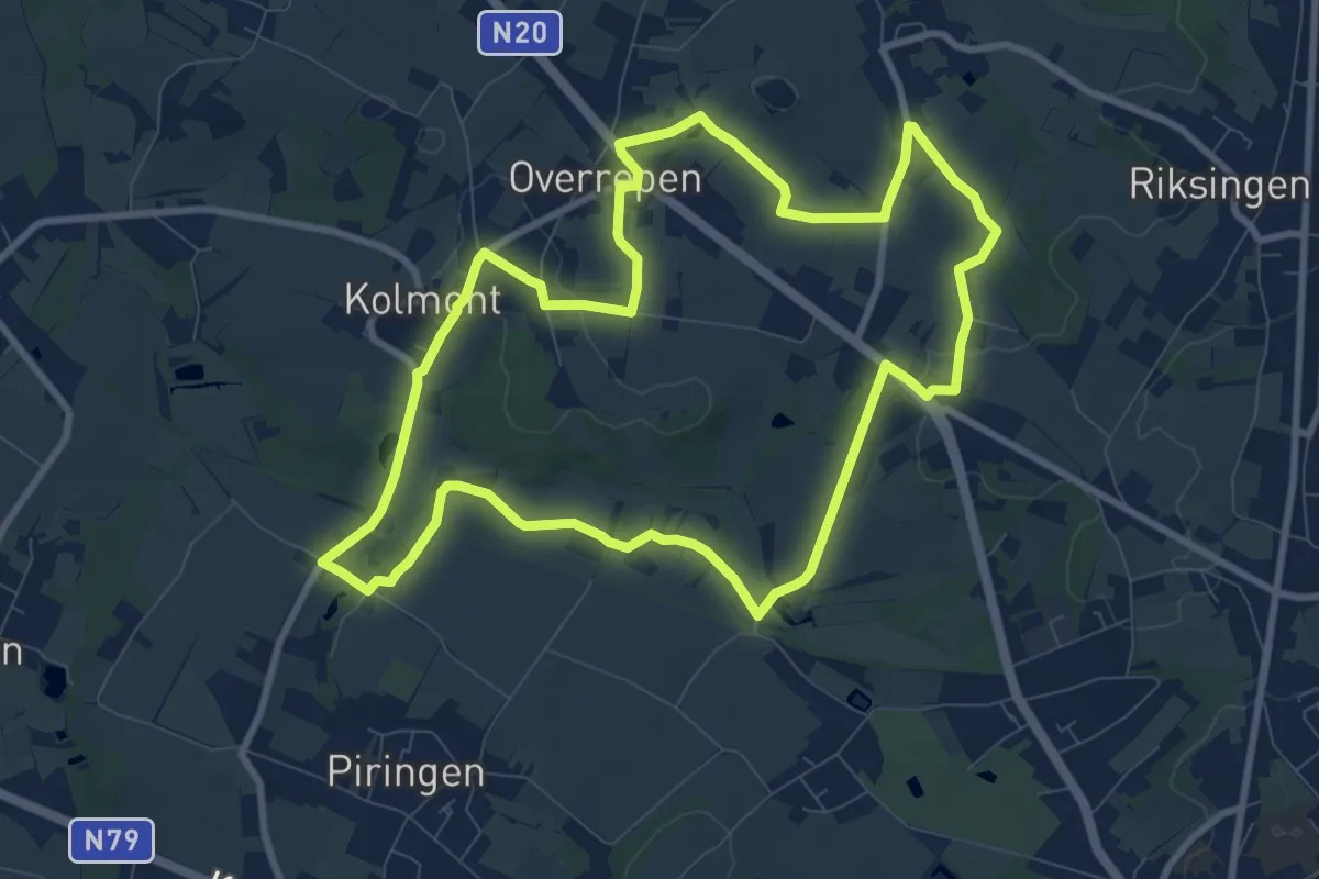
Medium · Trail
Overrepen
8.7 km · ↑ 61 m · 2 h 19 min
Easy · Trail
Paal Gele zeshoek
6.6 km · ↑ 35 m · 1 h 44 min
Medium · Trail
Paal Rode driehoek
13.6 km · ↑ 95 m · 3 h 36 min
Easy · Trail
Paddekotenpad
6.2 km · ↑ 4 m · 1 h 29 min
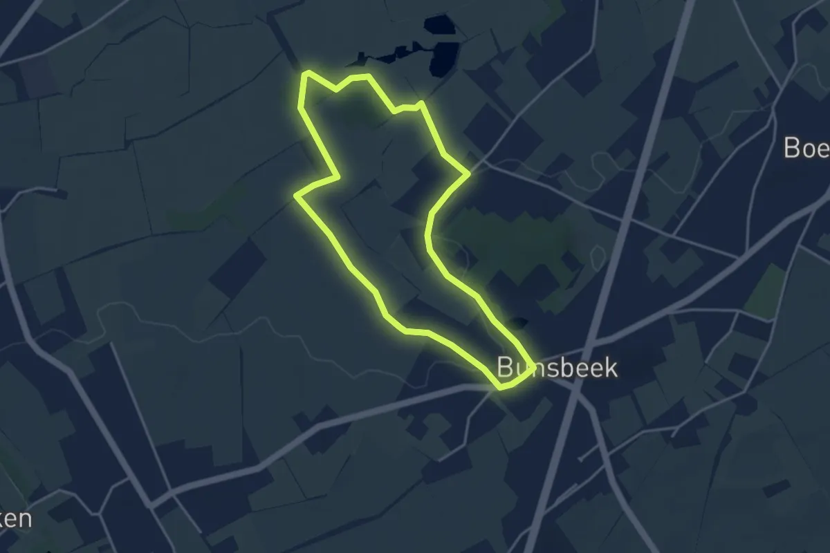
Easy · Trail
Paddepoel Groene ruit
3.3 km · ↑ 14 m · 51 min
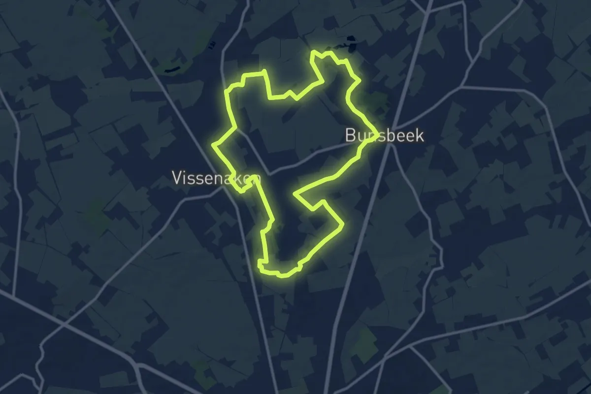
Medium · Trail
Paddepoel-Velpevallei Blauwe rechthoek
10.1 km · ↑ 57 m · 2 h 39 min
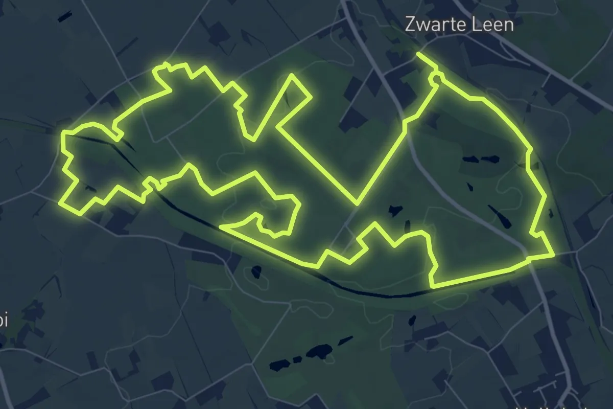
Medium · Trail
Palingbeekwandelroute
11.6 km · ↑ 67 m · 3 h 3 min
Easy · Trail
Pallieterroute
3.7 km · ↑ 0 m · 56 min
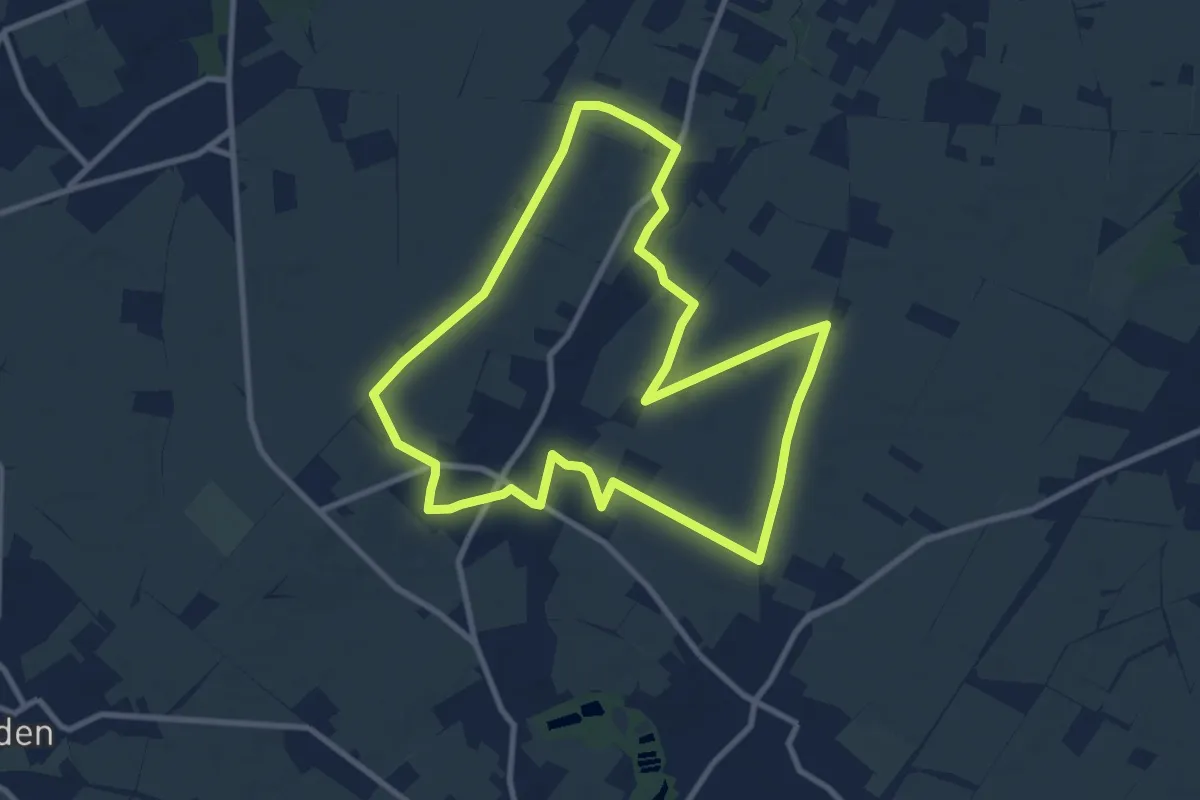
Medium · Trail
Panbruggewandeling
8.9 km · ↑ 38 m · 2 h 19 min
Medium · Trail
Pannendorp wandelroute
8.2 km · ↑ 0 m · 2 h 2 min
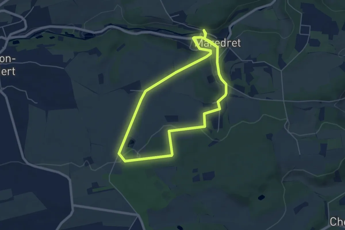
Easy · Trail
Panorama de la Cour
4.7 km · ↑ 97 m · 1 h 23 min
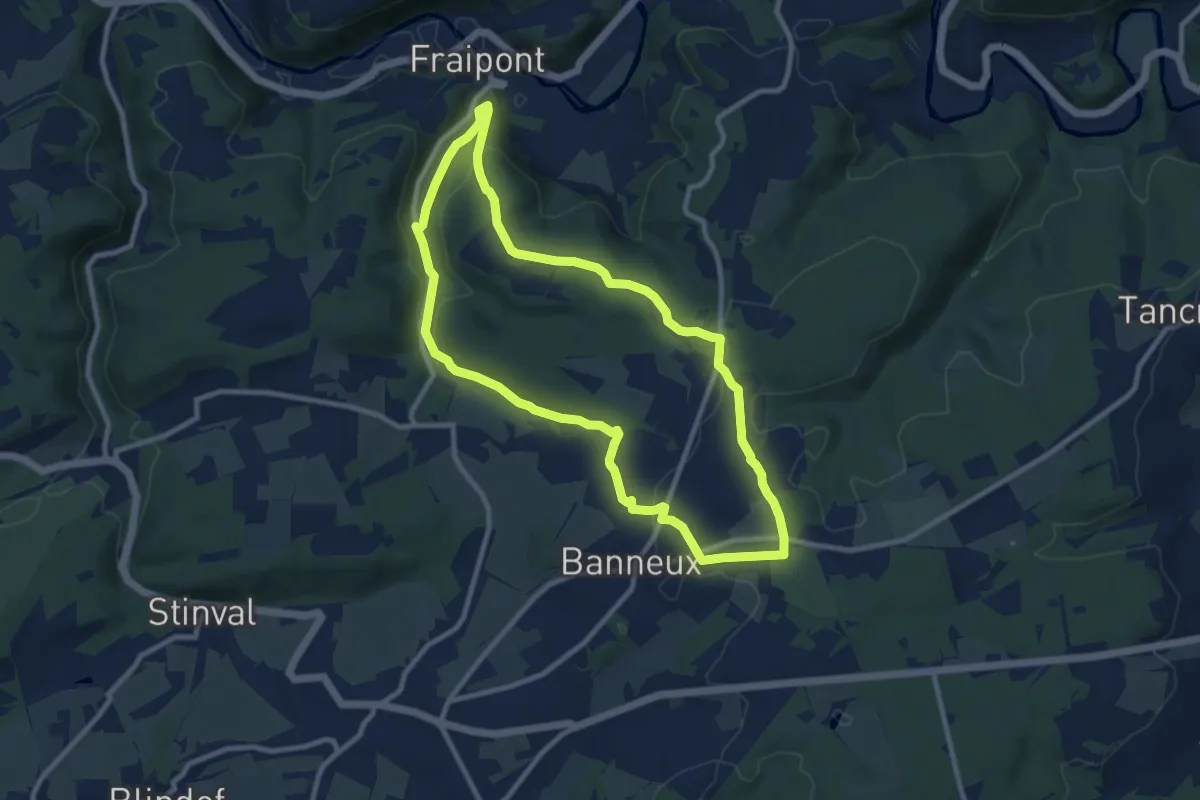
Medium · Trail
Panorama du Val de la Vesdre
8.7 km · ↑ 182 m · 2 h 34 min
Medium · Trail
Panoramapad
12.0 km · ↑ 17 m · 2 h 52 min
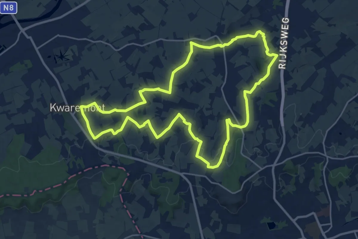
Medium · Summit
Panoramaroute
15.5 km · ↑ 312 m · 4 h 33 min
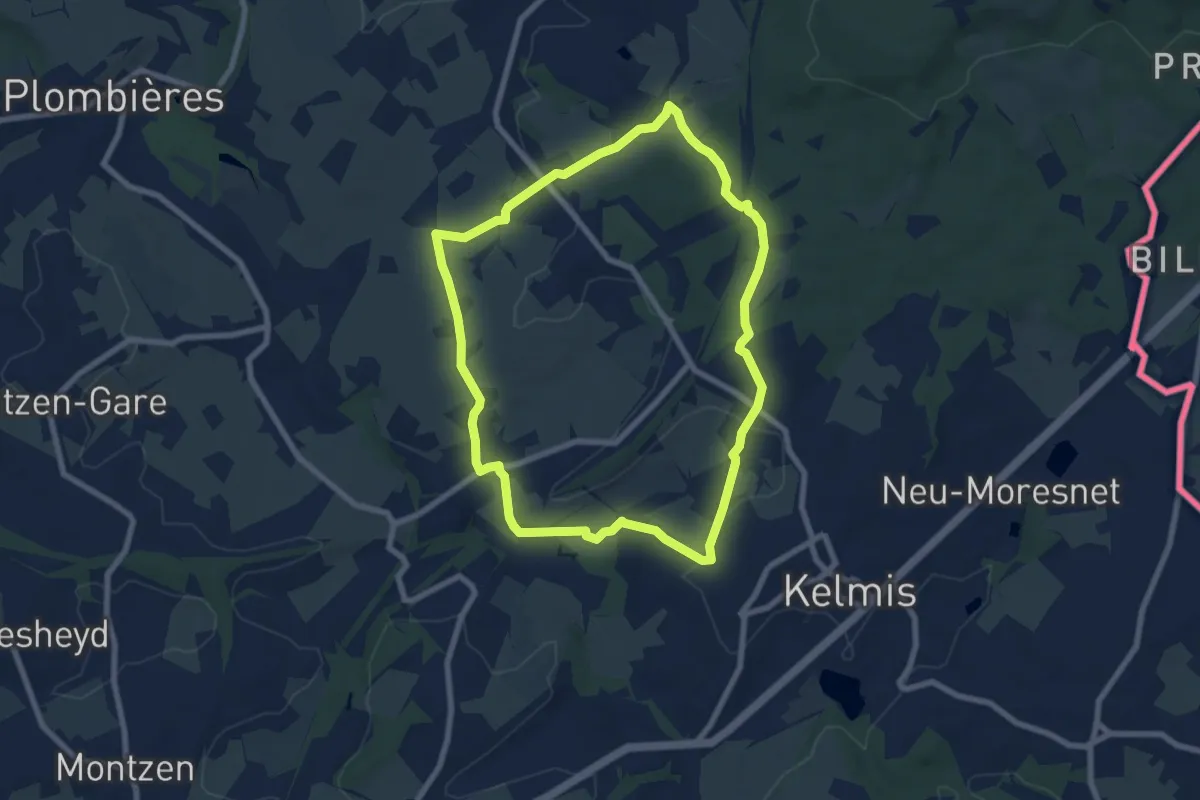
Easy · Trail
Panoramas
6.8 km · ↑ 110 m · 1 h 57 min
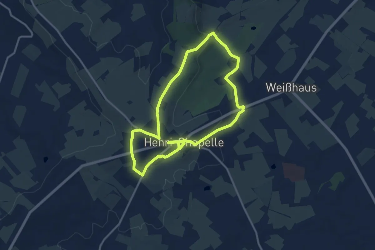
Medium · Trail
Panoramas
14.8 km · ↑ 256 m · 4 h 3 min
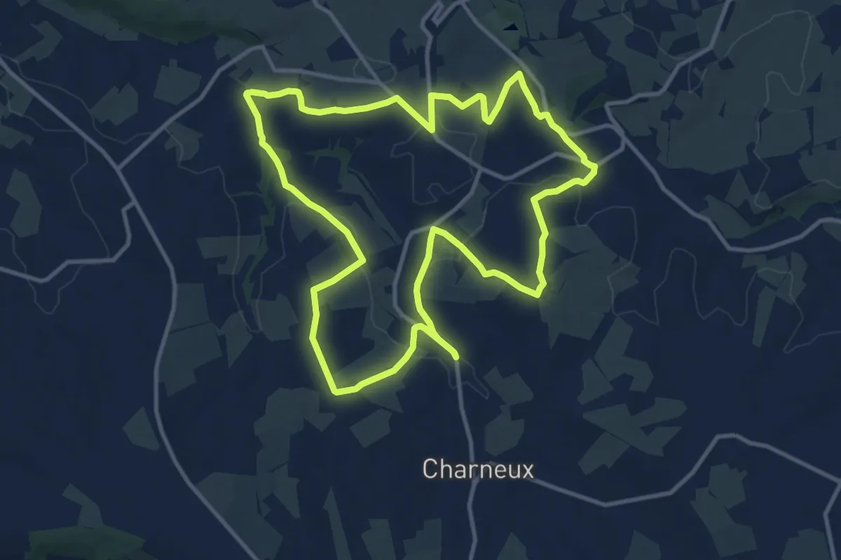
Medium · Trail
Panoramas du Bois del Fiesse
10.5 km · ↑ 201 m · 3 h 4 min
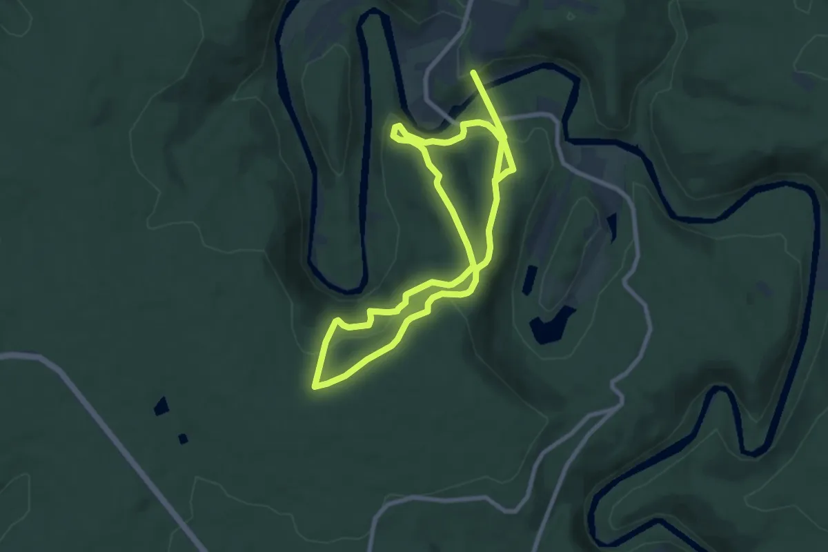
Easy · Trail
Panoramas sur le Semois
7.0 km · ↑ 262 m · 2 h 20 min
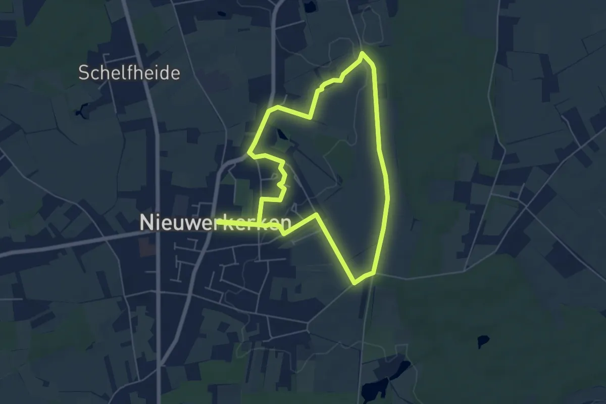
Easy · Trail
Panoramawandeling
5.0 km · ↑ 32 m · 1 h 19 min
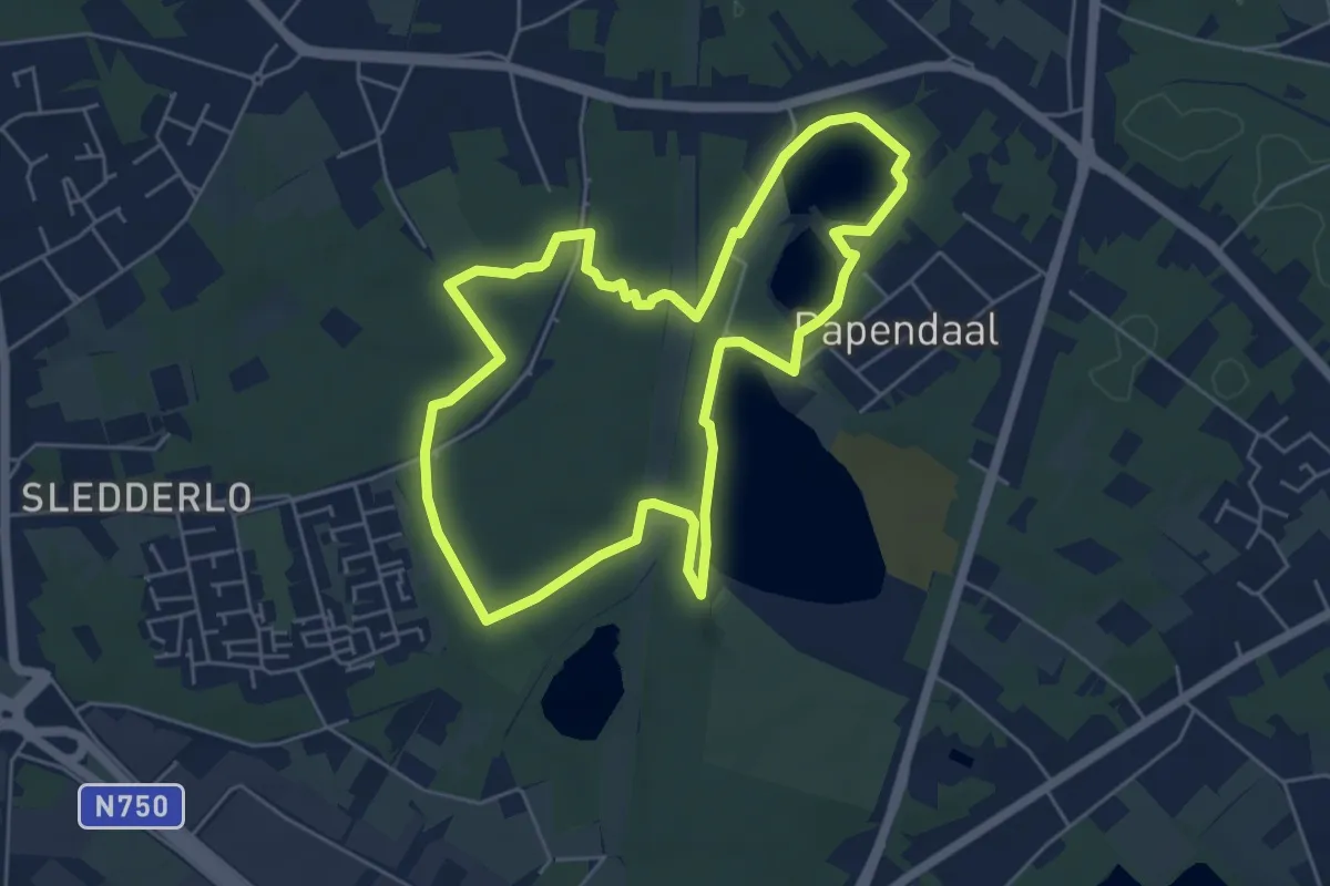
Easy · Trail
Papendaalheide Groene rechthoek
5.1 km · ↑ 35 m · 1 h 21 min
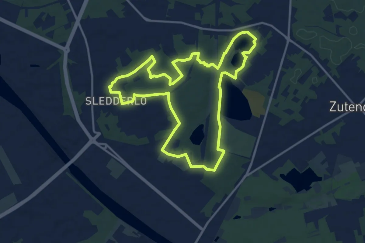
Medium · Trail
Papendaalheide - Sledderlo Blauwe ruit
8.7 km · ↑ 60 m · 2 h 18 min
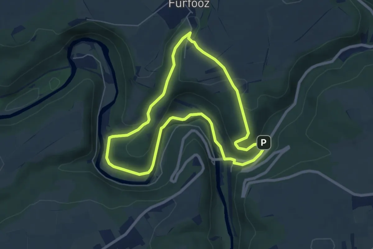
Easy · Trail
Parc de Furfooz
5.1 km · ↑ 129 m · 1 h 33 min
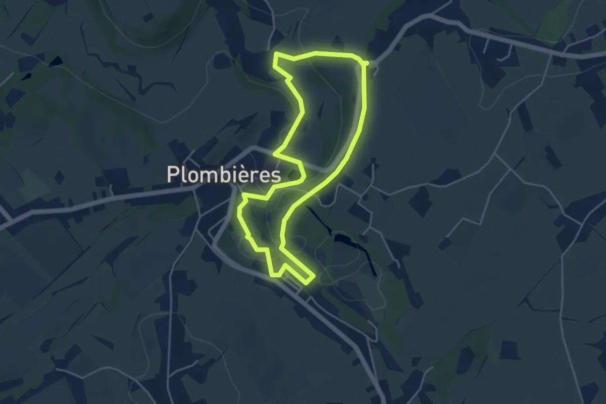
Easy · Trail
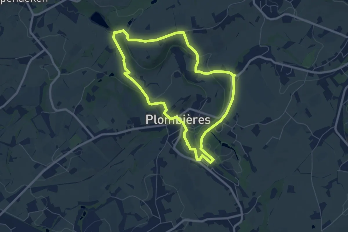
Parcours Natagora 3 km
3.6 km · ↑ 29 m · 57 min
Easy · Trail
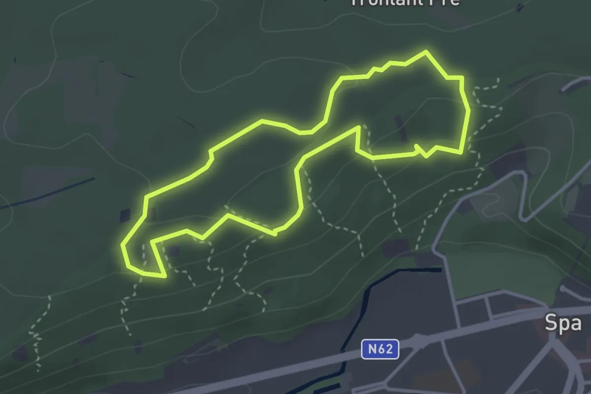
Parcours Natagora 6 km
5.7 km · ↑ 104 m · 1 h 39 min
Easy · Trail
Parcours Santé
2.8 km · ↑ 78 m · 52 min
Easy · Trail
Parkbos Grand Noble-route
3.2 km · ↑ 5 m · 49 min
Easy · Trail
Parkpad
7.1 km · ↑ 26 m · 1 h 44 min
Medium · Trail
Parkpad
17.0 km · ↑ 48 m · 4 h 21 min
Easy · Trail
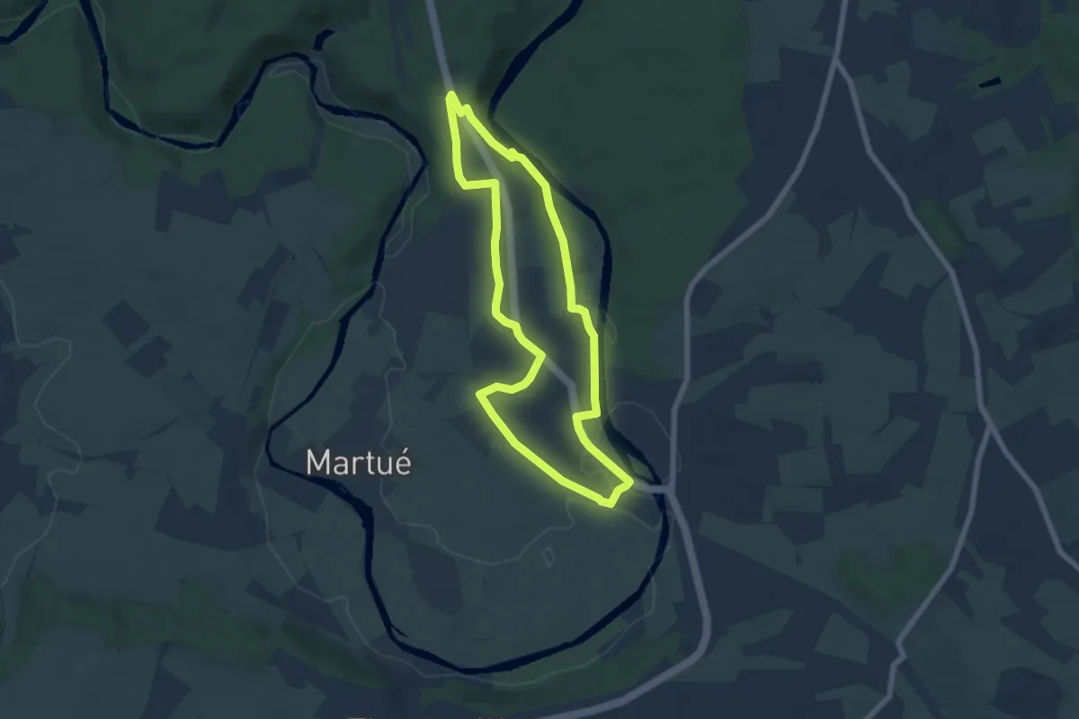
Parkwandeling
2.7 km · ↑ 10 m · 42 min
Easy · Trail
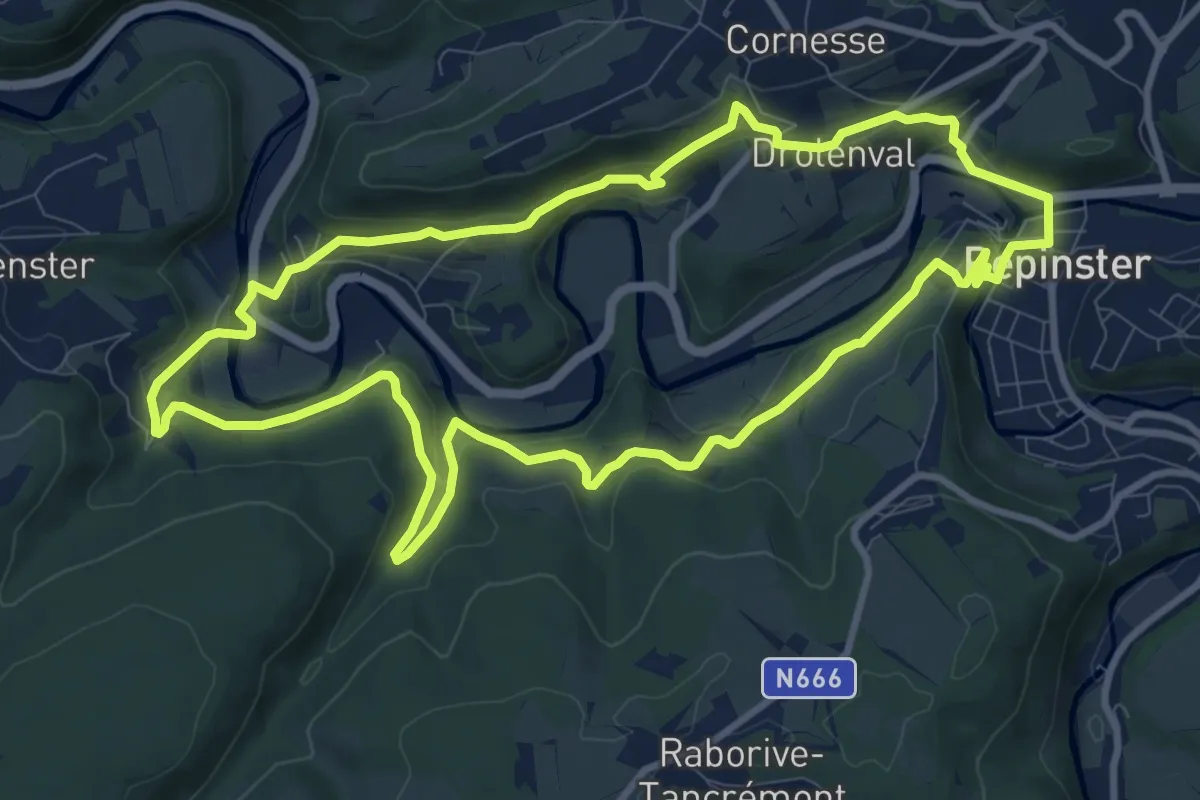
Par le Semois
5.5 km · ↑ 57 m · 1 h 30 min
Medium · Trail
Par Monts et par Vesdre
9.6 km · ↑ 304 m · 3 h 4 min
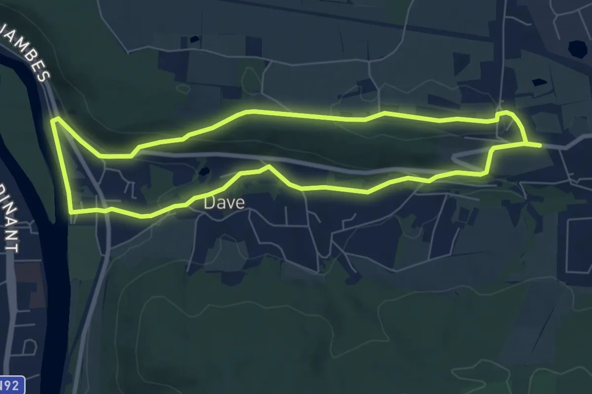
Easy · Trail
Par Monts et Vallées (Naninne - Dave)
6.2 km · ↑ 127 m · 1 h 49 min
Easy · Trail
Parochieveld
7.9 km · ↑ 30 m · 2 h 3 min
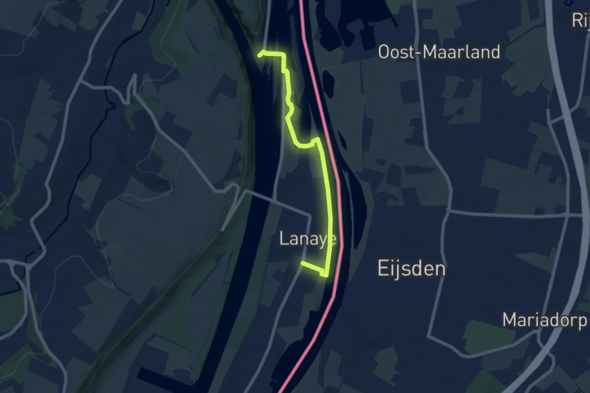
Easy · Trail
Passerelle - blauwe route
2.8 km · ↑ 28 m · 45 min
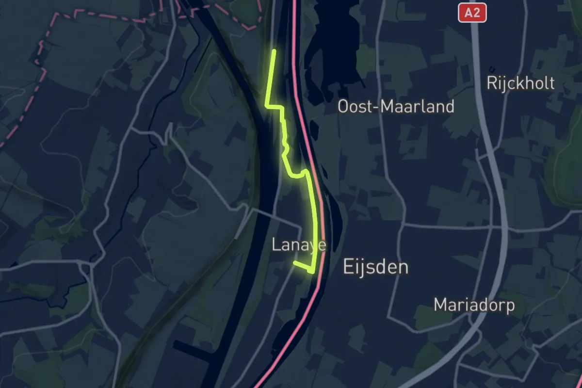
Easy · Trail
Passerelle - gele route
3.4 km · ↑ 35 m · 55 min
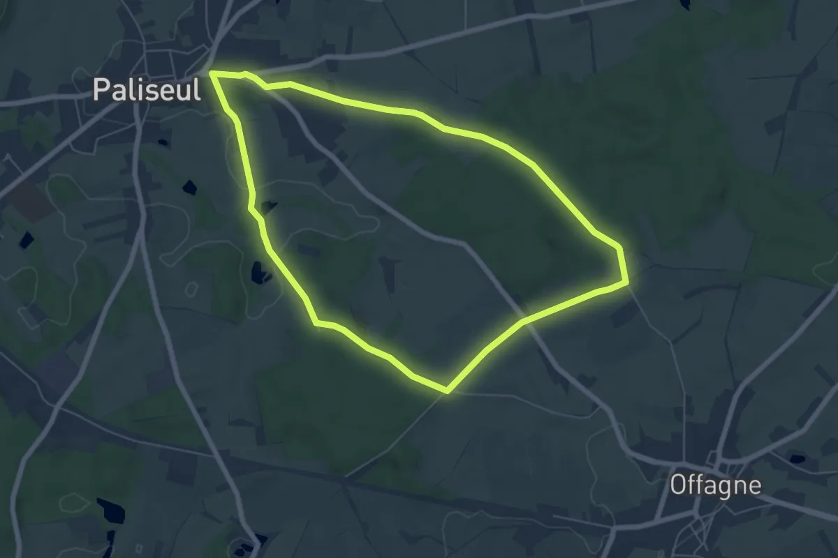
Easy · Trail
Paul Verlaine
5.7 km · ↑ 54 m · 1 h 33 min
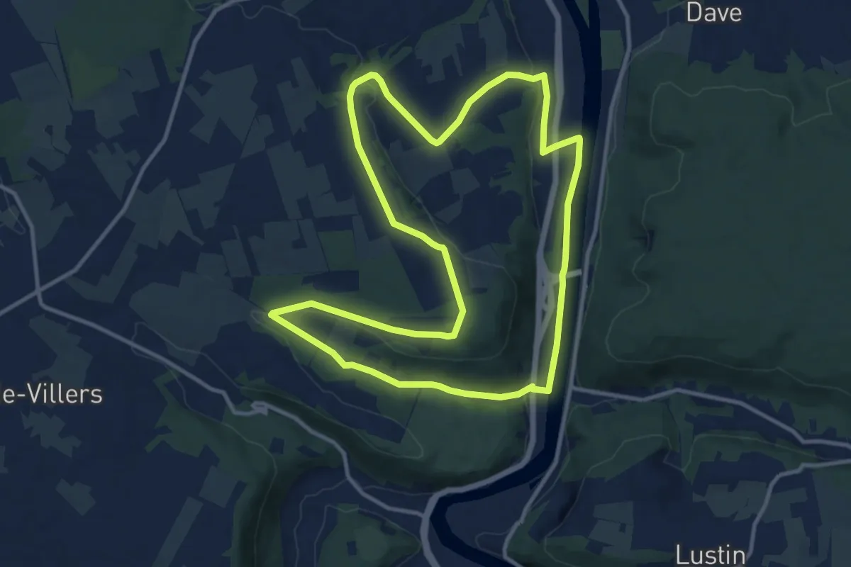
Medium · Trail
Paysages de Meuse
10.5 km · ↑ 177 m · 3 h 1 min
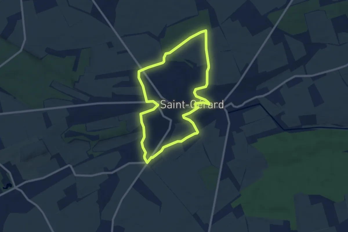
Easy · Trail
Pays de Brogne
5.7 km · ↑ 77 m · 1 h 36 min
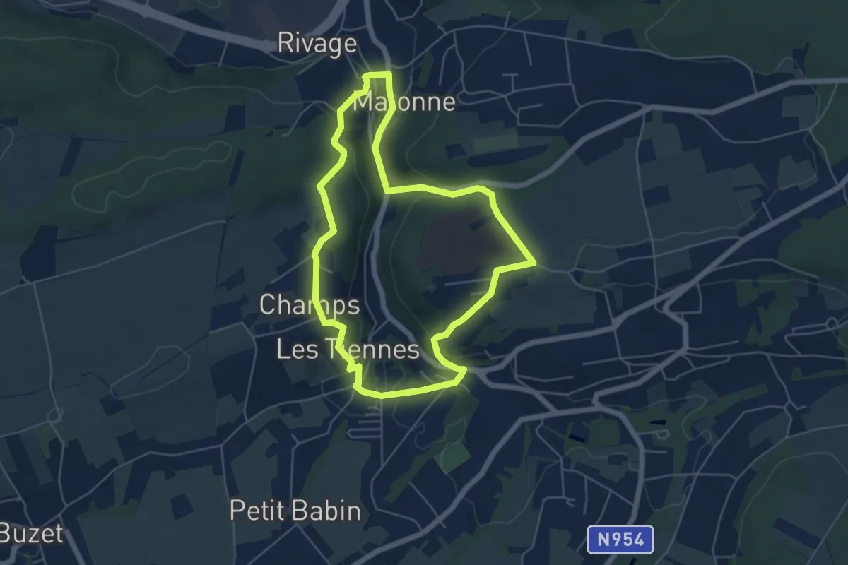
Easy · Trail
Pays de Liège
4.8 km · ↑ 143 m · 1 h 31 min
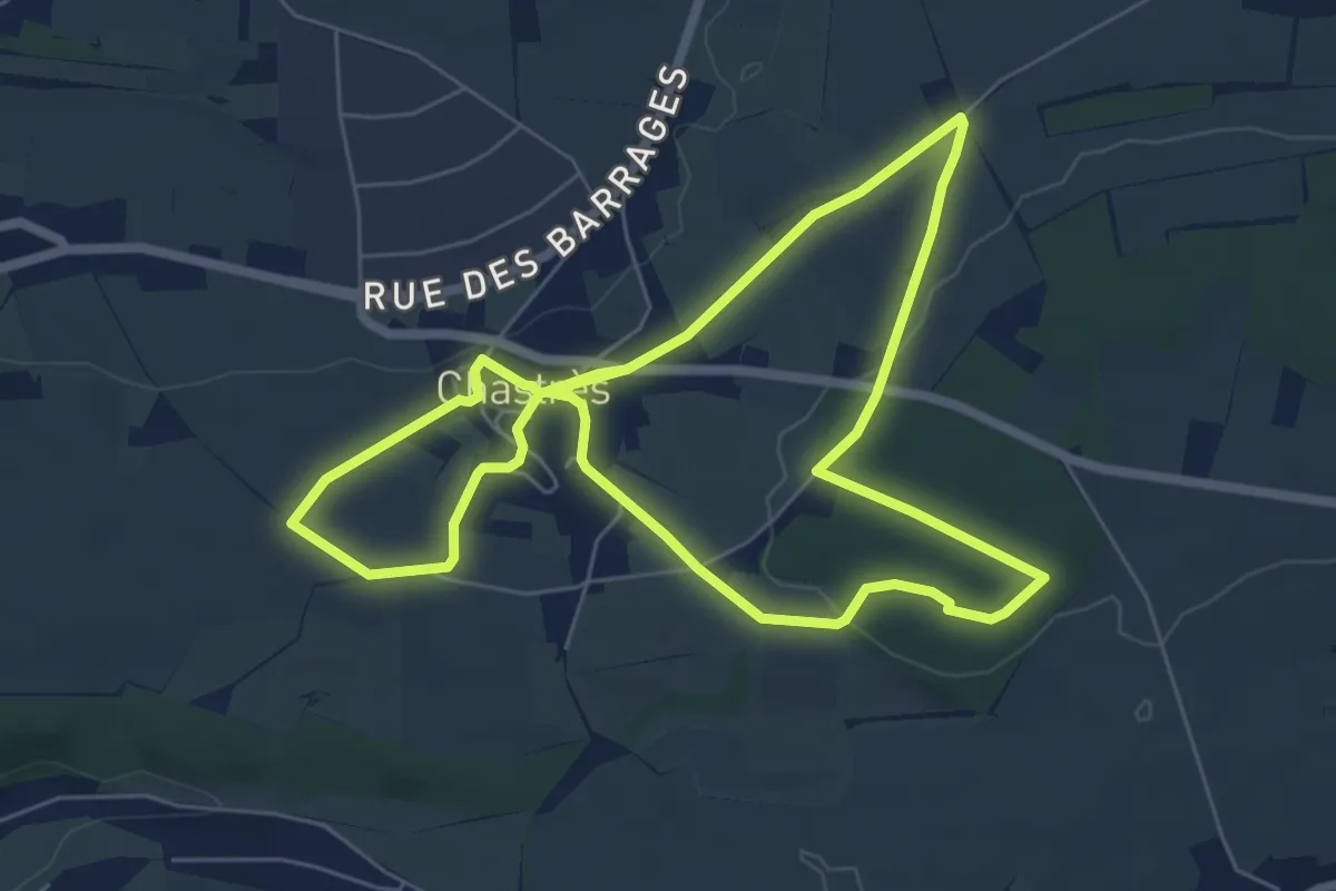
Easy · Trail
Pays des Splingues
6.0 km · ↑ 77 m · 1 h 40 min
Easy · Trail
Peerdsbospad
5.4 km · ↑ 9 m · 1 h 22 min