Trails in Belgium
3,383 hiking trails, each with its route, climb, walking time and grade.
All trails, page 42 of 71
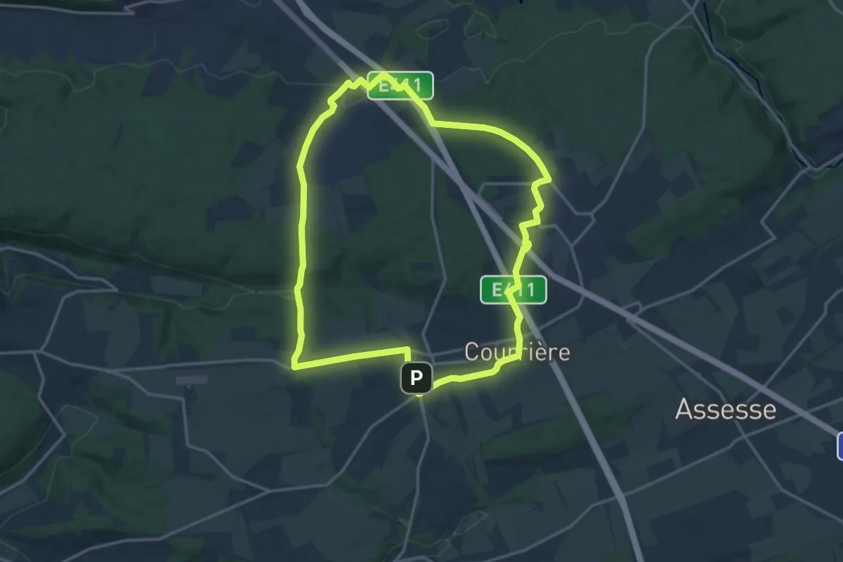
Medium · Trail
Promenade 10 Sart-Bernard - Courrière - Maillen
13.5 km · ↑ 207 m · 3 h 49 min
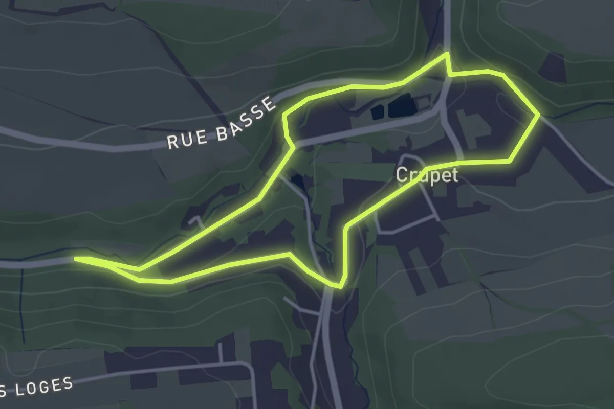
Easy · Trail
Promenade 12 Crupet Tour du Village
3.2 km · ↑ 37 m · 53 min
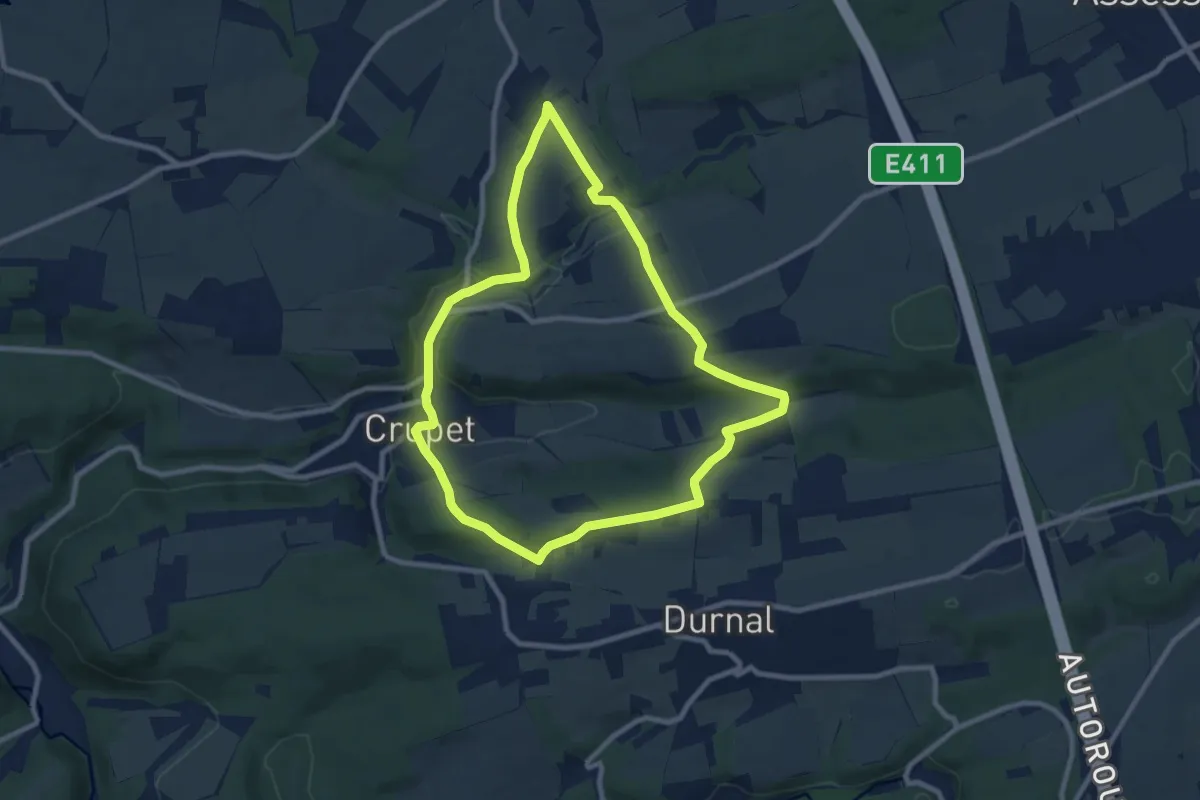
Medium · Trail
Promenade 13A Crupet
8.1 km · ↑ 228 m · 2 h 30 min
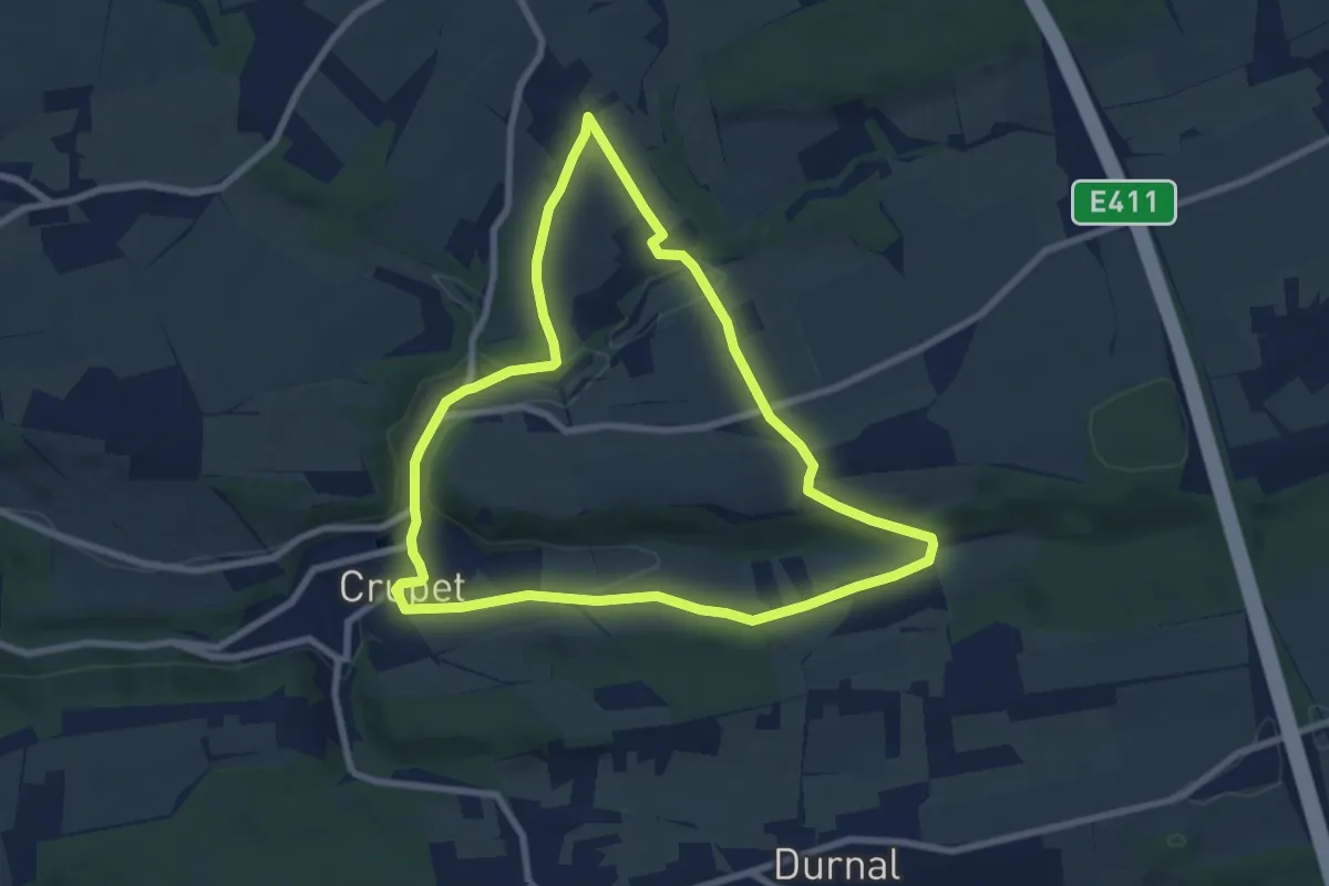
Easy · Trail
Promenade 13B Crupet
7.3 km · ↑ 157 m · 2 h 10 min
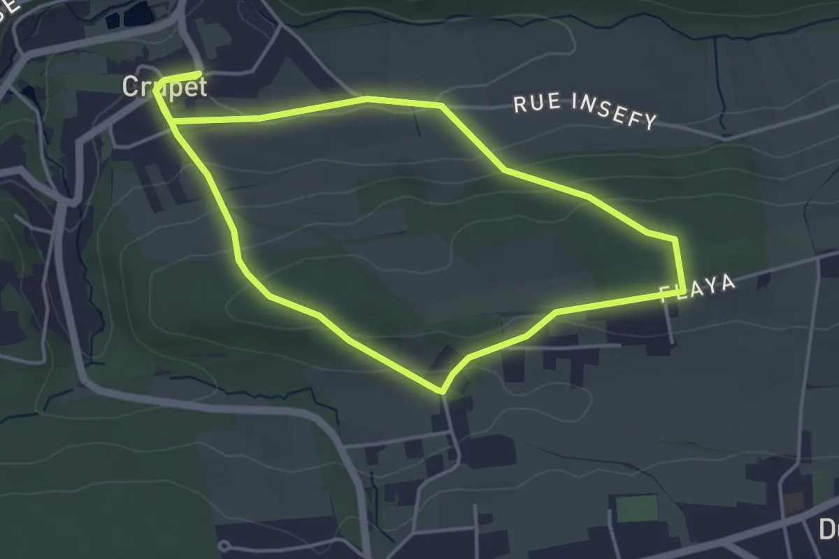
Easy · Trail
Promenade 13C Crupet
3.7 km · ↑ 131 m · 1 h 13 min
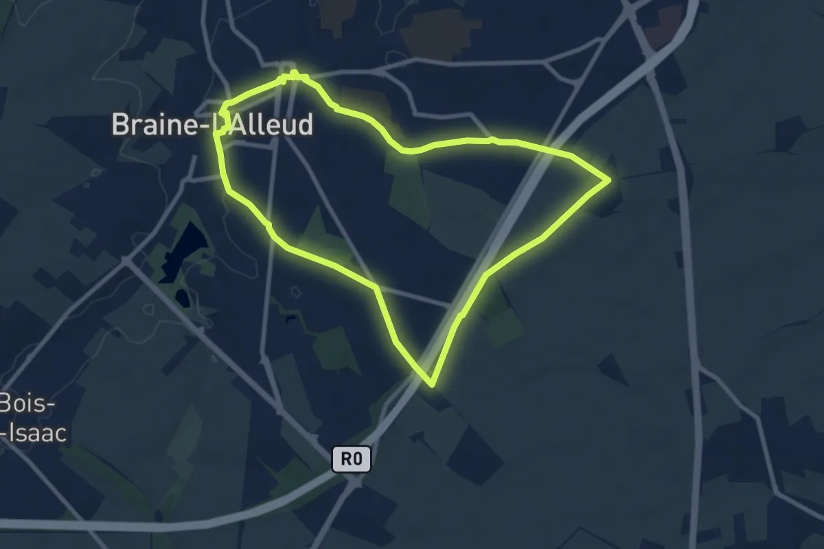
Easy · Summit
Promenade 1815
7.2 km · ↑ 40 m · 1 h 54 min
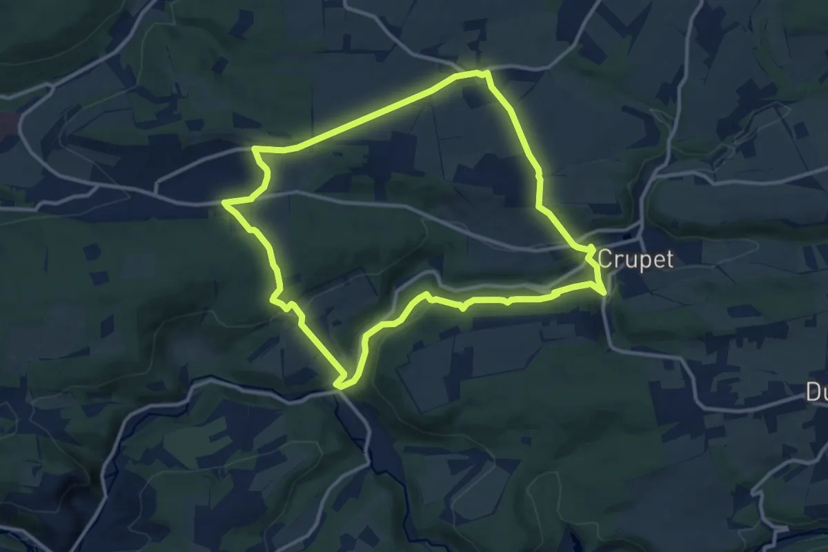
Medium · Trail
Promenade 1 Crupet - Venatte - Ronchinne
10.3 km · ↑ 290 m · 3 h 12 min
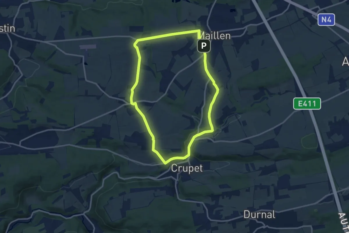
Medium · Trail
Promenade 2 Crupet - Ivoy - Maillen
9.2 km · ↑ 139 m · 2 h 36 min
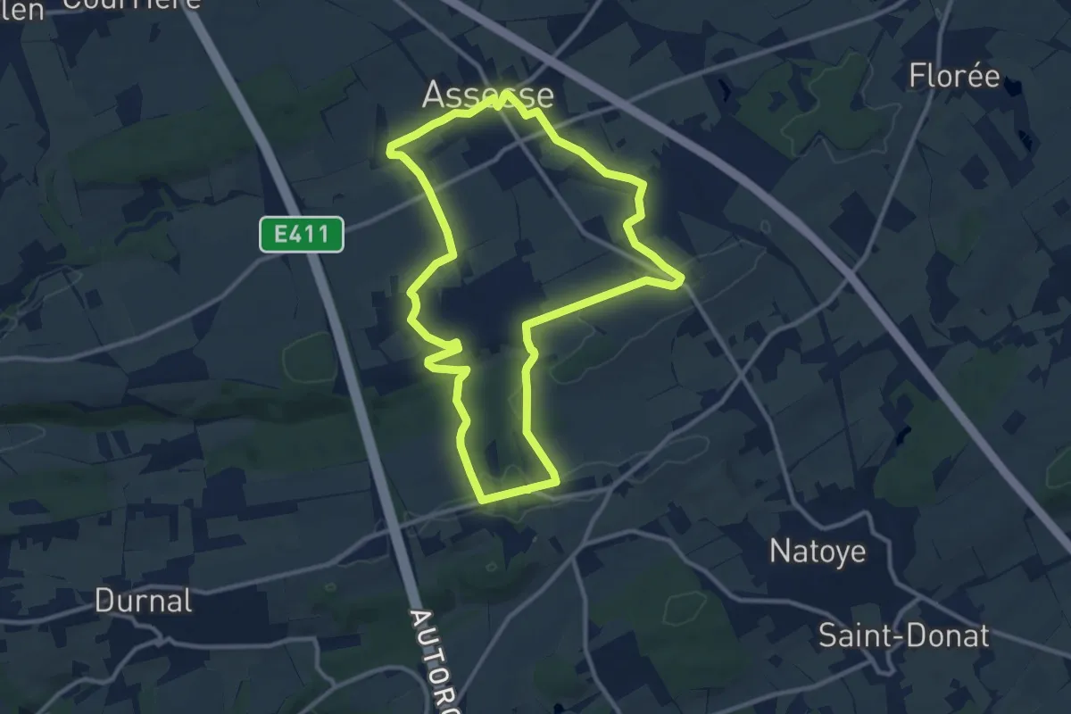
Medium · Trail
Promenade 3 Assesse - Mianoye
10.1 km · ↑ 129 m · 2 h 48 min
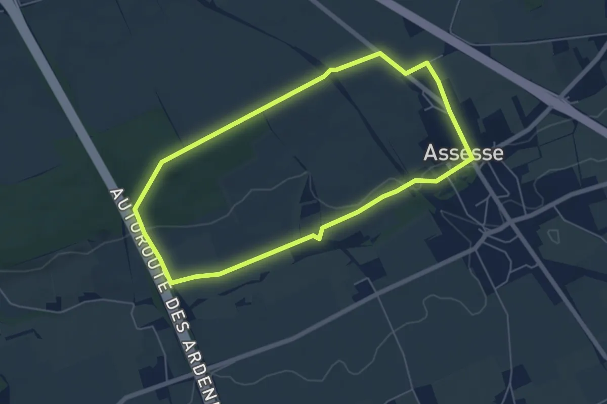
Easy · Trail
Promenade 4 Assesse - Bois de Mière
4.4 km · ↑ 54 m · 1 h 14 min
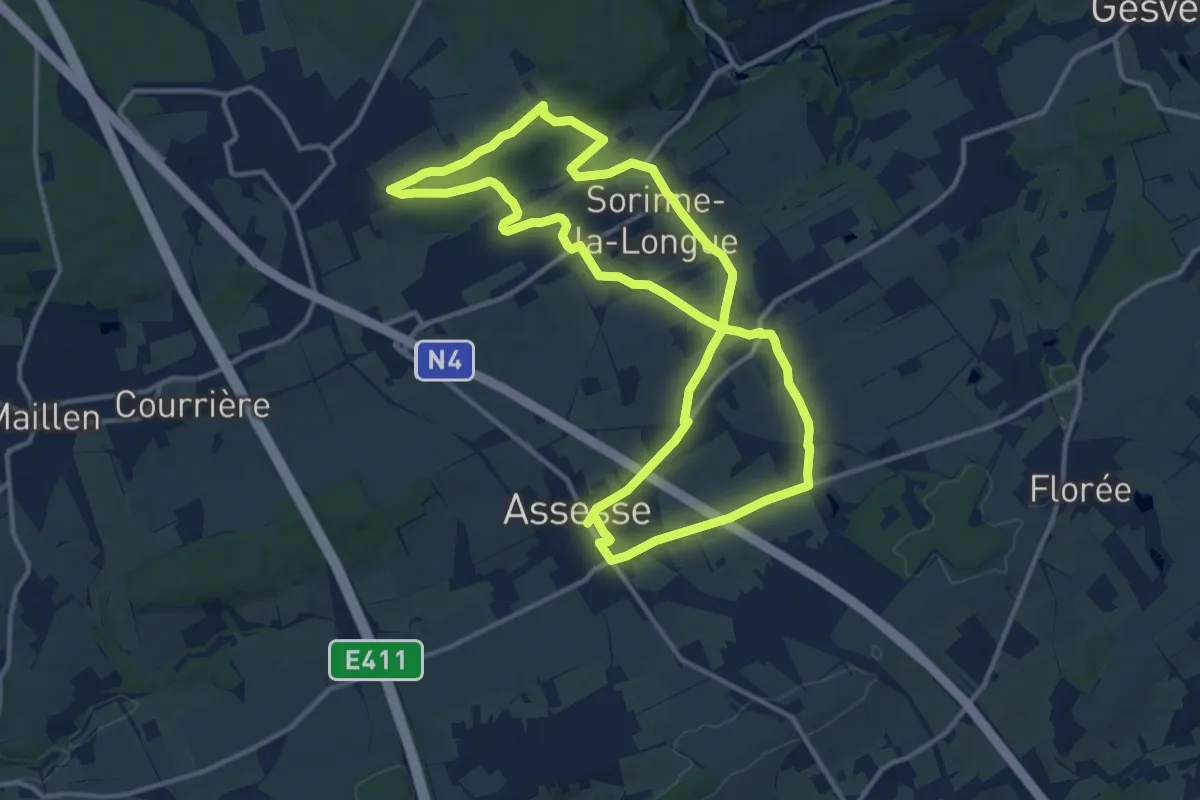
Medium · Trail
Promenade 5 Assesse - Sorinne
12.2 km · ↑ 176 m · 3 h 26 min
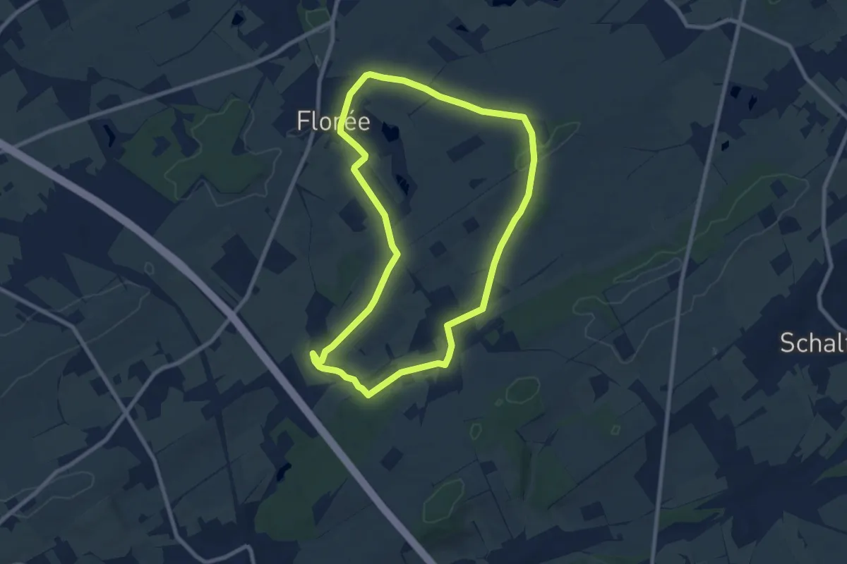
Easy · Trail
Promenade 6 Florée - Maibelle
7.4 km · ↑ 72 m · 2 h
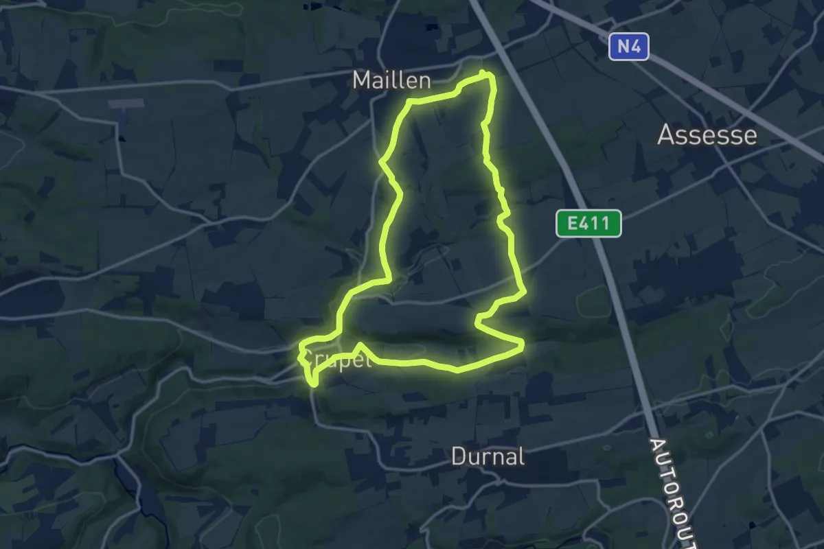
Medium · Trail
Promenade 7 Courrière - Crupet - Maillen
12.3 km · ↑ 217 m · 3 h 33 min
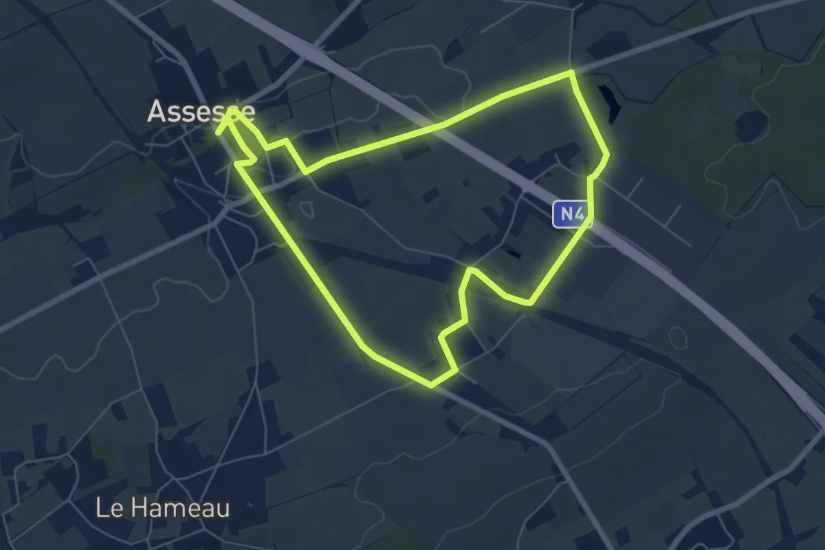
Easy · Trail
Promenade 9 Assesse - La Camousse
5.5 km · ↑ 39 m · 1 h 28 min
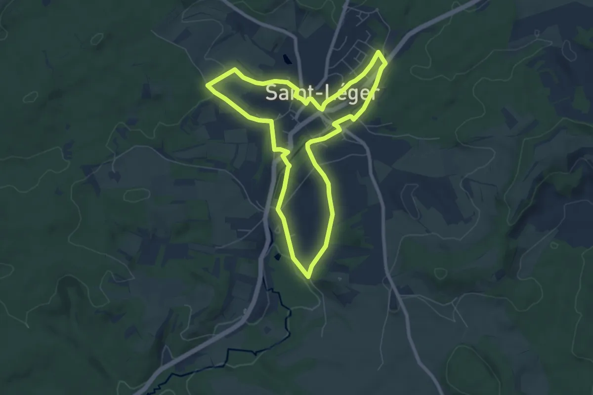
Easy · Trail
Promenade à Sint-Ldjir
6.2 km · ↑ 76 m · 1 h 43 min
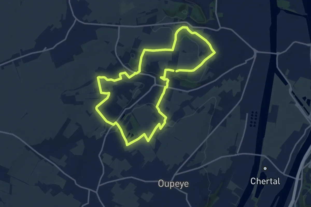
Medium · Trail
Promenade Au Pays des Carrières
10.2 km · ↑ 124 m · 2 h 48 min
Easy · Trail
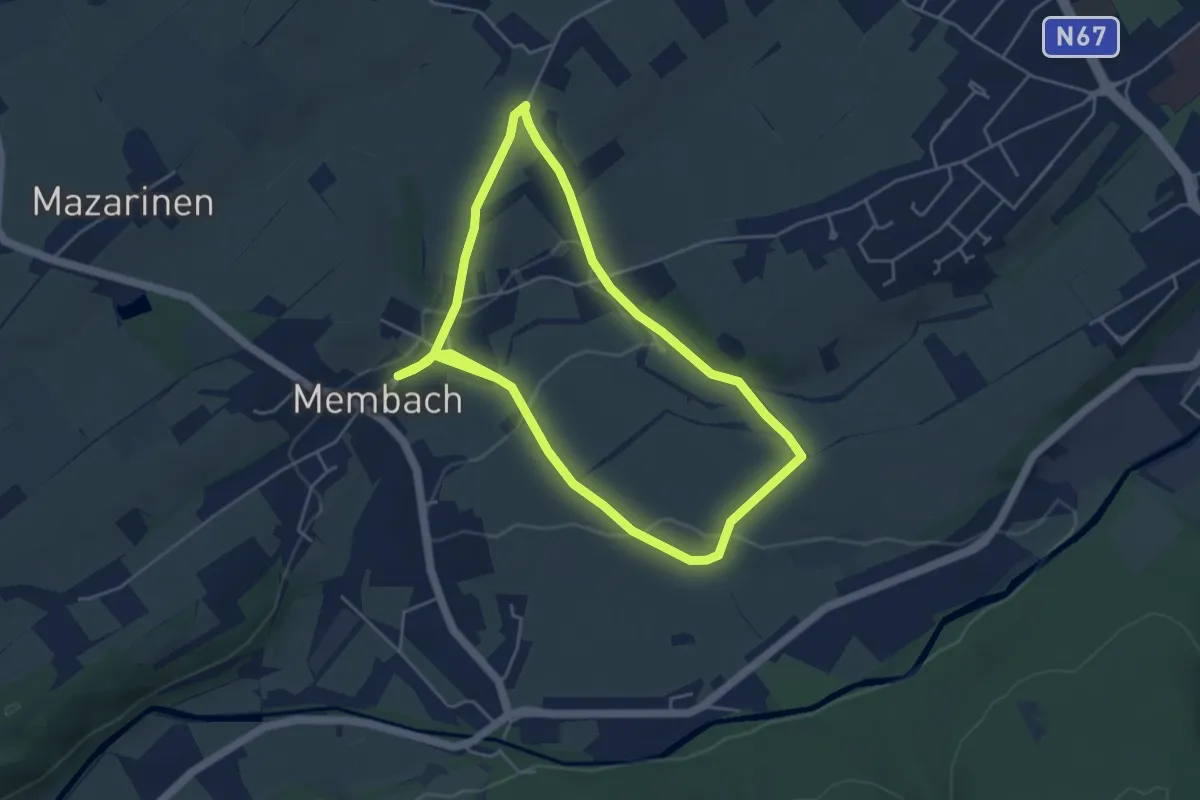
Promenade autour du village de Membach
4.1 km · ↑ 55 m · 1 h 9 min
Easy · Trail
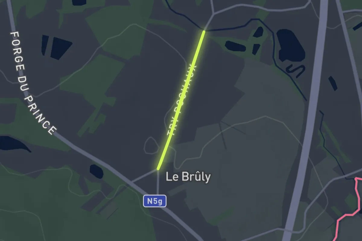
Promenade Capitaine
1.4 km · ↑ 17 m · 23 min
Easy · Trail
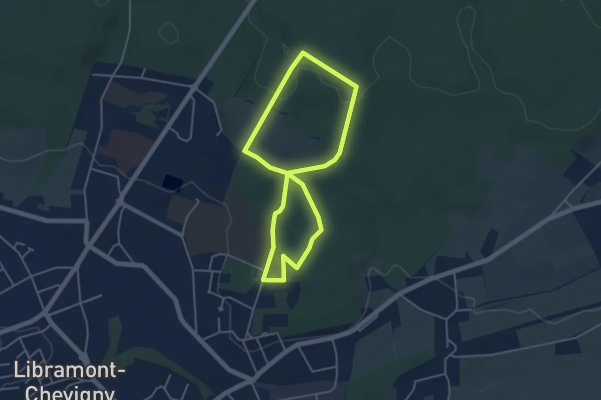
Promenade Celtique
3.0 km · ↑ 50 m · 51 min
Easy · Trail
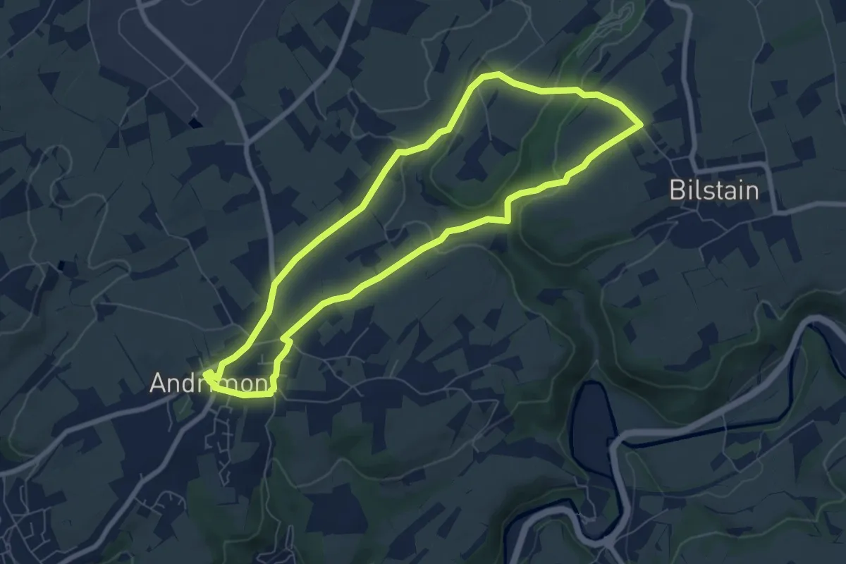
Promenade Chantal Noël
6.4 km · ↑ 120 m · 1 h 52 min
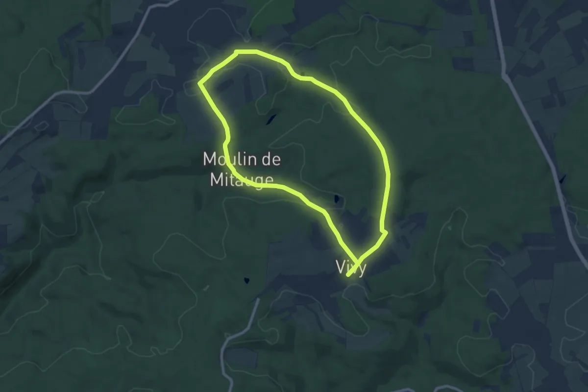
Medium · Trail
Promenade Chapelle de Oizy
14.1 km · ↑ 250 m · 3 h 53 min
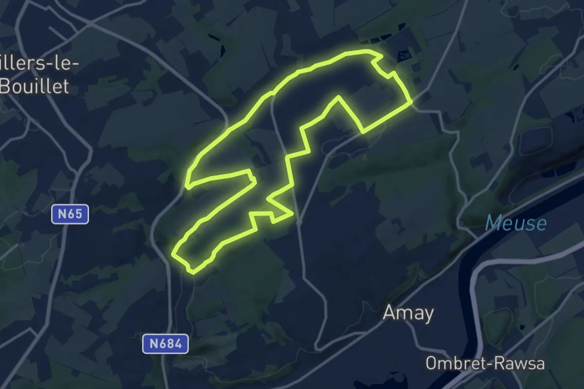
Medium · Trail
Promenade Château de Jehay
11.5 km · ↑ 177 m · 3 h 16 min
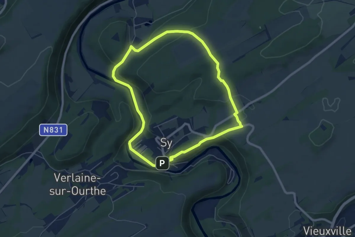
Easy · Cabin
Promenade Croix du Curé
5.1 km · ↑ 127 m · 1 h 34 min
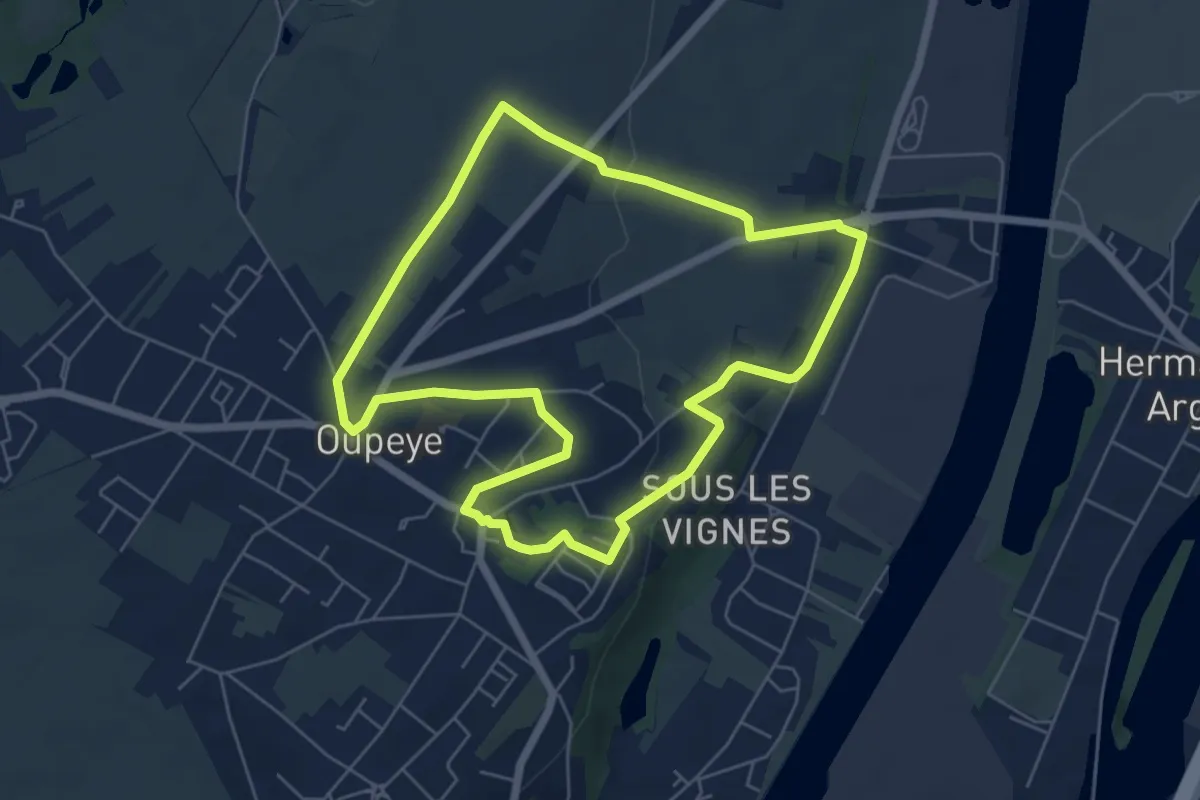
Easy · Trail
Promenade d'Alpaïde
5.5 km · ↑ 70 m · 1 h 31 min
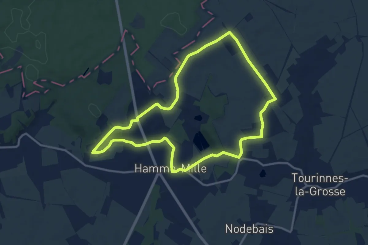
Easy · Trail
Promenade d’Ame et de M’lin
7.5 km · ↑ 67 m · 2 h 1 min
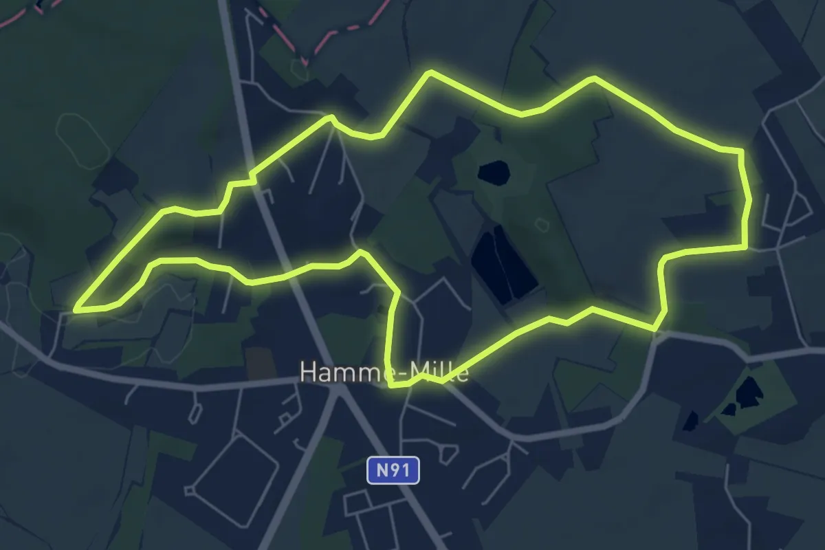
Easy · Trail
Promenade d’Ame et de M’lin (alternative)
6.1 km · ↑ 64 m · 1 h 41 min
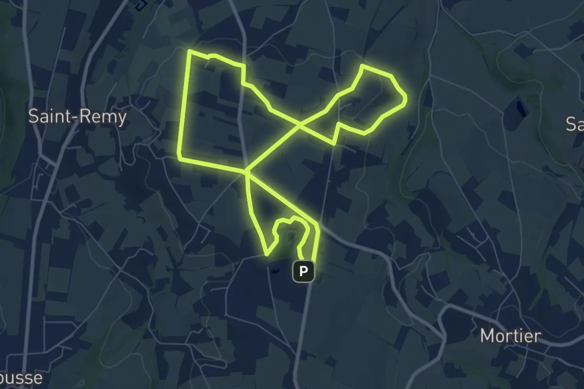
Easy · Trail
Promenade dans le Passé
7.1 km · ↑ 68 m · 1 h 56 min
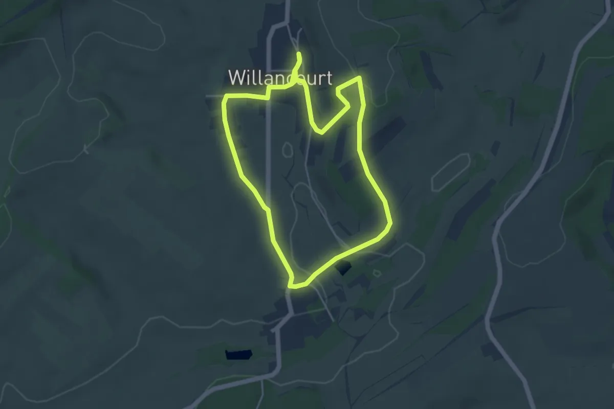
Easy · Trail
Promenade dans le Village Fleuri
3.9 km · ↑ 64 m · 1 h 8 min
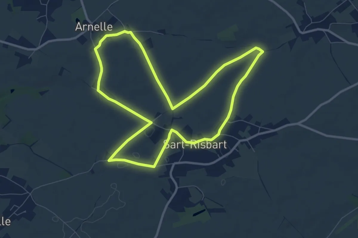
Easy · Trail
Promenade d'Arnelle
7.4 km · ↑ 31 m · 1 h 55 min
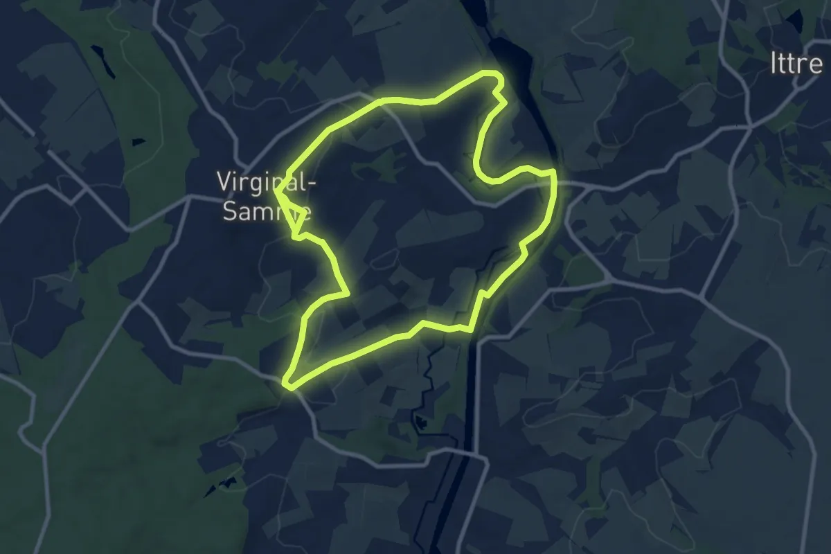
Medium · Trail
Promenade d'Asquempont
8.5 km · ↑ 105 m · 2 h 21 min
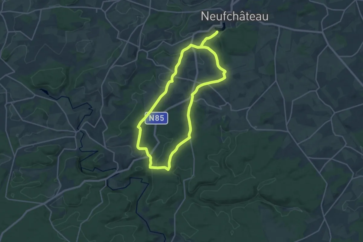
Medium · Trail
Promenade de Basse-Hevau
13.4 km · ↑ 214 m · 3 h 49 min
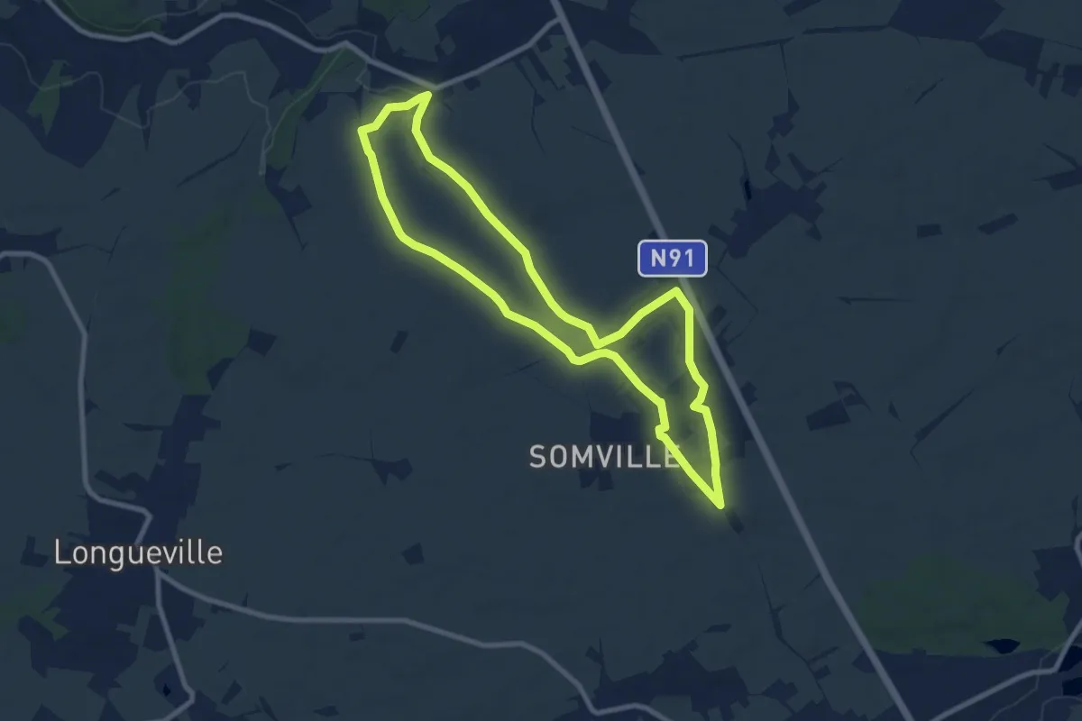
Medium · Trail
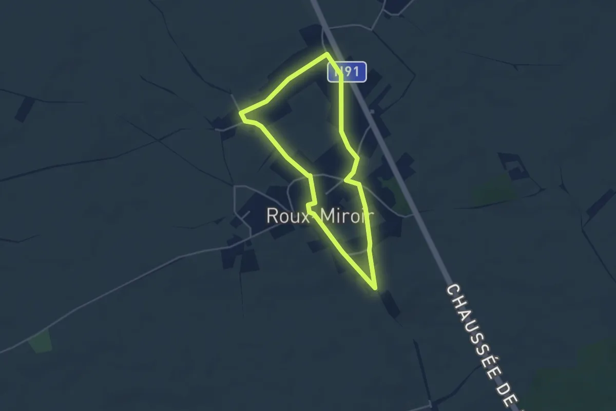
Promenade de Basse-Roux-Miroir
8.1 km · ↑ 46 m · 2 h 7 min
Easy · Trail
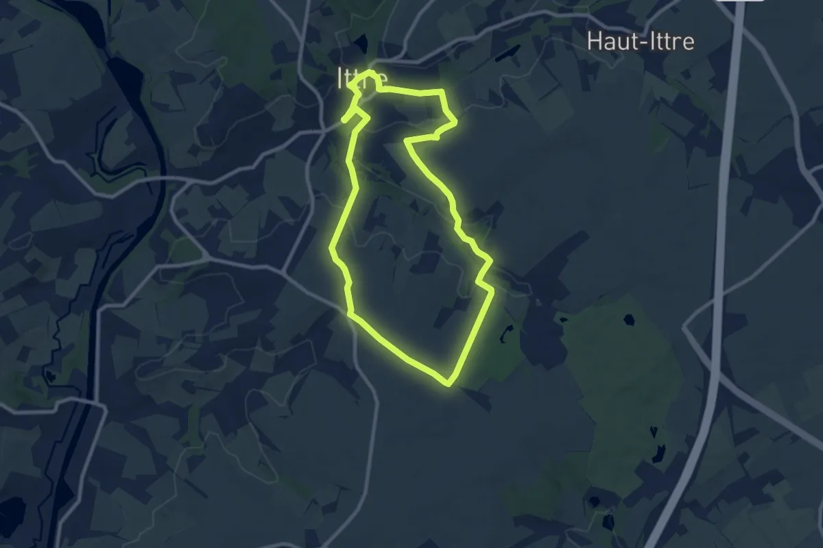
Promenade de Basse-Roux-Miroir (alternative)
3.3 km · ↑ 22 m · 53 min
Easy · Trail
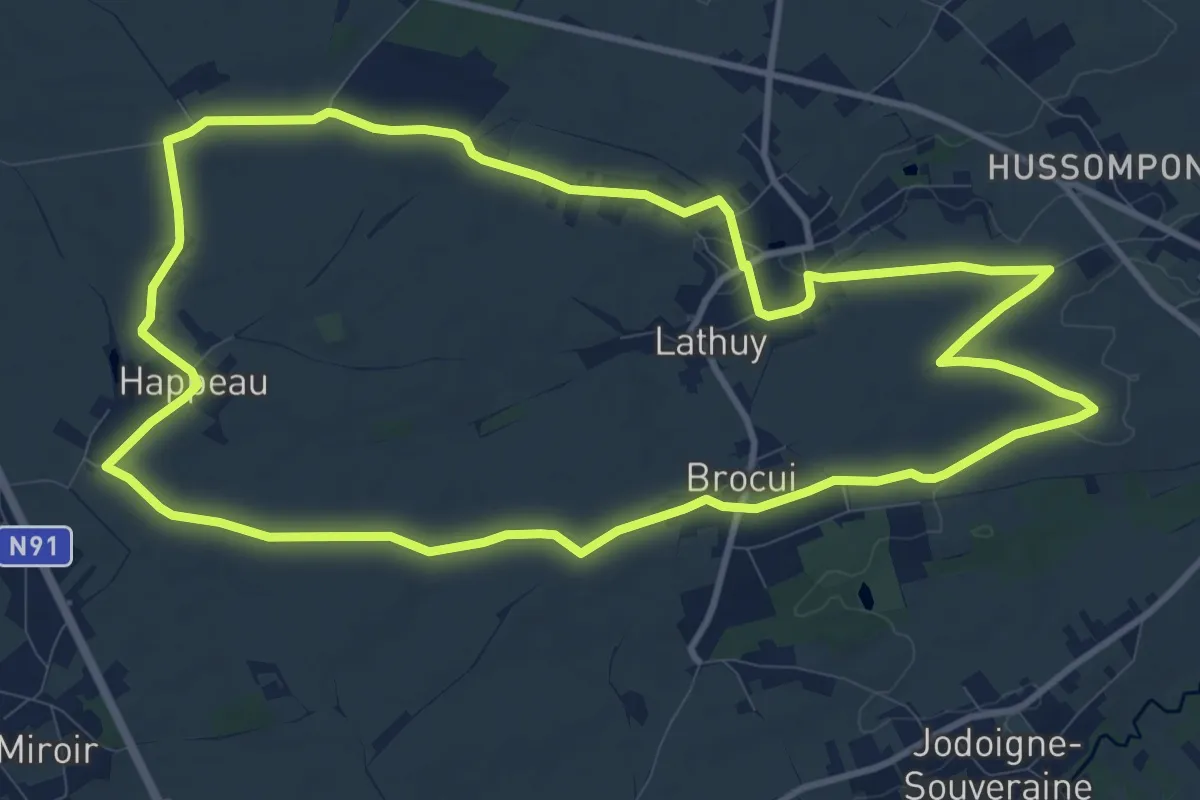
Promenade de Baudémont
7.9 km · ↑ 97 m · 2 h 10 min
Medium · Trail
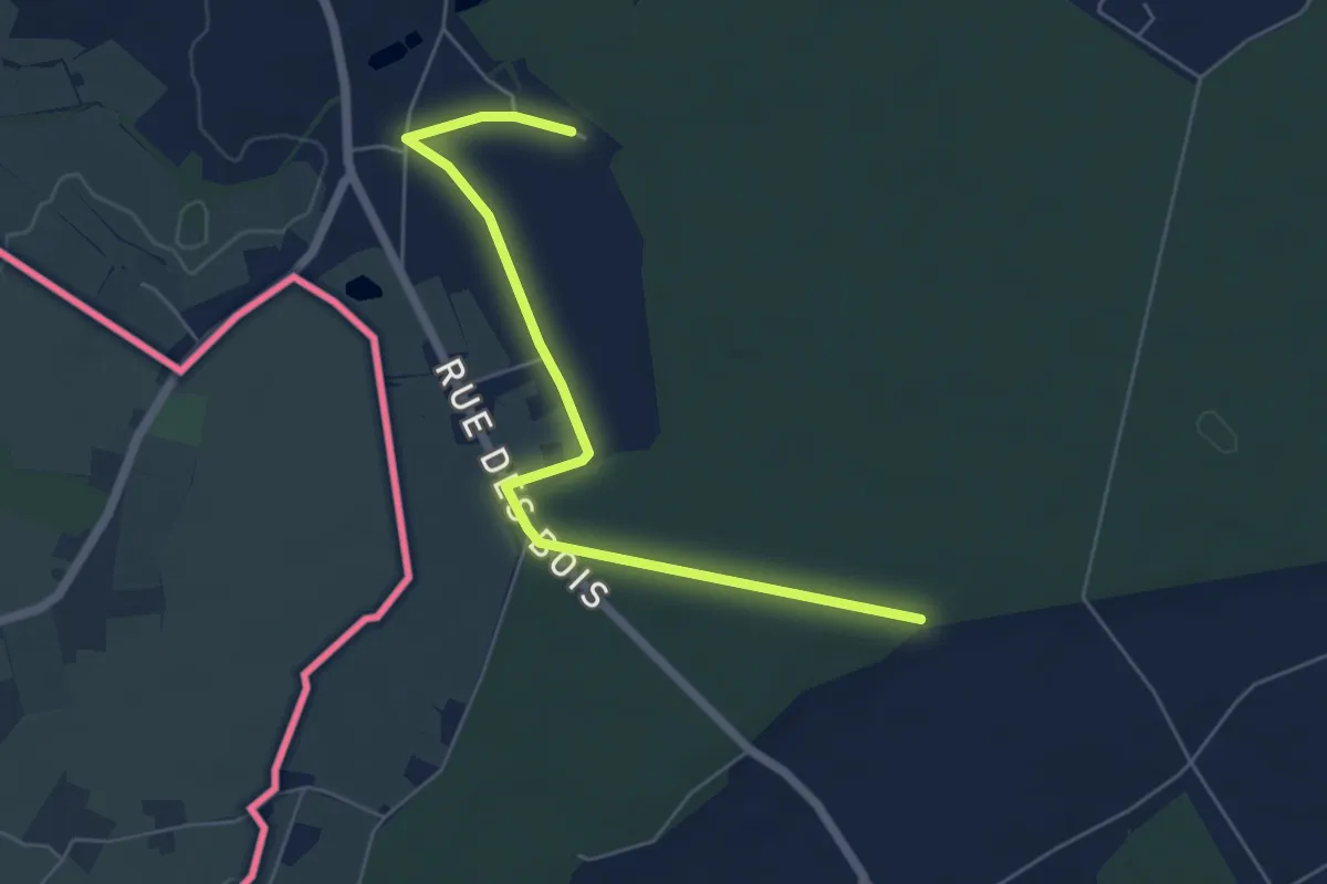
Promenade de Beaulieu
11.0 km · ↑ 64 m · 2 h 53 min
Easy · Trail
Promenade de Beauwelz
2.8 km · ↑ 13 m · 44 min
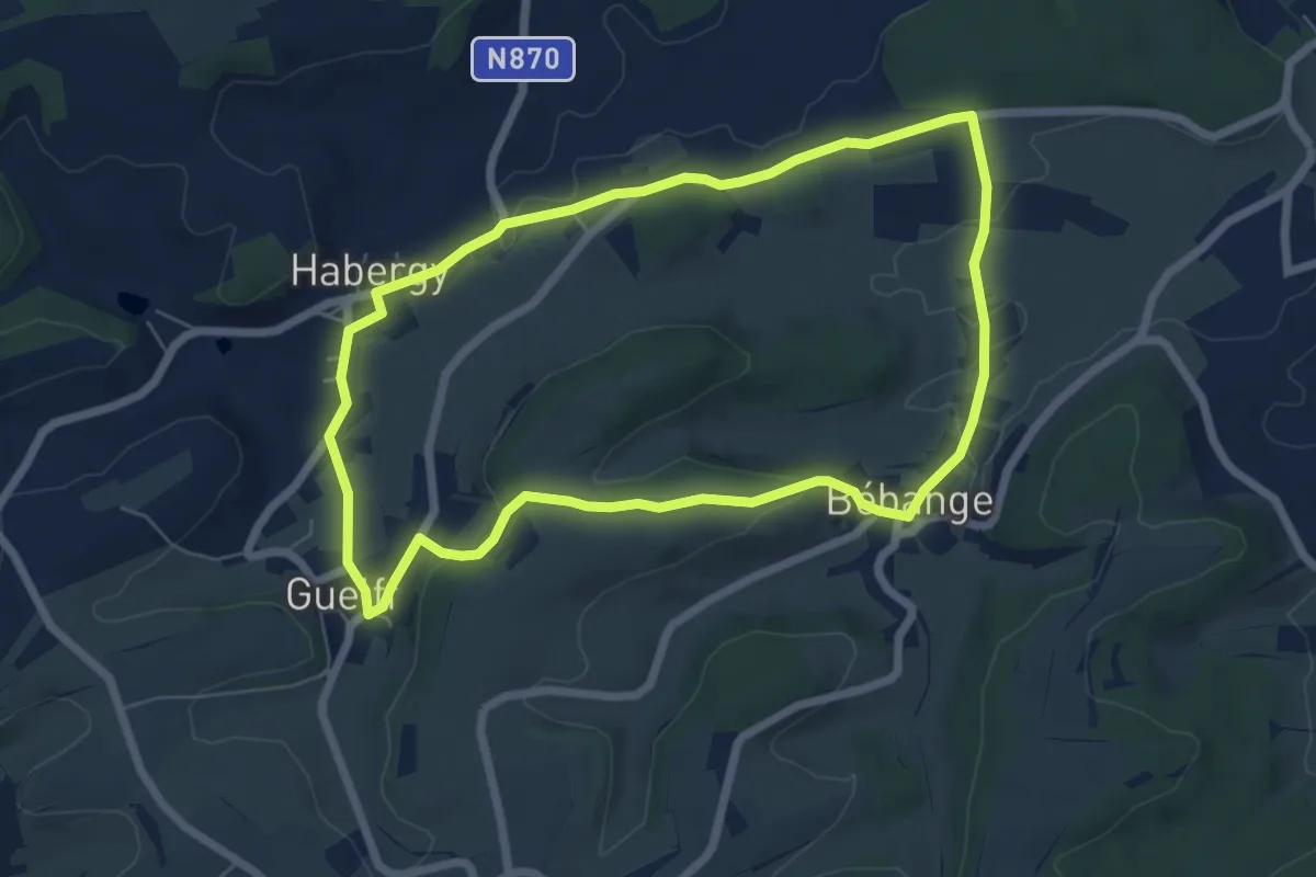
Easy · Trail
Promenade de Bébange
6.0 km · ↑ 85 m · 1 h 41 min
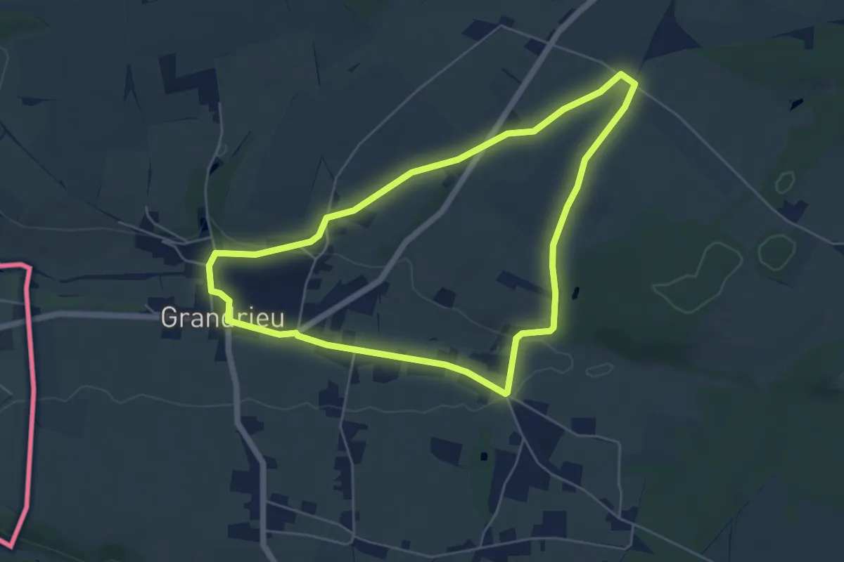
Easy · Trail
Promenade de Belle Vue
4.9 km · ↑ 45 m · 1 h 20 min
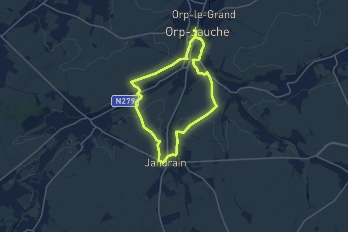
Medium · Trail
Promenade de Biamont
8.9 km · ↑ 63 m · 2 h 22 min
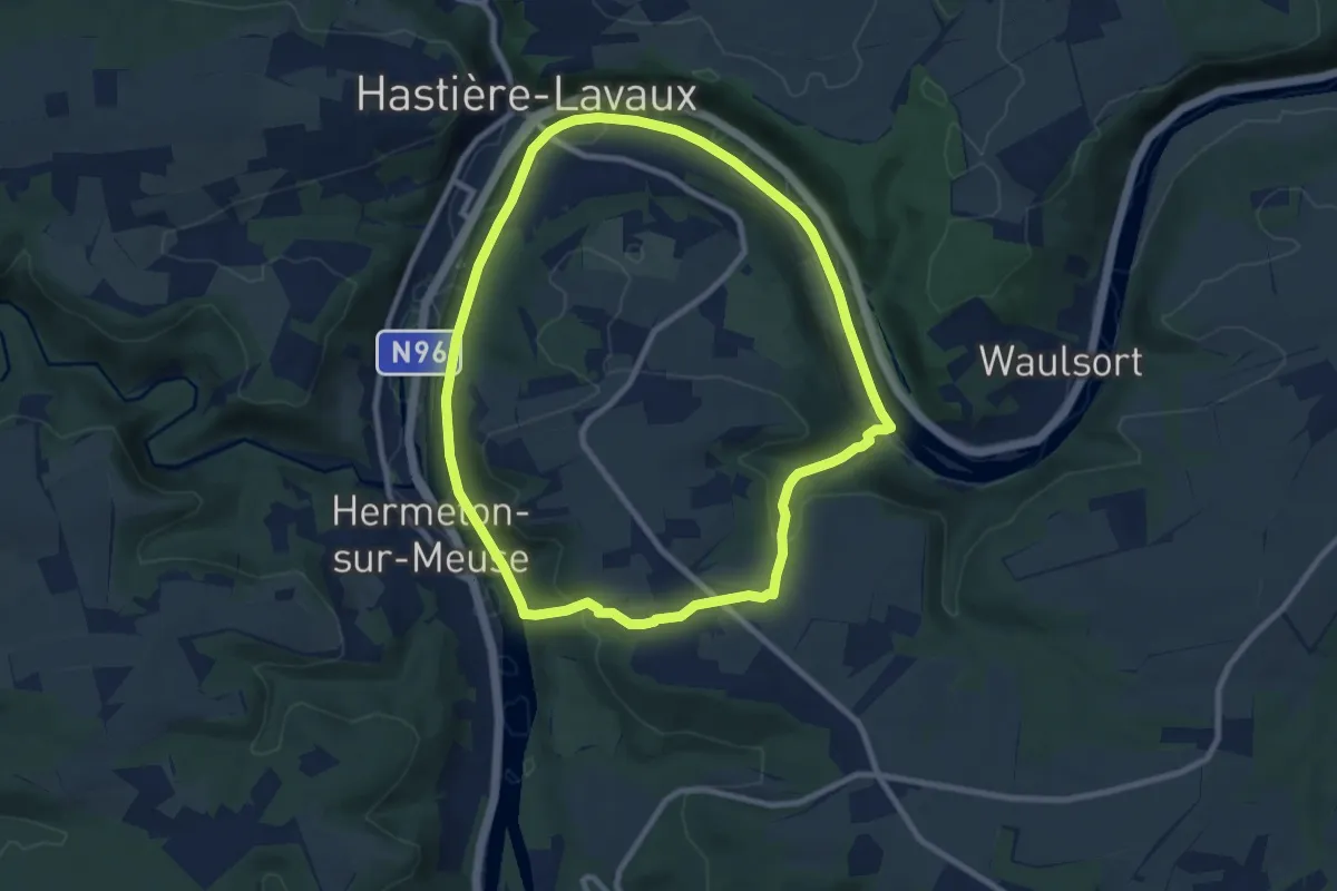
Medium · Trail
Promenade de Blaimont
8.0 km · ↑ 148 m · 2 h 20 min
Medium · Trail
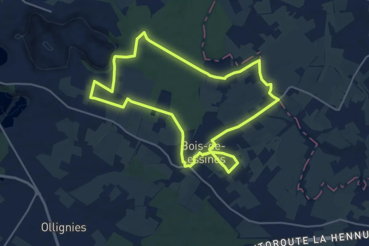
Promenade de Bois-de-Lessines
9.9 km · ↑ 101 m · 2 h 42 min
Medium · Trail
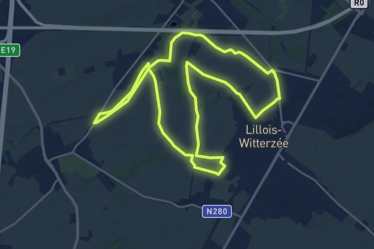
Promenade de Bois-Seigneur-Isaac
11.2 km · ↑ 74 m · 2 h 57 min
Medium · Trail
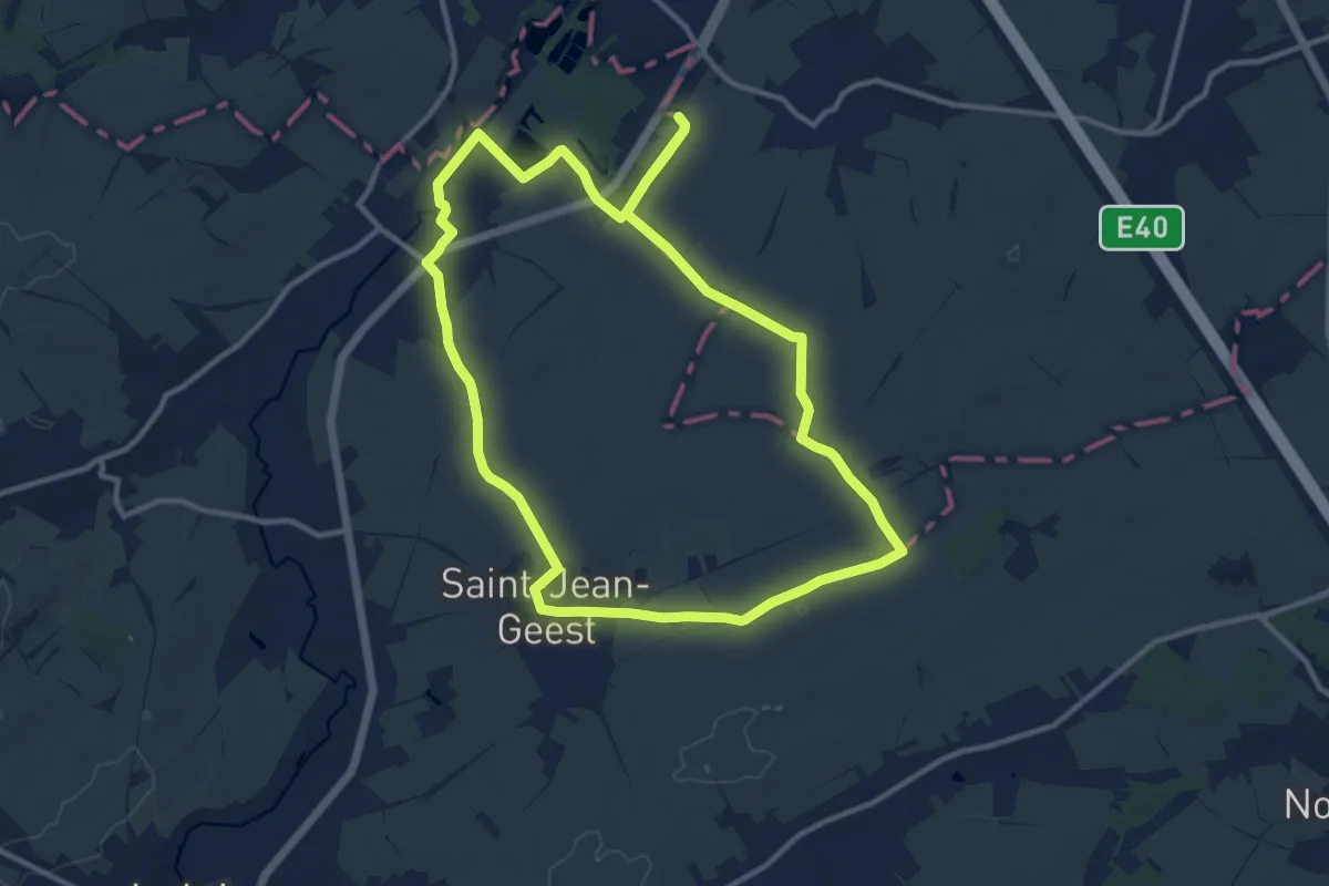
Promenade de Bon Secours
10.9 km · ↑ 48 m · 2 h 50 min
Easy · Trail
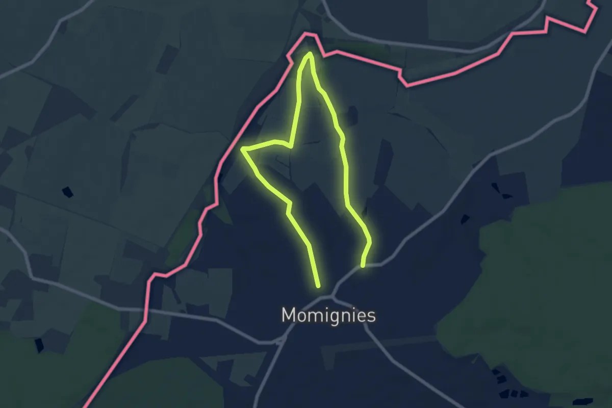
Promenade de Bourges
4.4 km · ↑ 41 m · 1 h 11 min
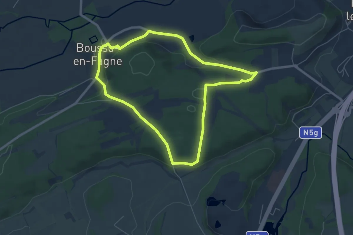
Easy · Trail
Promenade de Boussu
5.0 km · ↑ 114 m · 1 h 30 min
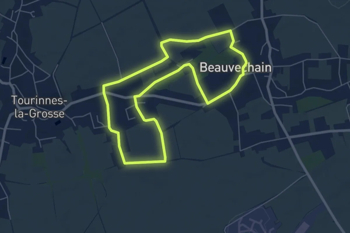
Easy · Trail
Promenade de Bôvètché
5.0 km · ↑ 31 m · 1 h 19 min
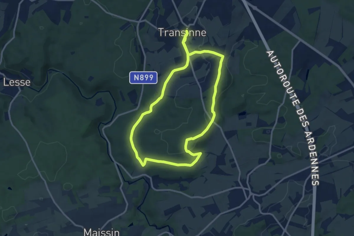
Medium · Trail
Promenade de Chamont
8.8 km · ↑ 169 m · 2 h 34 min
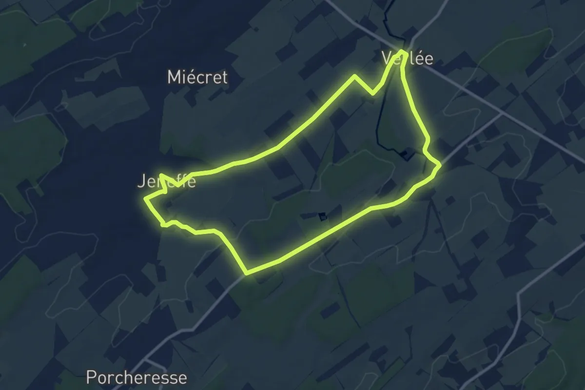
Medium · Trail
Promenade de Chantraine
8.5 km · ↑ 90 m · 2 h 20 min