Trails in Bosnia and Herzegovina
97 hiking trails, each with its route, climb, walking time and grade.
All trails, page 2 of 3
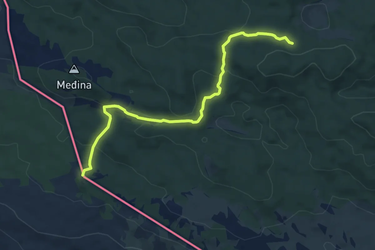
Medium · Cabin
Planinarska staza na Konj I
7.0 km · ↑ 236 m · 2 h 9 min
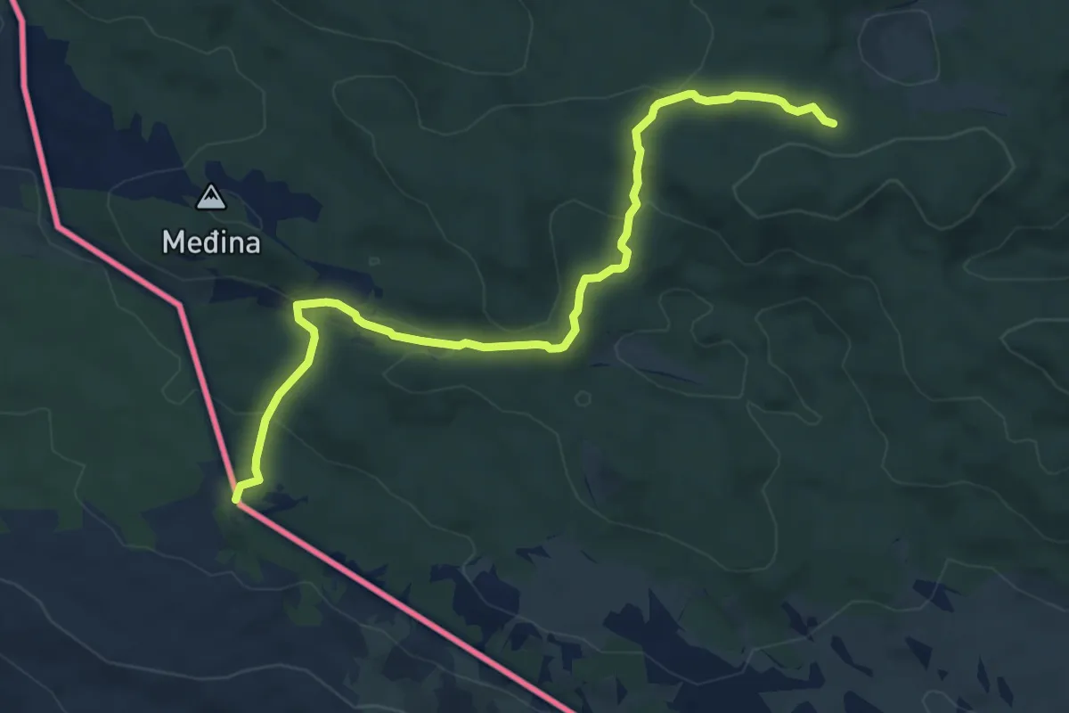
Medium · Cabin
Planinarska staza na Konj II
7.0 km · ↑ 236 m · 2 h 9 min
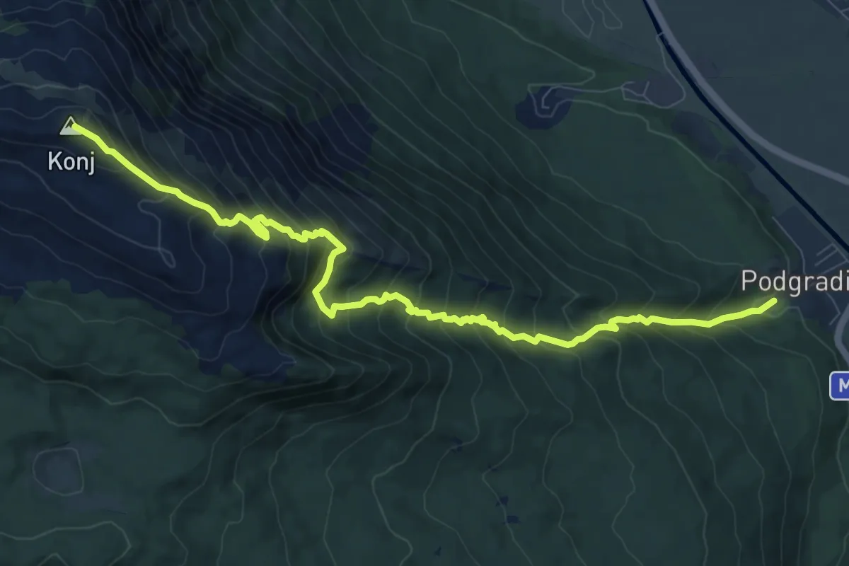
Demanding · Summit
Planinarska staza Podgradina-Konj
11.1 km · ↑ 1134 m · 5 h 4 min
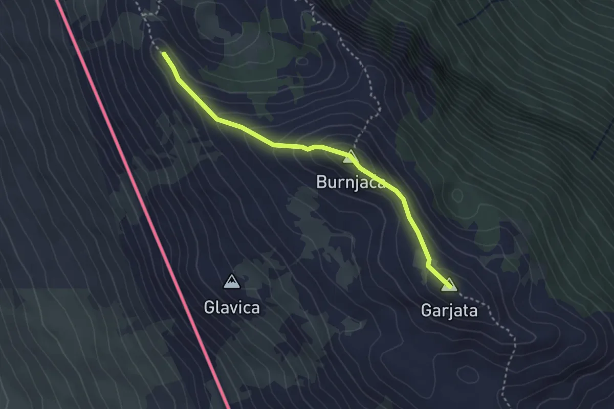
Demanding · Summit
Planinaska staza Kurtagić dolac-Burnjaća-Garjata
3.3 km · ↑ 222 m · 1 h 15 min
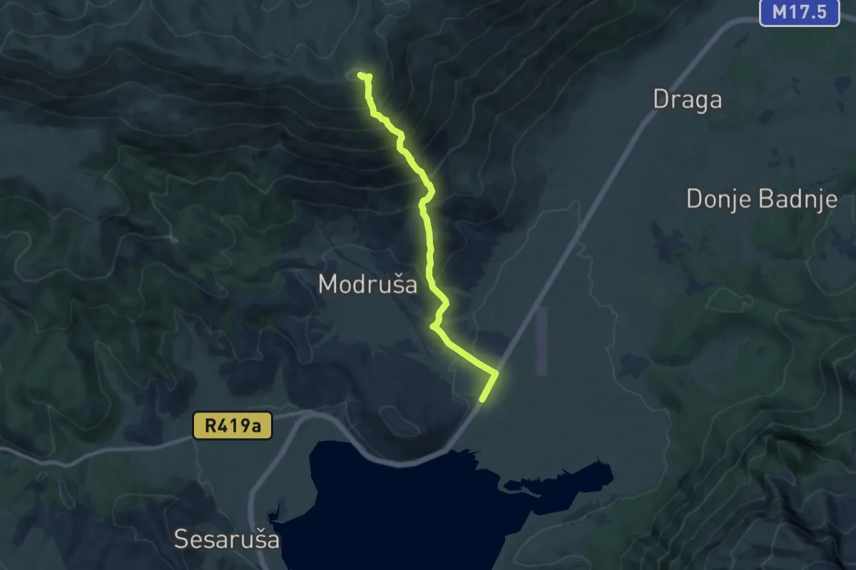
Demanding · Summit
Planina Vran i jezero Blidinje
8.7 km · ↑ 867 m · 3 h 56 min
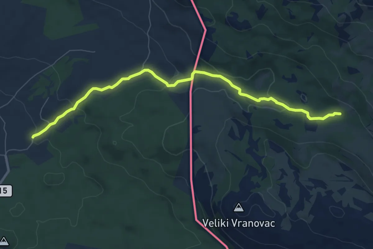
Medium · Cabin
Planinska staza do Mračne pećine
8.2 km · ↑ 190 m · 2 h 21 min
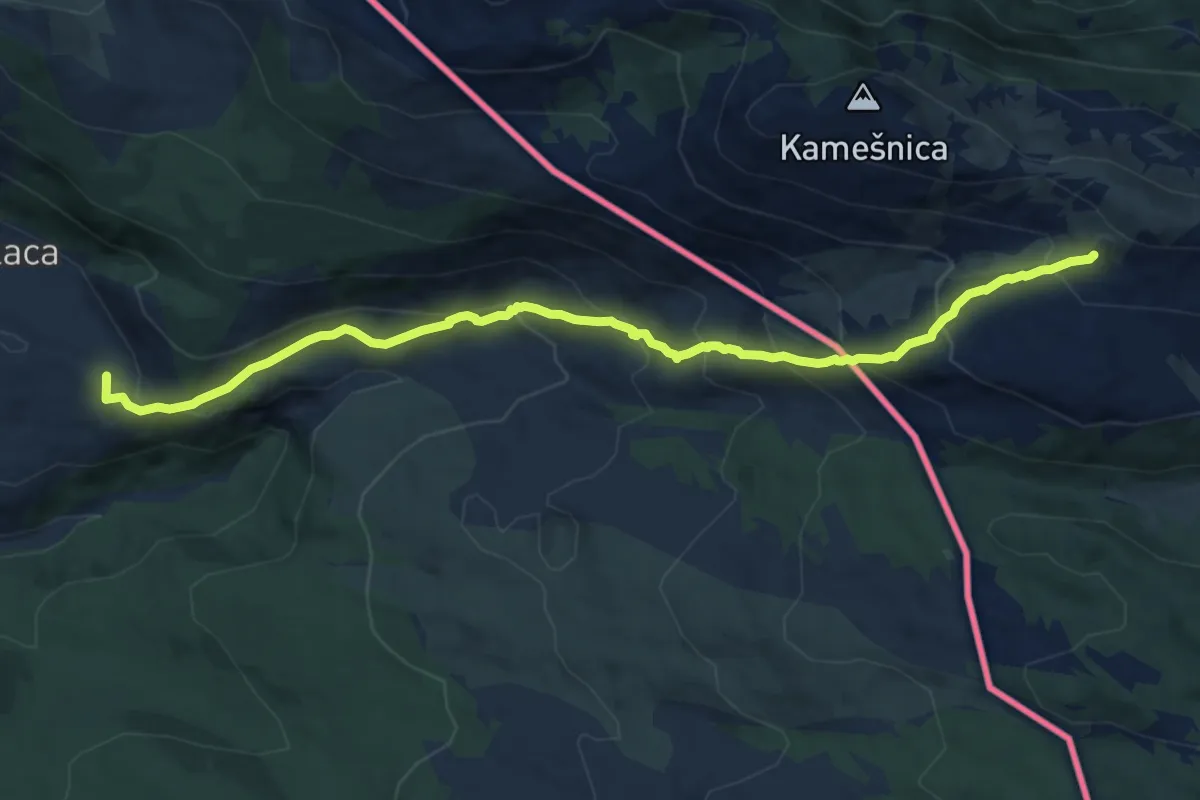
Demanding · Summit
Planinska staza Donja Korita - Žlabina - Gornja Korita - Pištet - razdolje - Kamešnica
12.1 km · ↑ 813 m · 4 h 37 min
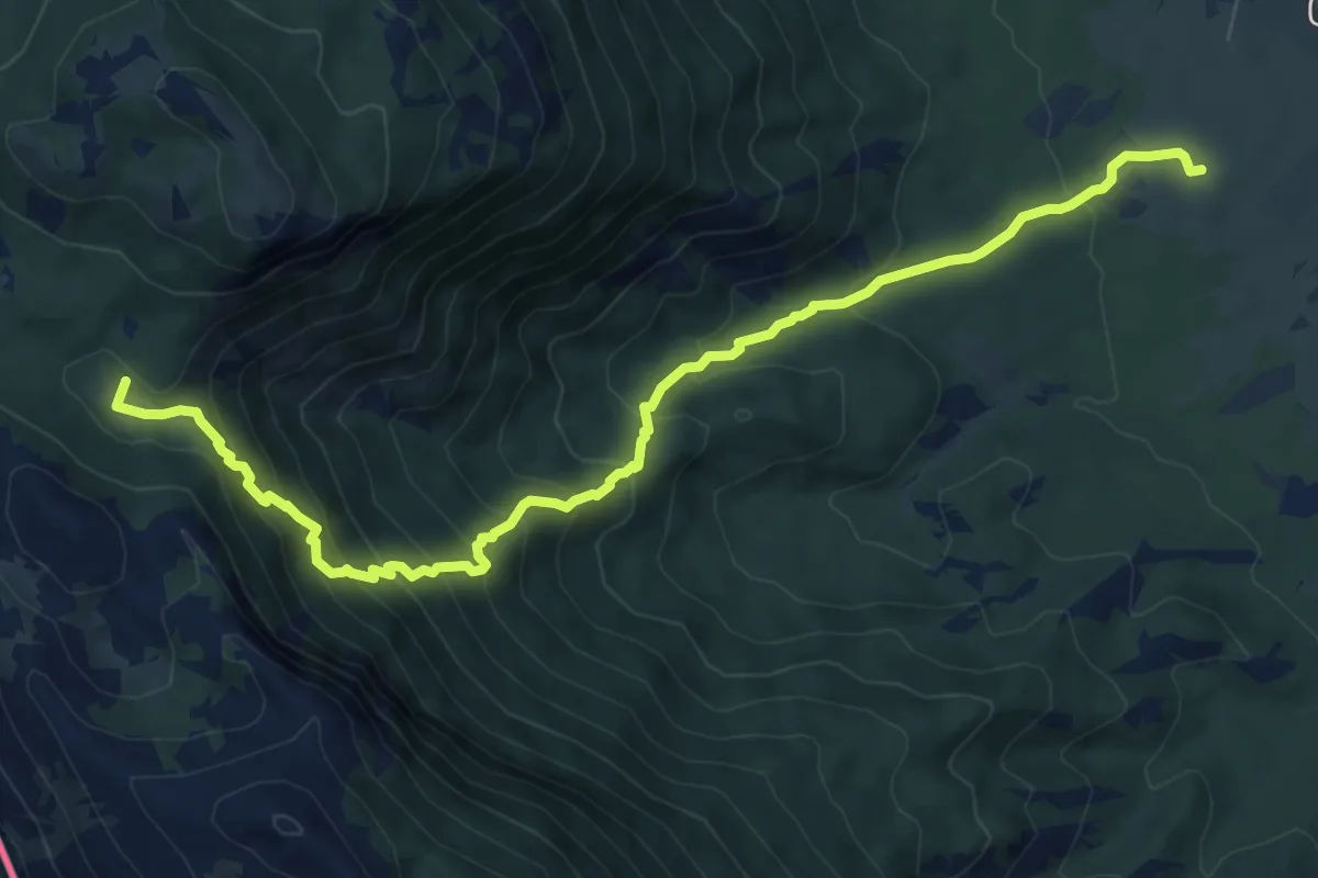
Medium · Cabin
planinska staza iz Tribića do Kurtagića dolca
9.6 km · ↑ 722 m · 3 h 51 min
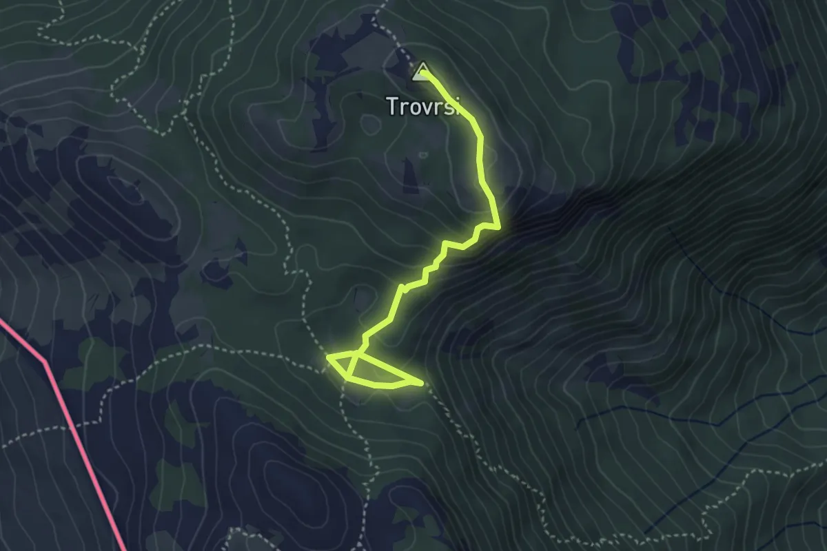
Medium · Summit
Planinska staza Kurtagić dolac-Trovrsi
4.1 km · ↑ 215 m · 1 h 26 min
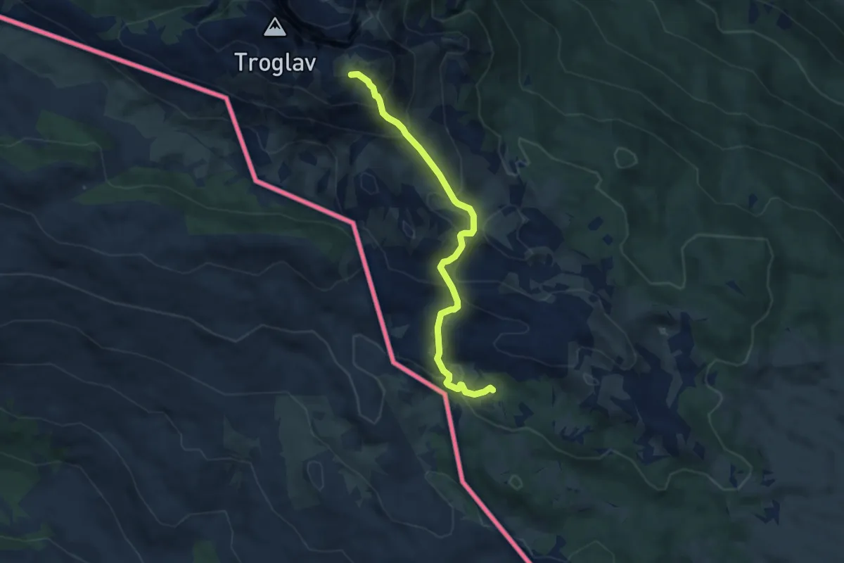
Demanding · Trail
planinska staza na Troglav
7.0 km · ↑ 533 m · 2 h 49 min
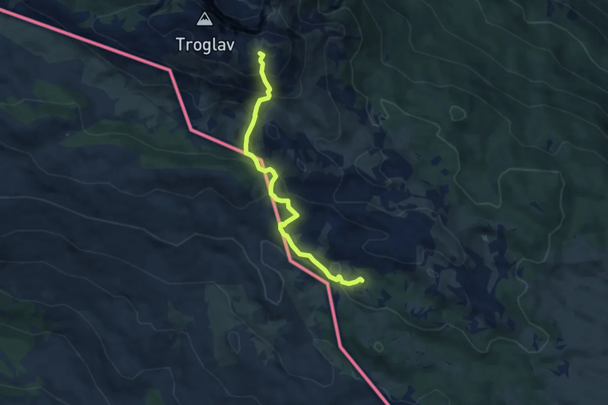
Demanding · Trail
planinska staza na Troglav - dijelom kolskim putem
7.4 km · ↑ 509 m · 2 h 51 min
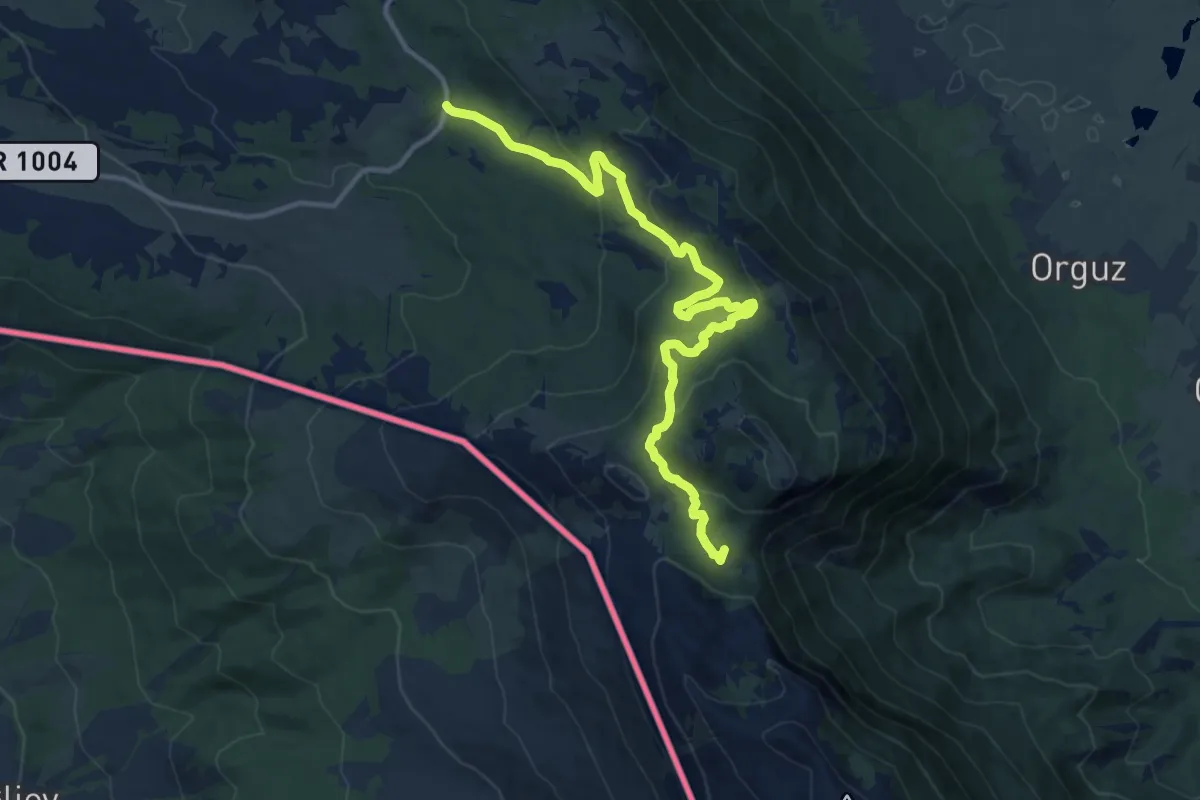
Medium · Cabin
Planinska staza od prijevoja Vaganj - Gola kosa - planinarsko sklonište u Kurtagića dolcu
14.4 km · ↑ 536 m · 4 h 33 min
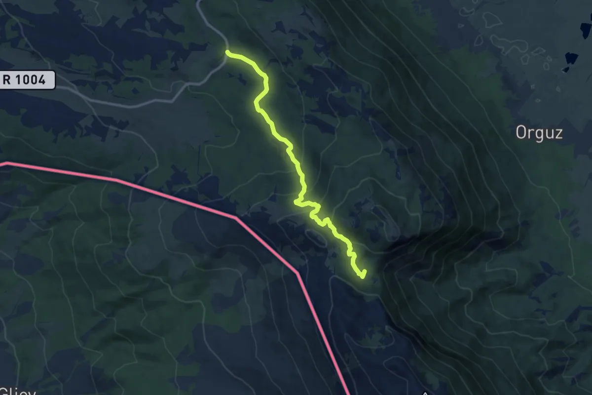
Medium · Cabin
Planinska staza od Vagnja-Rosni dolac-Kurtagić dolac
10.4 km · ↑ 497 m · 3 h 32 min
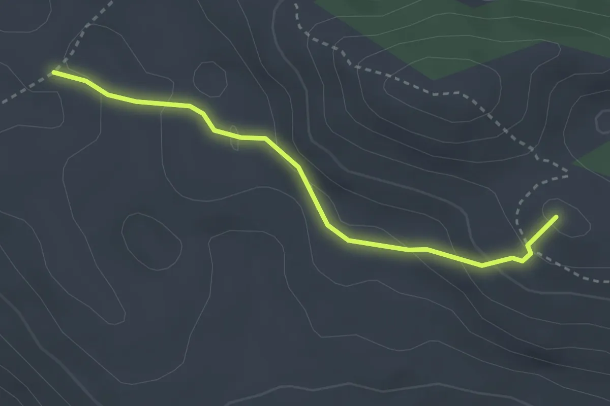
Easy · Summit
PL. dom Puma
3.0 km · ↑ 117 m · 57 min
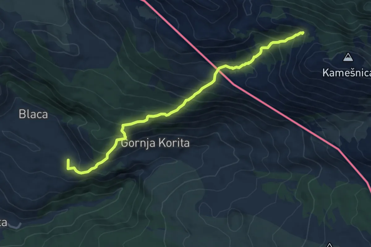
Medium · Summit
pl,staza Donja Korita-Žlabina-Bunarić-Kamešnica
9.3 km · ↑ 716 m · 3 h 45 min
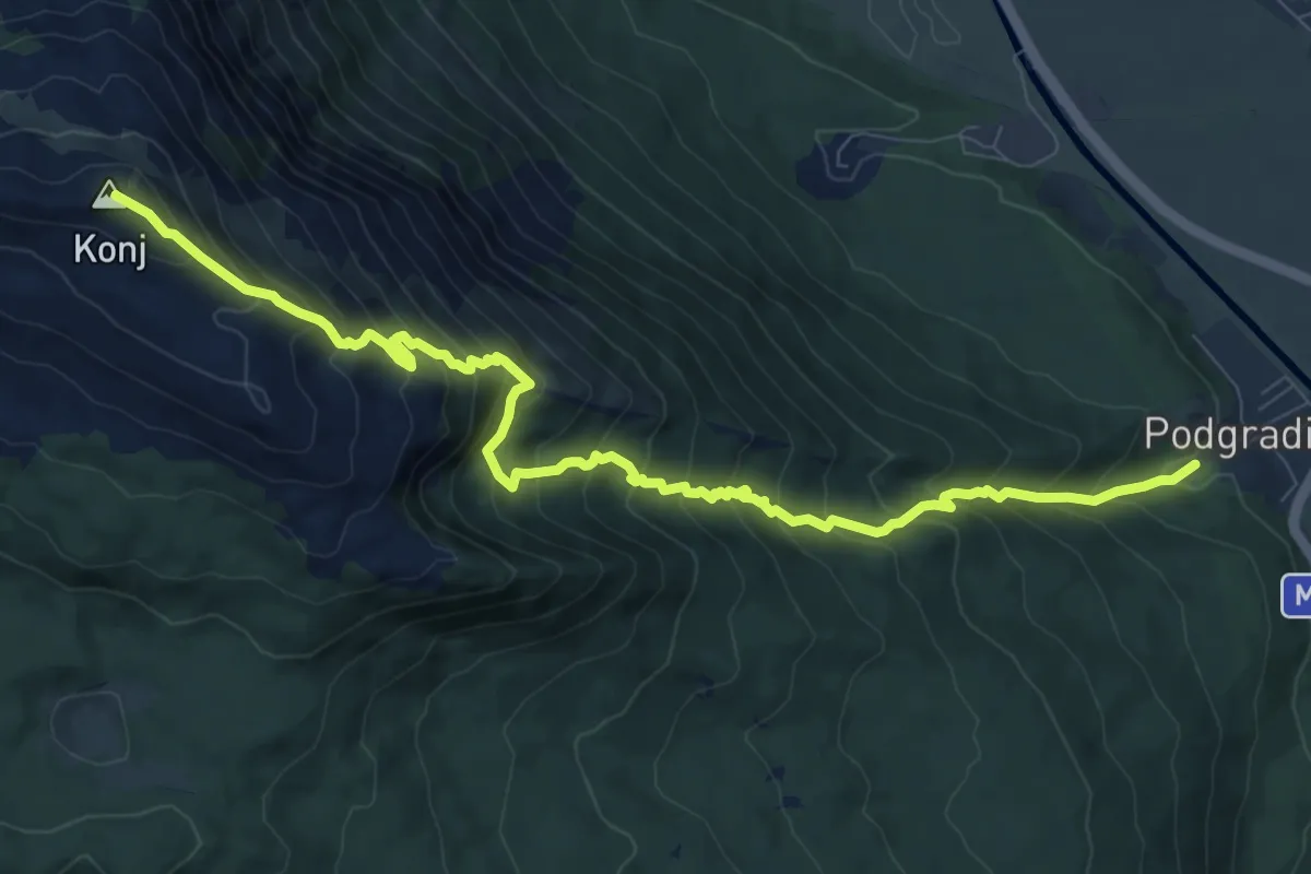
Demanding · Summit
Podgradina-Konj
11.1 km · ↑ 1134 m · 5 h 4 min
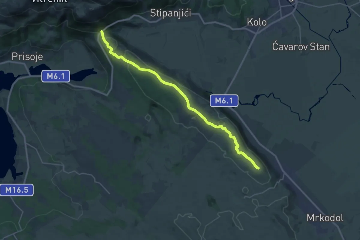
Demanding · Summit
Preko Grabovičke planine do Bukovice i Duvanjskog polja
21.6 km · ↑ 280 m · 5 h 43 min
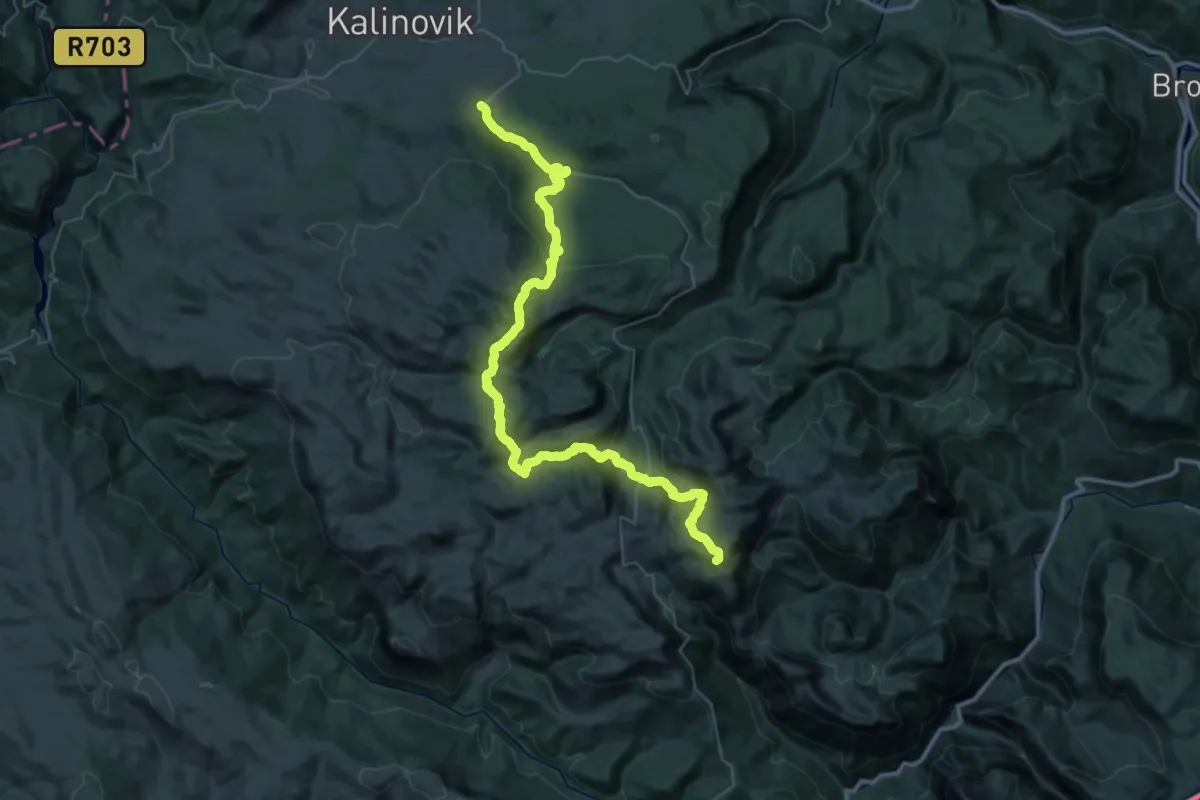
Demanding · Summit
Preko planina Lelije i Zelengore do Nacionalnog parka Sutjeska
53.5 km · ↑ 2285 m · 17 h 35 min
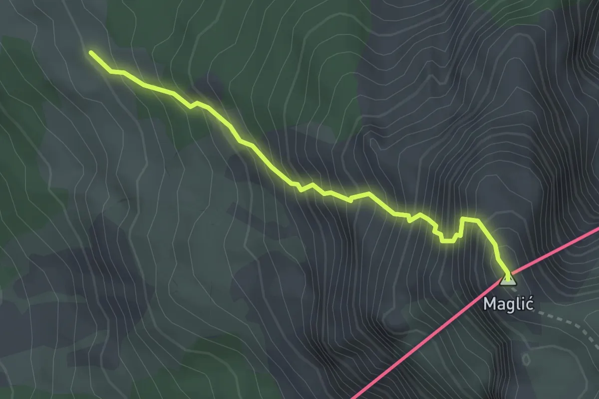
Expert · Summit
Prijevor-Maglić
3.1 km · ↑ 653 m · 2 h 8 min
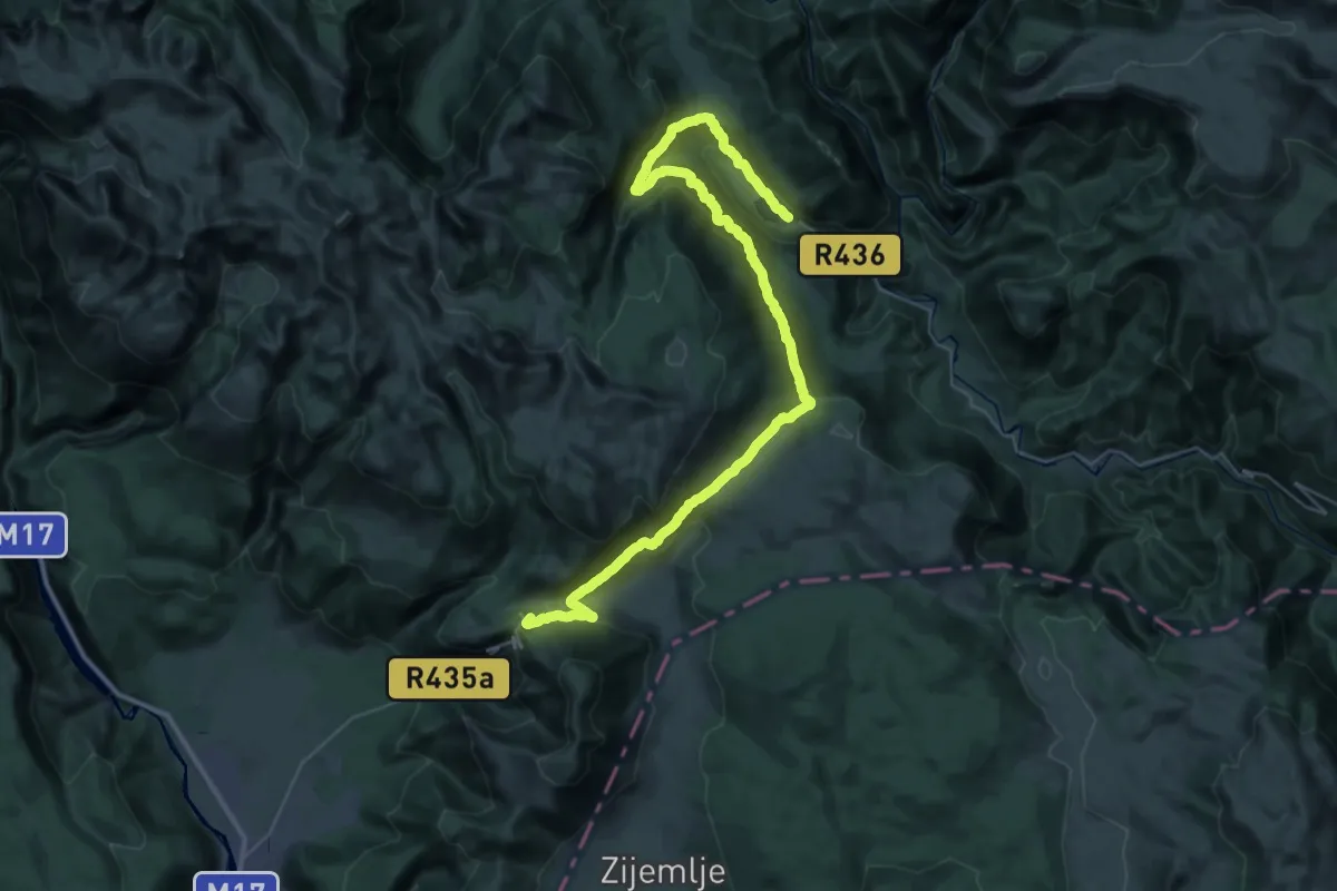
Demanding · Cabin
Ruište i Boračko jezero
24.6 km · ↑ 1342 m · 8 h 44 min
Medium · Summit
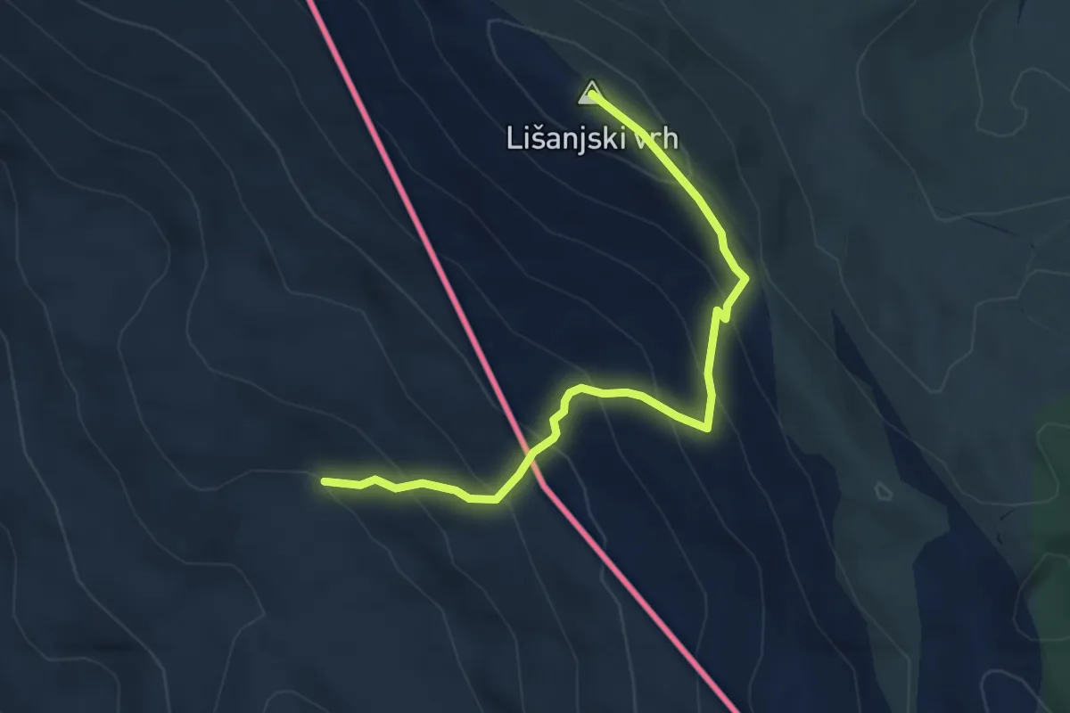
Rupe-Lišanjski vrh
4.8 km · ↑ 419 m · 2 h 2 min
Medium · Summit
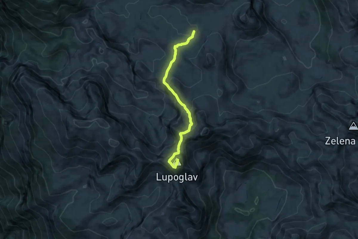
Rupe - Lupoglav
8.0 km · ↑ 583 m · 3 h 9 min
Expert · Trail
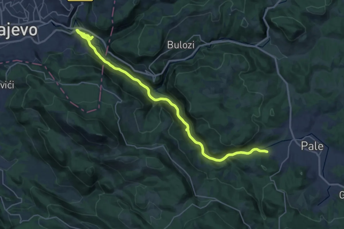
Sarajevo – Pale
23.1 km · ↑ 983 m · 7 h 35 min
Medium · Summit
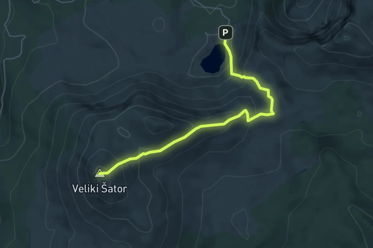
Šator
5.3 km · ↑ 466 m · 2 h 16 min
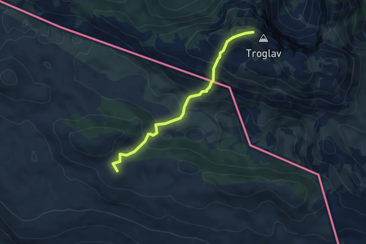
Medium · Summit
sklonište "Pume"-Troglav
5.0 km · ↑ 420 m · 2 h 5 min
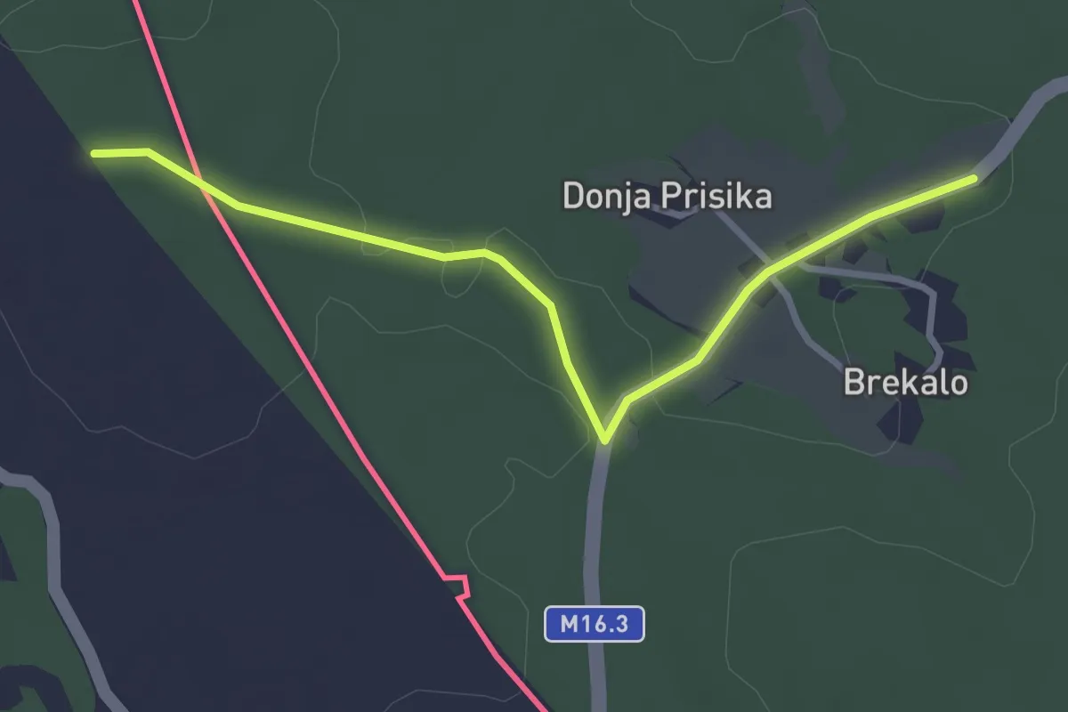
Easy · Trail
Staza Gospi Sinjskoj
3.2 km · ↑ 39 m · 50 min
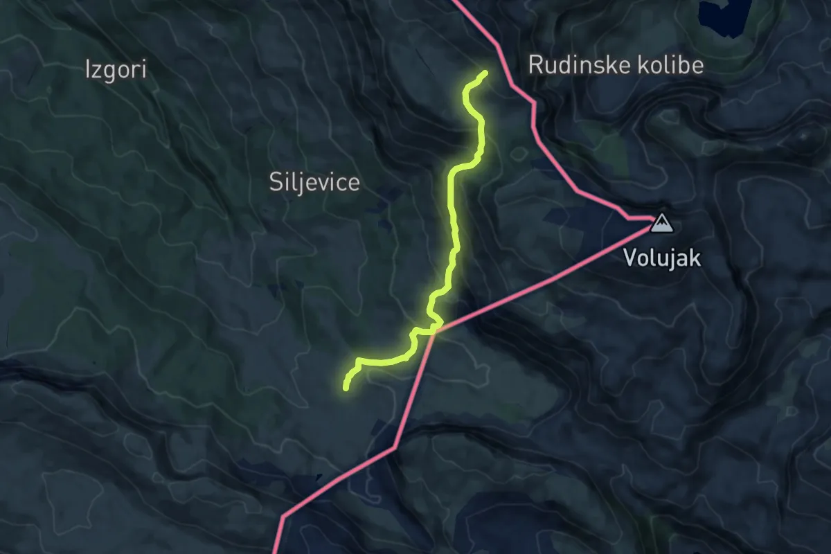
Medium · Trail
Studenac - Poljana - Papin Do
9.5 km · ↑ 714 m · 3 h 47 min
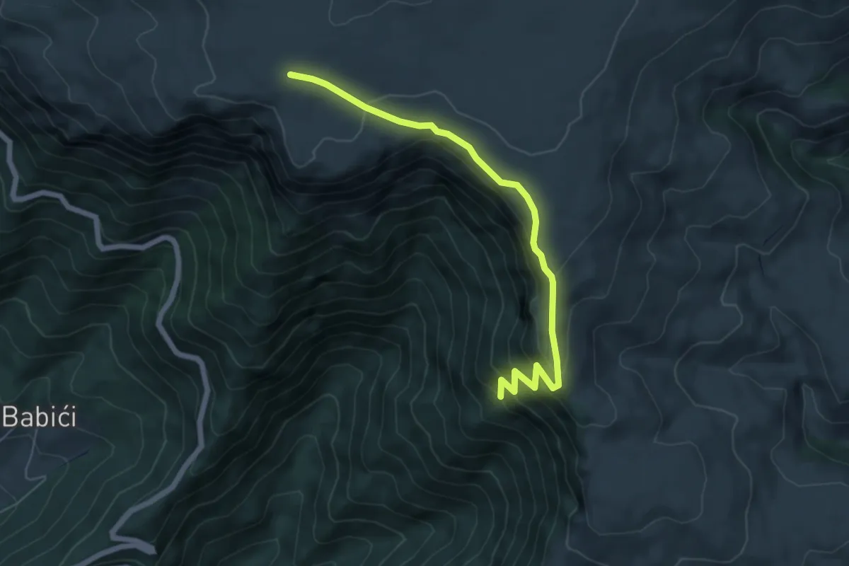
Medium · Trail
Travnik - Devečani
6.1 km · ↑ 339 m · 2 h 11 min
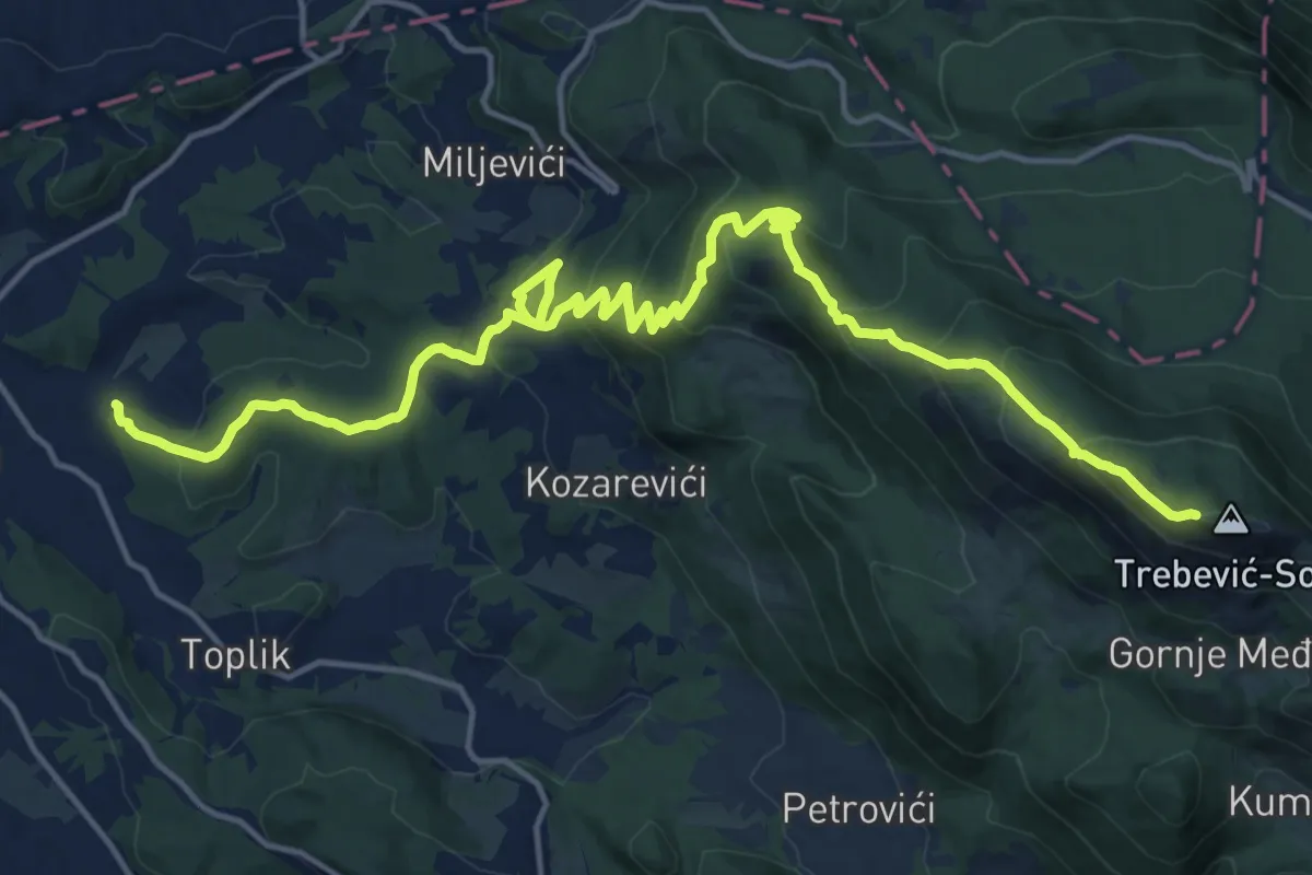
Demanding · Trail
Trebevic Hiking trail
21.2 km · ↑ 1265 m · 7 h 45 min
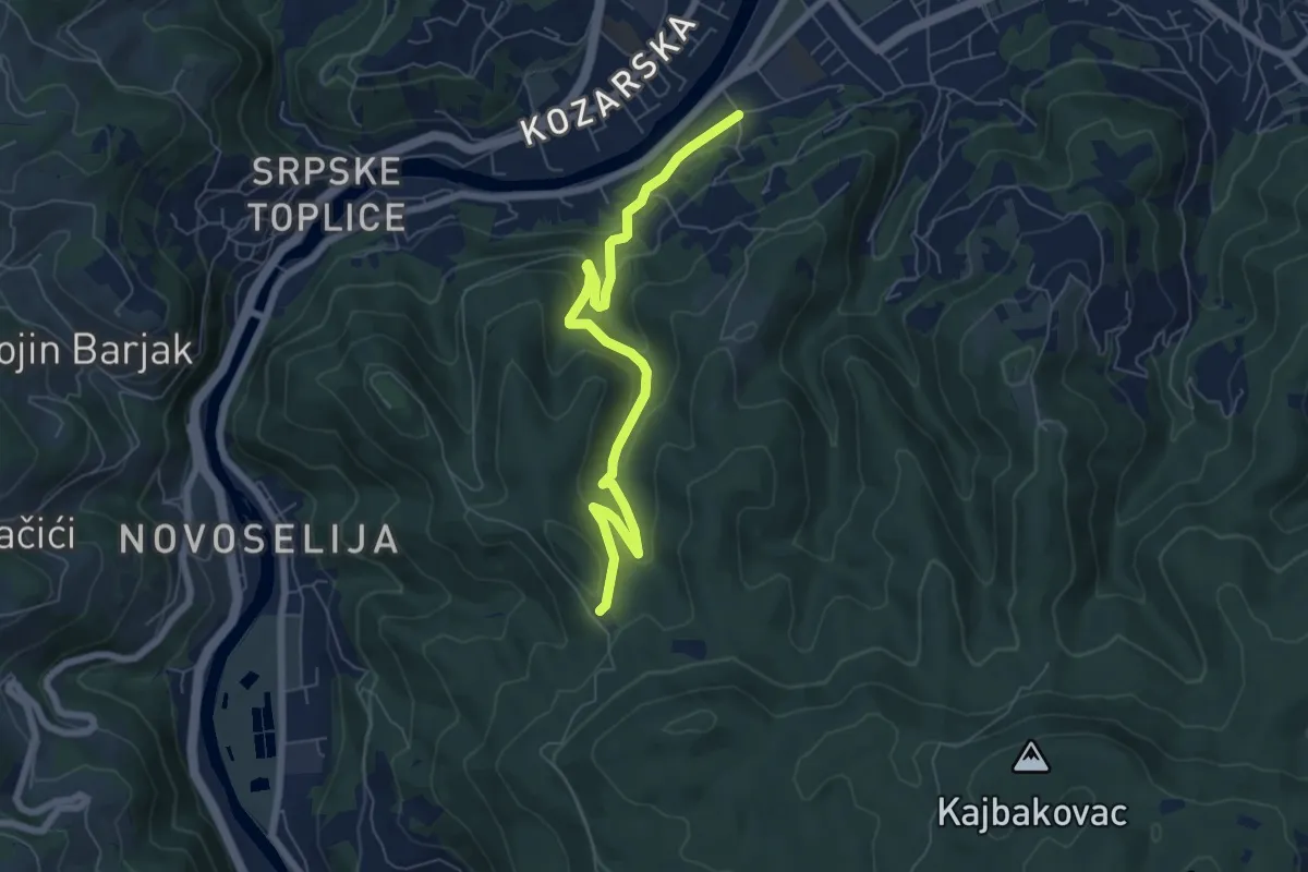
Medium · Trail
Trešnjička ruta
7.1 km · ↑ 368 m · 2 h 28 min
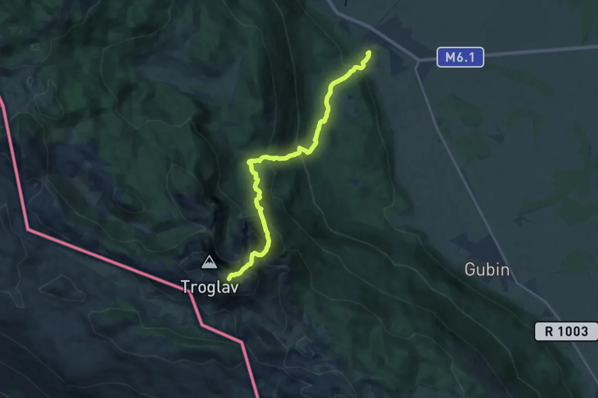
Demanding · Trail
Troglav iz Sajkovića
13.3 km · ↑ 1143 m · 5 h 37 min
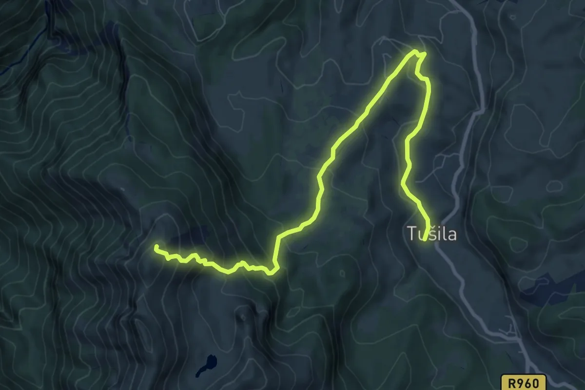
Medium · Summit
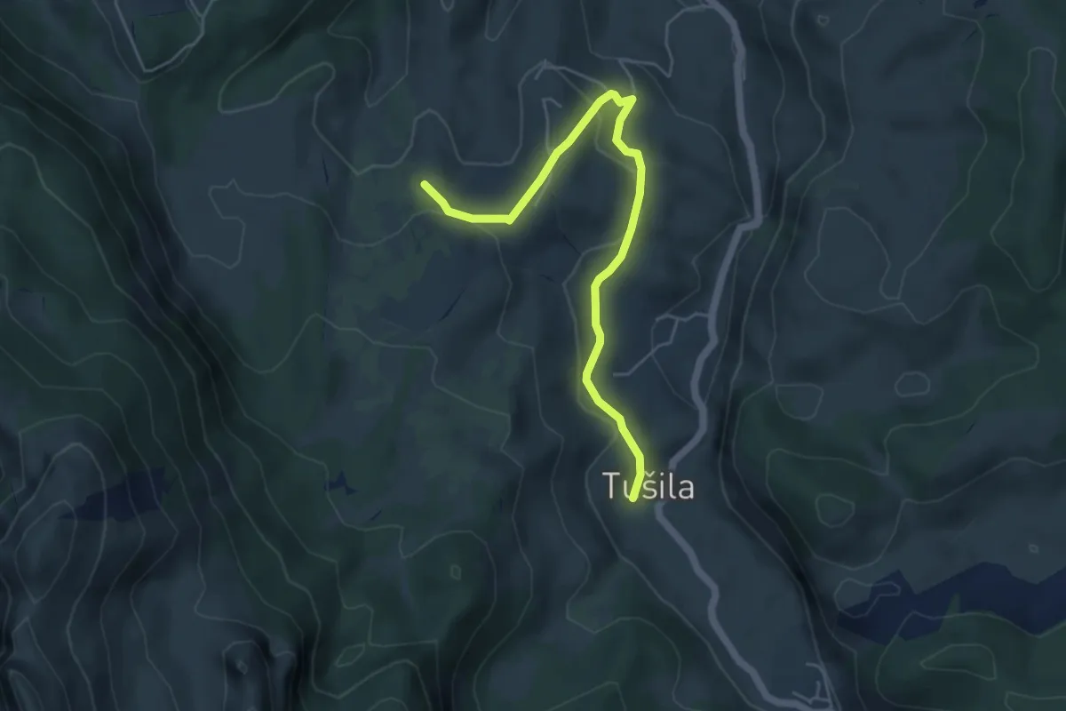
Tušila-Drstva
10.4 km · ↑ 664 m · 3 h 53 min
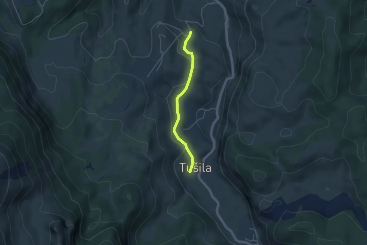
Easy · Trail
Tušila-Prut
5.5 km · ↑ 158 m · 1 h 38 min
Easy · Trail
Tušila-Šabići
3.4 km · ↑ 69 m · 57 min
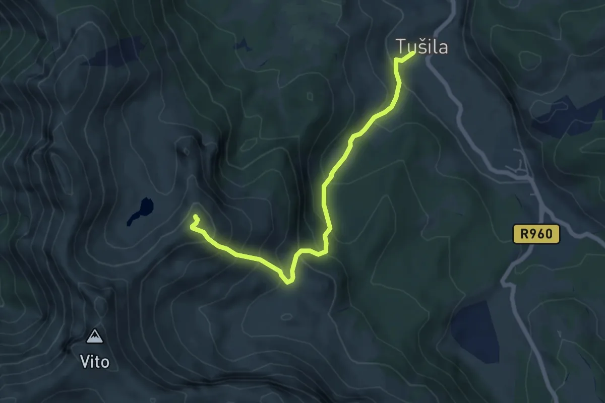
Medium · Summit
Tušila-Subar
5.5 km · ↑ 558 m · 2 h 31 min
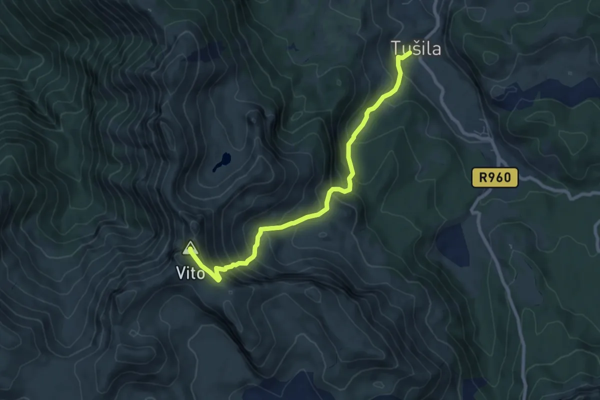
Medium · Summit
Tušila-Vito
7.5 km · ↑ 690 m · 3 h 16 min
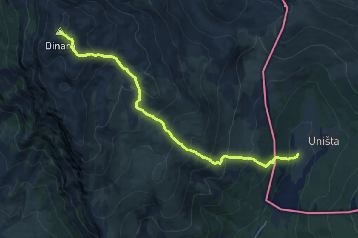
Demanding · Summit
Uništa-Dinara
14.0 km · ↑ 1127 m · 5 h 45 min
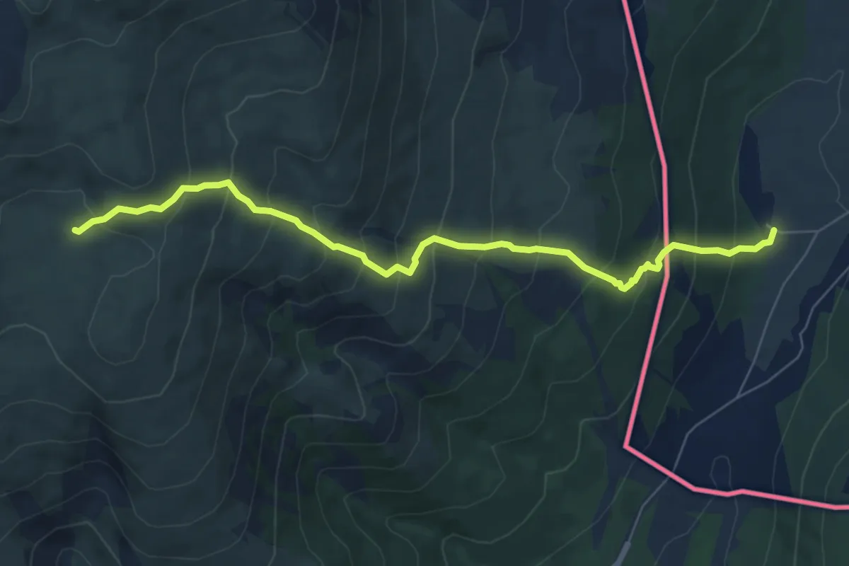
Medium · Cabin
Uništa-Martinove košare
7.4 km · ↑ 688 m · 3 h 15 min
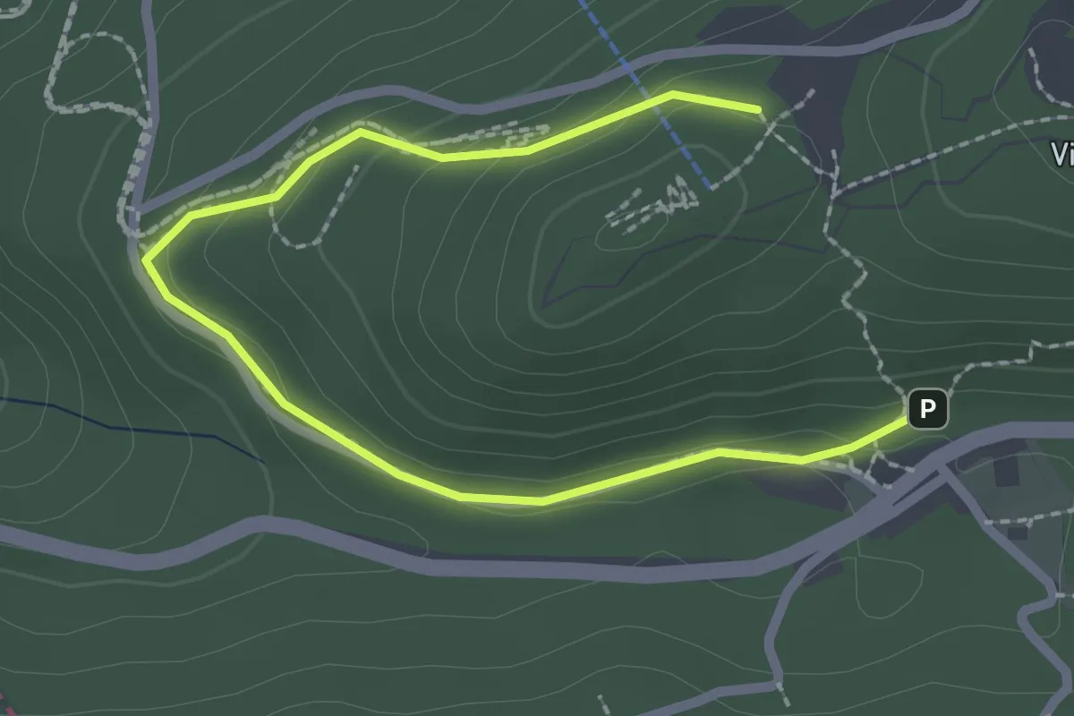
Easy · Summit
Vidikovac - Ravne / Prvi šumar - Pitine stijene
1.5 km · ↑ 78 m · 31 min
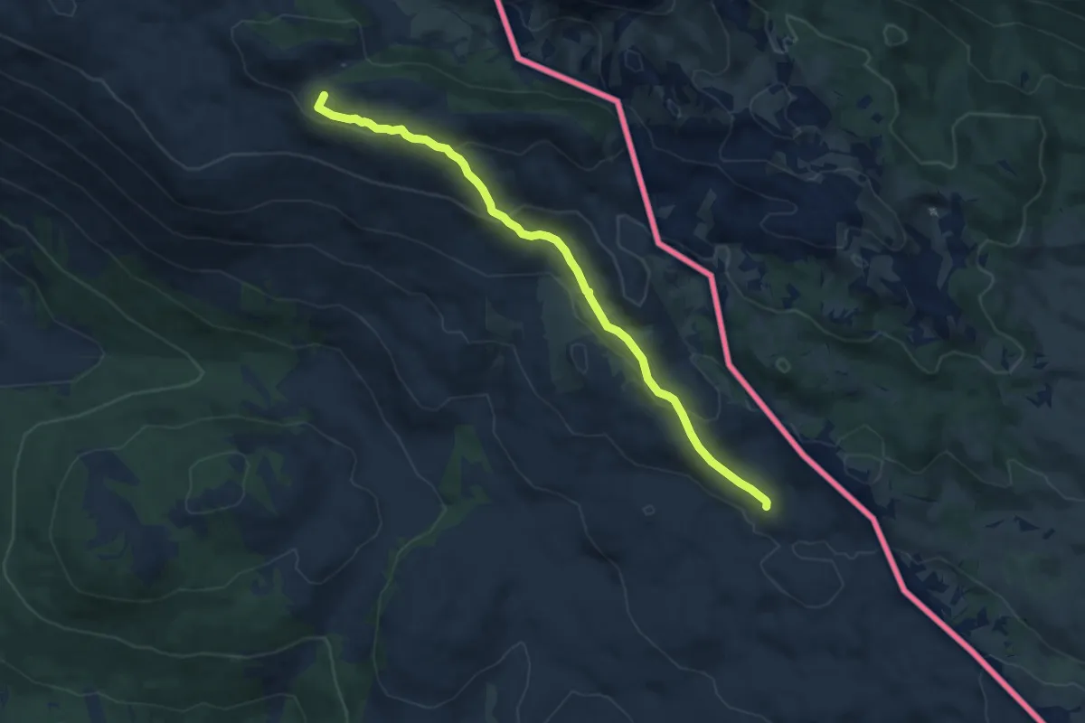
Medium · Summit
Vjetar sa Dinare-Pume
9.8 km · ↑ 334 m · 3 h 2 min
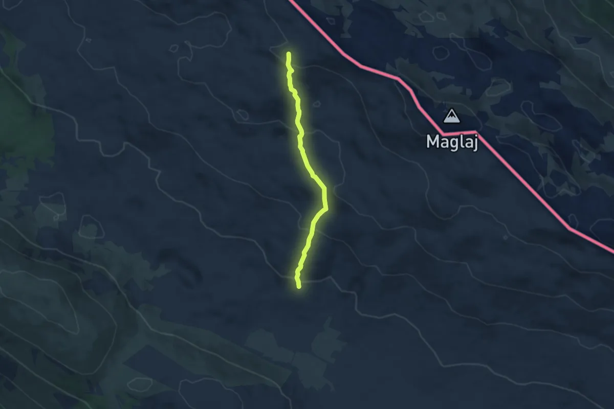
Medium · Cabin
Vrdovo - planinarsko sklonište PU Dinarida
6.9 km · ↑ 325 m · 2 h 20 min
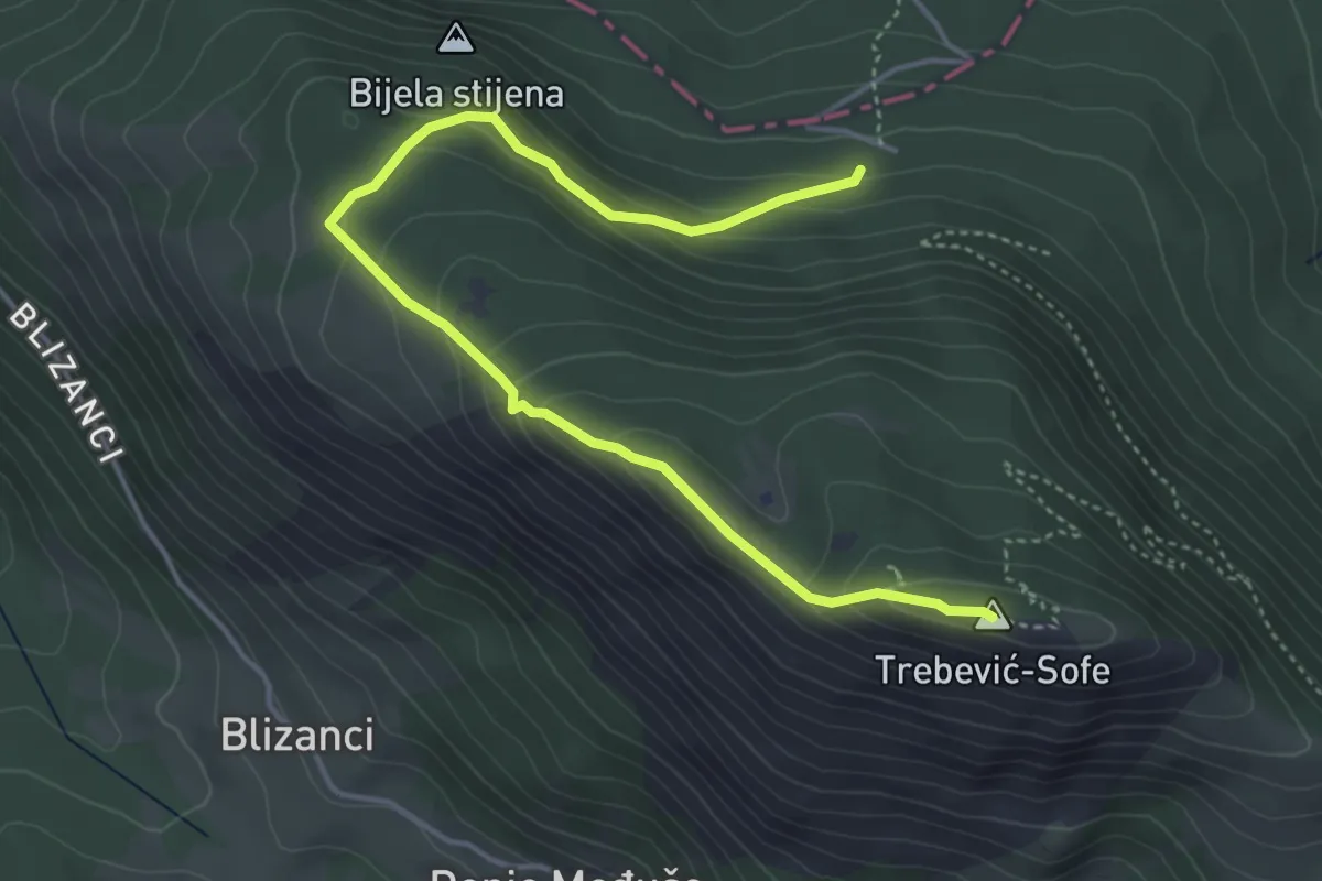
Medium · Summit
Vrh Trebevića preko grebena
5.3 km · ↑ 360 m · 2 h 2 min
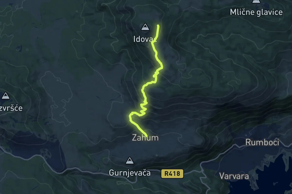
Medium · Trail
Zahum Idovac
12.5 km · ↑ 667 m · 4 h 24 min
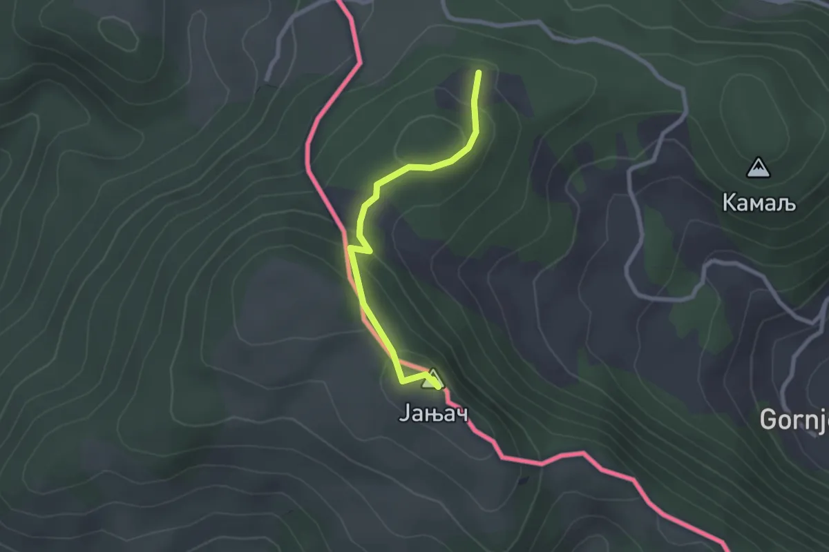
Easy · Summit
Дикава - Јањач
2.3 km · ↑ 126 m · 49 min
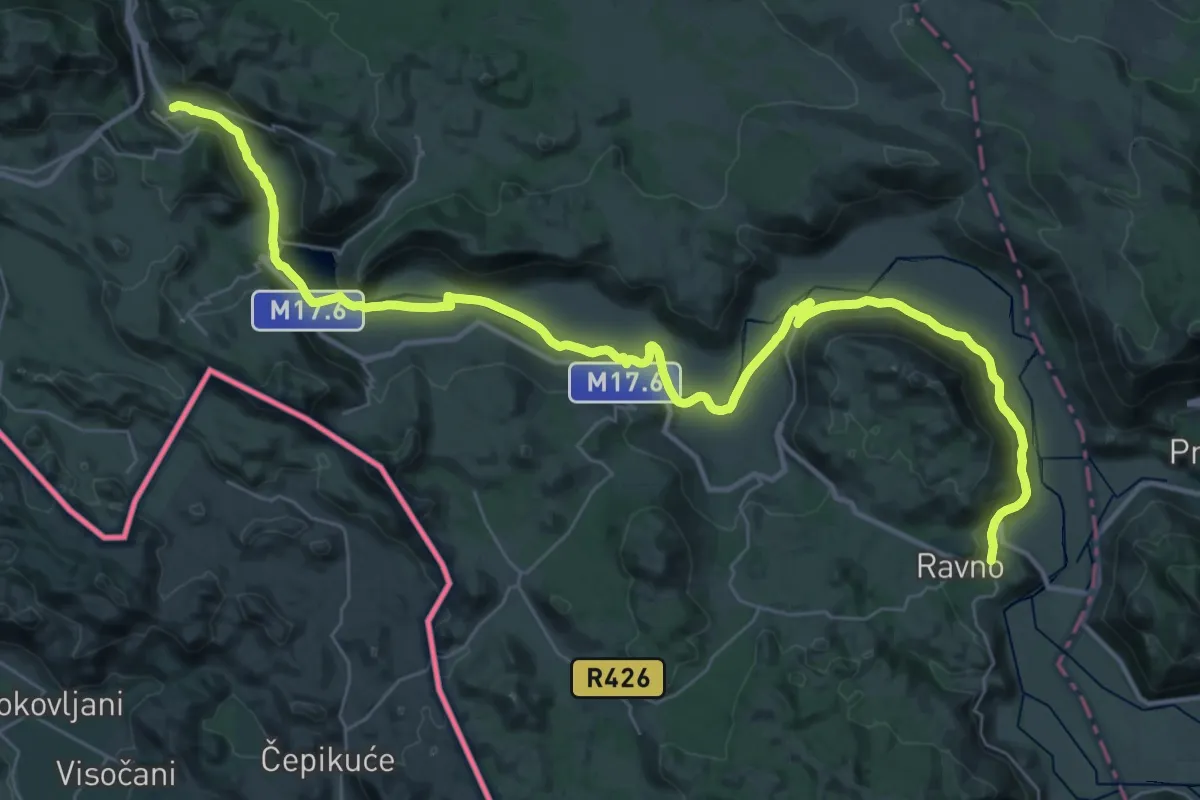
Demanding · Pilgrim path
5. Ravno – Hutovo
23.7 km · ↑ 276 m · 6 h 32 min
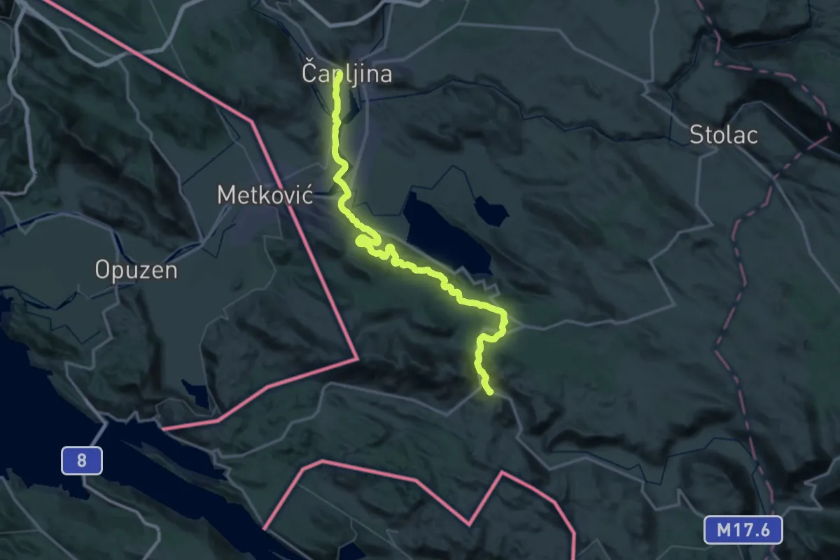
Demanding · Pilgrim path
6. Hutovo – Čapljina
30.0 km · ↑ 408 m · 8 h 31 min
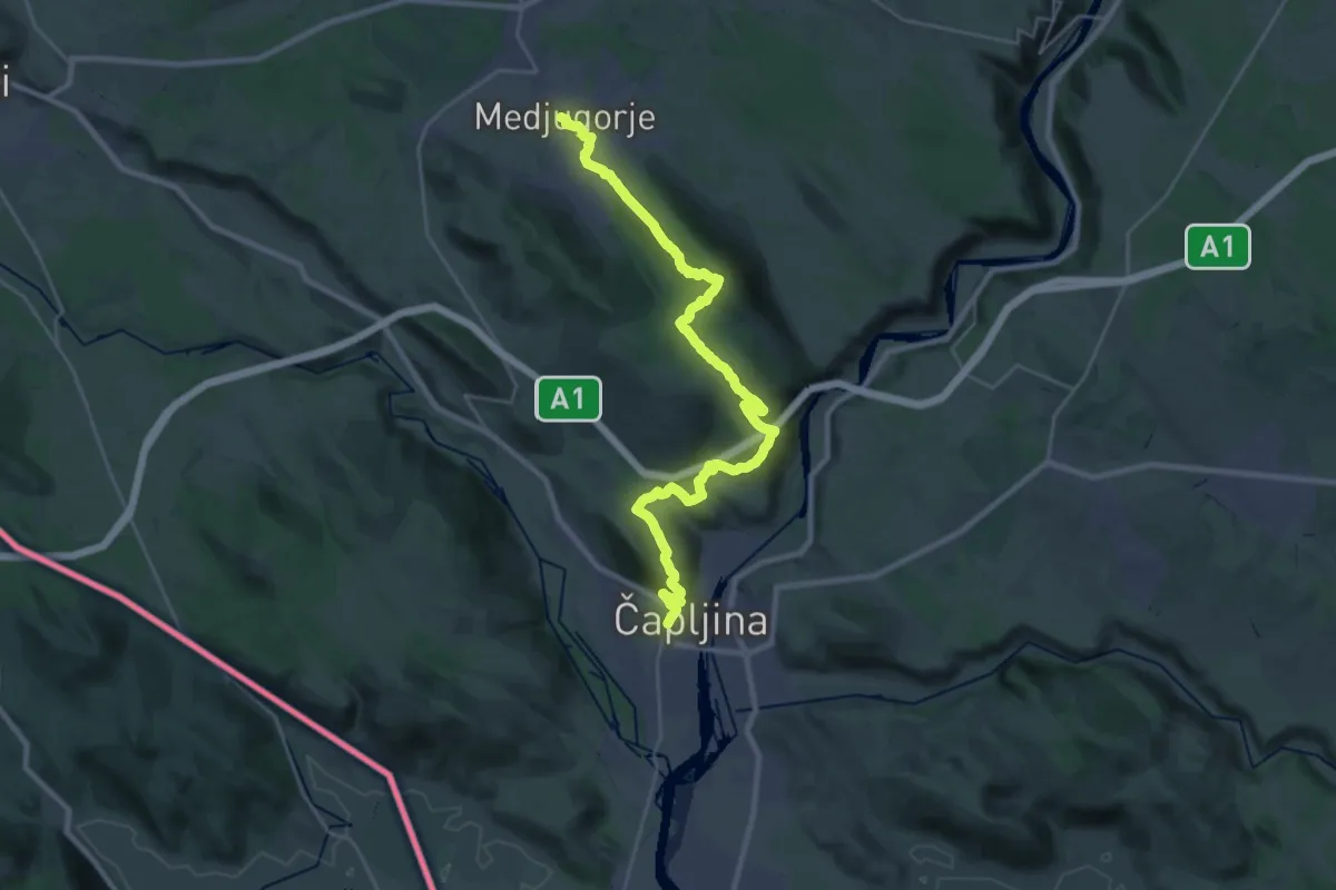
Medium · Pilgrim path
7. Čapljina – Međugorje
15.6 km · ↑ 486 m · 5 h 2 min
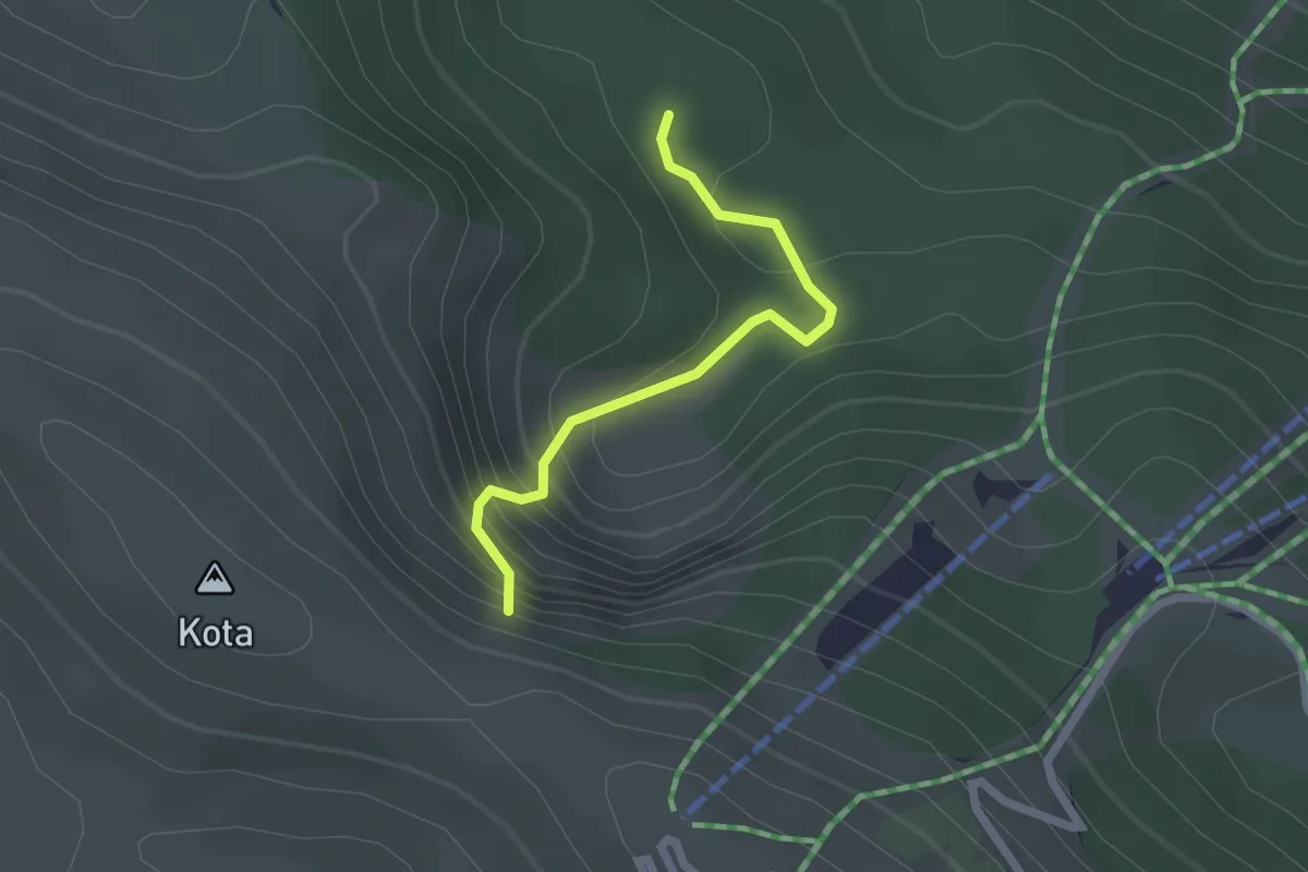
Easy · Trail
Bozja-Kunath kuća – Kotlovi
2.0 km · ↑ 227 m · 58 min