Trails in Brazil
56 hiking trails, each with its route, climb, walking time and grade.
Near a town
All trails, page 1 of 2
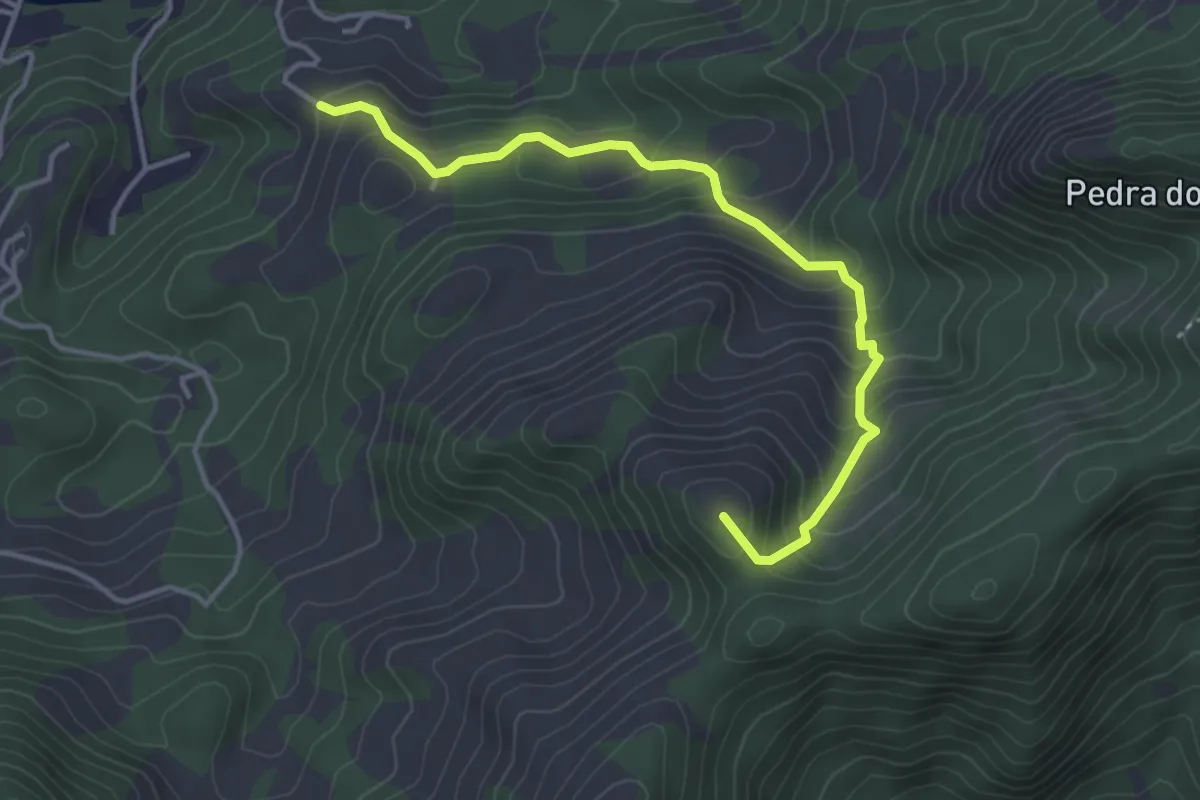
Medium · Summit
Acesso a Trilha Transcarioca
5.4 km · ↑ 422 m · 2 h 11 min
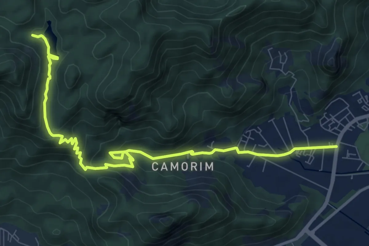
Medium · Trail
Acesso a Trilha Transcarioca
13.2 km · ↑ 574 m · 4 h 21 min
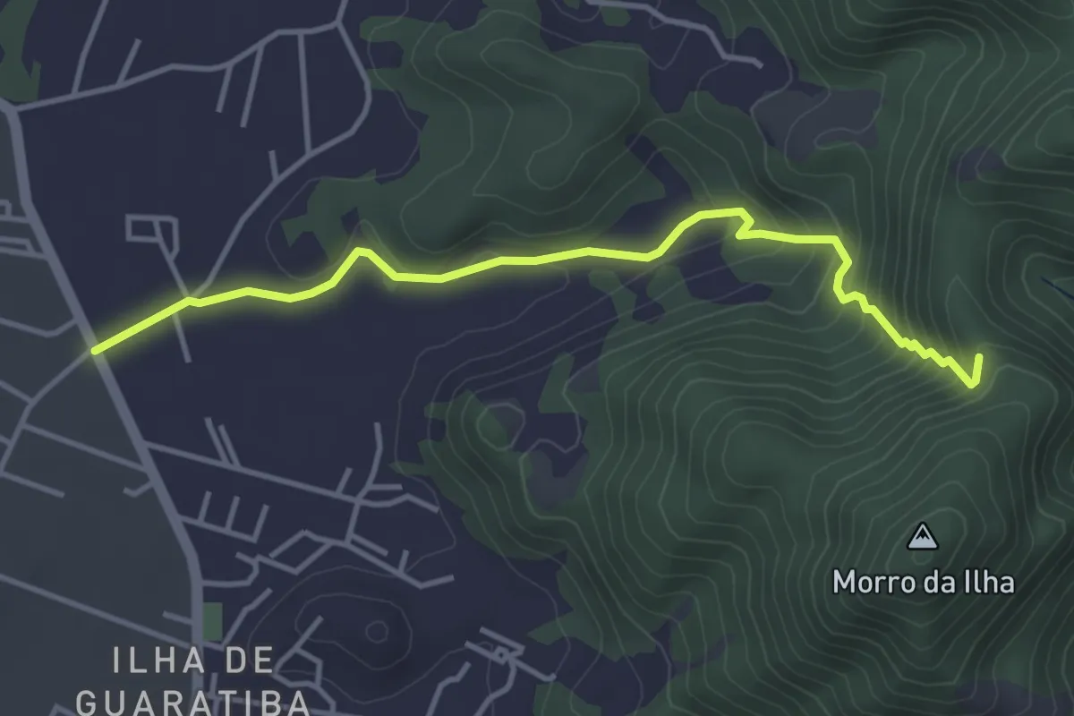
Easy · Trail
Acesso a Trilha Transcarioca
5.4 km · ↑ 277 m · 1 h 52 min
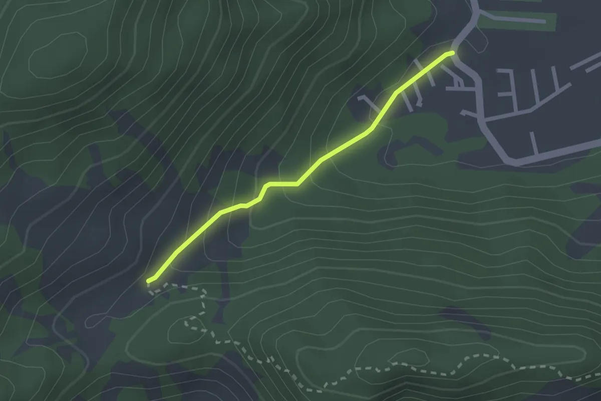
Easy · Trail
Acesso a Trilha Transcarioca
2.6 km · ↑ 157 m · 57 min
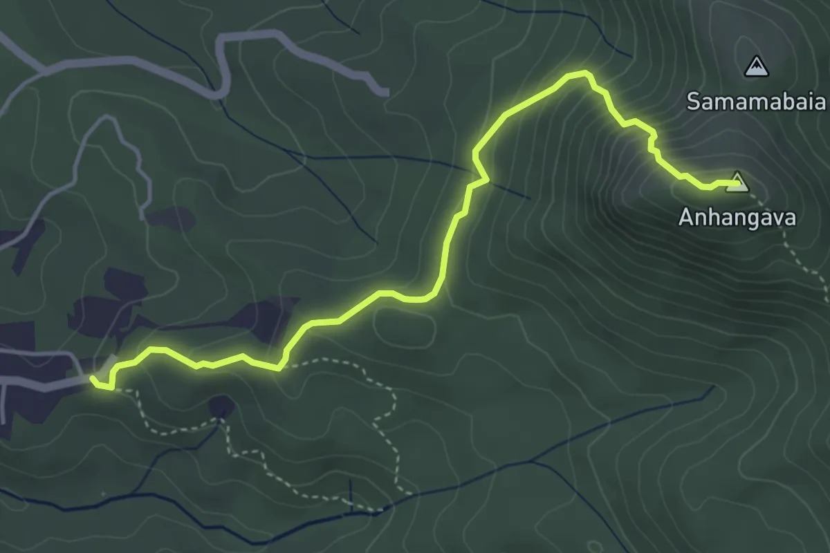
Demanding · Summit
Anhangava
5.8 km · ↑ 441 m · 2 h 20 min
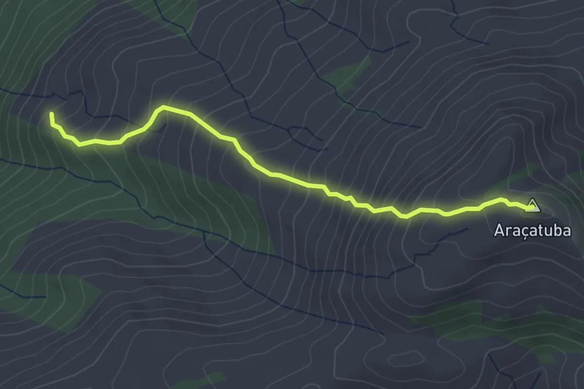
Medium · Summit
Araçatuba
4.8 km · ↑ 516 m · 2 h 15 min
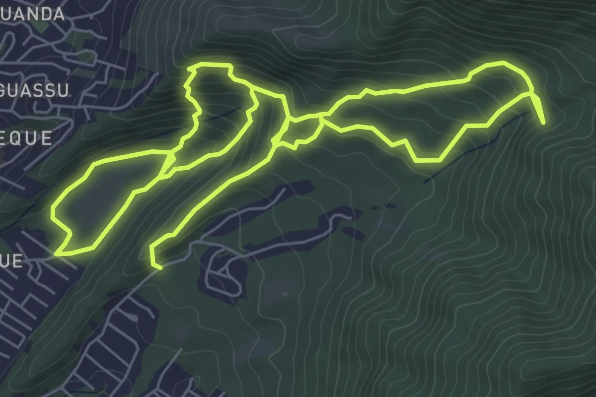
Demanding · Trail
Bananal Waterfall Trail
16.9 km · ↑ 1011 m · 6 h 10 min
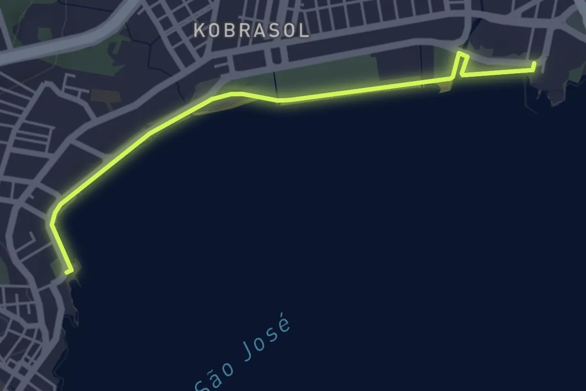
Easy · Trail
Calçadão da Beira Mar de São José
6.2 km · ↑ 61 m · 1 h 36 min
Medium · Trail
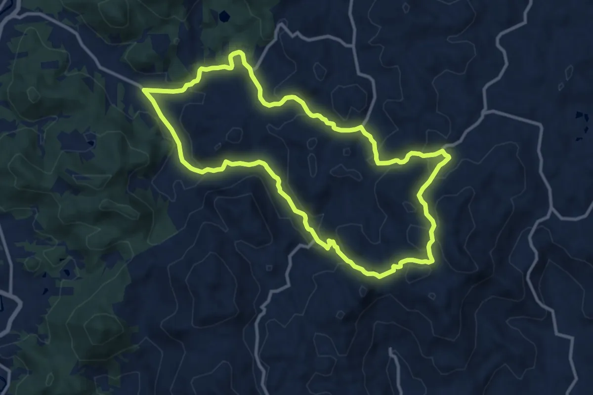
Caminhada Encantos do Wunderwald
12.9 km · ↑ 492 m · 4 h 17 min
Medium · Trail
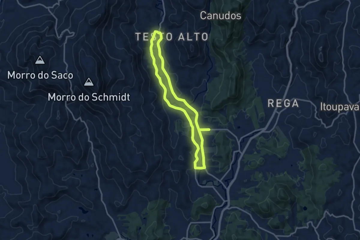
Caminhada Noturna na Rota do Enxaimel
12.4 km · ↑ 77 m · 3 h 16 min
Medium · Trail
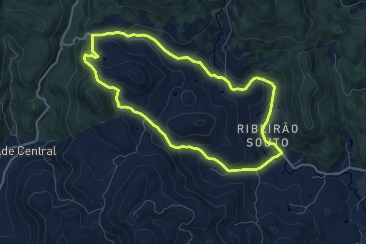
Caminhada Ribeirão Souto
8.4 km · ↑ 320 m · 2 h 48 min
Medium · Trail
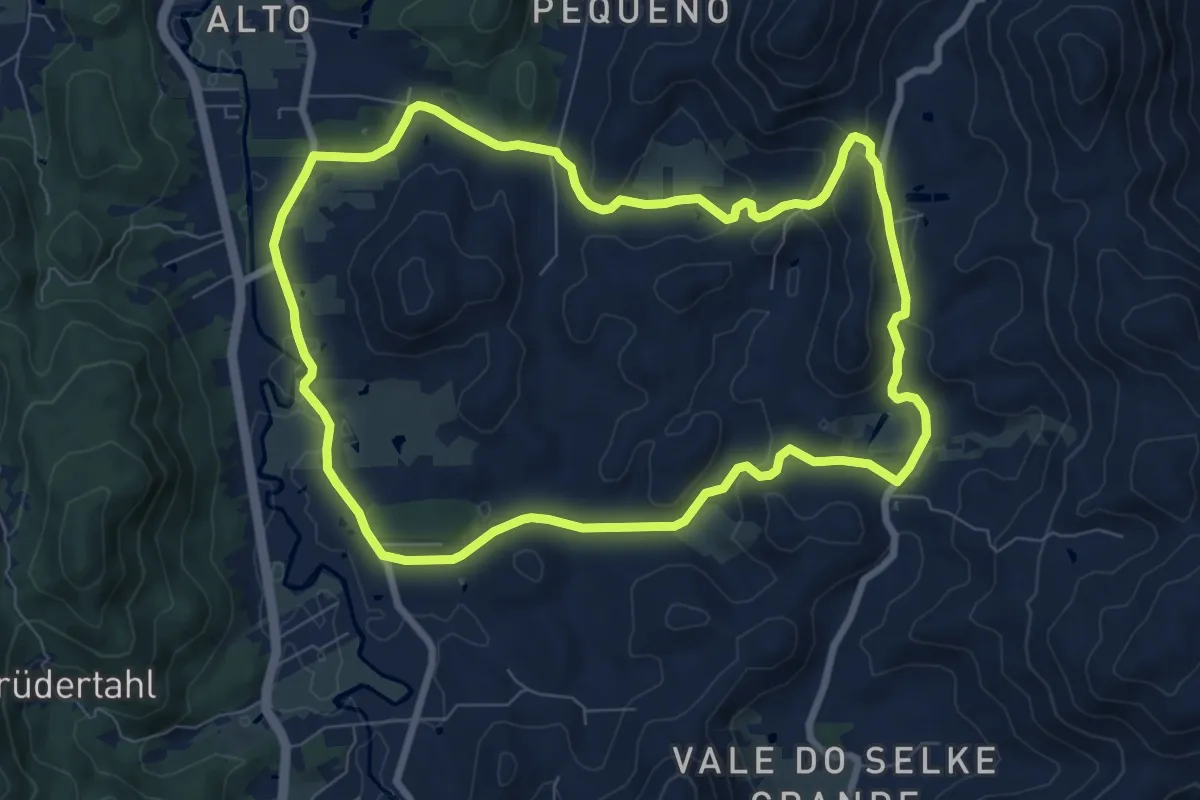
Caminhada Vale do Selke
10.4 km · ↑ 233 m · 3 h 6 min
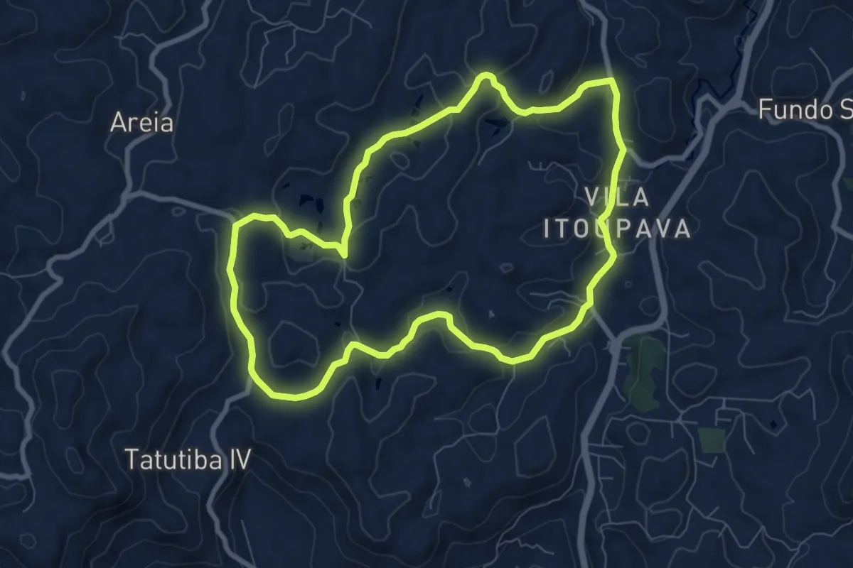
Medium · Trail
Caminhada Vila Itoupava
9.7 km · ↑ 257 m · 2 h 59 min
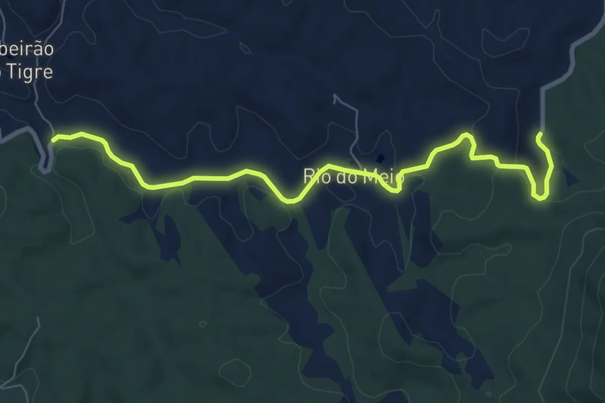
Medium · Trail
Caminho da Mata Atlântica - Montanhas do Paraná
9.3 km · ↑ 213 m · 2 h 40 min
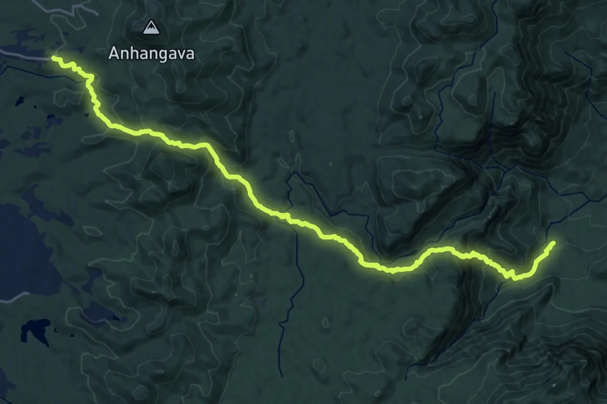
Medium · Trail
Caminho do Itupava
14.9 km · ↑ 430 m · 5 h 1 min
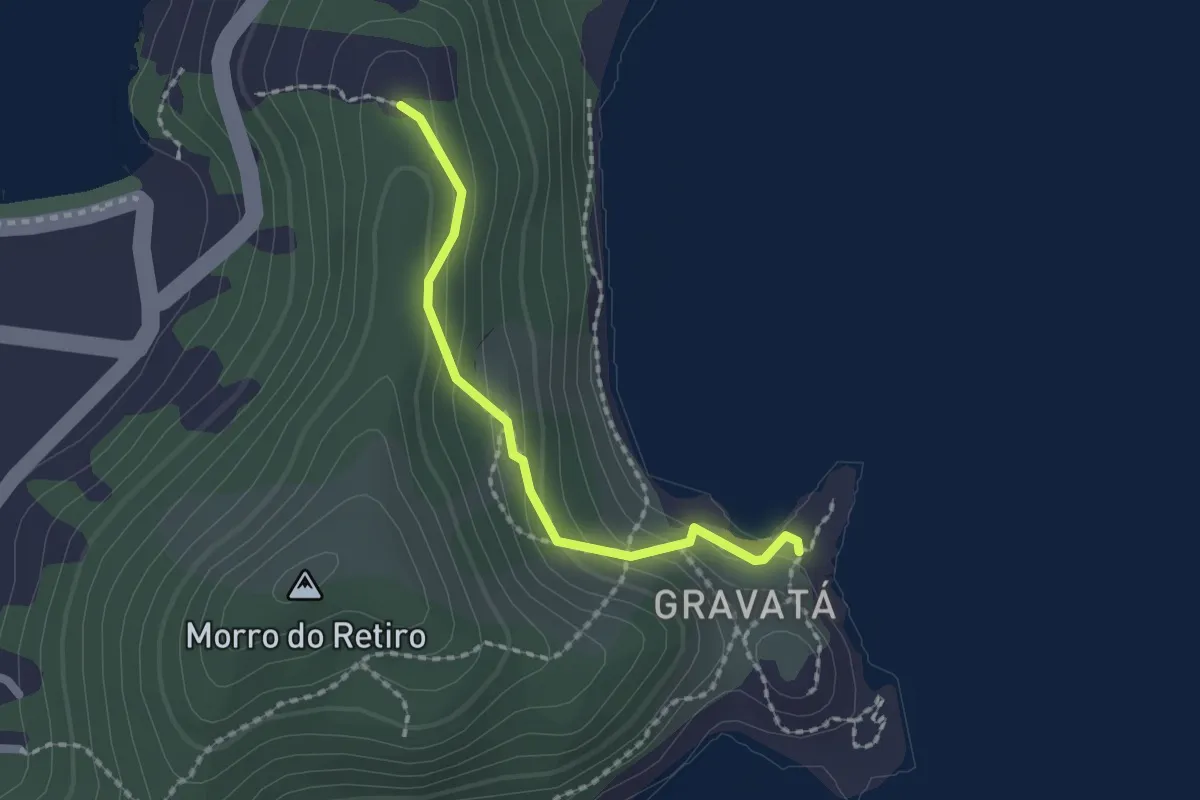
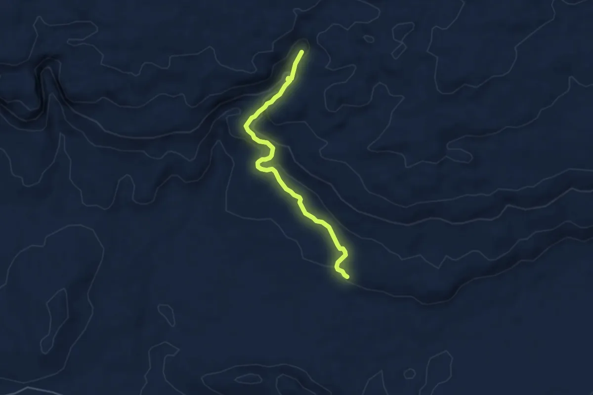
Easy · Trail
Caminho dos Pescadores
2.2 km · ↑ 107 m · 45 min
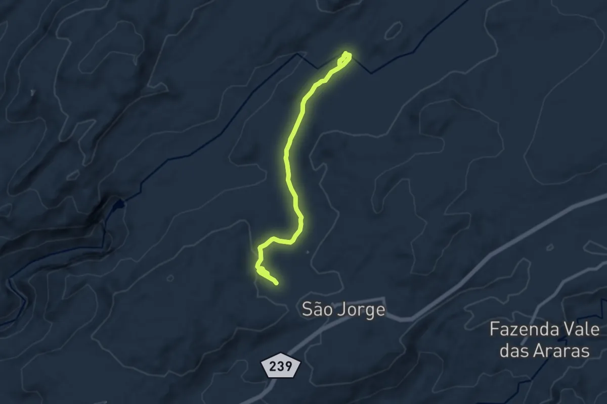
Medium · Trail
Cânion do Cipó
6.0 km · ↑ 328 m · 2 h 8 min
Medium · Trail
Cânion II e Cariocas
10.1 km · ↑ 167 m · 2 h 44 min
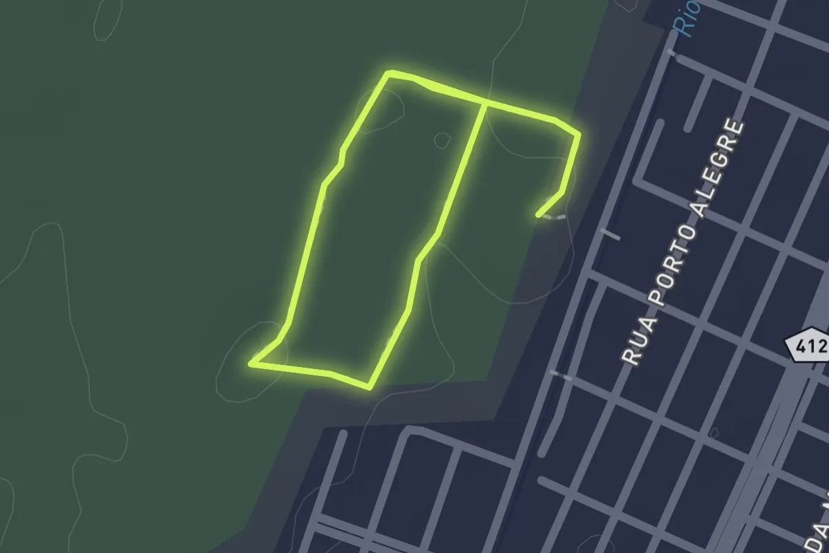
Easy · Trail
Circuito do P.E. Rio da Onça
3.1 km · ↑ 13 m · 45 min
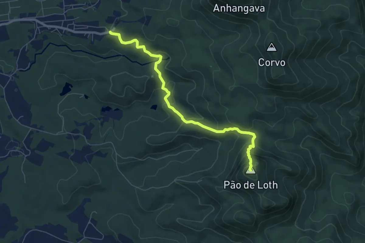
Demanding · Summit
Pão de Ló
8.4 km · ↑ 487 m · 3 h 3 min
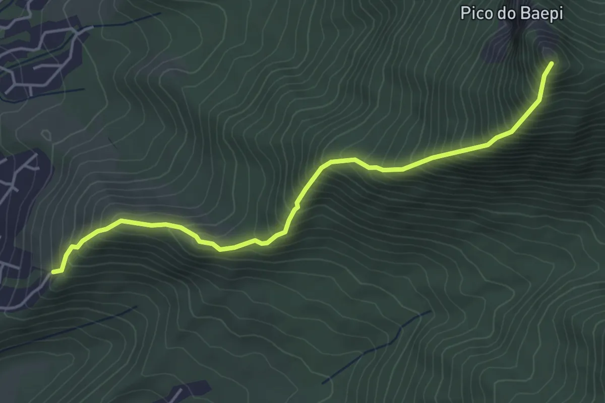
Demanding · Trail
Pico do Baepi Trail
6.1 km · ↑ 818 m · 3 h 12 min
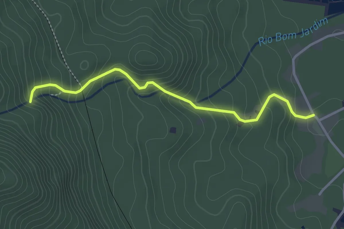
Easy · Trail
Salto Bom Jardim
3.5 km · ↑ 251 m · 1 h 22 min
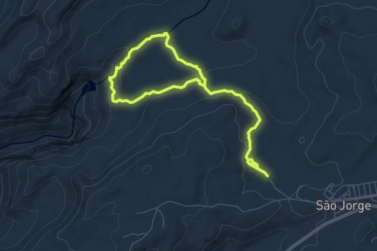
Expert · Trail
Saltos, Carrossel e Corredeiras
12.0 km · ↑ 335 m · 3 h 33 min
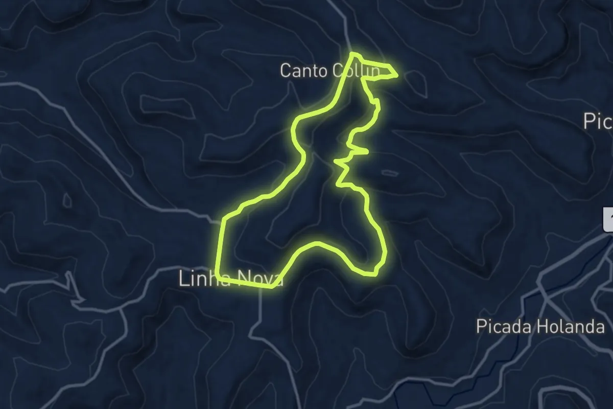
Medium · Trail
Spassweg - Caminho das Acácias
13.1 km · ↑ 381 m · 4 h 6 min
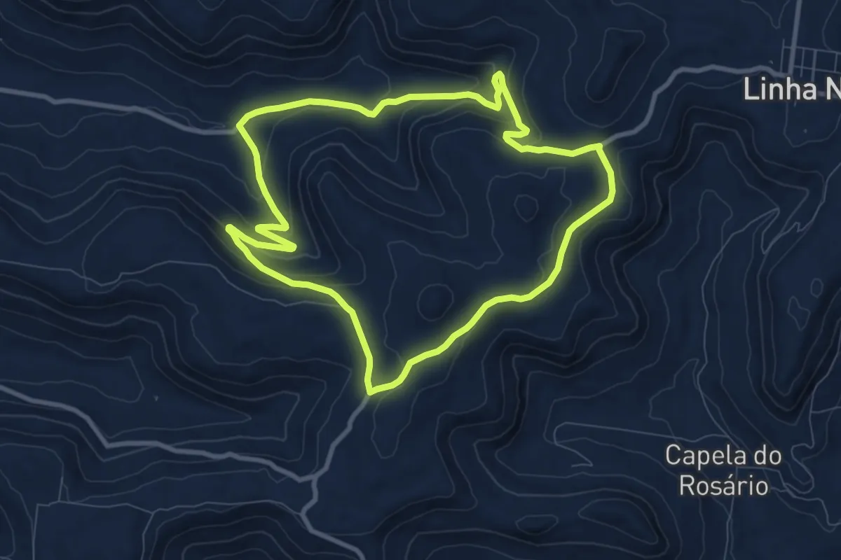
Medium · Trail
Spassweg - Caminho das Paineiras
10.6 km · ↑ 340 m · 3 h 23 min
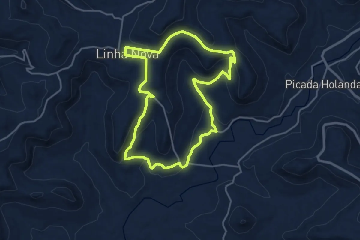
Medium · Trail
Spassweg - Caminho dos Manacás
13.0 km · ↑ 396 m · 4 h 6 min
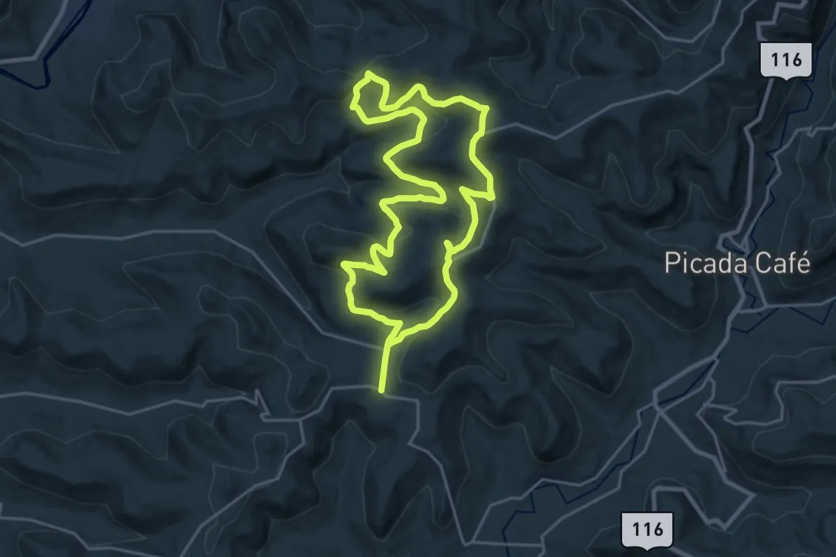
Demanding · Trail
Spassweg - Caminho dos Pinheiros
21.8 km · ↑ 646 m · 6 h 51 min
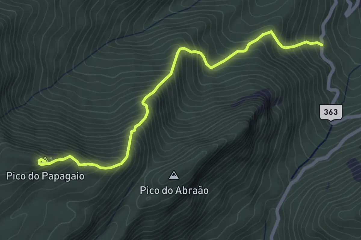
Medium · Summit
T13: Pico do Papagaio
6.8 km · ↑ 794 m · 3 h 20 min
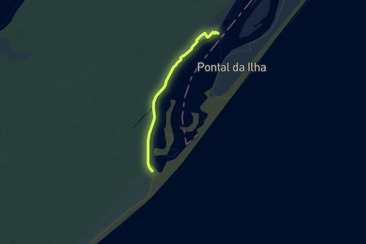
Easy · Trail
Travessia do Superagui
7.5 km · ↑ 38 m · 1 h 51 min
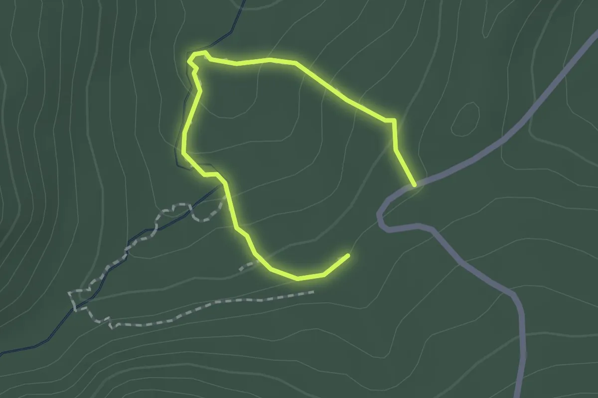
Easy · Trail
Trilha Afonso Sardinha
1.3 km · ↑ 55 m · 26 min
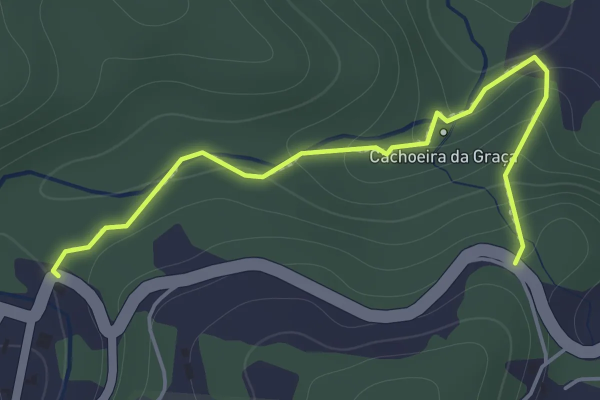
Easy · Trail
Trilha Cachoeira da Graça
2.2 km · ↑ 125 m · 47 min
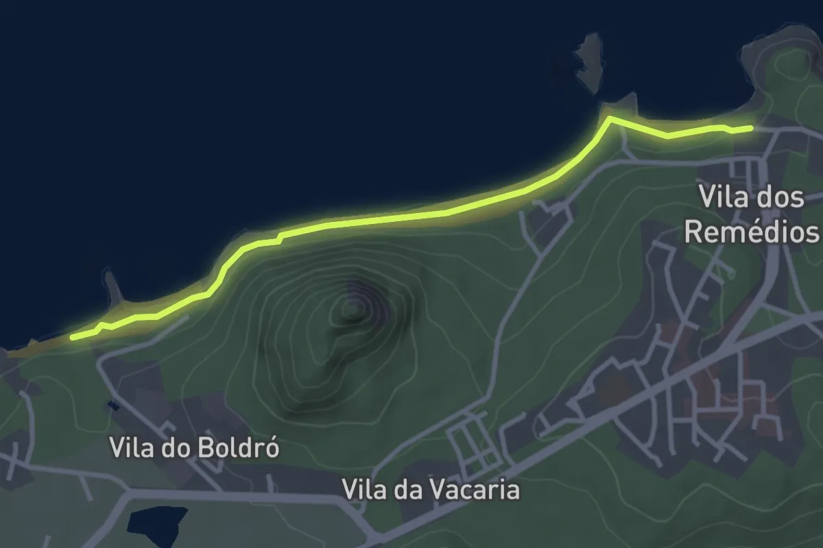
Expert · Trail
Trilha Costa Azul
4.6 km · ↑ 63 m · 1 h 13 min
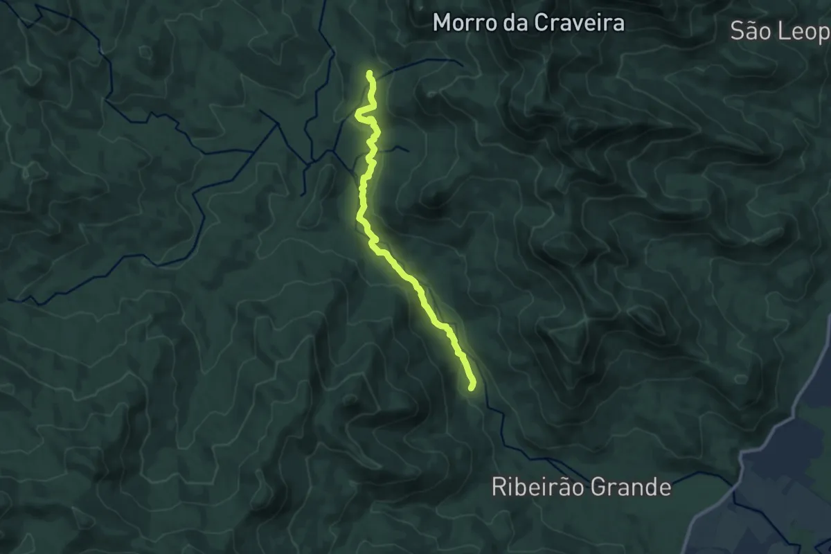
Medium · Trail
Trilha da Ambulância
11.1 km · ↑ 370 m · 3 h 26 min
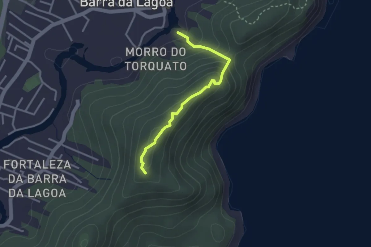
Easy · Summit
Trilha da Boa Vista - Barra da Lagoa
3.1 km · ↑ 183 m · 1 h 8 min
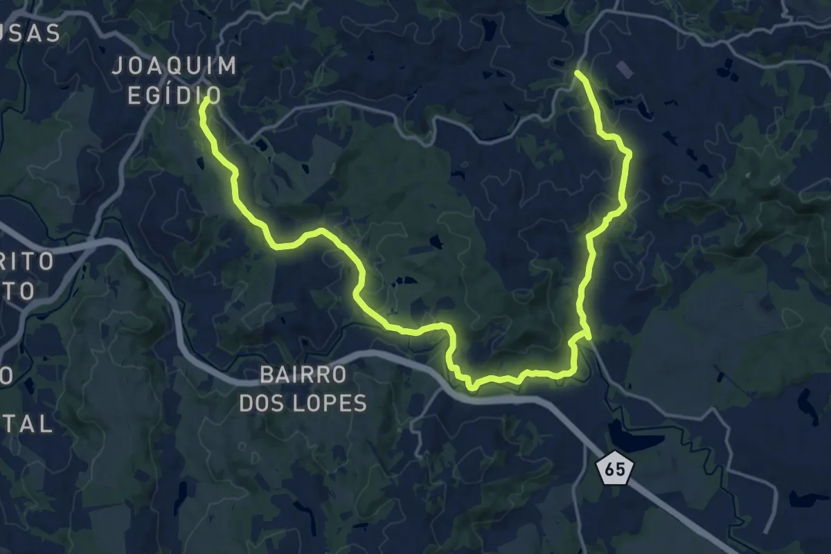
Medium · Trail
Trilha da Bocaina
16.1 km · ↑ 317 m · 4 h 45 min
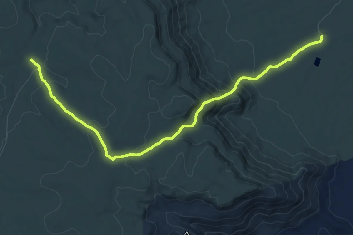
Medium · Trail
Trilha da Encosta
15.0 km · ↑ 508 m · 4 h 51 min
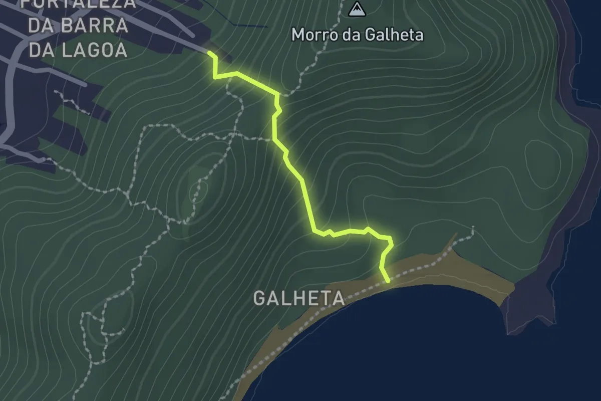
Easy · Trail
Trilha da Fortaleza à Galheta
2.0 km · ↑ 178 m · 51 min
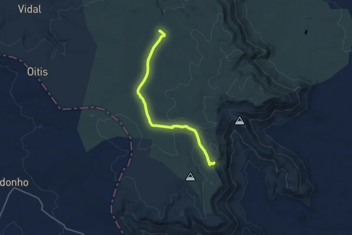
Medium · Trail
Trilha da Gameleira
14.5 km · ↑ 133 m · 3 h 55 min
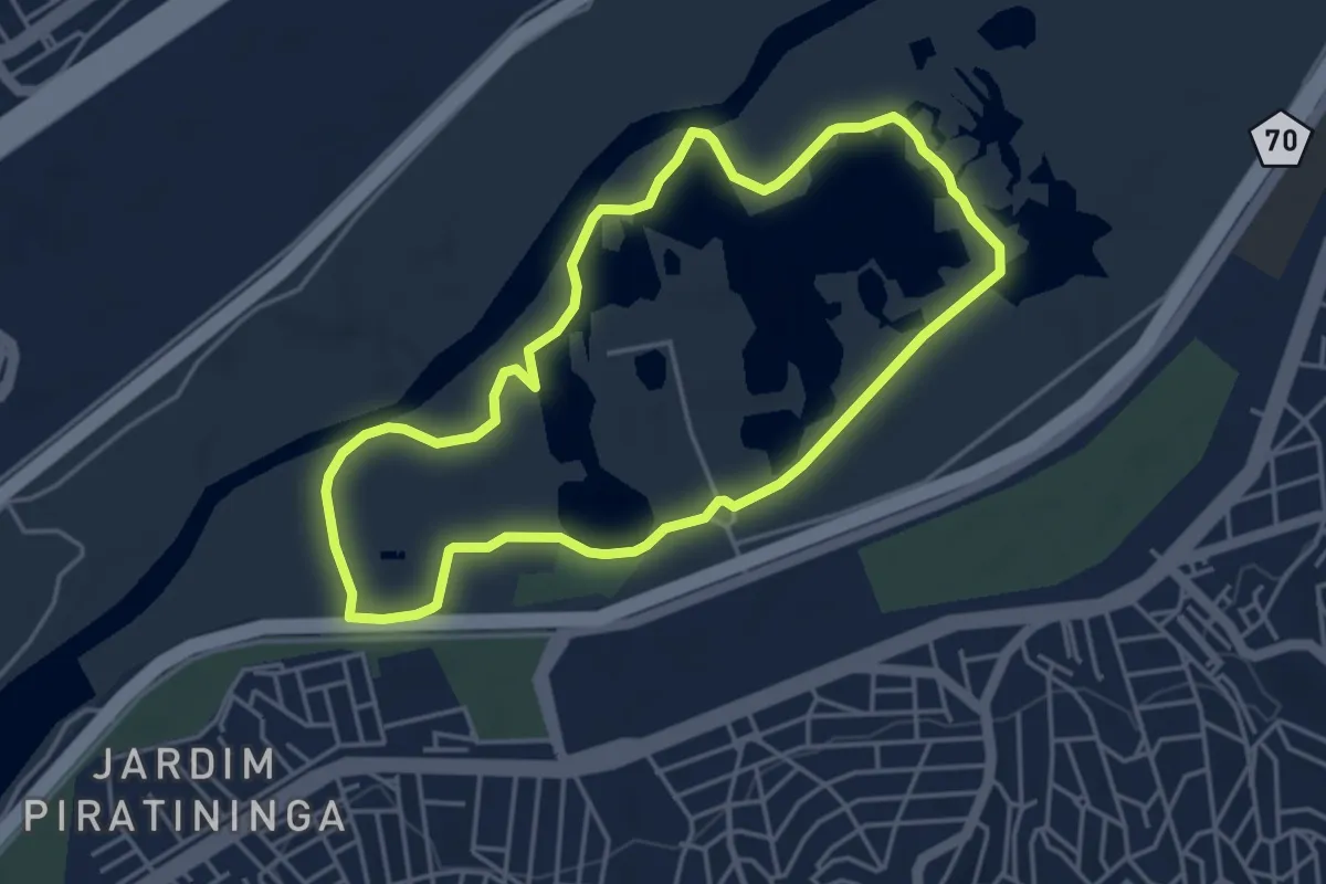
Easy · Trail
Trilha de Caminhada
5.5 km · ↑ 62 m · 1 h 30 min
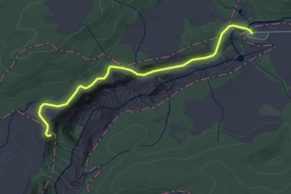
Easy · Trail
Trilha do Cotovelo
5.1 km · ↑ 307 m · 1 h 52 min
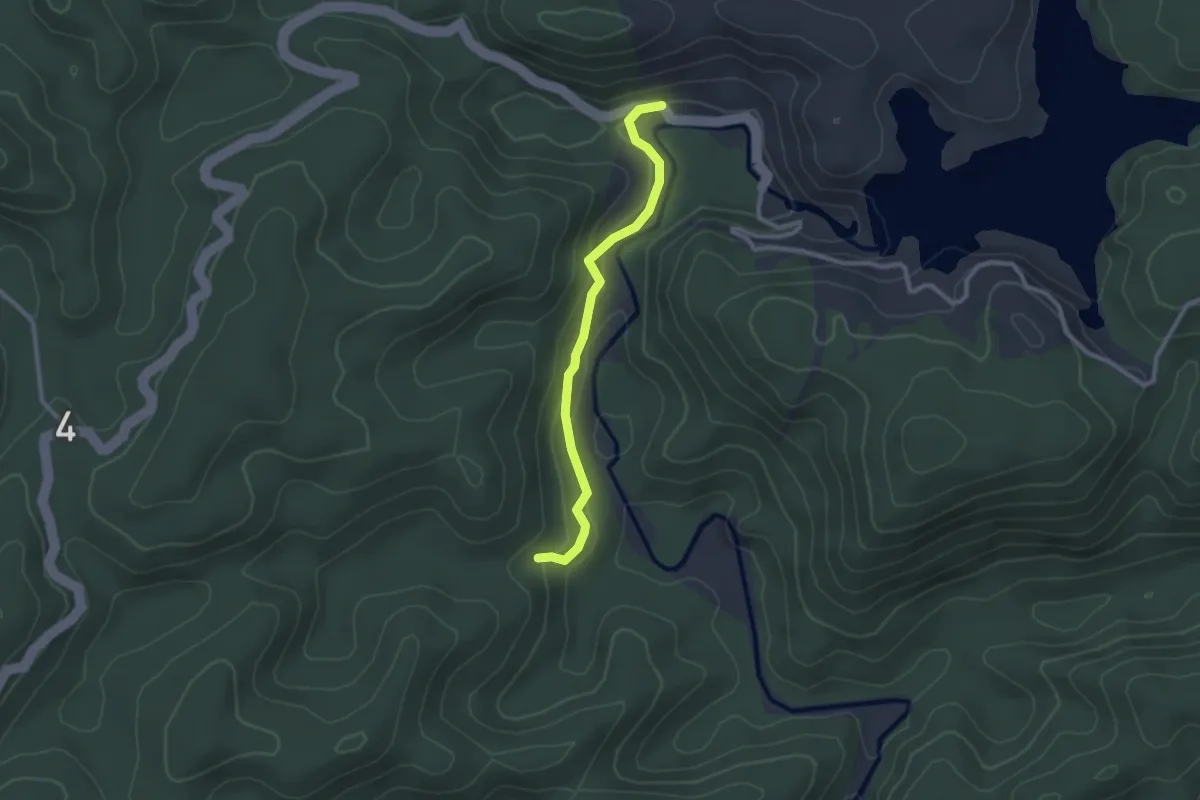
Easy · Trail
Trilha do Juquiá
3.2 km · ↑ 126 m · 1 h 1 min
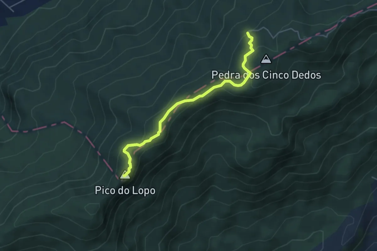
Demanding · Summit
Trilha do Lopo
5.4 km · ↑ 225 m · 1 h 46 min
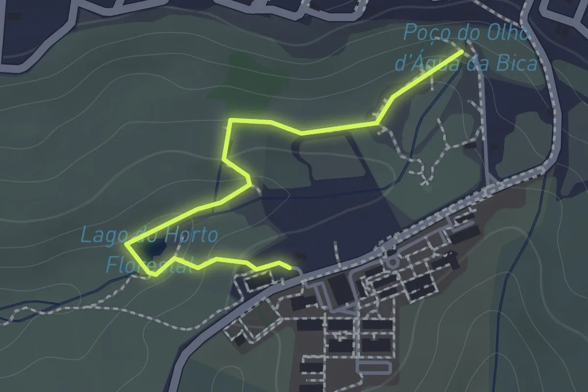
Easy · Trail
Trilha do Olho d'Água da Bica
2.0 km · ↑ 72 m · 38 min
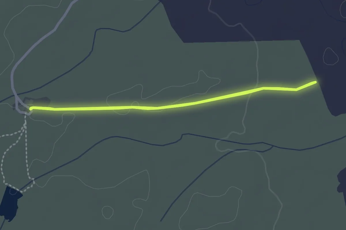
Easy · Trail
Trilha do Riacho do Padre
3.0 km · ↑ 14 m · 48 min
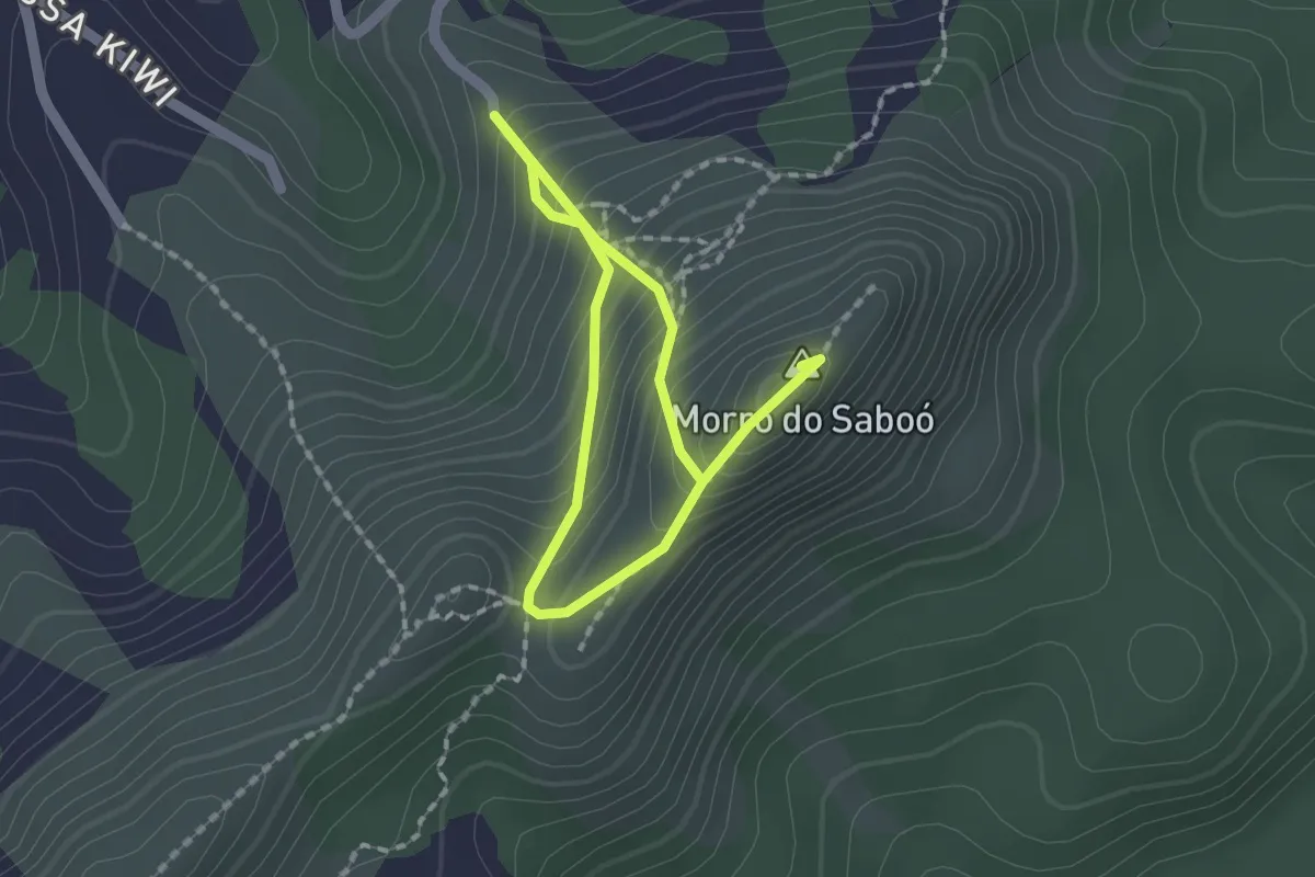
Medium · Summit
Trilha do Saboó
3.2 km · ↑ 332 m · 1 h 29 min
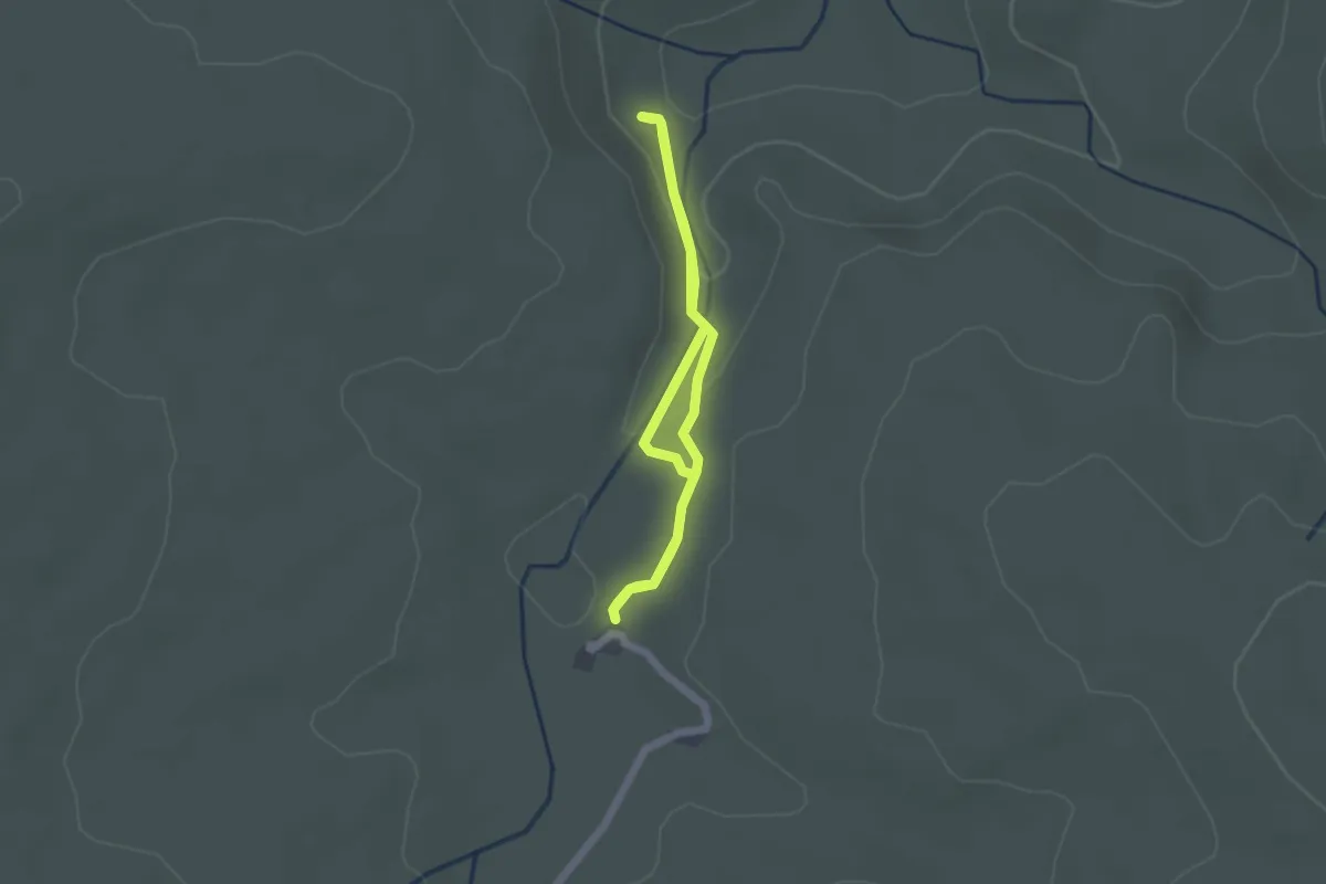
Easy · Trail
Trilha dos Macacos
2.1 km · ↑ 50 m · 39 min
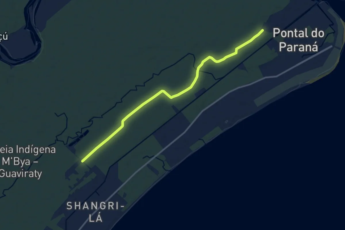
Medium · Trail
Trilha Ecológica - Estr. Velha de Shangri-lá
14.4 km · ↑ 57 m · 3 h 32 min
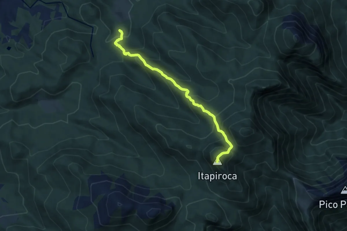
Demanding · Summit
Trilha Itapiroca
9.2 km · ↑ 834 m · 3 h 59 min