Trails in Bulgaria
453 hiking trails, each with its route, climb, walking time and grade.
All trails, page 2 of 10
Demanding · Trail
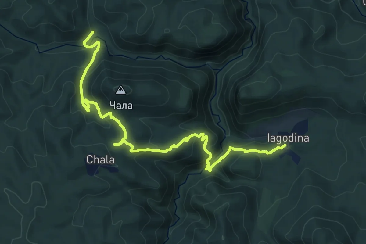
ST516a Devil's Gorge detour
20.6 km · ↑ 1124 m · 7 h 17 min
Demanding · Trail
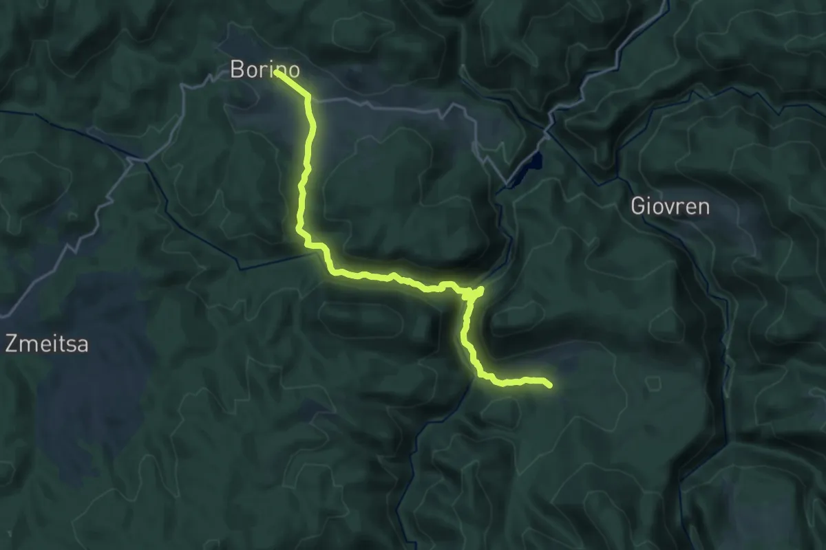
ST516 Borino - Yagodina
20.8 km · ↑ 728 m · 6 h 29 min
Demanding · Trail
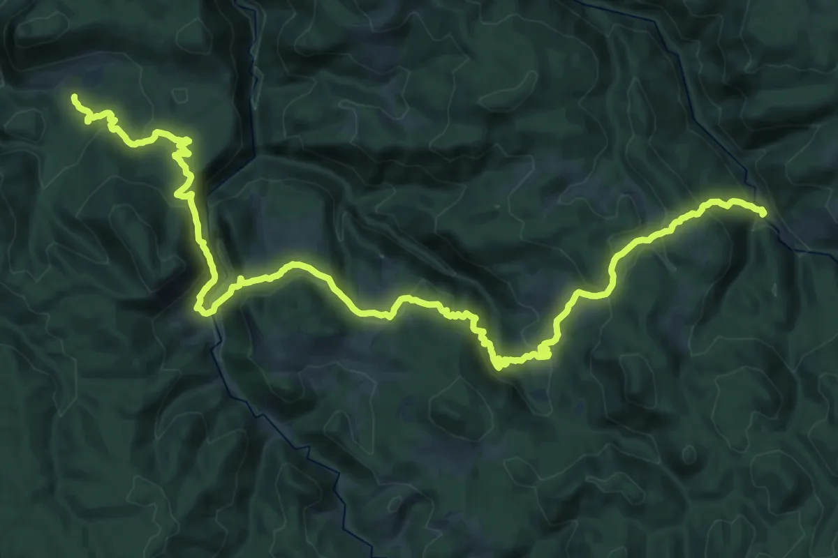
ST517 Yagodina - Mugla
21.5 km · ↑ 847 m · 7 h 21 min
Demanding · Trail
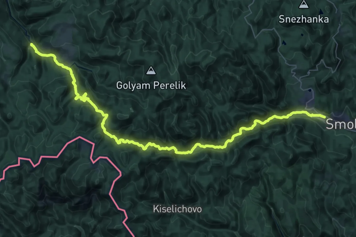
ST518a Mugla - Smolyan
25.2 km · ↑ 703 m · 8 h 1 min
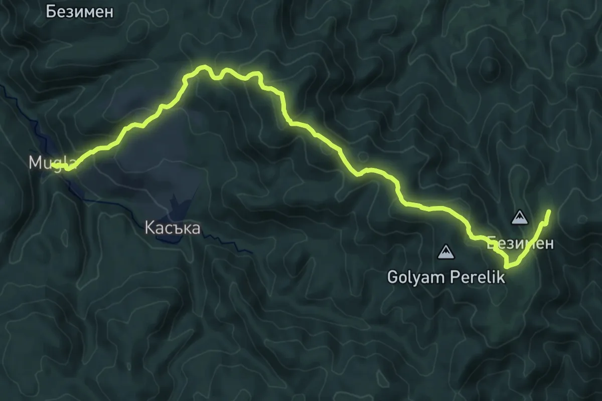
Demanding · Cabin
ST518 Mugla - Perelik
12.4 km · ↑ 959 m · 4 h 52 min
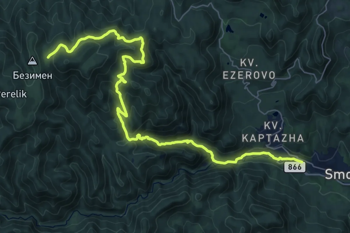
Demanding · Cabin
ST519 Perelik - Smolyan
16.2 km · ↑ 1264 m · 6 h 17 min
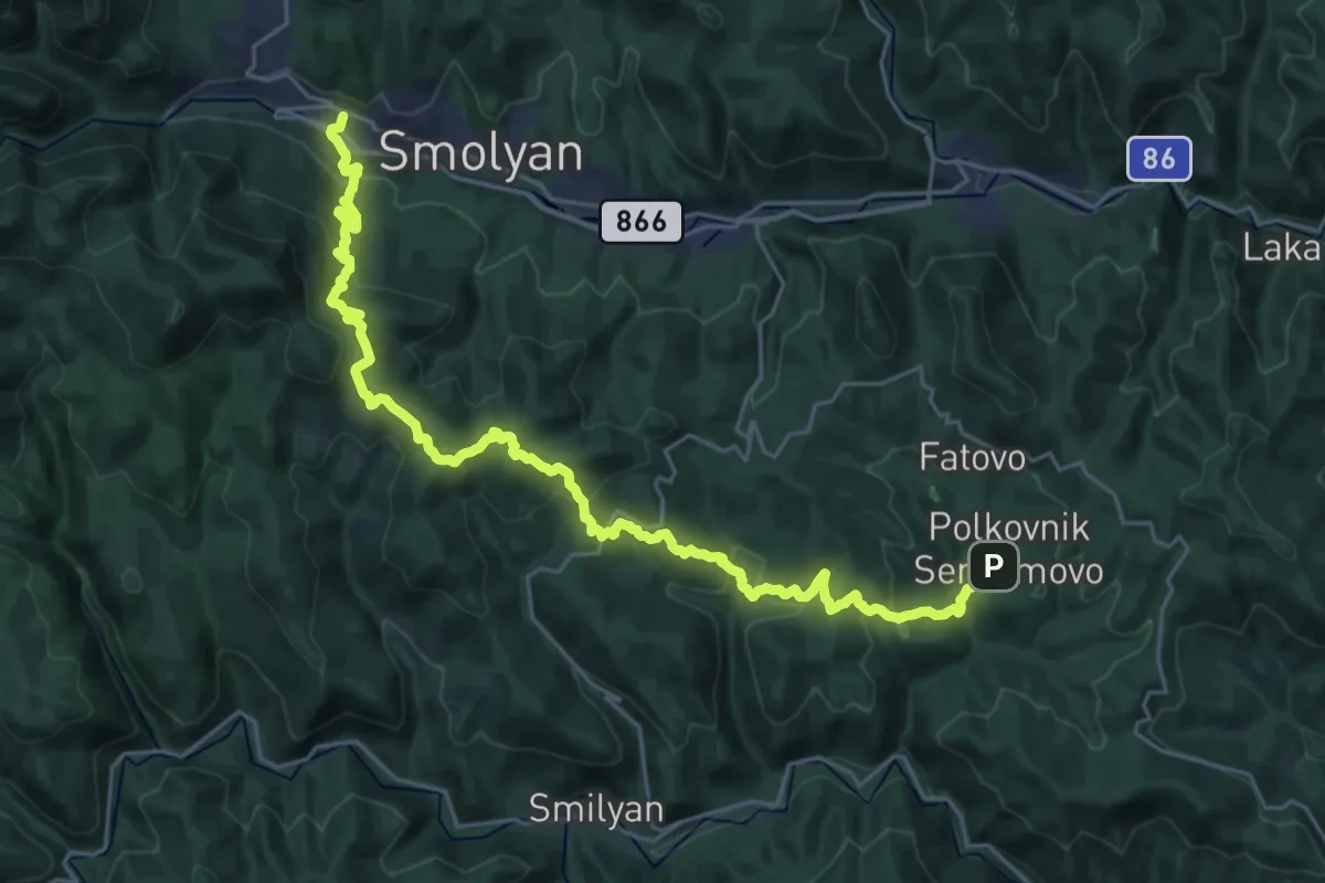
Medium · Trail
ST520 Smolyan - Polkovnik Serafimovo
16.0 km · ↑ 741 m · 5 h 34 min
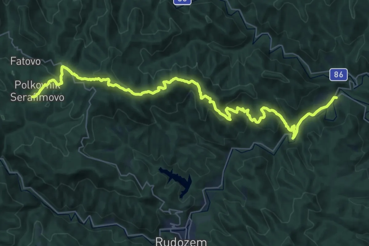
Demanding · Trail
ST521 Polkovnik Serafimovo - Srednogorci
17.6 km · ↑ 939 m · 6 h 18 min
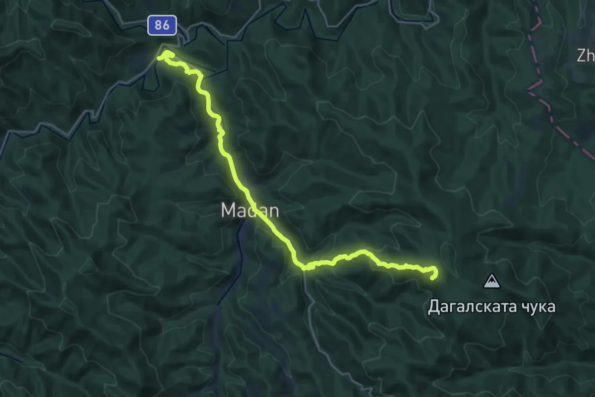
Demanding · Cabin
ST522 Srednogortsi - Shadeetsa
23.8 km · ↑ 730 m · 7 h 13 min
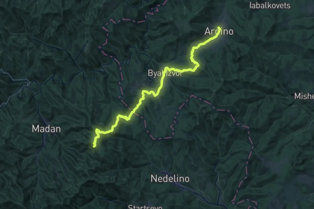
Demanding · Cabin
ST523 Shadeetsa - Ardino
24.4 km · ↑ 1086 m · 8 h 11 min
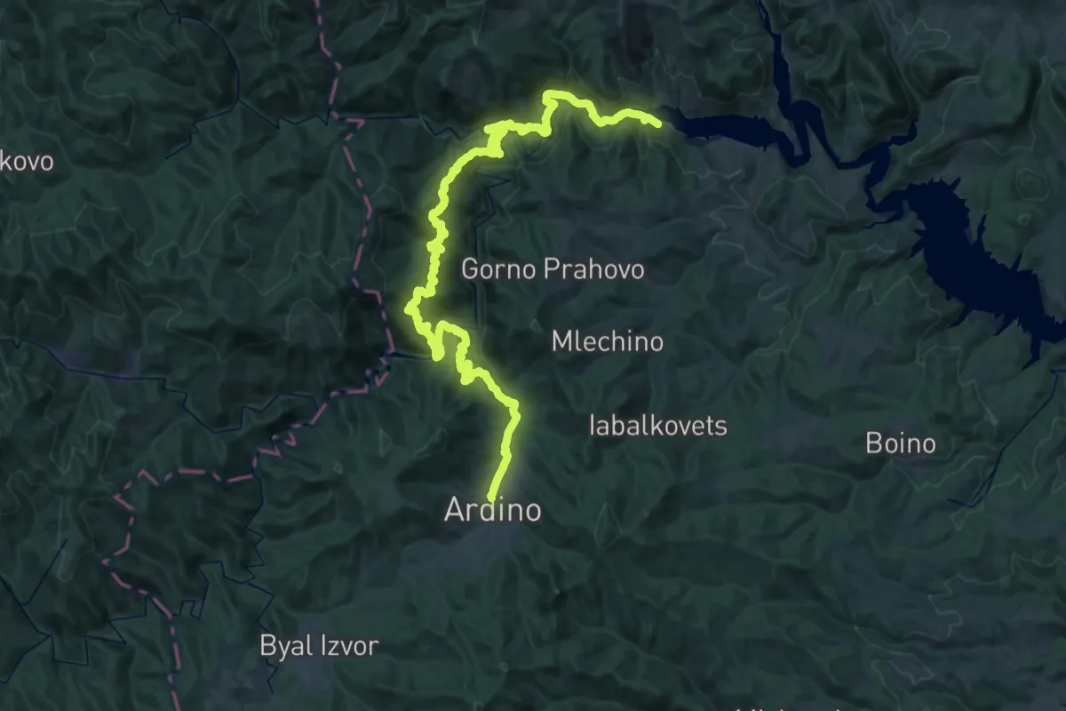
Demanding · Trail
ST524 Ardino - Kitnitsa
29.1 km · ↑ 1166 m · 9 h 56 min
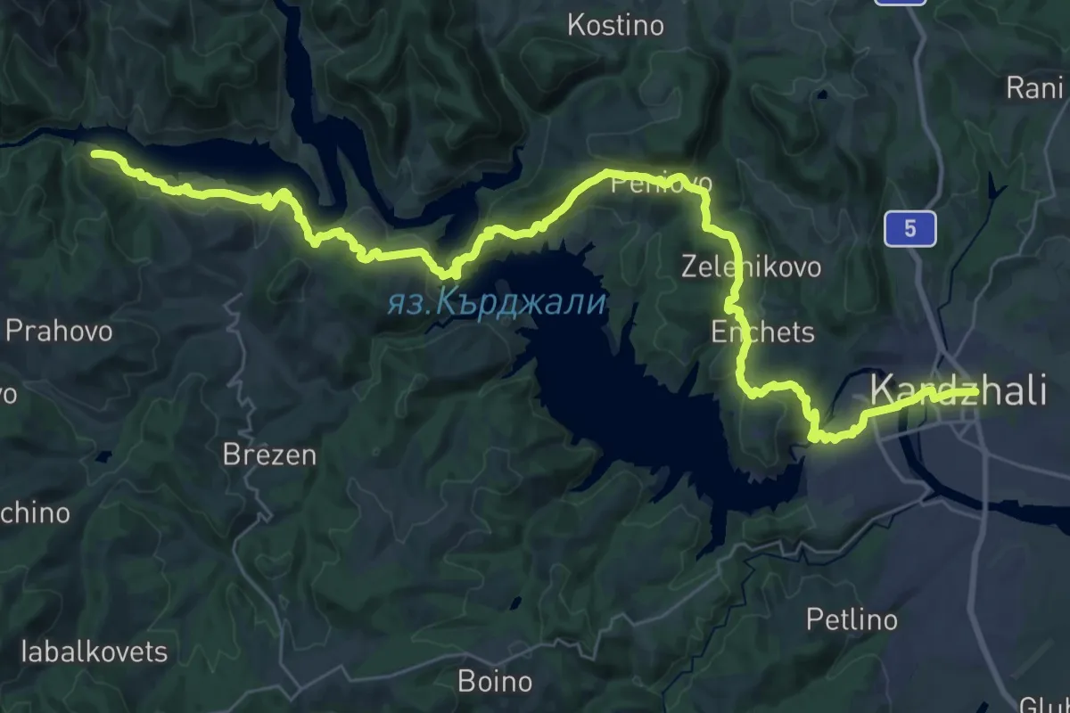
Demanding · Trail
ST525 Kitnitsa - Kardzhali
24.8 km · ↑ 688 m · 7 h 44 min
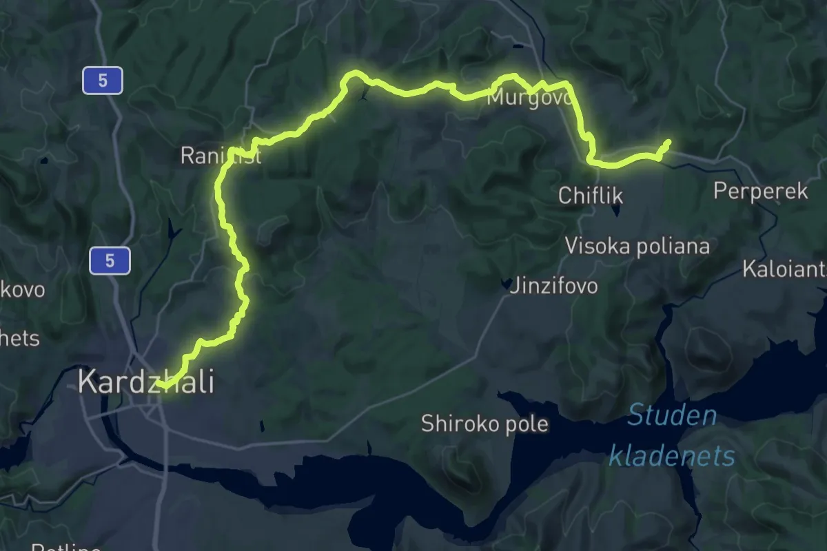
Demanding · Trail
ST526 Kardzhali - Madrets
22.2 km · ↑ 536 m · 6 h 41 min
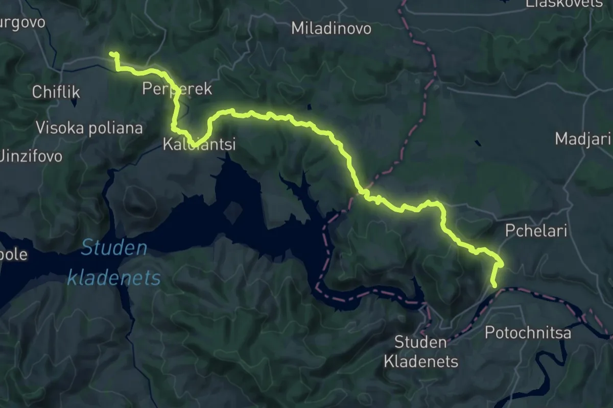
Demanding · Trail
ST527 Madrets - Rabovo
21.7 km · ↑ 509 m · 6 h 28 min
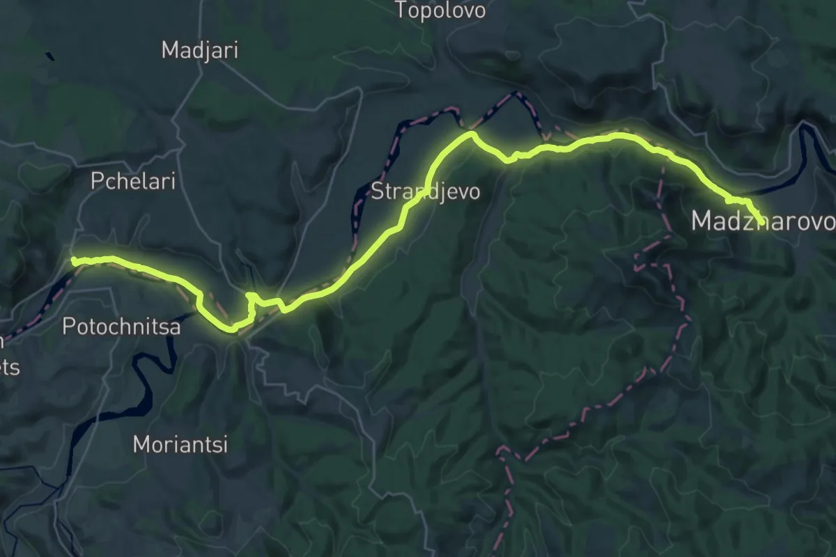
Demanding · Trail
ST528 Rabovo - Madzharovo
20.8 km · ↑ 250 m · 5 h 44 min
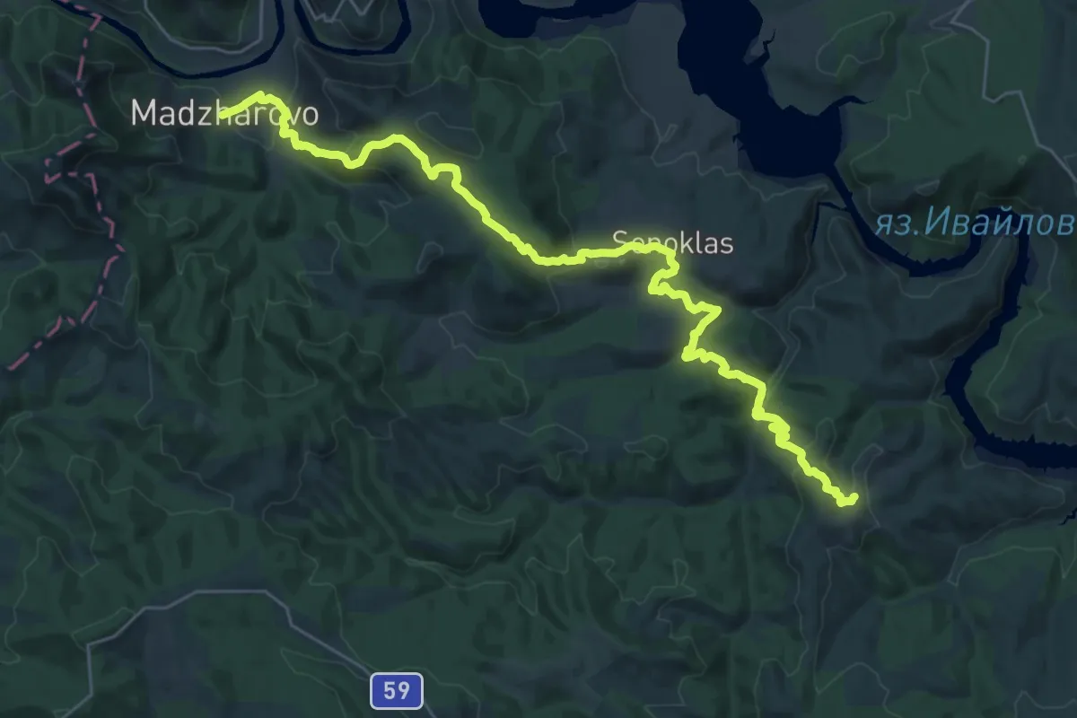
Demanding · Trail
ST529 Madzharovo - Gornoseltsi
19.2 km · ↑ 637 m · 6 h 18 min
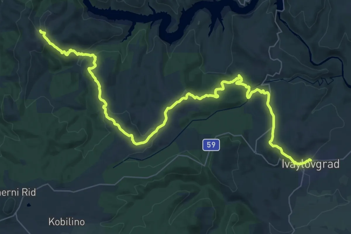
Demanding · Trail
ST530 Gornoseltsi - Ivaylovgrad
22.3 km · ↑ 669 m · 6 h 55 min
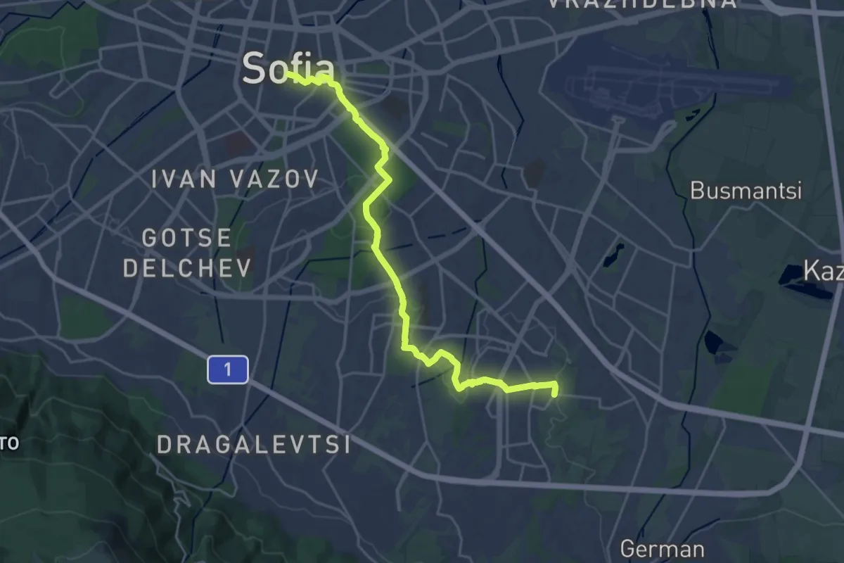
Demanding · Trail
ST701 Sofia - Mladost3
23.7 km · ↑ 229 m · 6 h 6 min
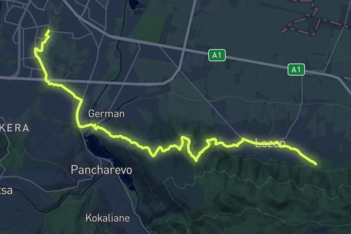
Medium · Trail
ST702 Mladost3 - Red Cross
17.4 km · ↑ 579 m · 5 h 32 min
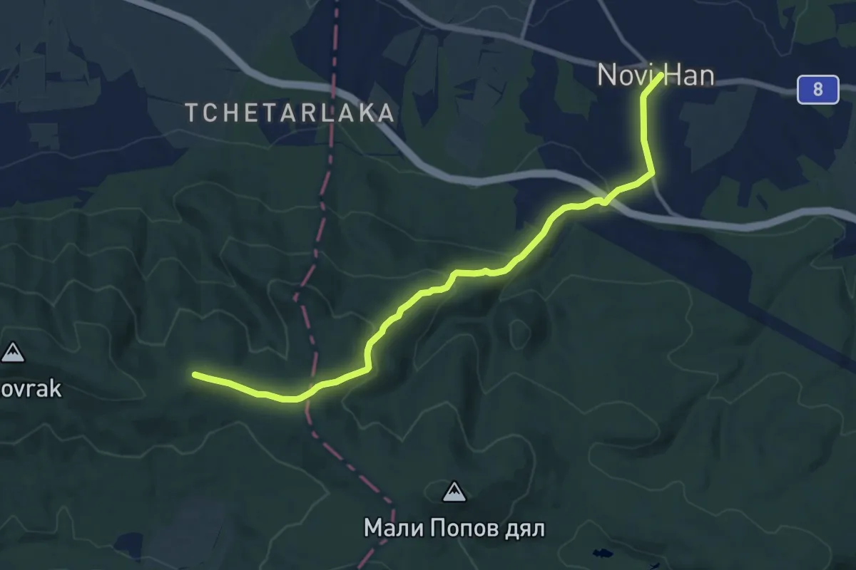
Medium · Summit
ST703 Red Cross - Novi Han
12.6 km · ↑ 486 m · 4 h 2 min
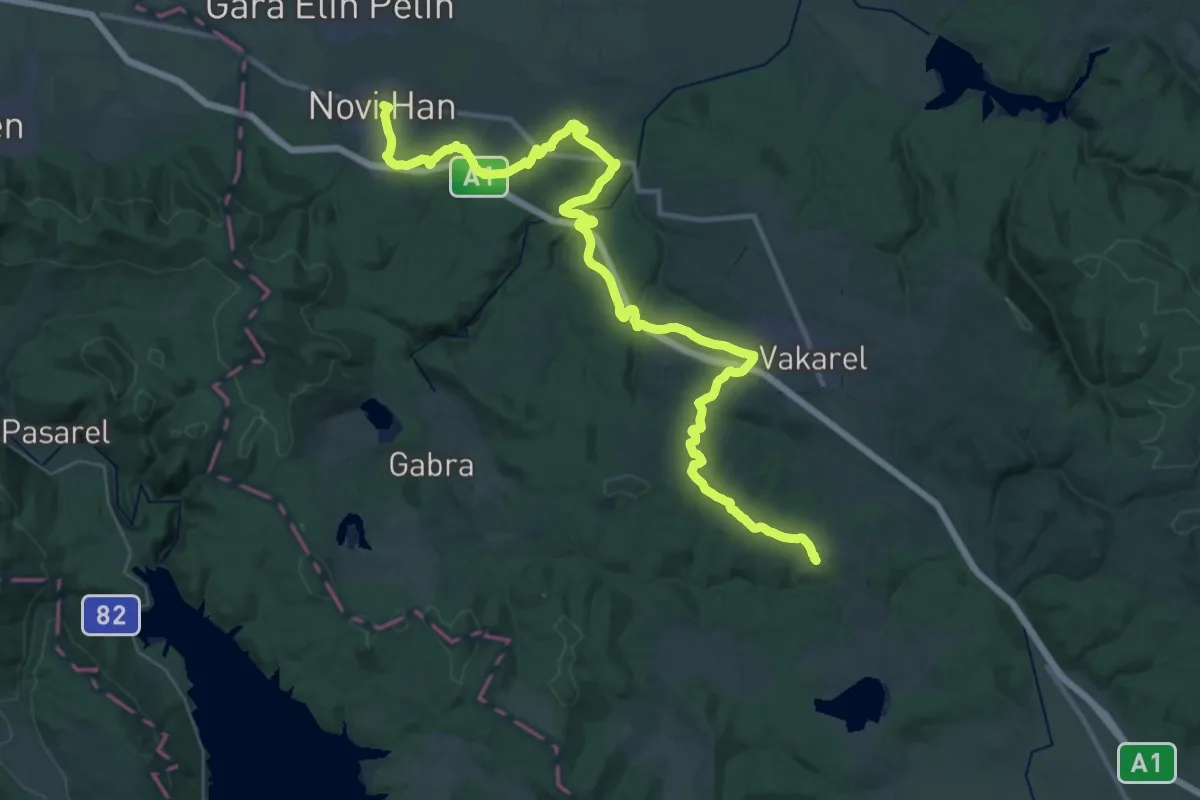
Demanding · Trail
ST704 Novi Han - Paunovo
24.5 km · ↑ 543 m · 7 h 12 min
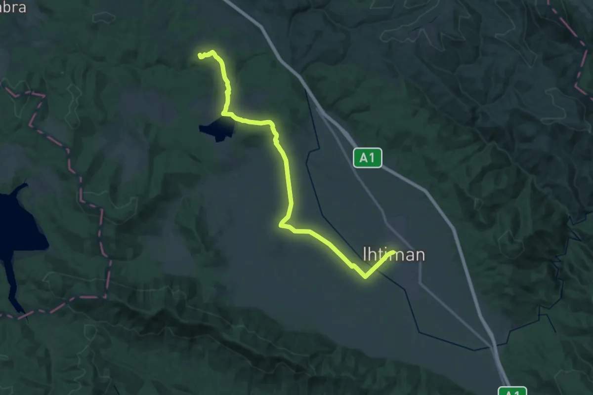
Medium · Trail
ST705 Paunovo - Ihtiman
16.9 km · ↑ 82 m · 4 h 30 min
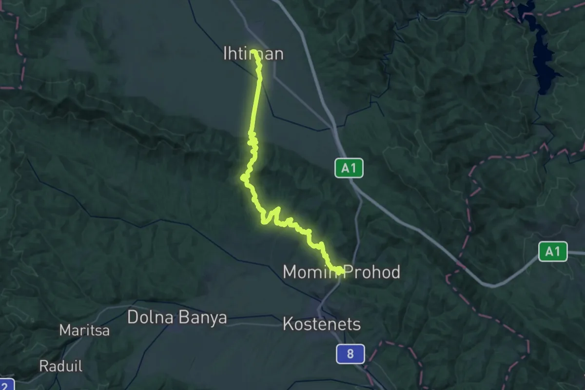
Demanding · Trail
ST706 Ihtiman - Momin Prohod
21.7 km · ↑ 474 m · 6 h 29 min
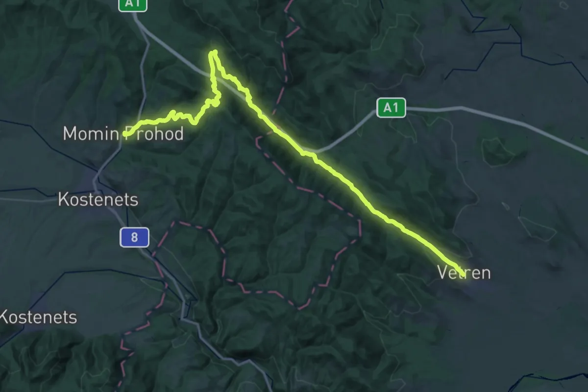
Demanding · Trail
ST707 Momin Prohod - Vetren
24.1 km · ↑ 835 m · 7 h 45 min
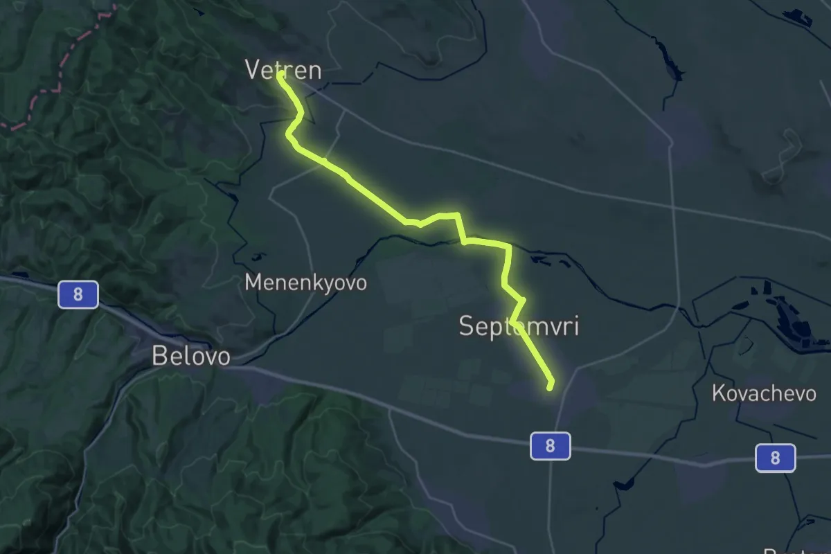
Demanding · Trail
ST708 Vetren - Septemvri
27.1 km · ↑ 169 m · 6 h 46 min
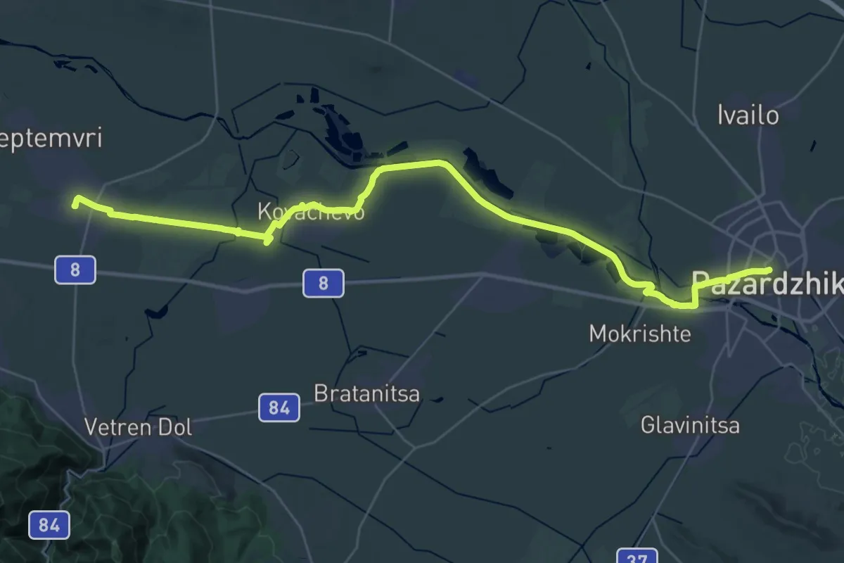
Demanding · Trail
ST709 Septemvri - Pazardzhik
20.6 km · ↑ 38 m · 5 h 13 min
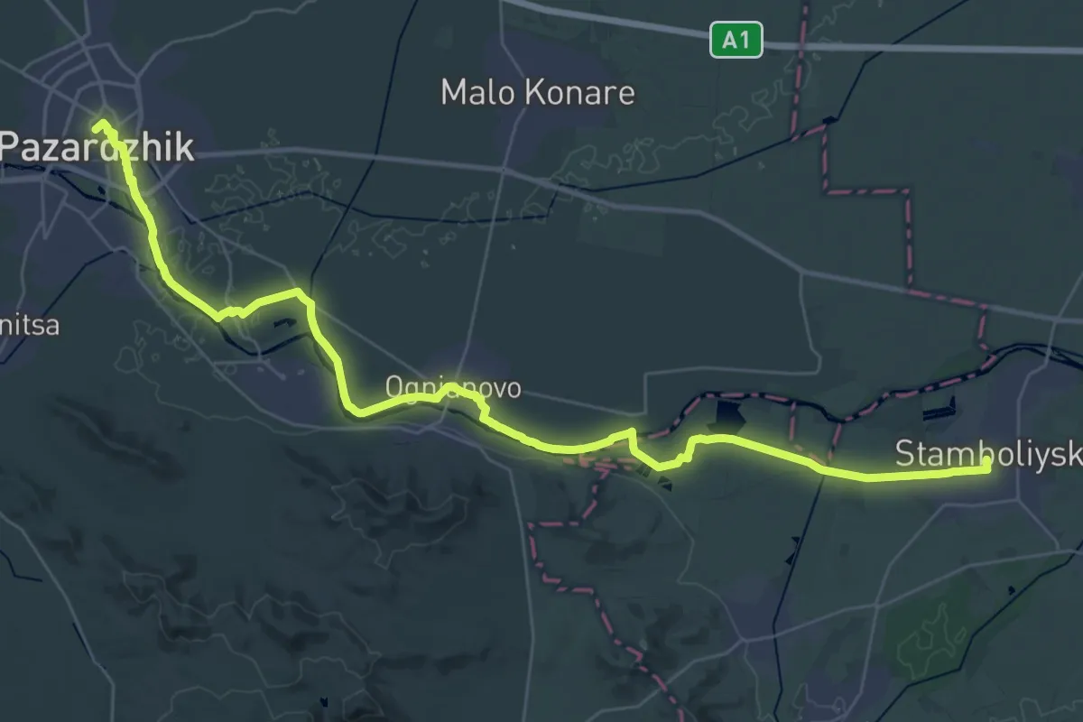
Demanding · Trail
ST710 Pazardzhik - Stambolijski
23.2 km · ↑ 17 m · 5 h 50 min
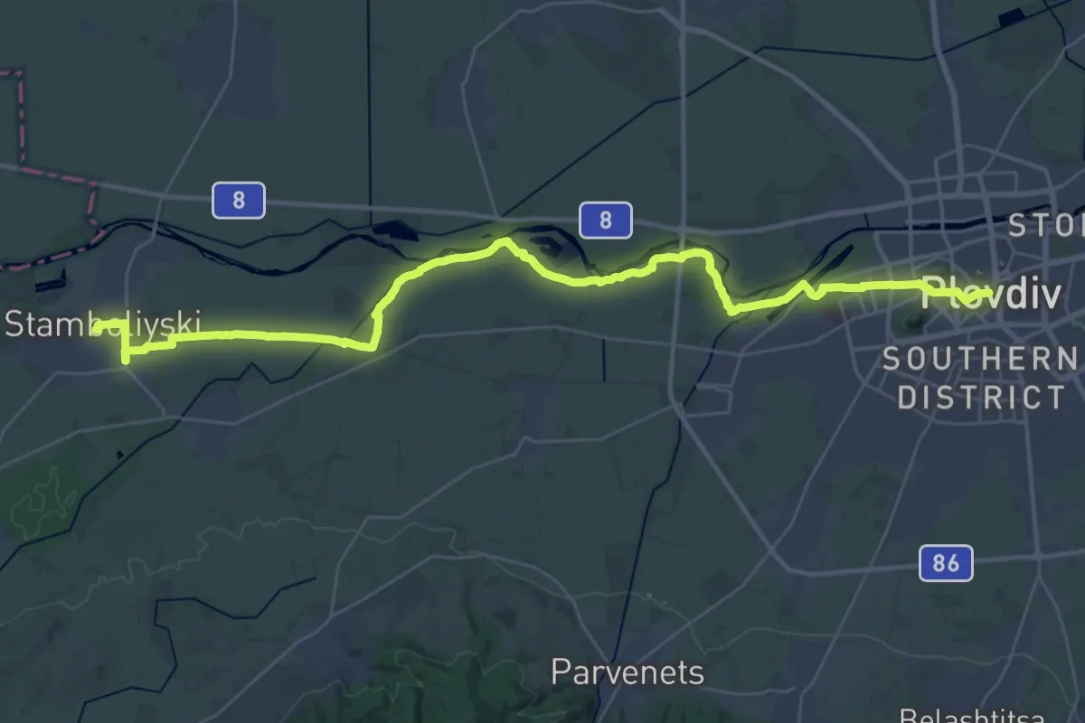
Demanding · Trail
ST711 Stambolijski - Plovdiv
22.3 km · ↑ 44 m · 5 h 41 min
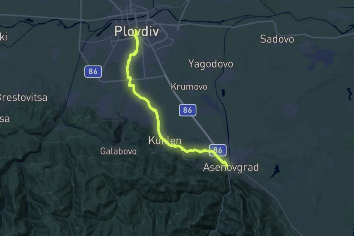
Demanding · Trail
ST712 Plovdiv - Asenovgrad
24.4 km · ↑ 244 m · 6 h 39 min
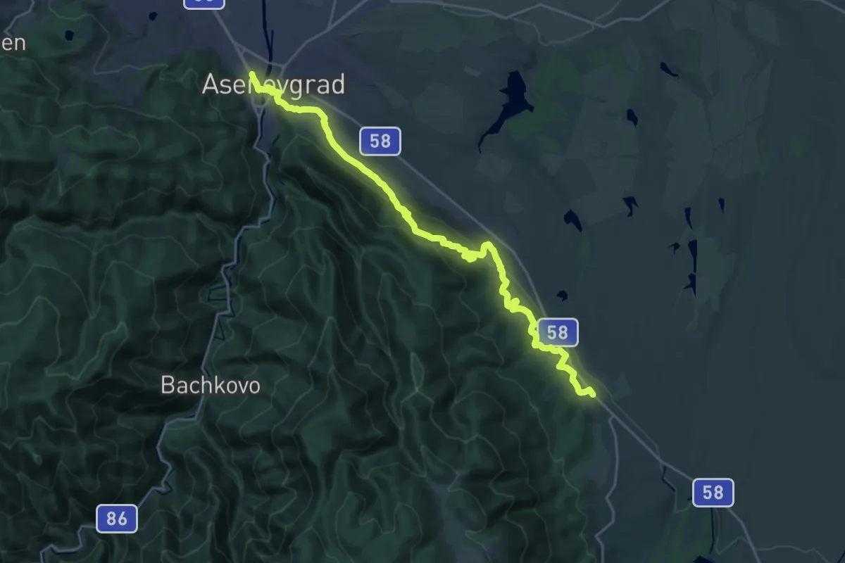
Medium · Trail
ST713 Asenovgrad - Cherven
13.1 km · ↑ 332 m · 4 h 5 min
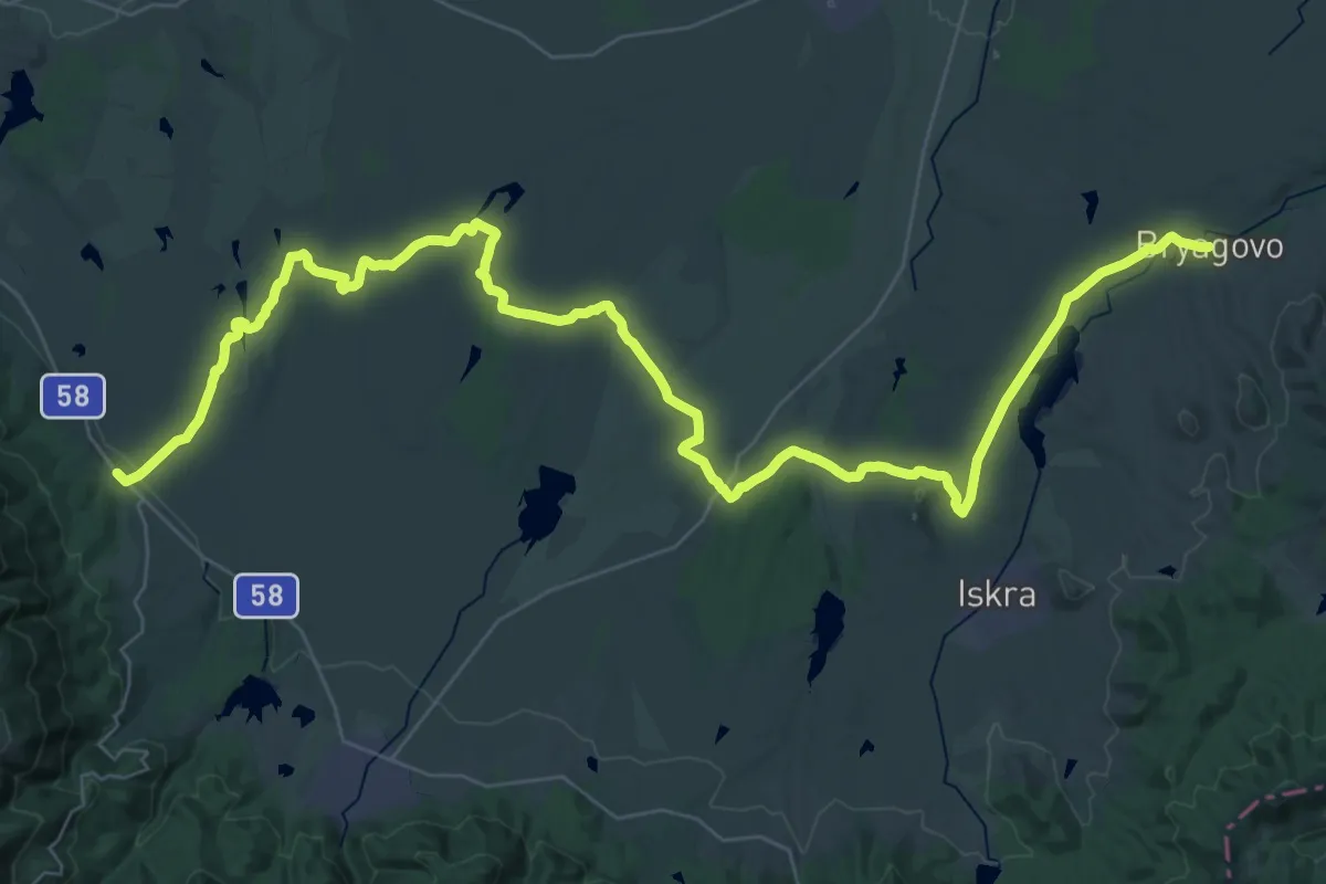
Demanding · Trail
ST714 Cherven - Bryagovo
29.7 km · ↑ 202 m · 7 h 57 min
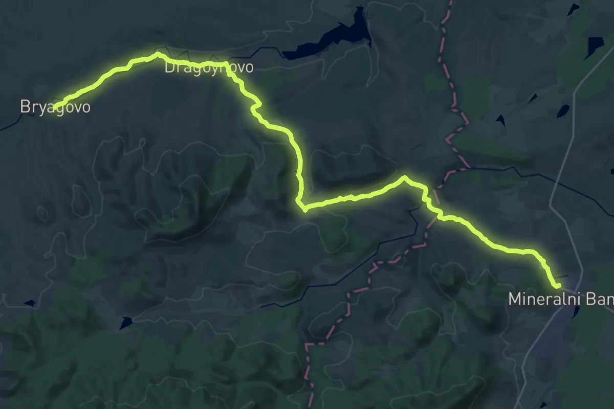
Demanding · Trail
ST715 Bryagovo - Mineralni Bani
20.1 km · ↑ 315 m · 5 h 41 min
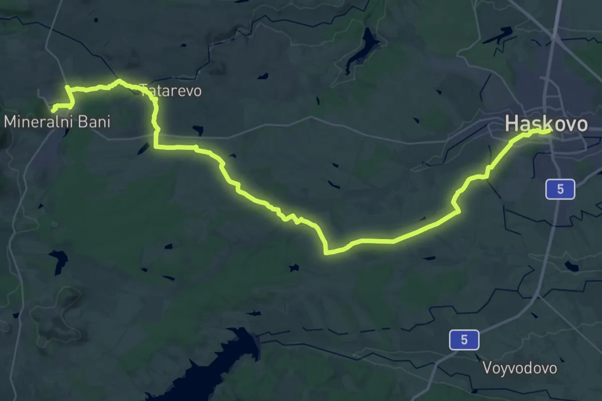
Demanding · Trail
ST716 Mineralni bani - Haskovo
25.3 km · ↑ 227 m · 6 h 52 min
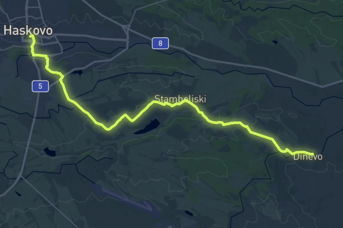
Medium · Trail
ST717 Haskovo - Dinevo
16.4 km · ↑ 158 m · 4 h 27 min
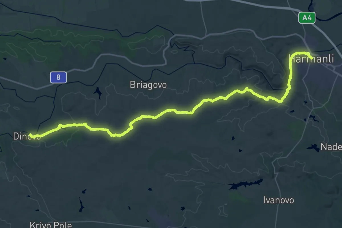
Demanding · Trail
ST718 Dinevo - Harmanli
22.9 km · ↑ 432 m · 6 h 37 min
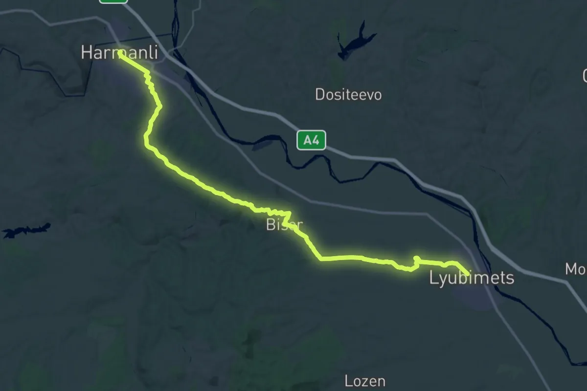
Demanding · Trail
ST719 Harmanli - Lyubimets
22.6 km · ↑ 268 m · 6 h 14 min
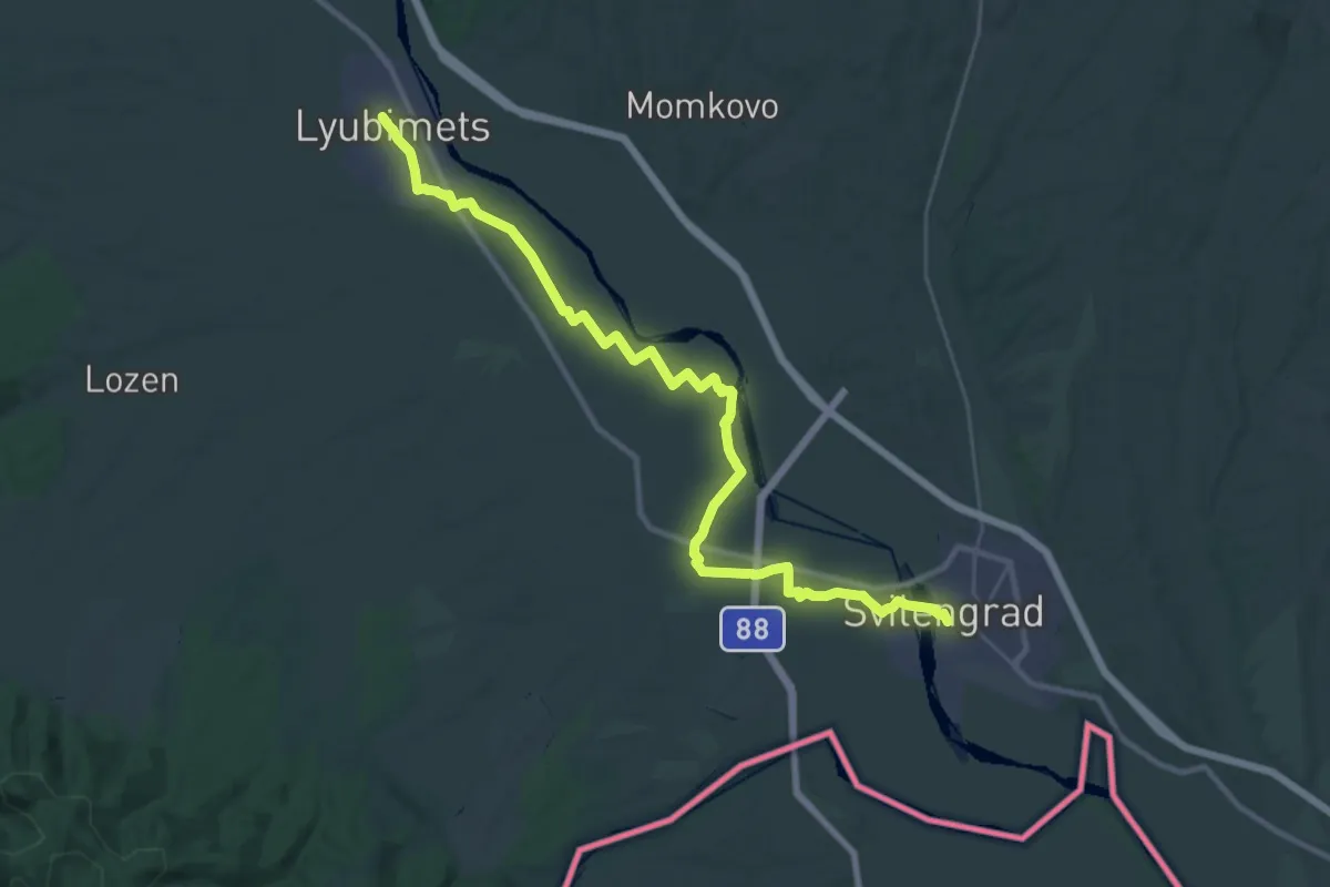
Demanding · Trail
ST720 Lyubimets-Svilengrad
18.5 km · ↑ 12 m · 4 h 40 min
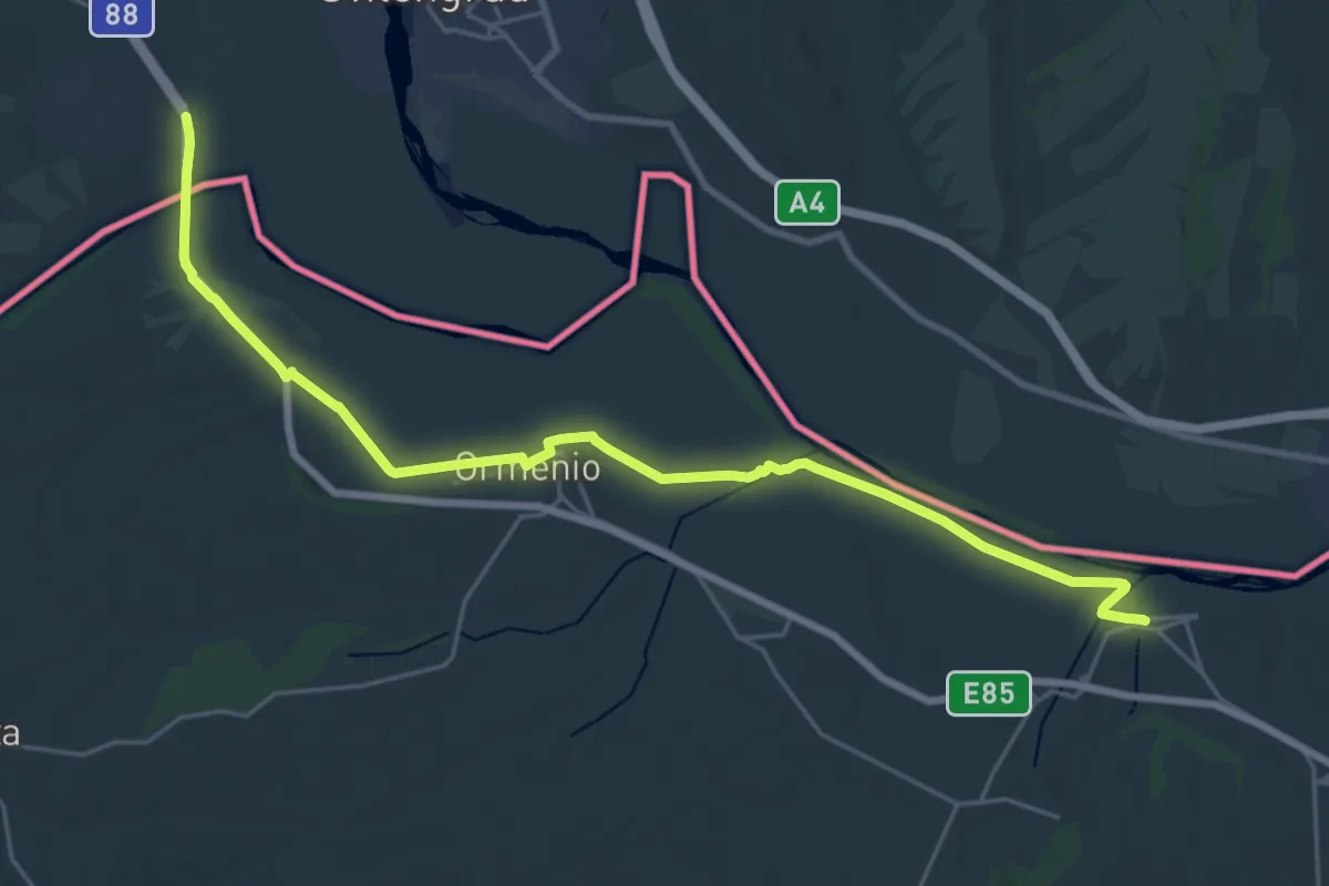
Demanding · Trail
ST721 Svilengrad - Dikaia
29.4 km · ↑ 85 m · 7 h 8 min
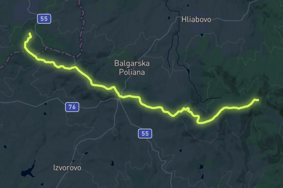
Demanding · Trail
SYTHER - Sakar-Yildiz Trans-European Hiking Route
22.2 km · ↑ 337 m · 6 h 23 min
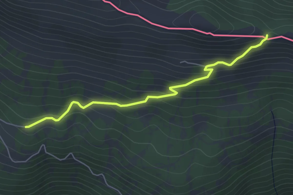
Easy · Trail
to Kalampaka (Καλαμπάκa)
5.4 km · ↑ 301 m · 1 h 55 min
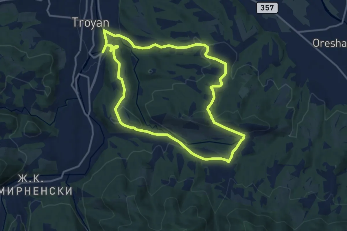
Medium · Trail
Troyan Run 12 km
10.0 km · ↑ 262 m · 3 h 4 min
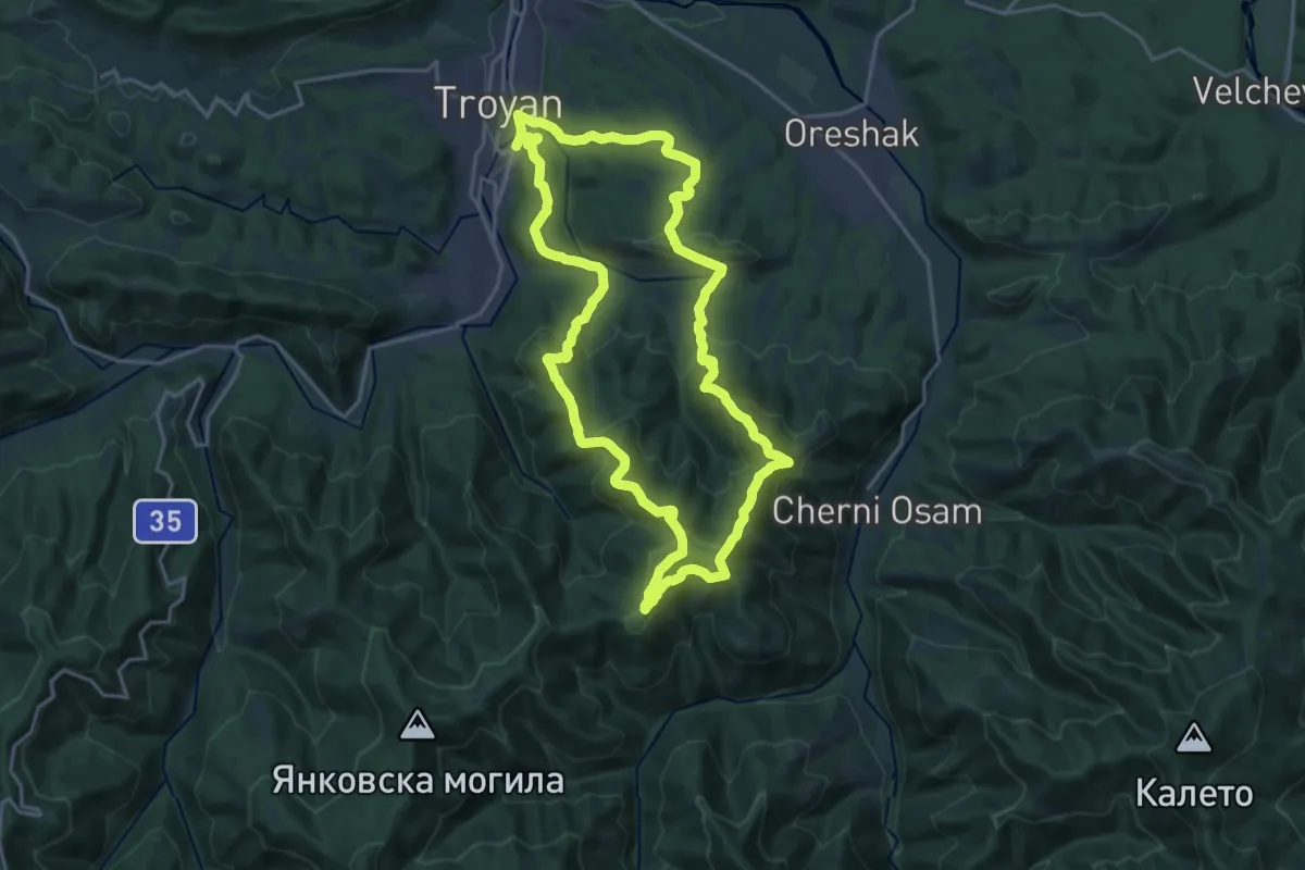
Demanding · Summit
Troyan Run 28 km
20.7 km · ↑ 887 m · 7 h 6 min
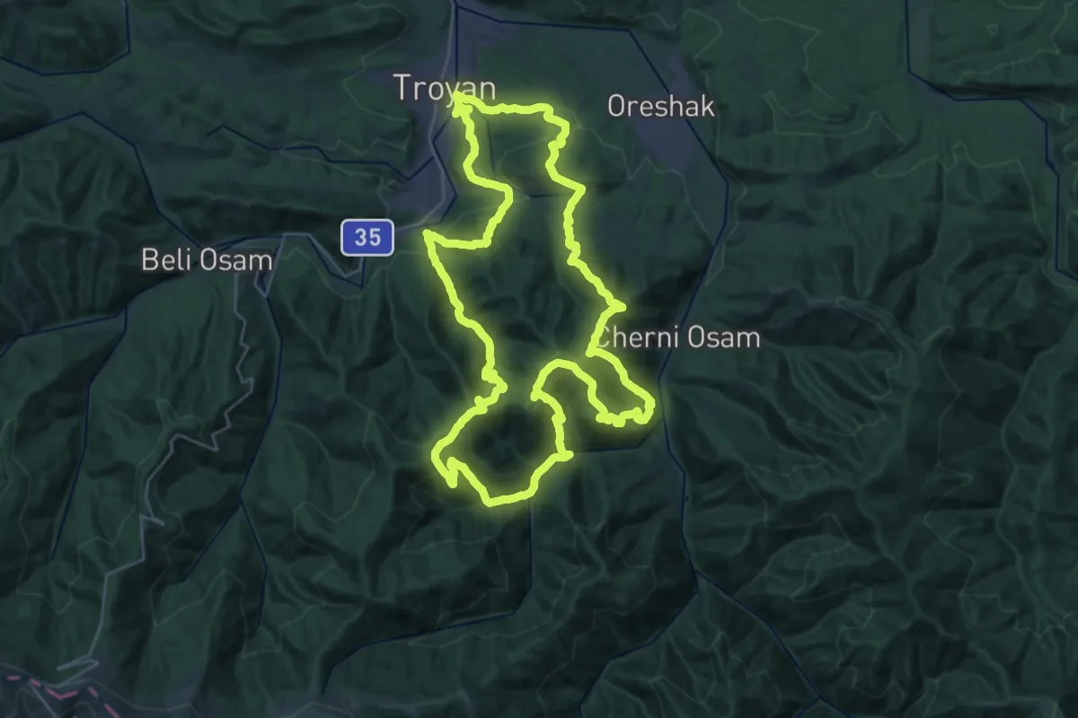
Demanding · Summit
Troyan Run 41 km
35.0 km · ↑ 1981 m · 13 h 3 min
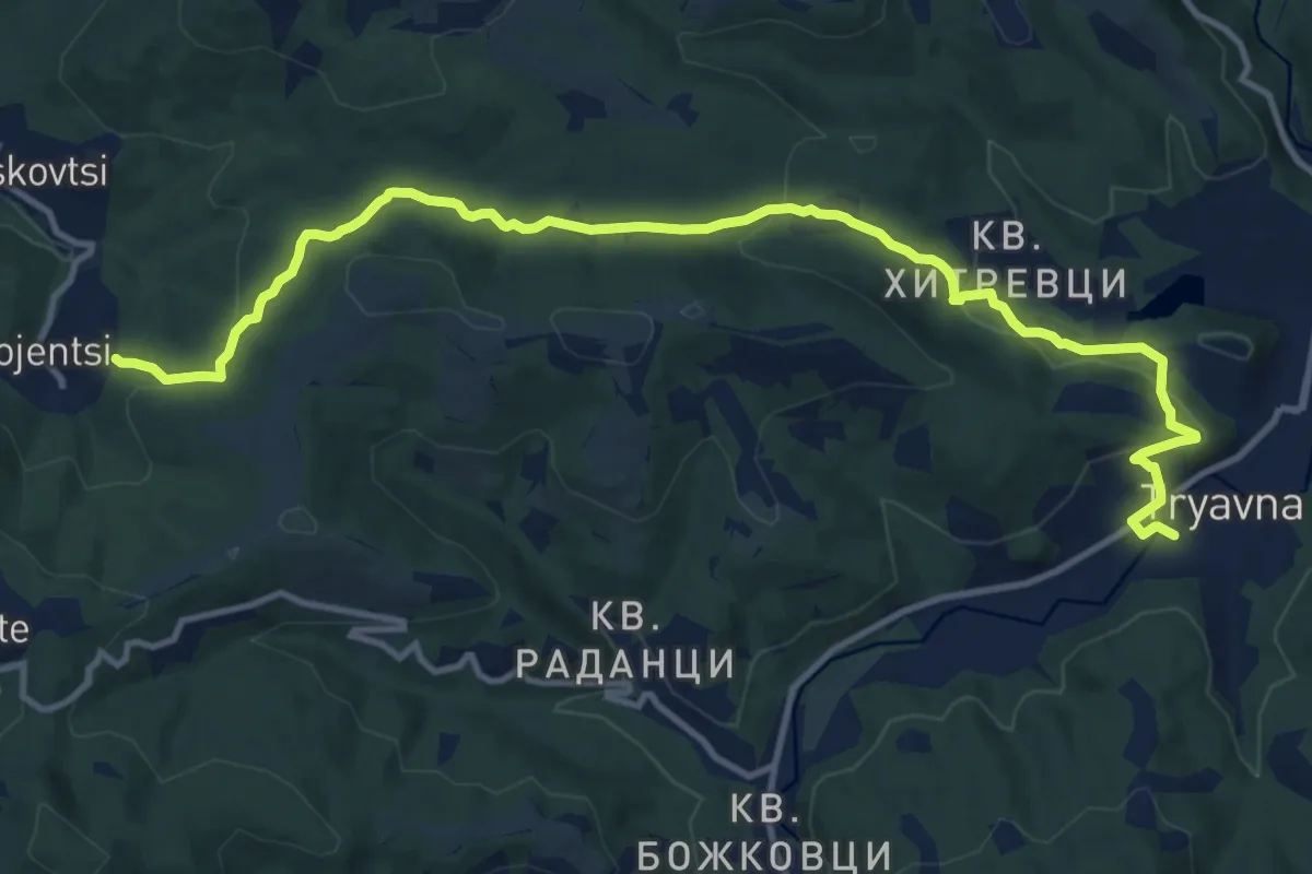
Medium · Trail
Tryavana -Bozhentsi
15.0 km · ↑ 443 m · 4 h 30 min
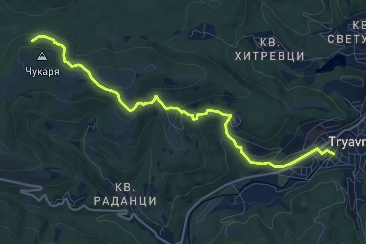
Medium · Trail
Tryavana - Cherni vruh Peak
10.6 km · ↑ 312 m · 3 h 10 min
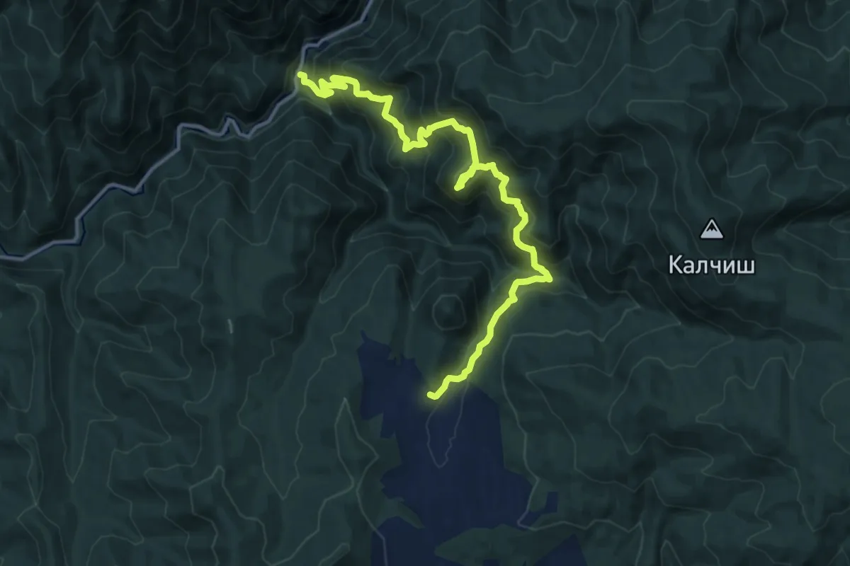
Demanding · Trail
Tsepina fortress - Tespina train station
16.0 km · ↑ 1230 m · 6 h 26 min
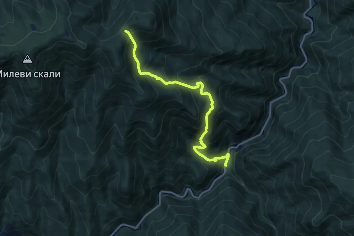
Demanding · Trail
Tsepina station - Fenera
9.6 km · ↑ 1066 m · 4 h 35 min
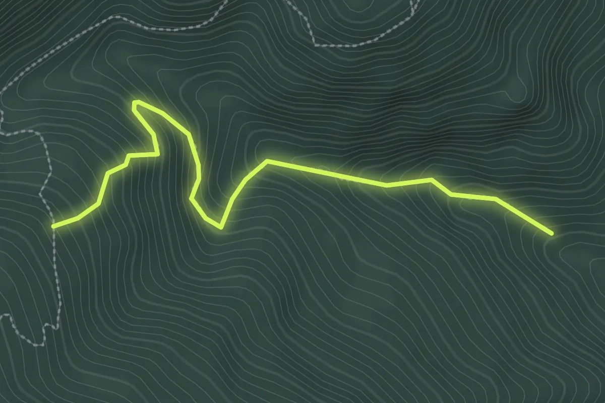
Medium · Trail
Varvarski bani - Ravno bore hut
3.3 km · ↑ 374 m · 1 h 36 min