Trails in Canada
1,109 hiking trails, each with its route, climb, walking time and grade.
All trails, page 22 of 24
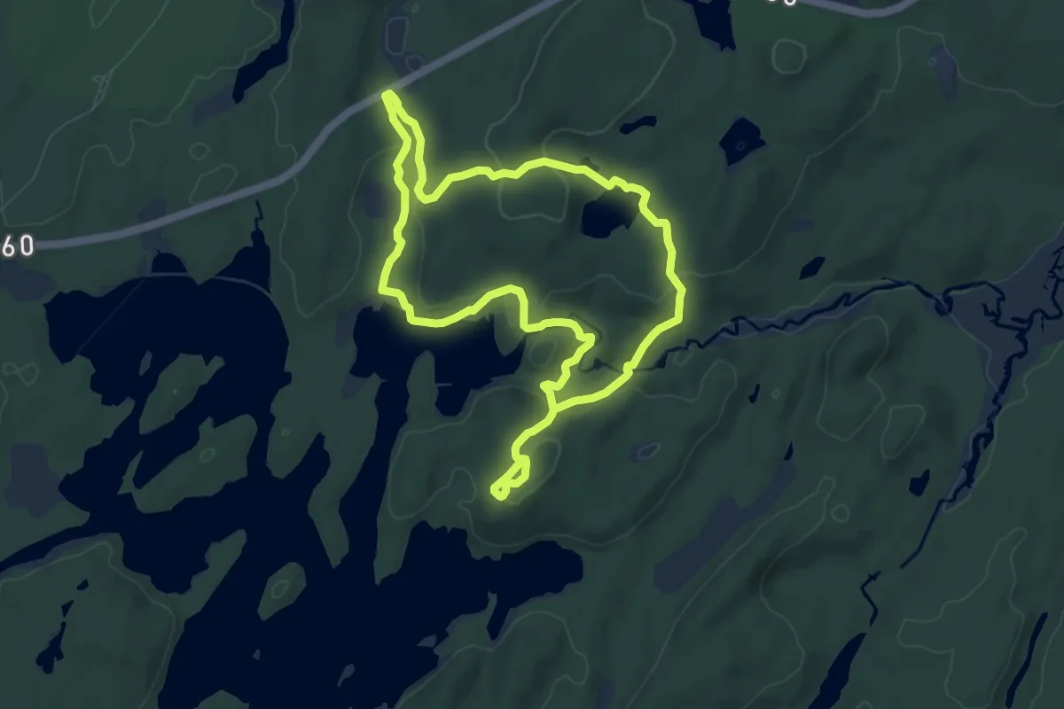
Medium · Trail
Track and Tower Trail
14.8 km · ↑ 411 m · 4 h 23 min
Easy · Trail
Trail of Hope
2.7 km · ↑ 13 m · 42 min
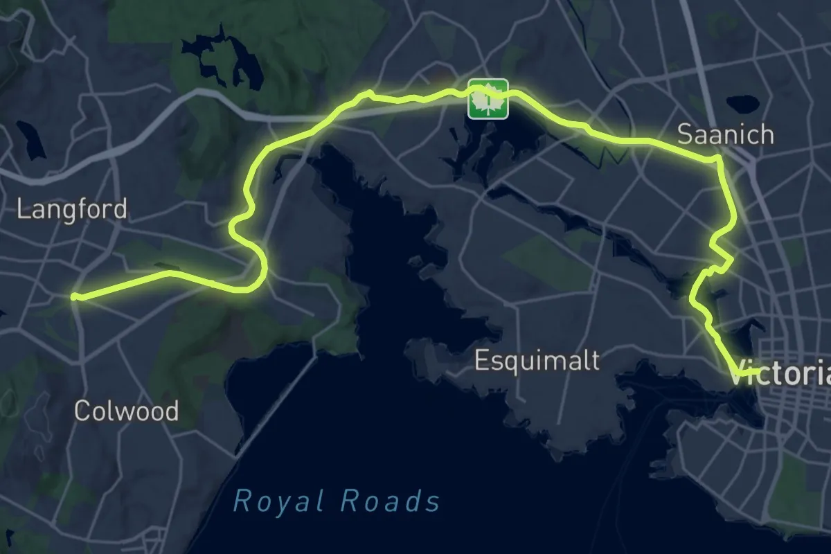
Medium · Trail
Trans-Canada Trail - Galloping Goose Regional Trail
16.8 km · ↑ 156 m · 4 h 31 min
Demanding · Summit
Transkékéko
23.4 km · ↑ 732 m · 7 h 7 min
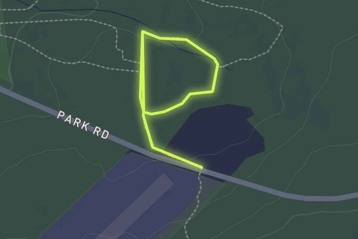
Easy · Trail
Tree-O-Trail
1.4 km · ↑ 38 m · 25 min
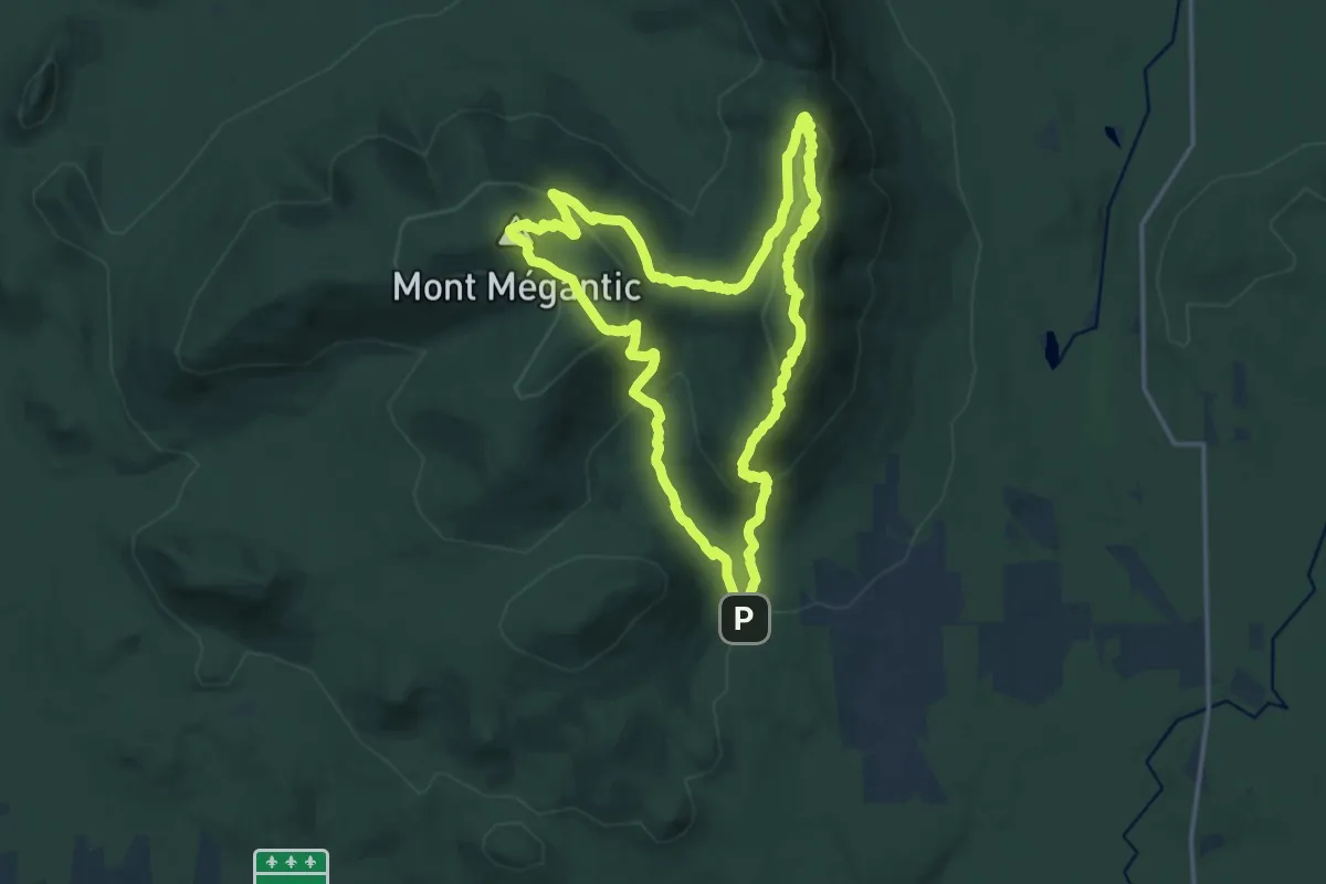
Medium · Summit
Trois Sommets
16.0 km · ↑ 741 m · 5 h 36 min
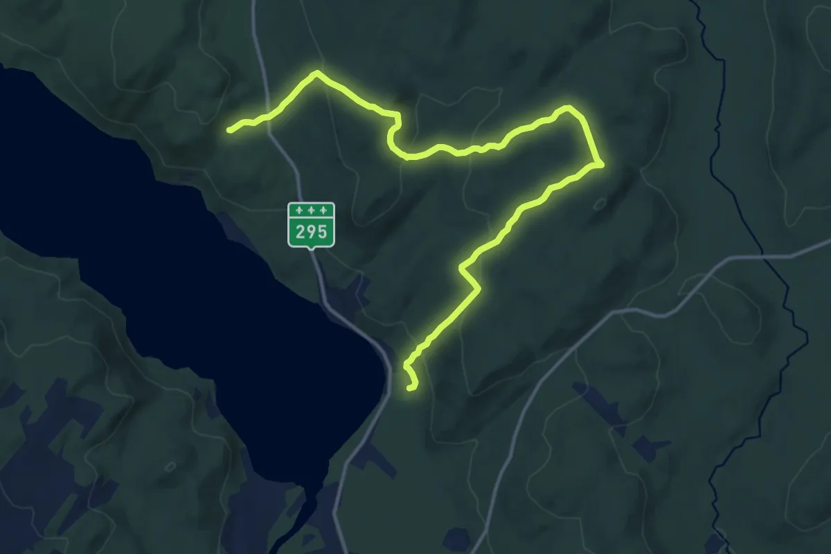
Medium · Trail
Tronçon Dégelis
16.2 km · ↑ 634 m · 5 h 12 min
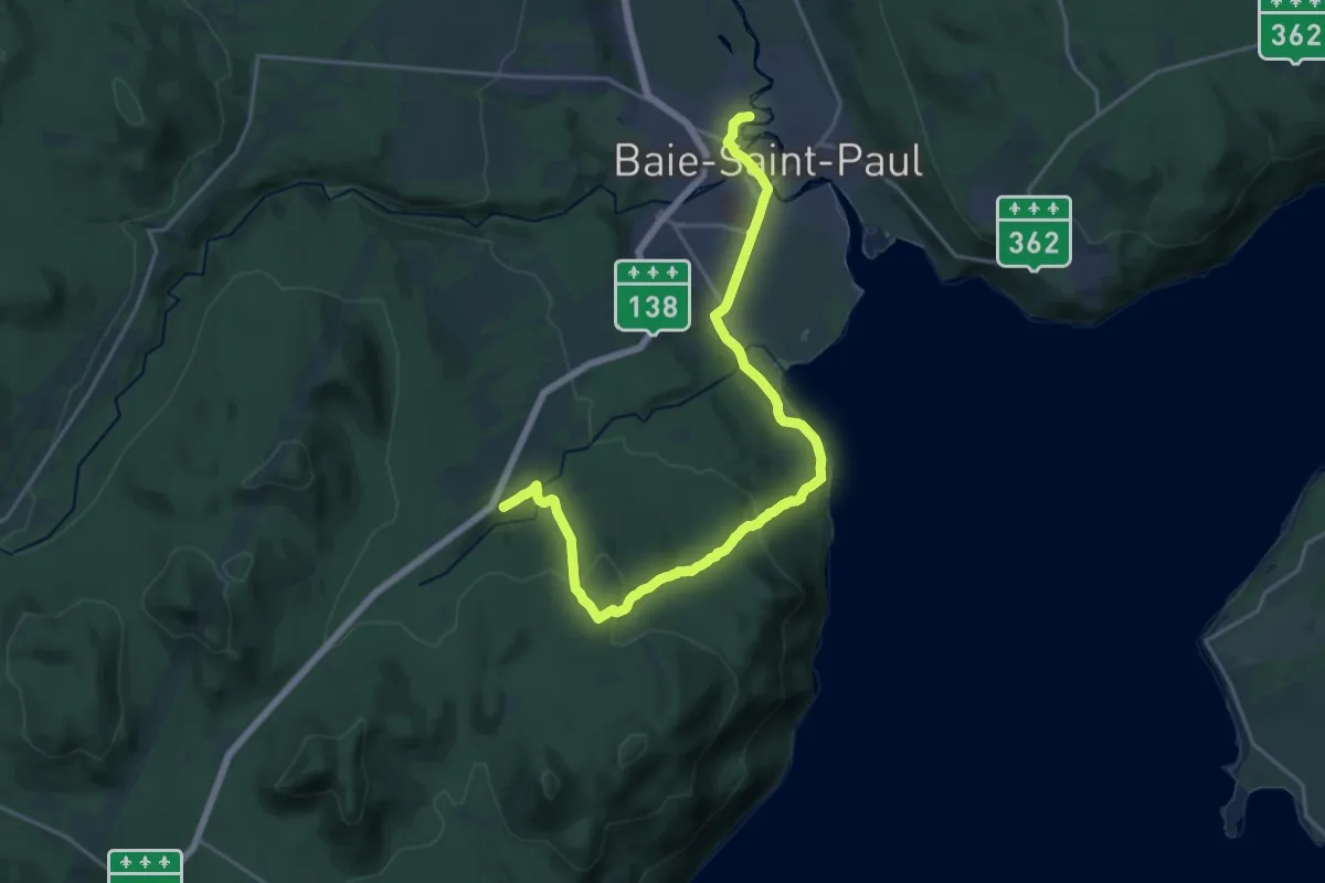
Demanding · Trail
Tronçon De la Baie
22.9 km · ↑ 676 m · 6 h 52 min
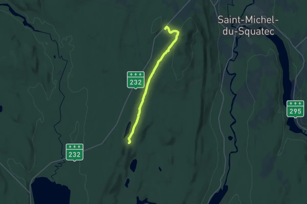
Medium · Trail
Tronçon Lac Anna
14.9 km · ↑ 299 m · 4 h 9 min
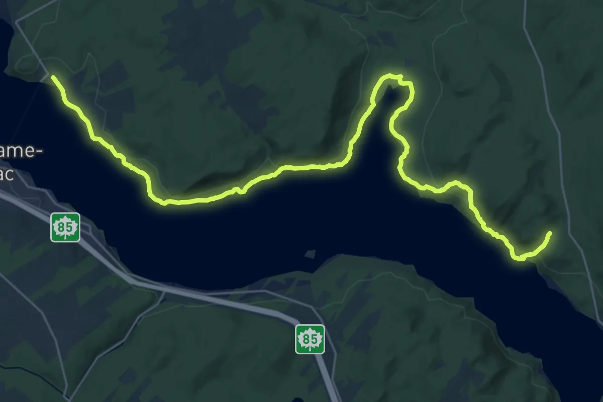
Medium · Trail
Tronçon la Grande Baie
16.0 km · ↑ 292 m · 4 h 36 min
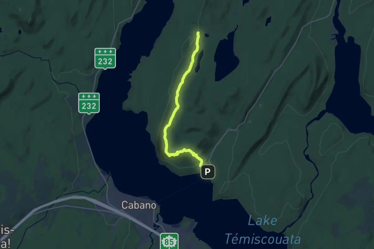
Demanding · Cabin
Tronçon la Montagne à Fourneau
19.4 km · ↑ 589 m · 5 h 51 min
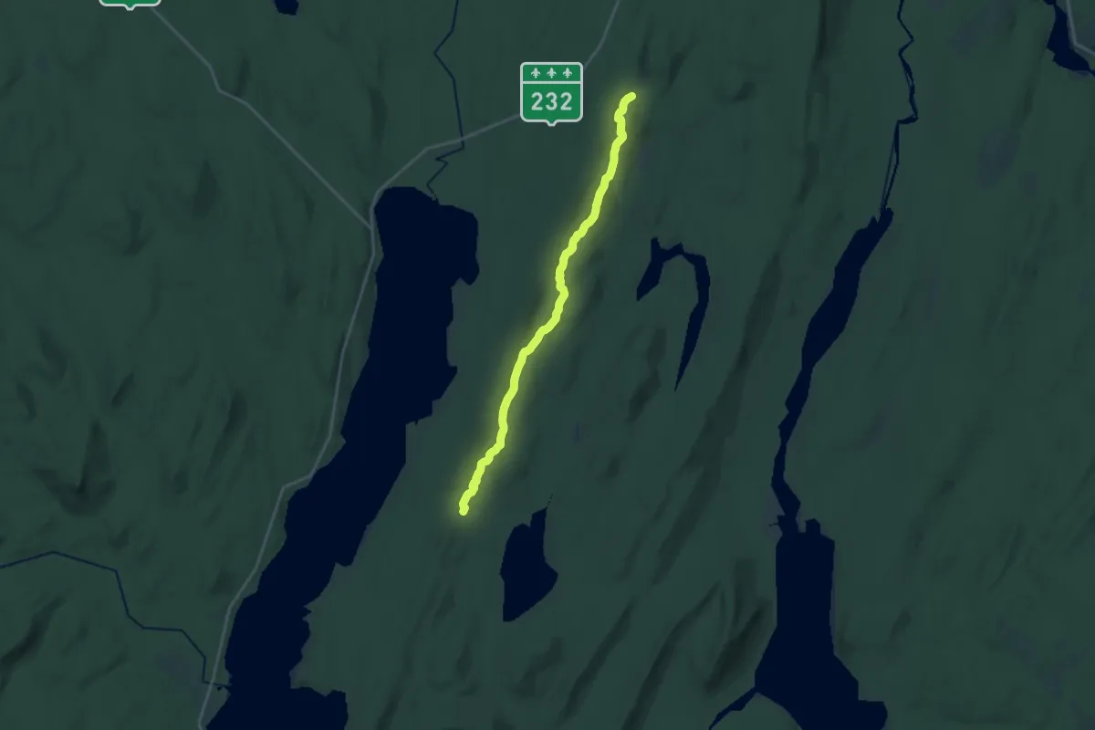
Demanding · Cabin
Tronçon les Cascades Sutherland
19.1 km · ↑ 512 m · 5 h 37 min
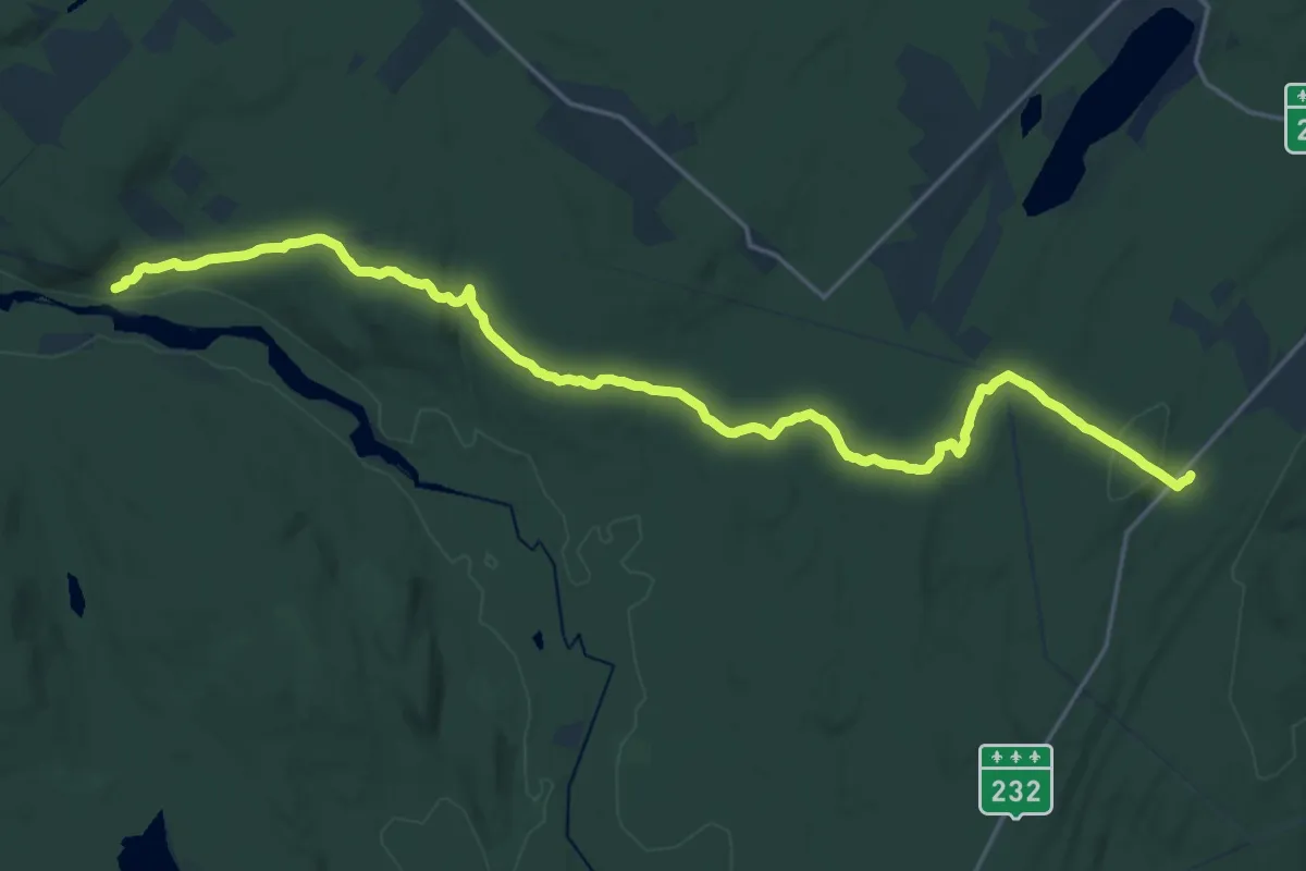
Demanding · Trail
Tronçon Les Érables
23.5 km · ↑ 558 m · 6 h 45 min
Demanding · Trail
Tronçon Littoral Basque
23.7 km · ↑ 254 m · 6 h 9 min
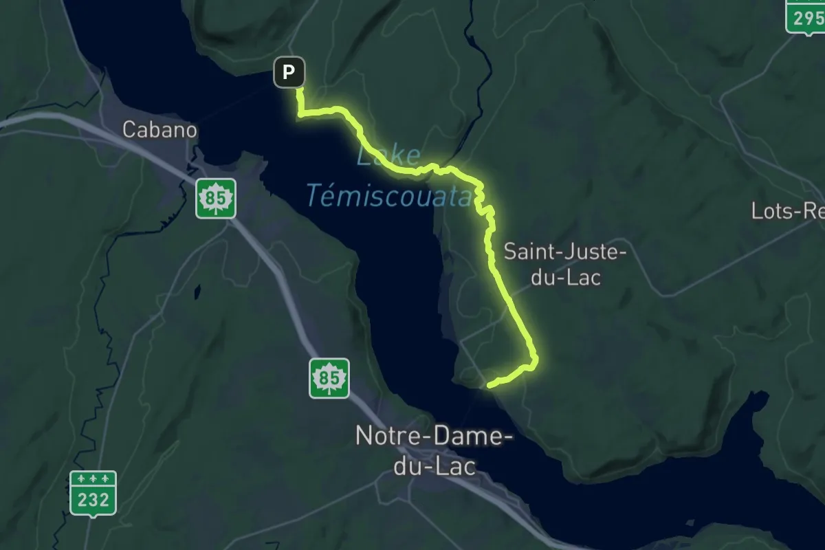
Demanding · Trail
Tronçon Rivière Touladi
27.5 km · ↑ 457 m · 7 h 28 min
Demanding · Trail
Tronçon Rivière Trois-Pistoles
25.2 km · ↑ 526 m · 7 h 5 min
Demanding · Trail
Tronçon Sénescoupé
22.3 km · ↑ 212 m · 5 h 43 min
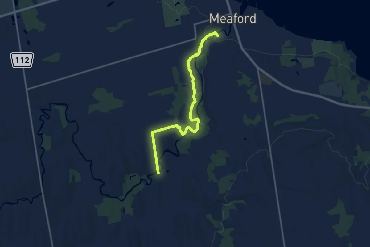
Medium · Trail
Trout Hollow trail
10.9 km · ↑ 111 m · 2 h 48 min
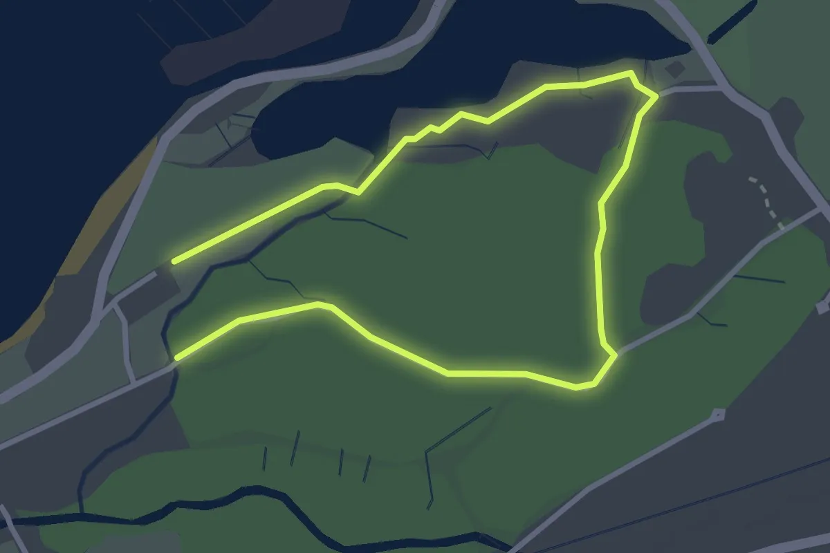
Easy · Trail
Trout Lily Trail
4.8 km · ↑ 0 m · 1 h 9 min
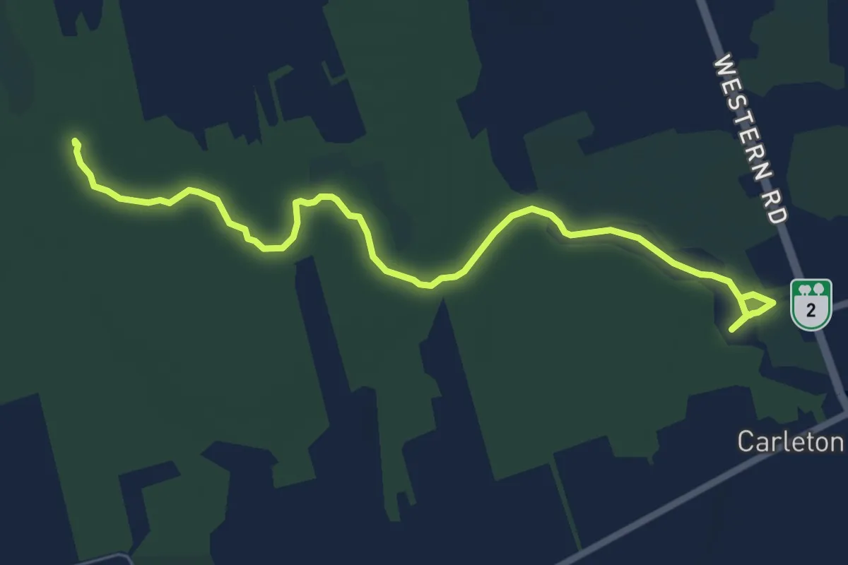
Easy · Trail
Trout River Natural Area Trail
7.0 km · ↑ 0 m · 1 h 39 min
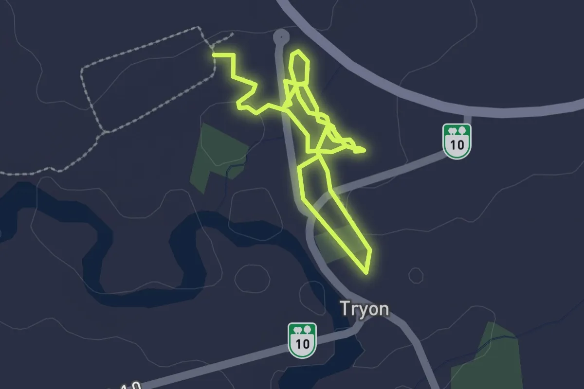
Easy · Trail
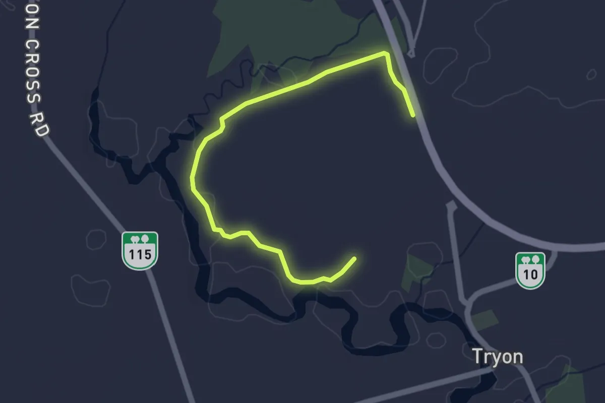
Tryon River Trail
3.9 km · ↑ 4 m · 56 min
Easy · Trail
Tryon Trail Extension
4.1 km · ↑ 14 m · 1 h
Easy · Trail
Tucker's Field Trails
7.7 km · ↑ 0 m · 1 h 49 min
Medium · Trail
Tunnel Bluffs Trail
7.2 km · ↑ 723 m · 3 h 16 min
Medium · Summit
Tunnel Mountain Summit Trail
4.2 km · ↑ 449 m · 1 h 58 min
Easy · Trail
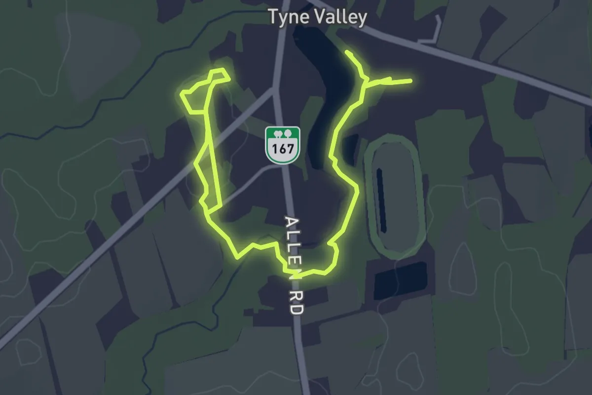
Tyne Valley Community Trail
5.2 km · ↑ 38 m · 1 h 18 min
Demanding · Trail
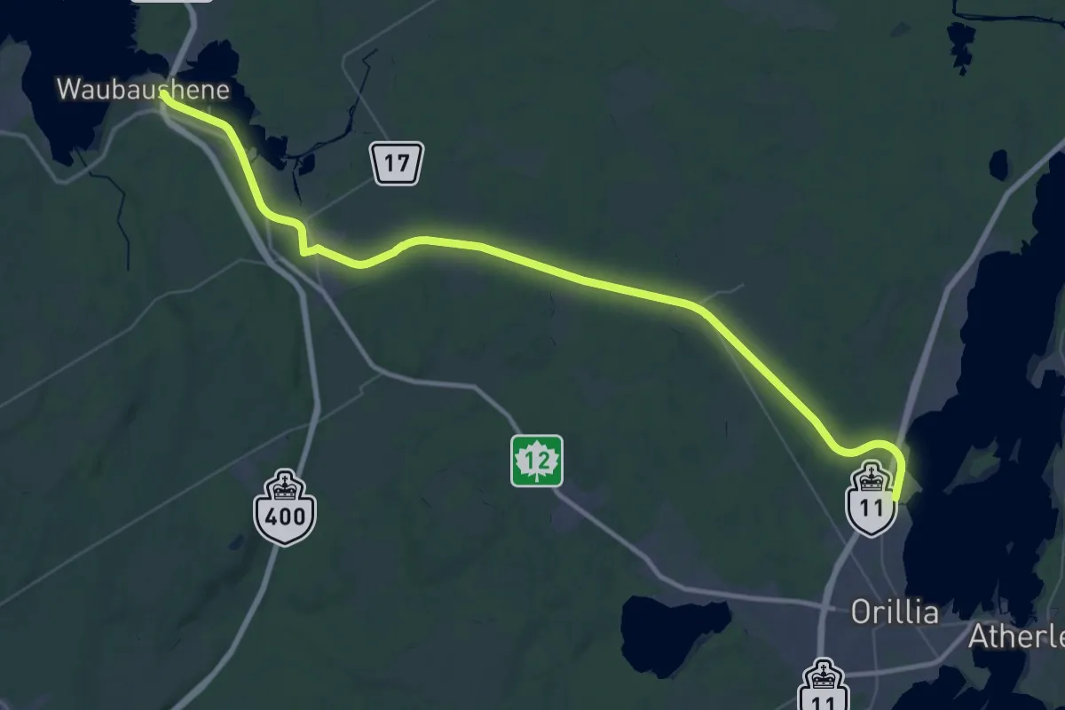
Uhthoff Trail (hiking)
29.5 km · ↑ 68 m · 7 h 29 min
Easy · Trail
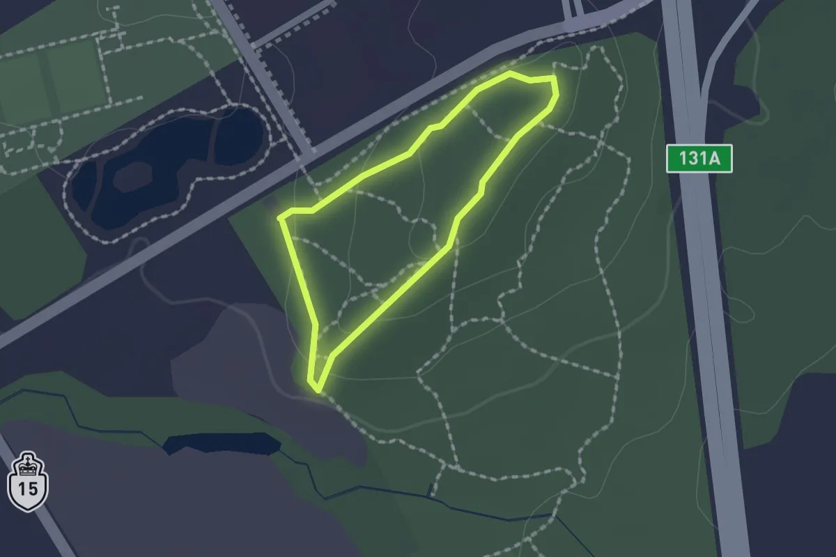
Uplands Trail
1.3 km · ↑ 27 m · 23 min
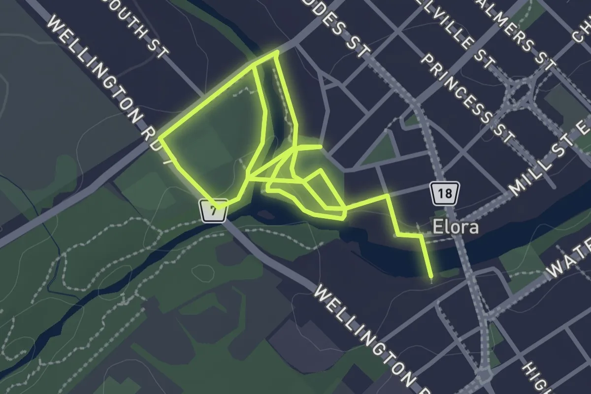
Easy · Trail
Upper Grand Gorge Trail
5.0 km · ↑ 114 m · 1 h 25 min
Medium · Trail
Upper Myra Falls Trail
4.9 km · ↑ 326 m · 1 h 52 min
Easy · Trail
Upper Panorama
2.4 km · ↑ 88 m · 46 min
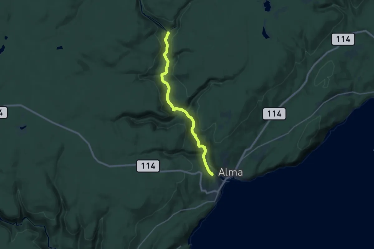
Medium · Trail
Upper Salmon River Trail
15.6 km · ↑ 318 m · 4 h 23 min
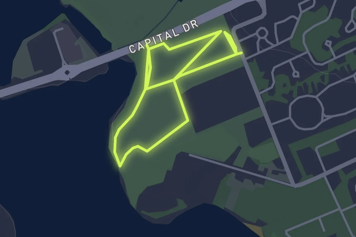
Easy · Trail
Upton Farmlands Trail
5.2 km · ↑ 31 m · 1 h 17 min
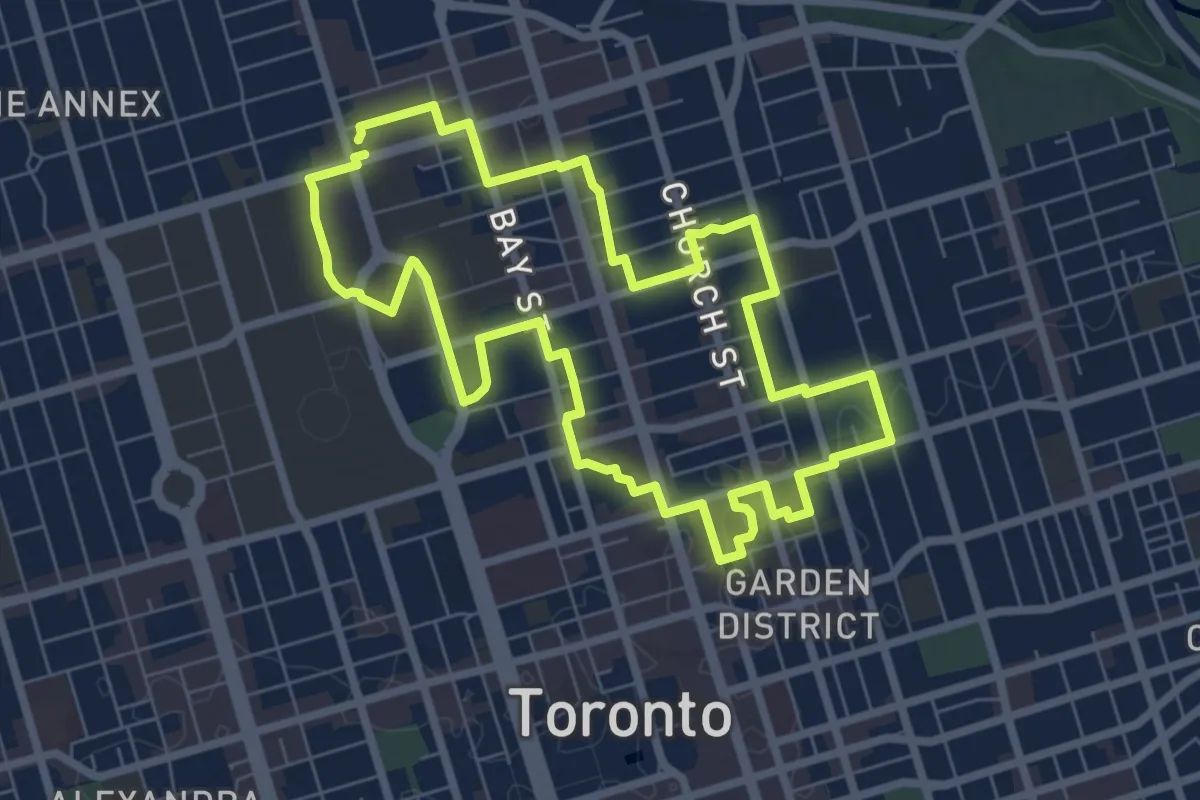
Easy · Trail
Uptown Toronto Discovery Walk
7.3 km · ↑ 17 m · 1 h 51 min
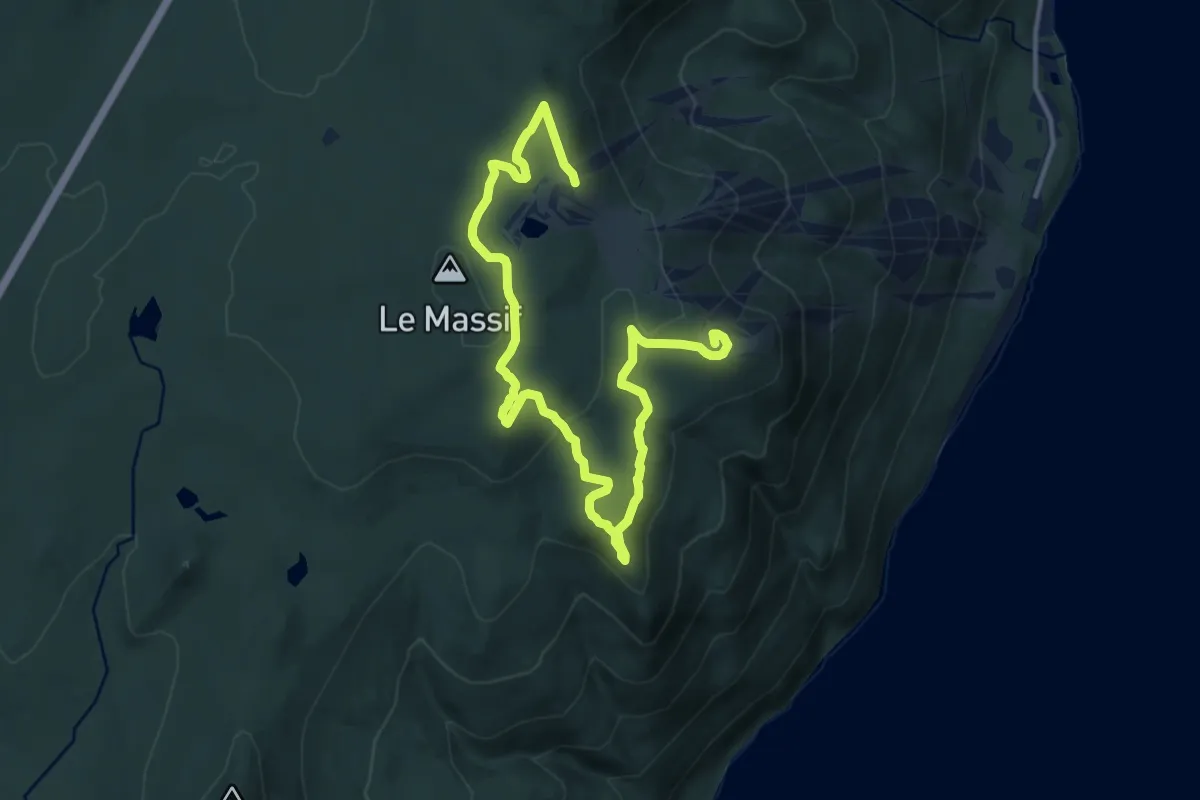
Medium · Summit
UT Harricana
16.9 km · ↑ 415 m · 4 h 53 min
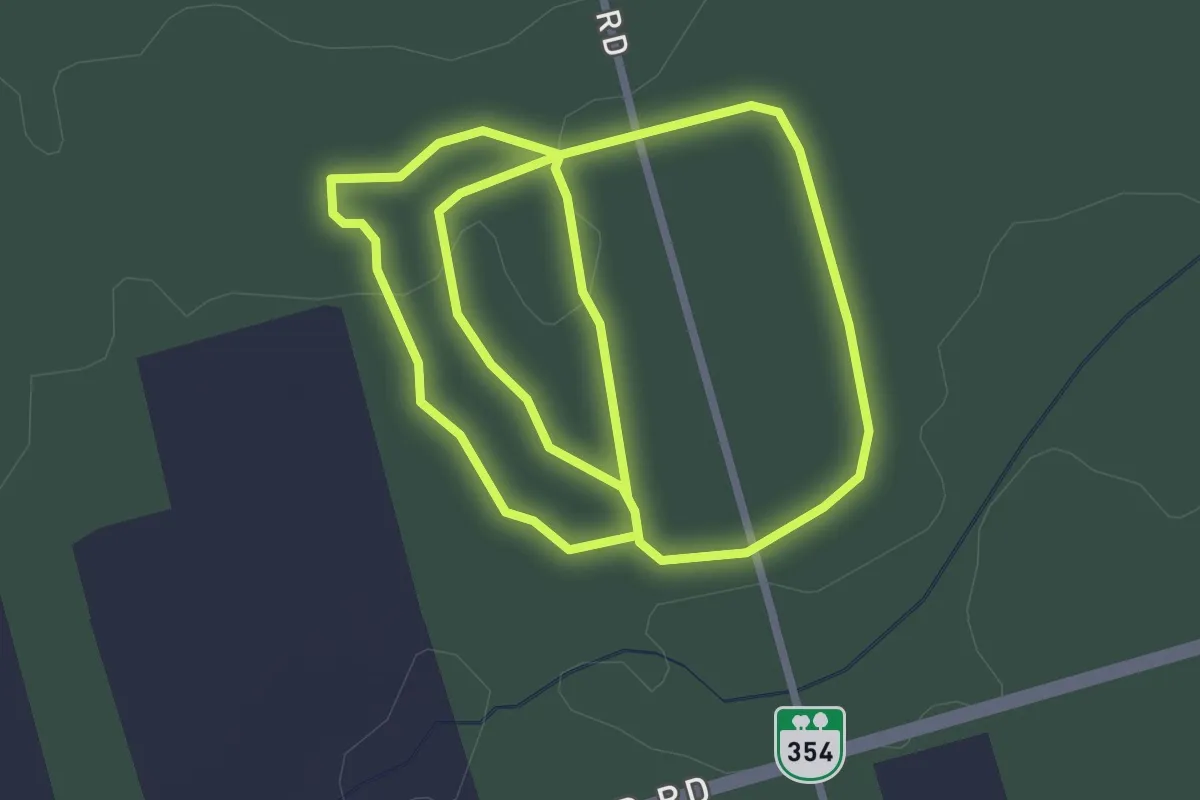
Easy · Trail
Valleyfield Woodlot Trail
2.9 km · ↑ 18 m · 46 min
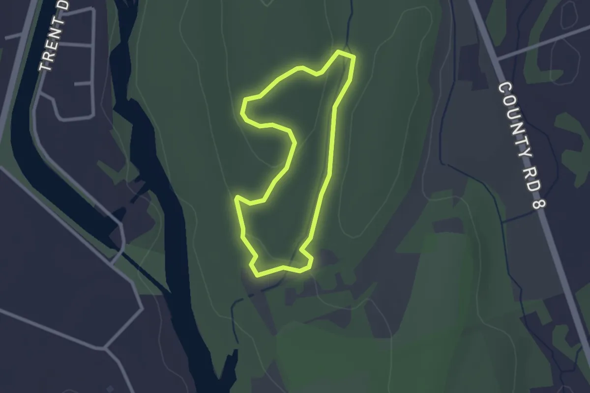
Easy · Trail
Valley Loop
2.1 km · ↑ 41 m · 37 min
Easy · Trail
Valley View Trail
2.3 km · ↑ 43 m · 39 min
Easy · Trail
Vancouver Pedway Network
3.6 km · ↑ 15 m · 53 min
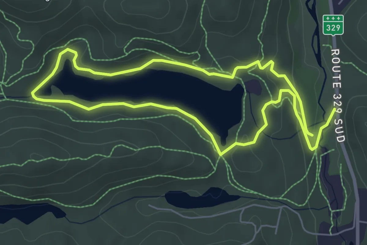
Medium · Trail
Vanier Loop
10.1 km · ↑ 147 m · 2 h 42 min
Demanding · Summit
Vermilion Peak Route
7.3 km · ↑ 1214 m · 4 h 21 min
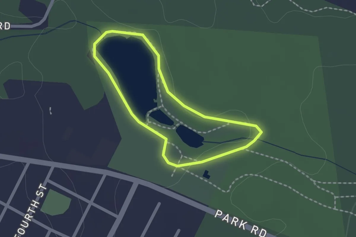
Easy · Trail
Vetrans Way
1.4 km · ↑ 0 m · 22 min
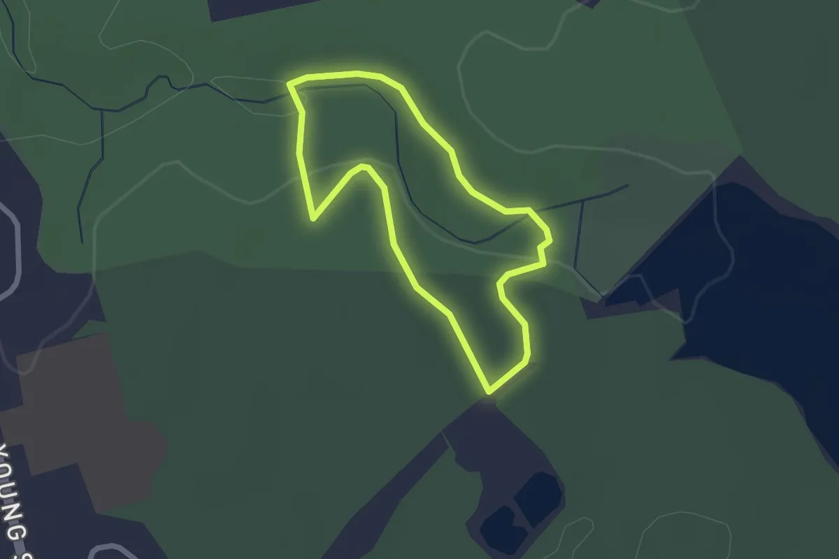
Easy · Trail
Vibert Trail
1.8 km · ↑ 42 m · 33 min
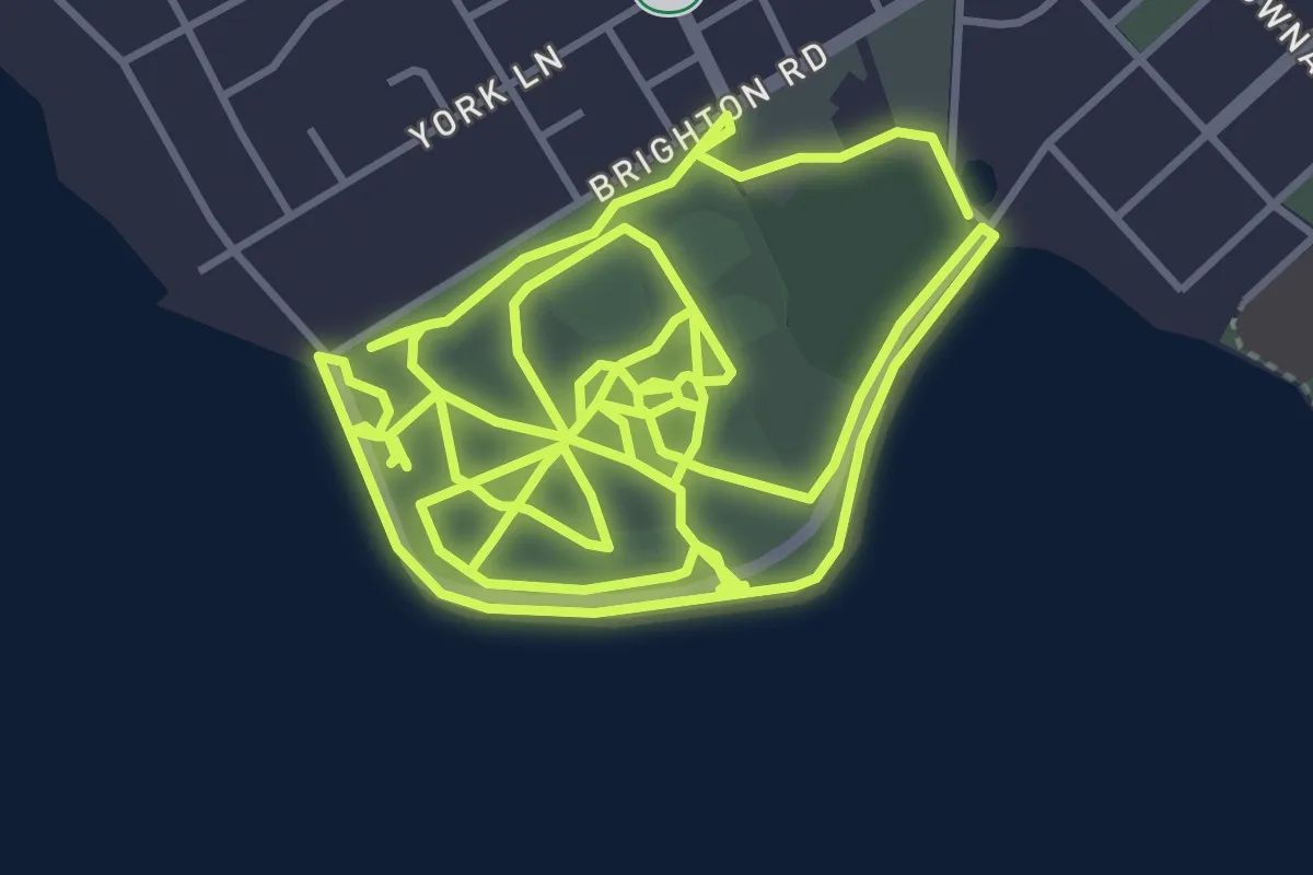
Medium · Trail
Victoria Park Trail
14.1 km · ↑ 9 m · 3 h 20 min
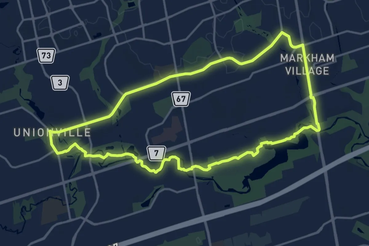
Medium · Trail
Villages & Valley (foot)
12.0 km · ↑ 57 m · 3 h 7 min
Easy · Trail
Voyageur Trail
3.9 km · ↑ 50 m · 1 h 2 min
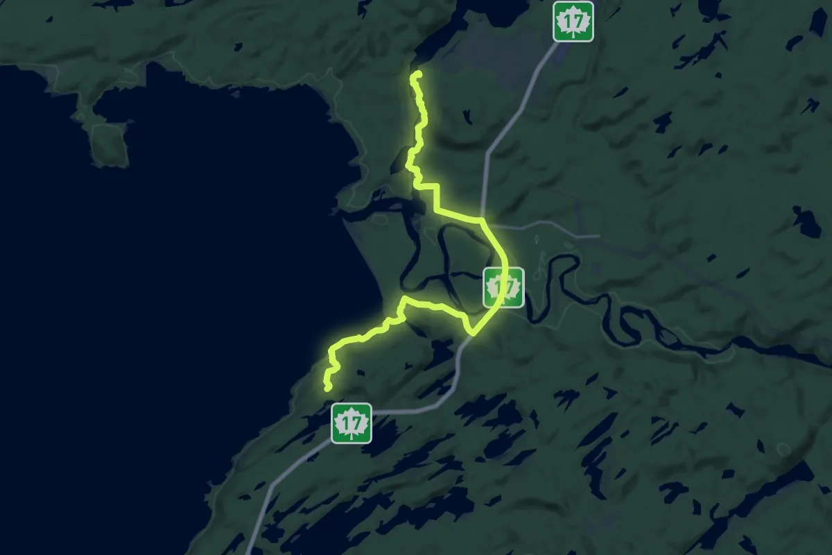
Demanding · Trail
Voyageur Trail - Michipicoten Section
24.6 km · ↑ 641 m · 7 h 11 min
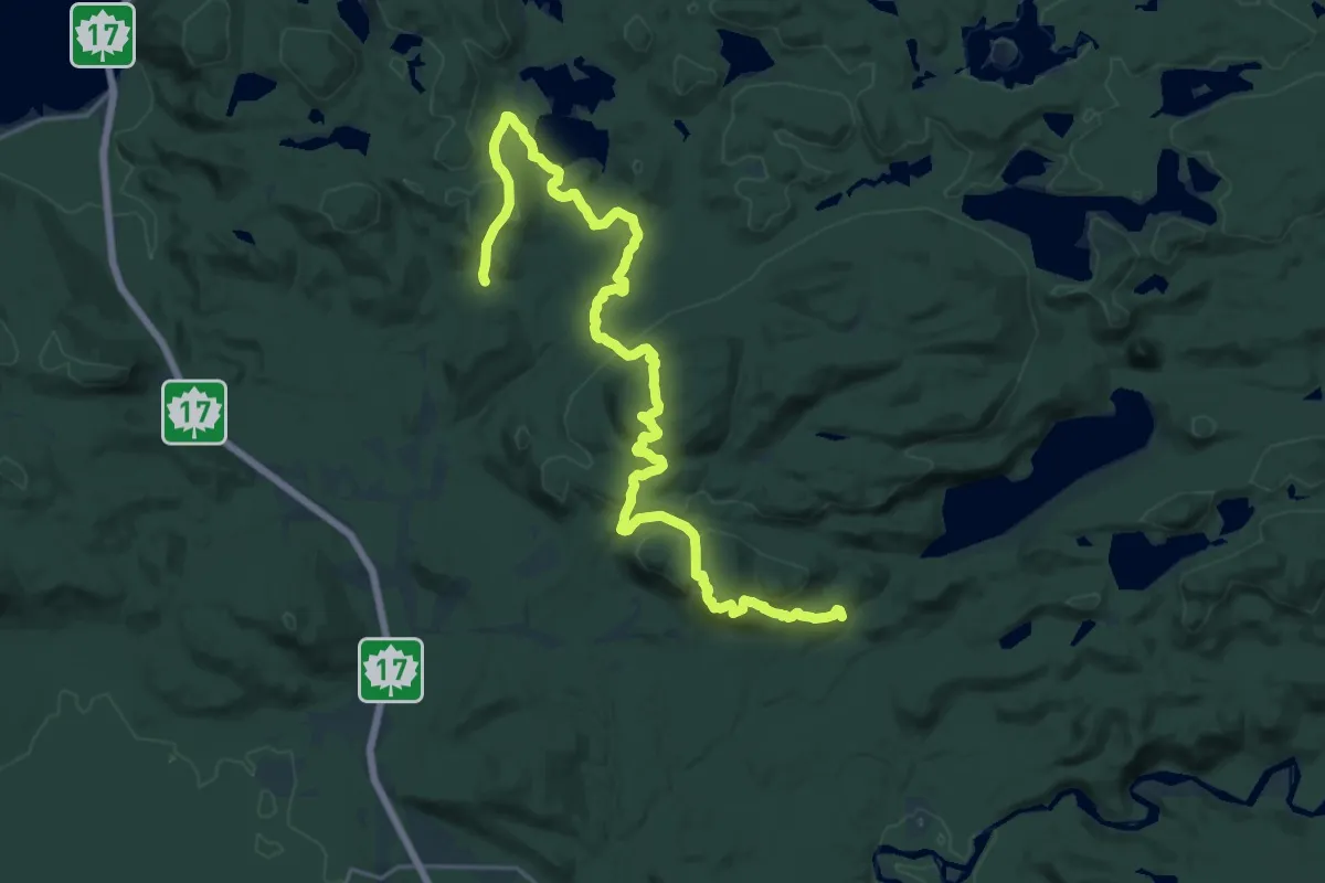
Medium · Trail
Voyageur Trail - Stokely Creek
13.0 km · ↑ 494 m · 4 h 20 min