Trails in Canada
1,109 hiking trails, each with its route, climb, walking time and grade.
All trails, page 9 of 24
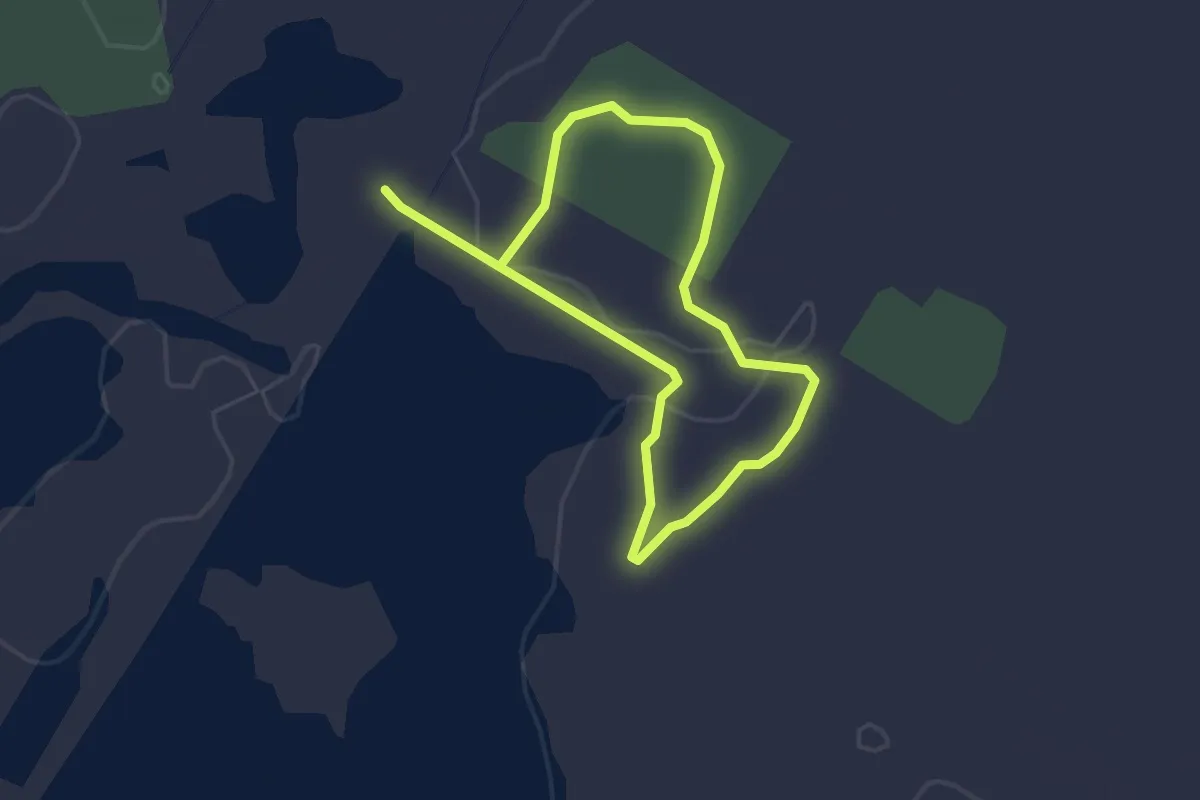
Easy · Trail
Hullett Marsh Red Trail
3.8 km · ↑ 0 m · 54 min
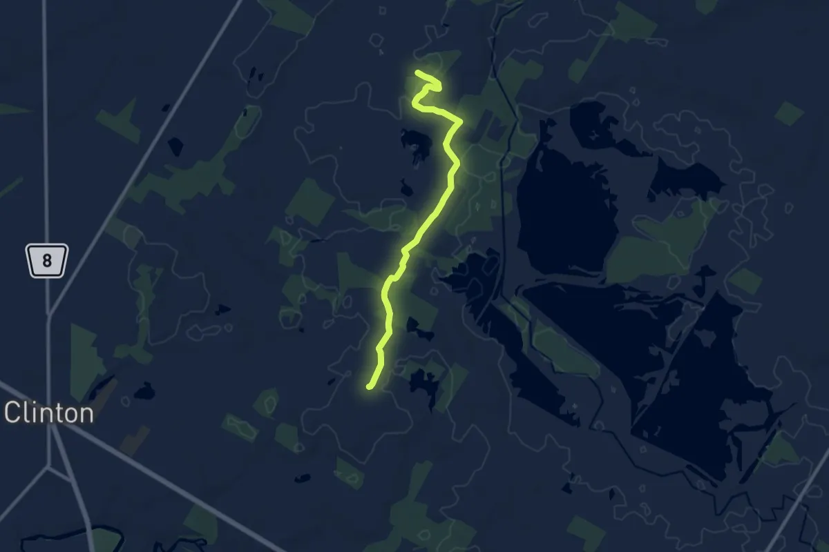
Medium · Trail
Hullett Marsh White Trail
9.4 km · ↑ 30 m · 2 h 17 min
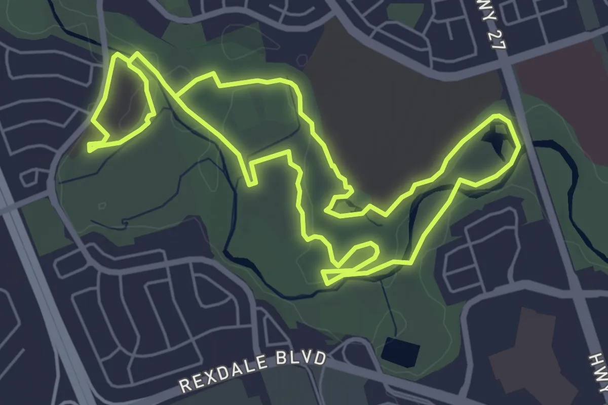
Medium · Trail
Humber Arboretum & West Humber River Valley Discovery Walk
12.0 km · ↑ 54 m · 2 h 57 min
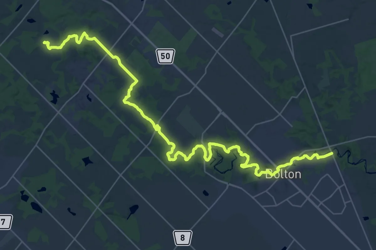
Demanding · Trail
Humber Valley Heritage Trail - Bolton Chapter
18.8 km · ↑ 318 m · 5 h 21 min
Medium · Trail
Hunt Lake Trail
12.5 km · ↑ 287 m · 3 h 35 min
Easy · Trail
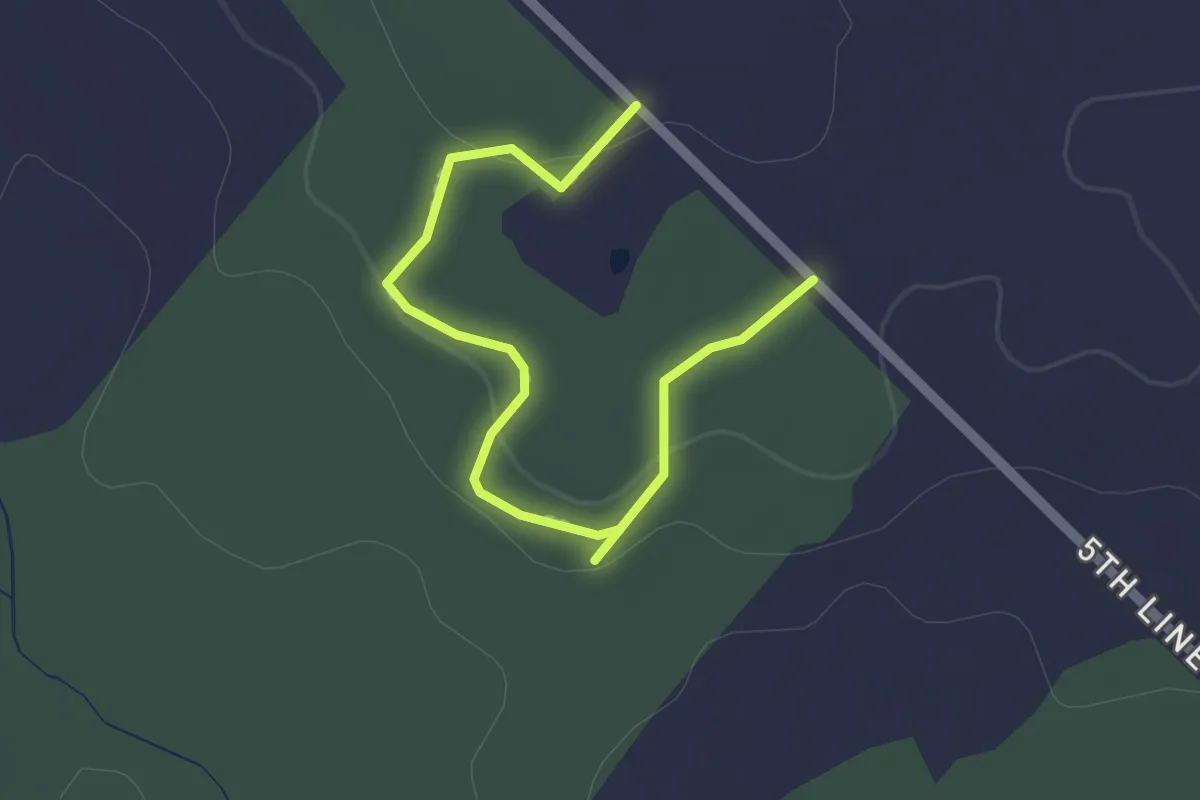
Hurkman Tract
2.4 km · ↑ 39 m · 38 min
Easy · Trail
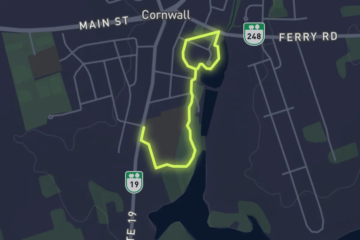
Hyde Pond Trail
3.9 km · ↑ 18 m · 57 min
Easy · Trail
Indecision Trail
7.5 km · ↑ 215 m · 2 h 14 min
Easy · Trail
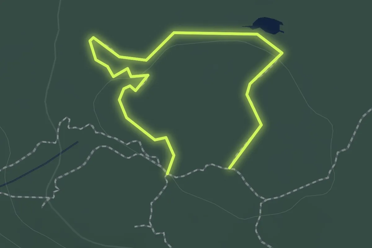
Indian Path - Blue Loop
1.4 km · ↑ 23 m · 23 min
Easy · Trail
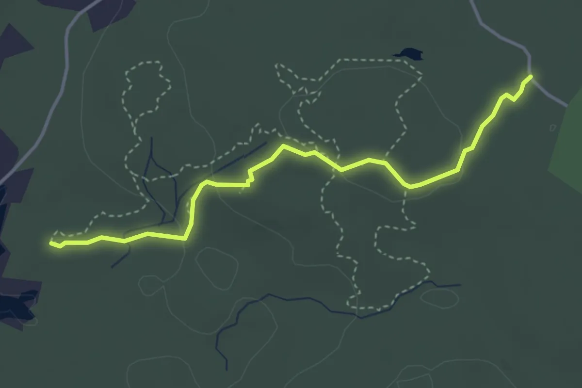
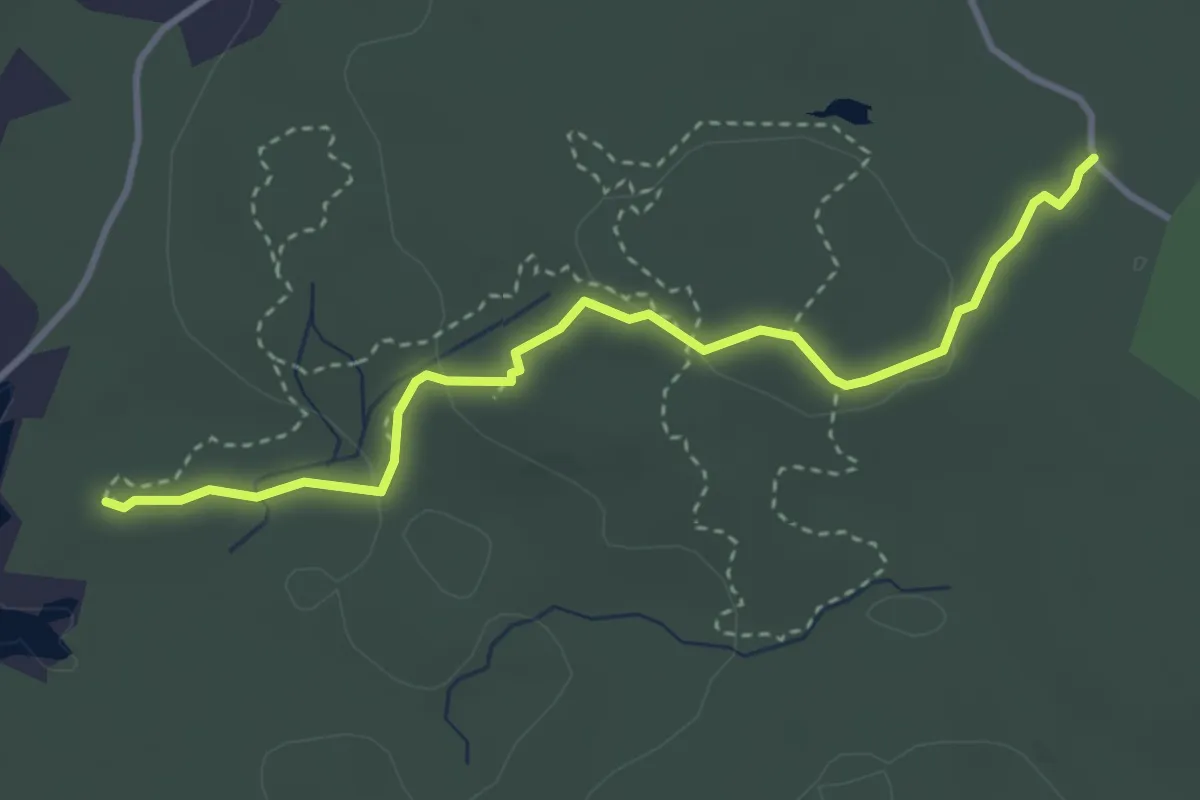
Indian Path Common
3.8 km · ↑ 66 m · 1 h 2 min
Easy · Trail
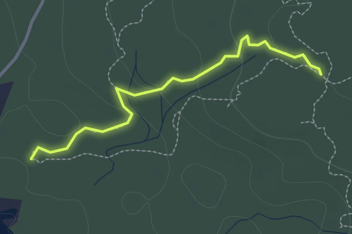
Indian Path - Green Route
3.8 km · ↑ 66 m · 1 h 2 min
Easy · Trail
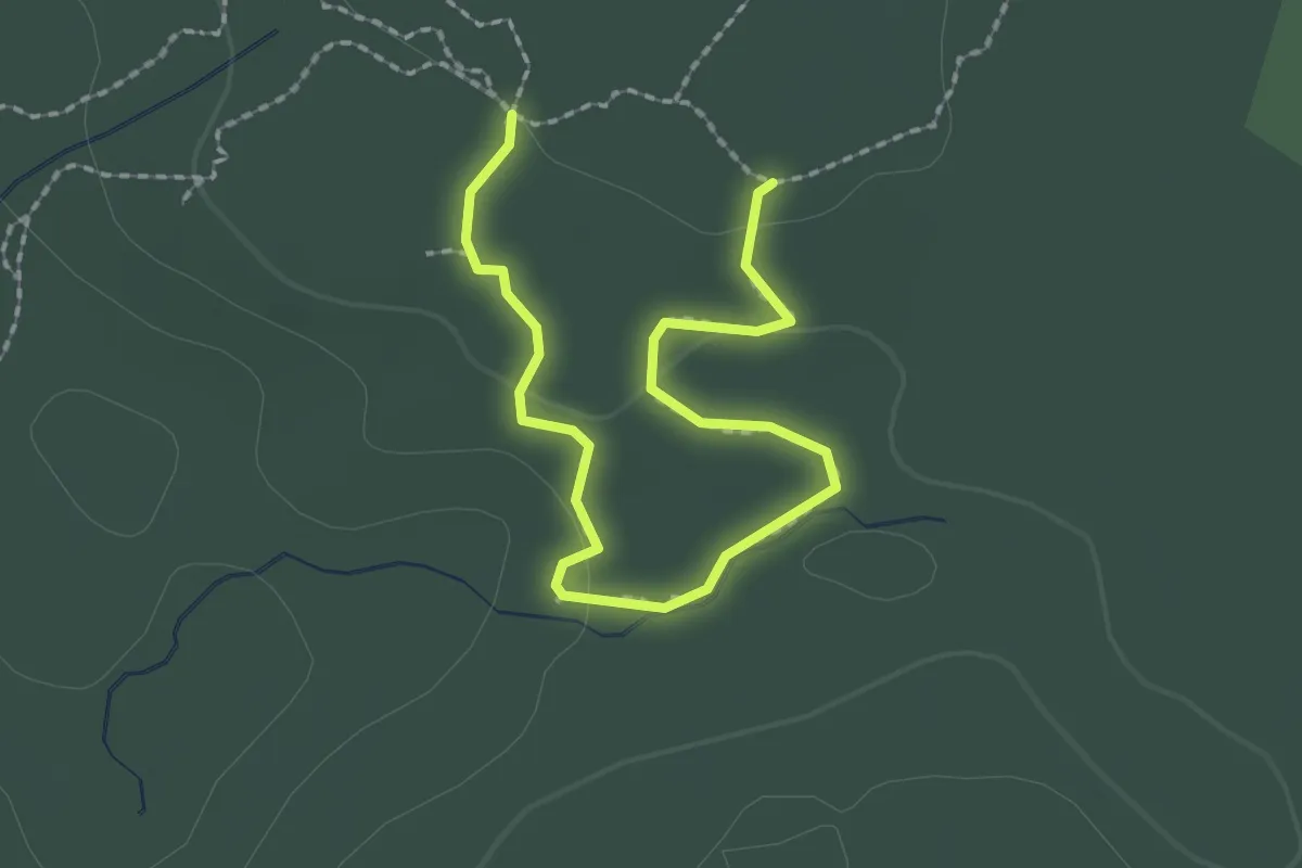
Indian Path - Pink Route
2.4 km · ↑ 49 m · 40 min
Easy · Trail
Indian Path - Yellow Loop
1.3 km · ↑ 26 m · 23 min
Easy · Trail
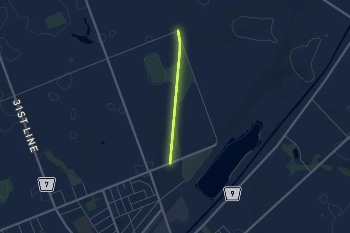
Indian Ridge
5.2 km · ↑ 13 m · 1 h 15 min
Easy · Trail
Ingersoll Rail Trail
3.3 km · ↑ 9 m · 47 min
Medium · Trail
Inland Lake Trail
12.7 km · ↑ 95 m · 3 h 23 min
Medium · Trail
International Appalachian Trail New-Brunswick
13.7 km · ↑ 152 m · 3 h 34 min
Easy · Trail
Interpretive Trail
1.7 km · ↑ 38 m · 31 min
Easy · Trail
Interurban Rail Trail
7.2 km · ↑ 54 m · 1 h 49 min
Medium · Trail
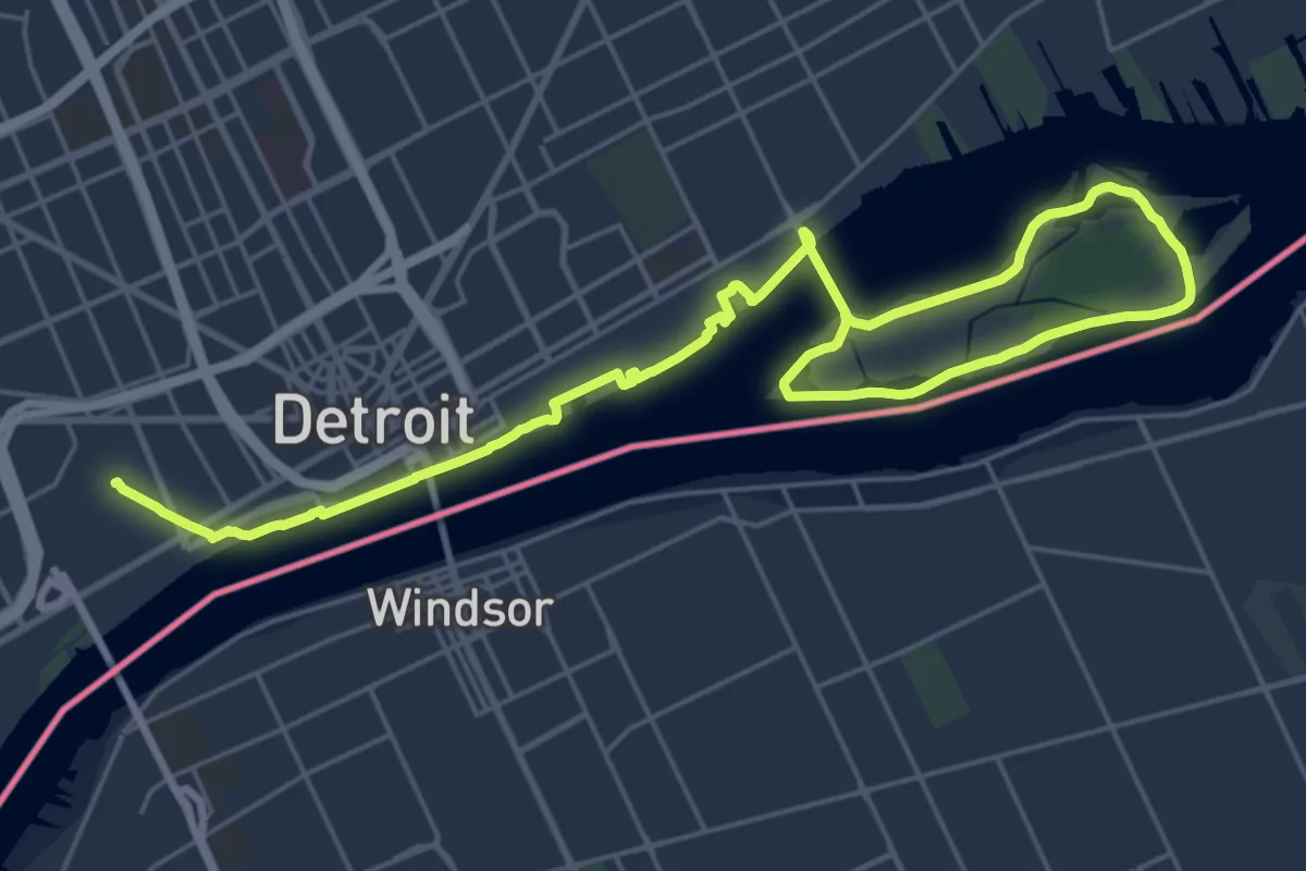
Iron Belle Trail
17.6 km · ↑ 5 m · 4 h 25 min
Demanding · Summit
Ishpatina Ridge Trail
30.0 km · ↑ 548 m · 8 h 16 min
Medium · Trail
Jean Lake Winter Trail
12.0 km · ↑ 9 m · 2 h 51 min
Easy · Trail
Jessica Lake Trails
4.4 km · ↑ 8 m · 1 h 3 min
Medium · Trail
Joffre Lakes Trail
8.5 km · ↑ 459 m · 2 h 59 min
Easy · Trail
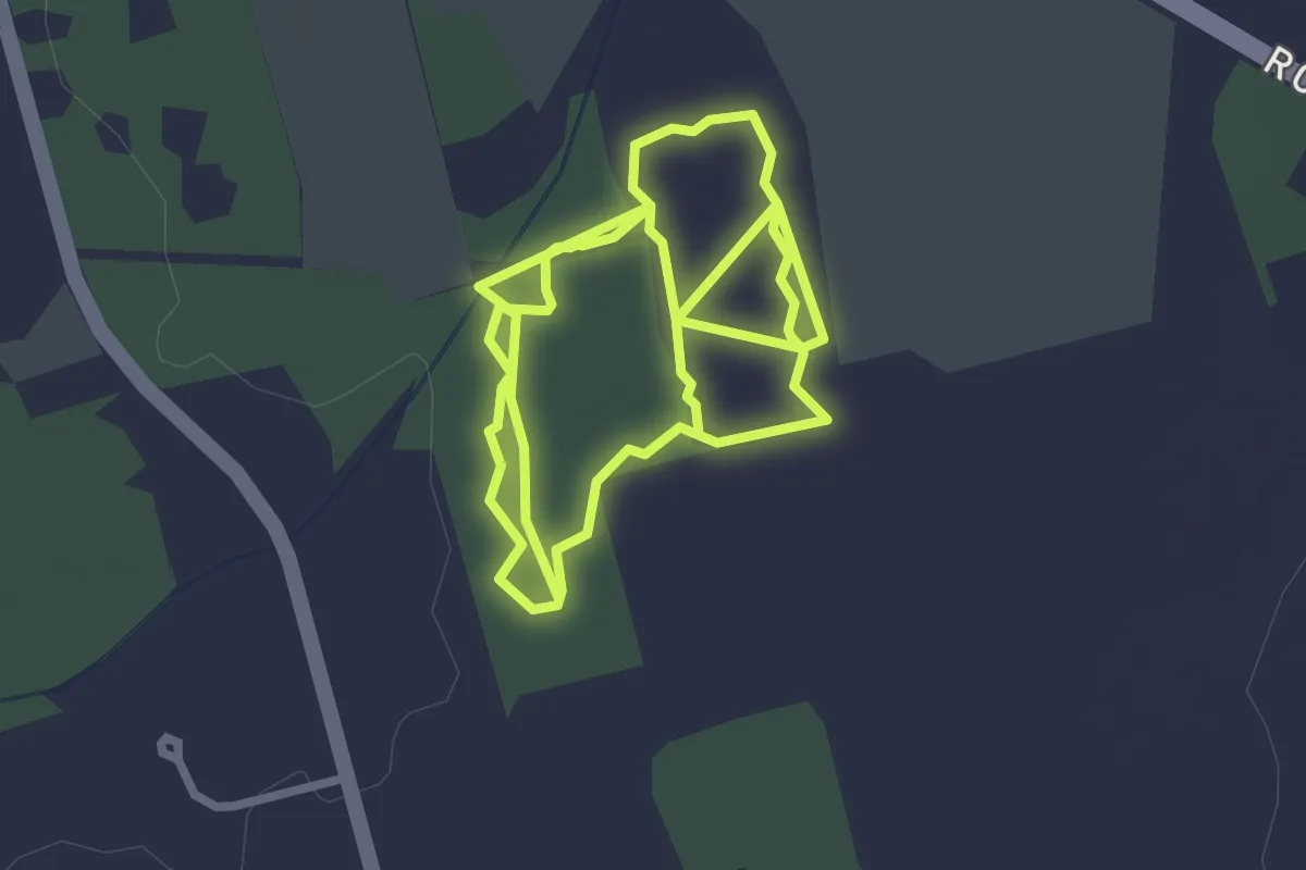
John A. Hogg - Kensington Public Forest
5.9 km · ↑ 32 m · 1 h 28 min
Easy · Trail
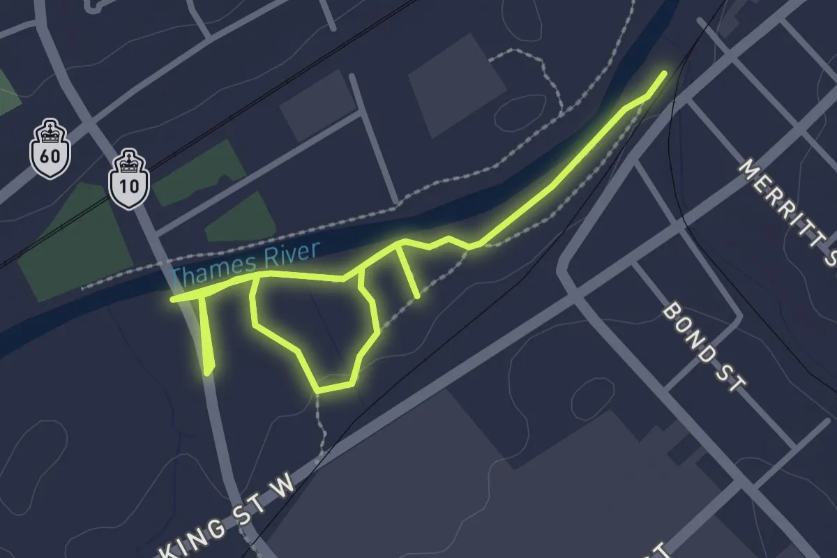
John Lawson Park & Trail
3.9 km · ↑ 0 m · 55 min
Easy · Trail
Johnny's Trail
3.1 km · ↑ 149 m · 1 h 3 min
Demanding · Summit
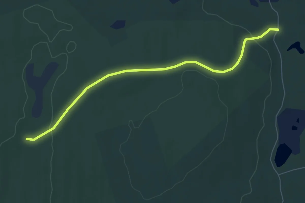
Judge's Route
5.4 km · ↑ 1023 m · 3 h 30 min
Easy · Trail
Juniper Head Trail
6.3 km · ↑ 140 m · 1 h 48 min
Easy · Trail
Juniper Nature Trail
2.5 km · ↑ 5 m · 38 min
Easy · Trail
Juniper Trail
3.8 km · ↑ 17 m · 59 min
Easy · Trail
J V Clyne Bird Sanctuary
4.8 km · ↑ 28 m · 1 h 11 min
Demanding · Trail
Kabeyun Trail
36.0 km · ↑ 289 m · 9 h 35 min
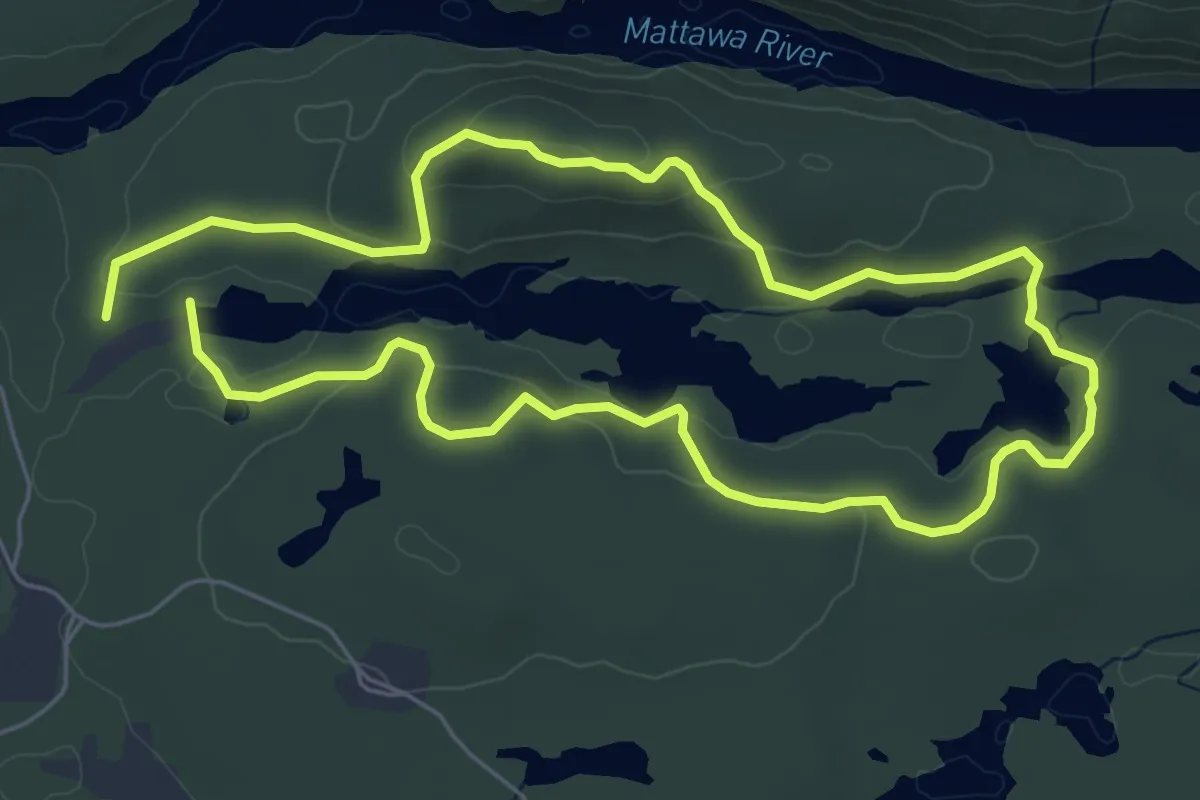
Medium · Trail
Kag Trail
11.3 km · ↑ 339 m · 3 h 24 min
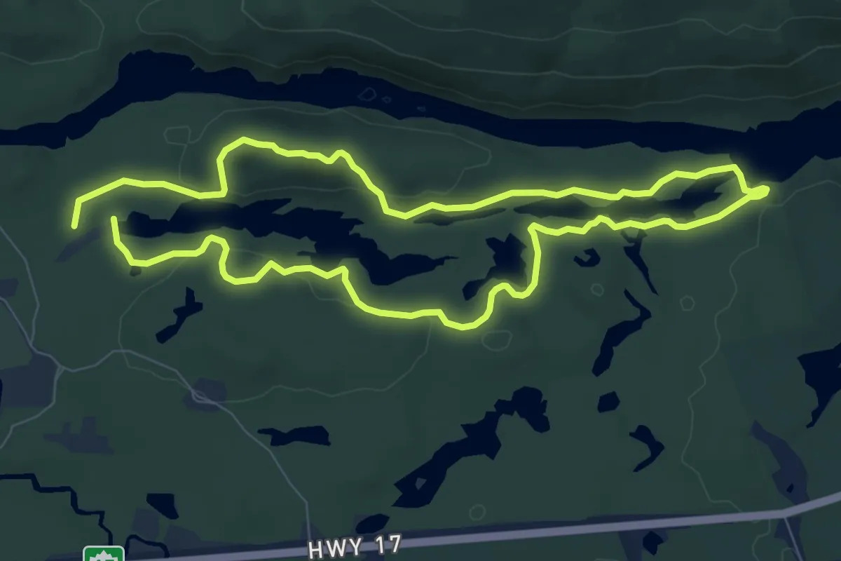
Medium · Trail
Kag Trail
15.9 km · ↑ 474 m · 4 h 47 min
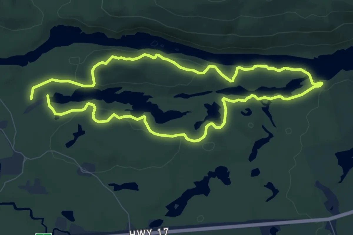
Medium · Trail
Kag Trail
16.1 km · ↑ 473 m · 4 h 50 min
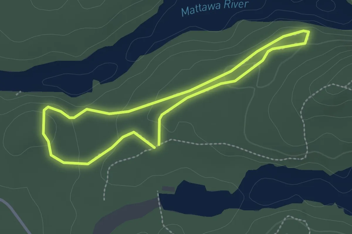
Easy · Trail
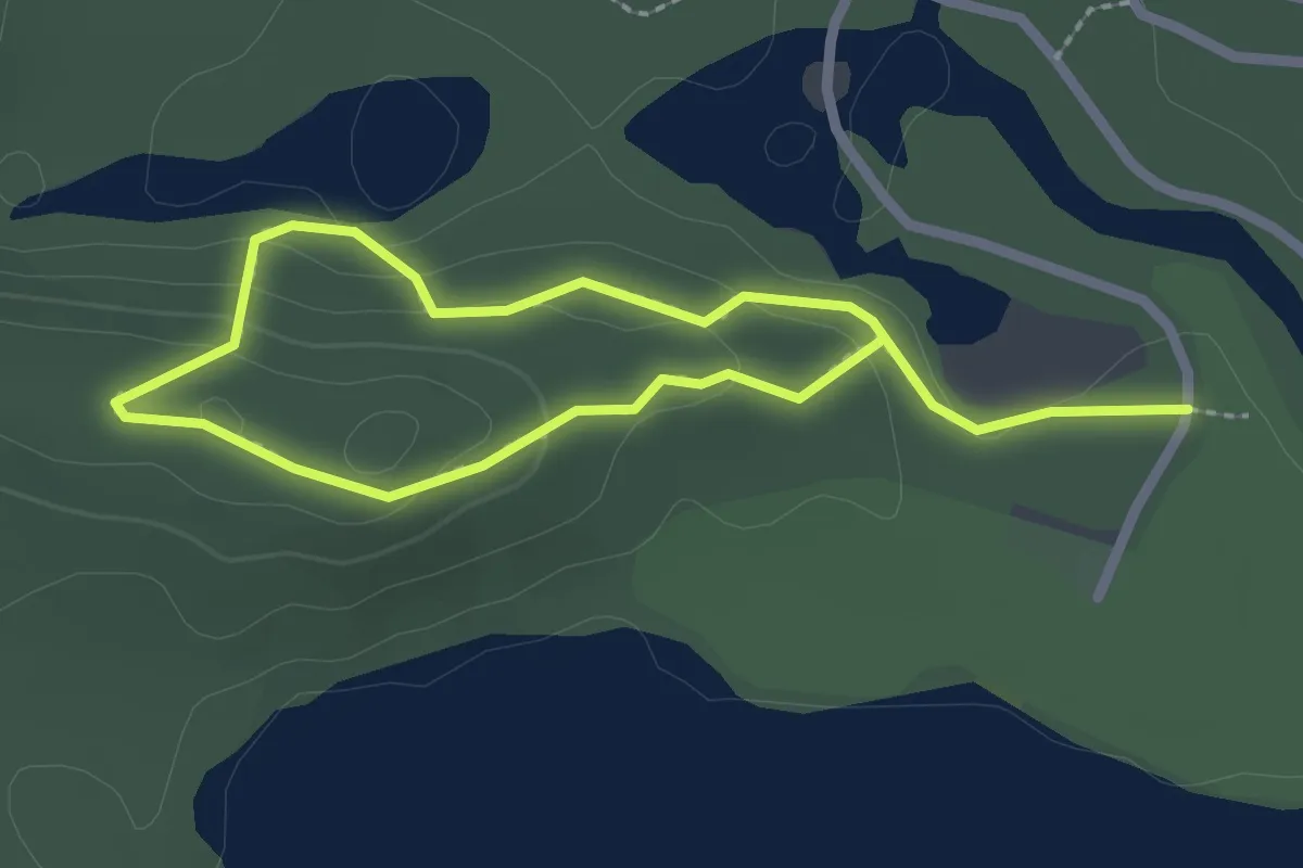
Kag Trail
2.3 km · ↑ 53 m · 41 min
Easy · Trail
Kag Trail
3.6 km · ↑ 149 m · 1 h 10 min
Medium · Trail
Karst Creek Trail
1.3 km · ↑ 84 m · 30 min
Easy · Trail
Karver's Trail
3.0 km · ↑ 184 m · 1 h 6 min
Easy · Trail
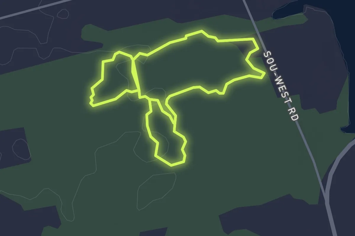
Keeha Beach Trail
7.1 km · ↑ 118 m · 1 h 57 min
Easy · Trail
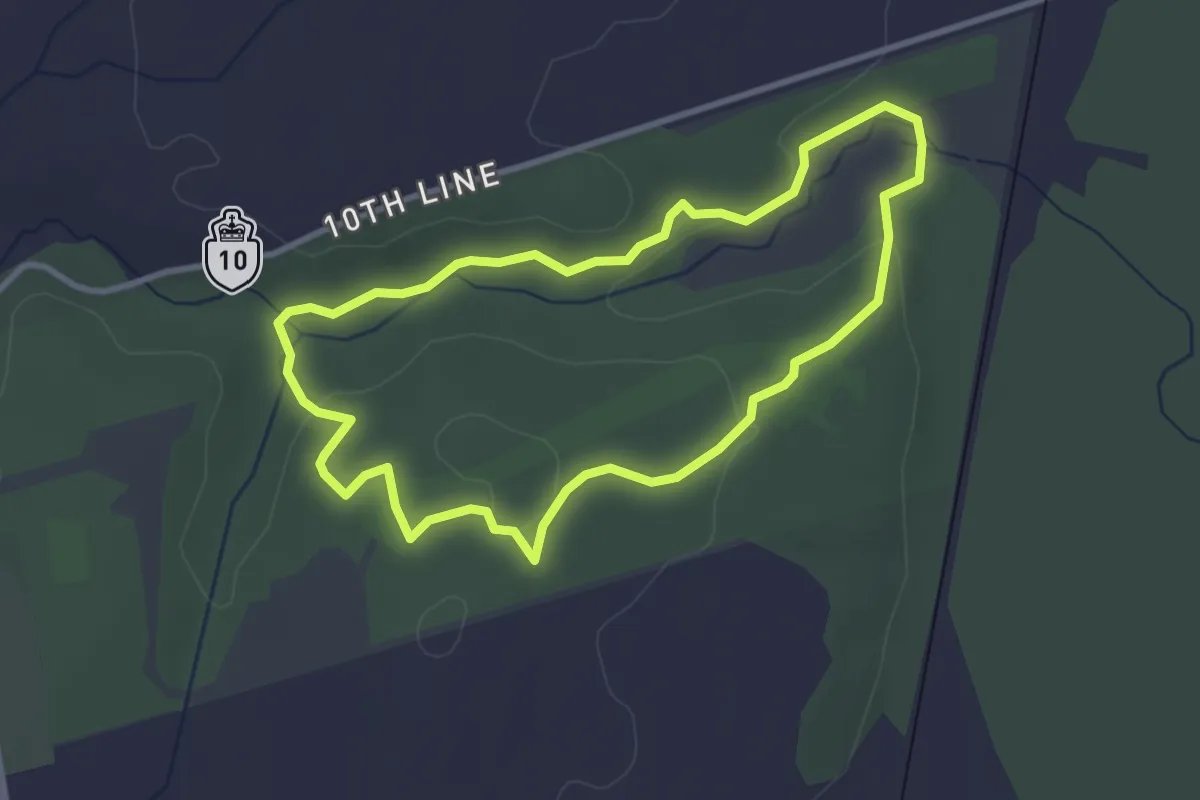
Kildare Forest Natural Area
3.1 km · ↑ 8 m · 47 min
Easy · Trail
Kingfisher Loop Trail
3.2 km · ↑ 51 m · 55 min
Medium · Summit
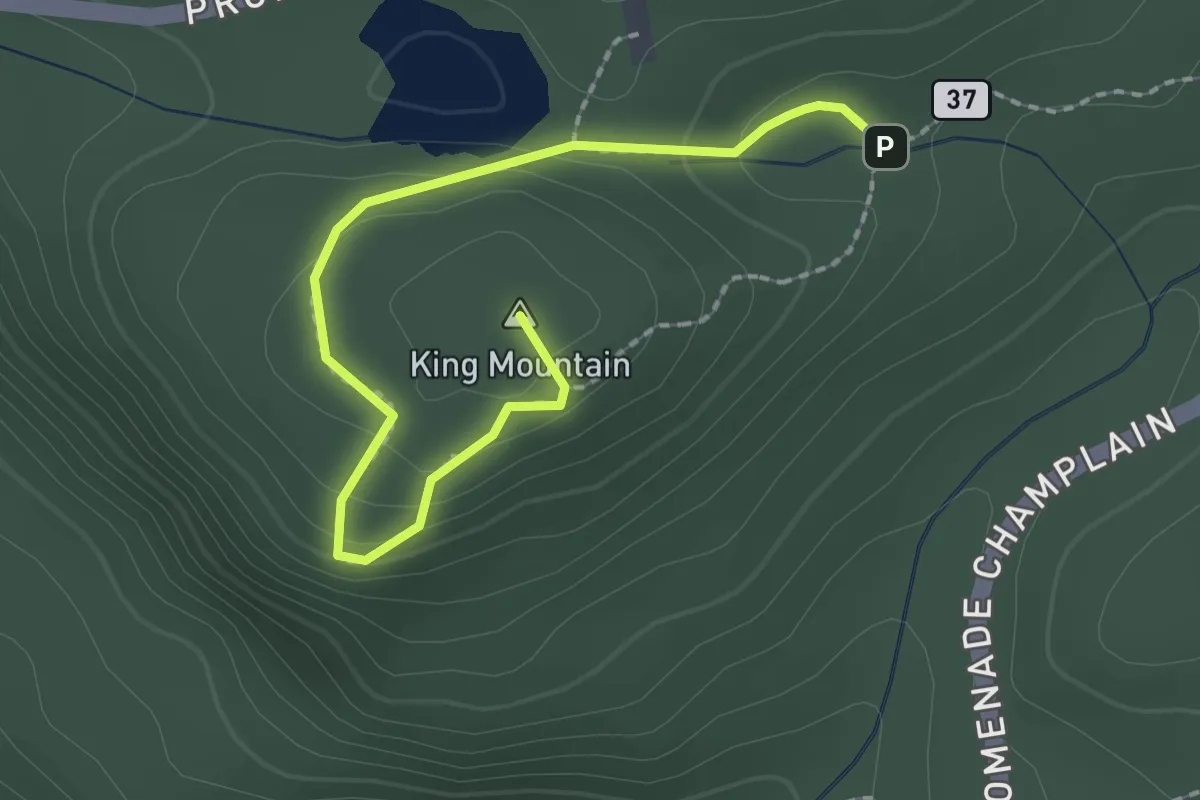
King Mountain Trail
2.4 km · ↑ 129 m · 51 min
Expert · Summit
King's Peak Trail
15.4 km · ↑ 1934 m · 7 h 49 min
Medium · Trail
King's Throne Trail
7.6 km · ↑ 714 m · 3 h 20 min
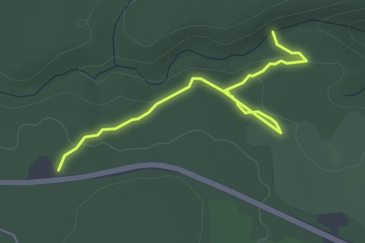
Easy · Trail
Kinnie Brook Trail
4.0 km · ↑ 150 m · 1 h 16 min
Easy · Trail
Kitsuksis Dyke Walking Path
7.7 km · ↑ 20 m · 1 h 52 min