Trails in Chile
184 hiking trails, each with its route, climb, walking time and grade.
All trails, page 4 of 4
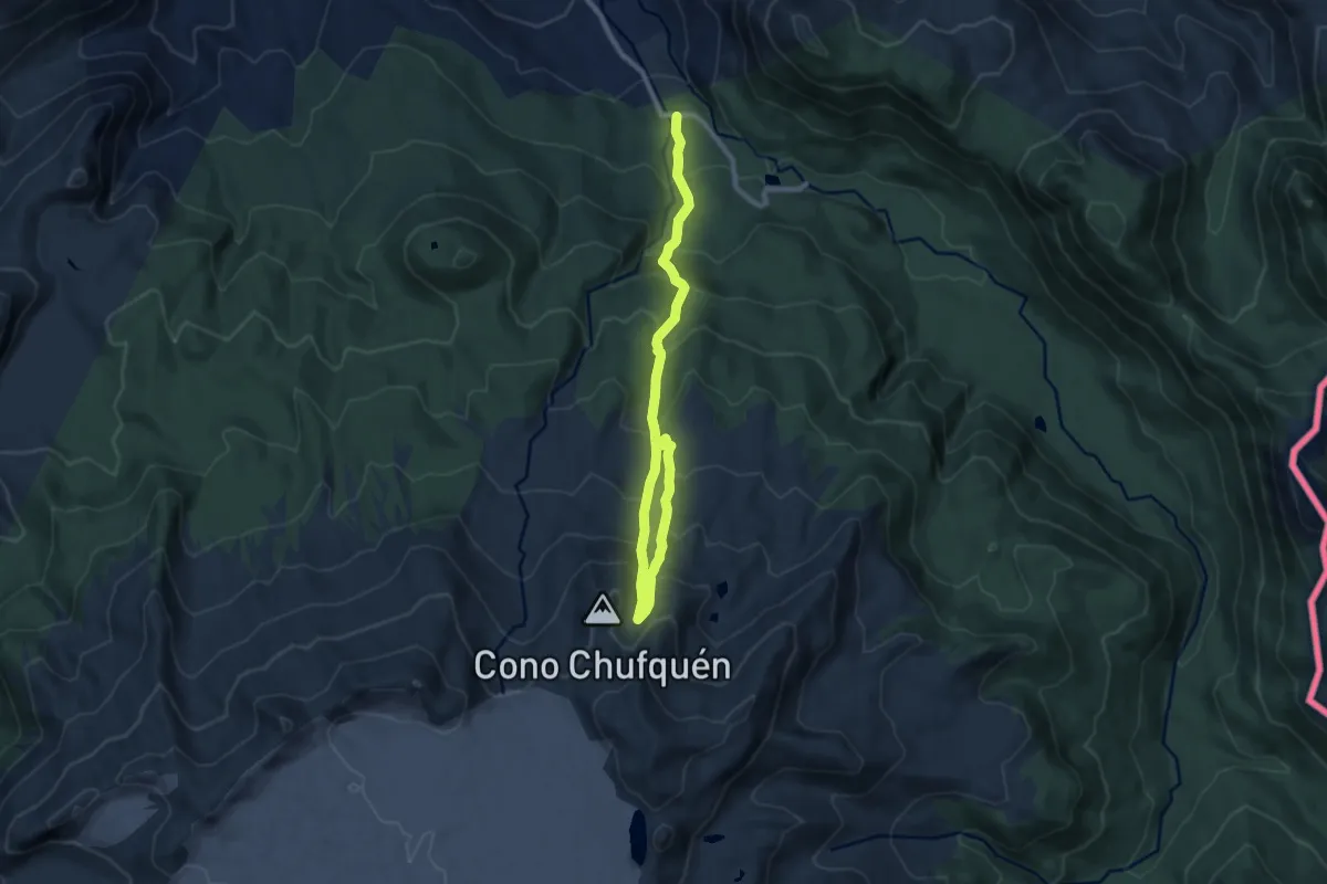
Medium · Trail
Sendero Nevados de Sollipulli
5.9 km · ↑ 344 m · 2 h 27 min
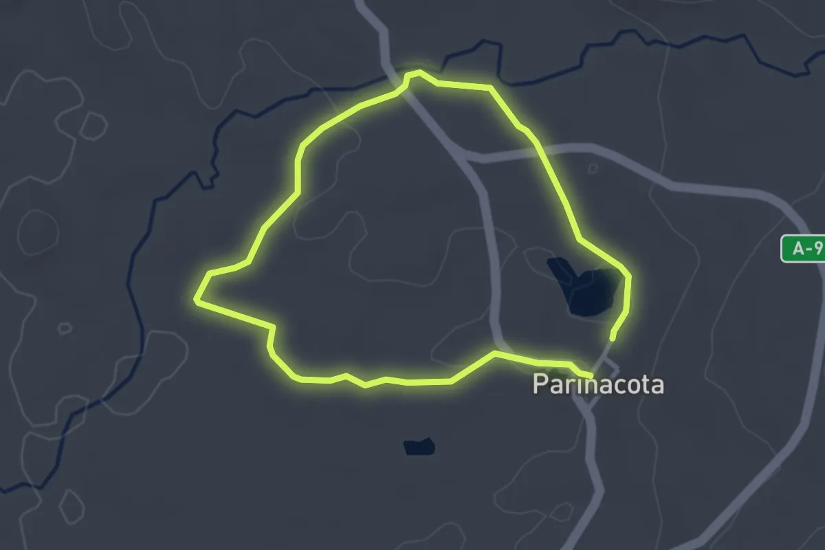
Easy · Trail
Sendero Parinacota
3.4 km · ↑ 26 m · 55 min
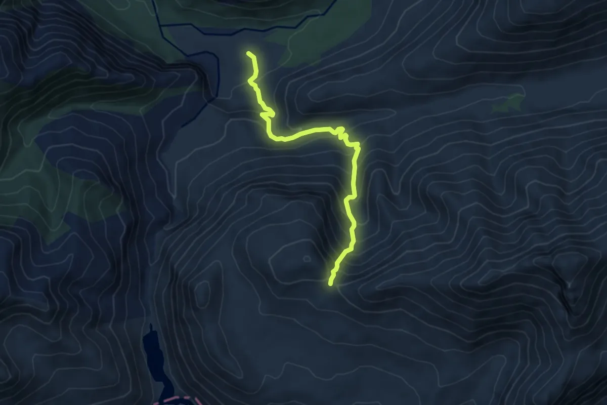
Medium · Trail
Sendero Paso Atacalco
6.6 km · ↑ 618 m · 2 h 53 min
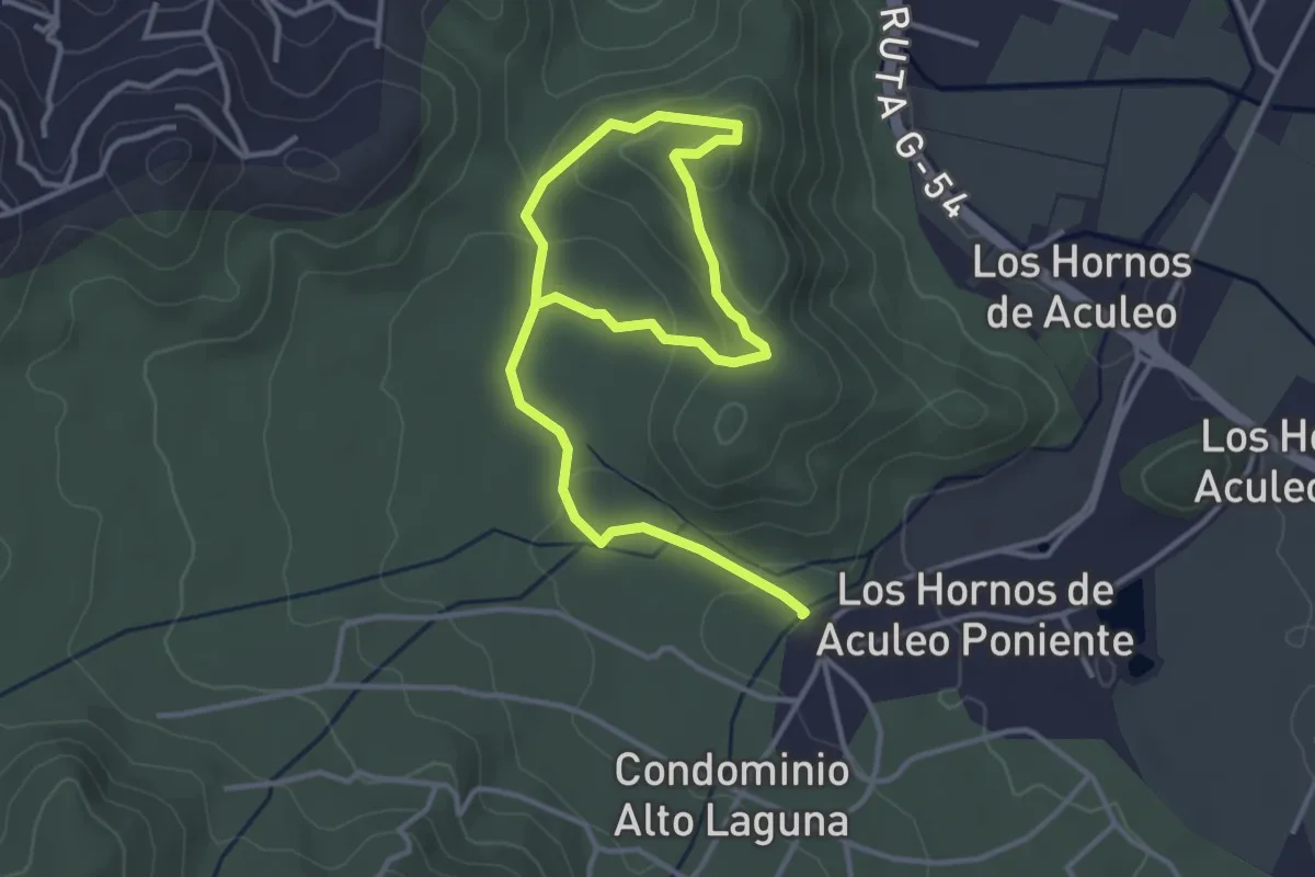
Easy · Summit
Sendero Patagual-Loma de la Olivera
3.1 km · ↑ 125 m · 1 h 1 min
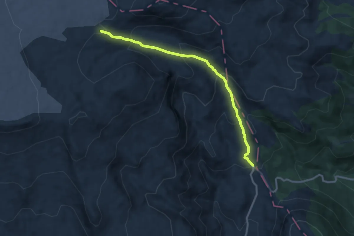
Medium · Trail
Sendero Pichillancahue
7.9 km · ↑ 502 m · 2 h 57 min
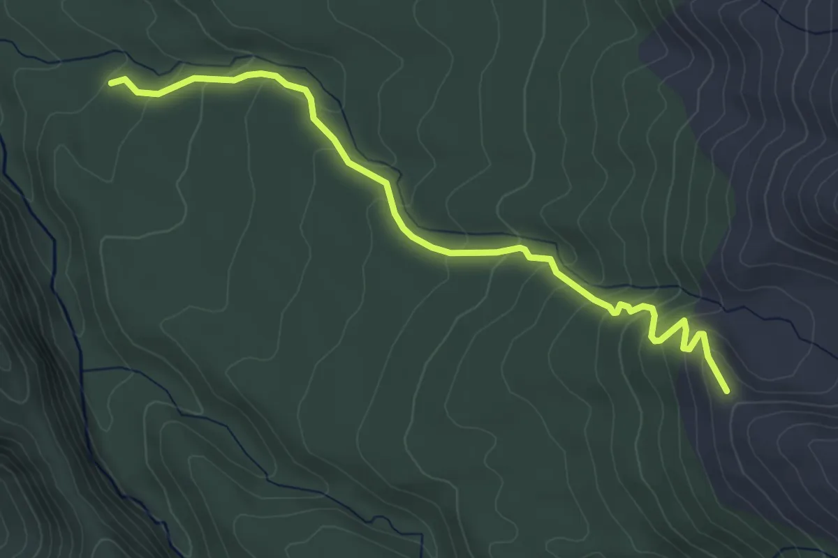
Medium · Trail
Sendero Puma
5.5 km · ↑ 328 m · 2 h
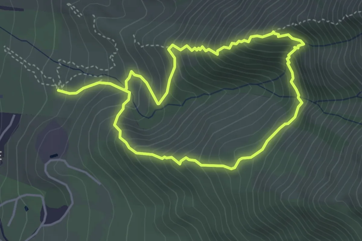
Demanding · Trail
Sendero Quebrada Guayacán
4.2 km · ↑ 430 m · 2 h 1 min
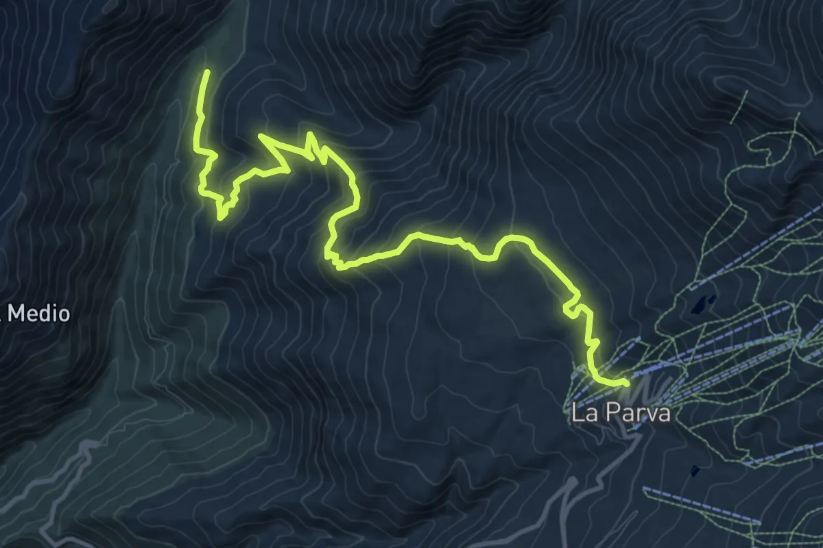
Demanding · Trail
Sendero Refugio Alemán
16.6 km · ↑ 945 m · 5 h 59 min
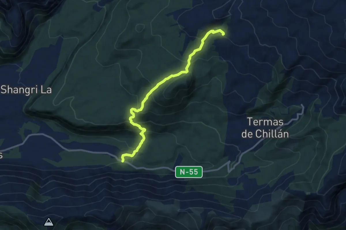
Medium · Cabin
Sendero Refugio Garganta del Diablo
10.6 km · ↑ 667 m · 3 h 57 min
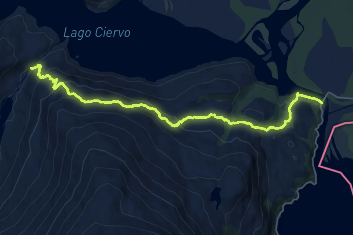
Demanding · Trail
Sendero Rio Negro
15.2 km · ↑ 857 m · 5 h 26 min
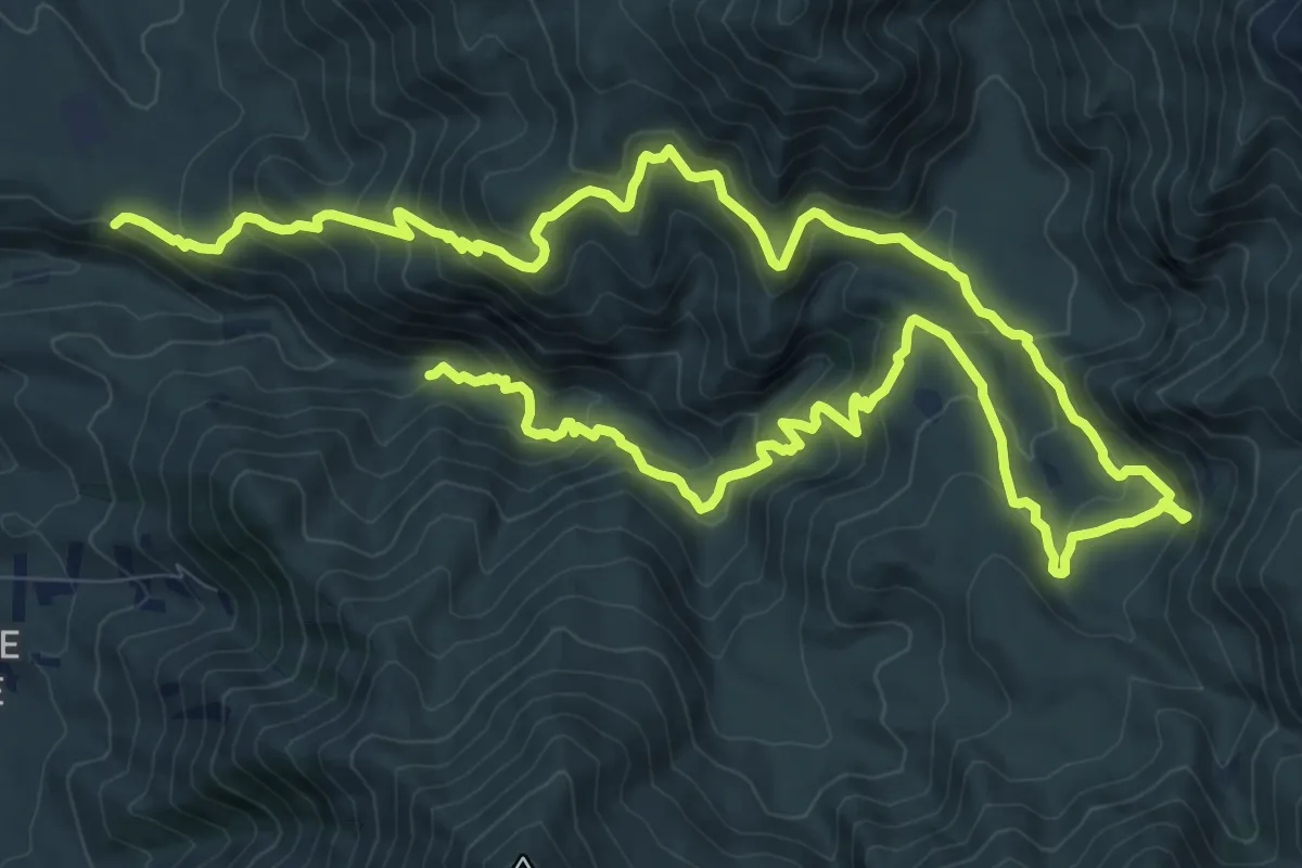
Demanding · Trail
Sendero Salto de Apoquindo
11.6 km · ↑ 833 m · 4 h 41 min
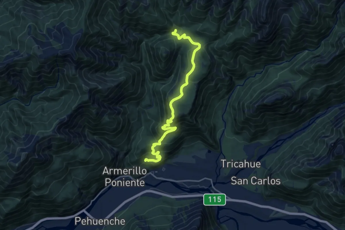
Medium · Trail
Sendero Salto del Chucao
15.7 km · ↑ 758 m · 5 h 21 min
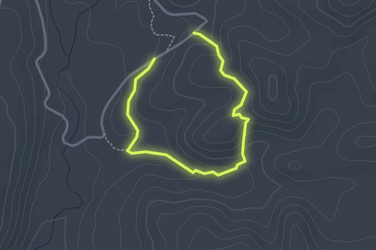
Easy · Trail
Sendero Semidesértico
1.8 km · ↑ 54 m · 34 min
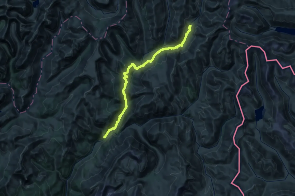
Demanding · Trail
Sendero Termas La Zorra
23.4 km · ↑ 1508 m · 8 h 55 min
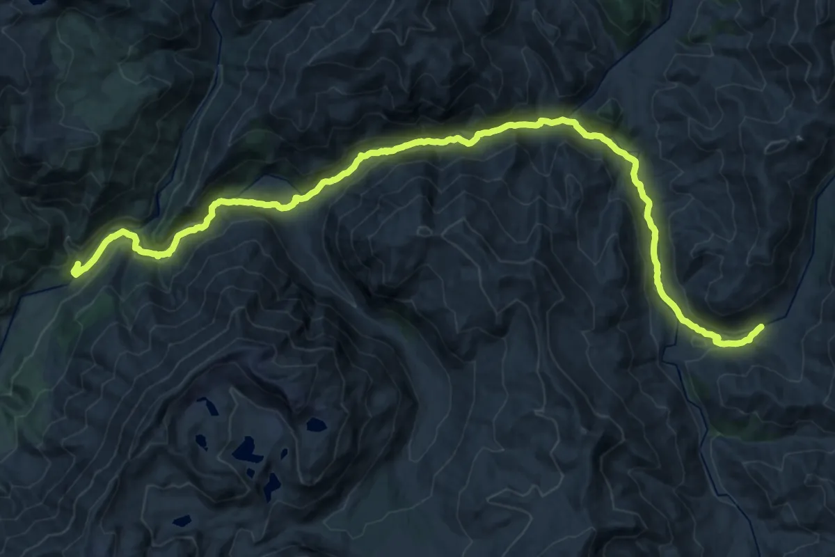
Demanding · Trail
Sendero Termas Los Moscos
18.3 km · ↑ 345 m · 5 h 34 min
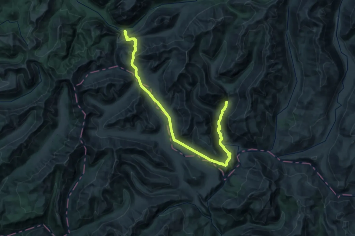
Demanding · Trail
Sendero Termas Los Peucos
23.2 km · ↑ 898 m · 7 h 36 min
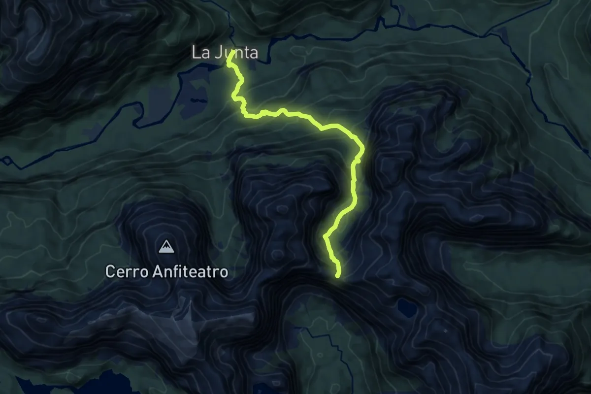
Demanding · Trail
Sendero Trinidad
11.7 km · ↑ 1115 m · 5 h 11 min
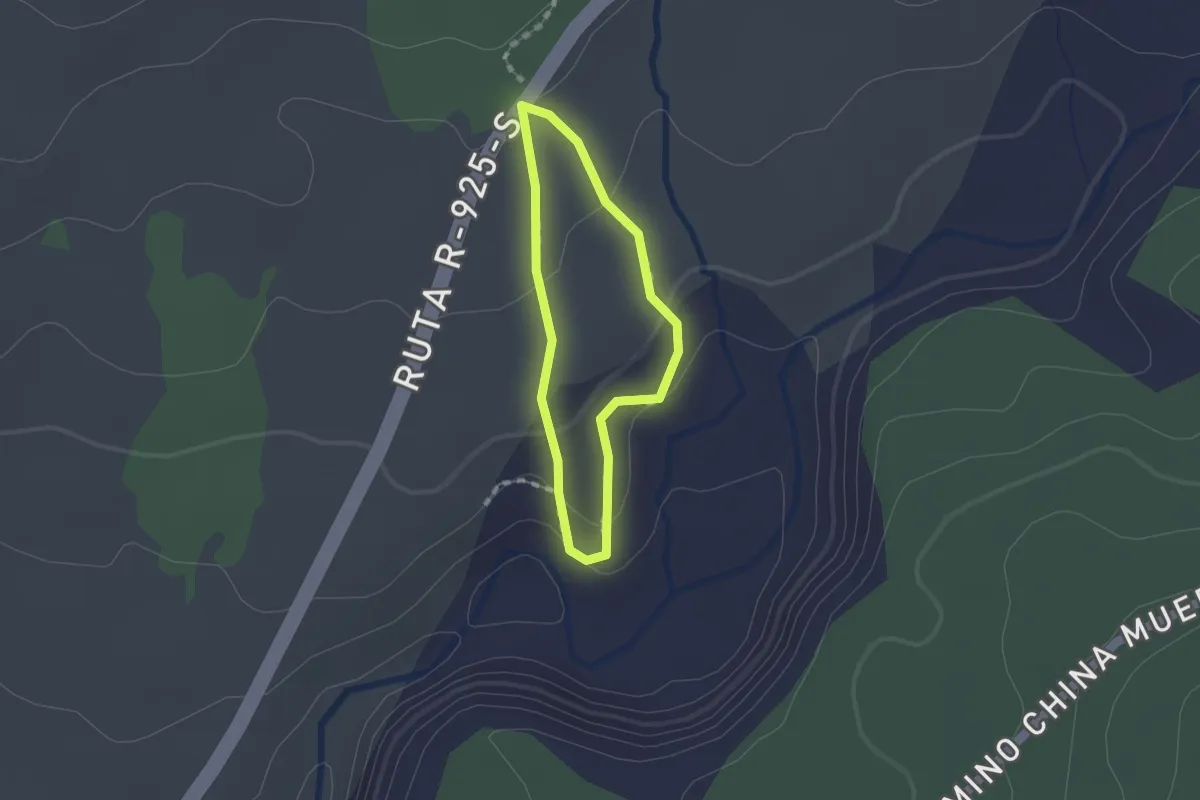
Easy · Trail
Sendero Truful Traful
1.3 km · ↑ 39 m · 24 min
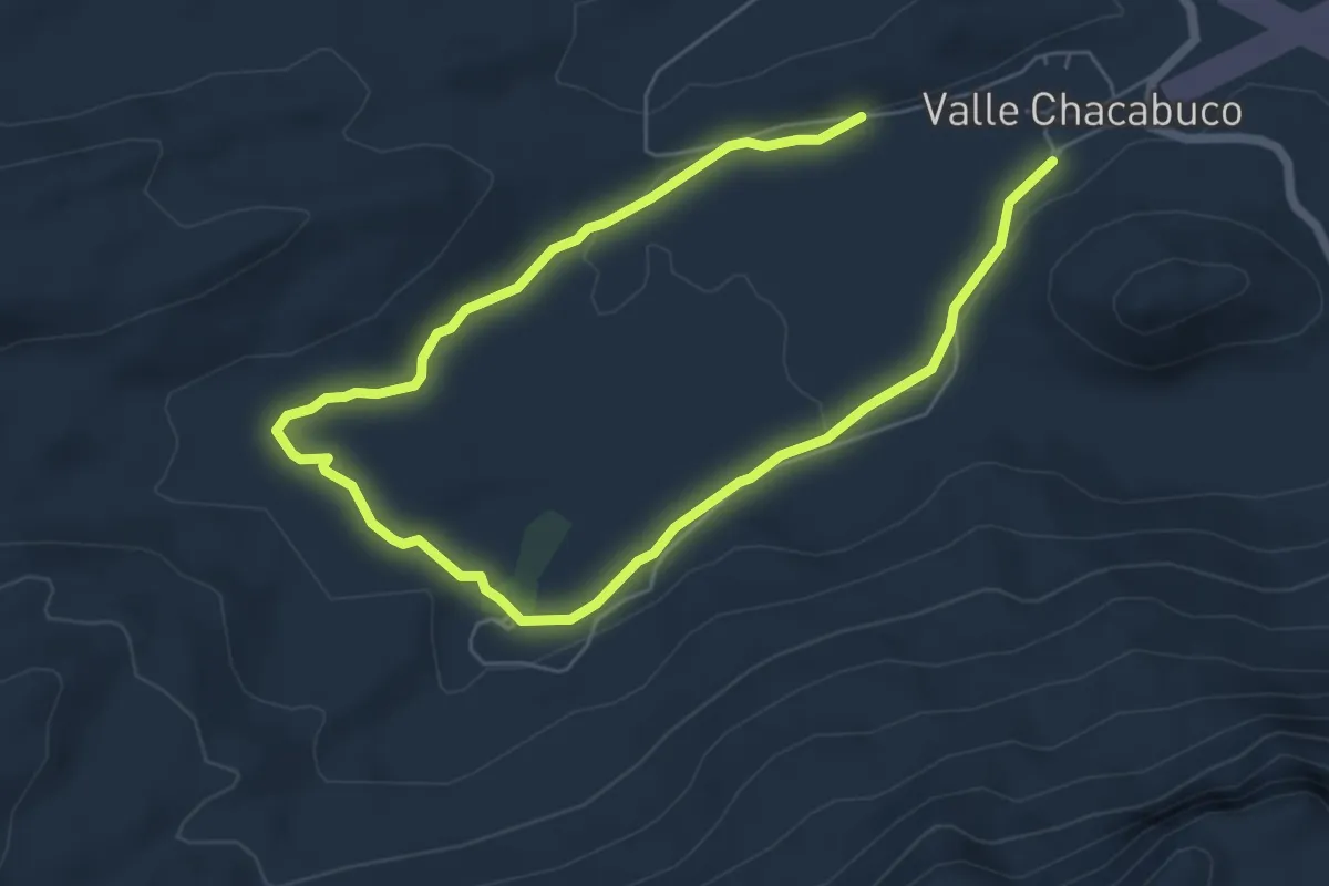
Medium · Trail
Sendero Vega
9.2 km · ↑ 132 m · 2 h 28 min
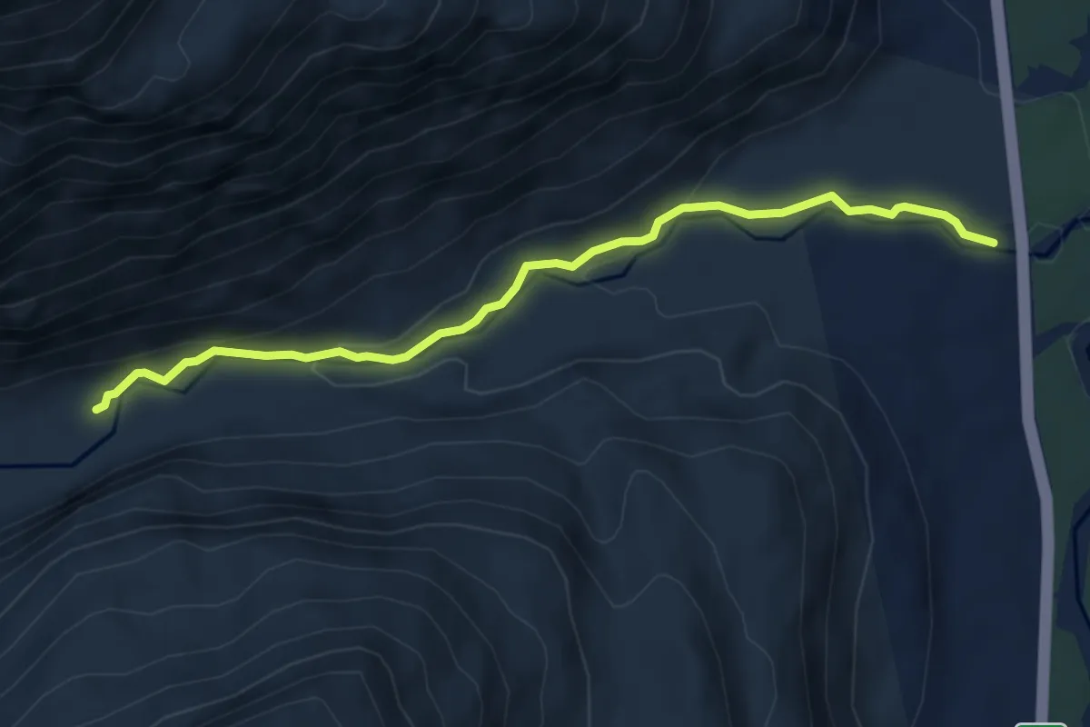
Easy · Trail
Sendero Ventisquero Yelcho
5.8 km · ↑ 181 m · 1 h 45 min
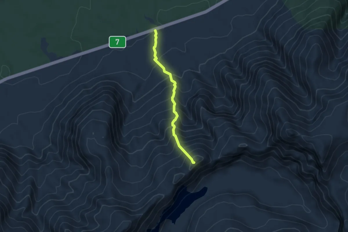
Medium · Trail
Sendero Volcán Chaitén
4.4 km · ↑ 610 m · 2 h 22 min
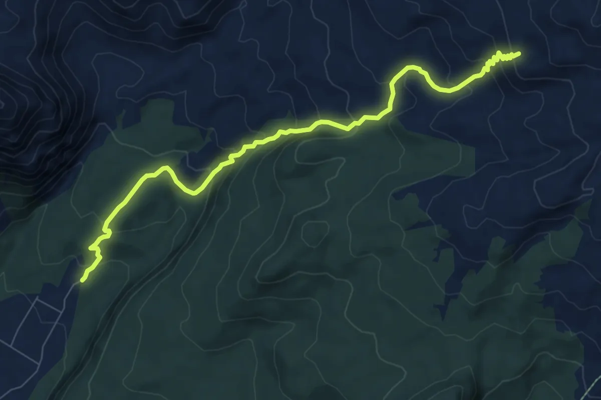
Medium · Trail
Sendero Volcán Renegado
10.2 km · ↑ 719 m · 3 h 59 min
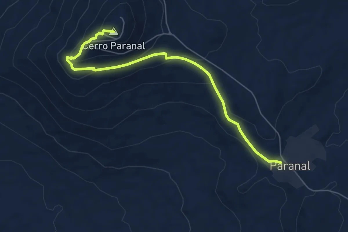
Medium · Summit
Star Track
7.1 km · ↑ 281 m · 2 h 17 min
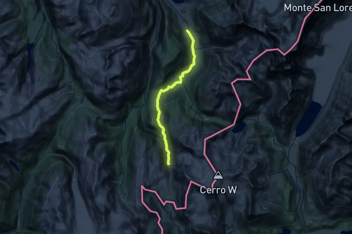
Demanding · Trail
Tramo 1: Río Pedregoso - Paso La Picota
29.2 km · ↑ 498 m · 7 h 58 min
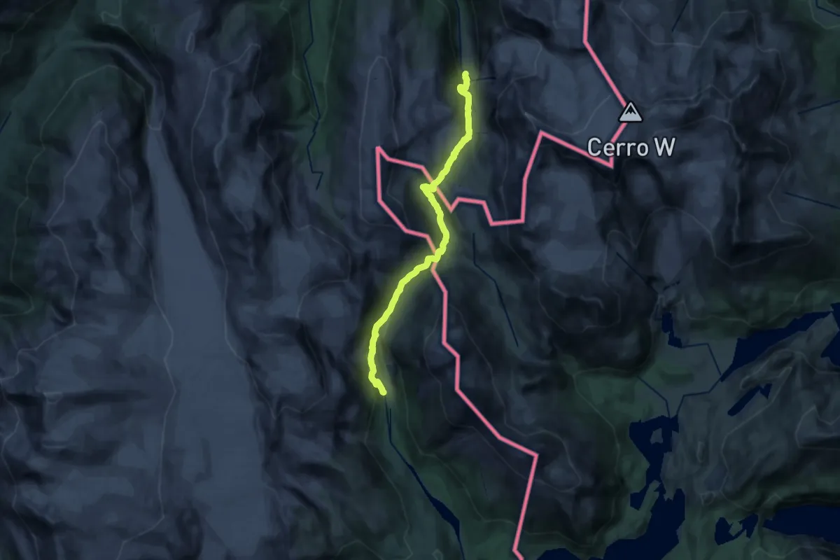
Demanding · Trail
Tramo 2: Paso La Picota - Alto Río Bravo
21.7 km · ↑ 967 m · 7 h 14 min
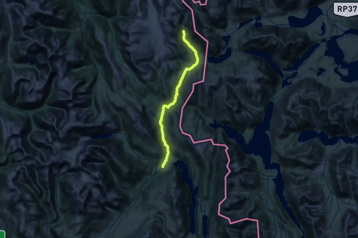
Demanding · Trail
Tramo 3: Río Bravo
27.5 km · ↑ 560 m · 8 h 18 min
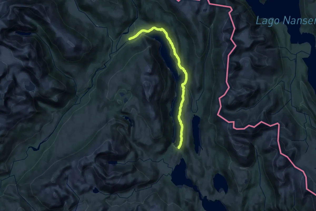
Demanding · Cabin
Tramo 4: Lago Alegre
18.1 km · ↑ 620 m · 5 h 51 min
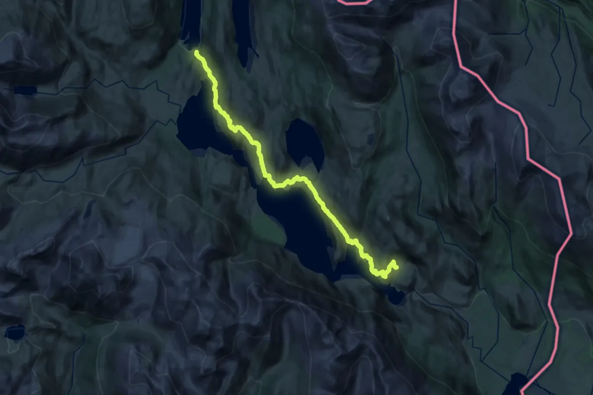
Medium · Cabin
Tramo 5: Lago Christie
16.1 km · ↑ 666 m · 5 h 28 min
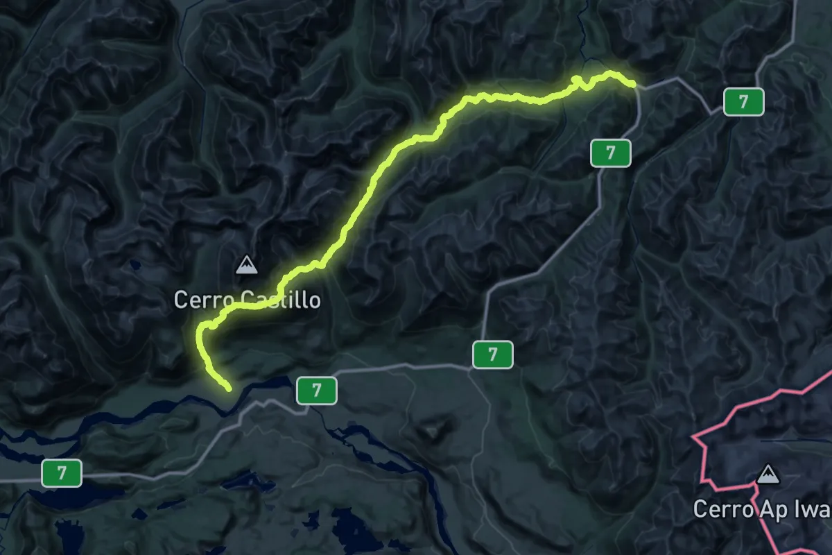
Demanding · Trail
Traversía Las Horquetas
36.2 km · ↑ 1707 m · 13 h
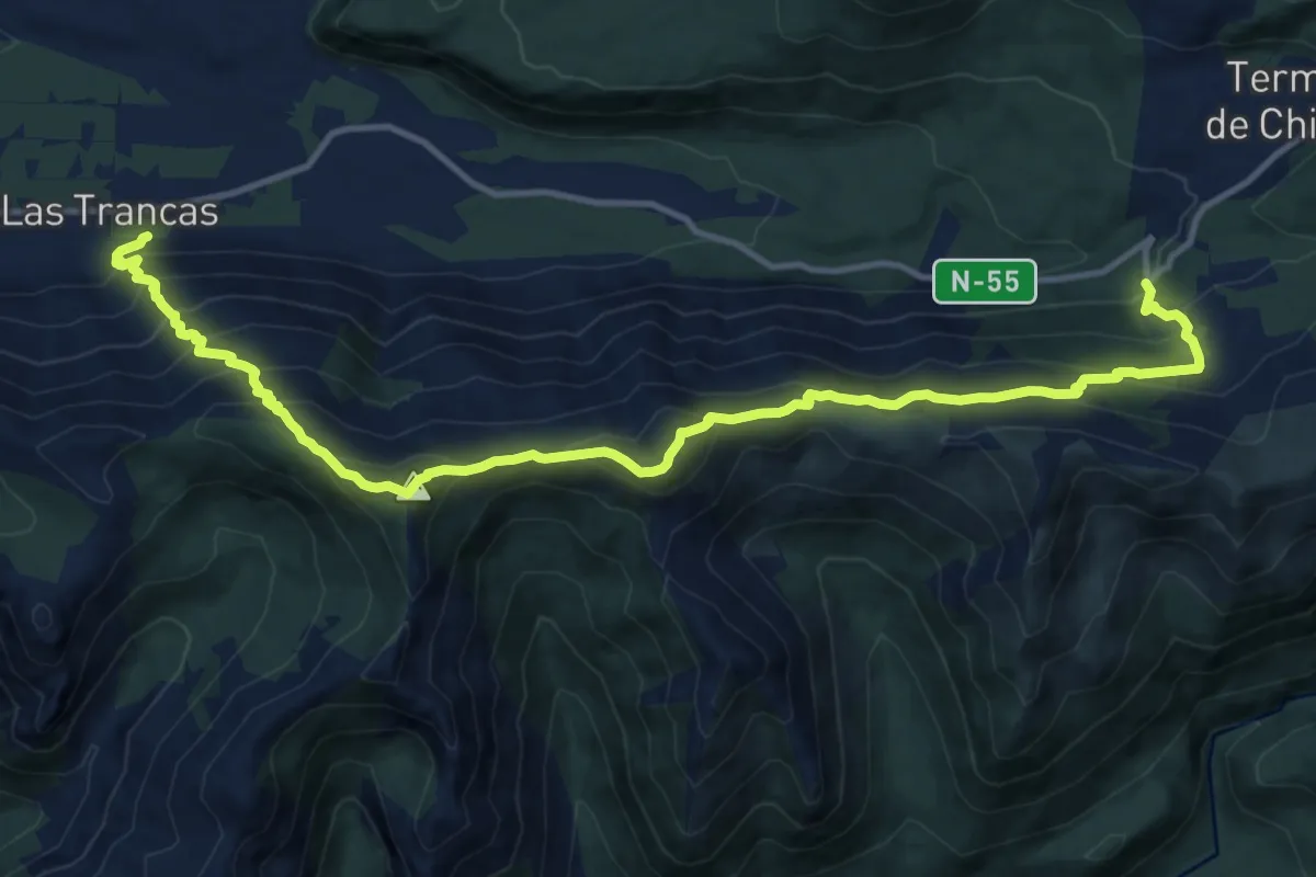
Expert · Trail
Travesía Cordón Coltahues
17.5 km · ↑ 1529 m · 7 h 26 min
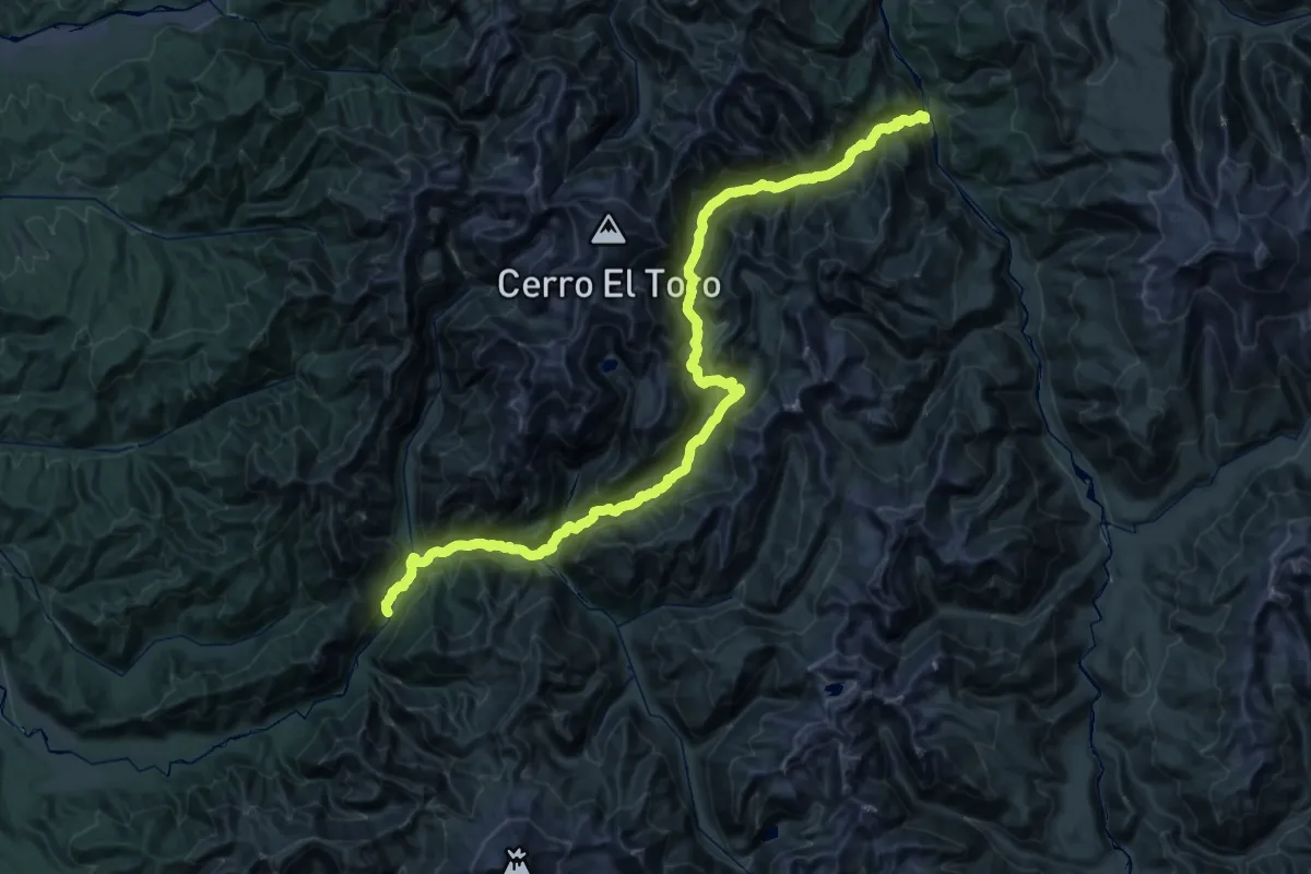
Demanding · Trail
Travesía El Toro
38.6 km · ↑ 1826 m · 13 h 36 min
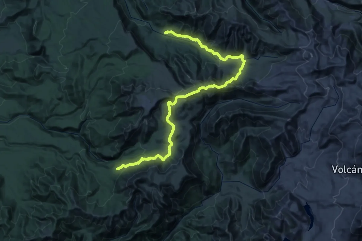
Demanding · Trail
Travesía Interparque
35.4 km · ↑ 1307 m · 11 h 50 min
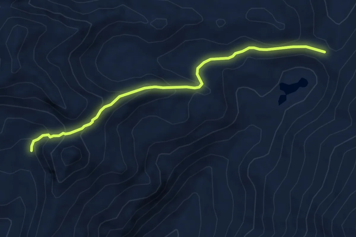
Medium · Trail
Travesía Laguna del Maule - Puente de Piedra
6.8 km · ↑ 364 m · 2 h 23 min
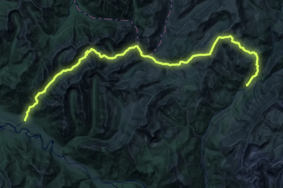
Demanding · Trail
Travesía Laguna La Plata - El Florido
36.8 km · ↑ 2089 m · 13 h 55 min
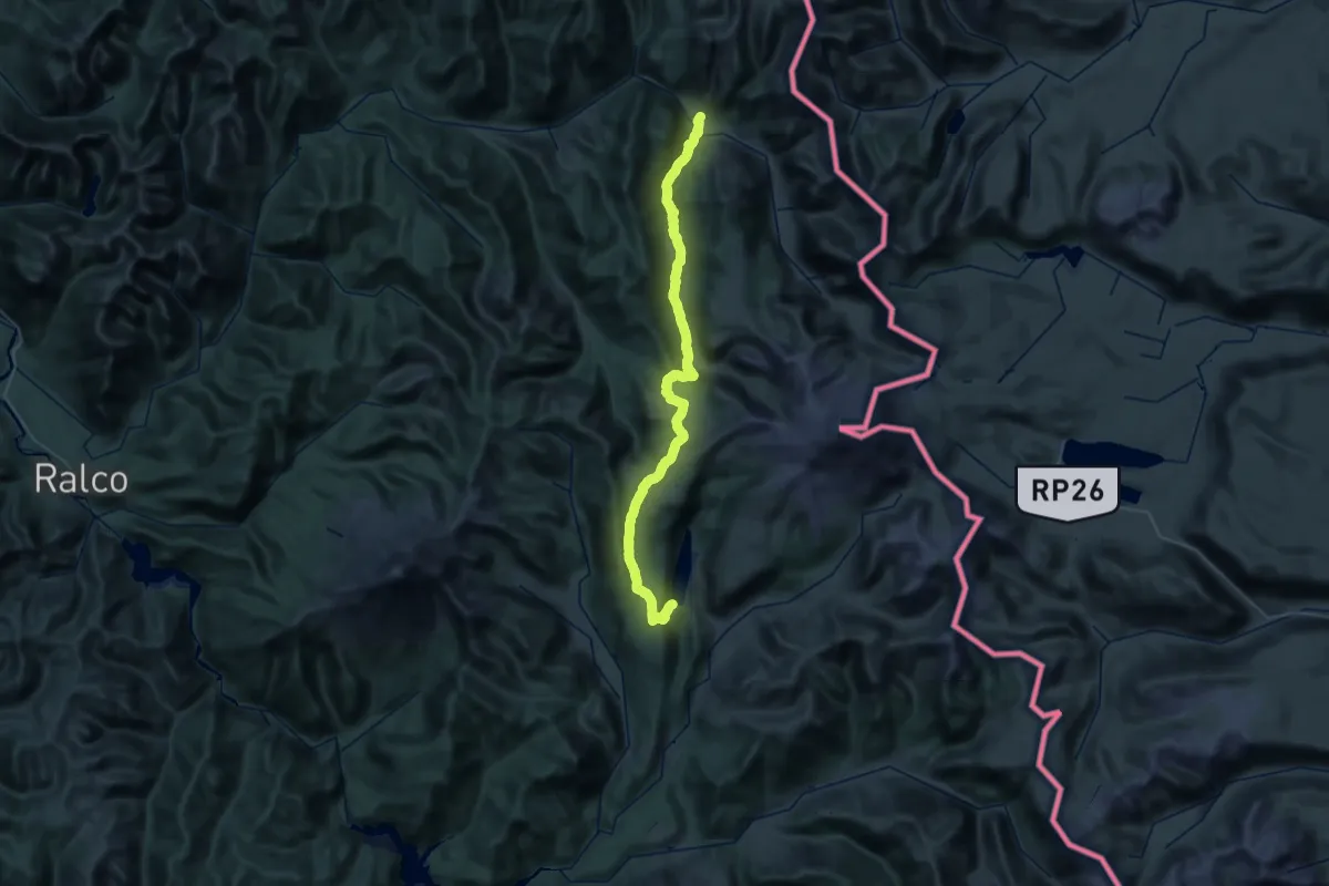
Demanding · Trail
Travesía Laguna Liay
34.3 km · ↑ 1313 m · 11 h 15 min
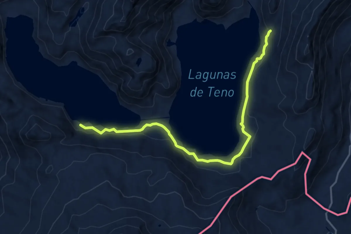
Medium · Trail
Travesía Lagunas del Teno - Valle del Río Claro
14.3 km · ↑ 415 m · 4 h 16 min
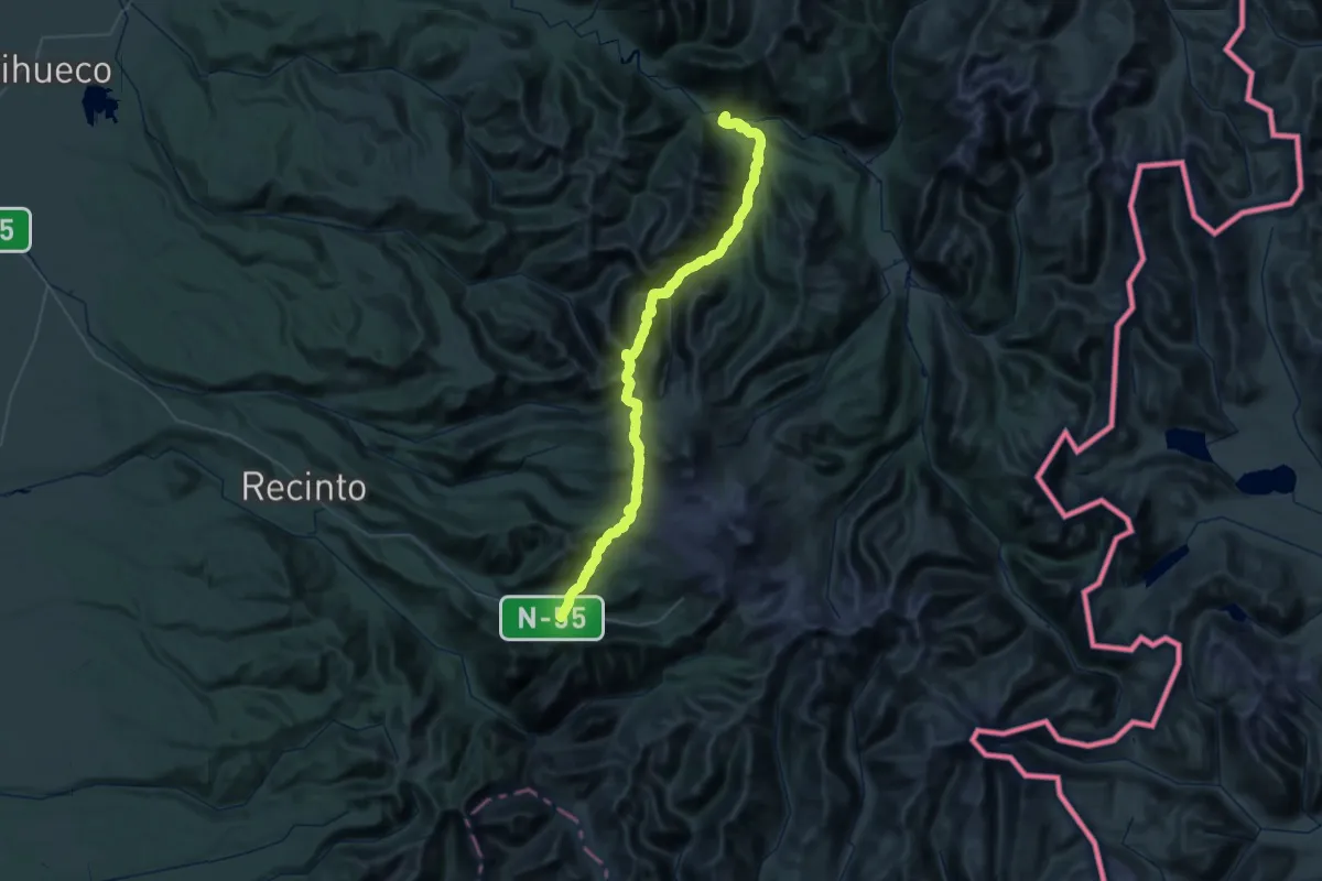
Demanding · Trail
Travesía Santa Gertrudis
39.2 km · ↑ 1718 m · 13 h 50 min
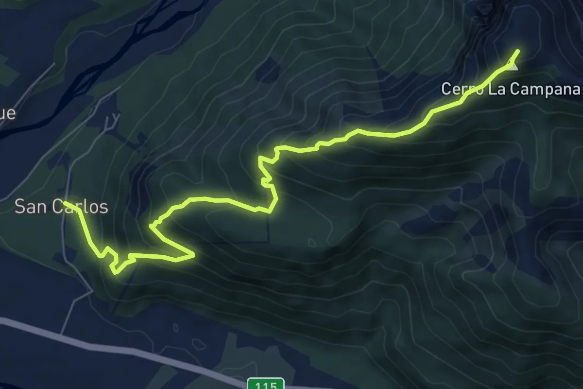
Expert · Summit
Trekking Cerro La Campana
9.1 km · ↑ 908 m · 4 h 6 min
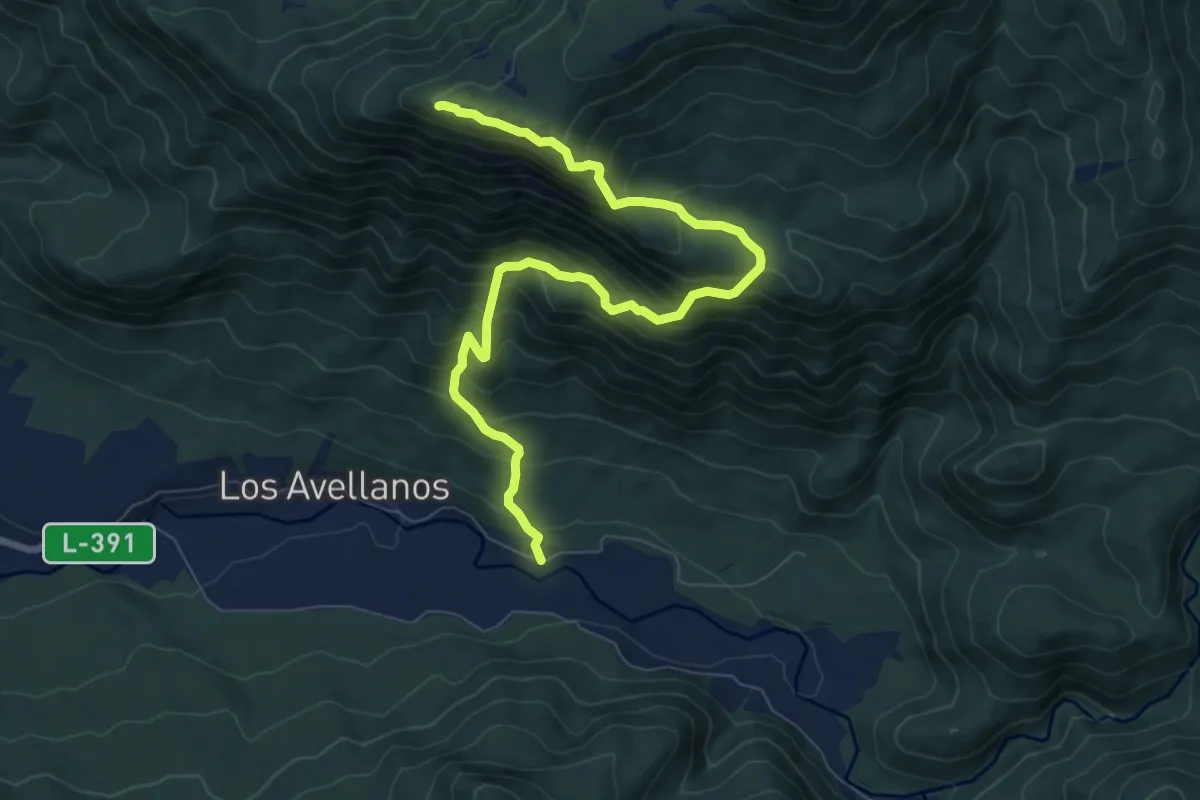
Demanding · Trail
Trekking Mirador Las Vizcachas
10.8 km · ↑ 989 m · 4 h 42 min
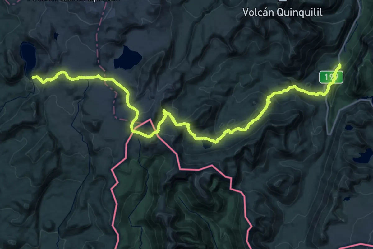
Demanding · Trail
Villarrica Traverse
25.6 km · ↑ 625 m · 8 h 10 min