Trails near Cres
16 hikes starting within 15 km, nearest first.
Nearest first
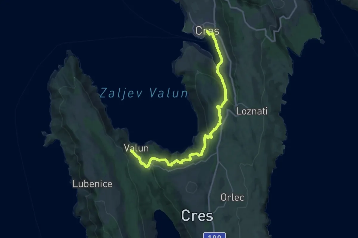
Medium · Trail
Via Apsyrtides #4: Cres => Valun
13.6 km · ↑ 432 m · 4 h 18 min · under 1 km away
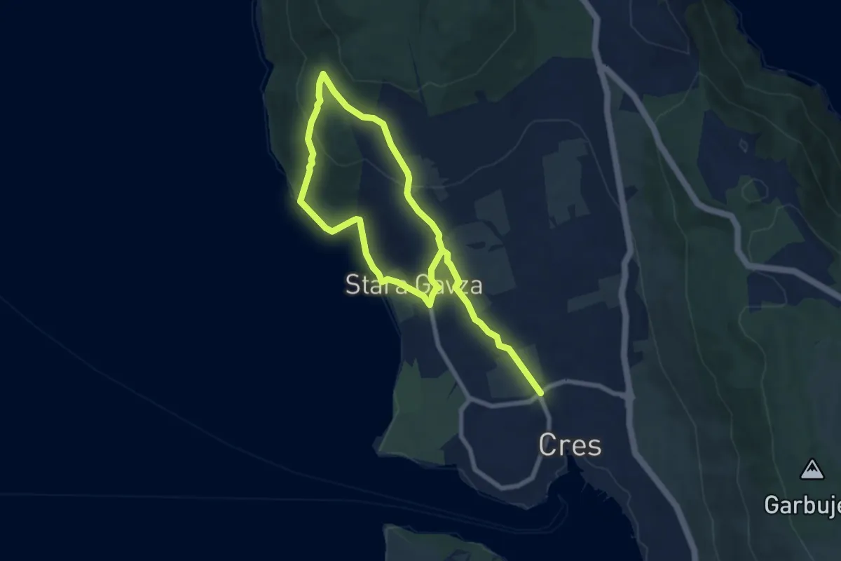
Medium · Trail
311 Cres - Sv. Salvadur - Gavza
11.0 km · ↑ 380 m · 3 h 25 min · under 1 km away
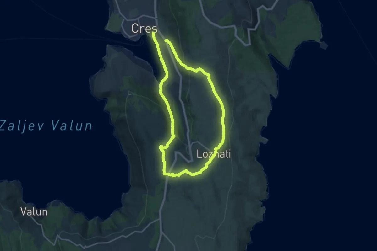
Demanding · Trail
313 Cres – Loznati – Krčina – Cres
25.8 km · ↑ 746 m · 7 h 42 min · 1 km away
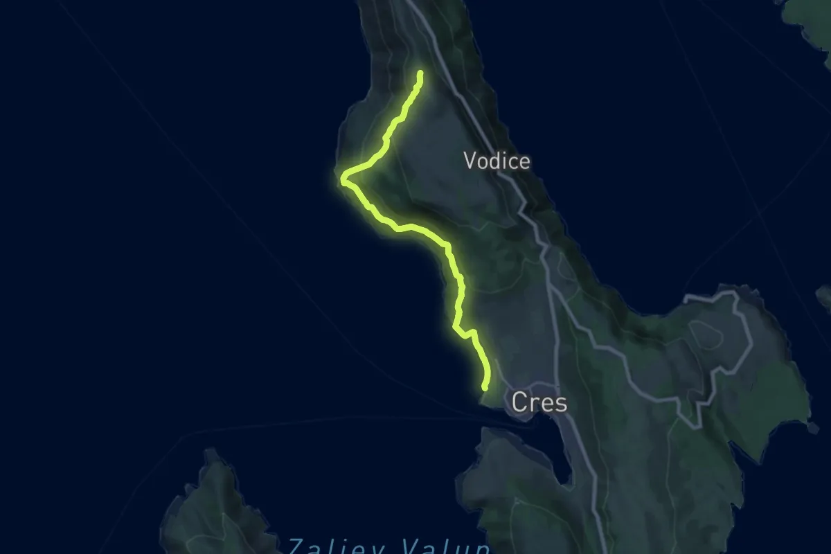
Demanding · Trail
Via Apsyrtides - aproaches (Cres)
19.7 km · ↑ 1076 m · 6 h 59 min · 1 km away
Demanding · Trail
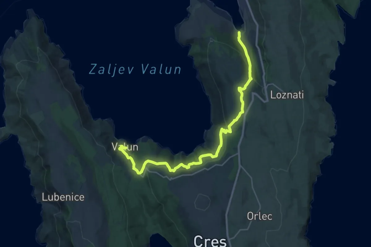
318 Cres - Valun
23.3 km · ↑ 813 m · 7 h 15 min · 2 km away
Medium · Trail
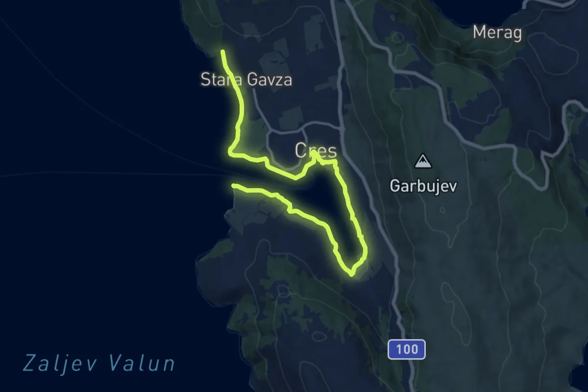
314 Cres – Lungomare
16.8 km · ↑ 47 m · 4 h 3 min · 2 km away
Easy · Trail
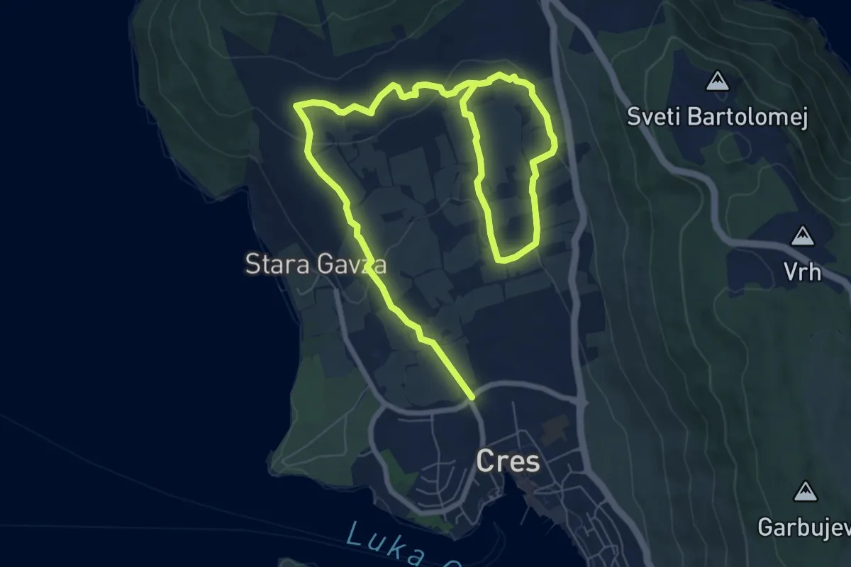
Staza stoljetnih maslinika
5.9 km · ↑ 121 m · 1 h 46 min · 2 km away
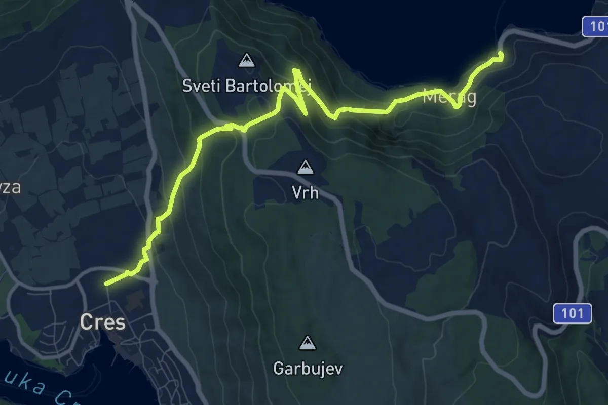
Medium · Trail
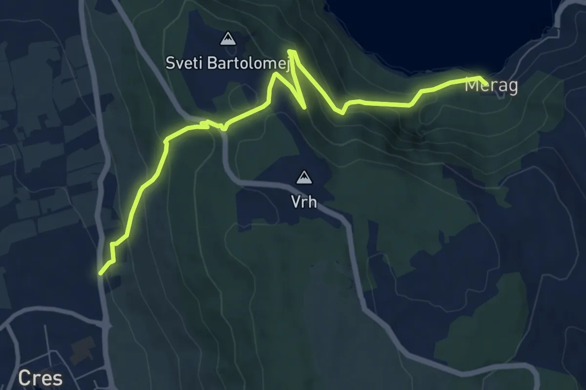
317 Cres-Merag
8.3 km · ↑ 539 m · 3 h 7 min · 3 km away
Medium · Trail
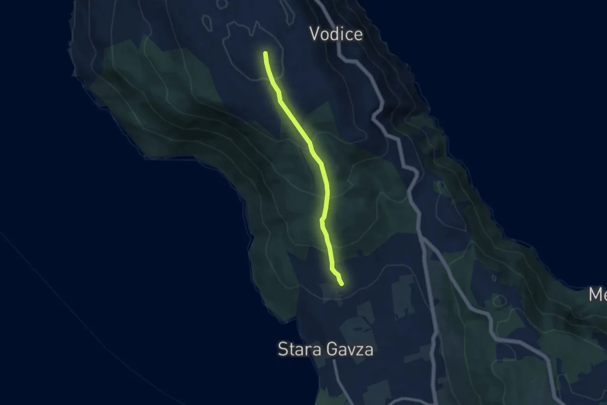
Via Apsyrtides - aproaches (Merag)
11.0 km · ↑ 652 m · 4 h · 4 km away
Medium · Trail
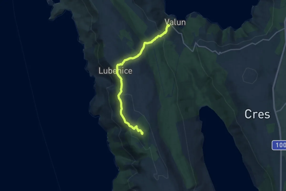
310
6.7 km · ↑ 396 m · 2 h 27 min · 5 km away
Demanding · Summit
Via Apsyrtides #5: Valun => Martinšćica
12.6 km · ↑ 635 m · 4 h 21 min · 7 km away
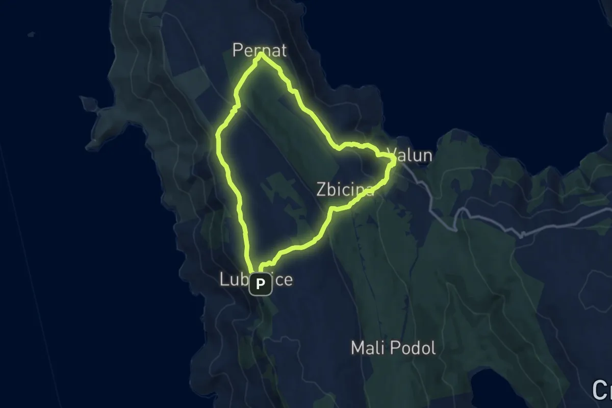
Medium · Trail
325 Valun - Pernat - Lubenice - Valun
10.2 km · ↑ 375 m · 3 h 22 min · 10 km away
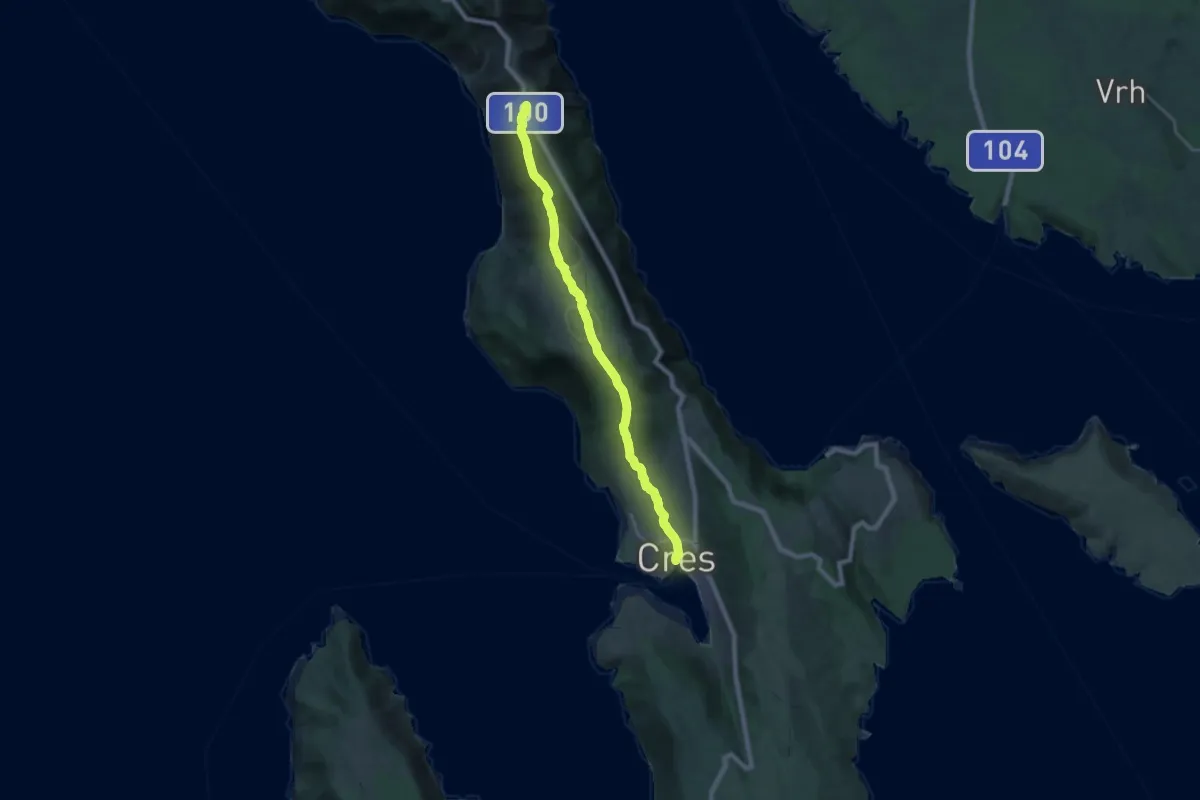
Demanding · Trail
Via Apsyrtides #3: Predošćica => Cres
21.8 km · ↑ 751 m · 6 h 47 min · 10 km away
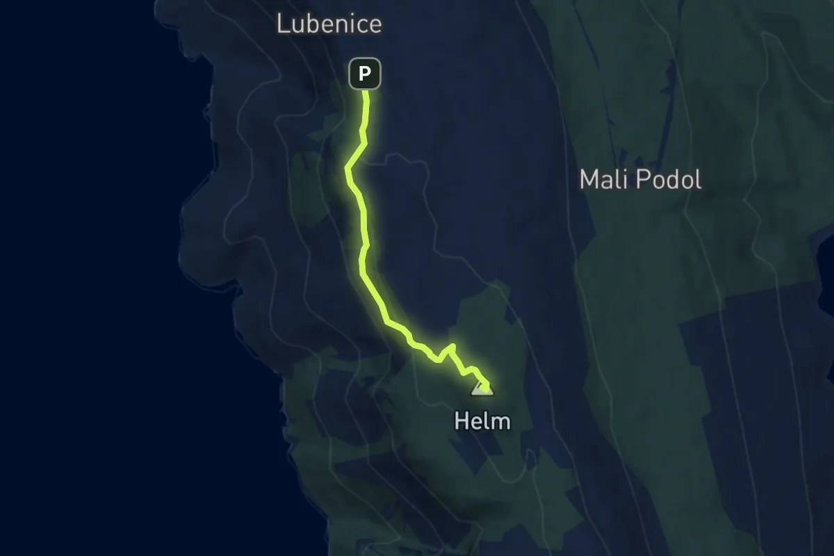
Demanding · Summit
326 Lubenice - špilja Morska Peć - Helm - Lubenice
5.6 km · ↑ 248 m · 1 h 52 min · 10 km away
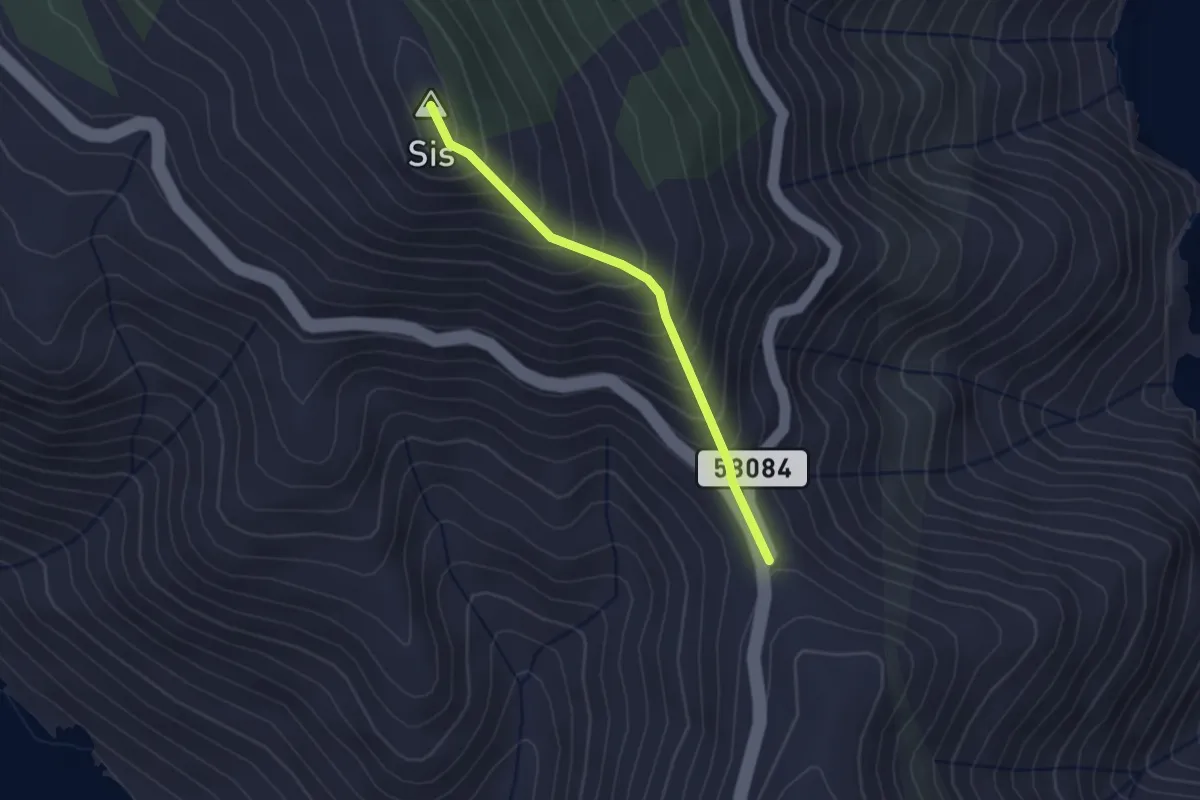
Medium · Summit
306 Prijevoj Križići – Sis
2.4 km · ↑ 267 m · 1 h 8 min · 12 km away
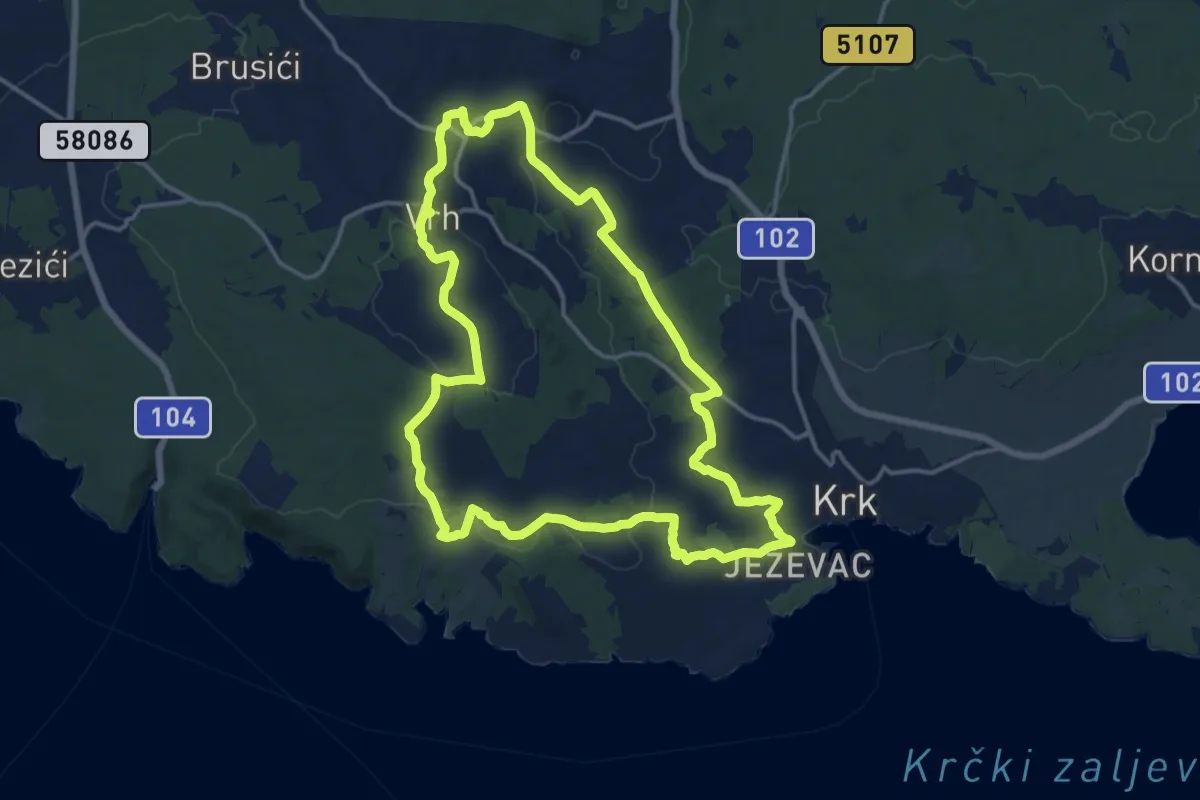
Medium · Trail
Put maslina
15.6 km · ↑ 307 m · 4 h 34 min · 14 km away