Trails near Krk
24 hikes starting within 15 km, nearest first.
Nearest first
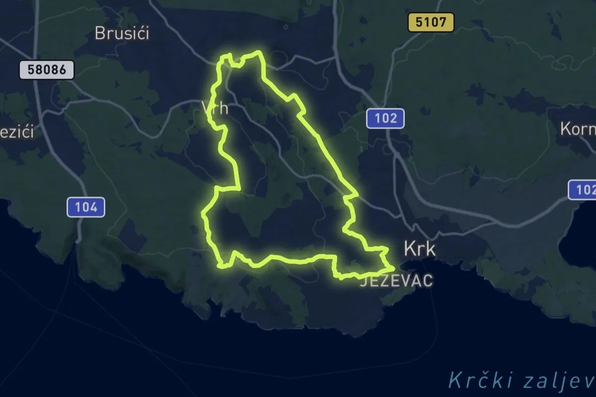
Medium · Trail
Put maslina
15.6 km · ↑ 307 m · 4 h 34 min · 1 km away
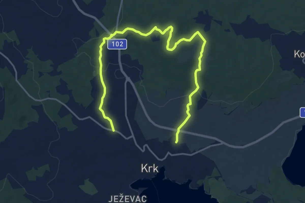
Medium · Trail
Krk – Krk
14.1 km · ↑ 230 m · 3 h 50 min · 1 km away
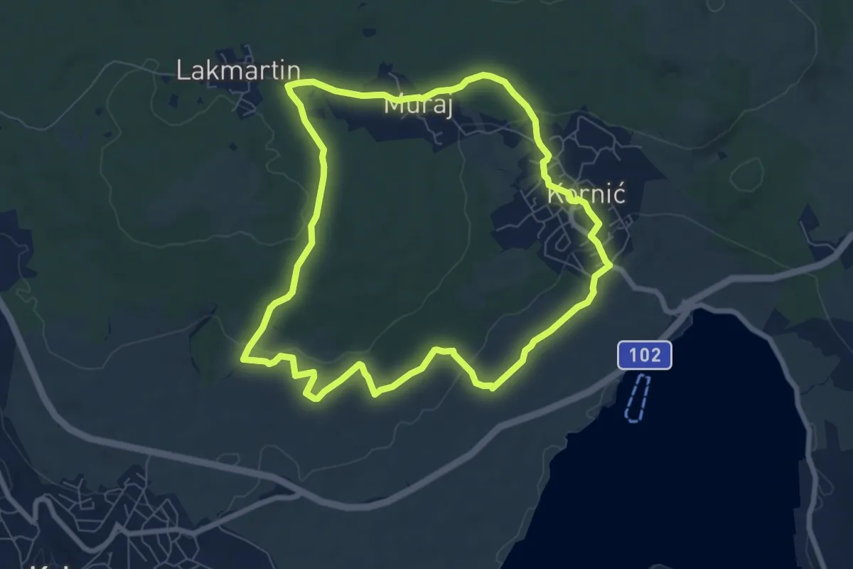
Easy · Trail
Put maslina
7.4 km · ↑ 141 m · 2 h 10 min · 3 km away
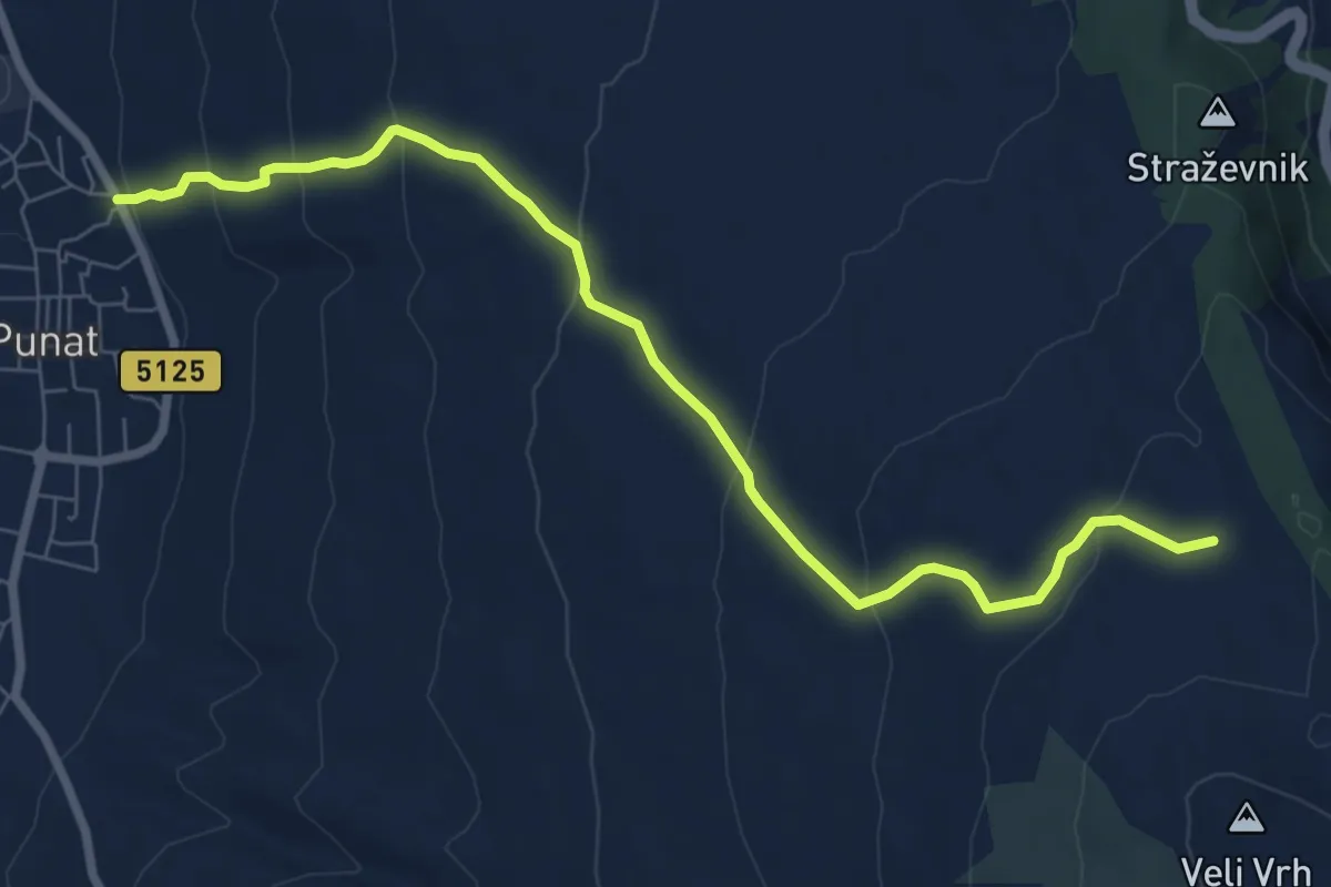
Medium · Trail
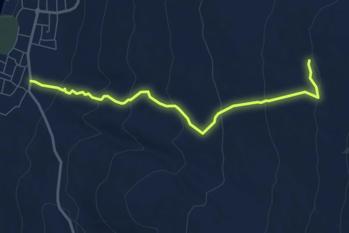
Punat - Žičevo
8.4 km · ↑ 377 m · 2 h 48 min · 5 km away
Medium · Trail
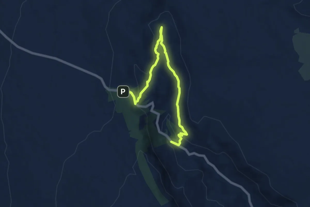
Punat - Barbina
6.6 km · ↑ 326 m · 2 h 16 min · 7 km away
Expert · Trail
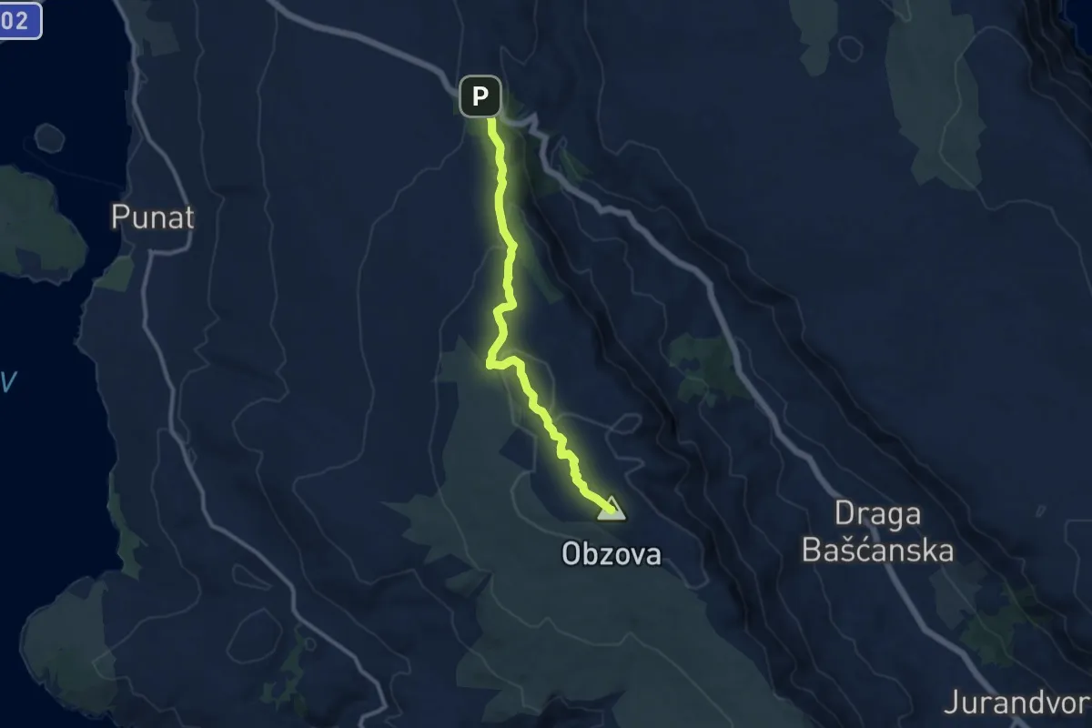
Izvor Žanac - Ispod Treskavca
9.0 km · ↑ 235 m · 2 h 38 min · 8 km away
Medium · Summit
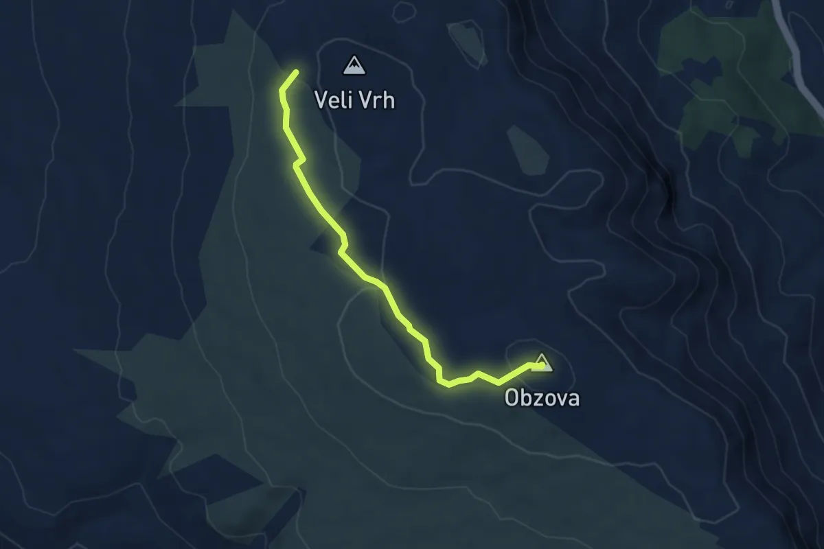
Treskavac - Obzova
10.1 km · ↑ 323 m · 3 h 6 min · 8 km away
Easy · Summit
Mali Vrh - Obzova
4.7 km · ↑ 130 m · 1 h 23 min · 8 km away
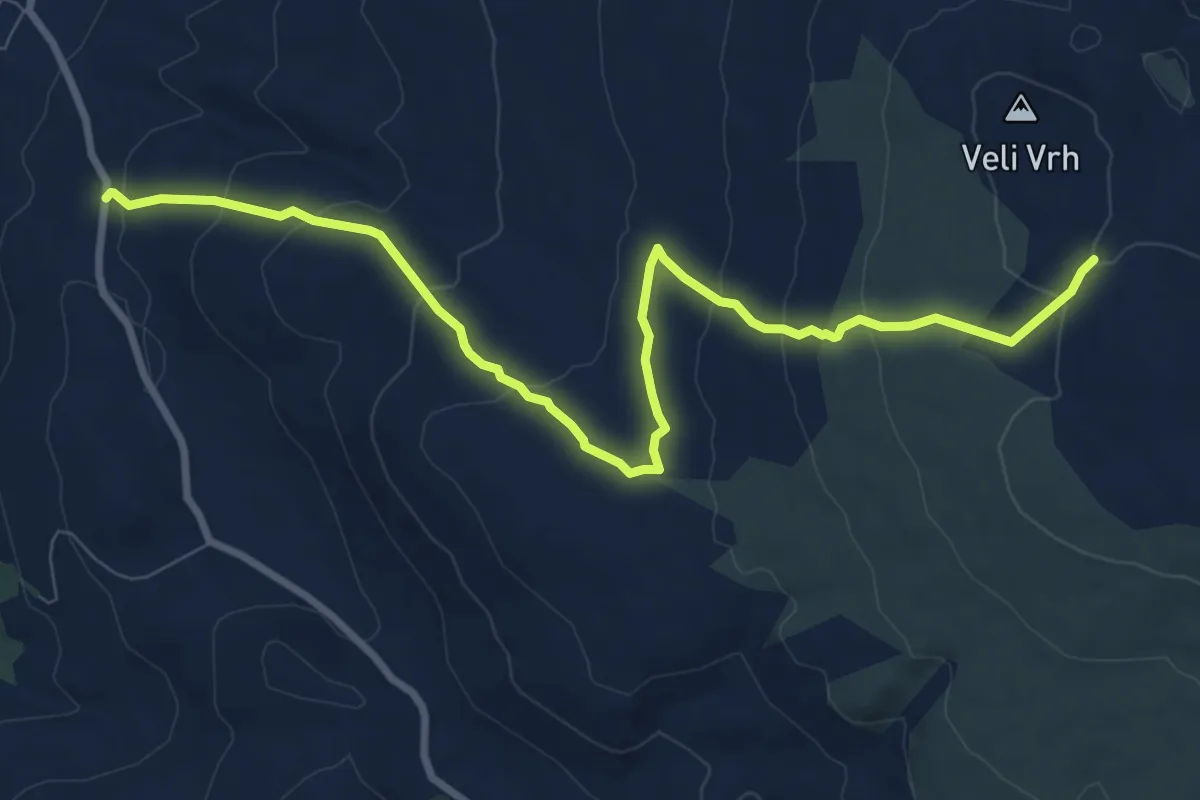
Medium · Trail
Za Rimon - Na Hramčići
10.4 km · ↑ 436 m · 3 h 24 min · 9 km away
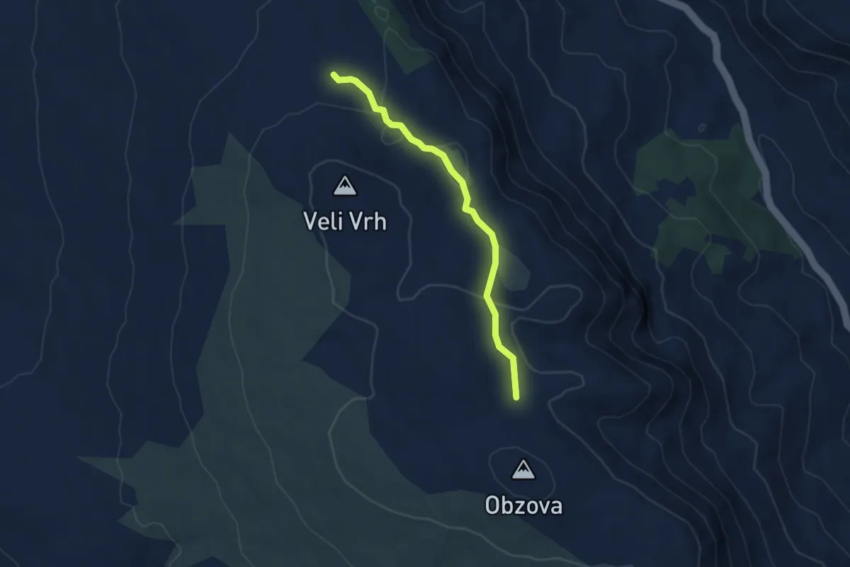
Easy · Trail
Lokva Kaljužina - Na Plakari
4.2 km · ↑ 122 m · 1 h 15 min · 9 km away
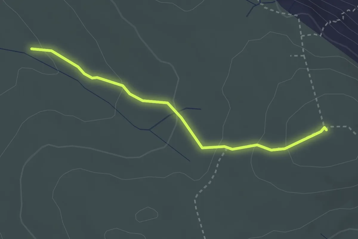
Medium · Summit
Kanjine - Veliki Hlam
2.8 km · ↑ 121 m · 55 min · 11 km away
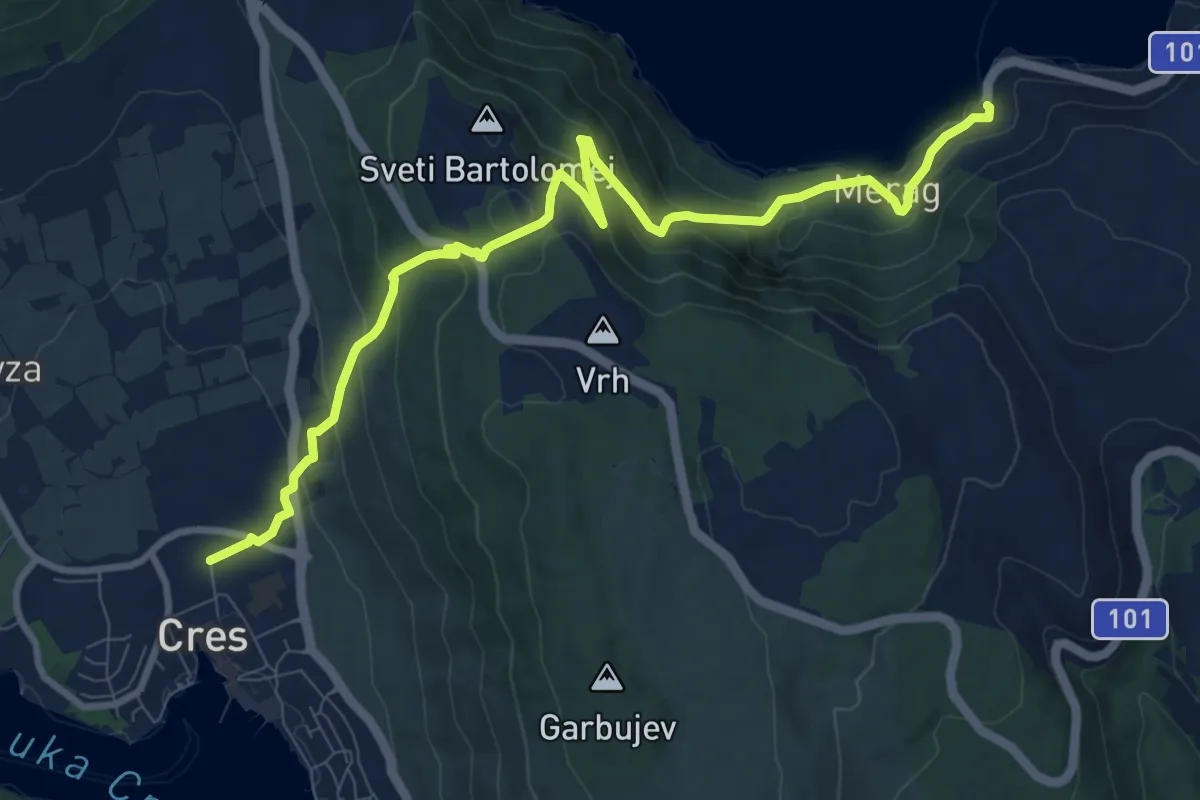
Medium · Trail
Via Apsyrtides - aproaches (Merag)
11.0 km · ↑ 652 m · 4 h · 11 km away
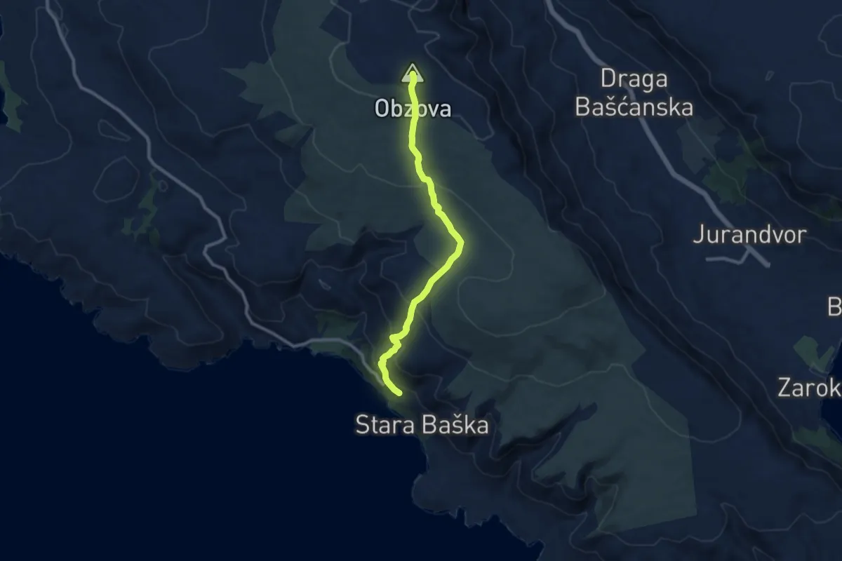
Medium · Summit
Stara Baška - Obzova
9.0 km · ↑ 480 m · 3 h 10 min · 11 km away
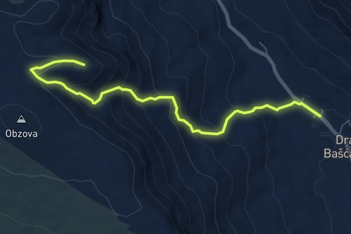
Medium · Trail
Draga Bašćanska - Obzova
6.4 km · ↑ 476 m · 2 h 33 min · 12 km away
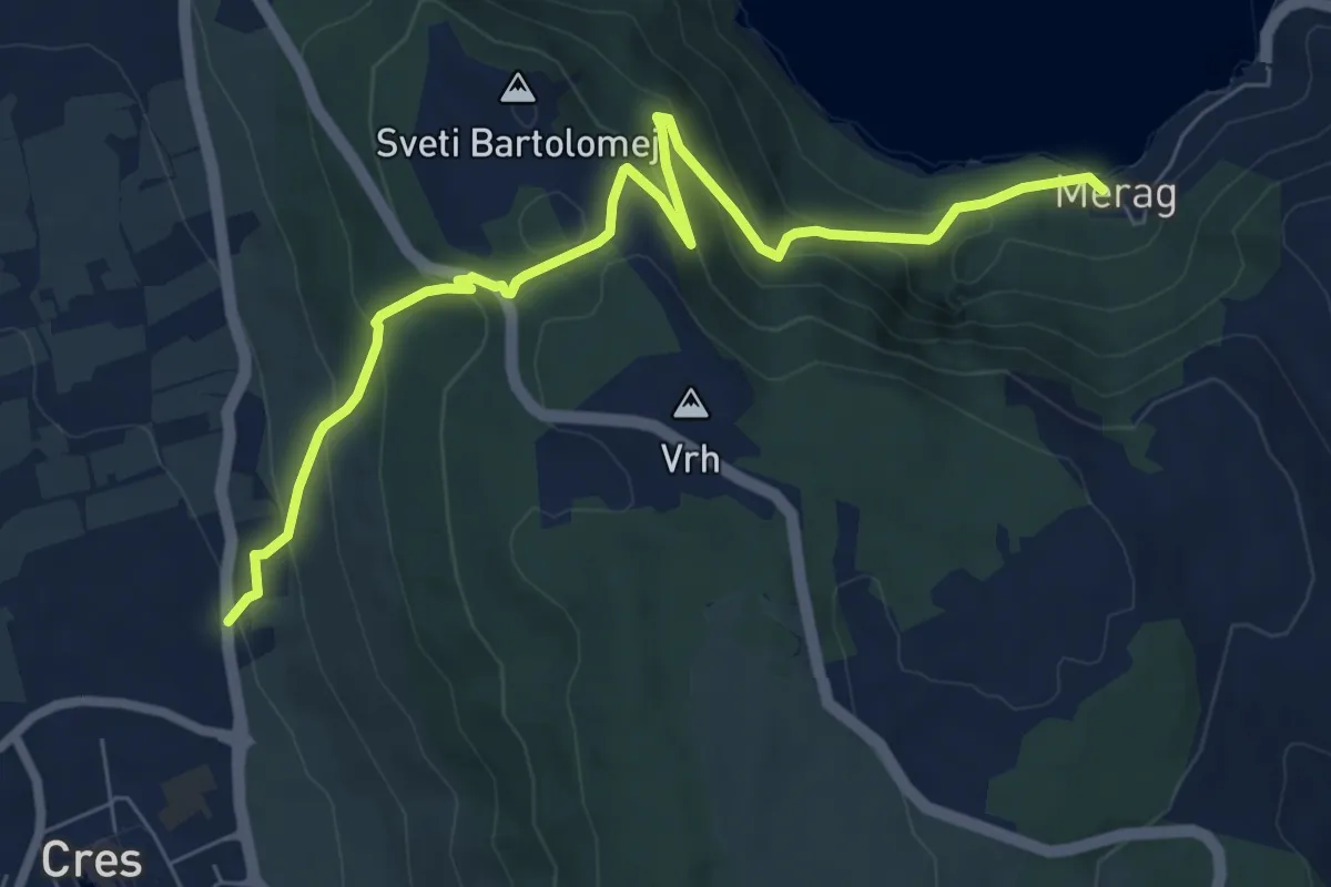
Medium · Trail
317 Cres-Merag
8.3 km · ↑ 539 m · 3 h 7 min · 12 km away
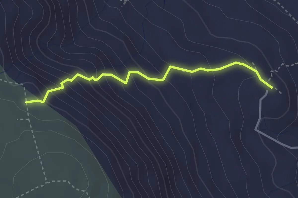
Medium · Trail
Svet. Majke Božje Goričke - Lipica
2.8 km · ↑ 301 m · 1 h 19 min · 12 km away
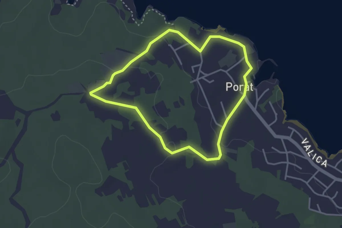
Easy · Trail
Cesta maslina
3.1 km · ↑ 45 m · 52 min · 12 km away
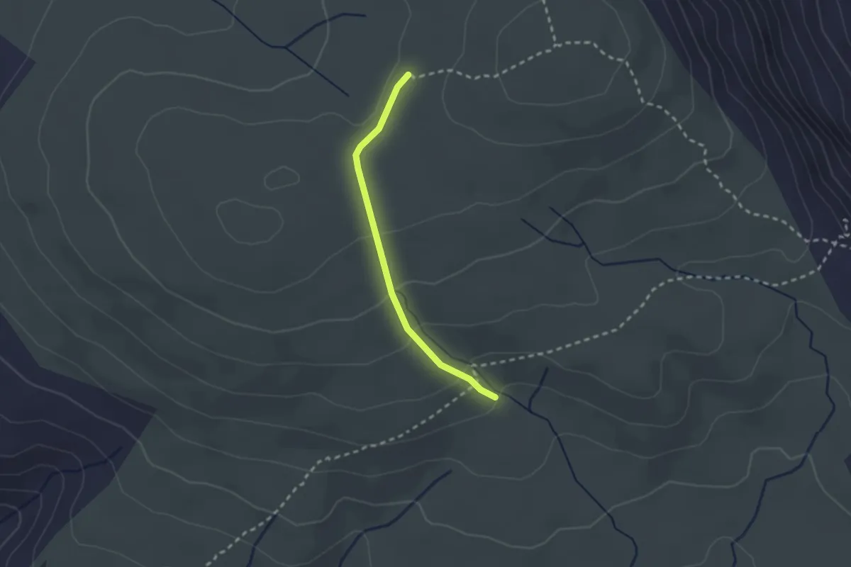
Medium · Trail
Jasenova - Spuhotina
2.1 km · ↑ 81 m · 40 min · 12 km away
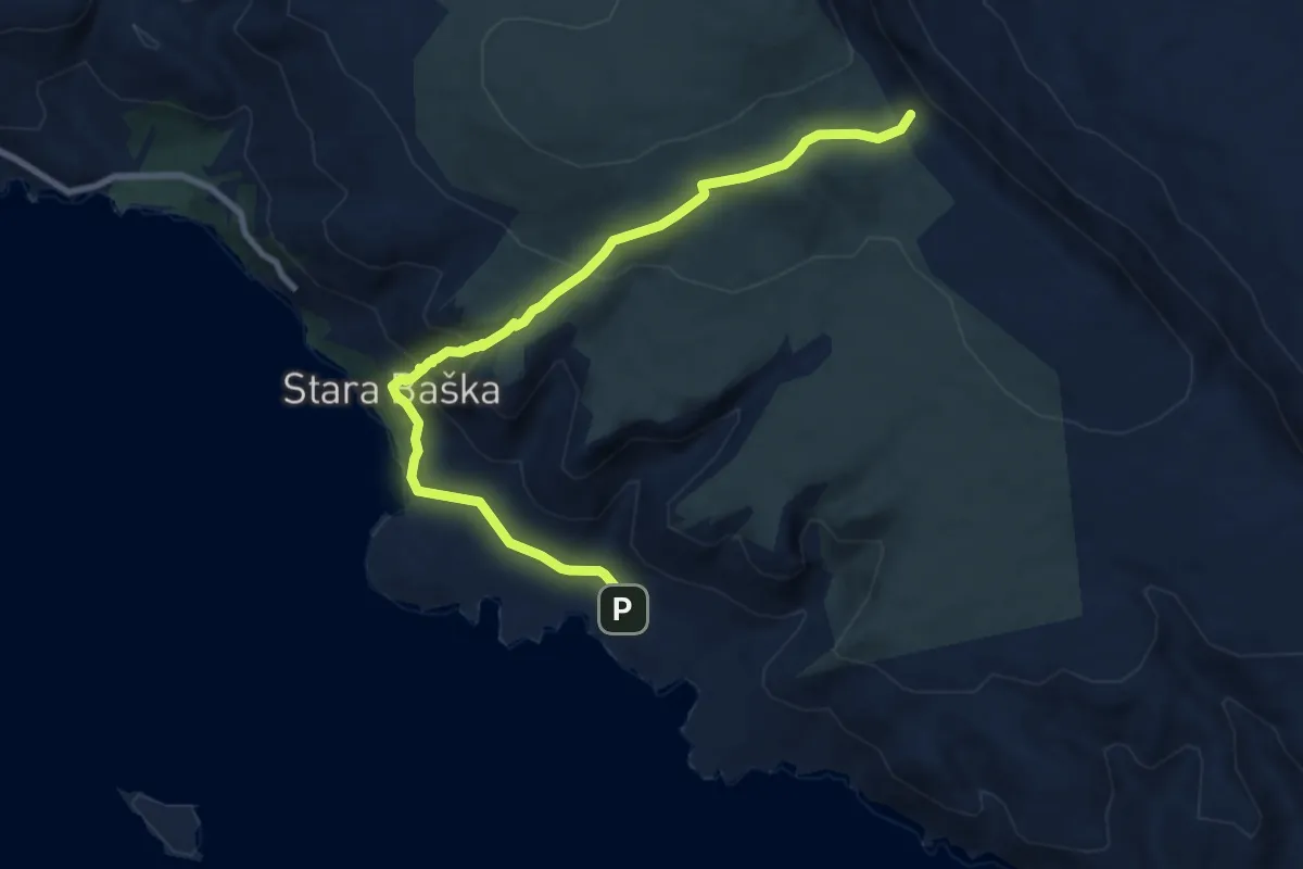
Medium · Trail
Baška - Stara Baška
9.3 km · ↑ 518 m · 3 h 19 min · 13 km away
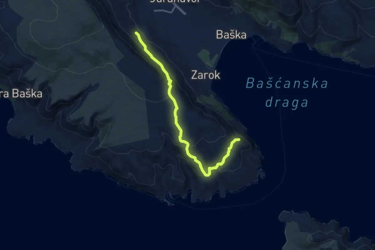
Medium · Summit
Baška - Vraca
10.9 km · ↑ 515 m · 3 h 42 min · 13 km away
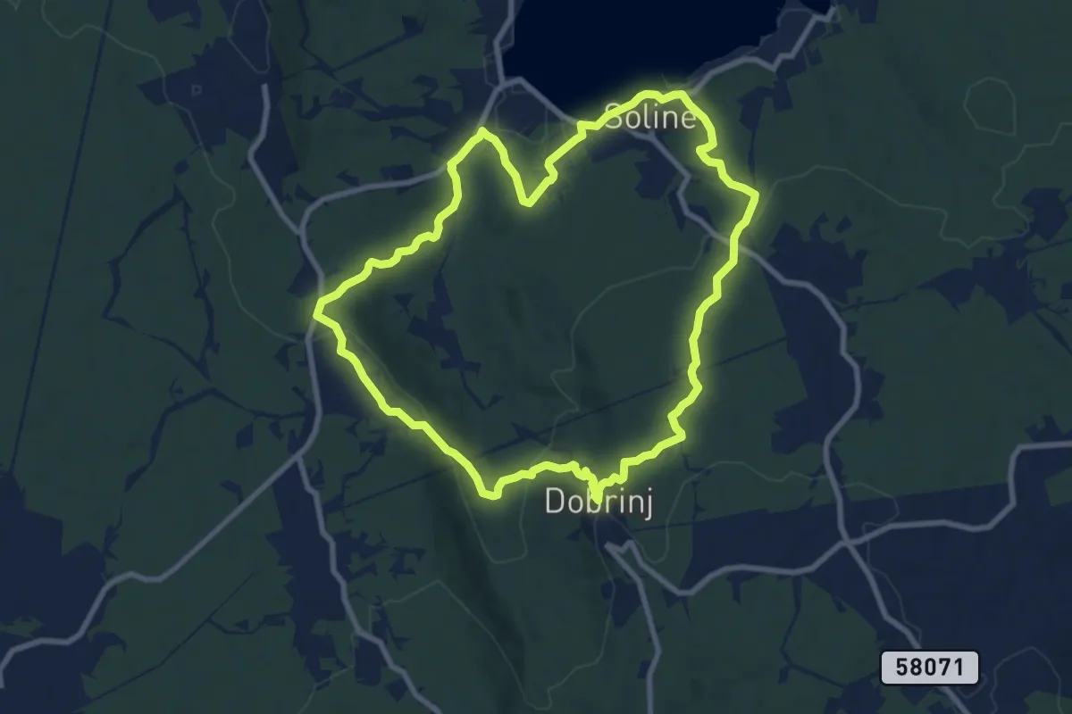
Medium · Trail
Dobrinj – Dobrinl
8.7 km · ↑ 263 m · 2 h 45 min · 14 km away
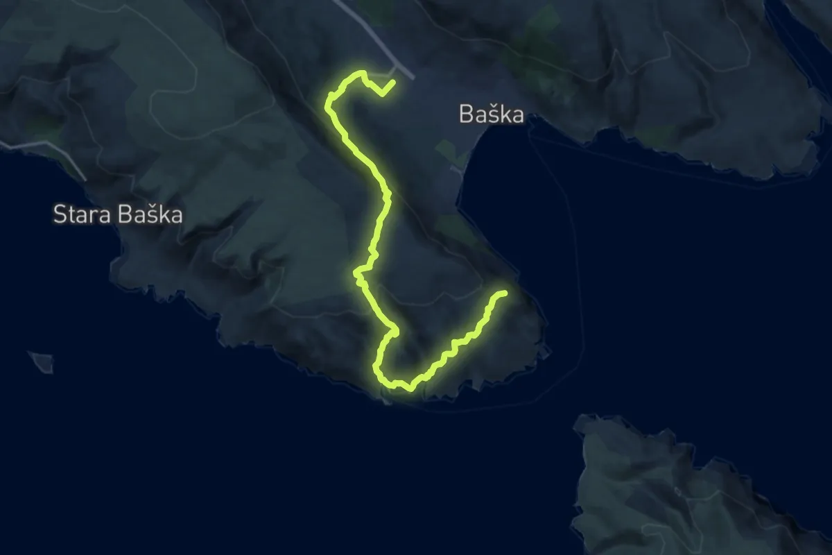
Demanding · Summit
Baska – Baska
17.7 km · ↑ 832 m · 5 h 59 min · 14 km away
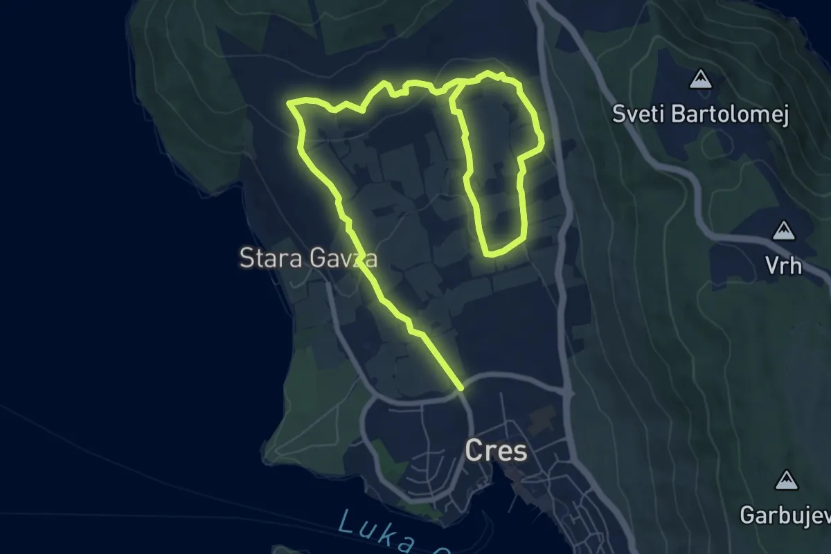
Easy · Trail
Staza stoljetnih maslinika
5.9 km · ↑ 121 m · 1 h 46 min · 14 km away
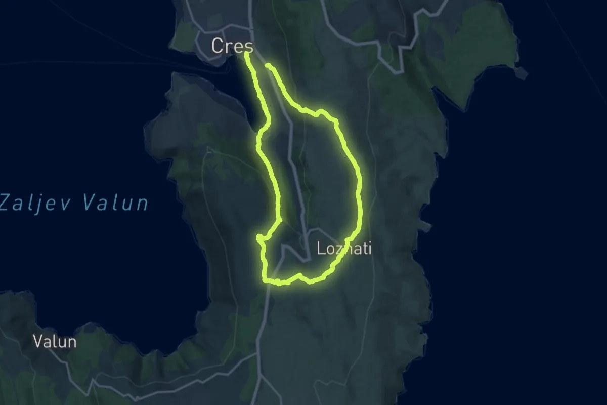
Demanding · Trail
313 Cres – Loznati – Krčina – Cres
25.8 km · ↑ 746 m · 7 h 42 min · 15 km away