Trails near Opatija
68 hikes starting within 15 km, nearest first.
Nearest first, page 2 of 2
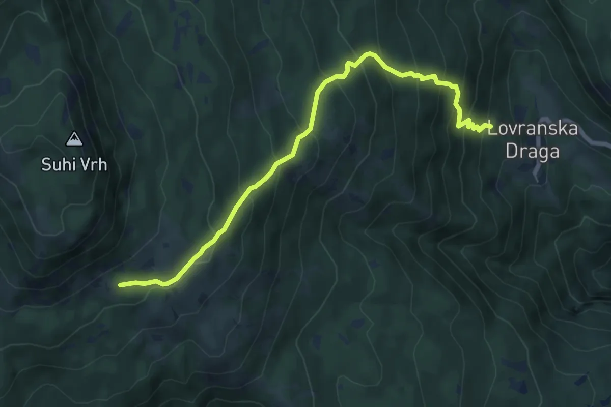
Medium · Trail
660
6.4 km · ↑ 584 m · 2 h 47 min · 11 km away
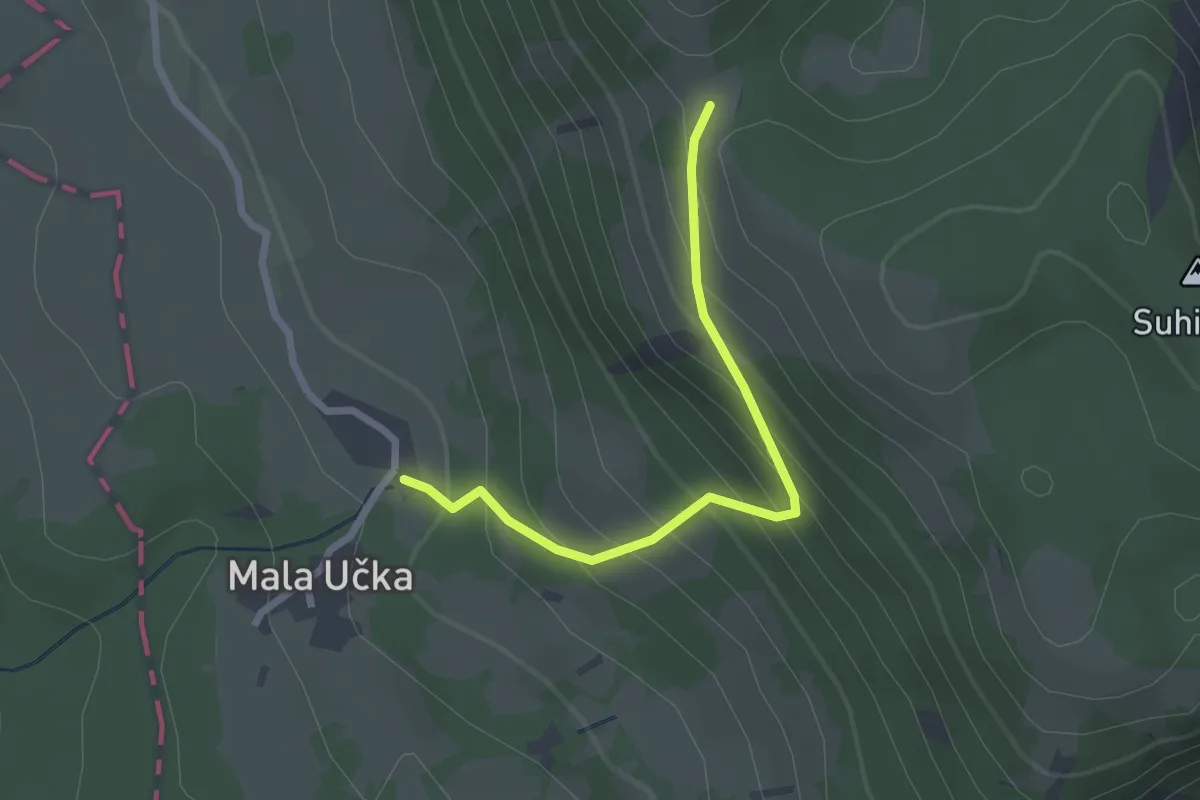
Easy · Trail
601
2.4 km · ↑ 250 m · 1 h 6 min · 11 km away
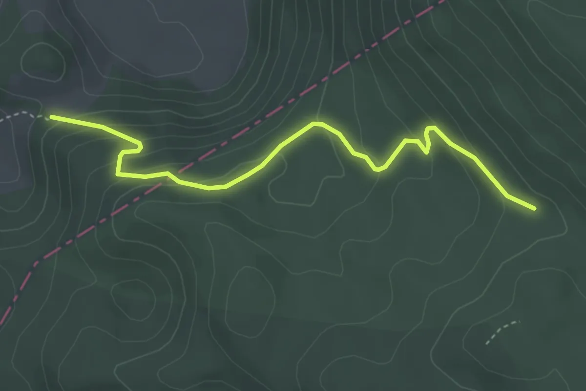
Easy · Trail
023
4.1 km · ↑ 211 m · 1 h 25 min · 11 km away
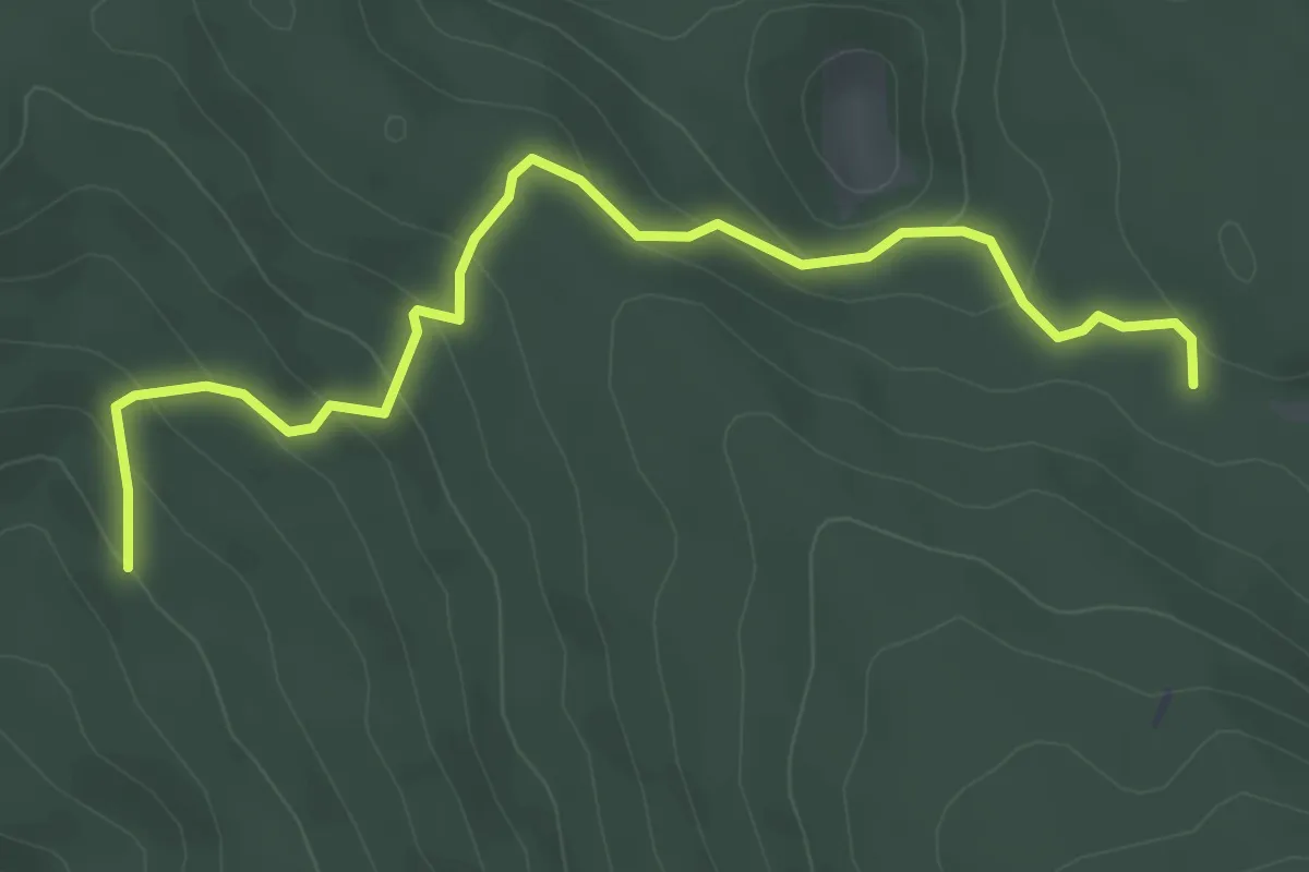
Easy · Trail
PD Glas Istre, Pula – (x) s PP Veprinačka c.-Planik
4.5 km · ↑ 265 m · 1 h 38 min · 12 km away
Medium · Summit
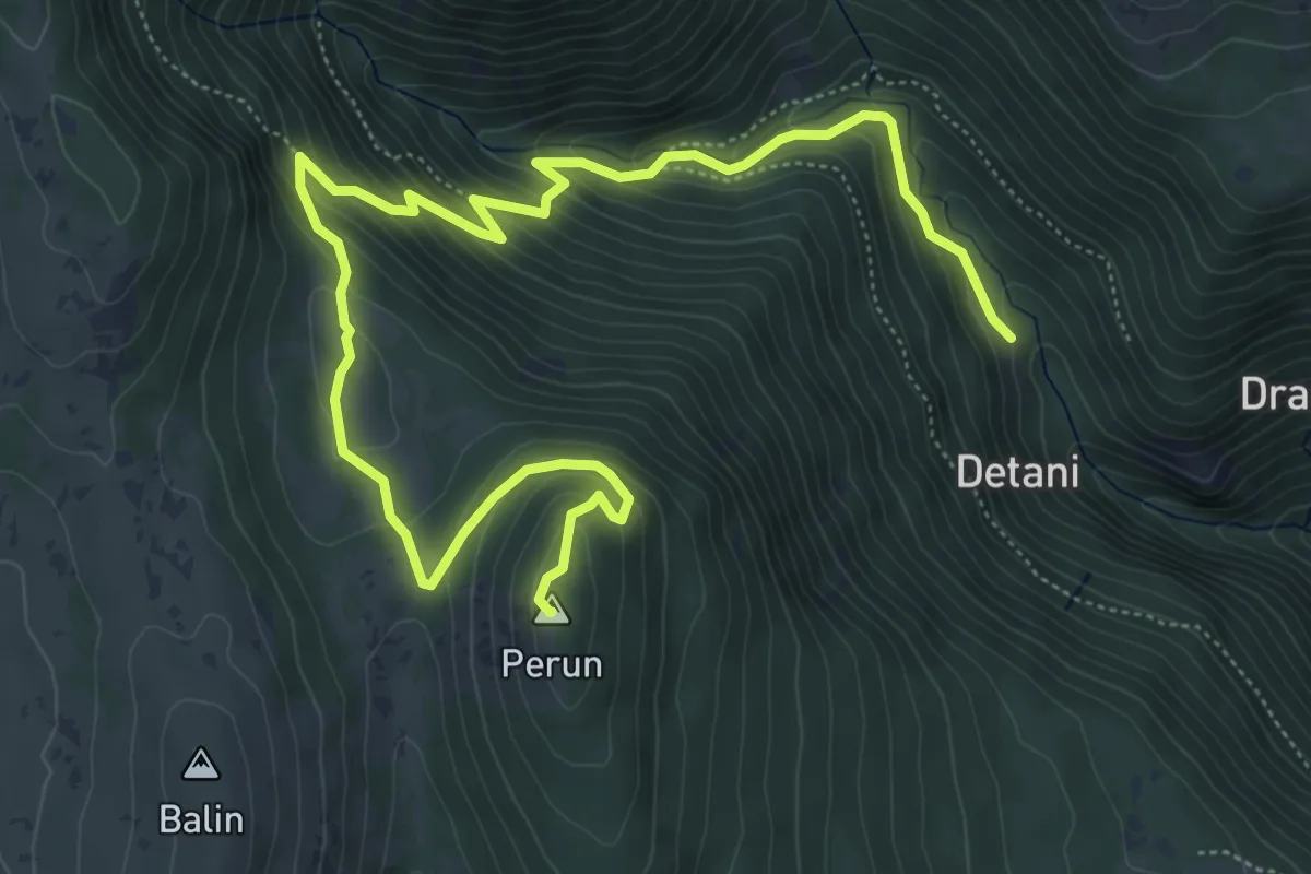
Mitsko-povijesna staza “Trebišća – Perun”
8.3 km · ↑ 563 m · 3 h 11 min · 12 km away
Easy · Trail
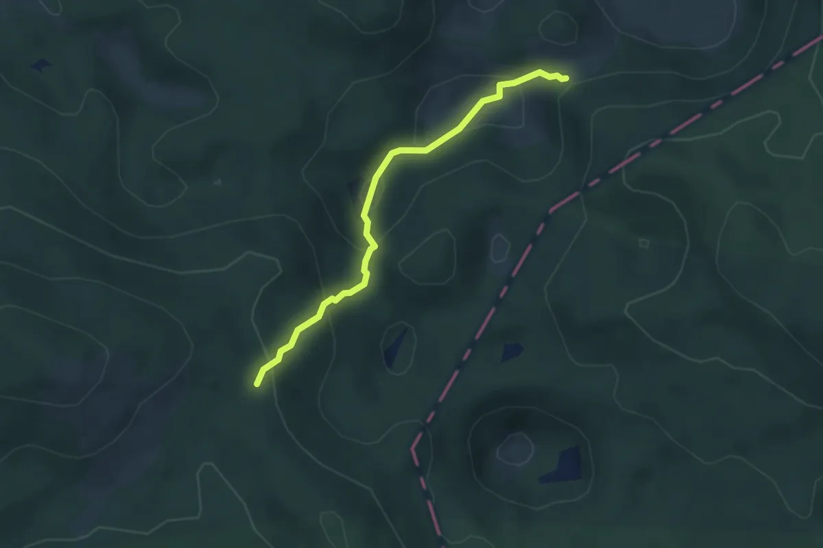
312
3.4 km · ↑ 235 m · 1 h 19 min · 12 km away
Easy · Trail
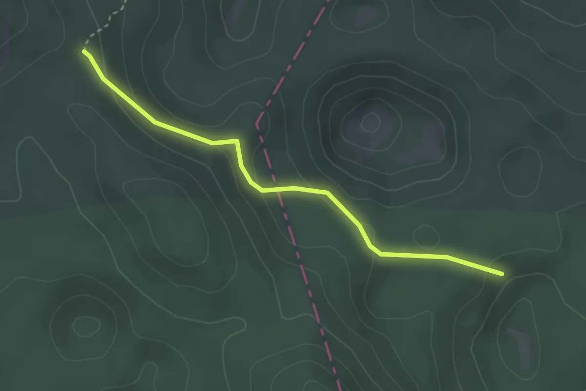
313
3.1 km · ↑ 123 m · 1 h · 12 km away
Medium · Trail
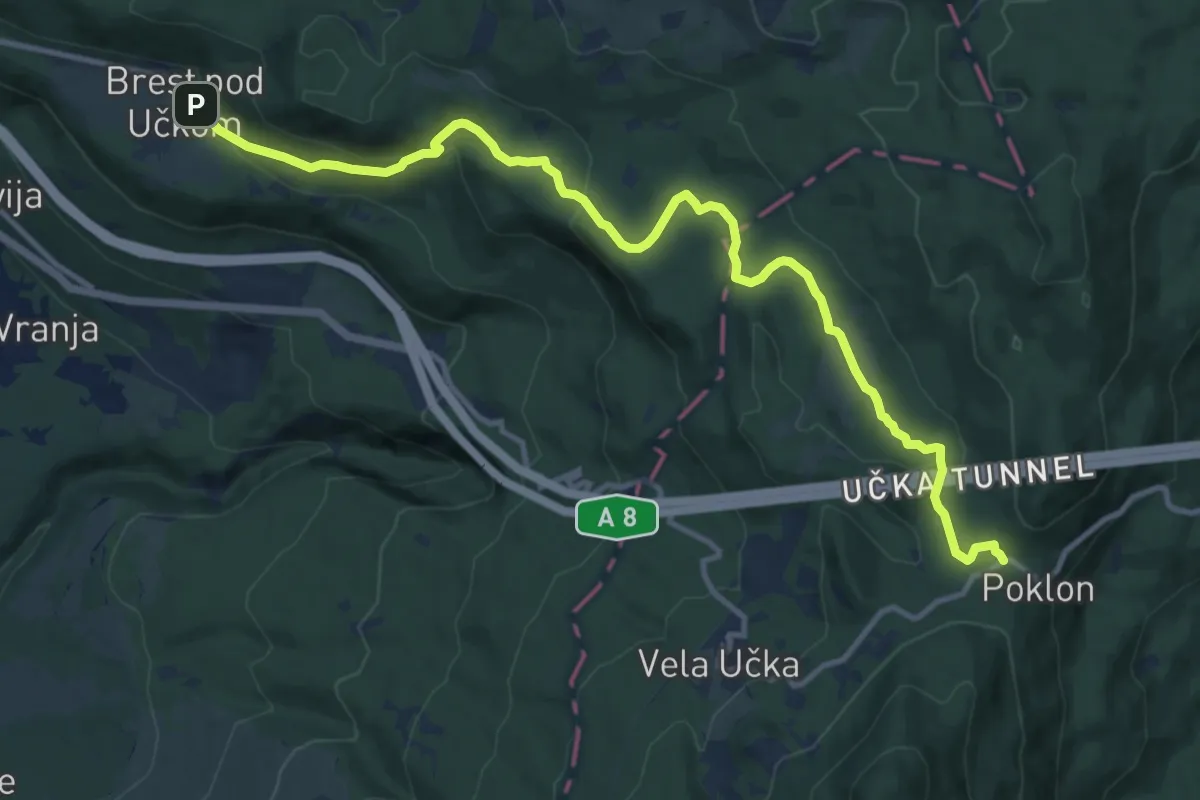
443
13.6 km · ↑ 404 m · 4 h 5 min · 12 km away
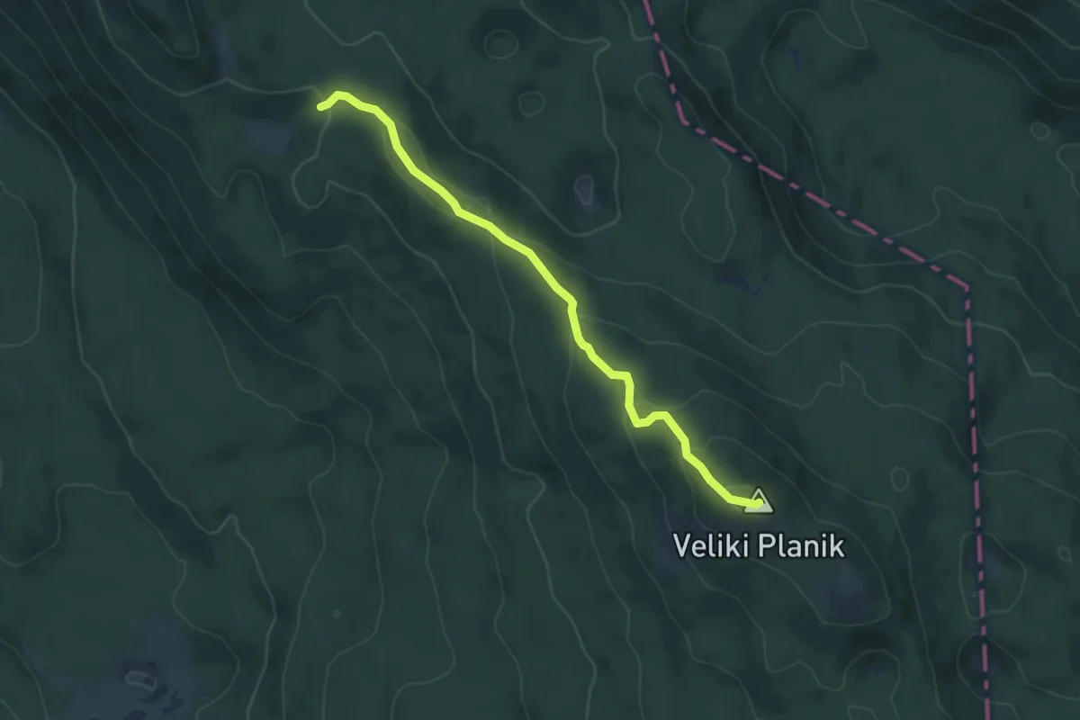
Easy · Summit
400
5.9 km · ↑ 275 m · 2 h · 12 km away
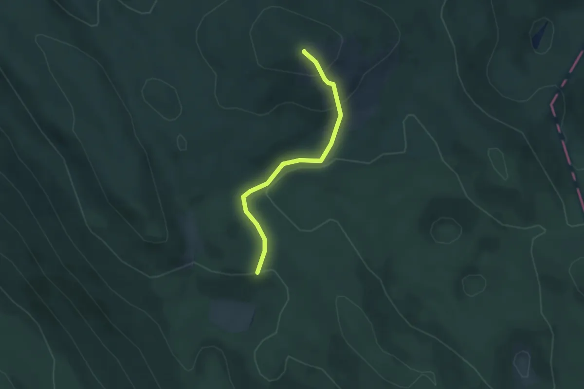
Easy · Summit
311
2.9 km · ↑ 152 m · 1 h 1 min · 12 km away
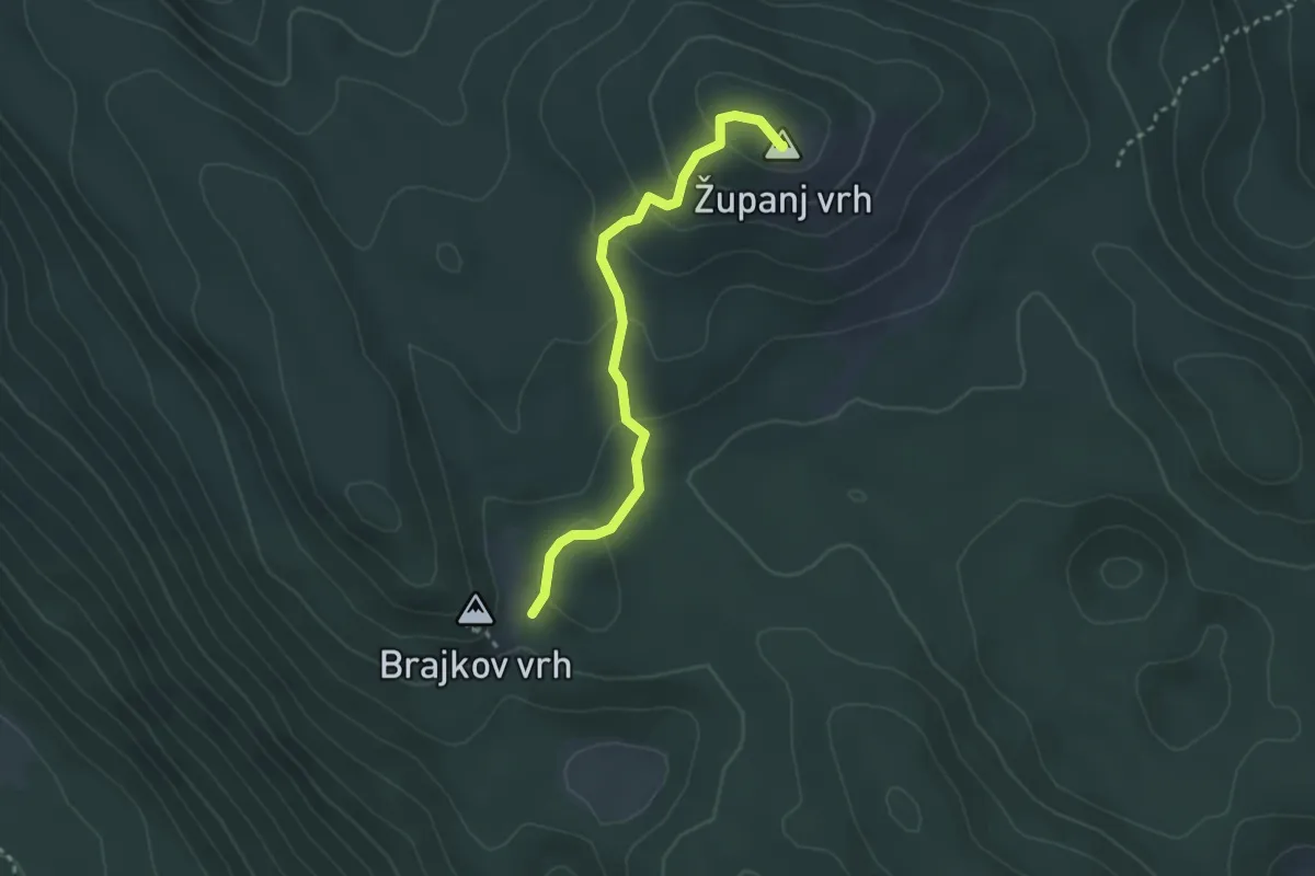
Easy · Summit
310
2.9 km · ↑ 115 m · 57 min · 12 km away
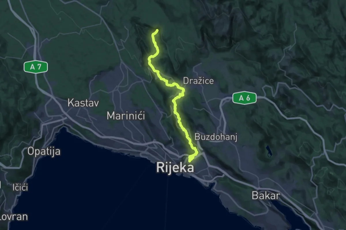
Medium · Trail
Šetnica uz Rječinu
16.6 km · ↑ 335 m · 5 h 1 min · 13 km away
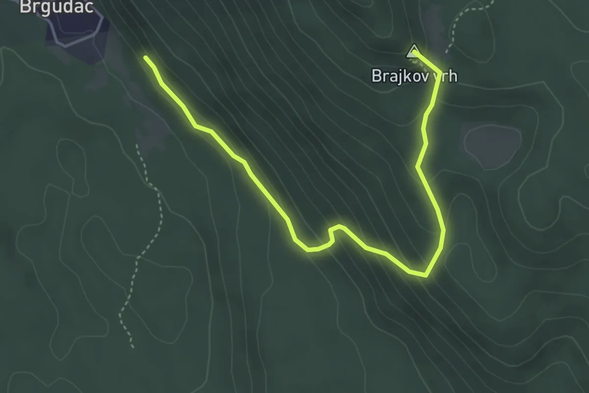
Easy · Summit
317
4.8 km · ↑ 282 m · 1 h 44 min · 13 km away
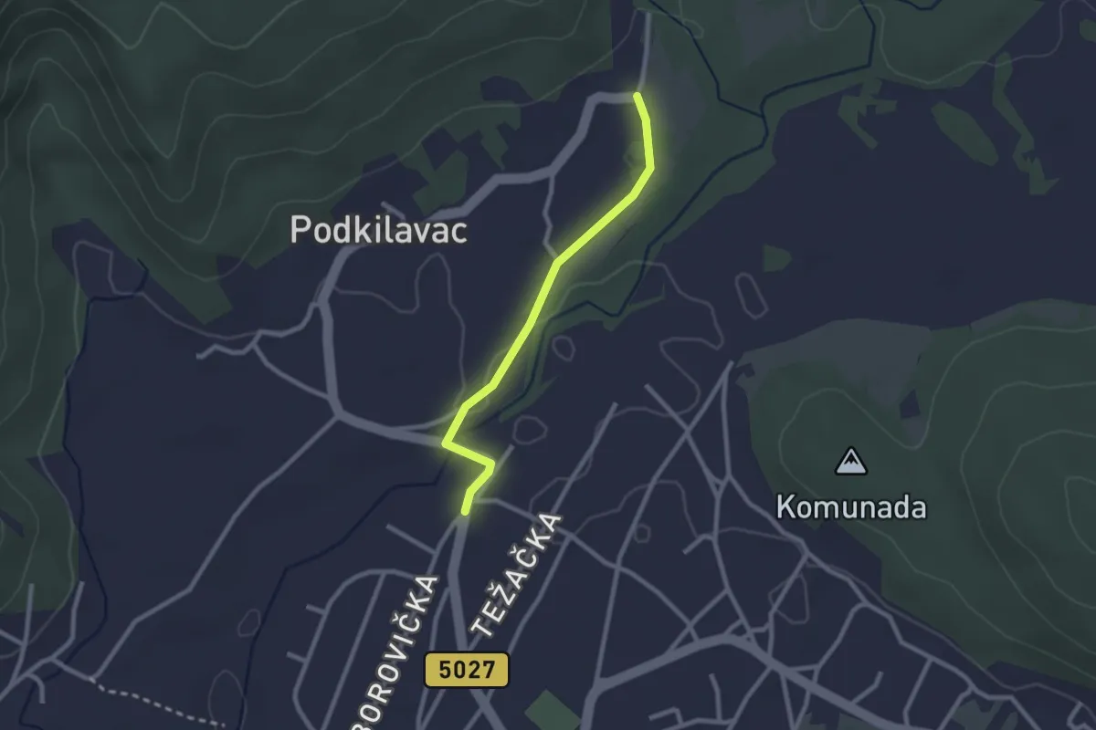
Easy · Trail
Dražice - Podkilavac
2.3 km · ↑ 13 m · 34 min · 14 km away
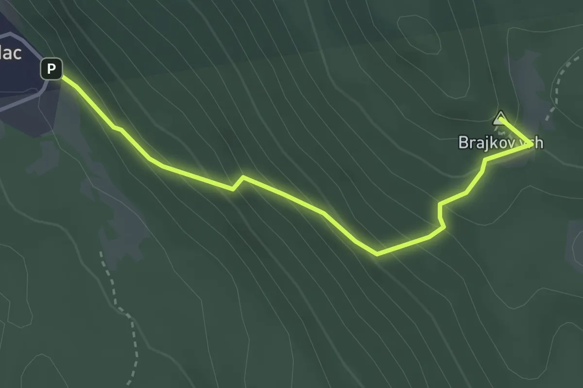
Easy · Summit
316
3.3 km · ↑ 287 m · 1 h 24 min · 14 km away
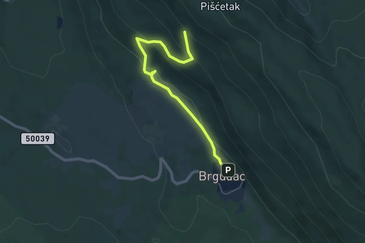
Easy · Trail
318
4.5 km · ↑ 173 m · 1 h 26 min · 14 km away
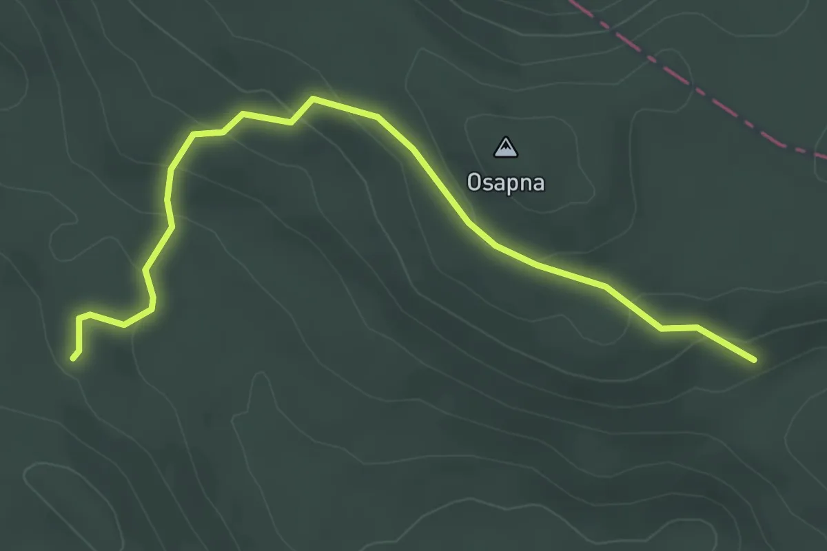
Easy · Trail
252
4.1 km · ↑ 160 m · 1 h 18 min · 14 km away
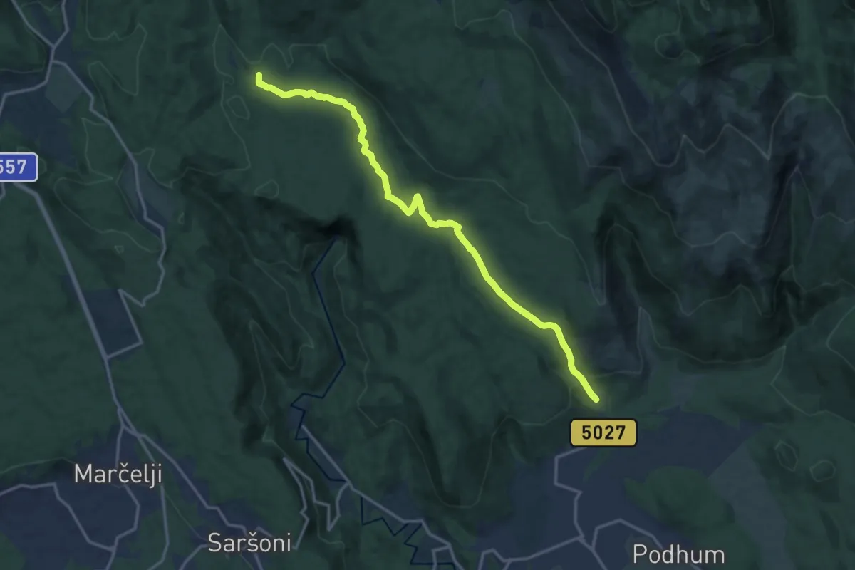
Medium · Trail
Podkilavac, Rastočine (X) s PP za Hahlić preko kolci – Ravno (x) s PP Studena-Obruč
14.7 km · ↑ 276 m · 4 h 4 min · 14 km away
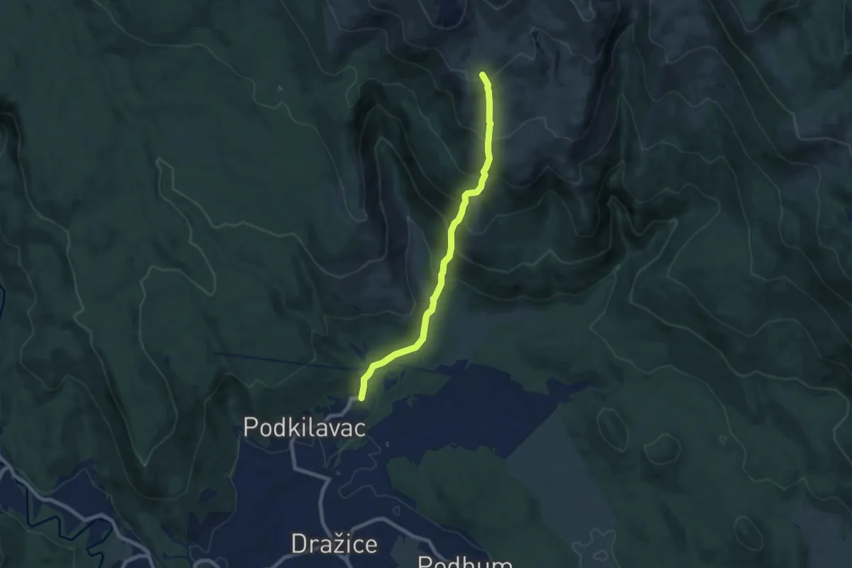
Medium · Trail
Podkilvac - Zapodi-Hahlić
7.4 km · ↑ 609 m · 3 h 4 min · 14 km away
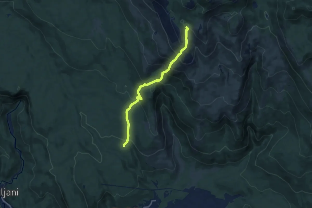
Medium · Summit
Planinarska staza na Hahlić
8.5 km · ↑ 625 m · 3 h 22 min · 14 km away