Trails near Senj
29 hikes starting within 15 km, nearest first.
Nearest first
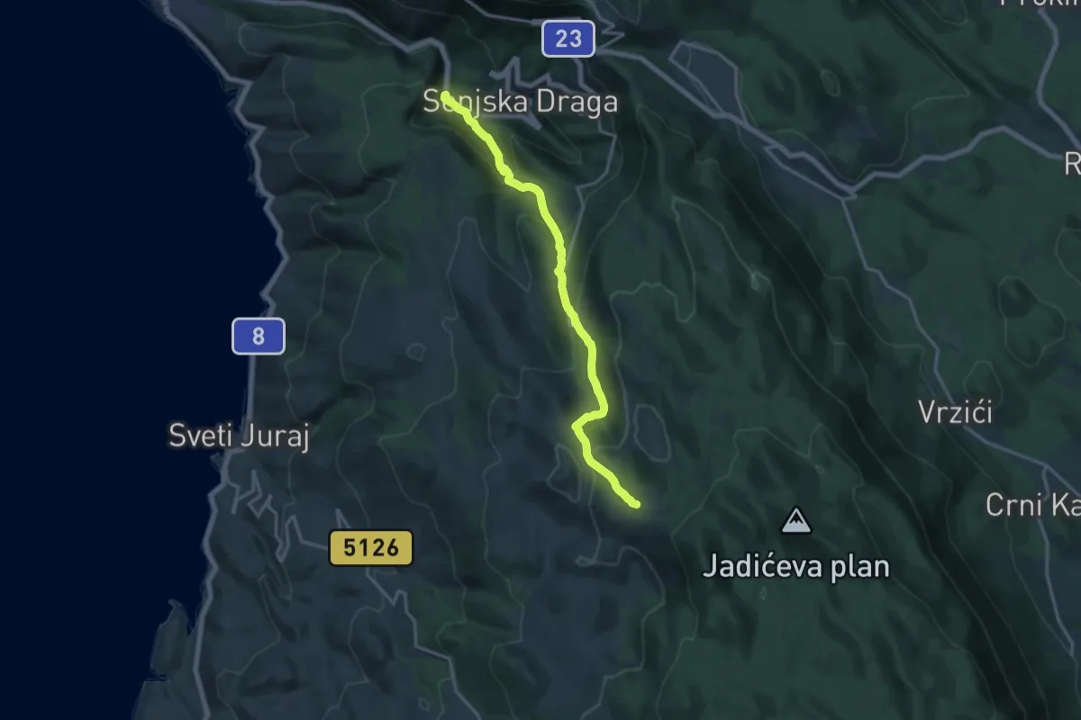
Demanding · Trail
11.02 HPS
15.4 km · ↑ 914 m · 5 h 38 min · 5 km away
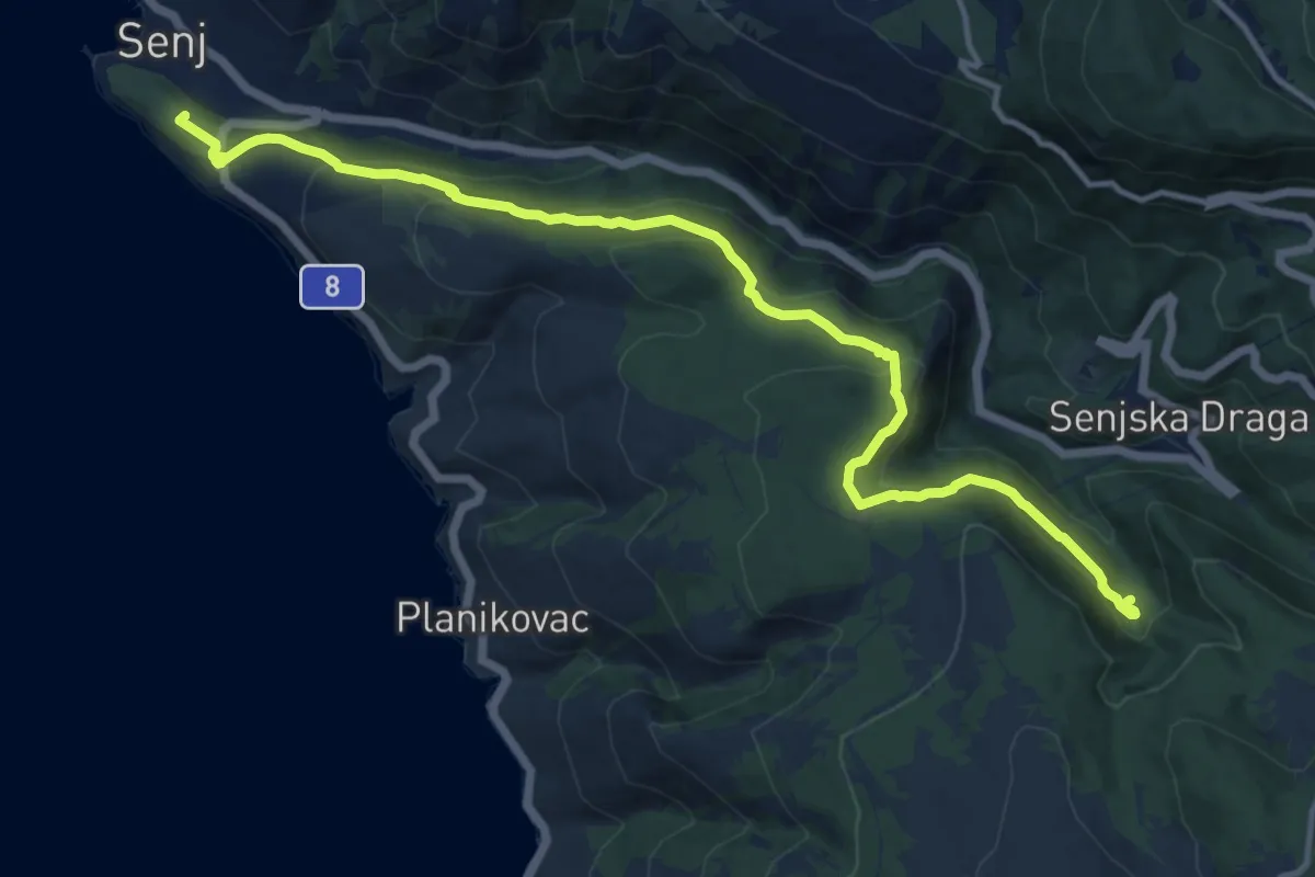
Medium · Summit
Senj - Planinarska kuća Sijaset
15.2 km · ↑ 621 m · 4 h 56 min · 6 km away
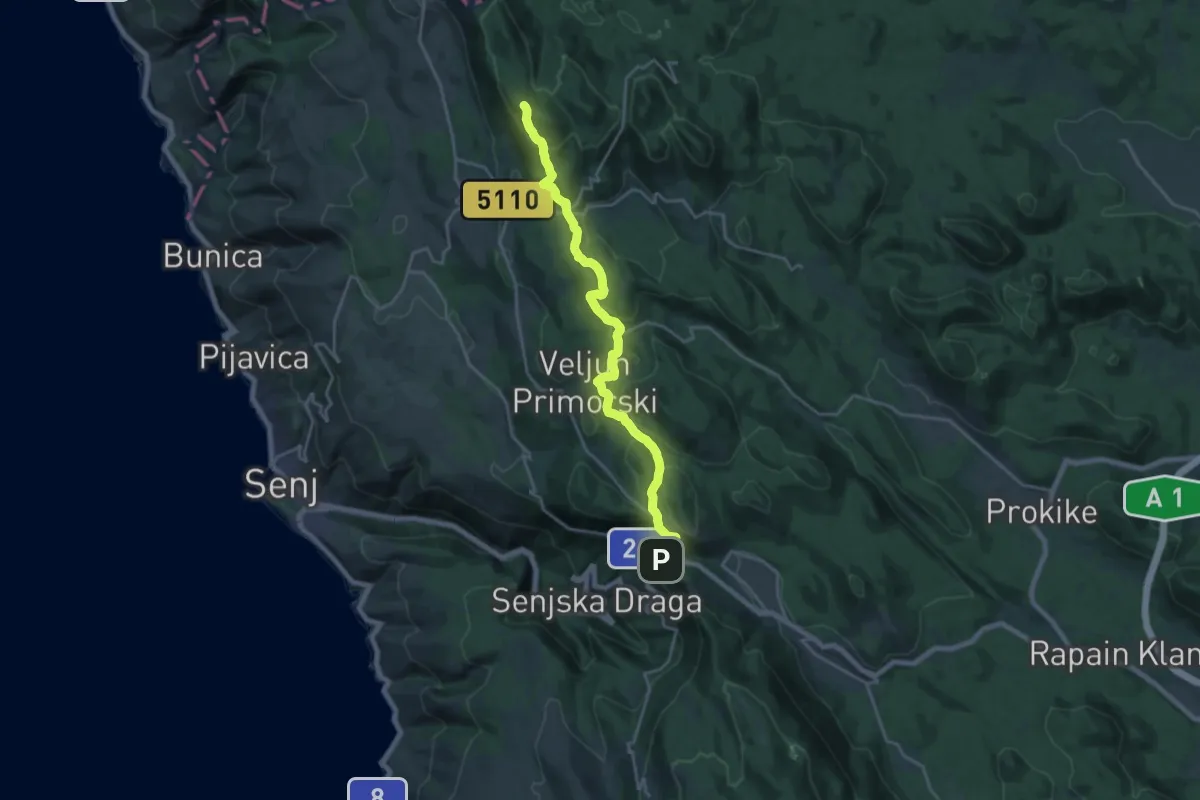
Demanding · Summit
Spojni put Kapela - Velebit
21.3 km · ↑ 735 m · 6 h 37 min · 7 km away
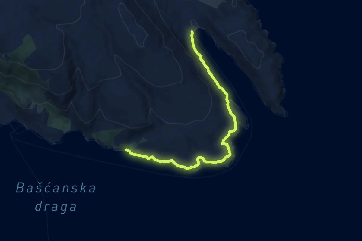
Medium · Trail
Vela Vrženica - Vela Luka
9.6 km · ↑ 162 m · 2 h 38 min · 8 km away
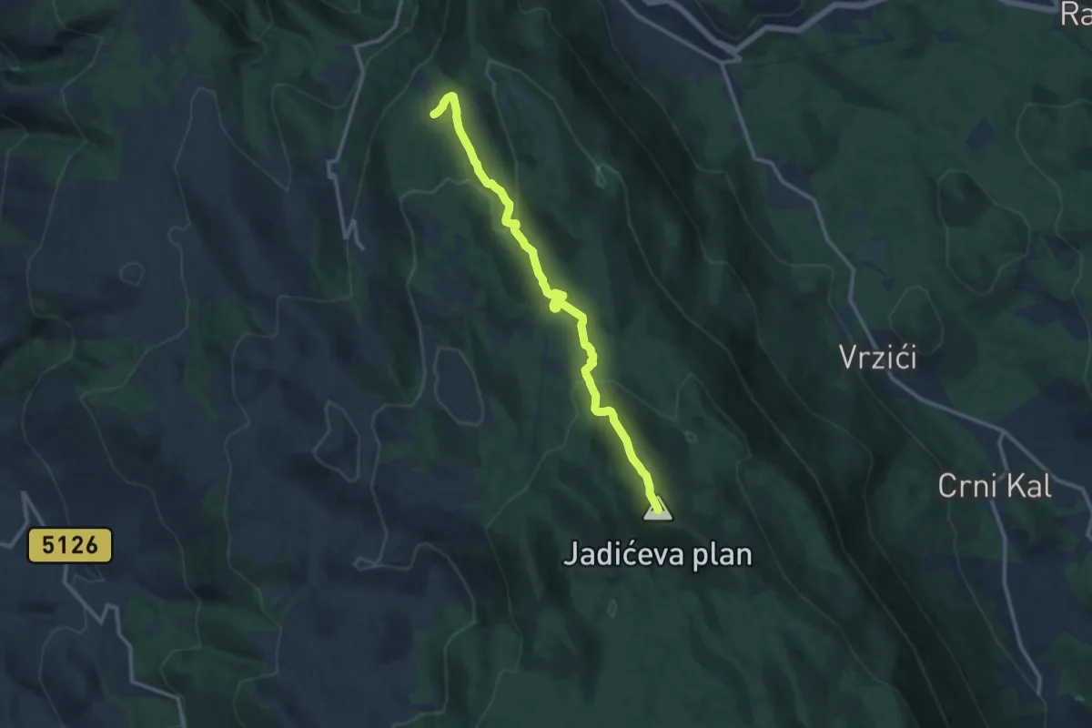
Medium · Summit
11.04 HPS
11.9 km · ↑ 531 m · 3 h 57 min · 8 km away
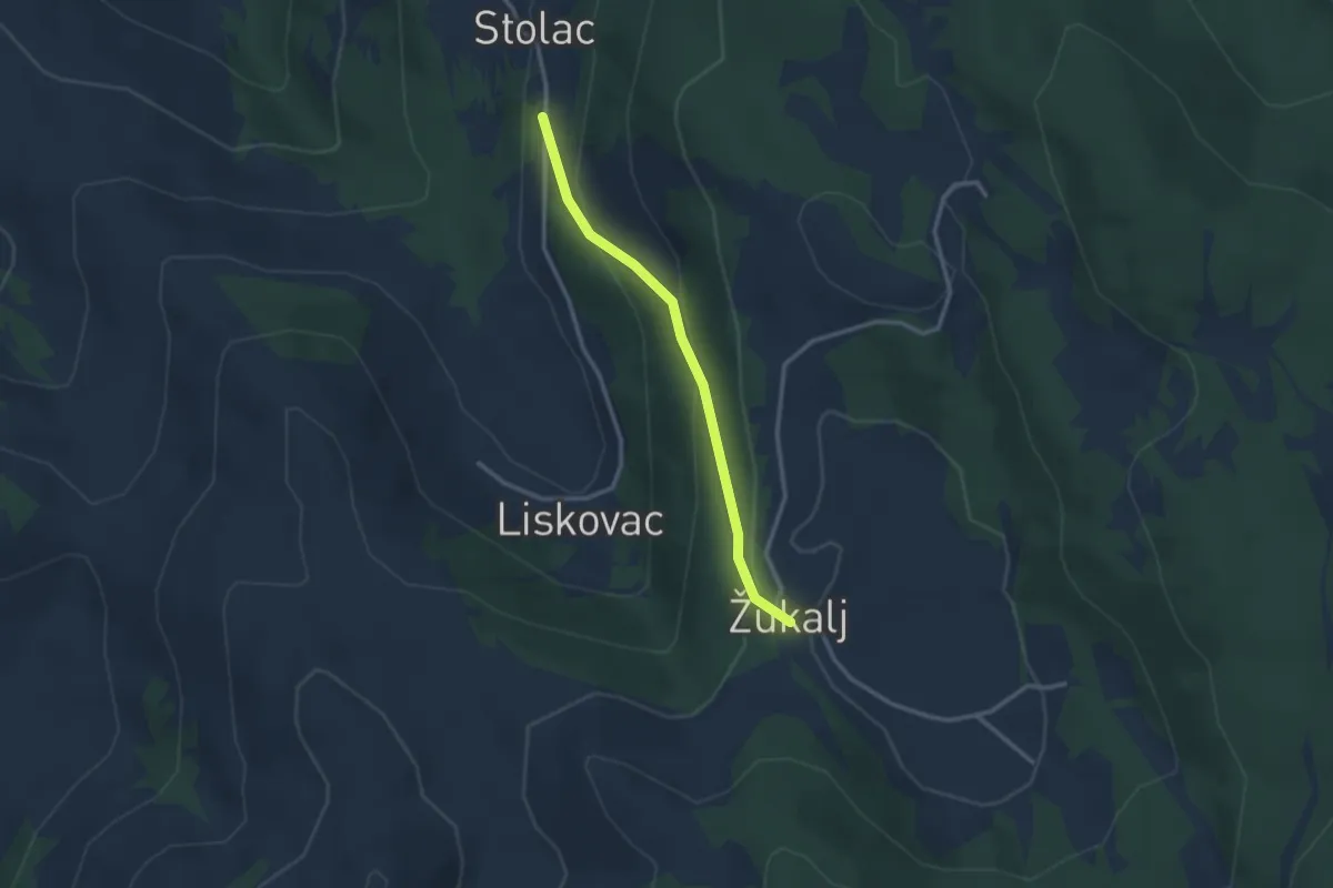
Easy · Trail
11.02a HPS
2.6 km · ↑ 141 m · 55 min · 9 km away
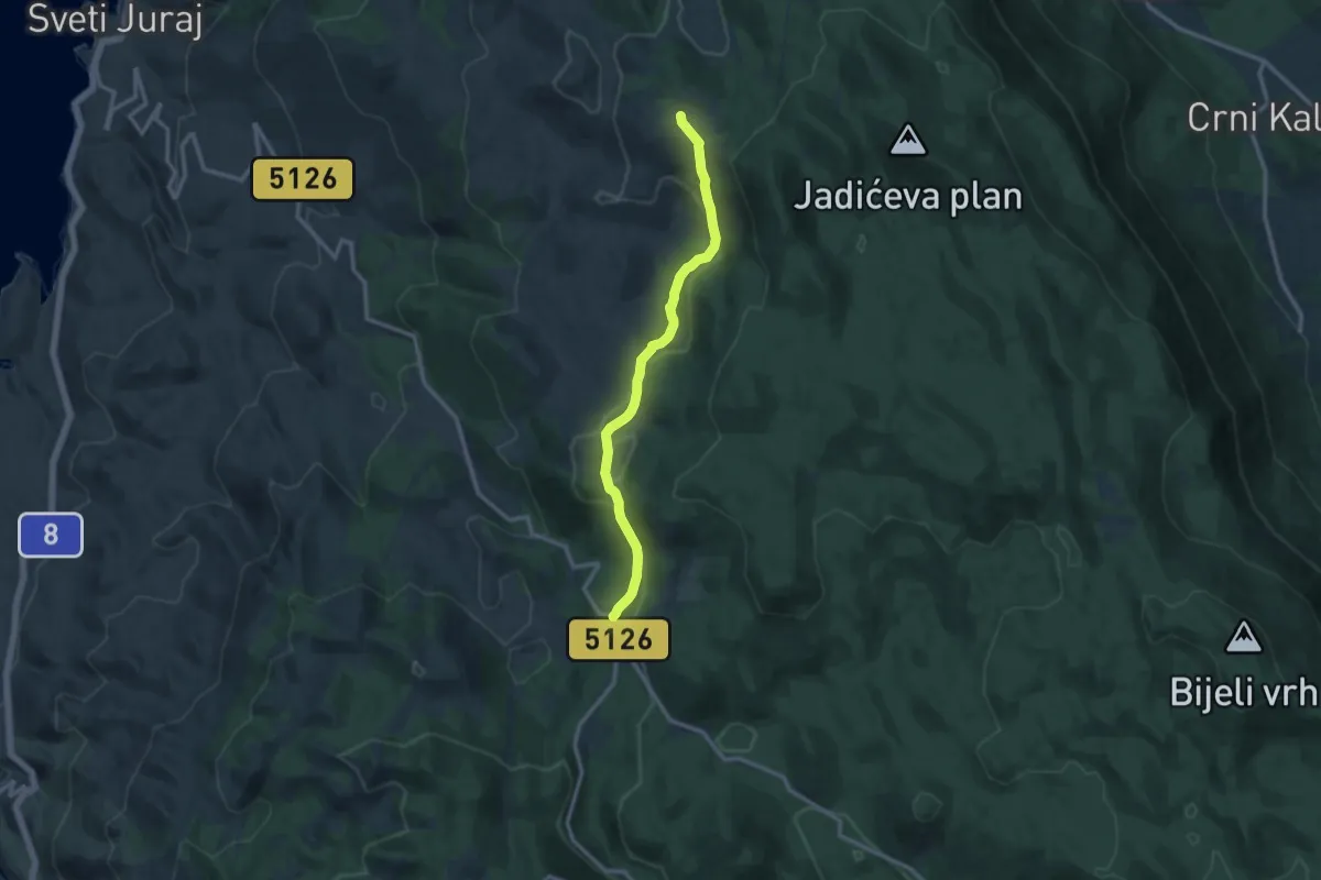
Medium · Cabin
Žukalj - Oltare
11.7 km · ↑ 362 m · 3 h 33 min · 11 km away
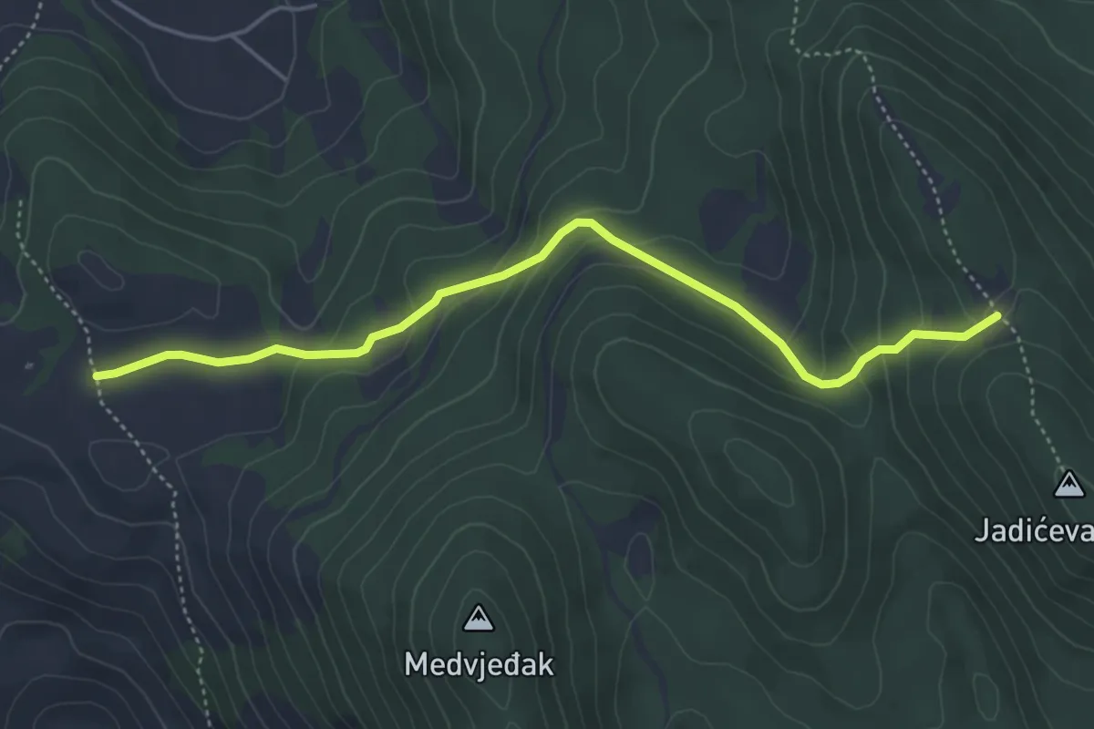
Medium · Trail
11.07 HPS
4.9 km · ↑ 247 m · 1 h 42 min · 11 km away
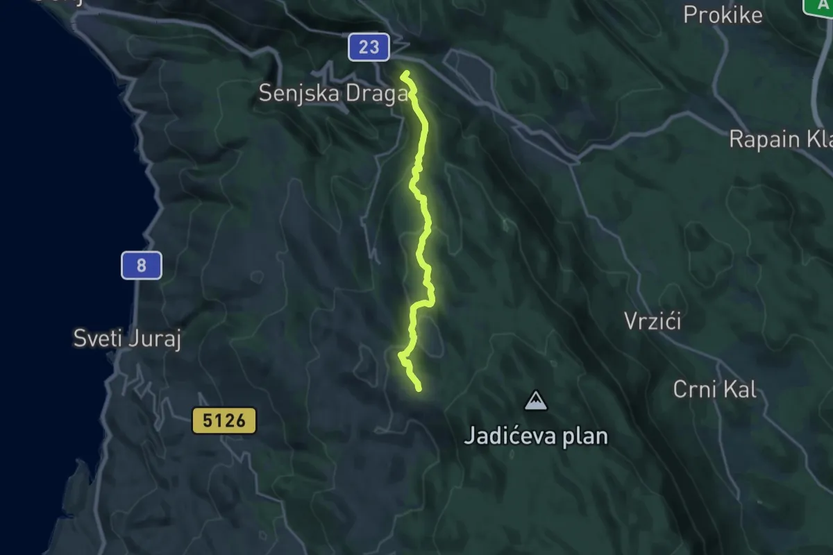
Medium · Summit
11.03 HPS
15.2 km · ↑ 698 m · 5 h 6 min · 11 km away
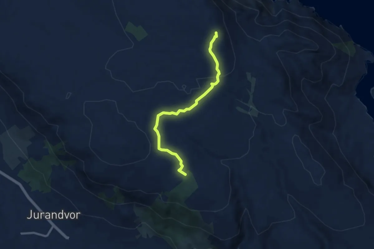
Medium · Summit
Plato Mjeseca - Lovka Diviška
6.6 km · ↑ 126 m · 1 h 49 min · 11 km away
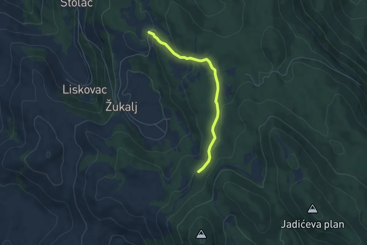
Medium · Trail
11.05 HPS
4.8 km · ↑ 129 m · 1 h 25 min · 11 km away
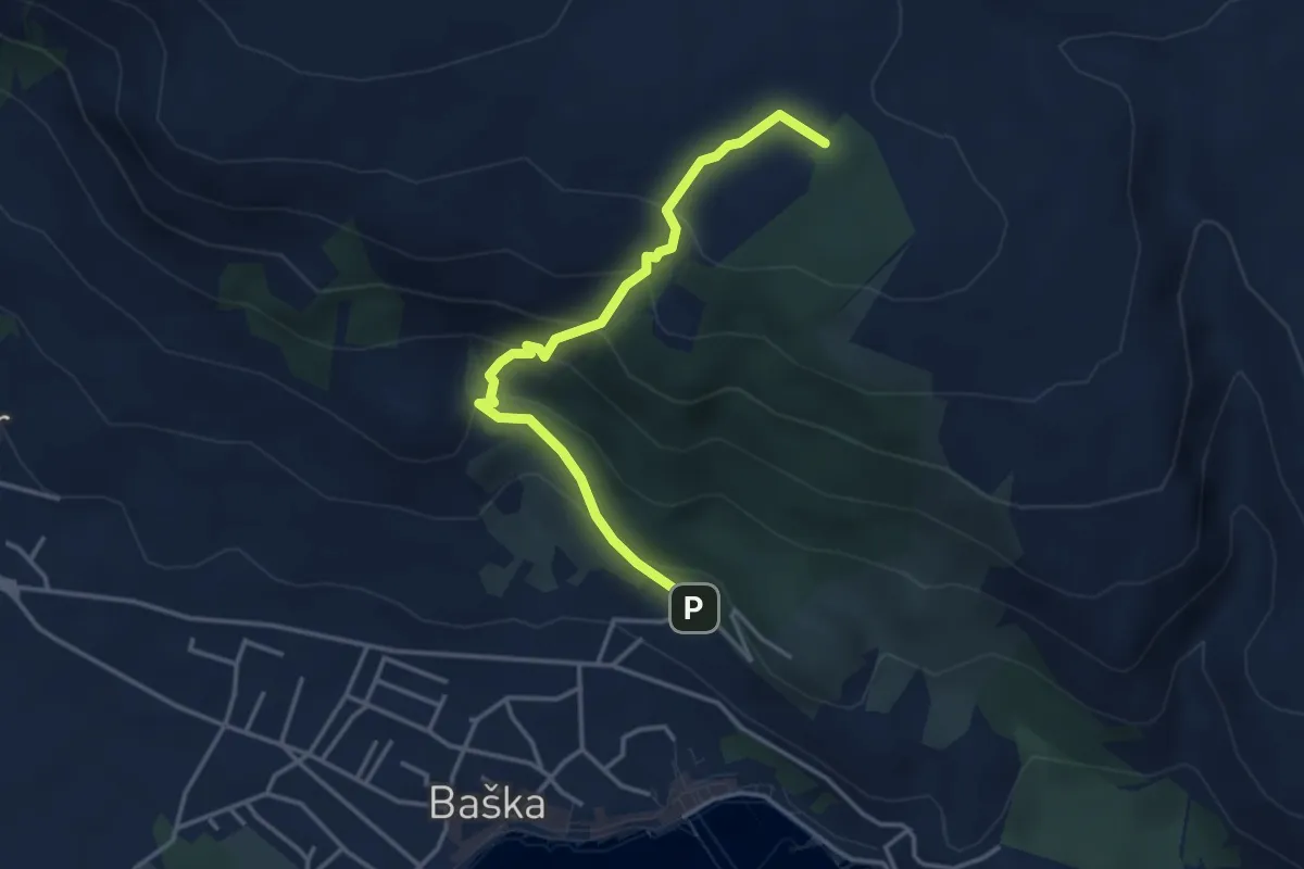
Medium · Trail
Ispod crkve Sv. Ivana - Plato Mjeseca
3.8 km · ↑ 298 m · 1 h 33 min · 11 km away
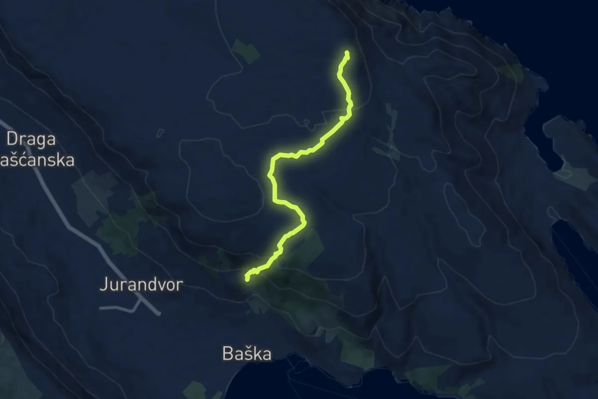
Medium · Summit
Baška - Hlam - Diviška - Petrakov - ...
8.5 km · ↑ 355 m · 2 h 46 min · 12 km away
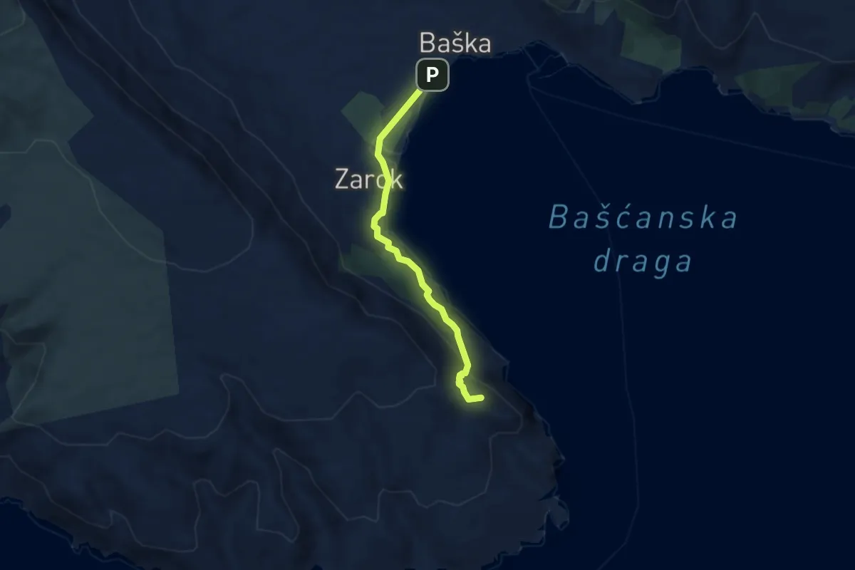
Medium · Summit
Baška - Rt. Škuljica
5.7 km · ↑ 144 m · 1 h 39 min · 12 km away
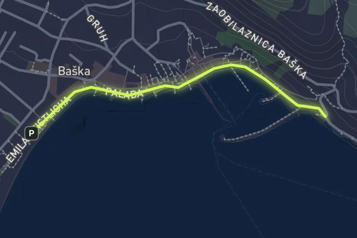
Easy · Trail
Baška - AC FKK Buncukuca
2.4 km · ↑ 21 m · 37 min · 12 km away
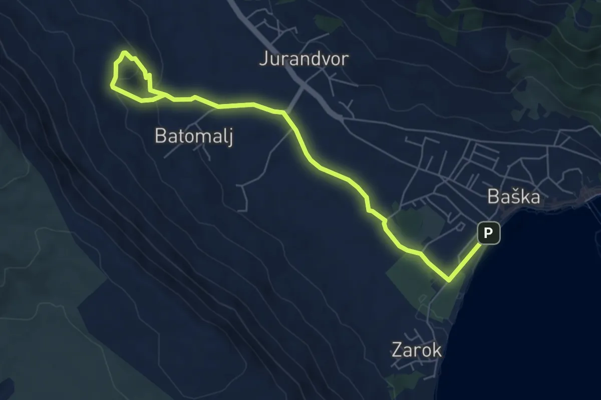
Easy · Trail
Baška - Svet. Majke Božje Goričke
7.3 km · ↑ 175 m · 2 h 6 min · 12 km away
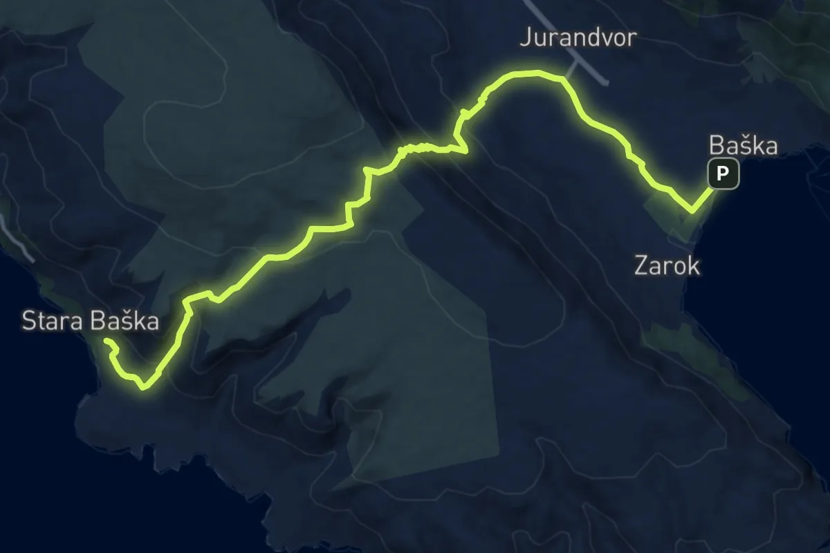
Medium · Trail
Baška - Stara Baška
15.4 km · ↑ 702 m · 5 h 10 min · 12 km away
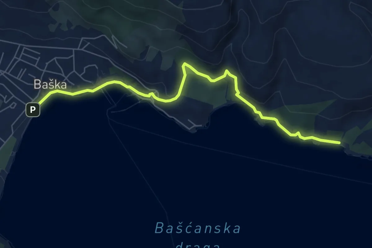
Demanding · Trail
Baška - Vela Vrženica
7.1 km · ↑ 171 m · 2 h 2 min · 12 km away
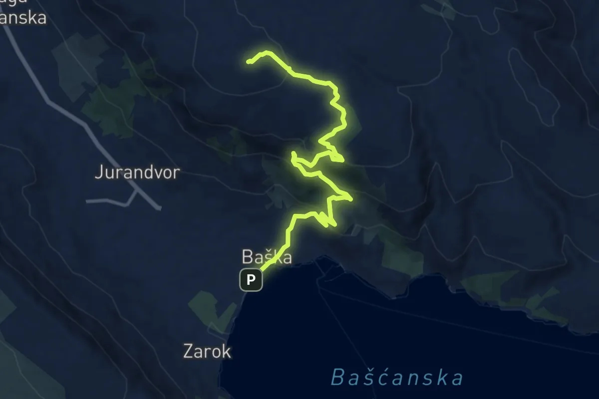
Medium · Summit
Baška - Hlam
11.0 km · ↑ 527 m · 3 h 45 min · 12 km away
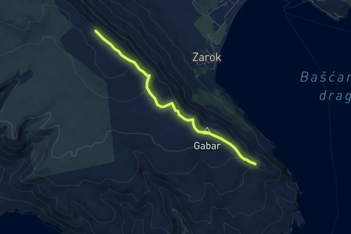
Demanding · Summit
Vraca - Vratudih
6.6 km · ↑ 303 m · 2 h 13 min · 13 km away
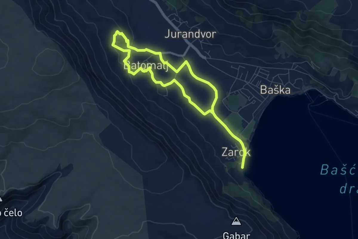
Medium · Trail
Zarok – Zarok
6.2 km · ↑ 153 m · 1 h 53 min · 13 km away
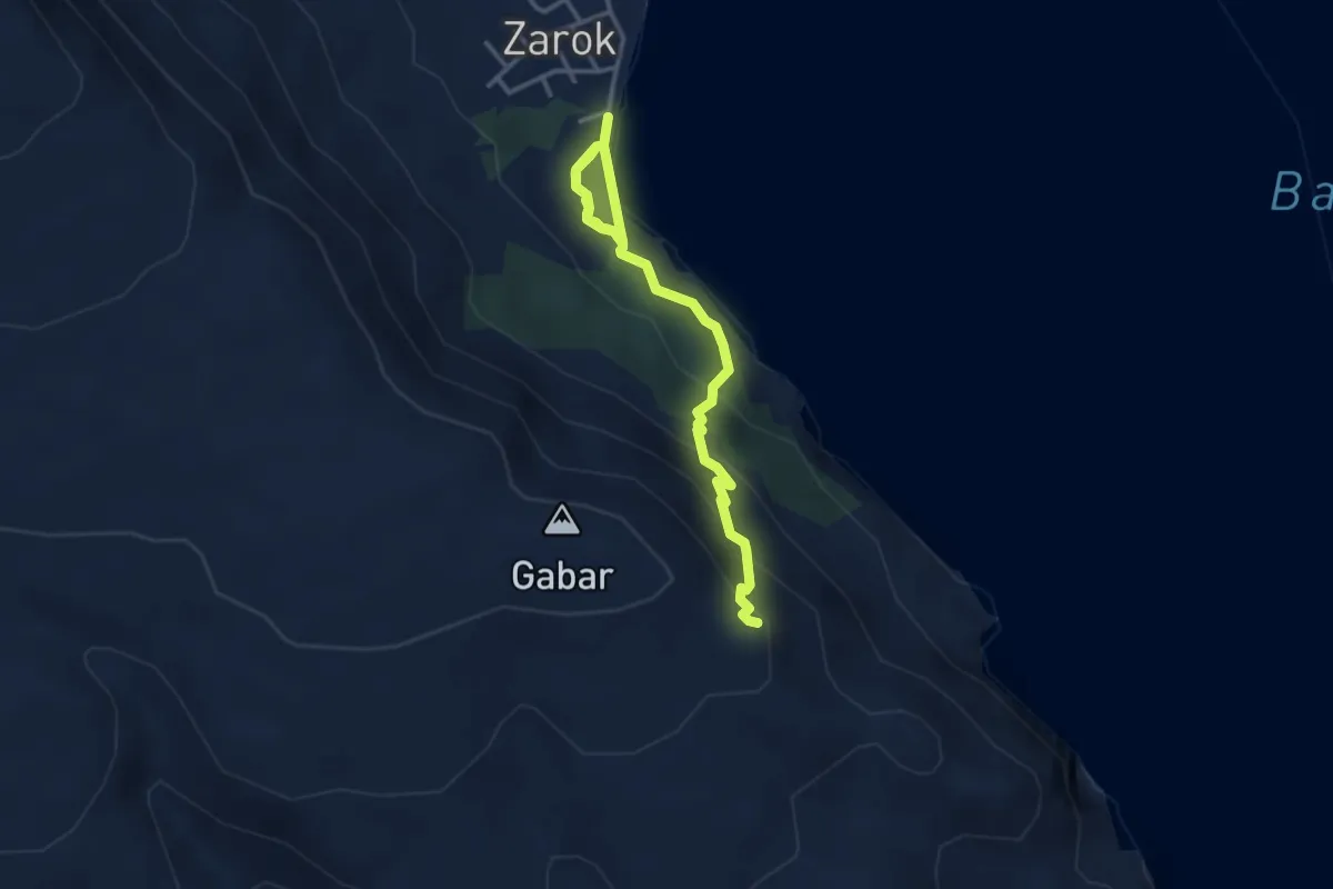
Medium · Summit
167
4.2 km · ↑ 254 m · 1 h 33 min · 13 km away
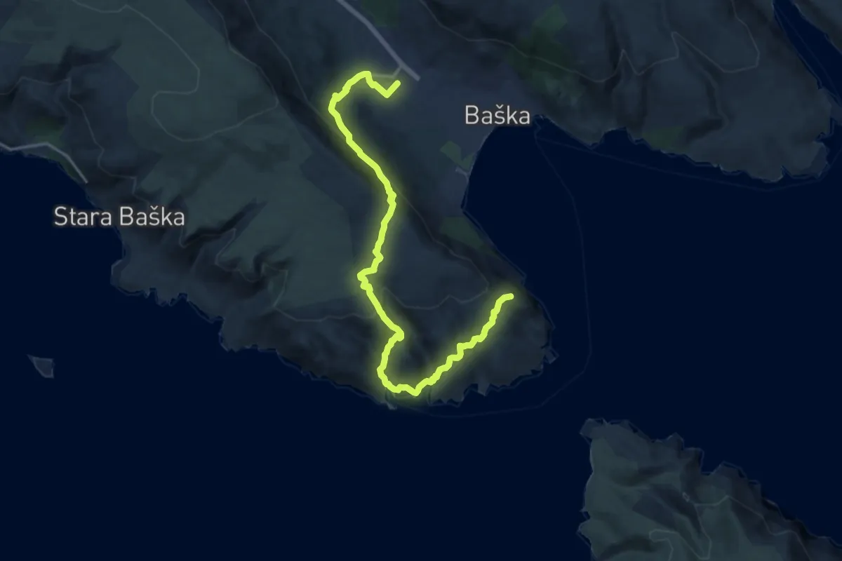
Demanding · Summit
Baska – Baska
17.7 km · ↑ 832 m · 5 h 59 min · 13 km away
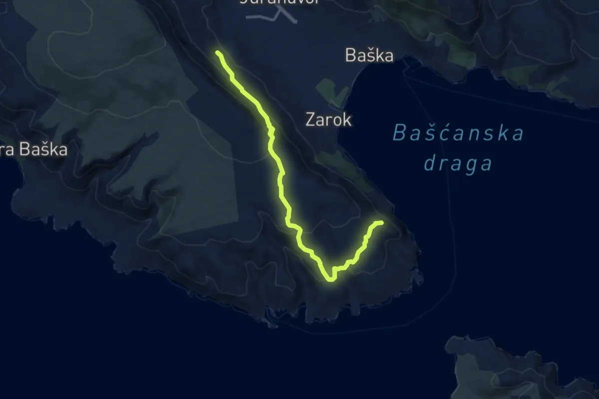
Medium · Summit
Baška - Vraca
10.9 km · ↑ 515 m · 3 h 42 min · 14 km away
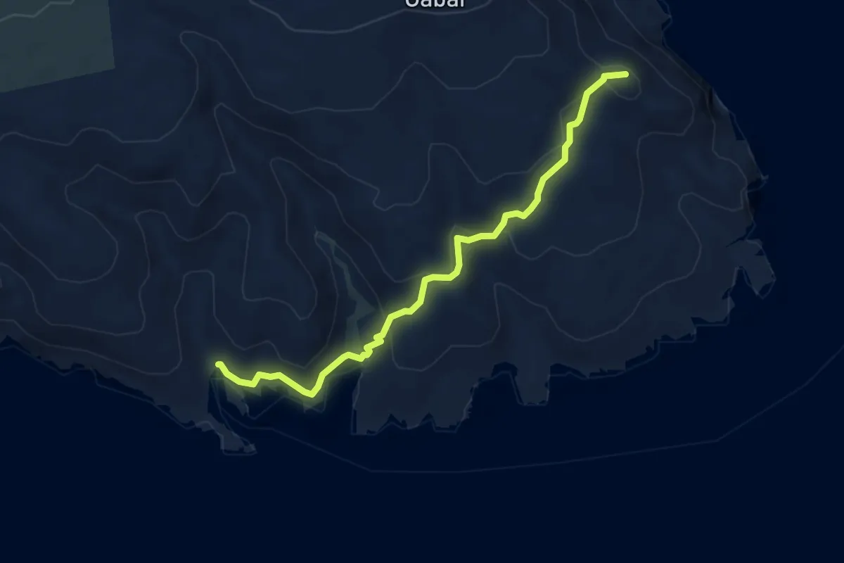
Medium · Summit
Vraca - Uvala Bracol
5.2 km · ↑ 276 m · 1 h 50 min · 14 km away
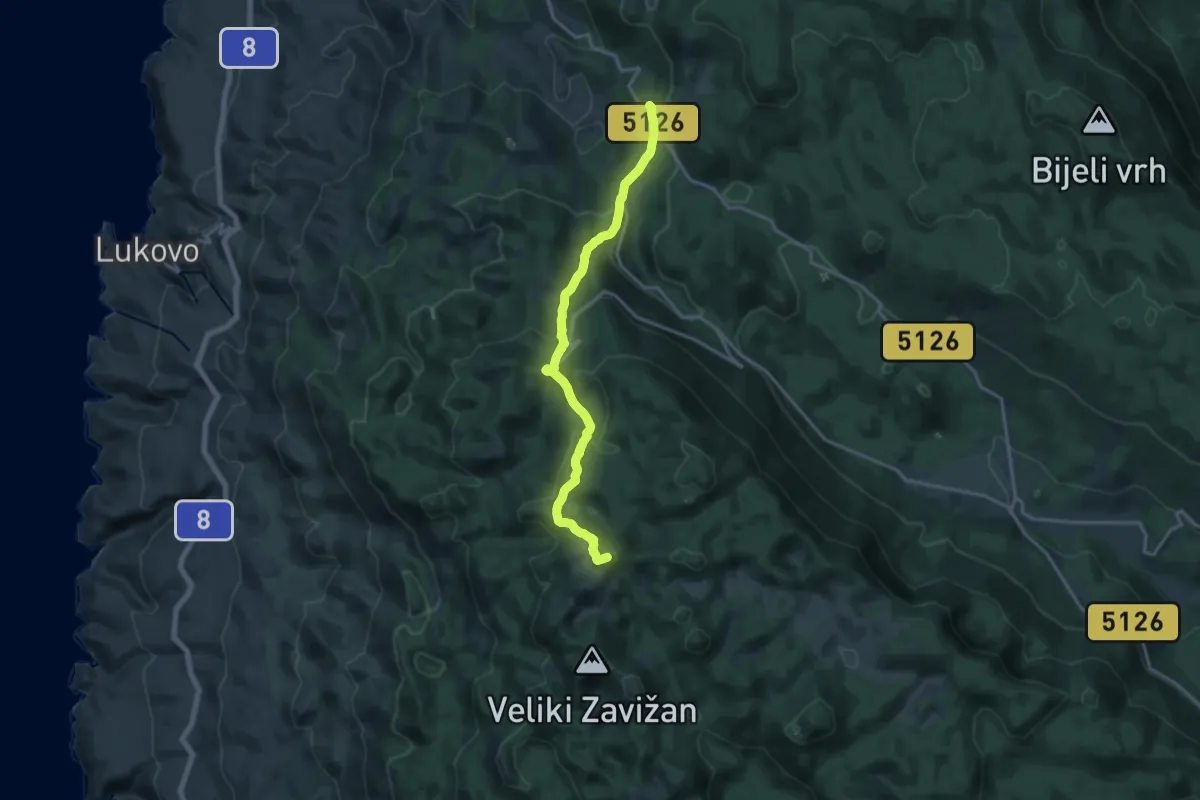
Medium · Summit
Oltare - Zavižan
16.3 km · ↑ 773 m · 5 h 31 min · 14 km away
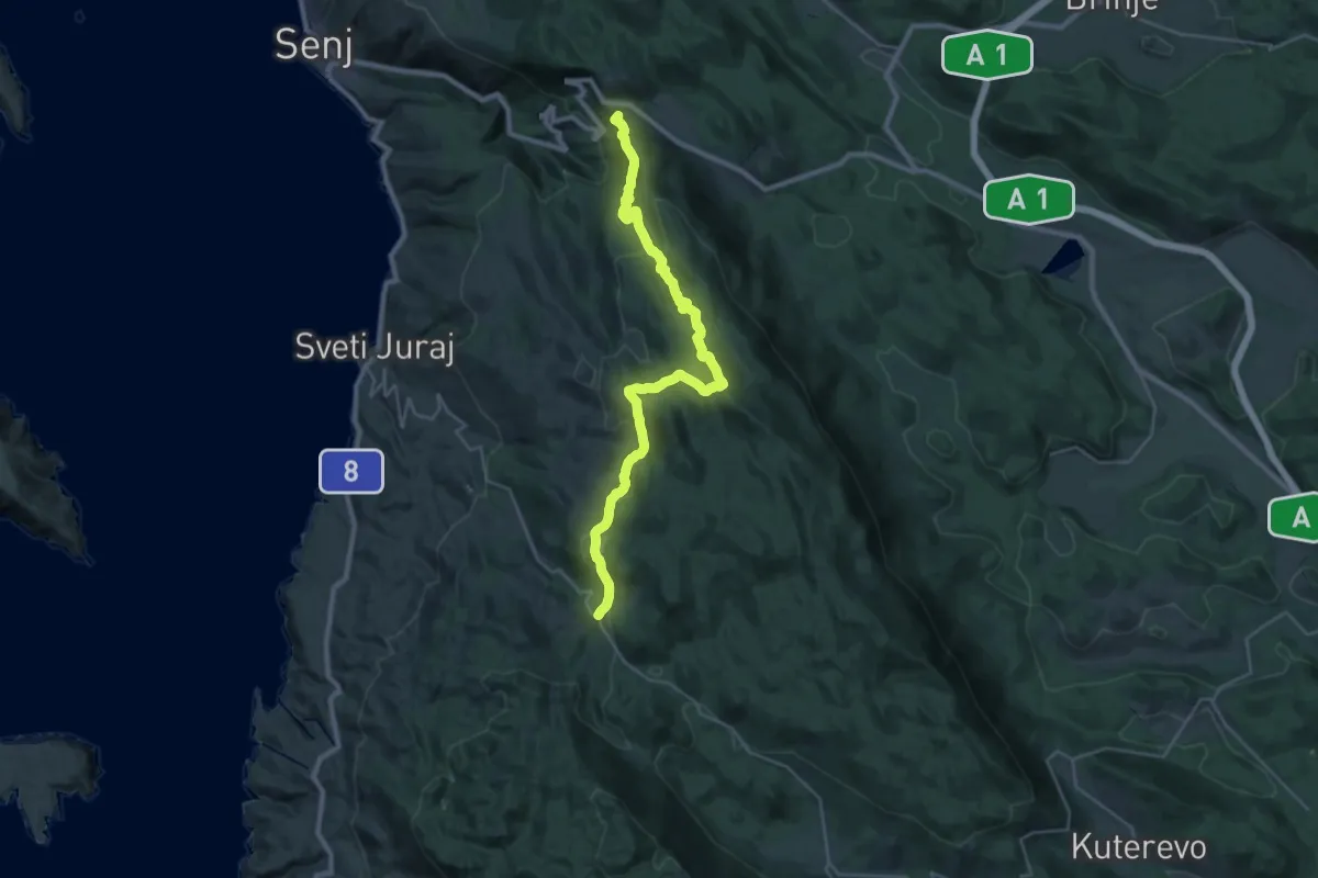
Demanding · Summit
Senjsko bilo
33.1 km · ↑ 1428 m · 10 h 54 min · 14 km away
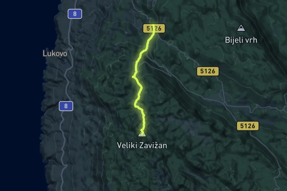
Demanding · Summit
Nacionalni park Sjeverni Velebit I - Zavižan
19.4 km · ↑ 956 m · 6 h 40 min · 14 km away
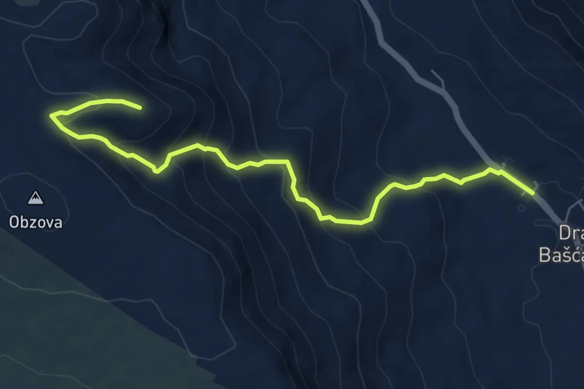
Medium · Trail
Draga Bašćanska - Obzova
6.4 km · ↑ 476 m · 2 h 33 min · 15 km away