Trails in Czech Republic
4,056 hiking trails, each with its route, climb, walking time and grade.
All trails, page 34 of 85
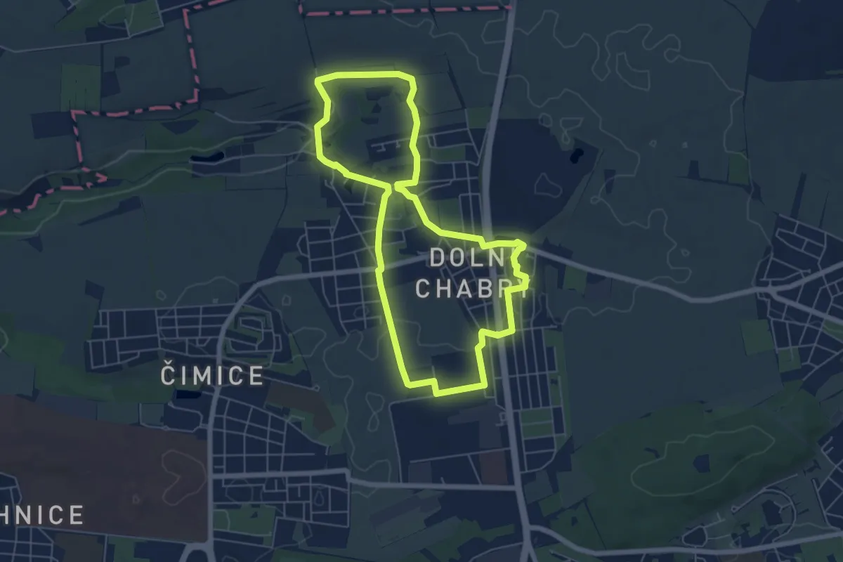
Easy · Trail
NS Dolní Chabry
5.5 km · ↑ 62 m · 1 h 30 min
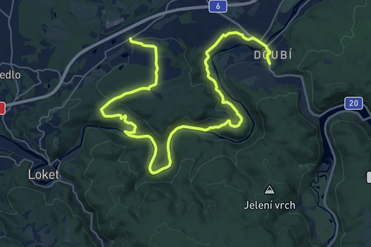
Demanding · Trail
NS Doubí - Svatošské skály
26.2 km · ↑ 698 m · 7 h 41 min
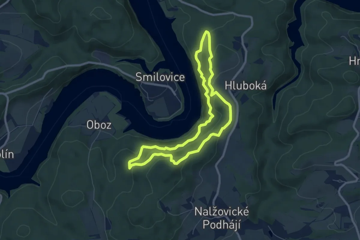
Demanding · Trail
NS Drbákov - Albertovy skály
5.9 km · ↑ 372 m · 2 h 16 min
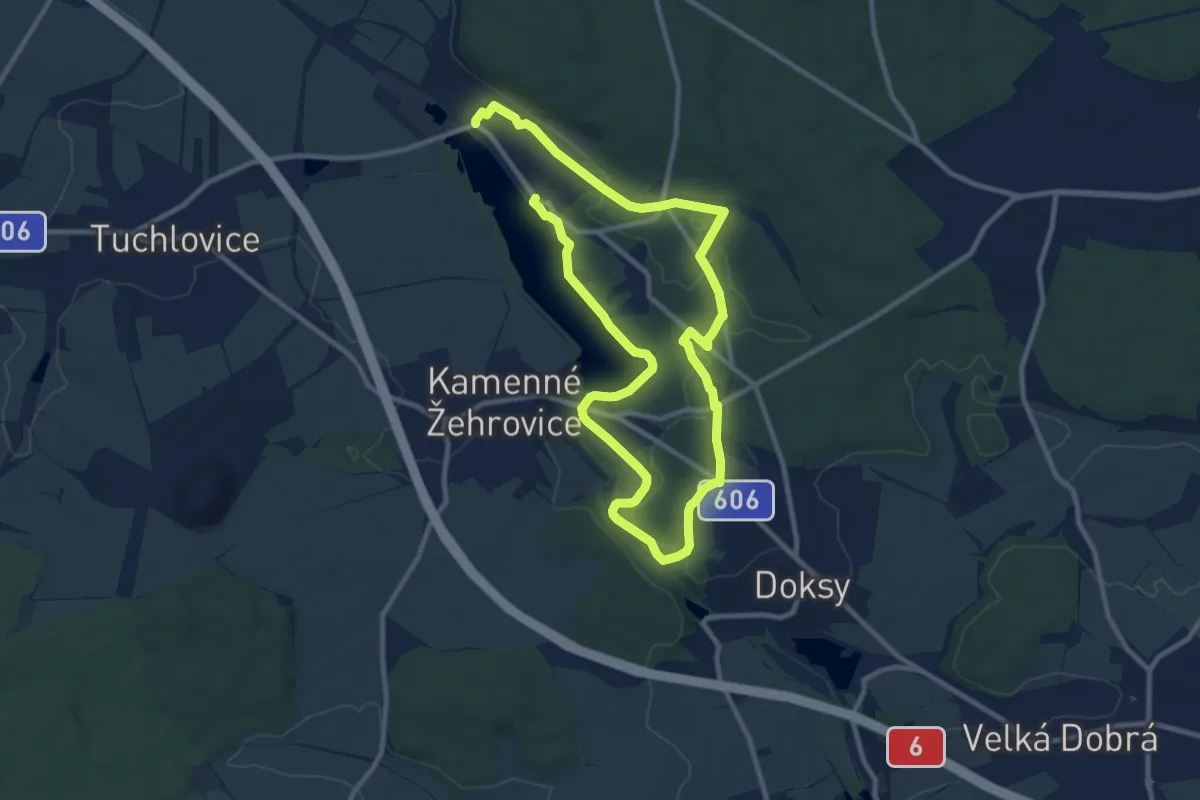
Medium · Trail
NS Drvotova
16.4 km · ↑ 115 m · 4 h 7 min
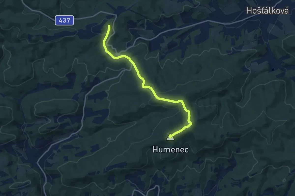
Medium · Summit
NS Držkovské chodníčky (modrá)
10.1 km · ↑ 396 m · 3 h 15 min
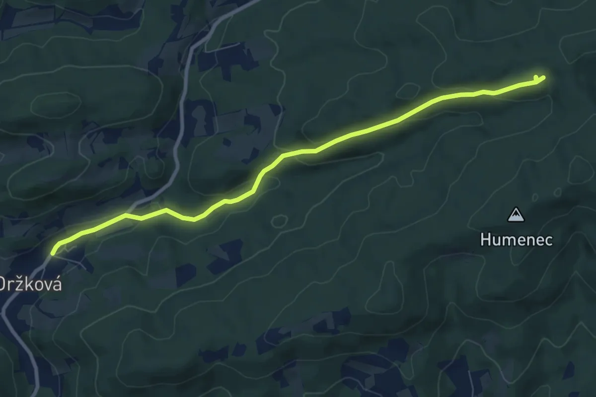
Easy · Trail
NS Držkovské chodníčky (žlutá)
7.8 km · ↑ 298 m · 2 h 30 min
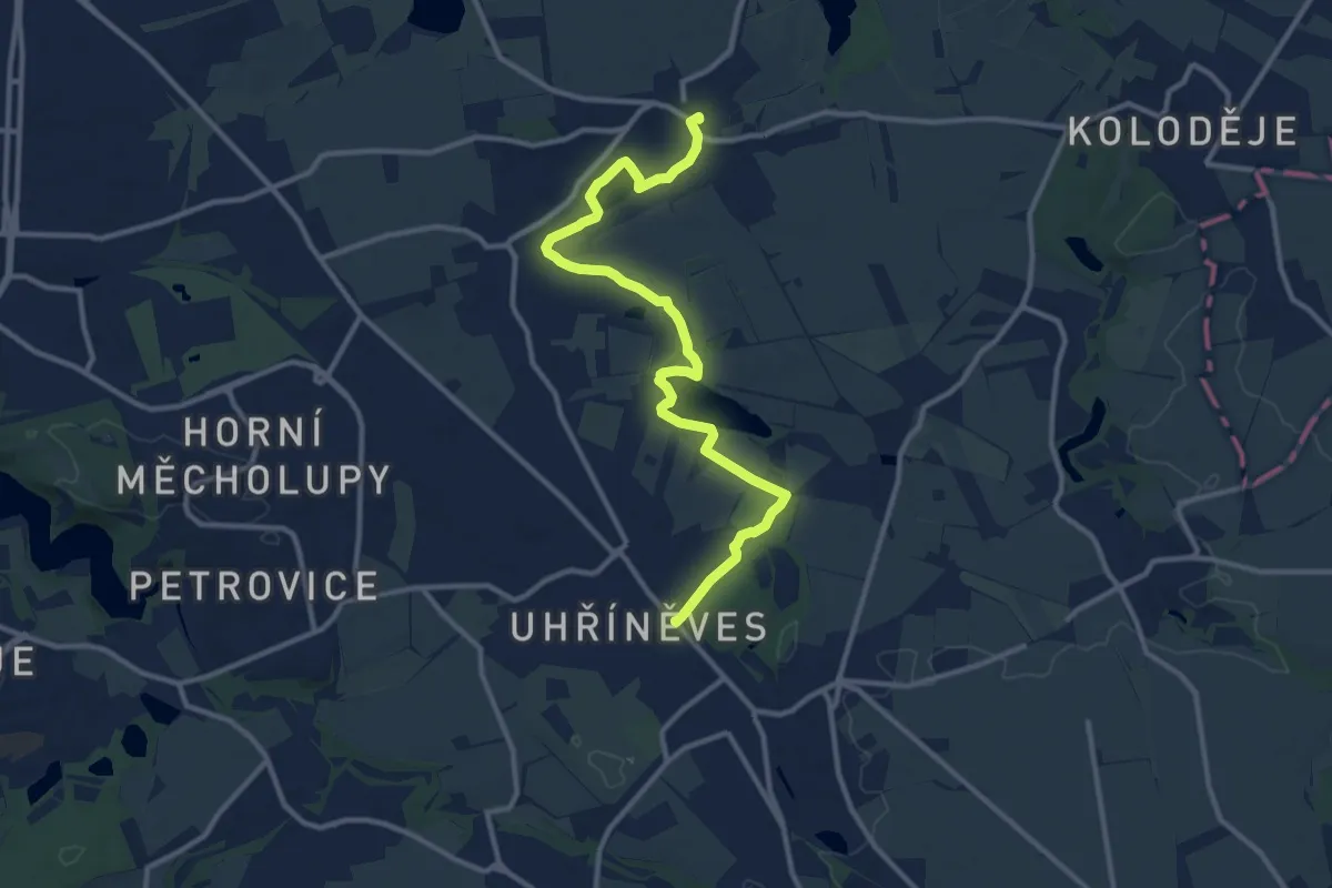
Medium · Trail
NS Dubeč - Uhříněves
11.7 km · ↑ 45 m · 2 h 51 min
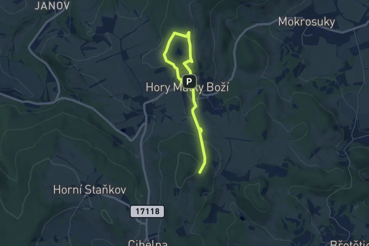
Easy · Trail
NS Důlní činnost v okolí Hor Matky Boží
6.0 km · ↑ 171 m · 1 h 48 min
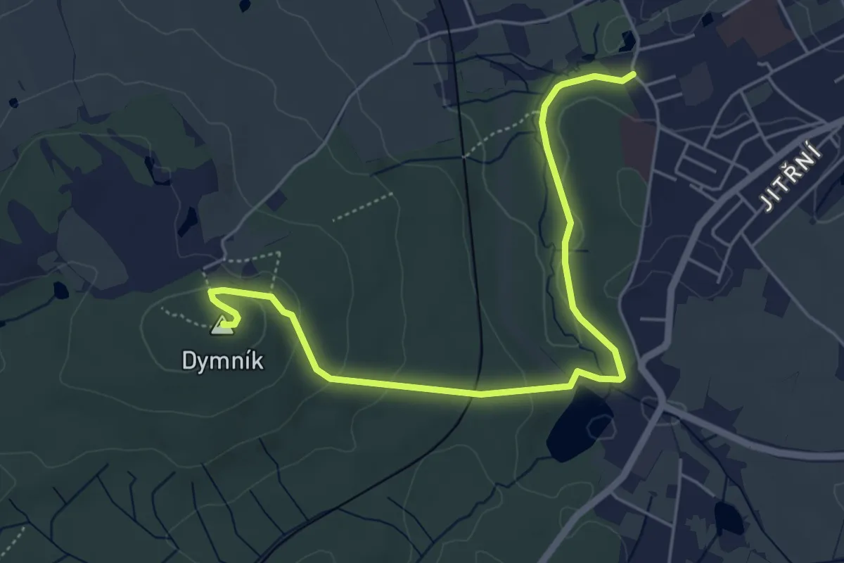
Easy · Summit
NS Dymník
5.2 km · ↑ 127 m · 1 h 31 min
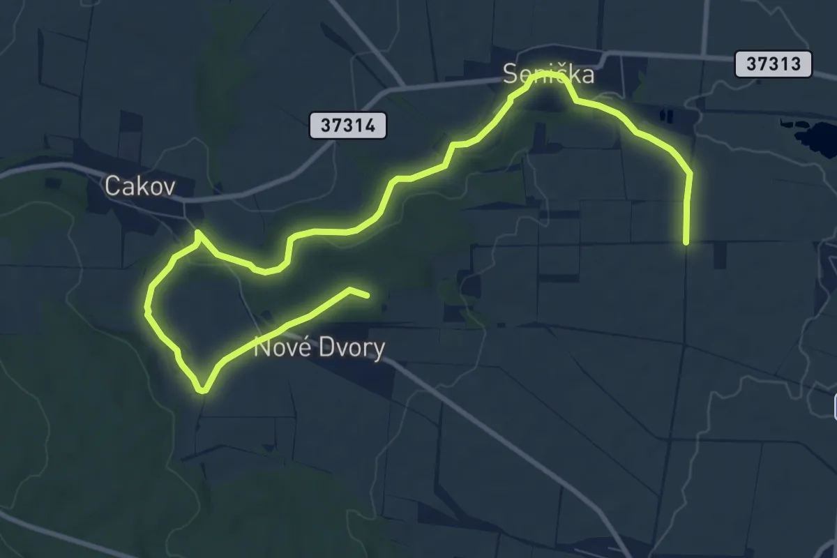
Medium · Summit
NS Elišky z Kunštátu
12.1 km · ↑ 151 m · 3 h 11 min
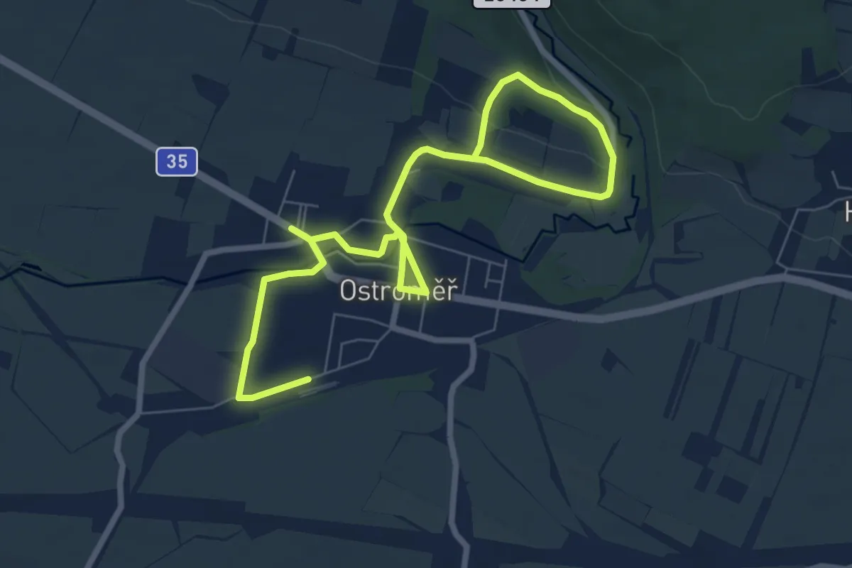
Medium · Trail
NS E. Štorcha a K. Zemana
9.1 km · ↑ 109 m · 2 h 22 min
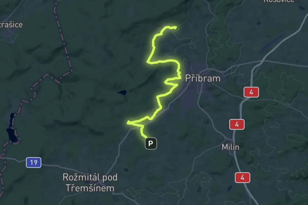
Demanding · Summit
NS Fabiánova
46.9 km · ↑ 686 m · 12 h 33 min
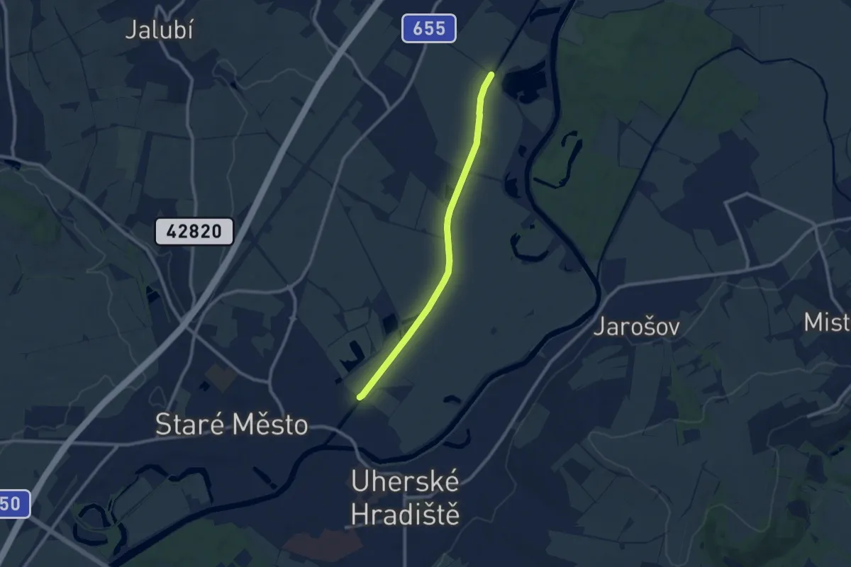
Medium · Trail
NS Fifart
8.2 km · ↑ 0 m · 1 h 56 min
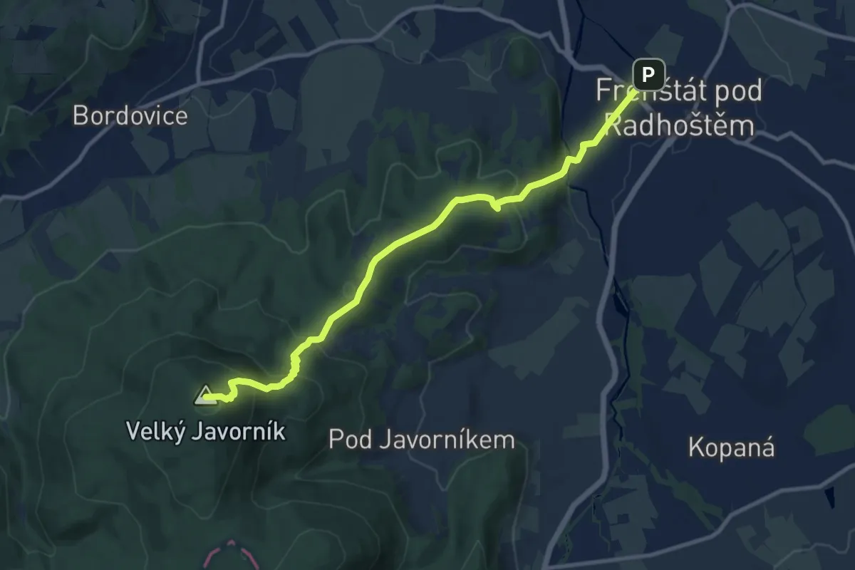
Medium · Summit
NS Frenštát p. R. - Javorník
10.1 km · ↑ 536 m · 3 h 33 min
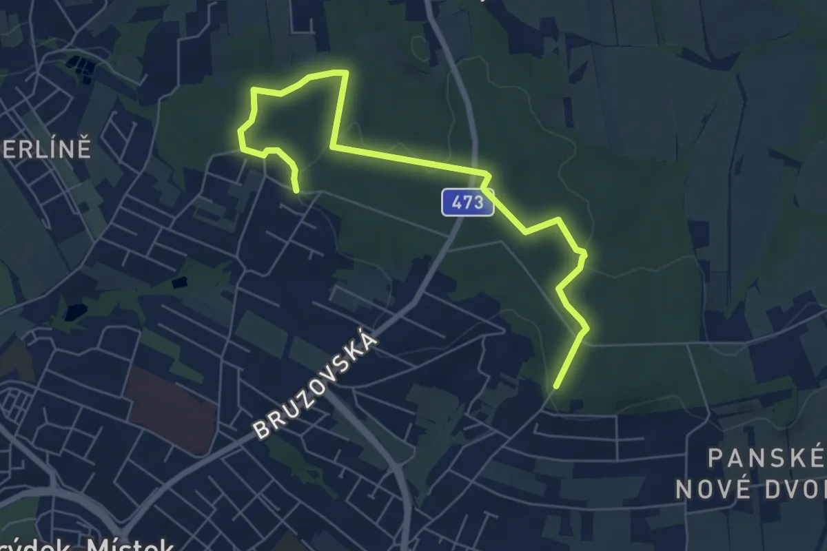
Easy · Trail
NS Frýdecký les
6.7 km · ↑ 79 m · 1 h 45 min
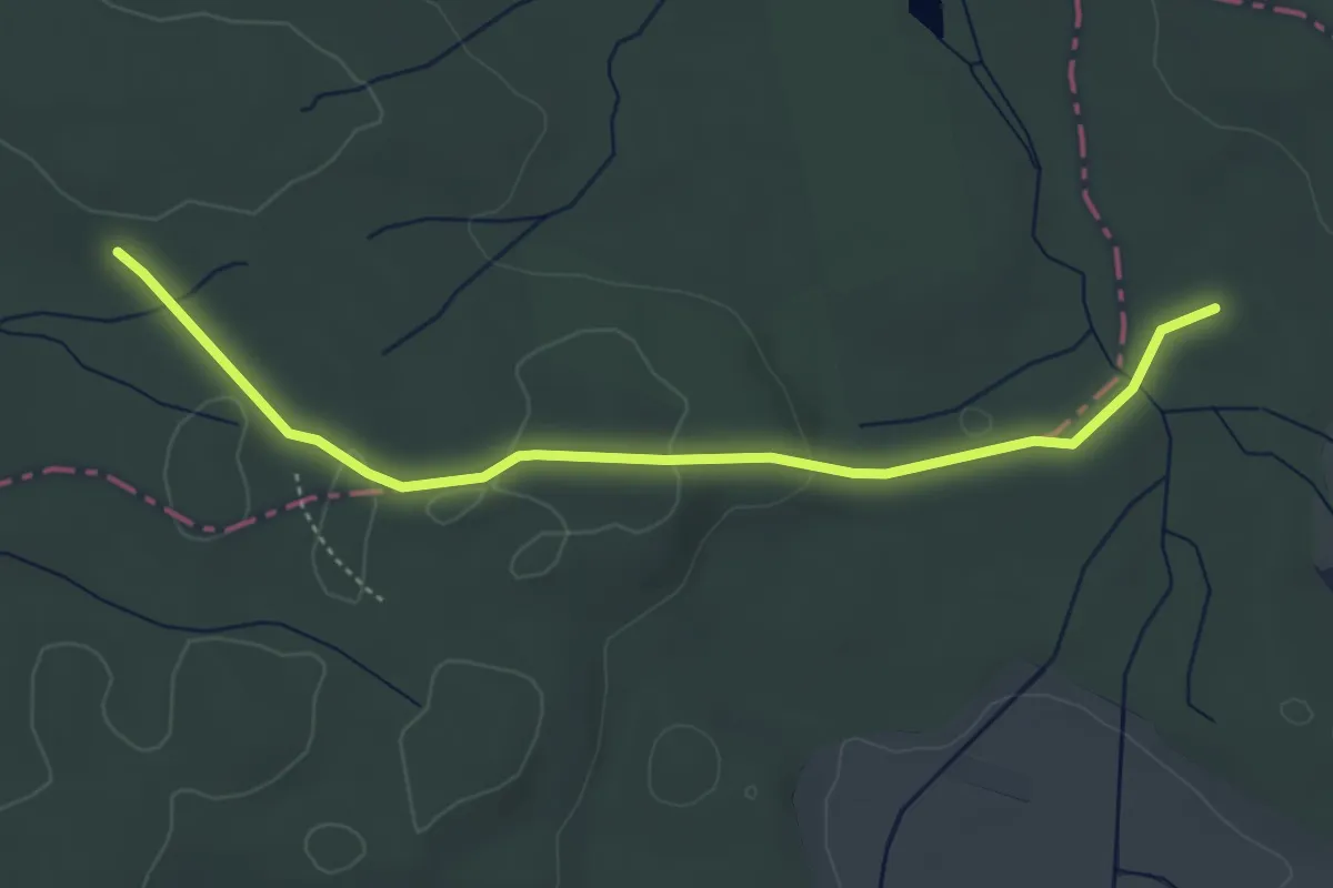
Easy · Trail
NS Funkce lesa
4.2 km · ↑ 45 m · 1 h 6 min
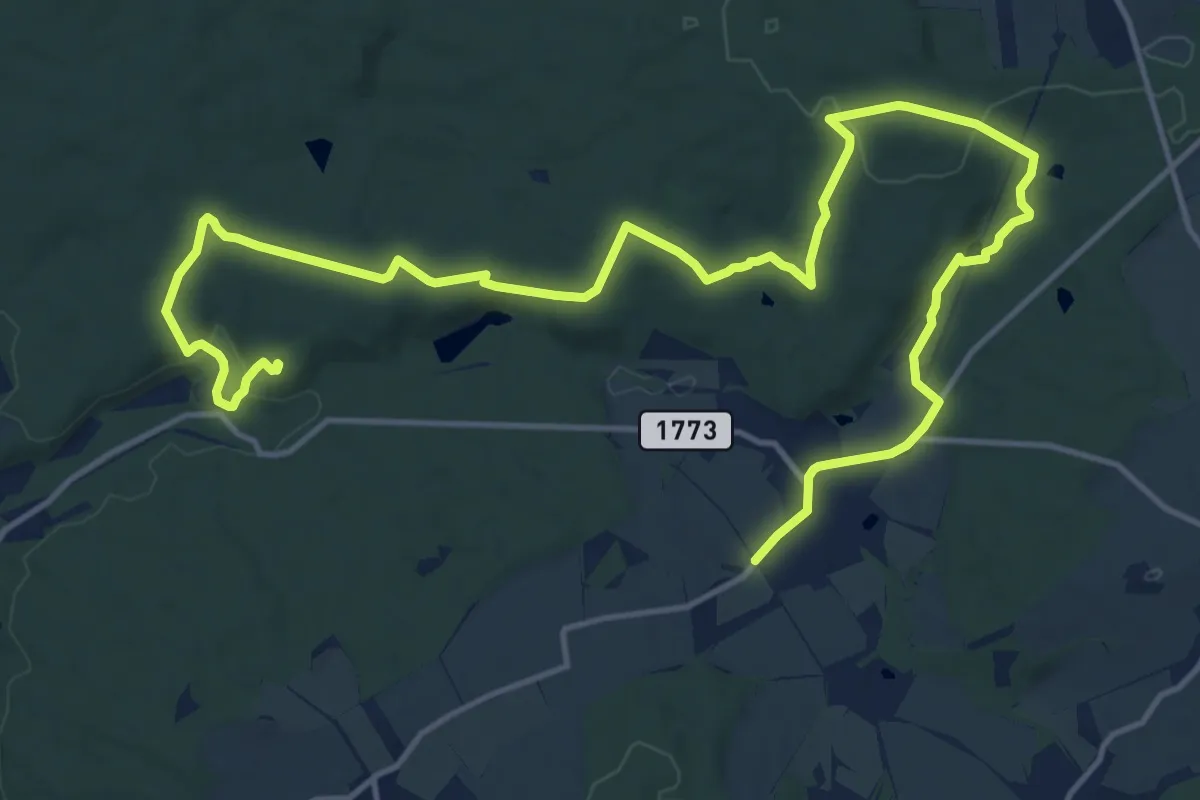
Demanding · Trail
NS F. X. France
20.0 km · ↑ 463 m · 5 h 44 min
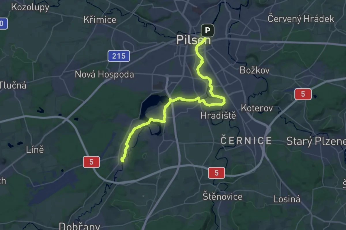
Demanding · Trail
NS Greenway podél Radbuzy
29.1 km · ↑ 231 m · 7 h 22 min
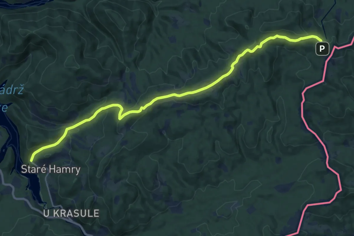
Demanding · Trail
NS Gruň - Bílý Kříž
18.8 km · ↑ 575 m · 5 h 41 min
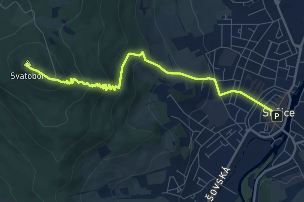
Medium · Summit
NS Hadí stezka na Svatobor
7.0 km · ↑ 362 m · 2 h 26 min
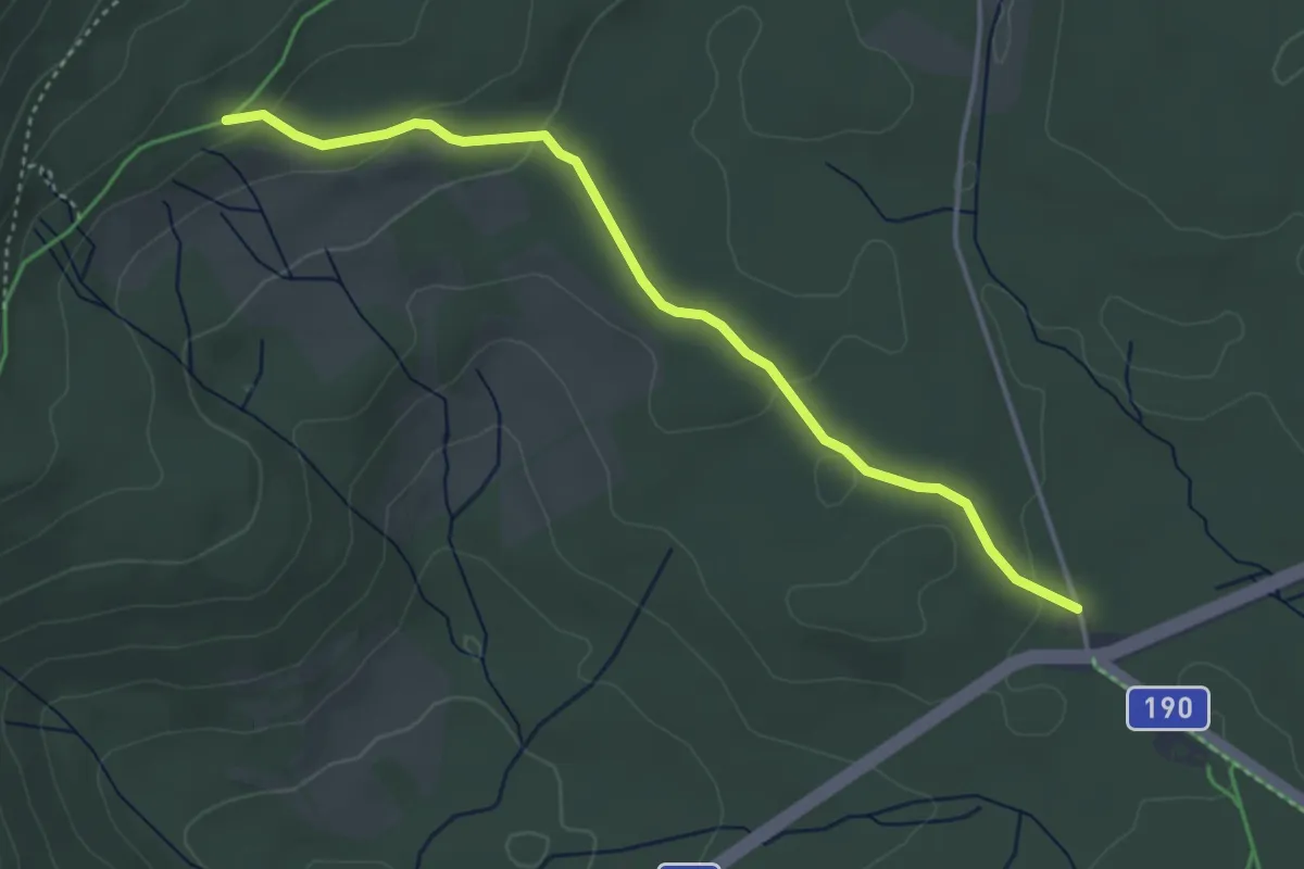
Easy · Trail
NS Hadí stezka - Pancíř
3.8 km · ↑ 88 m · 1 h 6 min
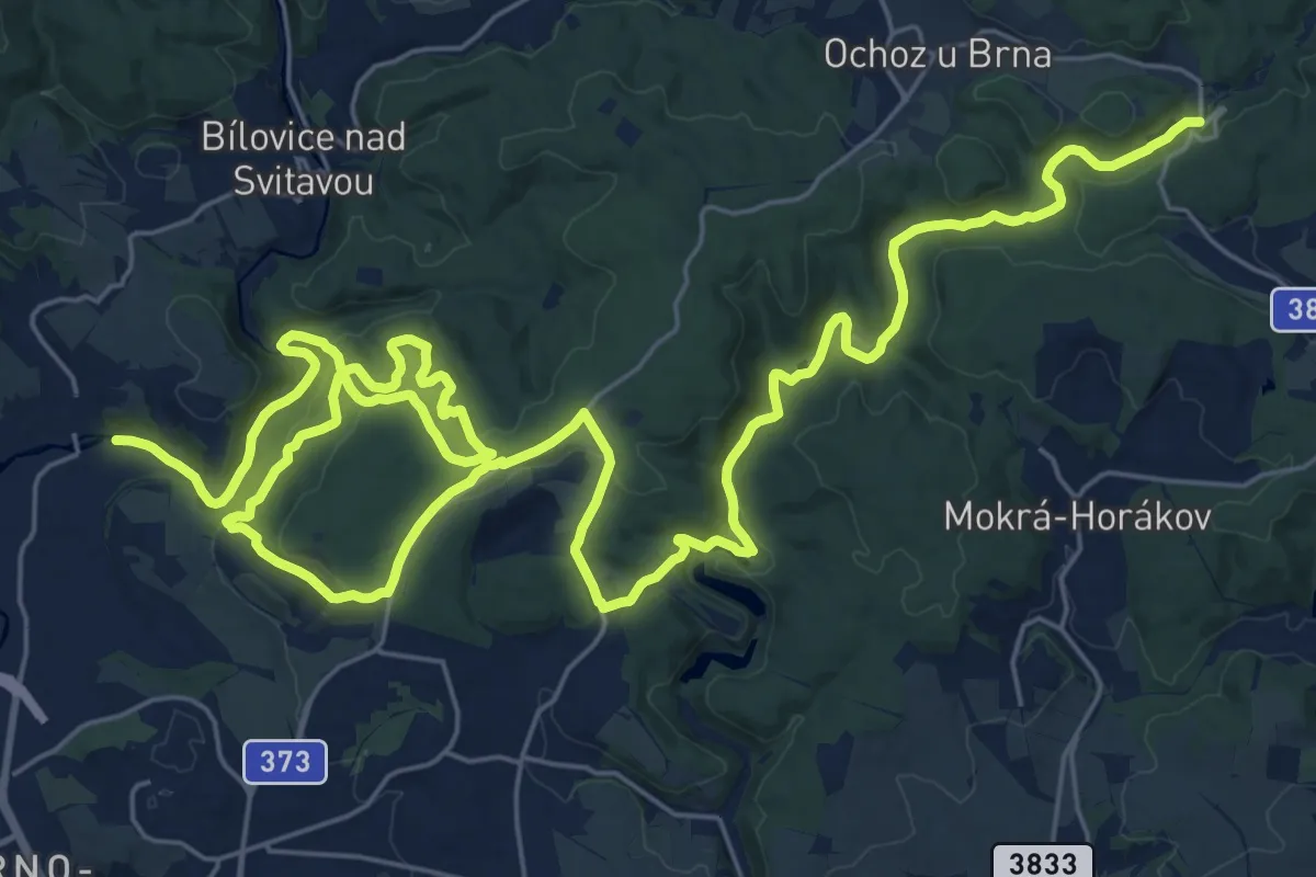
Demanding · Trail
NS Hády a údolí Říčky
22.1 km · ↑ 642 m · 6 h 51 min
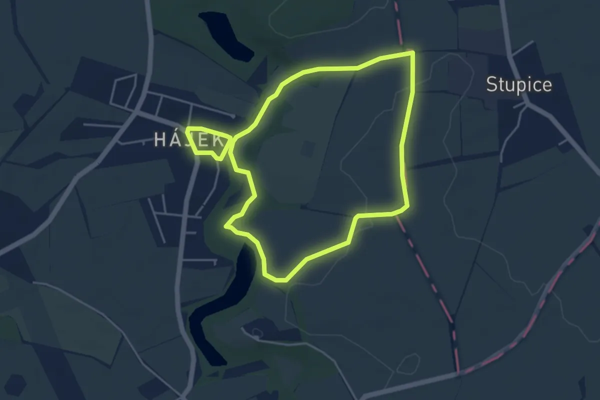
Easy · Trail
NS Hájecké putování
3.6 km · ↑ 33 m · 59 min
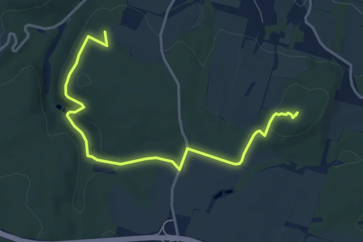
Easy · Summit
NS Hájeckými chodníčky
7.5 km · ↑ 169 m · 2 h 9 min
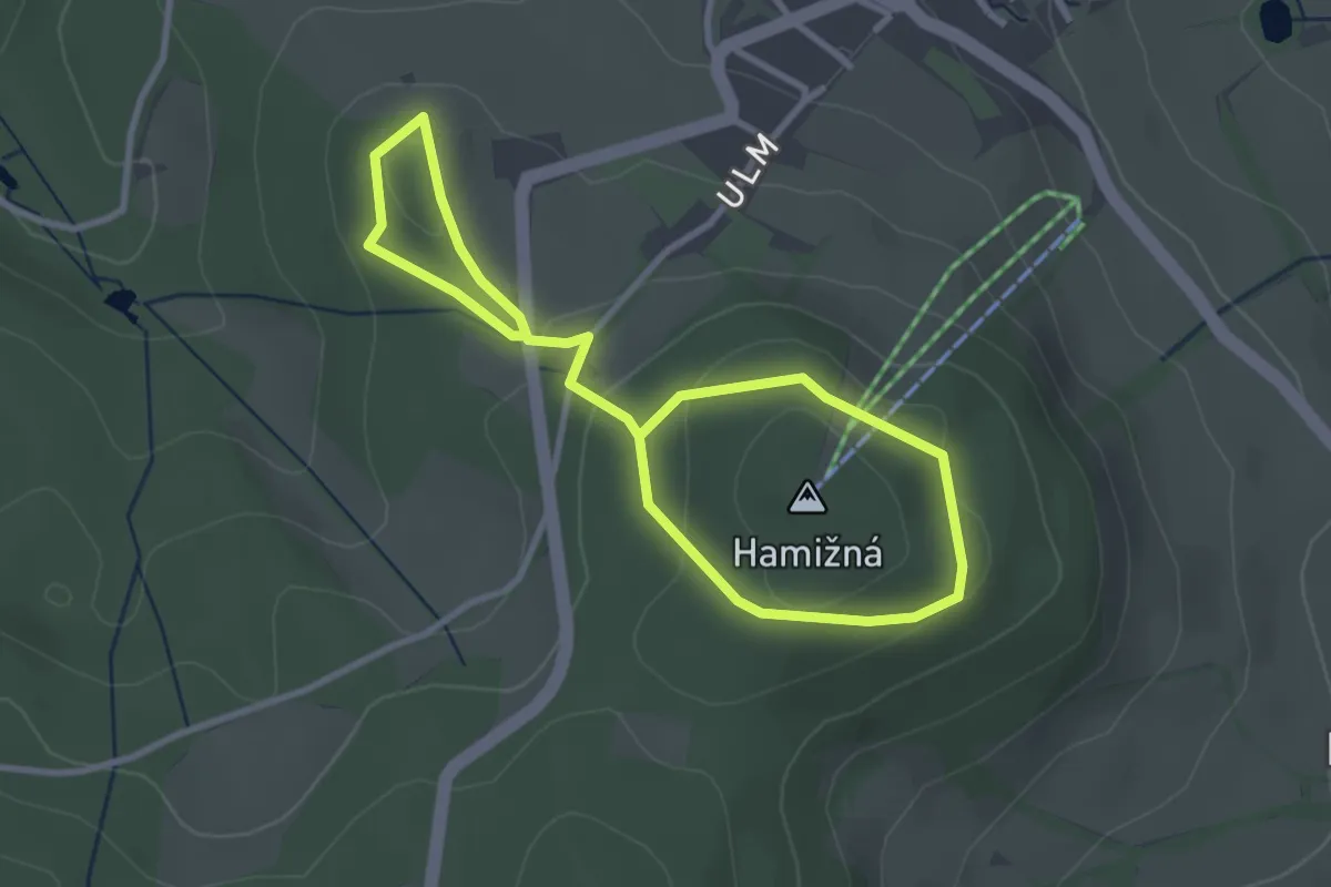
Easy · Trail
NS Hamižná
4.6 km · ↑ 138 m · 1 h 23 min
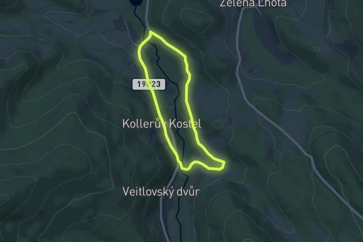
Easy · Trail
NS Hamry - Úhlavský luh
3.9 km · ↑ 82 m · 1 h 9 min
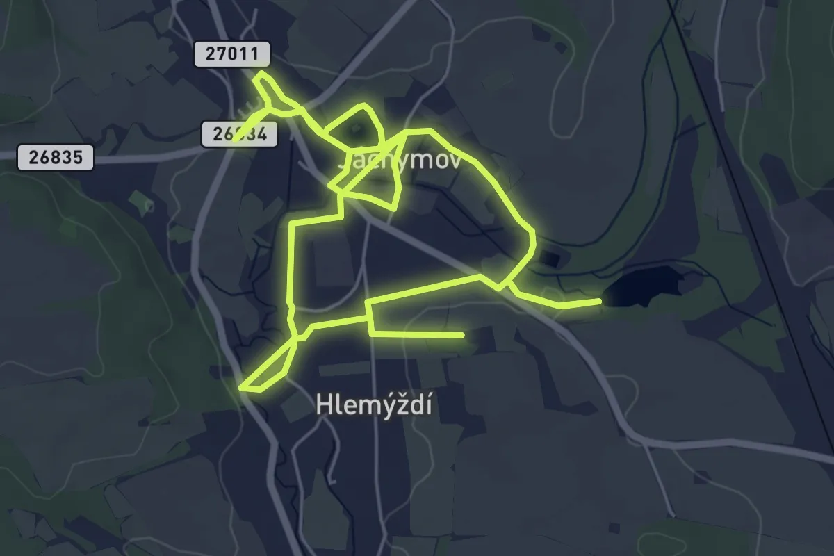
Medium · Trail
NS Hastrmanů
10.6 km · ↑ 47 m · 2 h 36 min
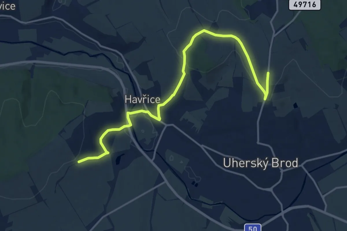
Medium · Trail
NS Havricka
12.8 km · ↑ 314 m · 3 h 42 min
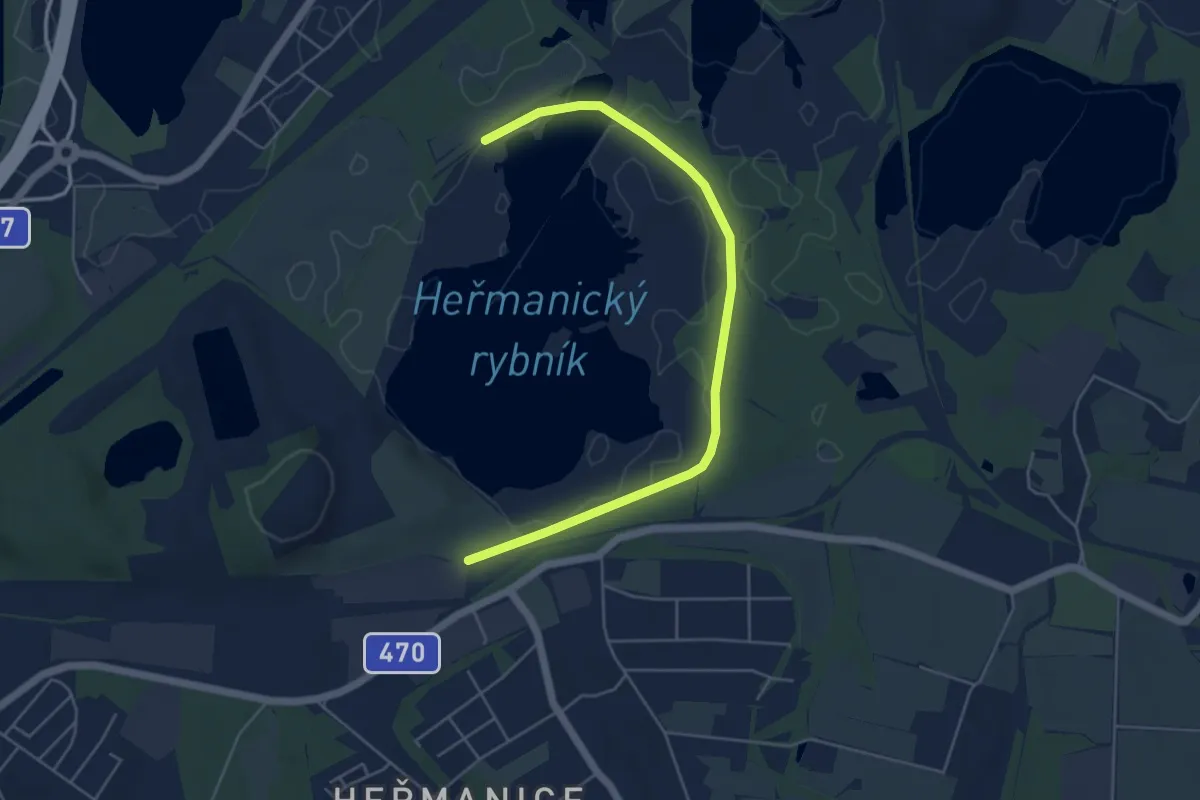
Easy · Trail
NS Heřmanický rybník
5.2 km · ↑ 9 m · 1 h 15 min
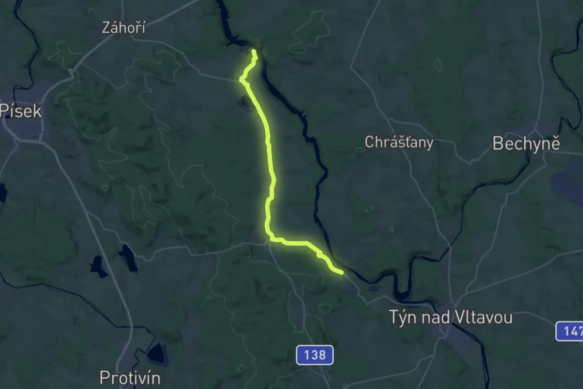
Demanding · Trail
NS Historická Albrechtickem
27.0 km · ↑ 313 m · 7 h 4 min
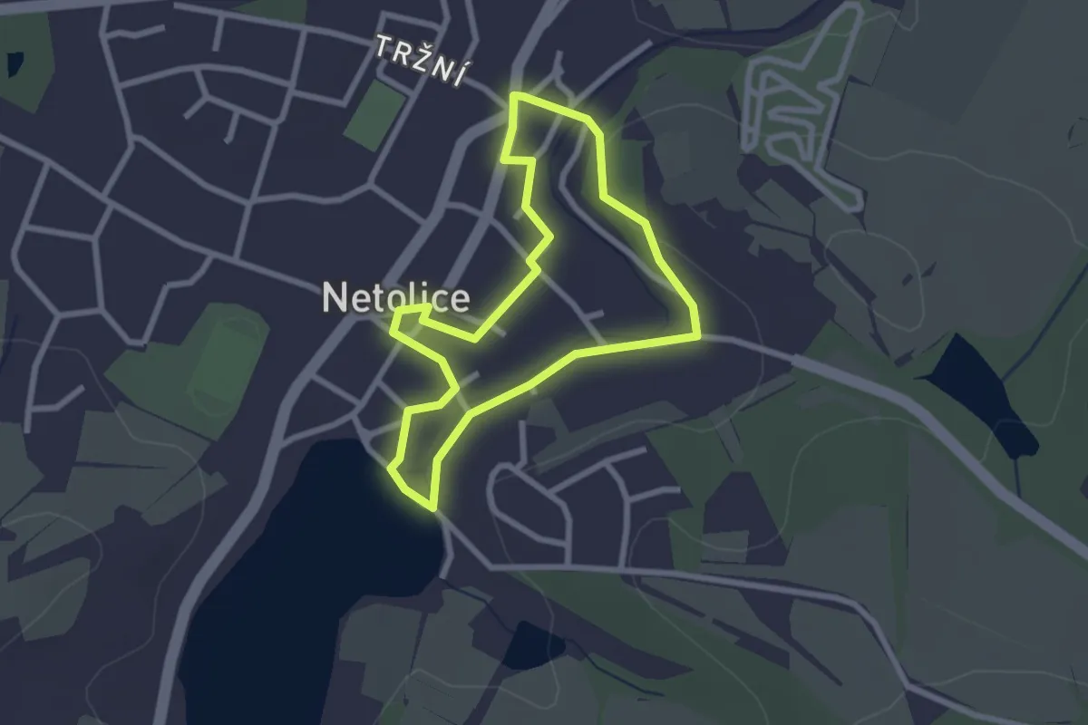
Easy · Trail
NS Historická krajina Netolicka
2.2 km · ↑ 18 m · 35 min
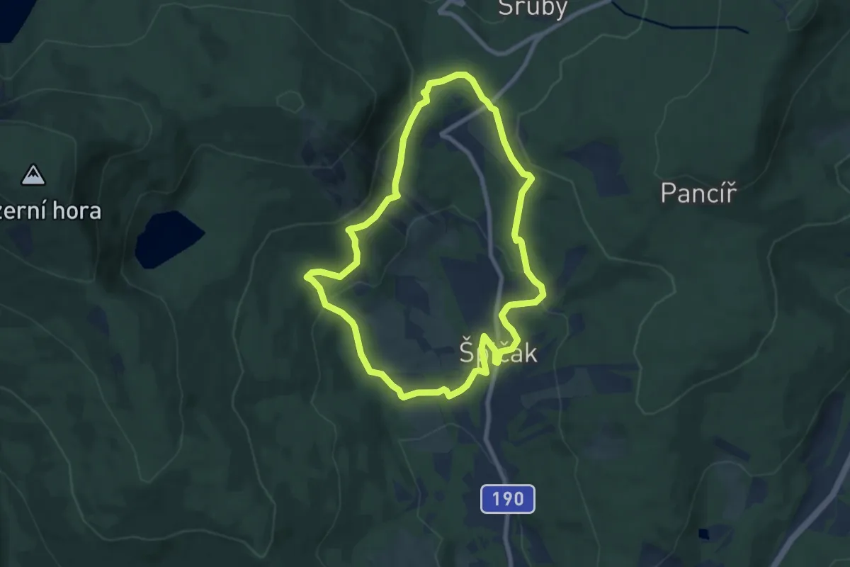
Medium · Trail
NS Historie obce Špičák
6.7 km · ↑ 241 m · 2 h 12 min
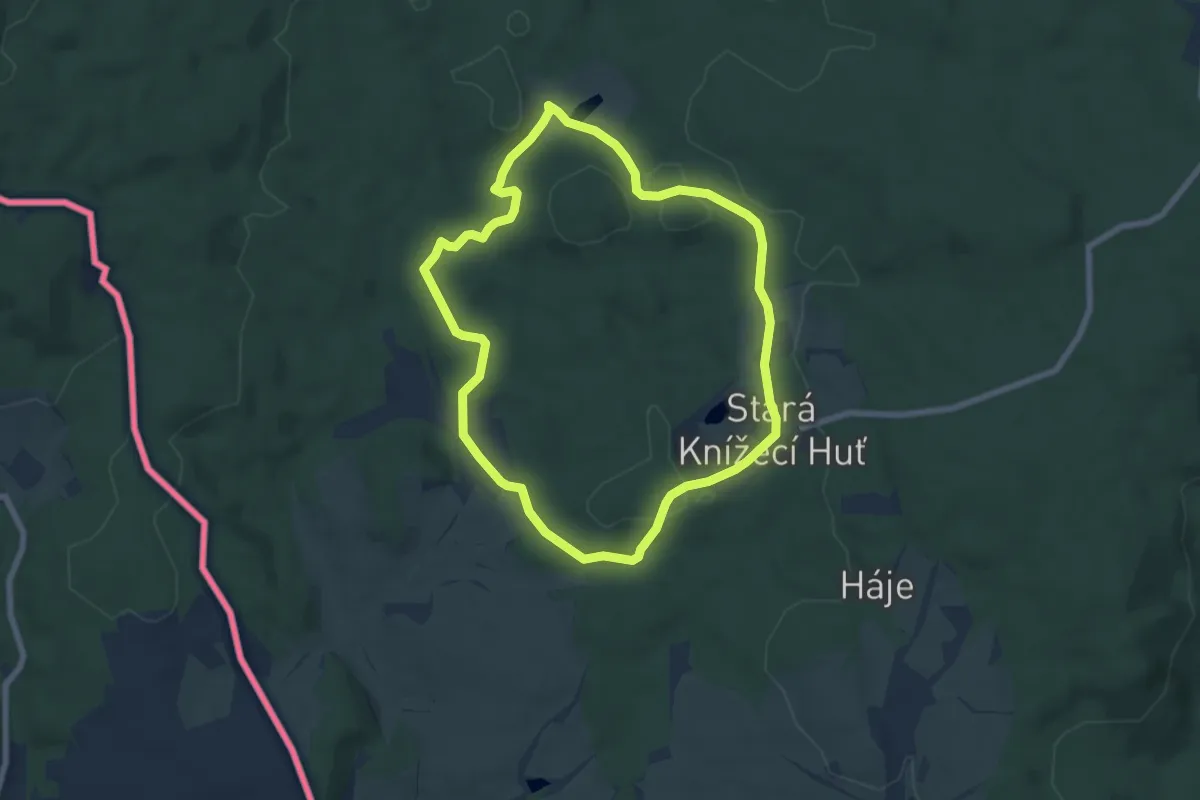
Easy · Trail
NS Historie sklářství v okolí Lesné
6.3 km · ↑ 101 m · 1 h 47 min
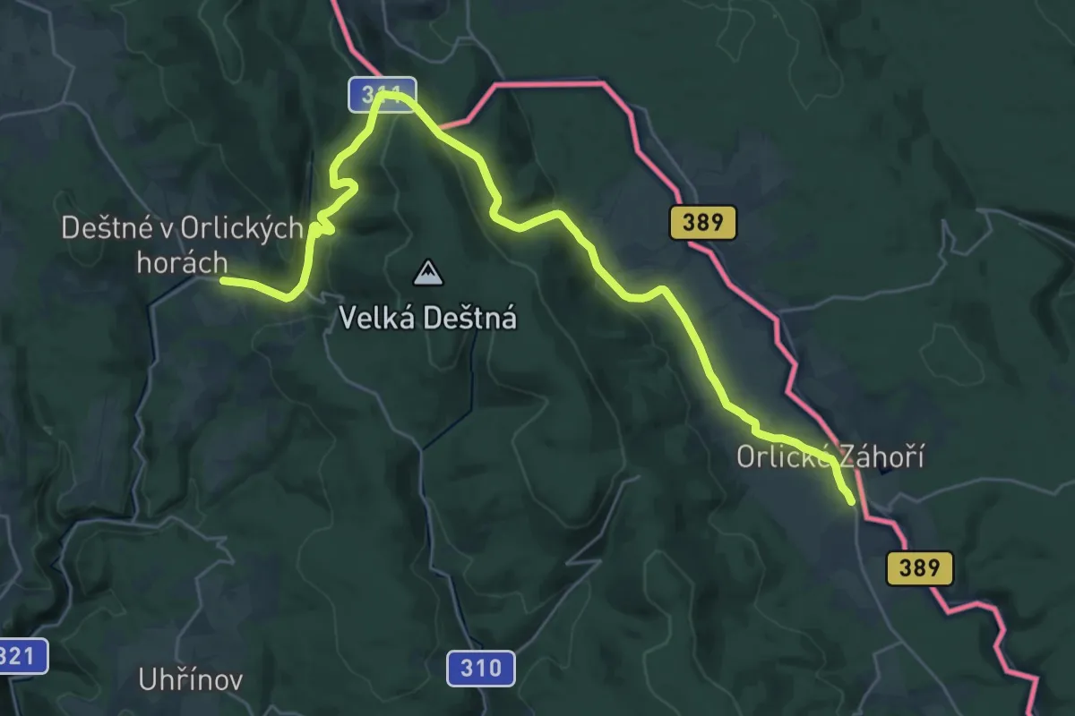
Medium · Trail
NS Historie tavení skla
14.7 km · ↑ 371 m · 4 h 28 min
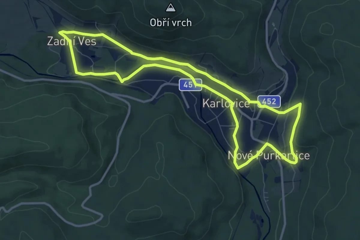
Medium · Trail
NS Historií a přírodou Karlovic
8.2 km · ↑ 100 m · 2 h 16 min
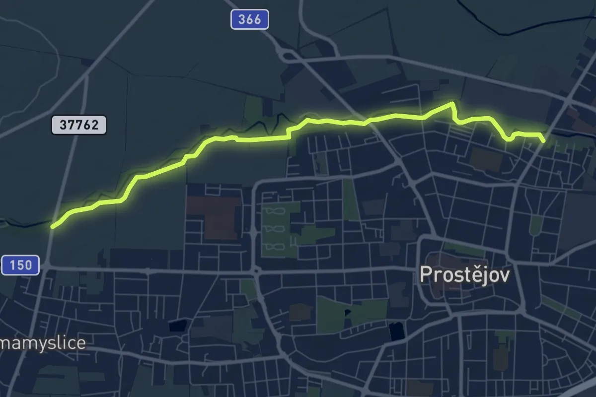
Medium · Trail
NS Hloučela
8.5 km · ↑ 21 m · 2 h 3 min
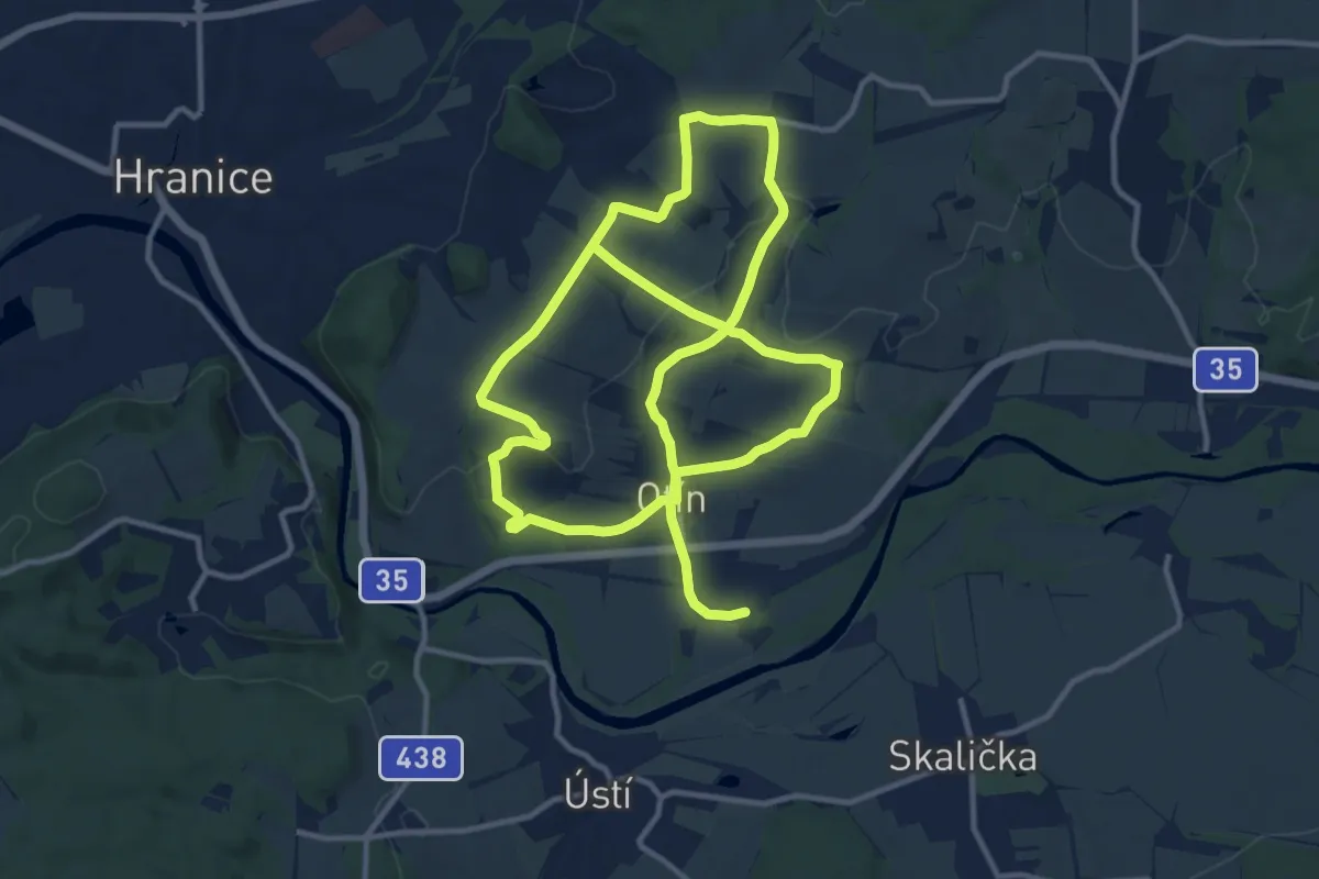
Demanding · Trail
NS Hluzov,Černotín
22.8 km · ↑ 399 m · 6 h 15 min
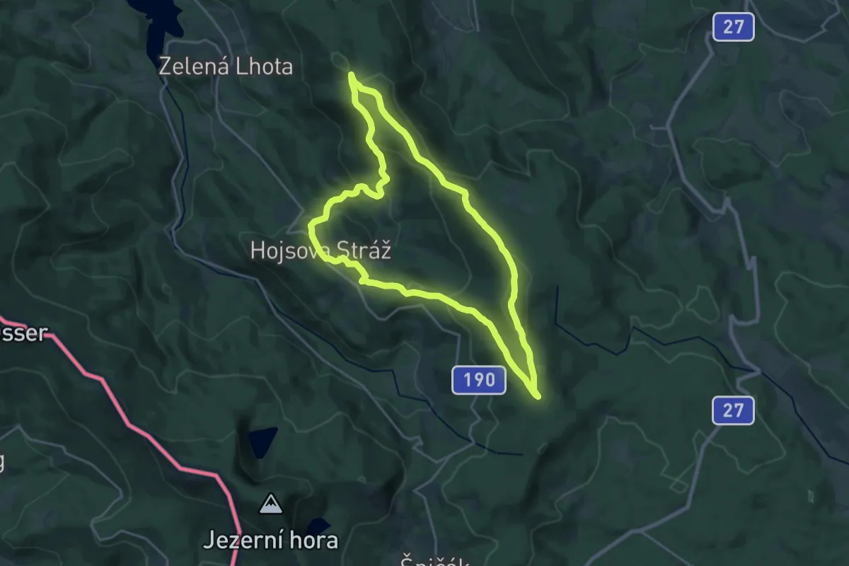
Medium · Summit
NS Hojsova Stráž
17.7 km · ↑ 656 m · 5 h 50 min
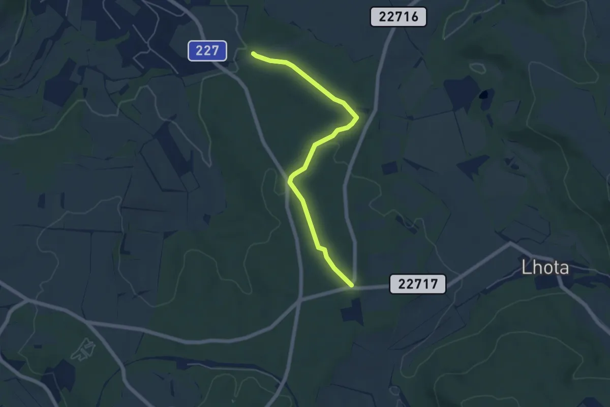
Easy · Trail
NS Holedeč - lesní putování s Hopíkem
4.8 km · ↑ 71 m · 1 h 17 min
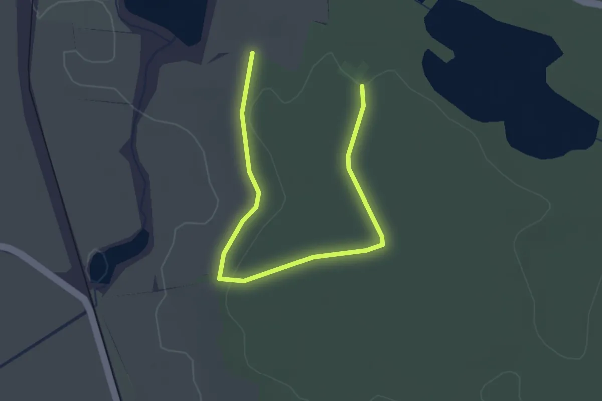
Easy · Trail
NS Holské rybníky
2.9 km · ↑ 22 m · 44 min
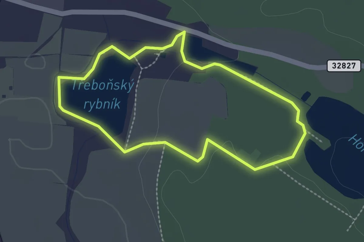
Easy · Trail
NS Holské rybníky
2.1 km · ↑ 13 m · 33 min
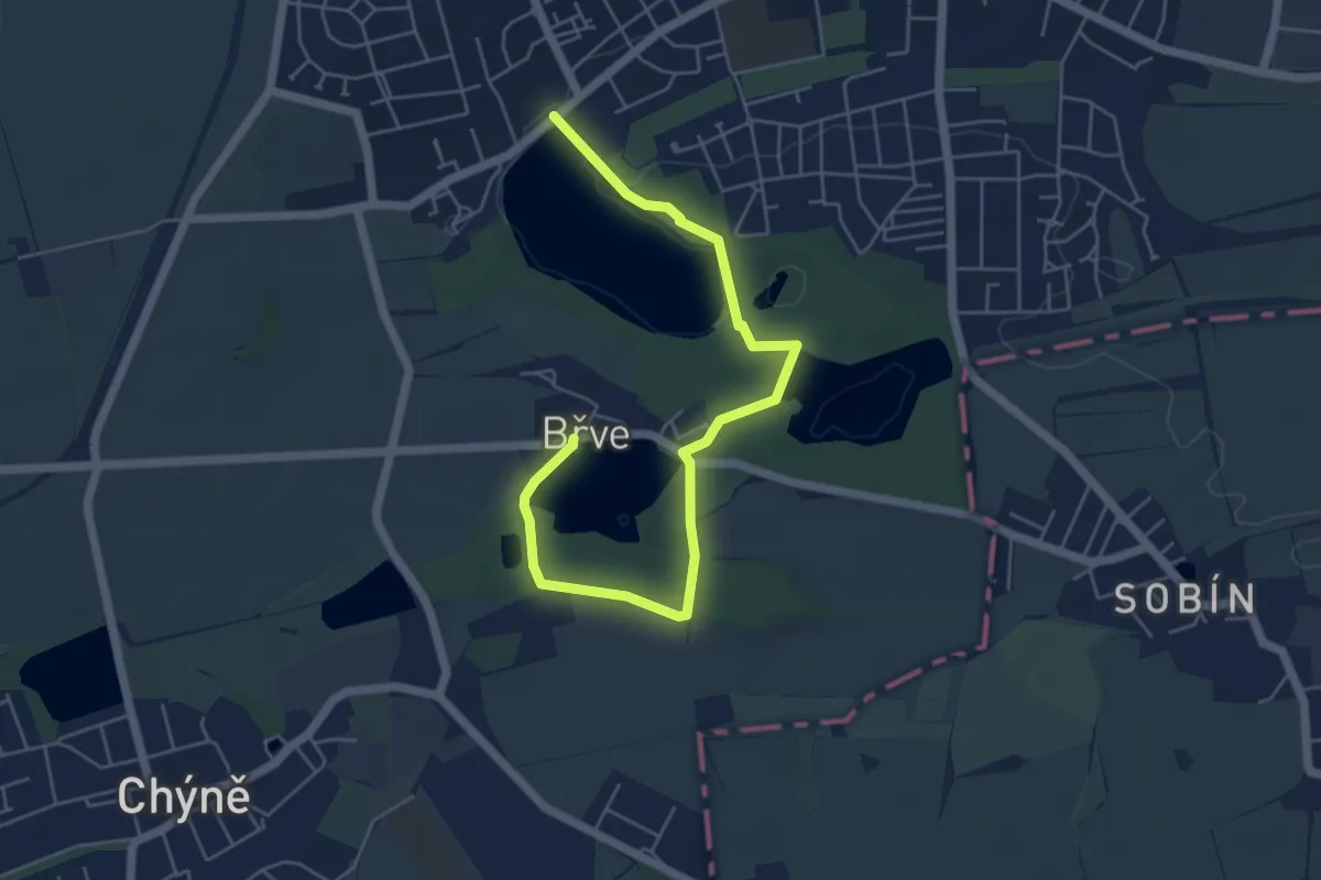
Easy · Trail
NS Hostivické rybníky
5.7 km · ↑ 26 m · 1 h 25 min
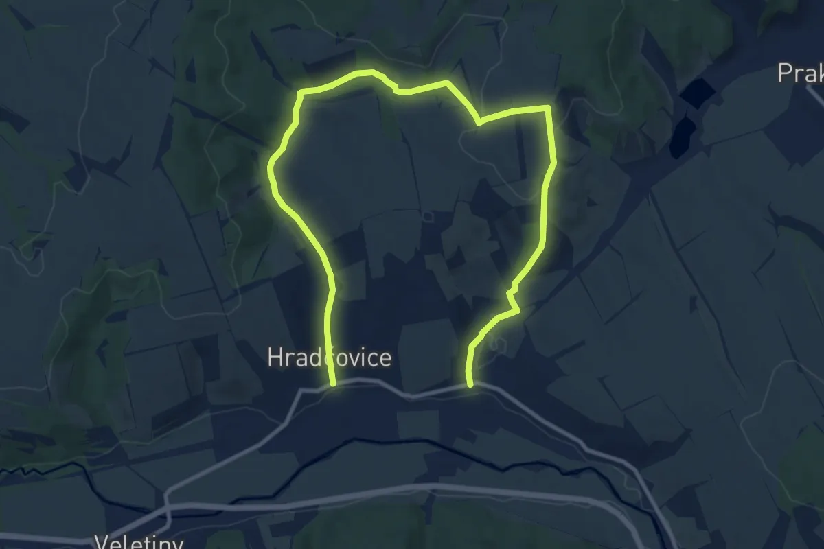
Medium · Trail
NS Hradčovice - Drslavice
13.7 km · ↑ 288 m · 3 h 52 min
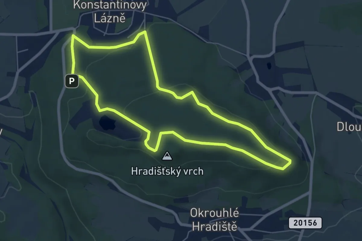
Easy · Summit
NS Hradišťský vrch
5.1 km · ↑ 163 m · 1 h 38 min
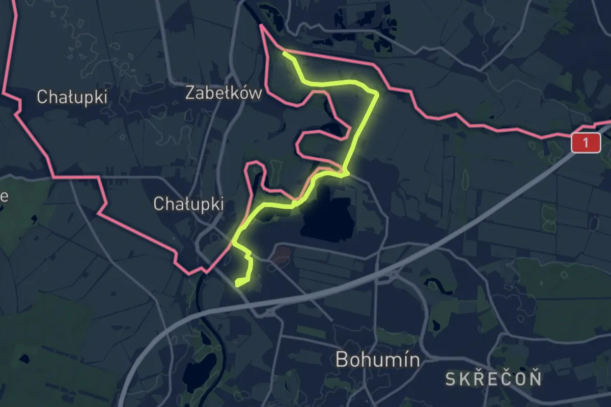
Medium · Trail
NS Hraniční meandry Odry
12.9 km · ↑ 4 m · 3 h 4 min
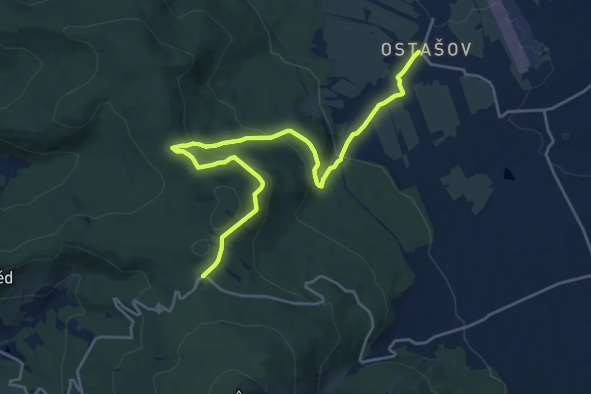
Medium · Trail
NS Hravé putování lesem
12.5 km · ↑ 468 m · 3 h 57 min
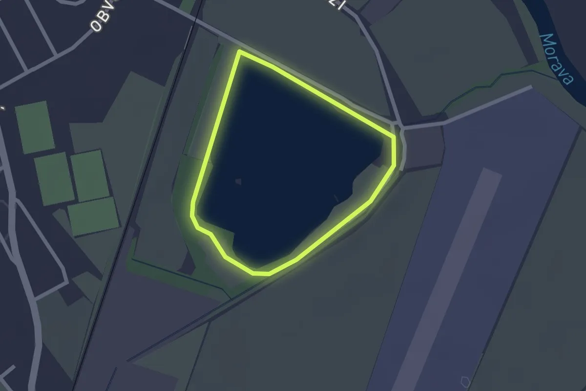
Easy · Trail
NS Hráza
1.5 km · ↑ 0 m · 23 min
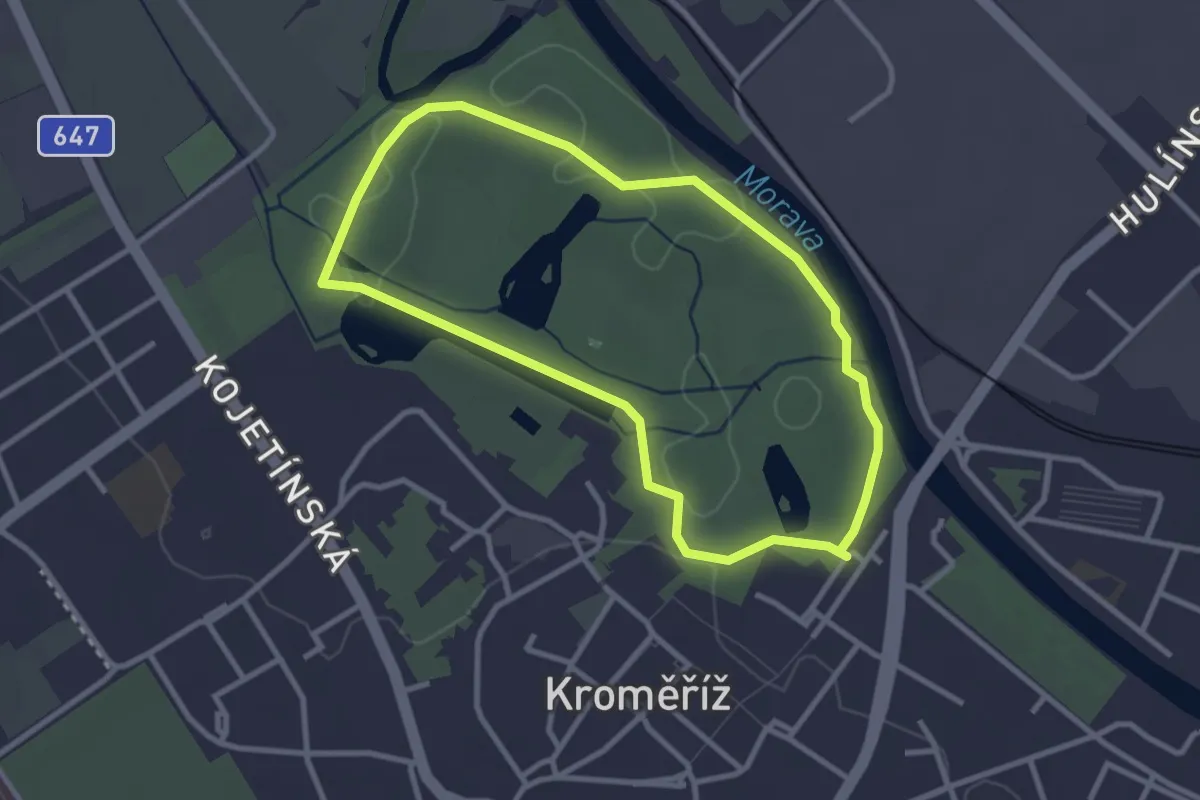
Easy · Trail
NS Hráza
2.7 km · ↑ 22 m · 43 min