Trails in Czech Republic
4,056 hiking trails, each with its route, climb, walking time and grade.
All trails, page 43 of 85
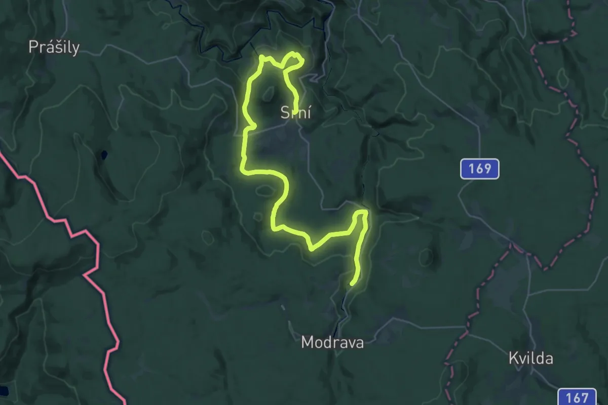
Medium · Trail
NS Vchynickotetovský kanál
16.9 km · ↑ 167 m · 4 h 38 min
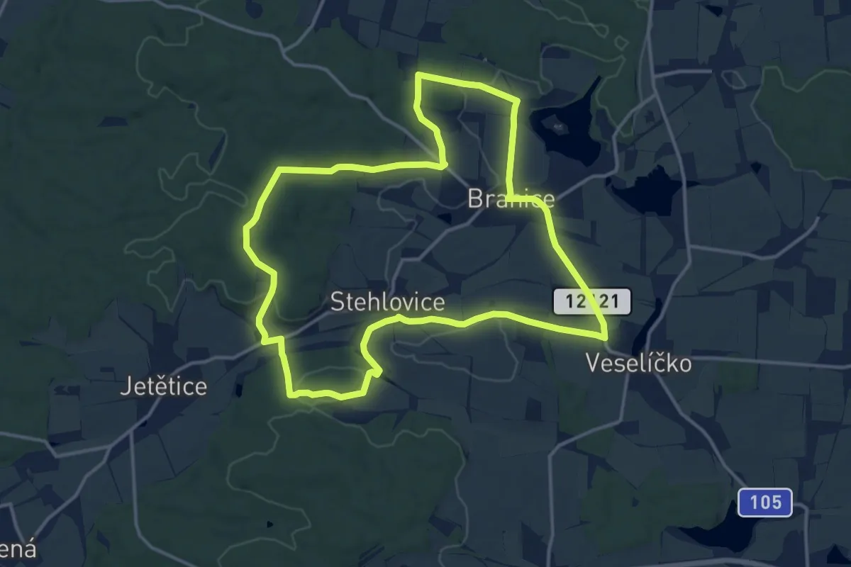
Medium · Trail
NS Vejrovského zemanství
13.0 km · ↑ 156 m · 3 h 36 min
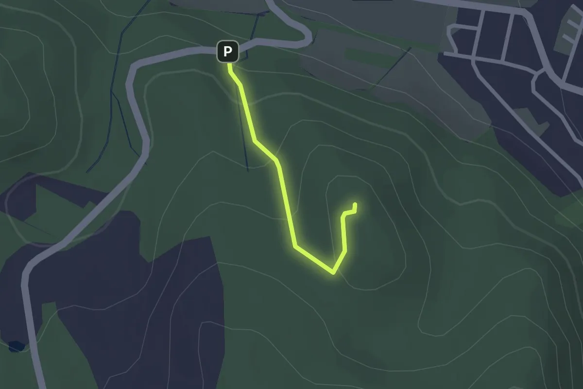
Easy · Summit
NS Velešov
1.5 km · ↑ 85 m · 33 min
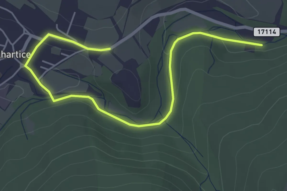
Easy · Trail
NS Velhartice
5.0 km · ↑ 59 m · 1 h 18 min
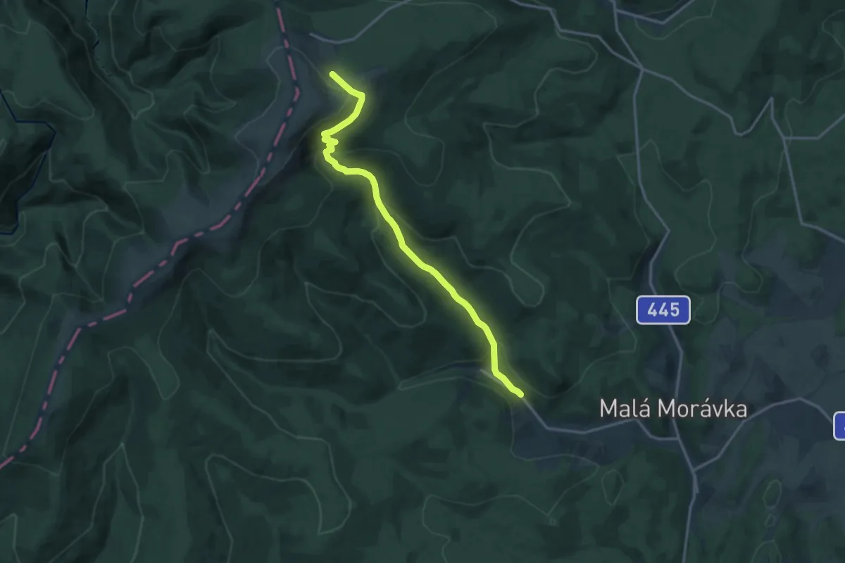
Medium · Cabin
NS Velká kotlina
13.8 km · ↑ 668 m · 4 h 42 min
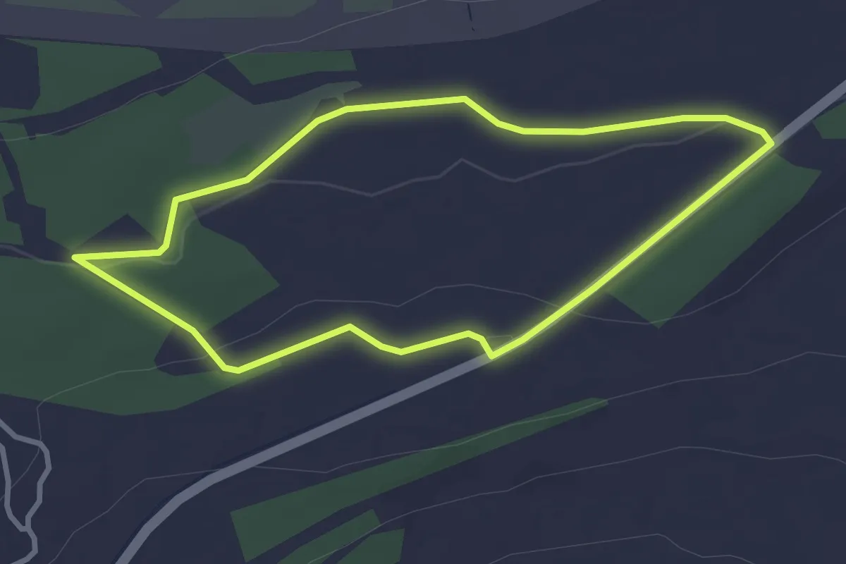
Easy · Trail
NS Velká krušnohorská výsypka
2.6 km · ↑ 31 m · 43 min
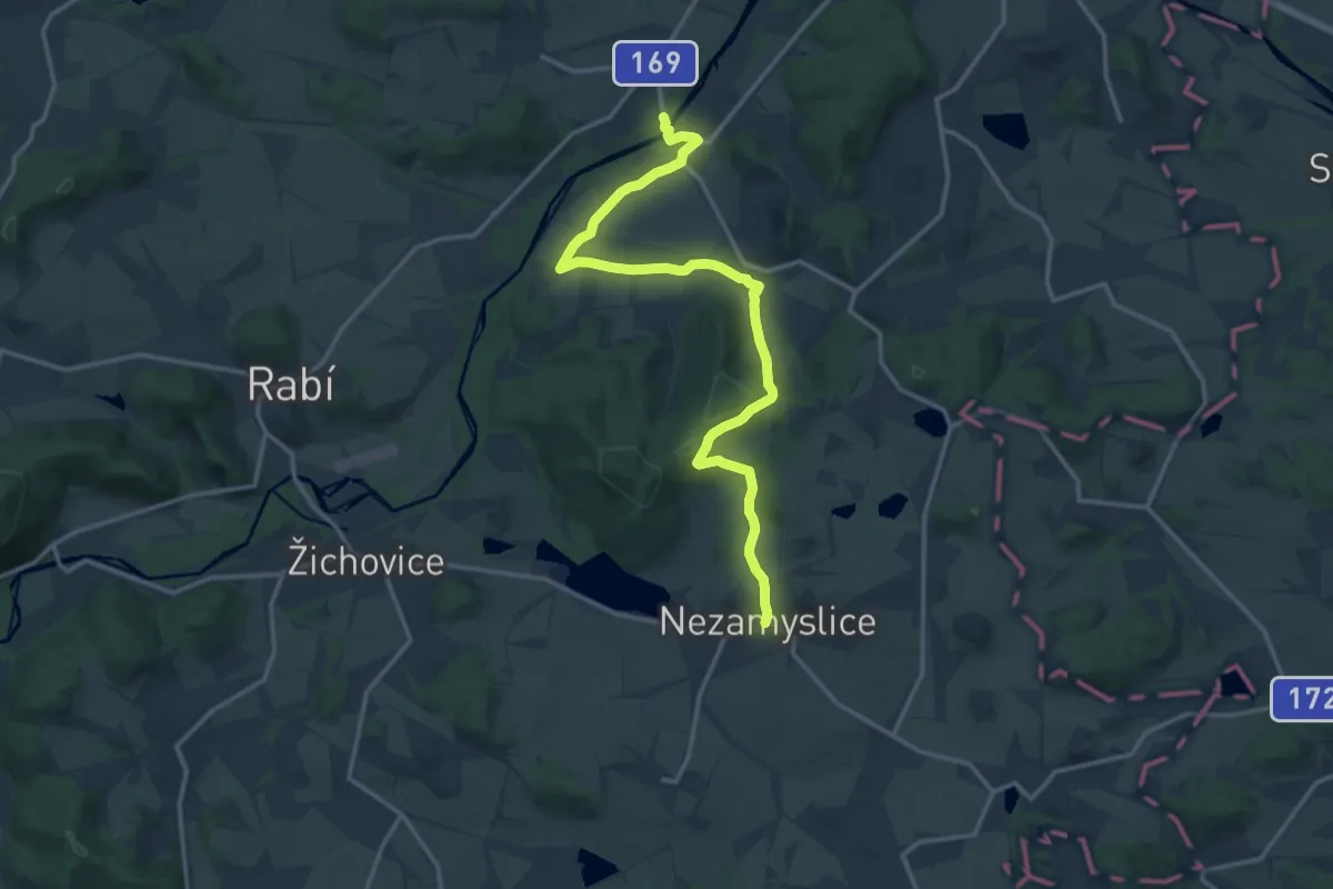
Medium · Trail
NS Velké Hydčice-Hejná-Nezamyslice
15.4 km · ↑ 254 m · 4 h 12 min
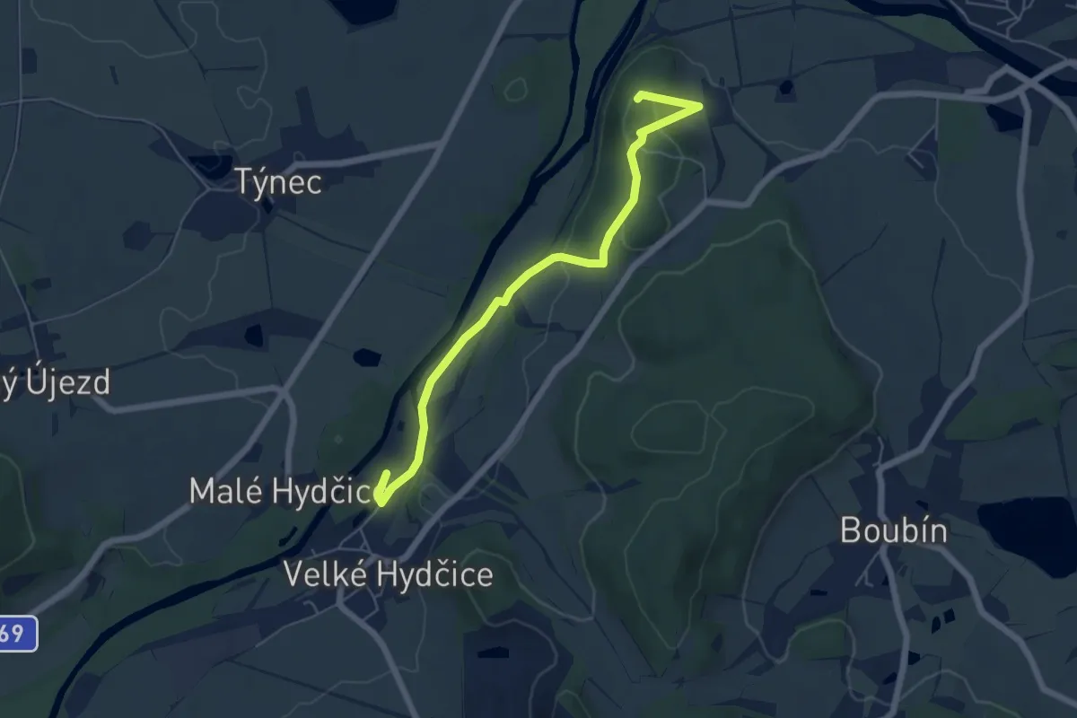
Easy · Summit
NS Velké Hydčice - Prácheň
5.5 km · ↑ 165 m · 1 h 39 min
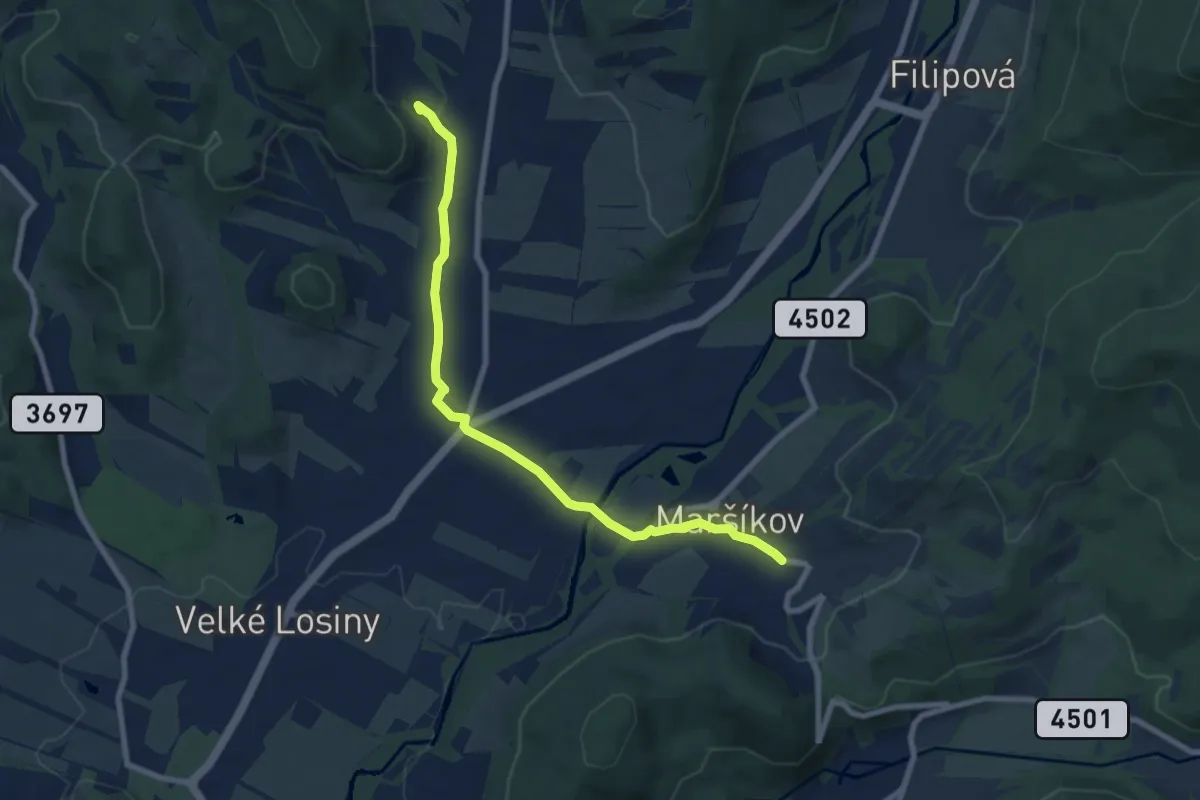
Easy · Trail
NS Velké Losiny
7.5 km · ↑ 76 m · 1 h 56 min
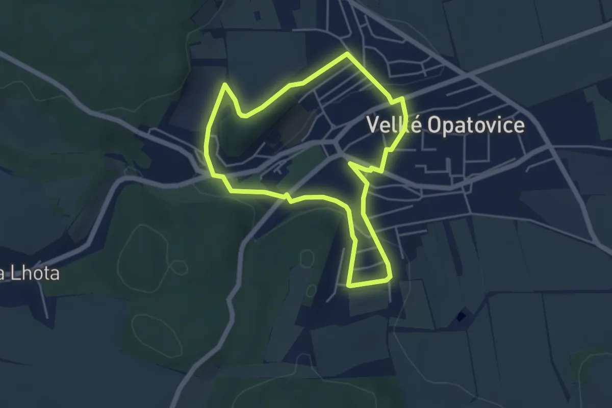
Easy · Trail
NS Velké Opatovice a okolí
3.8 km · ↑ 101 m · 1 h 10 min
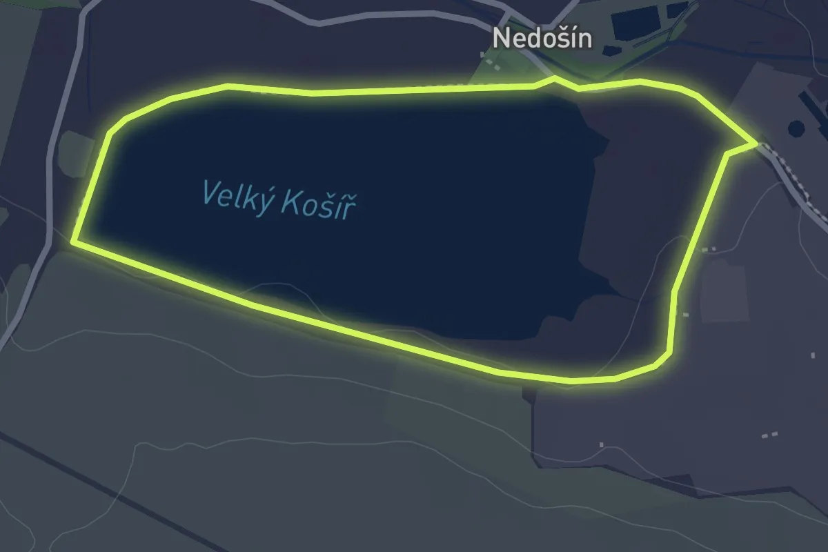
Easy · Trail
NS Velký Kosíř
2.3 km · ↑ 4 m · 35 min
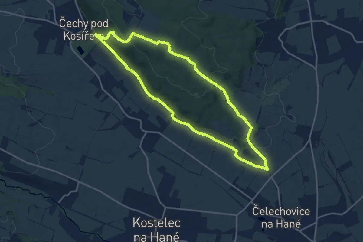
Medium · Summit
NS Velký Kosíř
10.1 km · ↑ 221 m · 3 h 1 min
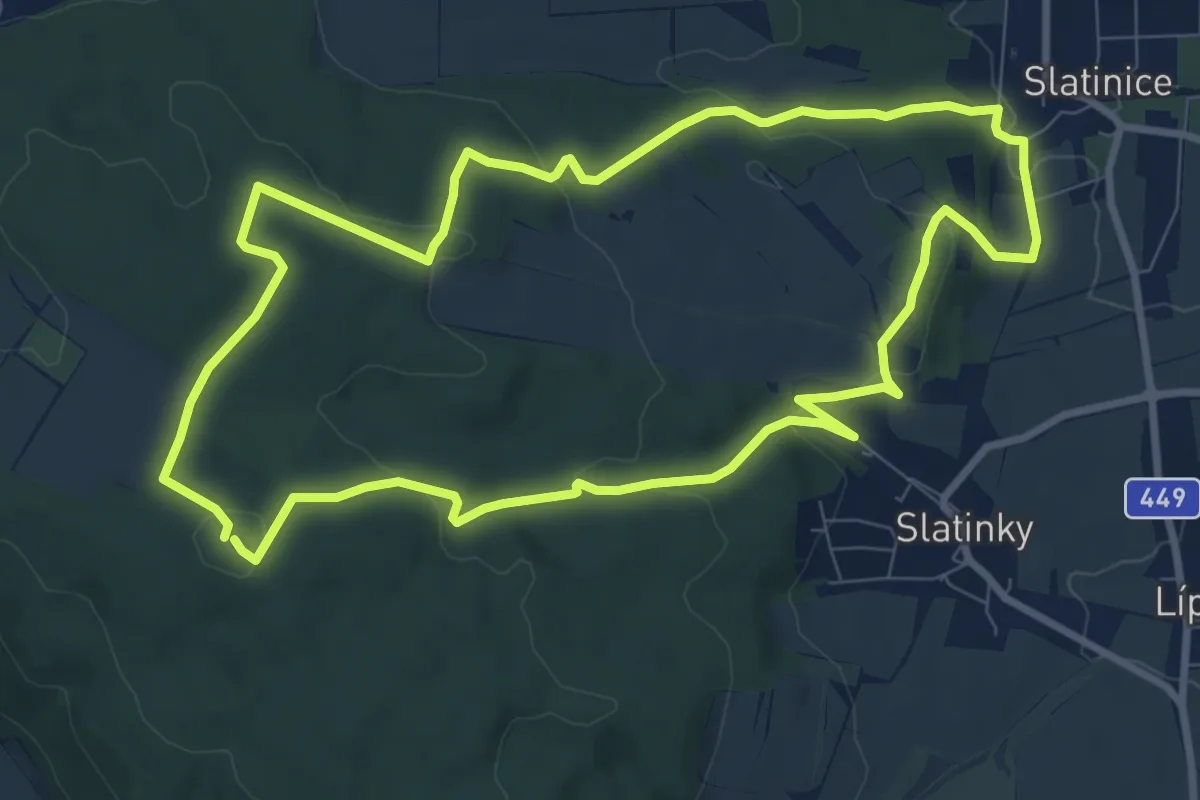
Medium · Summit
NS Velký Kosíř II
8.7 km · ↑ 243 m · 2 h 43 min
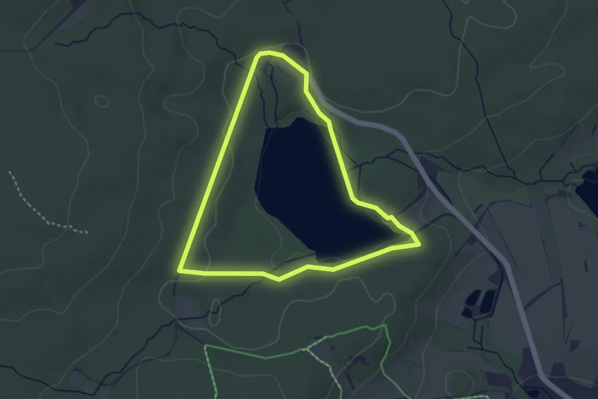
Easy · Trail
NS Velký pařezitý rybník
2.9 km · ↑ 35 m · 48 min
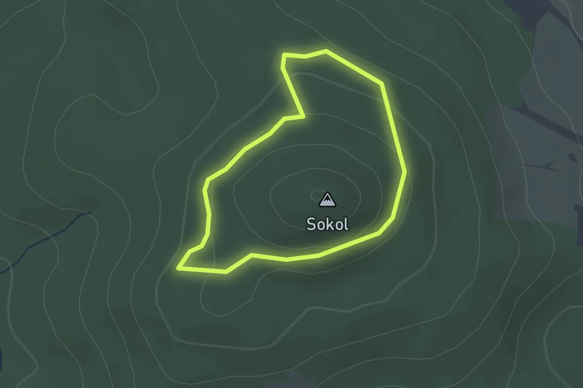
Easy · Summit
NS Velký Sokol
1.9 km · ↑ 76 m · 38 min
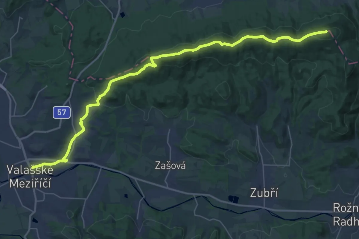
Demanding · Summit
NS Veřovické vrchy
29.9 km · ↑ 1047 m · 9 h 20 min
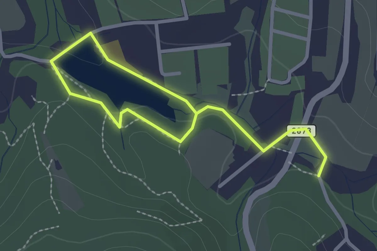
Easy · Trail
NS Vesecké údolí
2.8 km · ↑ 43 m · 45 min
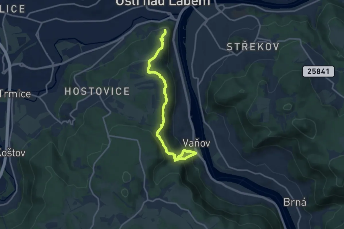
Medium · Trail
NS Větruše - Vrkoč
9.2 km · ↑ 697 m · 3 h 41 min
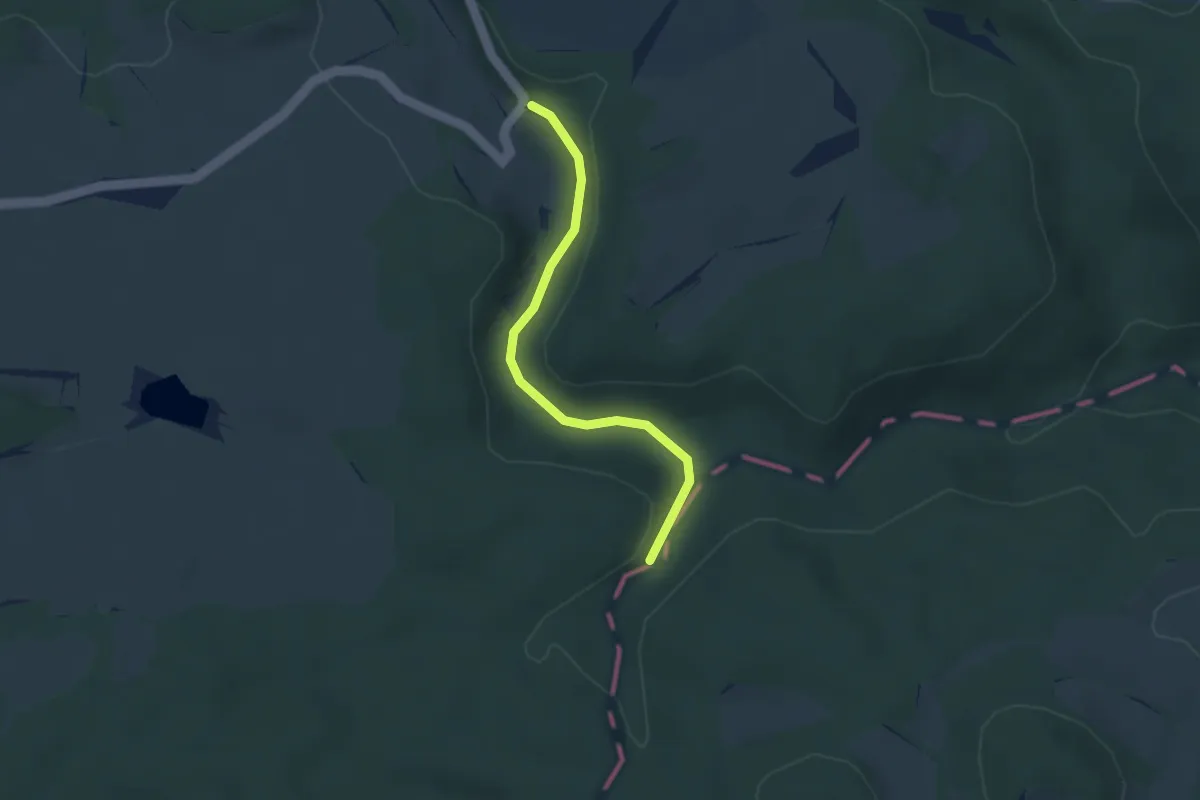
Easy · Trail
NS Vidžín - Telecí potok
2.7 km · ↑ 33 m · 43 min
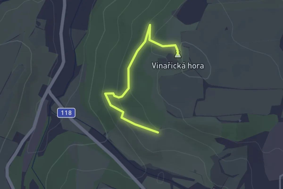
Easy · Summit
NS Vinařická hora
2.4 km · ↑ 100 m · 48 min
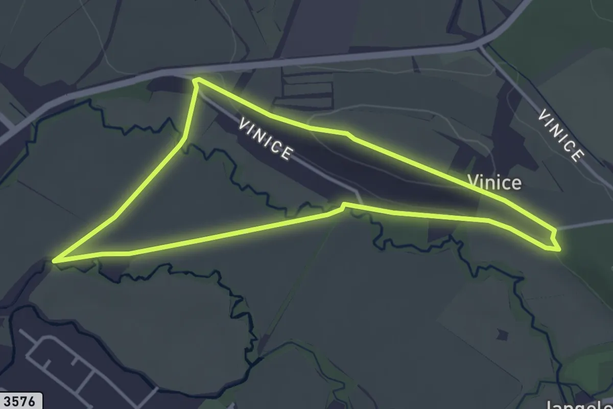
Easy · Trail
NS Vinice
3.3 km · ↑ 37 m · 55 min
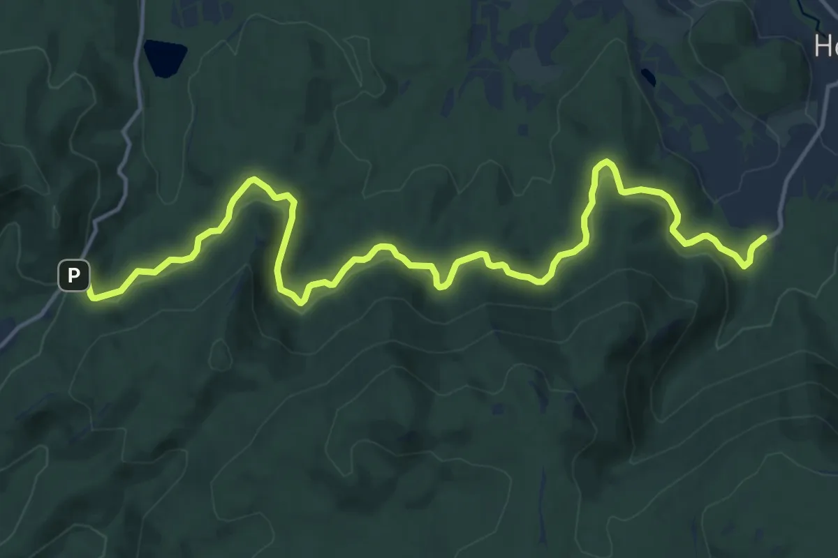
Medium · Trail
NS Viničná cesta
15.8 km · ↑ 661 m · 5 h 10 min
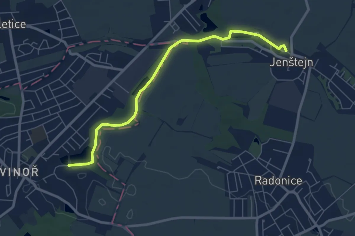
Easy · Trail
NS Vinoř - Jenštejn
5.5 km · ↑ 14 m · 1 h 20 min
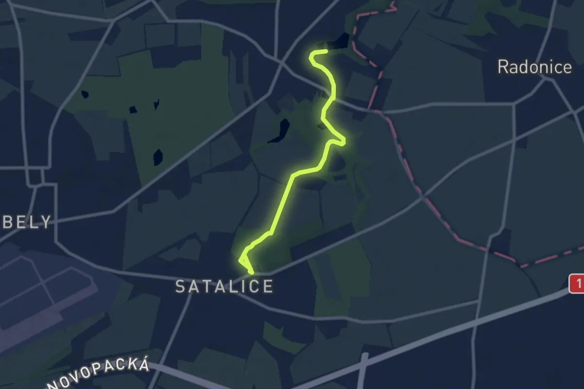
Easy · Trail
NS Vinořský park a Satalická bažantnice
6.1 km · ↑ 58 m · 1 h 34 min
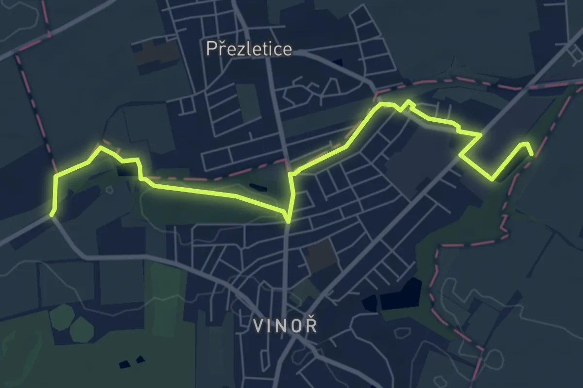
Easy · Trail
NS Vinořský park - Satalická bažantnice
6.9 km · ↑ 27 m · 1 h 41 min
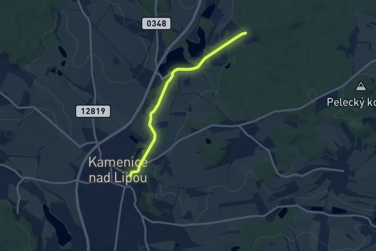
Easy · Trail
NS Vítězslava Nováka
6.5 km · ↑ 66 m · 1 h 41 min
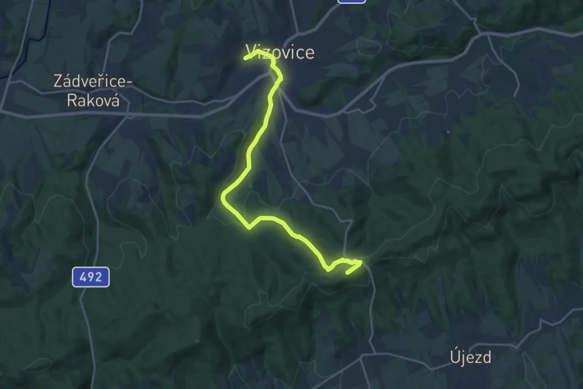
Medium · Summit
NS Vizovické prameny
15.7 km · ↑ 473 m · 4 h 43 min
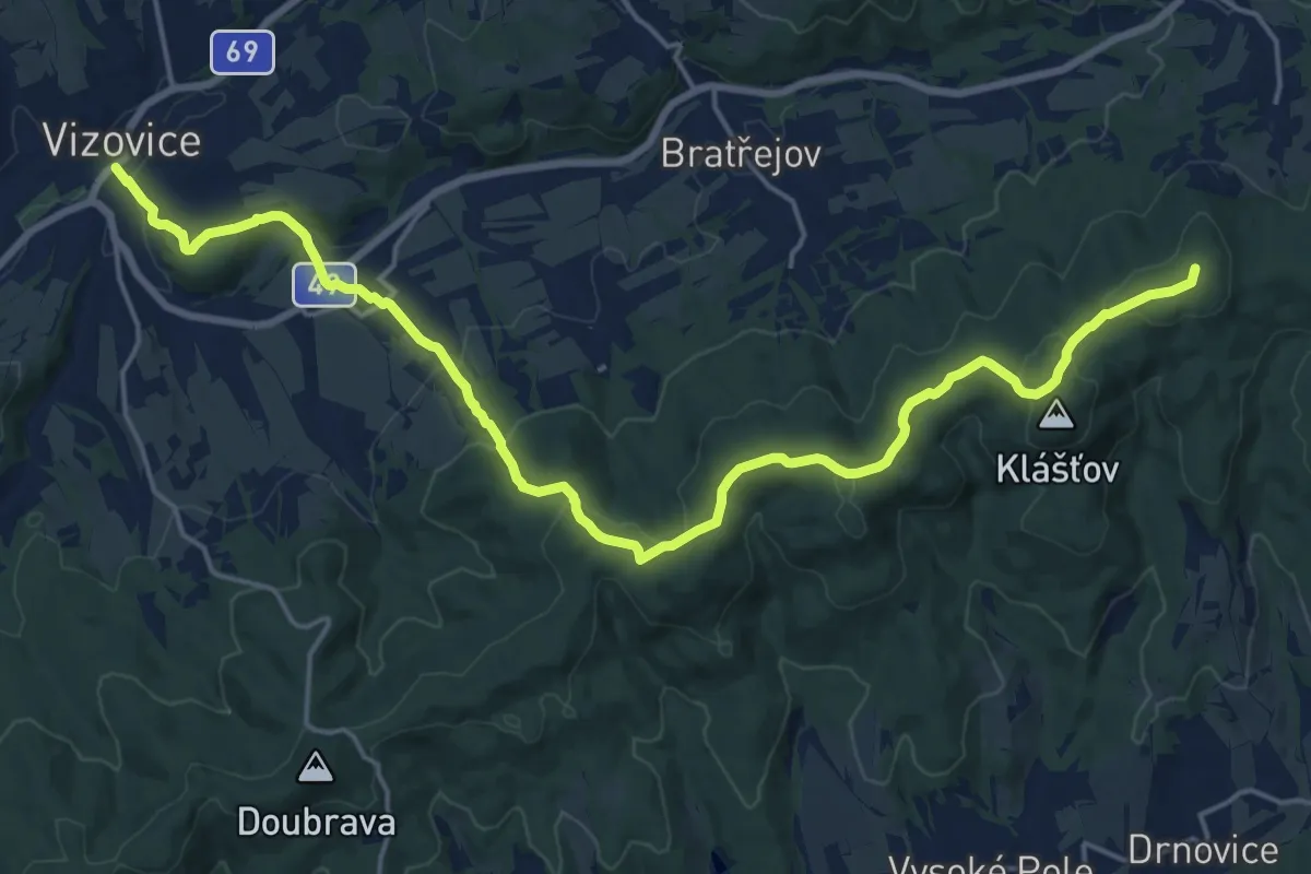
Demanding · Summit
NS Vizovické vrchy
21.0 km · ↑ 785 m · 6 h 40 min
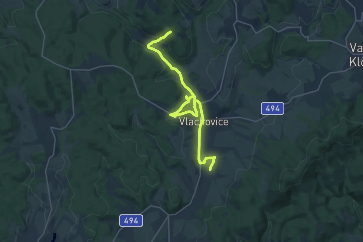
Medium · Trail
NS Vlachovská
16.7 km · ↑ 390 m · 4 h 47 min
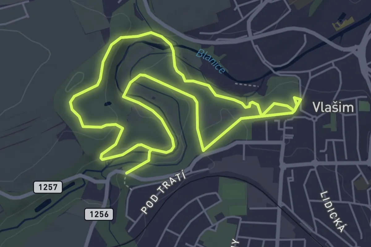
Medium · Trail
NS Vlašimským zámeckým parkem
9.2 km · ↑ 150 m · 2 h 29 min
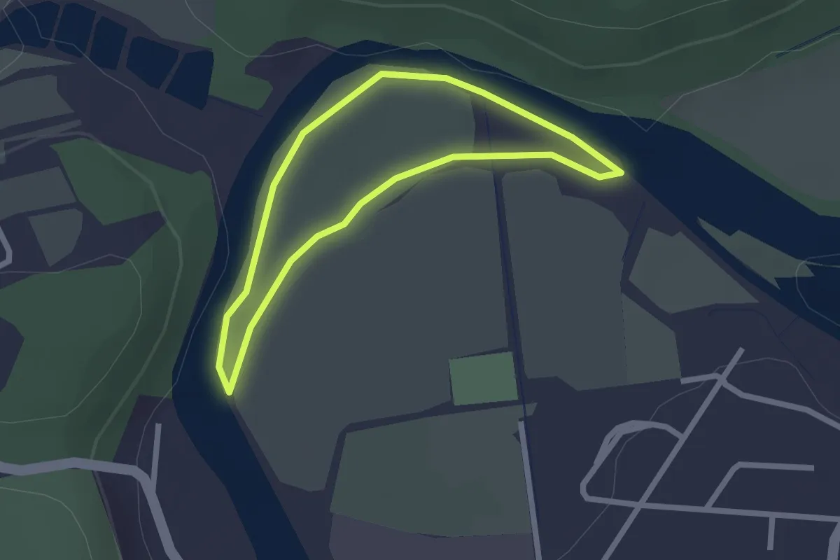
Easy · Trail
NS Vltavská pěší - Zámostí
1.8 km · ↑ 4 m · 27 min
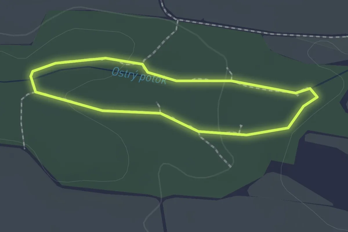
Easy · Trail
NS Vodárenský les
1.4 km · ↑ 18 m · 23 min
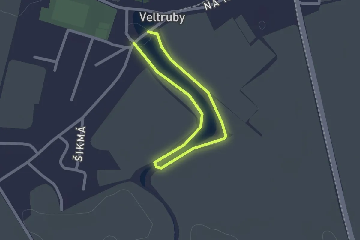
Easy · Trail
NS vodníka Jezeráčka
1.2 km · ↑ 0 m · 18 min
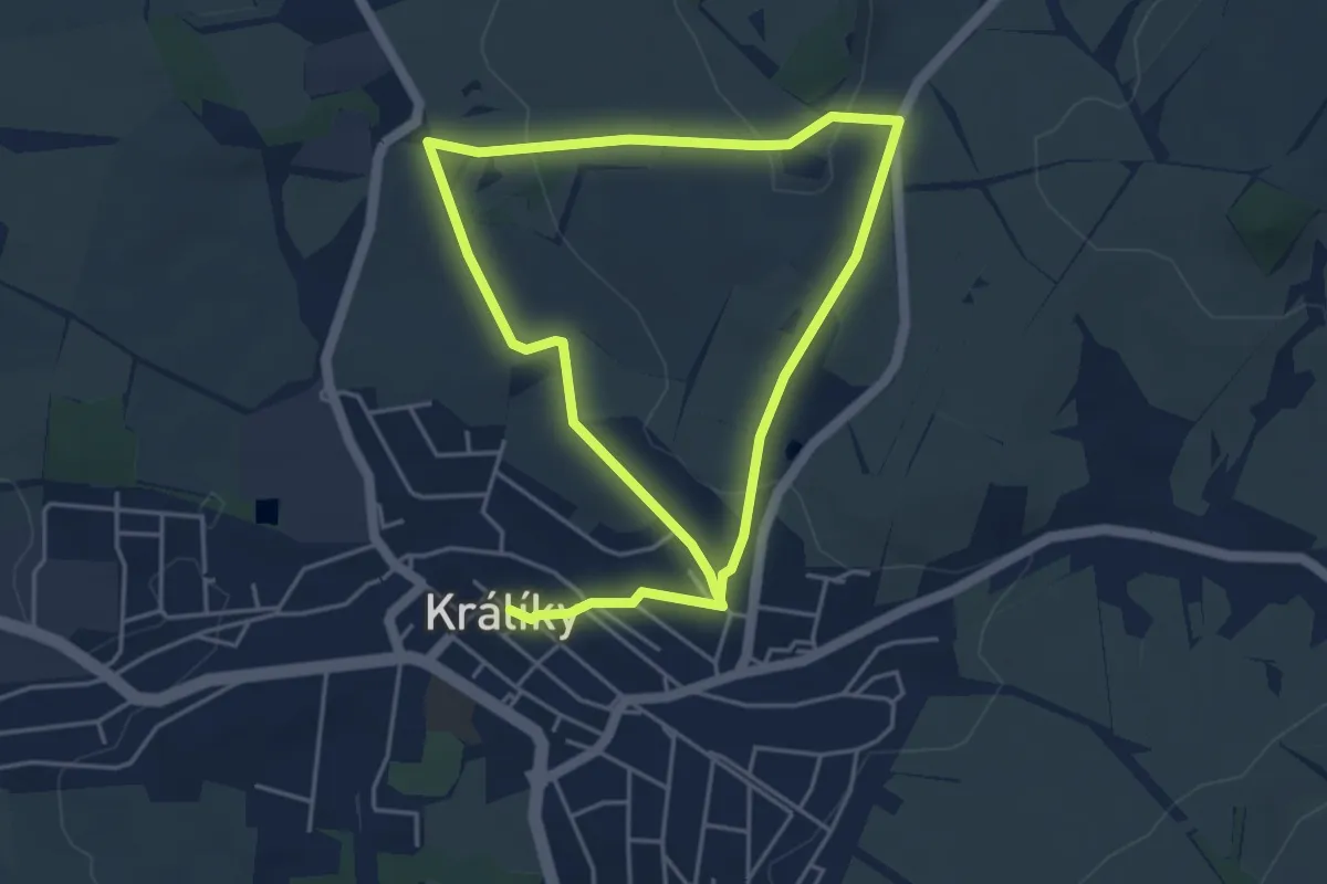
Easy · Trail
NS Vojenské historie
7.7 km · ↑ 164 m · 2 h 10 min
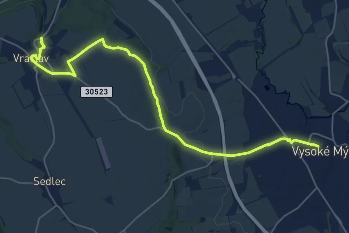
Medium · Trail
NS Vraclav
15.3 km · ↑ 144 m · 3 h 55 min
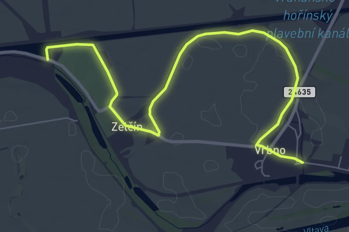
Easy · Trail
NS Vrbno - Zelčín
7.0 km · ↑ 0 m · 1 h 40 min
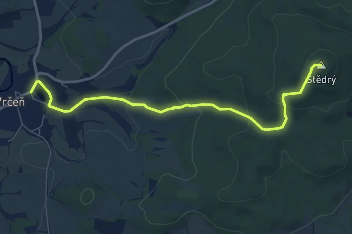
Easy · Summit
NS Vrčeň
6.3 km · ↑ 246 m · 2 h 1 min
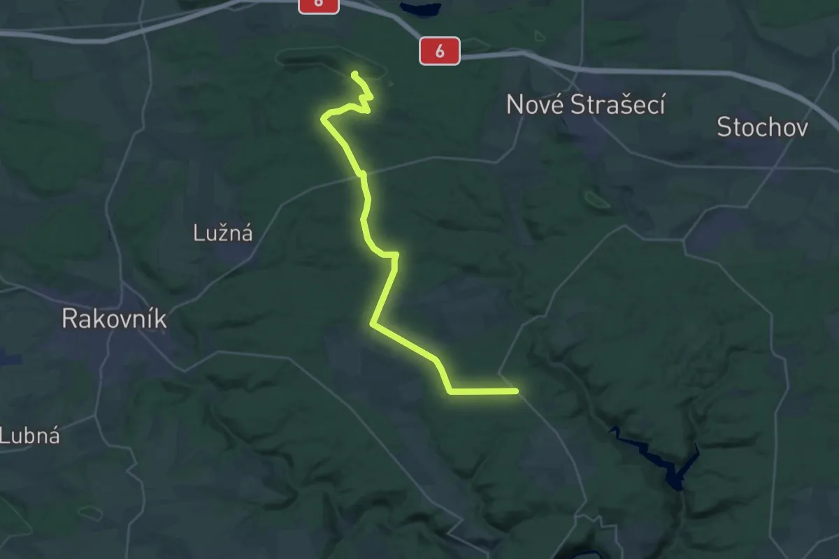
Demanding · Trail
NS Vůně dýmu a jehličí
26.6 km · ↑ 240 m · 6 h 48 min
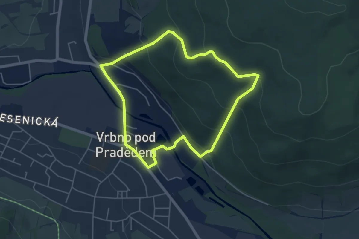
Easy · Trail
NS Vyhlídka Praděd
3.6 km · ↑ 183 m · 1 h 18 min
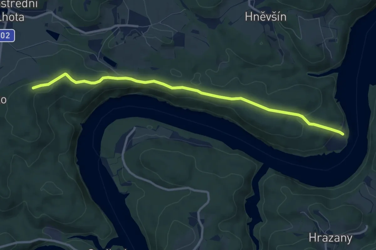
Medium · Trail
NS Vymyšlenská pěšina
8.2 km · ↑ 204 m · 2 h 22 min
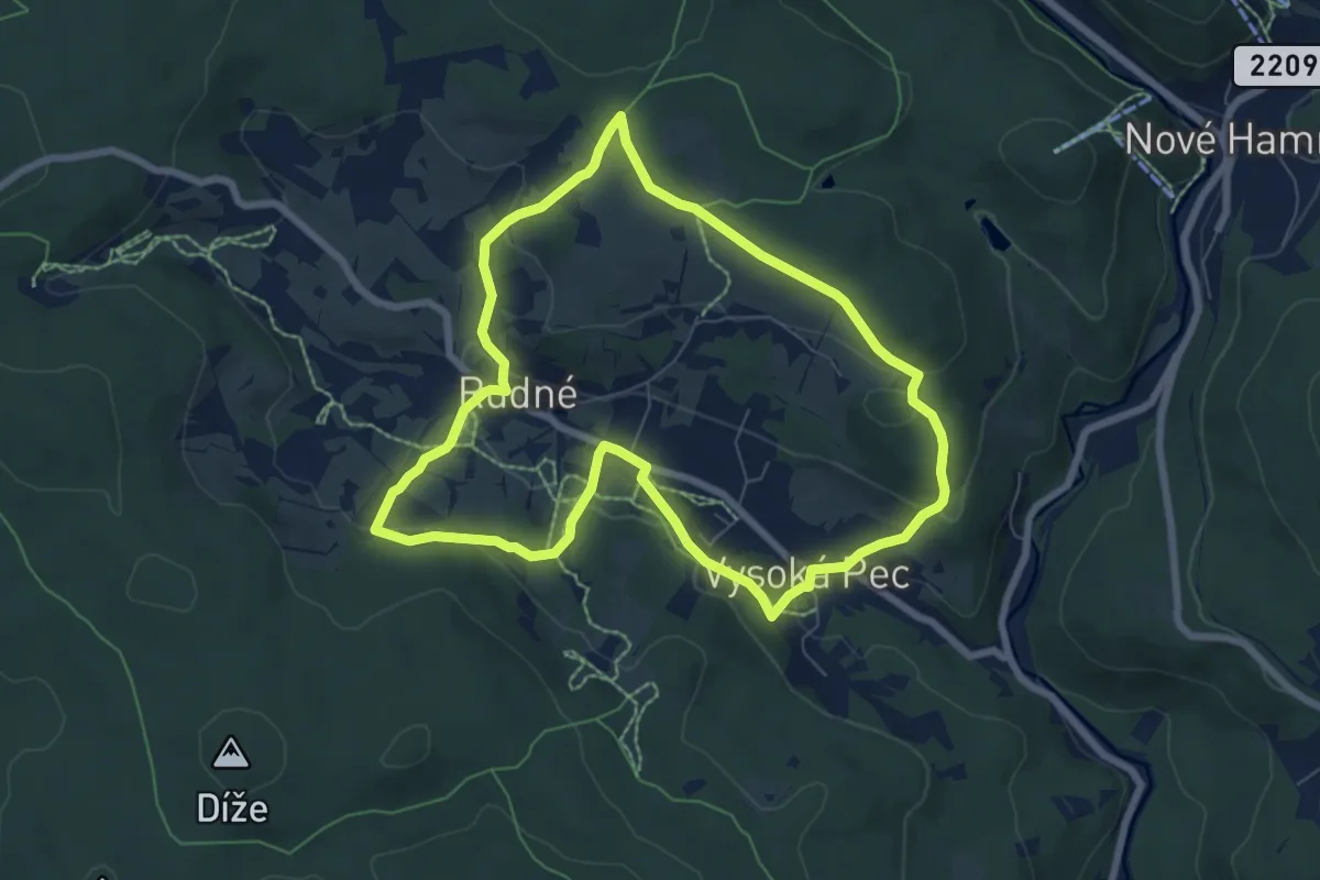
Easy · Trail
NS Vysoká pec - Rudná
6.5 km · ↑ 197 m · 2 h 3 min
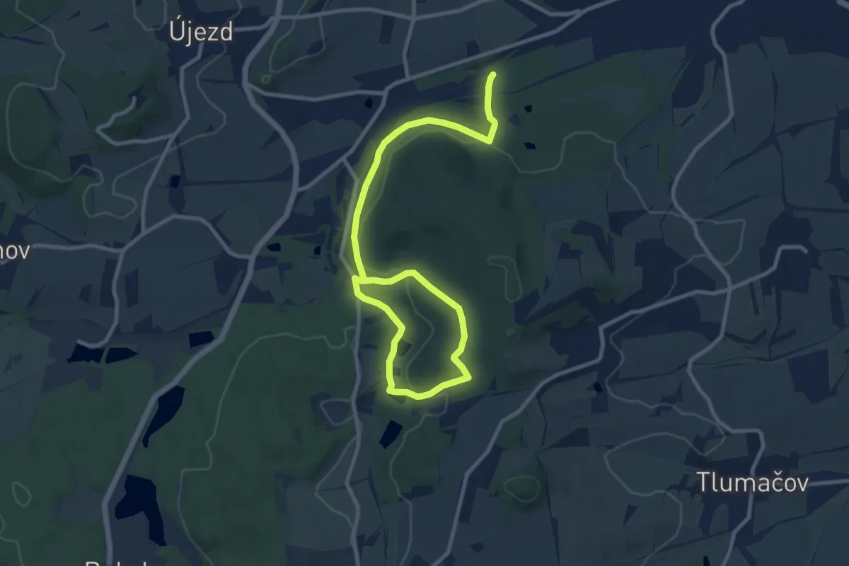
Medium · Trail
NS V Zelenovském údolí
11.8 km · ↑ 252 m · 3 h 20 min
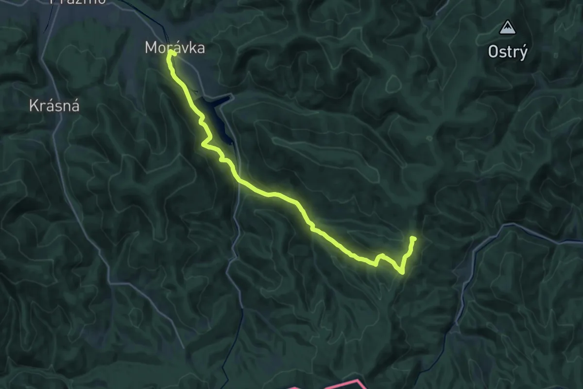
Demanding · Summit
NS Wolfram – Morávka
24.2 km · ↑ 797 m · 7 h 27 min
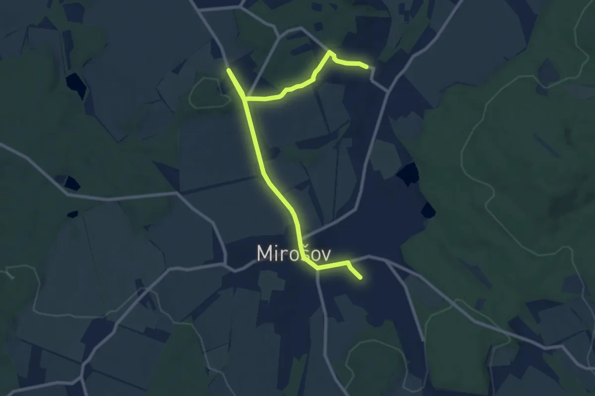
Medium · Trail
NS Za černým diamantem
8.2 km · ↑ 126 m · 2 h 13 min
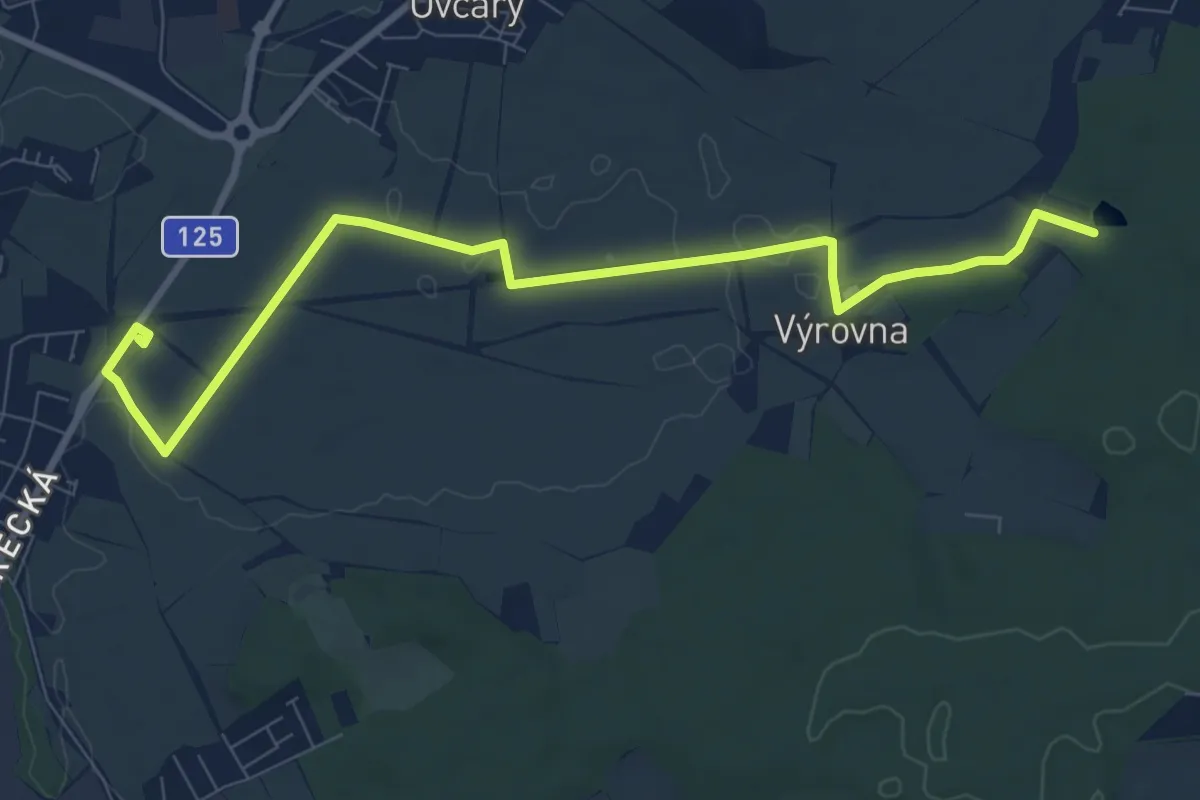
Medium · Trail
NS Za historií řepařské drážky a okolí
9.2 km · ↑ 18 m · 2 h 13 min
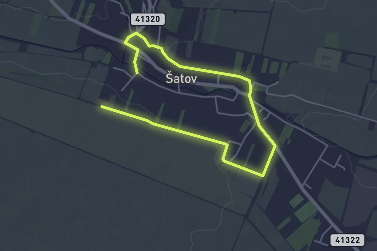
Easy · Trail
NS Za historií, vínem a opevněním
5.5 km · ↑ 48 m · 1 h 25 min
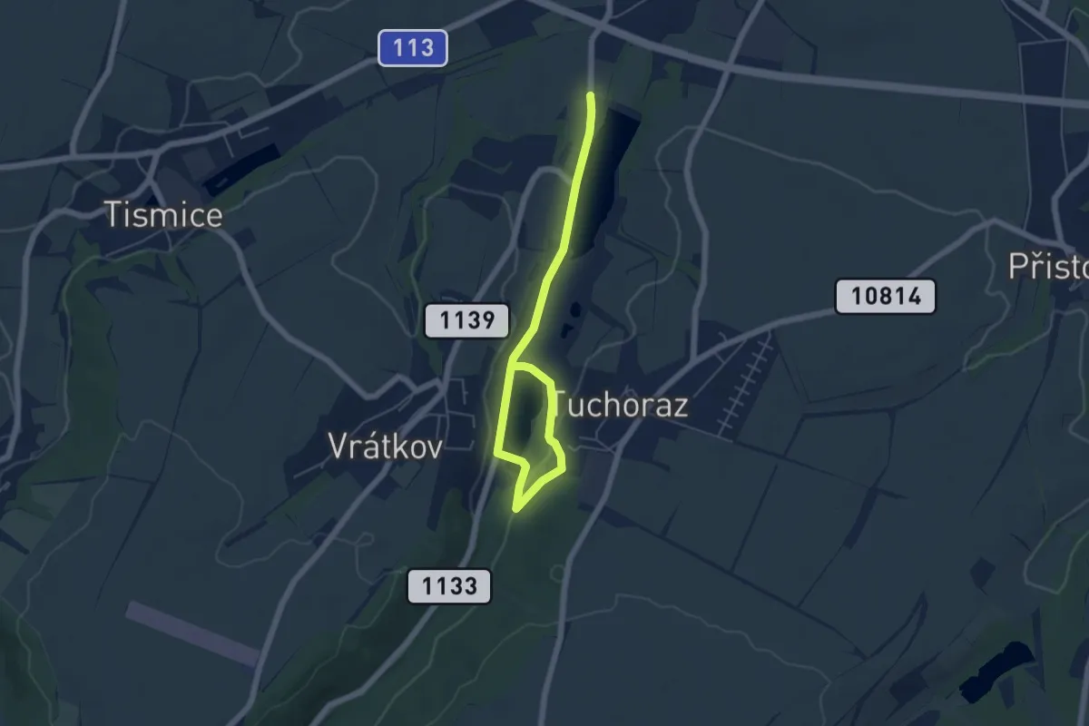
Easy · Trail
NS Zahrady
5.7 km · ↑ 78 m · 1 h 31 min
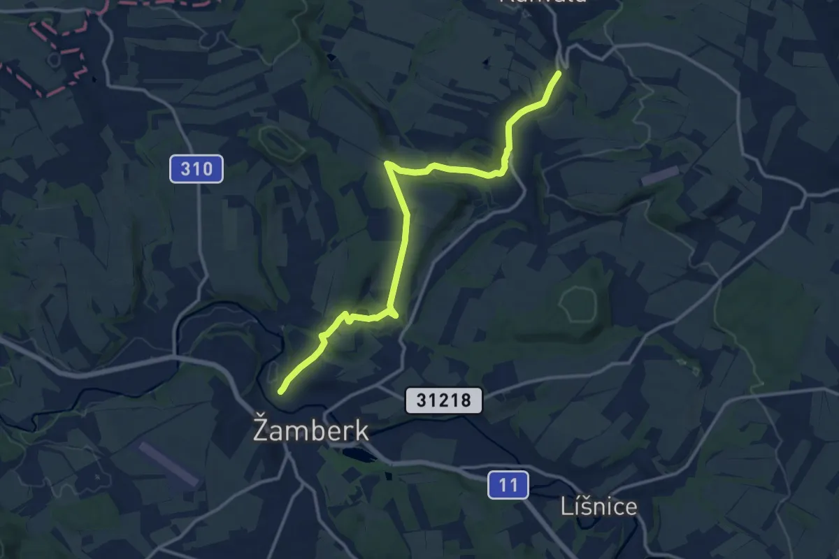
Medium · Trail
NS Žamberk - Kunvald
12.3 km · ↑ 204 m · 3 h 20 min