Trails in Czech Republic
4,056 hiking trails, each with its route, climb, walking time and grade.
All trails, page 52 of 85
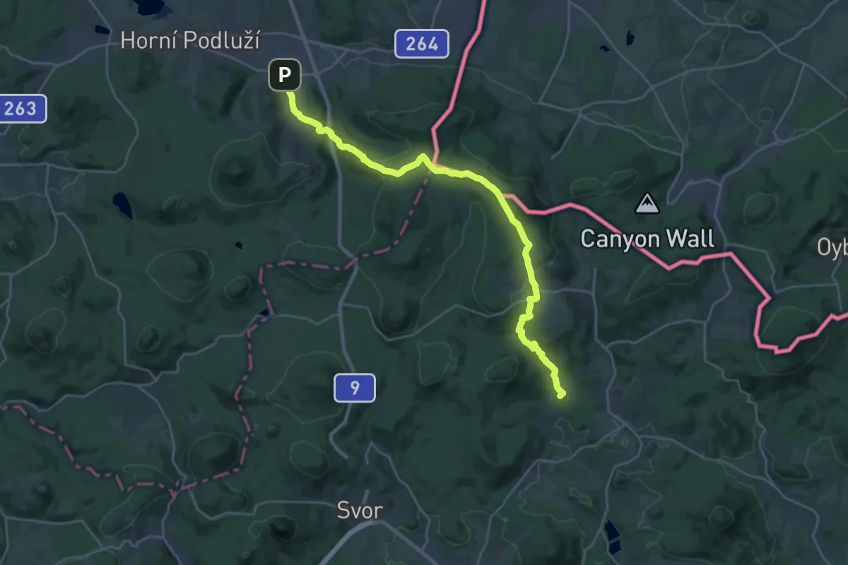
Demanding · Summit
Via Nisa Crucis - Etapa 04
23.5 km · ↑ 602 m · 6 h 51 min
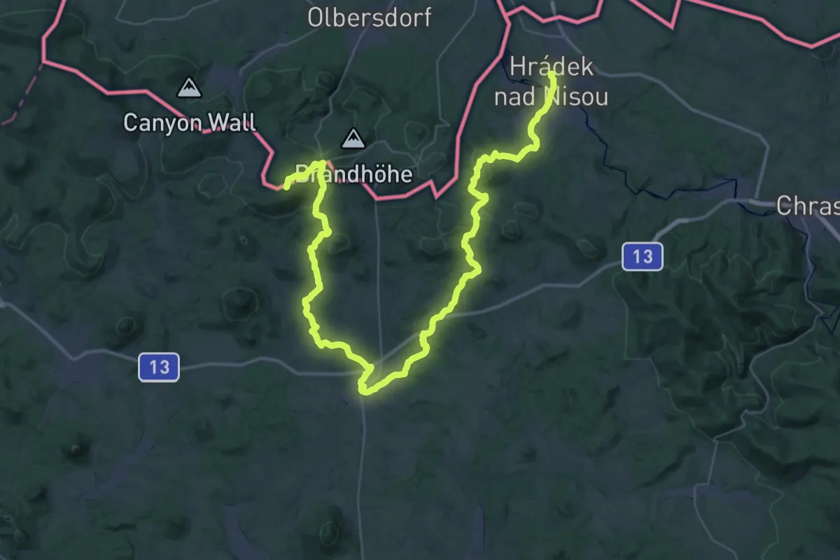
Demanding · Summit
Via Nisa Crucis - Etapa 05
54.2 km · ↑ 1258 m · 15 h 31 min
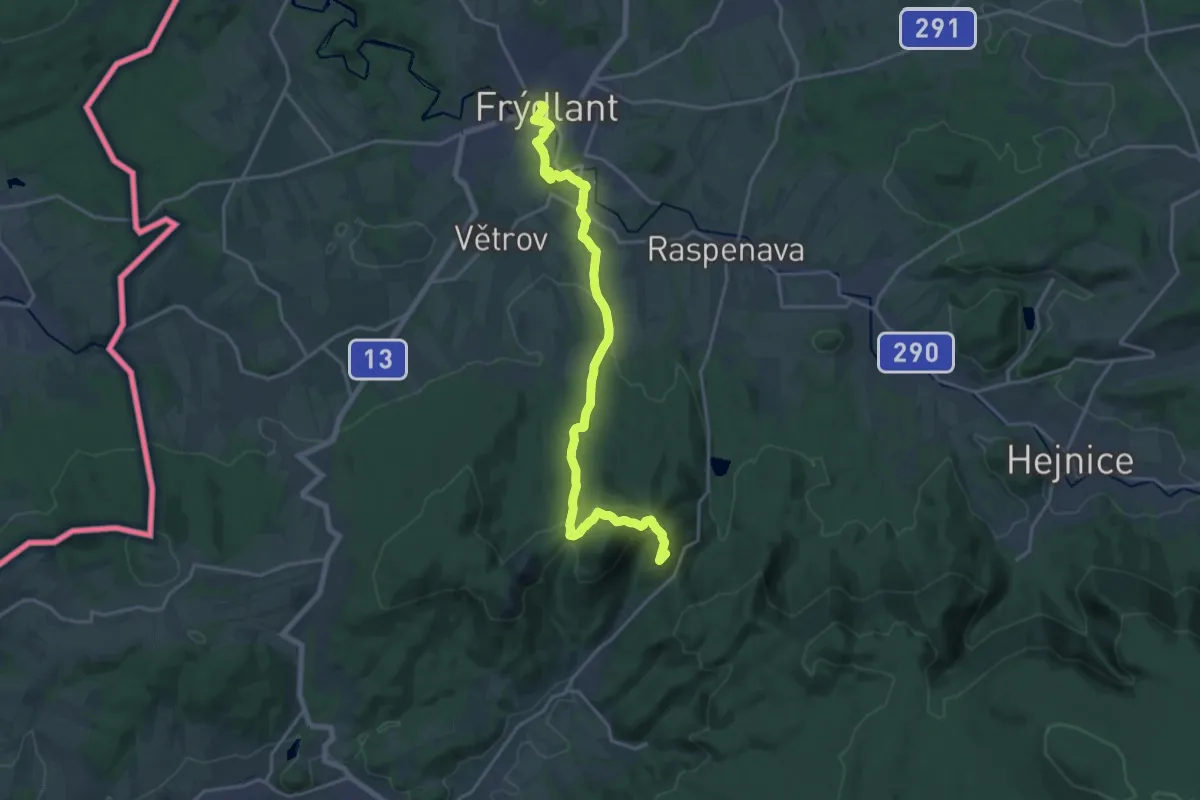
Demanding · Summit
Via Nisa Crucis - Etapa 08
19.0 km · ↑ 607 m · 5 h 48 min
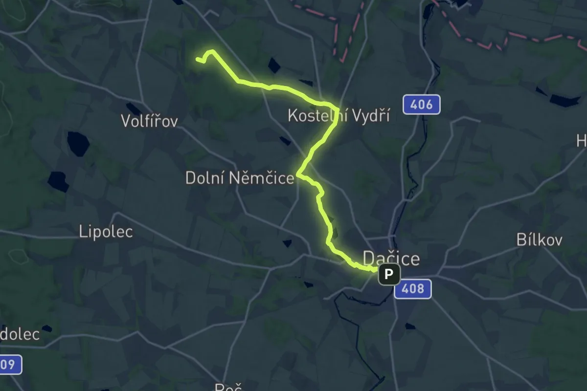
Medium · Summit
Via Tolerantiae
16.7 km · ↑ 246 m · 4 h 29 min
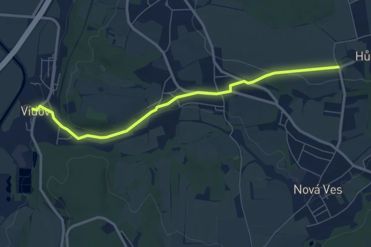
Easy · Trail
Vidov - Hůrka
6.0 km · ↑ 110 m · 1 h 40 min
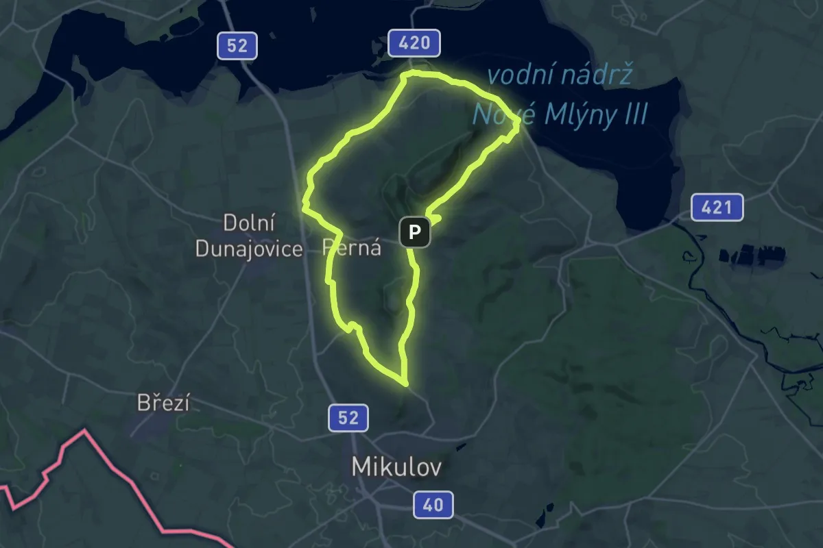
Demanding · Summit
Vinařská naučná stezka Mikulov
20.5 km · ↑ 276 m · 5 h 44 min
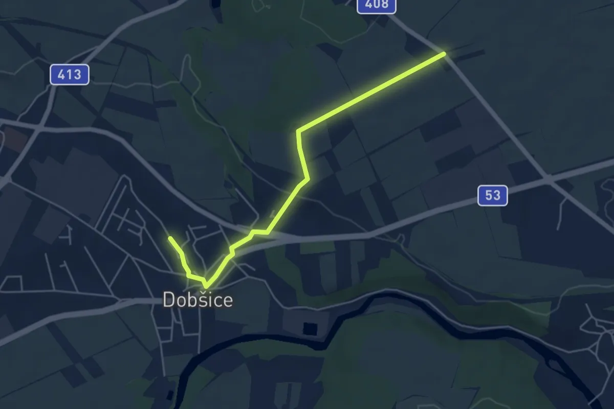
Easy · Trail
Vinařská stezka po stopách Napoleona
4.6 km · ↑ 72 m · 1 h 15 min
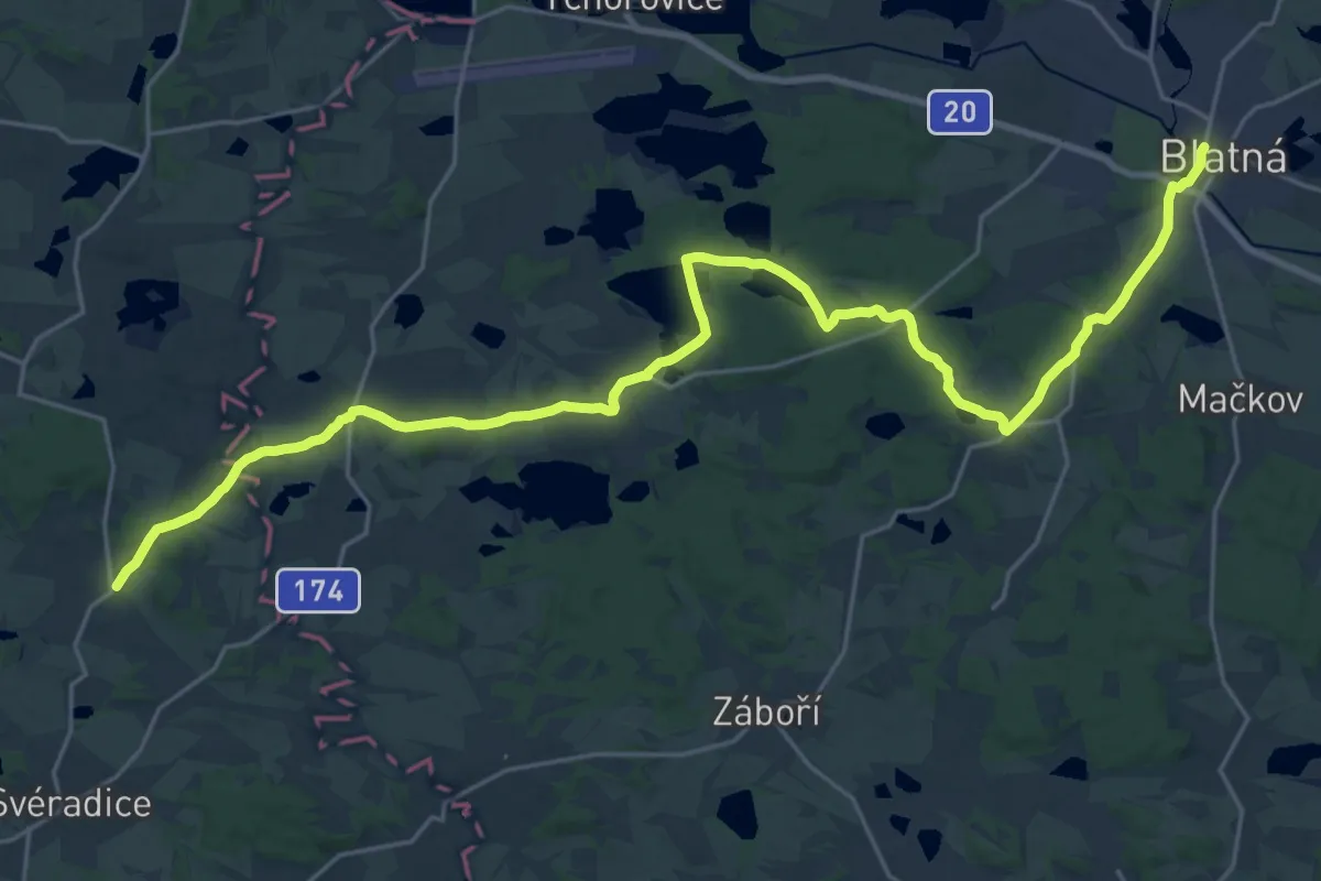
Medium · Pilgrim path
Vintířova stezka
14.4 km · ↑ 126 m · 3 h 54 min
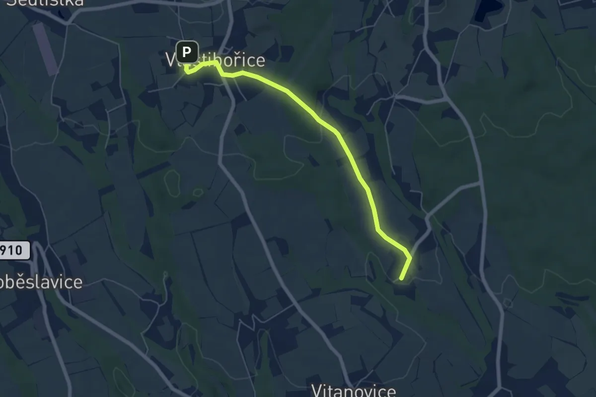
Easy · Trail
Vlastibořická cesta
5.1 km · ↑ 86 m · 1 h 24 min
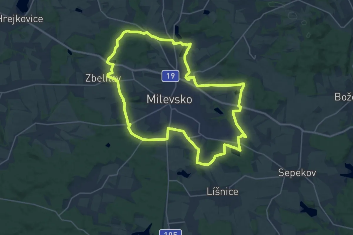
Demanding · Trail
Vlastivědná NS Milevsko
18.4 km · ↑ 256 m · 5 h 9 min
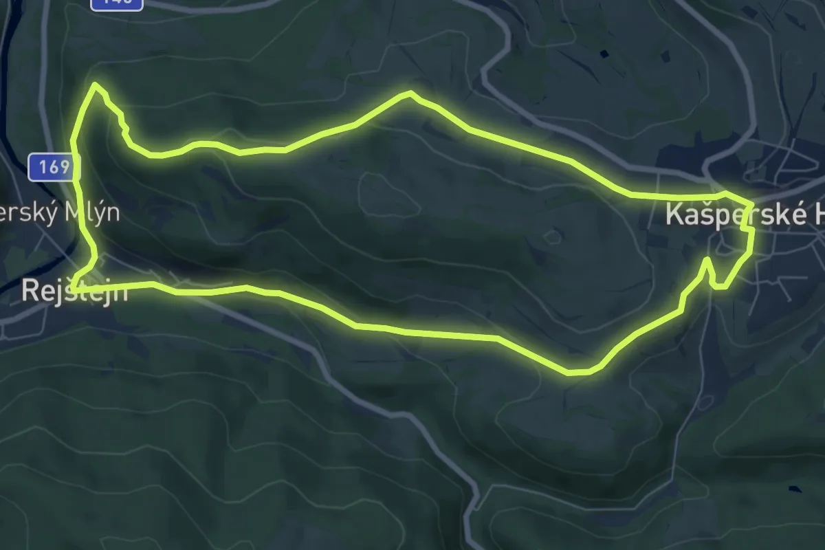
Easy · Trail
Vlastivědný okruh
7.7 km · ↑ 242 m · 2 h 27 min
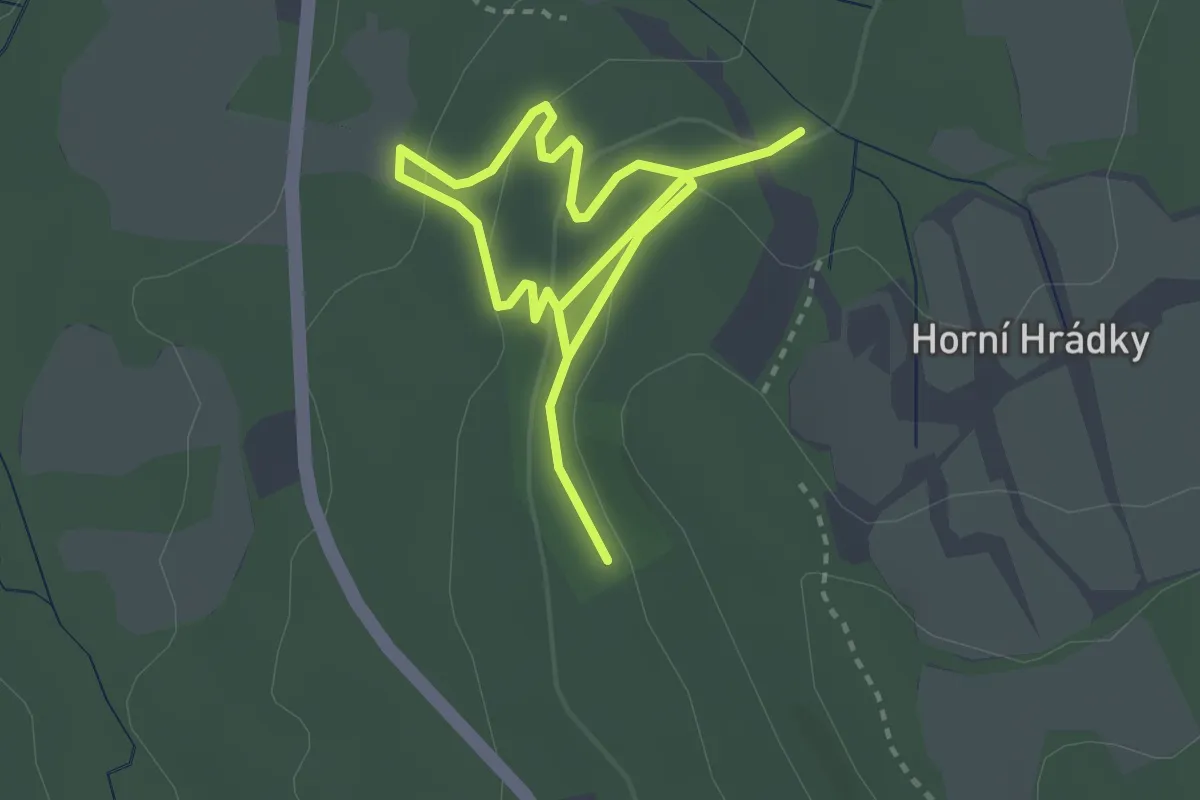
Easy · Trail
Vlčí stezka
4.2 km · ↑ 209 m · 1 h 26 min
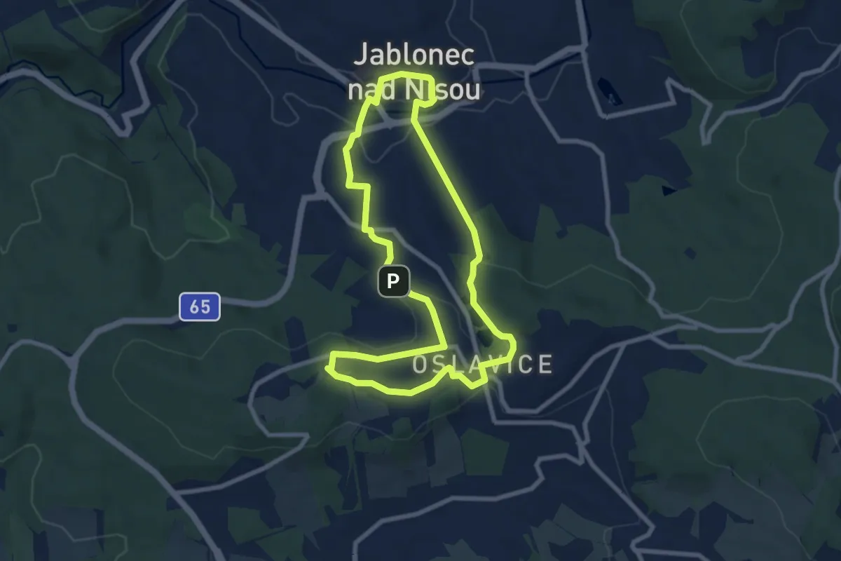
Easy · Trail
Vnitřní turistický okruh Jablonec nad Nisou
6.7 km · ↑ 155 m · 2 h 1 min
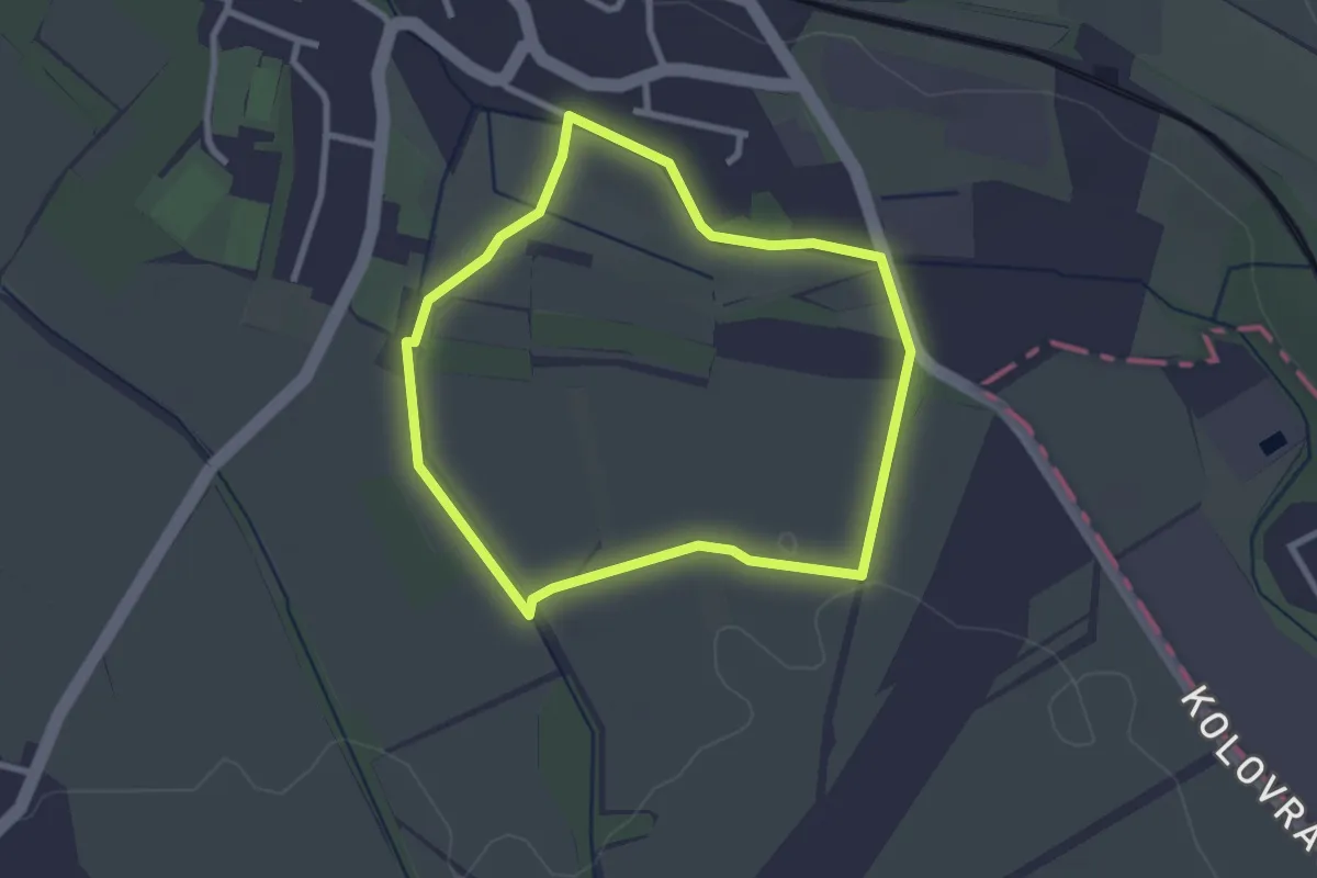
Easy · Trail
Voděradský okruh
2.3 km · ↑ 9 m · 36 min
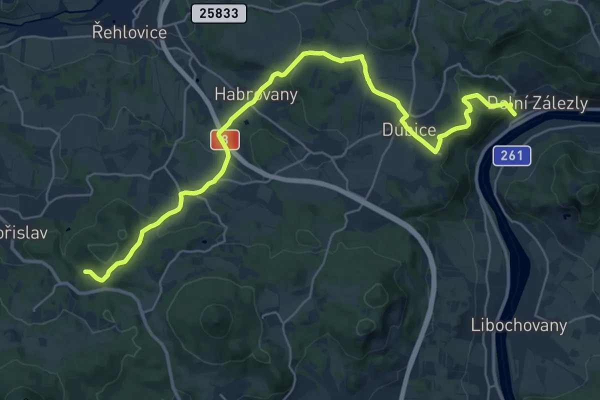
Demanding · Trail
Vodobraní
21.5 km · ↑ 715 m · 6 h 38 min
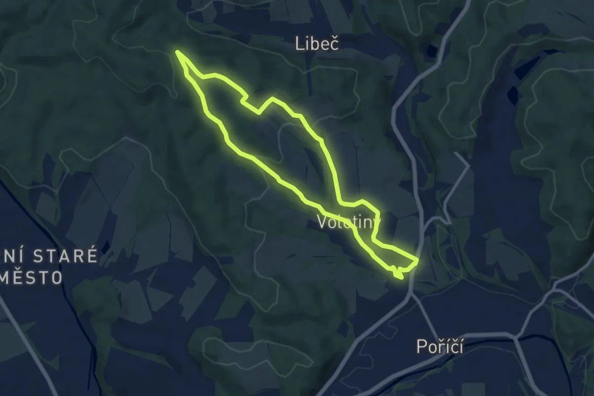
Easy · Trail
Voletinský okruh 8,4 km
7.4 km · ↑ 186 m · 2 h 16 min
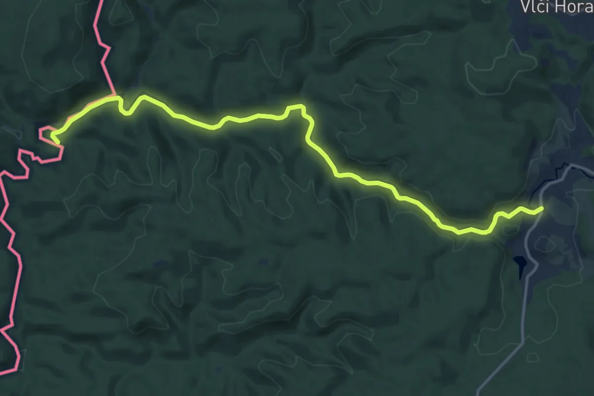
Medium · Trail
Vozíčkářská trasa národního parku
12.7 km · ↑ 259 m · 3 h 34 min
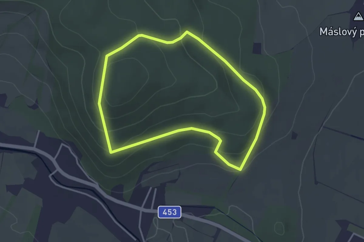
Easy · Trail
Vycházková stezka Dubí
2.9 km · ↑ 112 m · 59 min
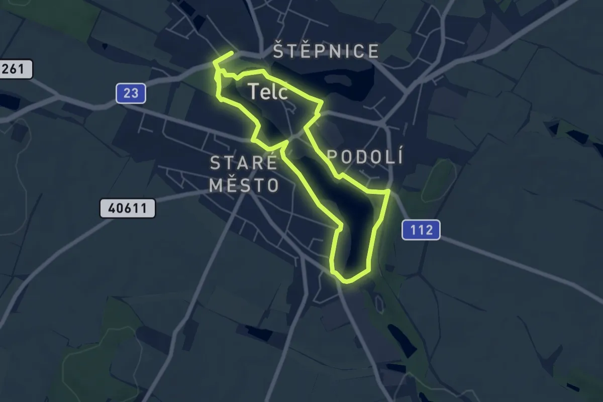
Medium · Trail
Vycházková trasa Město a voda
9.2 km · ↑ 61 m · 2 h 18 min
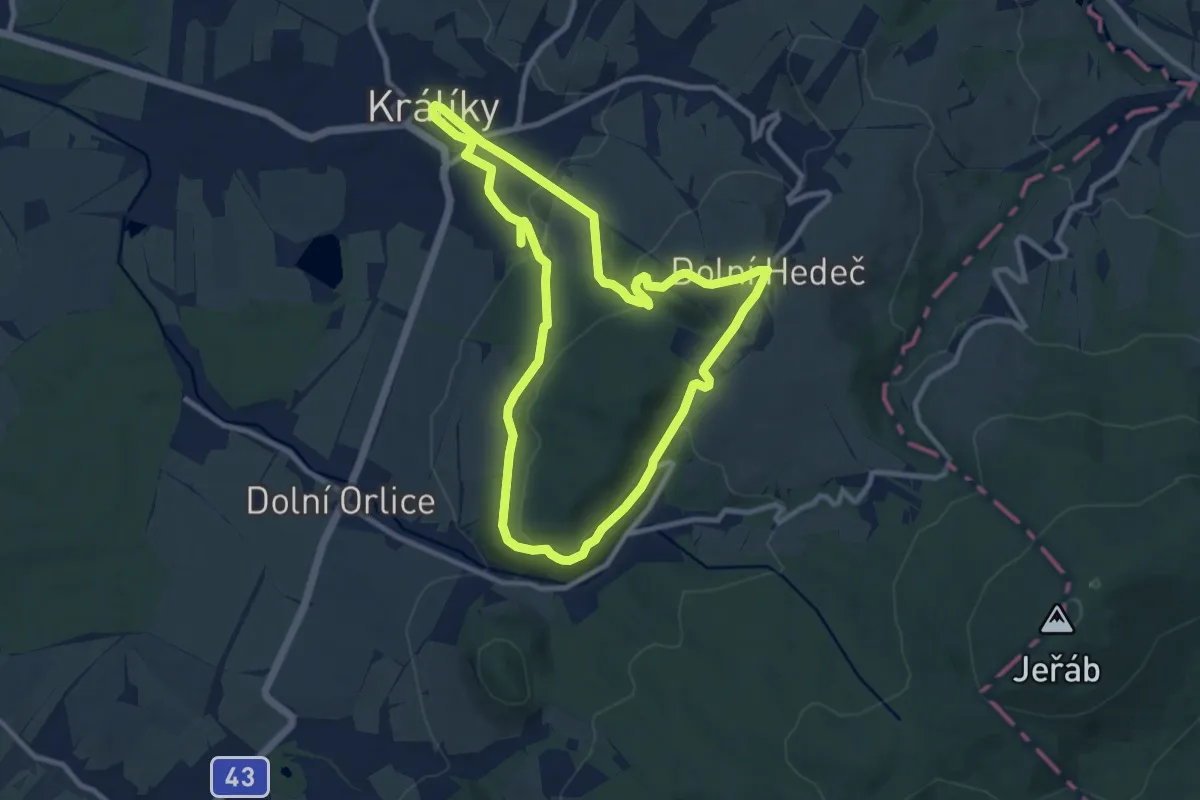
Medium · Summit
vycházkový okruh Hraběcí stezka
8.8 km · ↑ 221 m · 2 h 41 min
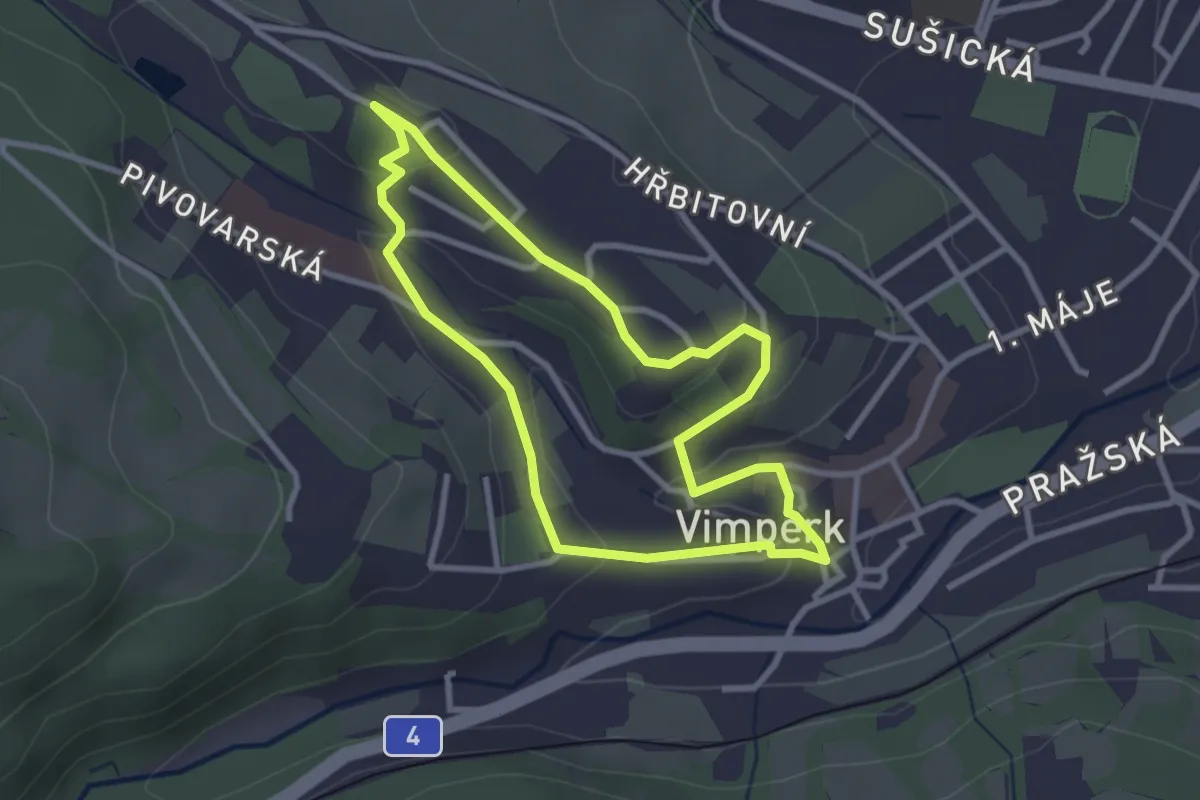
Easy · Trail
Vycházkový okruh Vimperkem
2.6 km · ↑ 64 m · 48 min
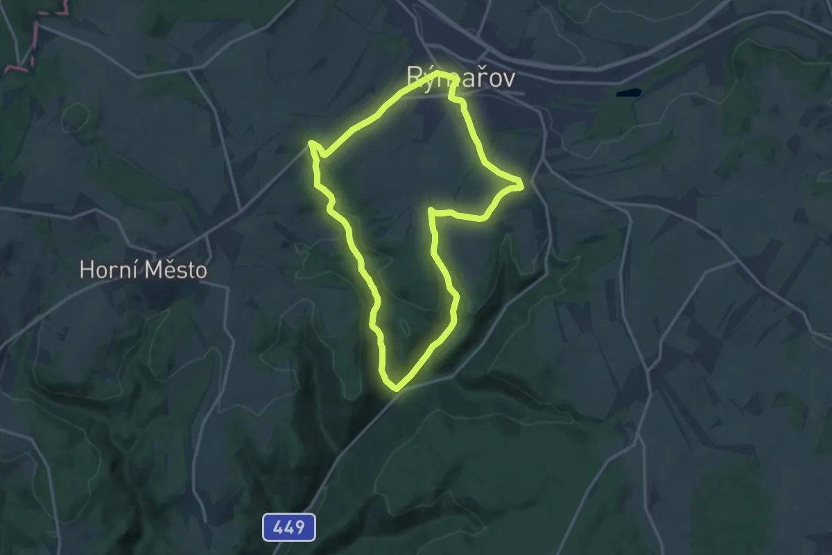
Medium · Trail
Vychodilova stezka
12.5 km · ↑ 259 m · 3 h 42 min
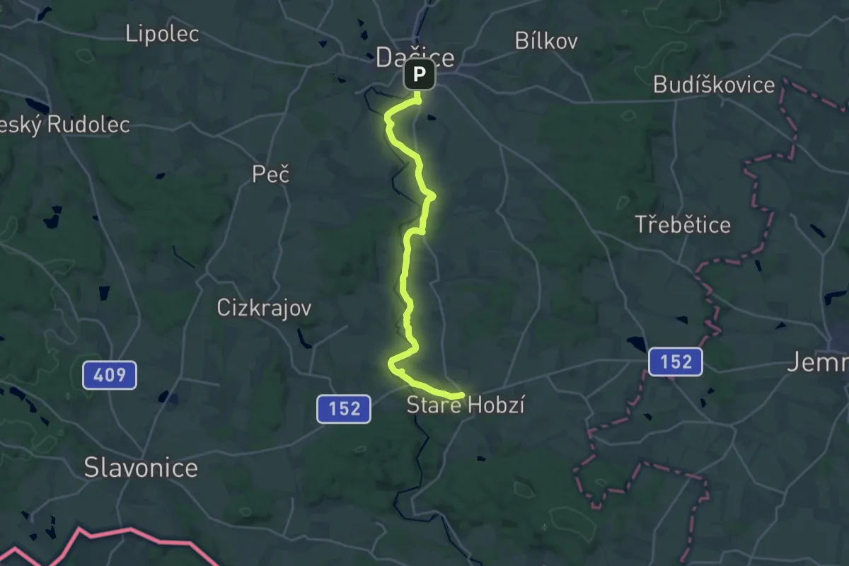
Demanding · Trail
Vydří stezka
21.2 km · ↑ 228 m · 5 h 29 min
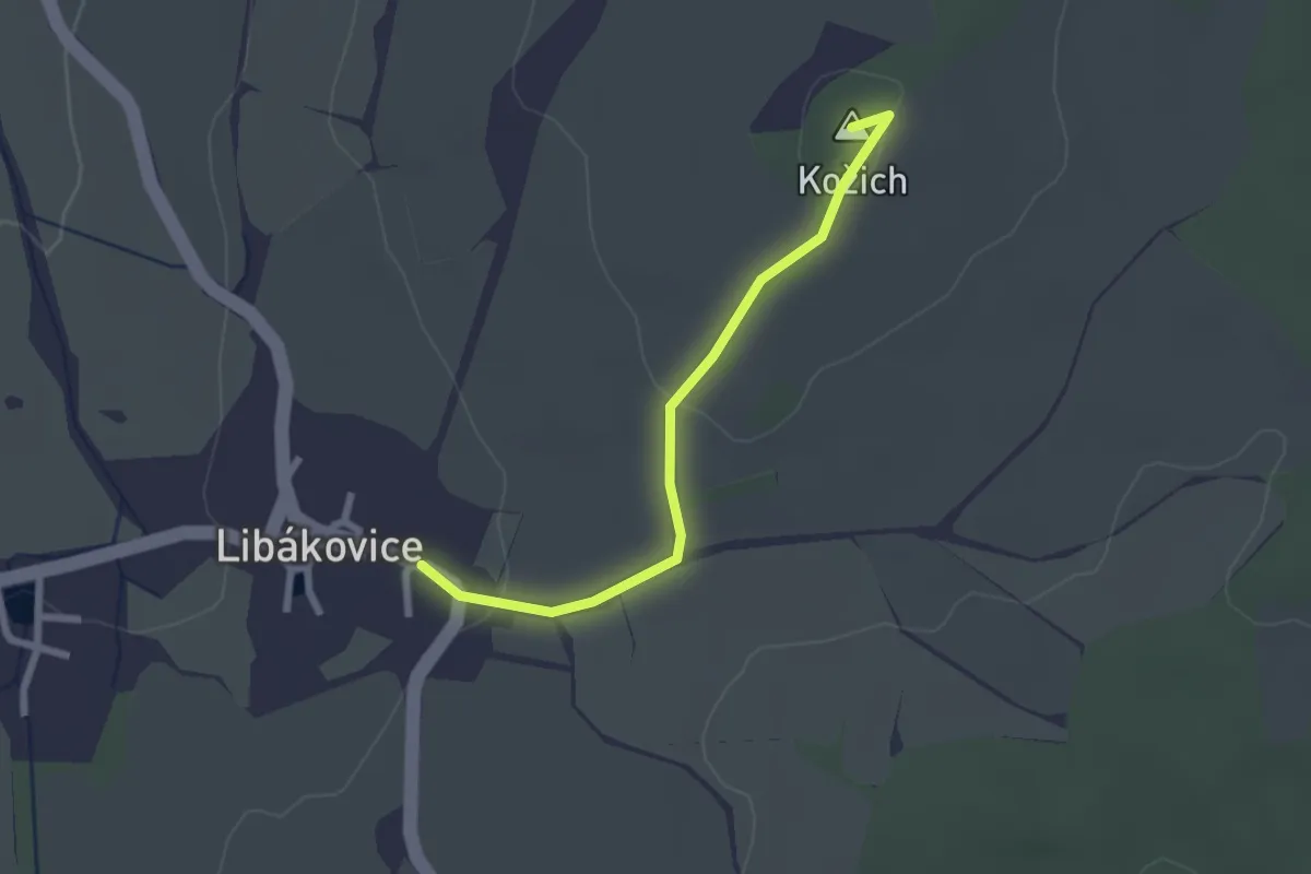
Easy · Summit
vyhlídka Kožich
2.1 km · ↑ 48 m · 37 min
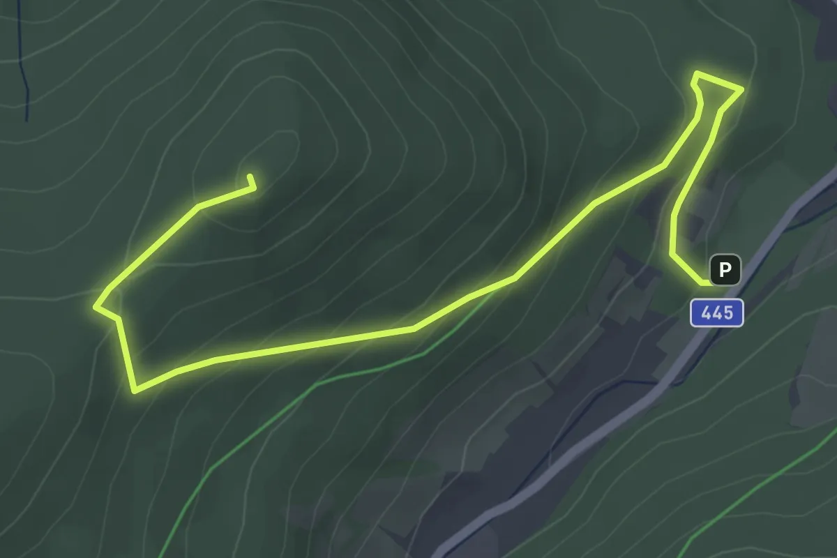
Easy · Summit
Vyhlídka na Zámecké hoře a zřícenina hradu Fürstenwalde
5.1 km · ↑ 250 m · 1 h 45 min
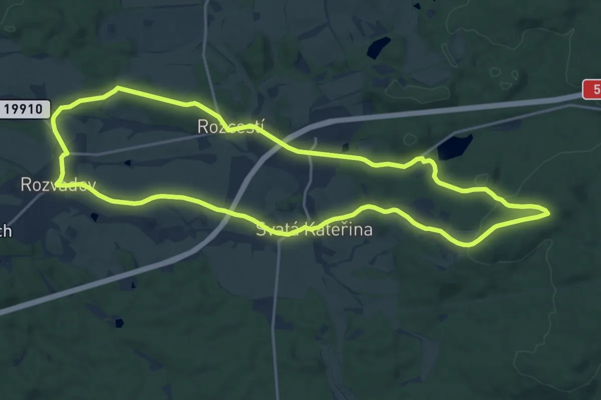
Medium · Trail
Vyhlídková naučná stezka
13.5 km · ↑ 217 m · 3 h 51 min
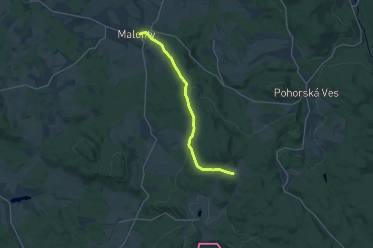
Medium · Trail
Vyhlídková NS Malonty
12.2 km · ↑ 234 m · 3 h 23 min
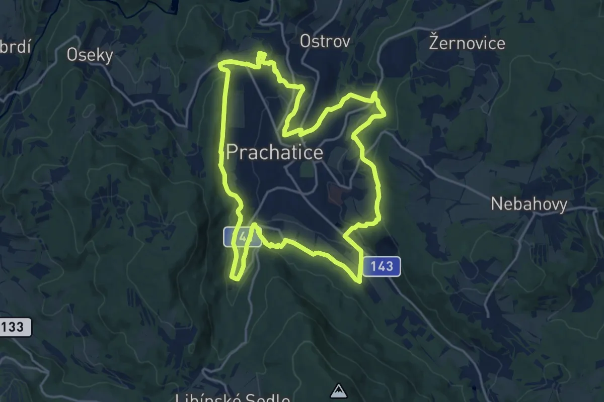
Medium · Trail
Vyhlídková stezka kolem Prachatic
15.6 km · ↑ 487 m · 4 h 58 min
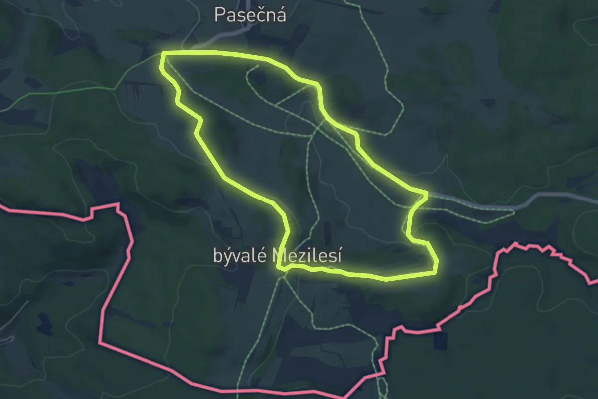
Easy · Summit
Vyhlídková trasa
5.3 km · ↑ 75 m · 1 h 29 min
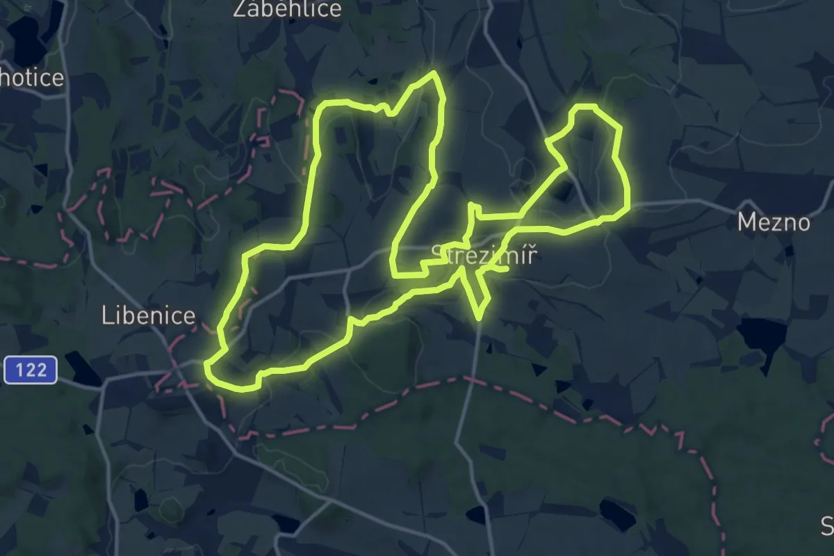
Medium · Trail
Vyhlídková trasa Střezimíř
15.1 km · ↑ 279 m · 4 h 22 min
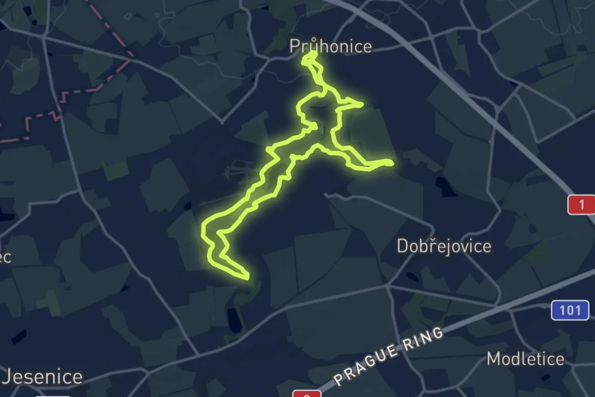
Medium · Trail
Vyhlídkový okruh
10.3 km · ↑ 127 m · 2 h 51 min
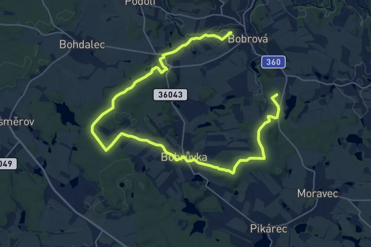
Demanding · Summit
Výletní naučná stezka Okolím Bobrové (zelená)
25.9 km · ↑ 393 m · 6 h 58 min
Medium · Summit
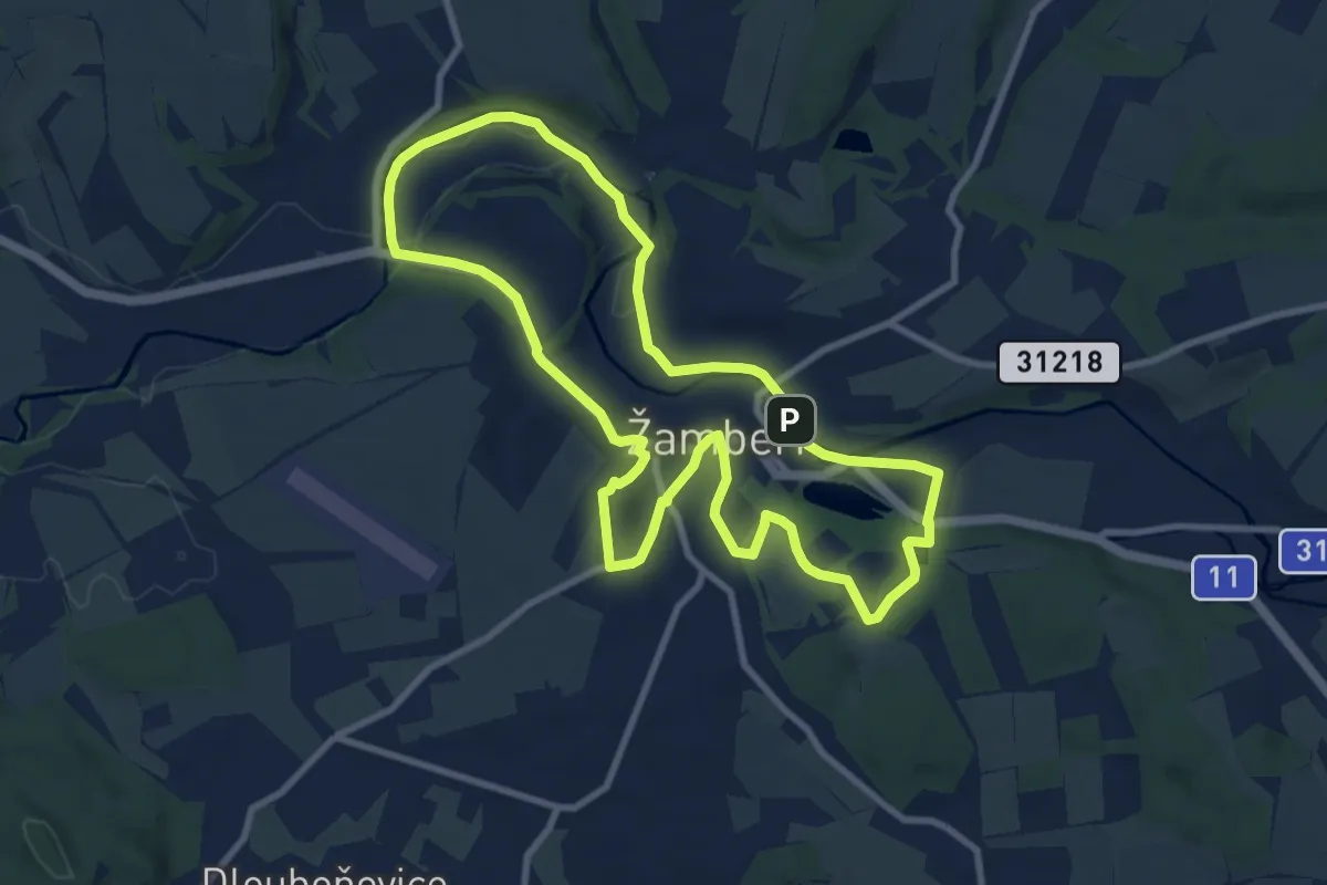
Výletní okruh městem
8.8 km · ↑ 118 m · 2 h 28 min
Easy · Trail
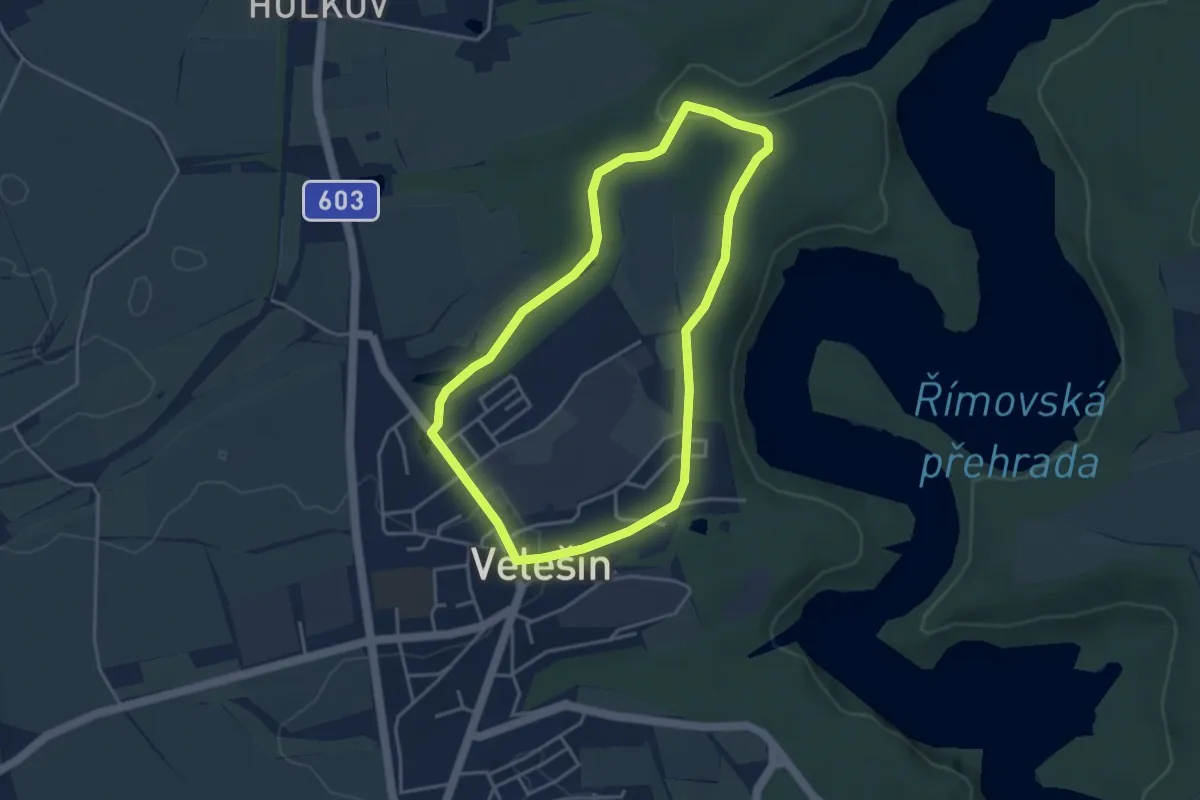
Vývoj opevnění v lokalitě Strahov
3.6 km · ↑ 55 m · 1 h 1 min
Easy · Trail
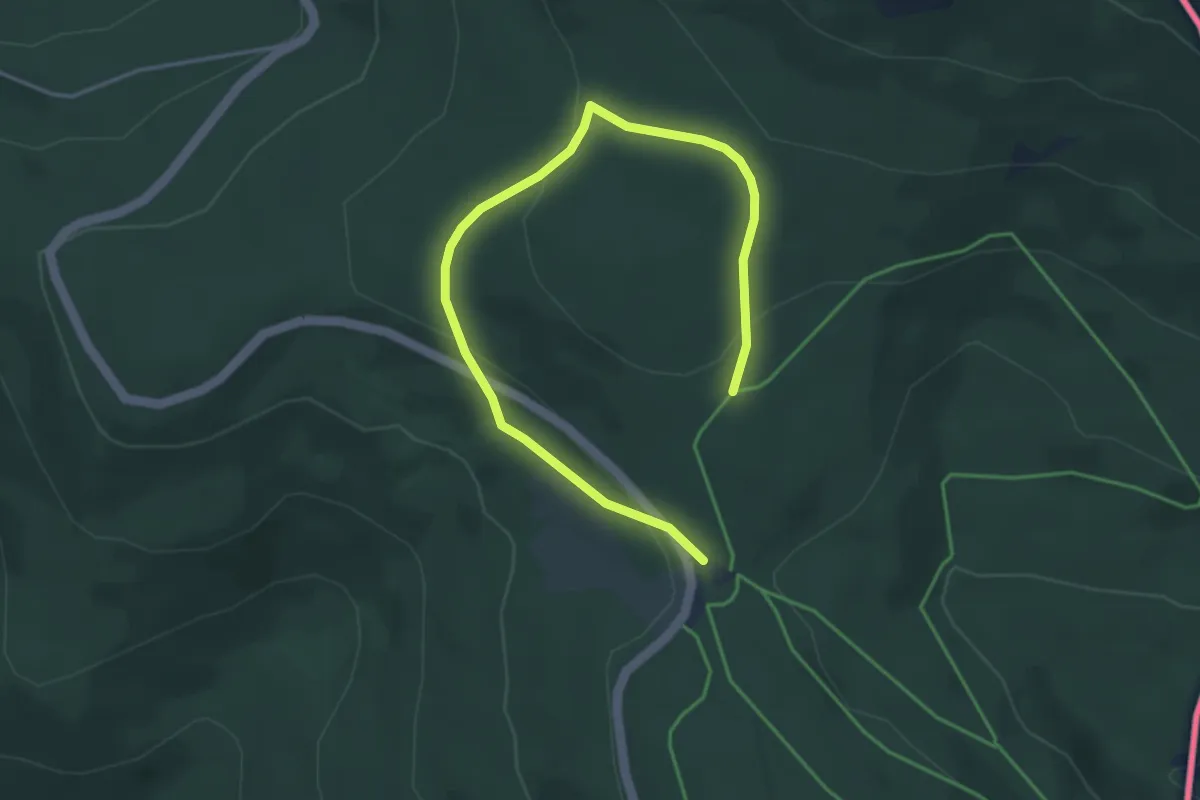
W1 (Lohberg, Winterwanderweg)
4.6 km · ↑ 177 m · 1 h 29 min
Easy · Summit
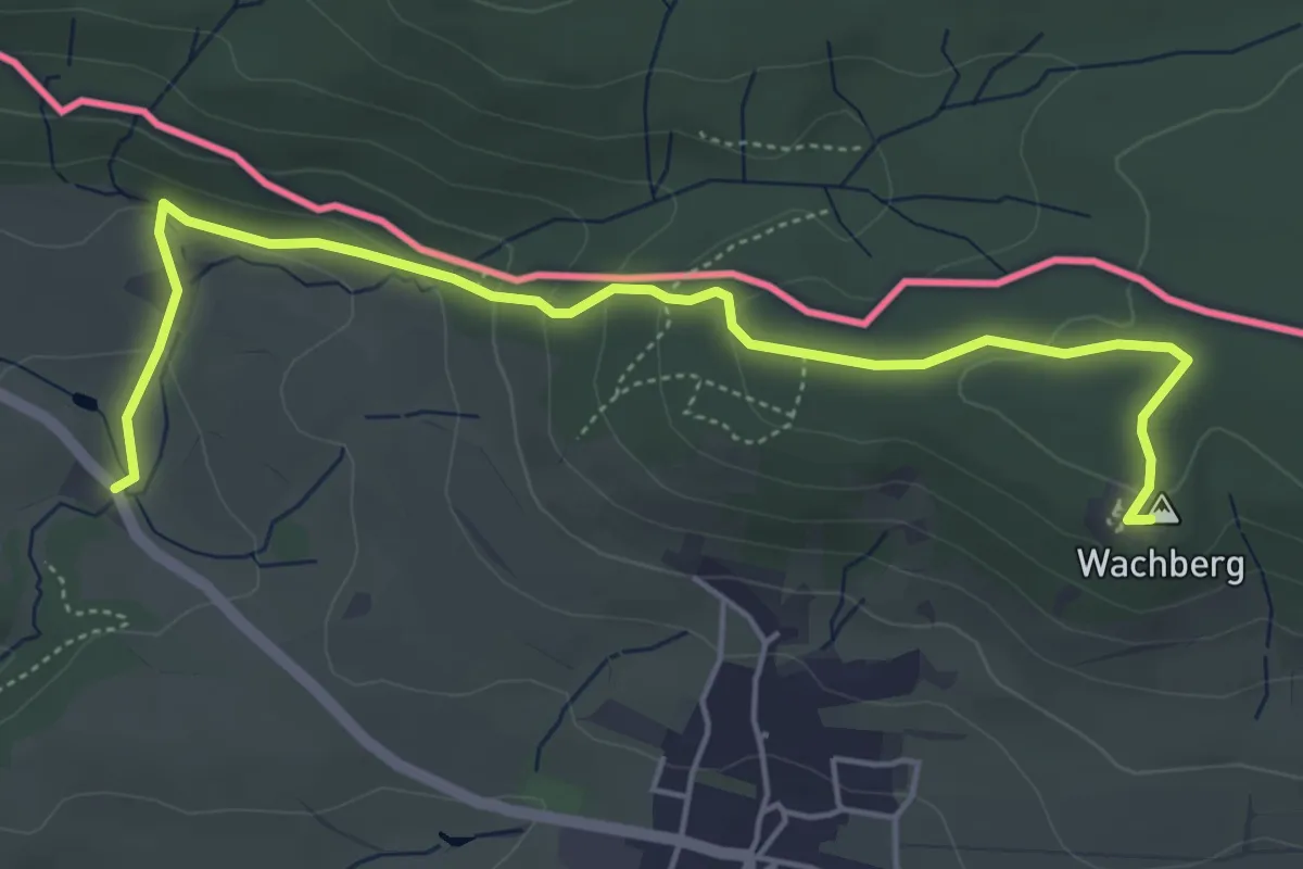
Wachberg - Schrammsteinaussicht
5.1 km · ↑ 186 m · 1 h 37 min
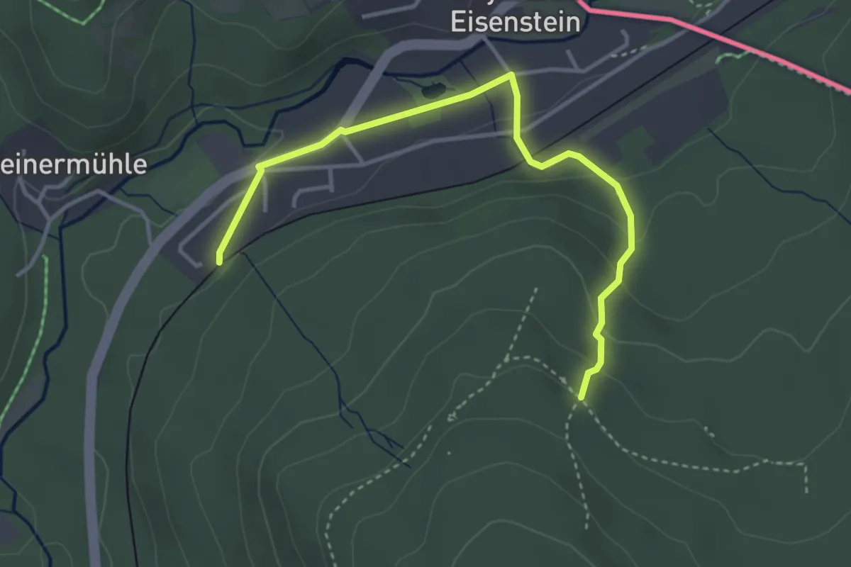
Easy · Trail
Waldmaus
1.8 km · ↑ 9 m · 32 min
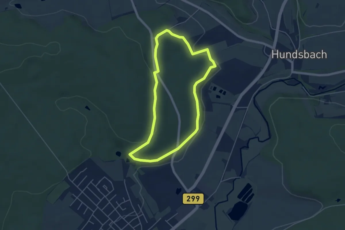
Easy · Trail
Waldsassener Rundwanderweg 2 - Zur Köllergrün
4.1 km · ↑ 70 m · 1 h 10 min
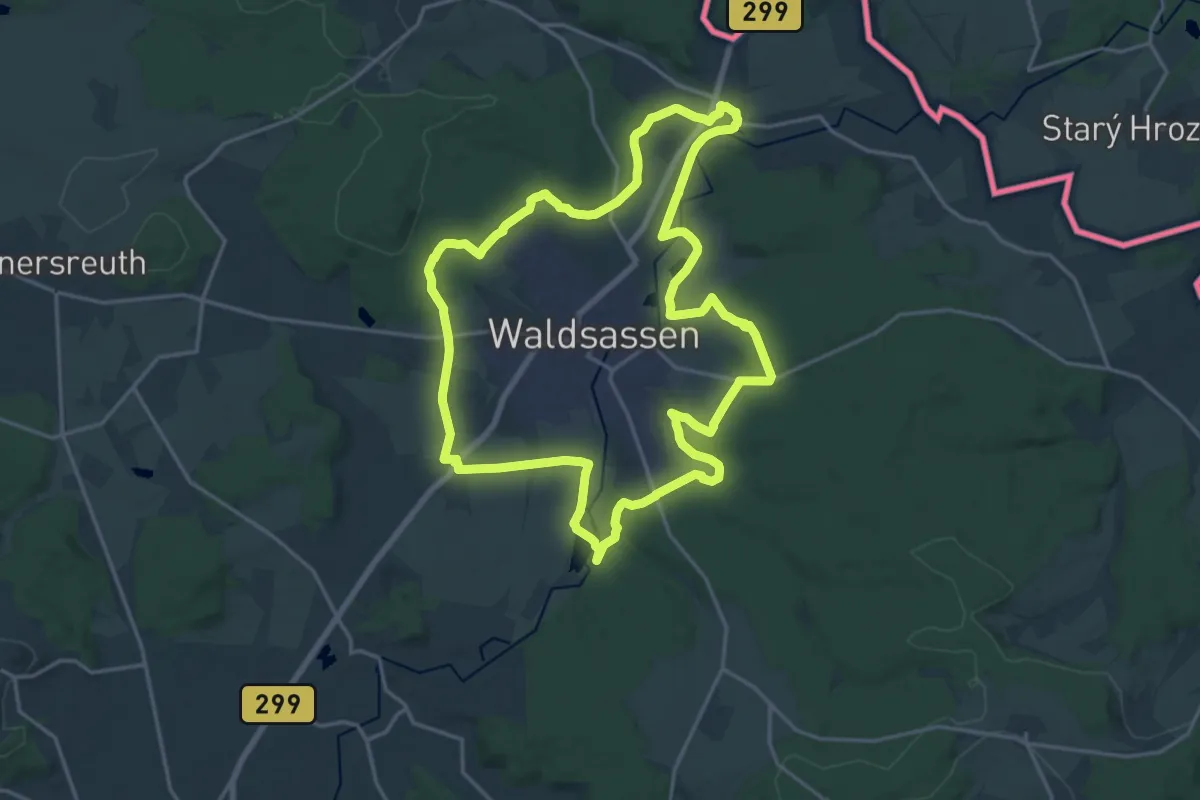
Demanding · Trail
Waldsassener Rundwanderweg 3 - Rund um Waldsassen
18.6 km · ↑ 245 m · 5 h 10 min
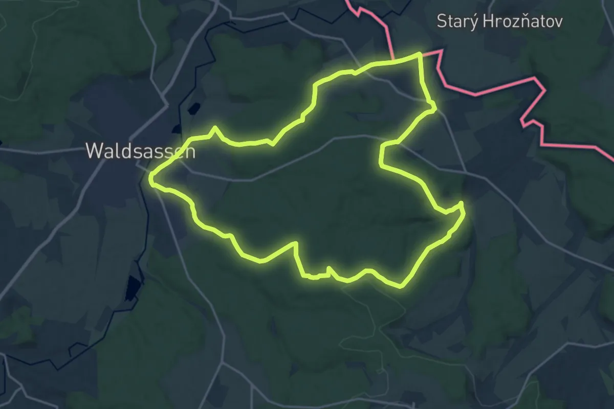
Medium · Trail
Waldsassener Rundwanderweg 6 - Zur Pfudermühle und nach Hatzenreuth
17.4 km · ↑ 287 m · 4 h 59 min
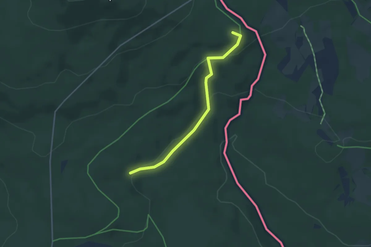
Easy · Summit
Wanderroute Via Nova
1.5 km · ↑ 77 m · 30 min
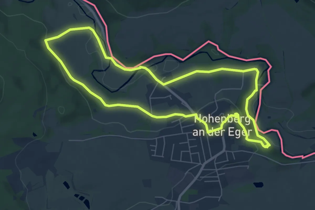
Easy · Trail
Wanderweg 1 Hohenberg a.d. Eger
6.0 km · ↑ 120 m · 1 h 46 min
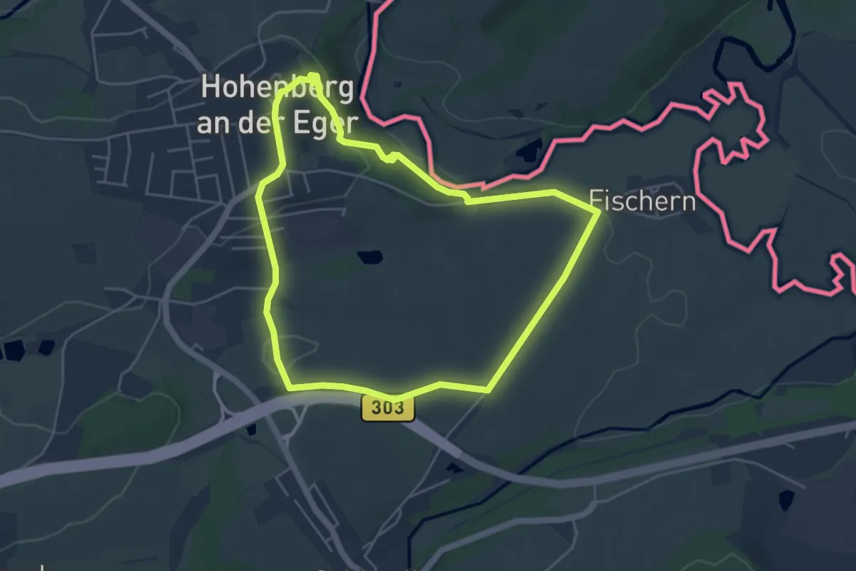
Easy · Trail
Wanderweg 2 Hohenberg a.d. Eger
4.2 km · ↑ 84 m · 1 h 14 min
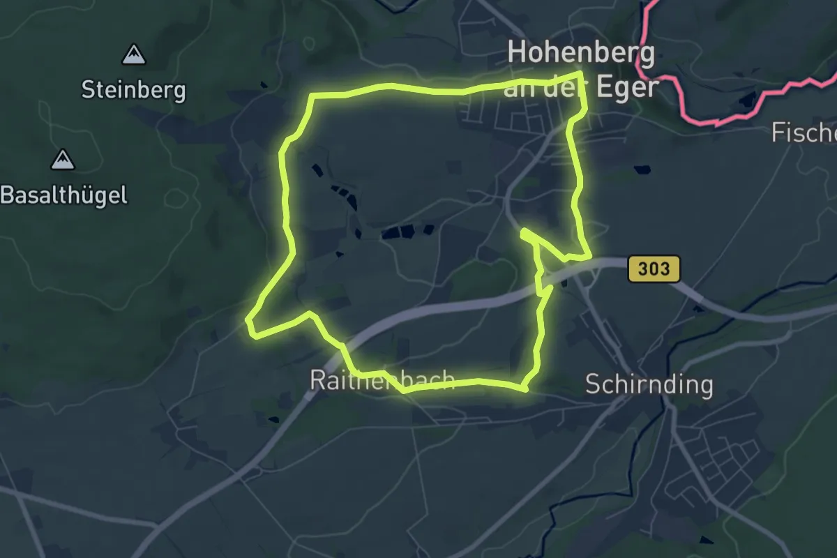
Easy · Trail
Wanderweg 4 Hohenberg a.d. Eger
7.3 km · ↑ 100 m · 2 h 2 min
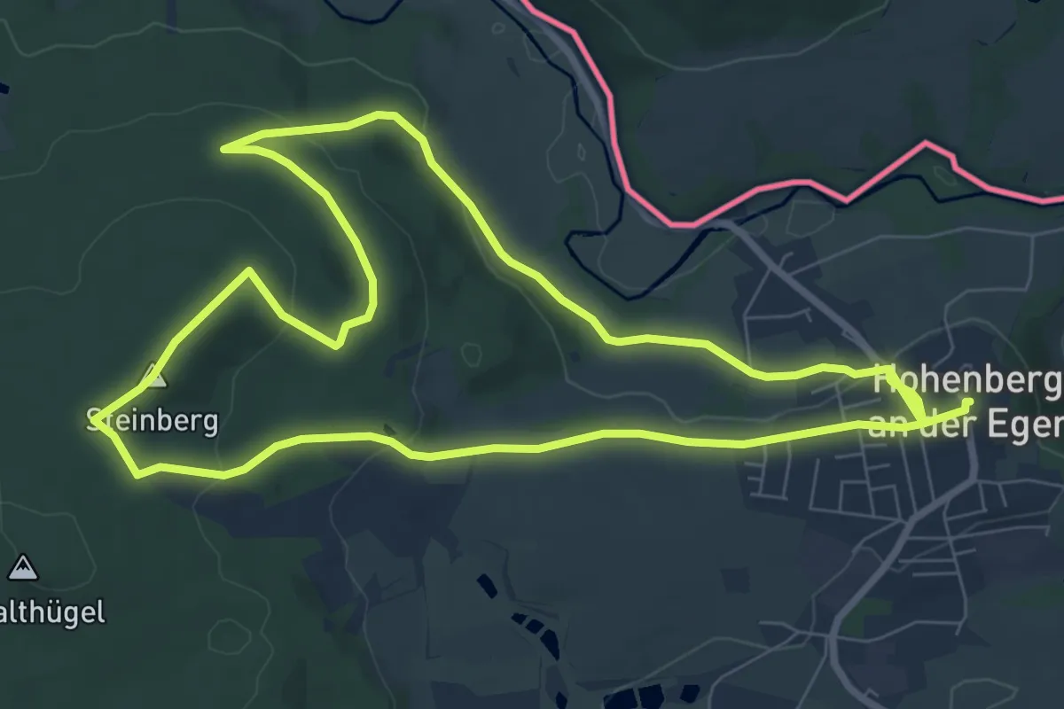
Easy · Summit
Wanderweg 6 Hohenberg a.d. Eger
7.5 km · ↑ 178 m · 2 h 17 min
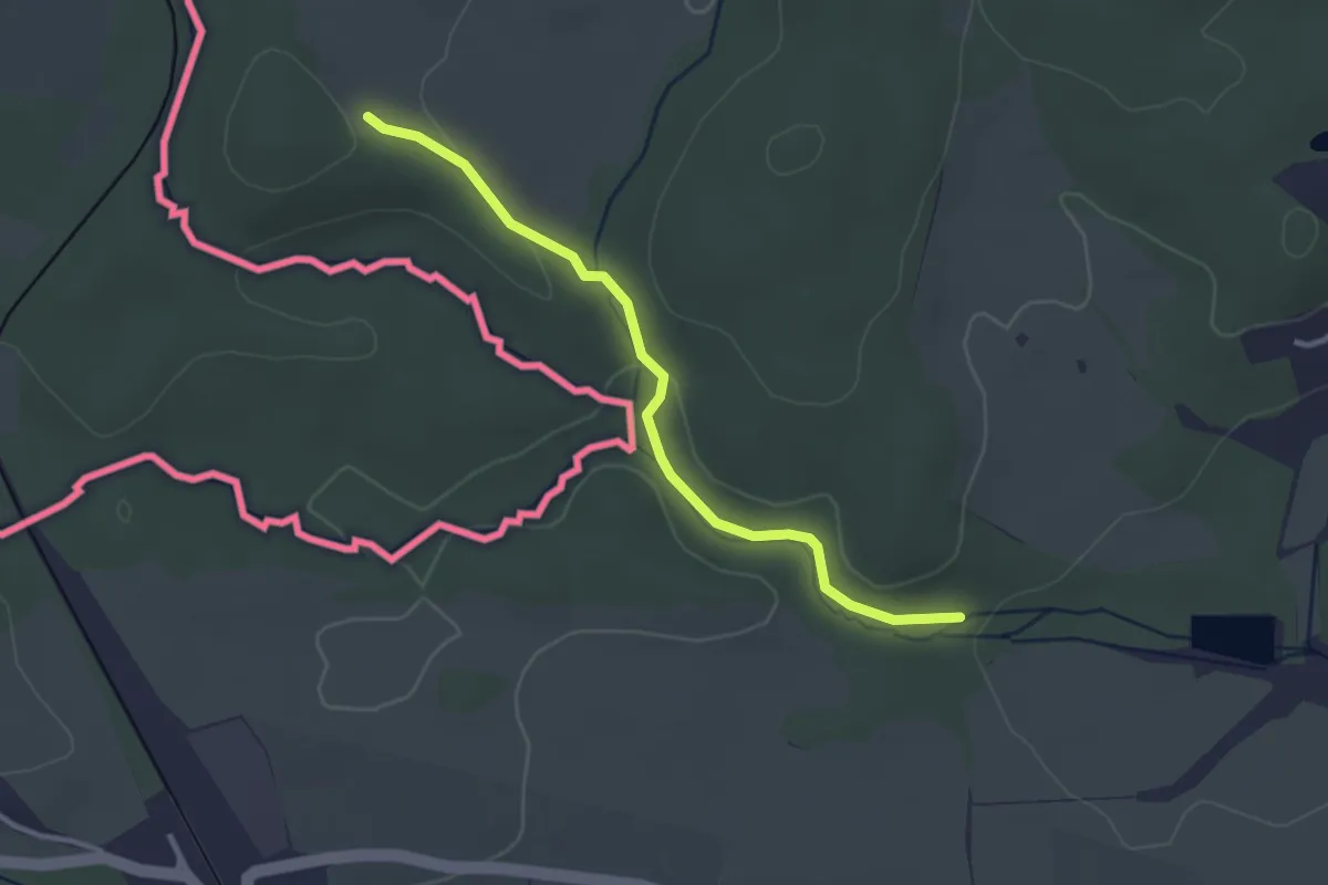
Easy · Trail
Wanderweg blauer Strich
2.8 km · ↑ 36 m · 44 min
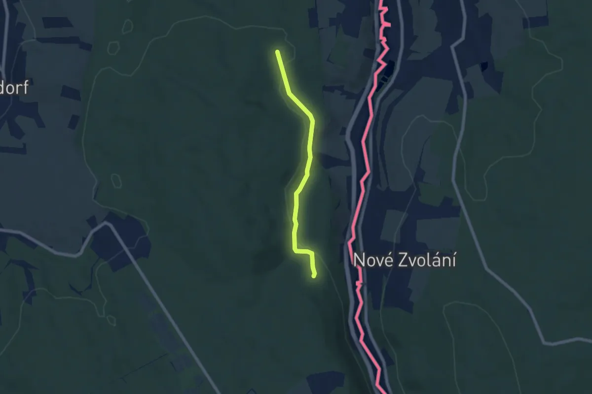
Easy · Trail
Wanderweg gruen-strich Baerenstein
4.6 km · ↑ 67 m · 1 h 14 min
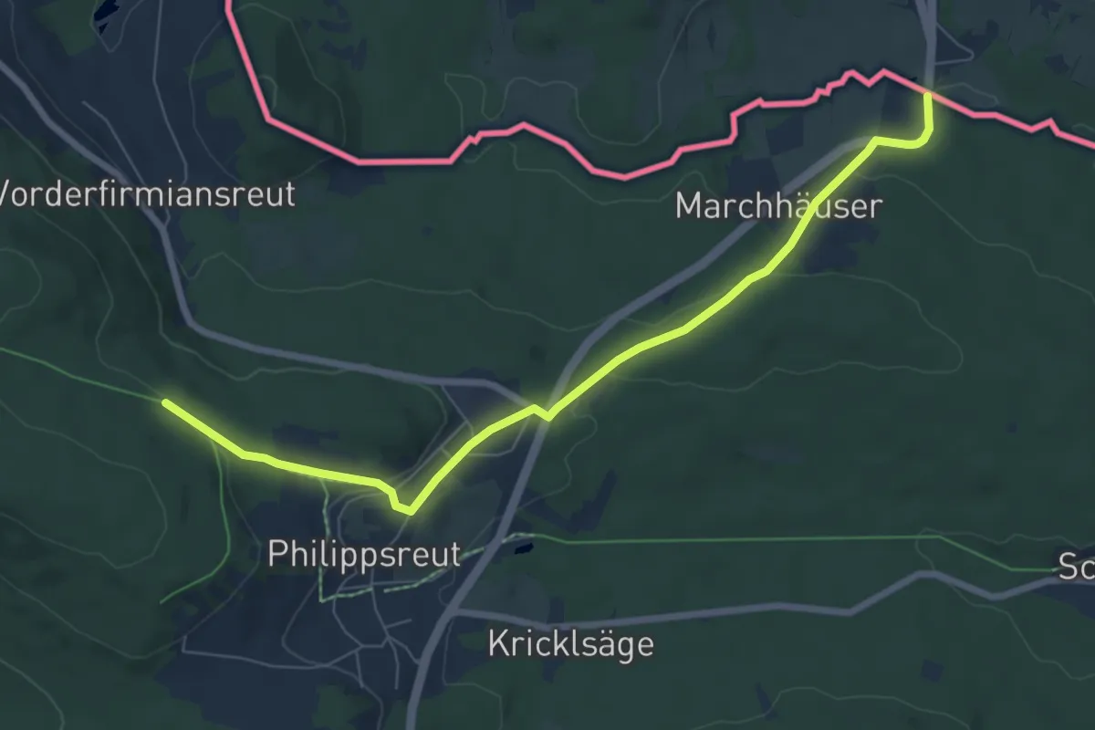
Easy · Trail
Wanderweg Nr. 6
7.2 km · ↑ 206 m · 2 h 9 min