Trails in Czech Republic
4,056 hiking trails, each with its route, climb, walking time and grade.
All trails, page 56 of 85
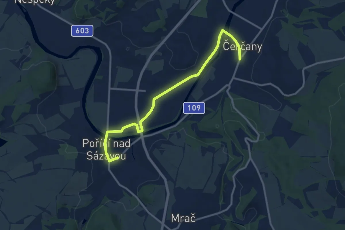
Easy · Trail
[Z] Čerčany - Poříčí n. S.
7.7 km · ↑ 49 m · 1 h 56 min
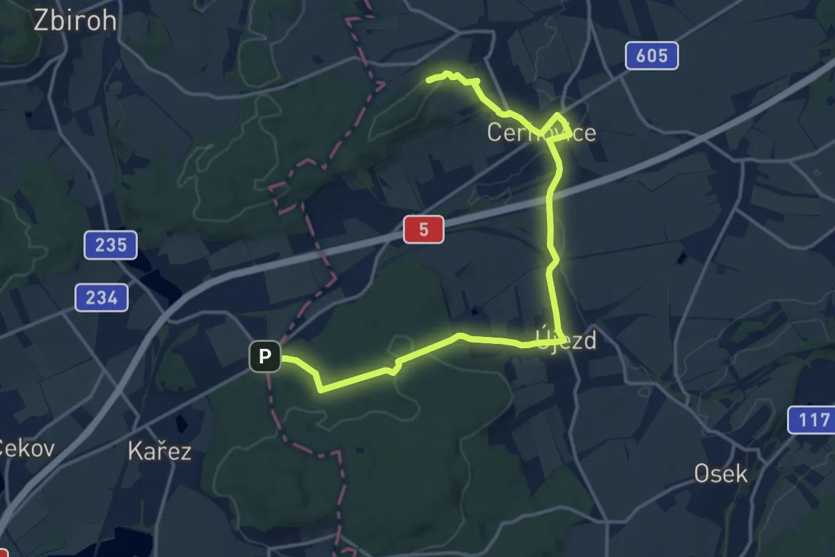
Medium · Summit
[Z] Cerhovice okružní trasa
14.9 km · ↑ 284 m · 4 h 8 min
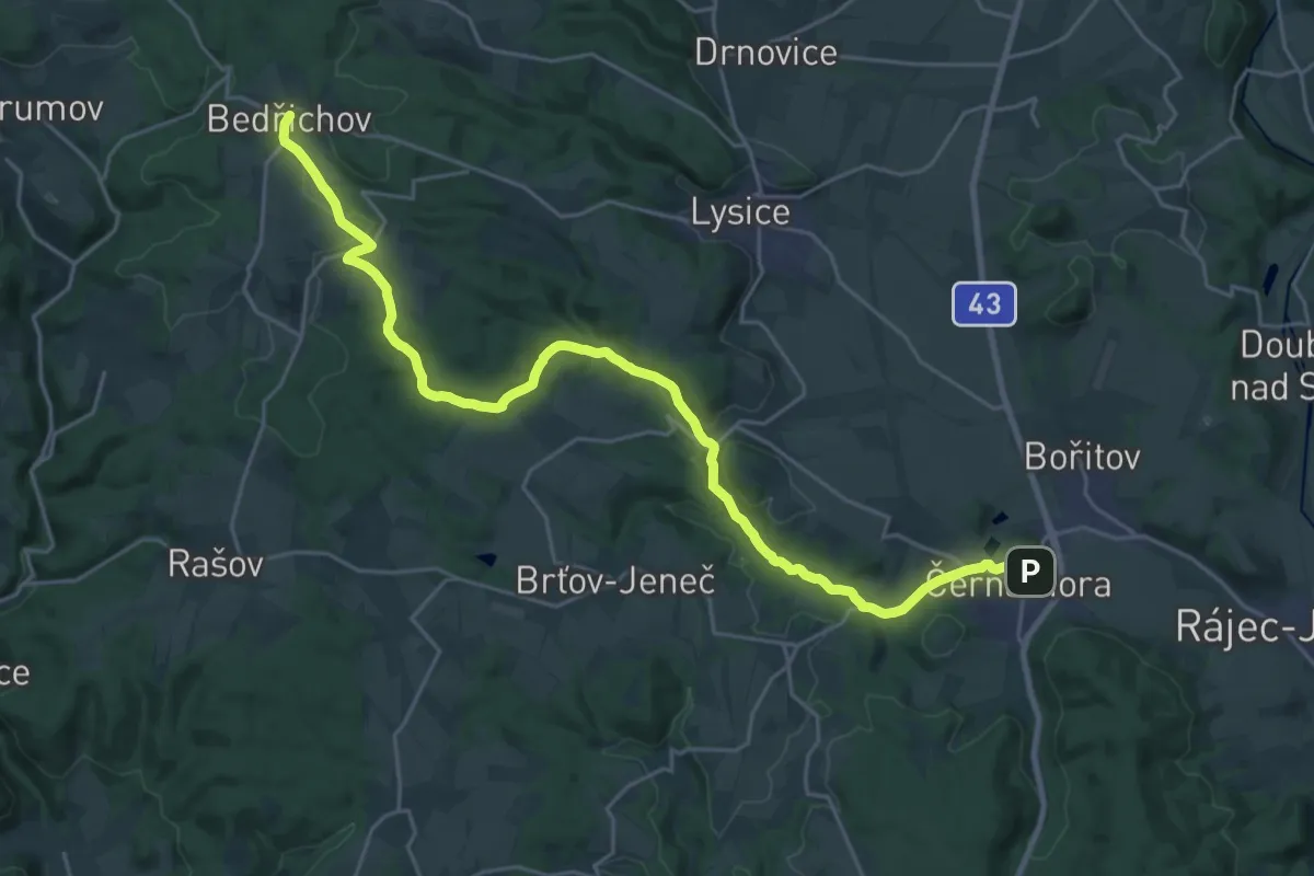
Demanding · Trail
[Ž] Černá Hora (bus) - Bedřichov
26.7 km · ↑ 448 m · 7 h 16 min
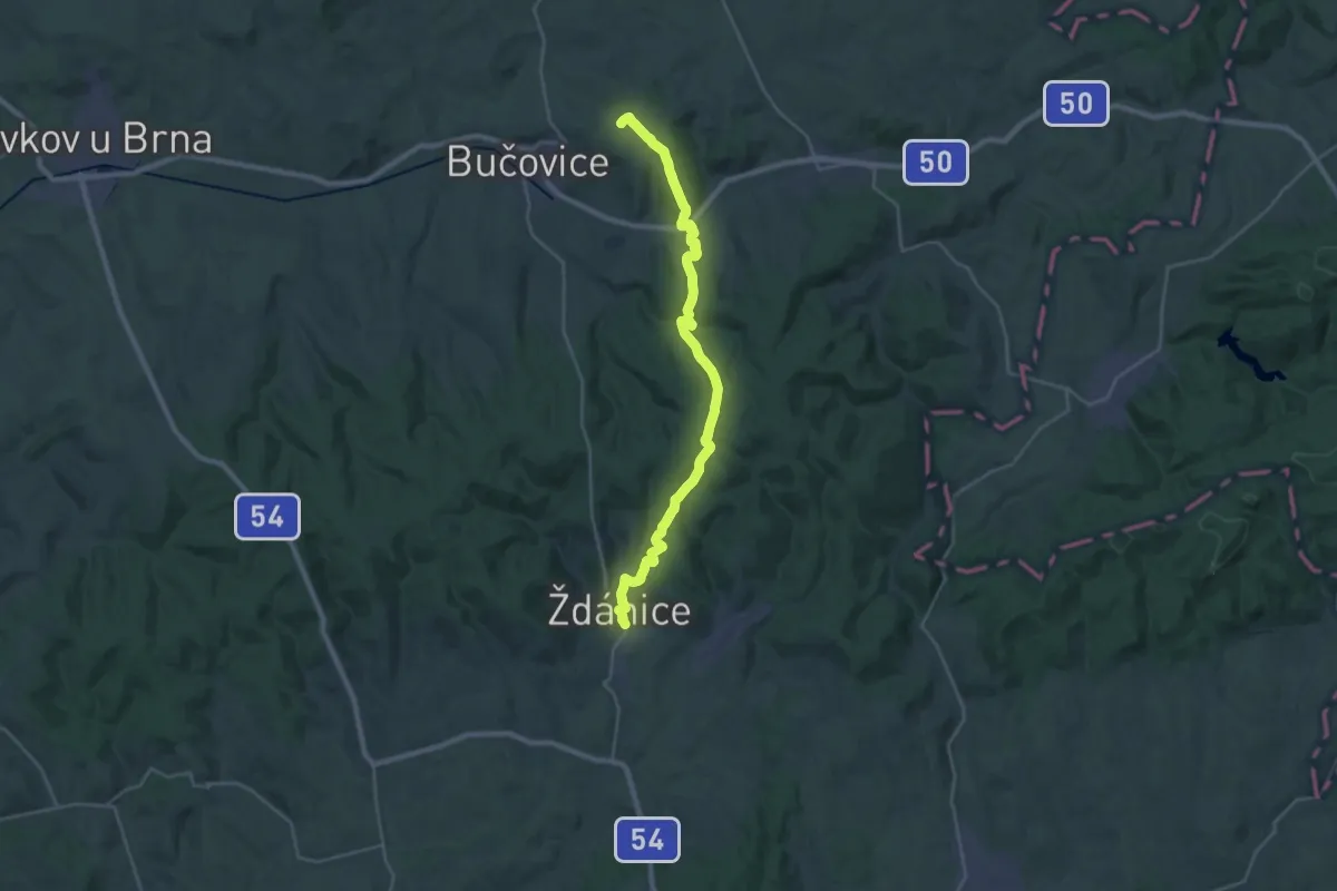
Medium · Trail
[Ž] Černčín - Bučovice
13.4 km · ↑ 460 m · 4 h 19 min
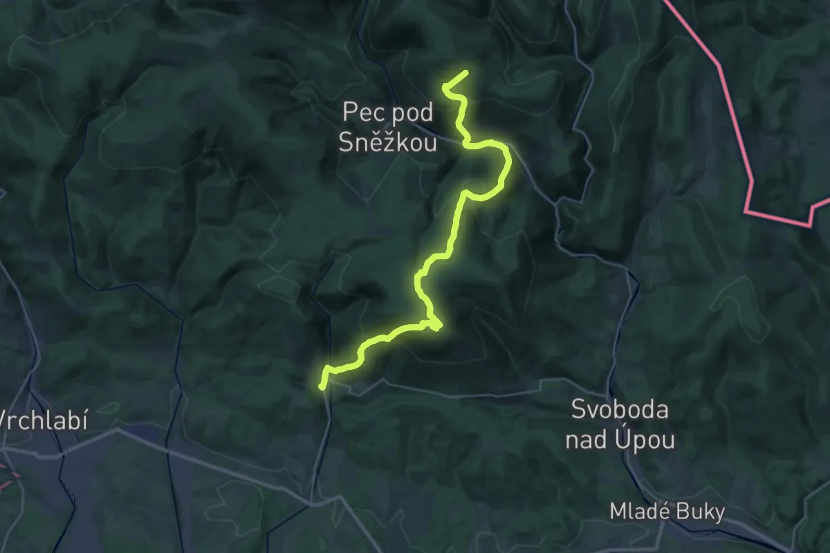
Demanding · Trail
[Ž] Černý Důl - Nad Portášovými boudami
14.0 km · ↑ 1153 m · 5 h 43 min
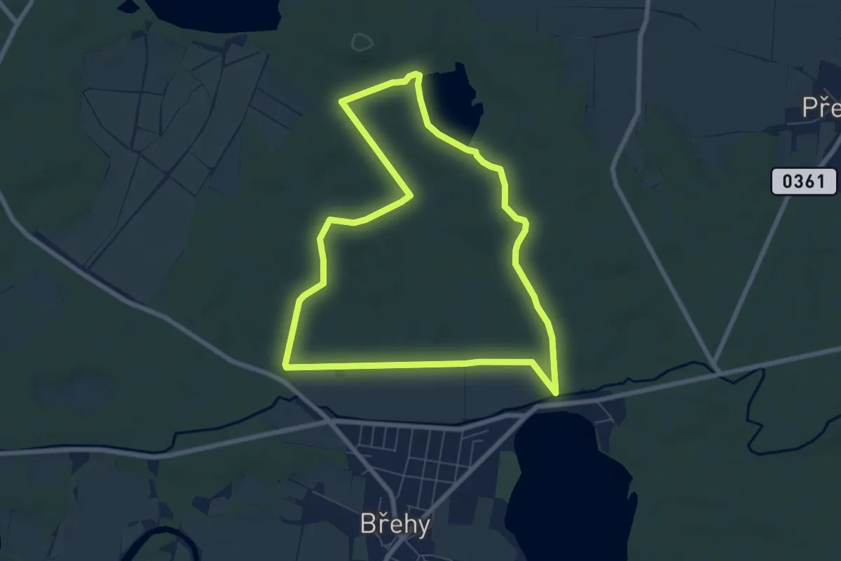
Easy · Trail
[Ž] Černý Nadýmač - okruh
6.5 km · ↑ 36 m · 1 h 42 min
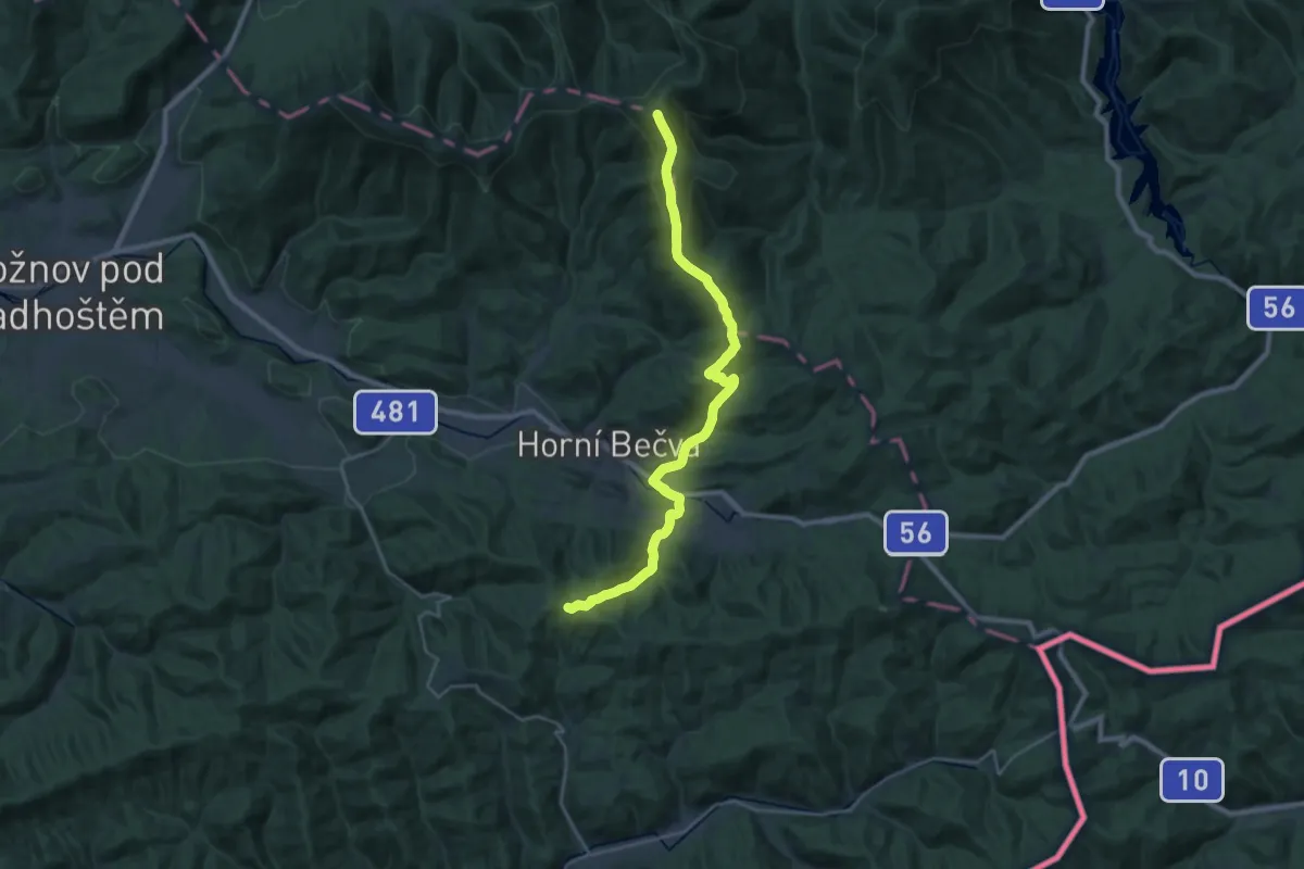
Demanding · Summit
[Z] Čertův Mlýn - Kotlová
26.6 km · ↑ 1034 m · 8 h 31 min
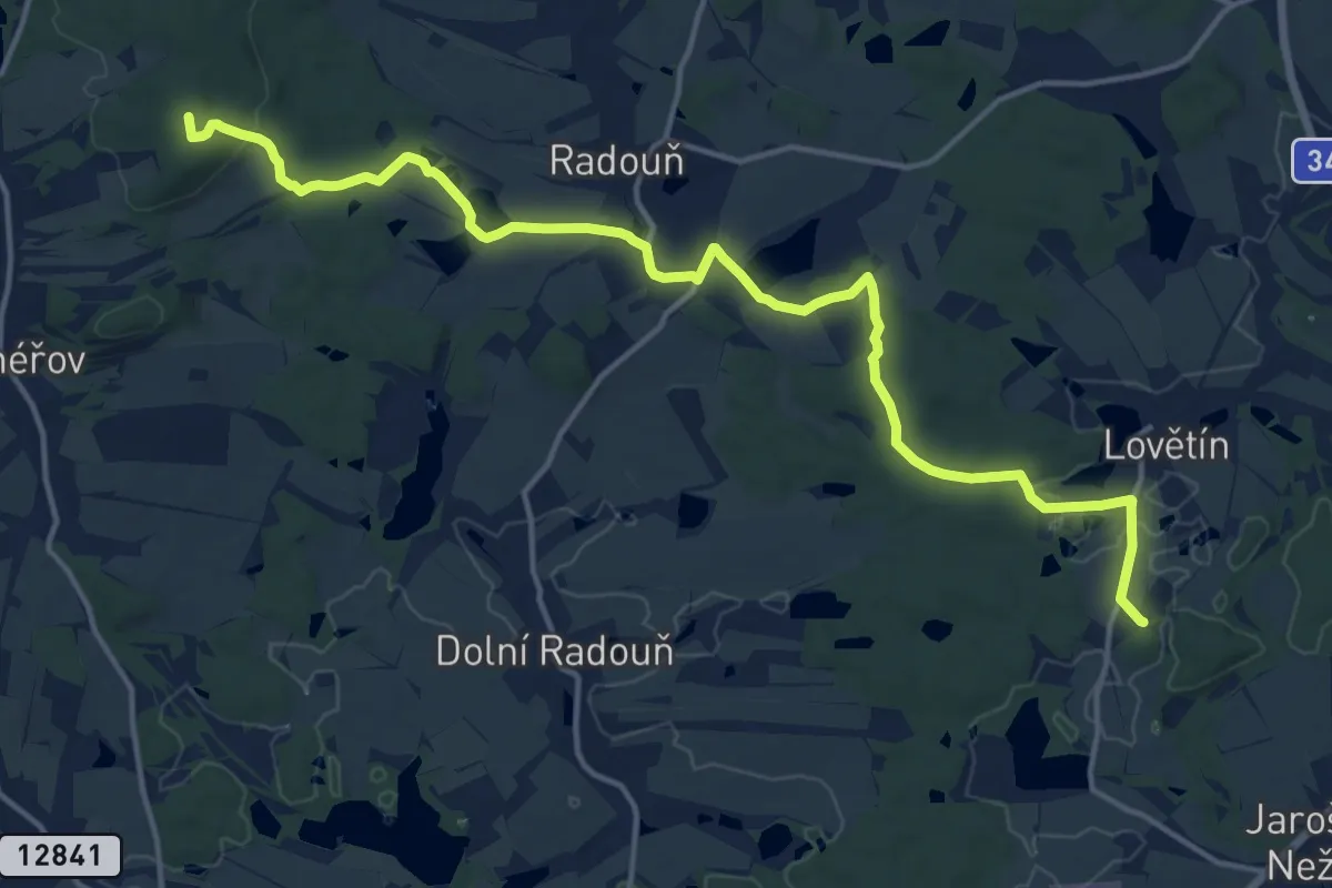
Medium · Summit
[Z] Červená Lhota - Lovětín (žst.)
16.8 km · ↑ 228 m · 4 h 28 min
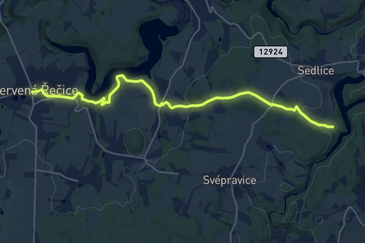
Medium · Trail
[Ž] Červená Řečice - Na vyhlídce
15.3 km · ↑ 281 m · 4 h 13 min
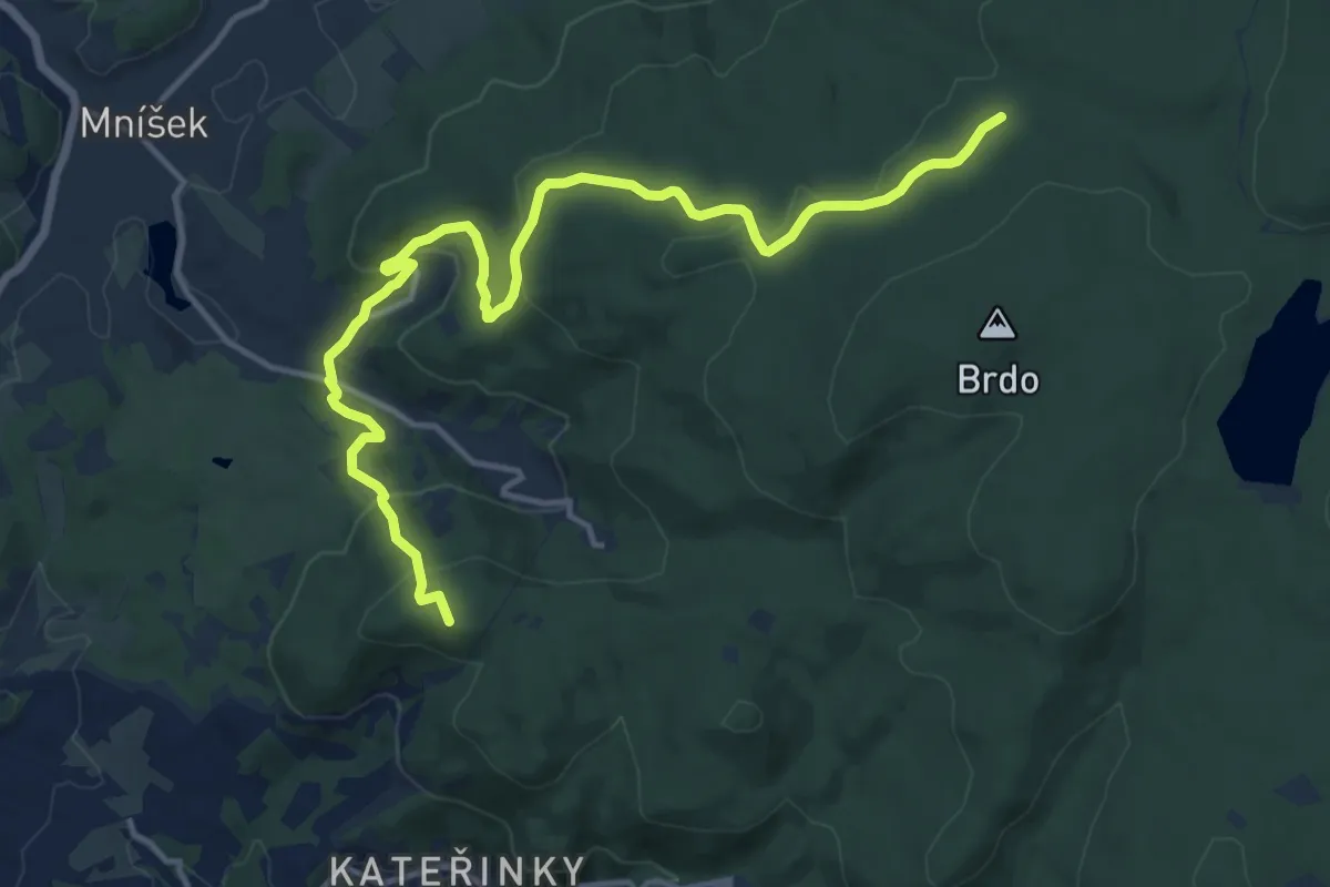
Medium · Summit
[Z] Červená Ruka - Chrastava náměstí
14.2 km · ↑ 550 m · 4 h 33 min
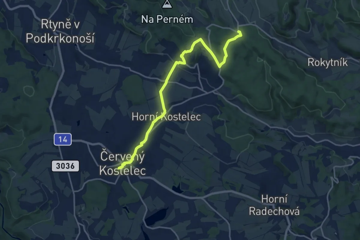
Medium · Trail
[Ž] Červený Kostelec - Nad Chlívci
12.7 km · ↑ 276 m · 3 h 36 min
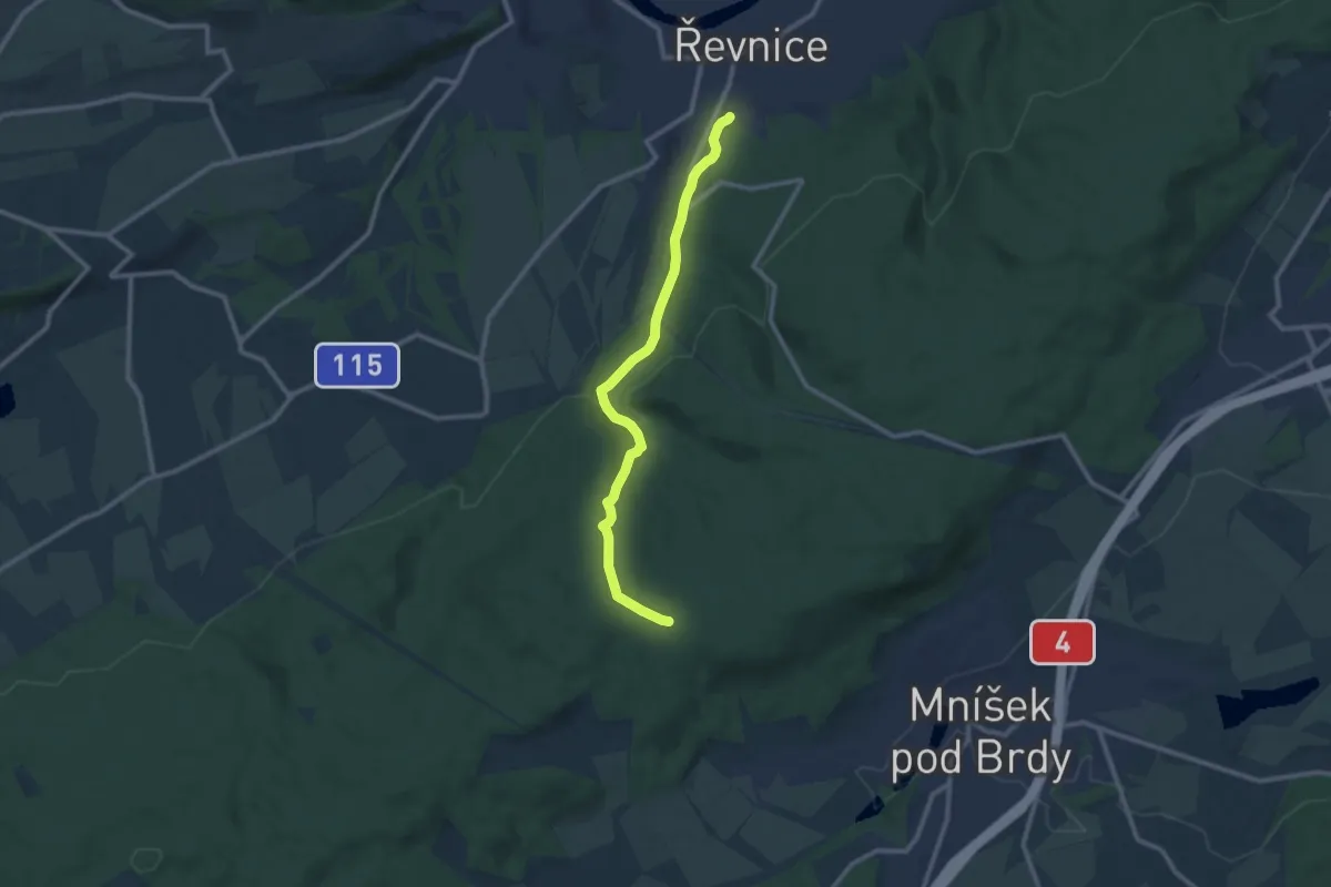
Medium · Trail
[Ž] Červený kříž - Řevnice
9.6 km · ↑ 314 m · 2 h 57 min
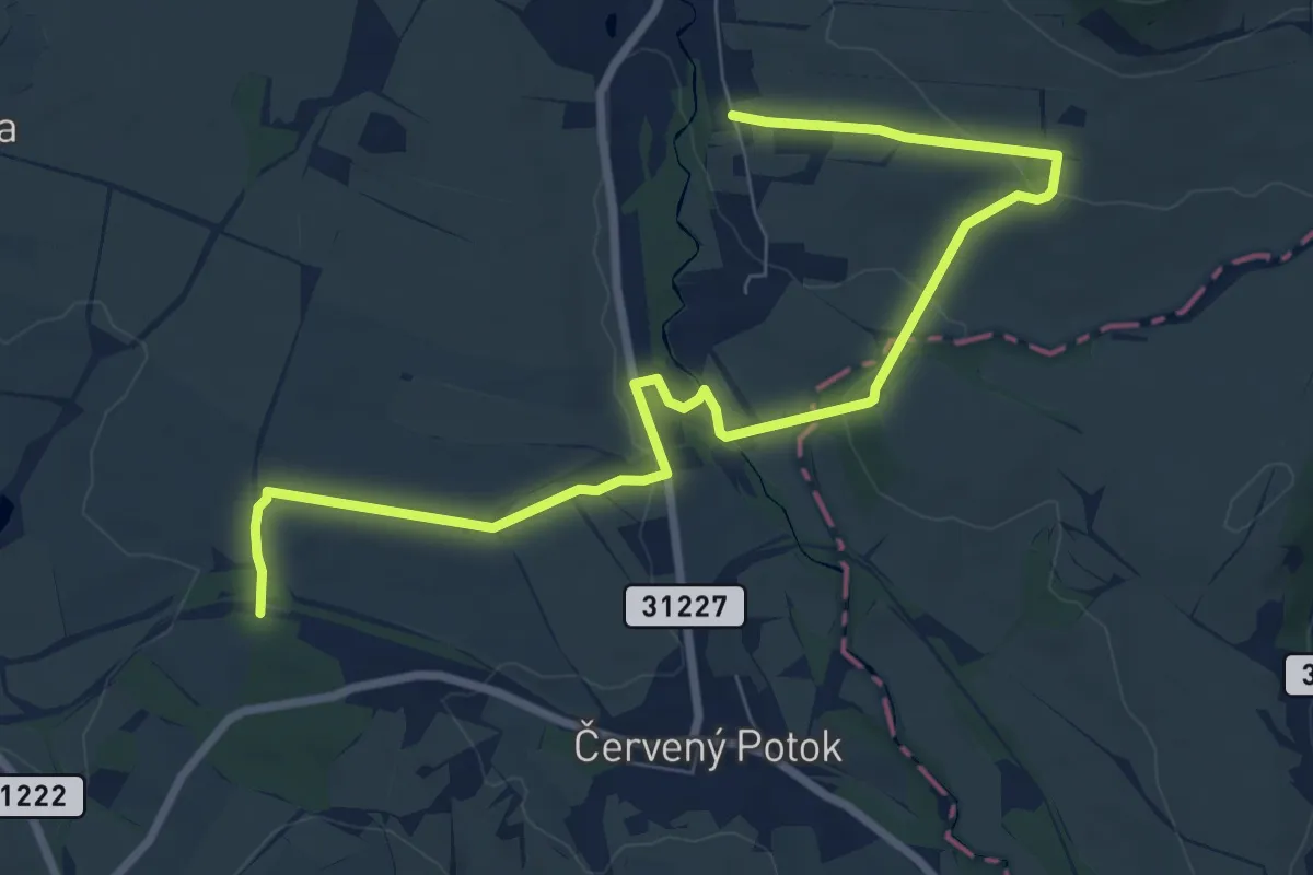
Medium · Trail
[Ž] Červený Potok - KS-5 - Dolní Morava
9.0 km · ↑ 159 m · 2 h 28 min
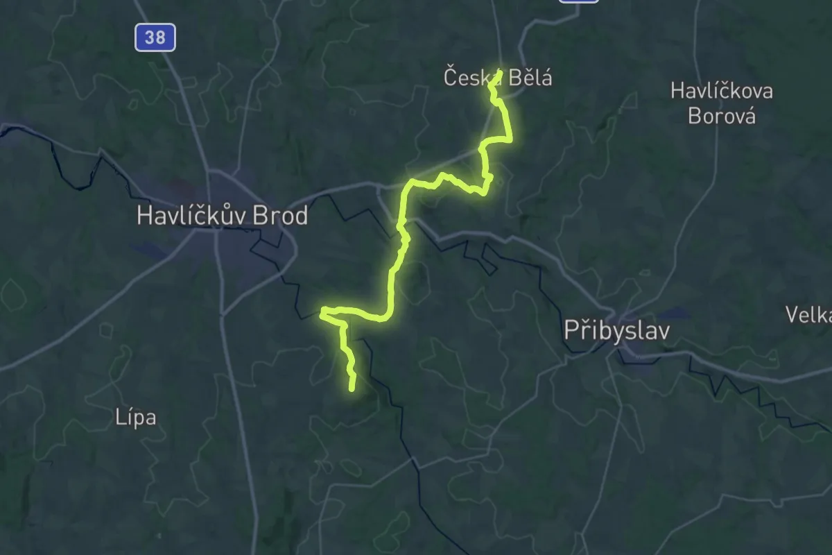
Medium · Trail
[Ž] Česká Bělá - Vysoká
16.7 km · ↑ 266 m · 4 h 48 min
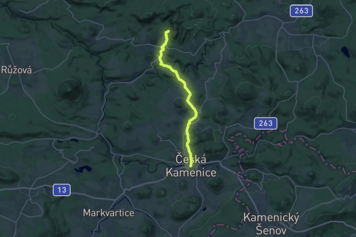
Medium · Summit
[Z] Česká Kamenice - Pohovka
16.8 km · ↑ 458 m · 4 h 57 min
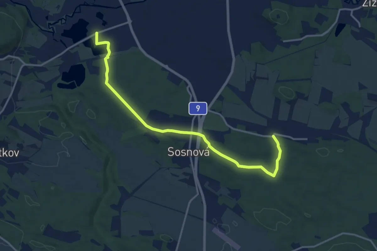
Medium · Trail
[Ž] Česká Lípa Dubice - Okřešice
10.7 km · ↑ 63 m · 2 h 40 min
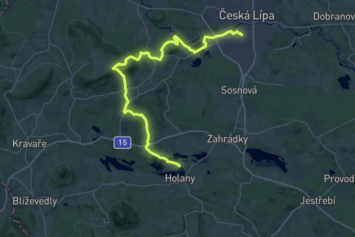
Medium · Trail
[Z] Česká Lípa - Žandov
16.1 km · ↑ 343 m · 4 h 47 min
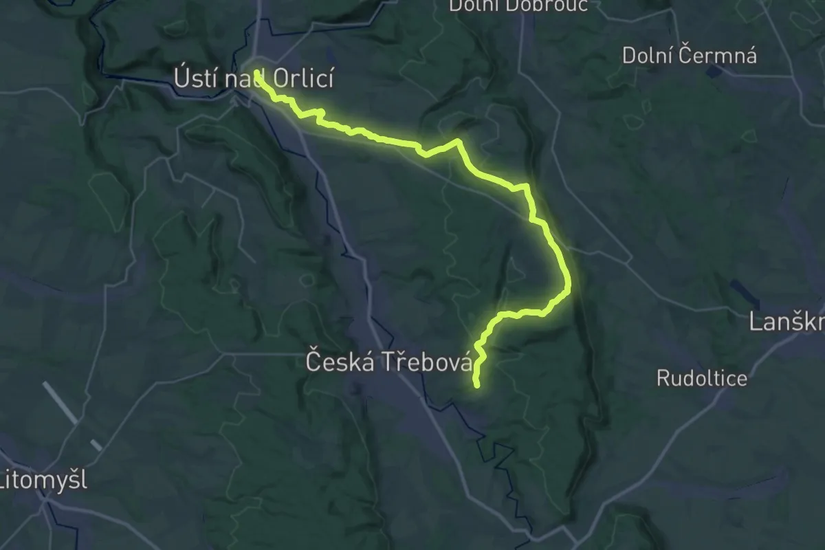
Medium · Trail
[Ž] Česká Třebová - Ústí nad Orlicí
17.9 km · ↑ 335 m · 5 h 10 min
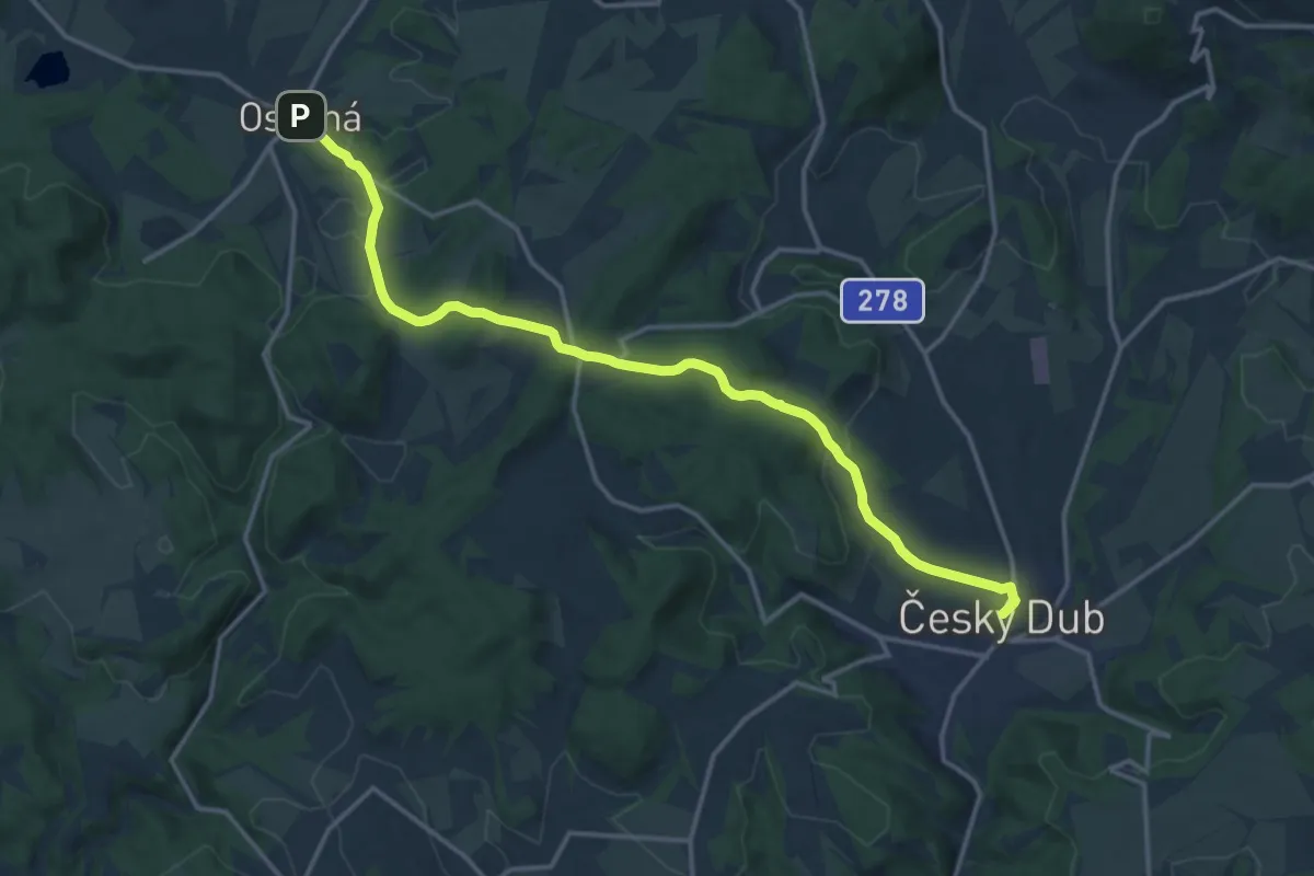
Medium · Trail
[Ž] Český Dub - Osečná
15.3 km · ↑ 275 m · 4 h 12 min
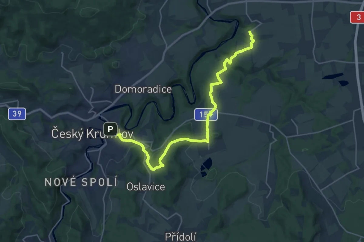
Demanding · Trail
[Ž] Český Krumlov (bus) - Černice
18.8 km · ↑ 445 m · 5 h 24 min
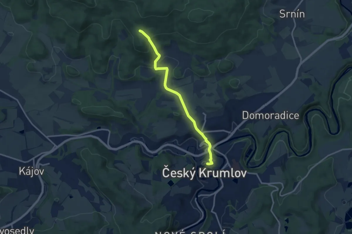
Medium · Trail
[Ž] Český Krumlov - Vyšný
8.6 km · ↑ 273 m · 2 h 37 min
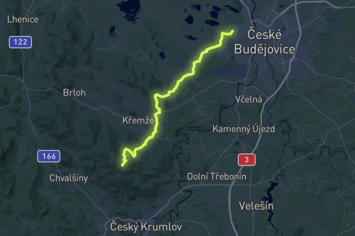
Demanding · Summit
[Z] Český Krumlov (zámek) - České Budějovice (Máj)
46.3 km · ↑ 1398 m · 13 h 58 min
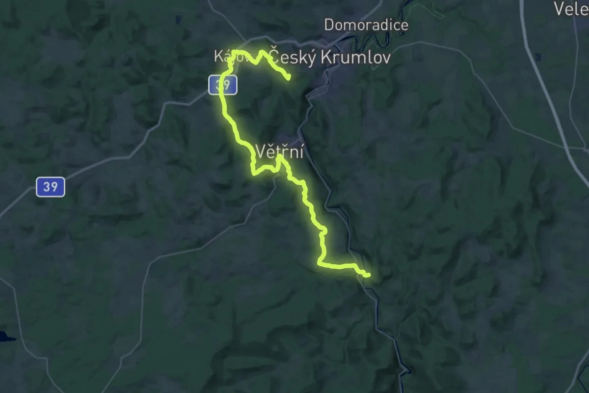
Demanding · Summit
[Ž] Český Krumlov (zámek) - Zátoň
39.7 km · ↑ 883 m · 11 h 17 min
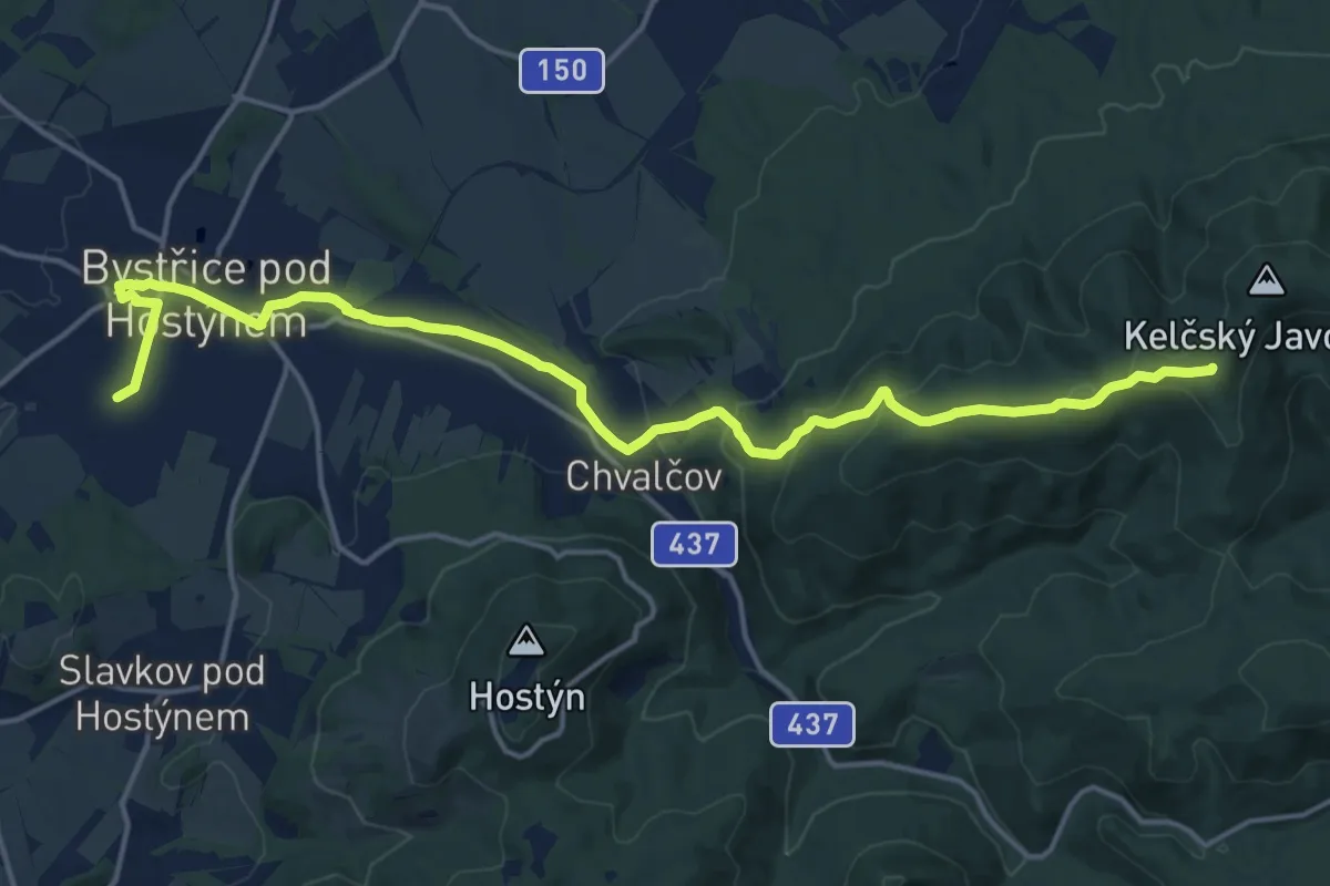
Medium · Summit
[Ž] Cesta bojovníků za mír
18.0 km · ↑ 551 m · 5 h 26 min
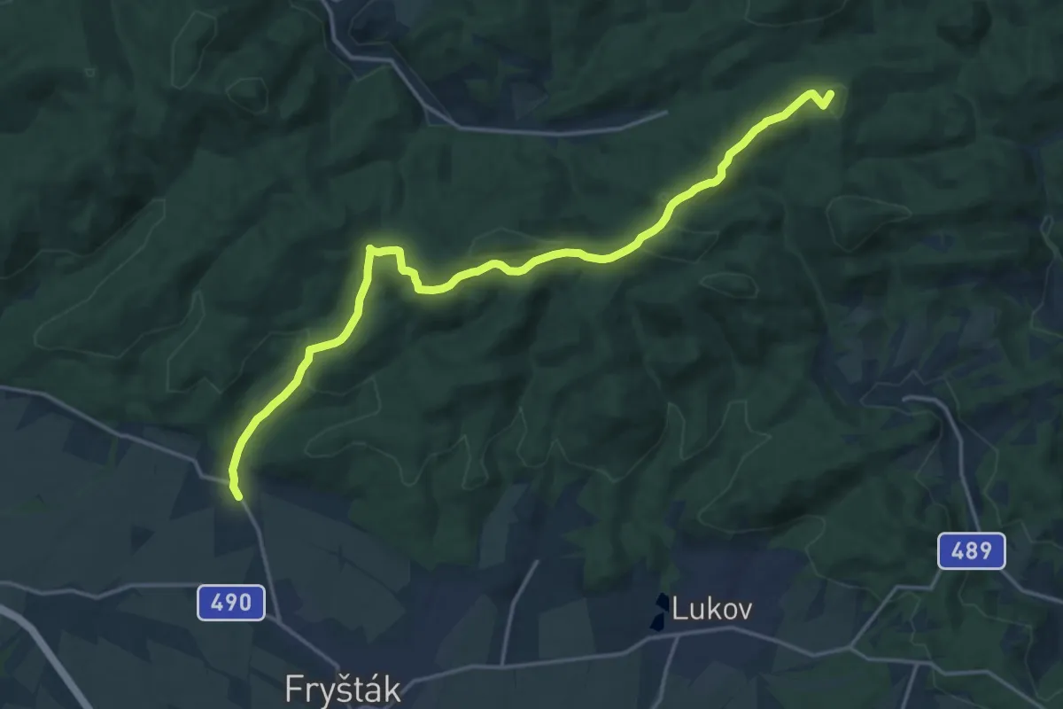
Medium · Summit
[Z] Cesta partyzánské brigády Jana Žižky
17.5 km · ↑ 494 m · 5 h 12 min
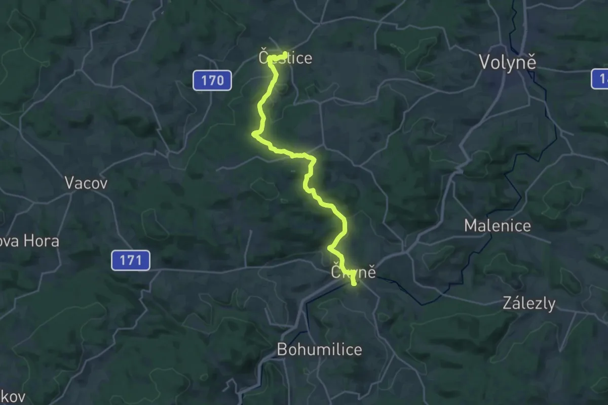
Demanding · Trail
[Z] Čestice - Čkyně
19.6 km · ↑ 529 m · 5 h 47 min
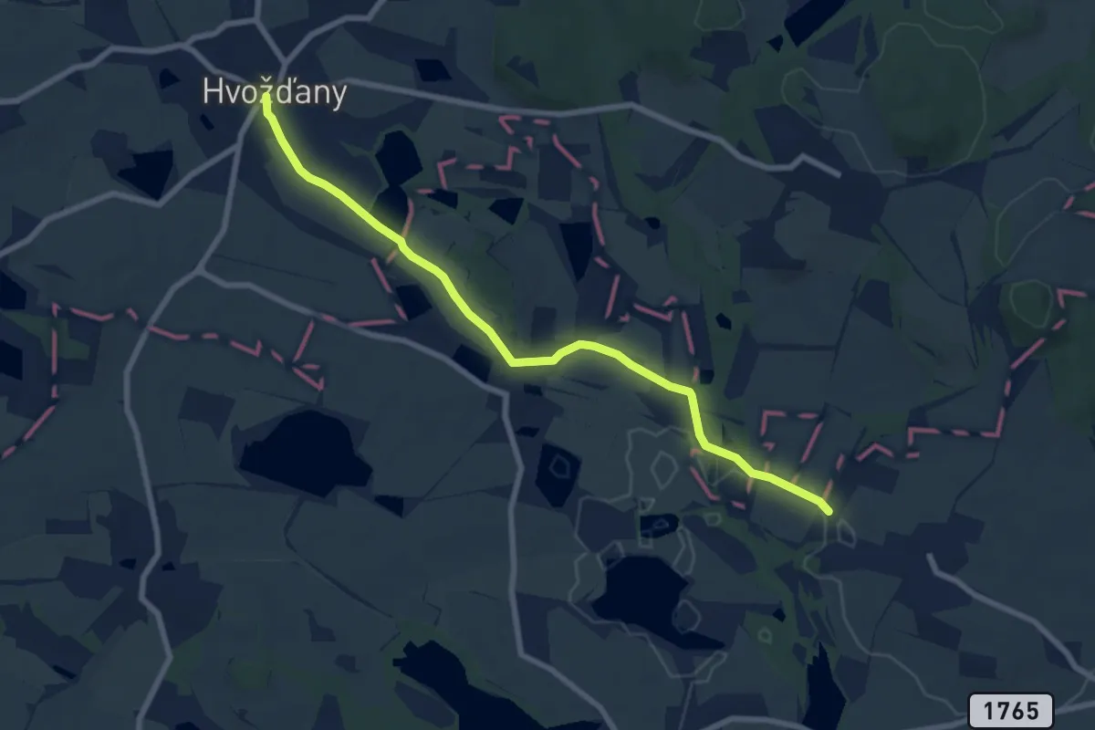
Easy · Trail
[Z] Čestice - Hvožďany
7.3 km · ↑ 62 m · 1 h 52 min
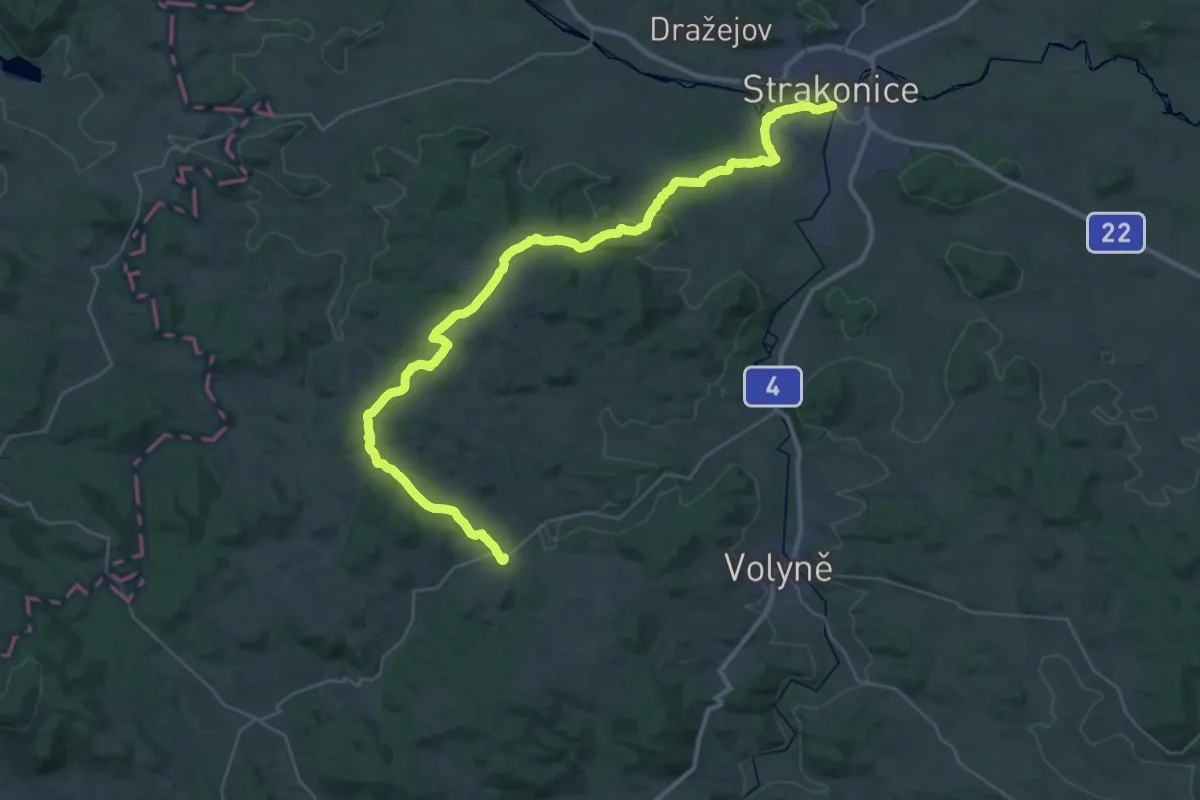
Demanding · Trail
[Z] Čestice - Hvožďany
20.4 km · ↑ 405 m · 5 h 54 min
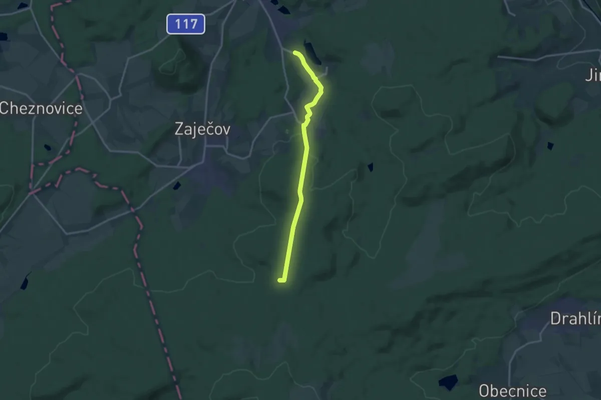
Medium · Trail
[Ž] Chaloupky - K Letišti
12.6 km · ↑ 242 m · 3 h 30 min
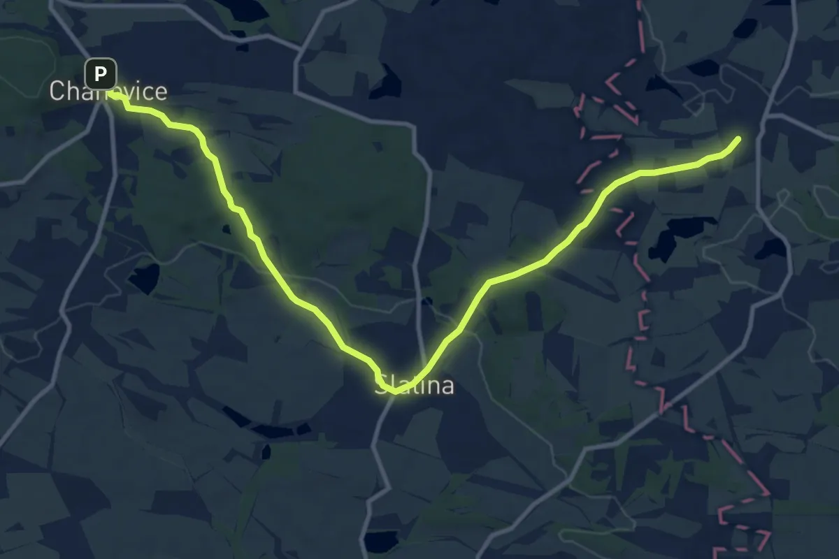
Medium · Trail
[Ž] Chanovice - Záboří
11.7 km · ↑ 176 m · 3 h 9 min
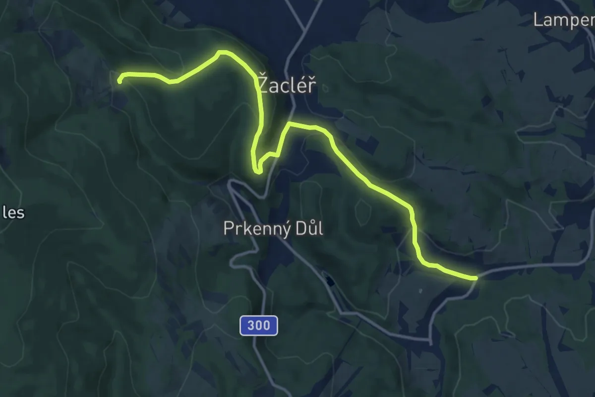
Medium · Trail
[Ž] Chata Ozon - Krenov
12.2 km · ↑ 477 m · 3 h 54 min
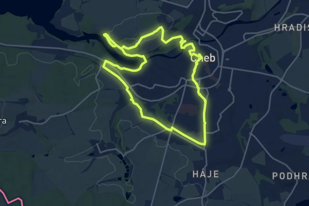
Medium · Trail
[Ž] Cheb - Šibeniční vrch
10.5 km · ↑ 149 m · 2 h 57 min
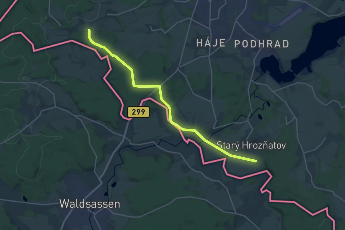
Medium · Trail
[Z] Cheb - Zelená hora - Starý Hrozňatov
17.7 km · ↑ 210 m · 4 h 38 min
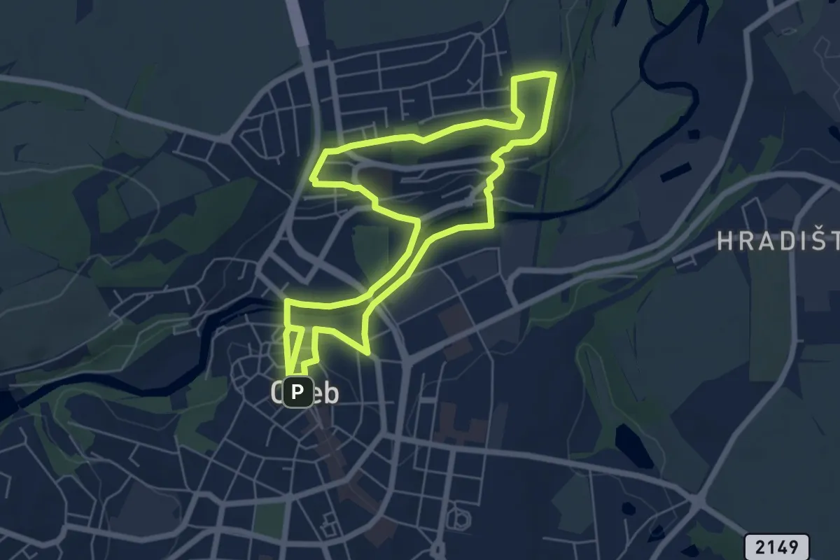
Medium · Trail
[Z] Cheb - Zlatý vrch
10.8 km · ↑ 143 m · 2 h 51 min
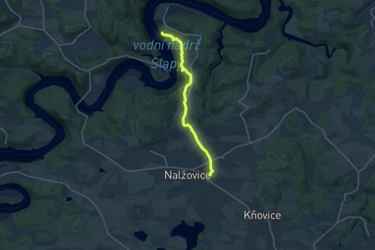
Medium · Trail
[Ž] Chlum - Častoboř
10.4 km · ↑ 313 m · 3 h 9 min
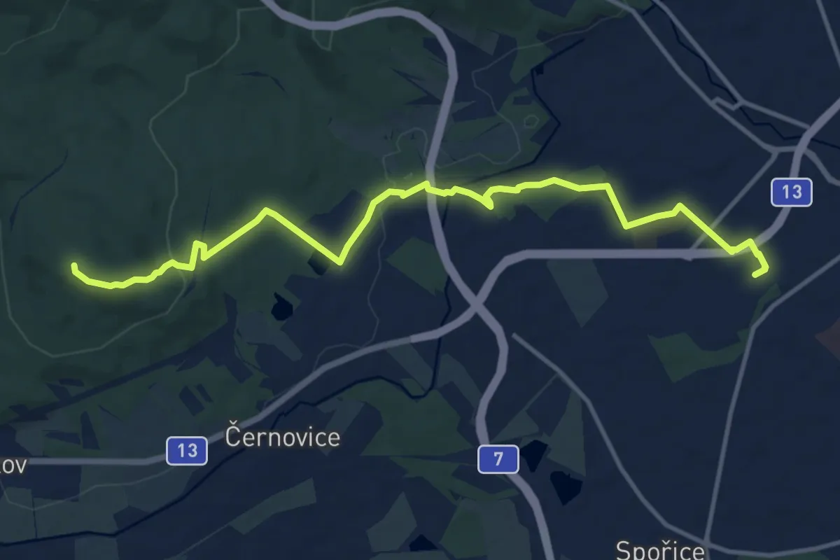
Medium · Trail
[Ž] Chomutov - Hradiště
11.6 km · ↑ 247 m · 3 h 16 min
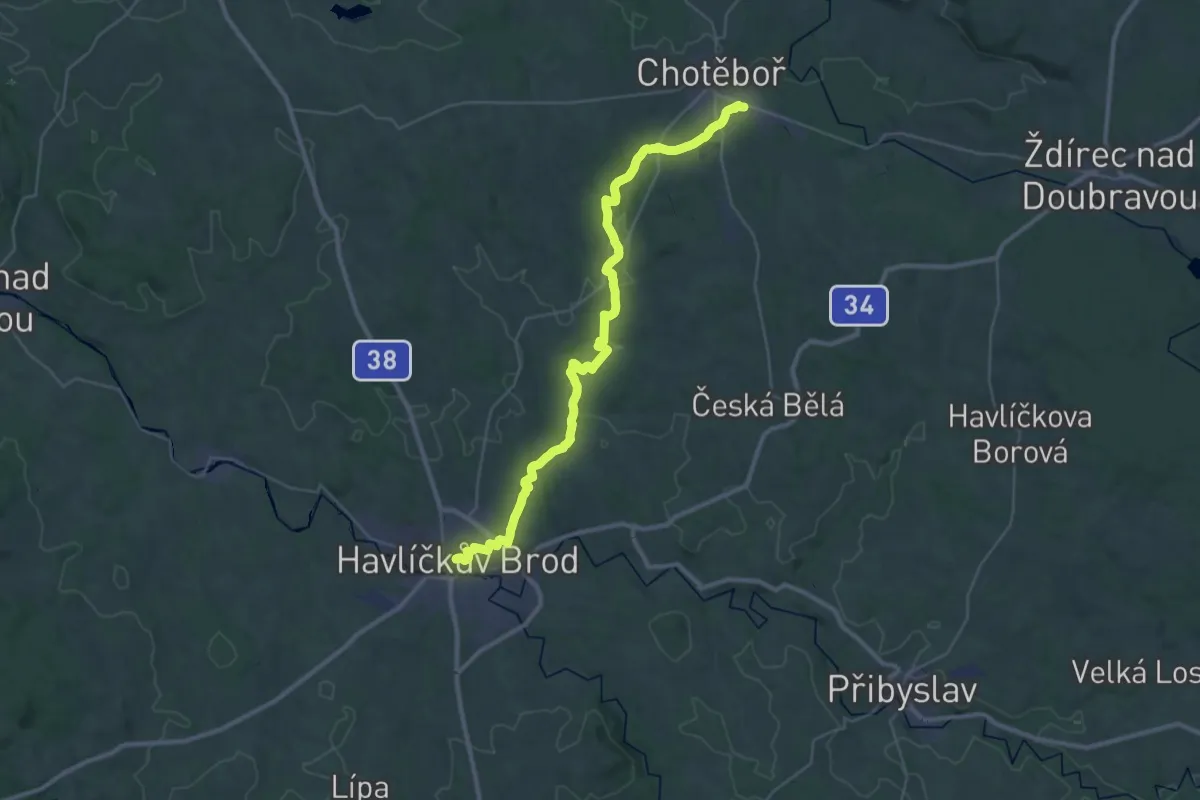
Demanding · Trail
[Ž] Chotěboř - Rozsochatec - Havlíčkův Brod
18.7 km · ↑ 416 m · 5 h 38 min
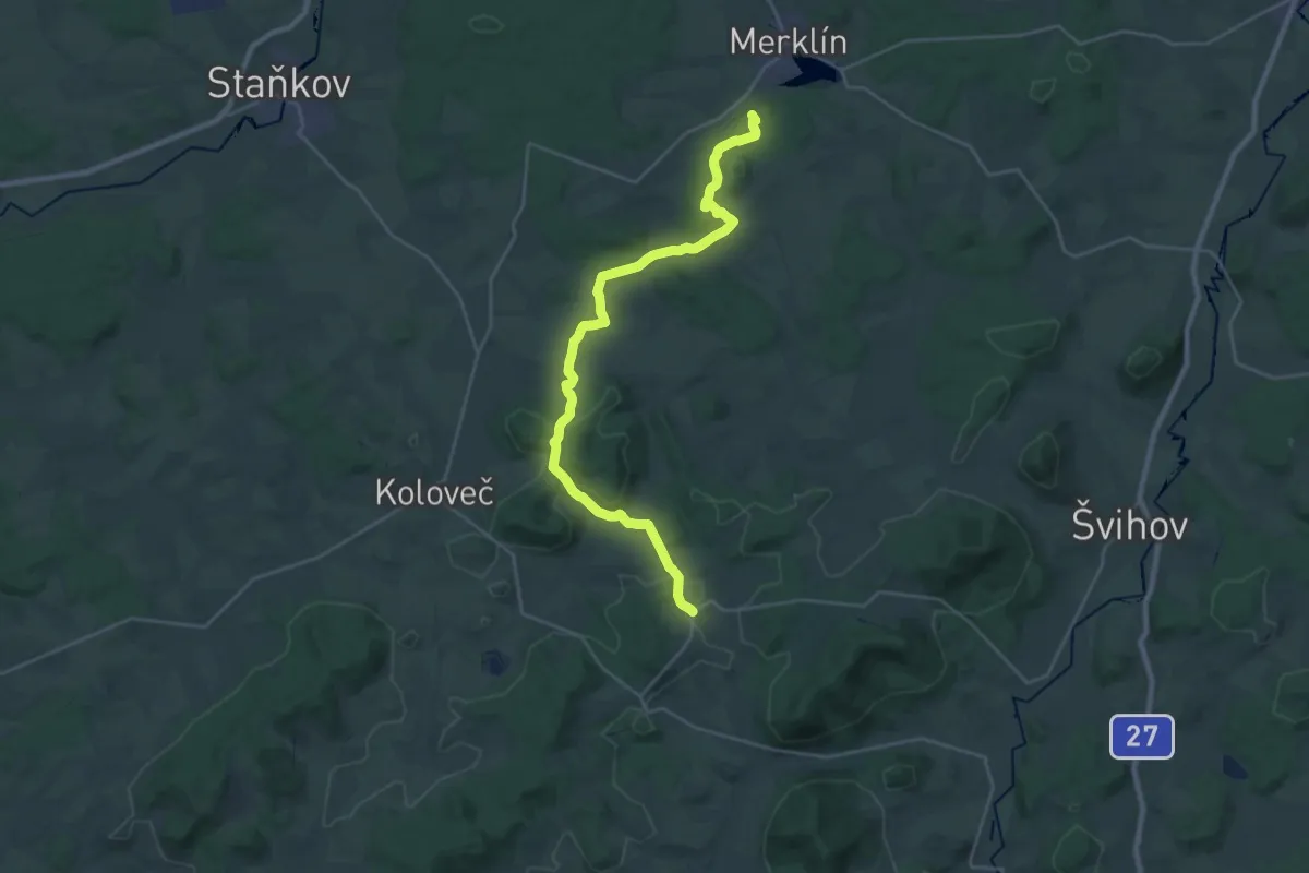
Demanding · Summit
[Z] Chotěšov - Chudenice
27.8 km · ↑ 533 m · 7 h 43 min
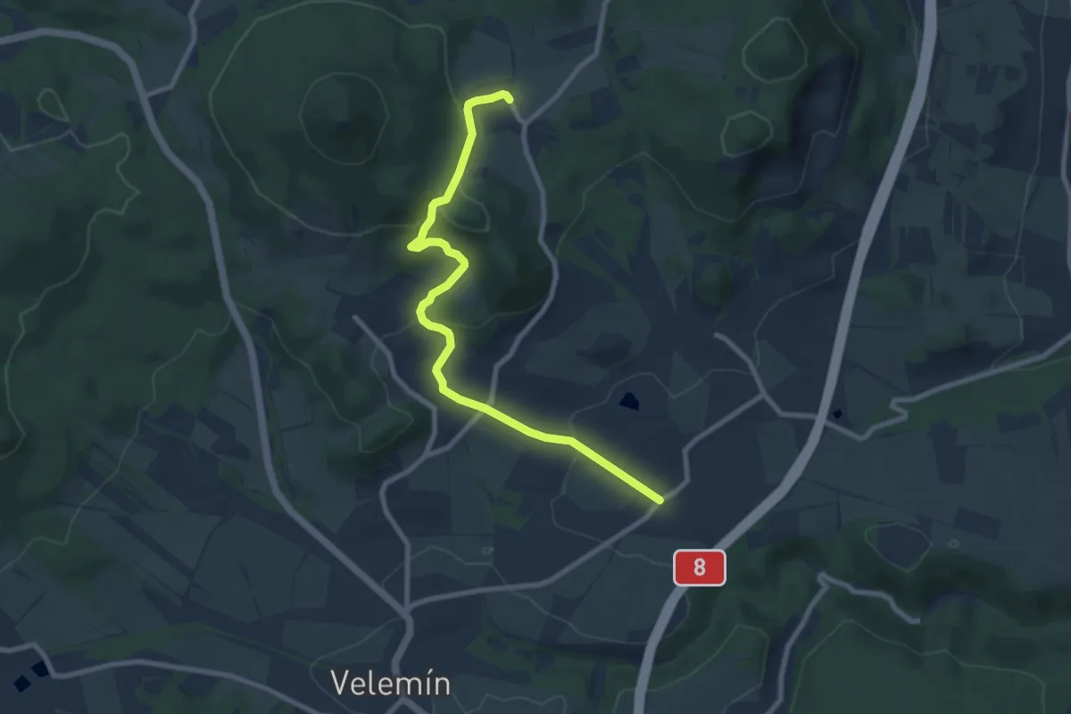
Easy · Trail
[Ž] Chotiměř – Kletečná
7.9 km · ↑ 301 m · 2 h 31 min
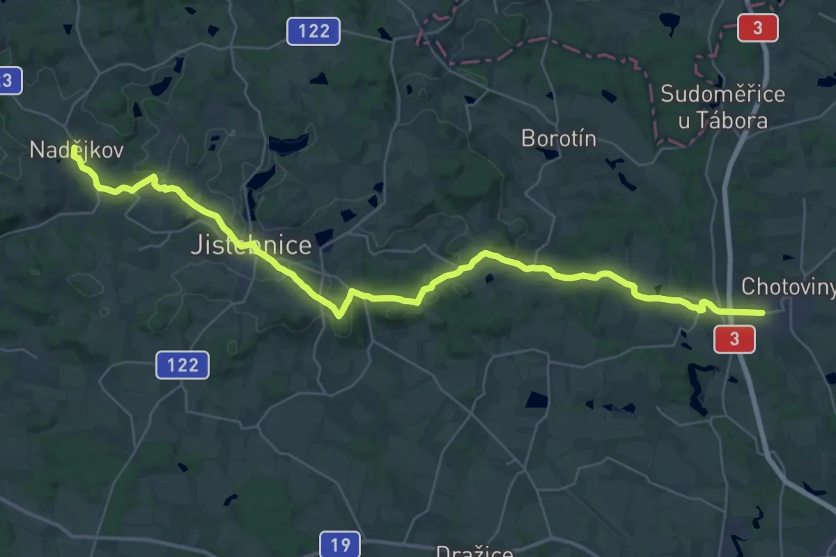
Medium · Trail
[Z] Chotoviny - Nadějkov
17.2 km · ↑ 353 m · 5 h 3 min
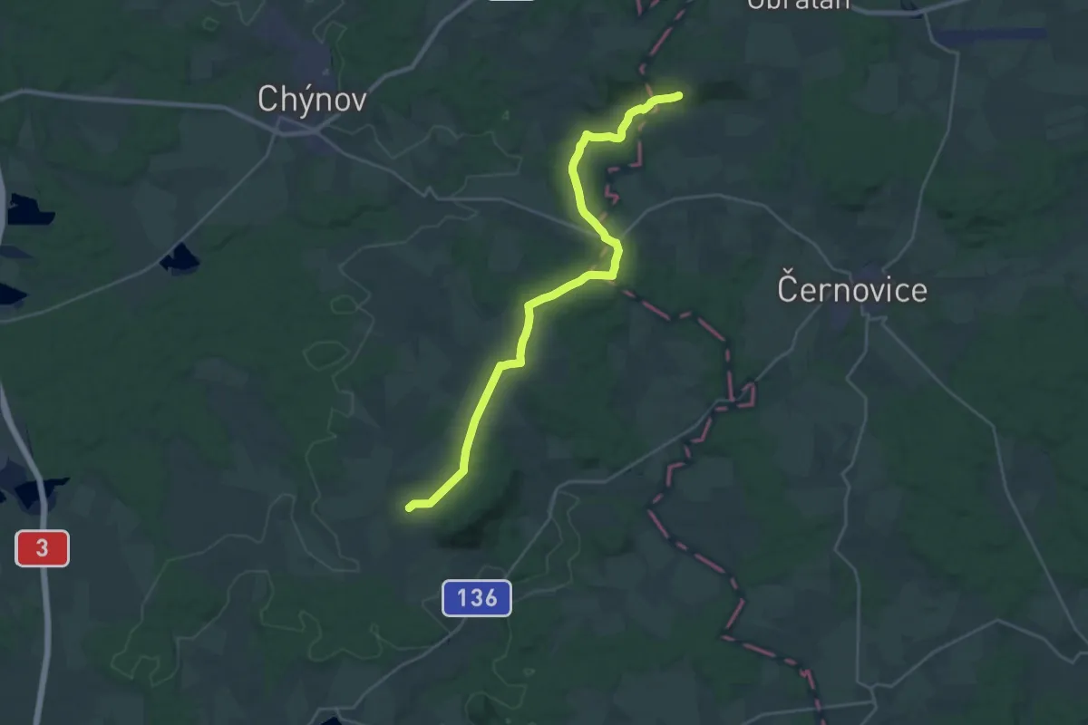
Demanding · Trail
[Ž] Choustník - Pod Svídníkem
25.2 km · ↑ 404 m · 6 h 49 min
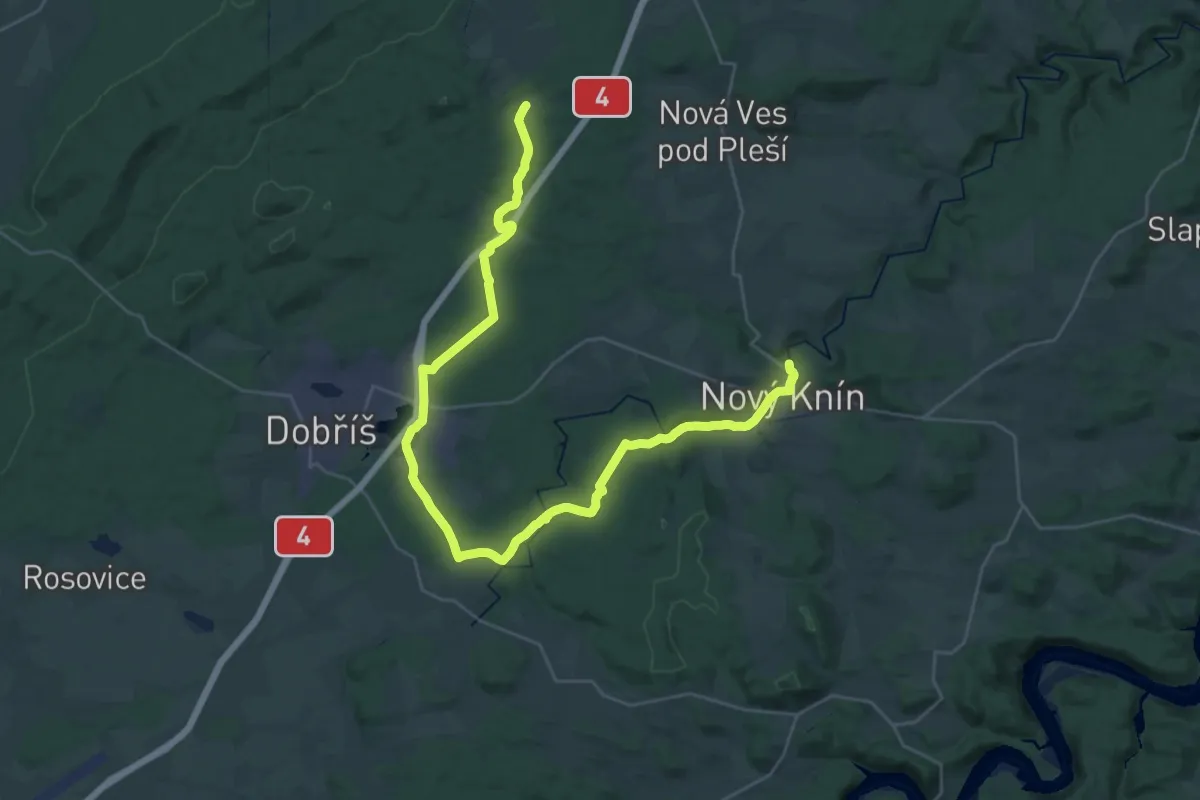
Demanding · Trail
[Ž] Chouzavá - Nový Knín
19.1 km · ↑ 293 m · 5 h 21 min
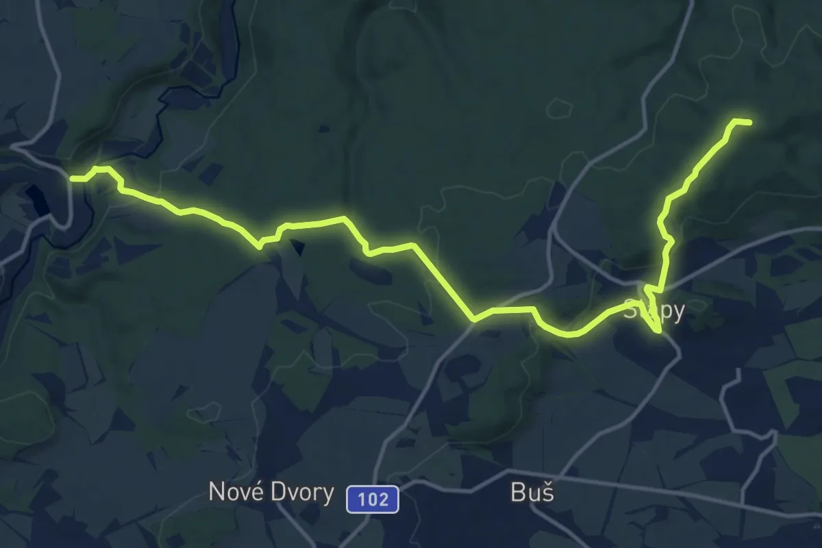
Medium · Summit
[Ž] Chouzavá - Slapy - Pod Homolí
14.8 km · ↑ 368 m · 4 h 17 min
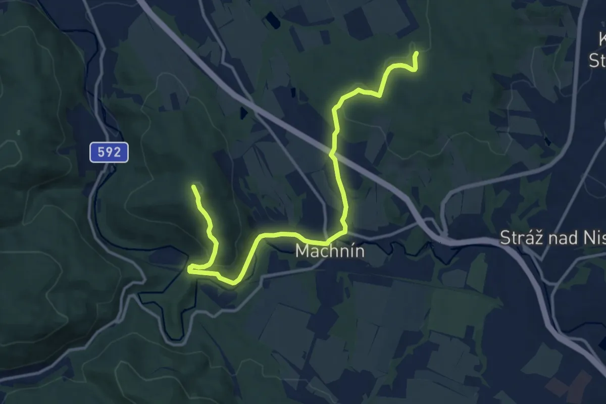
Medium · Summit
[Ž] Chrastava - Bedřichovský les
11.7 km · ↑ 366 m · 3 h 33 min
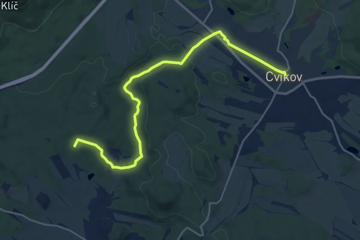
Medium · Summit
[Z] Chřibská - Cvikov
11.4 km · ↑ 181 m · 3 h 5 min
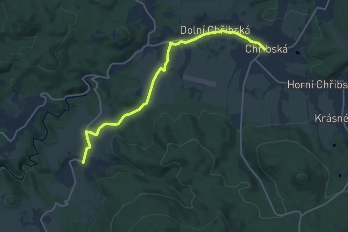
Medium · Trail
[Z] Chřibská - Studený
10.0 km · ↑ 198 m · 2 h 48 min
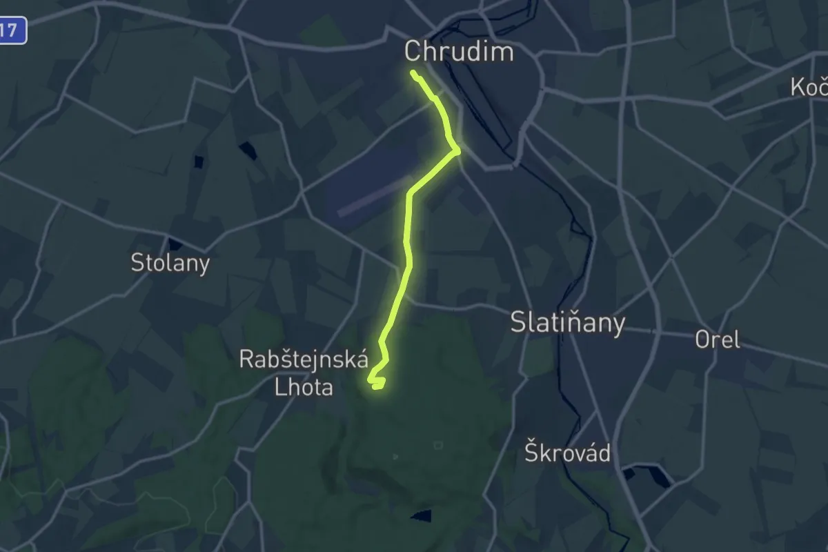
Medium · Summit
[Ž] Chrudim - Podhůra - Rabštejnská Lhota - Sobětuchy
9.6 km · ↑ 104 m · 2 h 30 min
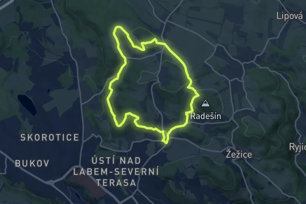
Medium · Summit
[Ž] Chuderov okruh
9.6 km · ↑ 329 m · 3 h 7 min