Trails in Czech Republic
4,056 hiking trails, each with its route, climb, walking time and grade.
All trails, page 58 of 85
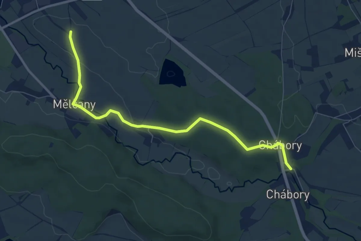
Easy · Summit
[Ž] Dobruška - Chabory
7.2 km · ↑ 94 m · 1 h 55 min
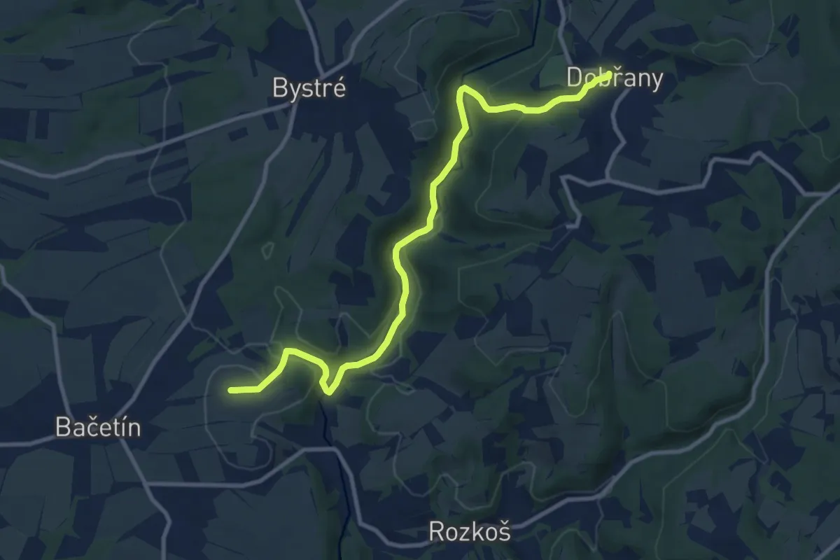
Medium · Summit
[Z] Dobruška - Dobřany
9.8 km · ↑ 223 m · 2 h 48 min
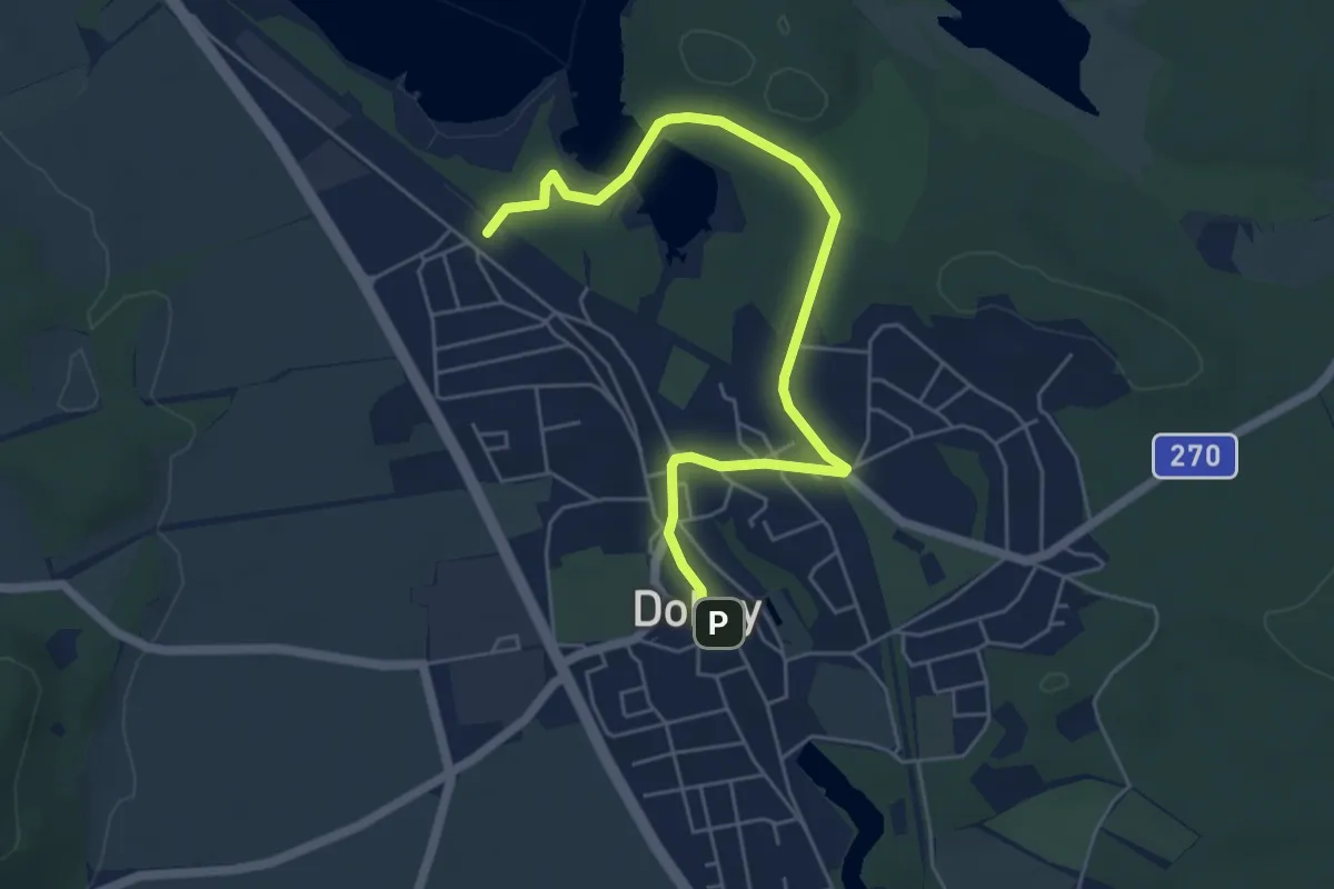
Easy · Trail
[Ž] Doksy
5.6 km · ↑ 64 m · 1 h 27 min
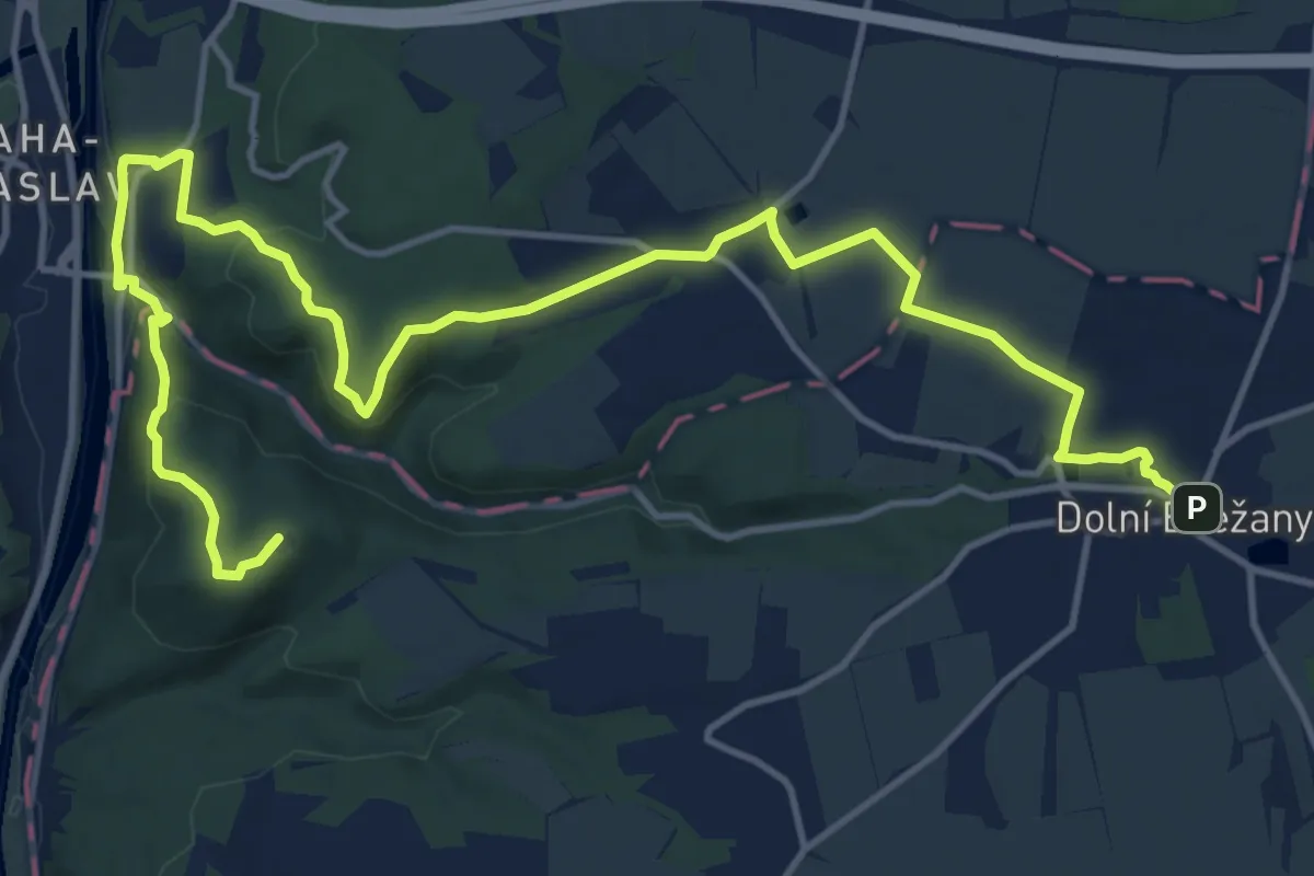
Medium · Summit
[Ž] Dolní Břežany - Károvské údolí
17.7 km · ↑ 471 m · 5 h 11 min
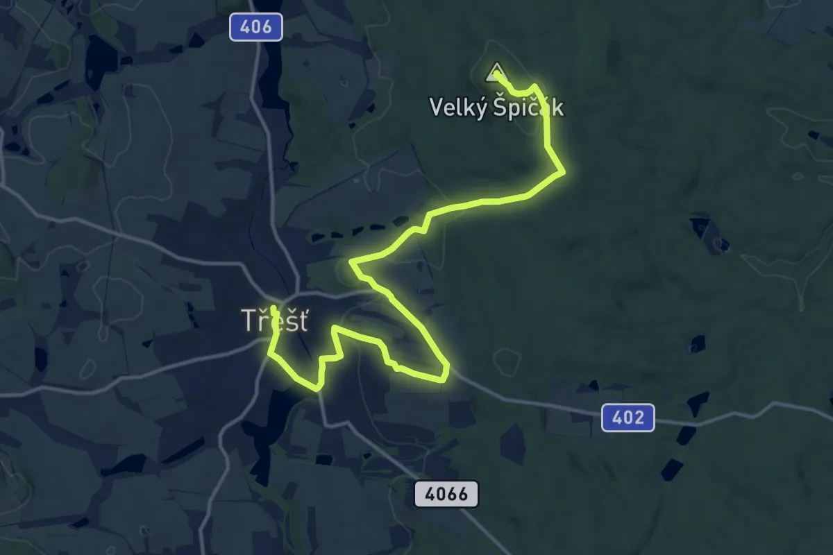
Medium · Summit
[Z] Dolní Cerekev (vlak) - Třešť
15.9 km · ↑ 367 m · 4 h 32 min
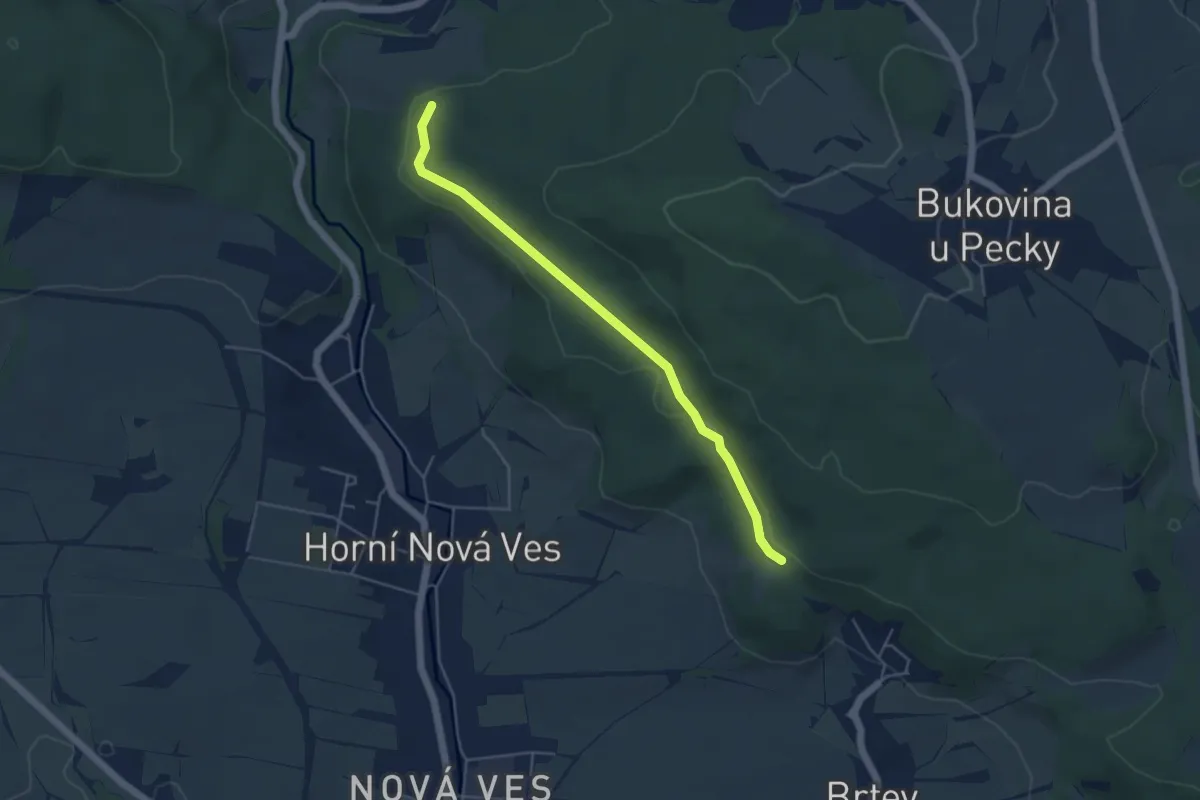
Easy · Trail
[Ž] Dolní javoří - Na nebesích
4.3 km · ↑ 57 m · 1 h 9 min
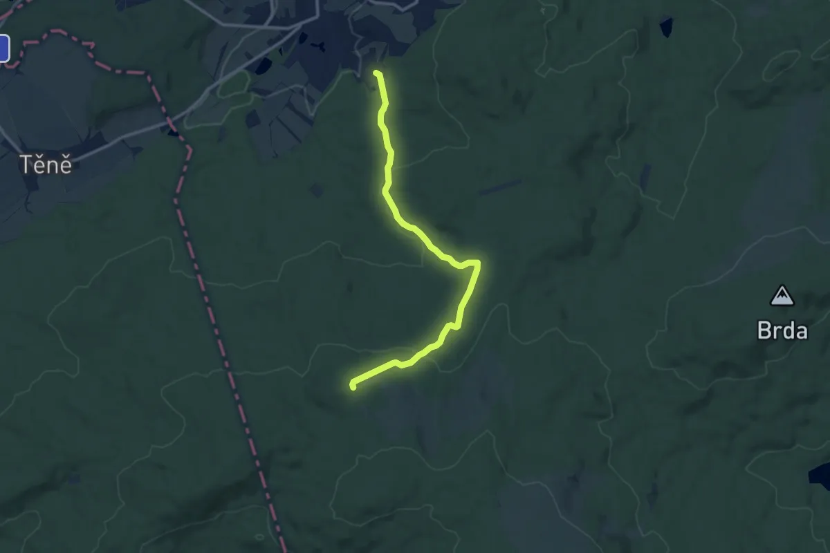
Medium · Trail
[Z] Dolní Kvaň - Dlouhý vrch
10.8 km · ↑ 310 m · 3 h 13 min
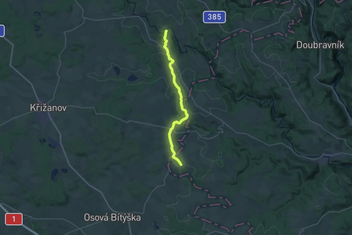
Demanding · Trail
[Ž] Dolní Loučky (bus) - Podmitrov
21.1 km · ↑ 346 m · 5 h 44 min
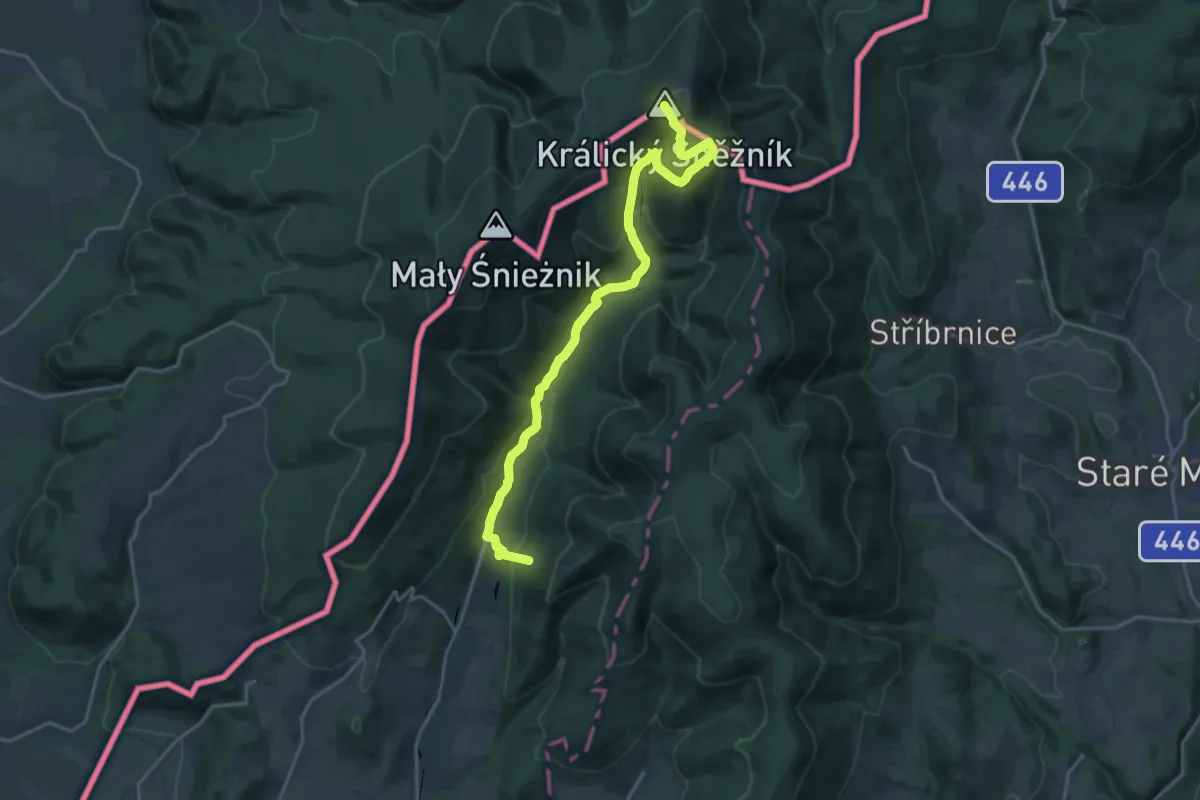
Demanding · Summit
[Ž] Dolní Morava - Králický Sněžník
20.1 km · ↑ 918 m · 6 h 44 min
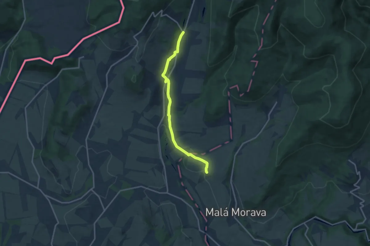
Medium · Trail
[Z] Dolní Morava - Svatá Trojice
9.9 km · ↑ 118 m · 2 h 35 min
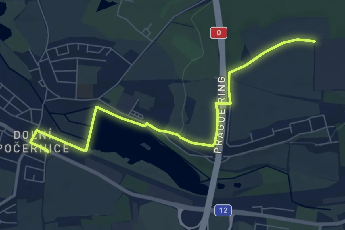
Easy · Trail
[Ž] Dolní Počernice - V Ořešinách
6.3 km · ↑ 31 m · 1 h 33 min
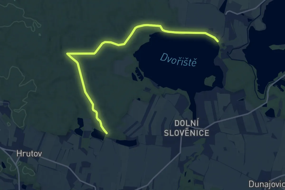
Medium · Trail
[Ž] Dolní Pohoř - Dvořiště
14.0 km · ↑ 86 m · 3 h 30 min
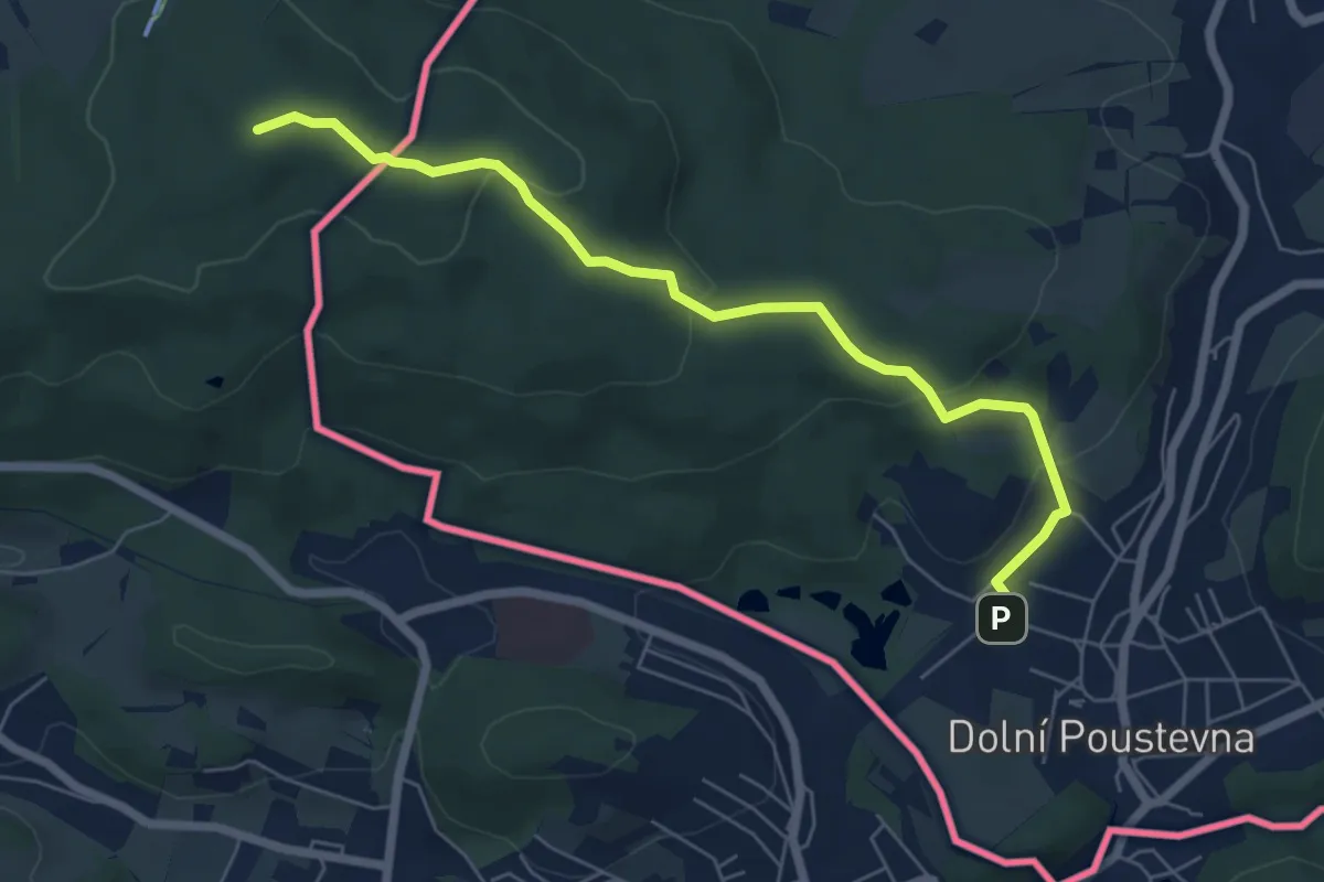
Easy · Summit
[Ž] Dolní Poustevna žst. - Maxova bouda - hraniční přechod
6.0 km · ↑ 203 m · 1 h 51 min
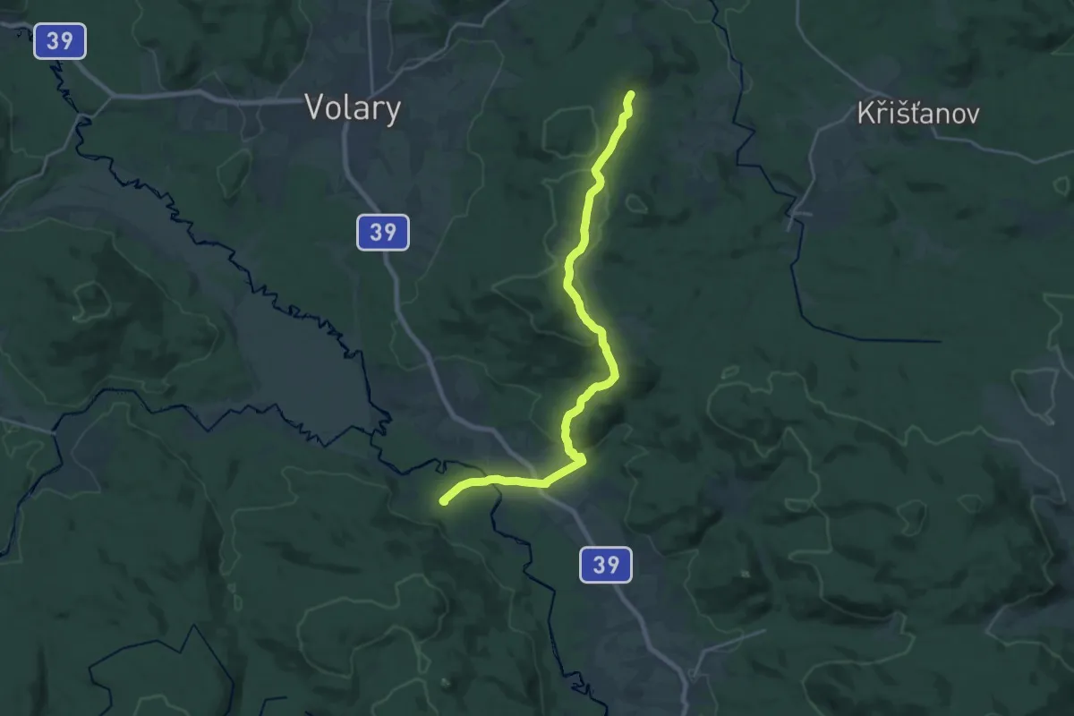
Demanding · Trail
[Ž] Dolní Sněžná - Pěkná
20.6 km · ↑ 439 m · 5 h 48 min
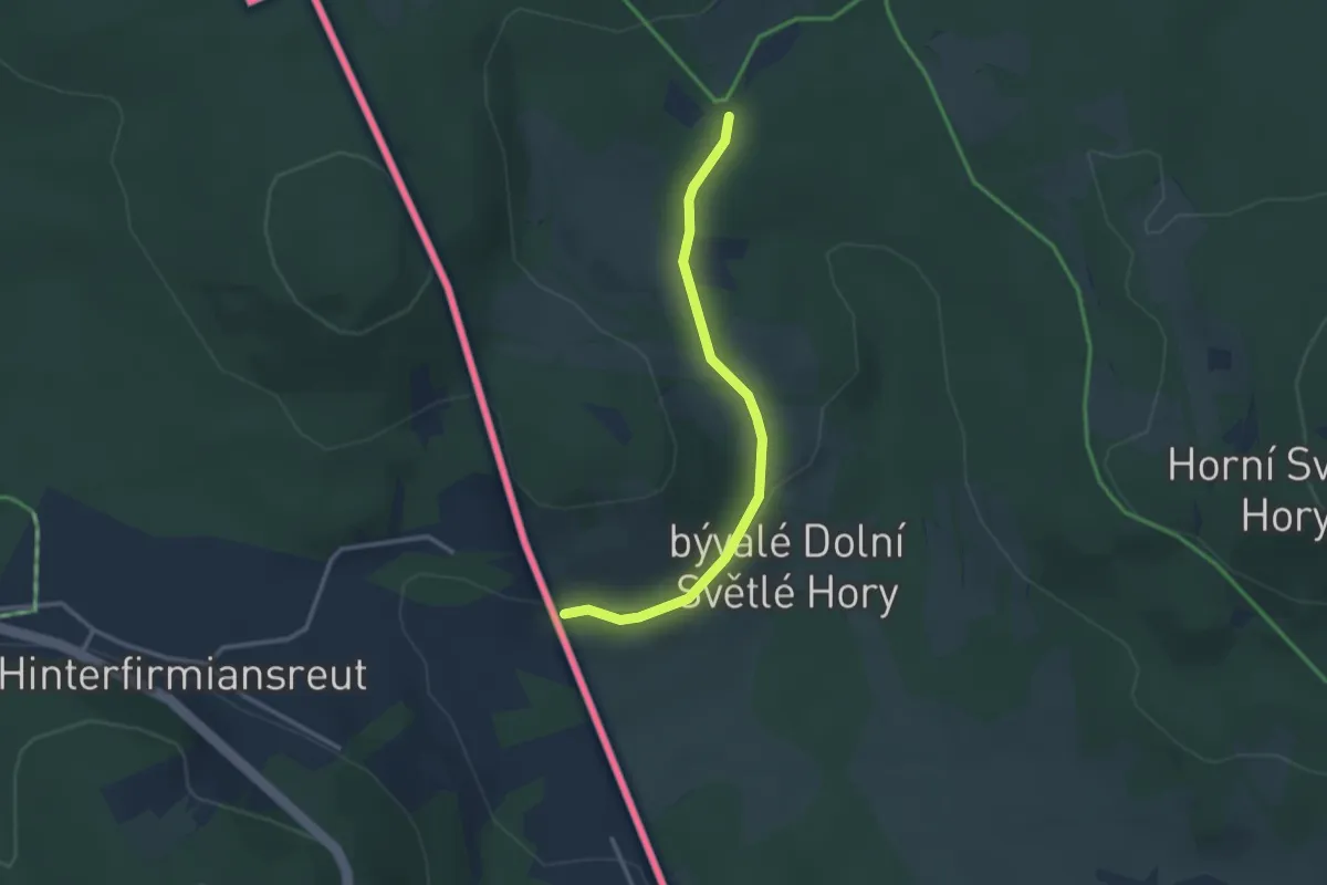
Easy · Trail
[Ž] Dolní Světlé hory - Josefov
2.7 km · ↑ 51 m · 45 min
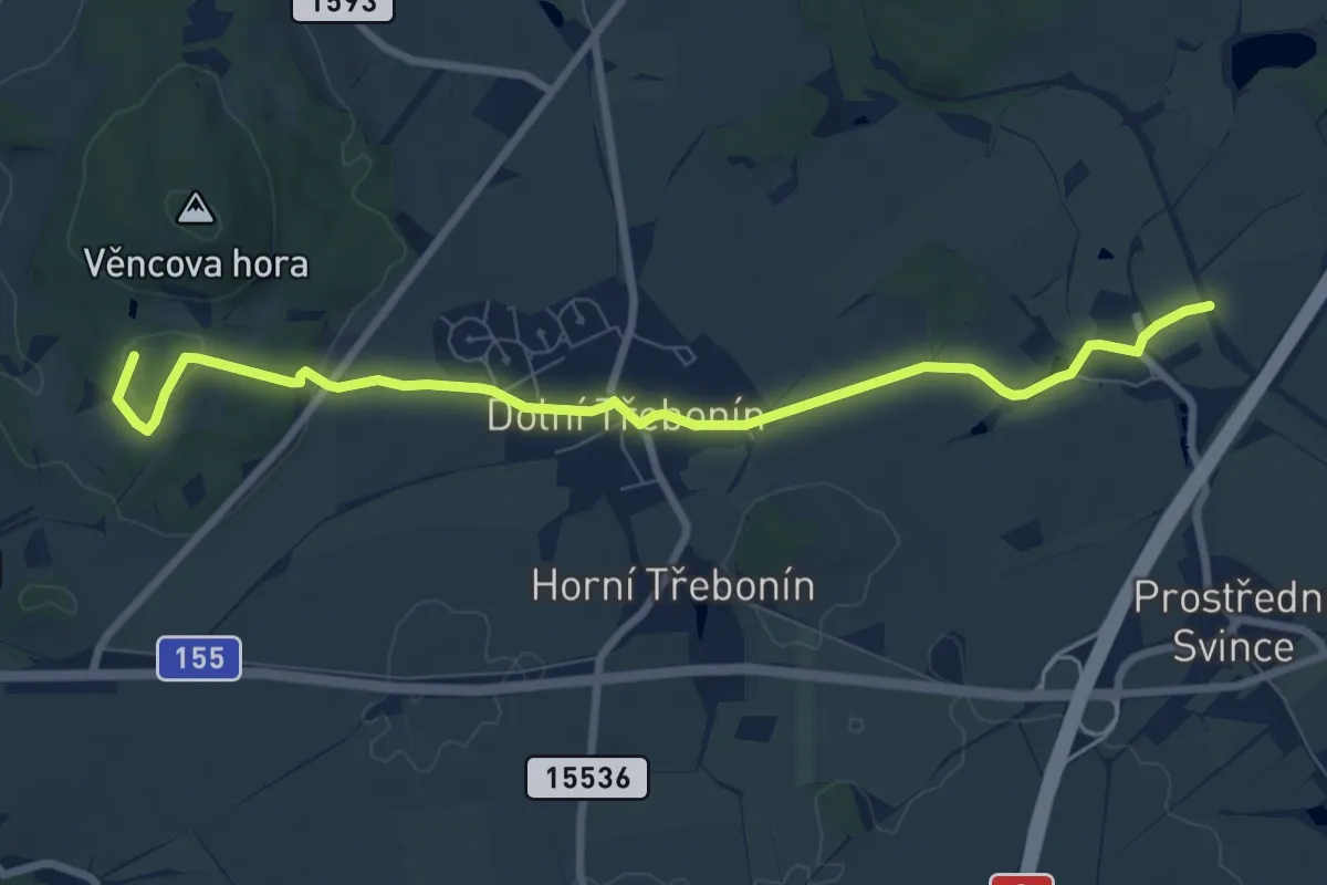
Medium · Summit
[Ž] Dolní Svince - Štěkře
8.3 km · ↑ 138 m · 2 h 16 min
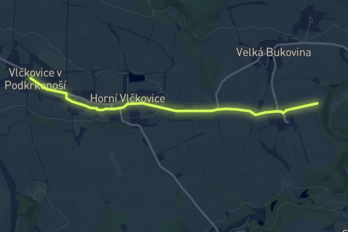
Easy · Trail
[Ž] Dolní Vlčkovice - U Střeziměřic
7.9 km · ↑ 51 m · 1 h 59 min
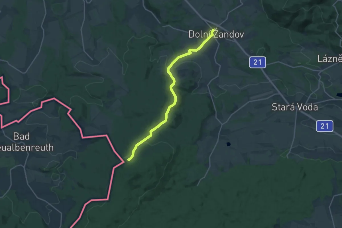
Medium · Trail
[Ž] Dolní Žandov - Pod Dylení
14.6 km · ↑ 333 m · 4 h 10 min
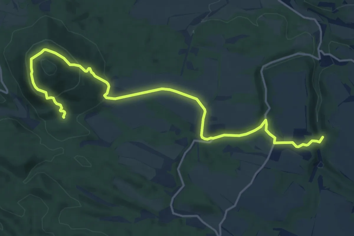
Medium · Trail
[Ž] Dolské údolí - Pod Vlhoštěm
13.3 km · ↑ 459 m · 4 h 9 min
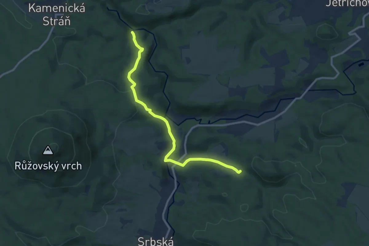
Easy · Trail
[Z] Dolský mlýn - Pod Borovinou
7.2 km · ↑ 218 m · 2 h 10 min
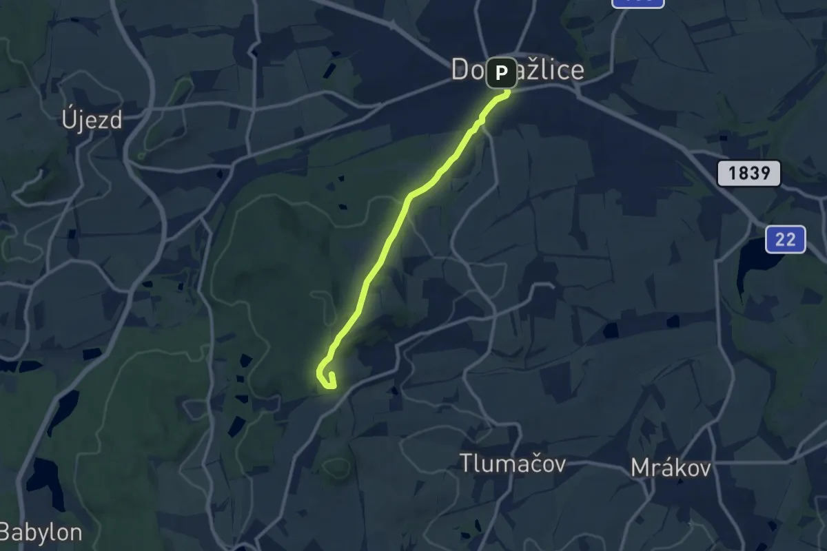
Medium · Summit
[Z] Domažlice - Spálenec
8.3 km · ↑ 213 m · 2 h 25 min
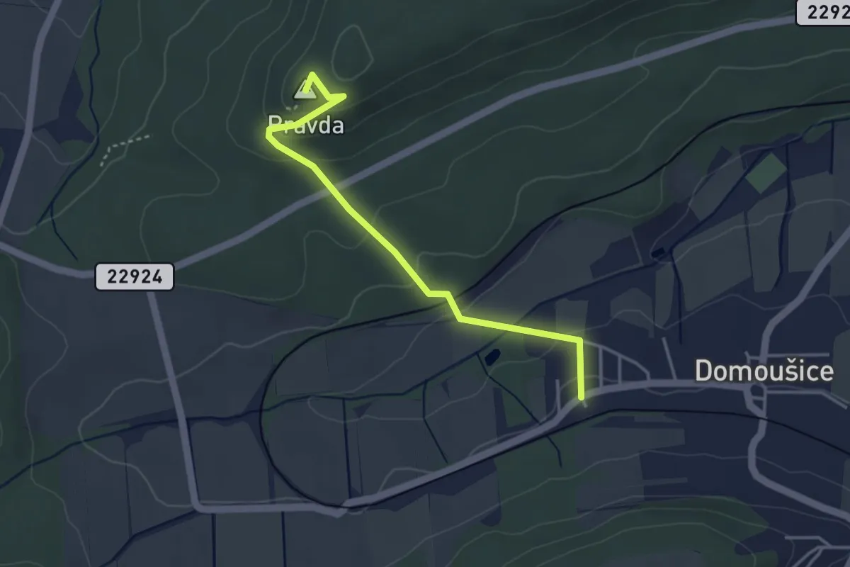
Easy · Summit
[Ž] Domoušice - Pravda
3.4 km · ↑ 153 m · 1 h 7 min
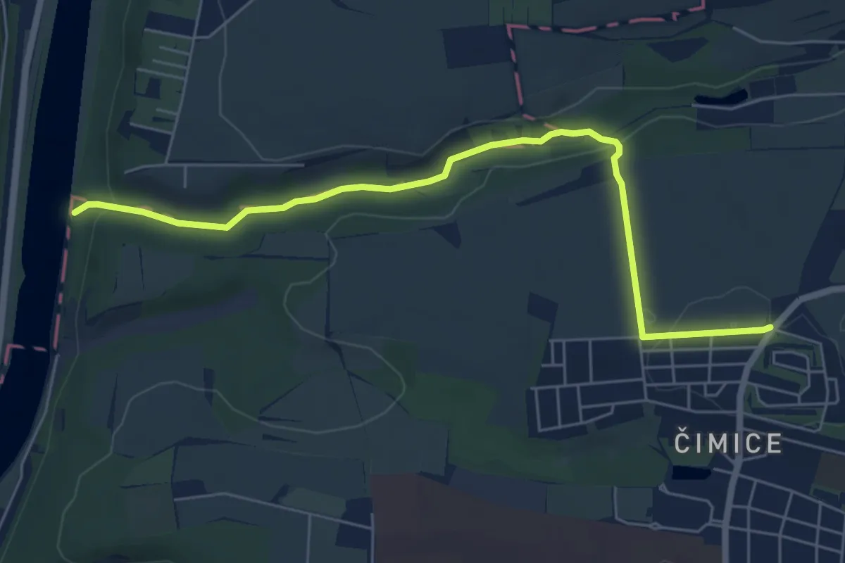
Easy · Trail
[Ž] Drahanské údolí - Čimice
5.9 km · ↑ 119 m · 1 h 40 min
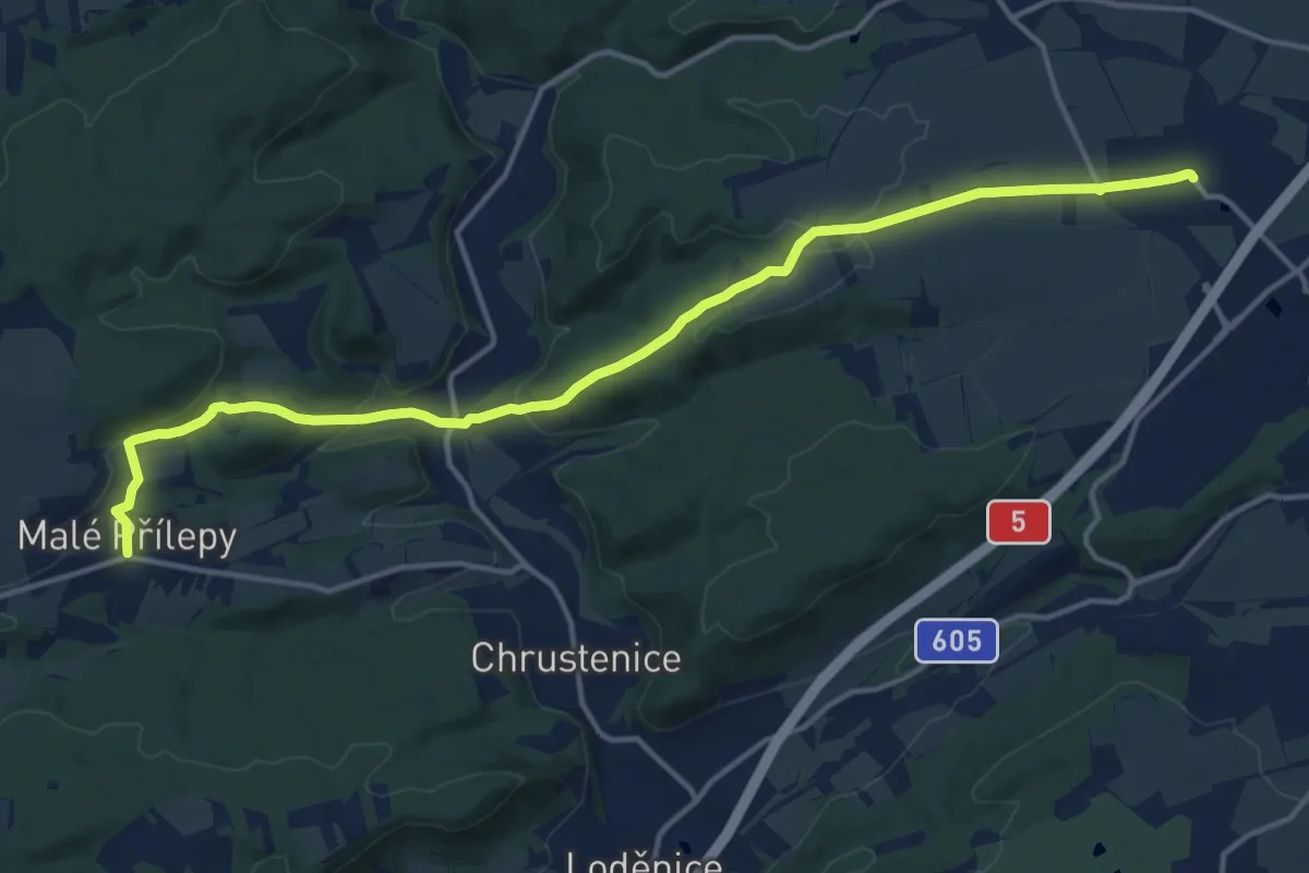
Medium · Trail
[Ž] Drahelčice - Malé Přílepy
15.2 km · ↑ 292 m · 4 h 13 min
Medium · Summit
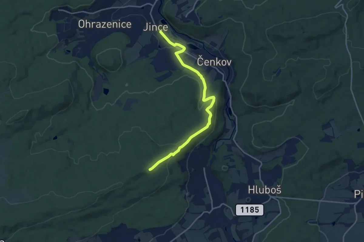
[Z] Drahlín - Jince
12.0 km · ↑ 310 m · 3 h 30 min
Easy · Trail
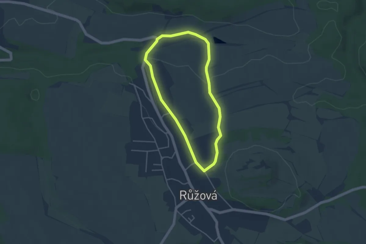
Zdravotní stezka
2.9 km · ↑ 43 m · 49 min
Medium · Trail
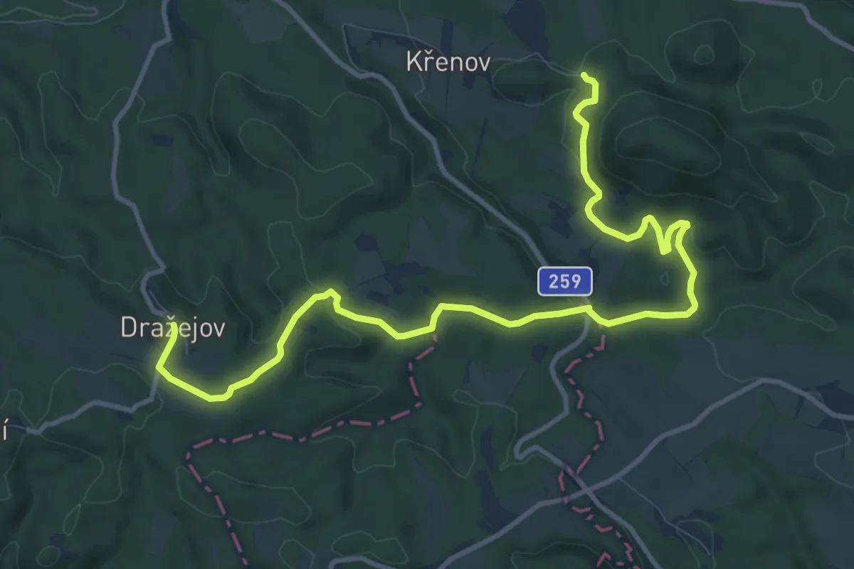
[Z] Dražejov - U Kamenného vrchu
11.9 km · ↑ 264 m · 3 h 23 min
Medium · Trail
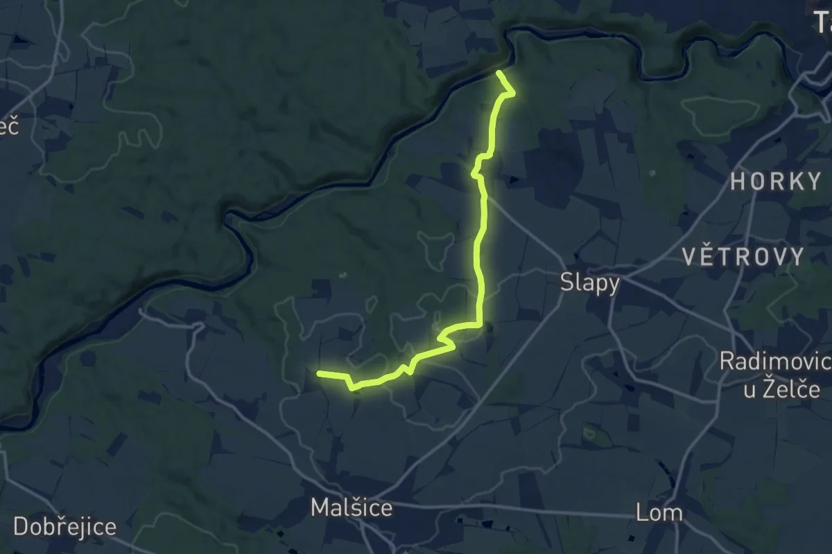
[Z] Dražičky - Matoušovský mlýn
11.7 km · ↑ 181 m · 3 h 9 min
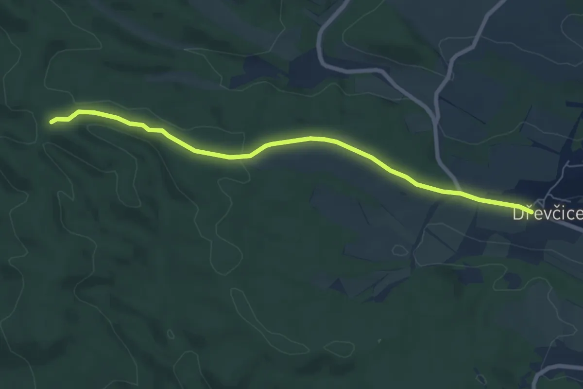
Easy · Trail
[Ž] Dřevčice - U Martinské stěny
5.9 km · ↑ 50 m · 1 h 30 min
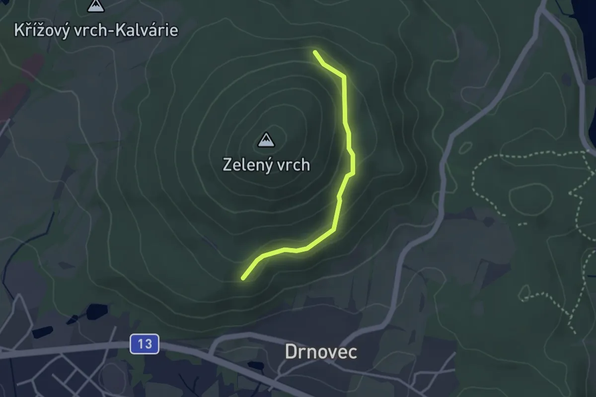
Easy · Trail
[Ž] dříve Cvikovský okruh
2.4 km · ↑ 81 m · 44 min
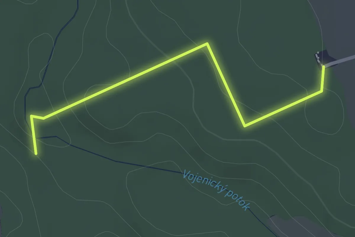
Easy · Trail
[Ž] Dřízenské údolí - Osičina
2.1 km · ↑ 45 m · 36 min
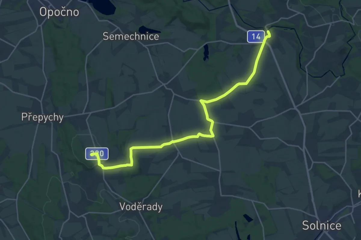
Demanding · Summit
[Z] Dřízna - Podbřezí
20.5 km · ↑ 207 m · 5 h 17 min
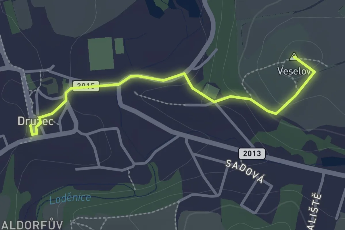
Easy · Summit
[Ž] Družec - Velká Dobrá
2.5 km · ↑ 60 m · 43 min
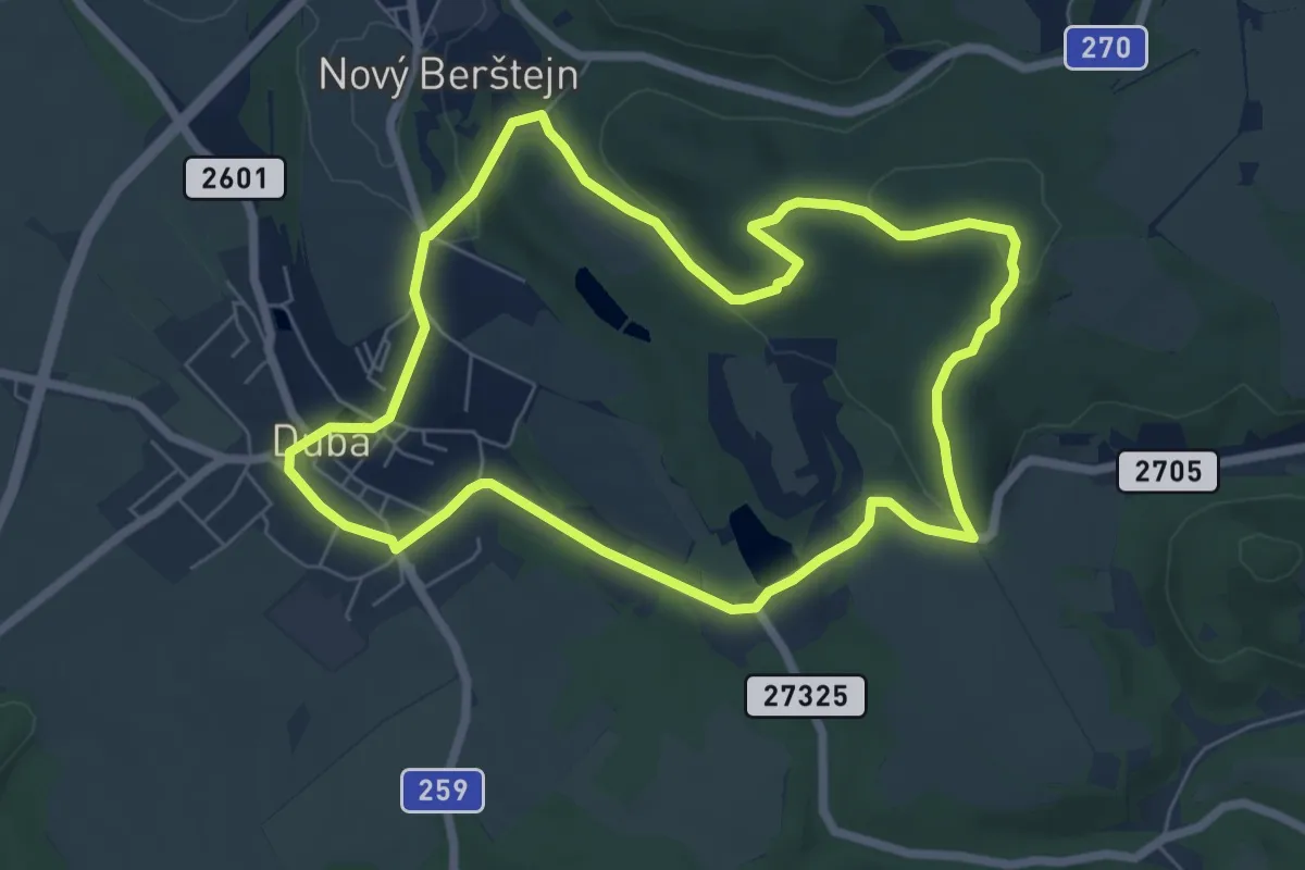
Easy · Trail
[Z] Dubá - místní okruh
6.1 km · ↑ 111 m · 1 h 46 min
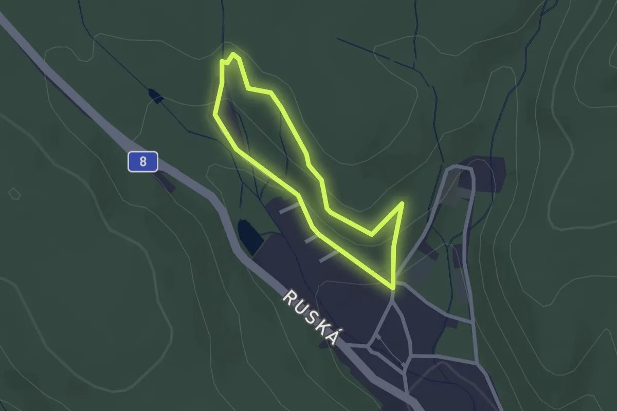
Easy · Trail
[Z] Dubský horní lázeňský okruh
1.7 km · ↑ 65 m · 33 min
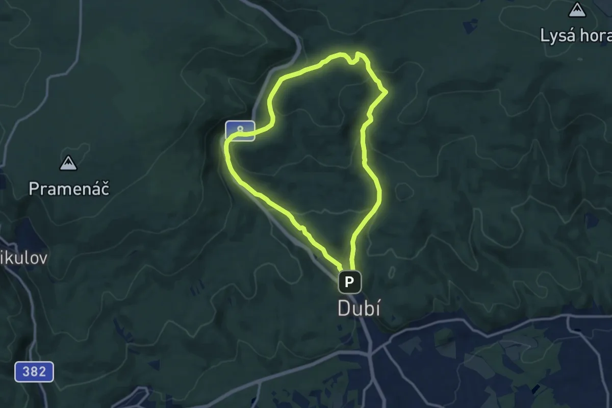
Medium · Summit
[Ž] Dubský severní okruh
9.3 km · ↑ 354 m · 3 h 5 min
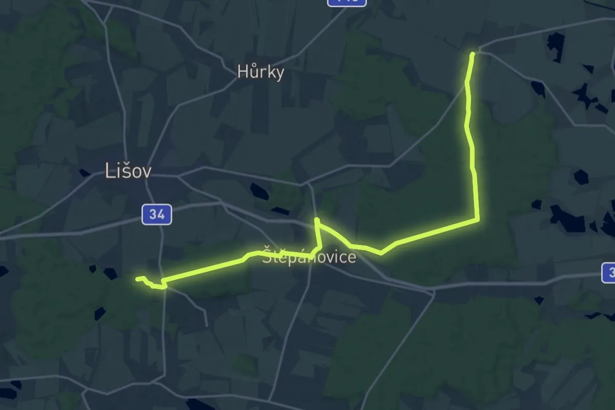
Demanding · Summit
[Ž] Dunajovice - Na Koníři
21.1 km · ↑ 197 m · 5 h 25 min
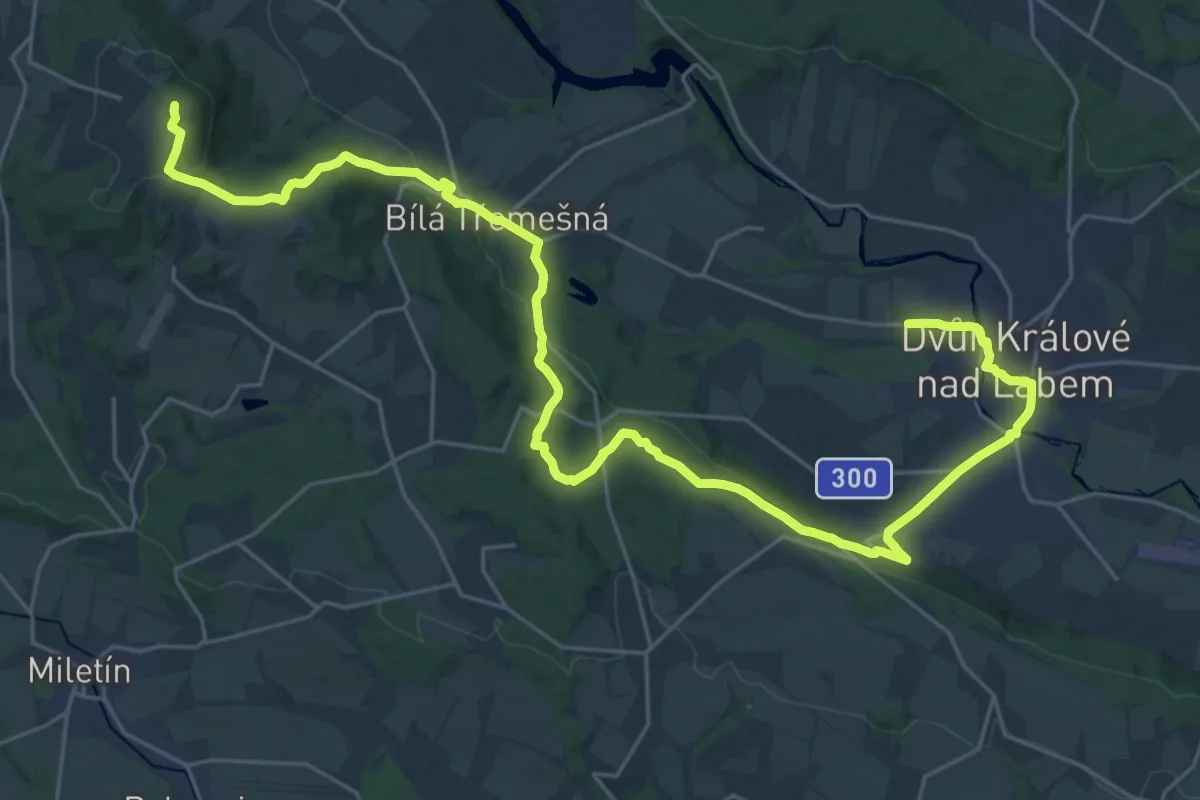
Demanding · Summit
[Z] Dvůr Králové nad Labem - Miletínské lázně
32.2 km · ↑ 737 m · 9 h 12 min
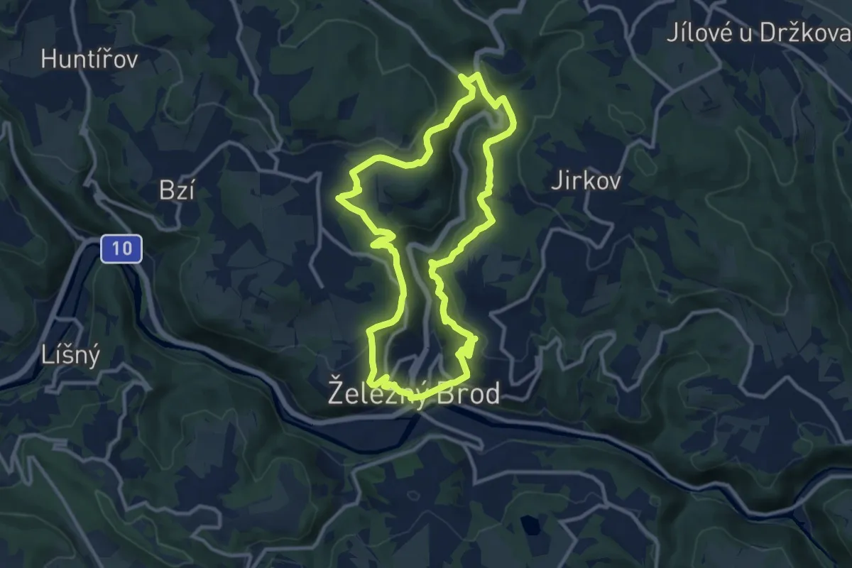
Medium · Trail
Železnobrodský okruh
10.6 km · ↑ 523 m · 3 h 46 min
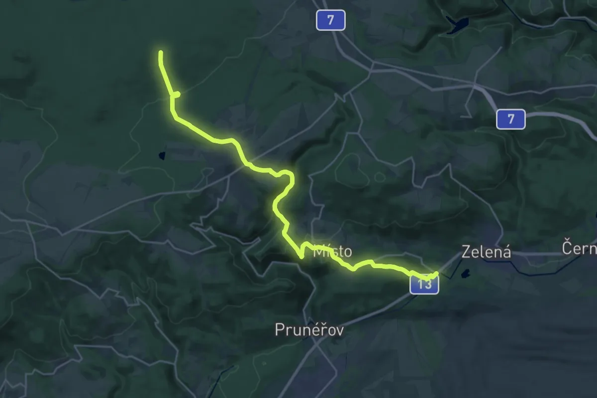
Demanding · Trail
[Ž] Farský les - Blahuňov
23.9 km · ↑ 635 m · 7 h 1 min
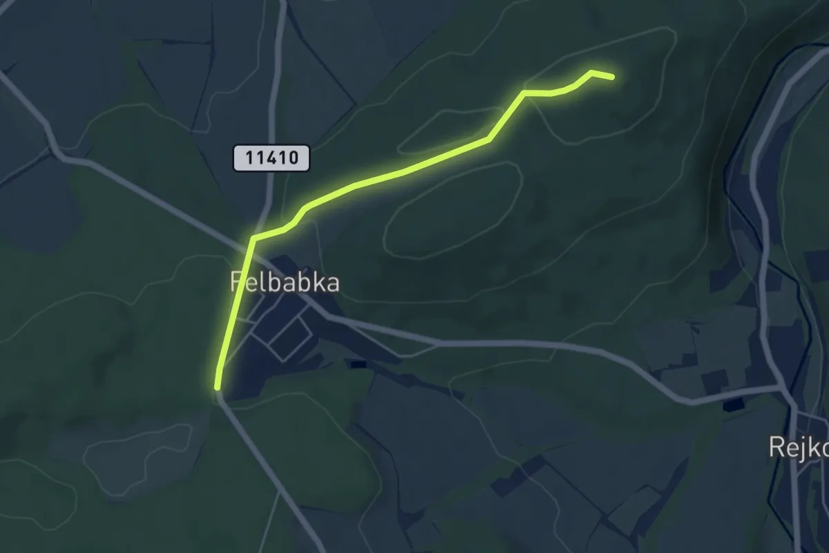
Easy · Summit
[Ž] Felbabka - Velká Baba
4.4 km · ↑ 108 m · 1 h 16 min
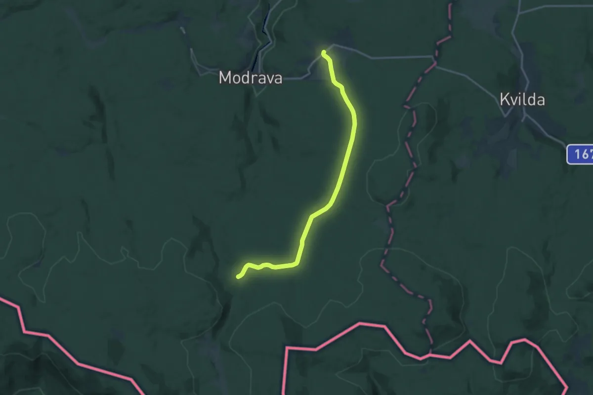
Medium · Trail
[Ž] Filipova Huť - Na ztraceném
13.6 km · ↑ 213 m · 3 h 41 min
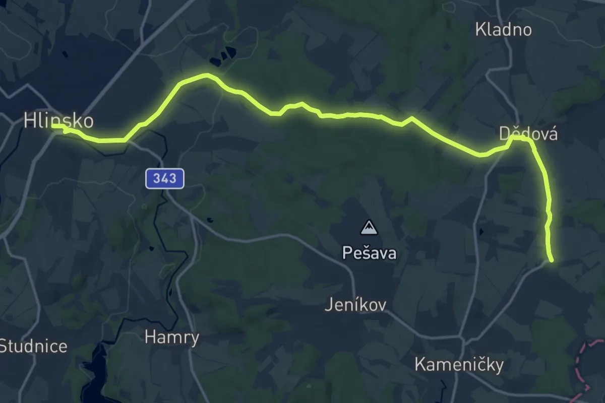
Medium · Trail
[Ž] Filipov - Hlinsko
16.5 km · ↑ 181 m · 4 h 17 min
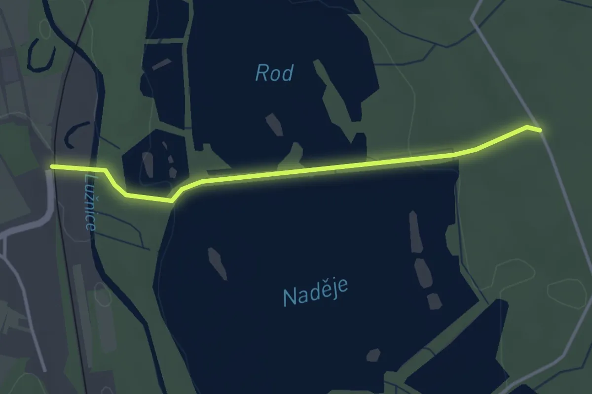
Easy · Trail
[Z] Frahelž - U Dubové louky
3.0 km · ↑ 29 m · 46 min
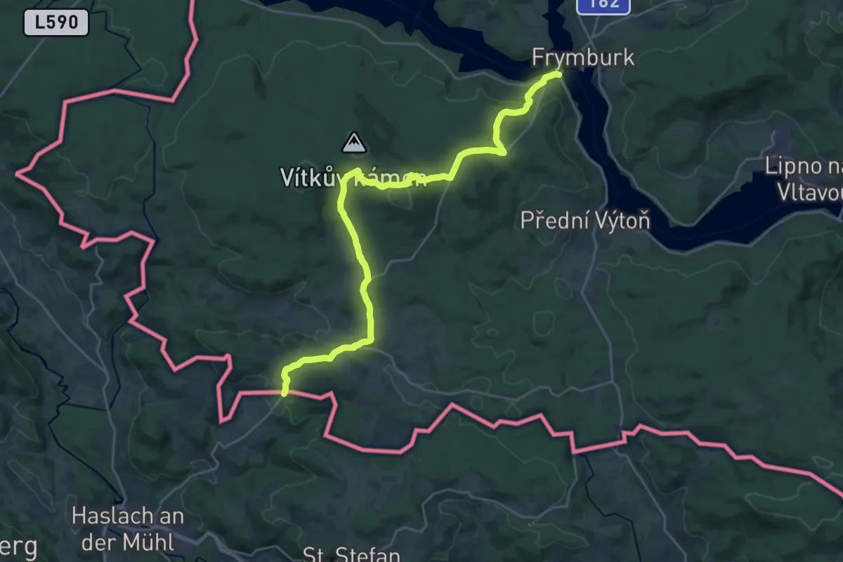
Demanding · Trail
[Ž] Frýdava - Svatý Tomáš - Pasečná
24.6 km · ↑ 632 m · 7 h 11 min
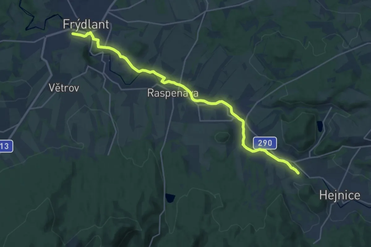
Medium · Trail
[Z] Frýdlant - Raspenava
17.6 km · ↑ 137 m · 4 h 28 min
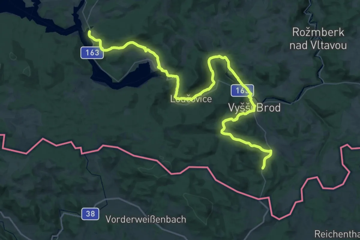
Demanding · Trail
[Z] Frymburk - Studánky
27.5 km · ↑ 580 m · 8 h 9 min
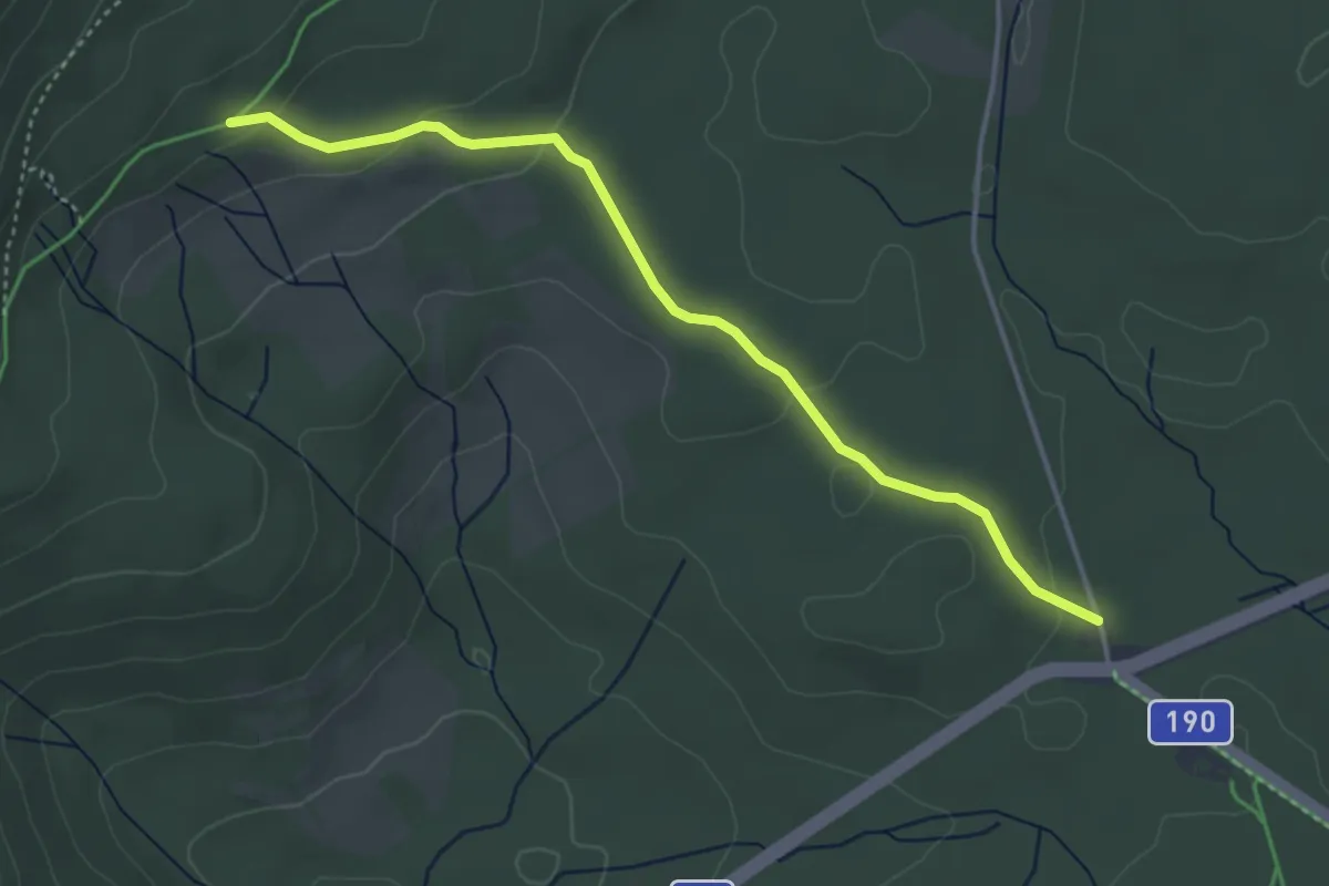
Easy · Trail
[Ž] Gerlova Huť - prameniště Řezné
3.8 km · ↑ 88 m · 1 h 6 min