Trails in Czech Republic
4,056 hiking trails, each with its route, climb, walking time and grade.
All trails, page 65 of 85
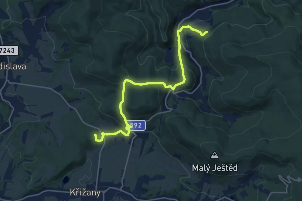
Medium · Summit
[Z] Kryštofovo Údolí - Křižany (bus)
12.3 km · ↑ 564 m · 4 h 7 min
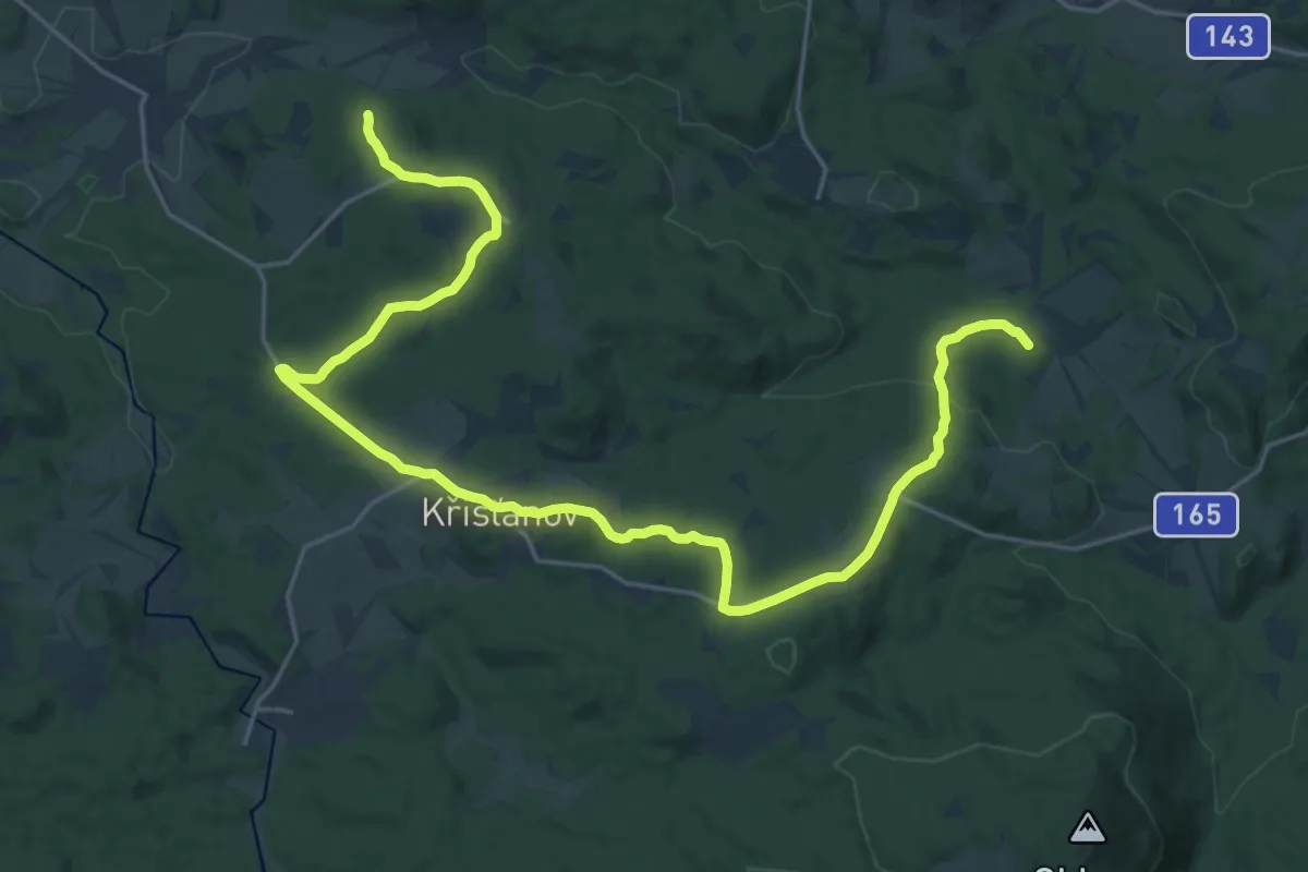
Demanding · Summit
[Ž] Ktiš - Křišt'anov
27.3 km · ↑ 707 m · 7 h 59 min
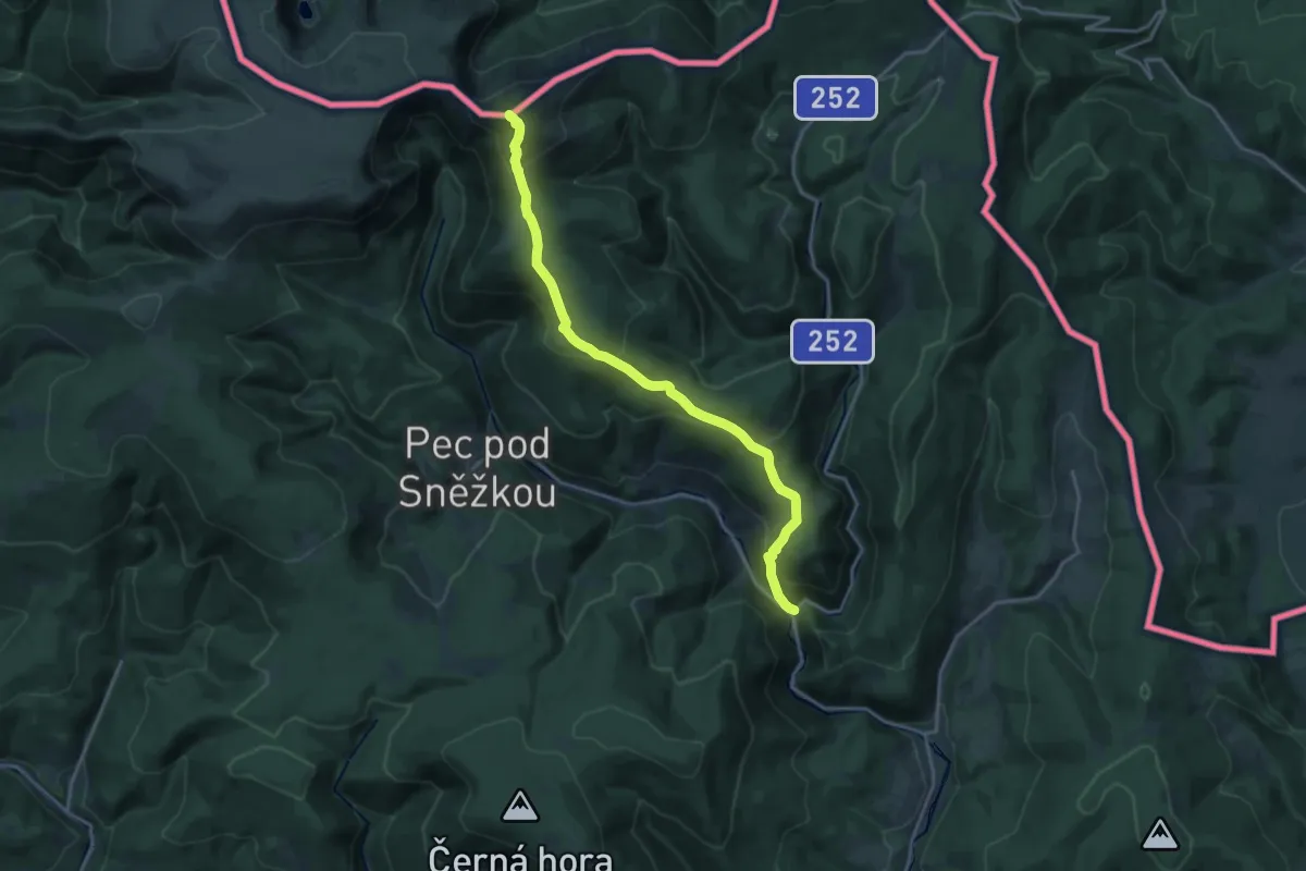
Demanding · Summit
[Ž] Kubátova cesta
18.1 km · ↑ 958 m · 6 h 21 min
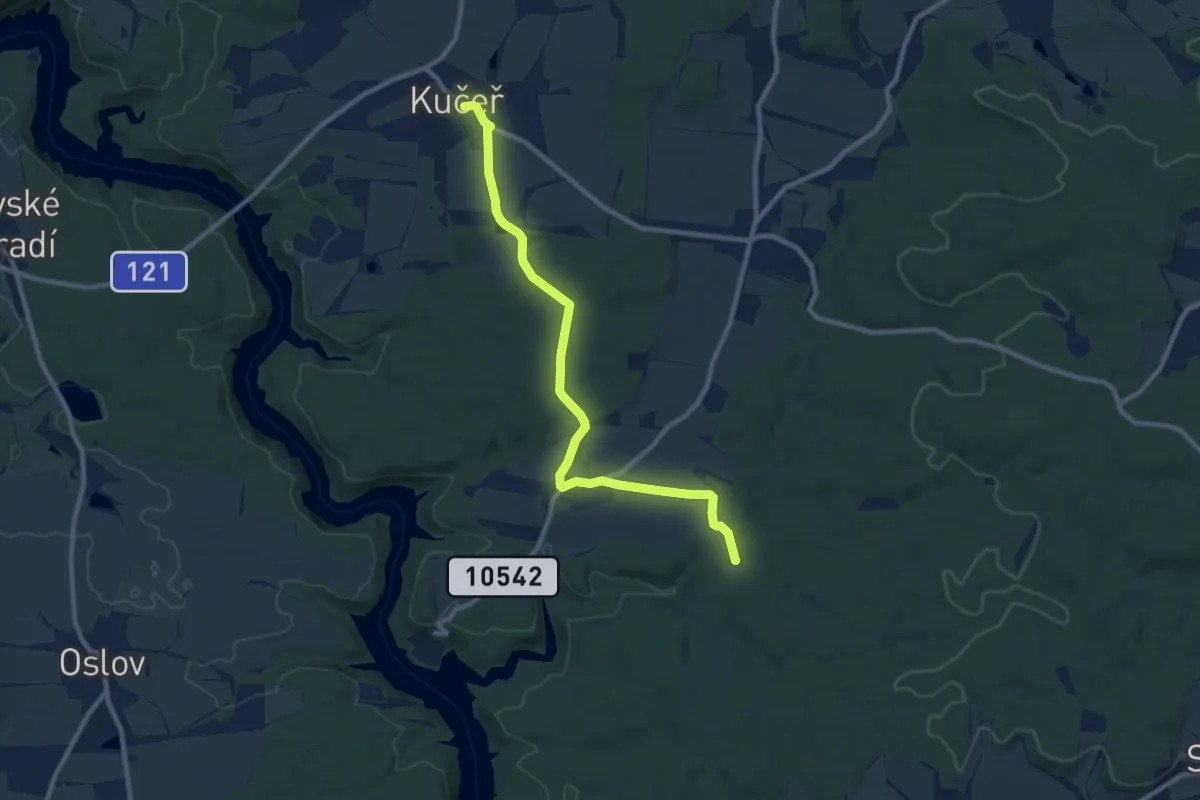
Medium · Trail
[Ž] Kučeř - Vůsí
9.3 km · ↑ 107 m · 2 h 26 min
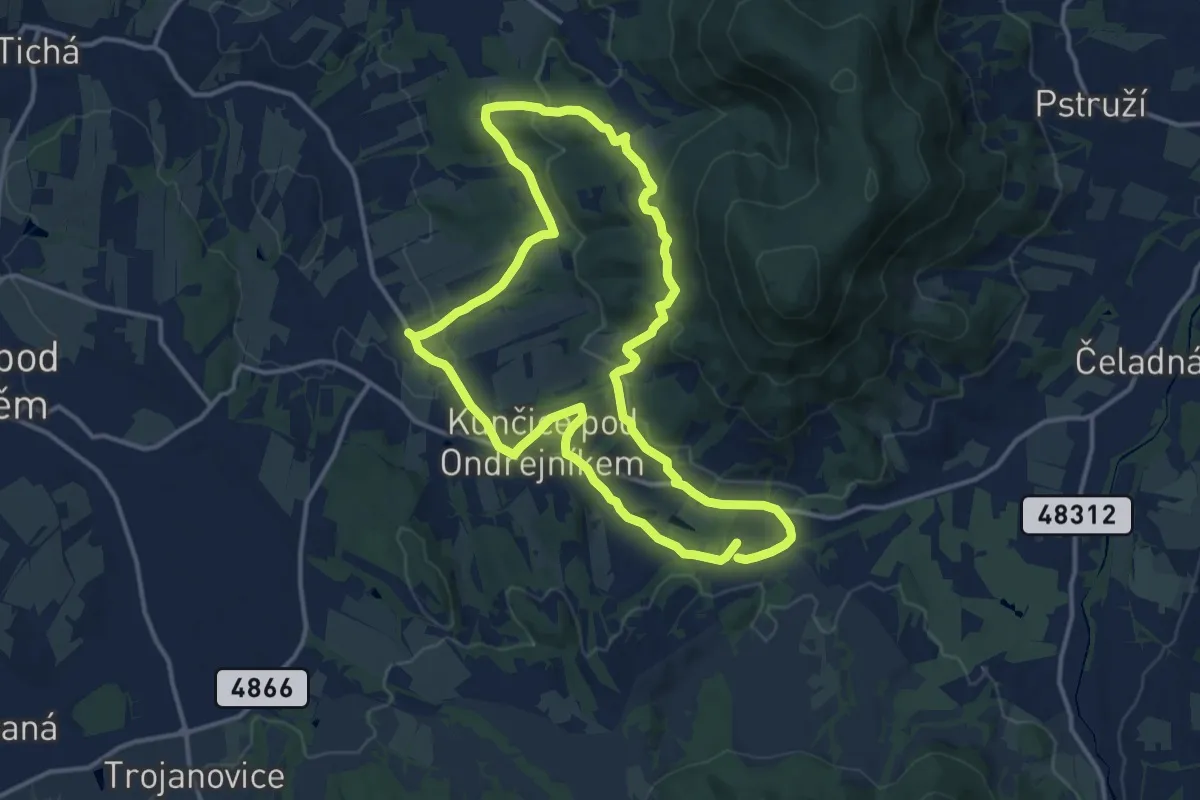
Medium · Summit
[Z] Kunčice pod Ondřejníkem (okruh)
12.6 km · ↑ 354 m · 3 h 56 min
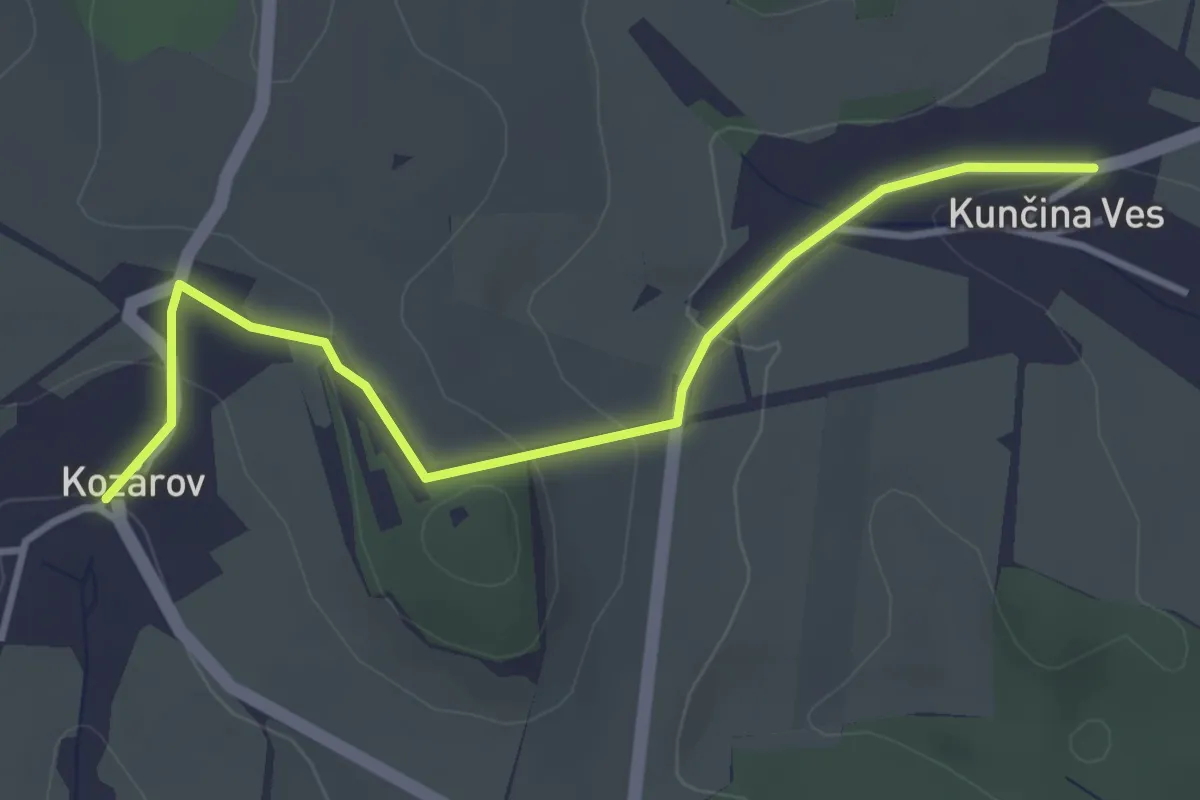
Easy · Trail
[Z] Kunčina Ves - Kozárov
3.5 km · ↑ 127 m · 1 h 7 min
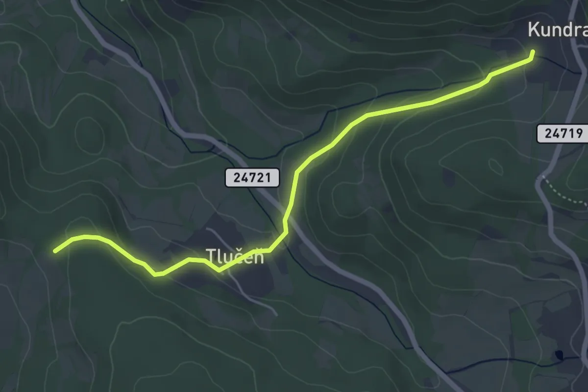
Easy · Trail
[Ž] Kundratice - Pod Trabicí
4.7 km · ↑ 171 m · 1 h 29 min
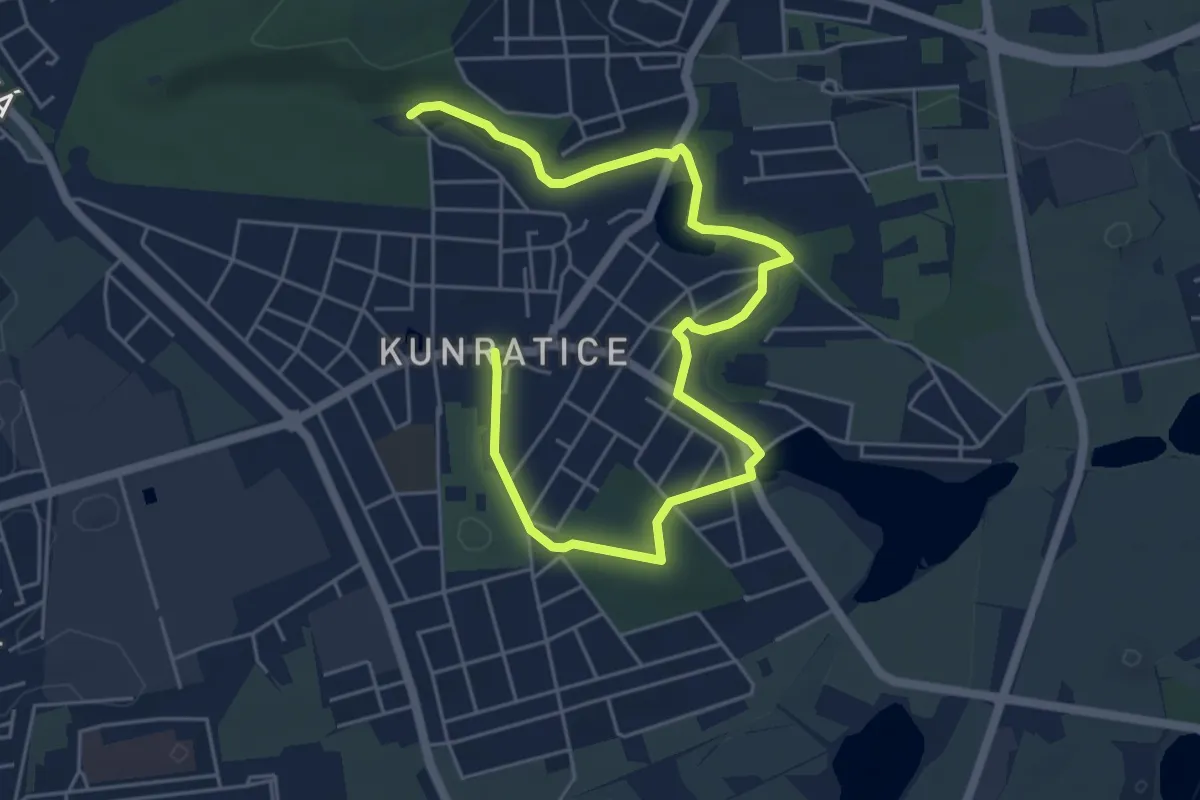
Easy · Trail
[Z] Kunratice - Dolnomlýnský rybník
6.6 km · ↑ 50 m · 1 h 40 min
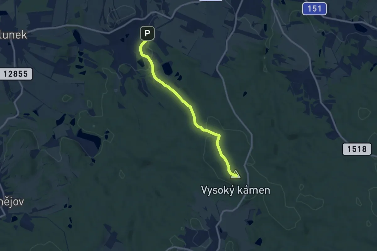
Easy · Summit
[Ž] Kunžak Lomy - Pod Vysokým kamenem
7.3 km · ↑ 138 m · 2 h 1 min
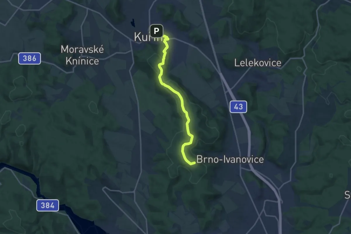
Medium · Summit
[Ž] Kuřim - Královo Pole
11.6 km · ↑ 241 m · 3 h 15 min
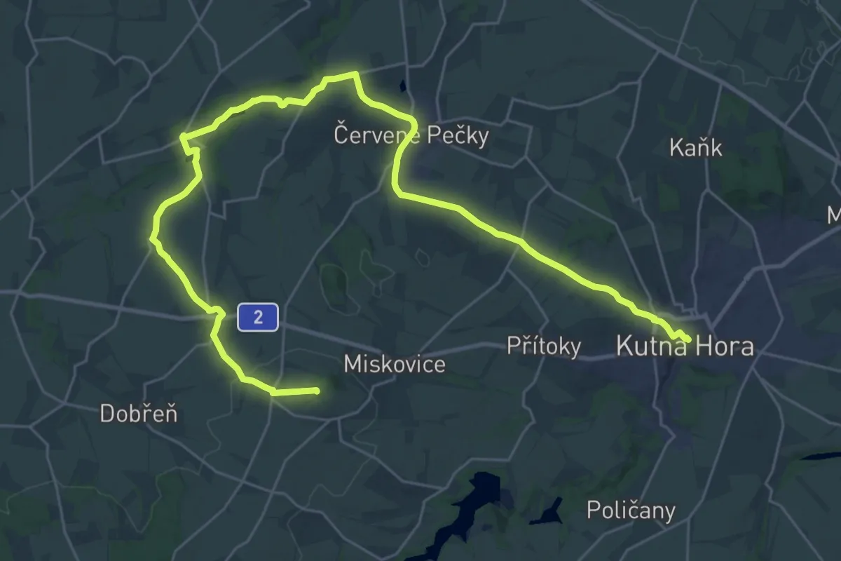
Demanding · Summit
[Z] Kutná Hora - Bylany
34.4 km · ↑ 502 m · 9 h 13 min
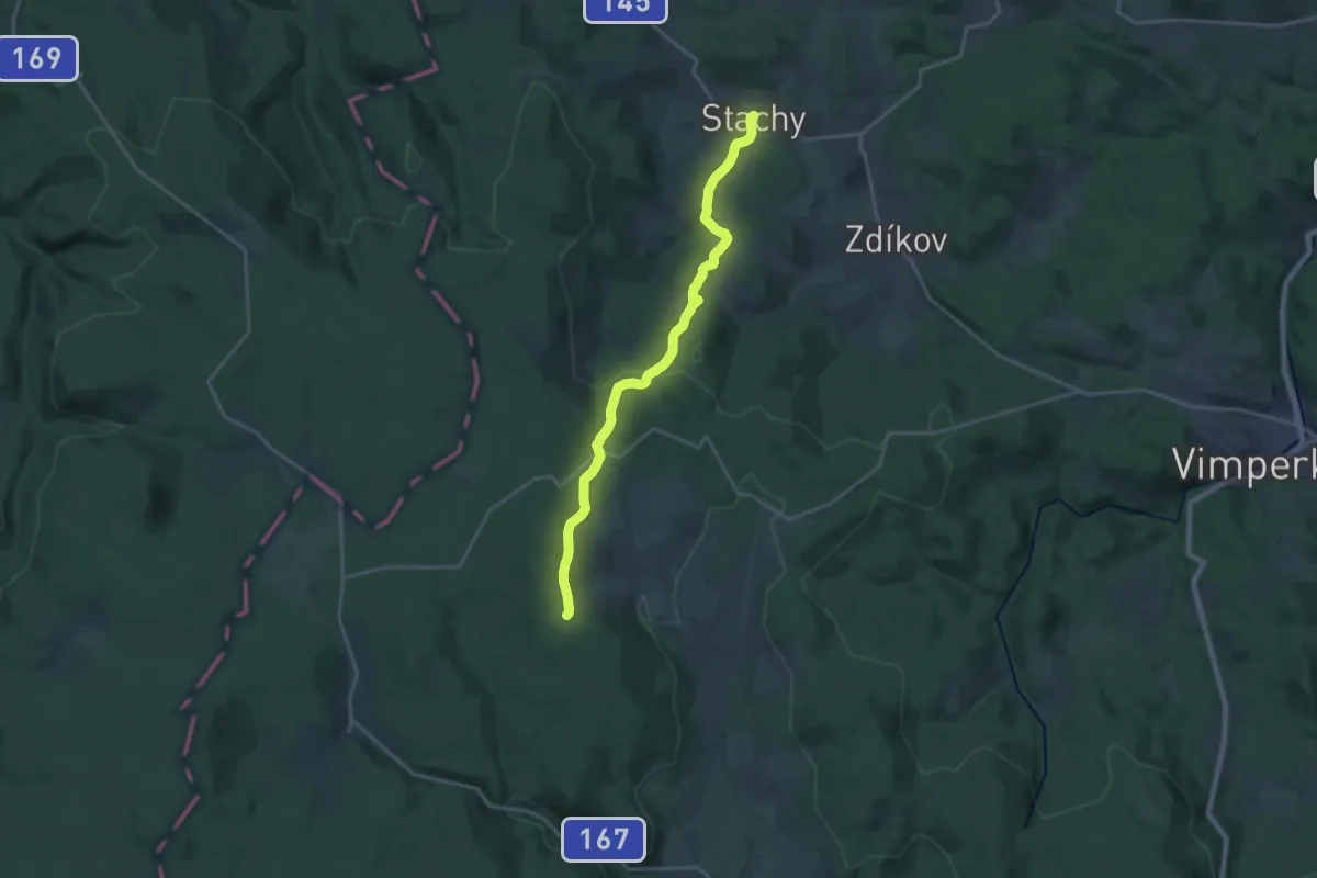
Demanding · Trail
[Z] Kvilda - Stachy
19.4 km · ↑ 512 m · 5 h 42 min
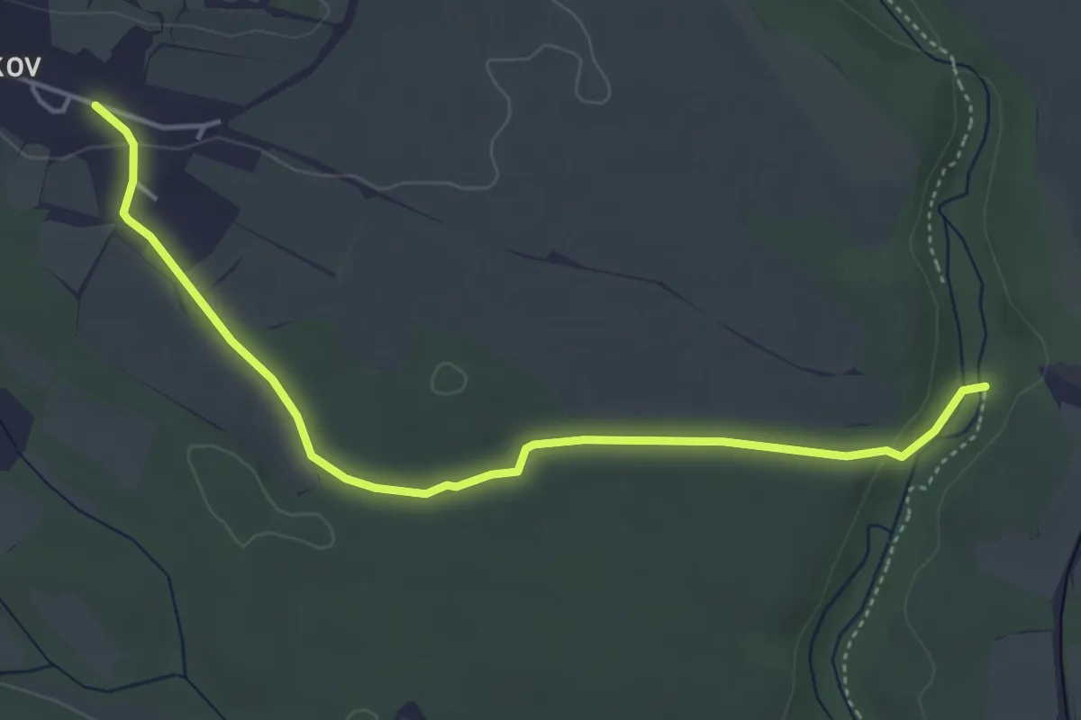
Easy · Trail
[Ž] Kvítkov - Nový Dvůr v Pekle
4.4 km · ↑ 42 m · 1 h 8 min
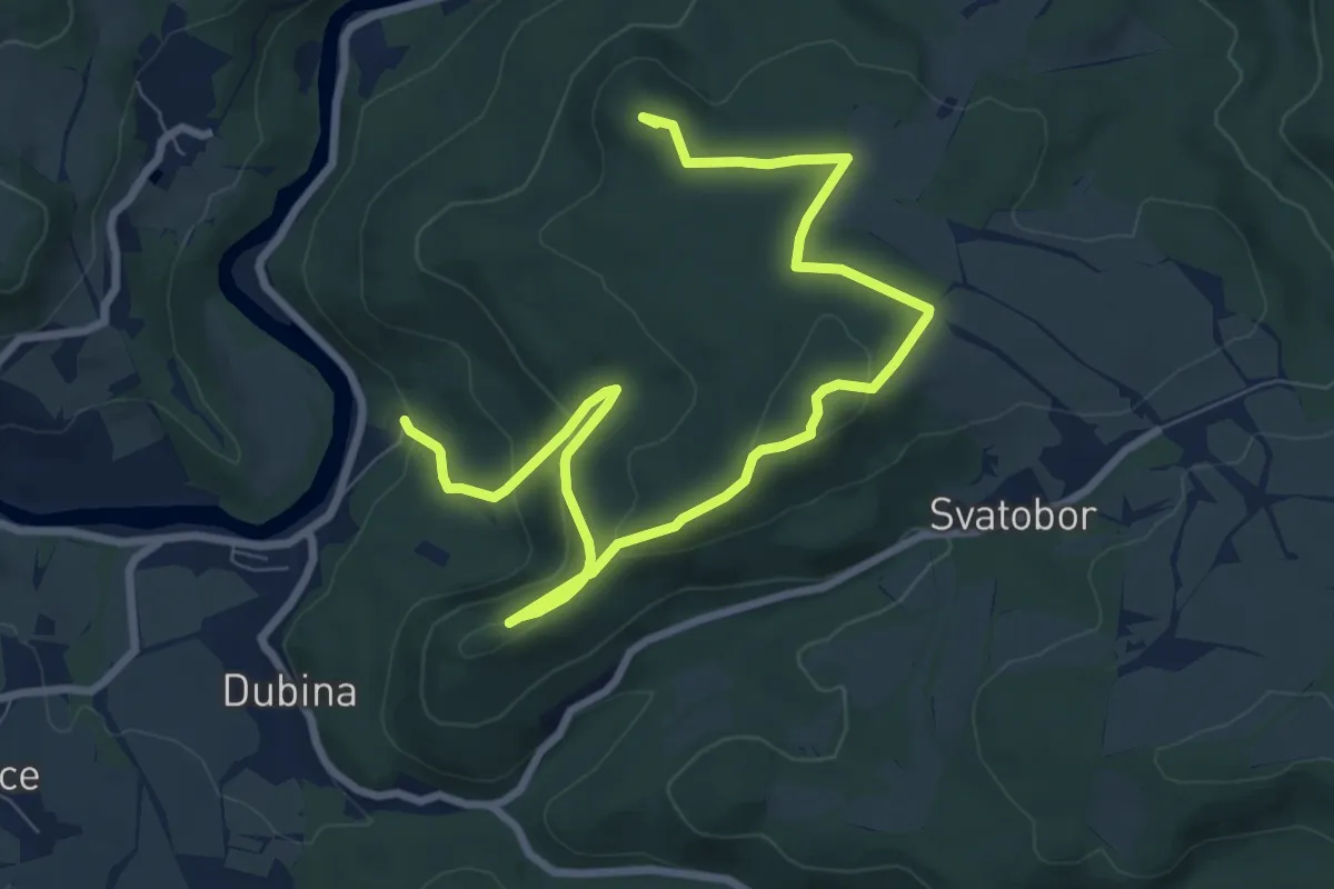
Medium · Summit
[Ž] Kyselka - Skalky skřítků
10.2 km · ↑ 321 m · 3 h 6 min
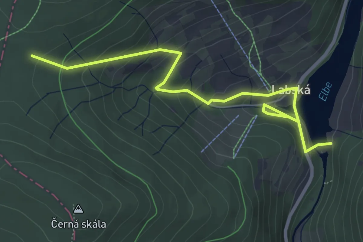
Easy · Trail
[Ž] Labská přehrada hráz. - Pod Černou skálou
5.8 km · ↑ 291 m · 2 h
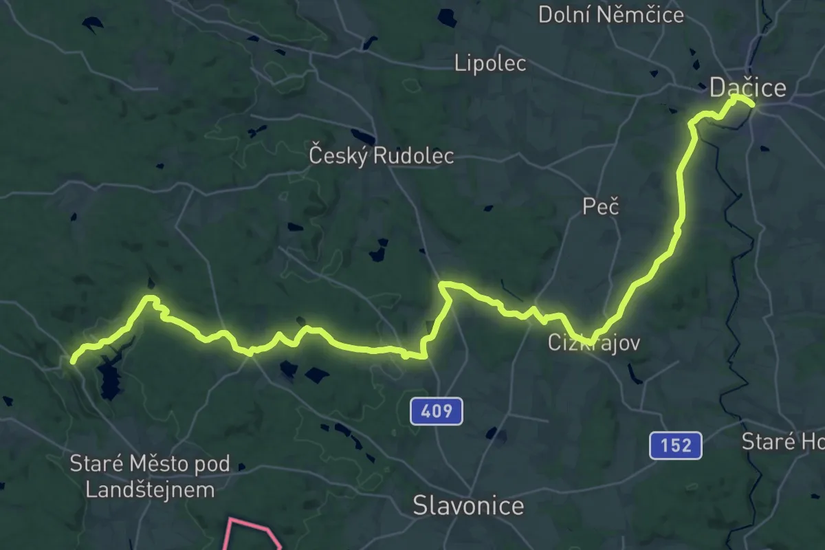
Demanding · Trail
[Ž] Landštejn - Dačice
24.0 km · ↑ 294 m · 6 h 44 min
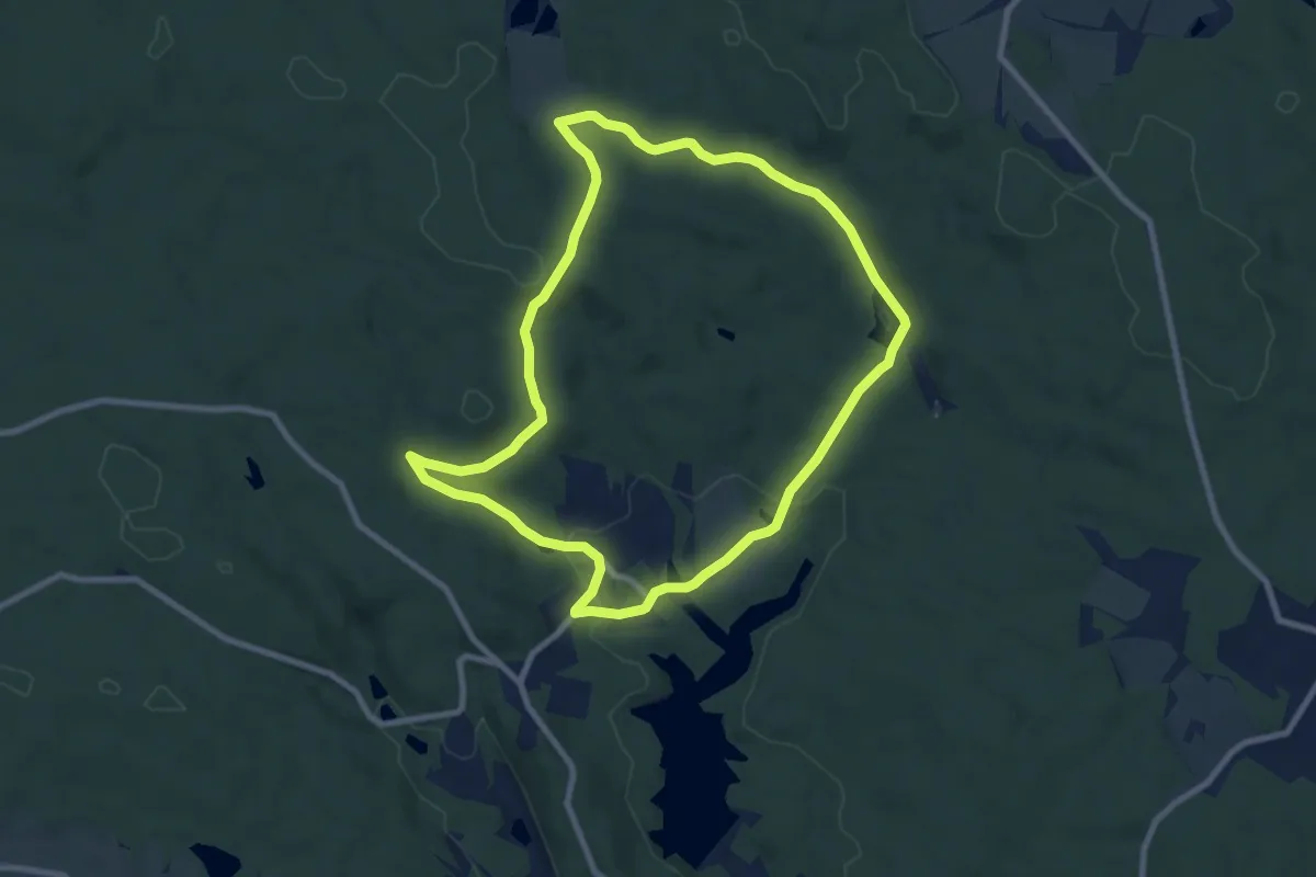
Medium · Trail
[Z] Landštejnský okruh
8.1 km · ↑ 194 m · 2 h 27 min
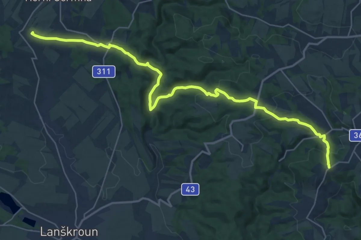
Demanding · Summit
[Ž] Lanšperk-Mariánská hora
24.4 km · ↑ 752 m · 7 h 23 min
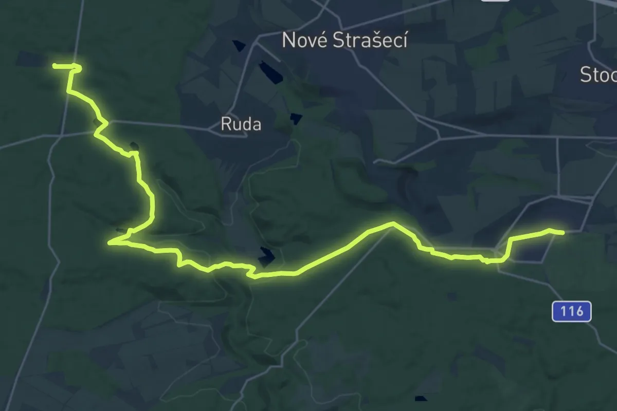
Demanding · Trail
[Ž] Lány - Řevničov
27.5 km · ↑ 441 m · 7 h 27 min
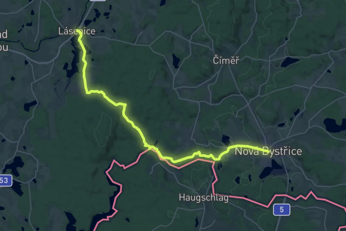
Medium · Trail
[Z] Lásenice - Nová Bystřice
15.9 km · ↑ 313 m · 4 h 35 min
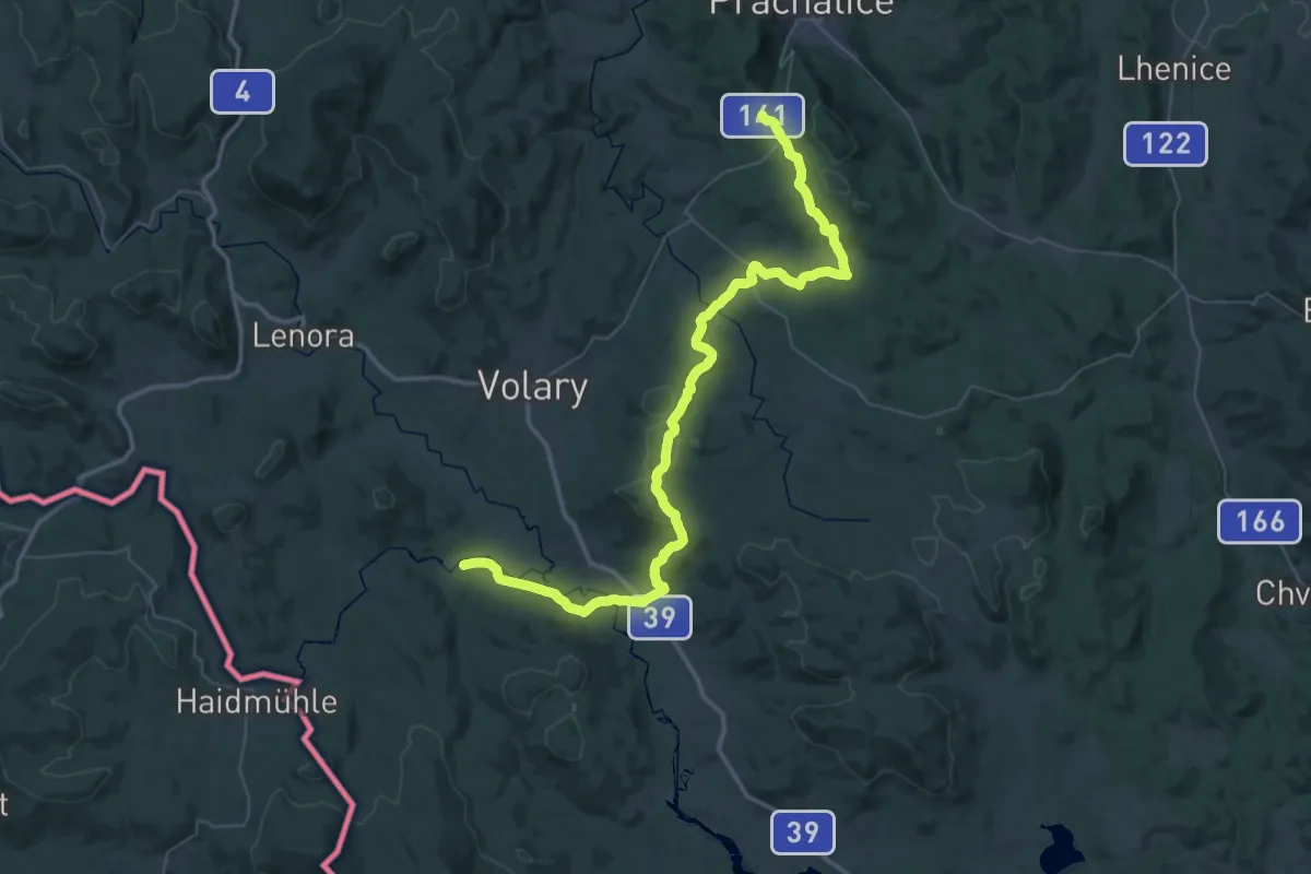
Demanding · Trail
Zlatá stezka
28.4 km · ↑ 520 m · 8 h 17 min
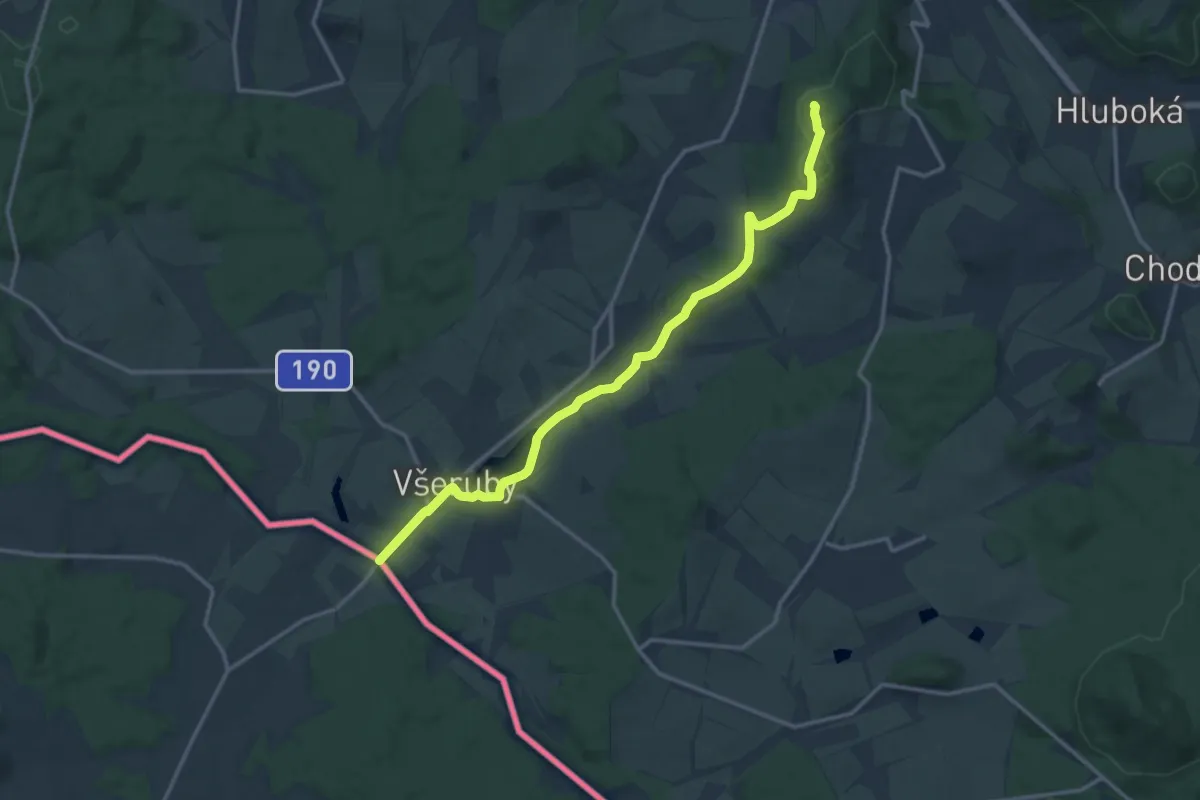
Medium · Summit
Zlatá stezka
13.8 km · ↑ 291 m · 3 h 54 min
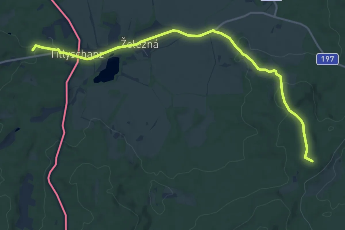
Medium · Summit
Zlatá stezka
10.3 km · ↑ 203 m · 2 h 53 min
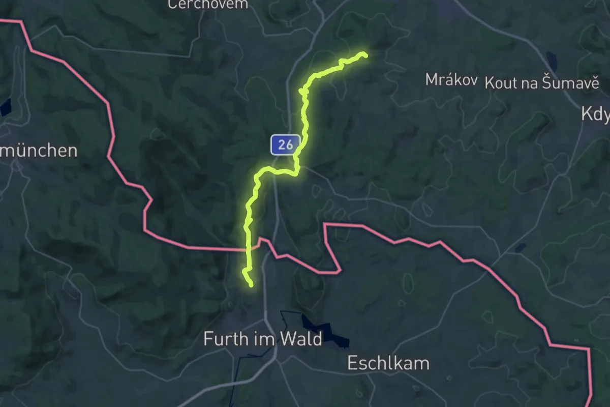
Demanding · Summit
Zlatá stezka
29.3 km · ↑ 706 m · 8 h 27 min
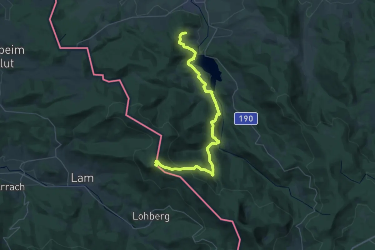
Demanding · Summit
Zlatá stezka
30.8 km · ↑ 1263 m · 10 h
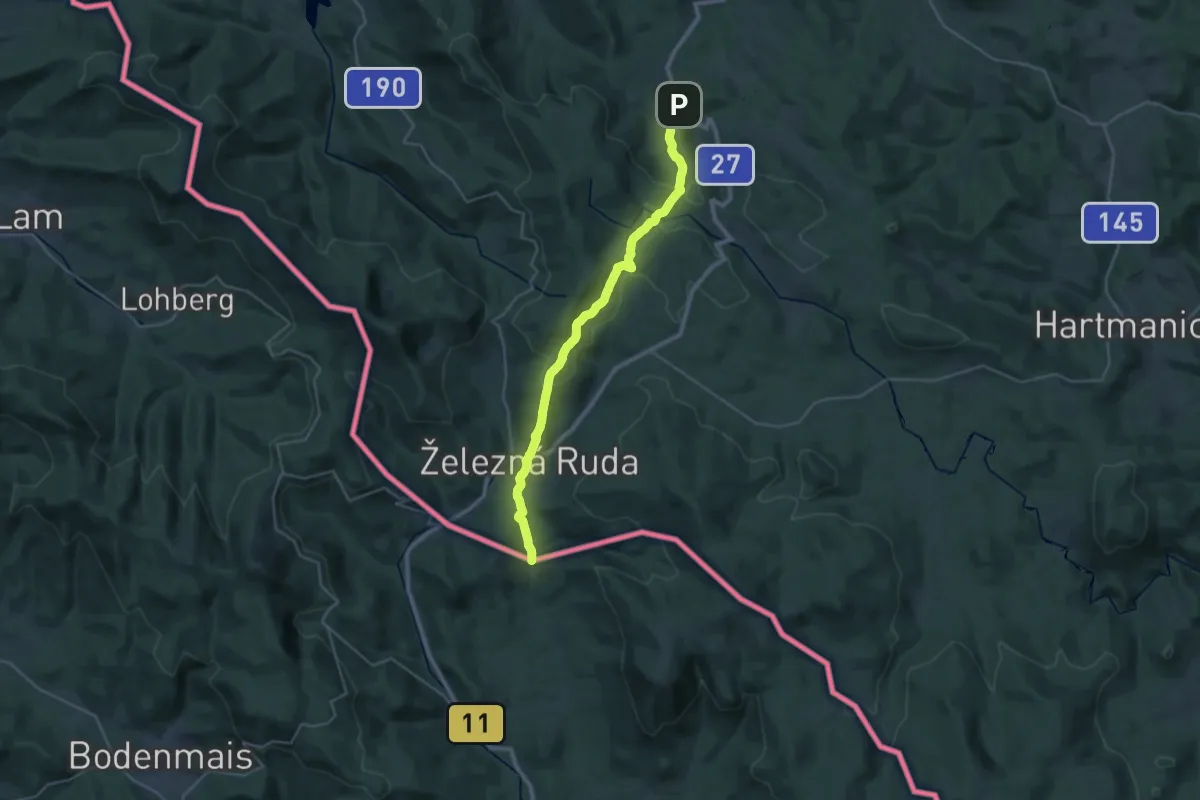
Medium · Trail
Zlatá stezka
14.6 km · ↑ 421 m · 4 h 34 min
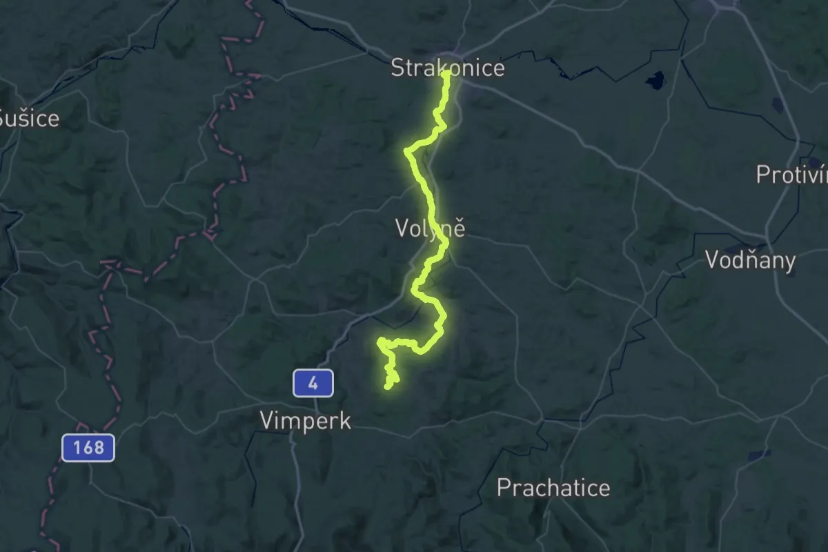
Demanding · Summit
Zlatá stezka
68.0 km · ↑ 1526 m · 19 h 22 min
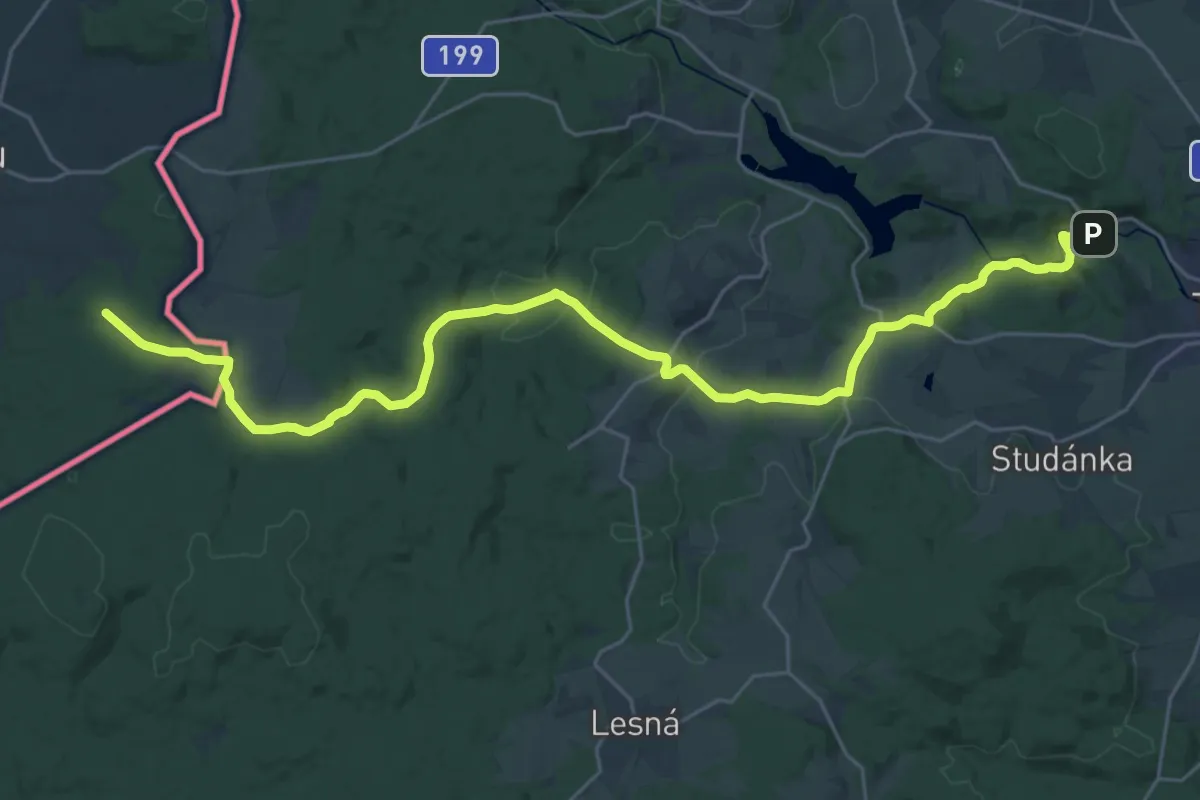
Medium · Trail
Zlatá stezka Bärnau – Tachov
14.6 km · ↑ 433 m · 4 h 28 min
Medium · Trail
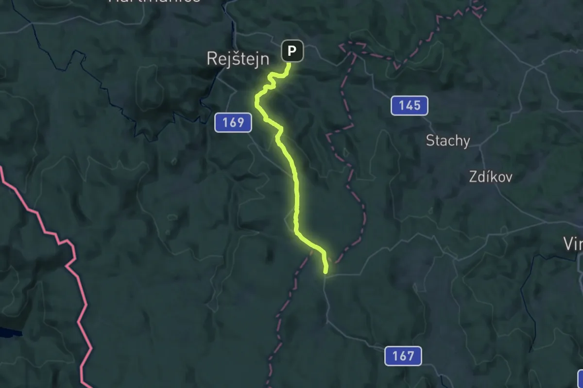
Zlatá stezka Mauth - Kašperské Hory
15.3 km · ↑ 617 m · 4 h 59 min
Medium · Summit
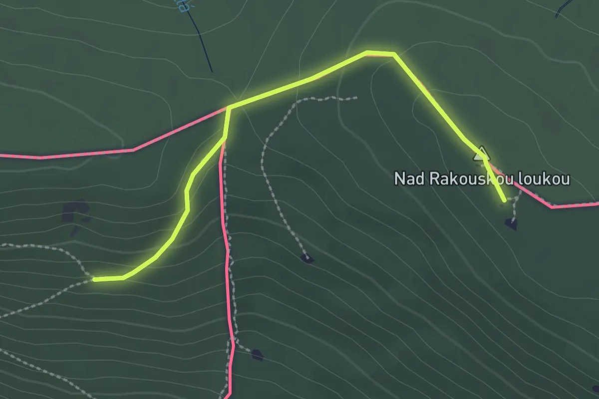
Zlatá stezka Trojmezí - Černý Kříž
2.4 km · ↑ 104 m · 48 min
Demanding · Summit
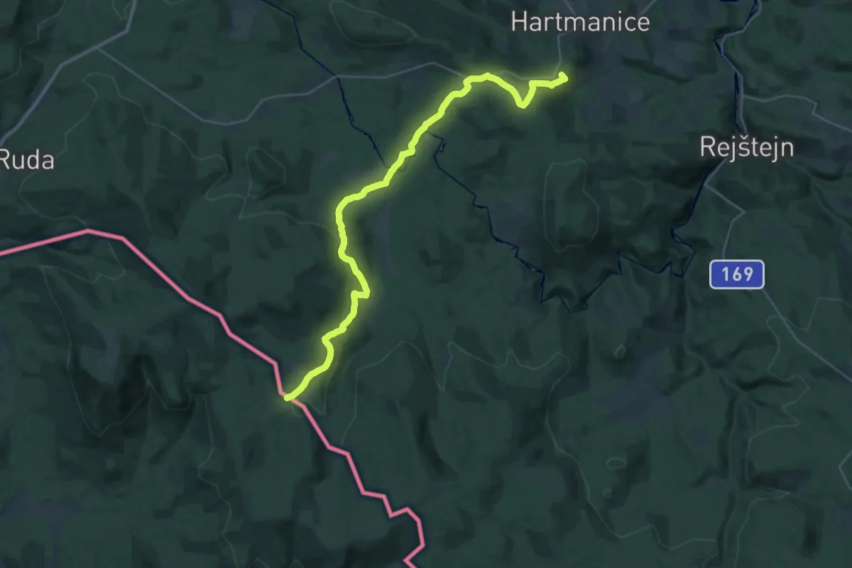
Zlatá stezka Zwiesel - Hartmanice
31.1 km · ↑ 858 m · 9 h 12 min
Easy · Trail
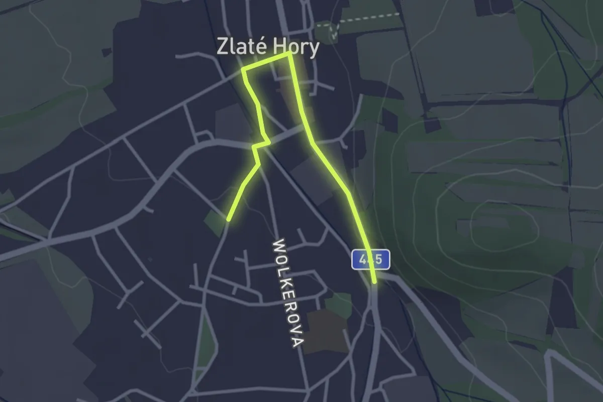
Zlatohorská hornická naučná stezka
2.8 km · ↑ 29 m · 43 min
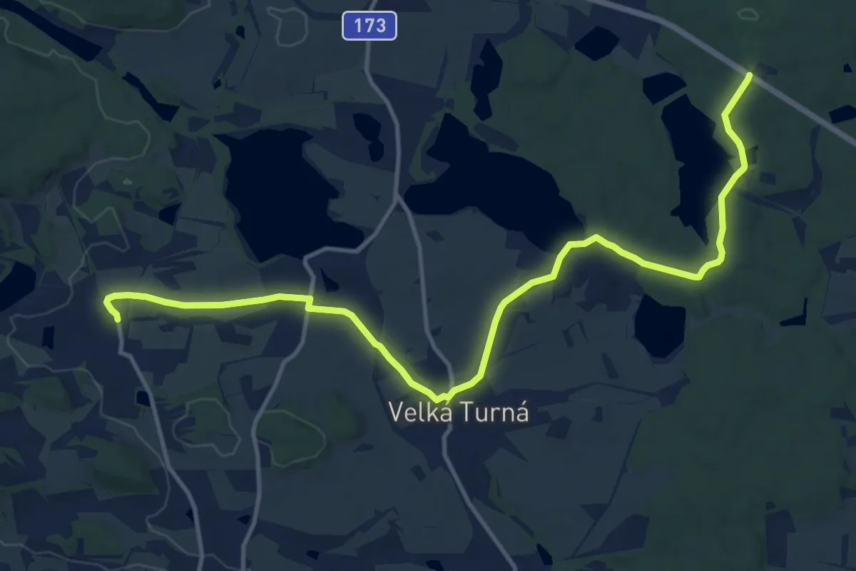
Medium · Trail
[Ž] Láz - Milavy - sedlická obora
14.0 km · ↑ 149 m · 3 h 38 min
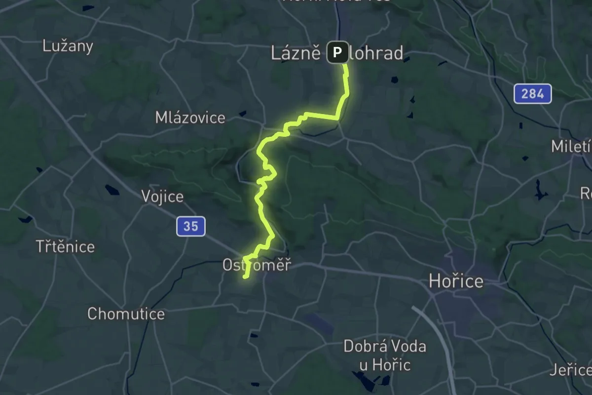
Demanding · Trail
[Z] Lázně Bělohrad - Ostroměř
21.5 km · ↑ 302 m · 5 h 44 min
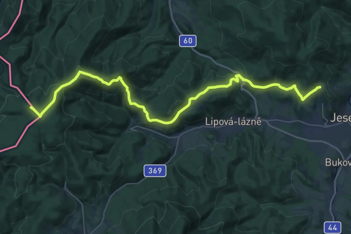
Demanding · Summit
[Ž] Lázně Jeseník - Špičák
32.5 km · ↑ 949 m · 9 h 43 min
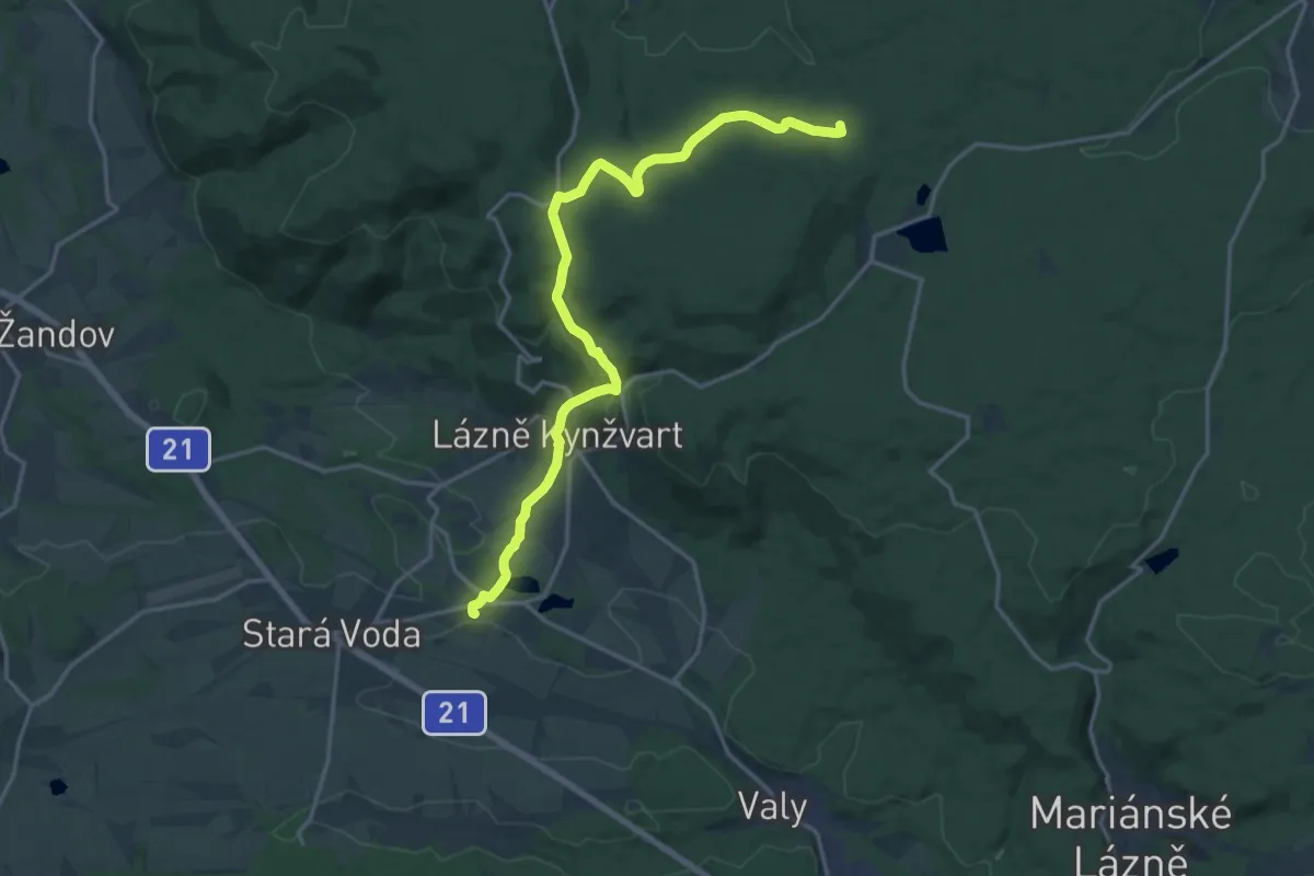
Medium · Summit
[Ž] Lázně Kynžvart (žst) - Horní sedlo
17.3 km · ↑ 395 m · 4 h 57 min
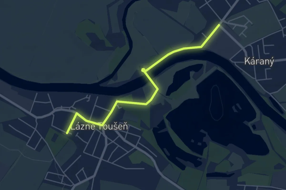
Easy · Trail
[Ž] Lázně Toušeň - Káraný
4.6 km · ↑ 26 m · 1 h 9 min
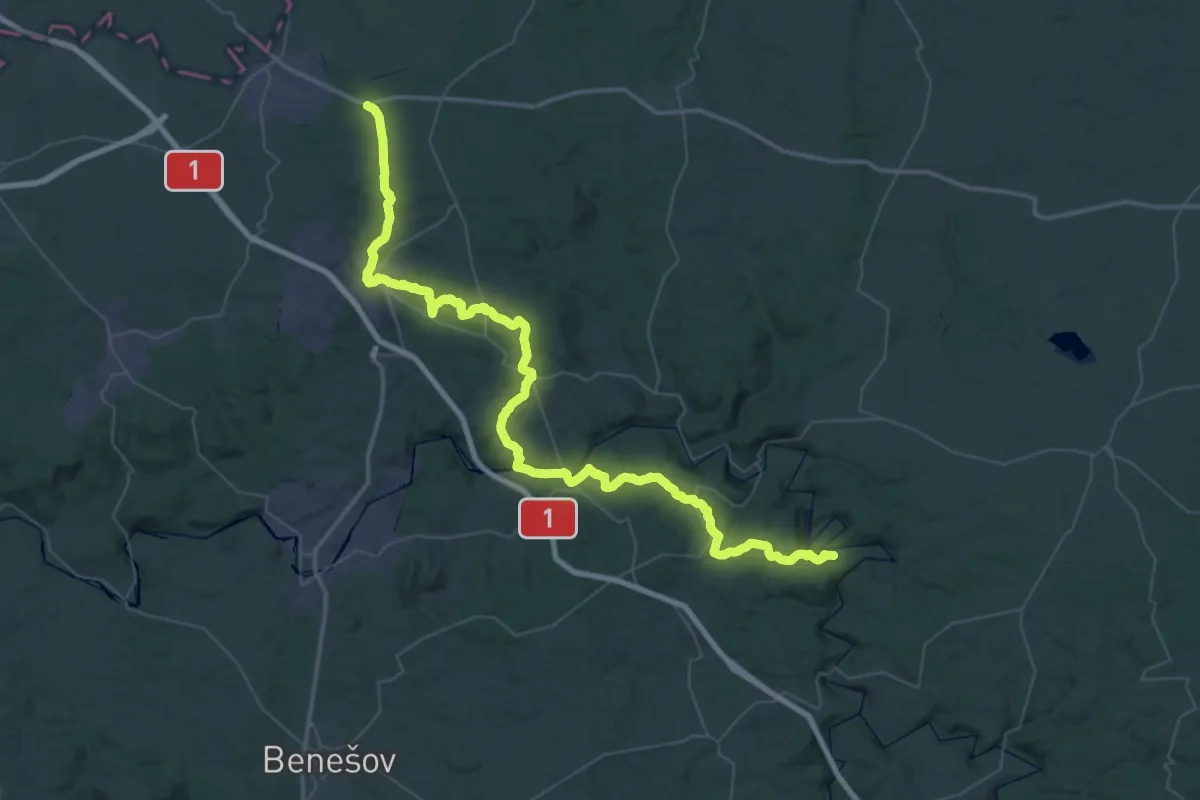
Demanding · Trail
[Ž] Ledečko - Vojkov
35.4 km · ↑ 814 m · 10 h 34 min
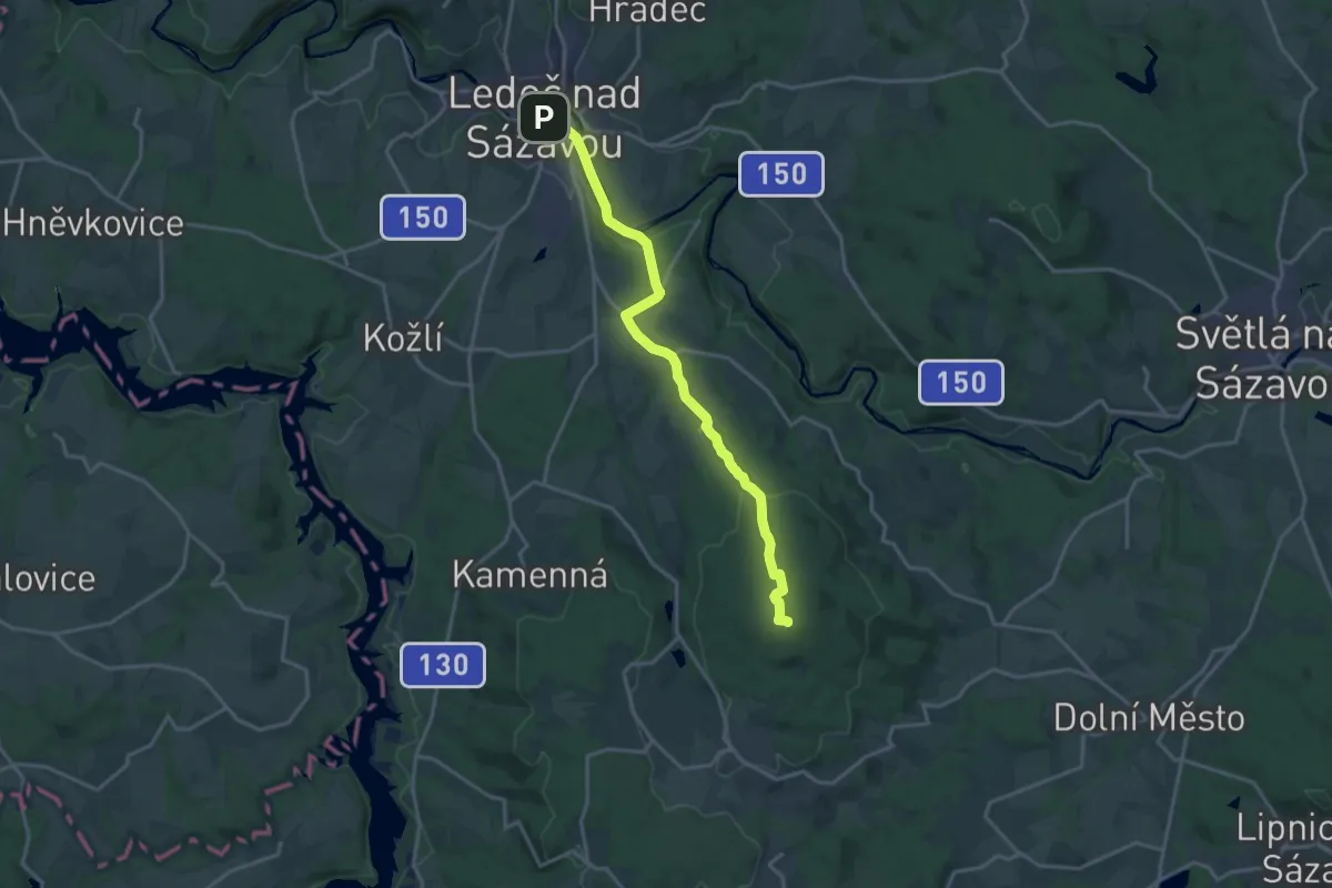
Medium · Summit
[Z] Ledeč n. Sázavou - Okrouhlice
16.4 km · ↑ 503 m · 4 h 57 min
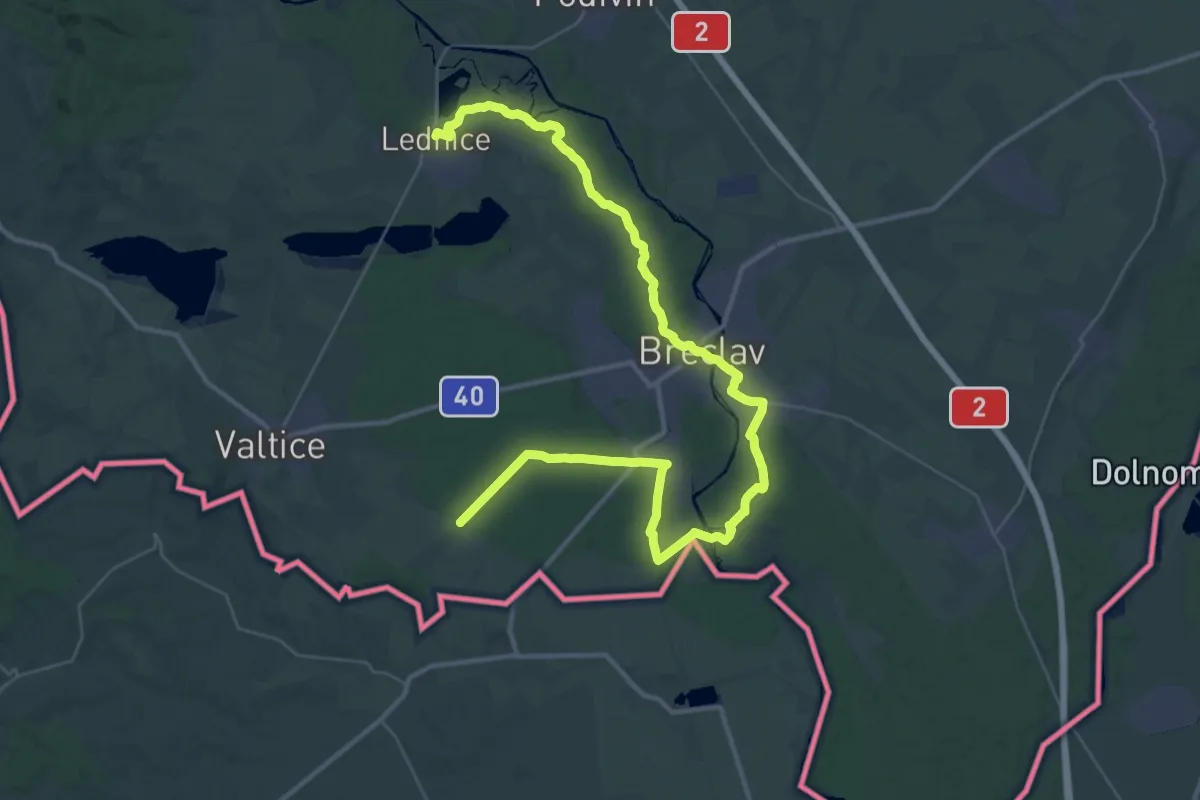
Demanding · Trail
[Z] Lednice - Pod Bořím dvorem
24.5 km · ↑ 108 m · 6 h 21 min
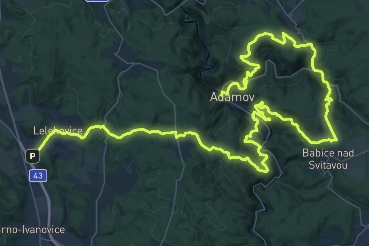
Demanding · Trail
[Ž] Lelekovice - Adamov (žst.)
27.8 km · ↑ 913 m · 8 h 56 min
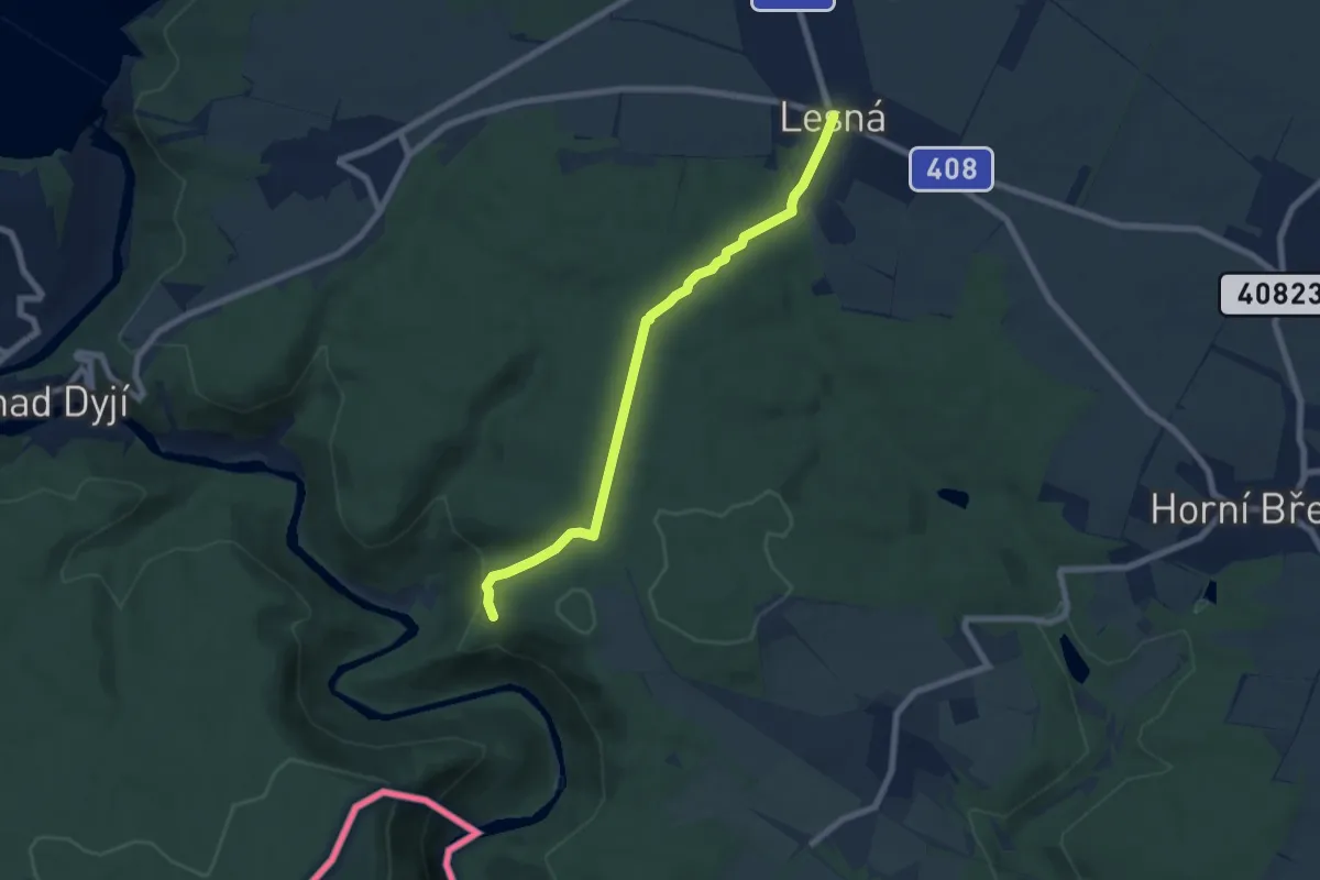
Easy · Trail
[Ž] Lesná - Ledové sluje - vyhlídka
6.6 km · ↑ 147 m · 1 h 53 min
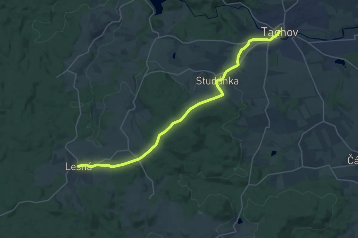
Demanding · Trail
[Ž] Lesná - Tachov (nám.)
19.0 km · ↑ 456 m · 5 h 29 min
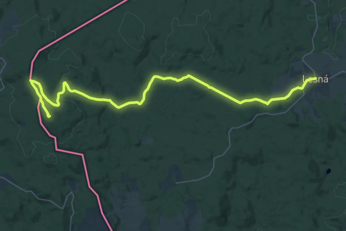
Demanding · Summit
[Z] Lesná - Zlatý potok
28.4 km · ↑ 527 m · 7 h 51 min
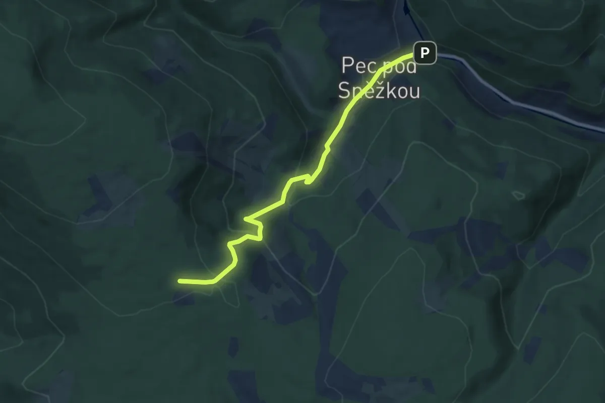
Medium · Cabin
[Ž] Lesní bouda - Pec pod Sněžkou
7.2 km · ↑ 331 m · 2 h 25 min
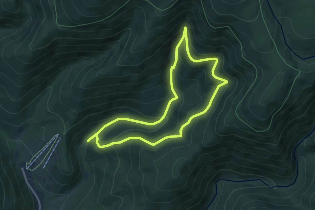
Medium · Trail
[Z] Lesní ekostezka Švagrov
5.8 km · ↑ 414 m · 2 h 20 min
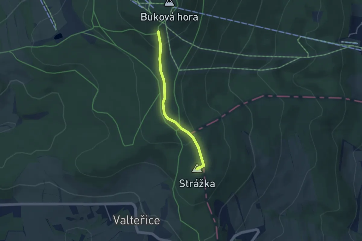
Easy · Summit
[Z] Letohrad-Orlice - Lanškroun
2.7 km · ↑ 87 m · 50 min
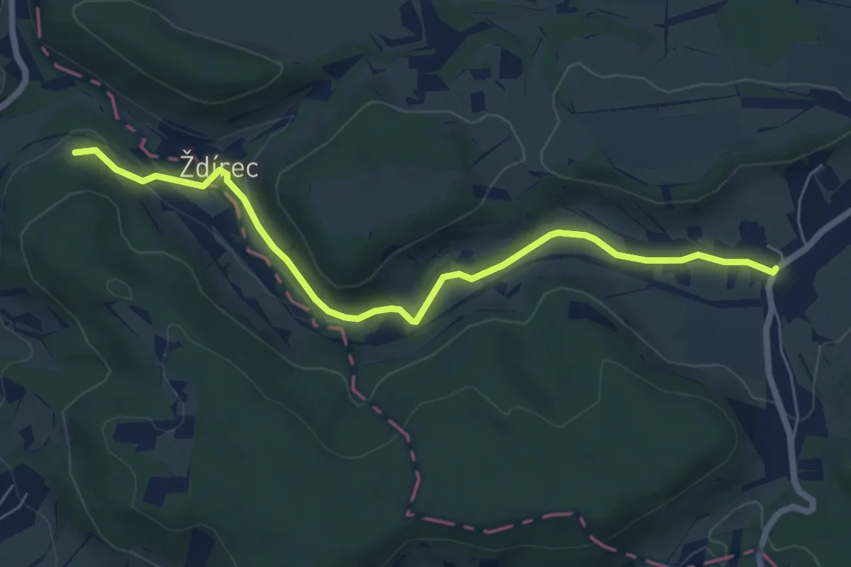
Easy · Trail
[Z] Levínská Olešnice - Kovač
6.1 km · ↑ 53 m · 1 h 33 min