Trails in Czech Republic
4,056 hiking trails, each with its route, climb, walking time and grade.
All trails, page 67 of 85
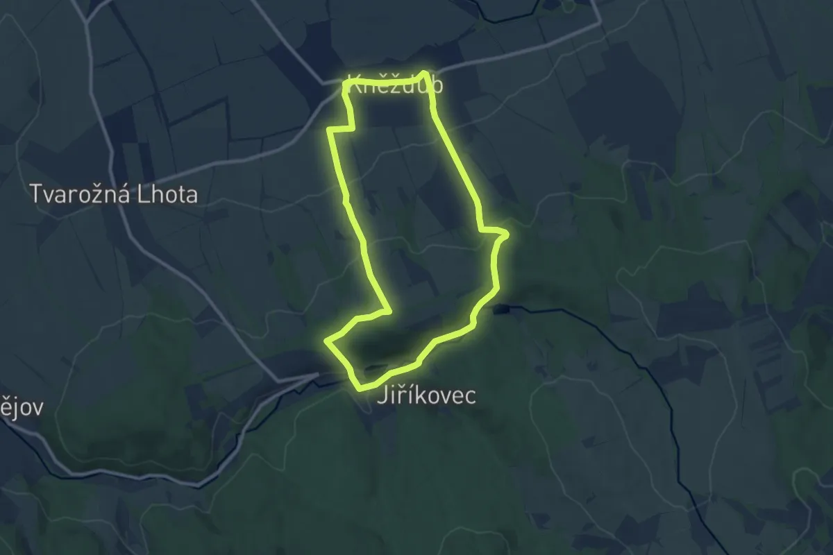
Medium · Summit
[Ž] Lučina (BUS) - Kněždub (BUS)
8.6 km · ↑ 268 m · 2 h 43 min
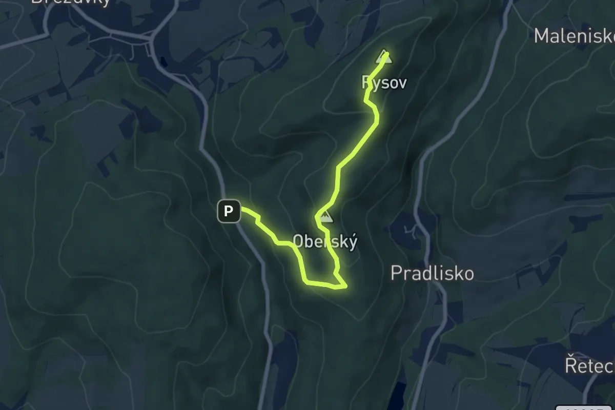
Easy · Summit
[Z] Lukáščena - Provodov
6.1 km · ↑ 247 m · 1 h 59 min
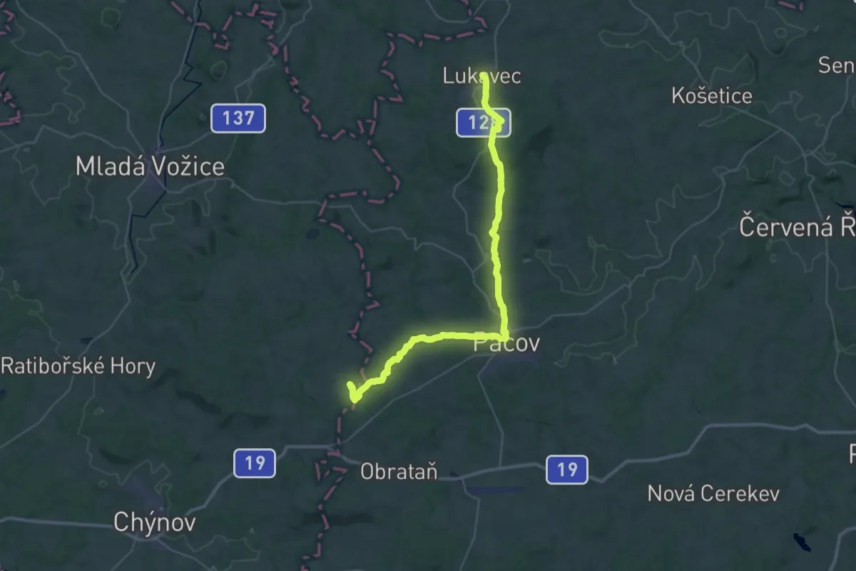
Demanding · Trail
[Z] Lukavec - Malešín
19.9 km · ↑ 326 m · 5 h 40 min
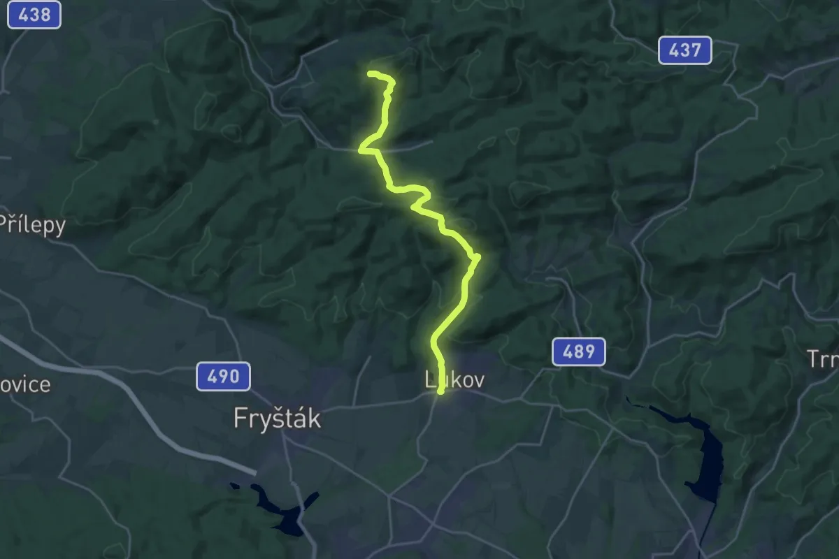
Demanding · Trail
[Ž] Lukov - Pardus
19.0 km · ↑ 746 m · 6 h 7 min
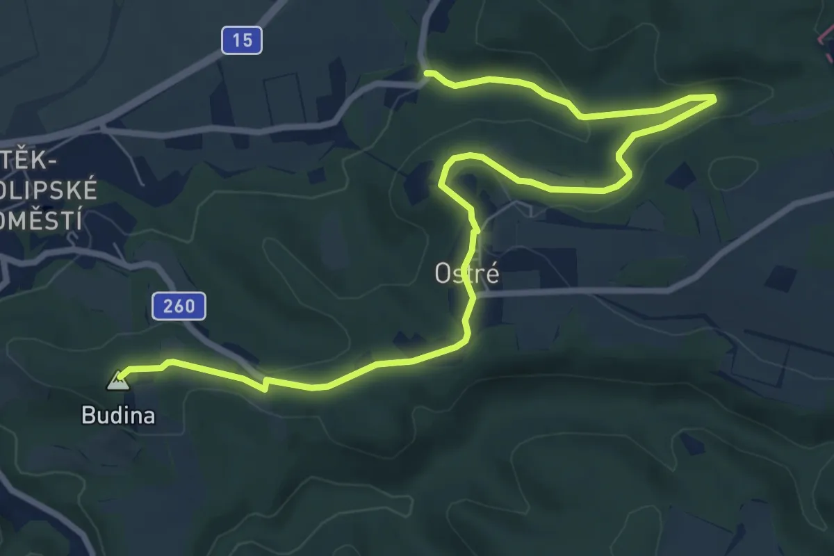
Medium · Summit
[Ž] Lukovsko - Úštěk
8.8 km · ↑ 230 m · 2 h 35 min
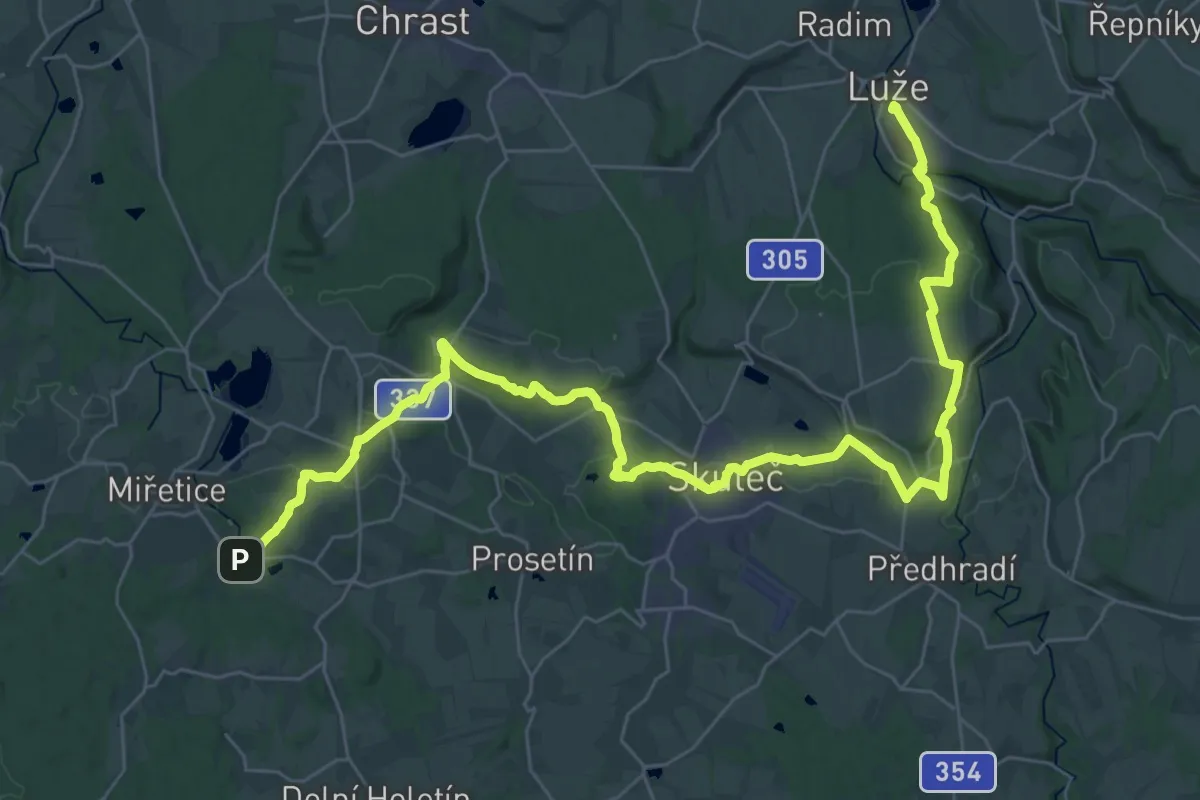
Demanding · Summit
[Z] Luže - Ležáky
43.6 km · ↑ 822 m · 12 h 4 min
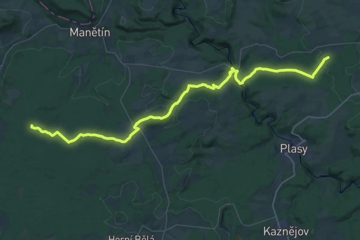
Demanding · Summit
[Ž] Lužiny - Trhomné
44.1 km · ↑ 782 m · 12 h 6 min
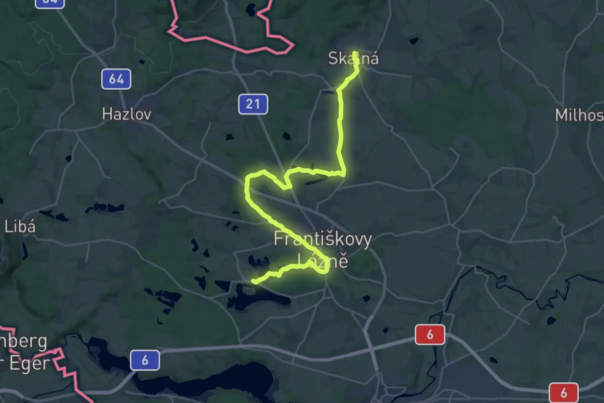
Demanding · Trail
[Z] Lužná - Skalná
26.8 km · ↑ 177 m · 6 h 43 min
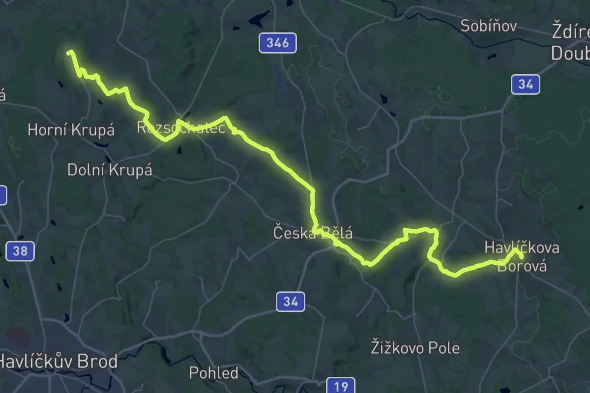
Demanding · Trail
[Z] Lysá - Česká Bělá - Havlíčkova Borová
22.3 km · ↑ 374 m · 6 h 22 min
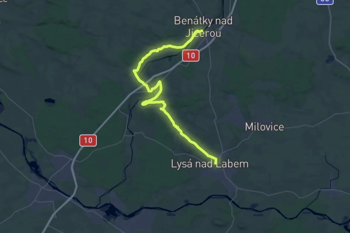
Demanding · Trail
[Z] Lysá nad Labem - Benátky nad Jizerou
20.4 km · ↑ 185 m · 5 h 30 min
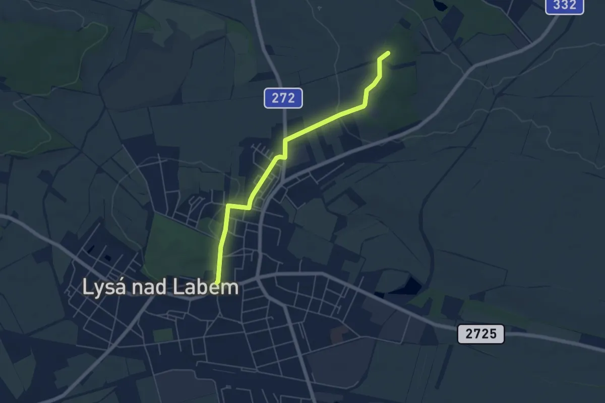
Easy · Summit
[Ž] Lysá nad Labem - Milovice
4.9 km · ↑ 42 m · 1 h 15 min
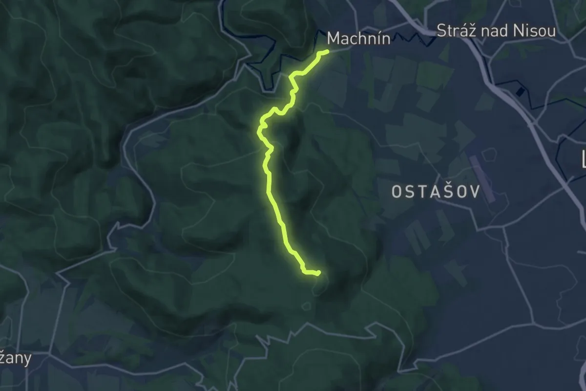
Medium · Summit
[Z] Machnín - Výpřež
11.2 km · ↑ 548 m · 3 h 50 min
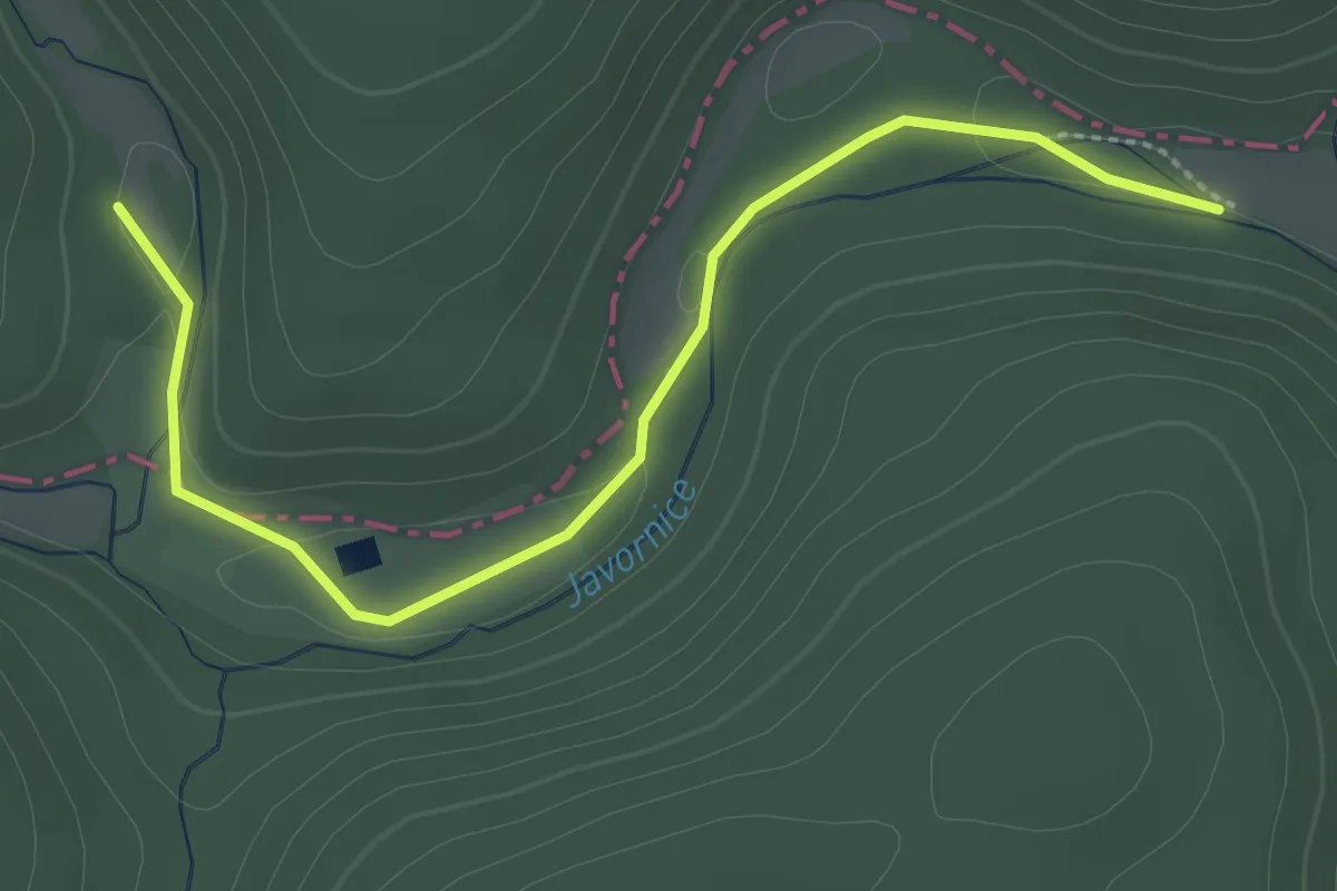
Easy · Trail
[Ž] Máchův mlýn - Kalinova Ves
2.8 km · ↑ 25 m · 42 min
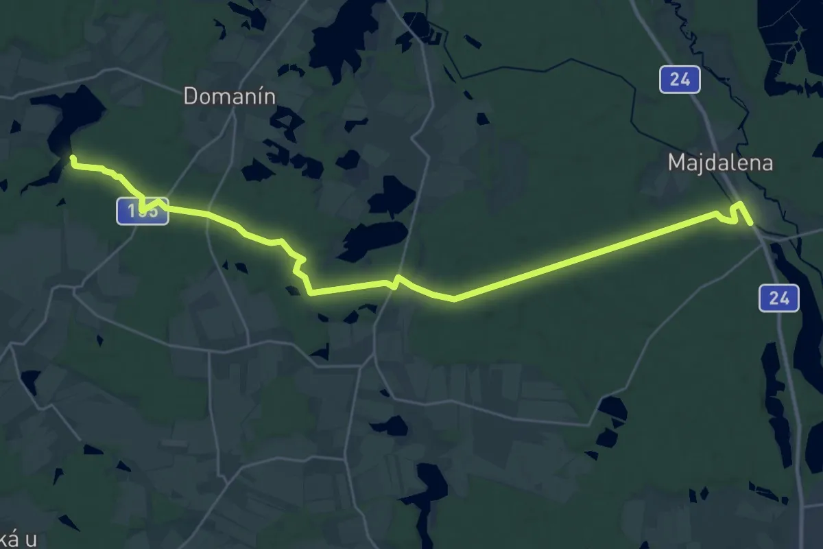
Demanding · Trail
[Ž] Majdalena - Spolský rybník
29.6 km · ↑ 260 m · 7 h 33 min
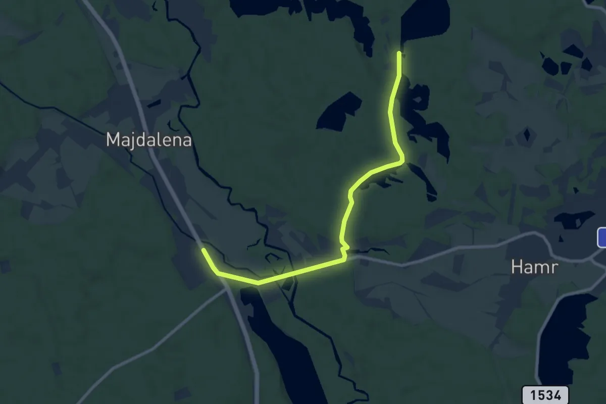
Medium · Trail
[Z] Majdalena žst. - Starý Kanclíř
8.0 km · ↑ 38 m · 1 h 58 min
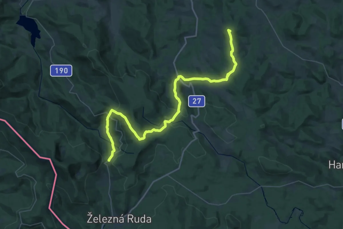
Demanding · Summit
[Ž] Makov - rozc. - Špičácké sedlo
41.9 km · ↑ 1431 m · 12 h 59 min
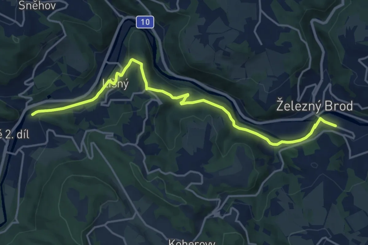
Medium · Trail
[Ž] Malá Skála - Železný Brod
12.2 km · ↑ 279 m · 3 h 29 min
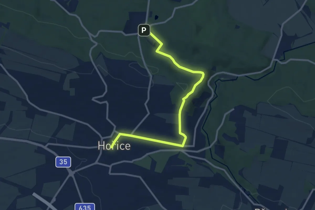
Medium · Trail
[Ž] Malátova cesta
8.1 km · ↑ 139 m · 2 h 13 min
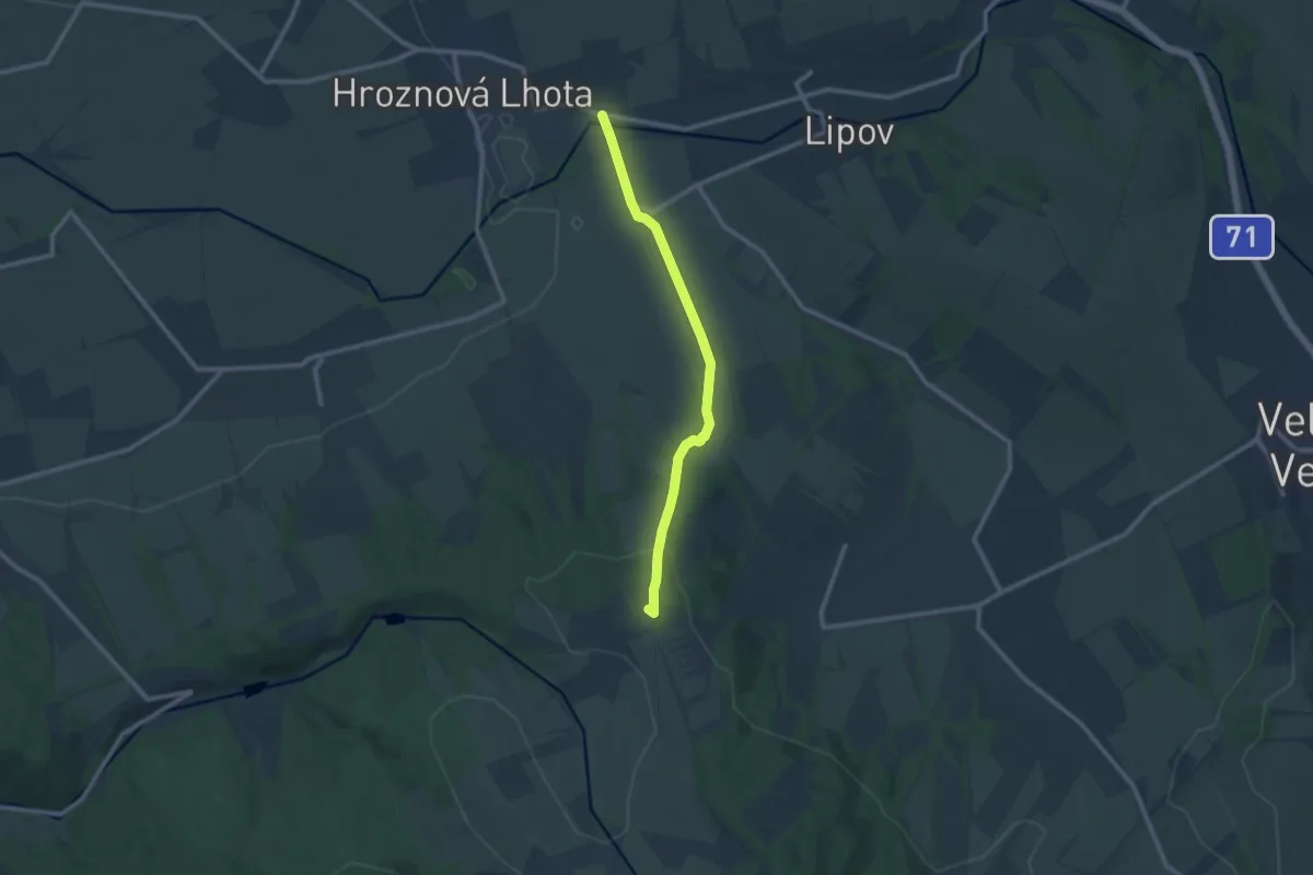
Medium · Summit
[Ž] Malá Vrbka - Tasov
9.4 km · ↑ 223 m · 2 h 42 min
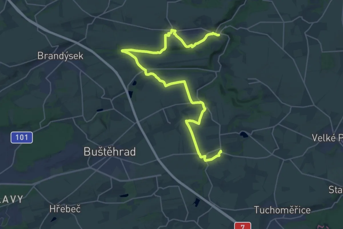
Demanding · Trail
[Ž] Malé Číčovice - Zákolany
27.4 km · ↑ 343 m · 7 h 12 min
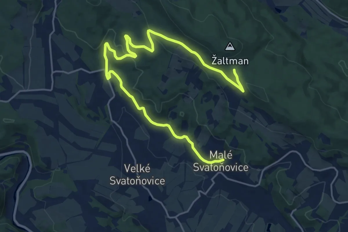
Medium · Trail
[Ž] Malé Svatoňovice - Petrovice
16.9 km · ↑ 364 m · 4 h 47 min
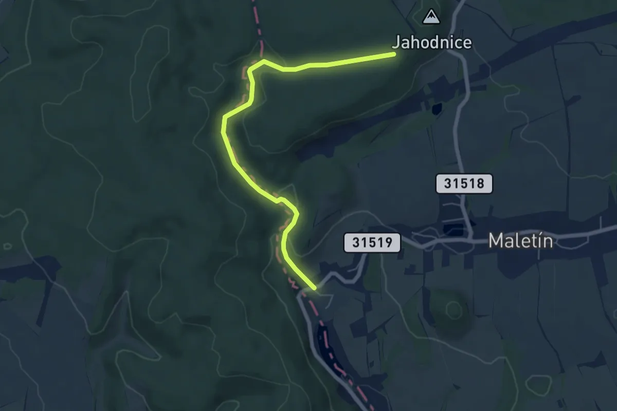
Easy · Trail
[Z] Maletín - Jahodnice
5.6 km · ↑ 146 m · 1 h 39 min
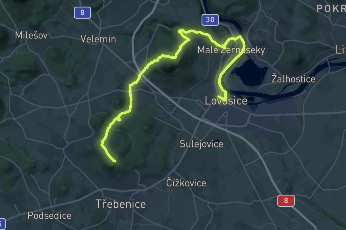
Medium · Trail
[Ž] Malé Žernoseky - Košťálov
15.0 km · ↑ 210 m · 4 h 20 min
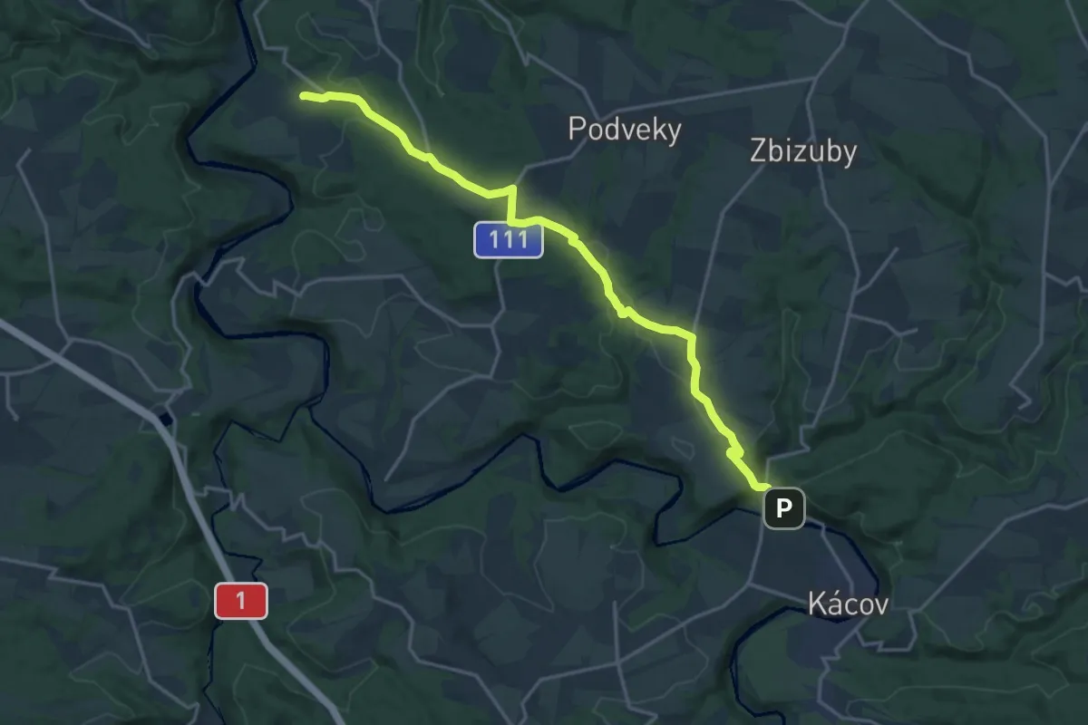
Medium · Trail
[Ž] Malovidy - Kácov
16.6 km · ↑ 307 m · 4 h 36 min
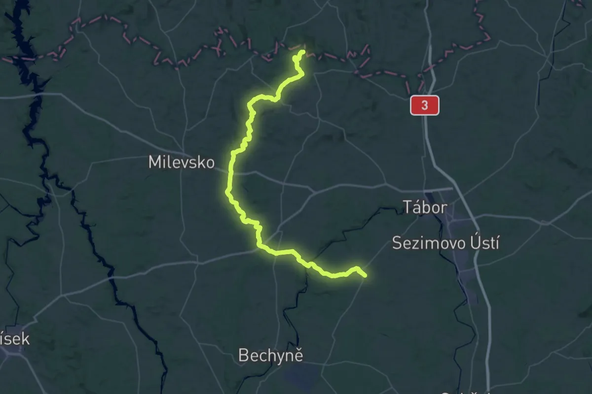
Demanding · Trail
[Ž] Malšice - Ounuz
38.2 km · ↑ 865 m · 11 h 20 min
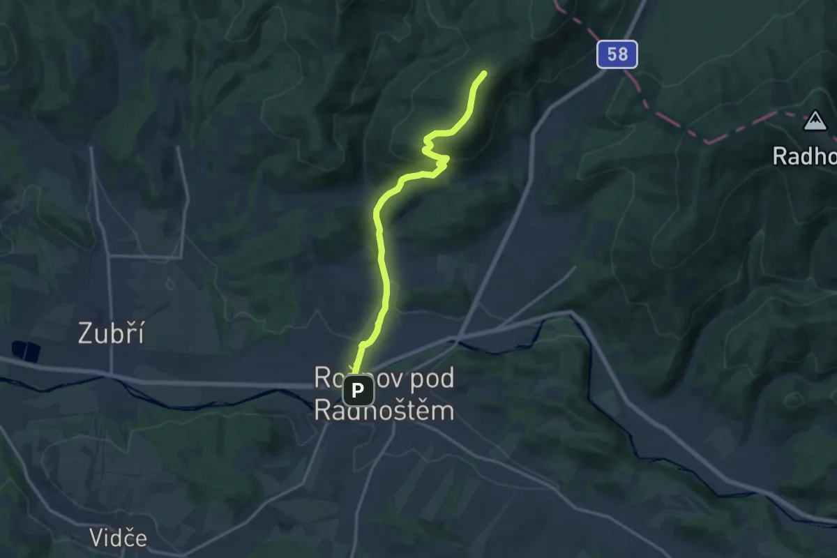
Medium · Summit
[Z] Malý Javorník - Ráztoka
11.7 km · ↑ 407 m · 3 h 38 min
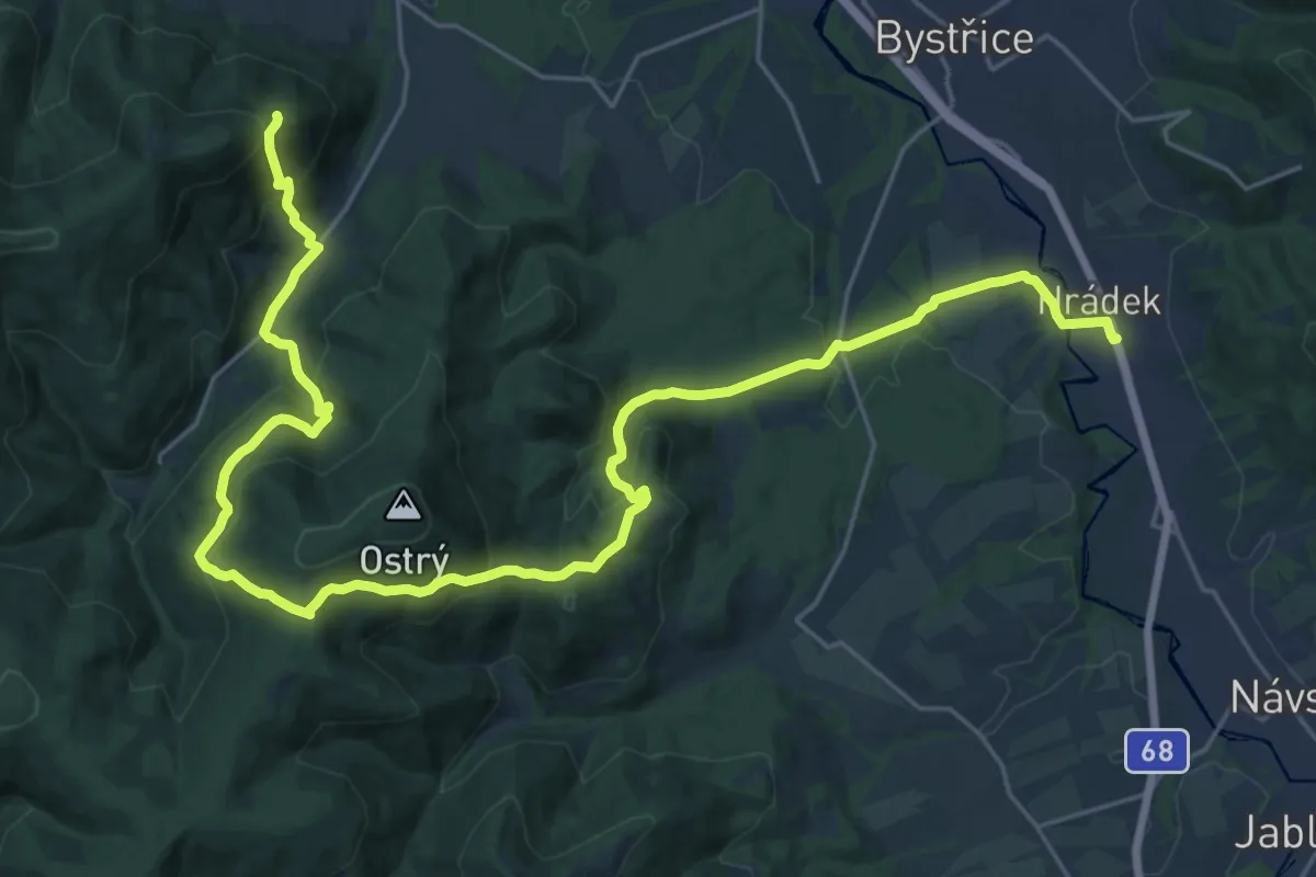
Demanding · Trail
[Ž] Malý Javorový (sedlo) - Hrádek (žst.)
15.5 km · ↑ 951 m · 5 h 44 min
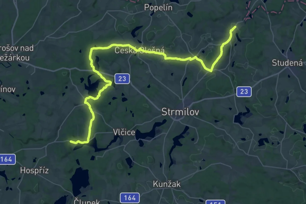
Demanding · Trail
[Z] Malý Ratmírov - Zahrádky
19.6 km · ↑ 258 m · 5 h 29 min
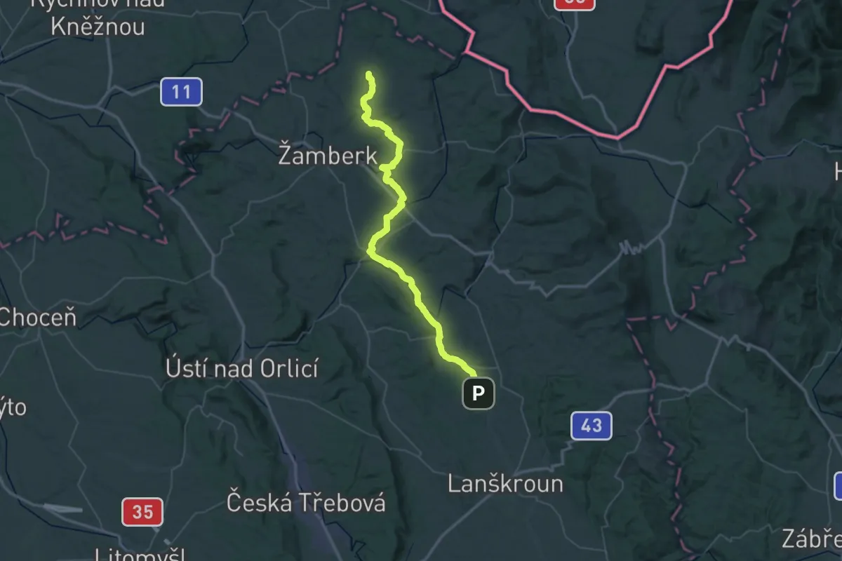
Demanding · Trail
[Ž] Mariánská Hora - Kunvald
27.0 km · ↑ 339 m · 7 h 30 min
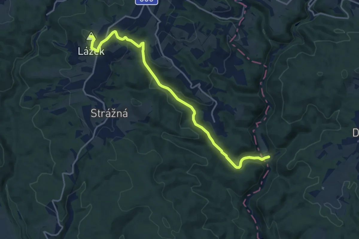
Medium · Summit
[Ž] Mariánská hora - Zábřeh
12.2 km · ↑ 402 m · 3 h 45 min
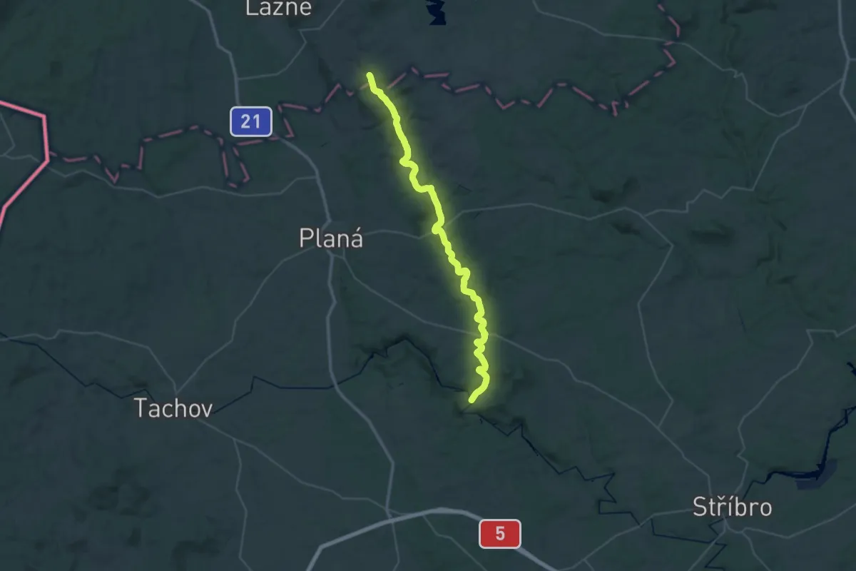
Demanding · Trail
[Z] Mariánské Lázně - Kosí potok
20.8 km · ↑ 324 m · 5 h 49 min
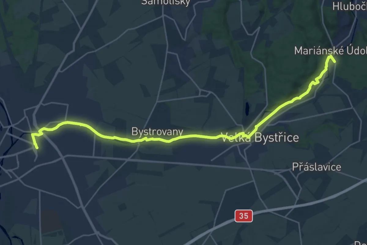
Demanding · Trail
[Ž] Mariánské Údolí - Olomouc hl.n.
22.4 km · ↑ 88 m · 5 h 29 min
Demanding · Trail
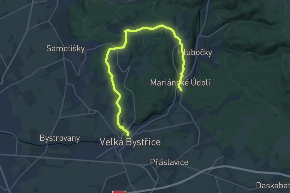
[Z] Mariánské údolí - Velká Bystřice
20.8 km · ↑ 409 m · 5 h 47 min
Easy · Trail
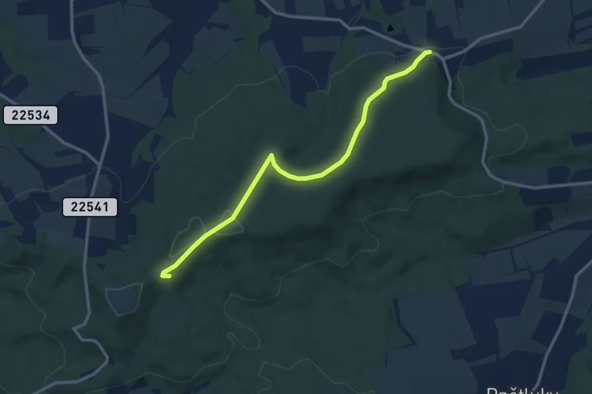
[Ž] Markvarec u Hřivic - U Petra a Pavla
7.2 km · ↑ 130 m · 1 h 59 min
Easy · Trail
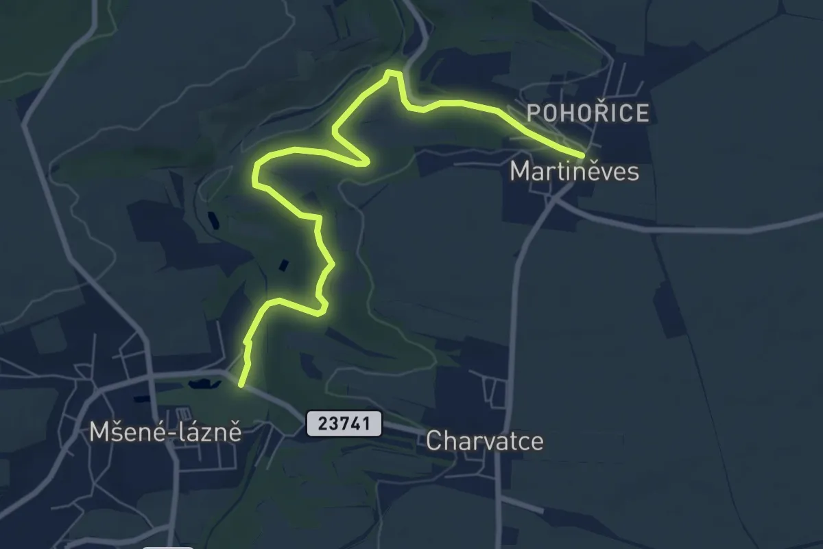
[Ž] Martiněves - Mšené lázně
7.4 km · ↑ 152 m · 2 h 4 min
Medium · Trail
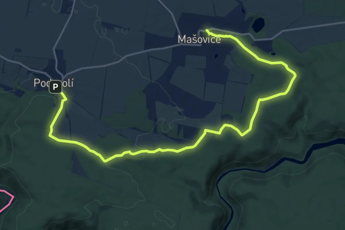
[Ž] Mašovice - Podmolí
15.8 km · ↑ 165 m · 4 h 6 min
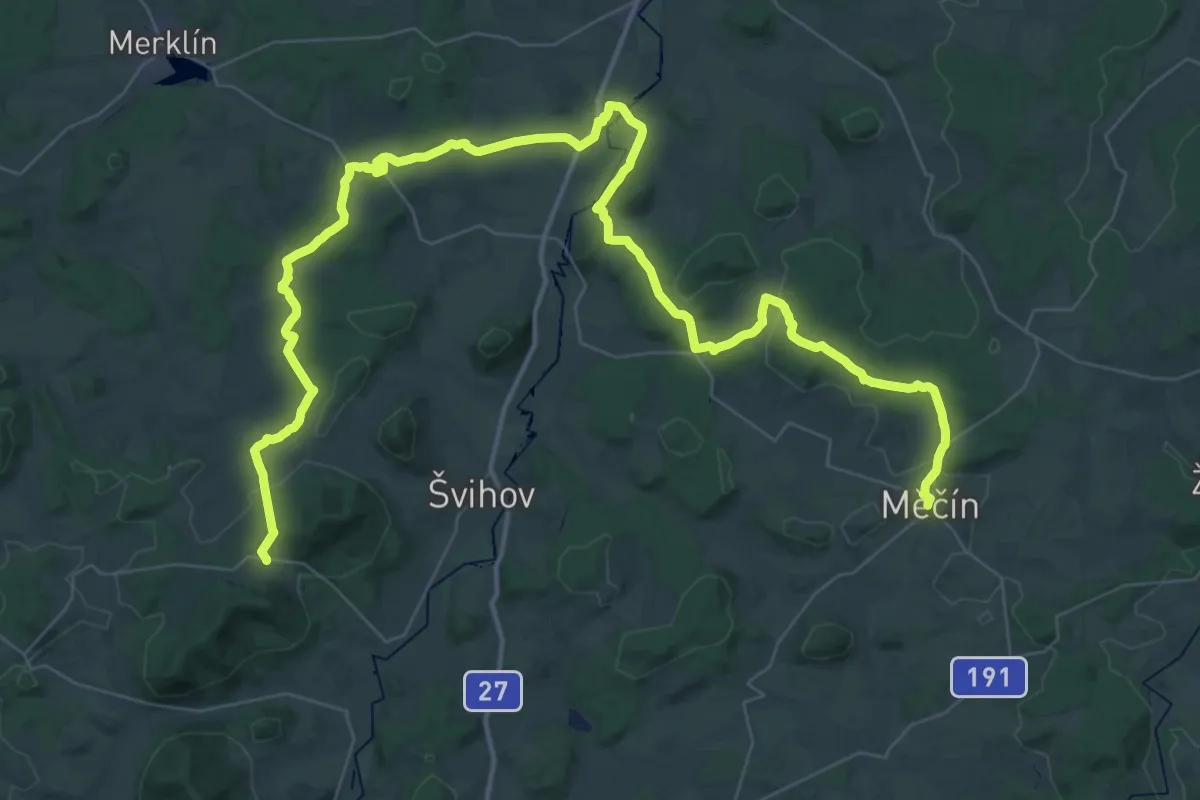
Demanding · Trail
[Z] Mečín - Roupov
31.1 km · ↑ 502 m · 8 h 54 min
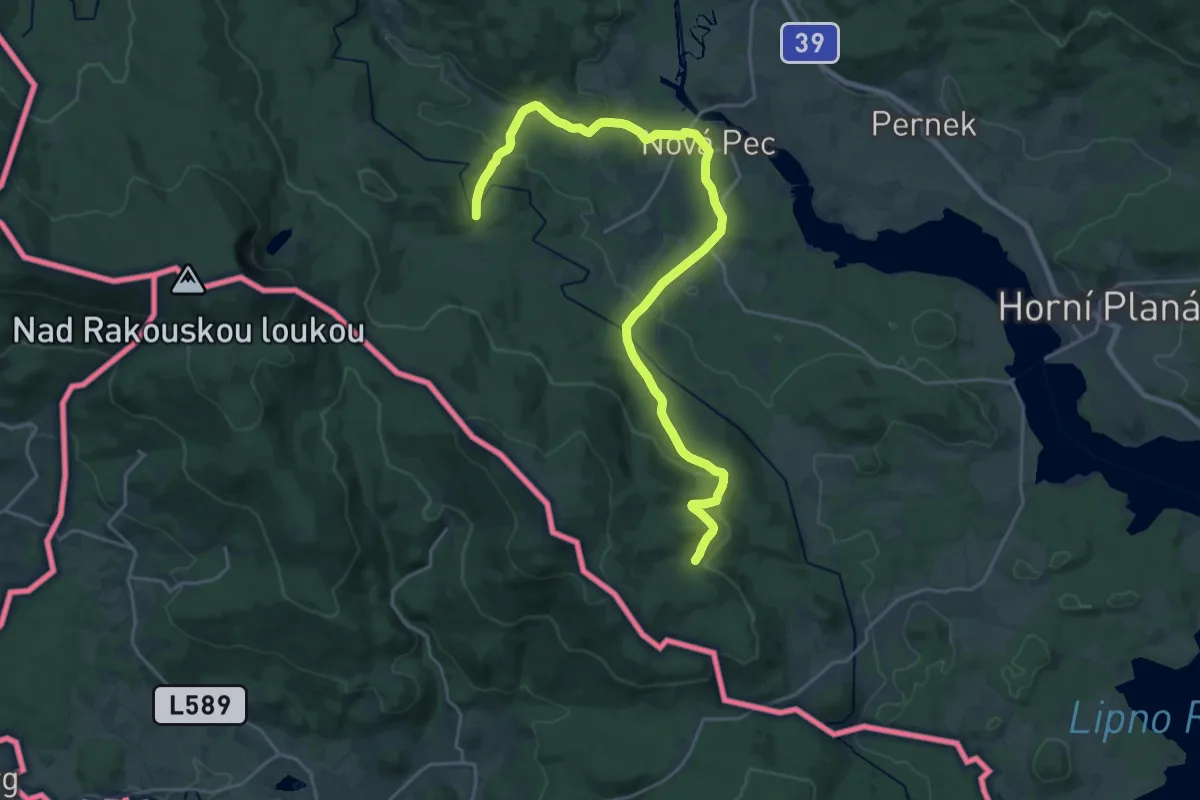
Demanding · Trail
[Ž] Medvědí potok - Rossbach
25.9 km · ↑ 533 m · 7 h 17 min
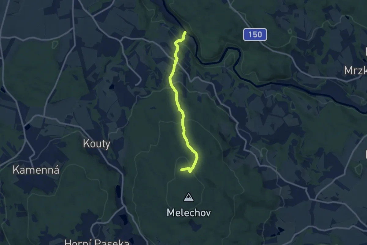
Medium · Trail
[Ž] Melechov - Stvořidla
7.2 km · ↑ 351 m · 2 h 28 min
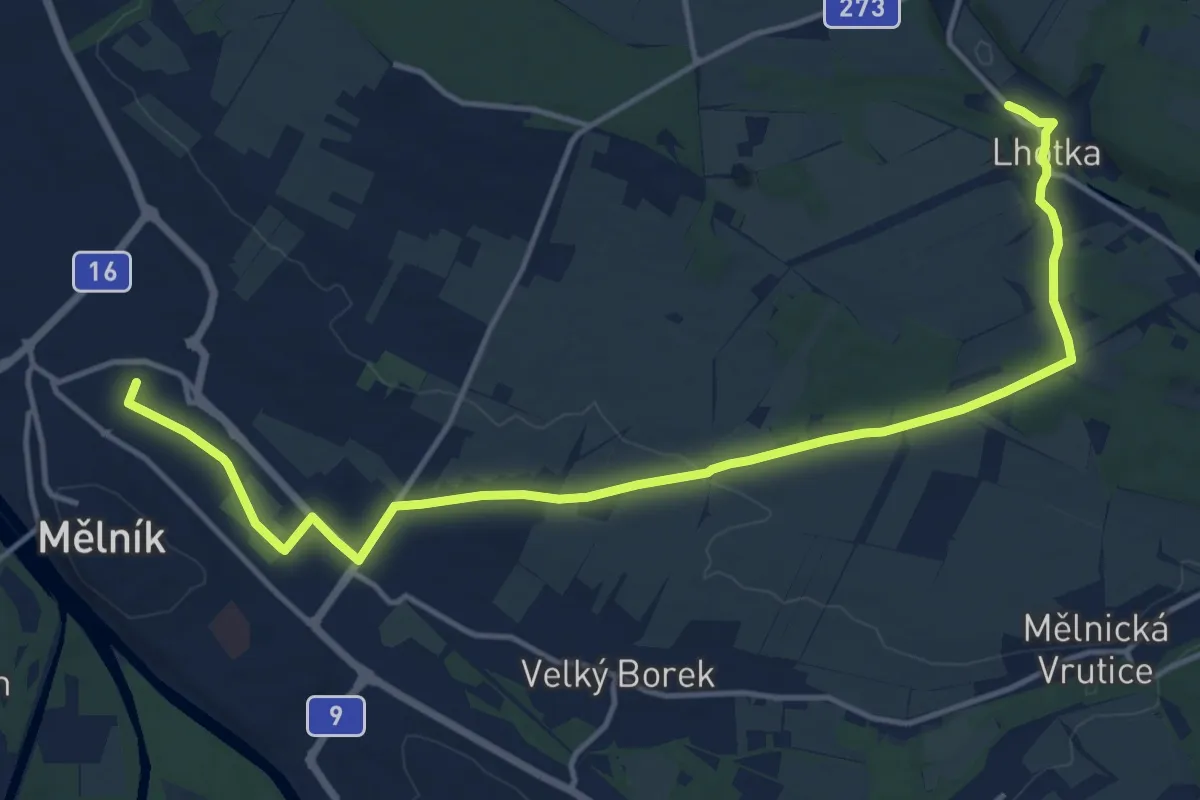
Medium · Trail
[Ž] Mělník - Lhotka
15.8 km · ↑ 105 m · 3 h 57 min
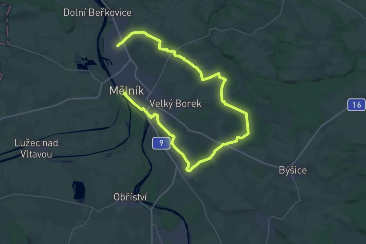
Demanding · Trail
[Z] Mělník - Mlazice
23.9 km · ↑ 330 m · 6 h 41 min
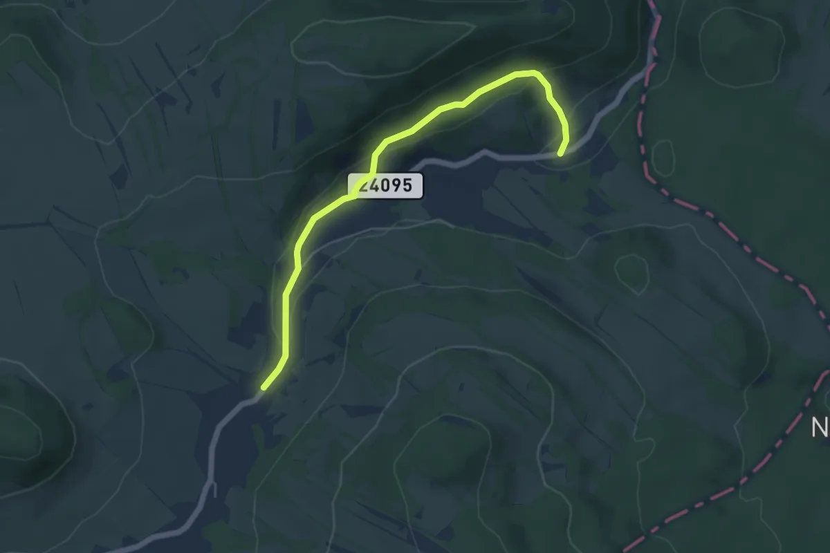
Easy · Trail
[Ž] Merboltice - Merboltice dolní bus
4.7 km · ↑ 135 m · 1 h 25 min
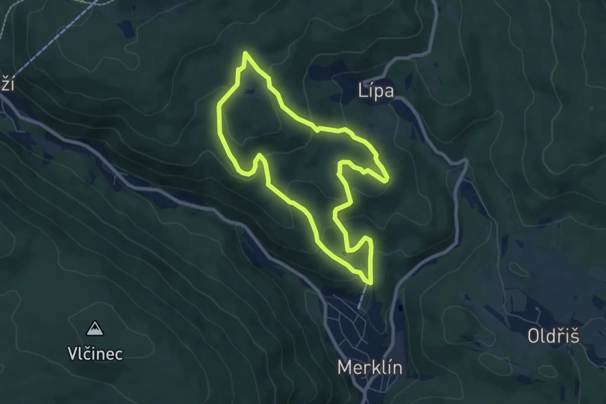
Easy · Trail
[Ž] Merklínský okruh
5.9 km · ↑ 255 m · 2 h 1 min
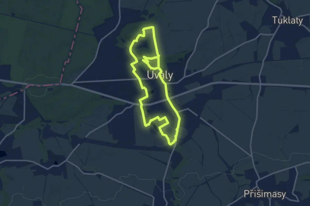
Medium · Trail
[Z] Městská stezka Úvaly
16.6 km · ↑ 261 m · 4 h 29 min
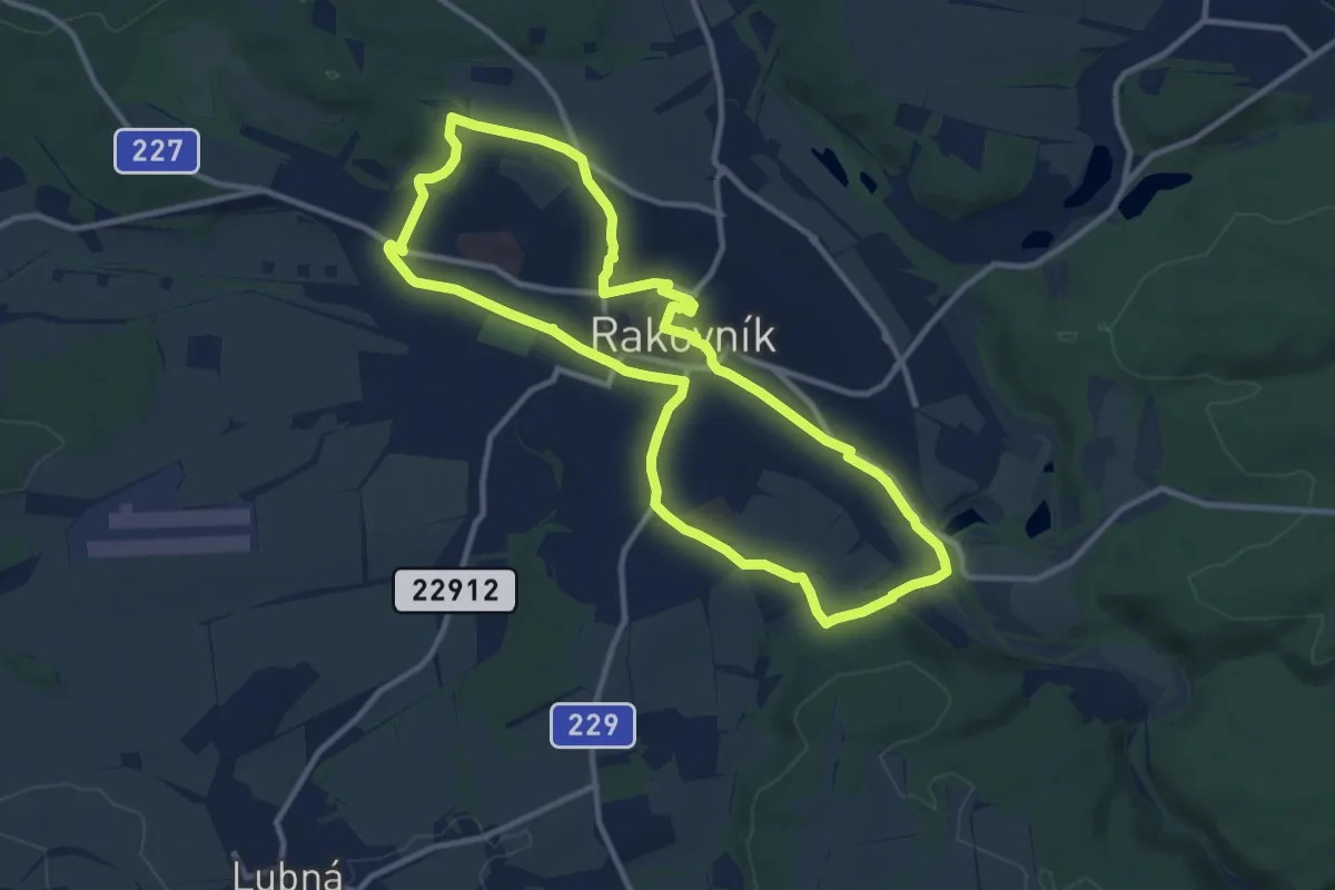
Medium · Trail
[Ž] Měststský okruh IVV
10.2 km · ↑ 123 m · 2 h 49 min
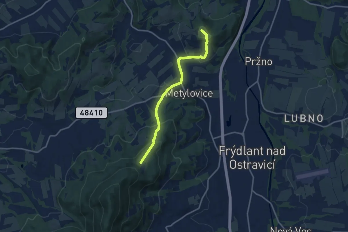
Medium · Summit
[Ž] Metylovická hůrka - Kubalánky
8.3 km · ↑ 426 m · 2 h 53 min
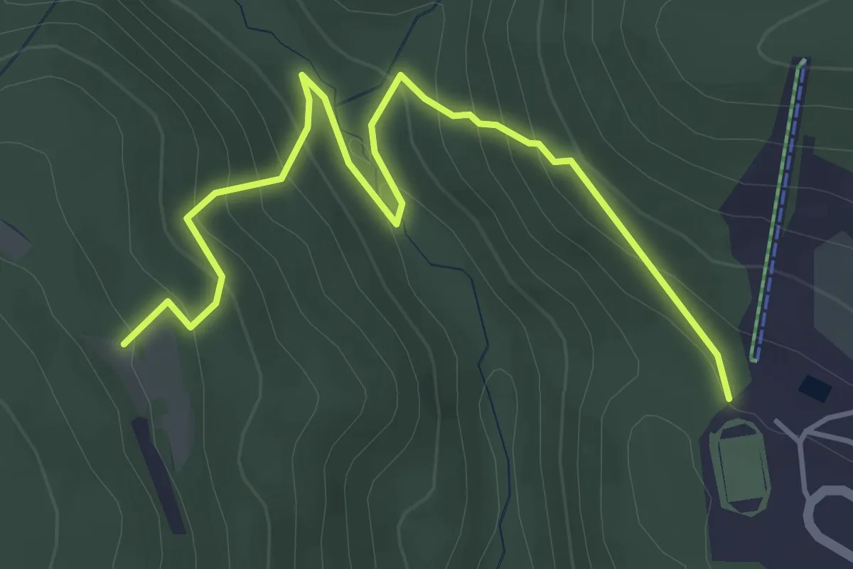
Easy · Trail
[Ž] Meziboří (stadion) - Rašov
4.4 km · ↑ 283 m · 1 h 39 min
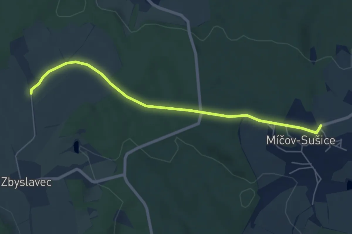
Easy · Trail
[Ž] Míčov - Zbyslavec
4.5 km · ↑ 50 m · 1 h 11 min