Trails in Czech Republic
4,056 hiking trails, each with its route, climb, walking time and grade.
All trails, page 74 of 85
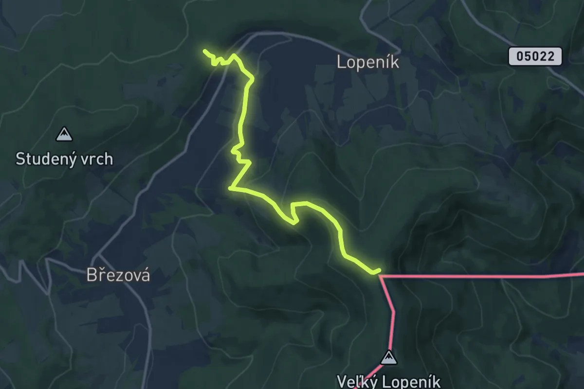
Medium · Trail
[Ž] Pod Malým Lopeníkem - Obecní háj
10.1 km · ↑ 452 m · 3 h 21 min
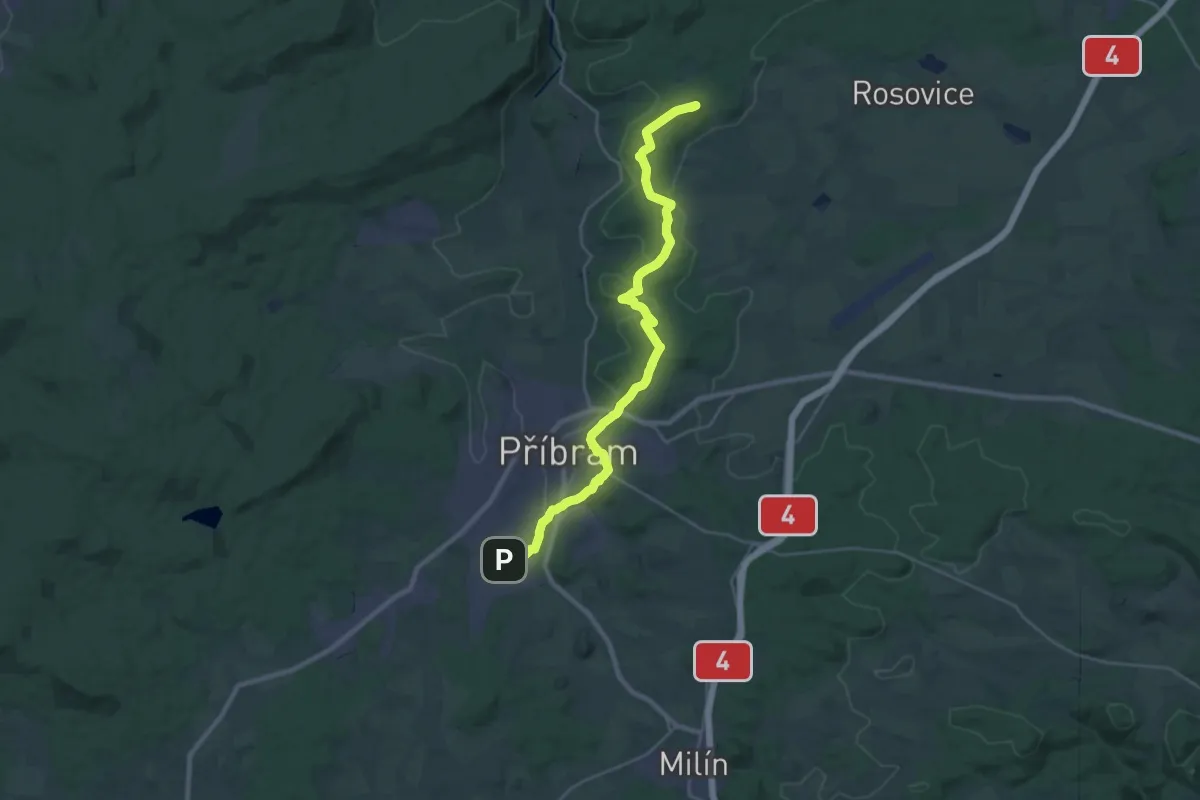
Demanding · Summit
[Z] Pod Malým vrchem - Příbram
28.0 km · ↑ 523 m · 7 h 45 min
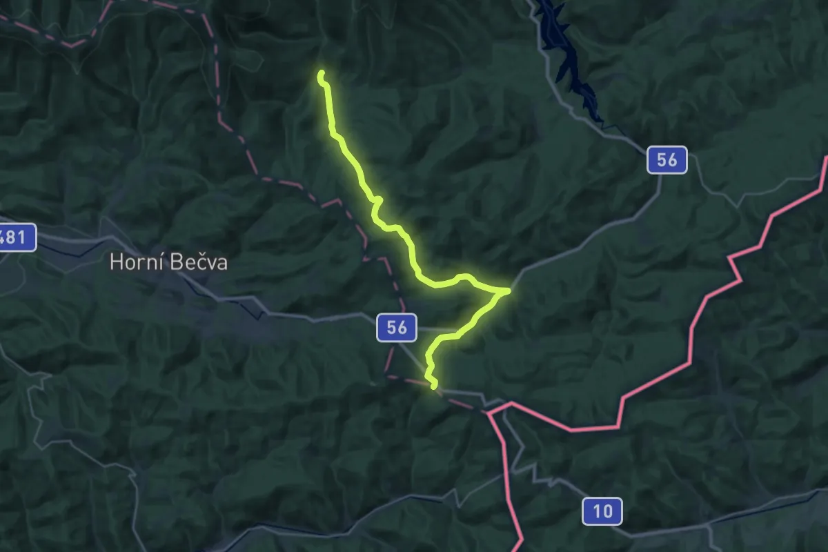
Demanding · Cabin
[Z] Podolánky - Babská
25.8 km · ↑ 726 m · 7 h 40 min
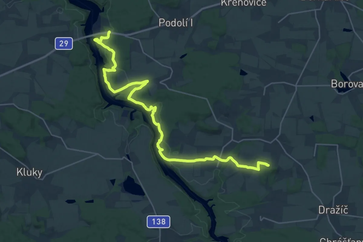
Demanding · Summit
[Z] Podolský most - Bechyně
25.7 km · ↑ 668 m · 7 h 31 min
Medium · Summit
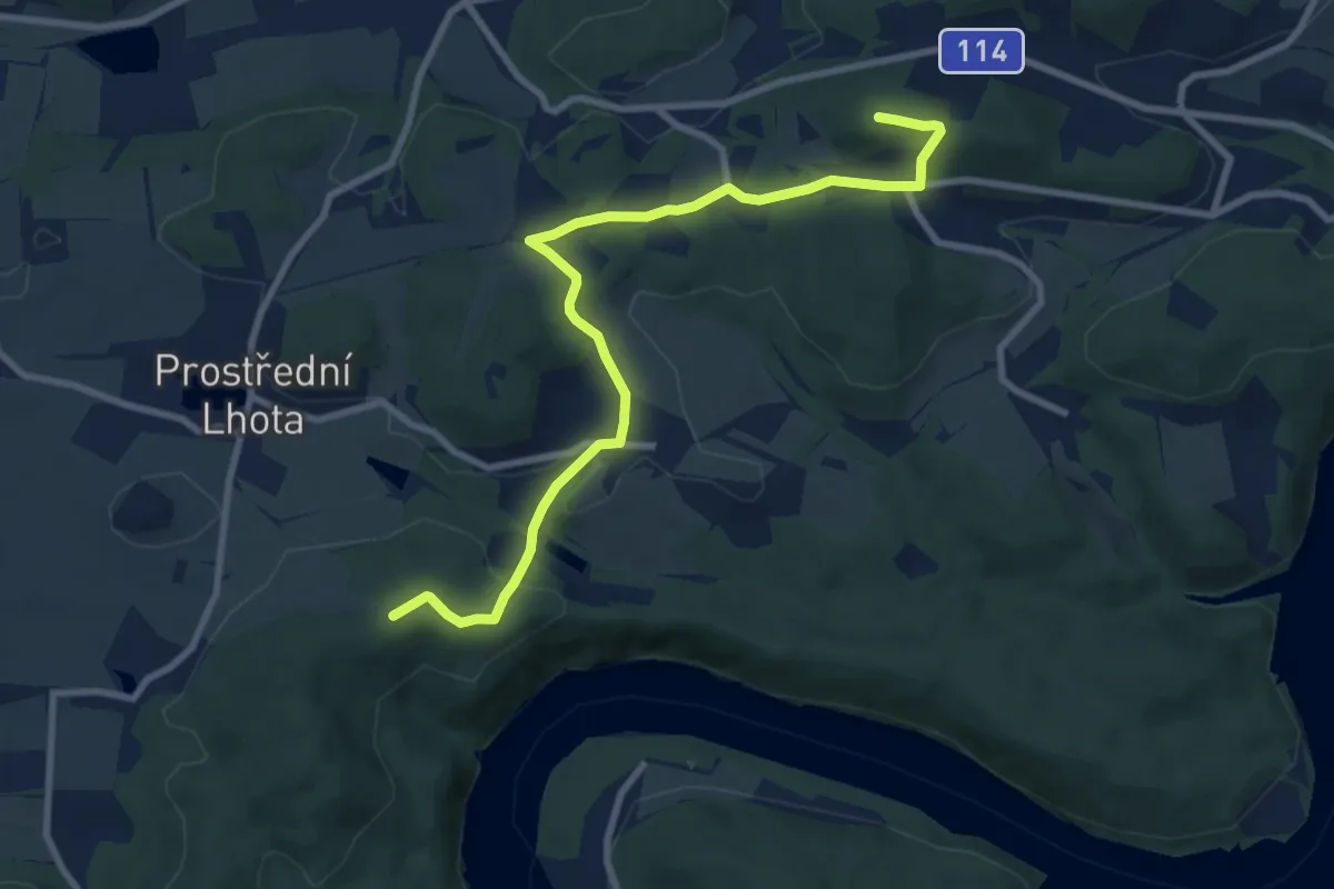
[Z] Pod Ostrým vrchem - Pod Veselým vrchem
8.9 km · ↑ 269 m · 2 h 42 min
Demanding · Trail
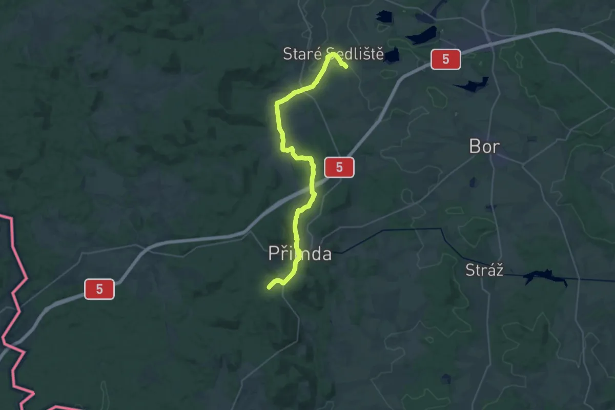
[Z] Pod Ovčím vrchem - Přimda - Staré Sedliště
26.6 km · ↑ 446 m · 7 h 15 min
Easy · Trail
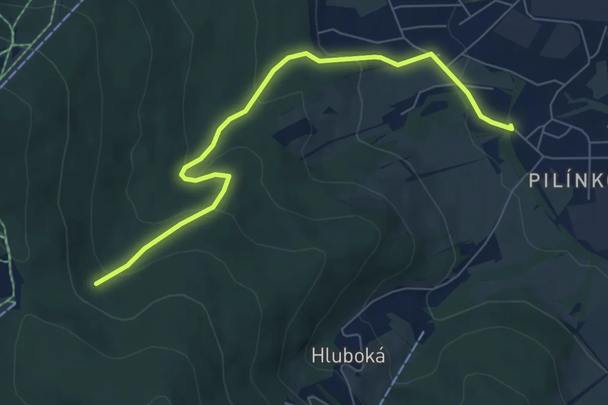
[Ž] Pod Pláněmi - Pilínkov žst.
6.0 km · ↑ 284 m · 2 h 2 min
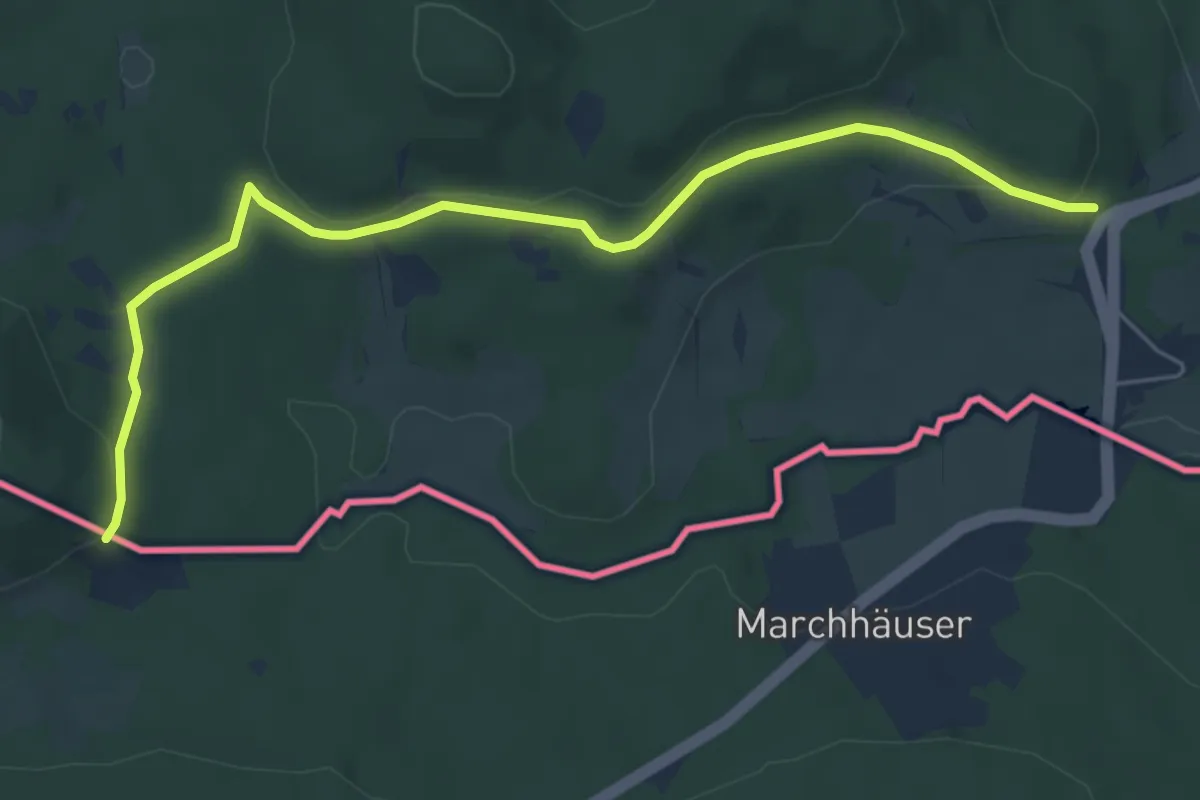
Easy · Summit
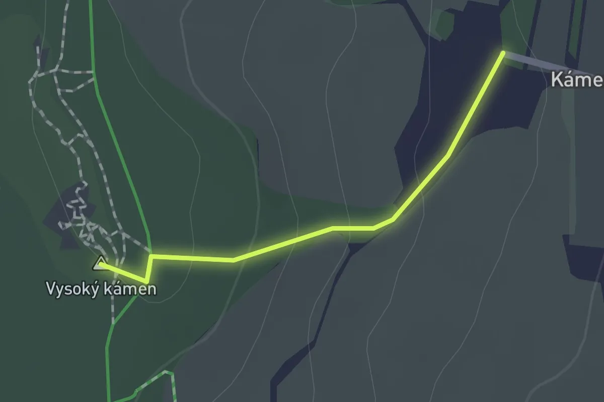
[Ž] Pod Počáteckým vrchem - Kraslice
1.2 km · ↑ 45 m · 23 min
Easy · Trail
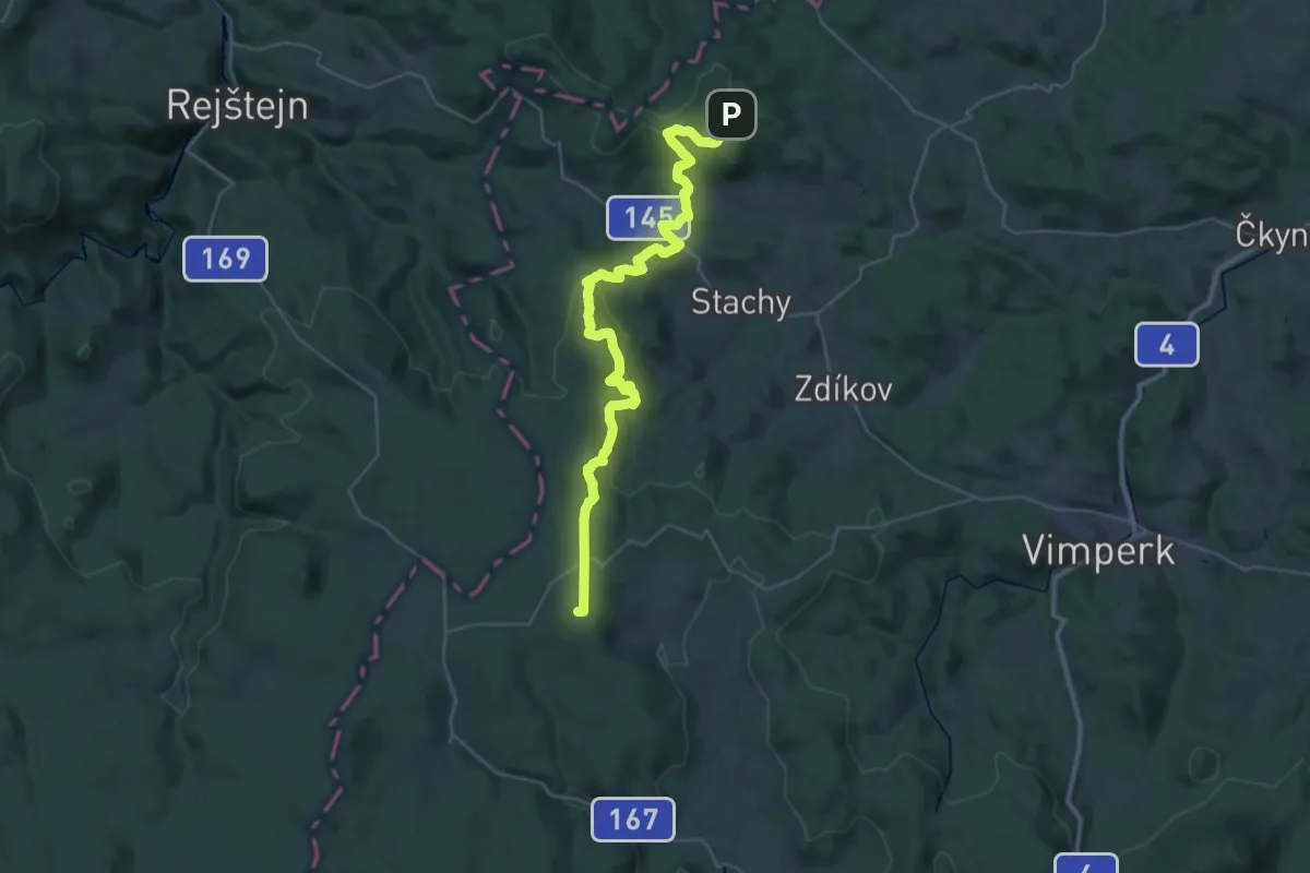
[Z] Pod Předním kopcem CZ/D - U Krmelce
5.8 km · ↑ 115 m · 1 h 38 min
Demanding · Summit
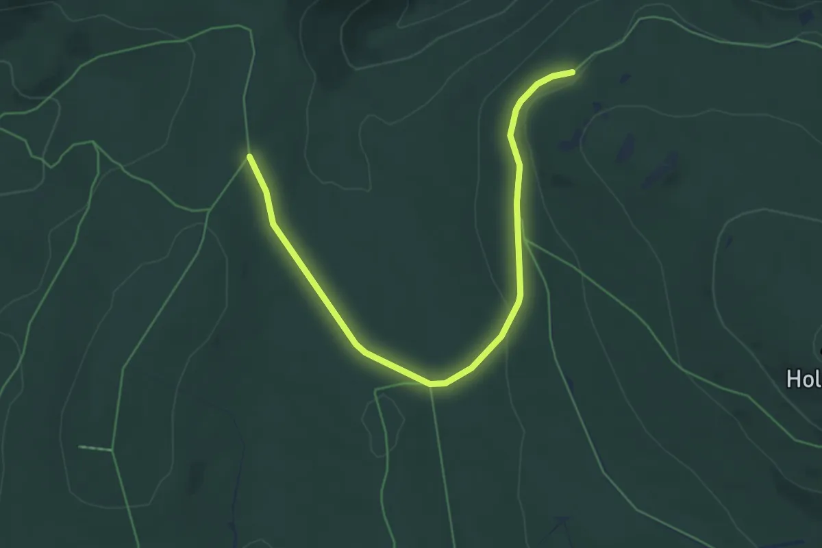
[Z] Pod Přilbou - Javorník
36.0 km · ↑ 1143 m · 10 h 58 min
Easy · Trail
[Ž] Pod ptačími kupami - Bílá kuchyně
5.5 km · ↑ 87 m · 1 h 29 min
Easy · Trail
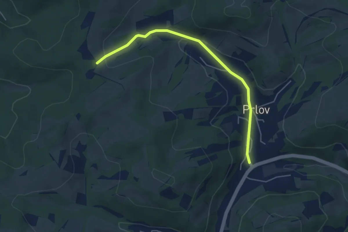
[Ž] Pod Širokou - Prlov (bus)
4.1 km · ↑ 102 m · 1 h 11 min
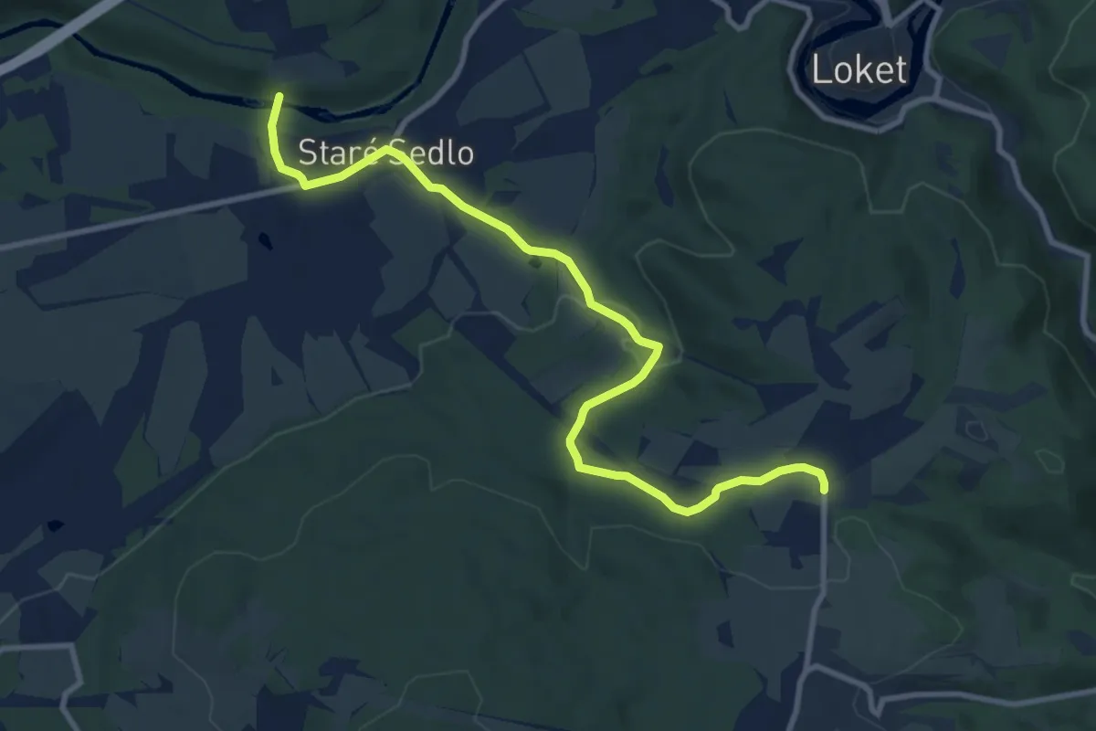
Medium · Trail
[Ž] Pod Starým Sedlem - Dvory
9.7 km · ↑ 199 m · 2 h 43 min
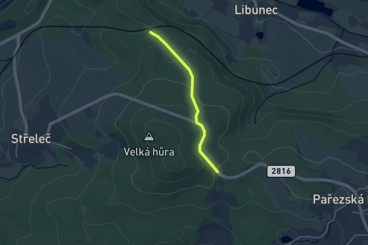
Easy · Trail
[Ž] Pod Střelečskou hůrou - Hrdoňovice (žst.)
2.2 km · ↑ 81 m · 42 min
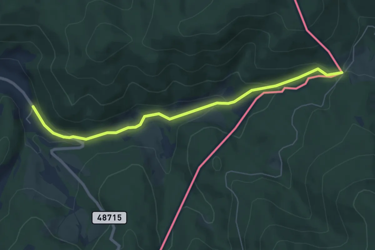
Easy · Trail
[Ž] Podťaté - Pod Lemešnou
5.7 km · ↑ 182 m · 1 h 44 min
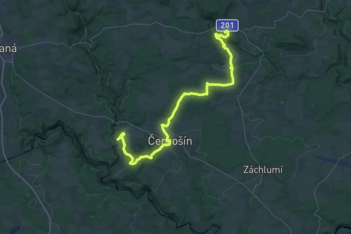
Demanding · Summit
[Ž] Pod Třebelí- Krasíkov
38.4 km · ↑ 852 m · 10 h 54 min
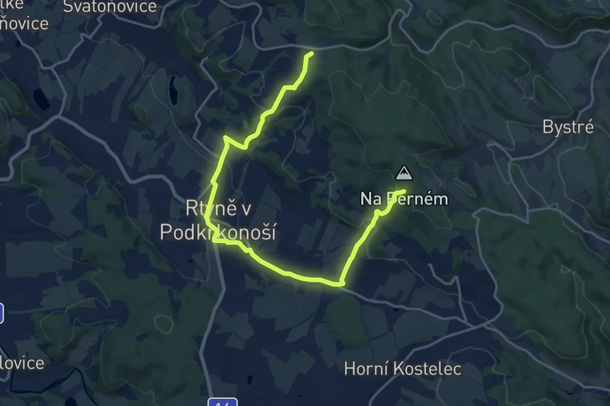
Medium · Trail
[Ž] Pod Větrným dolem - Odolov
14.8 km · ↑ 443 m · 4 h 28 min
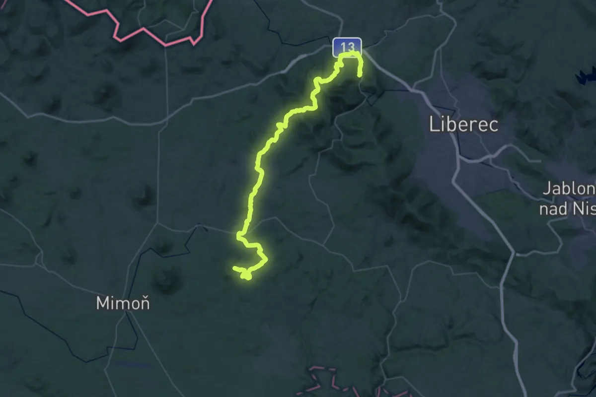
Demanding · Trail
[Z] Pod Zběhem - Andělská hora
28.5 km · ↑ 706 m · 8 h 41 min
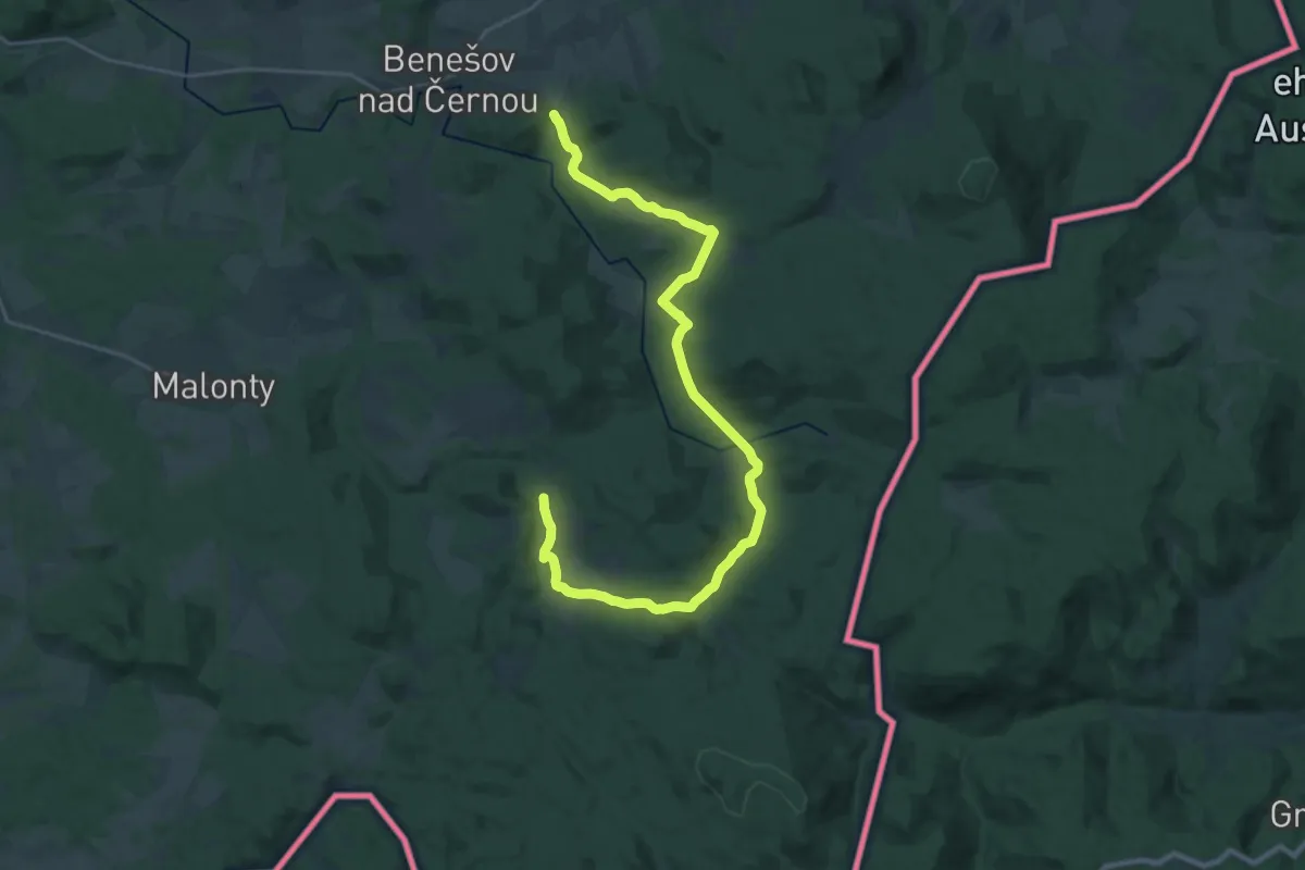
Medium · Trail
[Z] Pohorská ves - Věrtele
14.8 km · ↑ 375 m · 4 h 29 min
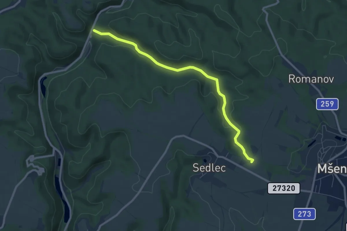
Easy · Trail
[Ž] Pokličky - Bílka
6.4 km · ↑ 135 m · 1 h 48 min
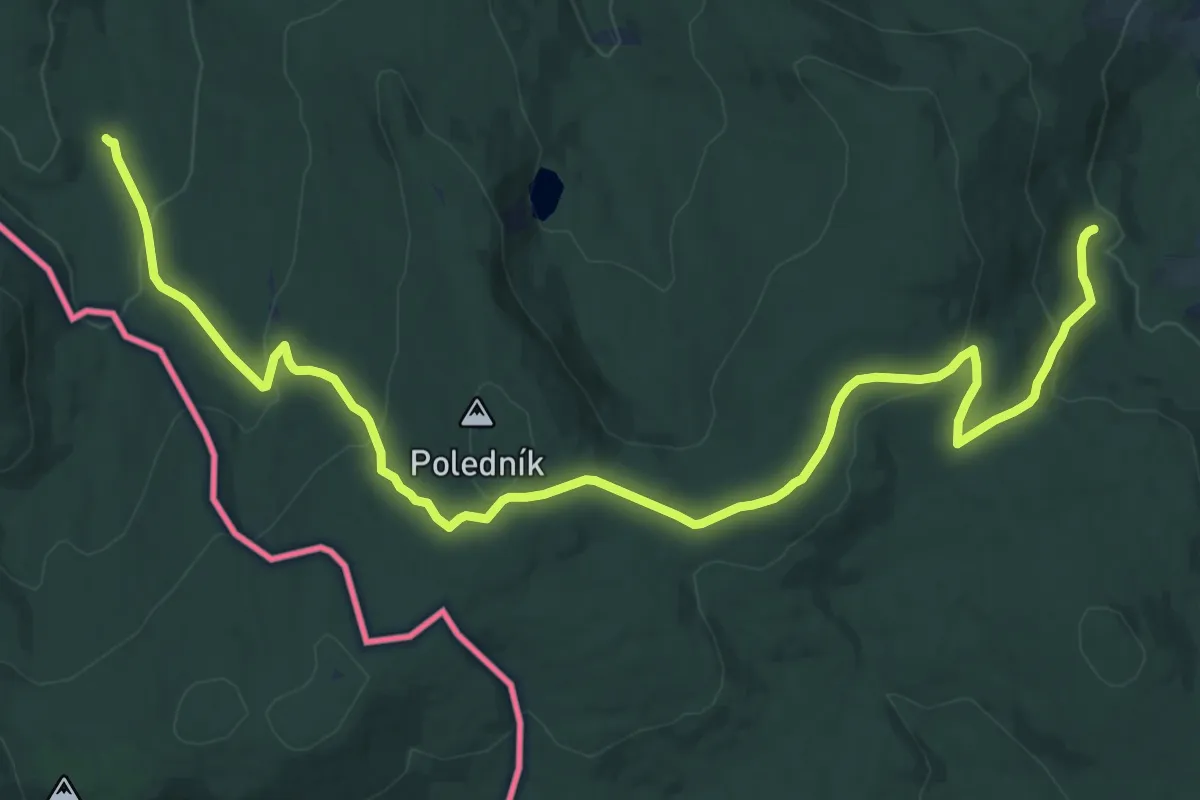
Demanding · Trail
[Z] Poledník-Zelenohorské chalupy
18.3 km · ↑ 640 m · 5 h 42 min
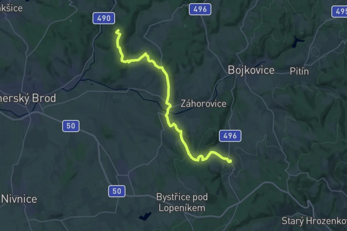
Demanding · Summit
[Ž] Polichno - Komňa
27.0 km · ↑ 771 m · 8 h 3 min
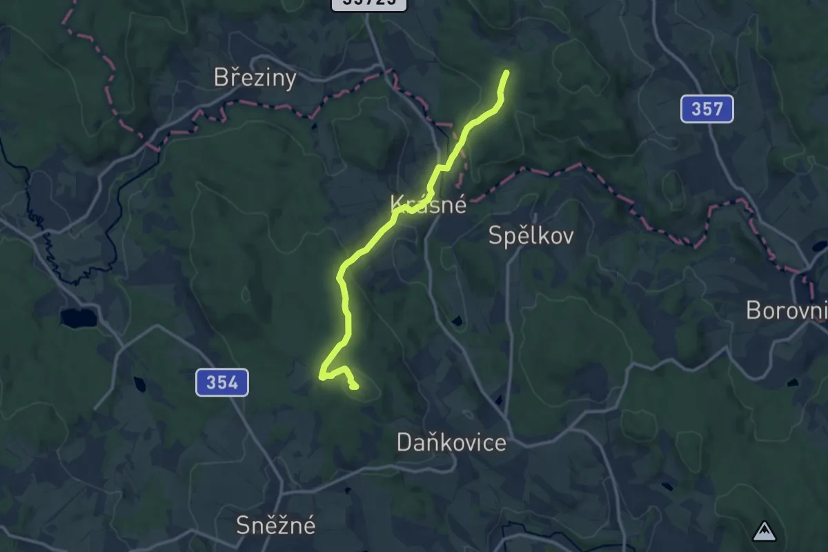
Medium · Summit
[Z] Polička - Telecí - Buchtův kopec
10.1 km · ↑ 367 m · 3 h 11 min
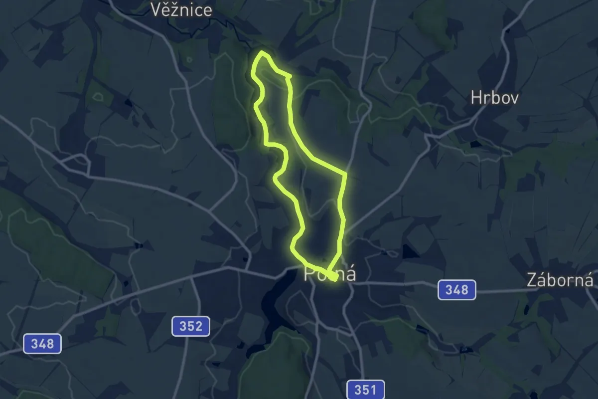
Medium · Trail
[Ž] Polná - Kukle, okruh
14.1 km · ↑ 190 m · 3 h 45 min
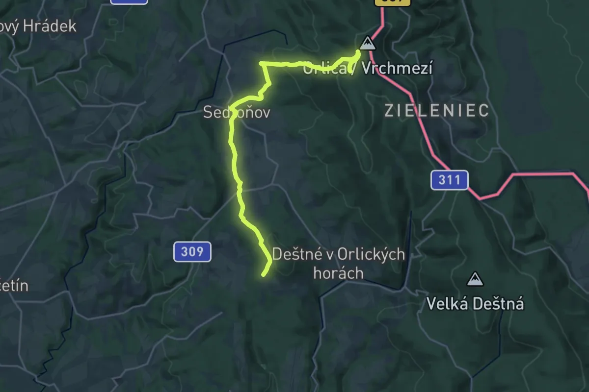
Demanding · Summit
[Ž] Polomský kopec - Kout
19.3 km · ↑ 687 m · 6 h 2 min
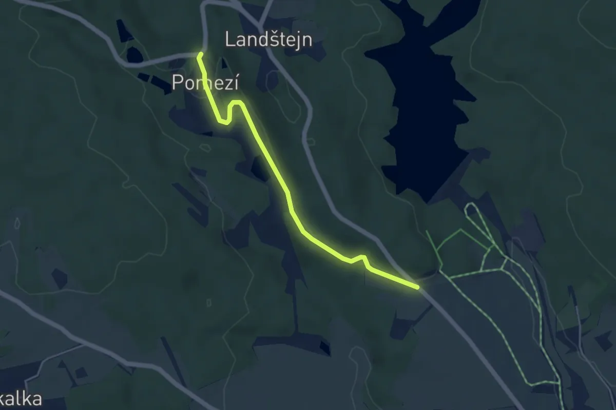
Easy · Trail
[Ž] Pomezí - U kříže
3.9 km · ↑ 97 m · 1 h 8 min
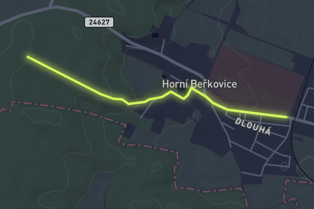
Easy · Trail
[Ž] Pomoklina - Horní Beřkovice
3.8 km · ↑ 68 m · 1 h 2 min
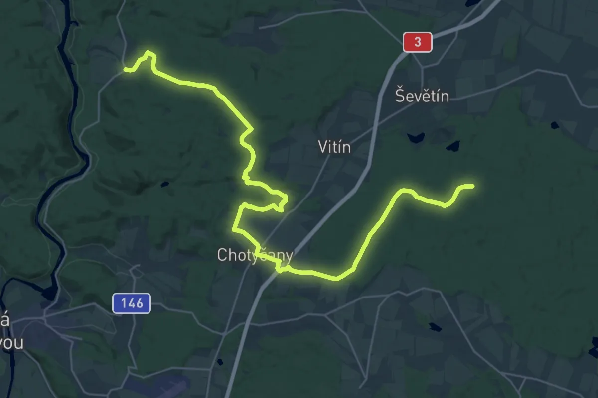
Medium · Trail
[Ž] Poněšice - Kolná
15.8 km · ↑ 213 m · 4 h 23 min
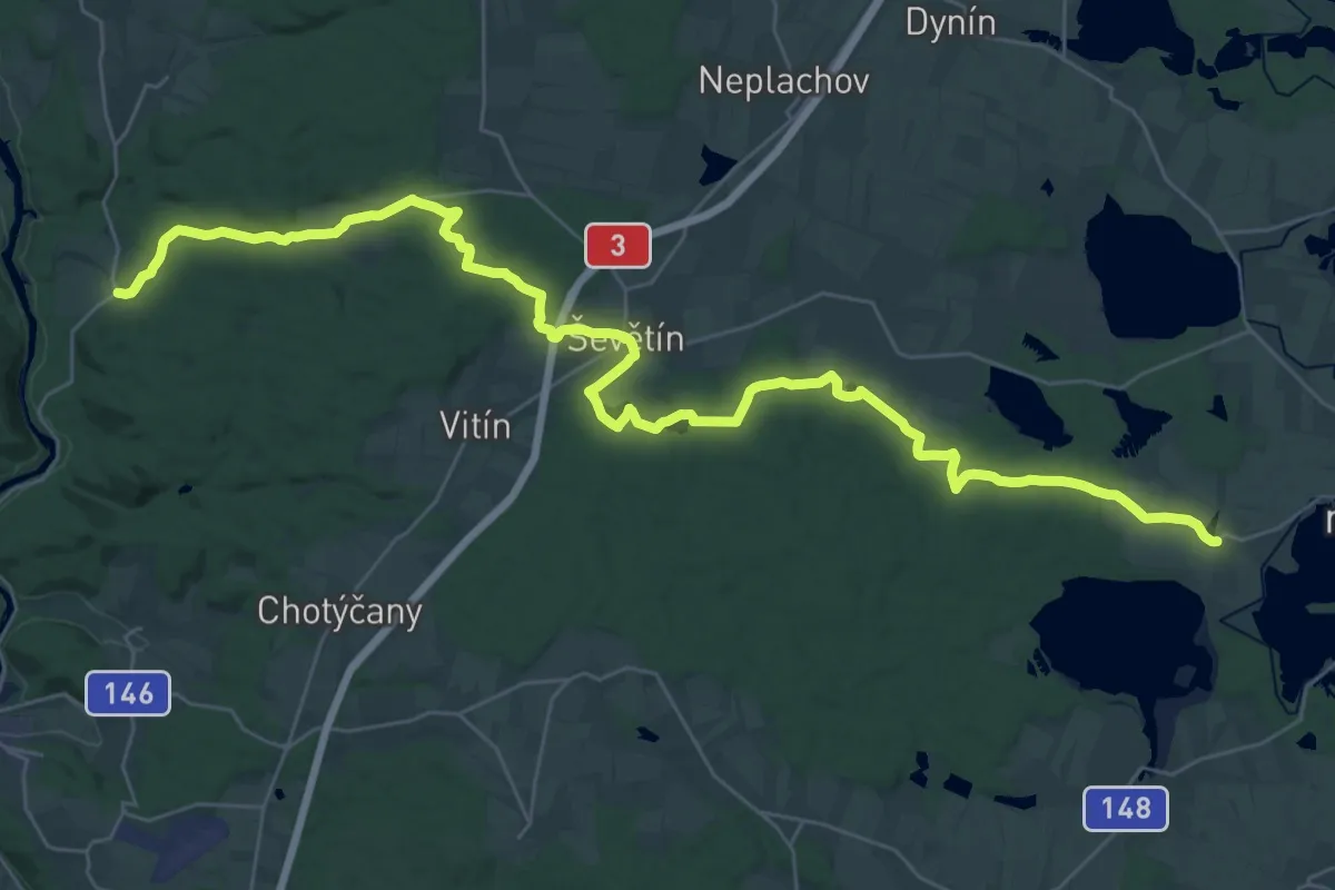
Demanding · Trail
[Z] Poněšice - Smržov
20.8 km · ↑ 244 m · 5 h 43 min
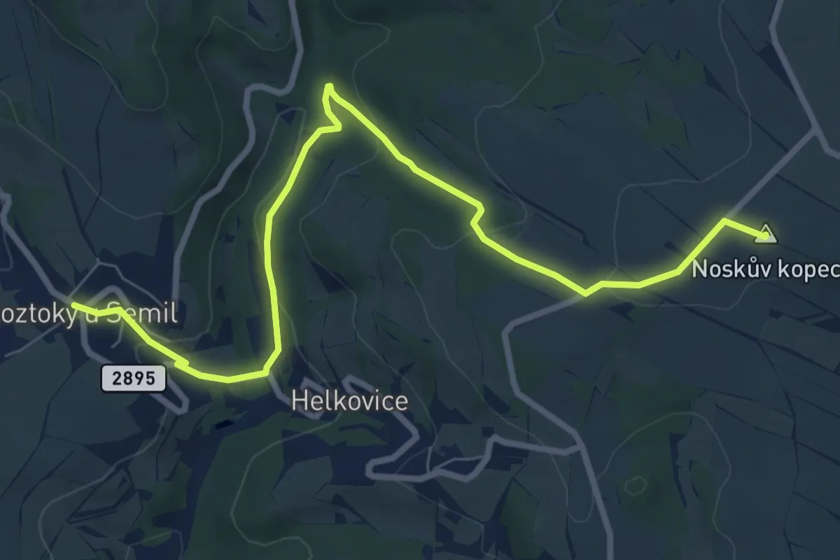
Medium · Summit
[Ž] Poniklá - Roztoky u Semil
8.1 km · ↑ 258 m · 2 h 28 min
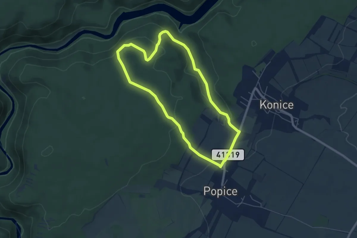
Easy · Trail
[Z] Popický okruh
5.0 km · ↑ 101 m · 1 h 29 min
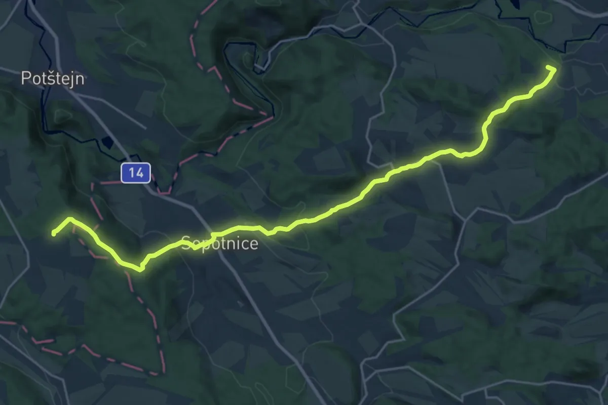
Demanding · Summit
[Ž] Popluží - Potštejn
20.6 km · ↑ 584 m · 6 h 7 min
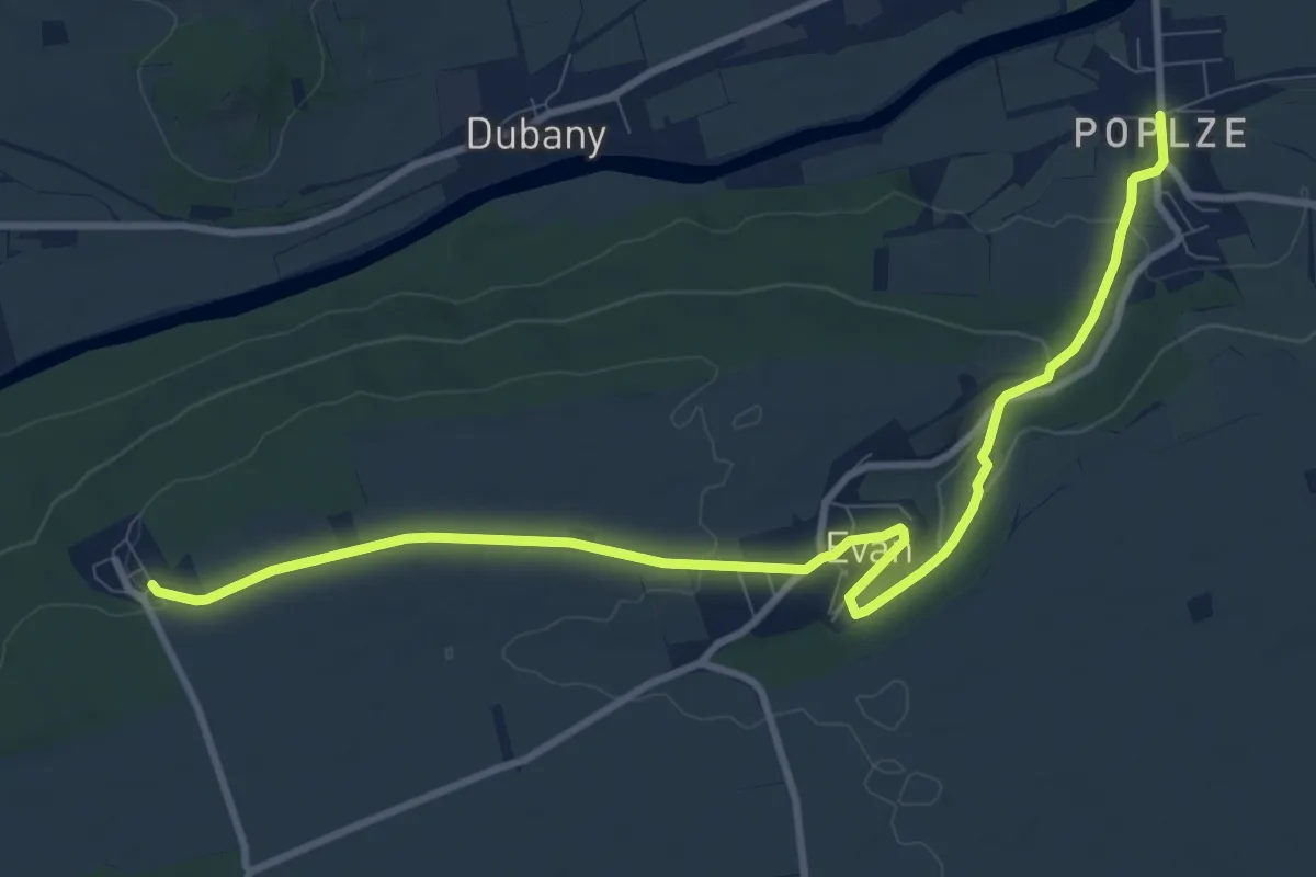
Medium · Trail
[Z] Poplze - Horka
10.5 km · ↑ 156 m · 2 h 49 min
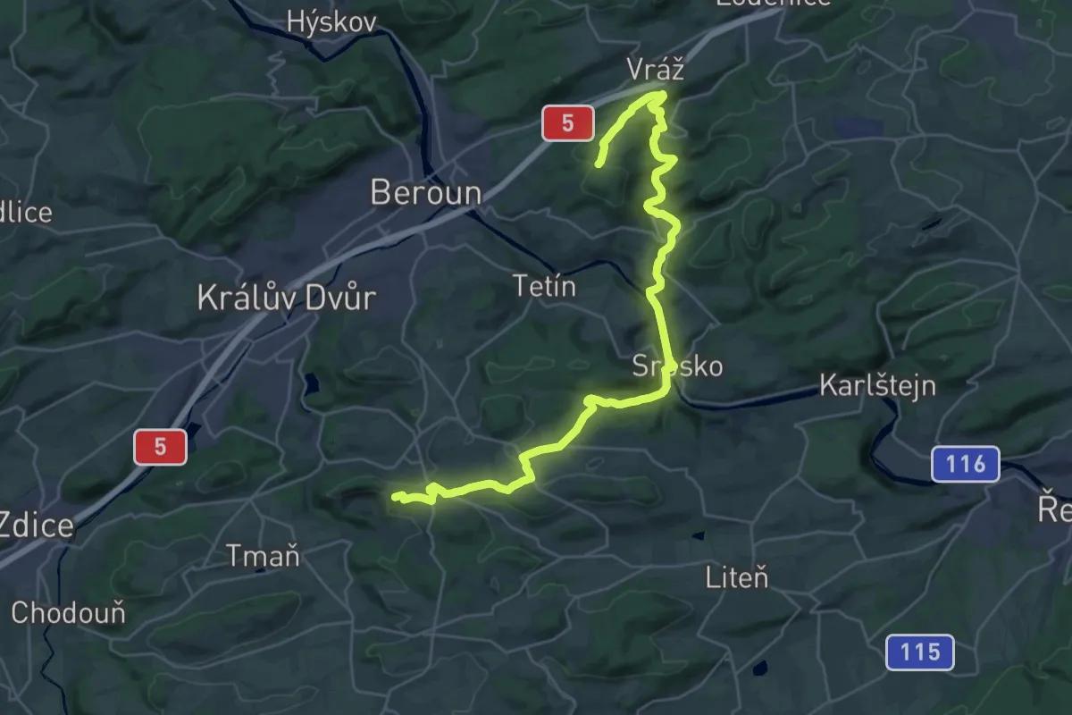
Demanding · Summit
[Ž] Popovice - Dub na Herinkách
30.3 km · ↑ 694 m · 8 h 39 min
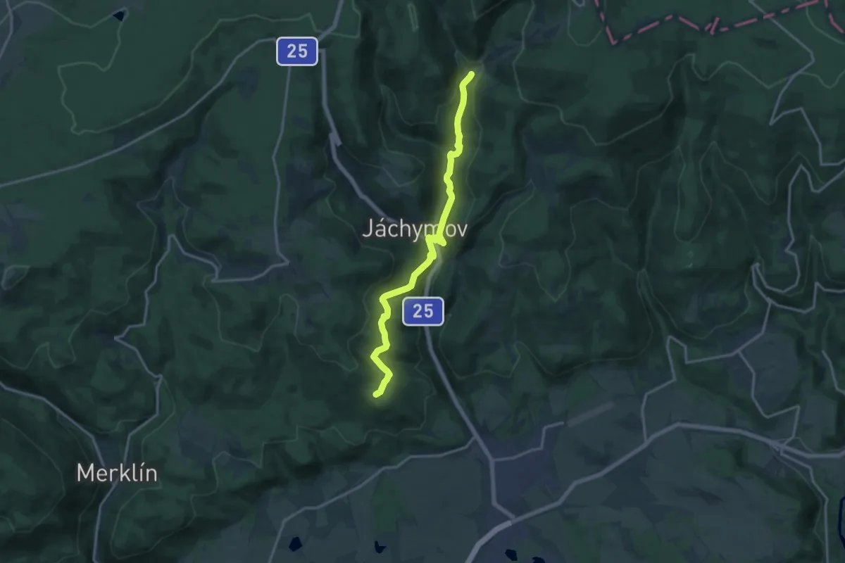
Medium · Trail
[Ž] Popov – Lanovka na Klínovec
13.9 km · ↑ 480 m · 4 h 19 min
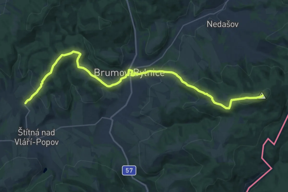
Demanding · Summit
[Ž] Popov (žst.) - Pod Okršliskom (CZ/SK)
24.2 km · ↑ 1095 m · 8 h 5 min
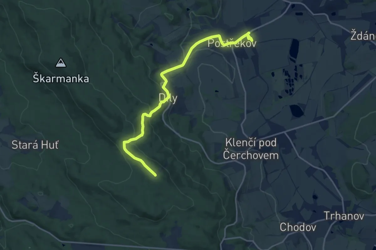
Medium · Summit
[Ž] Postřekov - Výhledy
13.6 km · ↑ 433 m · 4 h 9 min
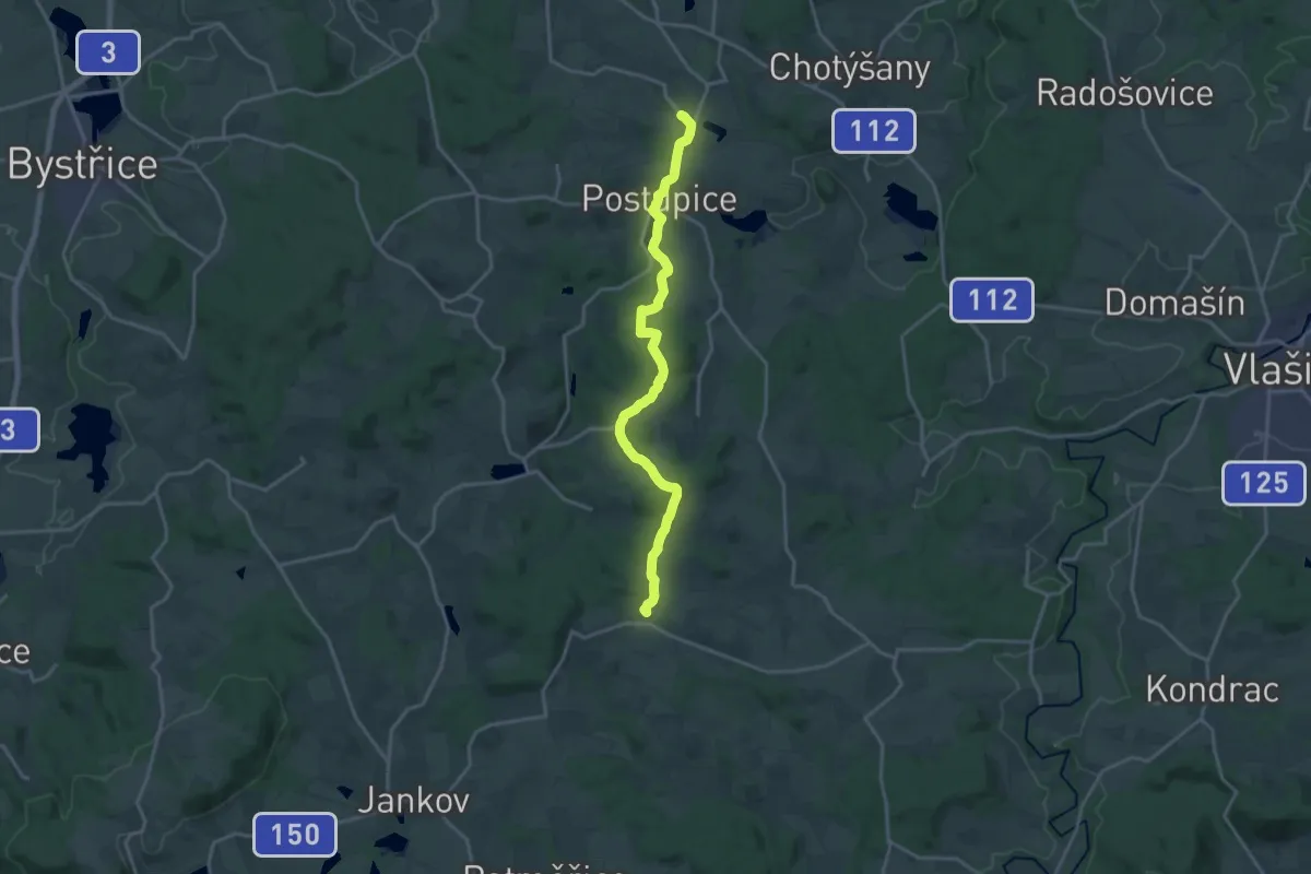
Medium · Trail
[Z] Postupice - Bedřichovice
17.2 km · ↑ 359 m · 4 h 51 min
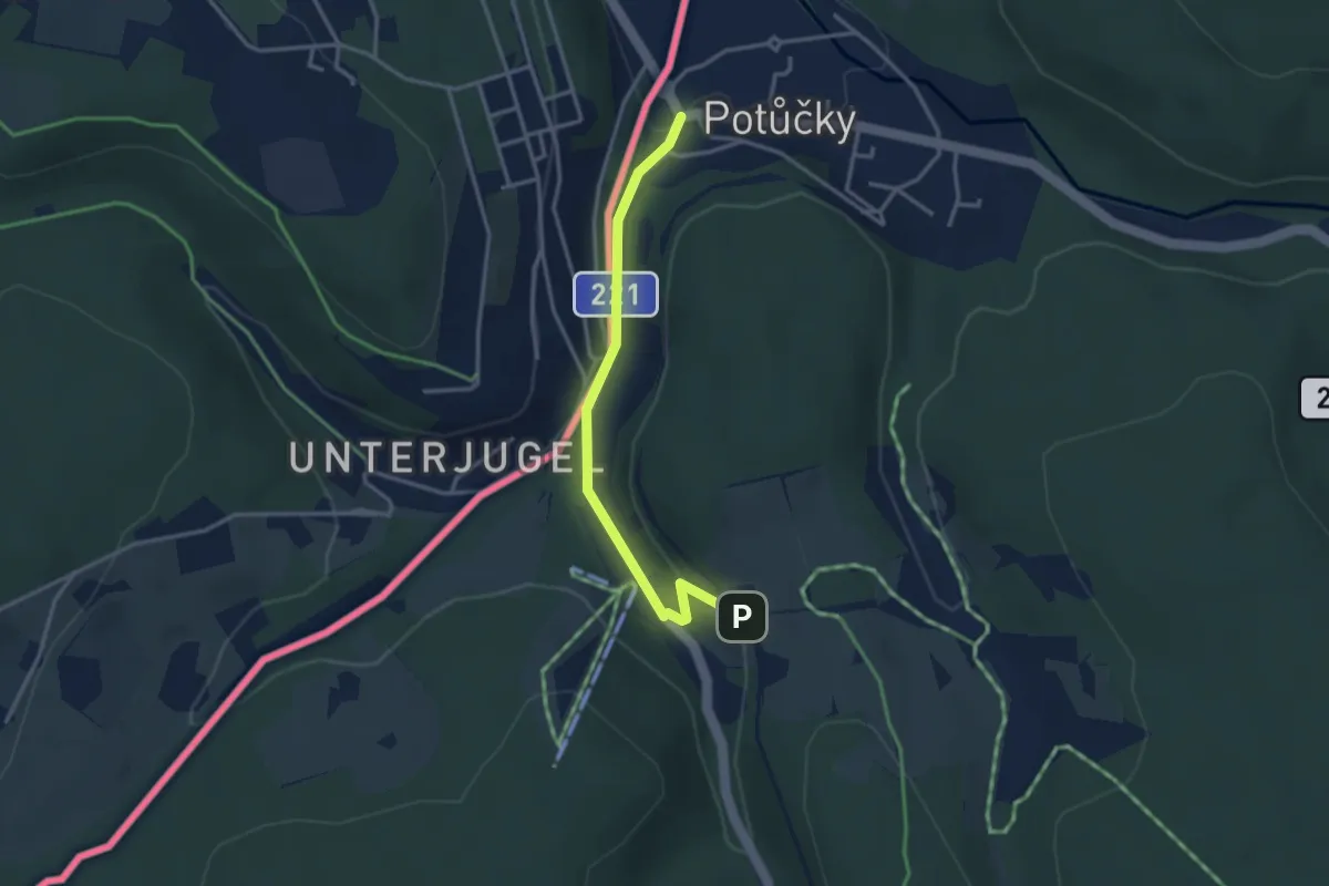
Easy · Trail
[Z] Potůčky - Železná cesta
3.0 km · ↑ 54 m · 49 min
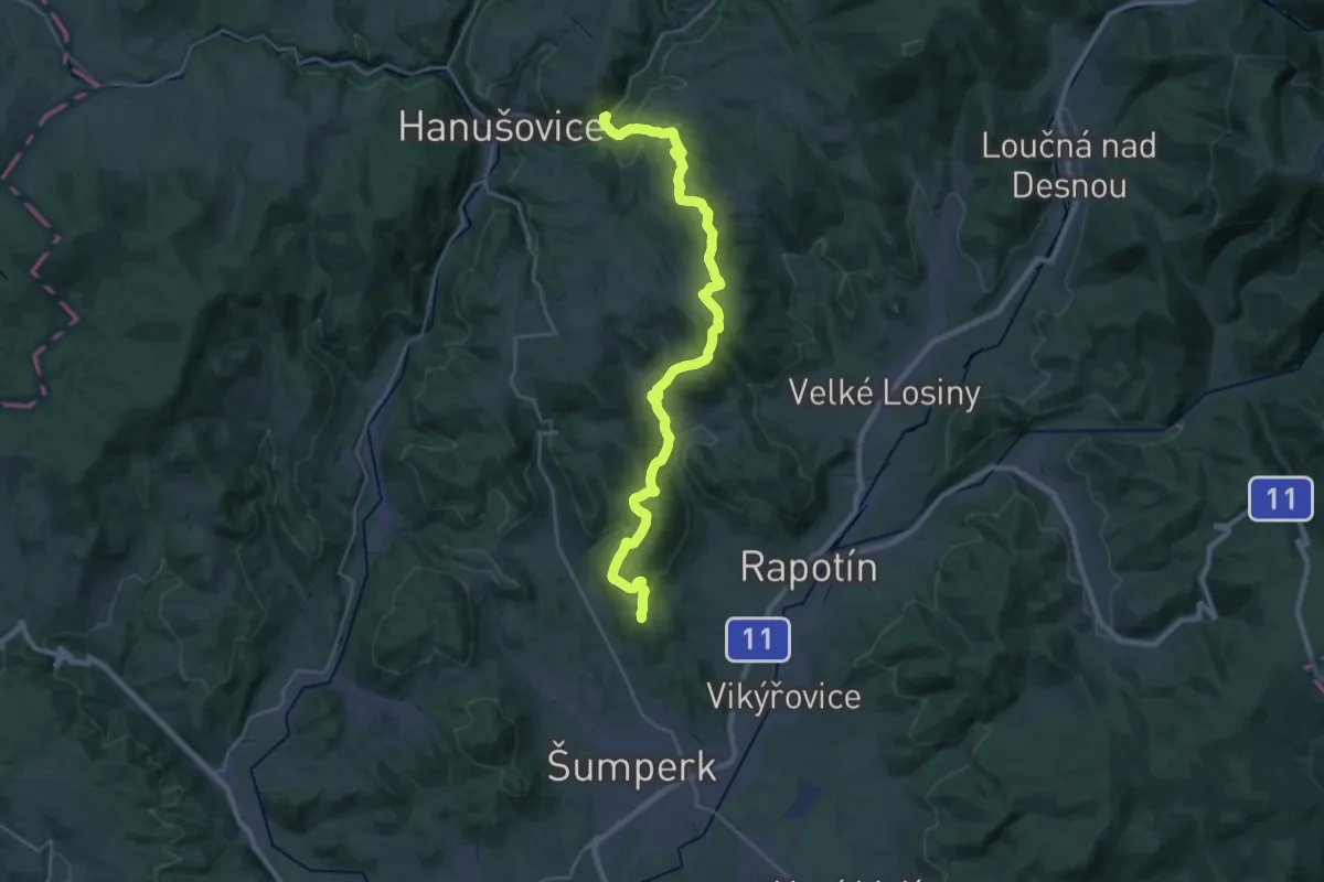
Demanding · Summit
[Ž] Potůčník - Šumperk
29.8 km · ↑ 979 m · 9 h 10 min
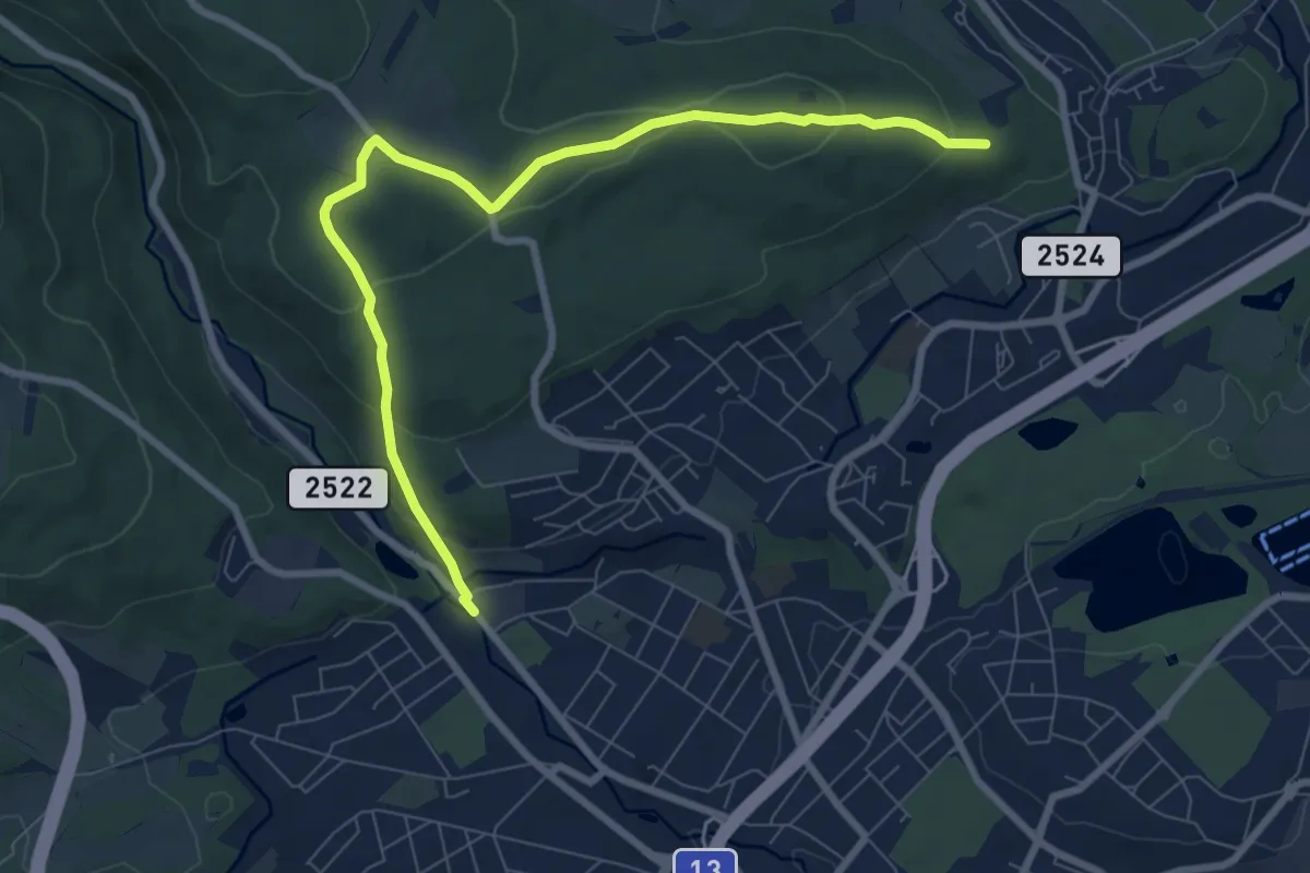
Medium · Trail
[Ž] Povodí Ohře - Pod Partyzánem
8.2 km · ↑ 278 m · 2 h 32 min
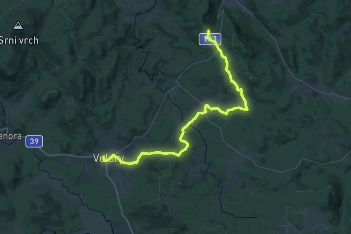
Demanding · Summit
[Z] Prachatice - Volary
41.9 km · ↑ 984 m · 12 h 2 min
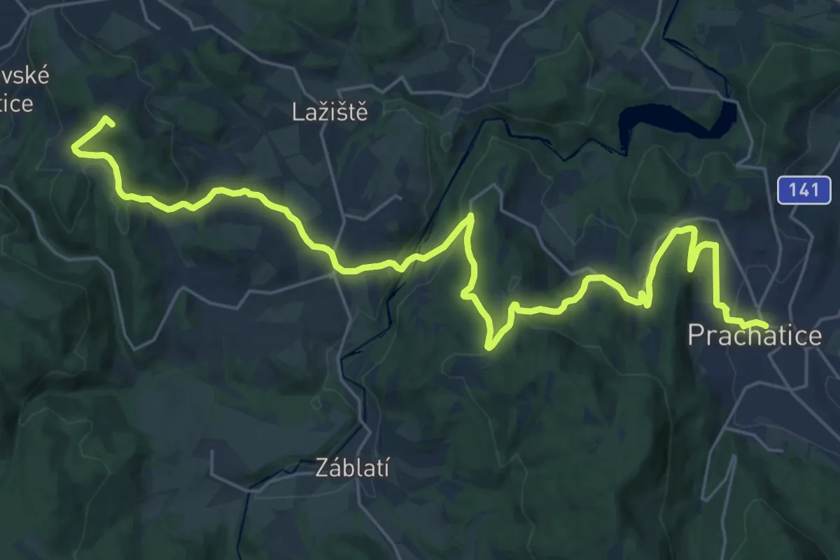
Demanding · Summit
[Z] Prachatice - Volary
30.2 km · ↑ 969 m · 9 h 13 min
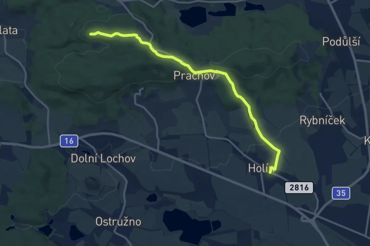
Medium · Summit
[Ž] Prachov - Malý okruh
9.0 km · ↑ 169 m · 2 h 29 min
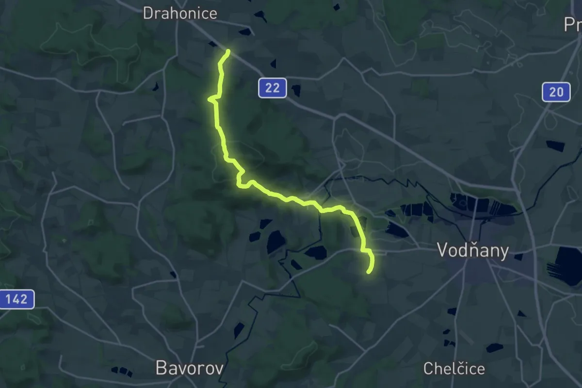
Medium · Trail
[Z] Pražák - Albrechtice (bus)
17.9 km · ↑ 549 m · 5 h 24 min
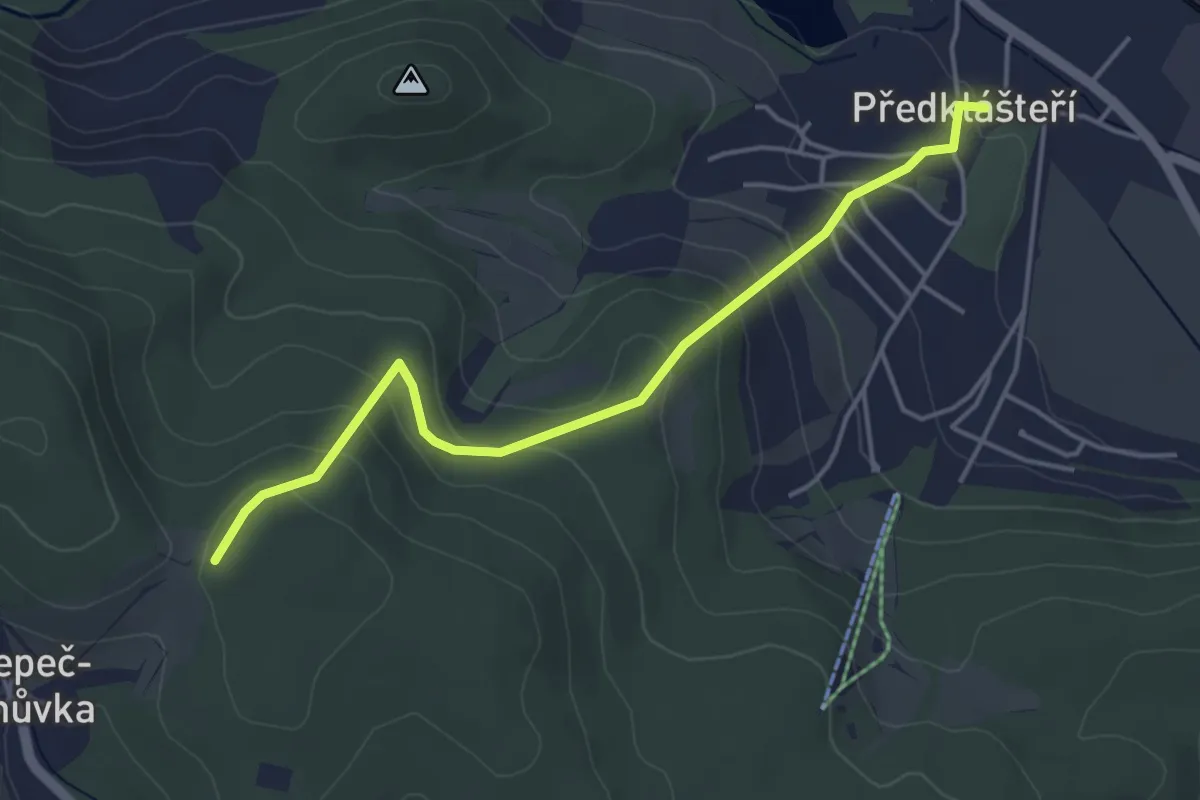
Easy · Trail
[Ž] Předklášteří (bus) - Nad Nelepečí
4.2 km · ↑ 228 m · 1 h 29 min
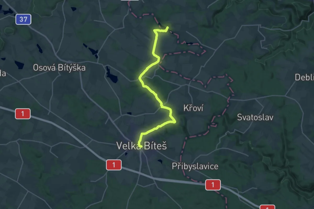
Demanding · Trail
[Z] Předklášteří - Velká Bíteš
19.9 km · ↑ 315 m · 5 h 23 min
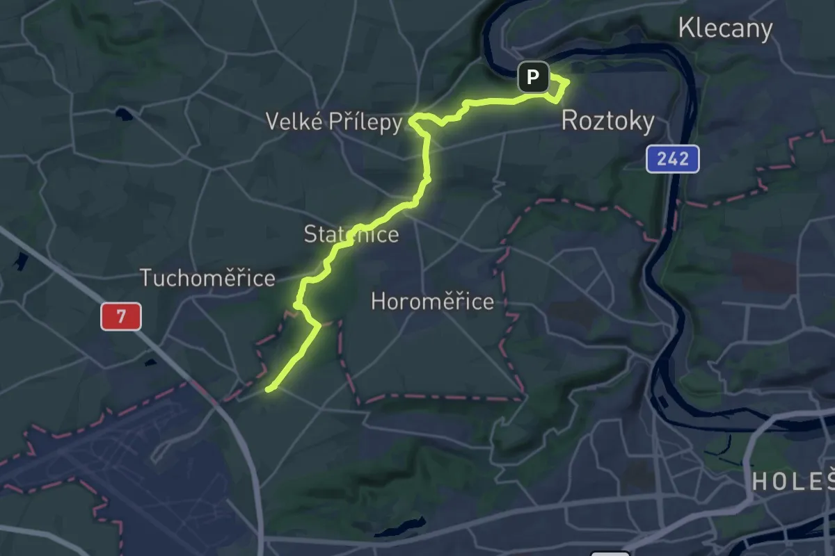
Demanding · Trail
[Ž] Přední Kopanina - Žalov
22.1 km · ↑ 384 m · 6 h 2 min