Trails in Czech Republic
4,056 hiking trails, each with its route, climb, walking time and grade.
All trails, page 78 of 85
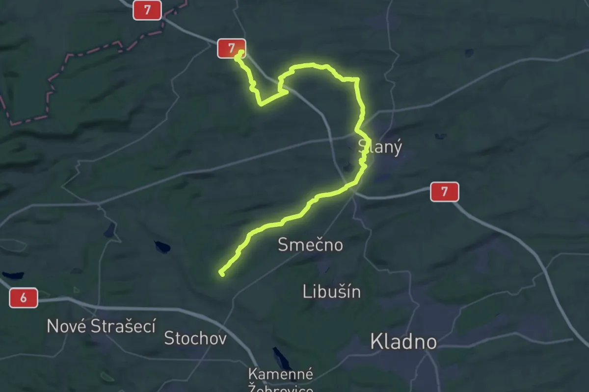
Demanding · Trail
[Z] Smečno - Třebíz (bus)
24.5 km · ↑ 200 m · 6 h 38 min
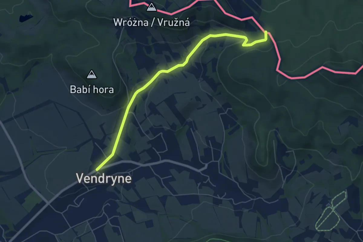
Easy · Trail
[Z] Smilovice - Řeka - Javorový
5.7 km · ↑ 153 m · 1 h 40 min
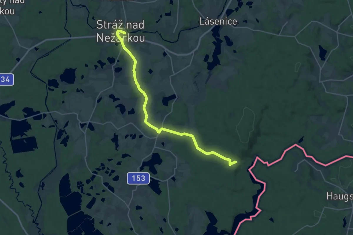
Demanding · Trail
[Ž] Smírčí Vrch - Stráž nad Nežárkou
21.5 km · ↑ 151 m · 5 h 24 min
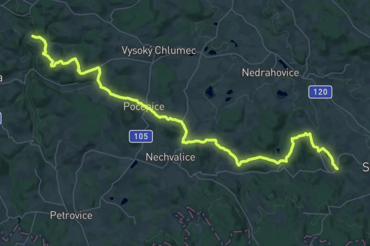
Demanding · Trail
[Ž] Smrčí - Pořešín - Kvasejovice
20.1 km · ↑ 529 m · 6 h 8 min
Easy · Trail
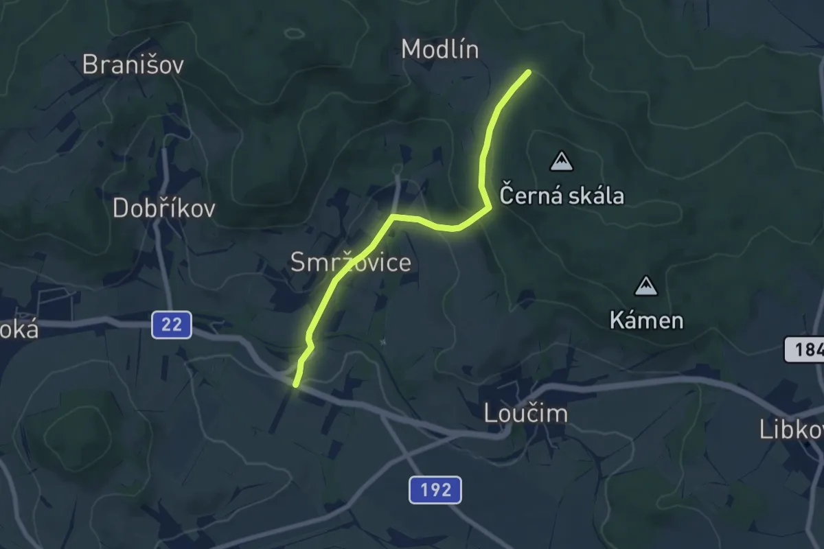
[Ž] Smržovice (bus) - Modlín (rozc.)
5.4 km · ↑ 169 m · 1 h 39 min
Demanding · Trail
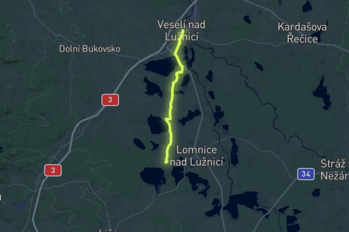
[Ž] Smržov - Veselí nad Lužnicí
28.9 km · ↑ 158 m · 7 h 10 min
Demanding · Trail
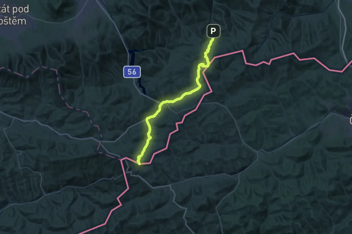
[Z] Smutníky - Morávka
23.0 km · ↑ 680 m · 7 h 5 min
Easy · Summit
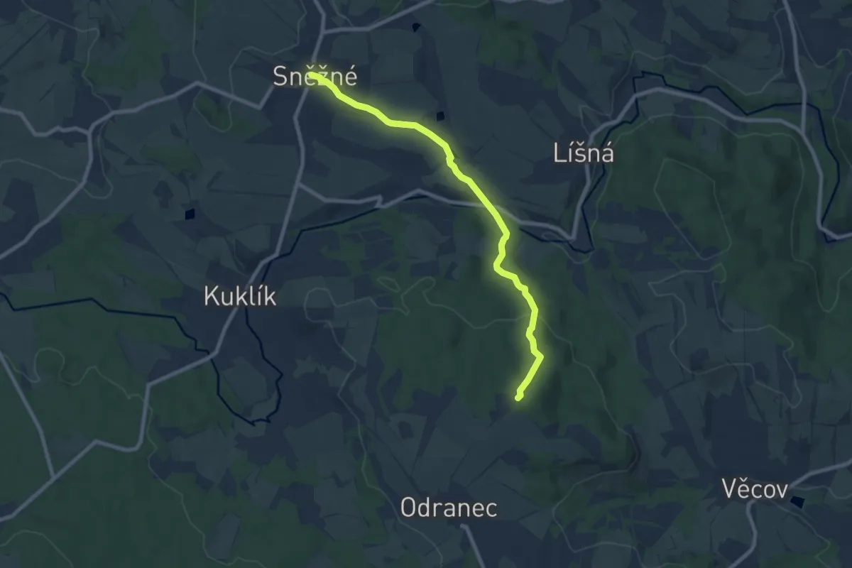
[Z] Sněžné - Bohdalec
7.4 km · ↑ 253 m · 2 h 18 min
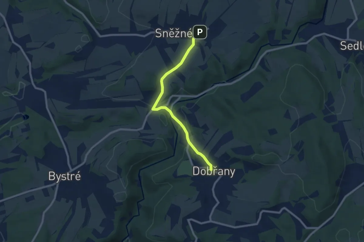
Easy · Trail
[Z] Sněžné - Dobřany
5.4 km · ↑ 125 m · 1 h 33 min
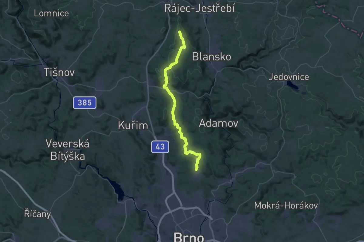
Demanding · Summit
[Z] Soběšice - U Jelínka
39.0 km · ↑ 1011 m · 11 h 24 min
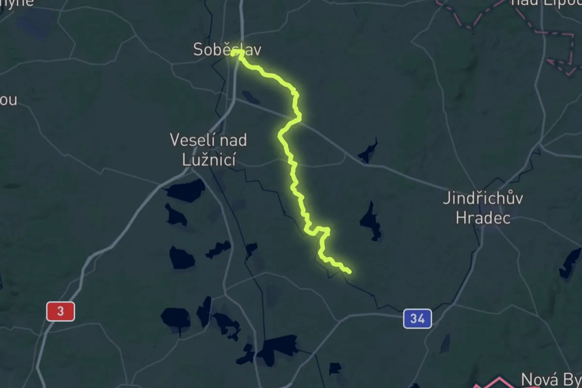
Demanding · Trail
[Ž] Soběslav - Jemčina
29.2 km · ↑ 219 m · 7 h 47 min
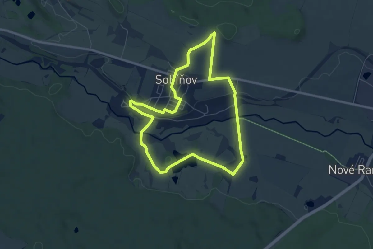
Easy · Trail
[Z] Sobíňov - okruh
5.8 km · ↑ 83 m · 1 h 37 min
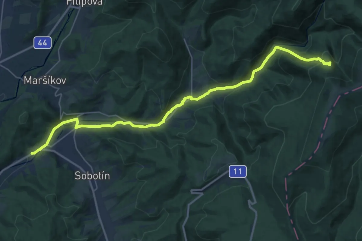
Demanding · Summit
[Ž] Sobotín (žst.) - Skřítek
21.3 km · ↑ 782 m · 6 h 44 min
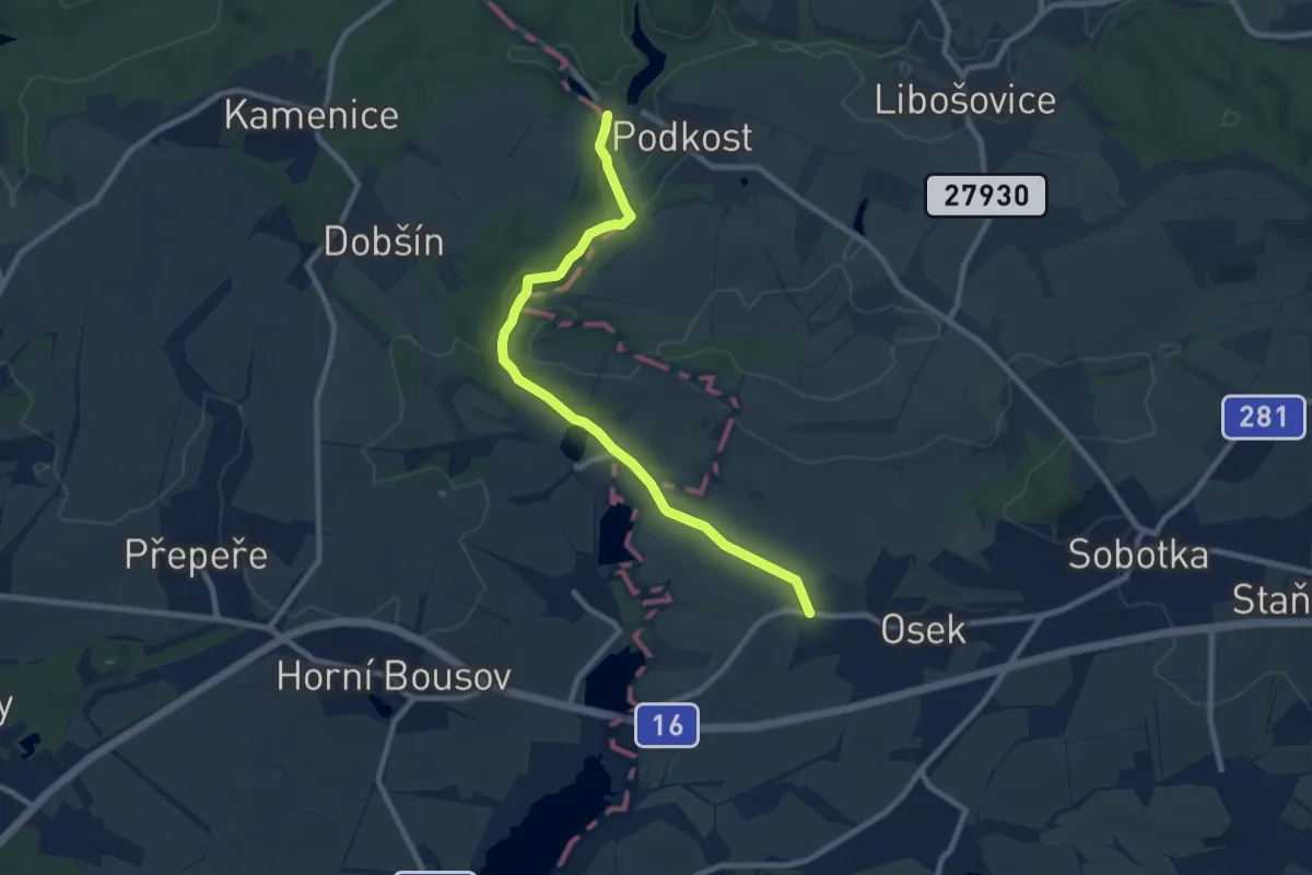
Medium · Trail
[Ž] Sobotka - Libošovice - Kost - Sobotka (žst.)
8.2 km · ↑ 90 m · 2 h 9 min
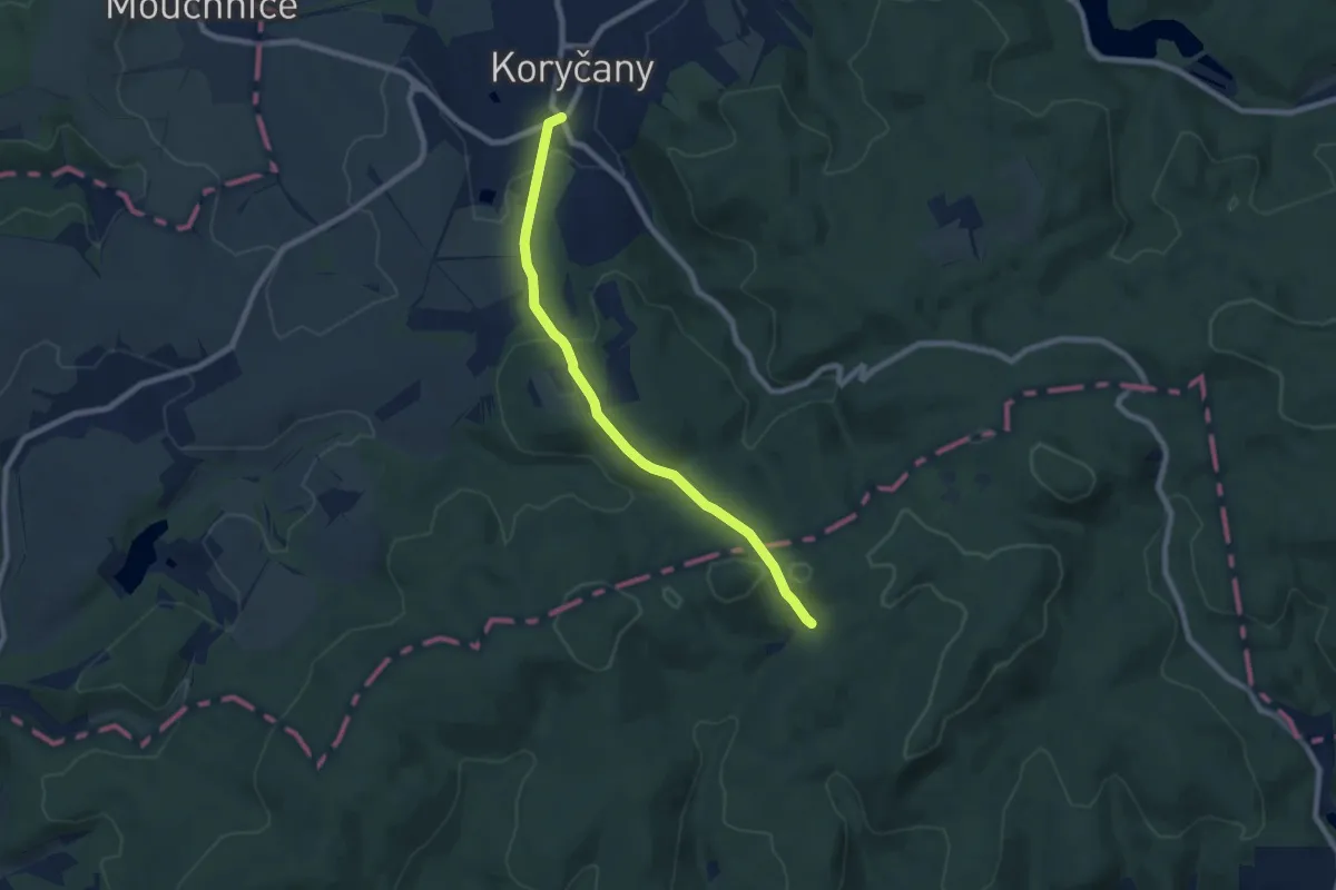
Easy · Trail
[Ž] Sobůlky - Kyjov - Koryčany
7.2 km · ↑ 265 m · 2 h 16 min
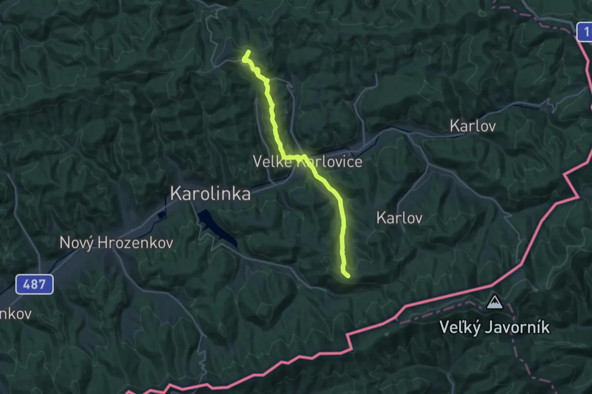
Demanding · Summit
[Ž] Soláň hřeben
19.0 km · ↑ 838 m · 6 h 18 min
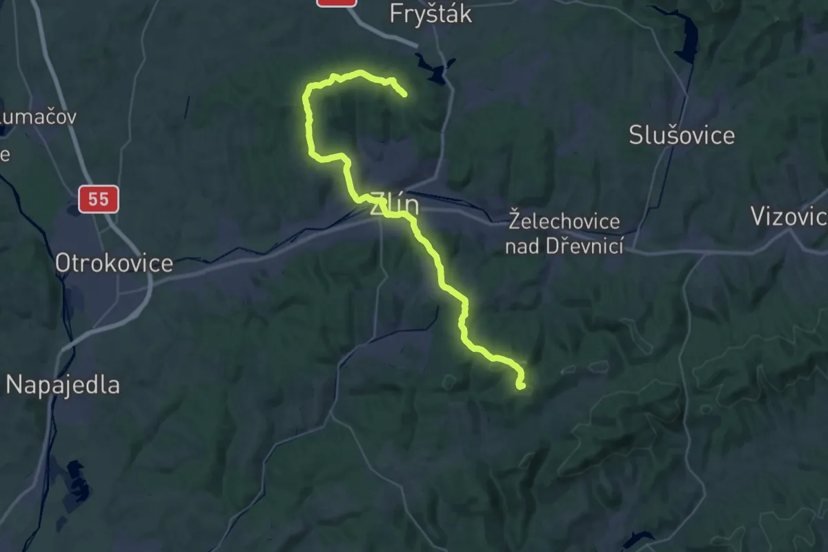
Demanding · Summit
[Ž] Solné - Zlín
38.9 km · ↑ 894 m · 11 h 8 min
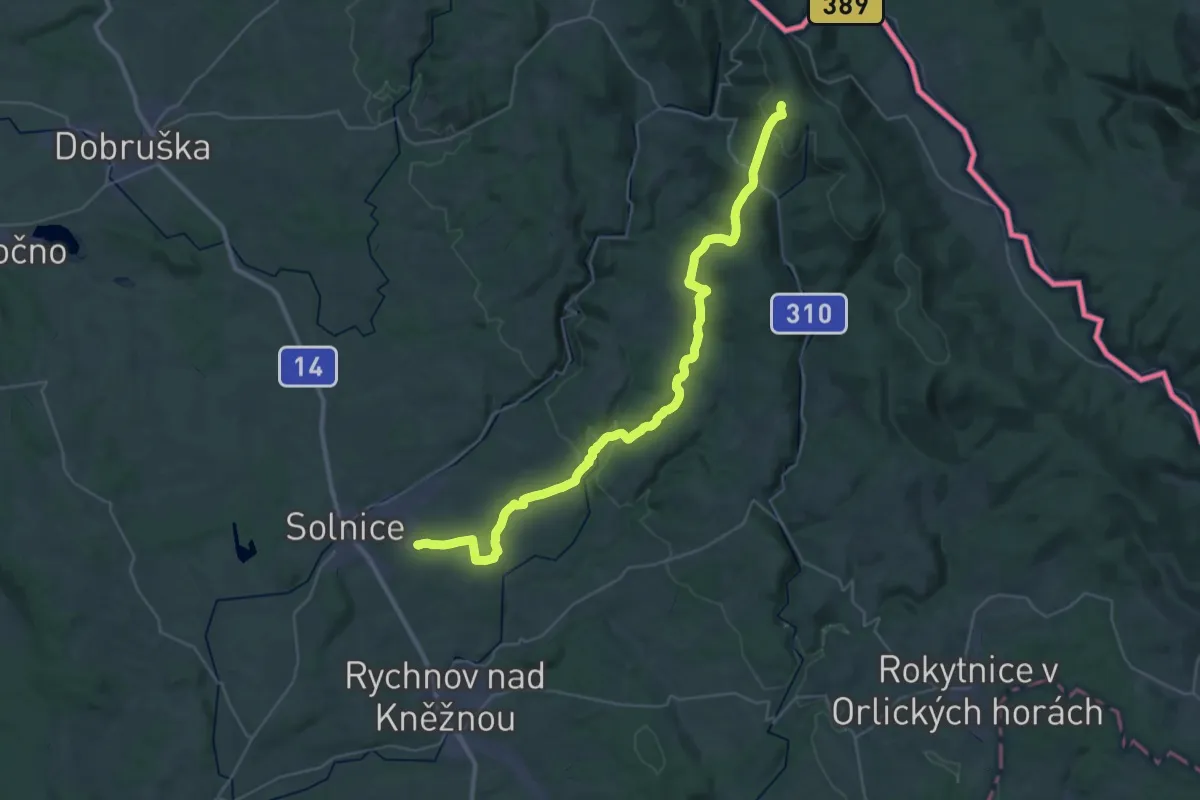
Demanding · Summit
[Z] Solnice - Velká Deštná
38.9 km · ↑ 967 m · 11 h 17 min
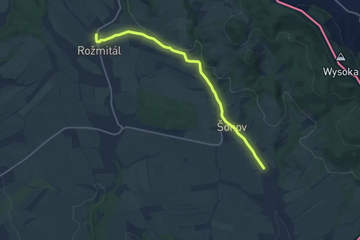
Medium · Trail
[Z] Šonov - Rožmitál
8.5 km · ↑ 114 m · 2 h 16 min
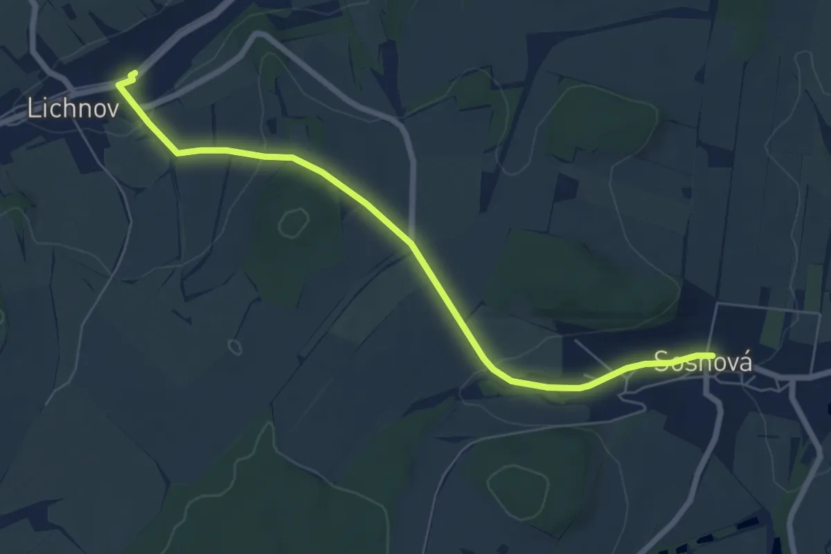
Easy · Trail
[Ž] Sosnová (bus) - Lichnov (bus)
6.2 km · ↑ 155 m · 1 h 48 min
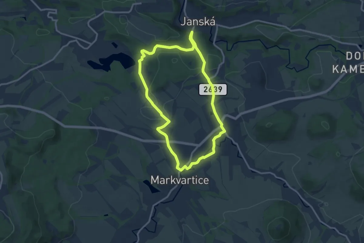
Easy · Trail
[Z] Soutěskou Olešničky
7.4 km · ↑ 135 m · 2 h 8 min
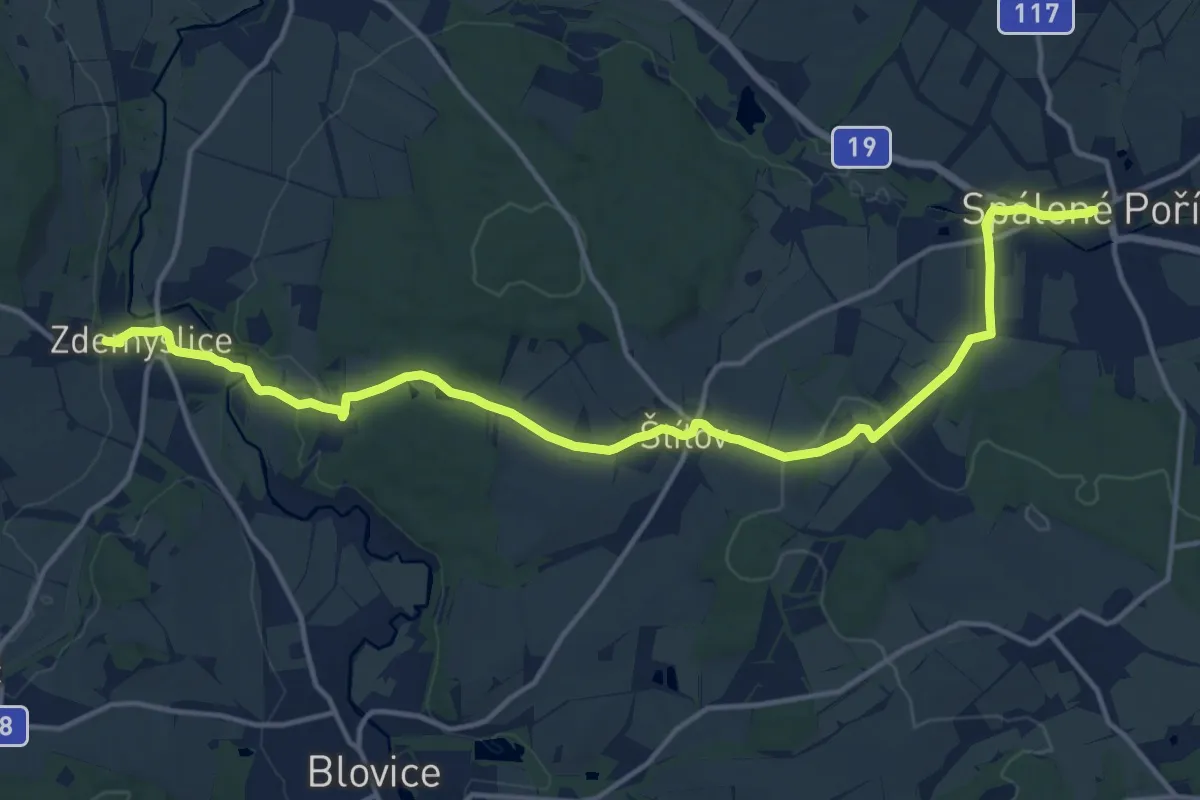
Medium · Trail
[Ž] Spálené Pořičí - Zdemyslice
16.3 km · ↑ 278 m · 4 h 26 min
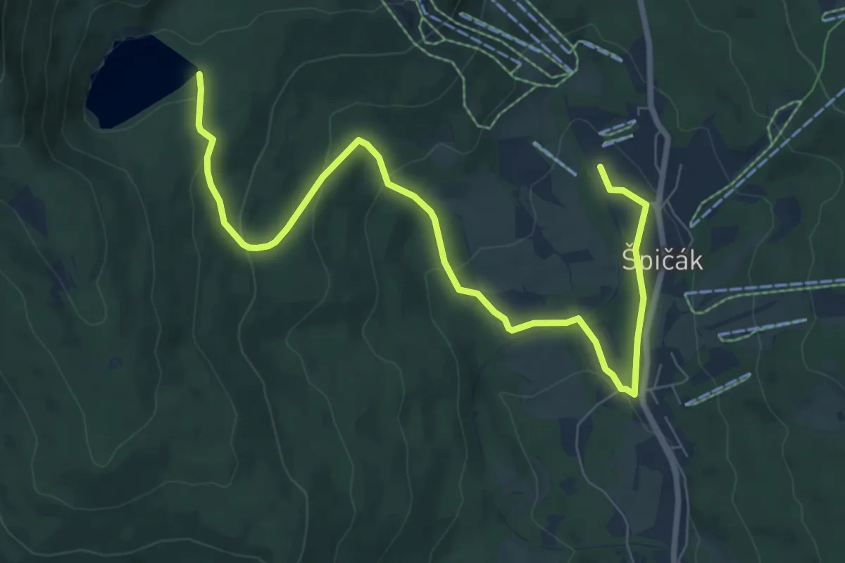
Medium · Trail
[Ž] Špičák - Čertovo jezero
8.6 km · ↑ 302 m · 2 h 41 min
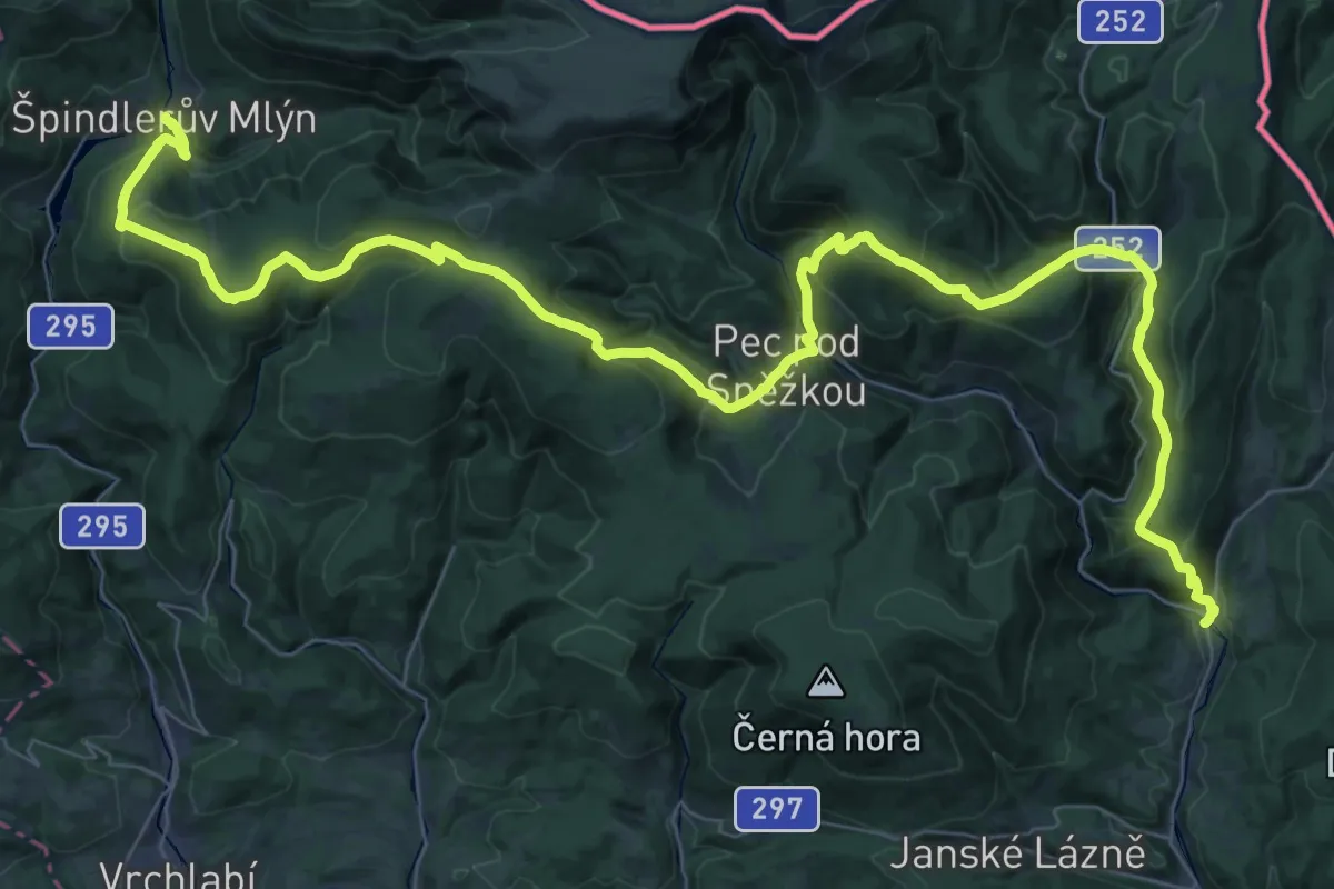
Demanding · Trail
[Z] Špindlerův Mlýn - Horní Maršov
28.8 km · ↑ 1504 m · 10 h 23 min
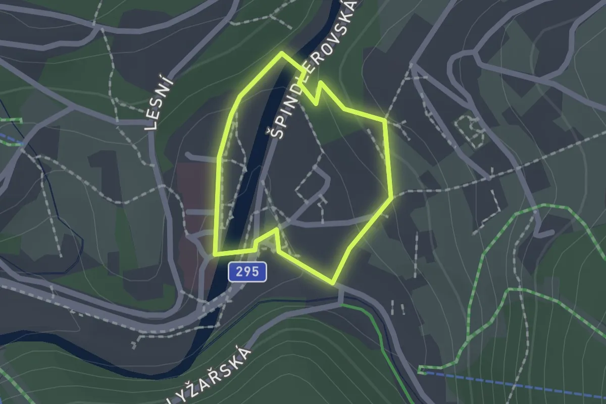
Easy · Trail
[Z] Špindlerův mlýn - okruh
1.1 km · ↑ 31 m · 21 min
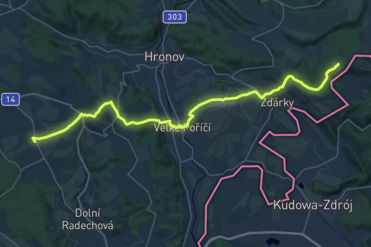
Demanding · Summit
[Ž] Špinka - Hráz - Závrchy (vyhl.)
22.7 km · ↑ 449 m · 6 h 19 min
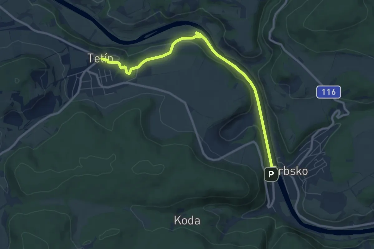
Easy · Trail
[Z] Srbsko - Tetín
7.3 km · ↑ 75 m · 1 h 53 min
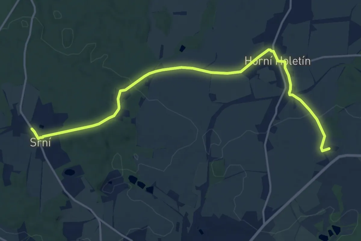
Medium · Summit
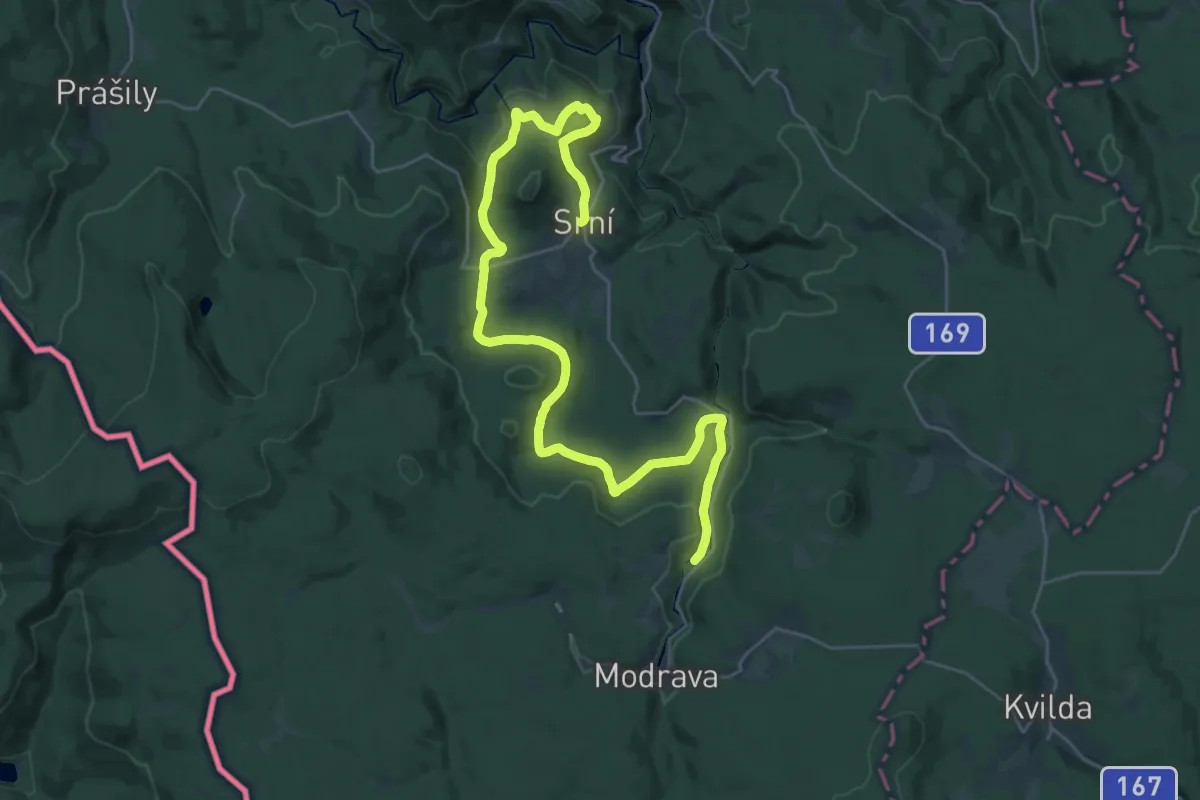
[Z] Srní - Holetín - Čertovina (Hlinsko)
12.4 km · ↑ 215 m · 3 h 23 min
Medium · Trail
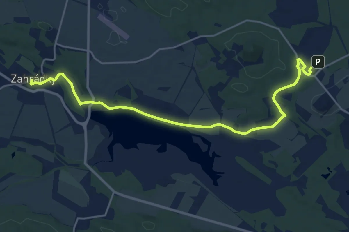
[Z] Srní - Hradlový most (Rechle)
16.9 km · ↑ 167 m · 4 h 38 min
Medium · Trail
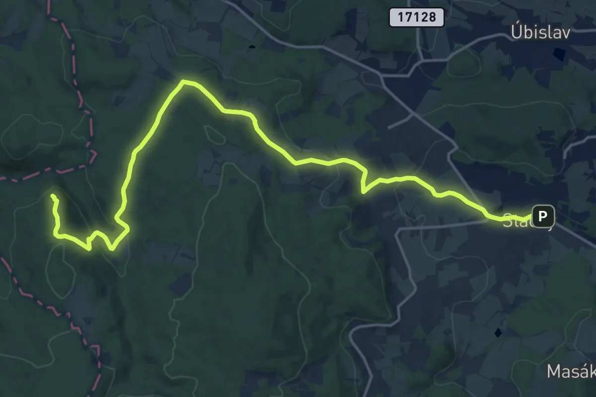
[Ž] Srní - Zahrádky
12.3 km · ↑ 79 m · 3 h 4 min
Medium · Trail
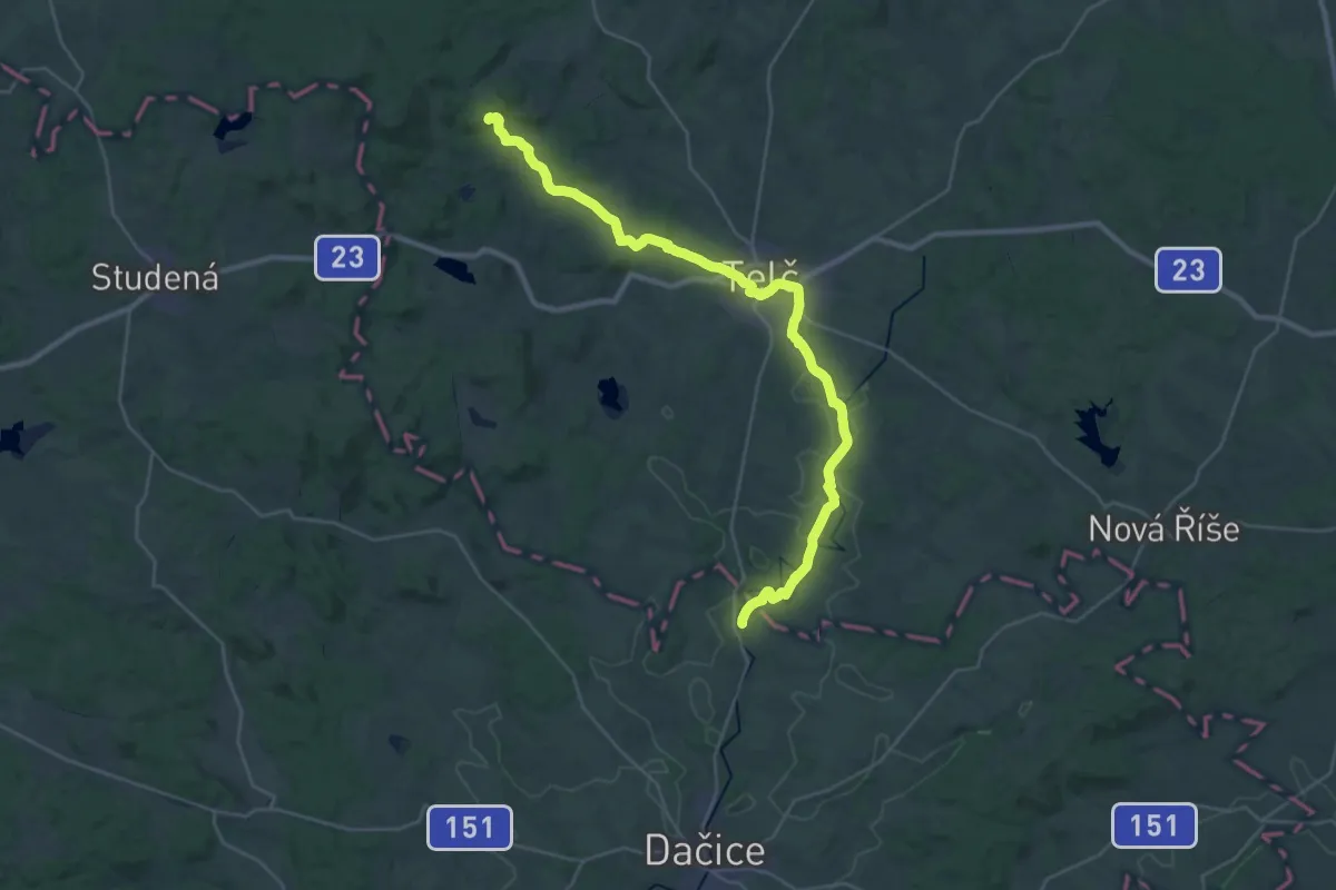
[Ž] Stachy - Kašperské hory
17.6 km · ↑ 528 m · 5 h 18 min
Medium · Trail
[Z] Štamberk - Slavonice
16.8 km · ↑ 139 m · 4 h 37 min
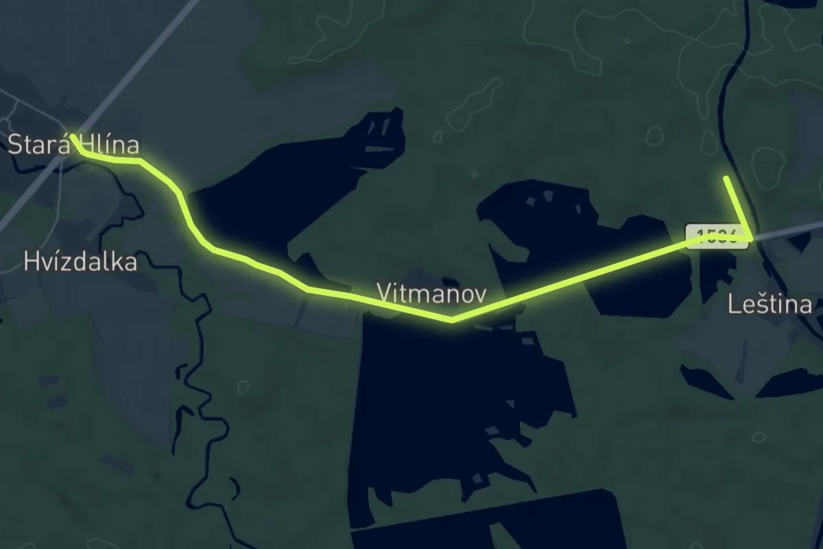
Easy · Trail
[Z] Stará Hlína - Pomník E. Destinnové
7.4 km · ↑ 37 m · 1 h 50 min
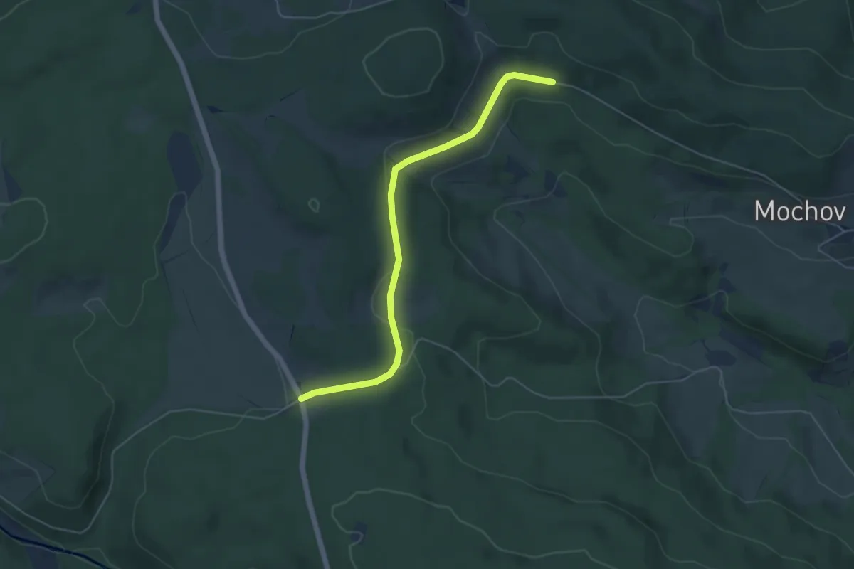
Easy · Trail
[Ž] Stará huť - Radkov
4.8 km · ↑ 74 m · 1 h 17 min
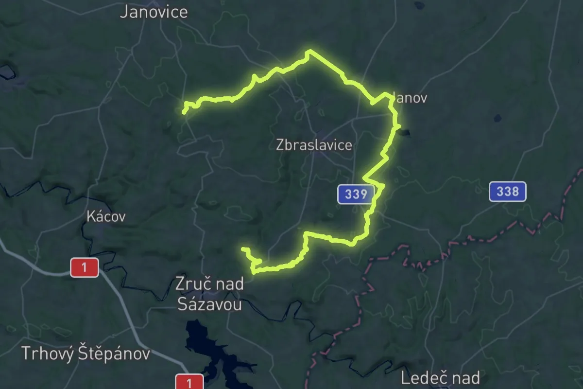
Demanding · Trail
[Z] Stará Huť - Želivec
35.6 km · ↑ 564 m · 10 h 5 min
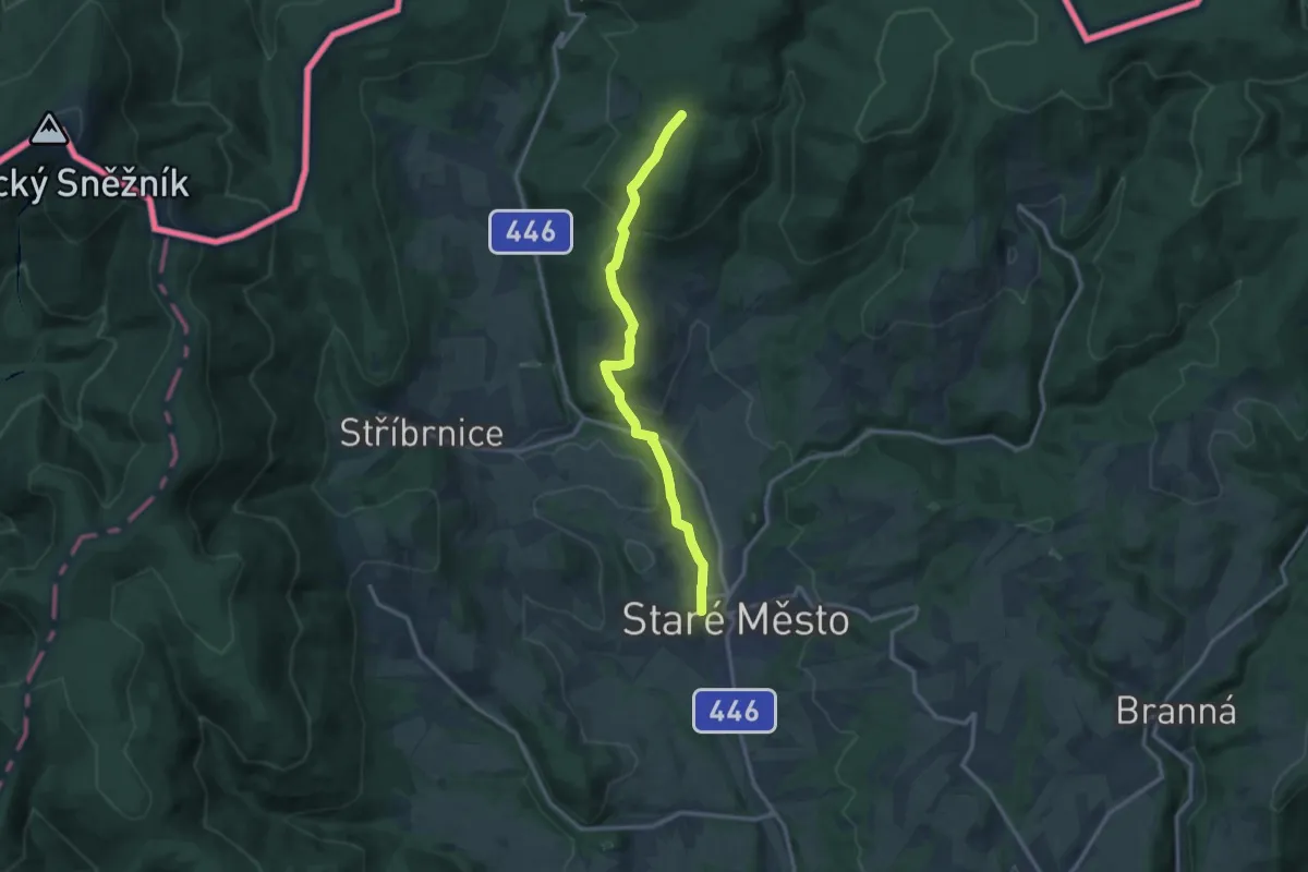
Medium · Trail
[Ž] Staré Město -Kunčická hora
12.2 km · ↑ 394 m · 3 h 44 min
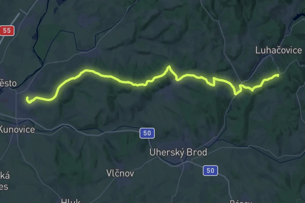
Demanding · Summit
[Z] Staré Město - Luhačovice
55.5 km · ↑ 1092 m · 15 h 28 min
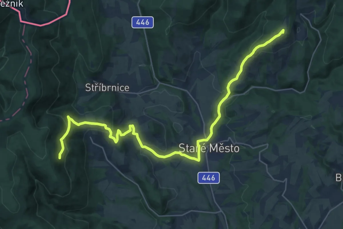
Demanding · Summit
[Z] Staré město - Paprsek
26.1 km · ↑ 1023 m · 8 h 23 min
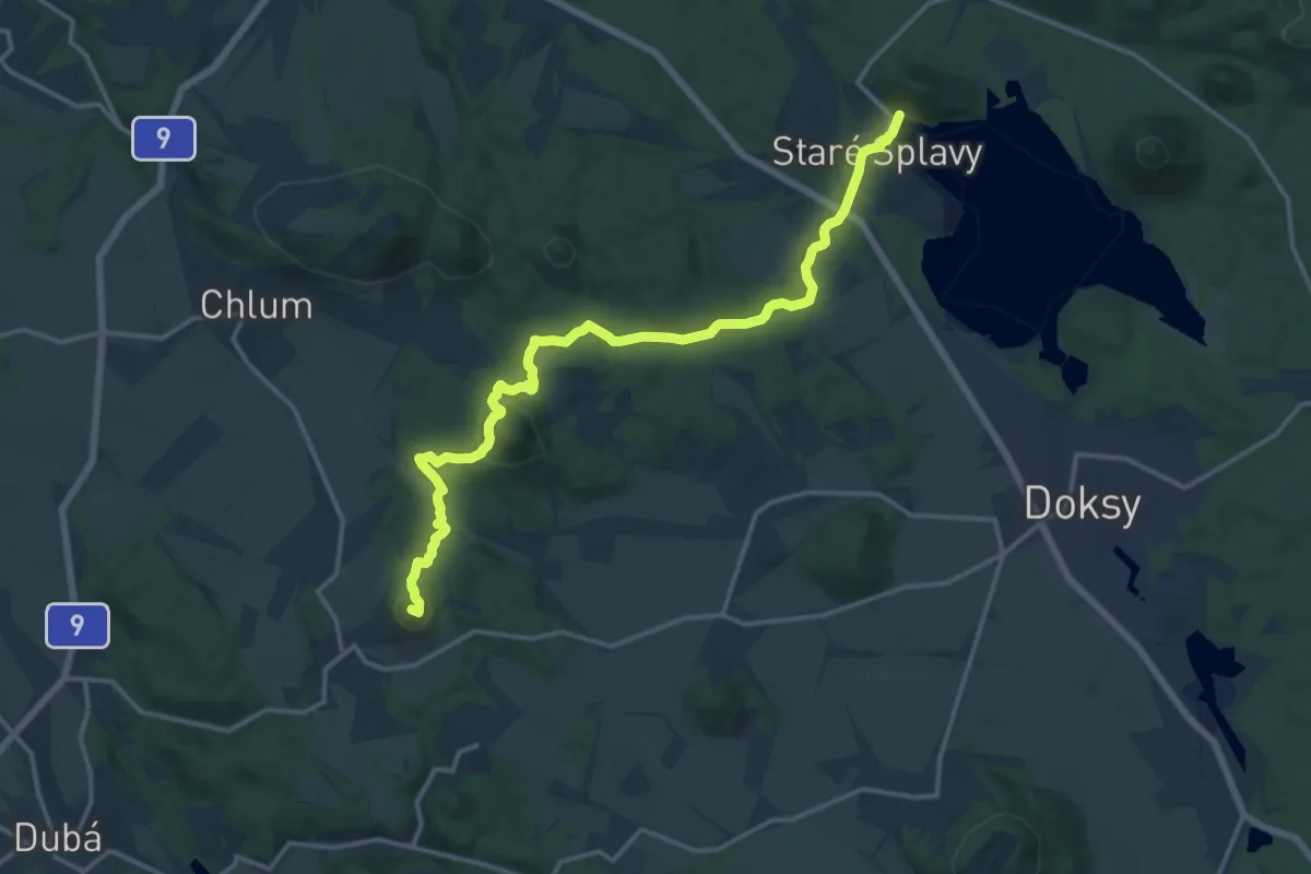
Medium · Summit
[Ž] Staré splavy - Panská ves
15.5 km · ↑ 439 m · 4 h 37 min
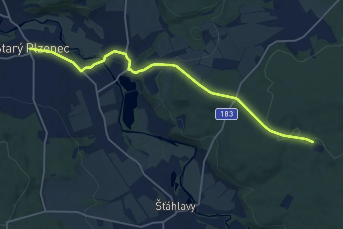
Medium · Trail
[Z] Starý Plzenec - Sedlec - Pod Sedleckou skálou - Svidná
10.3 km · ↑ 183 m · 2 h 50 min
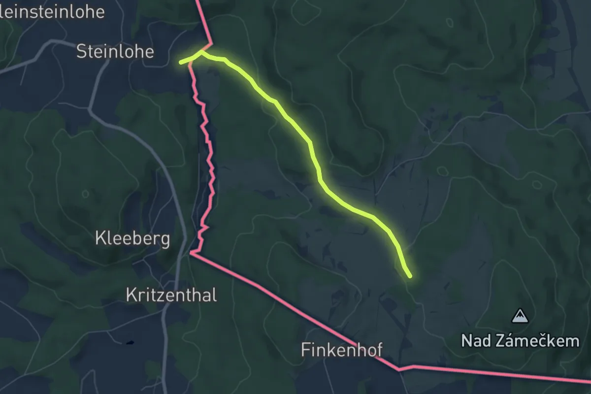
Easy · Trail
[Ž] státní hranice - Lučina
5.7 km · ↑ 107 m · 1 h 35 min
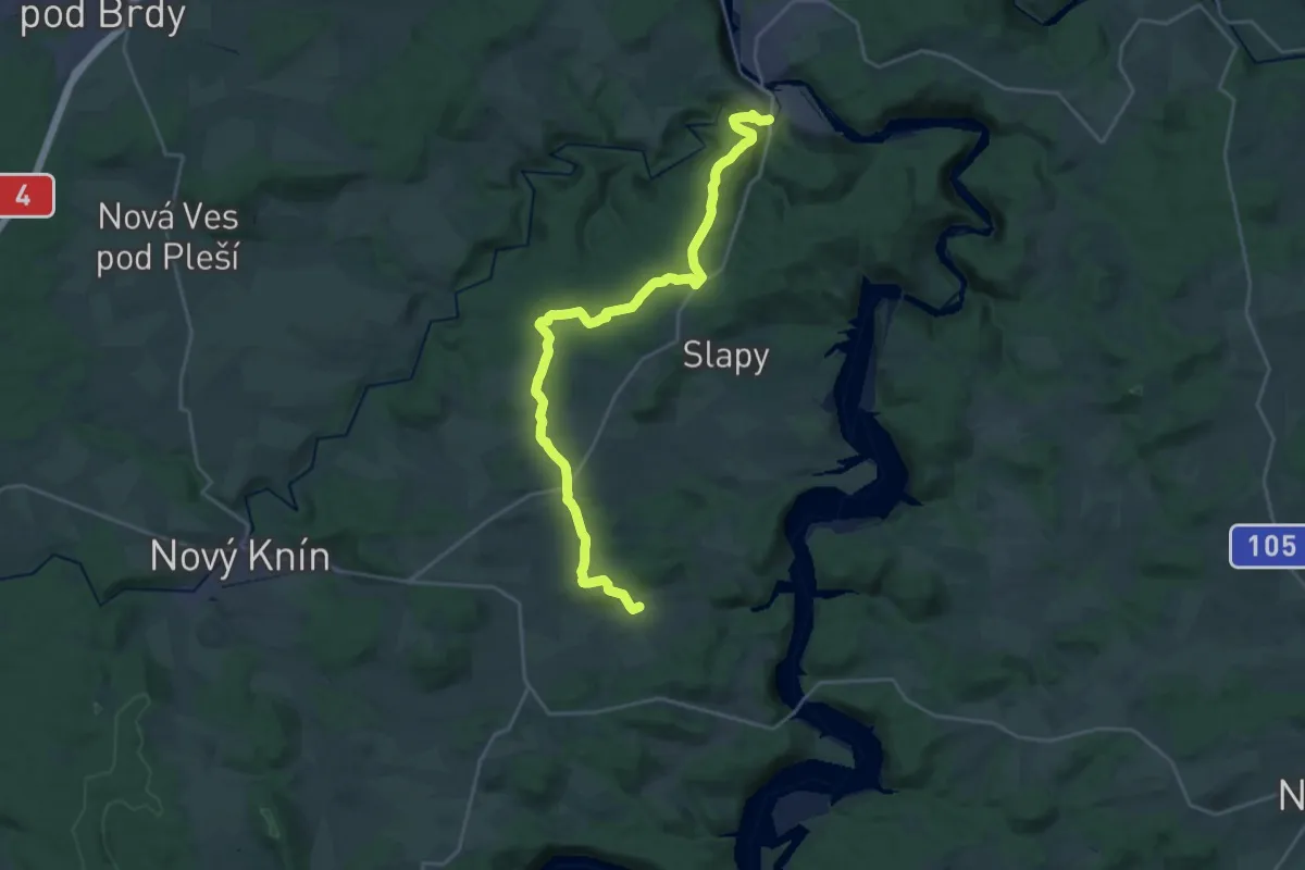
Demanding · Trail
[Z] Štěchovice - Čím
24.7 km · ↑ 487 m · 6 h 53 min
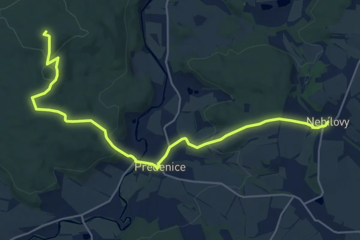
Medium · Summit
[Z] Štěnovice - Nebílovy
13.0 km · ↑ 350 m · 3 h 50 min
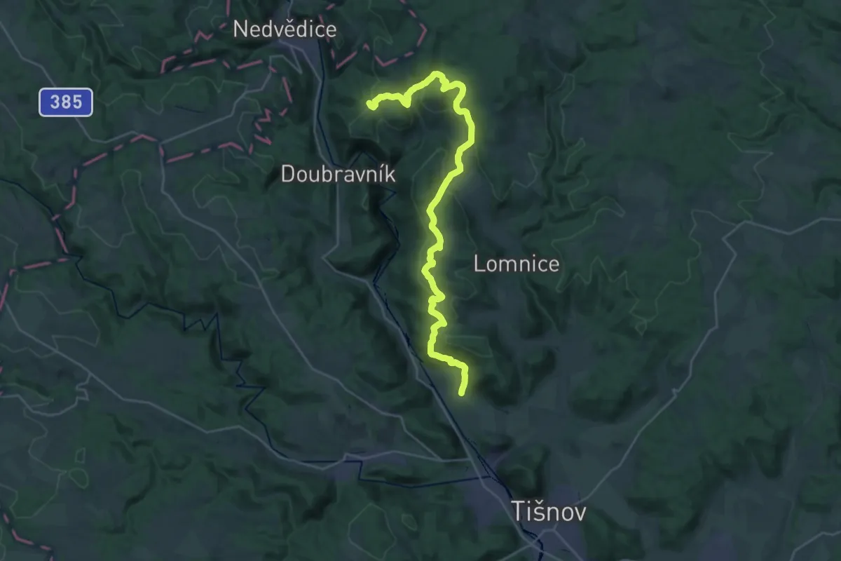
Medium · Trail
[Ž] Štěpánovice (žst.) - Křížovice
15.0 km · ↑ 605 m · 5 h
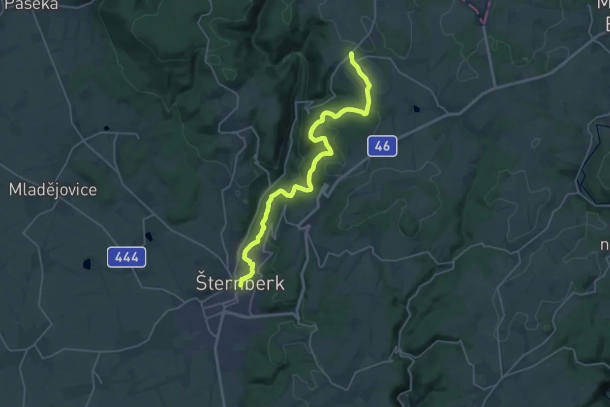
Demanding · Trail
[Ž] Šternberk (nám) - Dalov (bus)
20.1 km · ↑ 547 m · 5 h 56 min
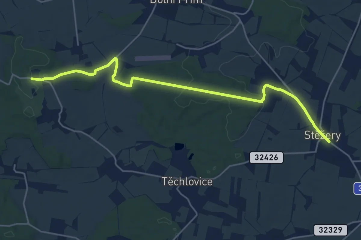
Medium · Trail
[Ž] Stěžery - Hrádek u Nechanic (zám., bus)
14.9 km · ↑ 156 m · 3 h 51 min
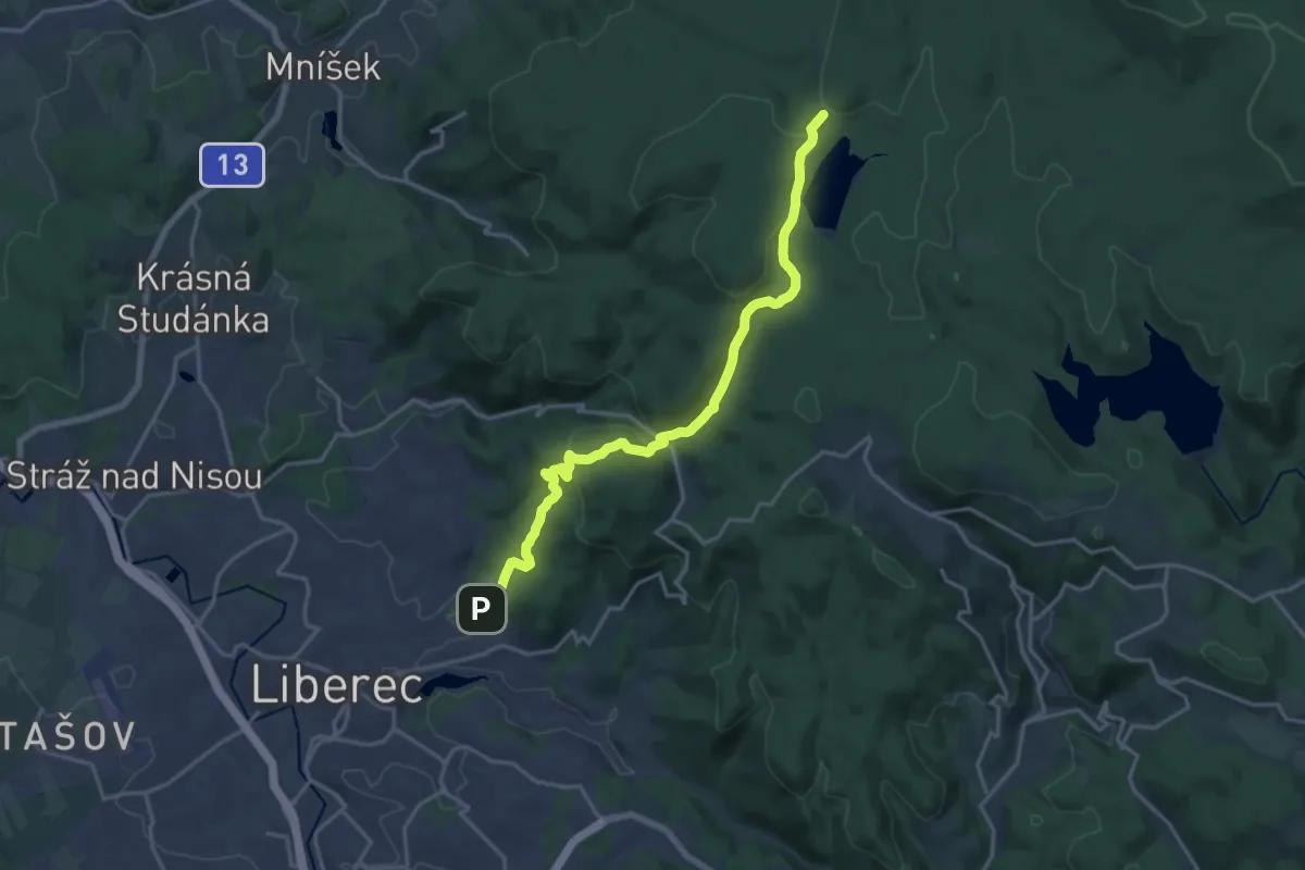
Medium · Trail
[Z] Stezka kancléře P. Šámala
17.0 km · ↑ 524 m · 5 h 10 min
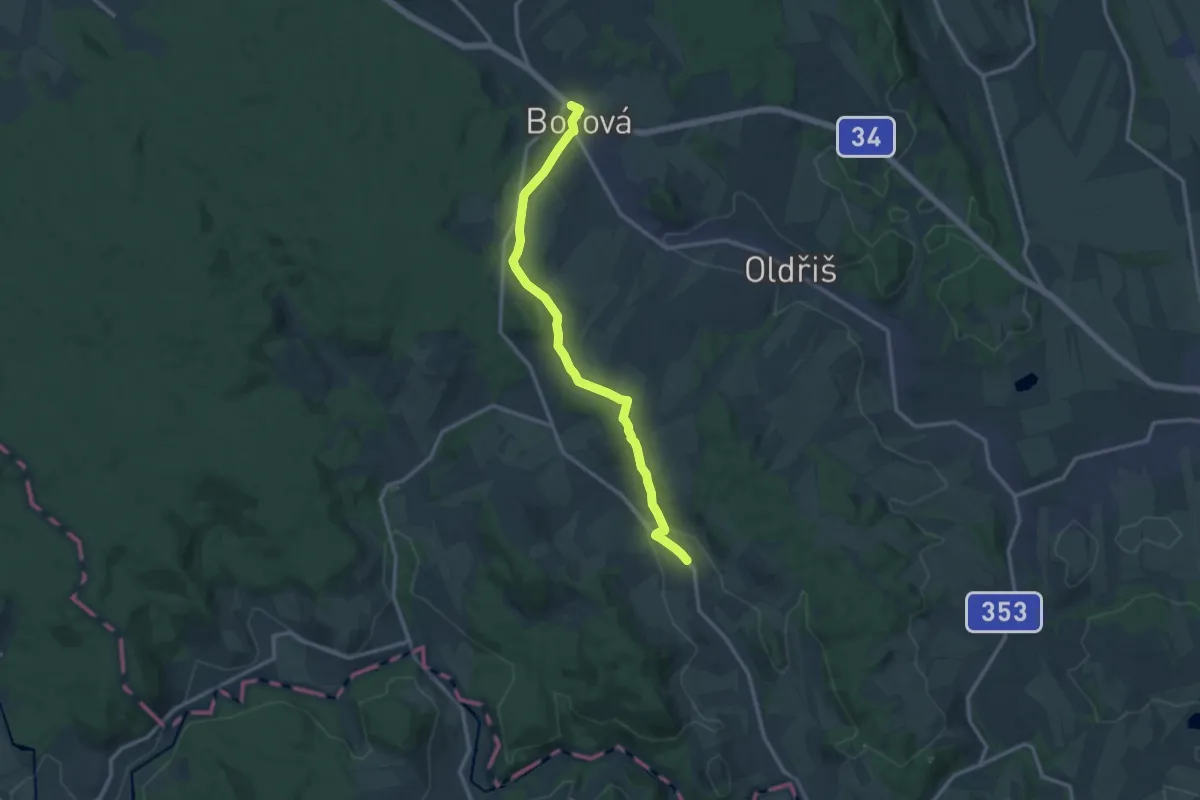
Medium · Trail
[Ž] Stezka Terezy Novákové
12.1 km · ↑ 281 m · 3 h 27 min