Trails in Czech Republic
4,056 hiking trails, each with its route, climb, walking time and grade.
All trails, page 82 of 85
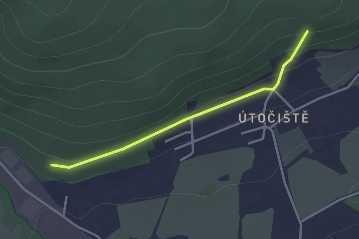
Easy · Trail
[Ž] Útočiště - Průsek
2.2 km · ↑ 65 m · 39 min
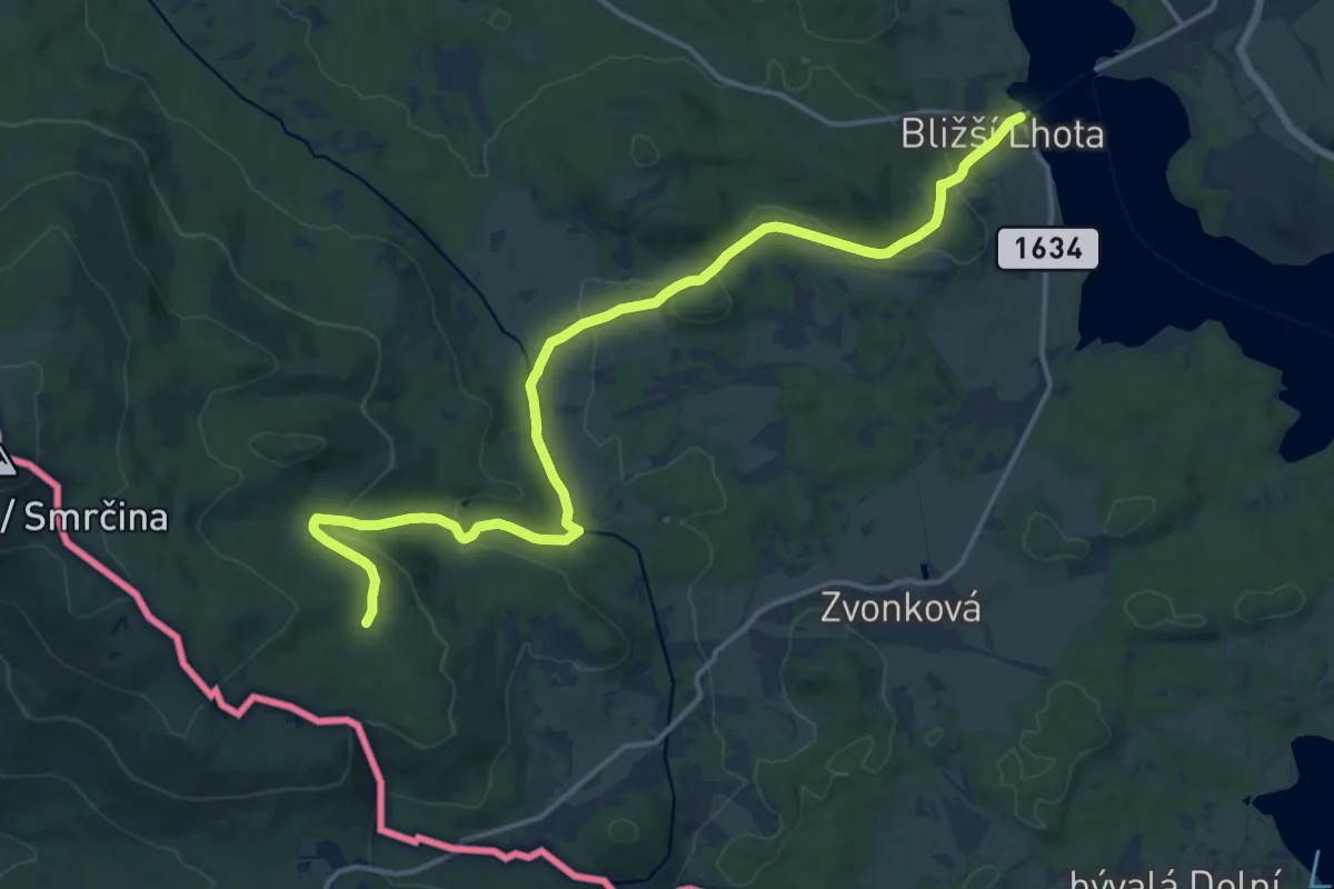
Medium · Trail
[Z] U Tokaniště - Bližší Lhota
16.2 km · ↑ 464 m · 4 h 50 min
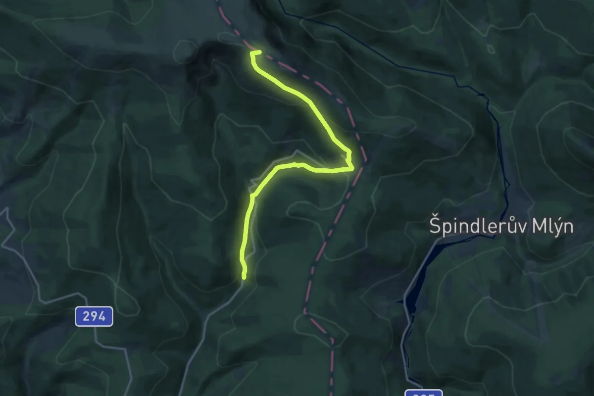
Medium · Summit
[Ž] U Třídomí - Česká Budka
12.7 km · ↑ 661 m · 4 h 26 min
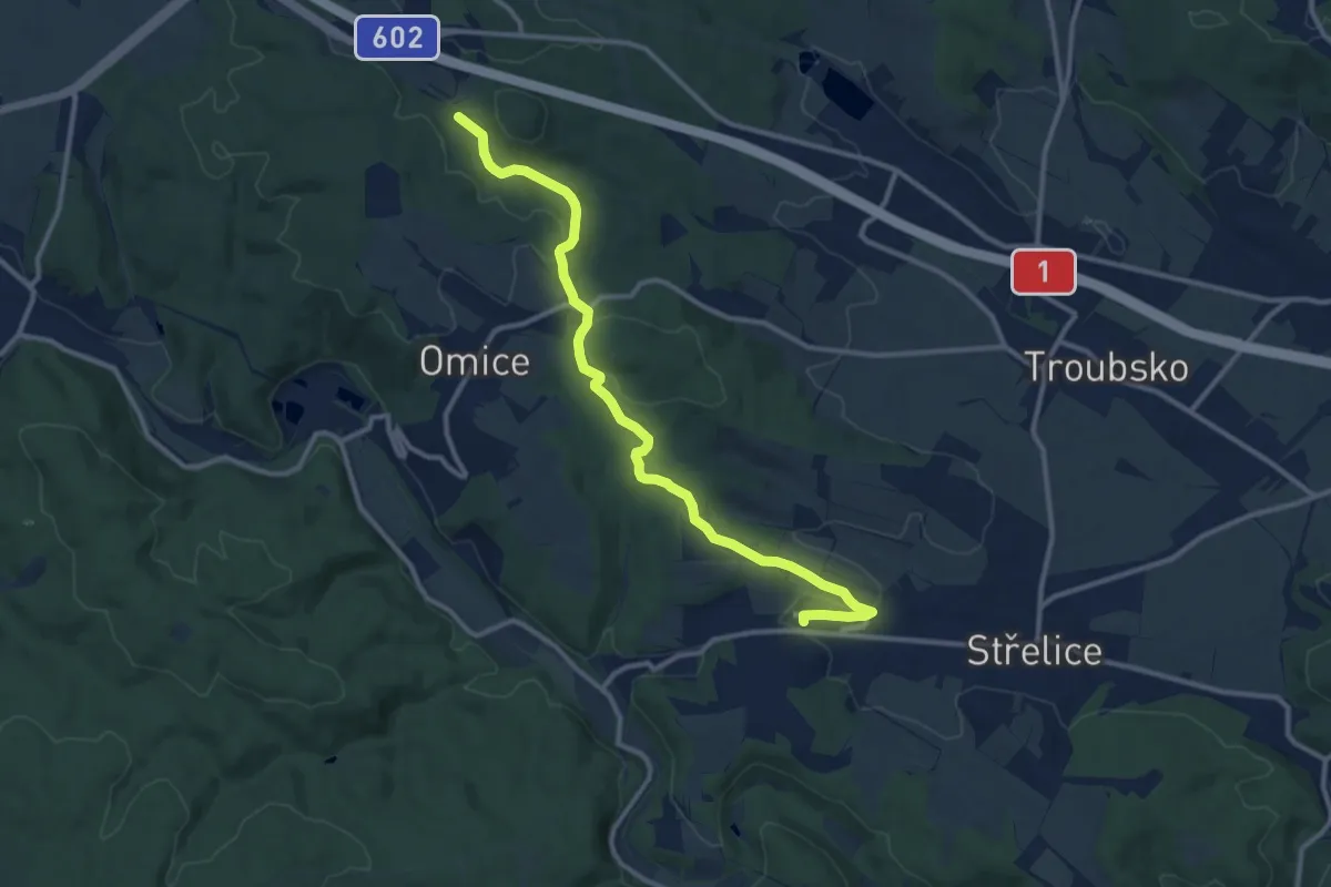
Medium · Trail
[Z] U vodárny - Střelice (ŽST)
11.6 km · ↑ 207 m · 3 h 12 min
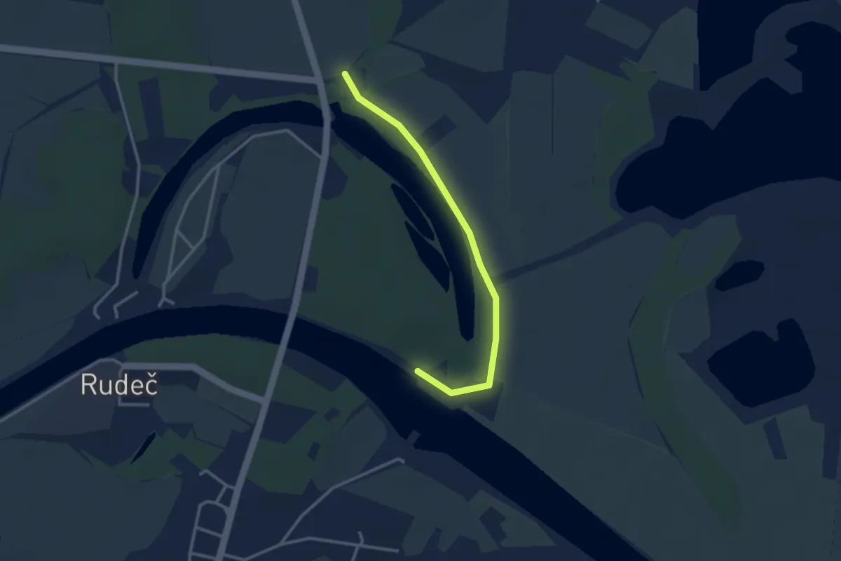
Easy · Trail
[Ž] U Zdymadla - Kopa
2.7 km · ↑ 0 m · 38 min
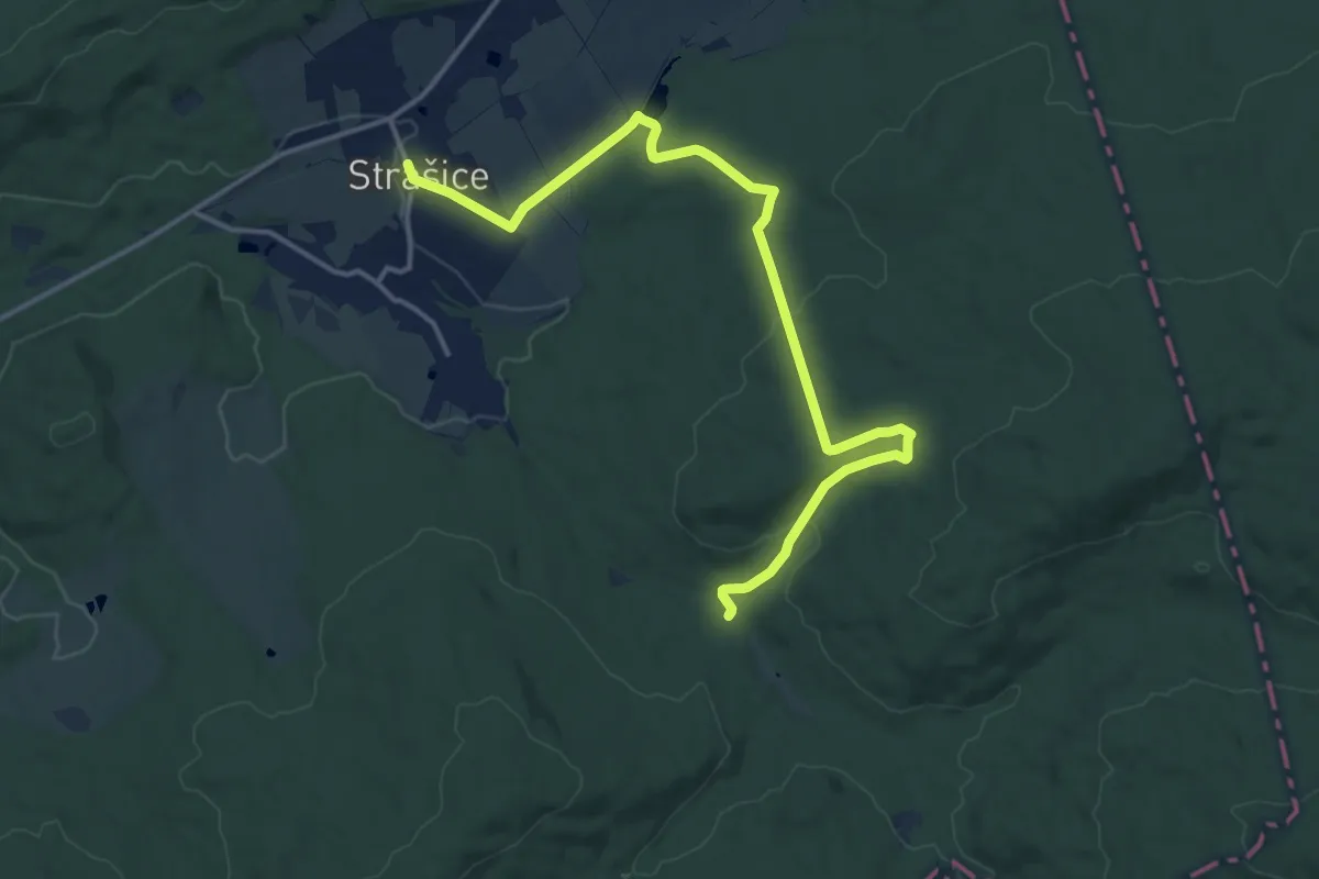
Medium · Trail
[Z] U Zlámané lávky - Strašice
15.6 km · ↑ 302 m · 4 h 20 min
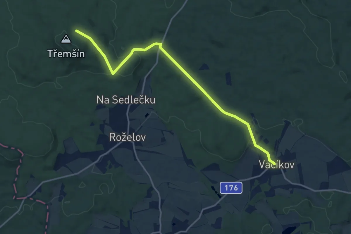
Medium · Cabin
[Z] Vacíkov - Třemšín
12.0 km · ↑ 301 m · 3 h 29 min
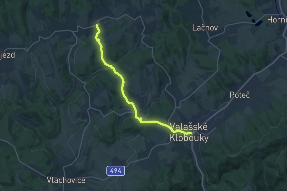
Medium · Trail
[Ž] Valašské Klobouky - Drnovice
14.4 km · ↑ 449 m · 4 h 22 min
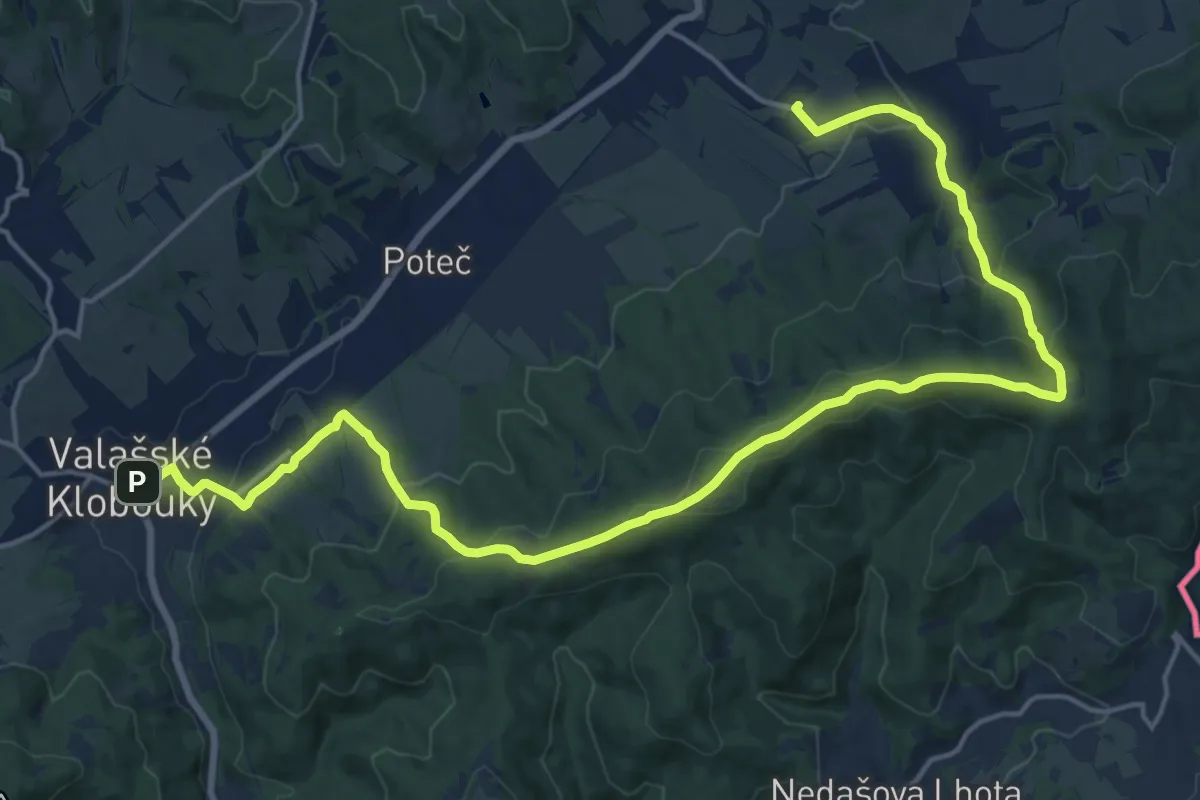
Demanding · Summit
[Z] Valašské Klobouky - Valašské příkazy
22.1 km · ↑ 812 m · 6 h 59 min
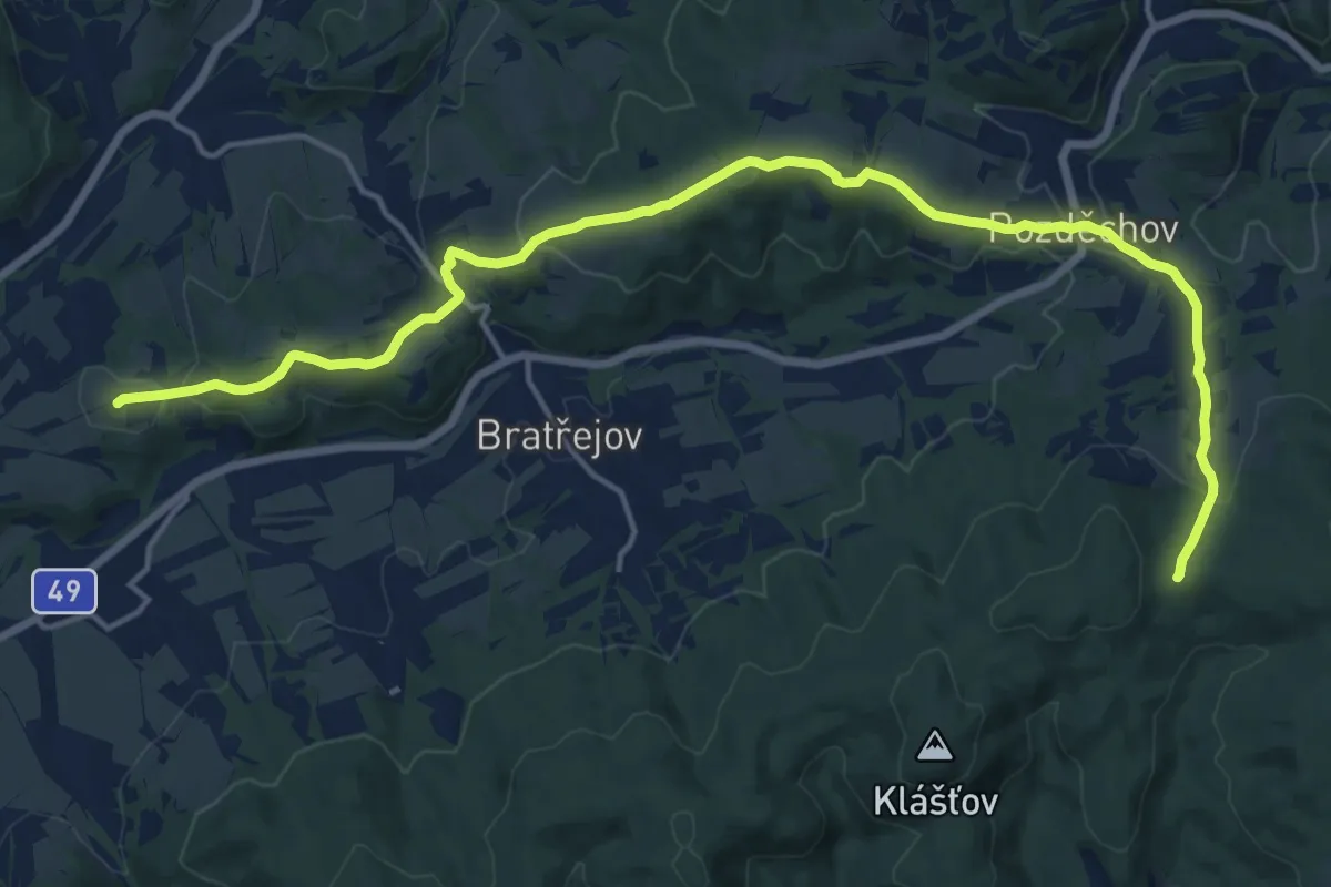
Demanding · Summit
[Ž] Valašské Klobouky - Vizovice - pod Svéradovem
18.3 km · ↑ 657 m · 5 h 44 min
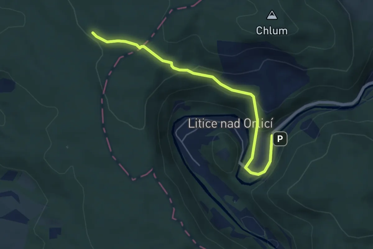
Easy · Trail
[Z] Vamberk (nám) - Litice nad Orlicí
4.8 km · ↑ 206 m · 1 h 35 min
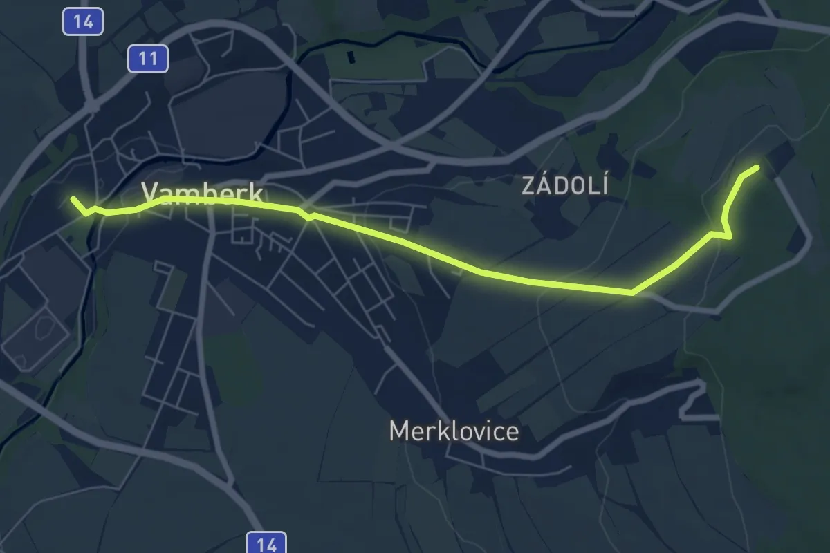
Easy · Trail
[Ž] Vamberk (ŽST) - Na Vyhlídce
6.4 km · ↑ 161 m · 1 h 51 min
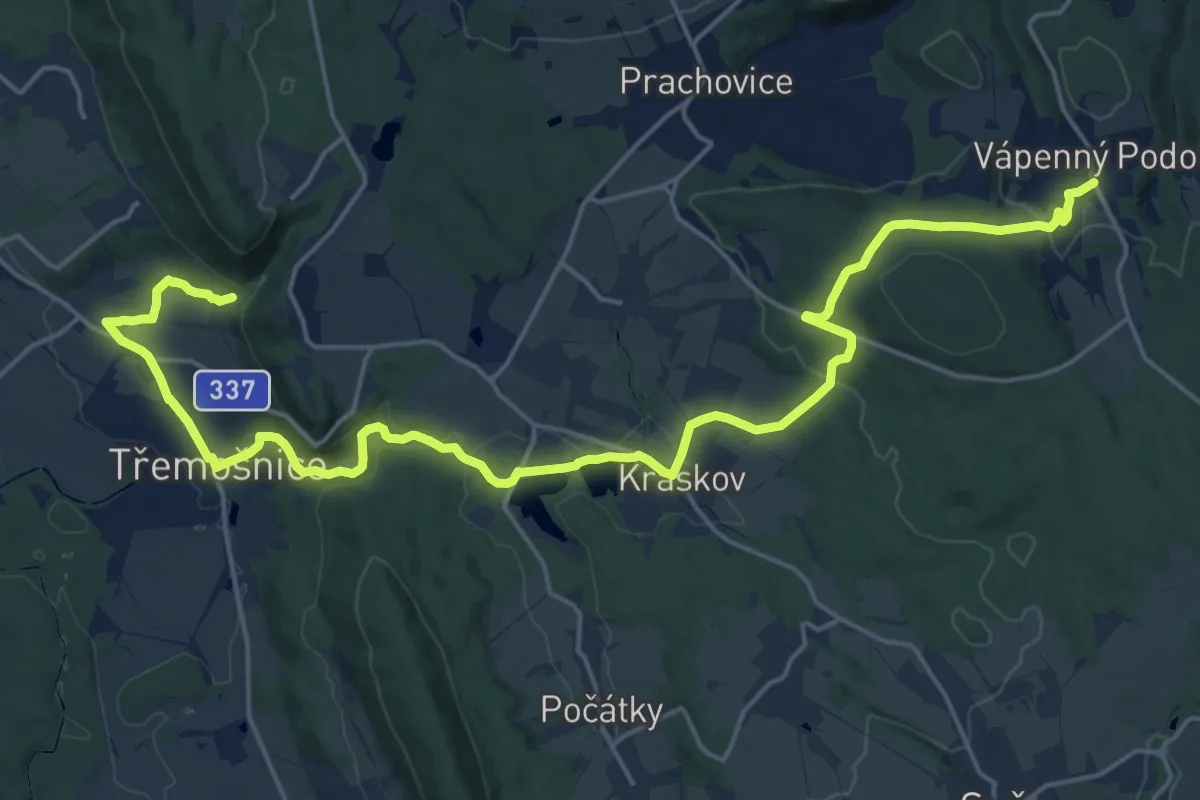
Demanding · Trail
[Z] Vápenný Podol - Lovětínská rokle
23.1 km · ↑ 569 m · 6 h 41 min
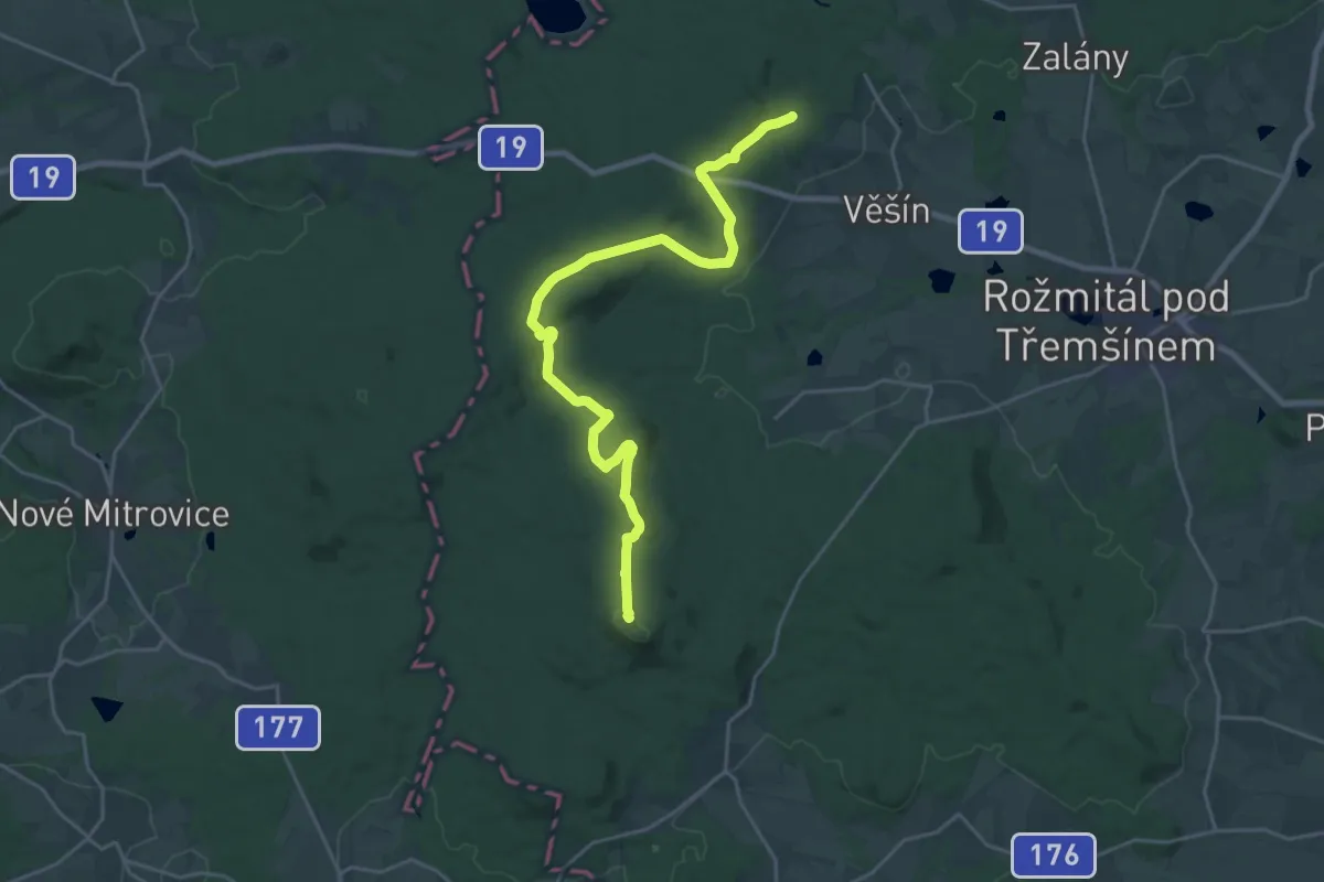
Demanding · Summit
[Ž] Varta - Třemšín
23.4 km · ↑ 553 m · 6 h 44 min
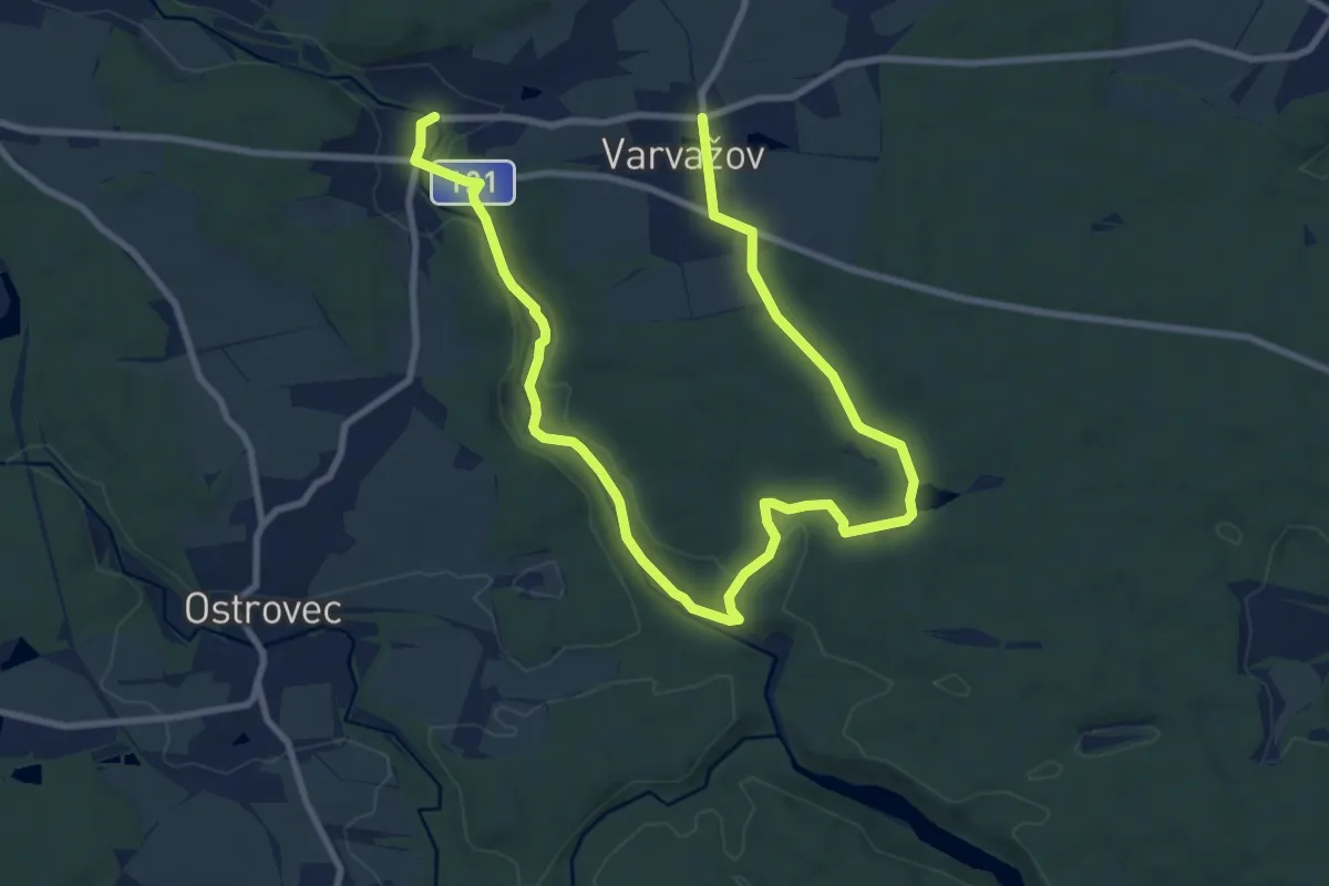
Medium · Trail
[Ž] Varvažov - U mostu
13.2 km · ↑ 204 m · 3 h 33 min
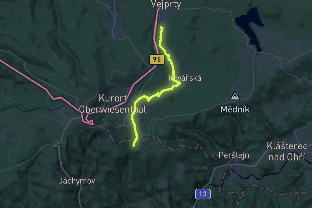
Demanding · Summit
[Z] Vejprty - Stráž nad Ohří
28.9 km · ↑ 629 m · 8 h 11 min
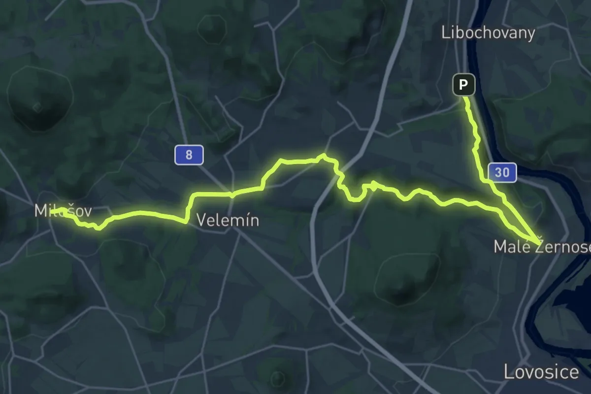
Demanding · Trail
[Z] Velemín - Litochovice
27.9 km · ↑ 570 m · 7 h 49 min
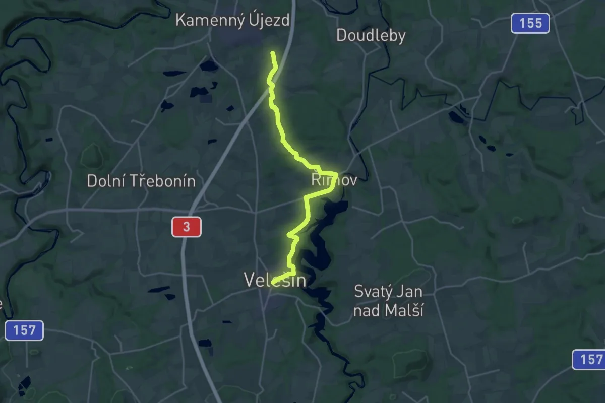
Demanding · Trail
[Ž] Velešín - Plavnice
19.3 km · ↑ 316 m · 5 h 15 min
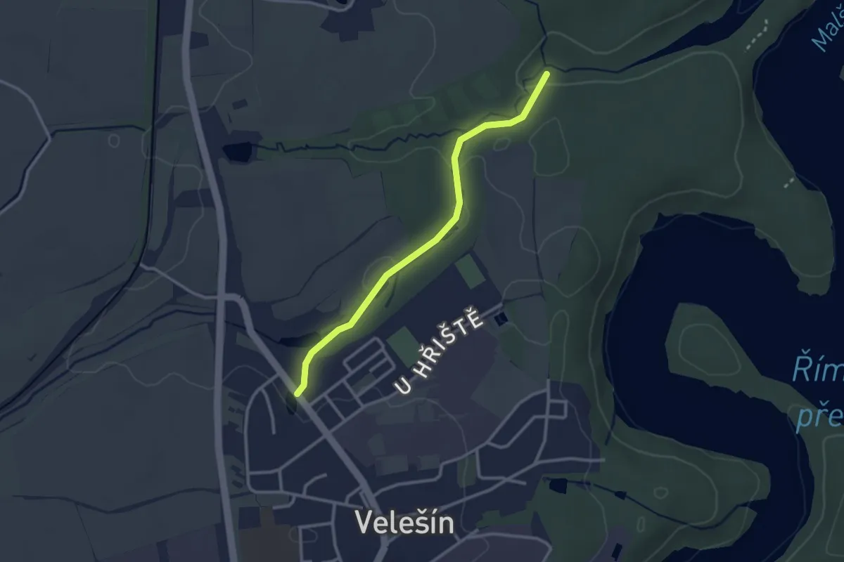
Easy · Trail
[Z] Velešín sídliště - Velešín Strahov
2.6 km · ↑ 41 m · 42 min
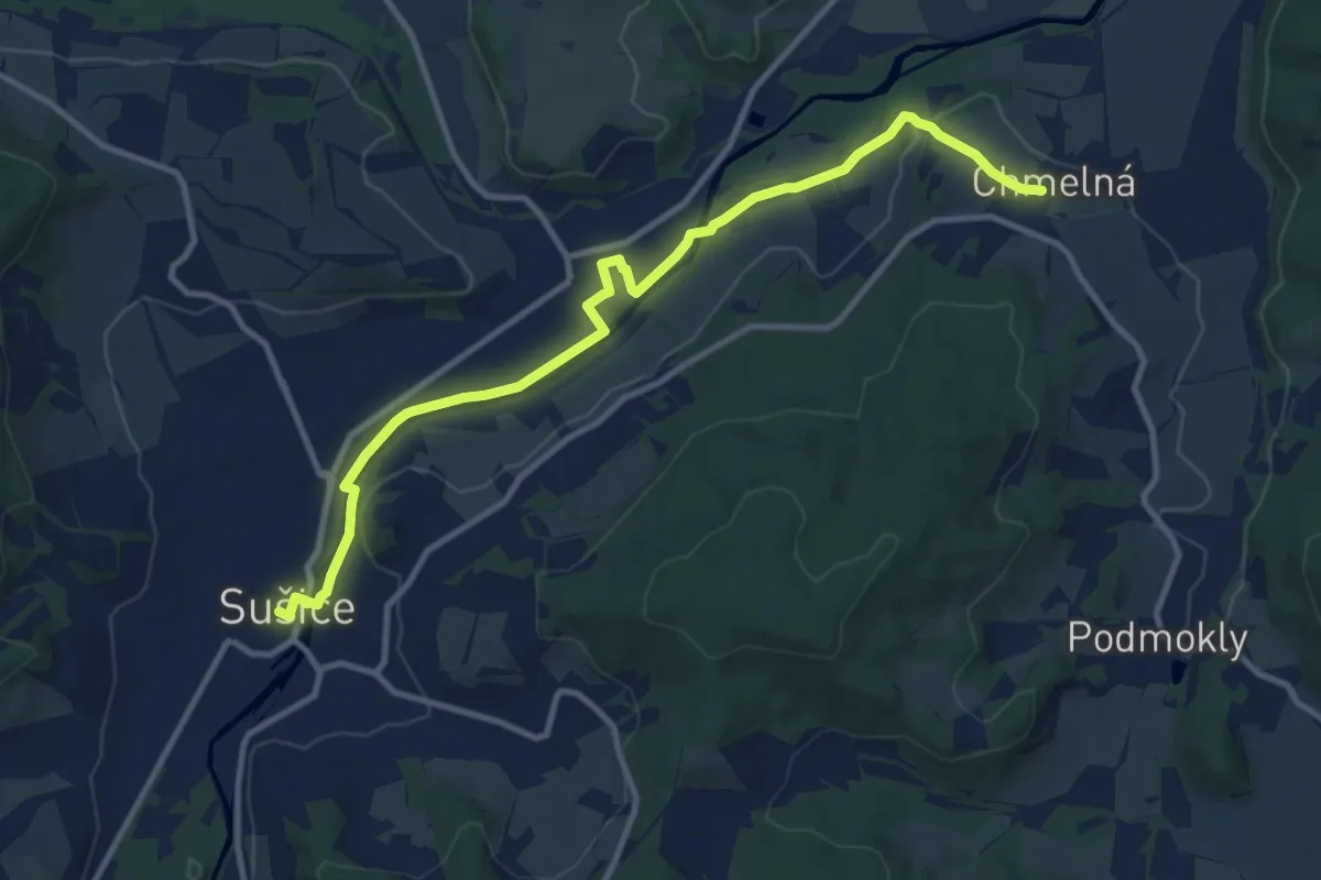
Medium · Trail
[Ž] Velká Chmelná - Sušice
11.1 km · ↑ 99 m · 2 h 50 min
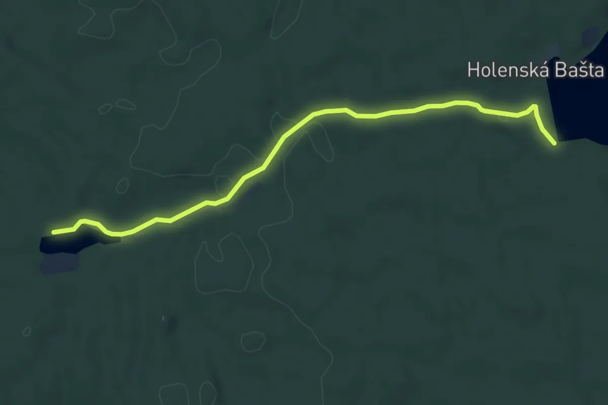
Easy · Trail
[Z] Velká Holná - Dolní Vydýmač
6.1 km · ↑ 68 m · 1 h 36 min
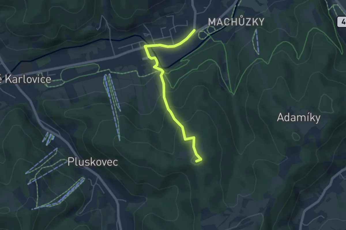
Easy · Summit
[Ž] Velké Karlovice (rozc. Miloňov) - Pod Kyčerou
4.2 km · ↑ 237 m · 1 h 30 min
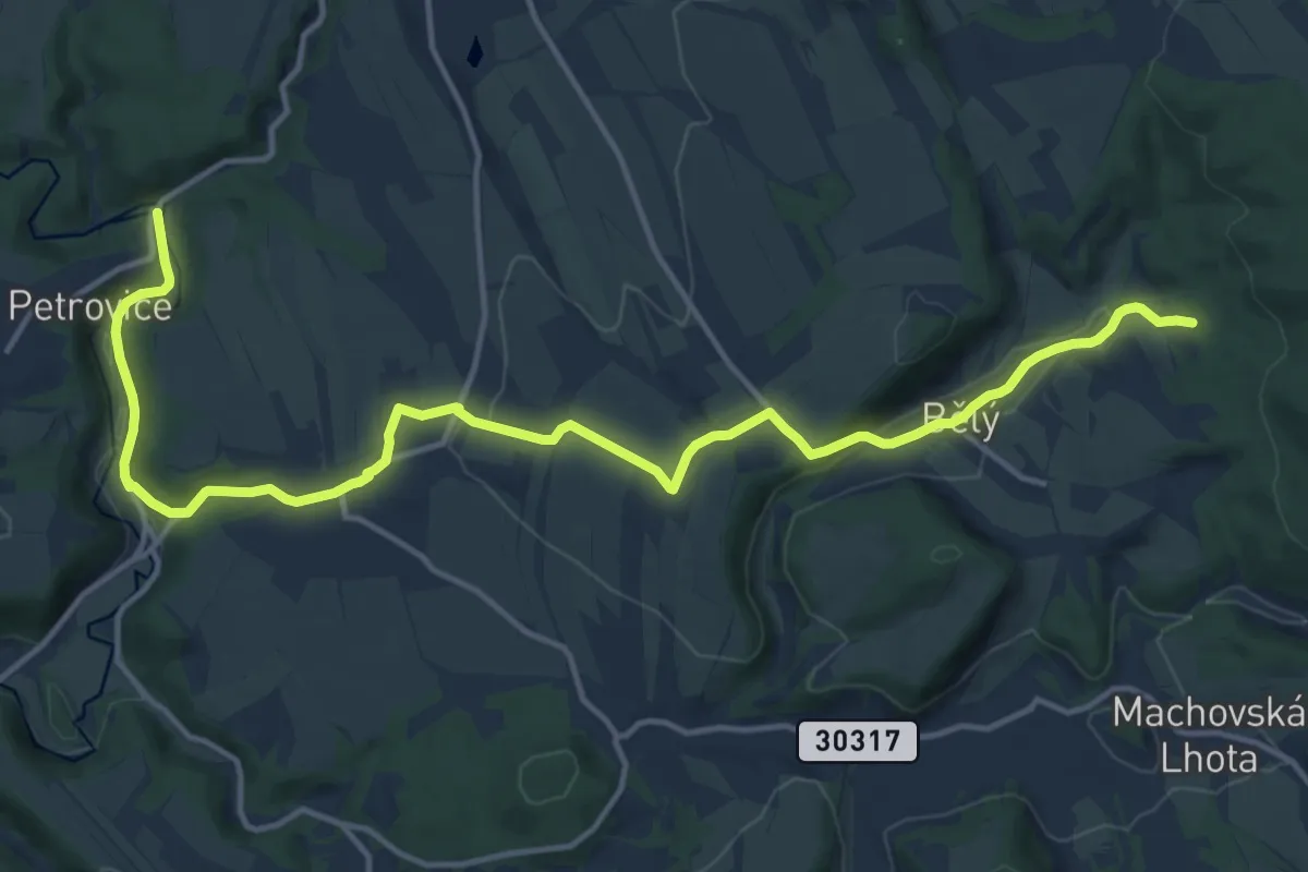
Medium · Trail
[Ž] Velké Petrovice - Nad Bělým
16.1 km · ↑ 272 m · 4 h 24 min
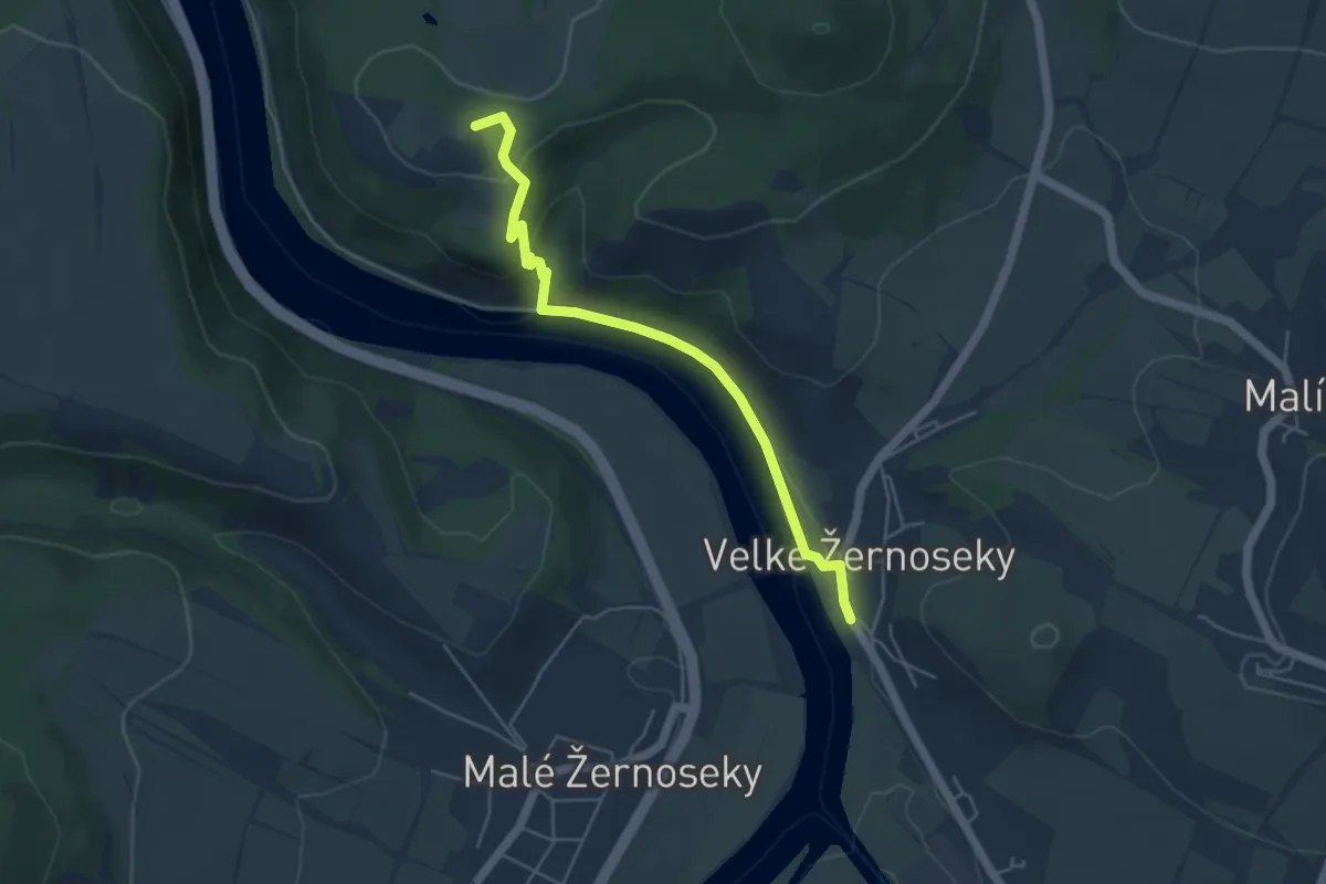
Easy · Summit
[Z] Velké Žernoseky - Kamýk
4.5 km · ↑ 131 m · 1 h 21 min
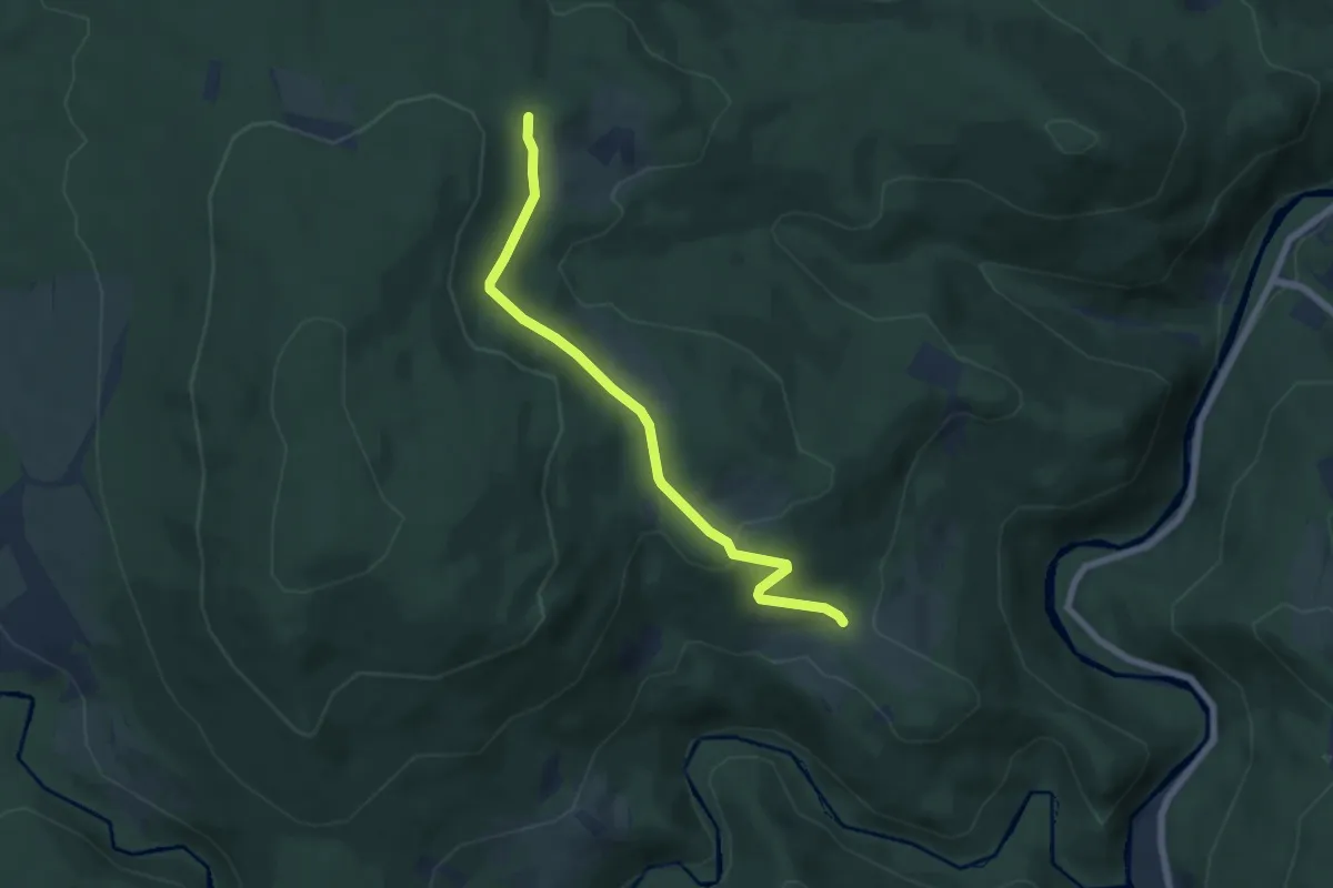
Easy · Trail
[Ž] Velký Babylon - Prostřední Paště
6.0 km · ↑ 183 m · 1 h 48 min
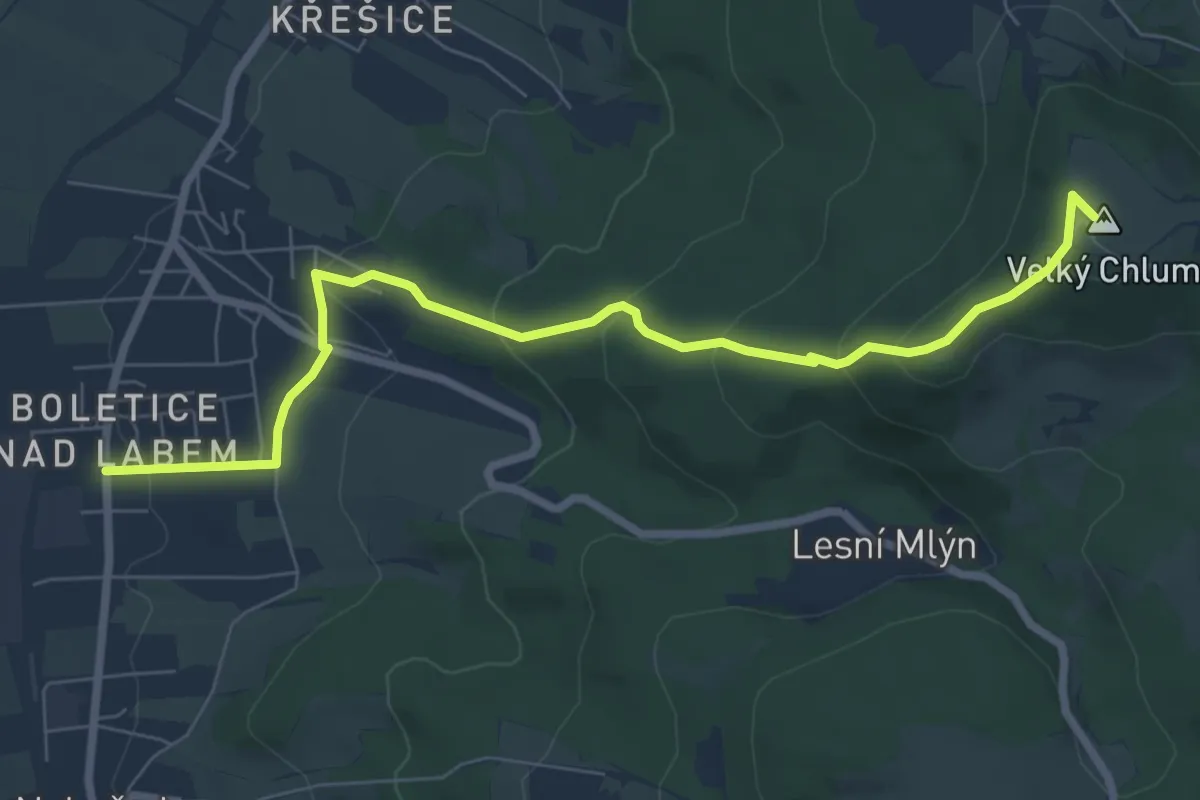
Medium · Summit
[Ž] Velký Chlum - Boletice
7.2 km · ↑ 361 m · 2 h 29 min
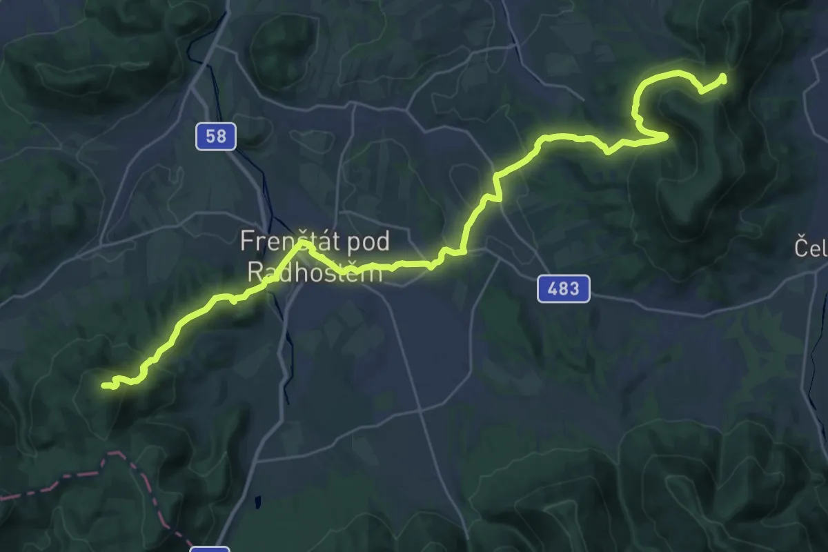
Demanding · Summit
[Z] Velký Javorník - Kozlovice
33.6 km · ↑ 1170 m · 10 h 27 min
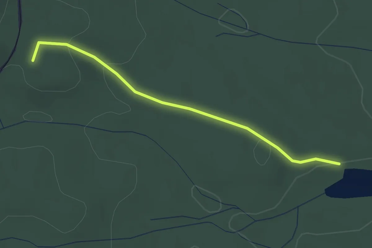
Easy · Trail
[Ž] Velký Luh - Neuhaus
2.5 km · ↑ 43 m · 41 min
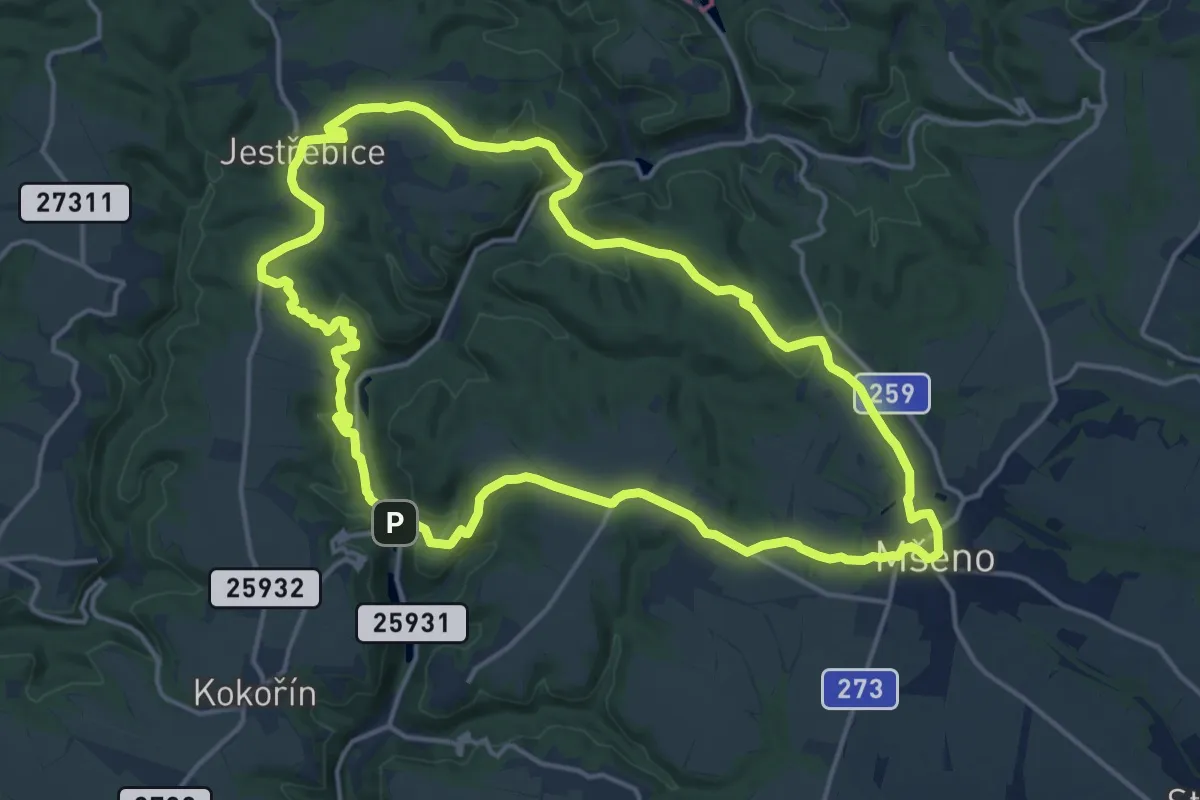
Medium · Trail
[Z] Velký Mšenský okruh
15.4 km · ↑ 361 m · 4 h 37 min
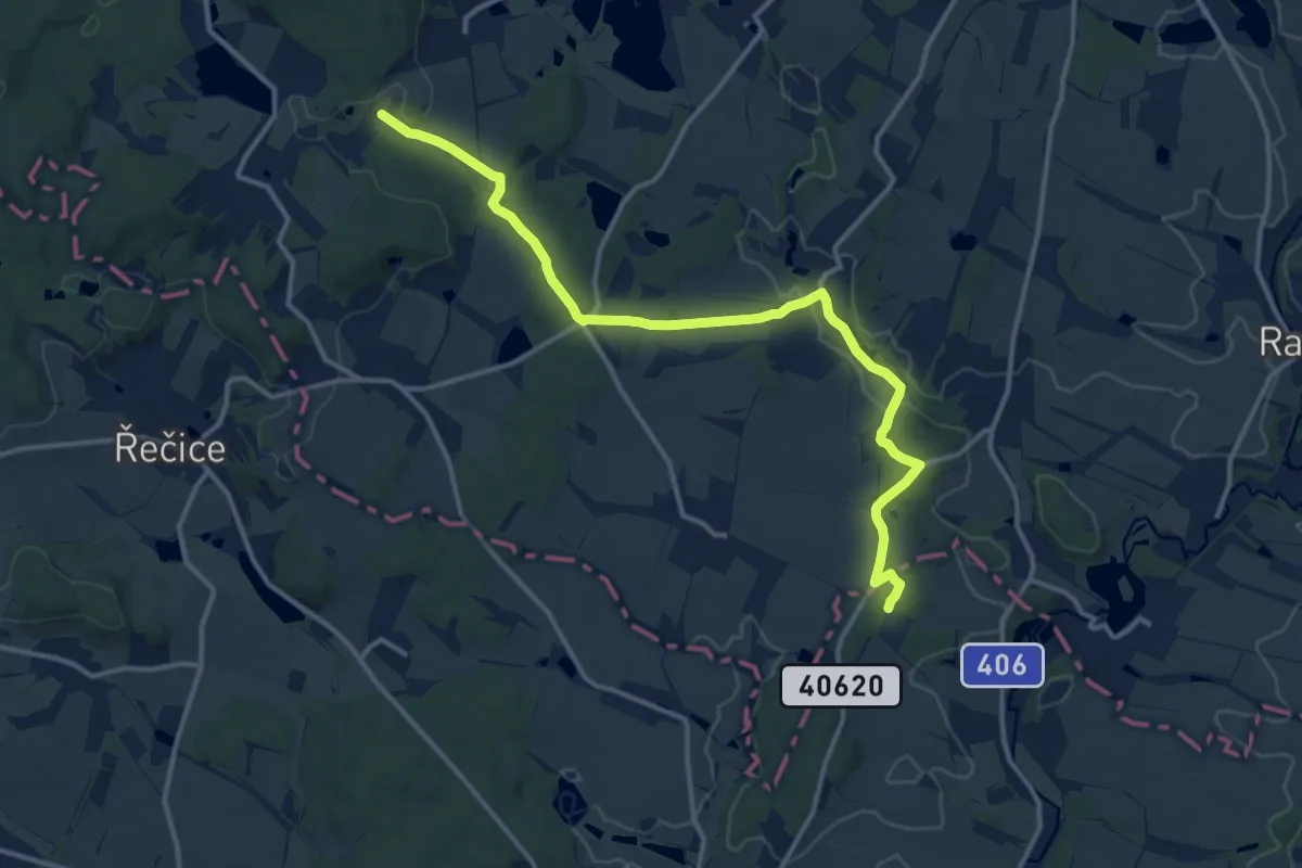
Medium · Trail
[Ž] Velký Pěčín - Nad Strouhou
13.6 km · ↑ 245 m · 3 h 45 min
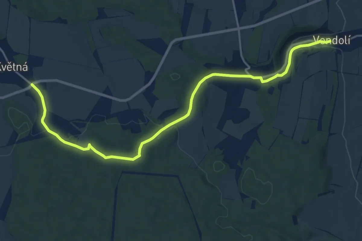
Medium · Trail
[Ž] Vendolí - Květná
12.5 km · ↑ 204 m · 3 h 24 min
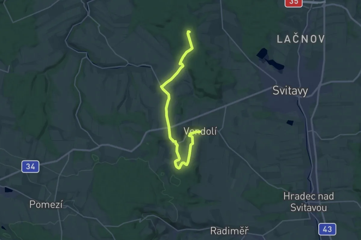
Demanding · Summit
[Z] Vendolí - Nad Rosničkou
20.1 km · ↑ 305 m · 5 h 24 min
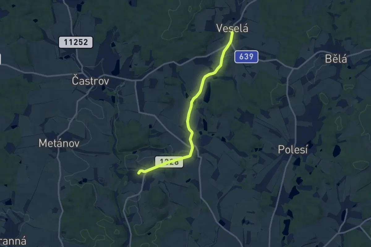
Medium · Trail
[Ž] Veselá - Jakubín
9.3 km · ↑ 90 m · 2 h 24 min
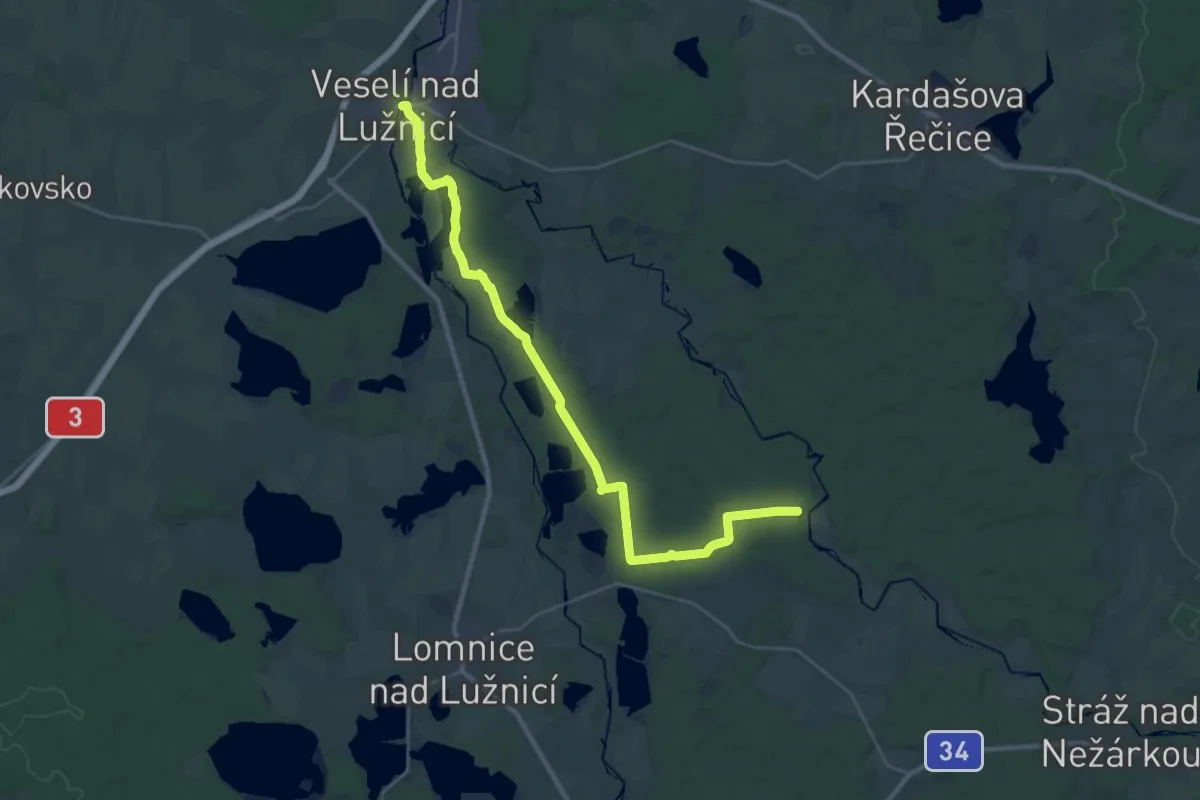
Medium · Trail
[Ž] Veselí nad Lužnicí - U Blažků
16.1 km · ↑ 126 m · 4 h 16 min
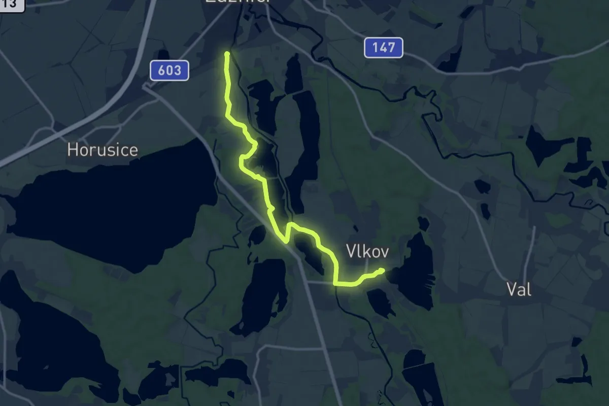
Medium · Trail
[Z] Veselí nad Lužnicí - Vlkov
11.6 km · ↑ 68 m · 2 h 54 min
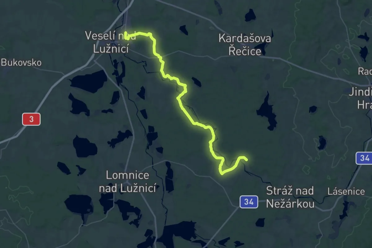
Demanding · Trail
[Z] Veselí n. Luž. - Jemčina
22.4 km · ↑ 157 m · 5 h 57 min
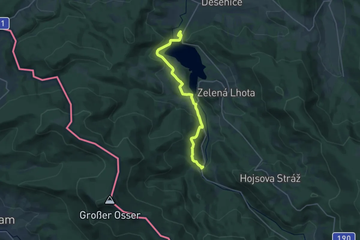
Medium · Trail
[Ž] Větrovec - Hamry
16.2 km · ↑ 566 m · 5 h 4 min
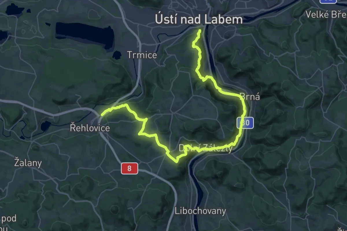
Demanding · Trail
[Z] Větruše - Stadice
20.6 km · ↑ 721 m · 6 h 44 min
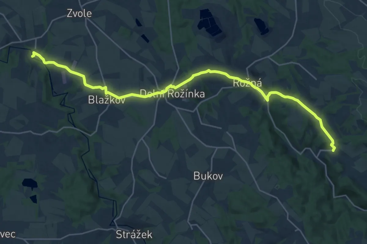
Demanding · Trail
[Ž] Věžná - Olešínky
21.3 km · ↑ 387 m · 5 h 51 min
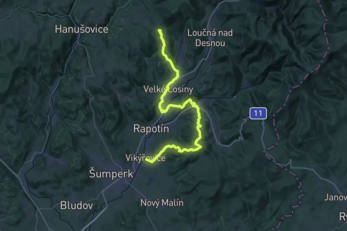
Demanding · Summit
[Z] Vikýřovice (žst.) - Tři Kameny (Útulna)
47.5 km · ↑ 1486 m · 14 h 26 min
Demanding · Summit
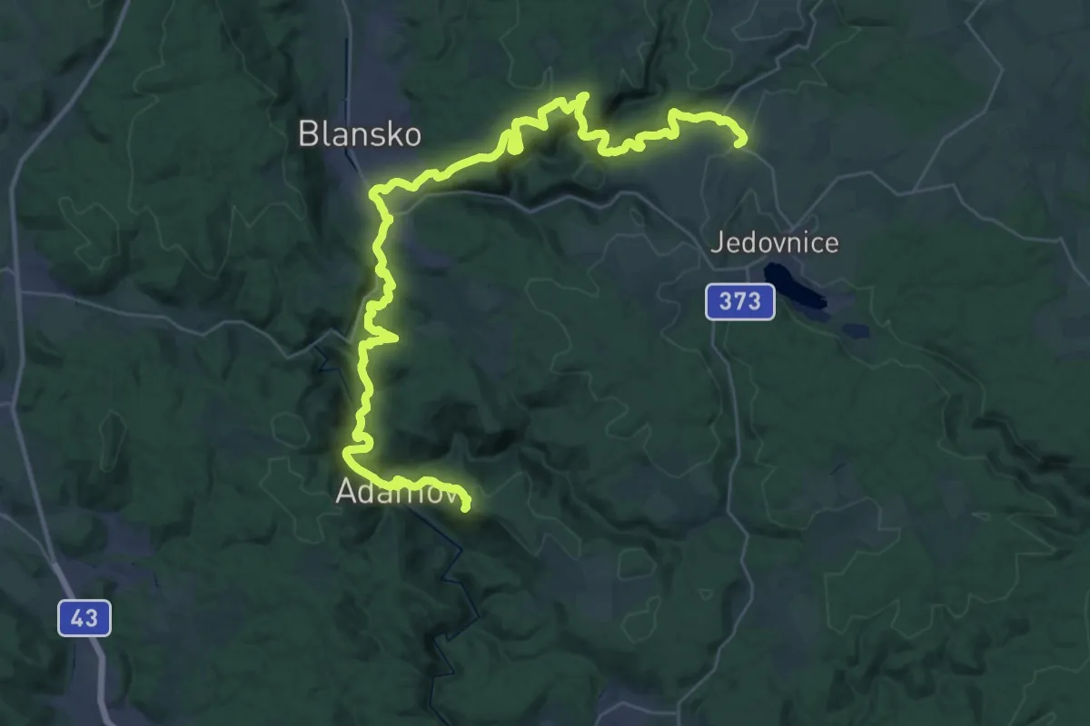
[Z] Vilémovice - Ochoz u Brna
46.9 km · ↑ 1648 m · 14 h 39 min
Medium · Trail
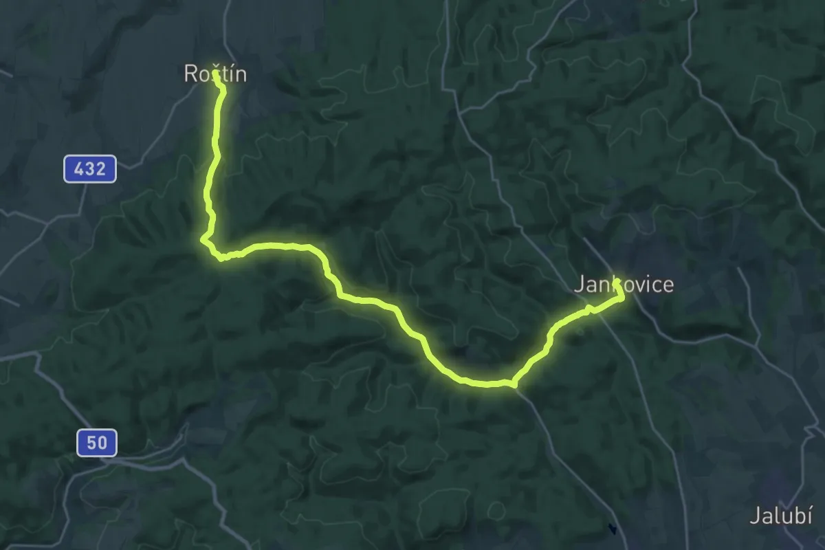
[Ž] Vinohradčík hájenka - Jankovice
13.6 km · ↑ 433 m · 4 h 21 min
Medium · Trail
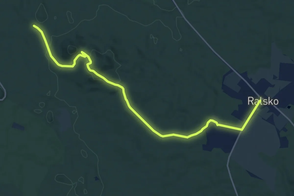
[Ž] Víšek - Kuřívody
14.2 km · ↑ 287 m · 3 h 58 min
Easy · Trail
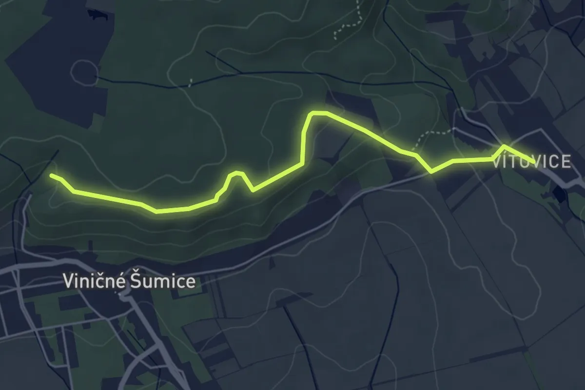
[Ž] Vítovice (bus) - Nad Vinohrady
5.0 km · ↑ 117 m · 1 h 26 min
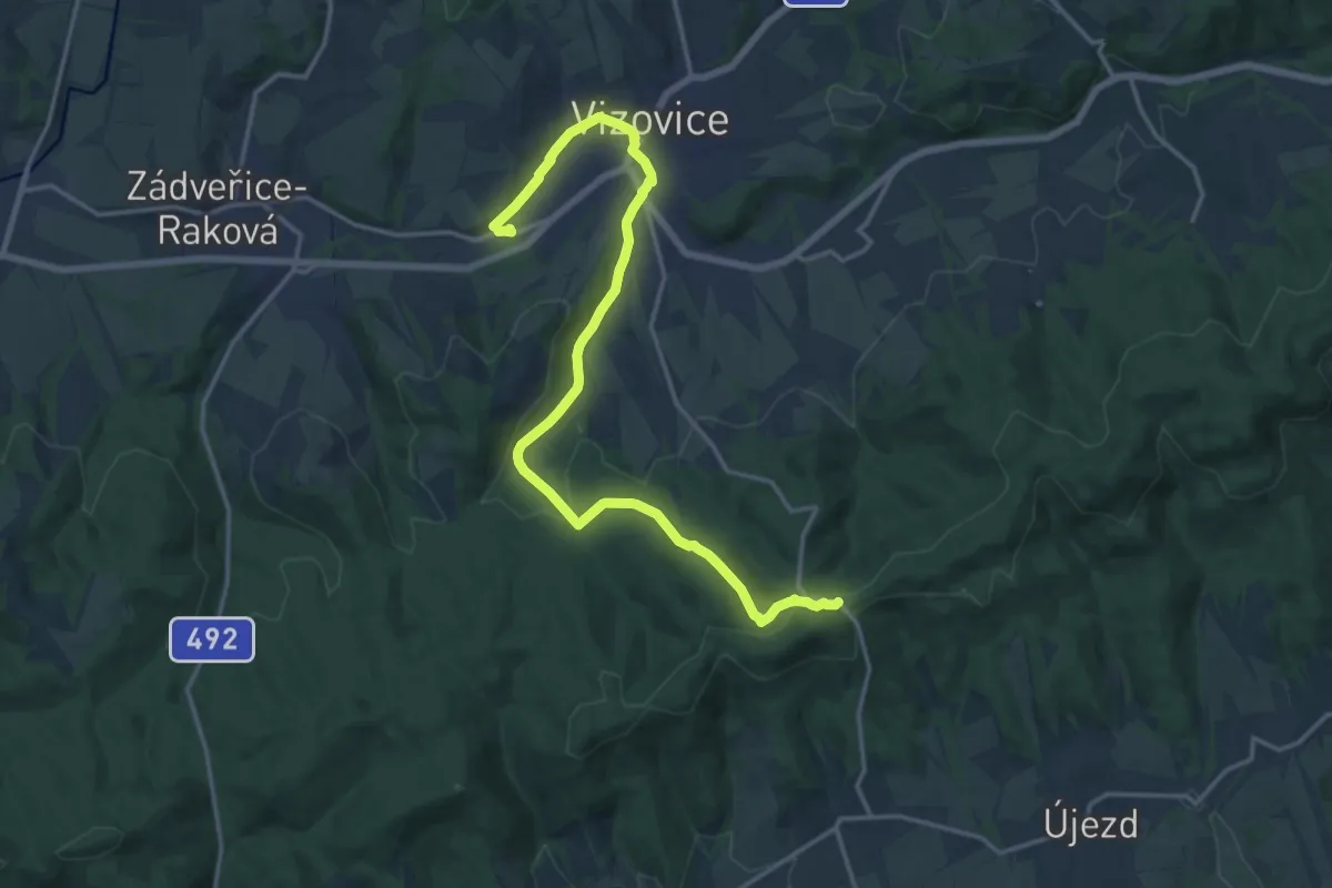
Medium · Trail
[Z] Vizovice - Pod Doubravou
17.5 km · ↑ 435 m · 5 h 5 min
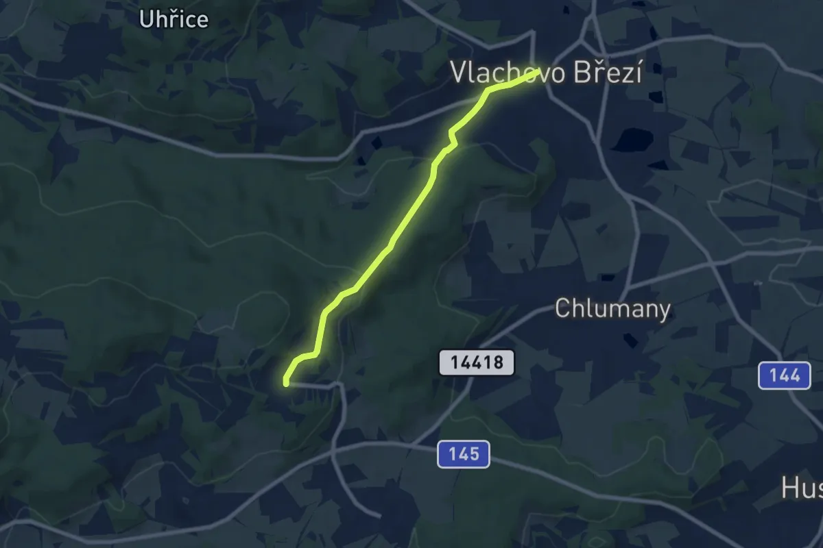
Easy · Trail
[Z] Vlachovo Březí - Dolni Kožlí
6.1 km · ↑ 211 m · 1 h 54 min
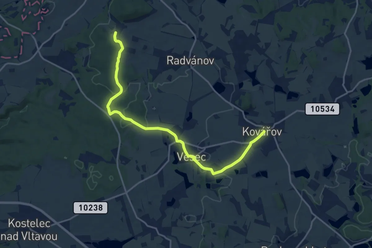
Medium · Trail
[Ž] Vladyčín - Pelechy
12.2 km · ↑ 146 m · 3 h 11 min
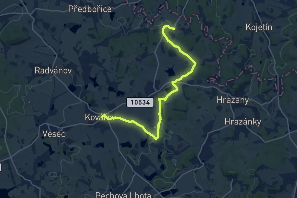
Medium · Trail
[Ž] Vladyčín - Pelechy
14.4 km · ↑ 182 m · 3 h 48 min