Trails in Czech Republic
4,067 hiking trails, each with its route, climb, walking time and grade.
All trails, page 84 of 85
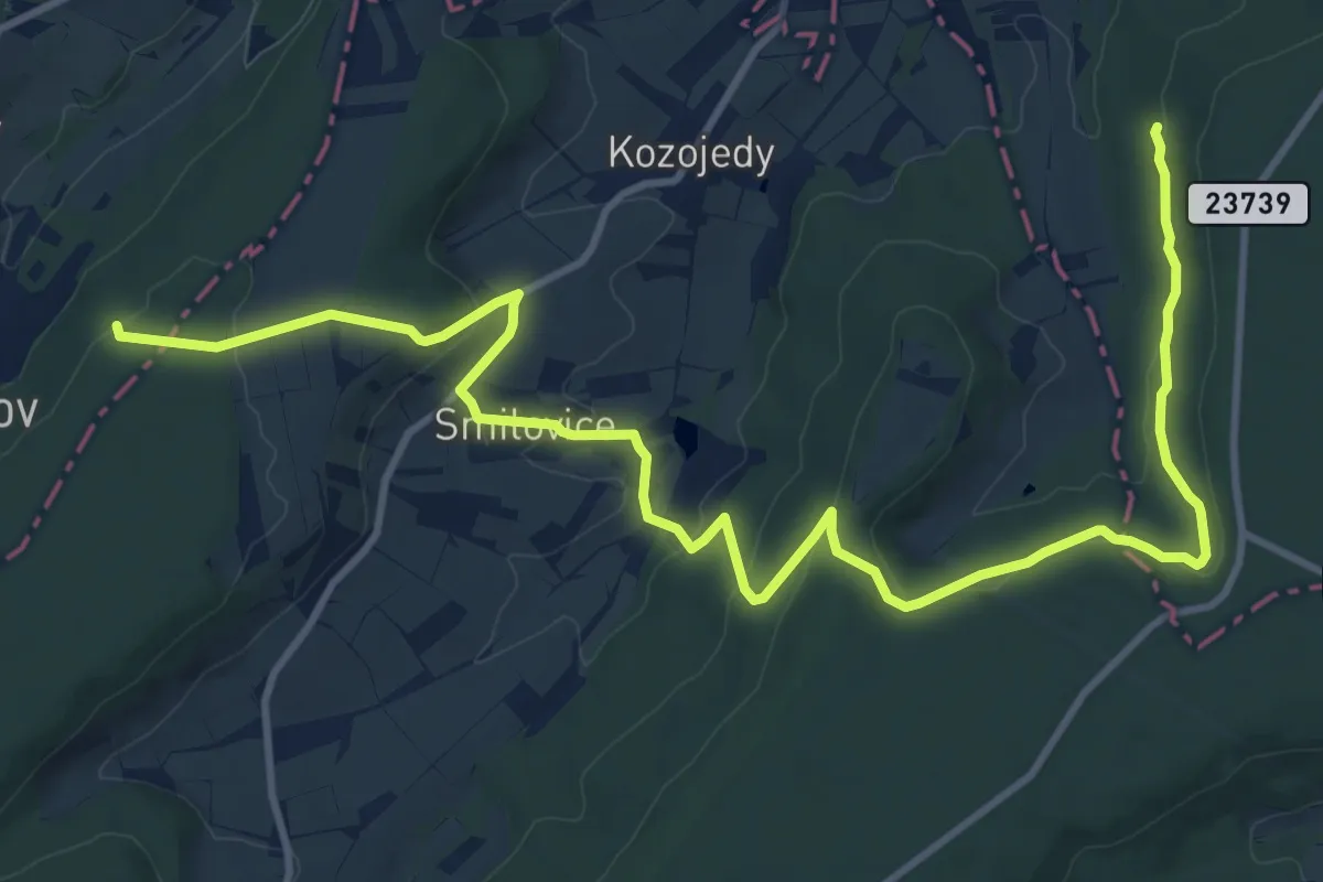
Medium · Trail
[Z] Výrov (rozc.) - Žerotín
14.0 km · ↑ 383 m · 4 h 8 min
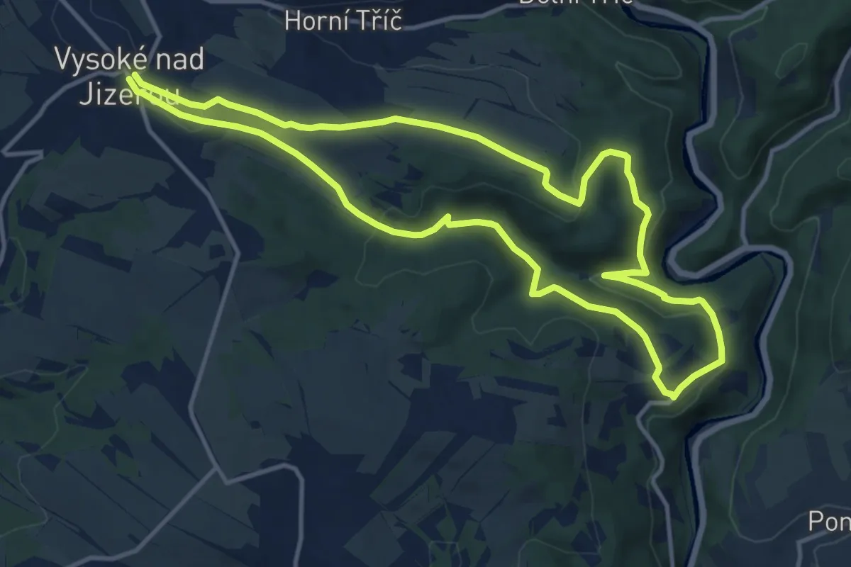
Medium · Summit
[Ž] Vysocký okruh
10.4 km · ↑ 294 m · 3 h 14 min
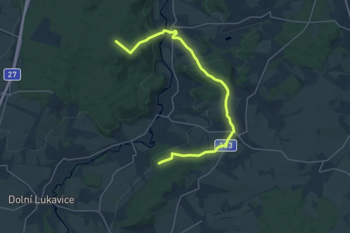
Medium · Trail
[Ž] Vysoká - Hájsko
17.3 km · ↑ 450 m · 5 h 3 min
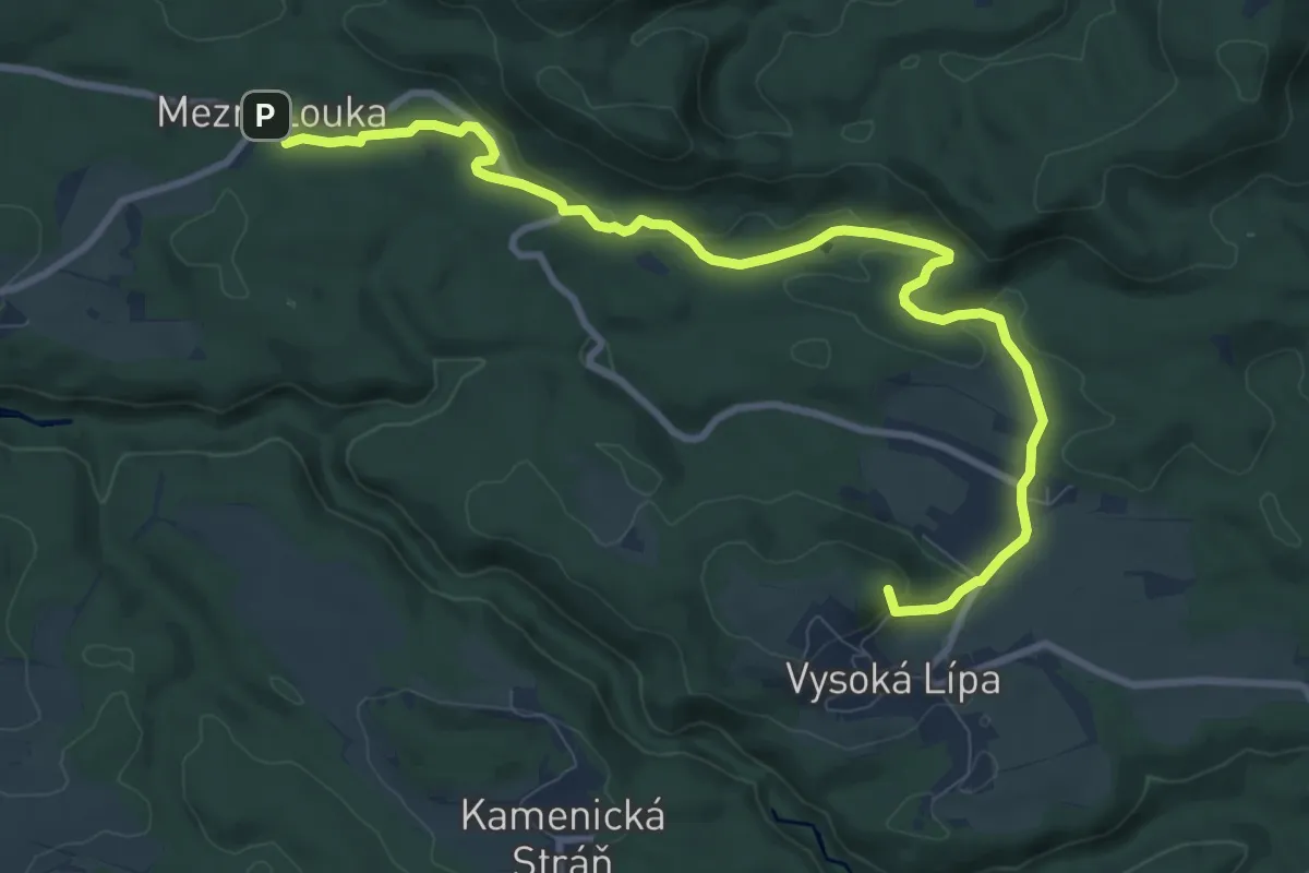
Medium · Summit
[Ž] Vysoká Lípa - Mezní Louka
10.0 km · ↑ 254 m · 2 h 55 min
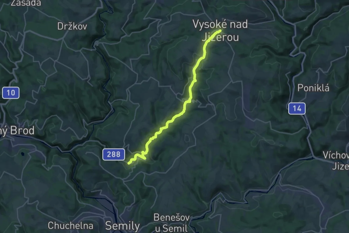
Demanding · Trail
[Z] Vysoké nad Jizerou - Bodbozkov
18.9 km · ↑ 423 m · 5 h 22 min
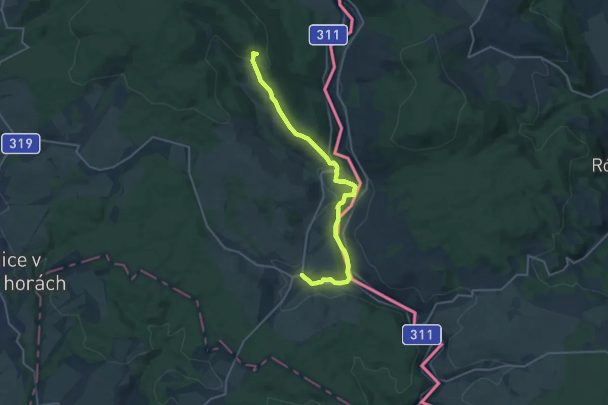
Medium · Trail
[Ž] Vysoký Kořen - Bartošovice v OH
13.3 km · ↑ 313 m · 3 h 49 min
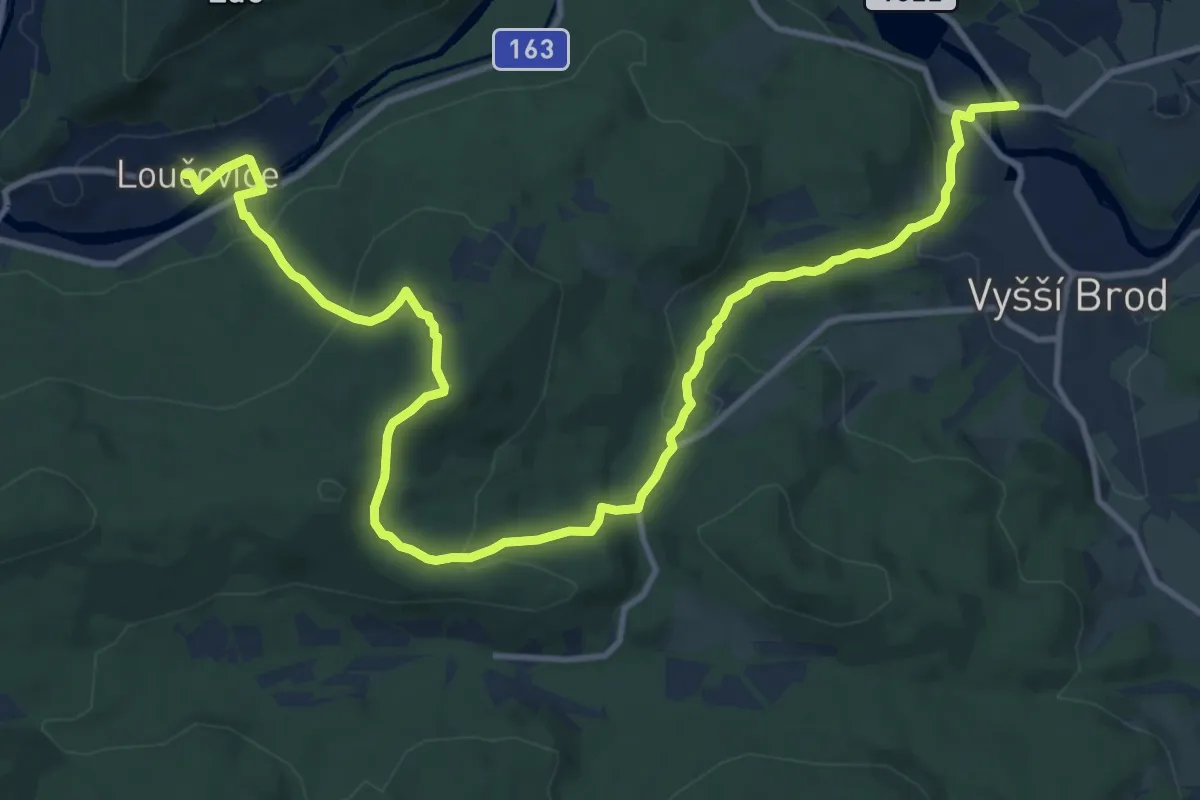
Medium · Trail
[Ž] Vyšší Brod - Loučovice
14.9 km · ↑ 563 m · 4 h 44 min
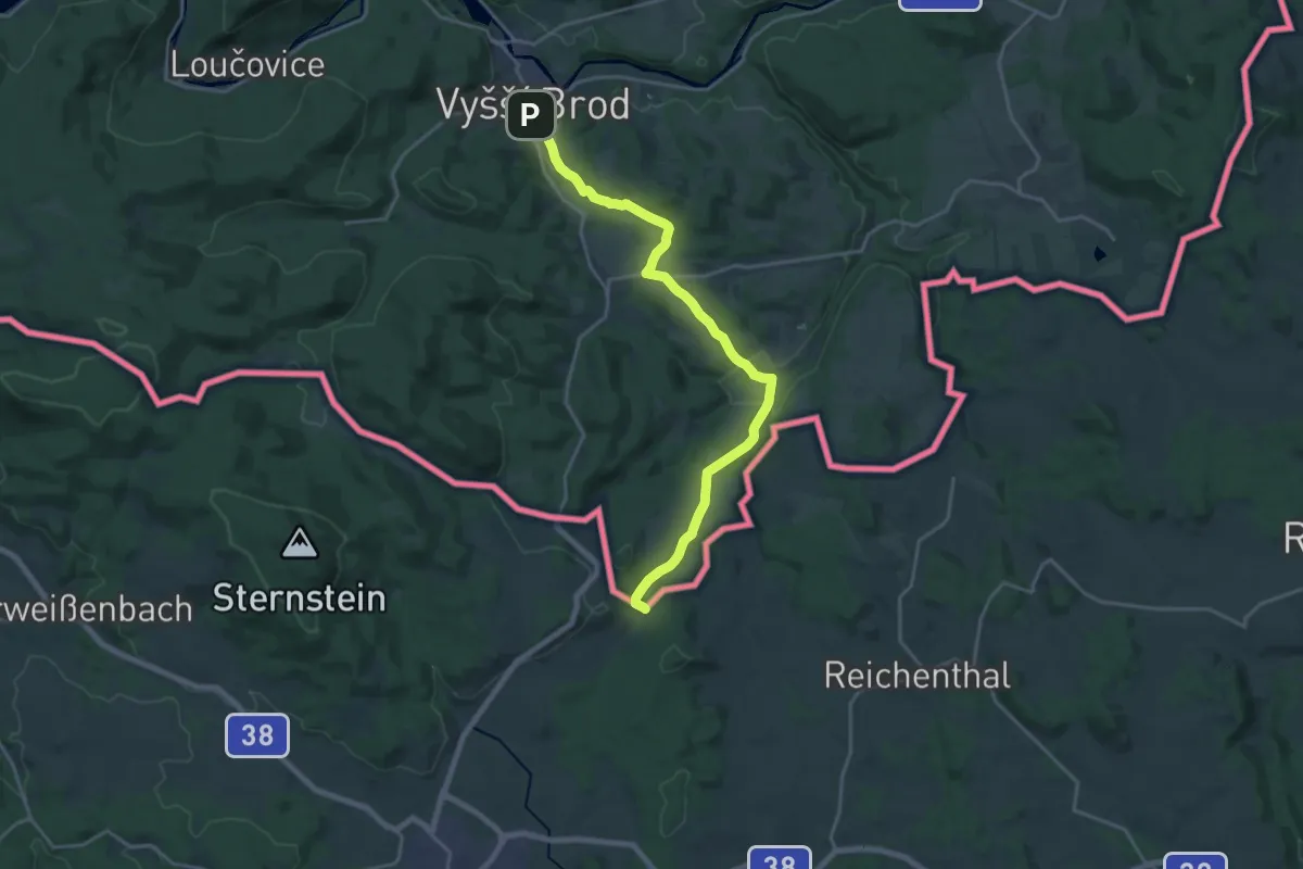
Demanding · Trail
[Ž] Vyšší Brod - Radvanov (CZ/A)
19.9 km · ↑ 391 m · 5 h 33 min
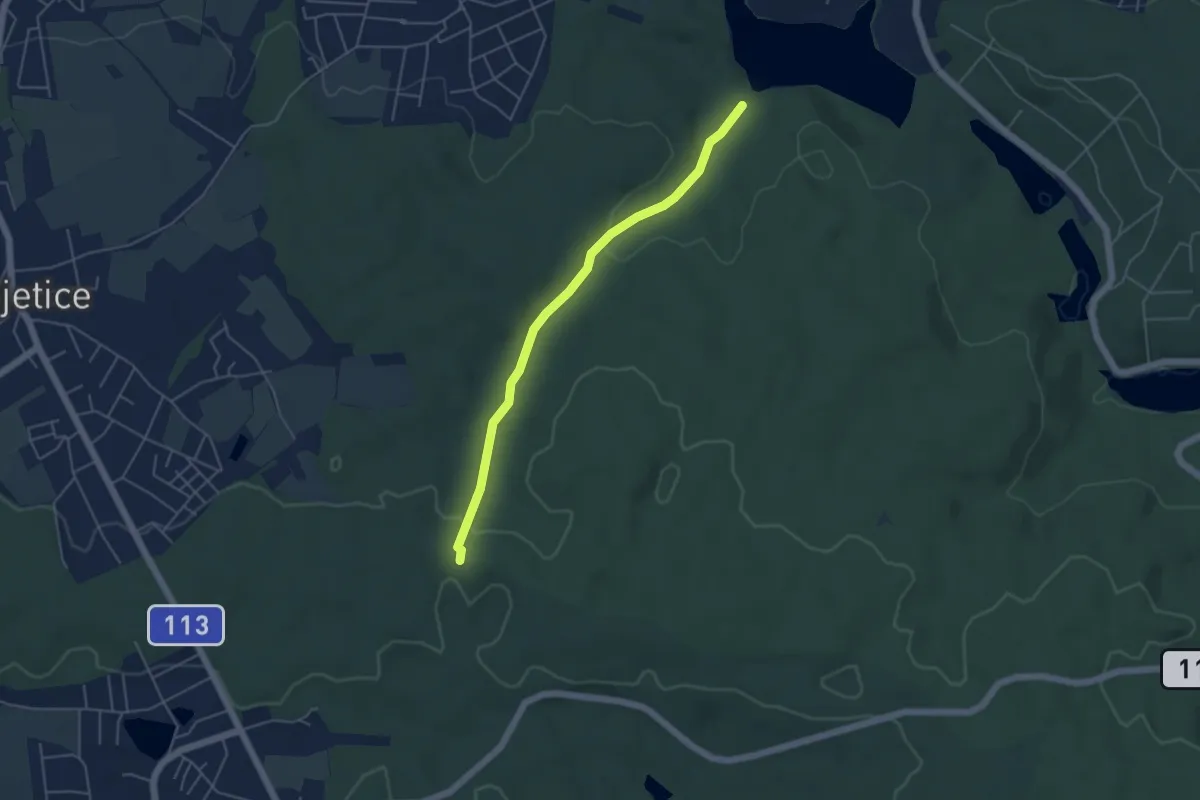
Easy · Trail
[Ž] Vyžlovský rybník - Voděradské bučiny
4.3 km · ↑ 87 m · 1 h 12 min
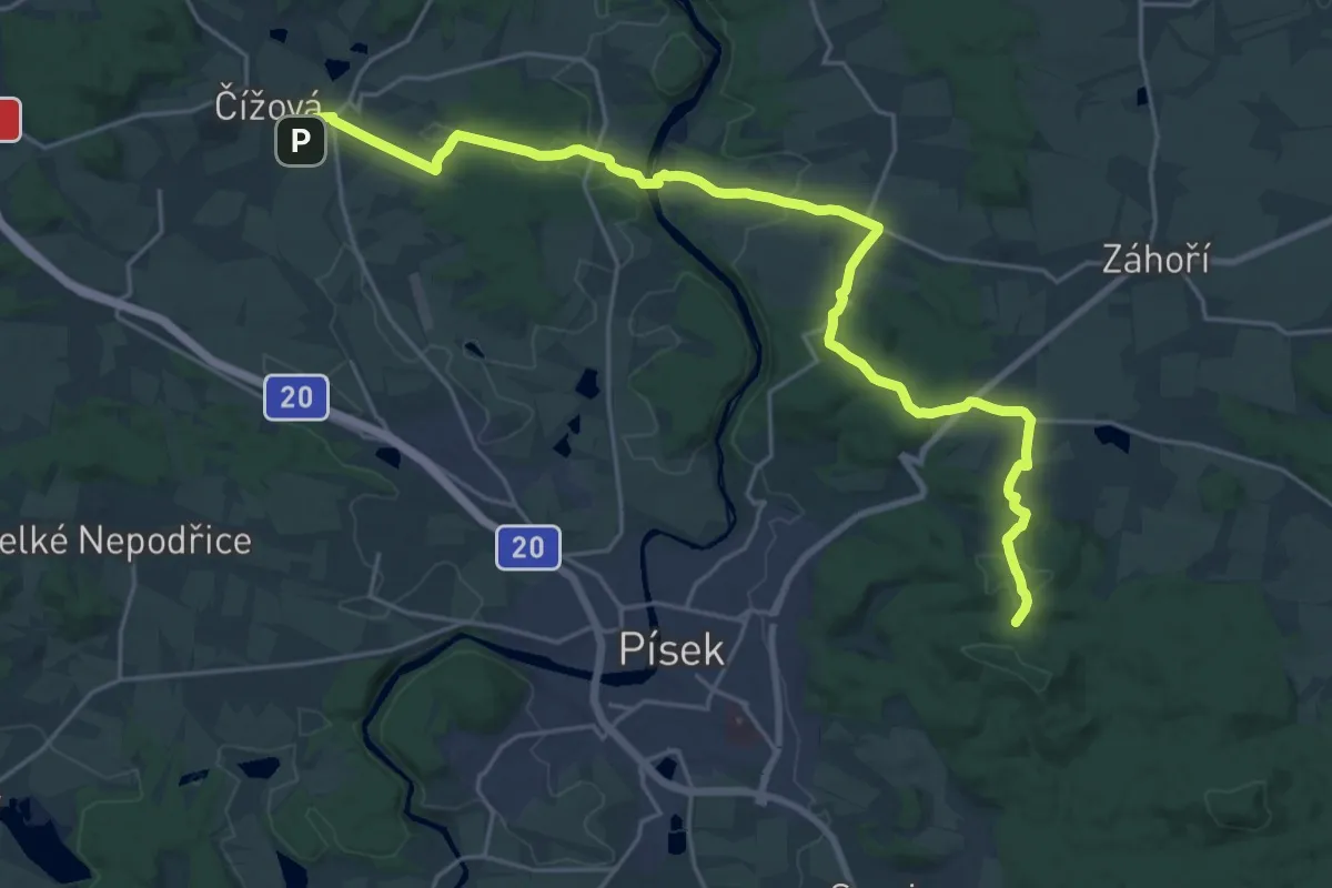
Demanding · Cabin
[Ž] V Živci - Čížová
25.1 km · ↑ 472 m · 6 h 57 min
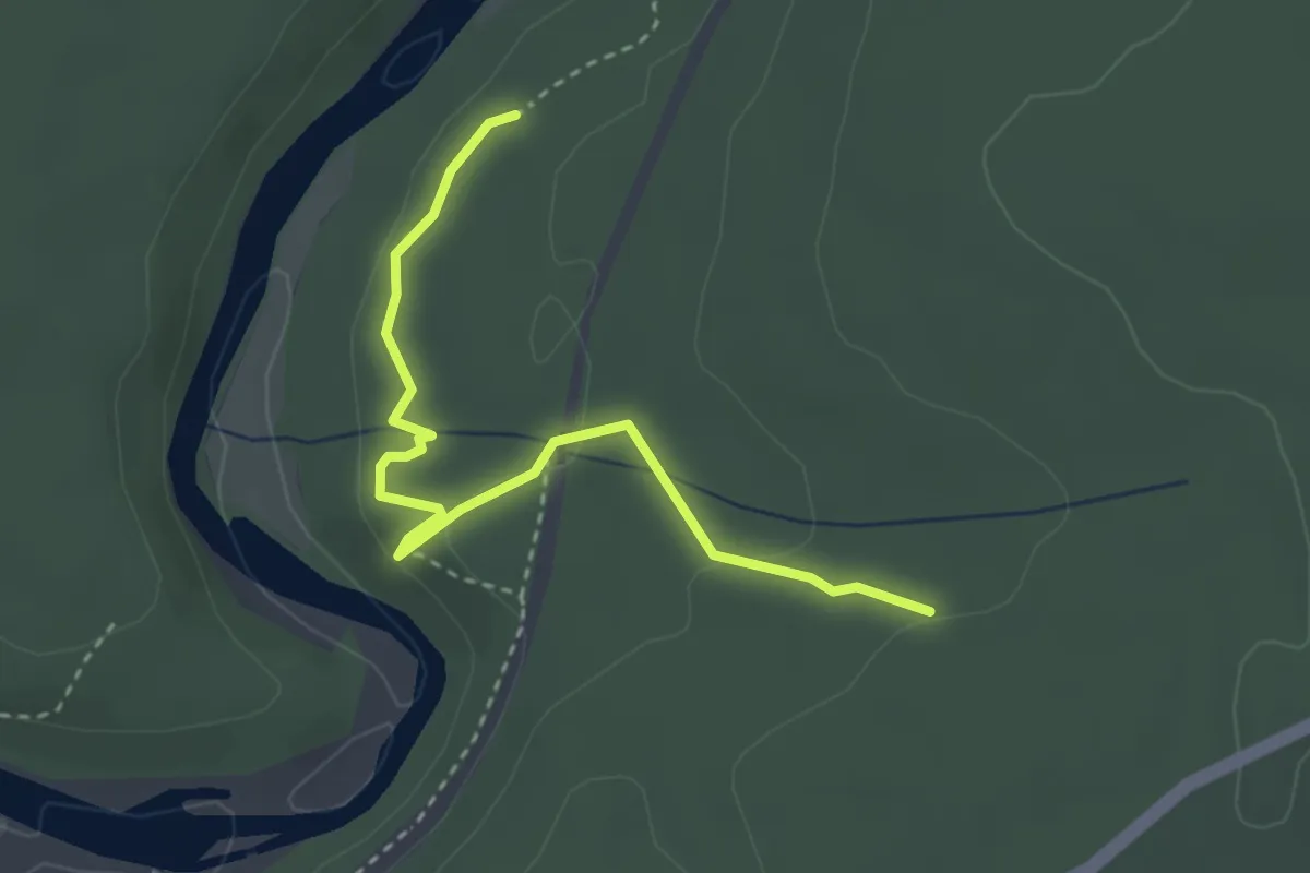
Easy · Trail
[Ž] Zábělá
3.2 km · ↑ 103 m · 58 min
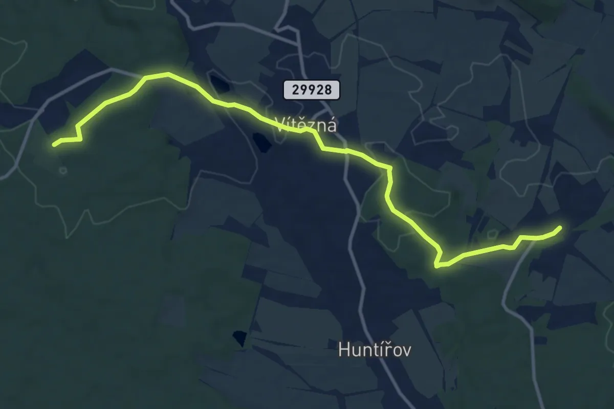
Medium · Trail
[Z] Záboří - Hájemství
10.5 km · ↑ 174 m · 2 h 51 min
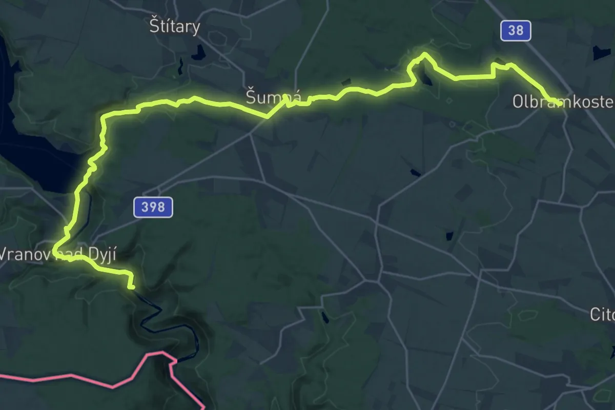
Medium · Trail
[Z] Zadní Hamry - Olbramkostel
16.6 km · ↑ 194 m · 4 h 35 min
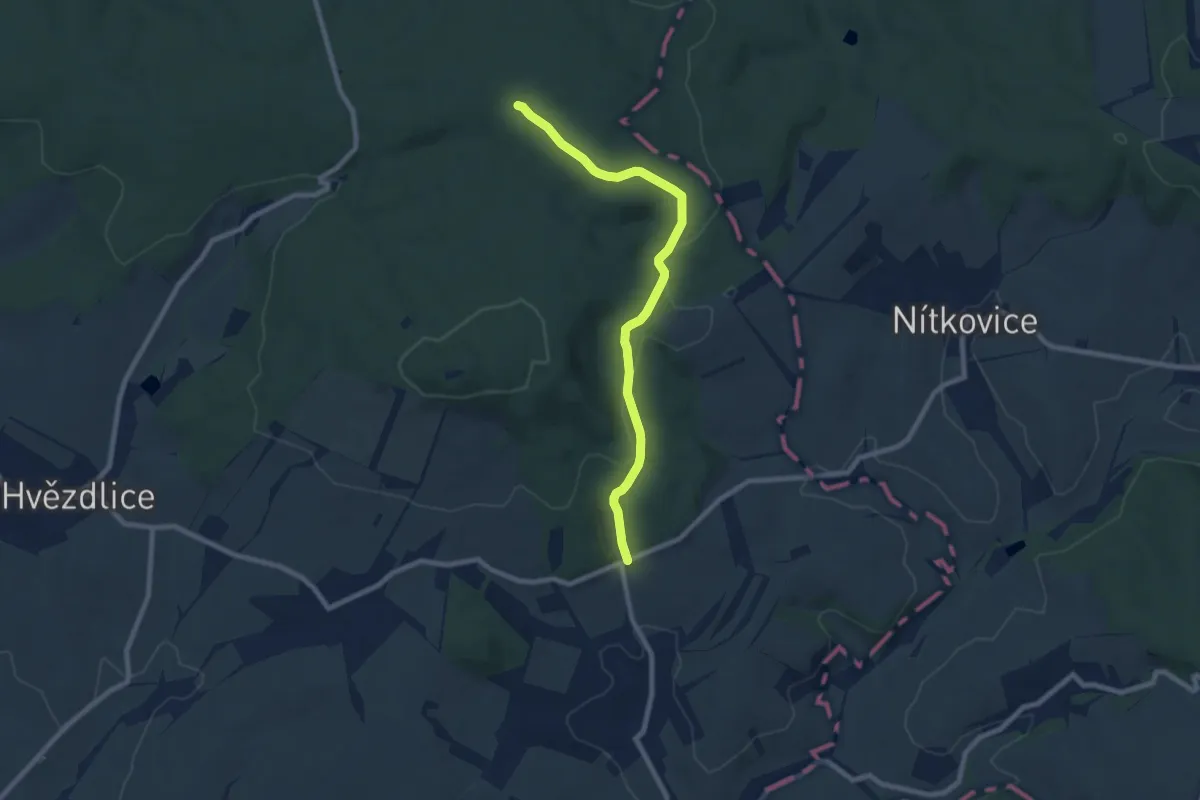
Easy · Trail
[Z] Zadní jezírko - Nemochovice
7.7 km · ↑ 190 m · 2 h 14 min
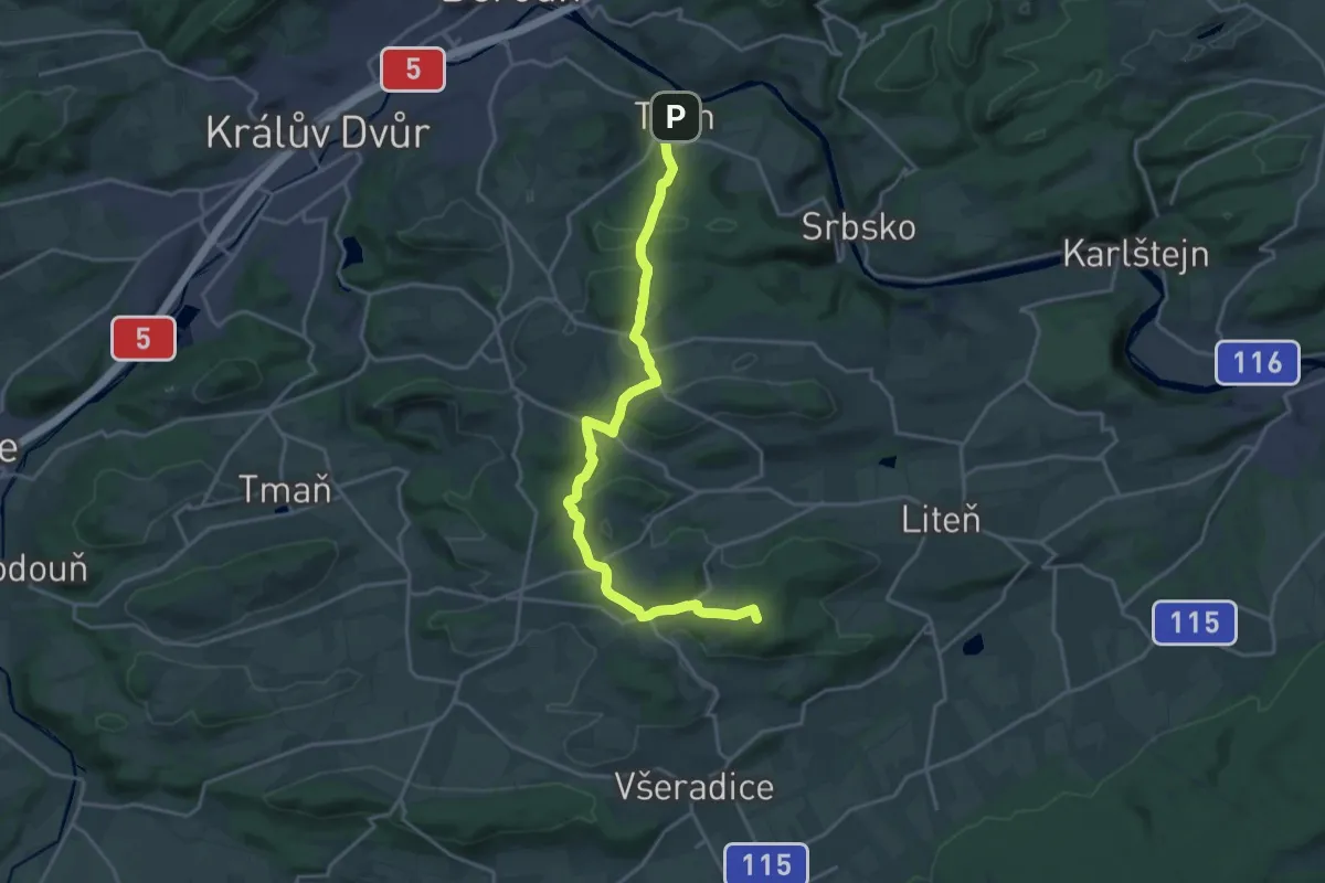
Demanding · Summit
[Z] Zadní Třebáň-Tetín
19.5 km · ↑ 392 m · 5 h 27 min
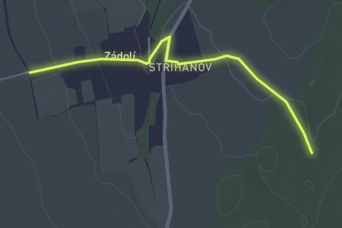
Easy · Trail
[Z] Zádolí - Hatě
3.6 km · ↑ 95 m · 1 h 4 min
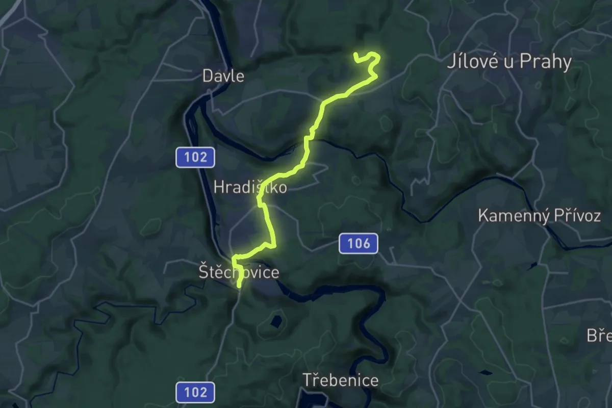
Medium · Trail
[Z] Zahořanský důl - Štěchovice
17.8 km · ↑ 515 m · 5 h 19 min
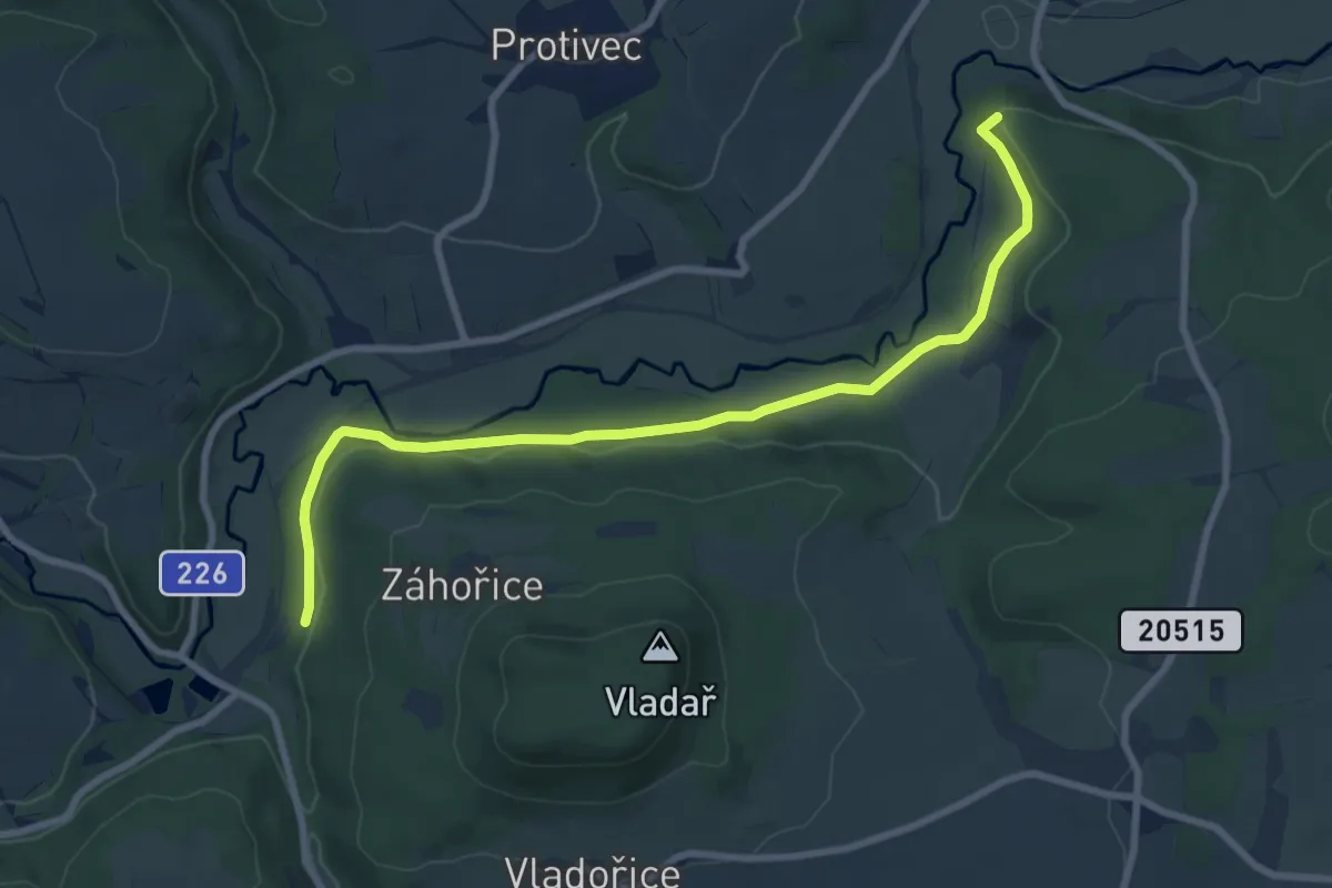
Medium · Summit
[Ž] Záhořice (rozc.) - Chyše
8.1 km · ↑ 135 m · 2 h 13 min
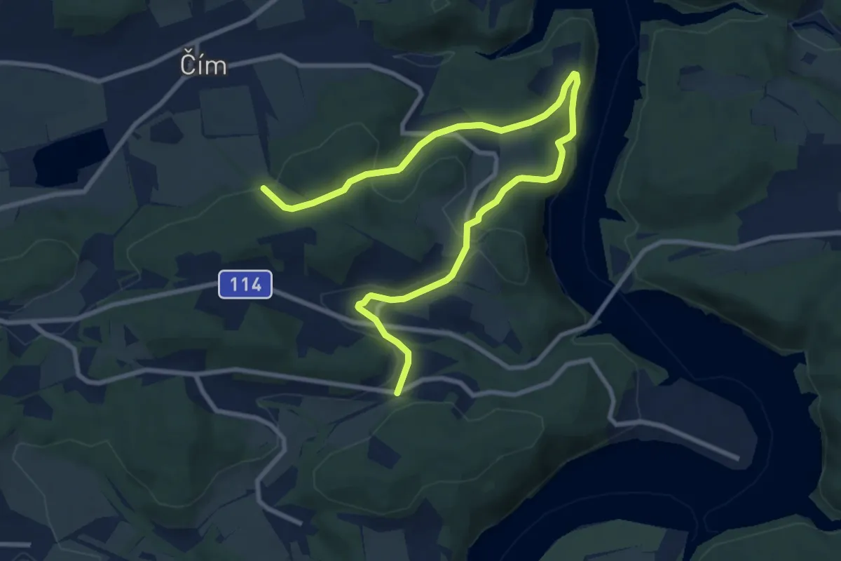
Medium · Trail
[Z] Záhoří - Pod Ostrým vrchem
10.4 km · ↑ 341 m · 3 h 12 min
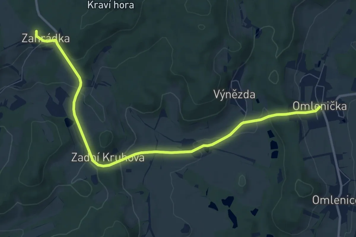
Medium · Trail
[Ž] Zahrádka - Omlenička
9.1 km · ↑ 267 m · 2 h 44 min
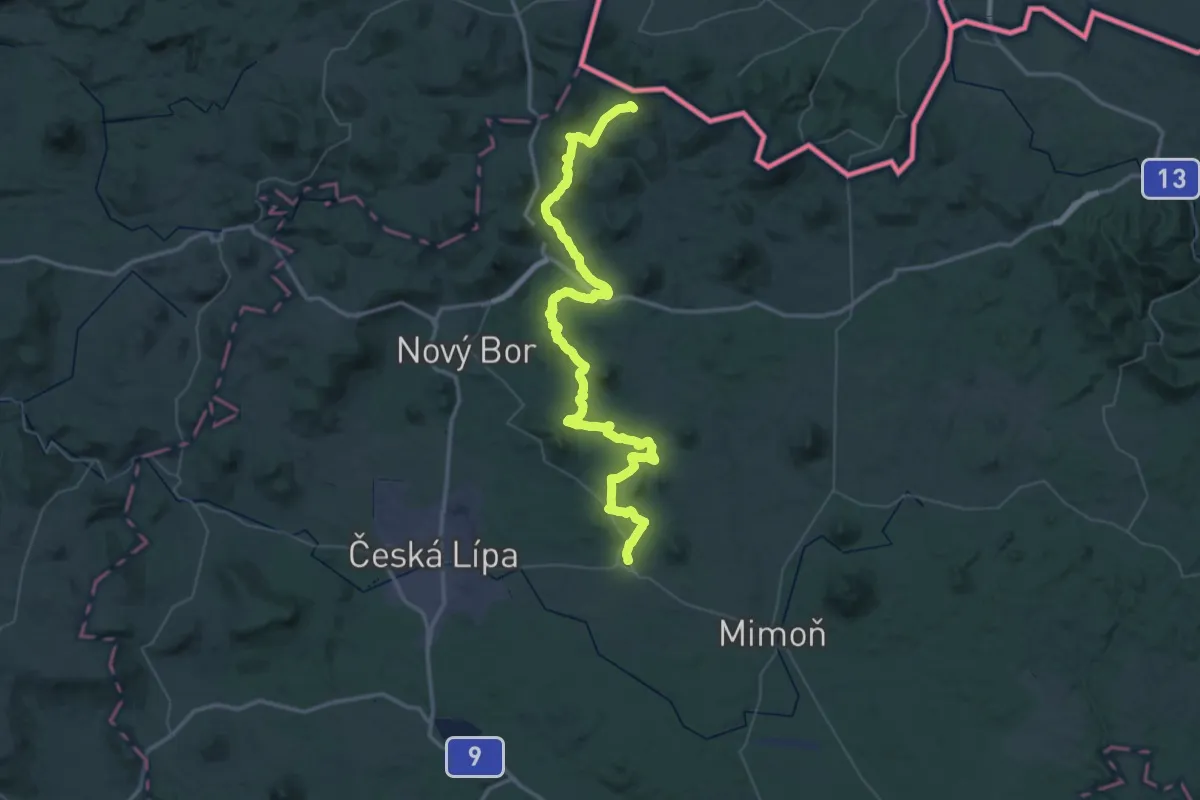
Expert · Trail
[Ž] Zákupy - Chata Luž
32.0 km · ↑ 865 m · 9 h 41 min
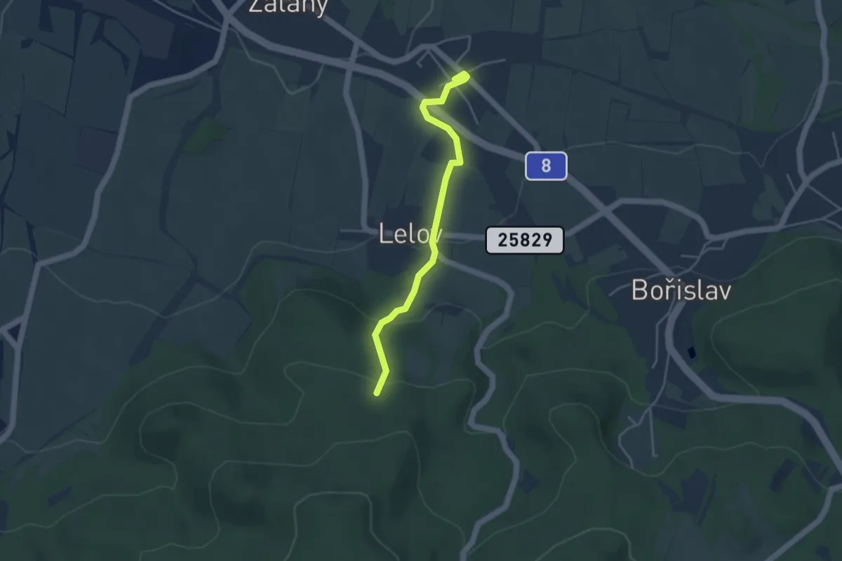
Easy · Trail
[Ž] Žalany (žst.) - Nad Lelovem
3.4 km · ↑ 136 m · 1 h 6 min
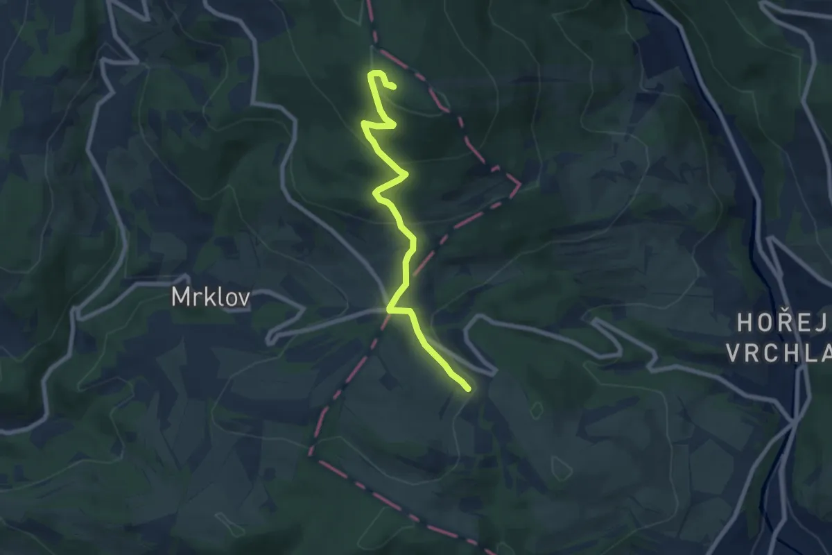
Medium · Summit
[Ž] Žalý - Vrchlabí
6.1 km · ↑ 323 m · 2 h 8 min
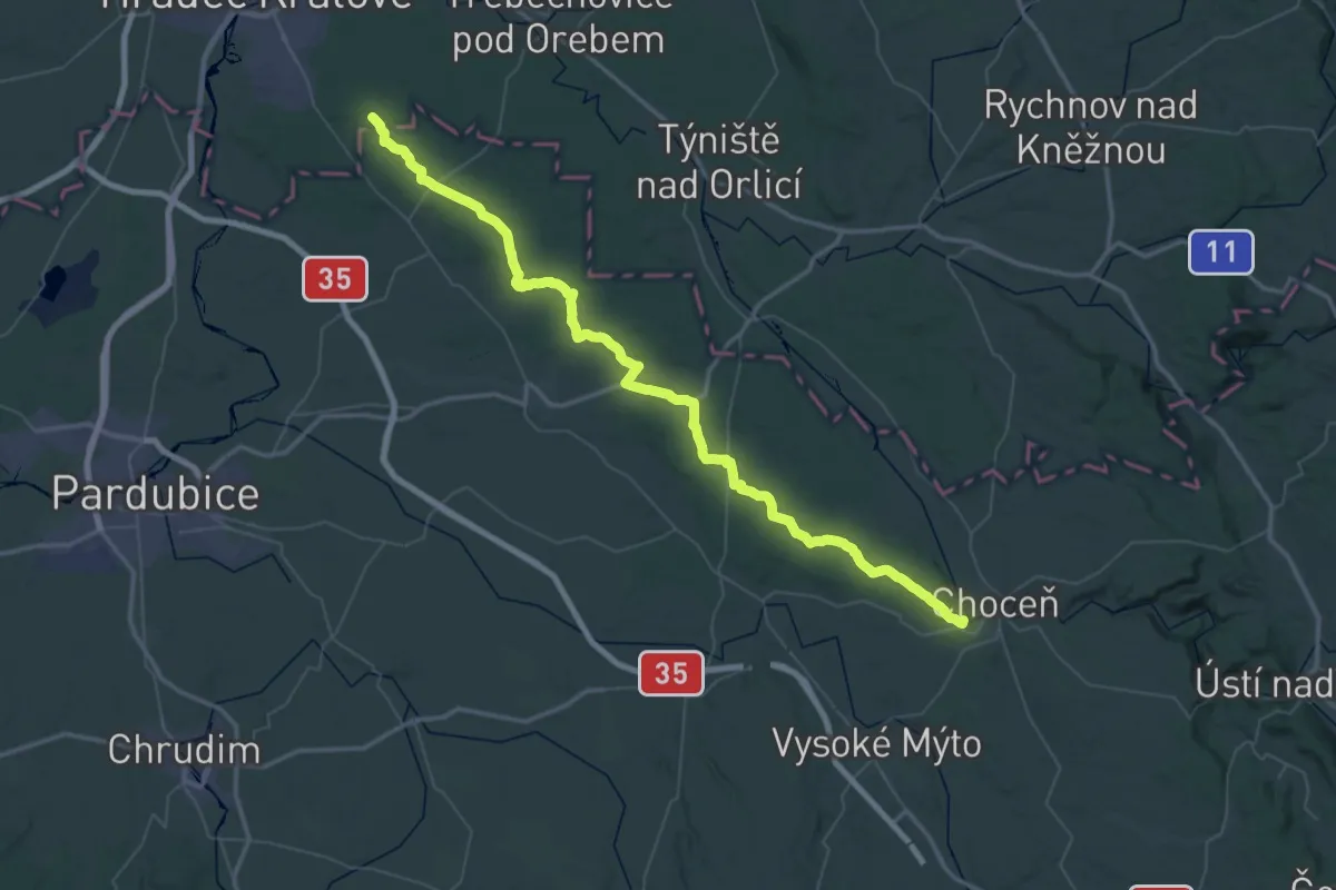
Demanding · Summit
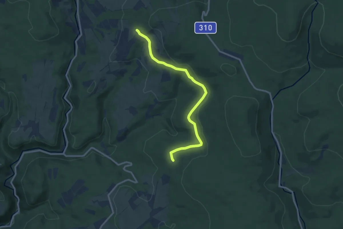
[Z] Zámeček - Choceň
70.9 km · ↑ 543 m · 17 h 54 min
Easy · Trail
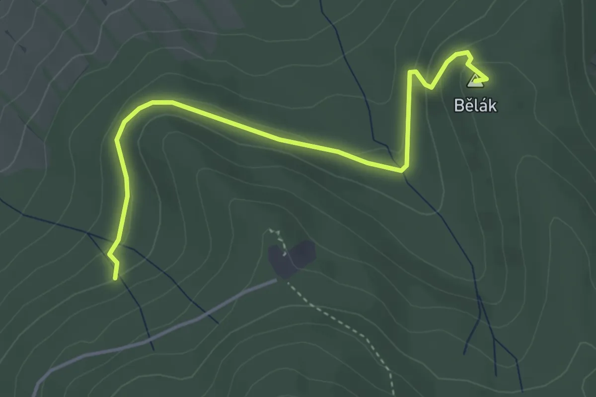
[Ž] Zámeček - Nad Svatým Matoušem
7.7 km · ↑ 142 m · 2 h 7 min
Easy · Summit
[Z] Zapomenutý pramen - Kostelník
3.8 km · ↑ 122 m · 1 h 10 min
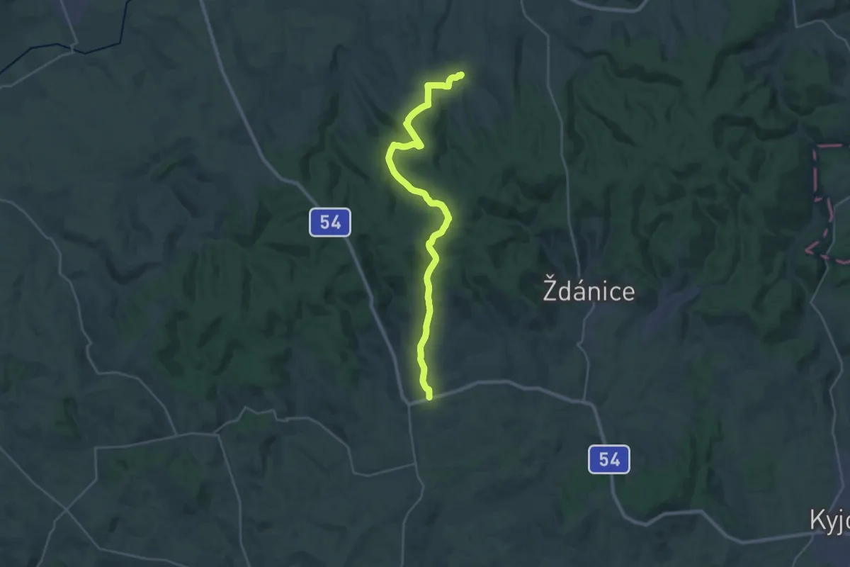
Demanding · Trail
[Ž] Žarošice-Mouřínov
24.8 km · ↑ 570 m · 7 h 6 min
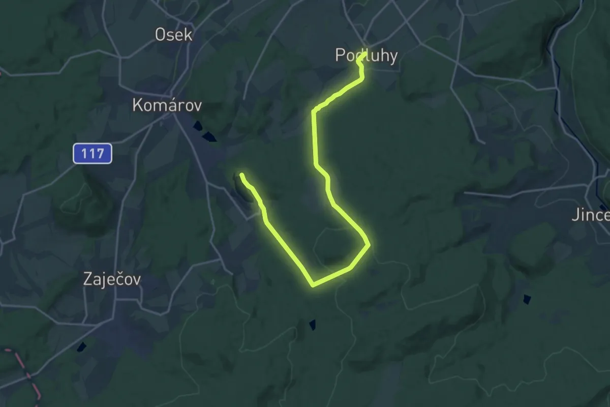
Demanding · Trail
[Ž] Záskalská - Podluhy
18.3 km · ↑ 446 m · 5 h 17 min
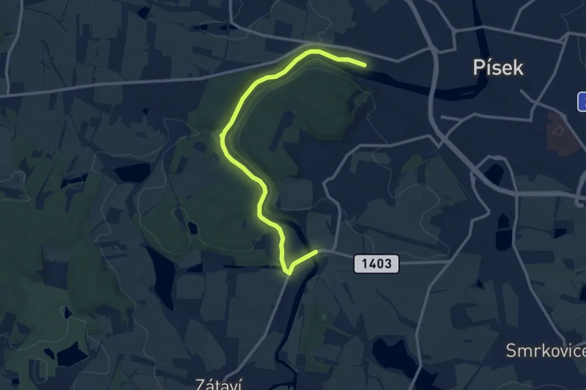
Medium · Trail
[Z] Zátavský most - Písek, koupaliště
8.7 km · ↑ 192 m · 2 h 28 min
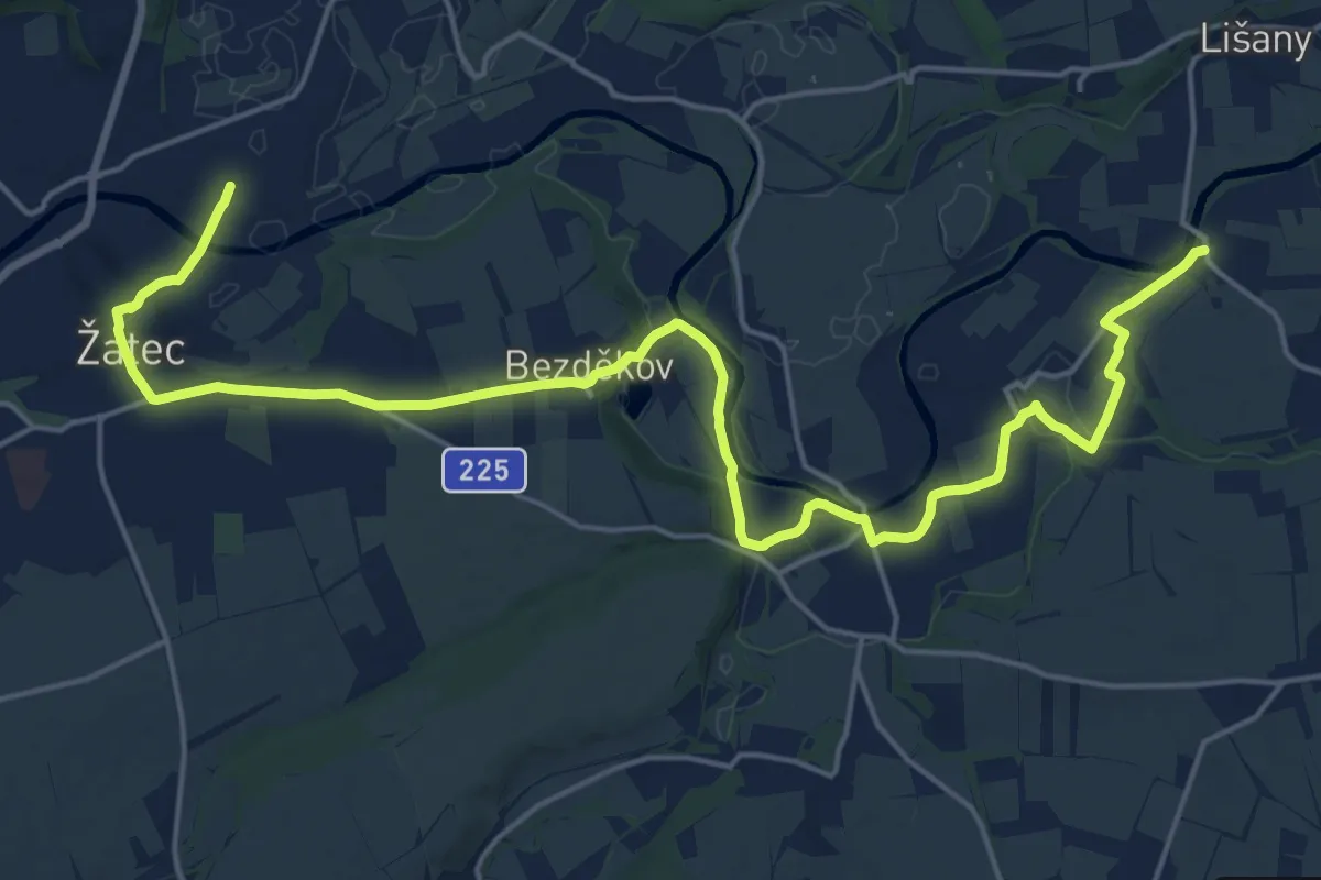
Demanding · Trail
[Ž] Žatec - Hradiště
22.4 km · ↑ 156 m · 5 h 38 min
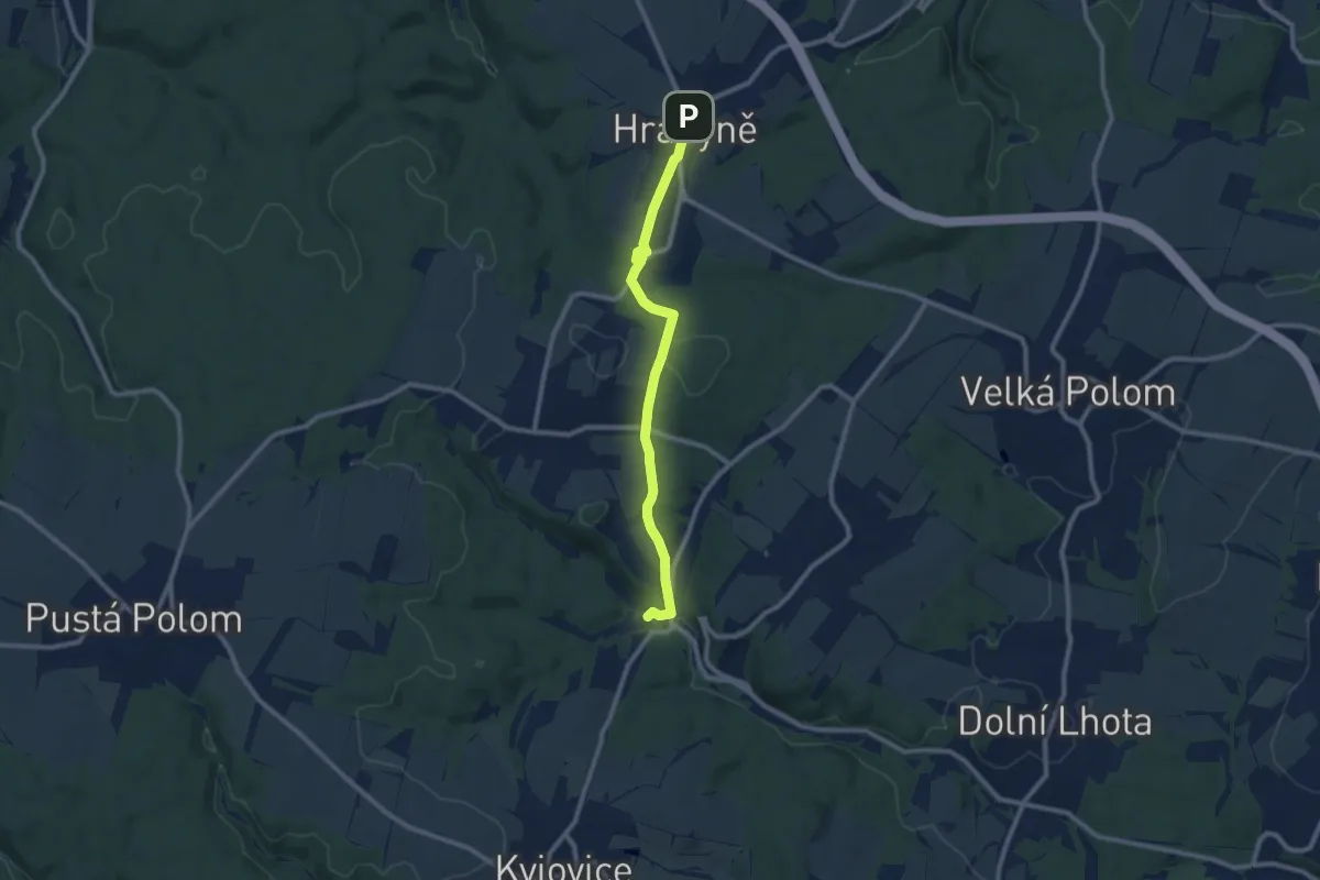
Medium · Trail
[Z] Zátiší - Hrabyně
8.9 km · ↑ 189 m · 2 h 30 min
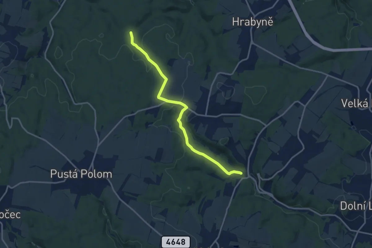
Medium · Trail
[Ž] Zátiší - Údolí Ohrozimy
10.3 km · ↑ 230 m · 2 h 56 min
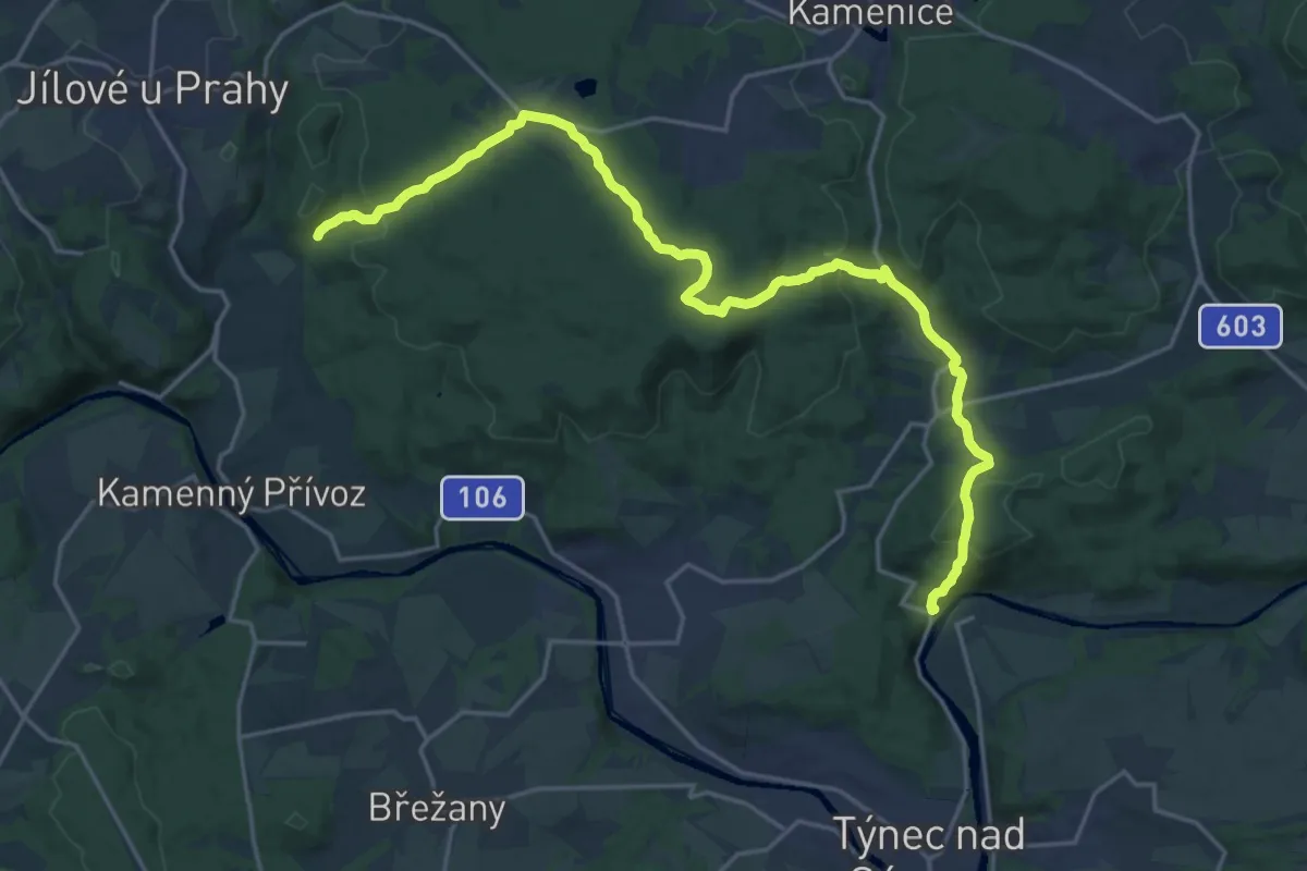
Demanding · Trail
[Z] Zbořený Kostelec - Halíře
21.6 km · ↑ 677 m · 6 h 35 min
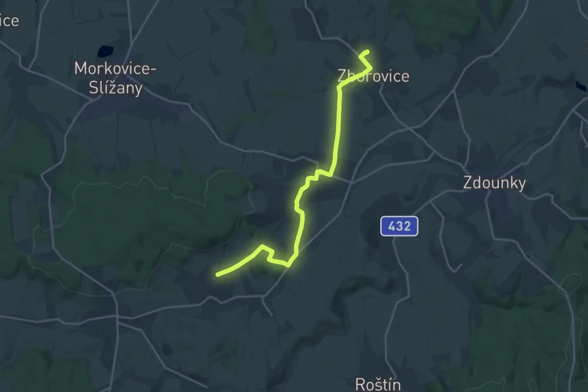
Medium · Trail
[Z] Zborovice - Hoštice
16.0 km · ↑ 252 m · 4 h 19 min
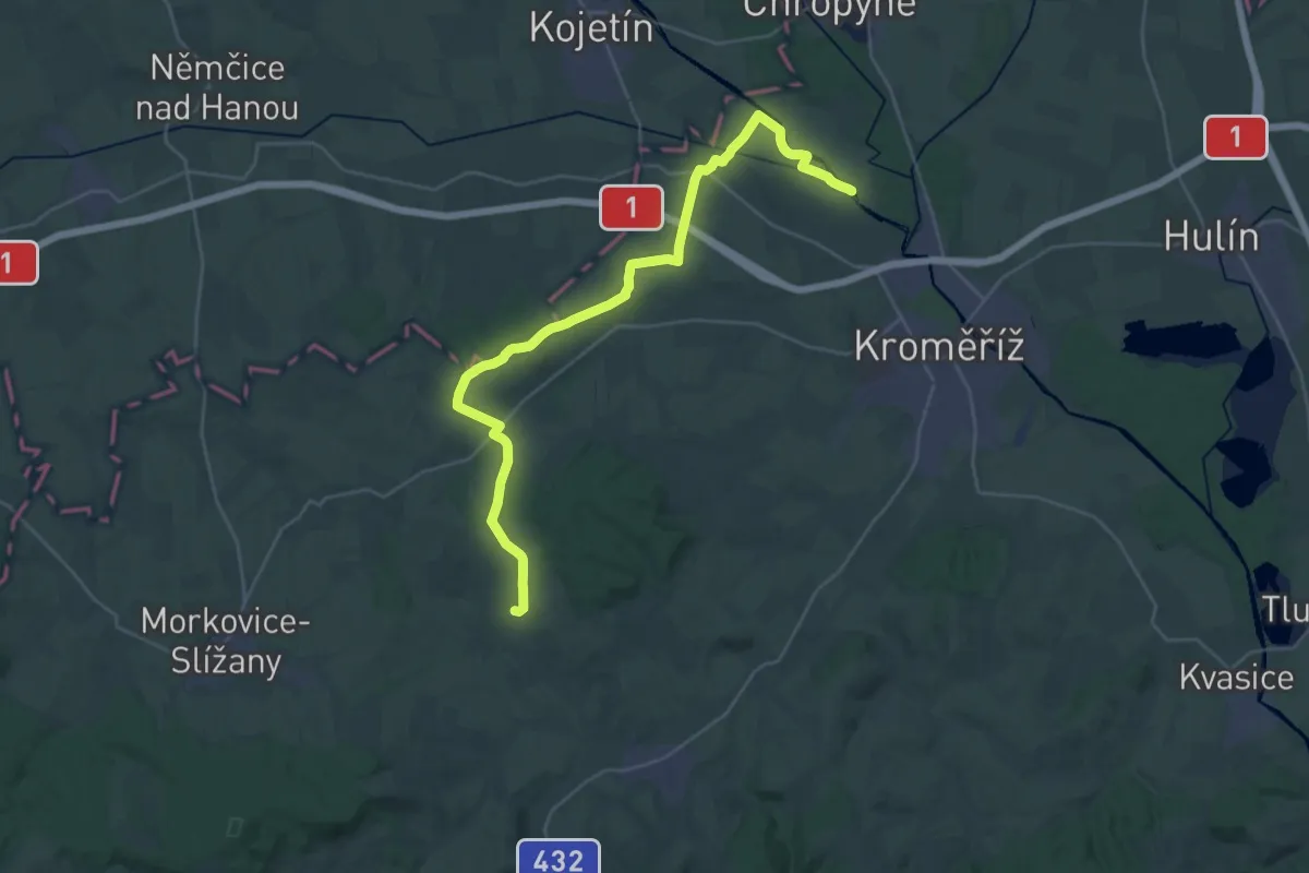
Medium · Trail
[Ž] Zborovice - Miňůvský most
16.5 km · ↑ 184 m · 4 h 33 min
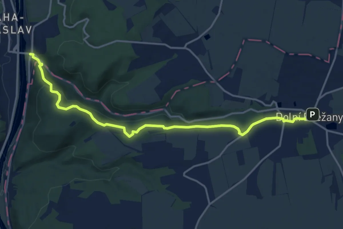
Medium · Trail
[Z] Zbraslav - Dolní Břežany
11.0 km · ↑ 286 m · 3 h 12 min
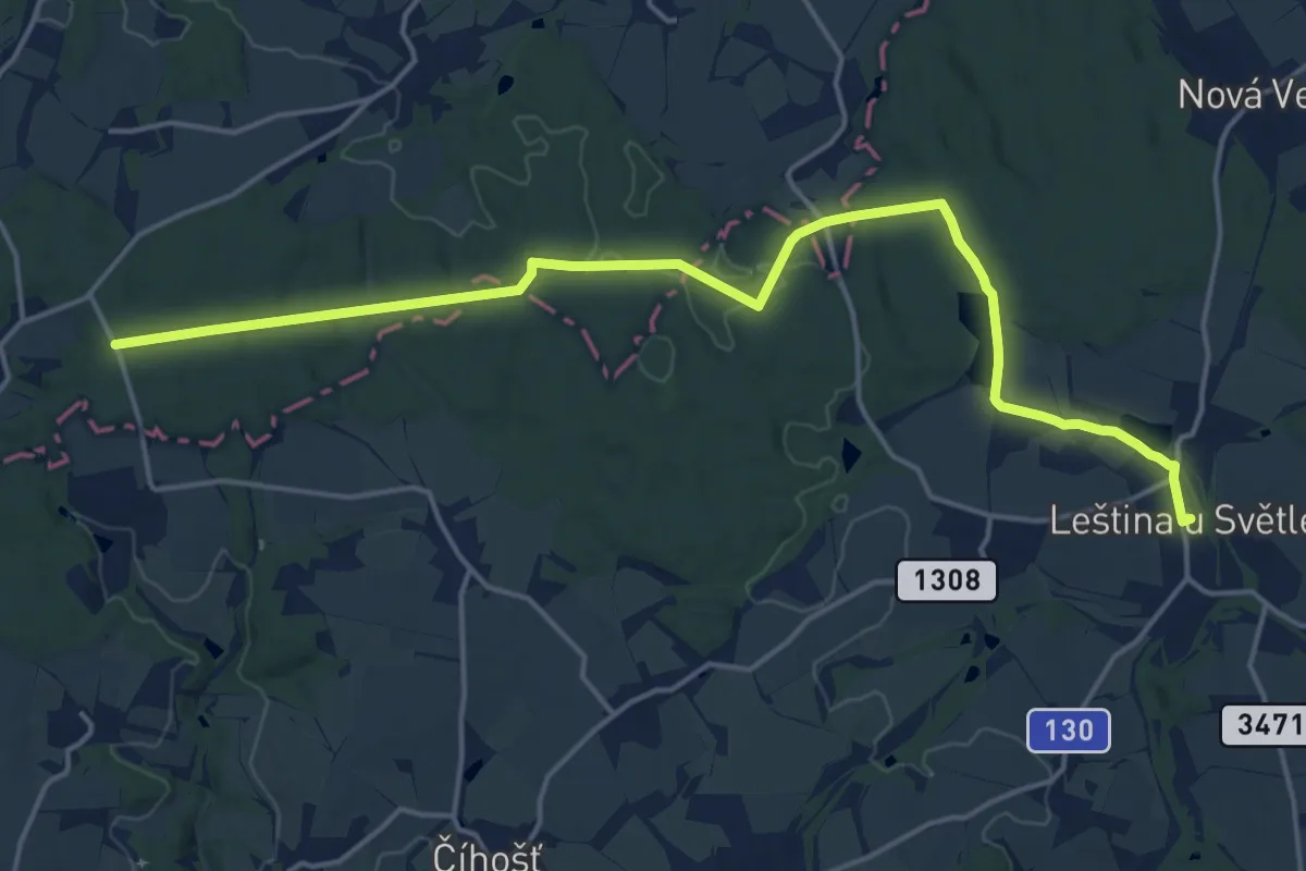
Medium · Trail
[Ž] Zbraslavice - Leština u Světlé
17.7 km · ↑ 266 m · 4 h 45 min
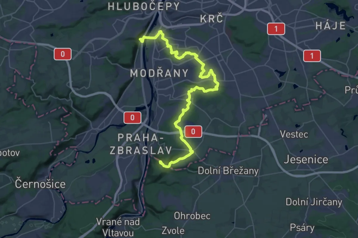
Medium · Trail
[Z] Zbraslav - Malá Chuchle
17.2 km · ↑ 284 m · 4 h 57 min
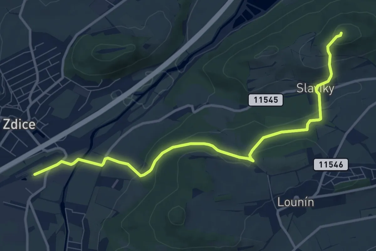
Medium · Summit
[Z] Zdice - Koukolova hora
9.0 km · ↑ 310 m · 2 h 48 min
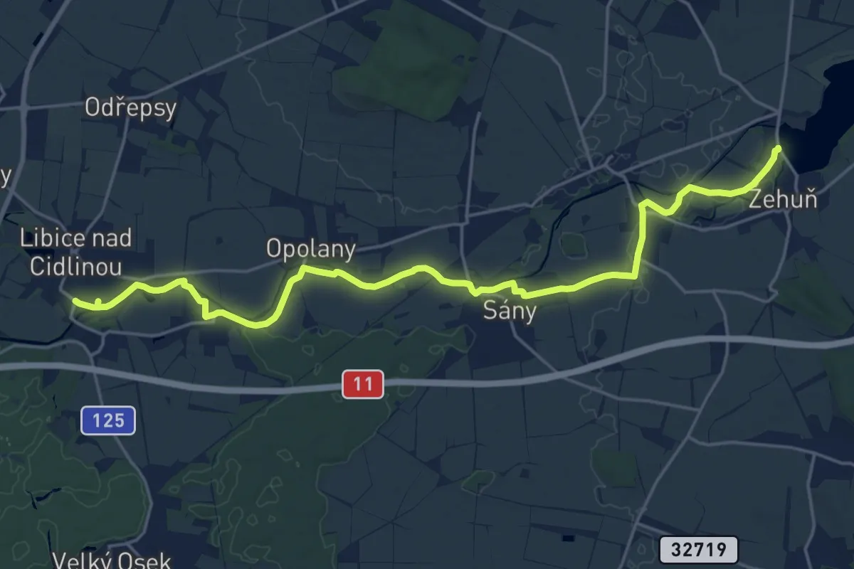
Demanding · Trail
[Z] Žehuň - Libice nad Cidlinou
20.6 km · ↑ 21 m · 4 h 55 min
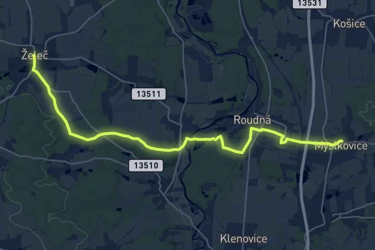
Demanding · Trail
[Z] Želeč - Myslkovice
20.2 km · ↑ 224 m · 5 h 15 min
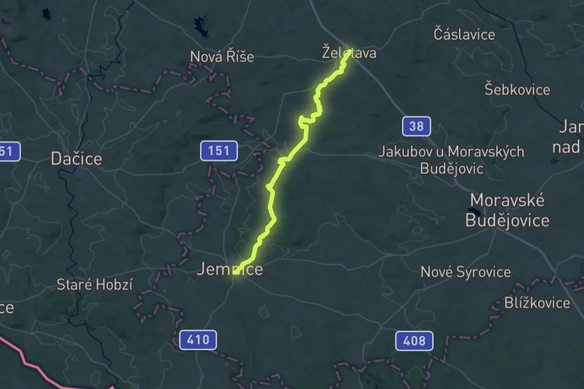
Demanding · Trail
[Z] Želetava - Jemnice
20.1 km · ↑ 241 m · 5 h 35 min
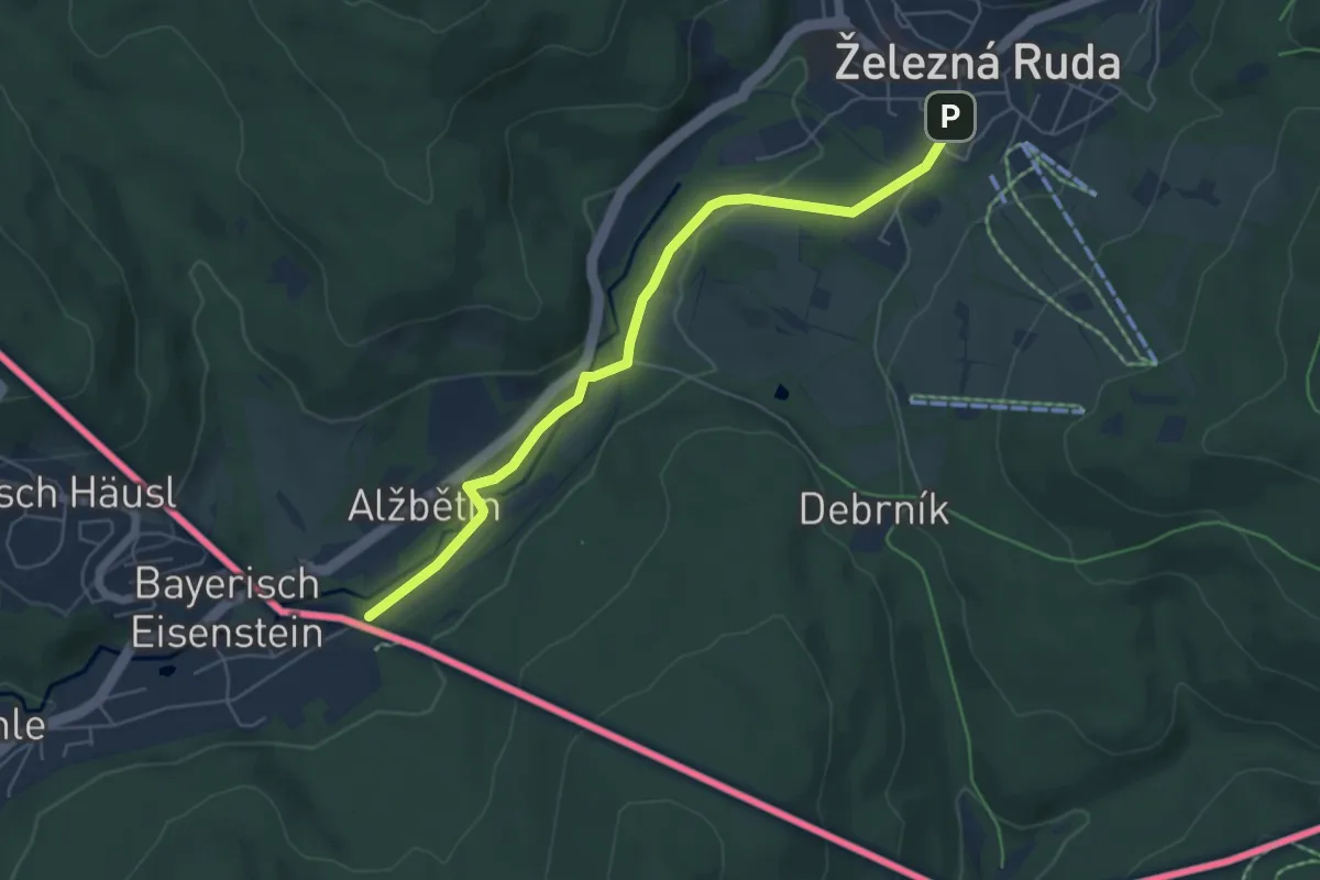
Easy · Trail
[Ž] Železná Ruda, Alžbětín - Železná Ruda, nám.
5.4 km · ↑ 44 m · 1 h 22 min
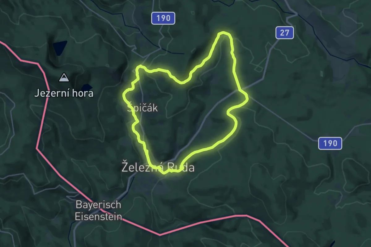
Demanding · Trail
[Z] Železnorudský okruh
18.6 km · ↑ 463 m · 5 h 39 min
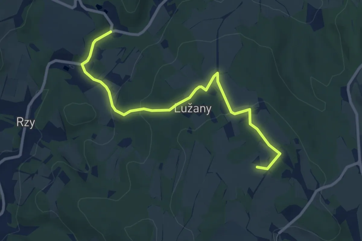
Easy · Summit
[Z] Zelinkův Mlýn - Sněžné
6.2 km · ↑ 203 m · 1 h 54 min
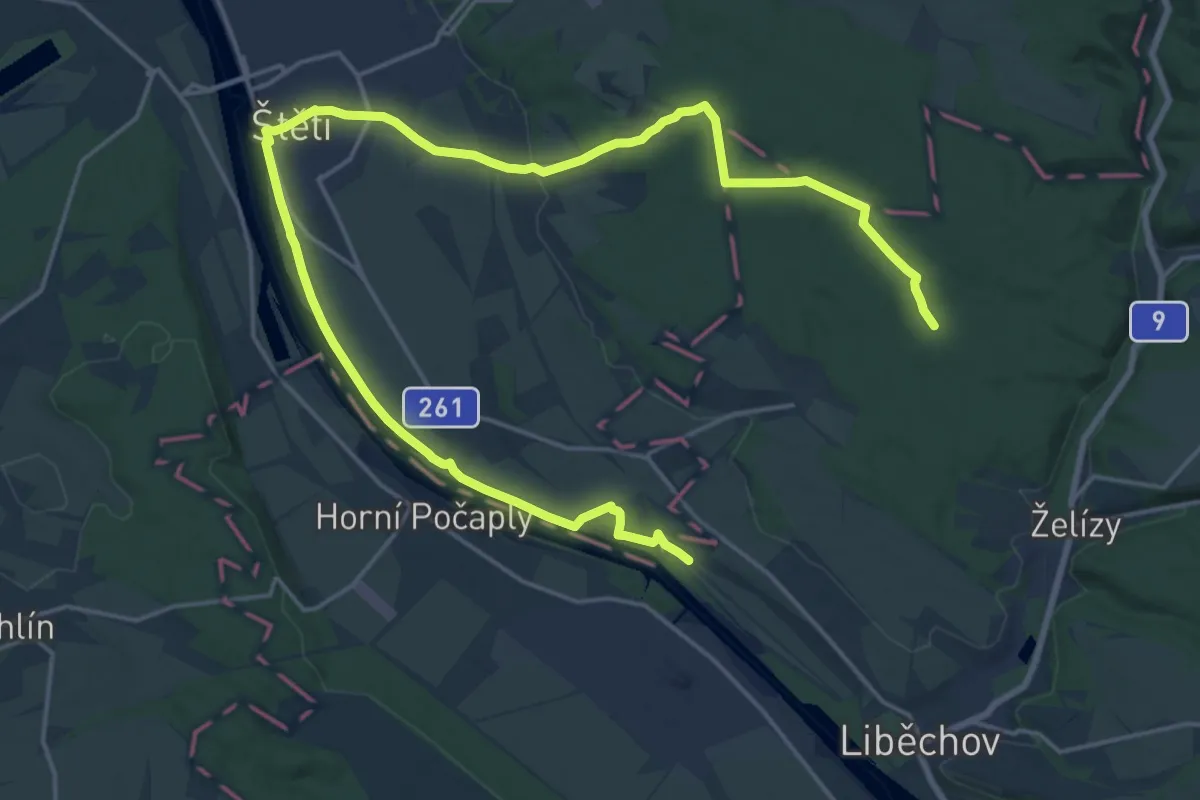
Demanding · Trail
[Ž] Želízy - Liběchov
25.4 km · ↑ 194 m · 6 h 25 min
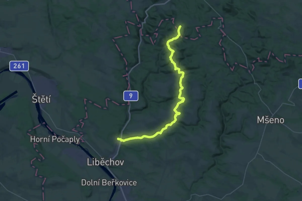
Medium · Trail
[Ž] Želízy - Nedvězí
16.3 km · ↑ 498 m · 5 h 2 min
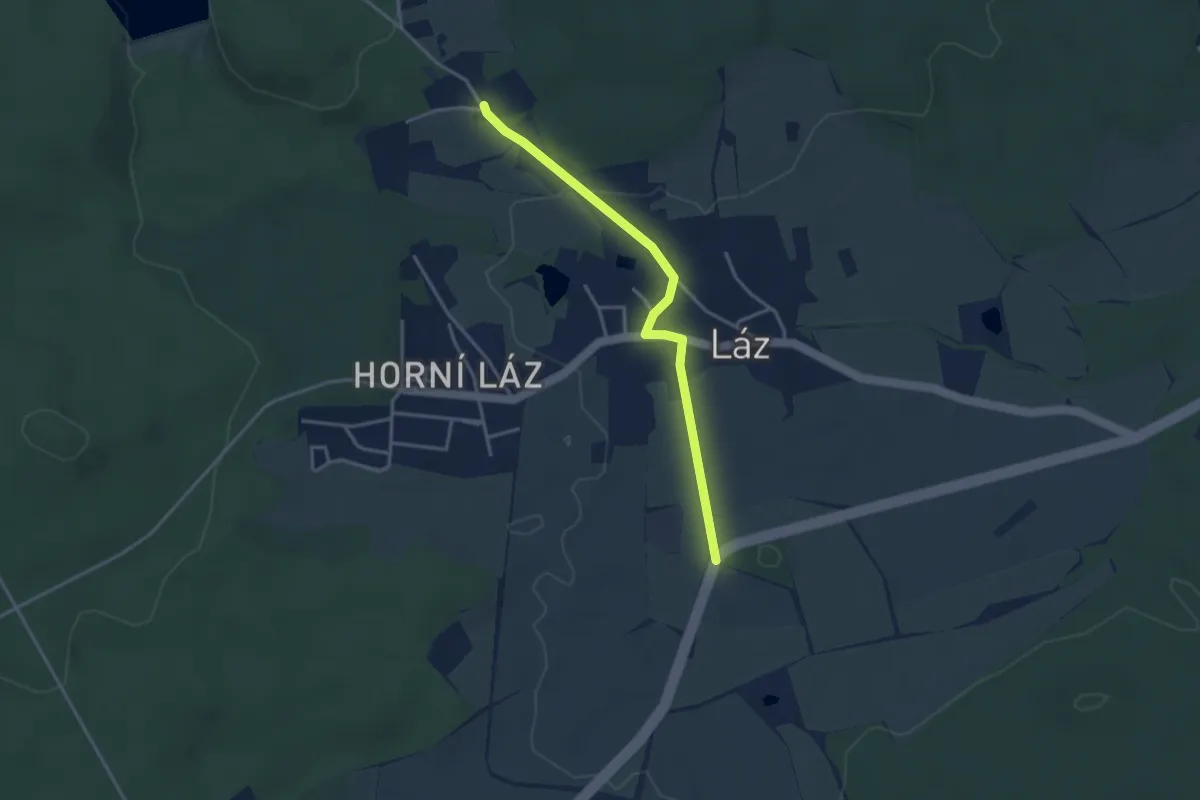
Easy · Trail
[Ž] Žernová - Láz, Jamky
3.2 km · ↑ 37 m · 50 min