Trails in Ecuador
32 hiking trails, each with its route, climb, walking time and grade.
Near a town
All trails
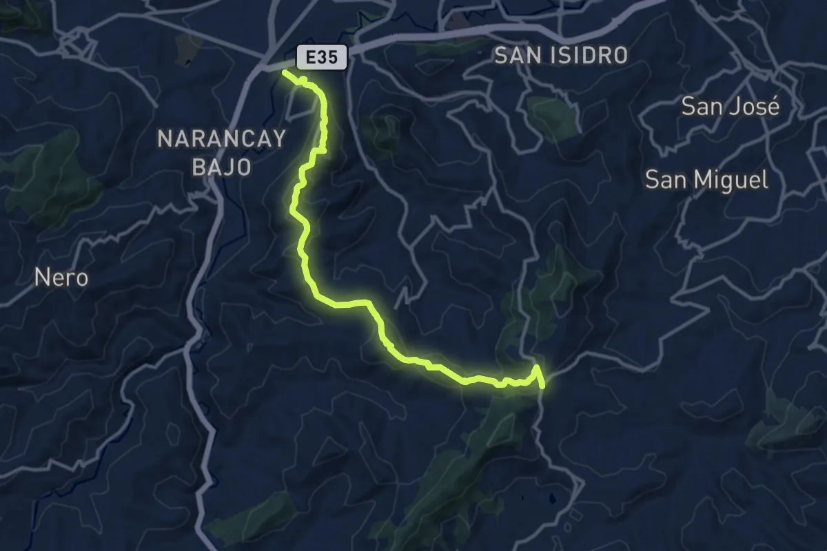
Medium · Trail
CaminANTES Ruta 10: Cerro Jutcoloma - Cerro El Calvario Papaloma
17.1 km · ↑ 794 m · 5 h 46 min
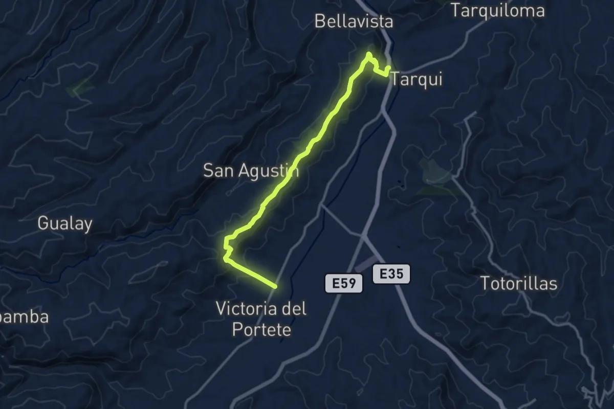
Medium · Trail
CaminANTES Ruta 11: Francés Urco - Tarqui
15.9 km · ↑ 729 m · 5 h 19 min
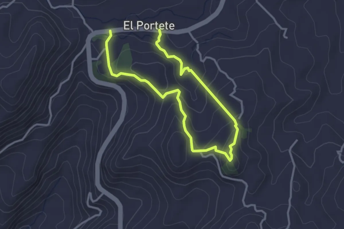
Medium · Trail
CaminANTES Ruta 12: Shío
6.2 km · ↑ 339 m · 2 h 12 min
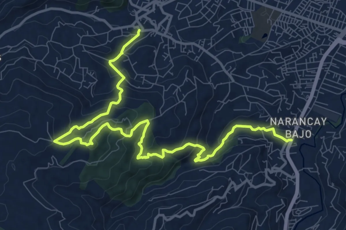
Demanding · Trail
CaminANTES Ruta 13: Narancay - Cerro Uchuloma - Baños
16.5 km · ↑ 894 m · 5 h 49 min
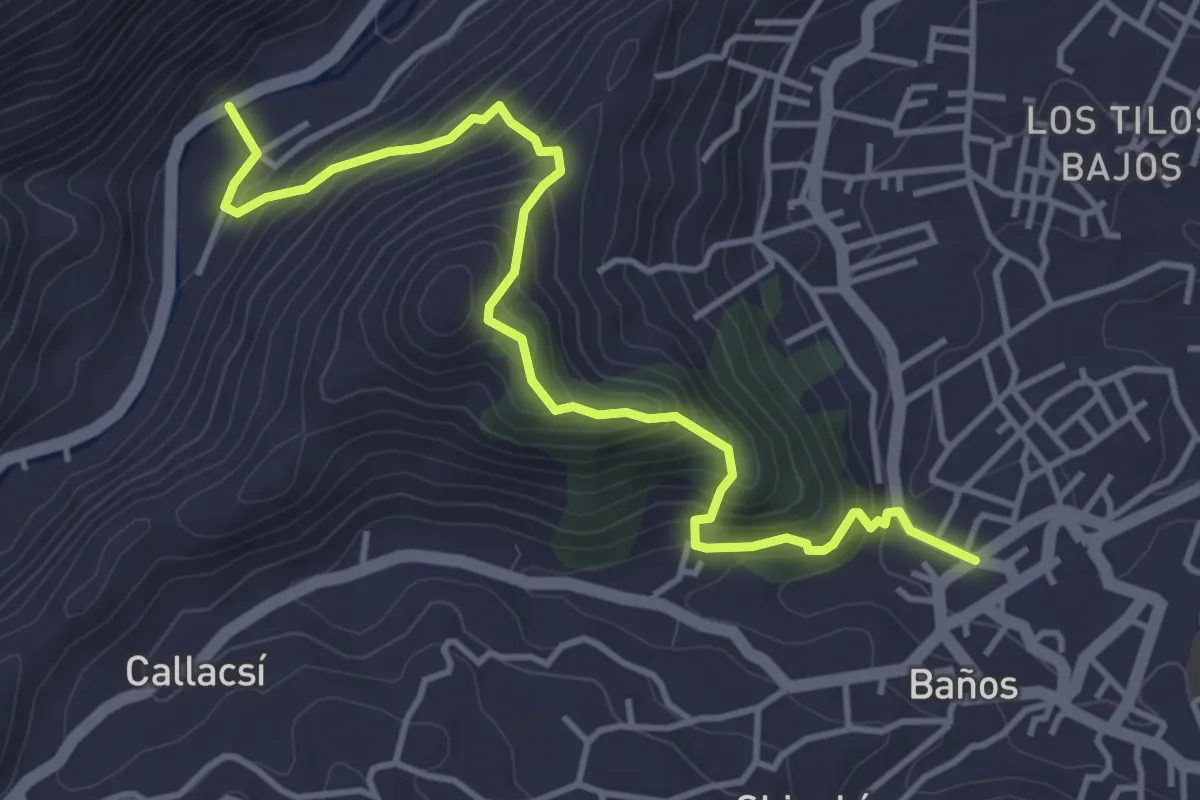
Medium · Trail
CaminANTES Ruta 14: Barabón – Cerro Huizhil – Baños
6.6 km · ↑ 577 m · 2 h 49 min
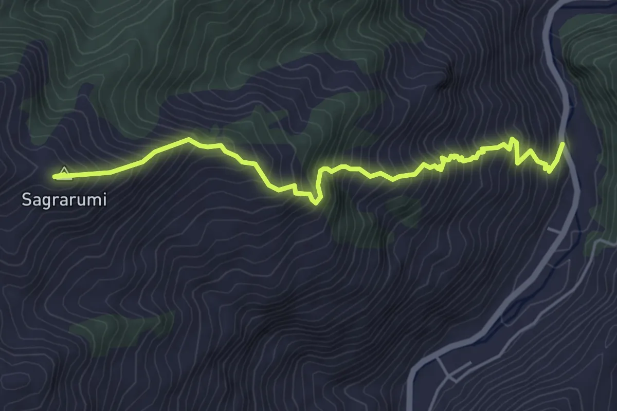
Demanding · Summit
CaminANTES Ruta 15: Barabón – Pallkarumi – Sayausí
7.2 km · ↑ 903 m · 3 h 39 min
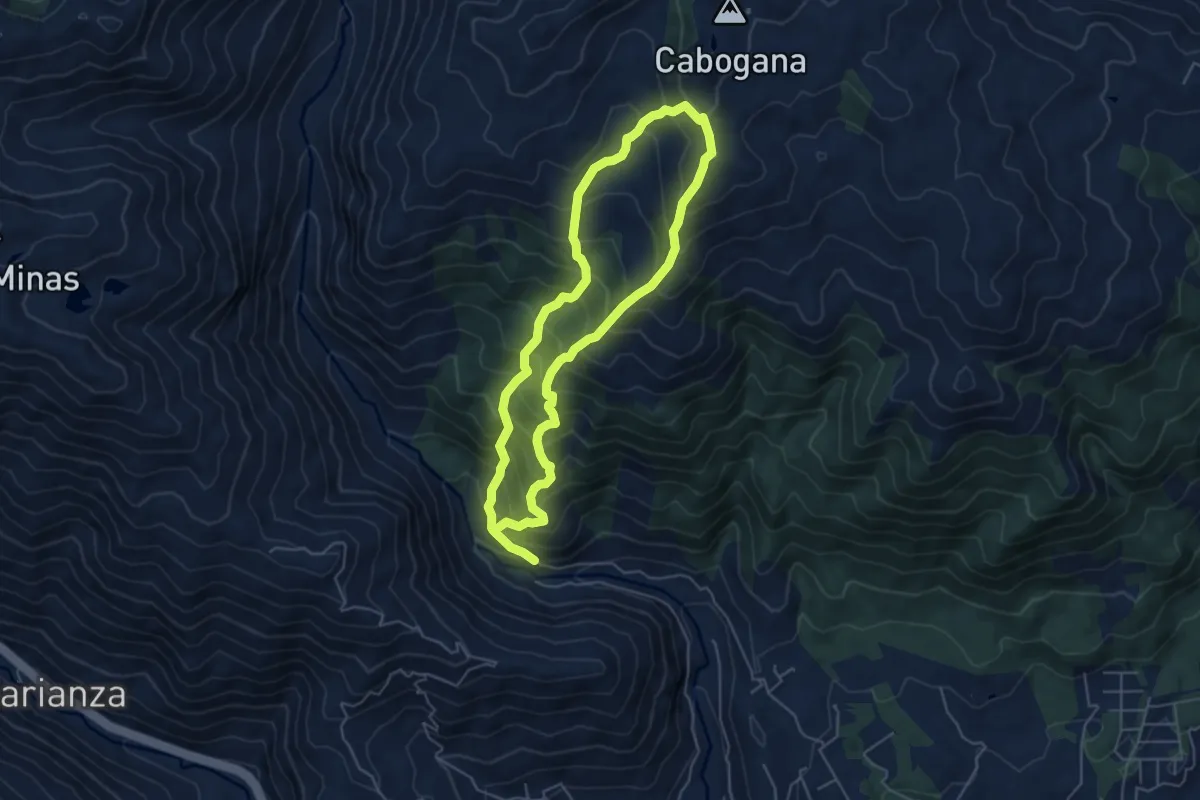
Demanding · Trail
CaminANTES Ruta 16: Cabogana
13.6 km · ↑ 1476 m · 6 h 25 min
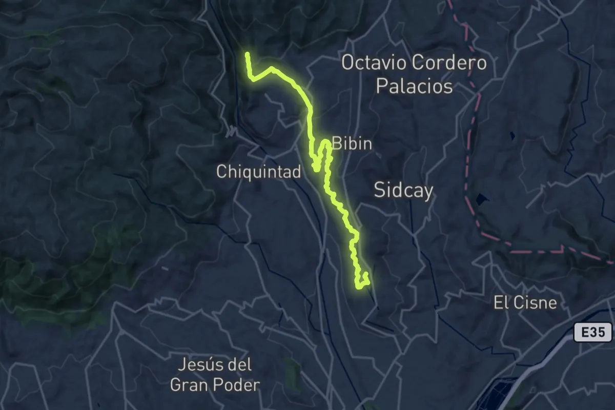
Demanding · Trail
CaminANTES Ruta 1: Zhinglla Cachaulo
24.2 km · ↑ 813 m · 7 h 28 min
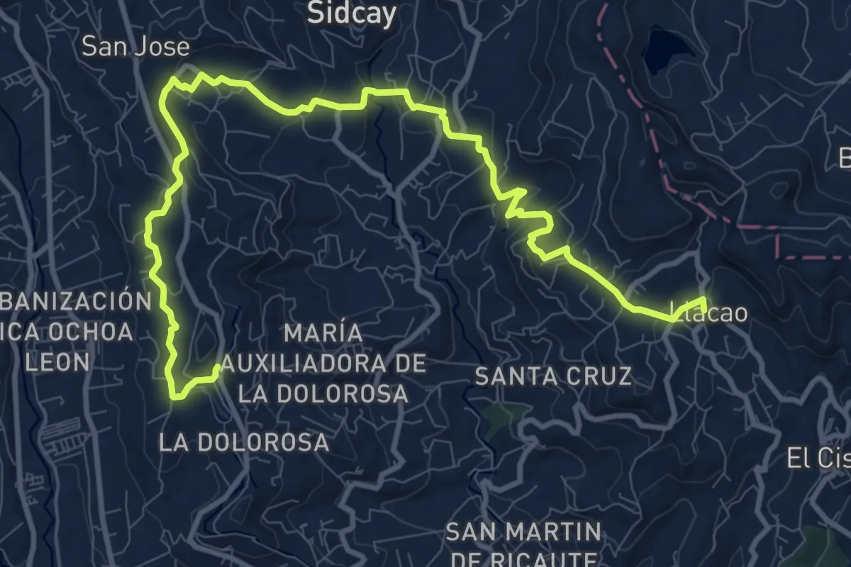
Demanding · Trail
CaminANTES Ruta 2: Cerro Cachaulo - Llacao
18.2 km · ↑ 579 m · 5 h 33 min
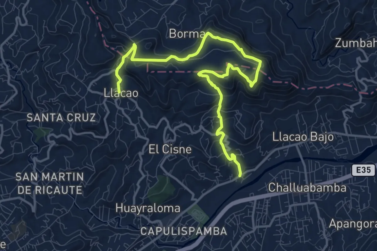
Medium · Trail
CaminANTES Ruta 3: Llacao - Cerro Pachamama - Zhiquir
17.8 km · ↑ 714 m · 5 h 46 min
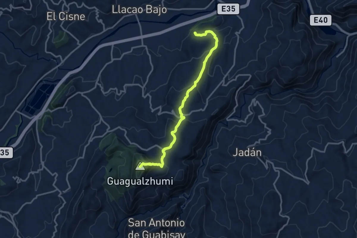
Demanding · Summit
CaminANTES Ruta 4: Cerro Plateado - Cerro Guagualzhumi
14.4 km · ↑ 742 m · 5 h 1 min
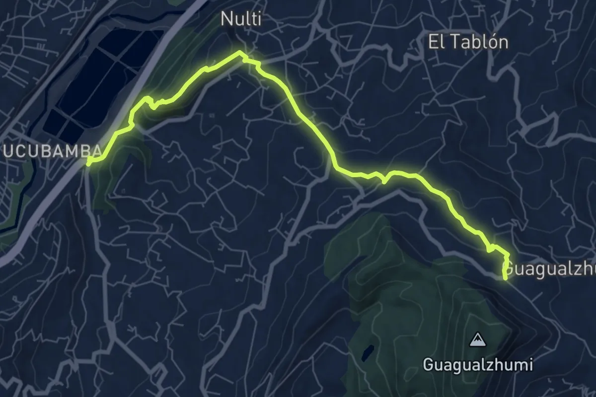
Medium · Trail
CaminANTES Ruta 6: Guagualzhumi – Cerro Jalshi
11.8 km · ↑ 559 m · 4 h
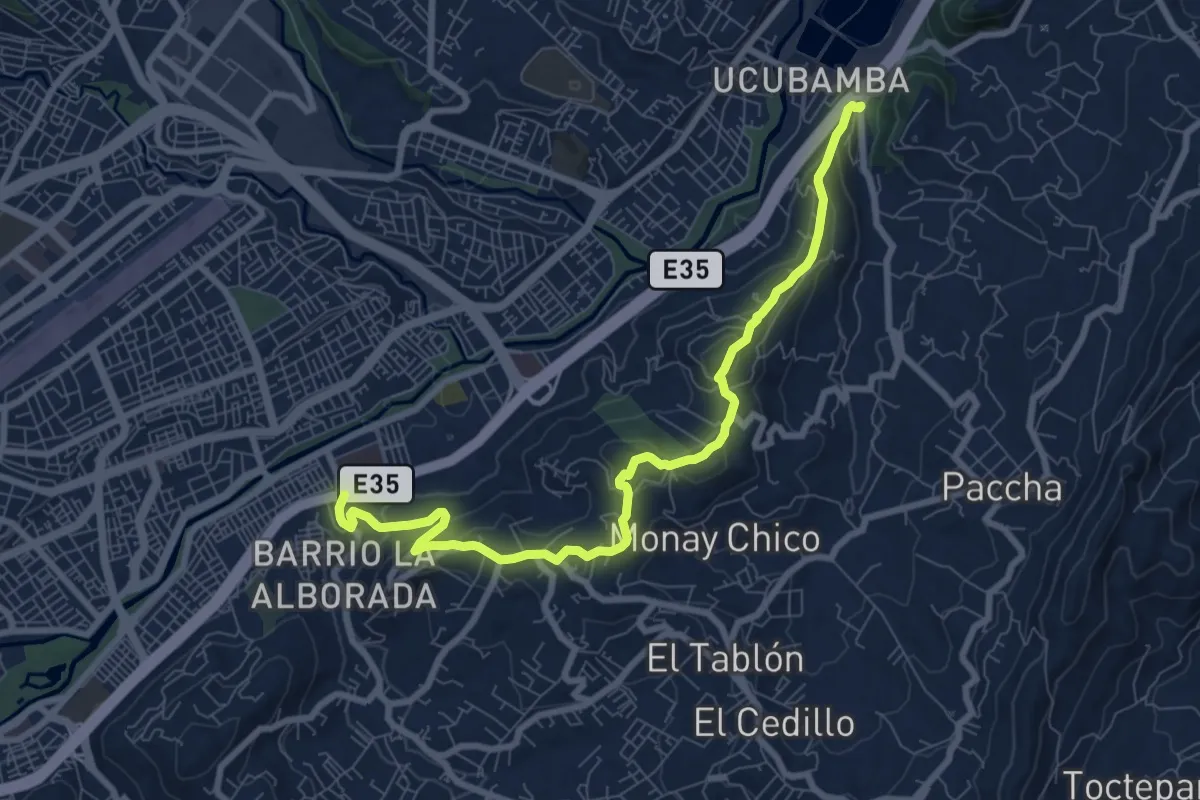
Medium · Trail
CaminANTES Ruta 7: Ucubamba – Cerro Cabullín - Rayoloma
12.7 km · ↑ 575 m · 4 h 15 min
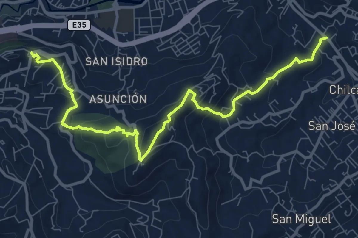
Medium · Trail
CaminANTES Ruta 8: Castilla Cruz - Hitocruz -Turi
12.1 km · ↑ 591 m · 4 h 9 min
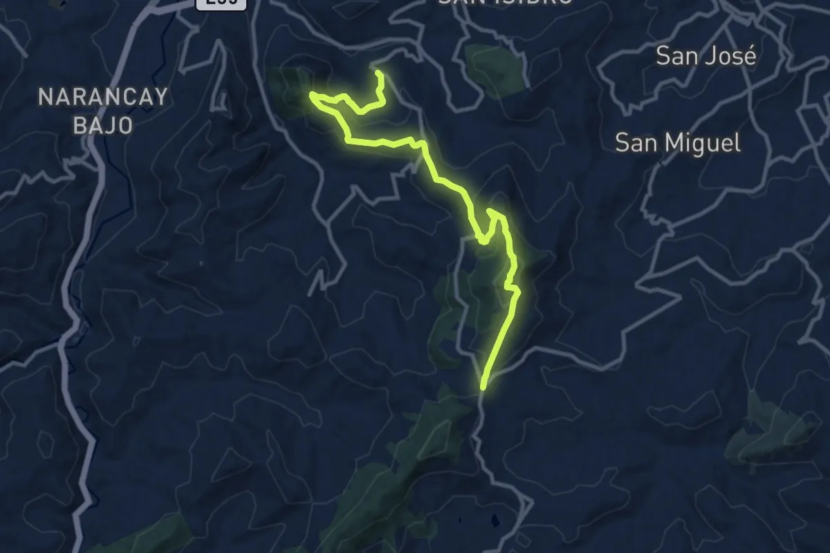
Medium · Trail
CaminANTES Ruta 9: Cerro Verde – Cerro Monjas
15.3 km · ↑ 755 m · 5 h 15 min
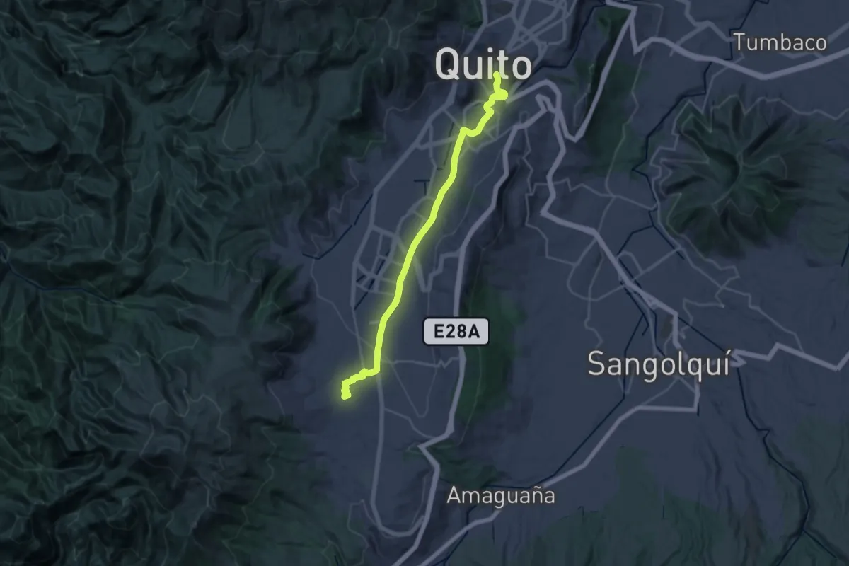
Medium · Trail
Marin - Rocio de Guamani
17.4 km · ↑ 513 m · 5 h 17 min
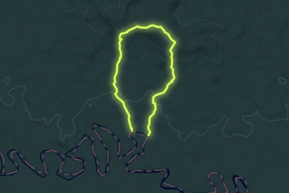
Easy · Trail
Mirador
8.0 km · ↑ 272 m · 2 h 28 min
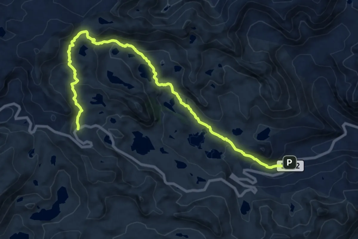
Demanding · Trail
Patul
19.4 km · ↑ 988 m · 6 h 44 min
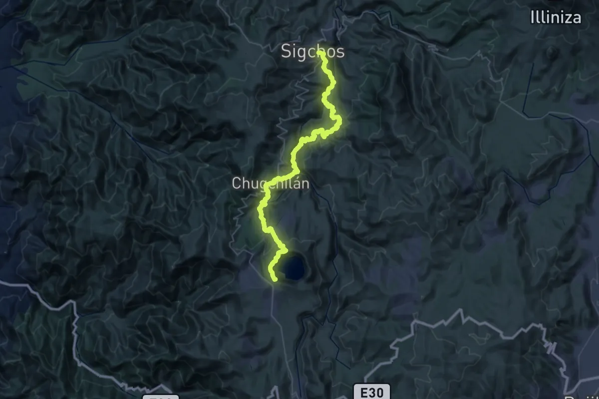
Demanding · Summit
Quilotoa Loop
67.8 km · ↑ 4332 m · 25 h 24 min
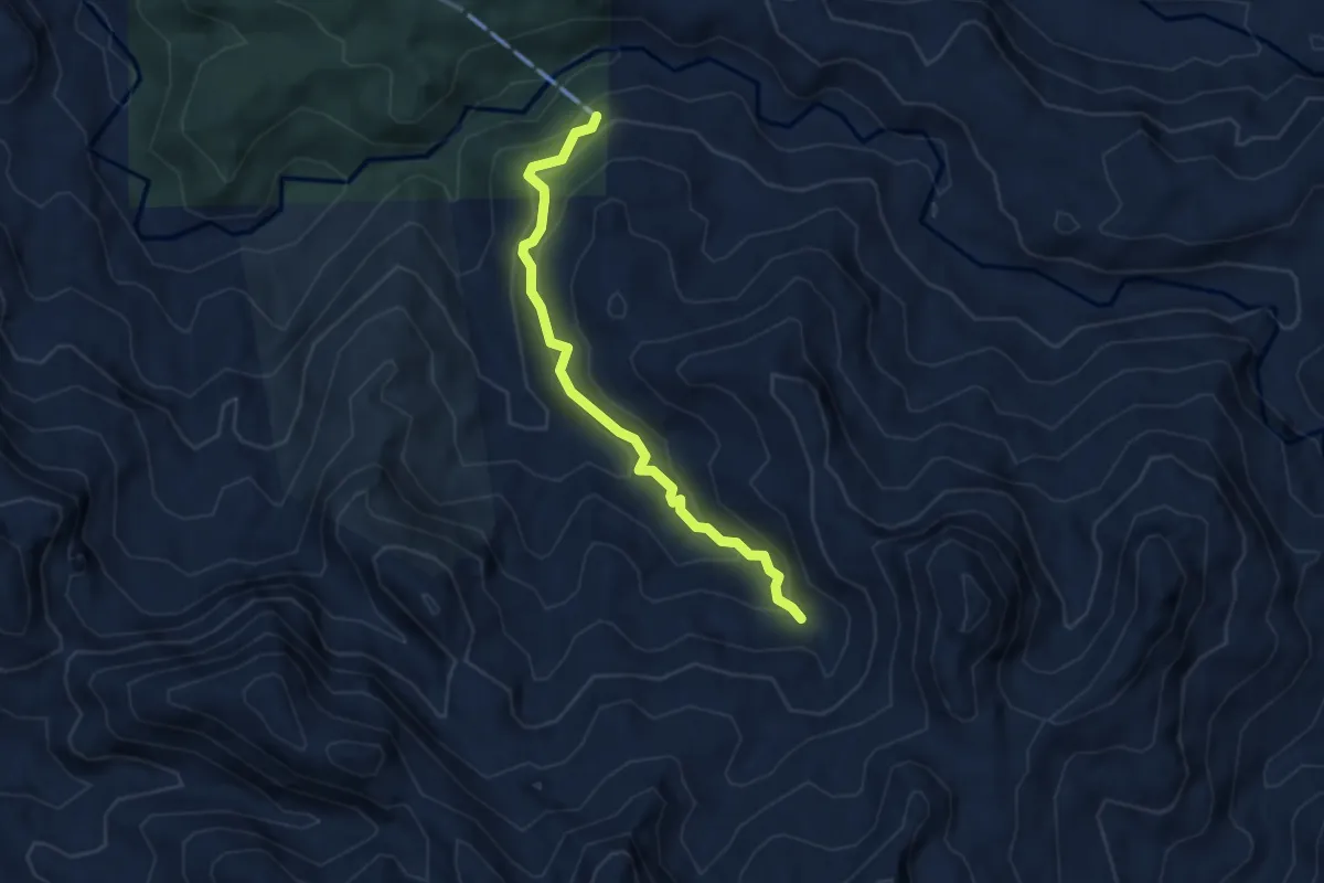
Easy · Trail
Ruta 2
4.7 km · ↑ 320 m · 1 h 48 min
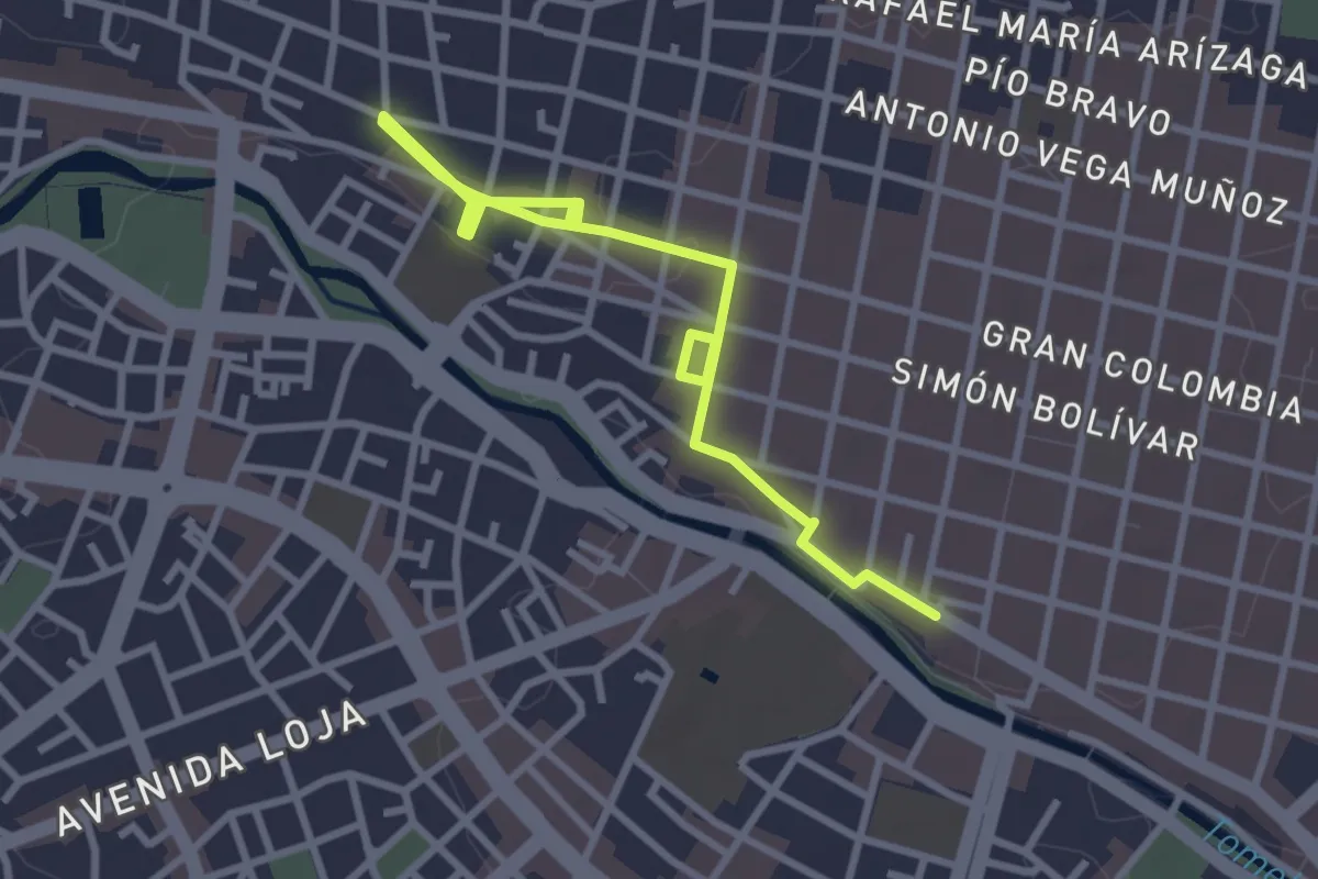
Easy · Trail
Rutas Patrimoniales de Cuenca: R2
5.4 km · ↑ 30 m · 1 h 20 min
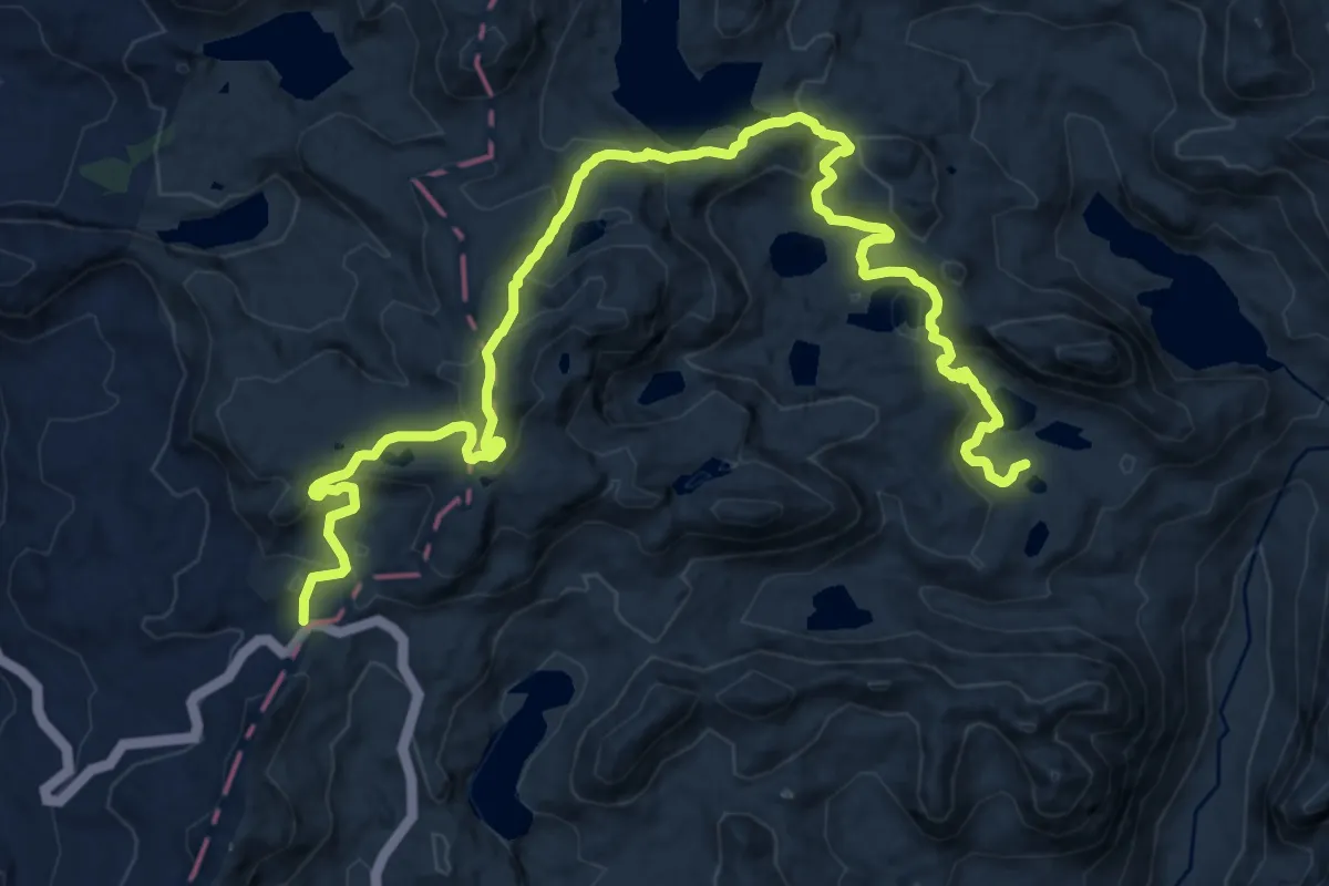
Medium · Trail
Sendero Agua y Vida
12.0 km · ↑ 676 m · 4 h 22 min
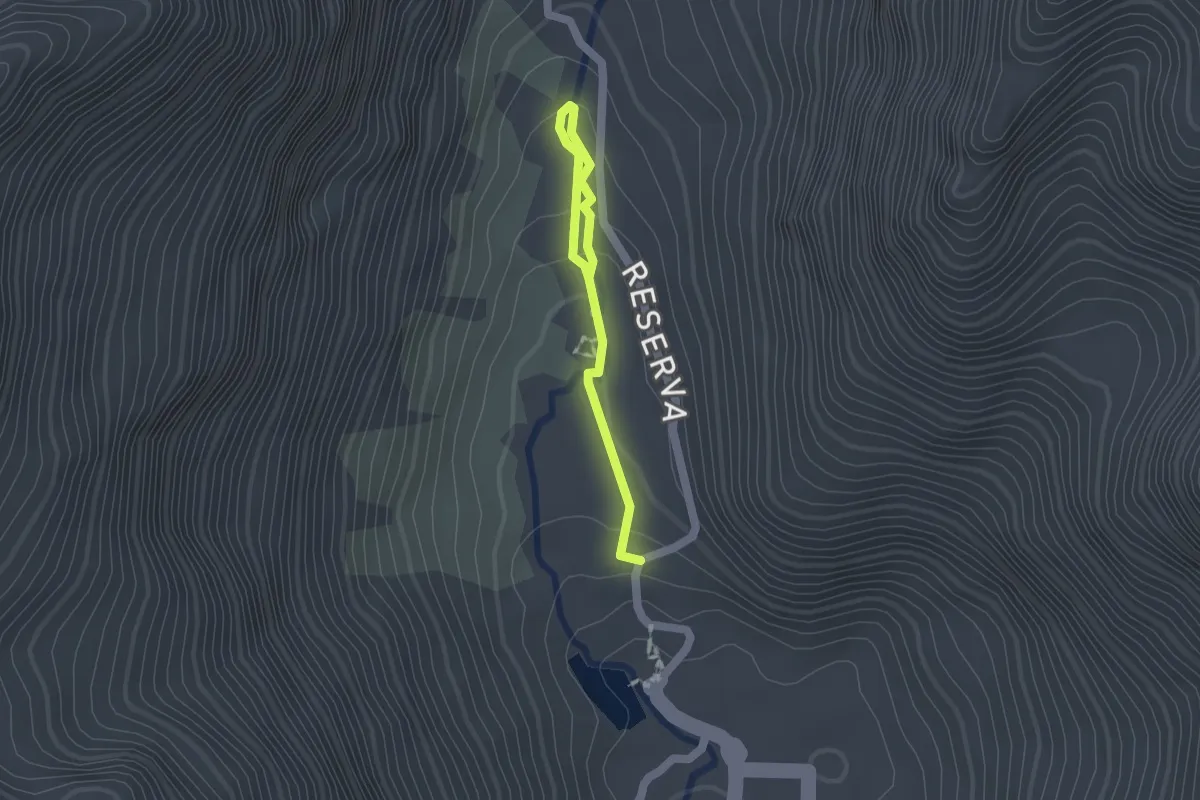
Easy · Trail
Sendero de la Isla
2.2 km · ↑ 72 m · 41 min
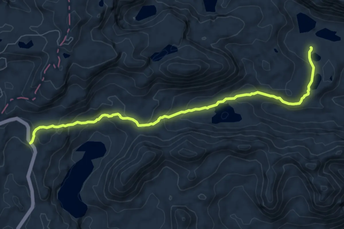
Medium · Trail
Sendero el Oso
11.0 km · ↑ 571 m · 3 h 50 min
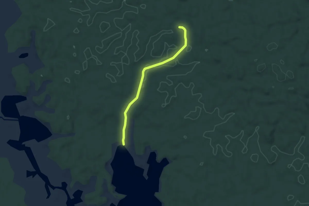
Easy · Trail
Sendero El Saladero
5.6 km · ↑ 110 m · 1 h 34 min
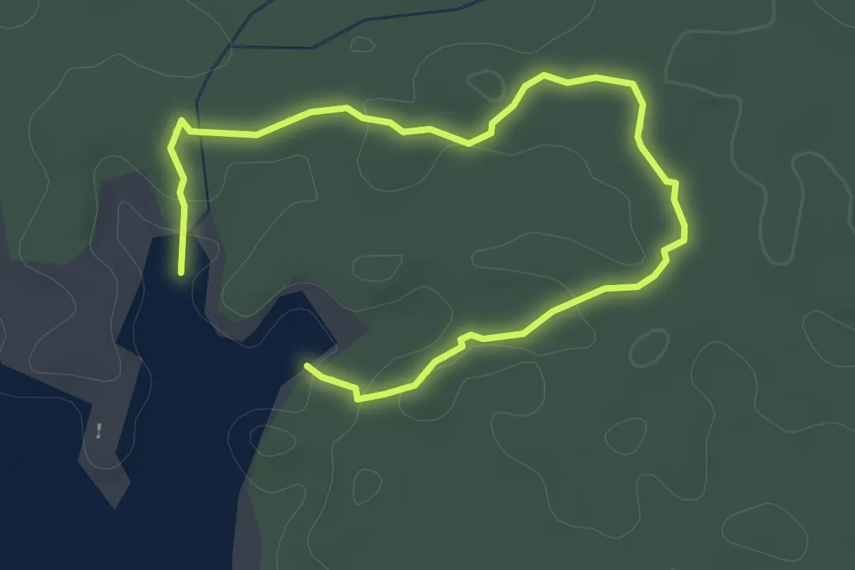
Easy · Trail
Sendero La Catolica
4.9 km · ↑ 97 m · 1 h 22 min
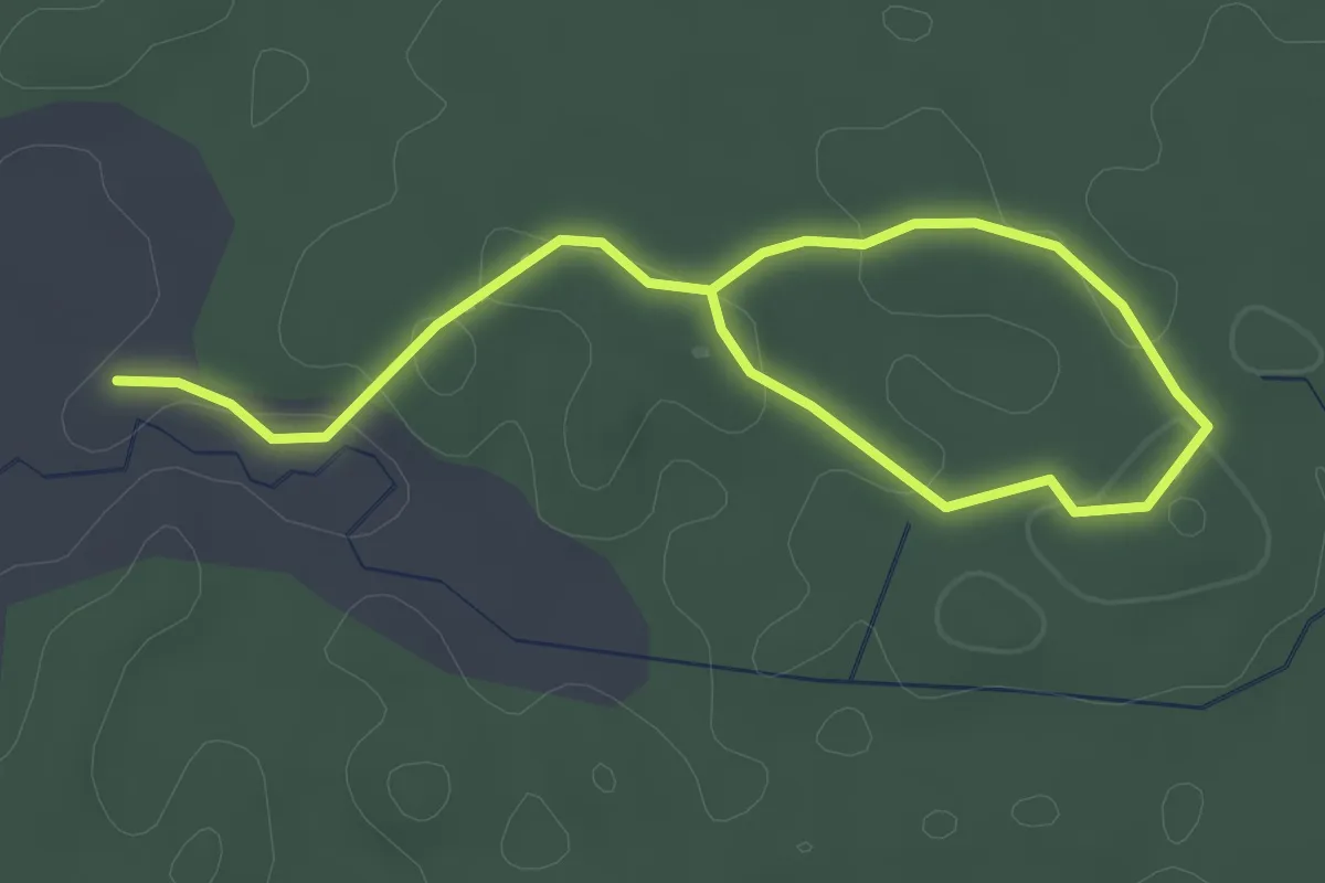
Easy · Trail
Sendero Palma Roja
4.6 km · ↑ 129 m · 1 h 22 min
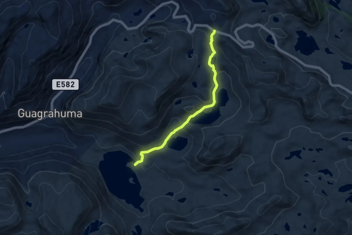
Demanding · Trail
Tres Cruces - Luspa
8.6 km · ↑ 474 m · 3 h 3 min
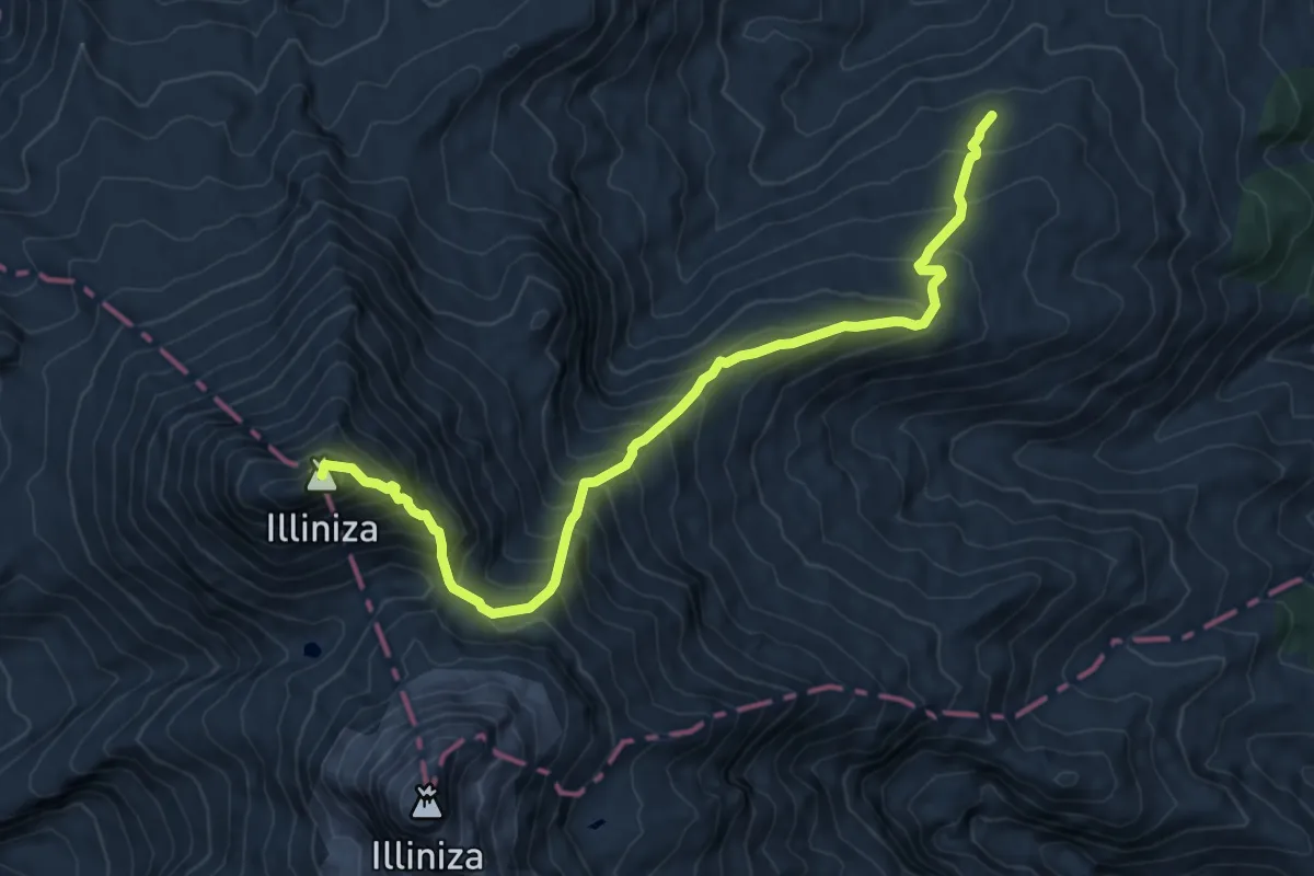
Expert · Summit
Vía normal
10.5 km · ↑ 1039 m · 4 h 43 min
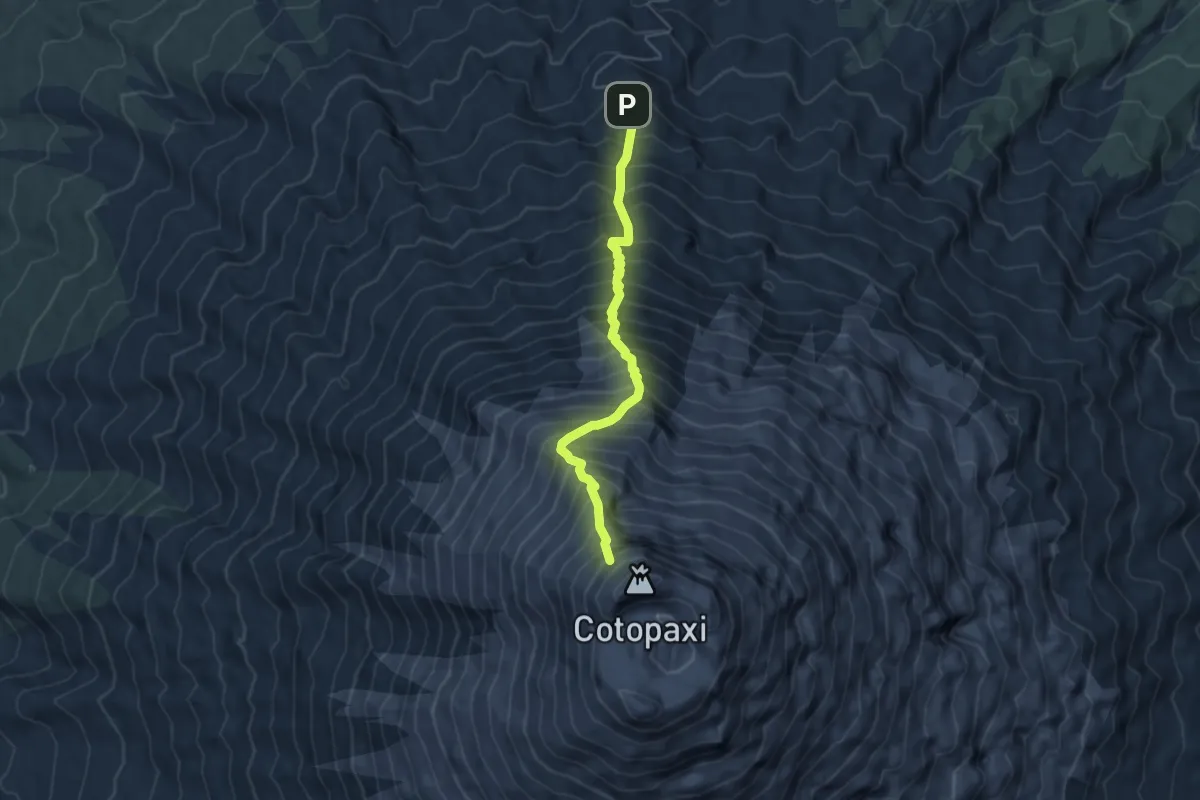
Demanding · Trail
Vía normal
6.3 km · ↑ 1146 m · 3 h 59 min
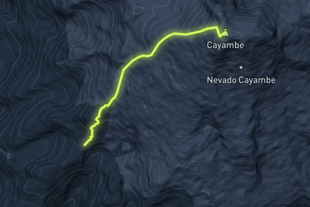
Expert · Summit
Vía normal
7.3 km · ↑ 1211 m · 4 h 20 min
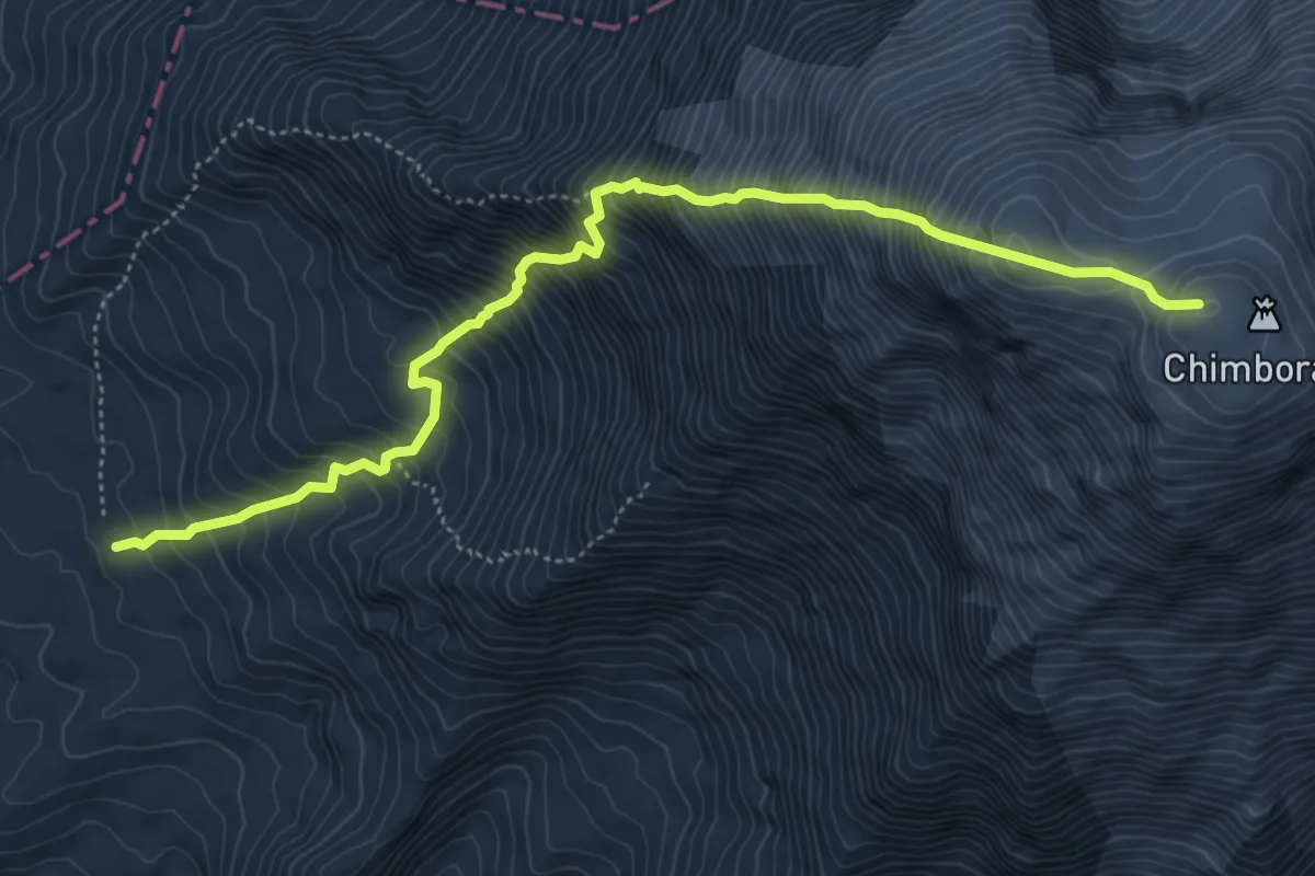
Expert · Cabin
Vía normal (F)
8.3 km · ↑ 1458 m · 5 h 6 min