Trails near Agen
15 hikes starting within 15 km, nearest first.
Nearest first
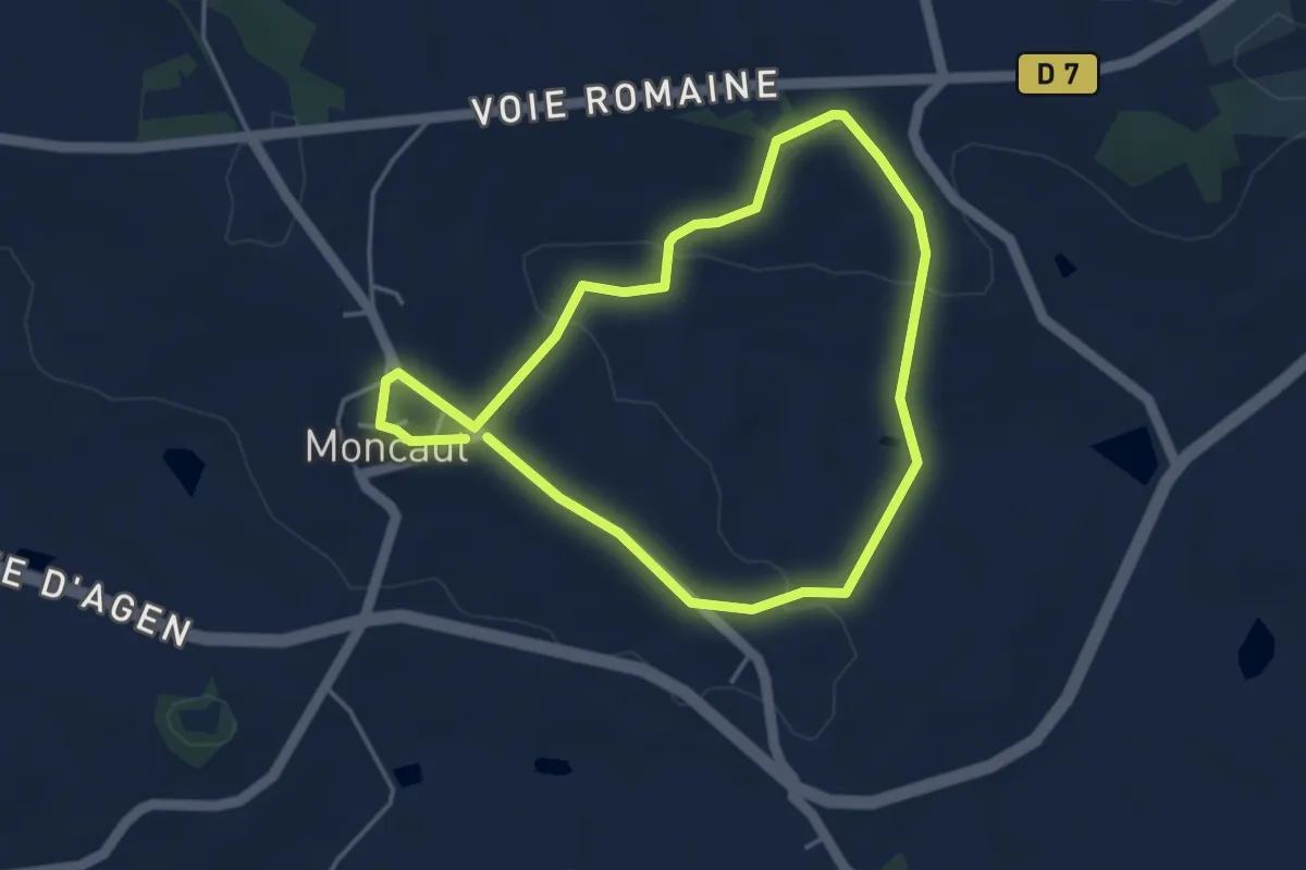
Easy · Trail
Moncaut, balade en Gascogne 4.1 km
4.0 km · ↑ 114 m · 1 h 15 min · 11 km away
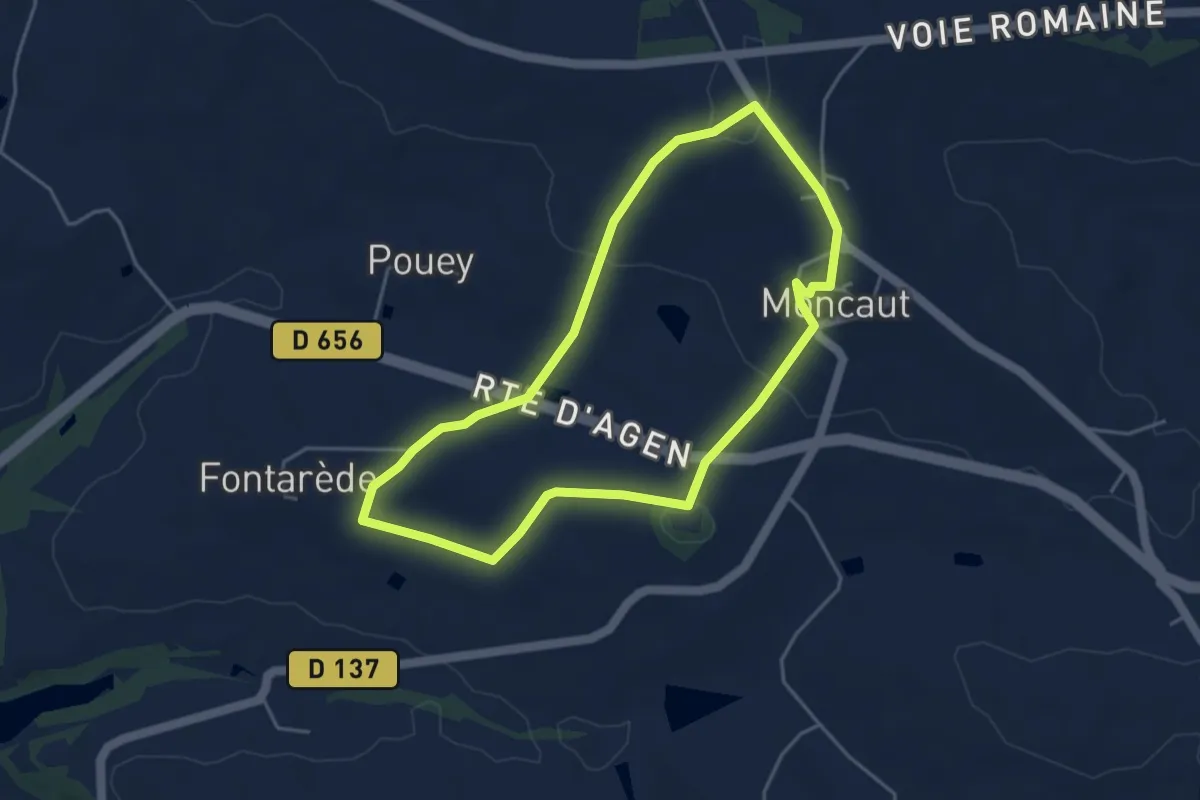
Easy · Trail
Moncaut, balade sur le mont chauve 4.3 km
4.3 km · ↑ 96 m · 1 h 17 min · 11 km away
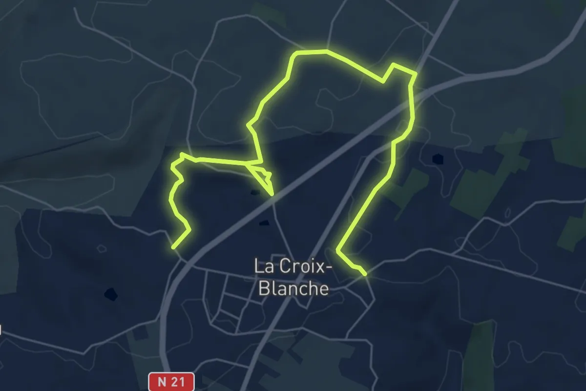
Easy · Trail
La Croix-Blanche, la balade de Bézille - 4,9km
4.0 km · ↑ 76 m · 1 h 10 min · 12 km away
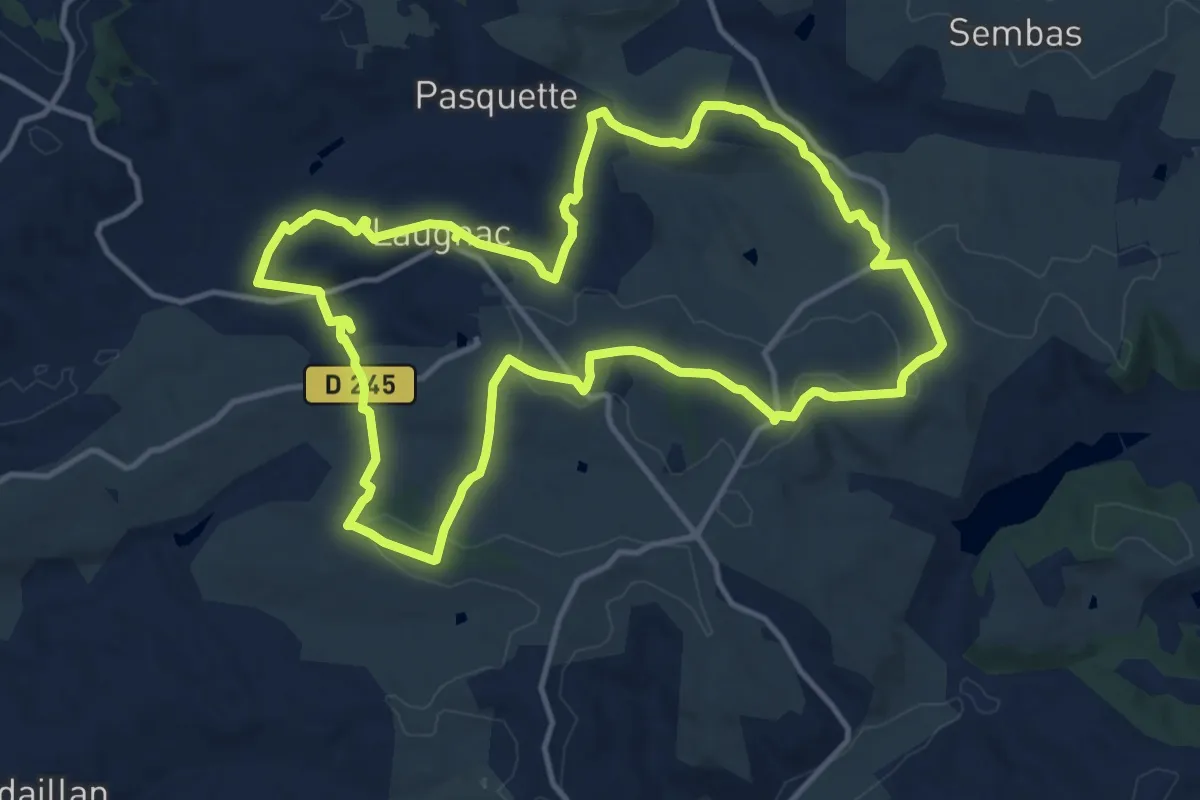
Medium · Trail
Laugnac, un sentier nature dans les Serres
14.2 km · ↑ 319 m · 4 h 14 min · 12 km away
Easy · Trail
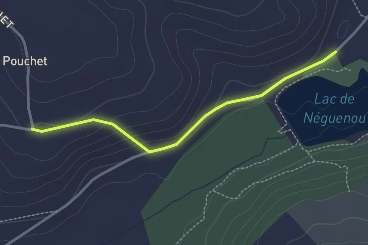
Prayssas, tourisme au pays du chasselas - 9km
1.2 km · ↑ 0 m · 19 min · 12 km away
Easy · Trail
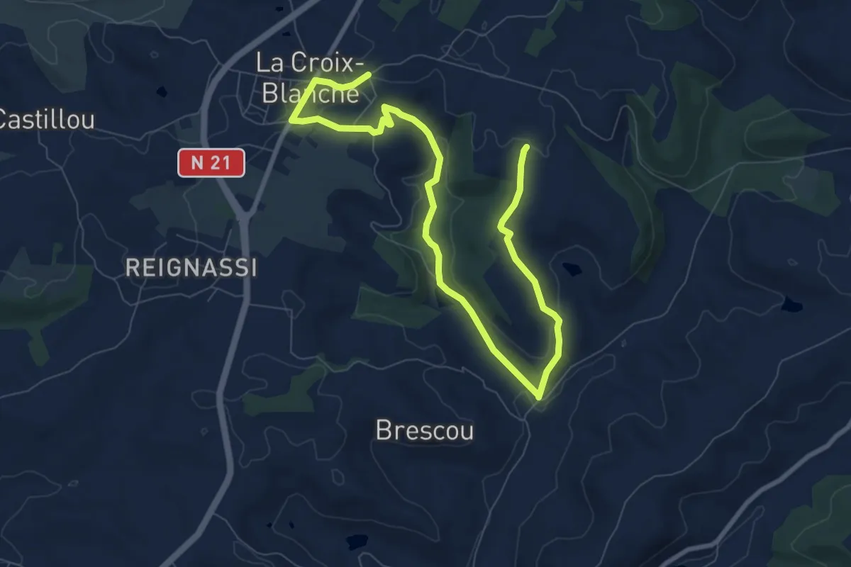
La Croix-Blanche, la balade du Bernou - 9,3km
5.6 km · ↑ 108 m · 1 h 38 min · 12 km away
Easy · Trail
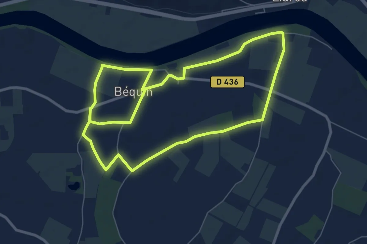
Sur les terres de Montesquieu, entre Garonne et vergers - 6 km
6.6 km · ↑ 9 m · 1 h 40 min · 13 km away
Medium · Trail
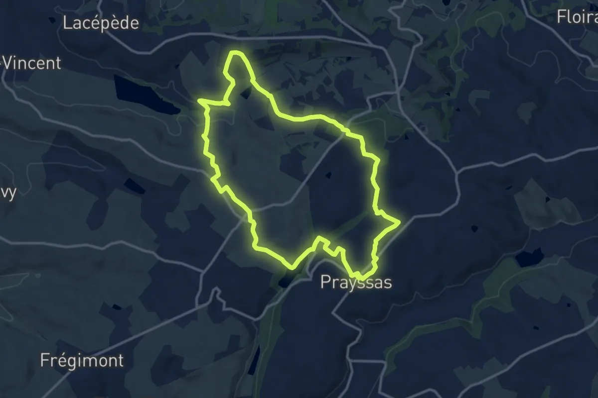
Prayssas / Quittimont, circuit panoramique dans le Pays de serres
11.9 km · ↑ 274 m · 3 h 34 min · 13 km away
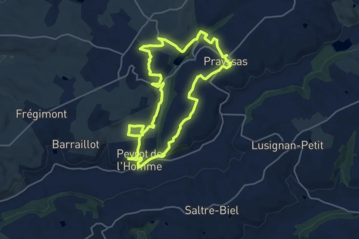
Medium · Trail
Prayssas, le circuit des pigeonniers
12.3 km · ↑ 287 m · 3 h 42 min · 13 km away
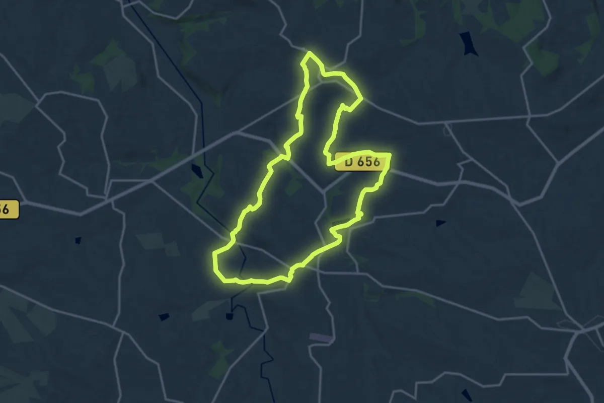
Medium · Trail
Le Saumont vers Montagnac, par les Grand et Petit Auvignon 15.1 km
14.8 km · ↑ 291 m · 4 h 19 min · 13 km away
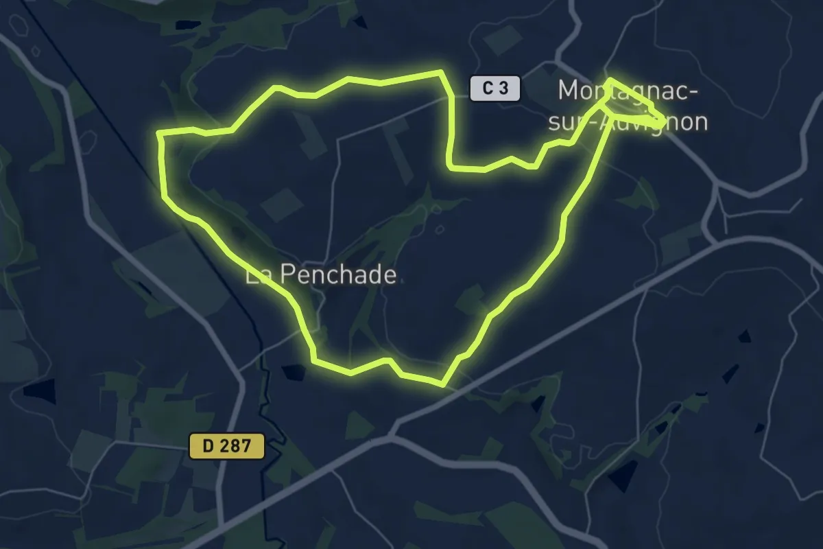
Easy · Trail
Montagnac, petite montagne d'Albret 7.4 km
7.7 km · ↑ 183 m · 2 h 19 min · 13 km away
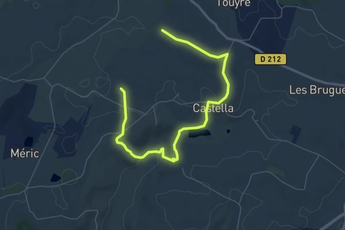
Easy · Trail
Castella, la promenade de Mondou - 4,9km
3.8 km · ↑ 85 m · 1 h 8 min · 14 km away
Easy · Trail
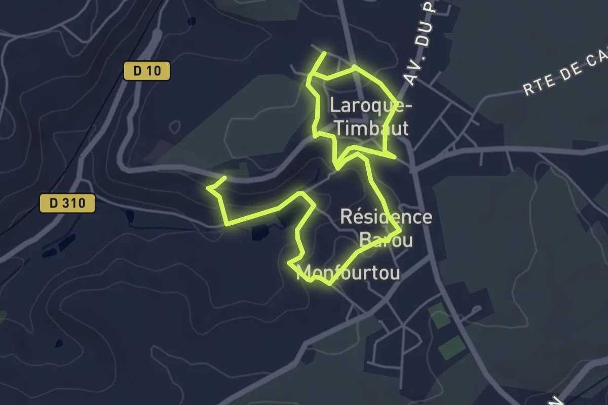
Laroque-Timbaut, sur les pas de Roland - 5km
3.8 km · ↑ 91 m · 1 h 8 min · 14 km away
Easy · Trail
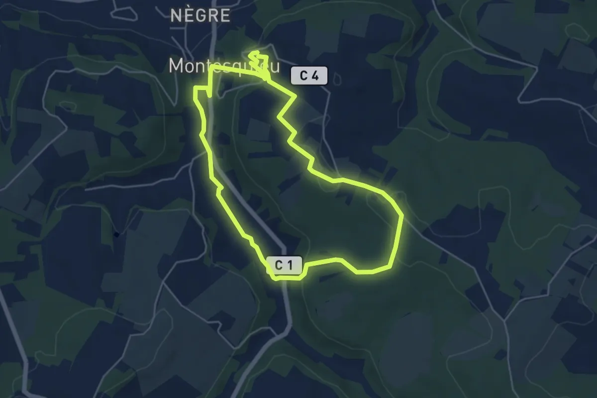
Montesquieu, la randonnée du pont de Ninon - 4.8 km
4.7 km · ↑ 102 m · 1 h 23 min · 14 km away
Medium · Trail
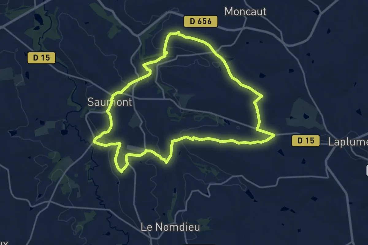
Le Saumont, randonnée autour du mont boisé 14.2 km
14.2 km · ↑ 277 m · 4 h 9 min · 14 km away