Trails near Aix-en-Provence
28 hikes starting within 15 km, nearest first.
Nearest first
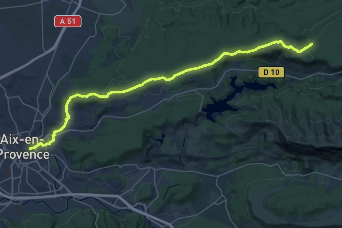
Demanding · Trail
Aix-en-Provence – Vauvenargues
27.5 km · ↑ 504 m · 7 h 36 min · under 1 km away
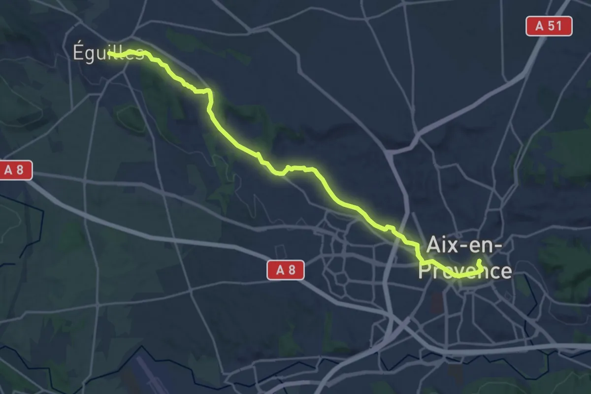
Demanding · Trail
Éguilles – Aix-en-Provence
21.6 km · ↑ 267 m · 5 h 40 min · under 1 km away
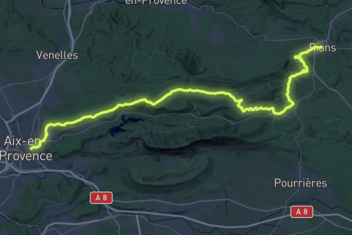
Demanding · Trail
Chemin pastoral de Aix-en-Provence à Rians
37.6 km · ↑ 842 m · 11 h 8 min · under 1 km away
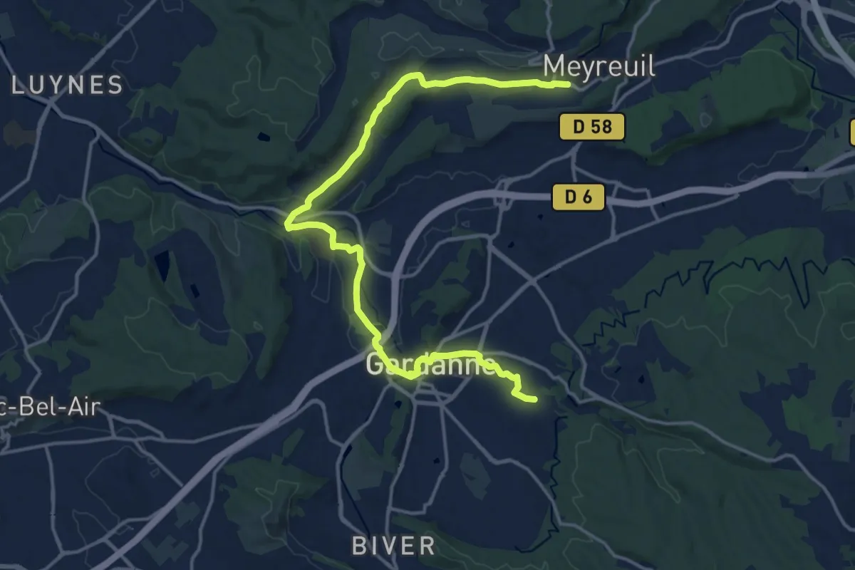
Demanding · Trail
De Meyreuil à Gardanne
18.7 km · ↑ 193 m · 4 h 49 min · 6 km away
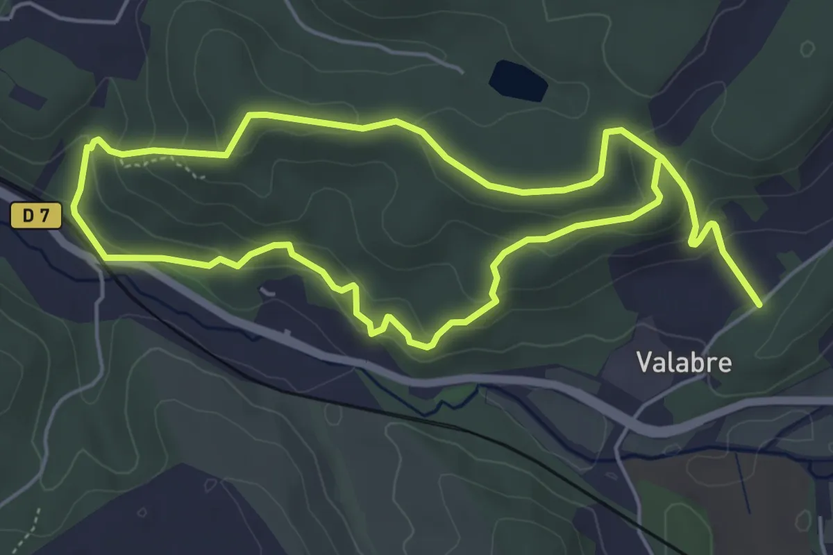
Easy · Trail
Ecomusée de la Forêt – Ecomusée de la Forêt
5.5 km · ↑ 215 m · 1 h 51 min · 6 km away
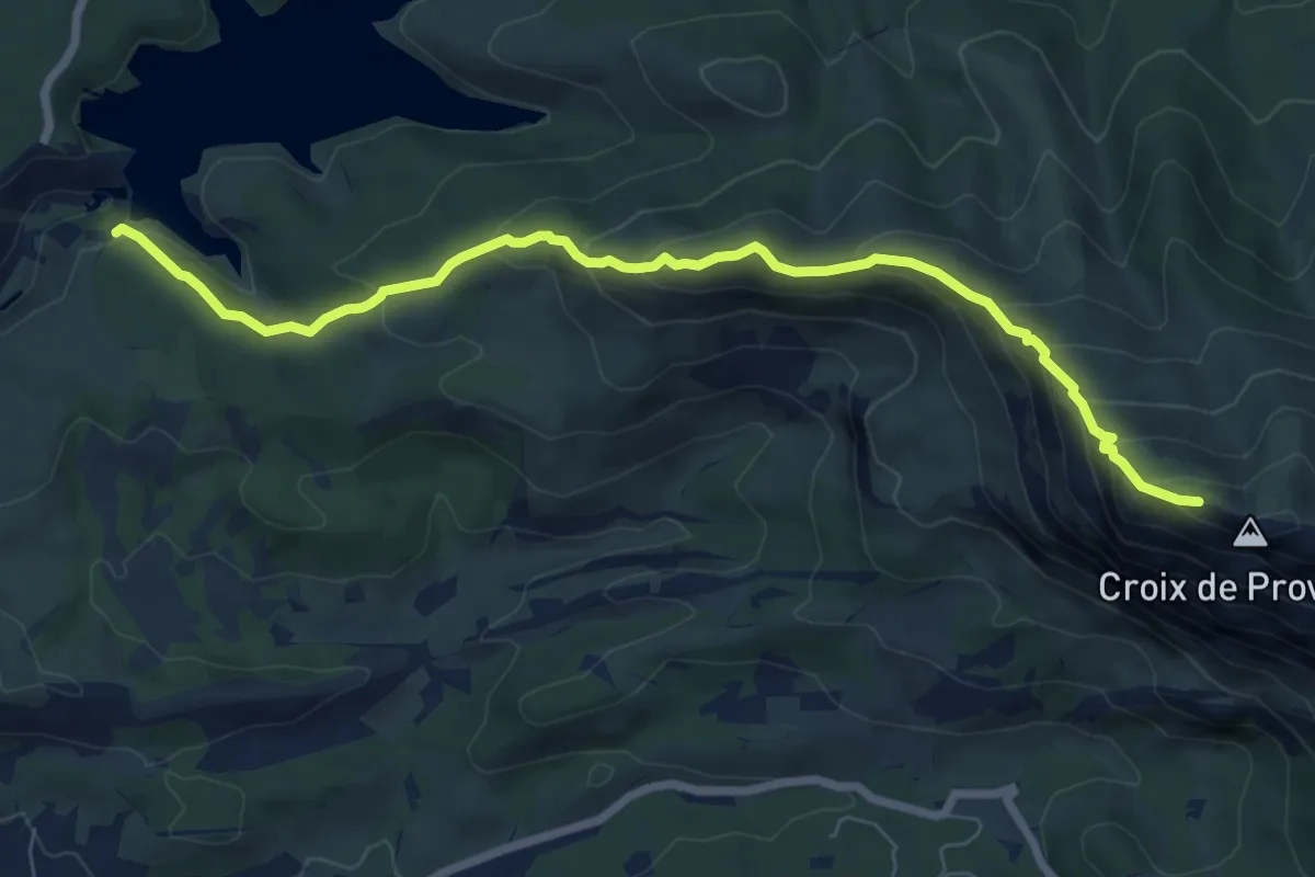
Medium · Cabin
Sentier Imoucha
8.3 km · ↑ 573 m · 3 h 12 min · 7 km away
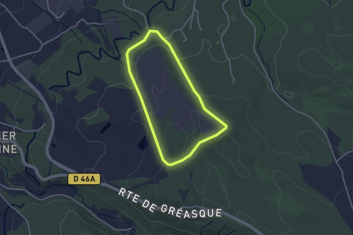
Easy · Trail
Chemin des énergies
2.5 km · ↑ 60 m · 46 min · 9 km away
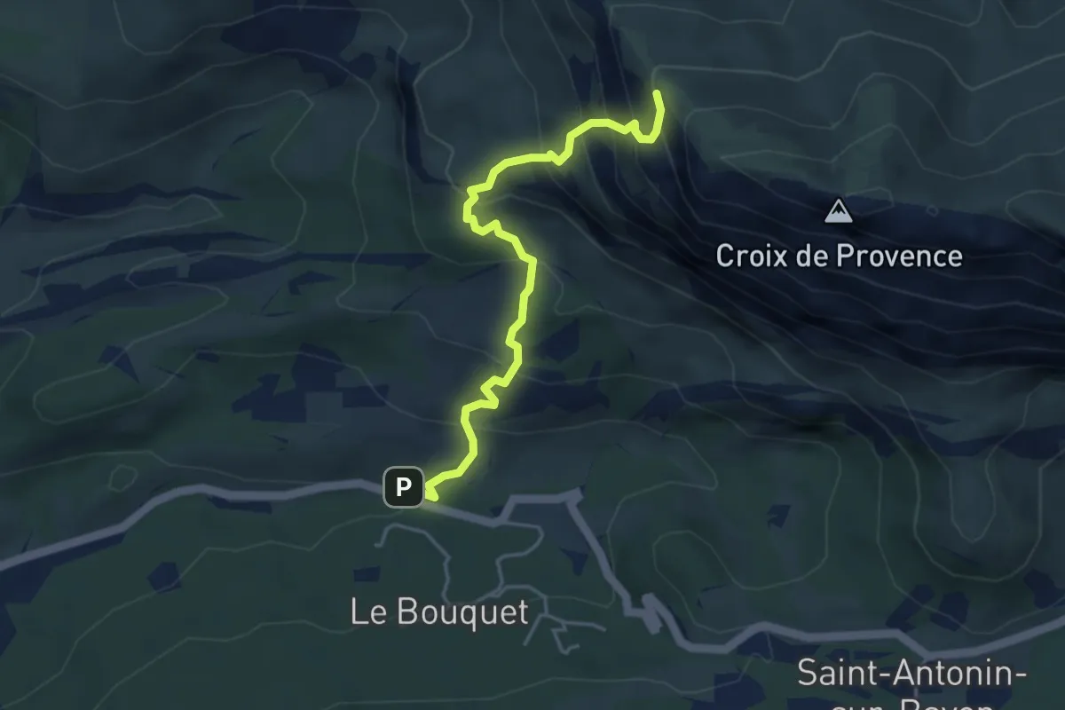
Expert · Trail
Sentier du pas du moine
4.4 km · ↑ 441 m · 2 h · 9 km away
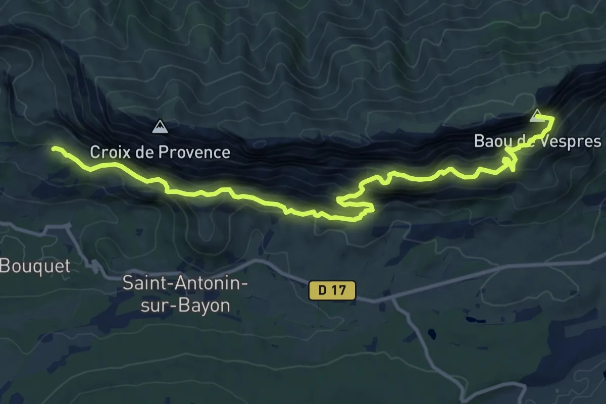
Demanding · Summit
(Sentier marron)
12.0 km · ↑ 978 m · 4 h 58 min · 10 km away
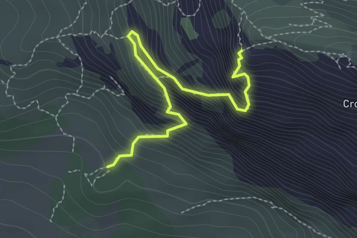
Expert · Cabin
Sentier du pas de la Savonette
2.6 km · ↑ 451 m · 1 h 35 min · 10 km away
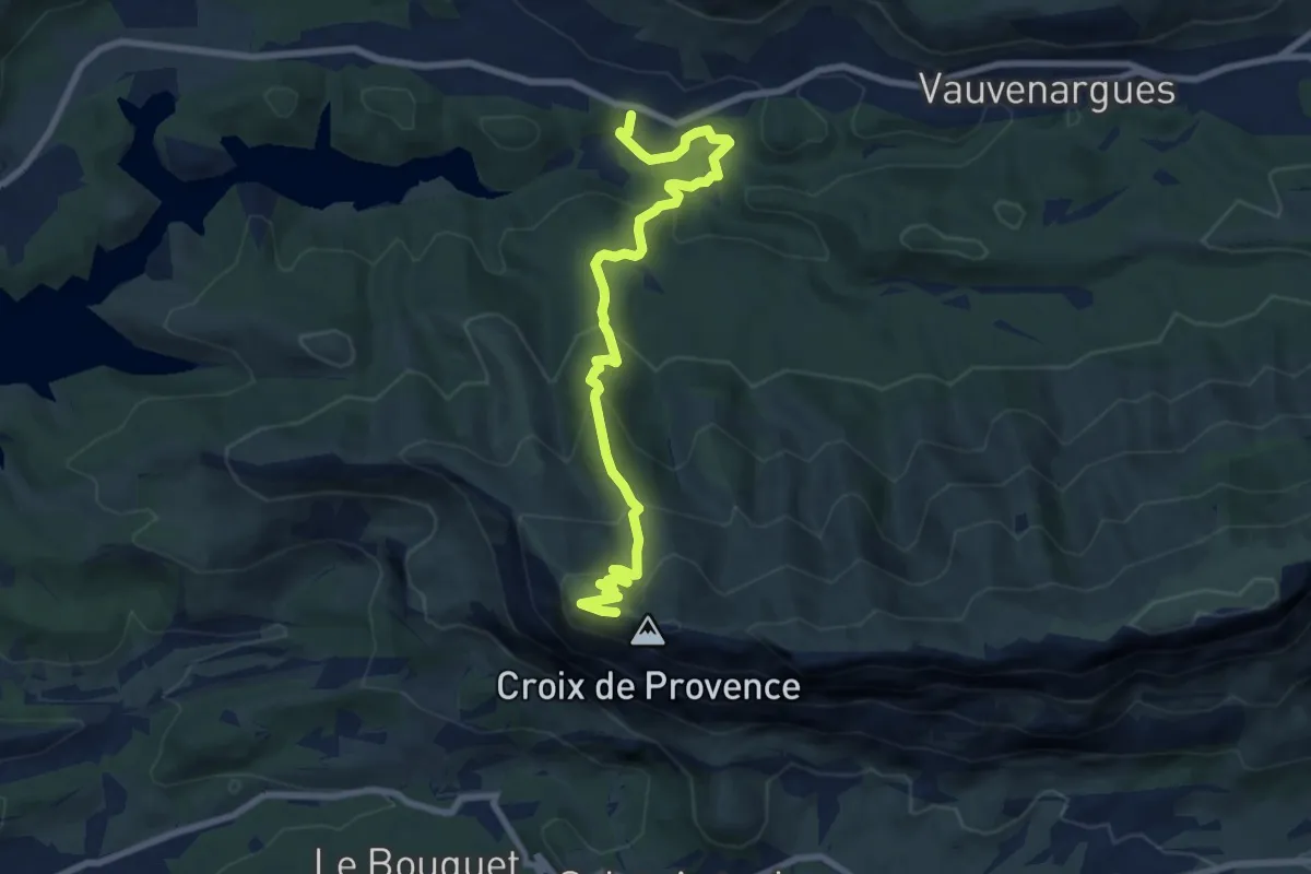
Medium · Cabin
Chemin des Venturiers
9.5 km · ↑ 576 m · 3 h 29 min · 11 km away
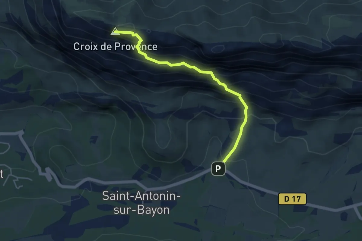
Expert · Summit
Sentier des deux aiguilles
4.0 km · ↑ 533 m · 2 h 5 min · 12 km away
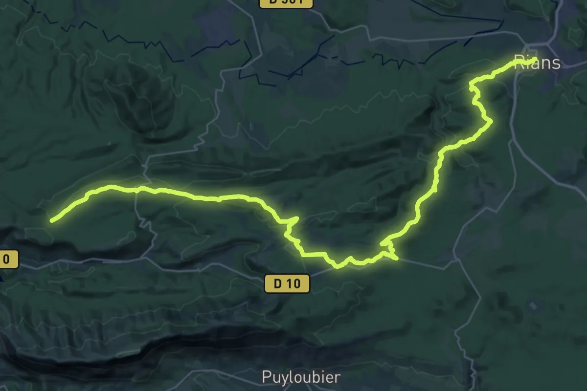
Demanding · Trail
Vauvenargues – Rians
22.3 km · ↑ 353 m · 6 h 26 min · 12 km away
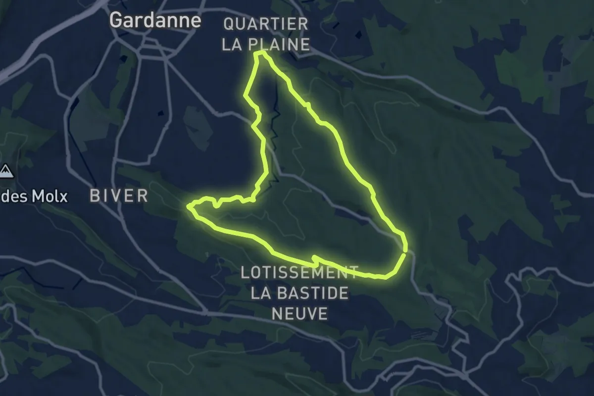
Medium · Trail
Circuit des Crêtes
9.2 km · ↑ 165 m · 2 h 40 min · 12 km away
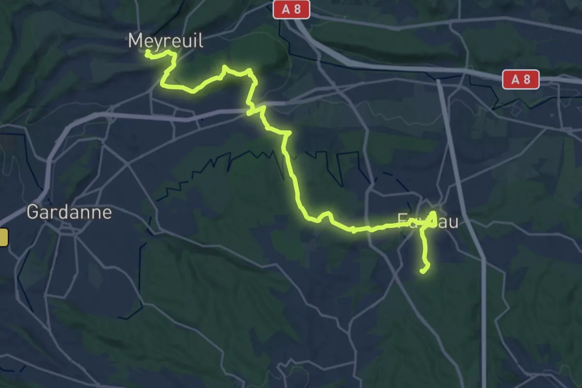
Demanding · Trail
Du poteau ET 36 à Meyreuil
25.1 km · ↑ 504 m · 7 h 1 min · 13 km away
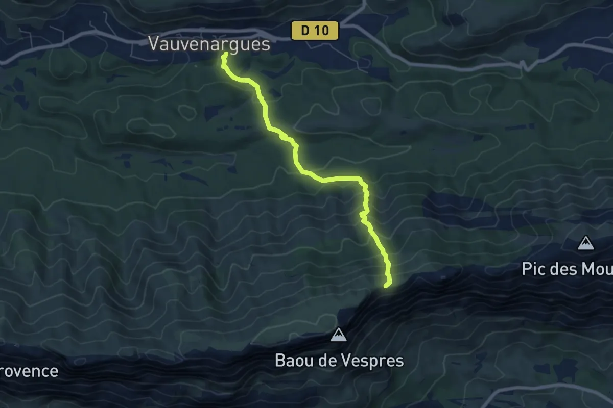
Medium · Trail
Sentier des Plaideurs
6.3 km · ↑ 580 m · 2 h 45 min · 13 km away
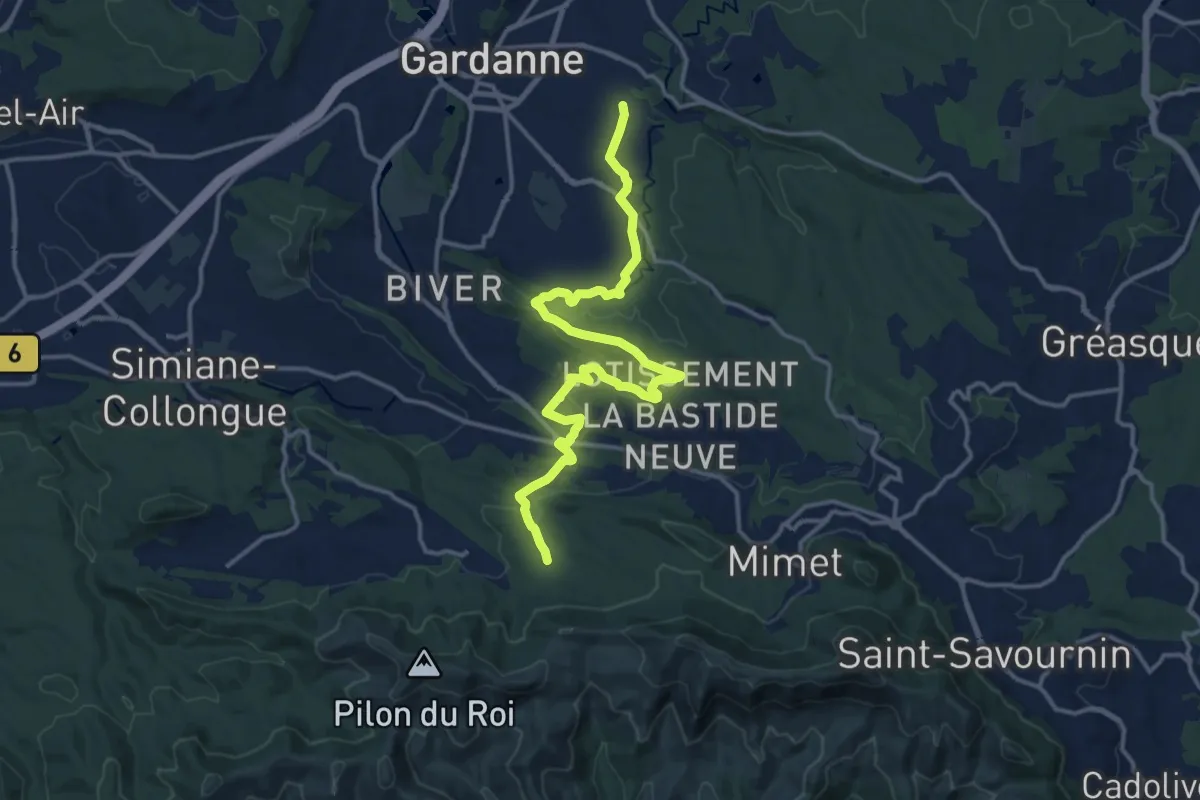
Medium · Trail
De Gardanne aux Marres
17.1 km · ↑ 302 m · 4 h 42 min · 13 km away
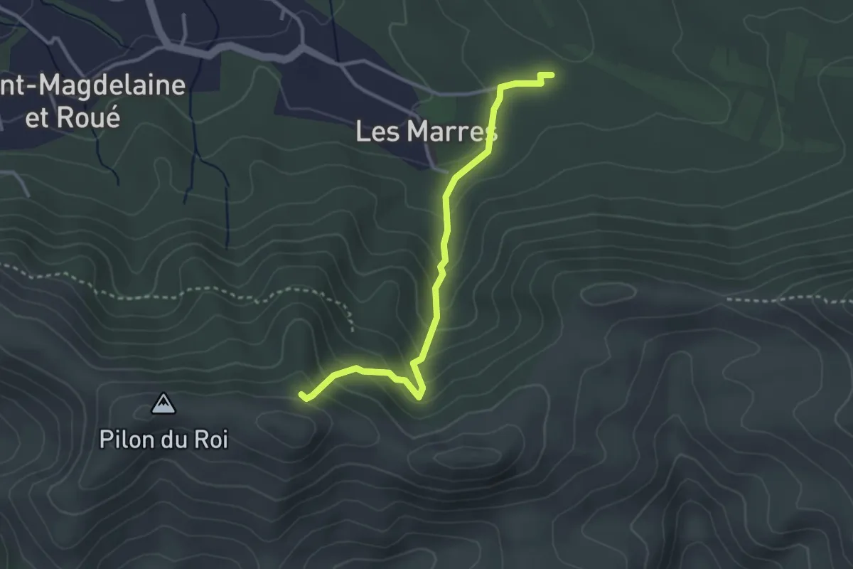
Easy · Trail
ETx2 - Les Marres
3.2 km · ↑ 249 m · 1 h 18 min · 13 km away
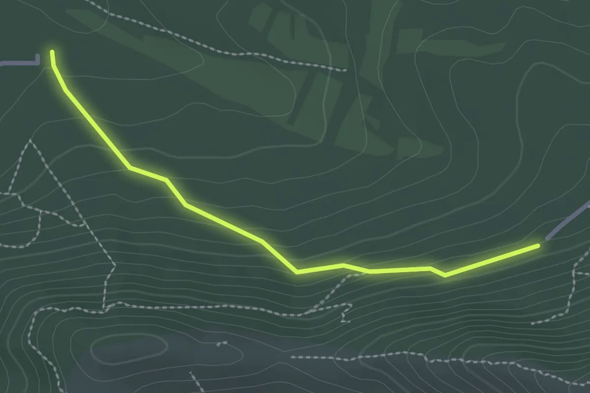
Easy · Trail
Du Parking du col Sainte-Anne aux Marres
2.5 km · ↑ 124 m · 52 min · 13 km away
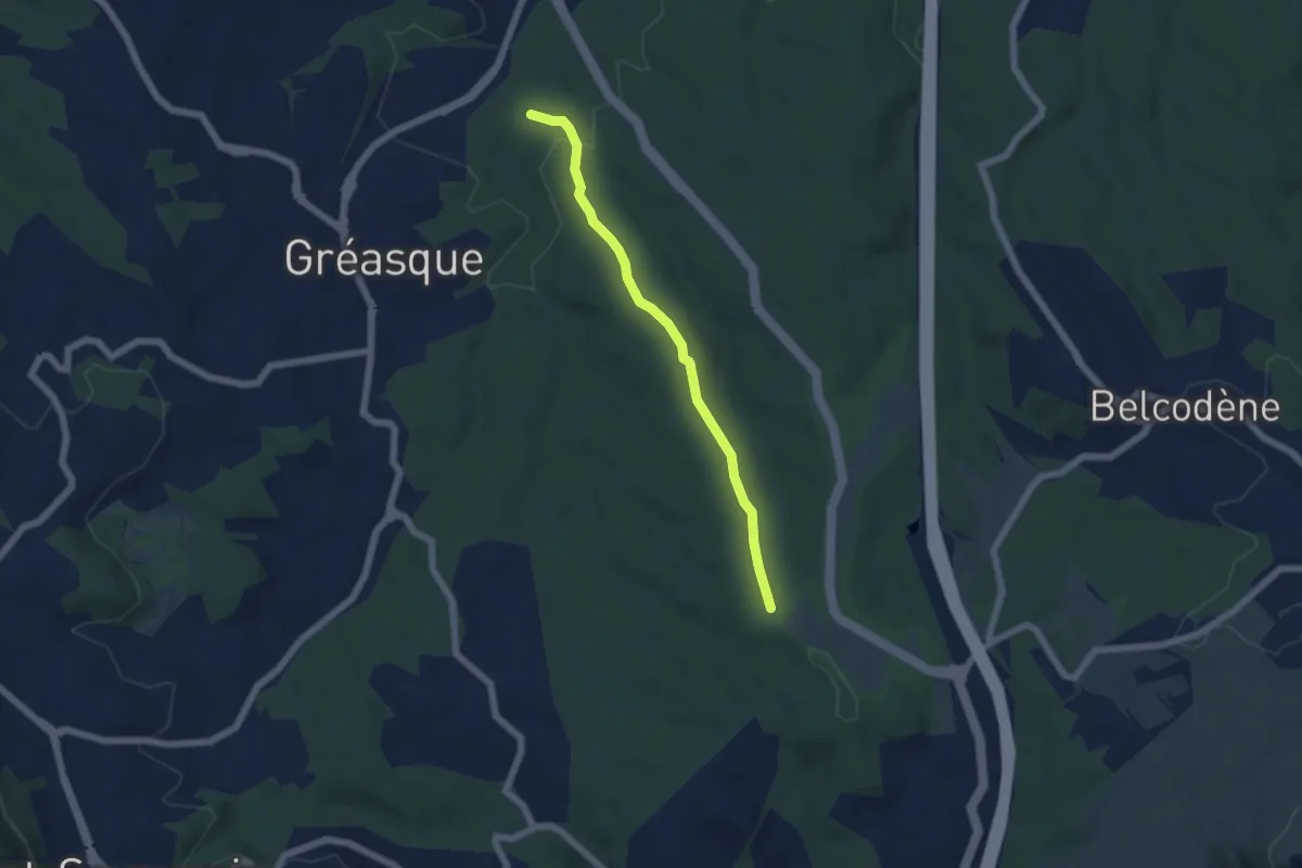
Easy · Trail
Du poteau ET 32 au poteau ET 33
5.4 km · ↑ 117 m · 1 h 32 min · 13 km away
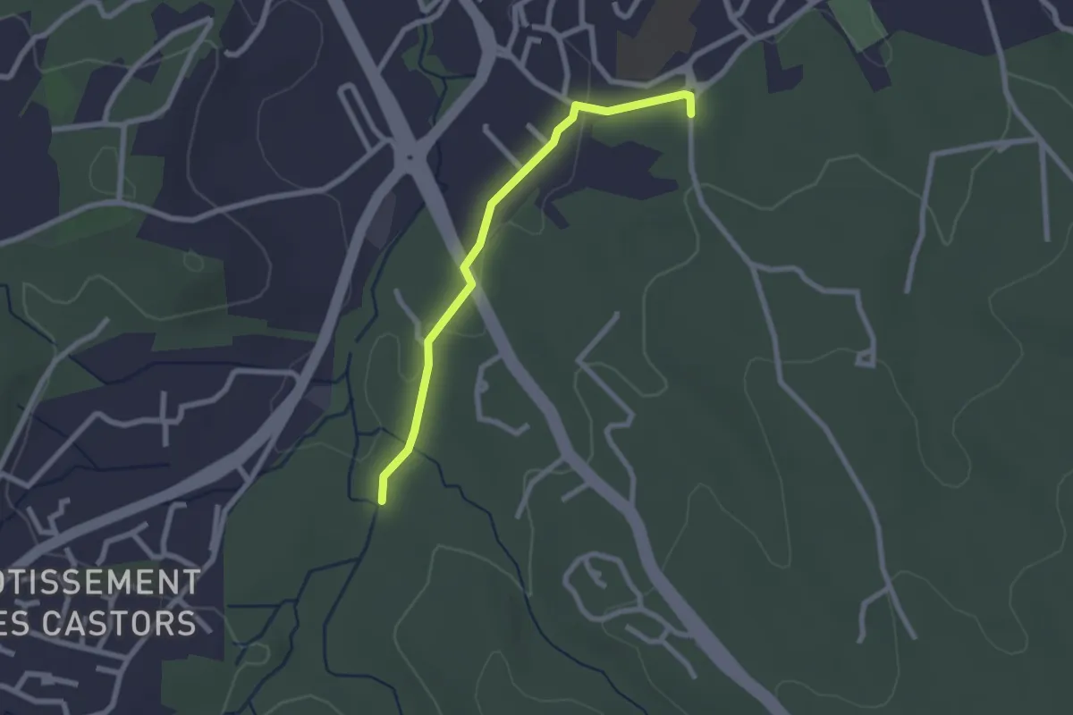
Easy · Trail
Du poteau ET 32 au poteau ET-36
2.3 km · ↑ 27 m · 36 min · 13 km away
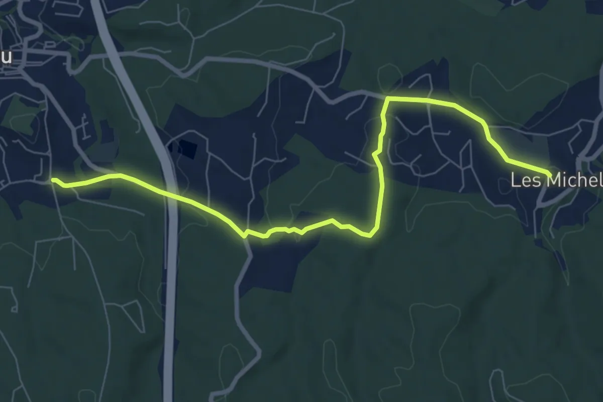
Medium · Trail
Des Michels au poteau ET 37
8.0 km · ↑ 135 m · 2 h 11 min · 13 km away
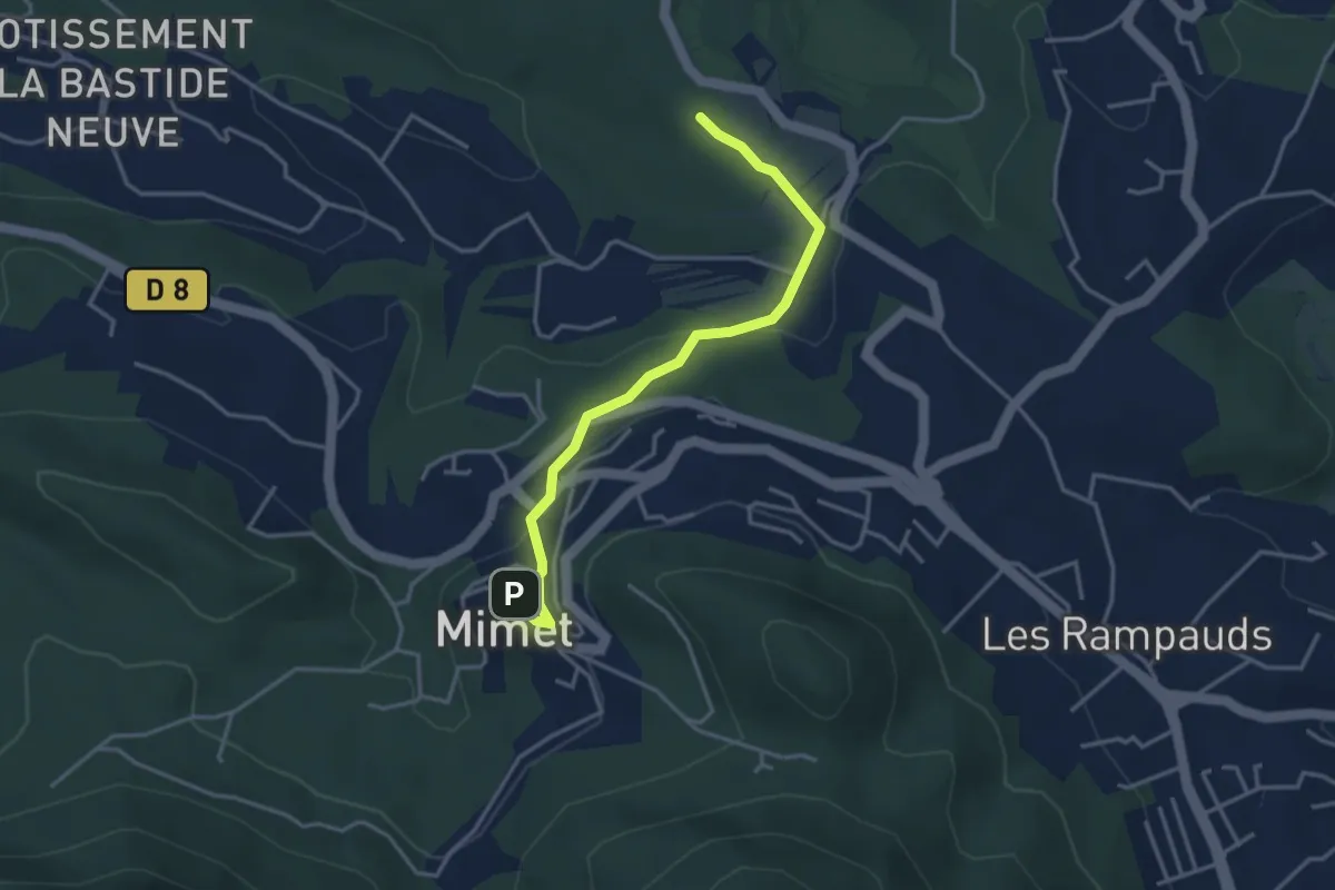
Easy · Trail
De Mimet au poteau ET 39
3.8 km · ↑ 133 m · 1 h 11 min · 14 km away
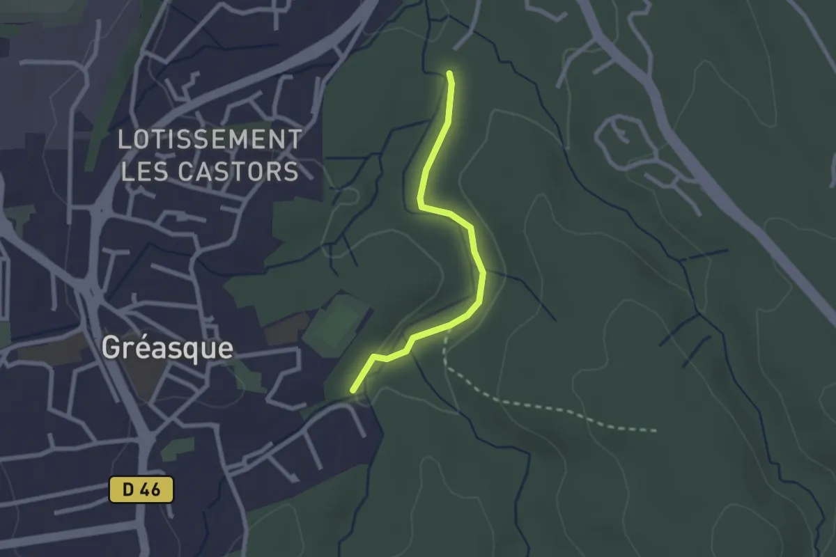
Easy · Trail
Du poteau ET 31 au poteau ET 32
2.1 km · ↑ 22 m · 33 min · 14 km away
Easy · Trail
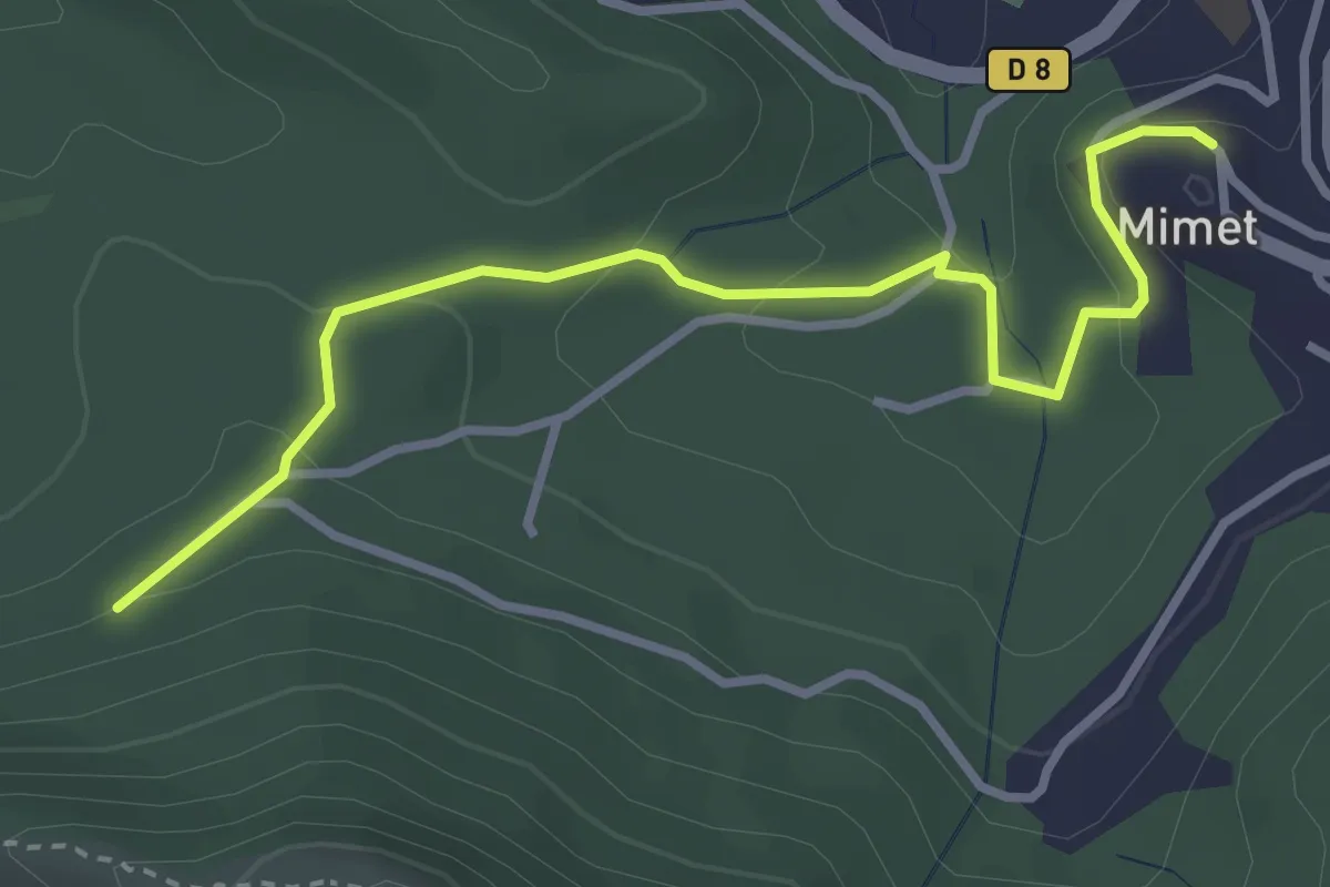
Du parking du Col Saint-Anne à Mimet
3.6 km · ↑ 146 m · 1 h 10 min · 14 km away
Easy · Trail
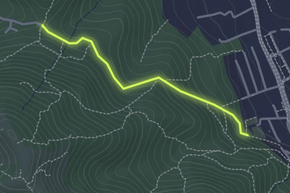
Du Poteau ET 07 au poteau ET 08
2.2 km · ↑ 130 m · 48 min · 14 km away
Easy · Trail
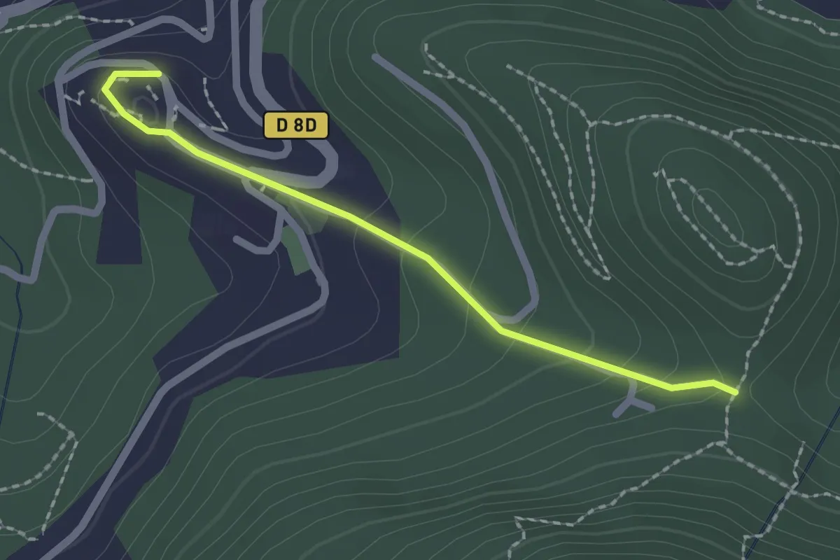
Du poteau ET 08 à Mimet
2.0 km · ↑ 102 m · 42 min · 14 km away
Medium · Cabin
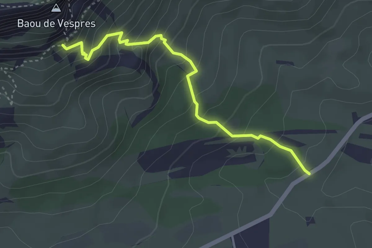
Sentier Baudino
3.6 km · ↑ 394 m · 1 h 42 min · 15 km away