Trails near Albertville
30 hikes starting within 15 km, nearest first.
Nearest first
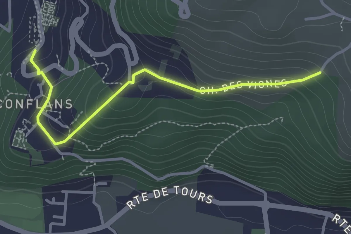
Easy · Trail
Chemin de la Poterne des Vignes
2.8 km · ↑ 142 m · 58 min · under 1 km away
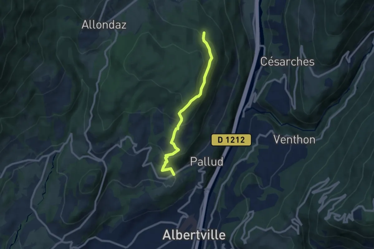
Medium · Trail
Les Côteaux du Tal
6.2 km · ↑ 396 m · 2 h 19 min · 1 km away
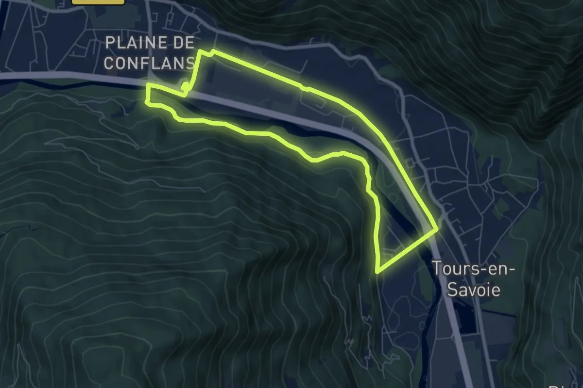
Easy · Trail
L'échappée Verte
6.9 km · ↑ 78 m · 1 h 54 min · 2 km away
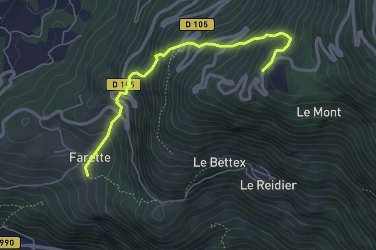
Medium · Trail
À l'assaut du Fort du Mont
4.7 km · ↑ 560 m · 2 h 19 min · 3 km away
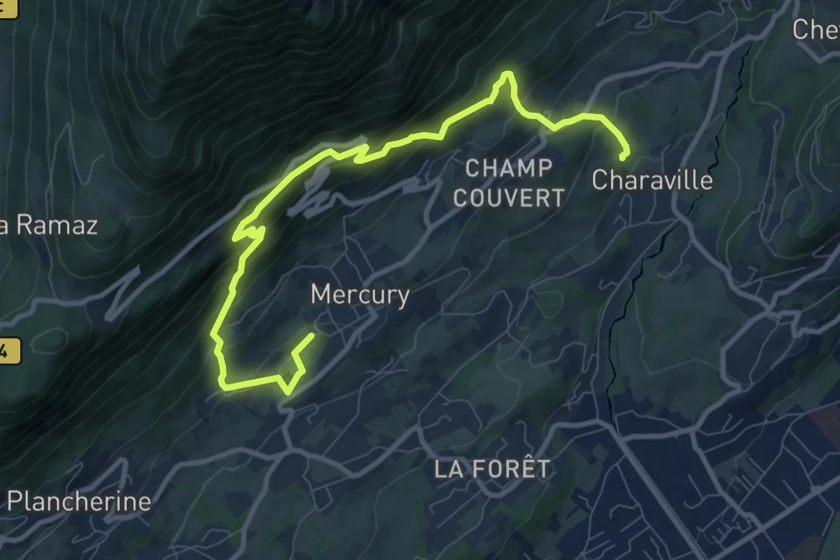
Medium · Trail
À la découverte de Mercury
10.0 km · ↑ 792 m · 4 h 5 min · 3 km away
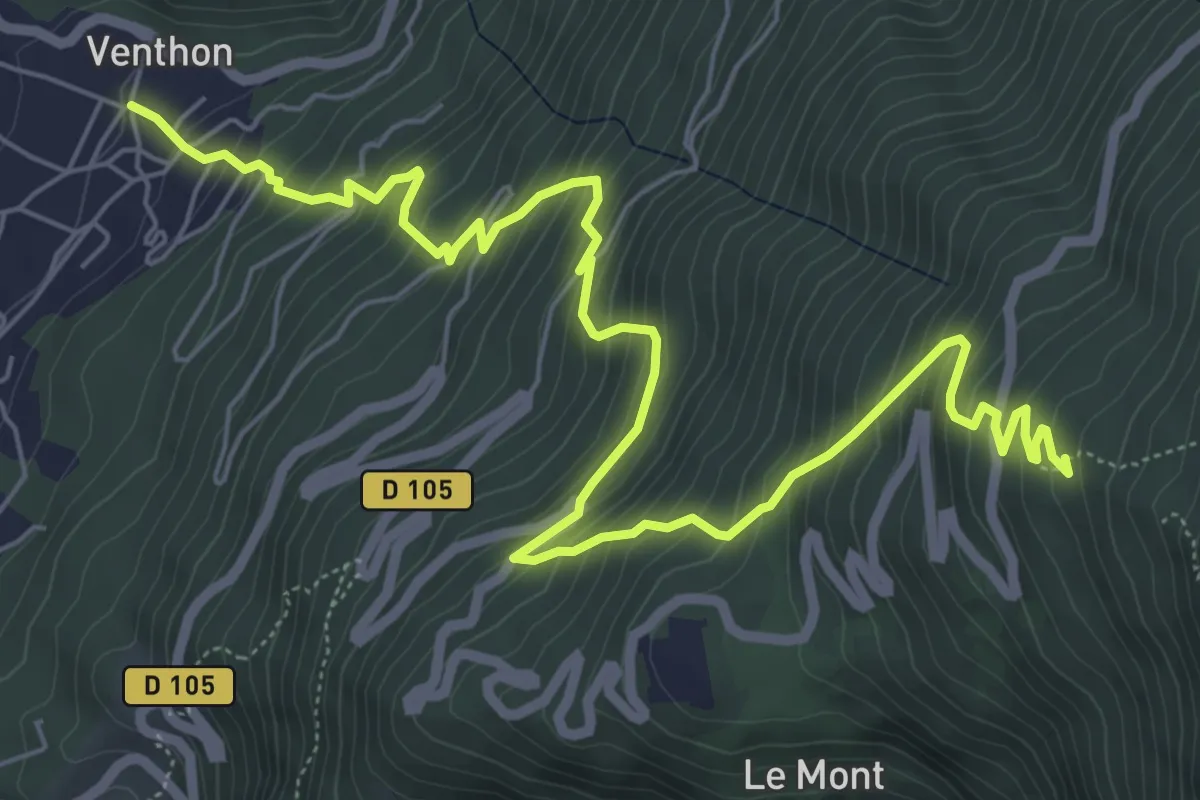
Demanding · Trail
Blockhaus du Laitelet
8.8 km · ↑ 905 m · 4 h 3 min · 4 km away
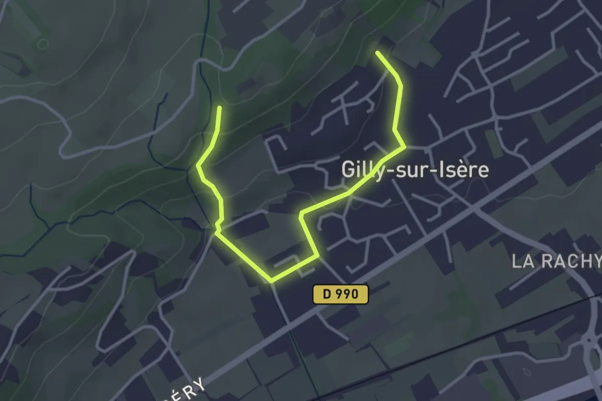
Easy · Trail
Villa Gallo Romaine
3.5 km · ↑ 113 m · 1 h 5 min · 4 km away
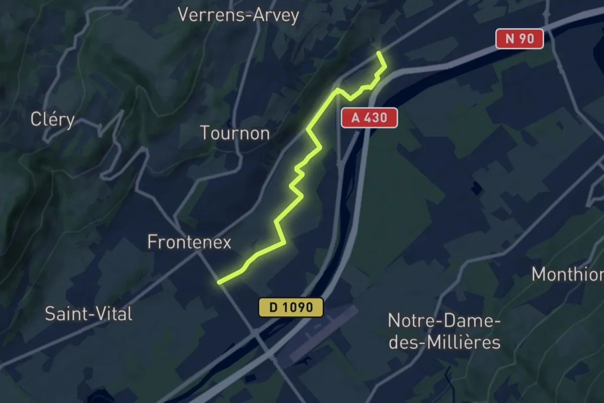
Easy · Trail
La Tourmotte
7.0 km · ↑ 23 m · 1 h 42 min · 5 km away
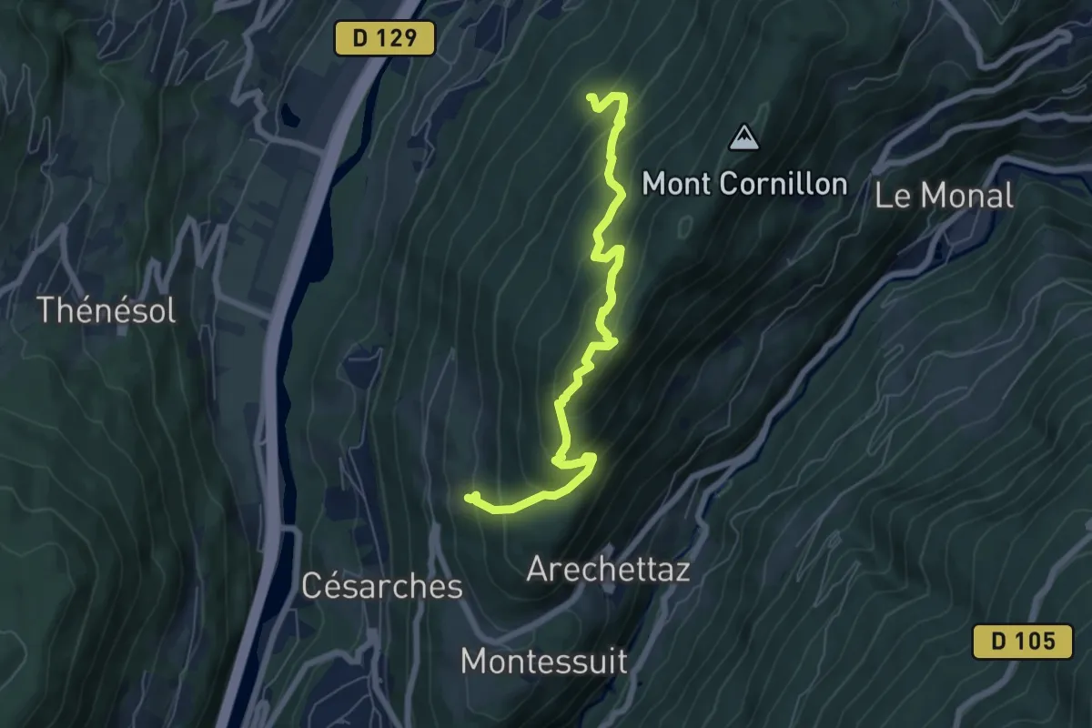
Medium · Trail
Château de Cornillon
6.6 km · ↑ 576 m · 2 h 48 min · 6 km away
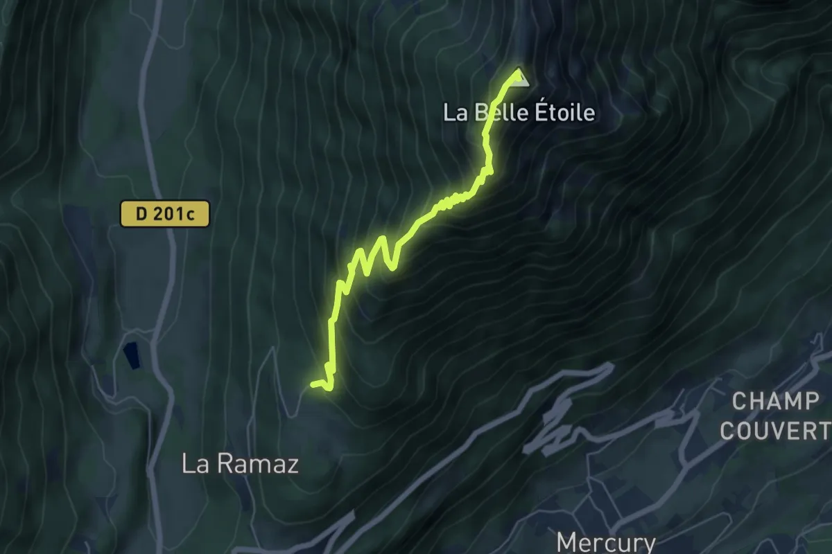
Expert · Summit
La Belle Étoile (boucle)
5.8 km · ↑ 695 m · 2 h 53 min · 6 km away
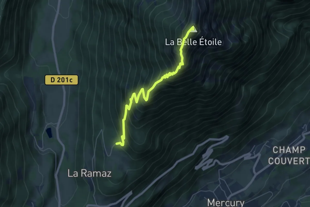
Expert · Summit
La Belle Étoile (aller-retour)
5.8 km · ↑ 695 m · 2 h 53 min · 6 km away
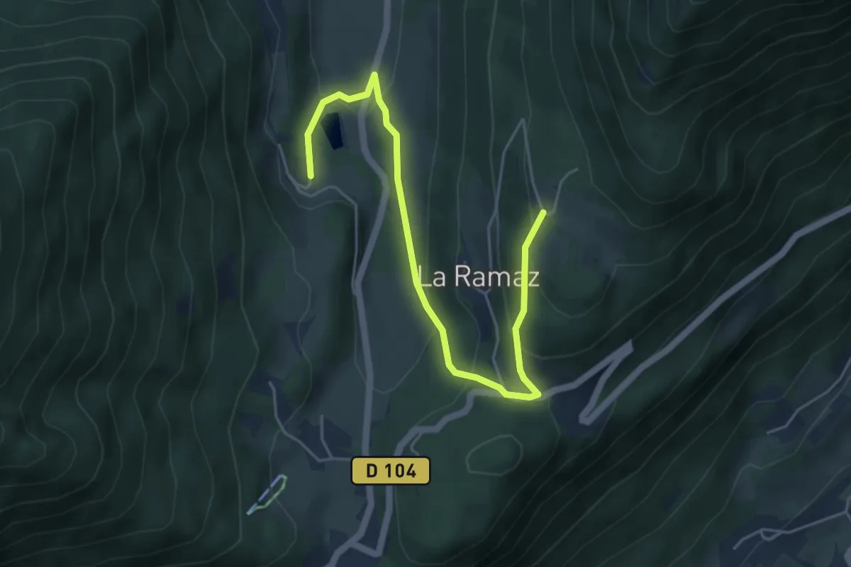
Easy · Trail
Vallon de Tamié
5.3 km · ↑ 253 m · 1 h 47 min · 6 km away
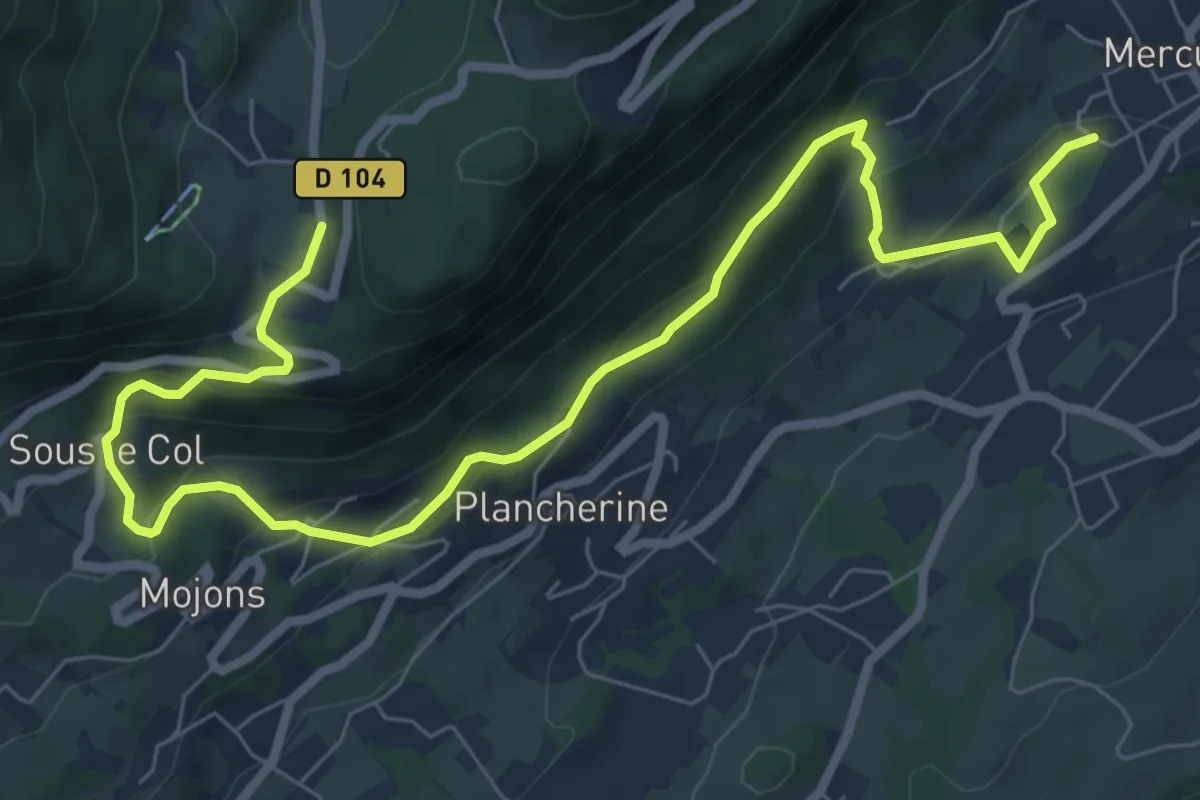
Medium · Trail
À l'assaut du fort de Tamié
9.6 km · ↑ 505 m · 3 h 22 min · 7 km away
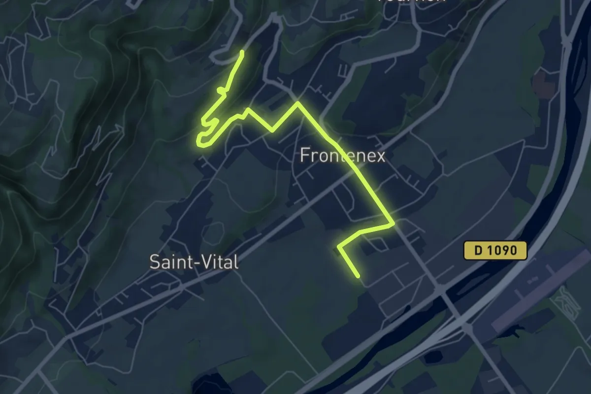
Easy · Trail
De Saint-Vital à Frontenex
6.9 km · ↑ 172 m · 2 h · 8 km away
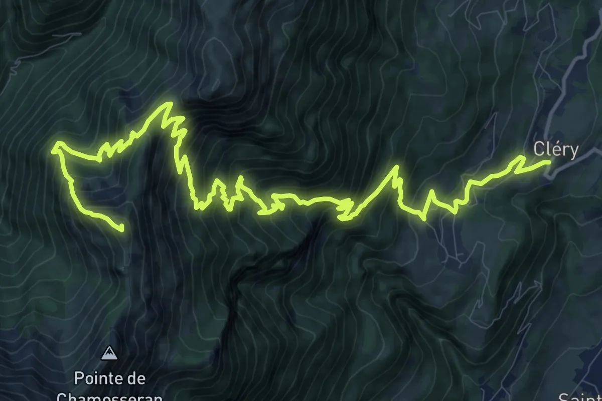
Demanding · Summit
Pointe de la Fougère
19.0 km · ↑ 1829 m · 8 h 26 min · 8 km away
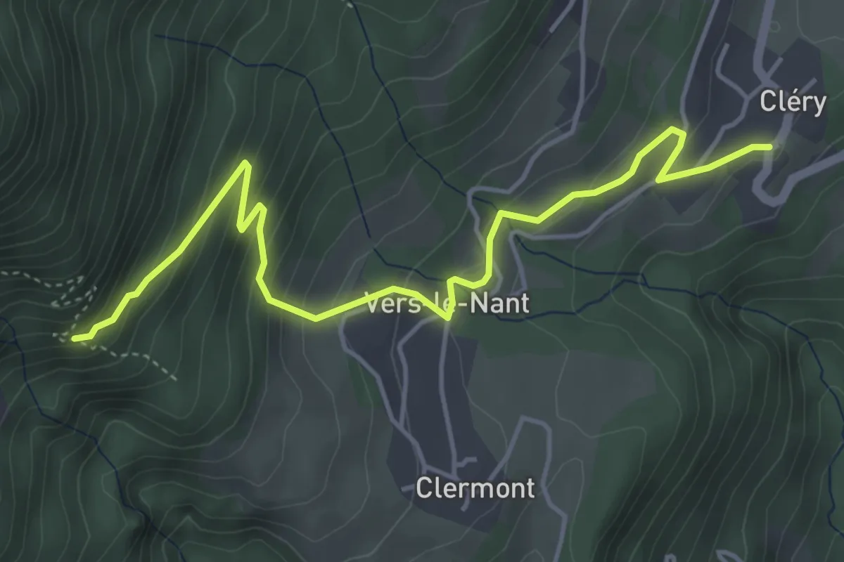
Medium · Trail
Tour du Grand Roc
5.2 km · ↑ 356 m · 2 h · 8 km away
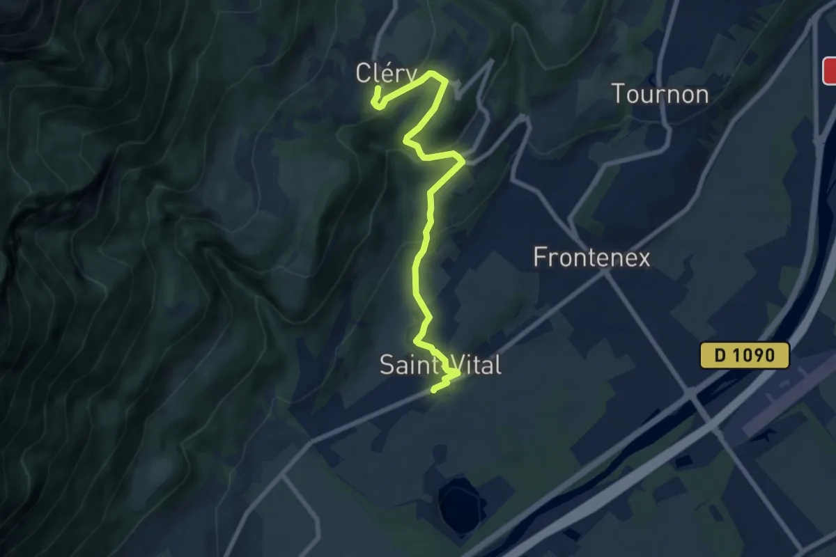
Easy · Trail
Saint-Vital à Cléry
7.0 km · ↑ 290 m · 2 h 17 min · 8 km away
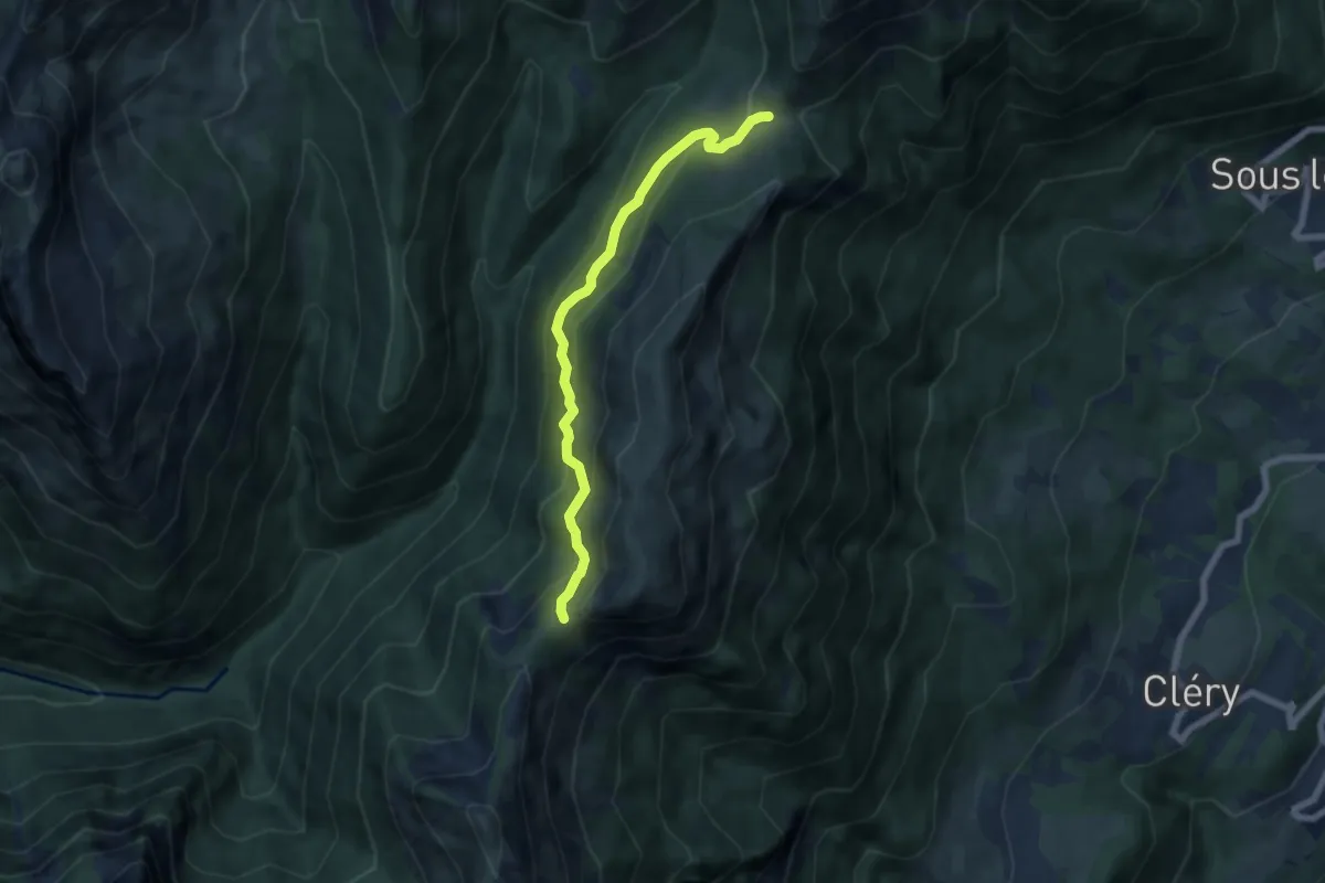
Medium · Trail
Col de la Fougère – Col du Haut du Four
6.2 km · ↑ 414 m · 2 h 22 min · 10 km away
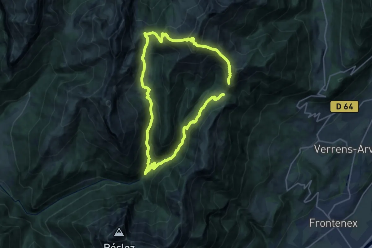
Demanding · Summit
Pointe de Chaurionde
13.5 km · ↑ 1122 m · 5 h 45 min · 10 km away
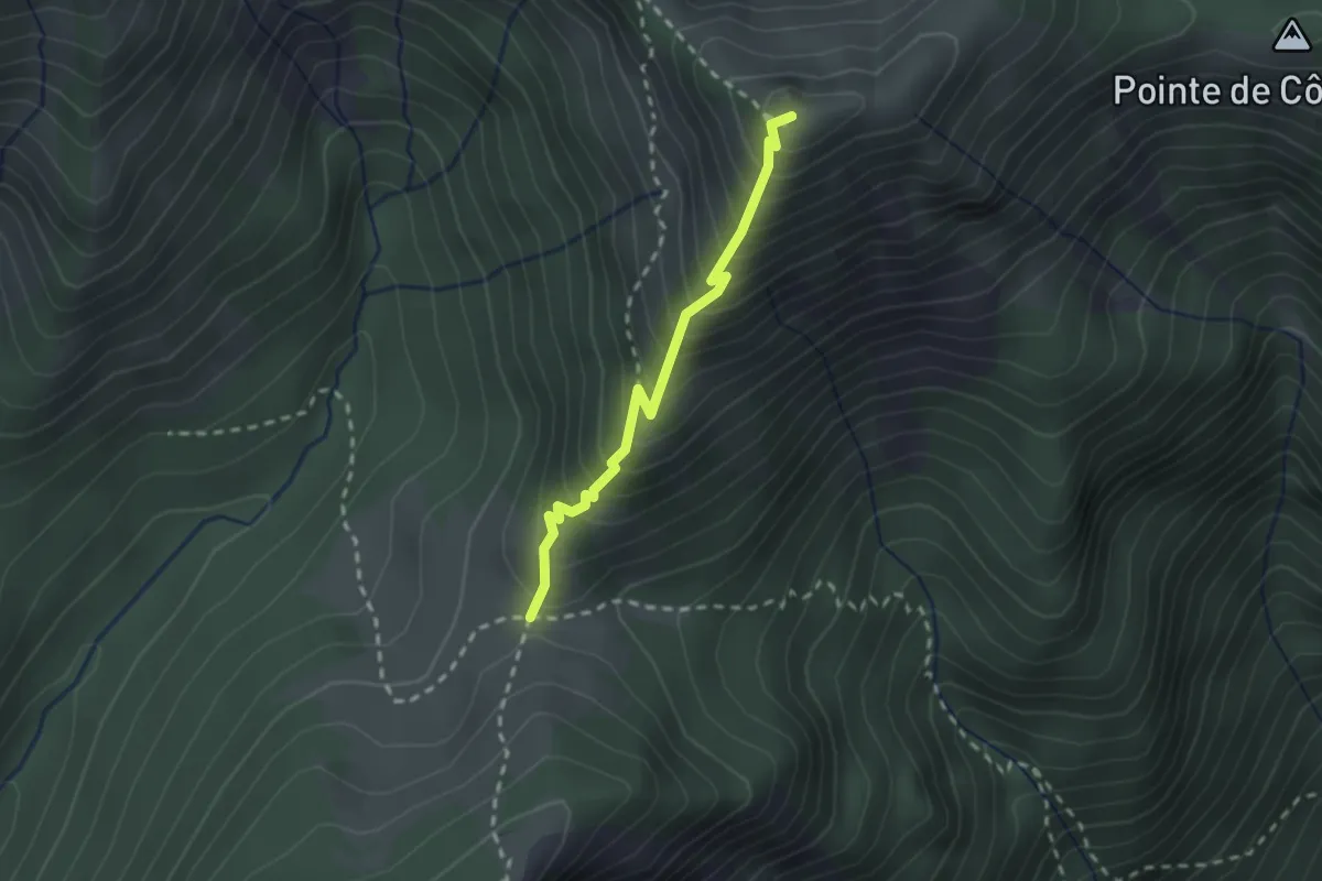
Medium · Summit
Col du Haut du Four – Col du Drison
2.1 km · ↑ 304 m · 1 h 9 min · 10 km away
Medium · Summit
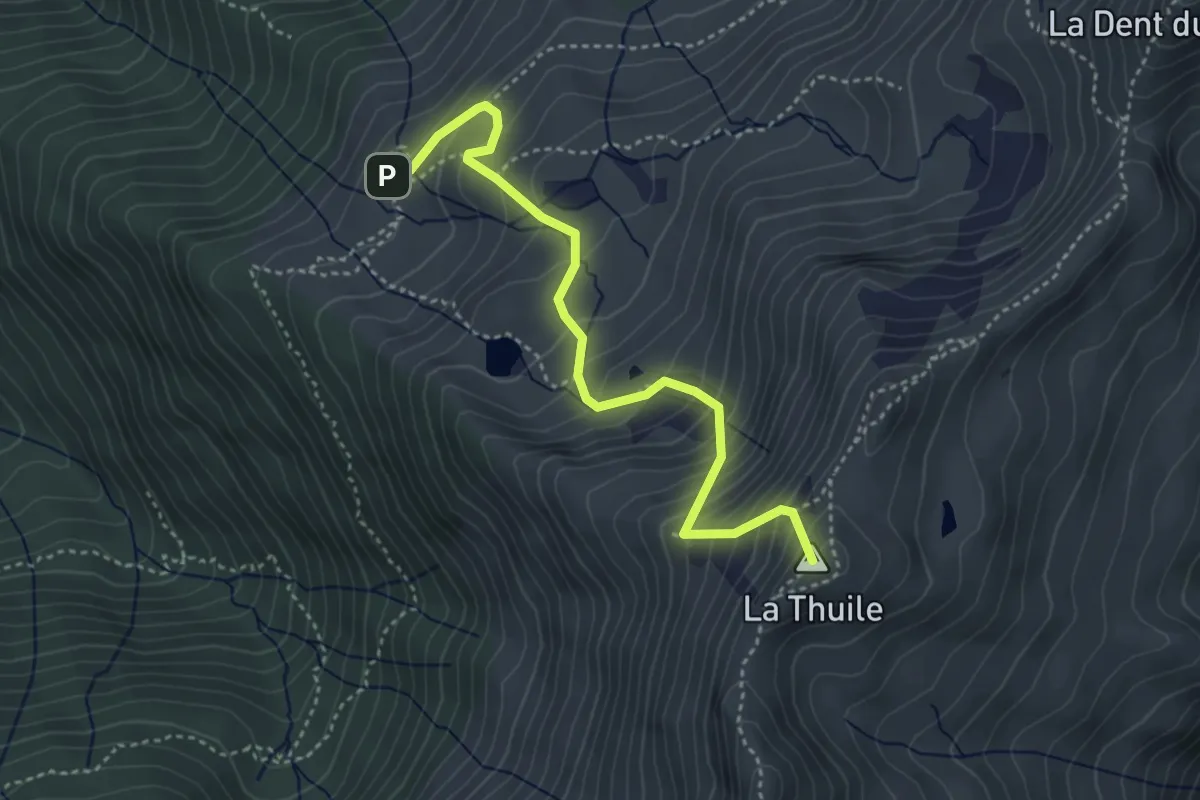
La Thuile
4.1 km · ↑ 494 m · 2 h 3 min · 10 km away
Medium · Trail
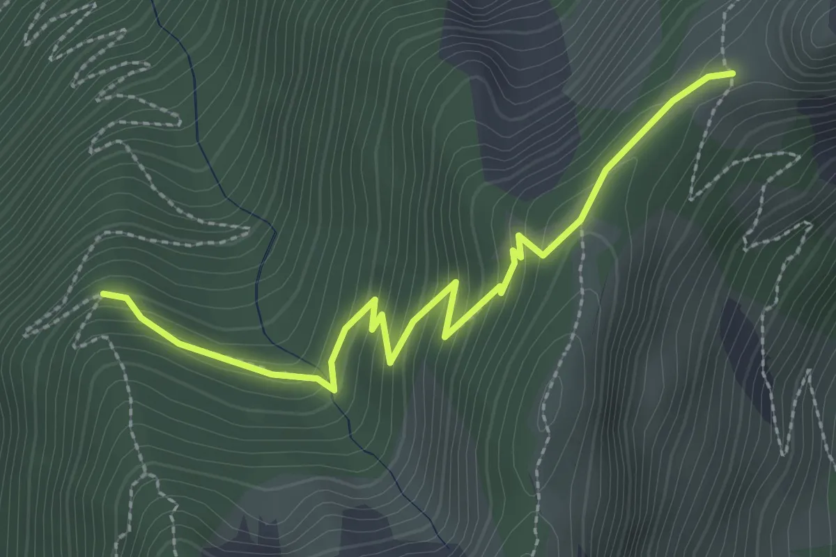
La Fougère – Col de la Fougère
2.9 km · ↑ 237 m · 1 h 12 min · 11 km away
Demanding · Trail
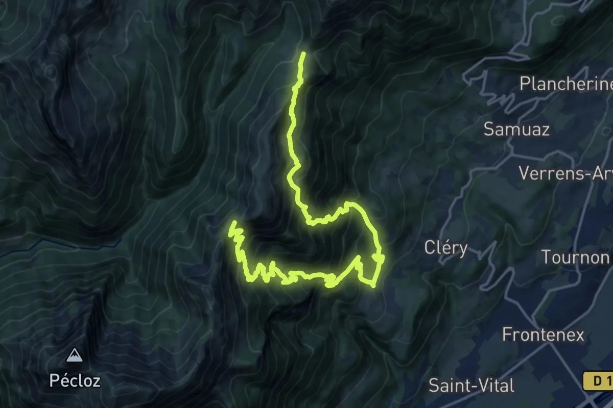
Col de la Fougère – Col du Haut du Four
10.6 km · ↑ 1058 m · 5 h 1 min · 11 km away
Medium · Trail
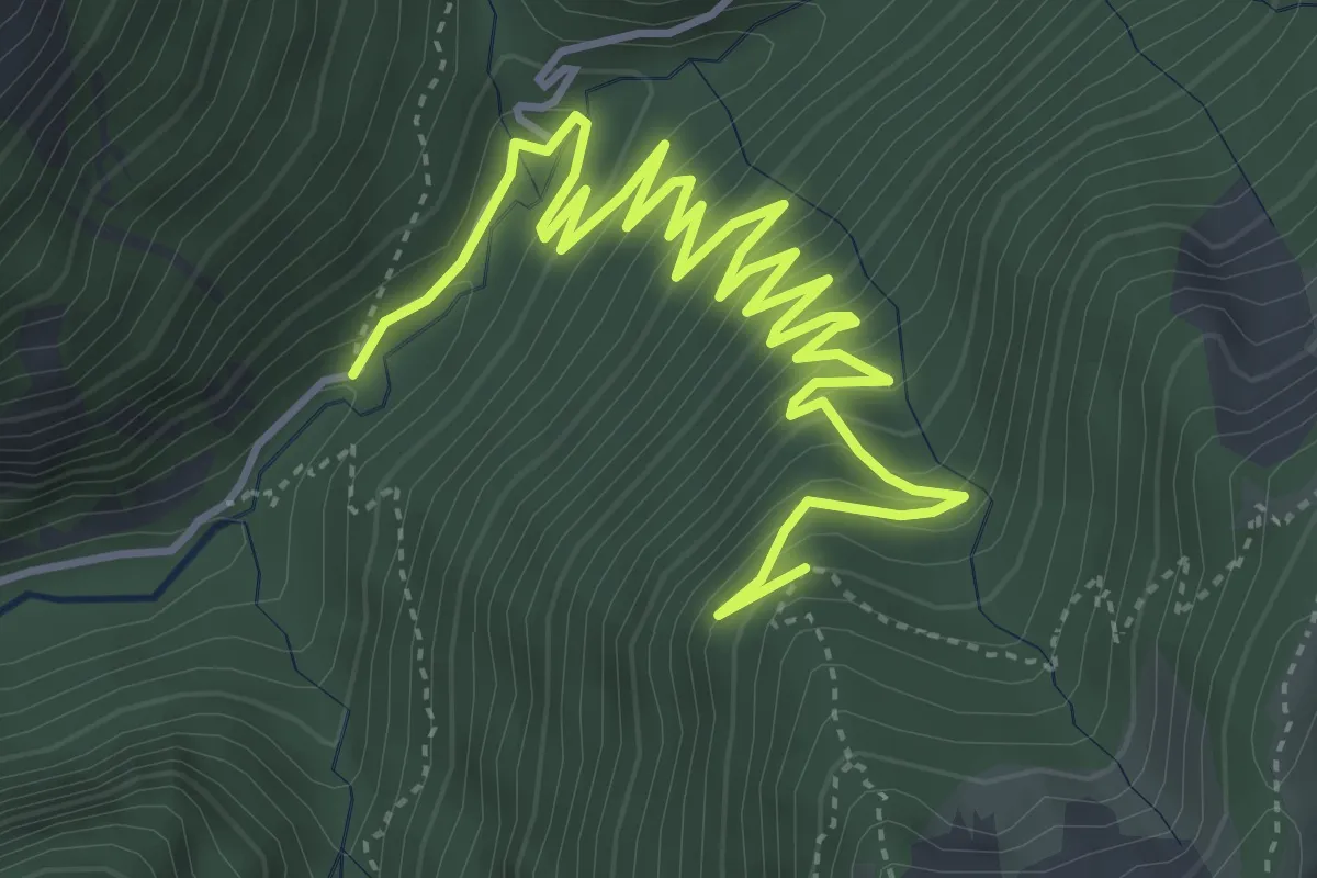
Chemin du Gros Fayard – La Fougère
6.7 km · ↑ 469 m · 2 h 36 min · 12 km away
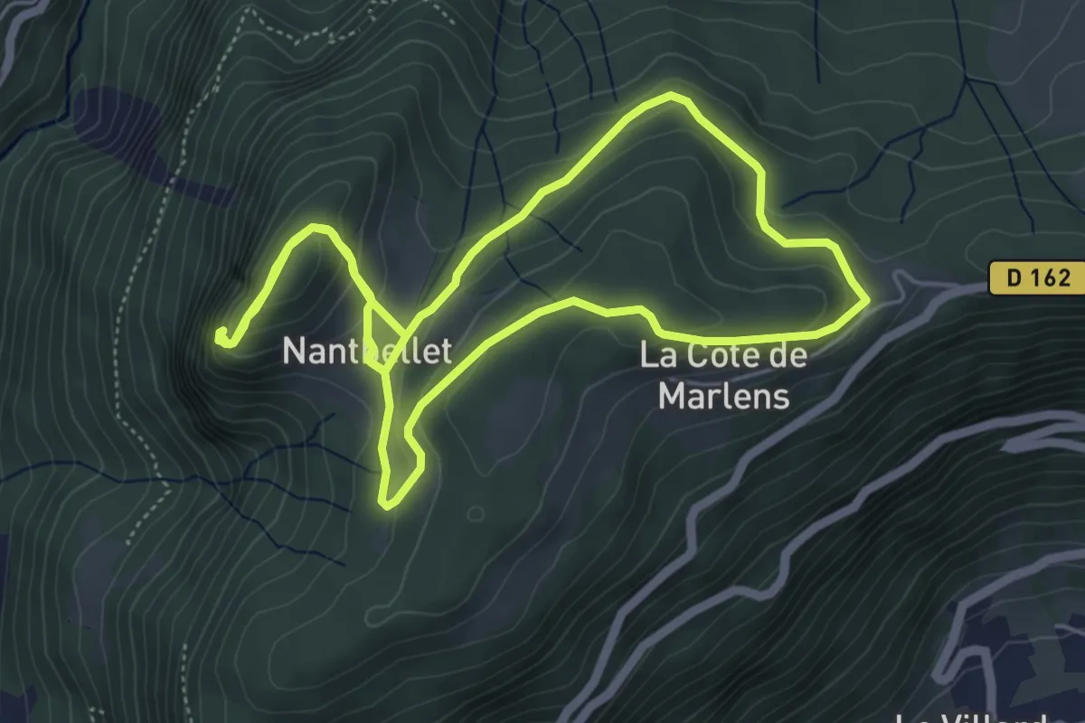
Easy · Summit
Le Roc de Nantbellet
5.3 km · ↑ 225 m · 1 h 48 min · 12 km away
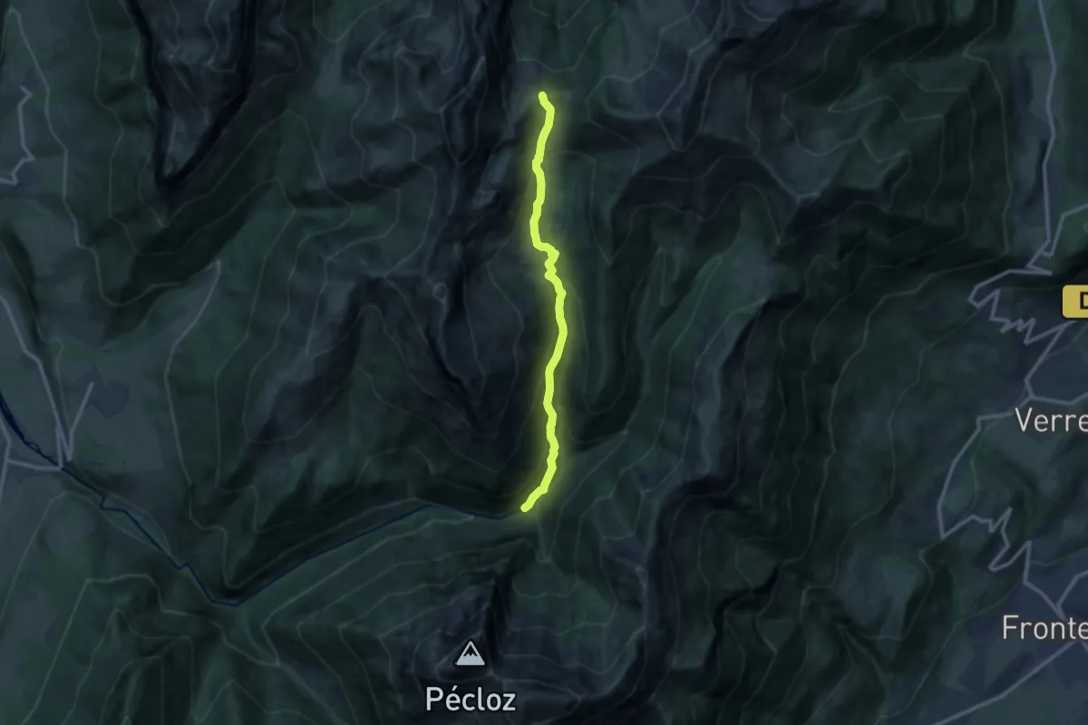
Medium · Trail
L'alpage et le Col d'Orgeval
9.9 km · ↑ 739 m · 3 h 56 min · 13 km away
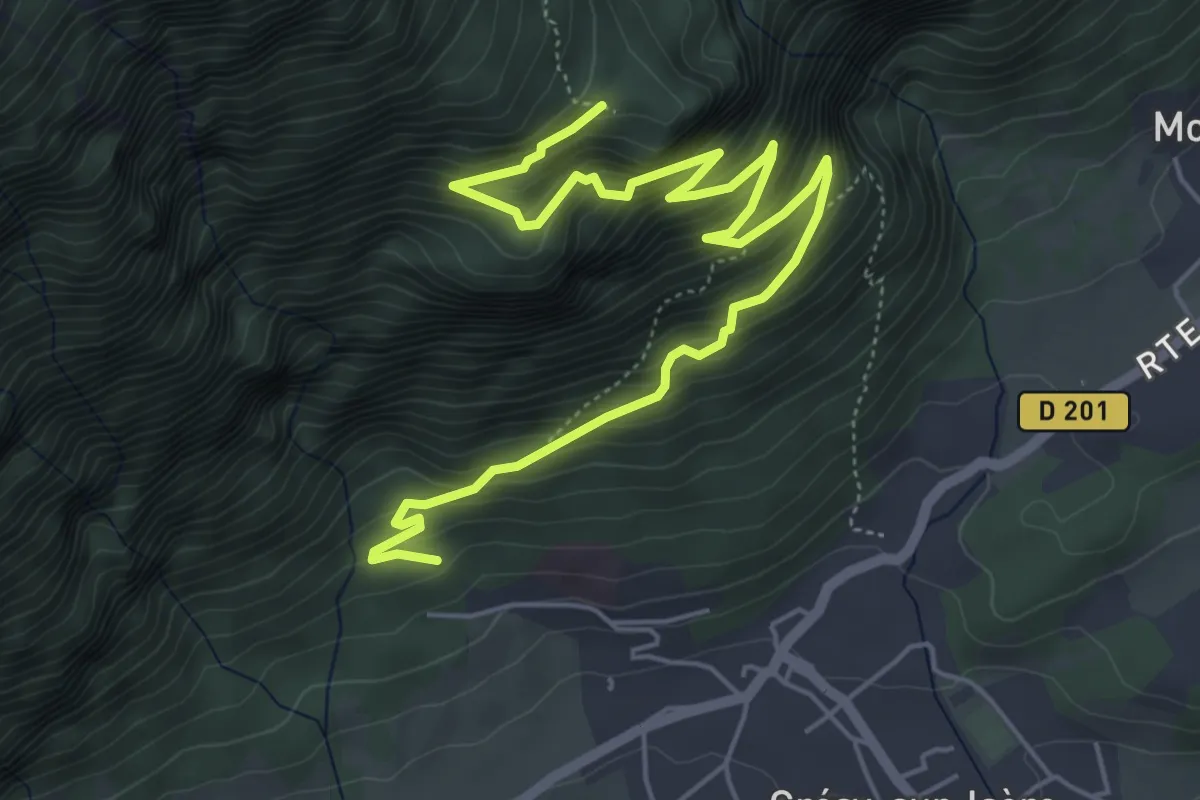
Medium · Trail
Mont de Grésy
7.2 km · ↑ 746 m · 3 h 18 min · 14 km away
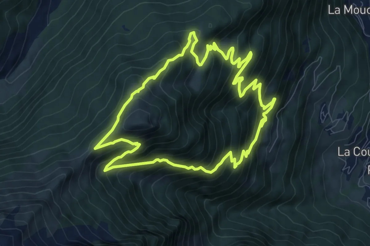
Medium · Trail
Col de l'Arc
9.4 km · ↑ 733 m · 3 h 56 min · 14 km away
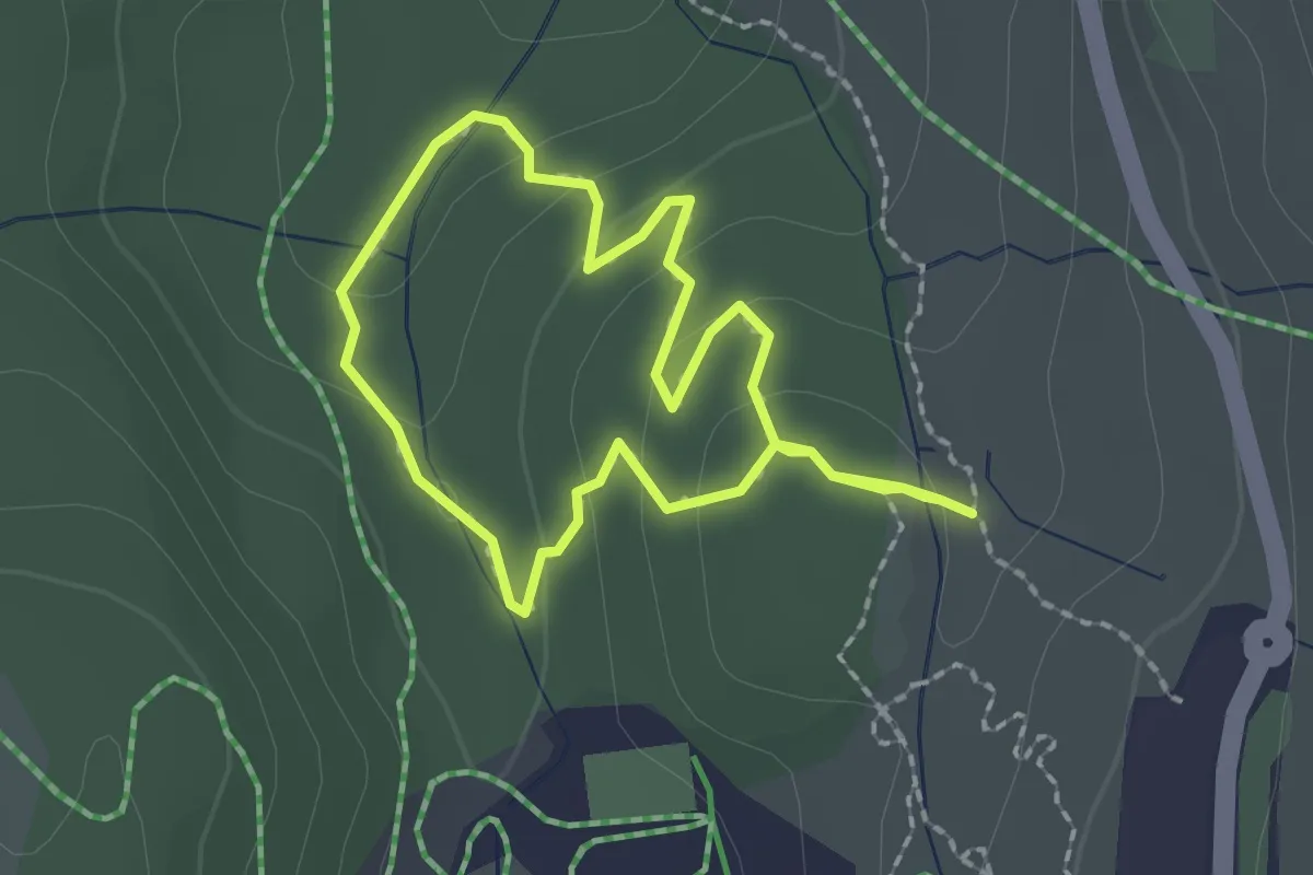
Easy · Trail
Sentier flore et milieux naturels
1.7 km · ↑ 52 m · 33 min · 15 km away
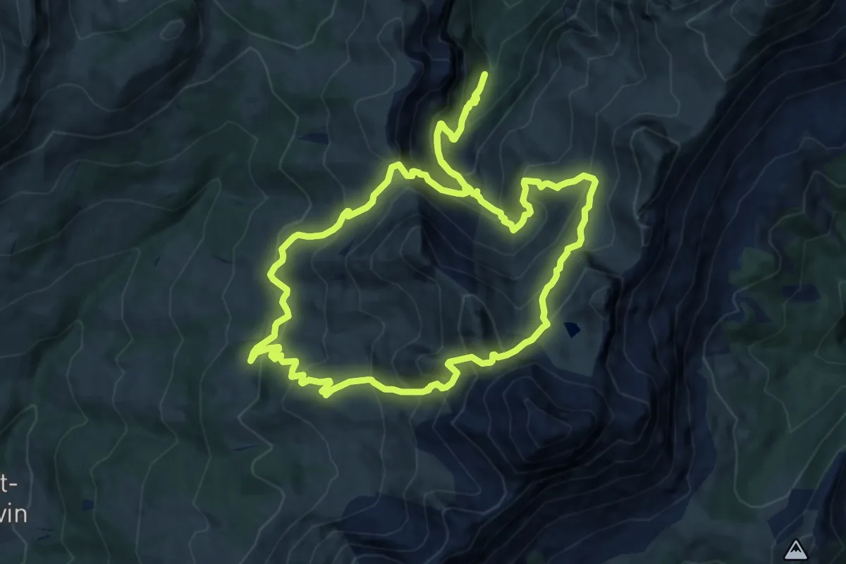
Demanding · Trail
Tour de la Tulle
11.7 km · ↑ 976 m · 5 h 2 min · 15 km away