Trails near Aubagne
58 hikes starting within 15 km, nearest first.
Nearest first, page 1 of 2
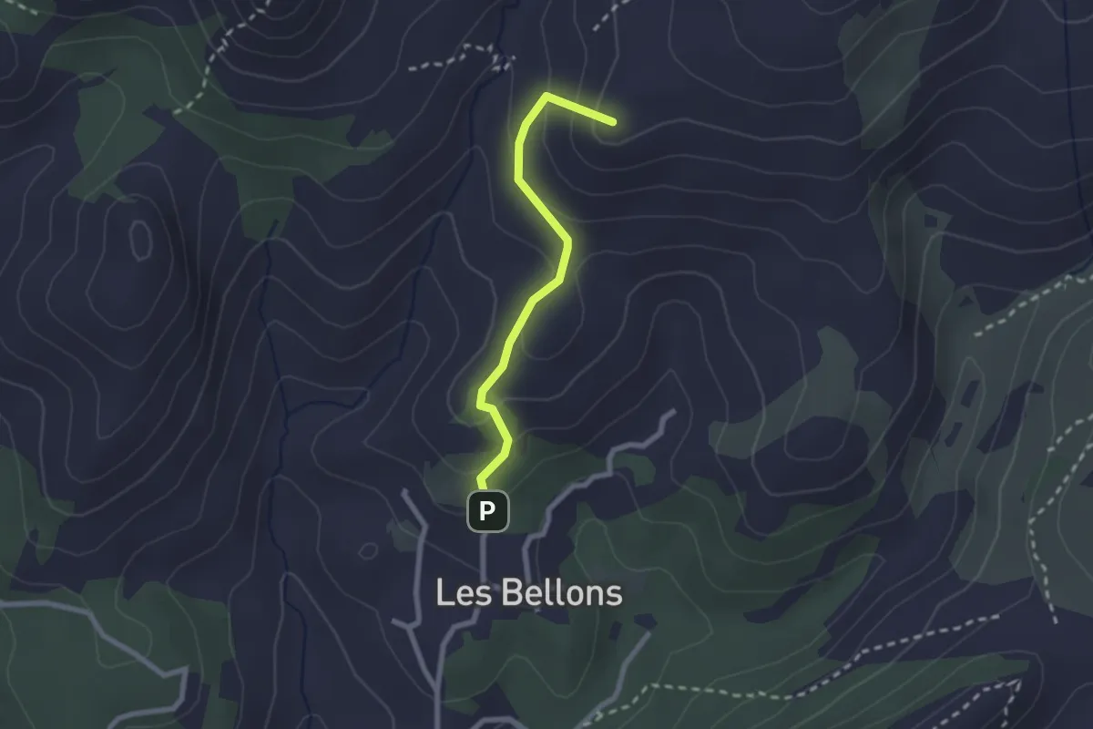
Medium · Summit
La Bastide neuve - Tête ronde - Pas du loup
2.2 km · ↑ 134 m · 48 min · 6 km away
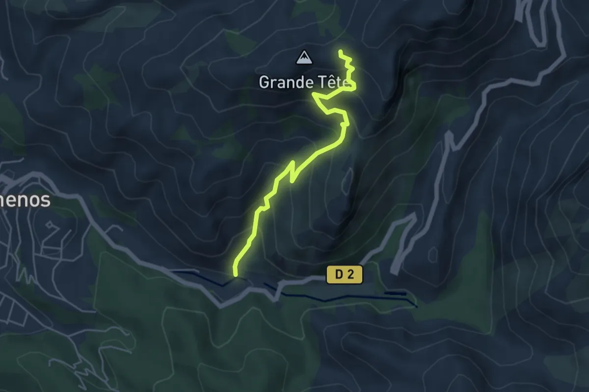
Medium · Trail
Saint-Pons - Col de Brest
4.4 km · ↑ 450 m · 2 h 1 min · 7 km away
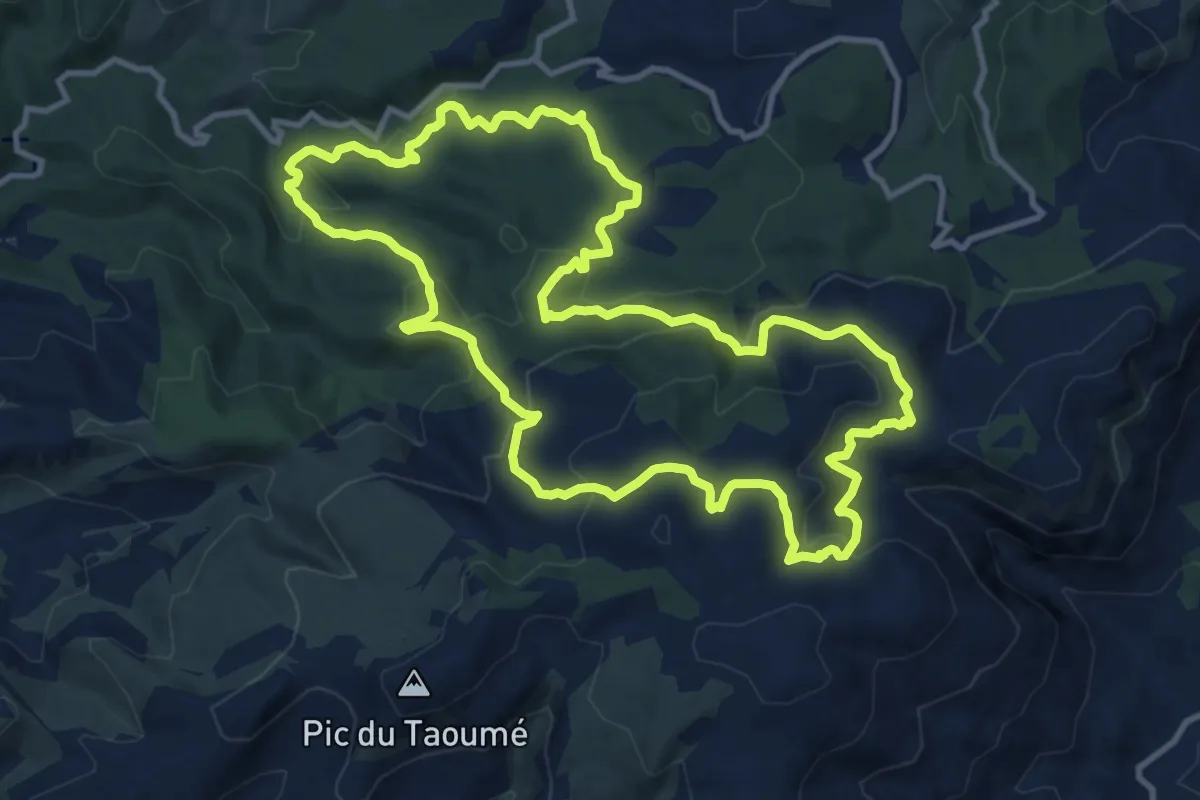
Medium · Trail
Boucle des Grands Ubacs
12.9 km · ↑ 511 m · 4 h 20 min · 7 km away
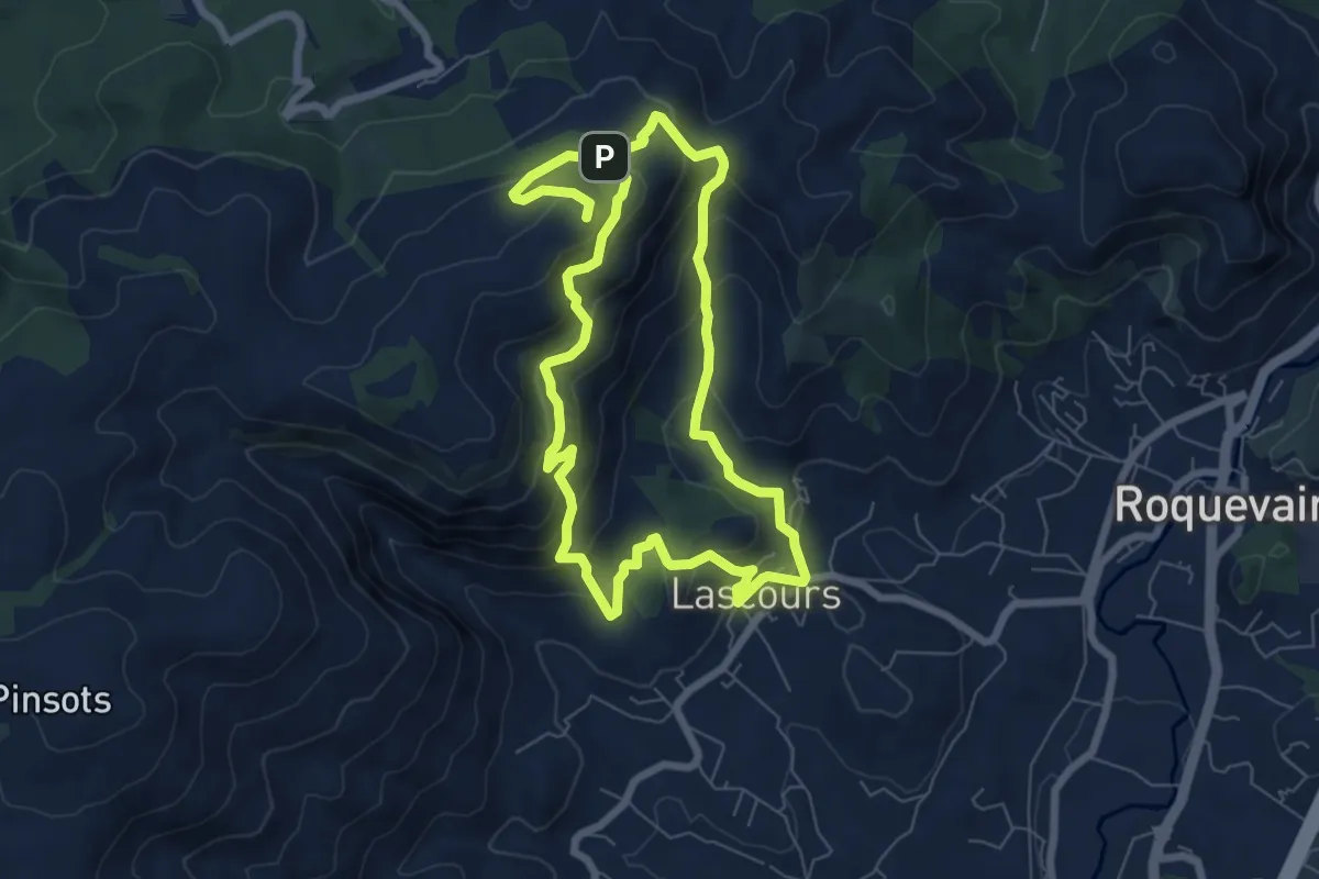
Medium · Summit
Le mont du Marseillais
6.9 km · ↑ 477 m · 2 h 43 min · 8 km away
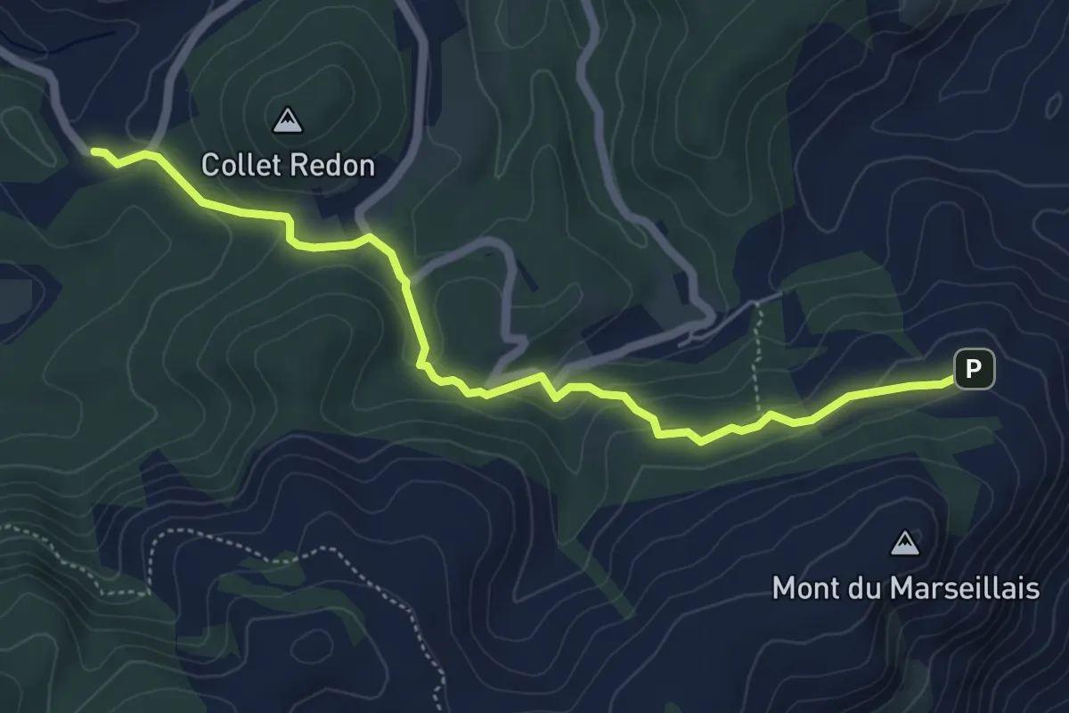
Easy · Trail
Variante GRP évitant le Mont du Marseillais
5.7 km · ↑ 194 m · 1 h 47 min · 8 km away
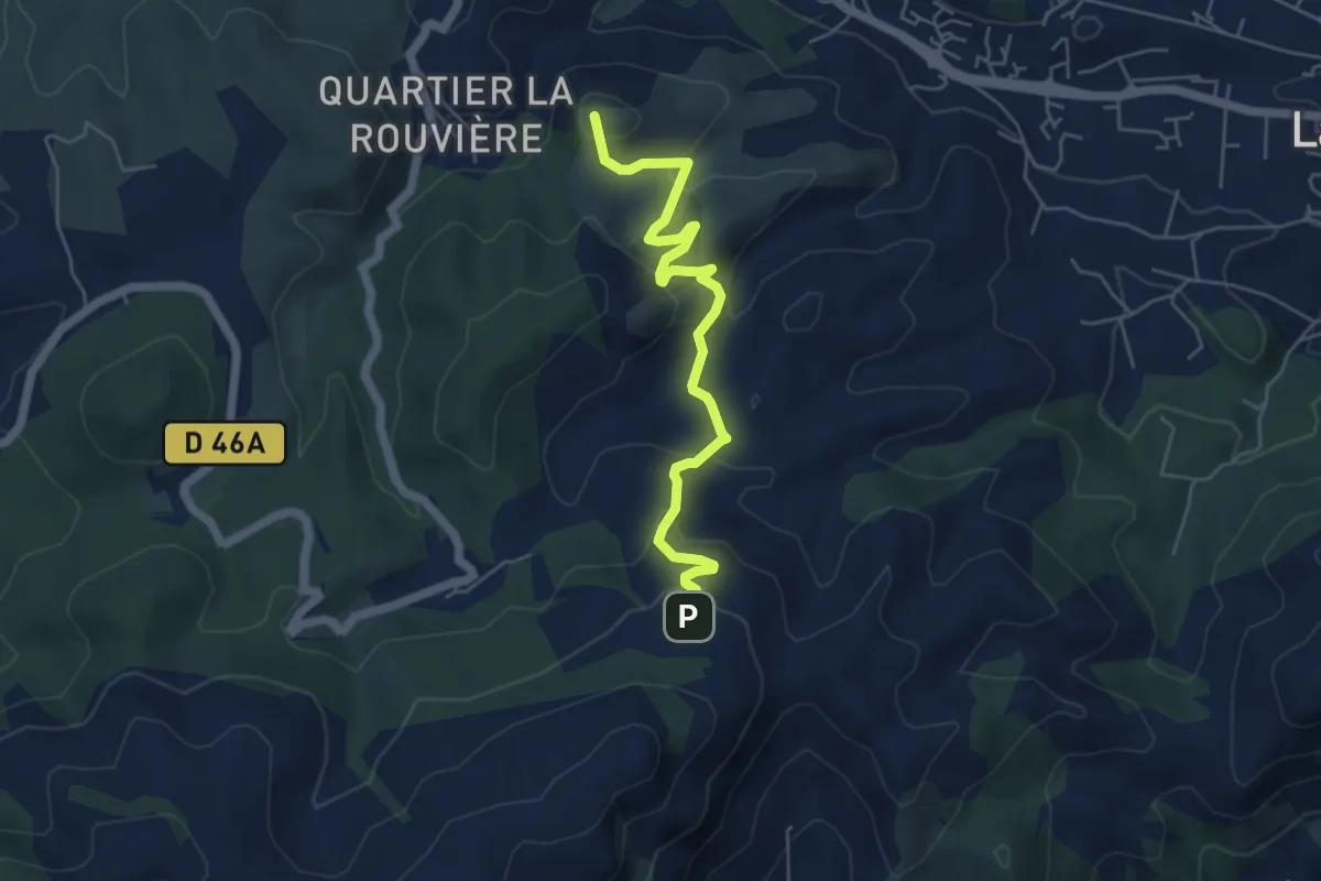
Easy · Summit
De Peypin au poteau GB-57
5.6 km · ↑ 316 m · 2 h 1 min · 8 km away
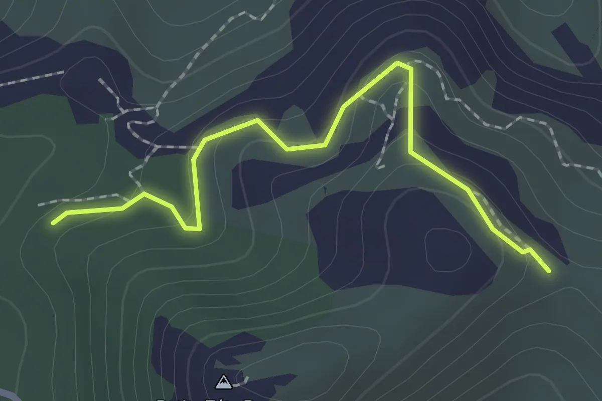
Easy · Trail
Rando
2.1 km · ↑ 96 m · 42 min · 8 km away
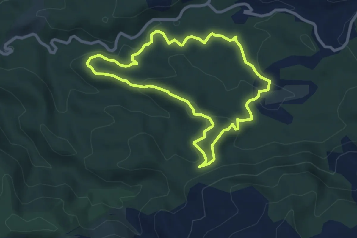
Medium · Trail
Boucle du Château de Ners
5.4 km · ↑ 155 m · 1 h 42 min · 8 km away
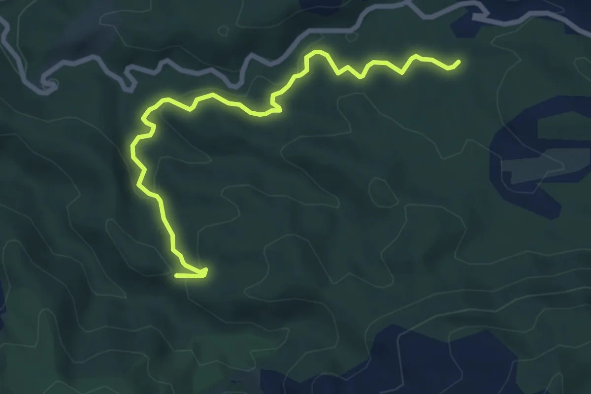
Medium · Trail
jaune
6.5 km · ↑ 207 m · 1 h 59 min · 8 km away
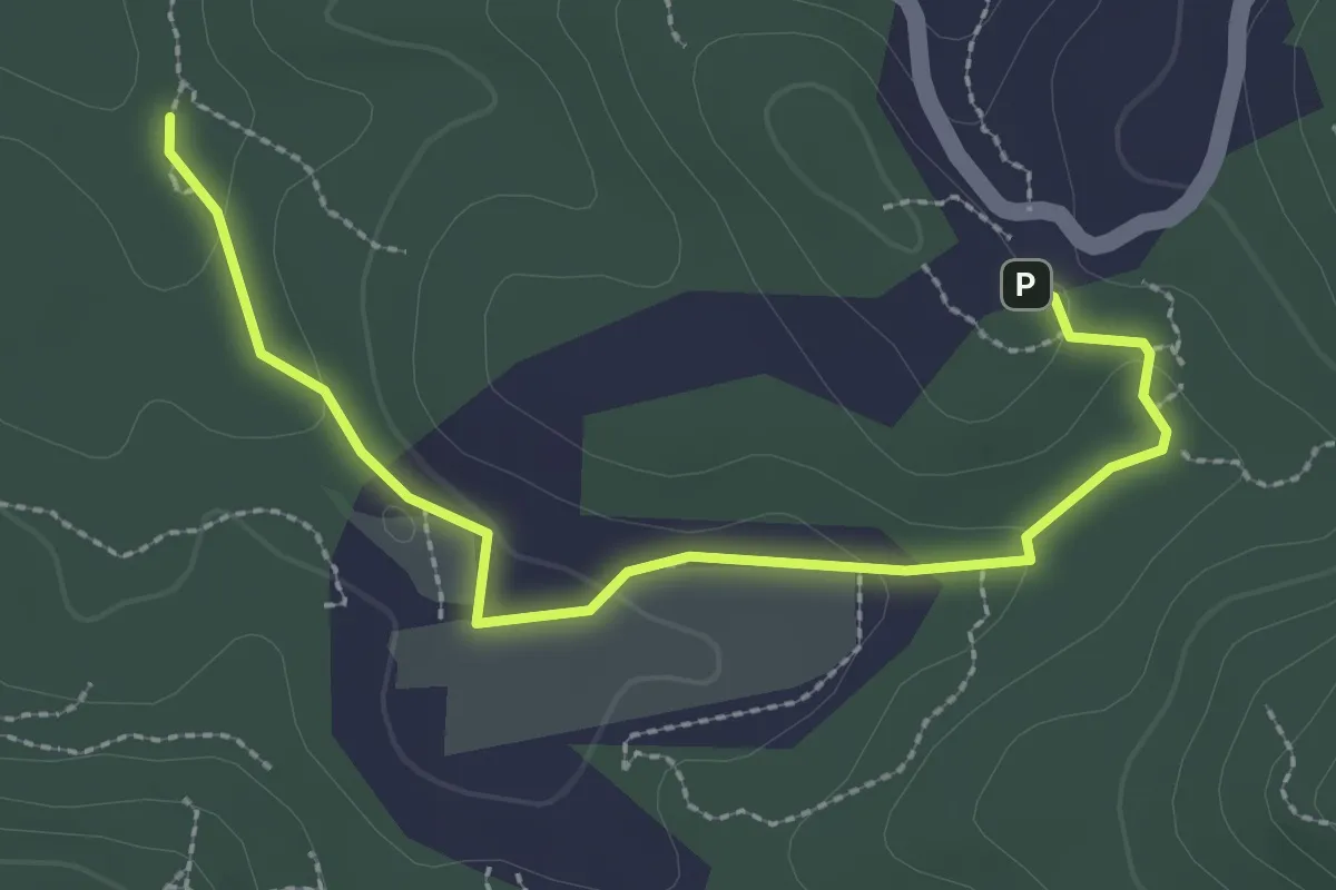
Easy · Trail
Boucle des Bergers
3.1 km · ↑ 68 m · 53 min · 9 km away
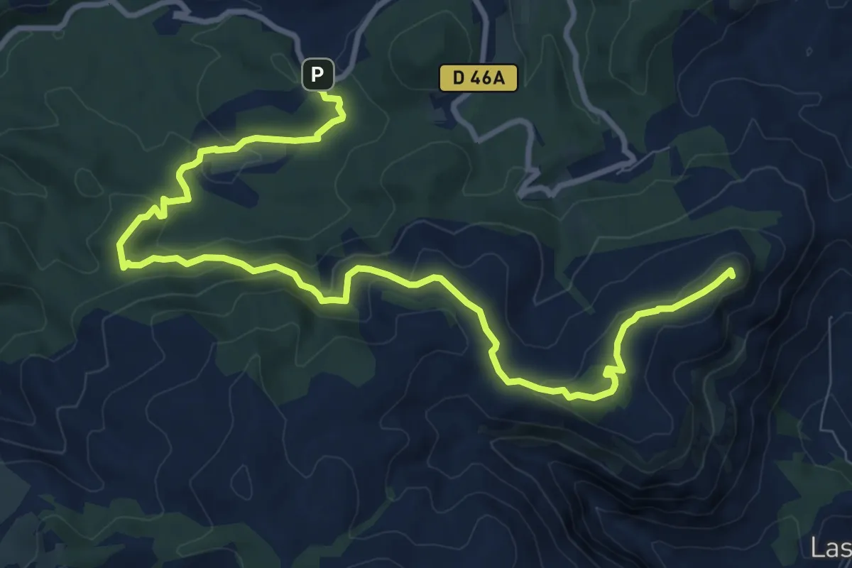
Medium · Summit
Du Mont du Marseillais au poteau GB-71
12.7 km · ↑ 425 m · 3 h 55 min · 9 km away
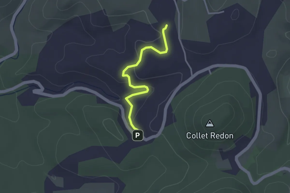
Easy · Trail
Du poteau GB 71 au poteau GB 72
2.7 km · ↑ 69 m · 47 min · 9 km away
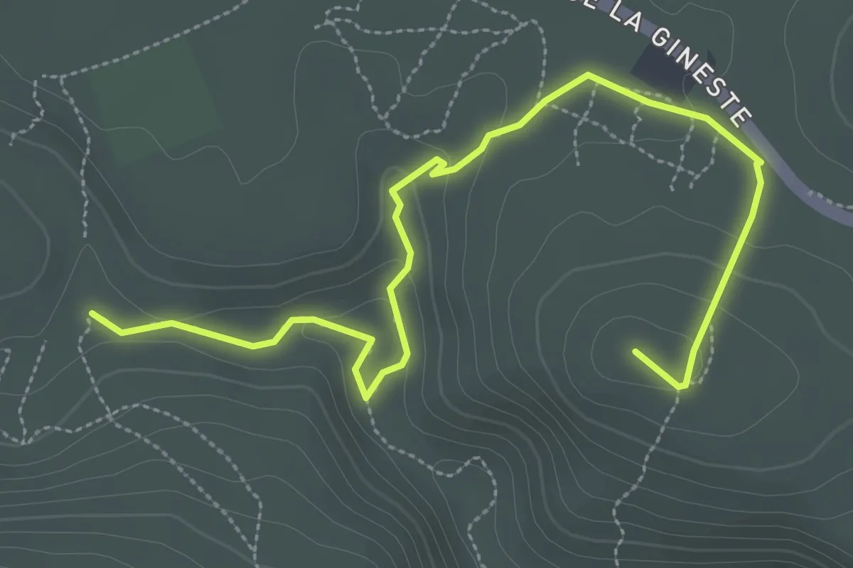
Easy · Trail
Route Gaston Rebuffat – Le Ris
4.1 km · ↑ 120 m · 1 h 14 min · 9 km away
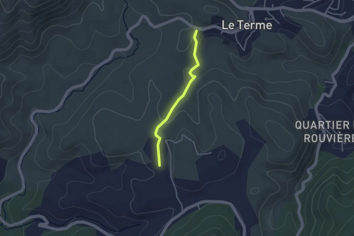
Easy · Trail
Du poteau GB 72 au poteau GB 73
2.4 km · ↑ 48 m · 41 min · 9 km away
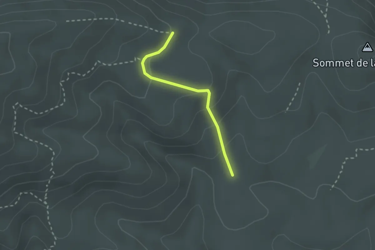
Easy · Trail
Sentier jaune 6 – Sentier marron 5
2.0 km · ↑ 100 m · 42 min · 9 km away
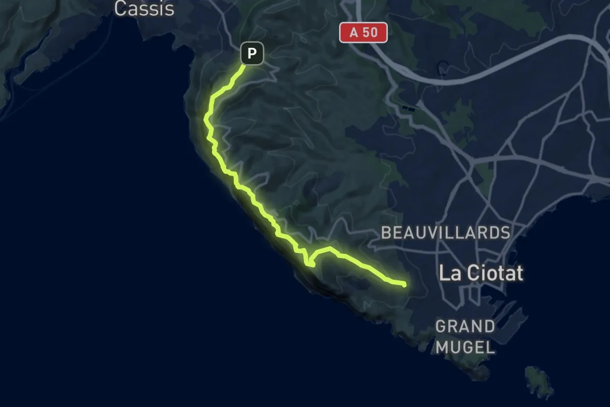
Demanding · Trail
Sentier du Cap Canaille
13.8 km · ↑ 1353 m · 6 h 12 min · 9 km away
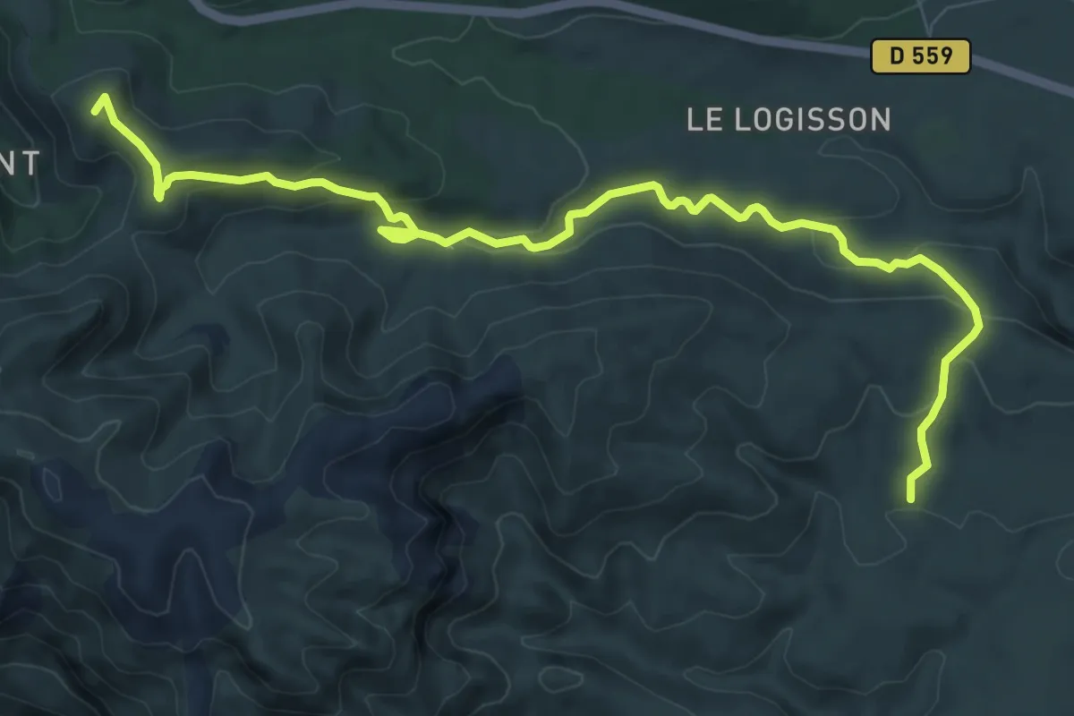
Medium · Summit
Col de la Gineste – Maison forestière de la Gardiole
11.2 km · ↑ 354 m · 3 h 25 min · 10 km away
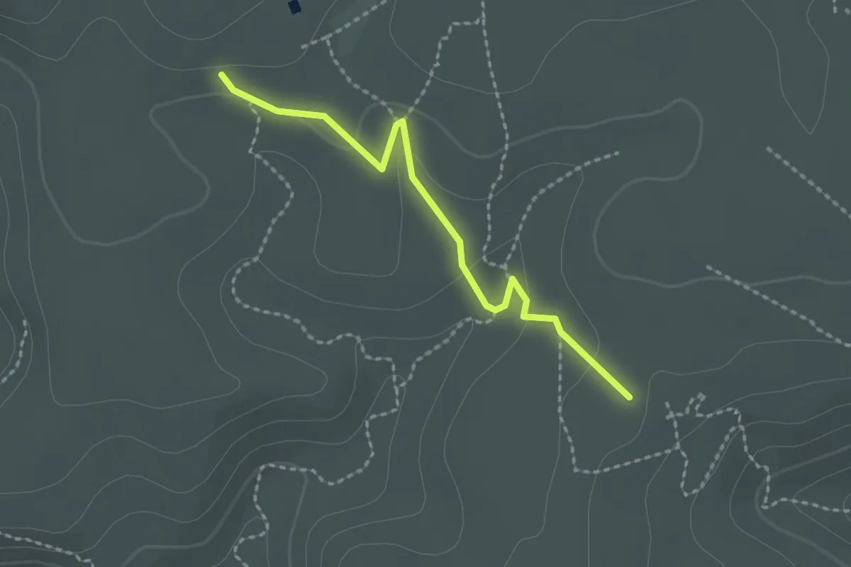
Easy · Trail
Auberge de jeunesse de la Fontasse – Maison forestière de la Gardiole
2.1 km · ↑ 37 m · 35 min · 10 km away
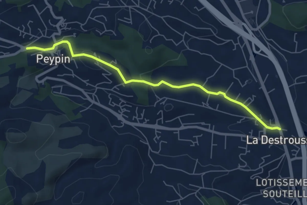
Easy · Trail
De La Destrousse à Peypin
5.9 km · ↑ 131 m · 1 h 40 min · 10 km away
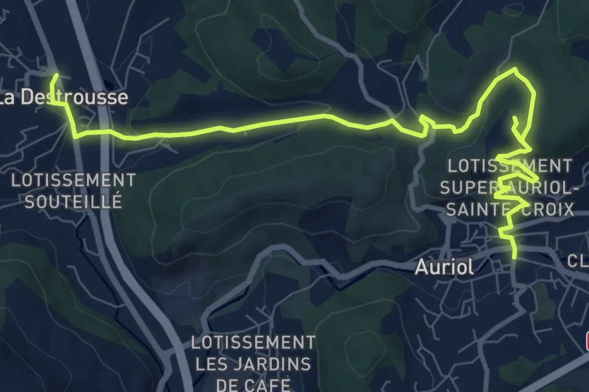
Medium · Trail
De Auriol à La Destrousse
10.2 km · ↑ 361 m · 3 h 12 min · 10 km away
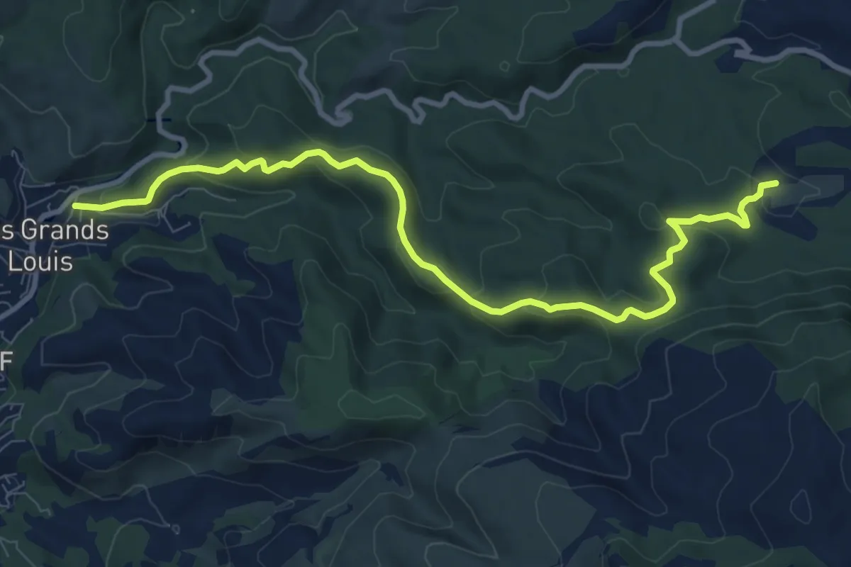
Medium · Trail
yellow
10.5 km · ↑ 351 m · 3 h 14 min · 10 km away
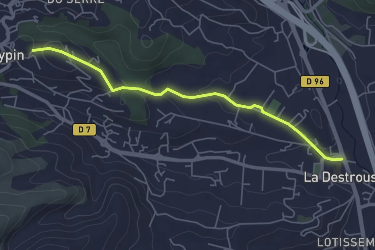
Easy · Trail
La Destrousse - Mont du Marseillais
4.7 km · ↑ 103 m · 1 h 19 min · 10 km away
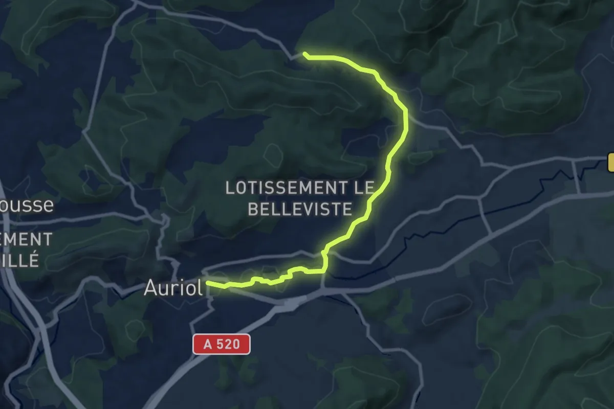
Medium · Trail
Du poteau RE 24 à Auriol
9.4 km · ↑ 156 m · 2 h 33 min · 10 km away
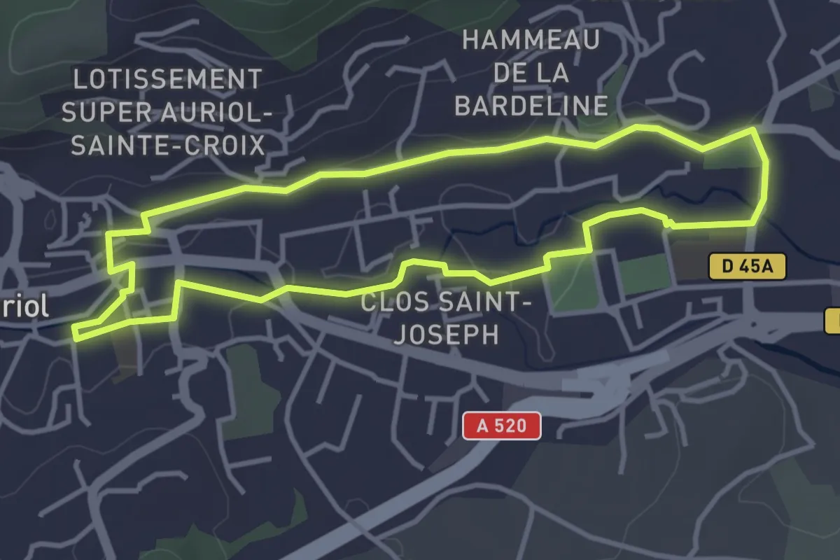
Easy · Trail
Les moulins
3.6 km · ↑ 34 m · 59 min · 10 km away
Easy · Trail
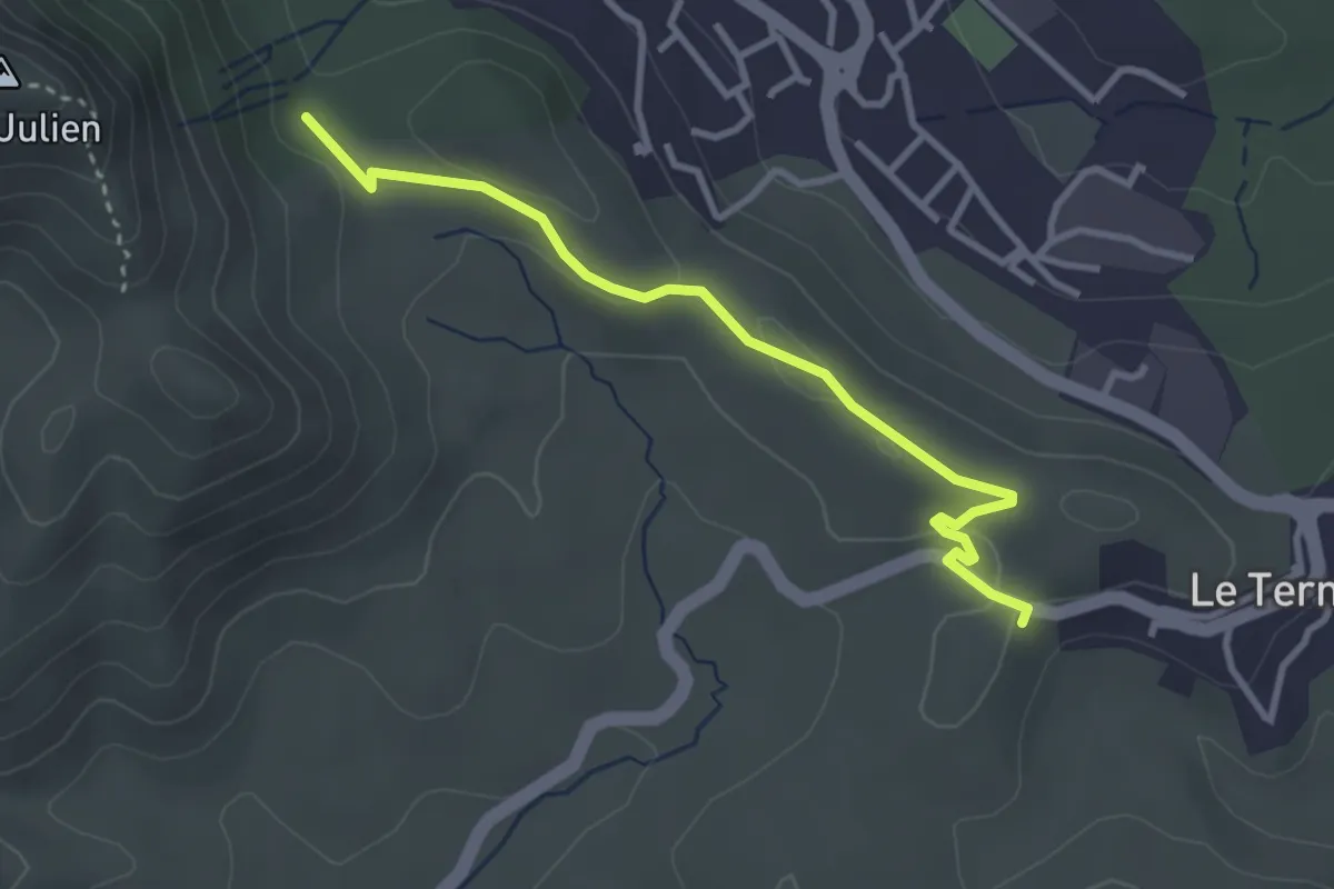
Du poteau GB-73 au Poteau ET 03
3.4 km · ↑ 40 m · 54 min · 10 km away
Easy · Trail
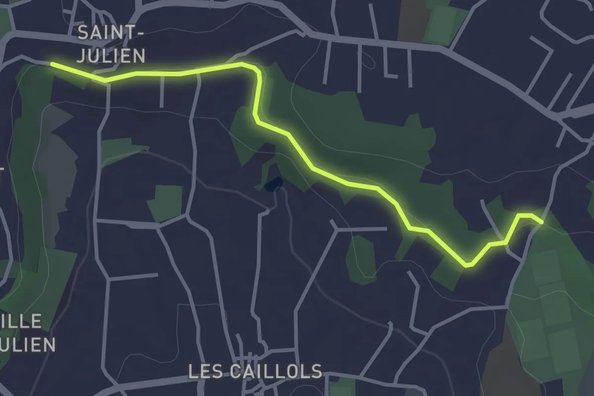
Promenade du Canal Saint Julien
3.4 km · ↑ 57 m · 56 min · 10 km away
Medium · Trail
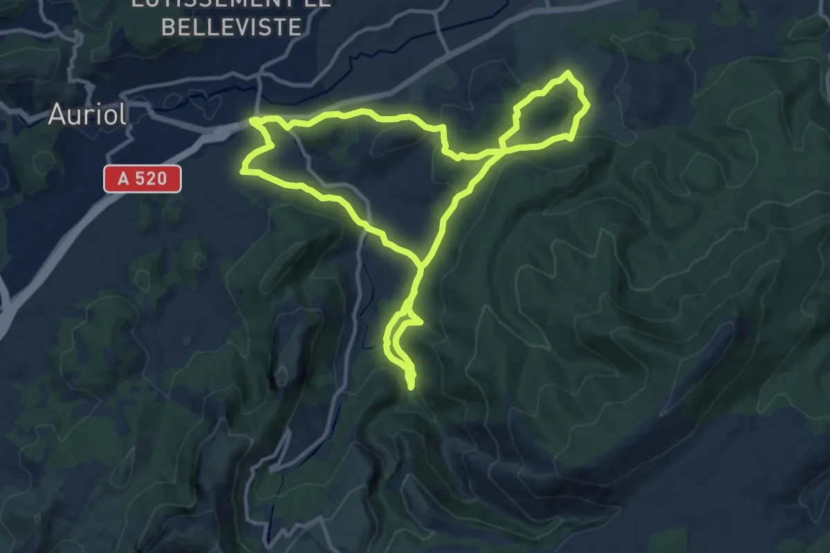
Circuit des Encanaux de 15 Km
11.7 km · ↑ 363 m · 3 h 43 min · 11 km away
Easy · Trail
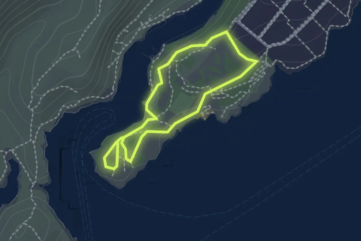
Petit Prince
1.6 km · ↑ 33 m · 29 min · 11 km away
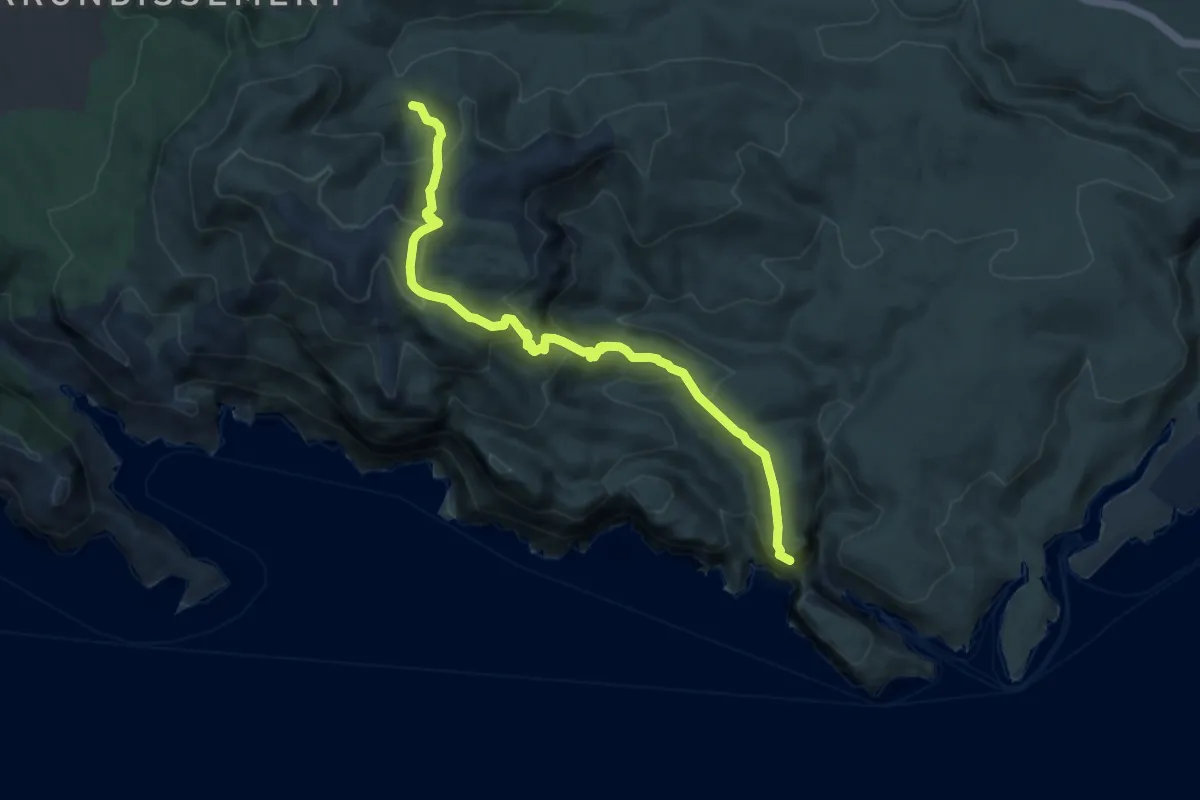
Medium · Trail
Puits du Cancel – Belvédère d'En-Vau
9.4 km · ↑ 616 m · 3 h 34 min · 11 km away
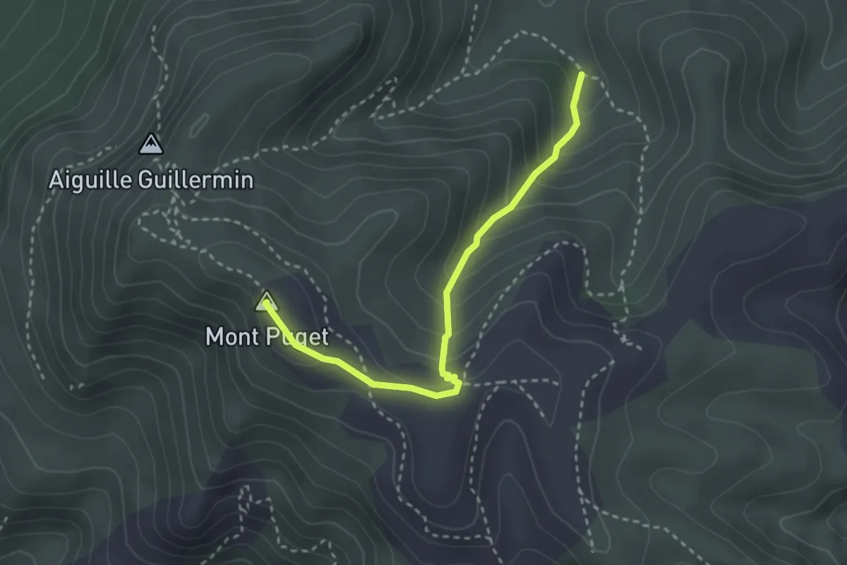
Demanding · Summit
Puits du Cancel – Mont Puget
3.0 km · ↑ 238 m · 1 h 13 min · 11 km away
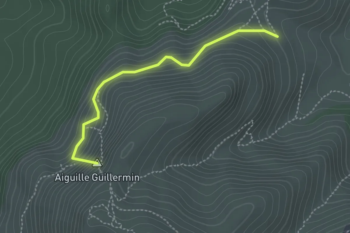
Easy · Summit
Col de Sugiton – Col Ricard
2.4 km · ↑ 196 m · 59 min · 11 km away
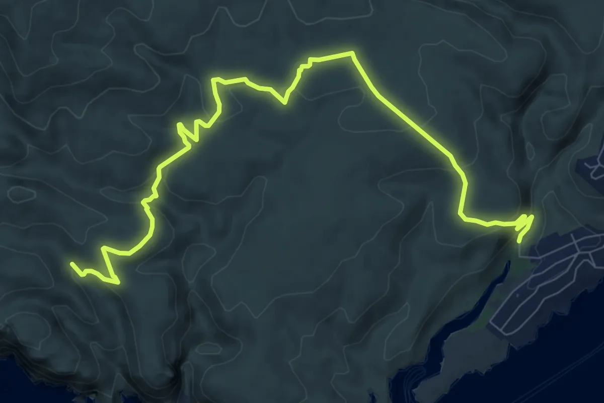
Medium · Trail
Puits de l'Oule – Calanque de Port Miou
11.3 km · ↑ 370 m · 3 h 29 min · 11 km away
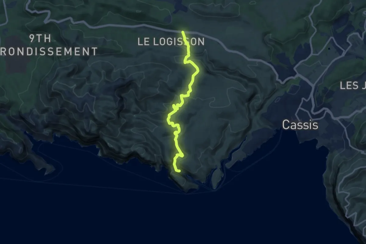
Medium · Trail
Logisson – Calanque d'en Vau
11.7 km · ↑ 461 m · 3 h 46 min · 12 km away
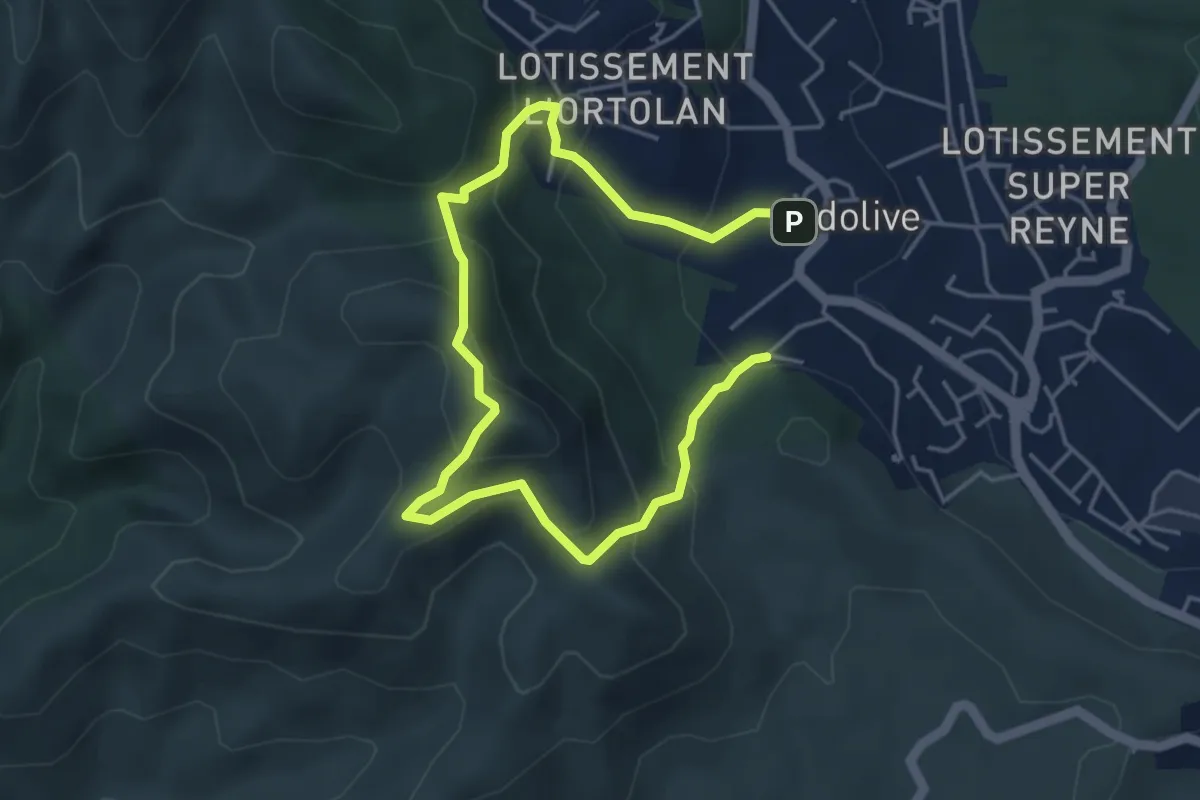
Easy · Summit
Le mont Julien
3.3 km · ↑ 250 m · 1 h 22 min · 12 km away
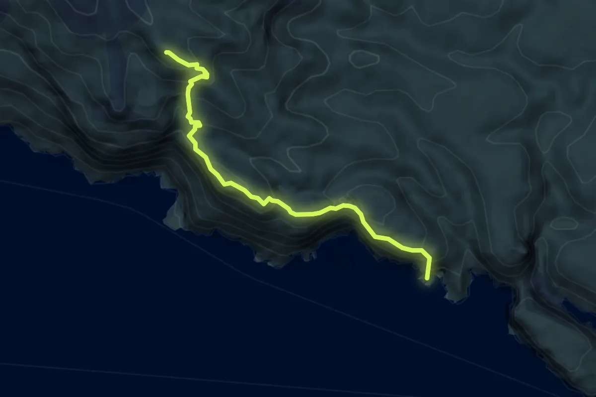
Demanding · Summit
Cap gros – Port Miou
5.5 km · ↑ 636 m · 2 h 40 min · 12 km away
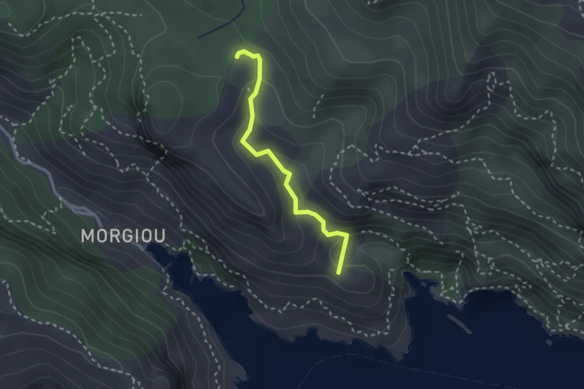
Medium · Summit
Col de Sugiton – Calanque de Sugiton
2.2 km · ↑ 123 m · 48 min · 13 km away
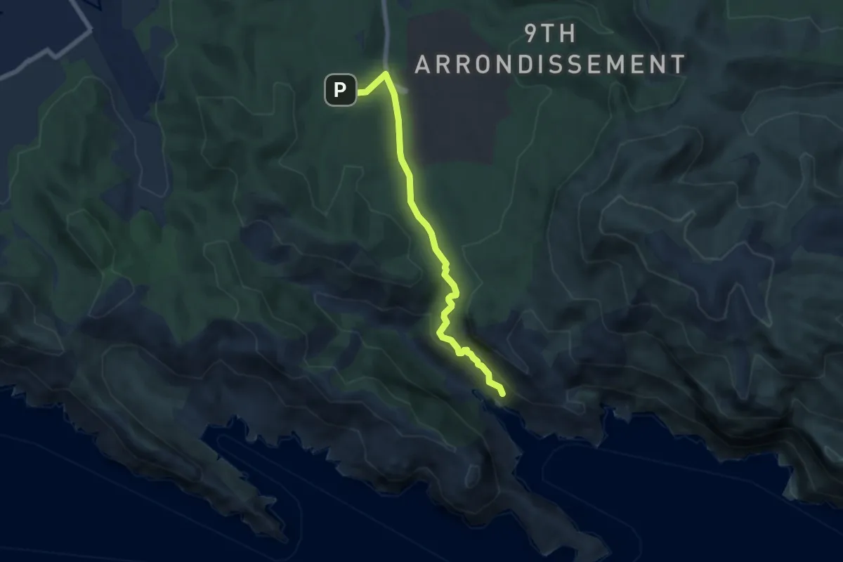
Demanding · Trail
Luminy – Morgiou
6.2 km · ↑ 297 m · 2 h 6 min · 13 km away
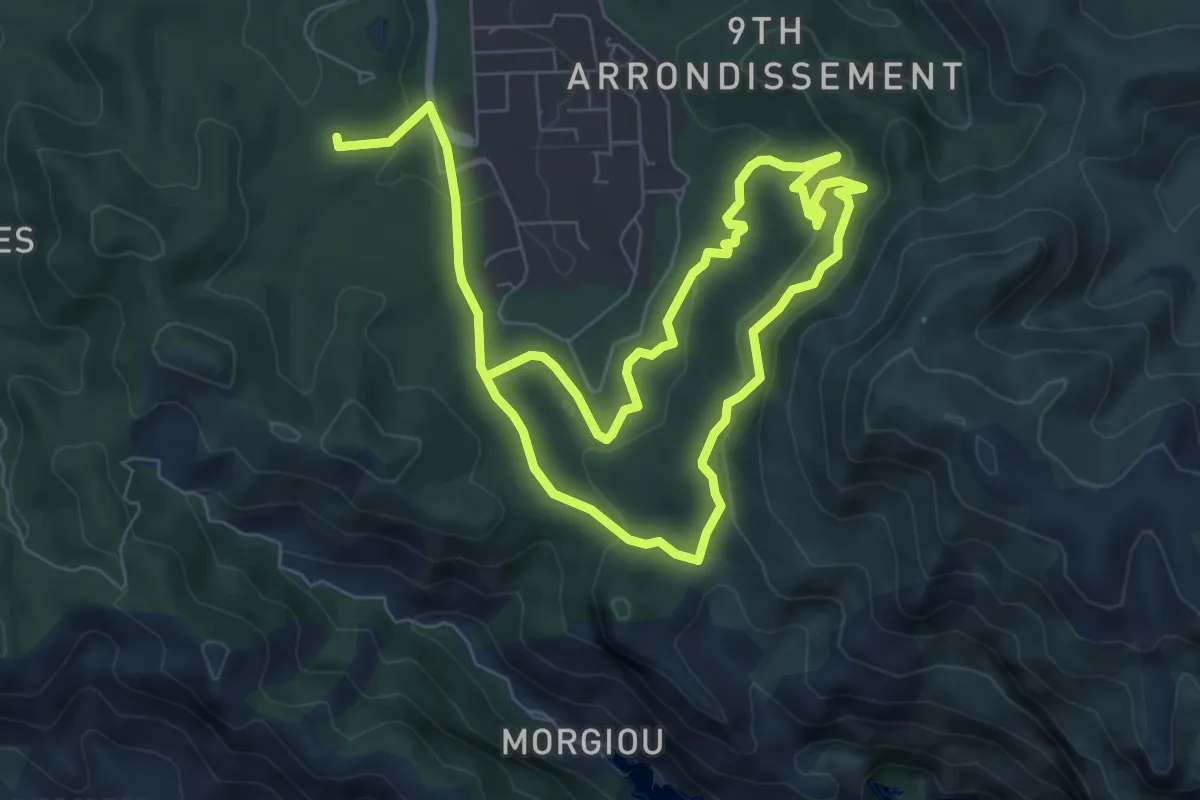
Medium · Trail
Luminy – Luminy
13.6 km · ↑ 392 m · 4 h 4 min · 13 km away
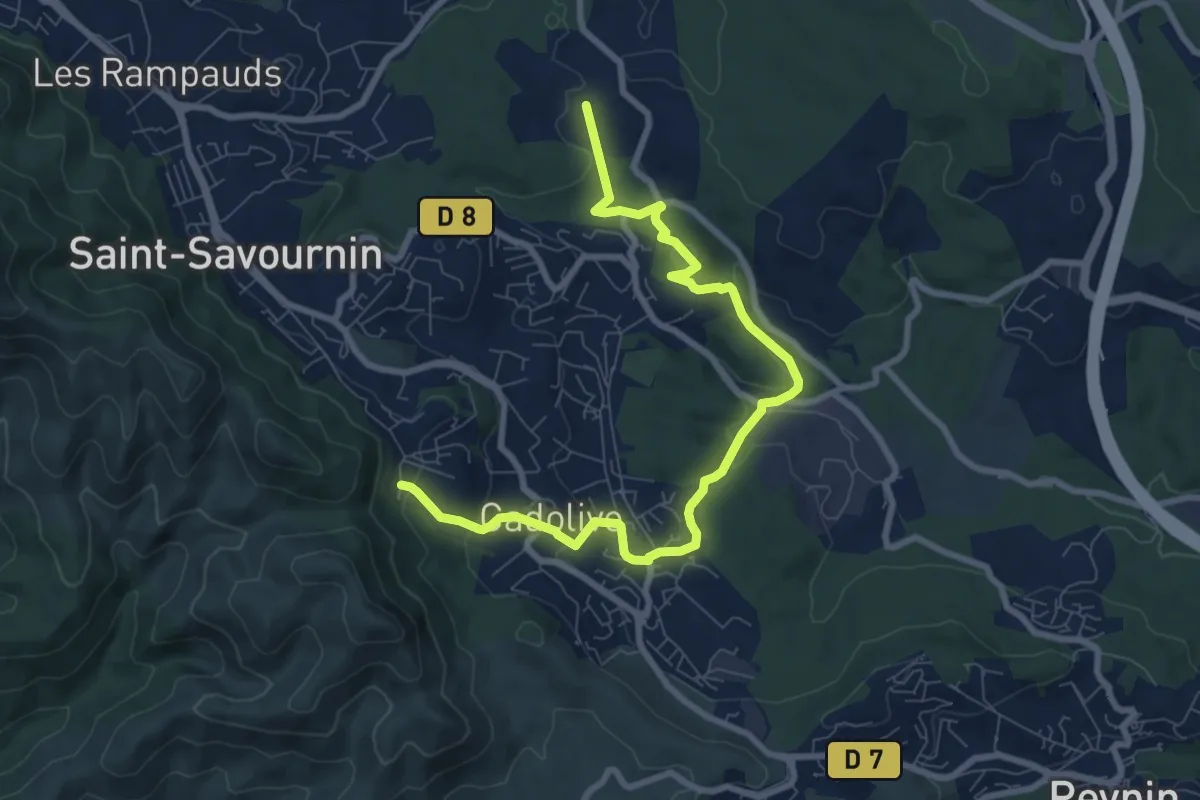
Medium · Trail
Du poteau ET 02 au poteau ET 30
9.9 km · ↑ 281 m · 2 h 56 min · 13 km away
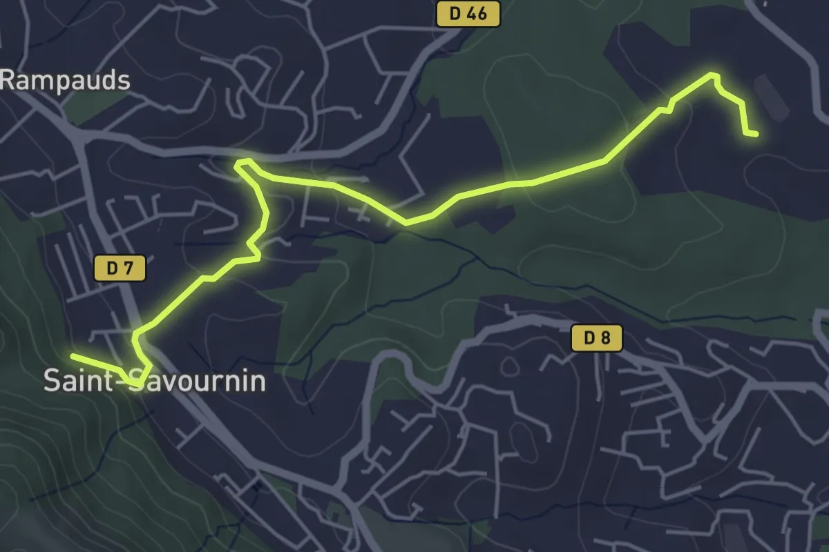
Easy · Trail
Du poteau ET 07 au poteau ET 30
5.6 km · ↑ 139 m · 1 h 38 min · 13 km away
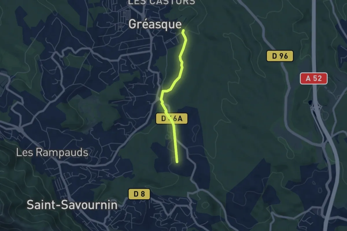
Easy · Trail
Du poteau ET 30 au poteau ET 31
4.7 km · ↑ 39 m · 1 h 12 min · 13 km away
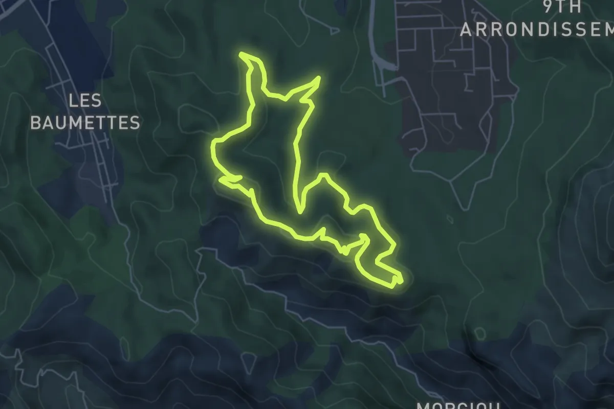
Easy · Summit
Parking de l'école supérieure de commerce – Parking de l'école supérieure de commerce
5.9 km · ↑ 177 m · 1 h 51 min · 14 km away
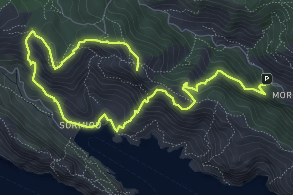
Medium · Summit
Sentier des Baumettes – Morgiou
10.2 km · ↑ 740 m · 4 h 1 min · 14 km away
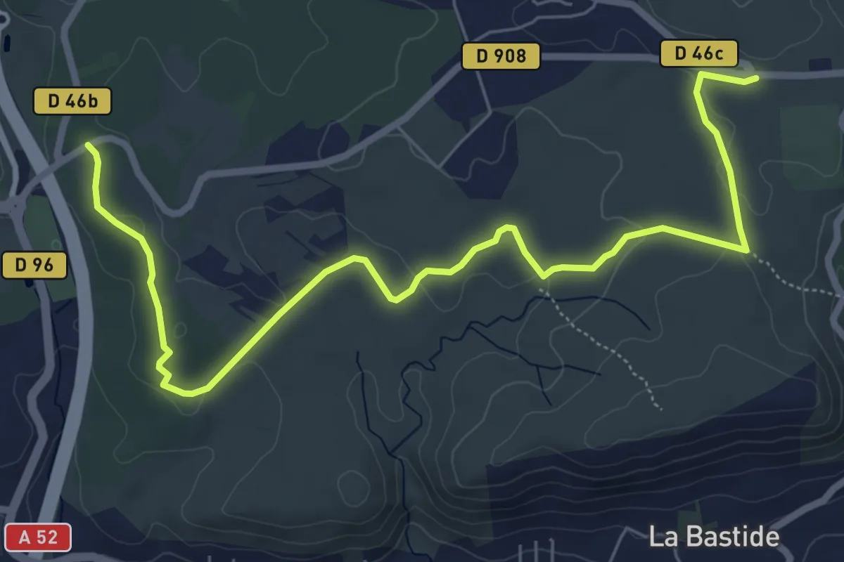
Medium · Trail
Du poteau RE ?? à Belcodéne
8.2 km · ↑ 93 m · 2 h 8 min · 14 km away
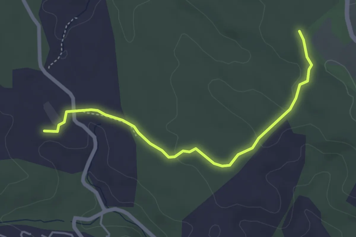
Easy · Trail
Du poteau ET 30 au poteau ET 33
4.5 km · ↑ 56 m · 1 h 11 min · 14 km away
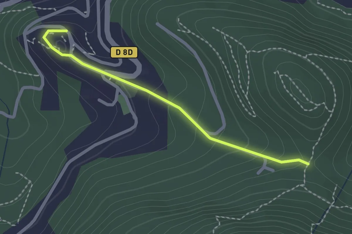
Easy · Trail
Du poteau ET 08 à Mimet
2.0 km · ↑ 102 m · 42 min · 14 km away
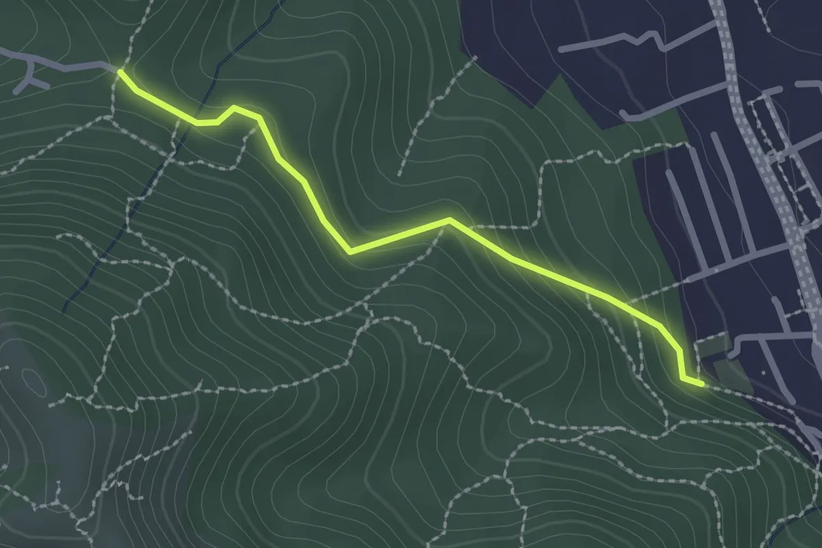
Easy · Trail
Du Poteau ET 07 au poteau ET 08
2.2 km · ↑ 130 m · 48 min · 14 km away
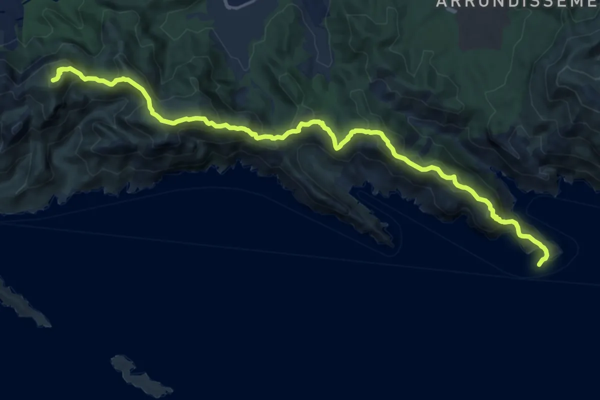
Demanding · Summit
La Madrague – Cap Morgiou
17.6 km · ↑ 937 m · 6 h 11 min · 14 km away